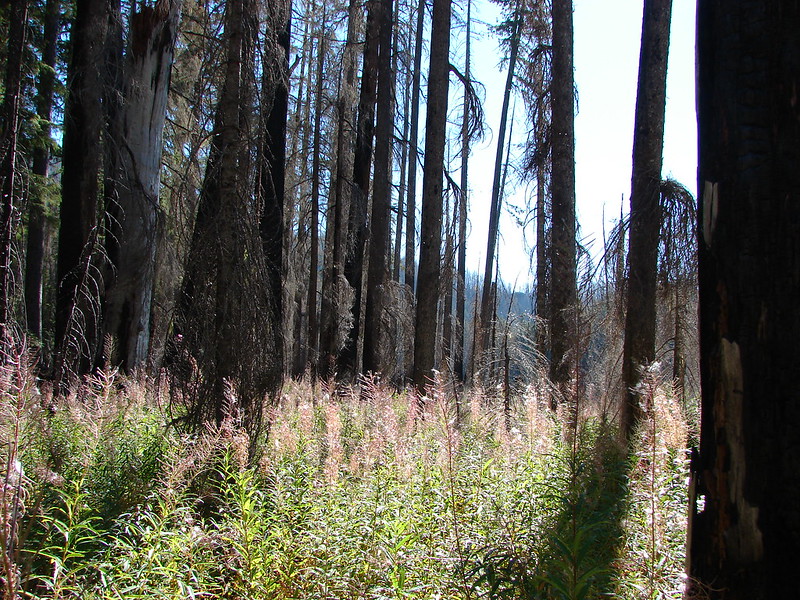
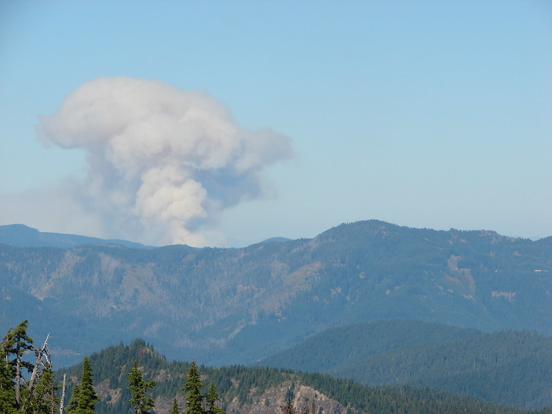
**Note a portion of this hike burned in the 2021 Bull Complex.**
There are a number of trailheads that have earned bad reputations due to the frequency of car break-ins and for years the Bagby Hot Springs Trailhead has been near the top of the list. In 2012 the Mt. Hood National Forest contracted with a private company to manage the hot springs which came with a $5 per person fee to soak in the hot springs (parking at the TH is free if you’re just hiking along the Bagby Trail), but it also allowed for someone to keep an eye on the trailhead parking lot from May through October. Even with someone patrolling the parking area we made sure to leave nothing of value in our car as we set off toward Bagby Hot Springs.

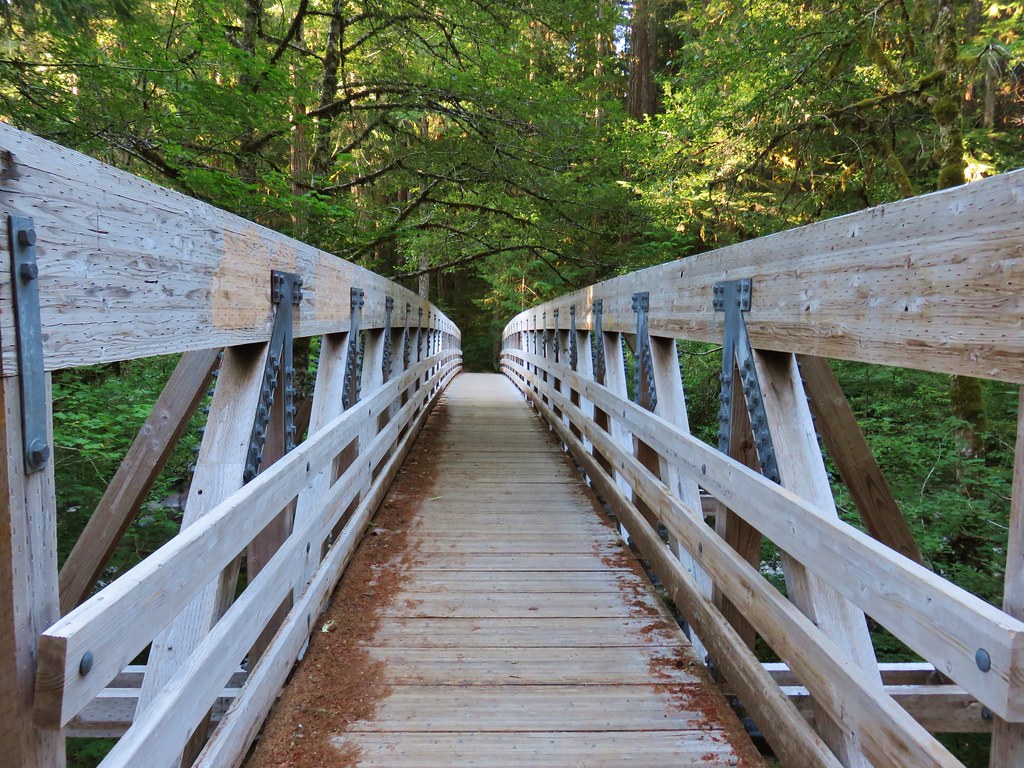
The trail almost immediately crossed Nohom Creek on a nice footbridge.

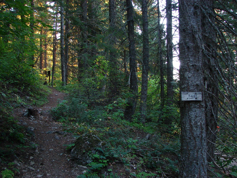
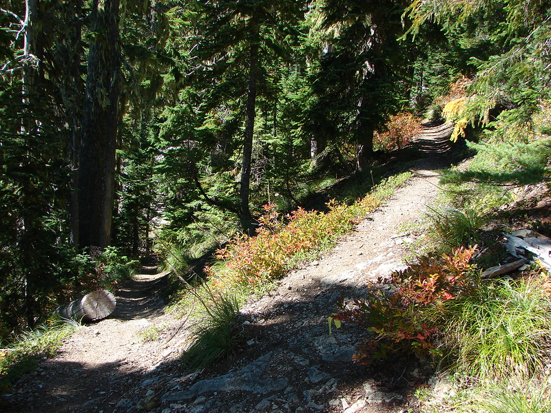
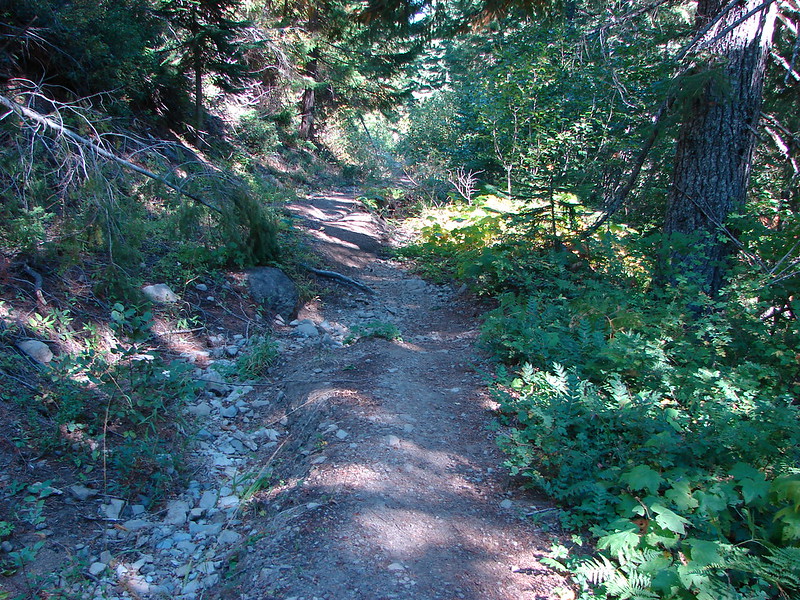
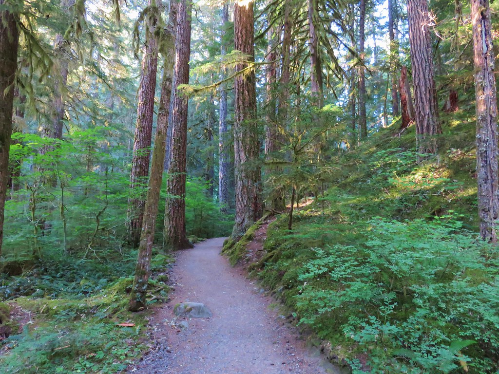
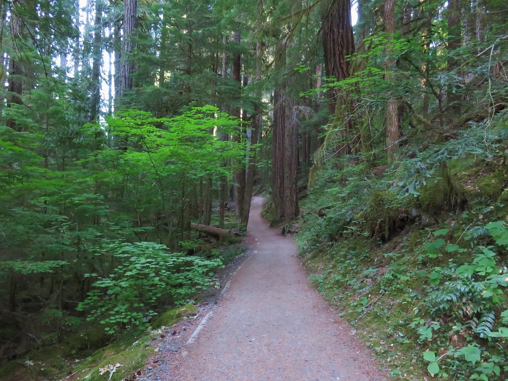
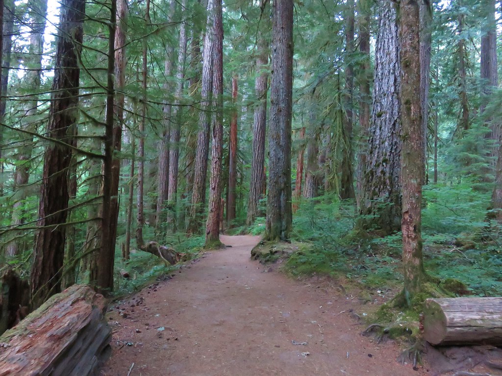
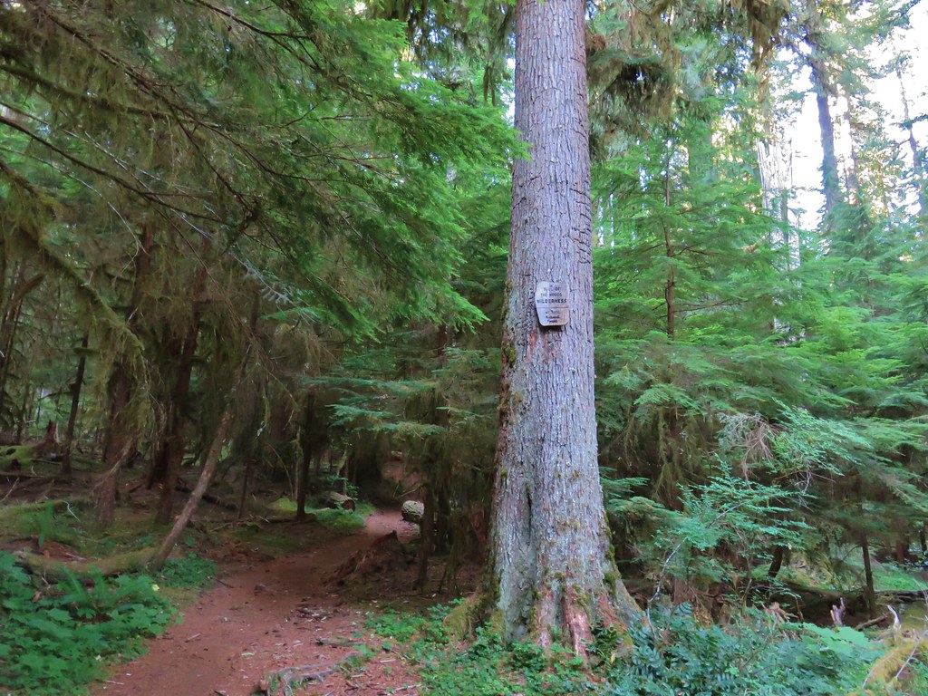
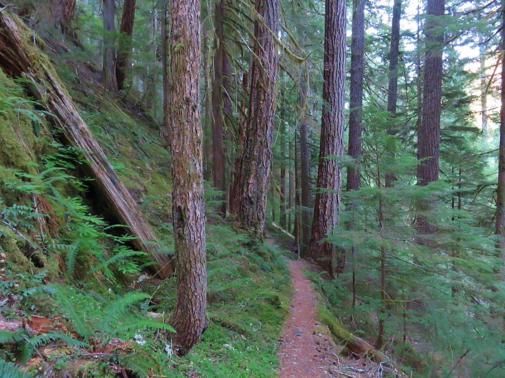
The wide trail then passes though a nice old growth forest.
Unfortunately the beauty of the scenery was somewhat lessened by the presence of glitter (why), graffiti, tree carvings, and toilet paper along this section. It was quite obvious that a portion of the people drawn to the hot springs had no regard or respect for the forest itself. Luckily the hot springs were only 1.5 miles up the trail and beyond them we didn’t see these types of issues.
Shortly before the hot springs the trail crossed the Hot Springs Fork of the Collawash River on another long footbridge.

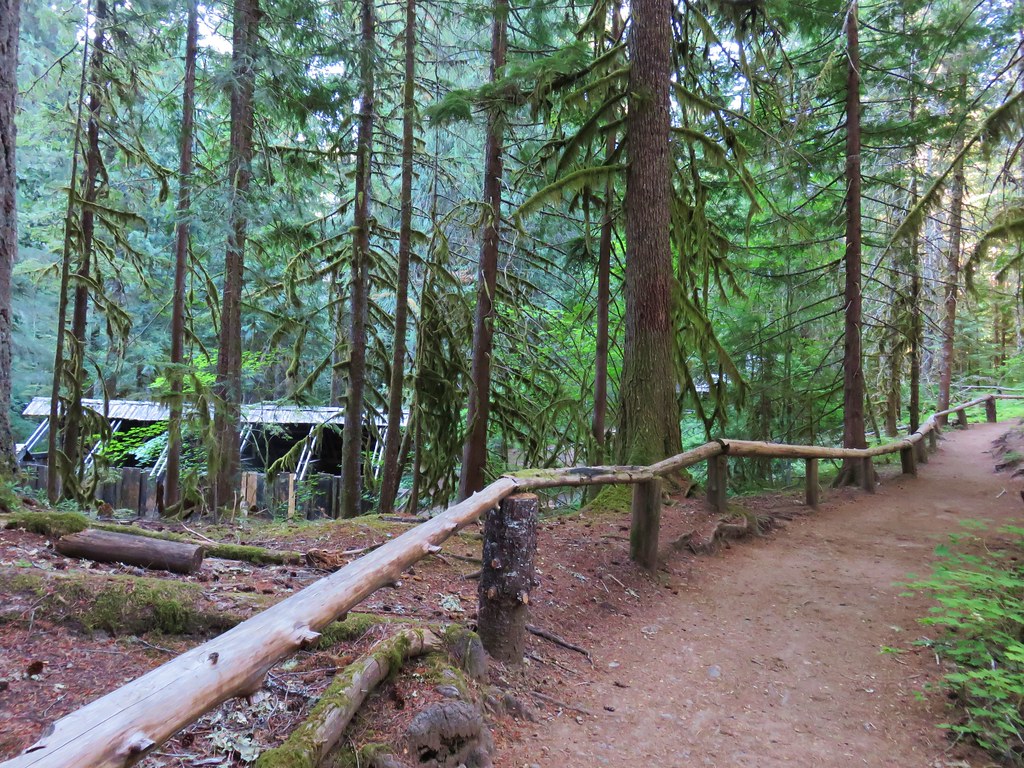
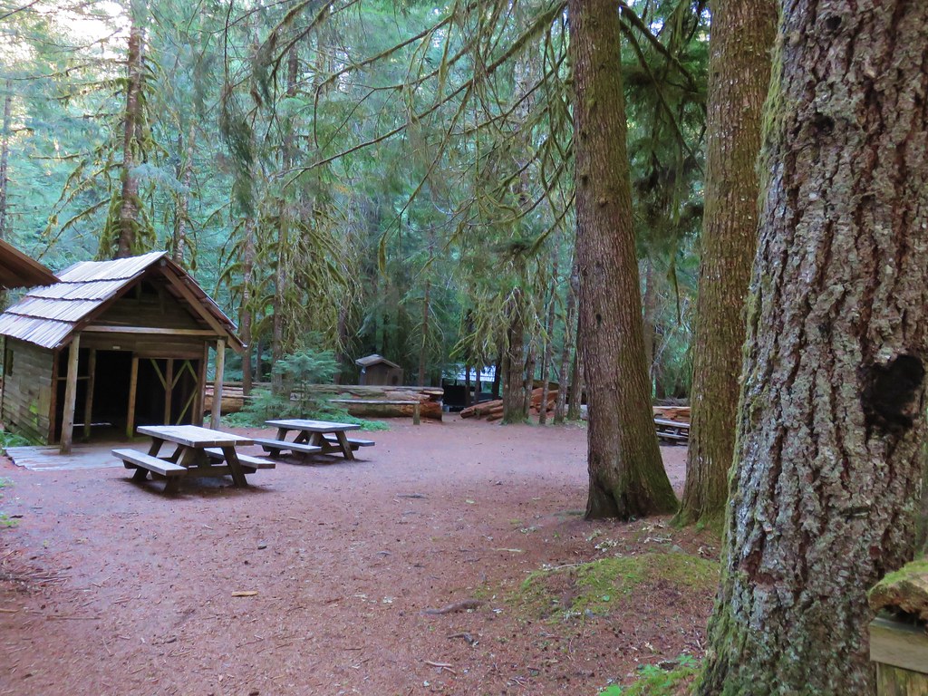
Less than a quarter mile from the bridge the trail arrived at the Bagby Hot Springs Forest Camp. Several buildings remain from the forest camp with the bathhouse, picnic area, and hot tub on the eastern side of the trail.

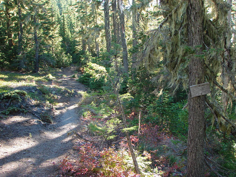
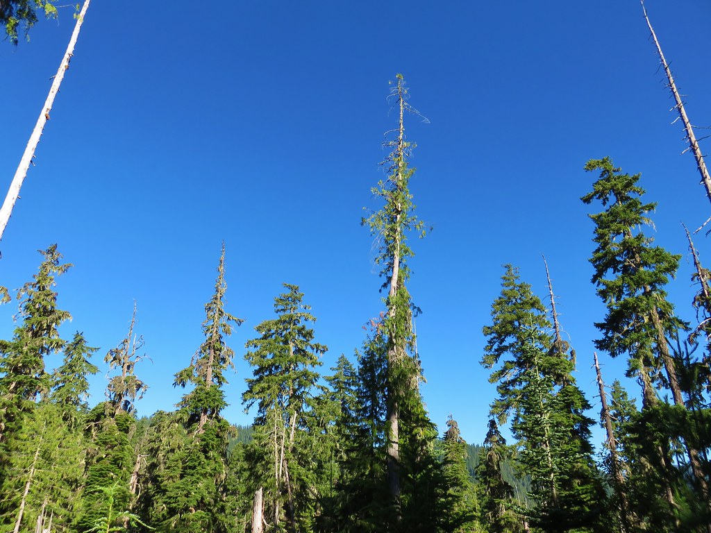
Beyond the forest camp the trail entered the Bull of the Woods Wilderness.
The trail remained fairly wide as it made it’s way to Shower Creek Falls near the two mile mark.
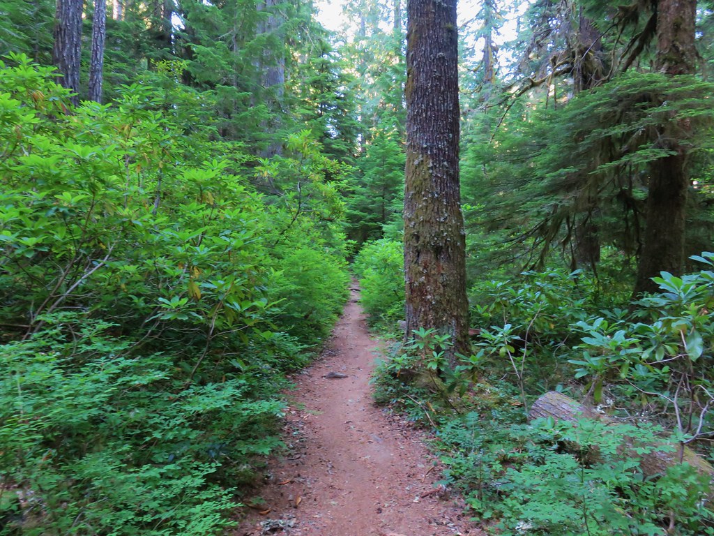
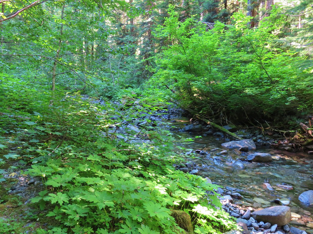
The trail traversed the hillside above the Hot Springs Fork passing several campsites closer to the river below. Views were limited by the presence of the old growth forest which is a fine trade-off.
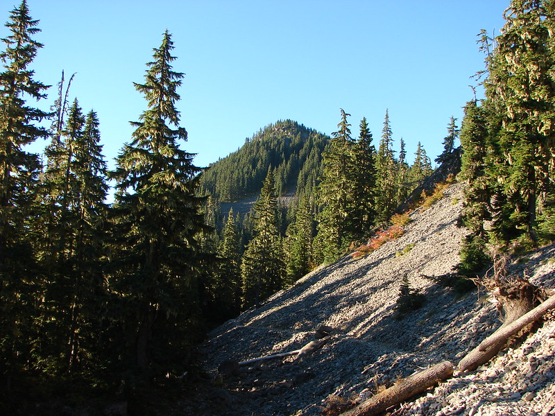
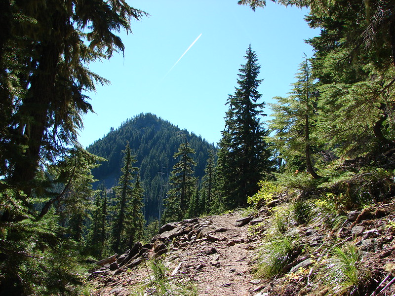
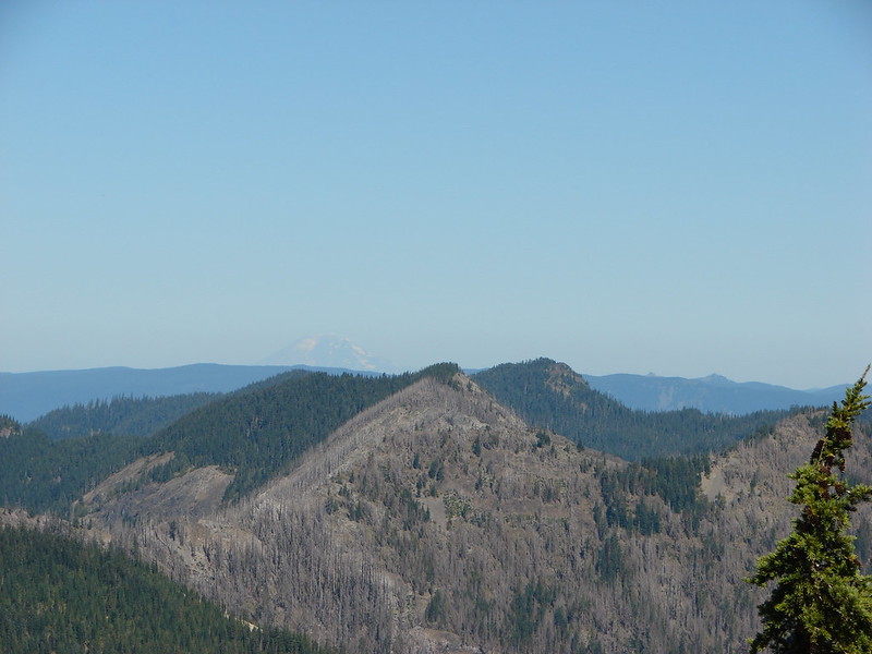
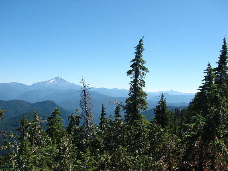
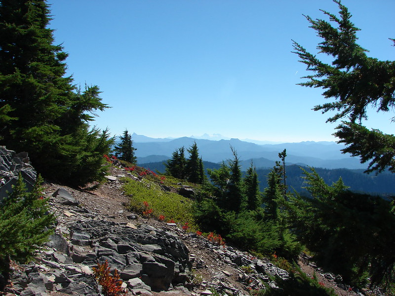
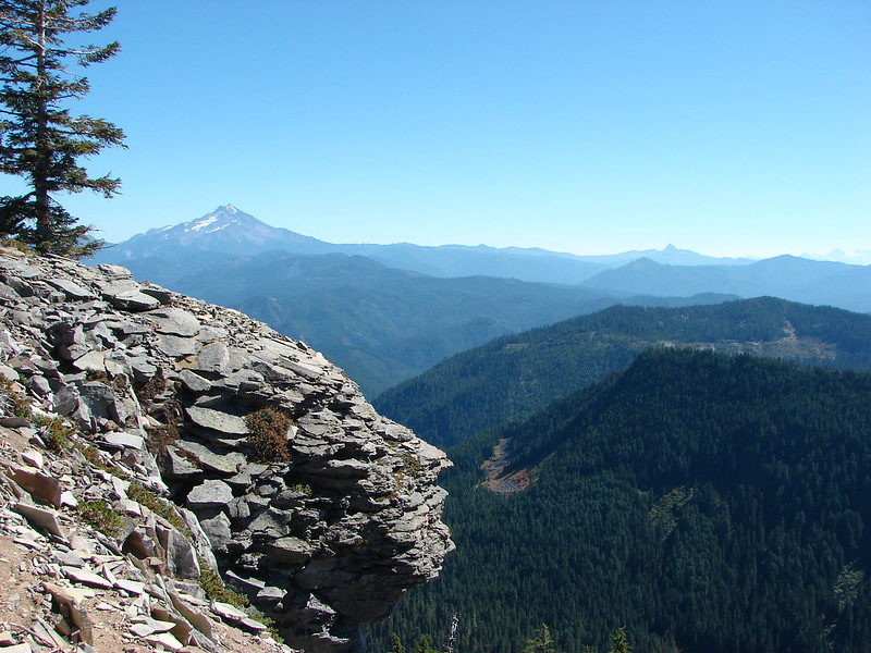
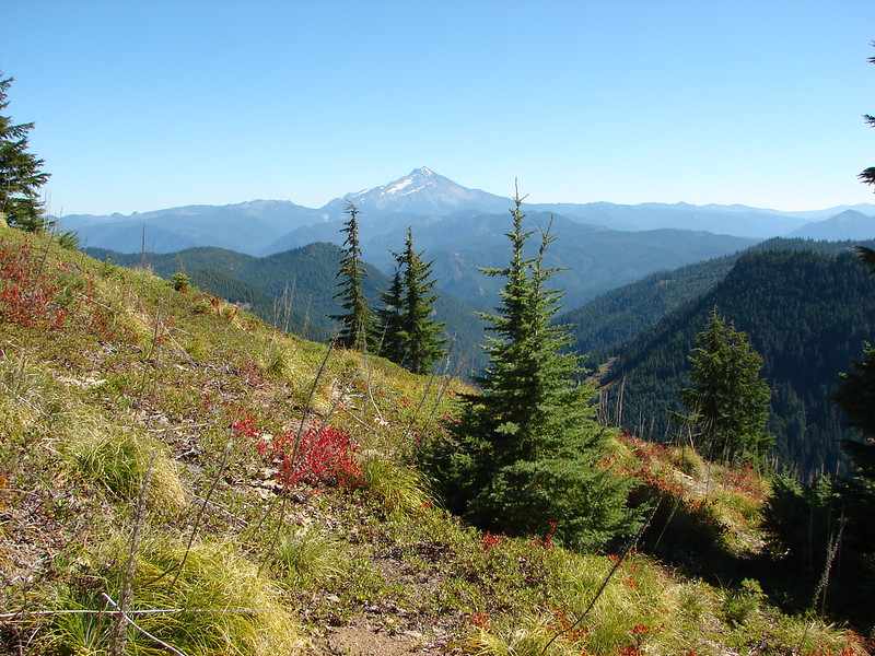
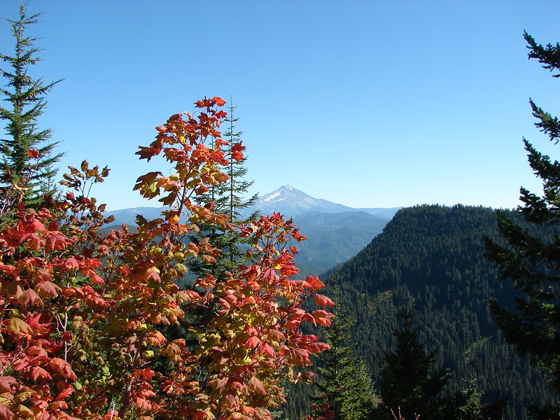
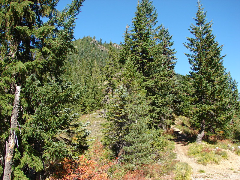
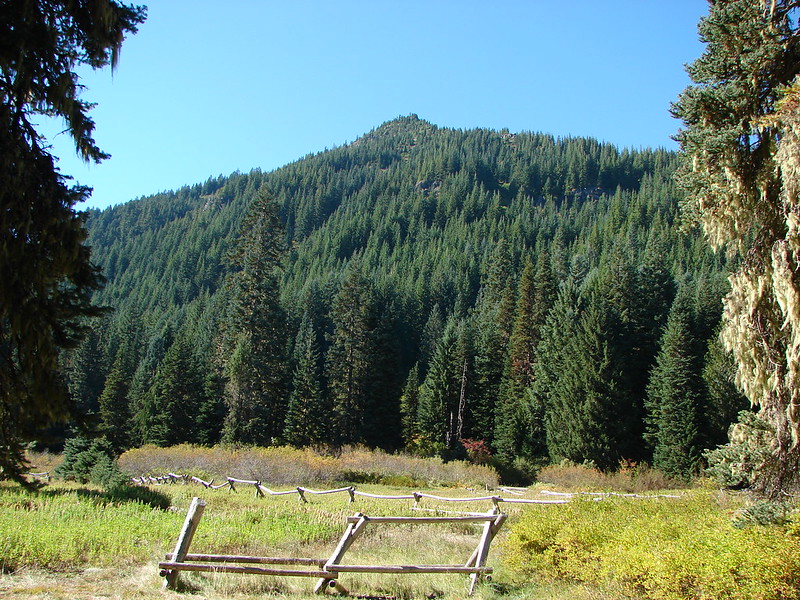
 Whetstone Mountain (post)
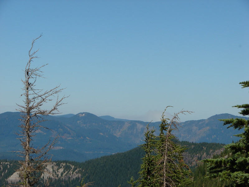
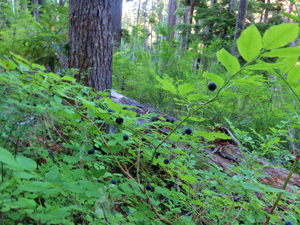
We did pass through a couple of areas where there had been fire activity at some point. In these areas the huckleberries were abundant.
 <
<

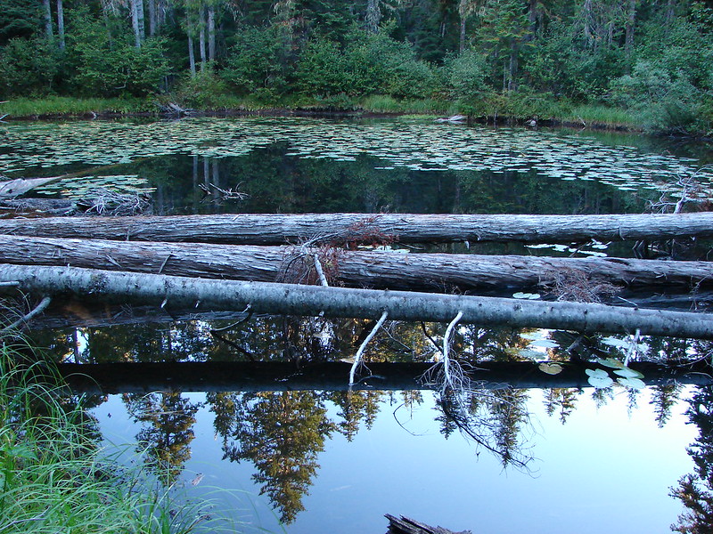
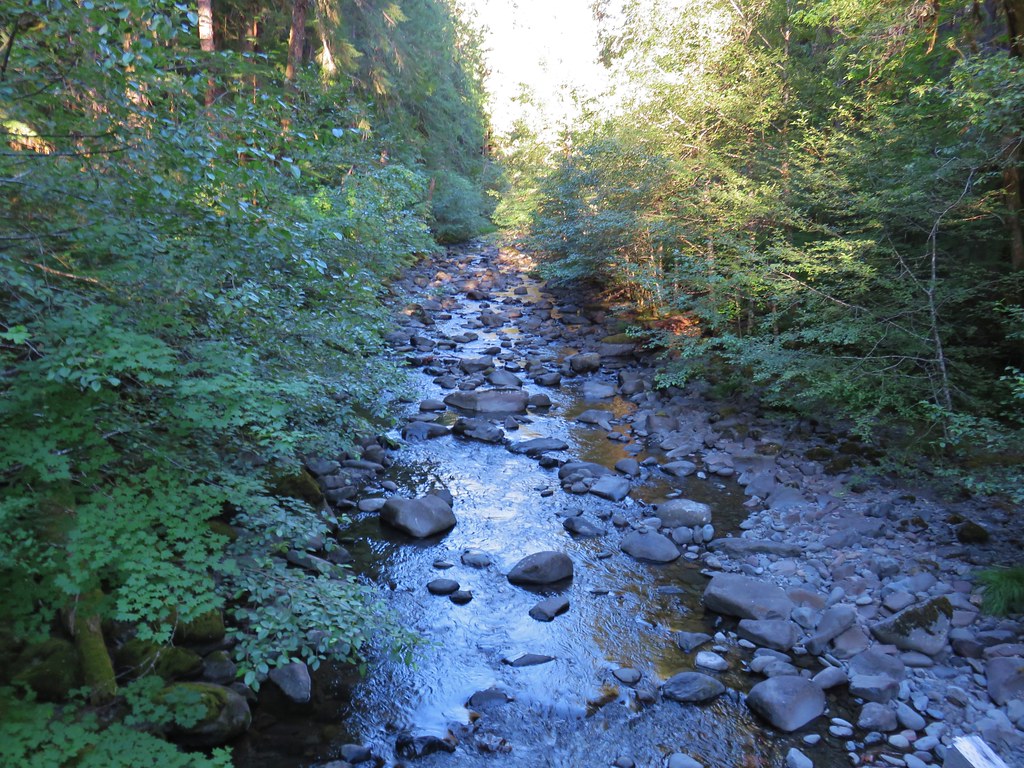
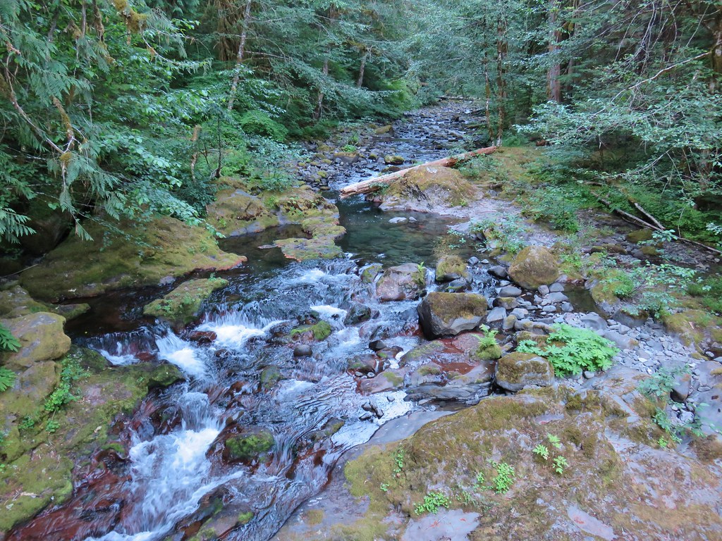
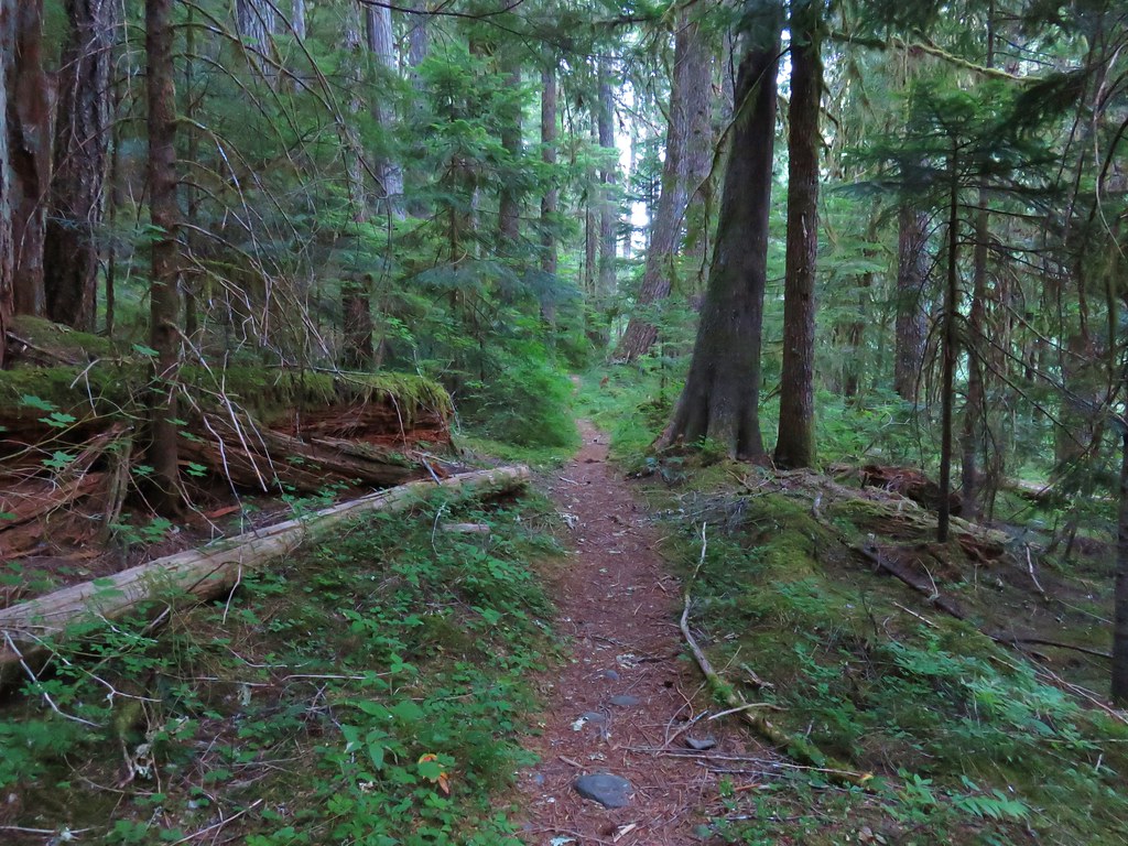
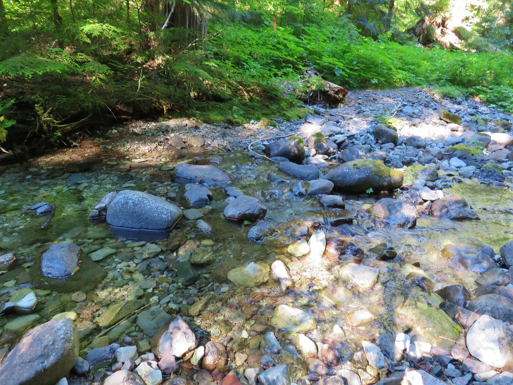
The trail crossed many side creeks, some dry, others not, before arriving at a crossing of the Hot Springs Fork near the six mile mark.
The water level was low enough that we were able to rock hop across keeping our feet dry.
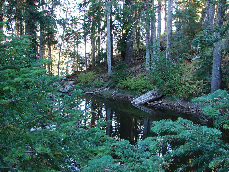
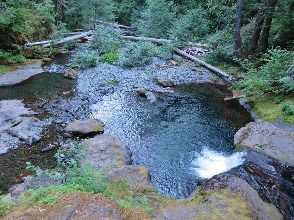
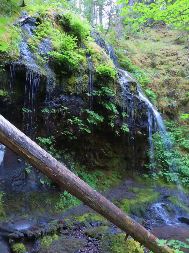
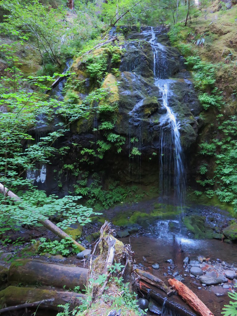
Not long after the crossing we spotted a waterfall through the trees. We decided to attempt to bushawack over to it to get a closer look and were rewarded with what wound up being the highlight of the hike.


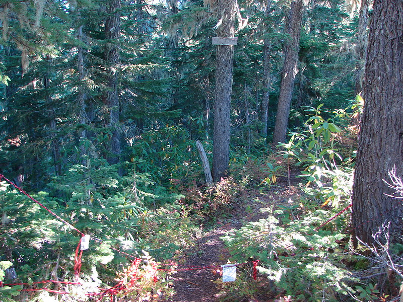
The trail had been gradually climbing with a few ups and downs prior to crossing the Hot Springs Fork. The gradual climb continued for approximately another half mile and then the Bagby Trail decided it needed to gain some elevation. Over the next mile the trail gained nearly 550′. At the 7.5 mile mark we arrived a junction with the Silver King Lake Trail.
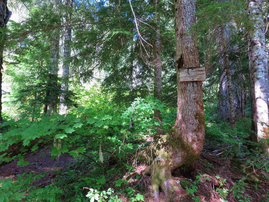
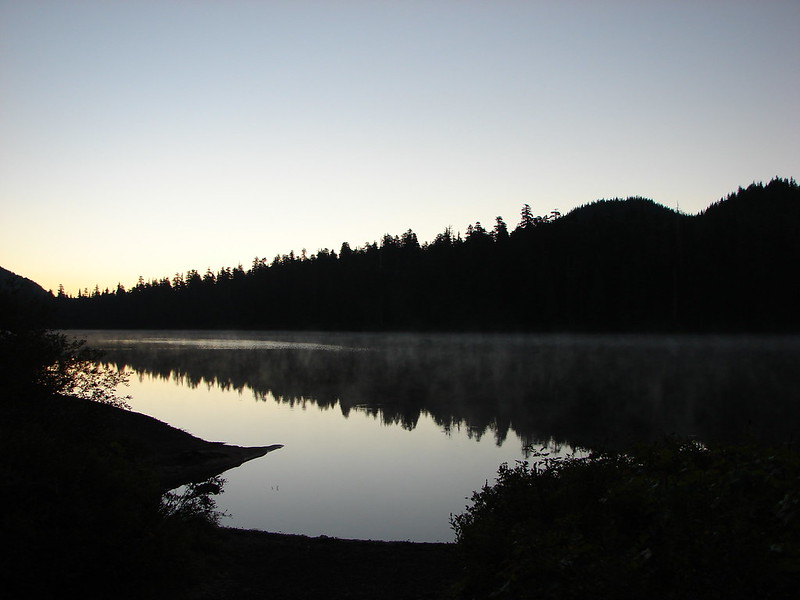
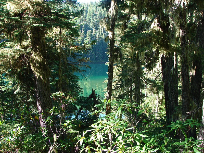
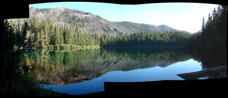
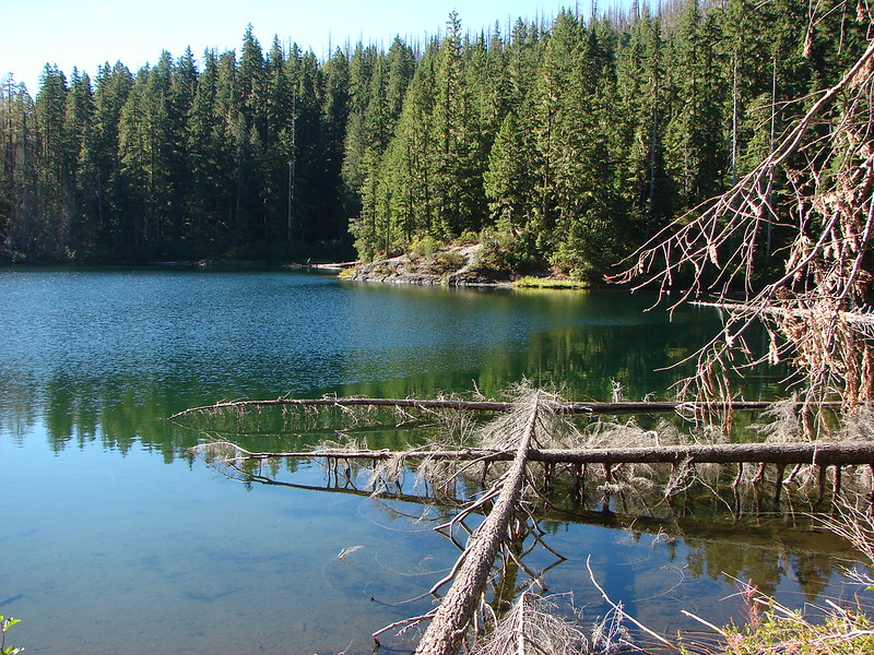
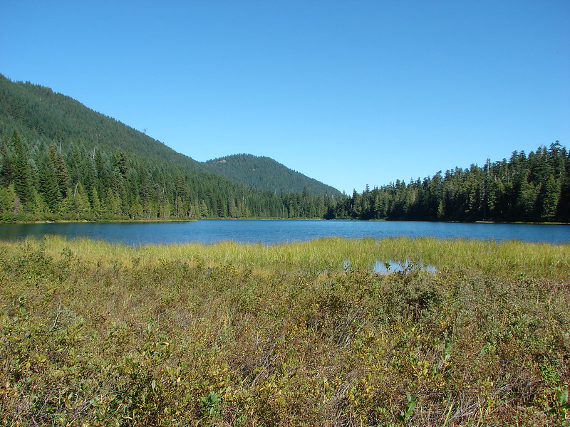
We followed this .2 mile trail uphill to Silver King Lake.

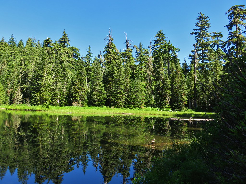
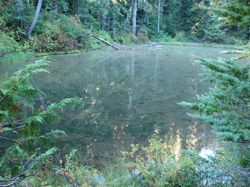
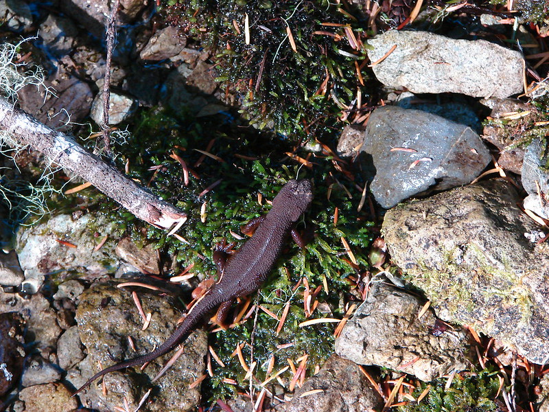
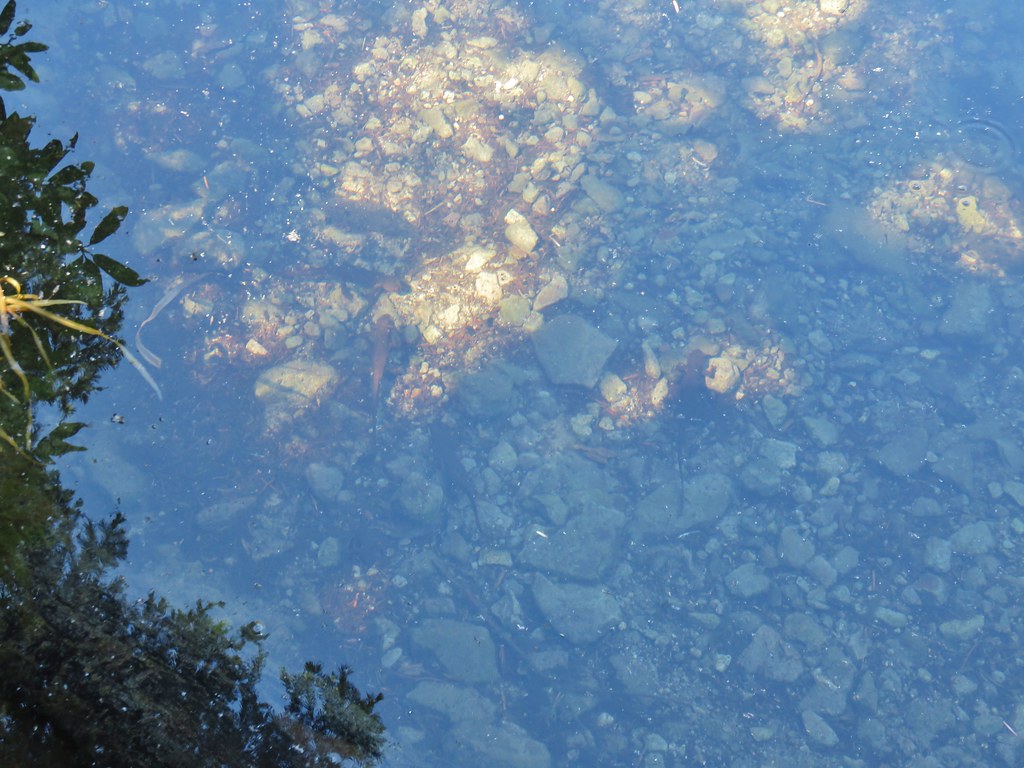
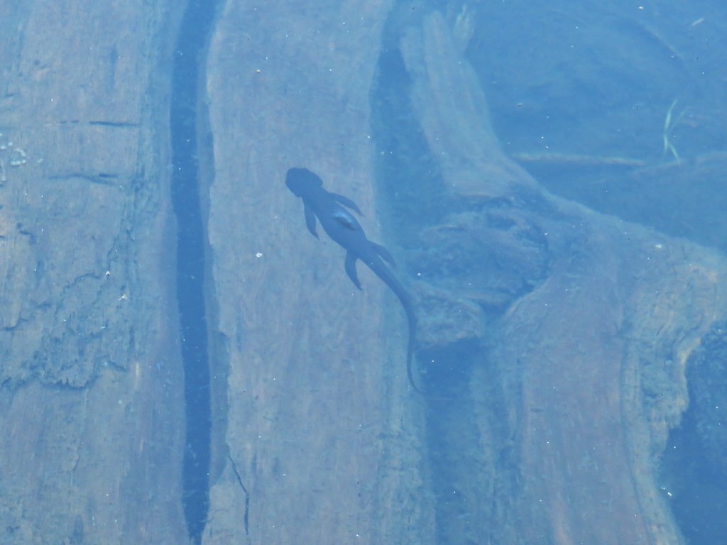
The campsite at the lake was unoccupied but the lake itself was full of rough skinned newts.
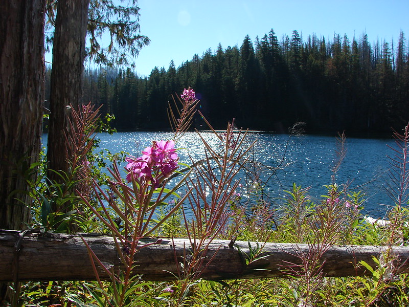
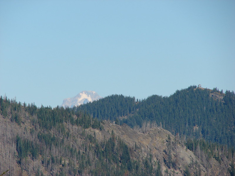
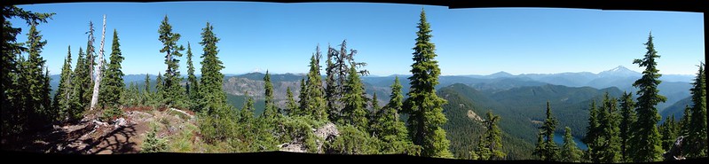
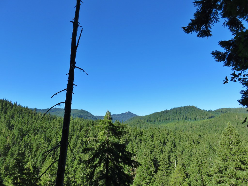
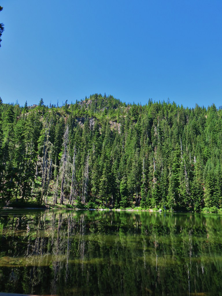
There wasn’t much of a view from the lake but from the NE side there was a good view of Sliver King Mountain across the water.
We rested on some logs at the campsite since there wasn’t really anywhere to sit along the brushy lake and there were a few more mosquitoes closer to the water. After a snack and some stretching we headed back the way we’d come. It was a fairly uneventful return trip. We had expected to see quite a few more people on the way out after only seeing a couple of people at the bathhouse and two backpackers at campsites further along that morning. We did pass a couple of hikers prior to reaching Shower Creek Falls where we encountered a small group cooling off in the falls. There were several more people at Bagby Hot Springs but it didn’t seem crowded which we attributed to the heat thinking that hot springs didn’t seem as appealing on such a hot day. We passed a handful of people between the hot springs and the trailhead where there were still plenty of parking spaces left and our car had been untouched.
Our hike was a little over 16 miles round trip due to some of the off trail activity making for a long hike but it was a nice one. The Bagby Trail beyond the hot springs was at times overgrown and had some blowdown along it, but it offered a feeling of solitude which is always a plus to us. Happy Trails!
Flickr: Bagby Trail to Silver King Lake