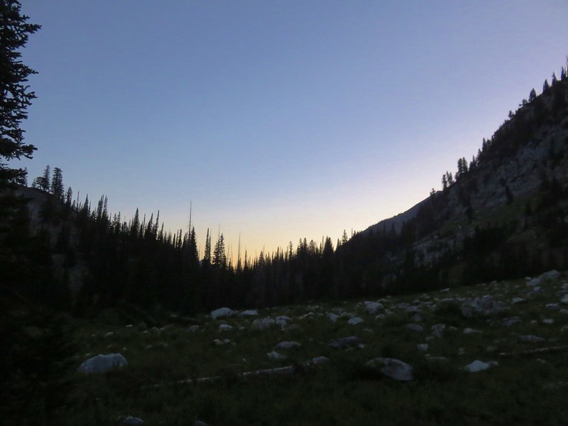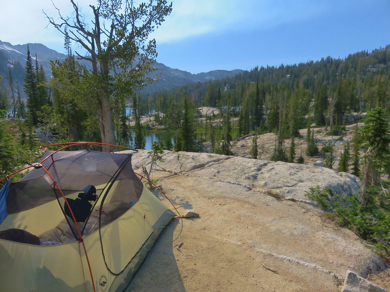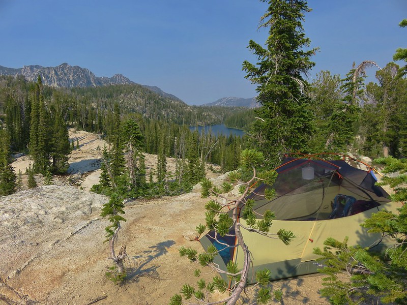
After an excellent hike to Bonny Lakes (post) followed by a night of intense thunderstorms I woke up extra early Thursday morning to check various fire and lightning strike maps and the Forest Service website online. While there had definitely been some lightning strikes, the various satellites weren’t showing any hot spots in the area of the Minam Lake Trail so we set off as planned to the Two Pan Trailhead

 Even at 6am on a Thursday the trailhead parking was nearly full.
Most of the people parked at the trailhead were likely headed for the Lakes Basin below Eagle Cap (post). It’s 7.4-miles to Mirror Lake in that popular basin by following the East Fork Lostine River Trail. We however were headed for Minam Lake which is the headwaters for the West Fork Lostine River. The trails share tread for the first tenth of a mile before splitting.

 This was a neat feature.
 We both counted our steps, for me it was 50 and Heather 60.
 The Lostine River.
 Entering the Eagle Cap Wilderness just before the trails split.
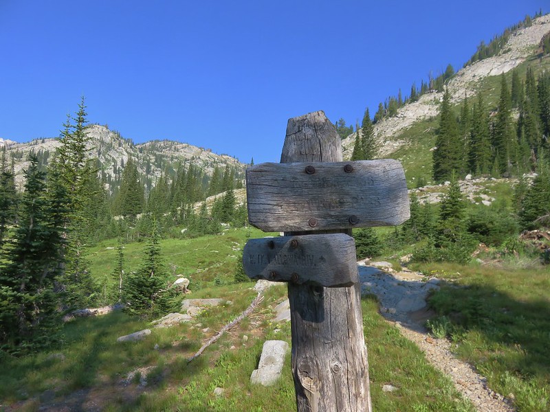
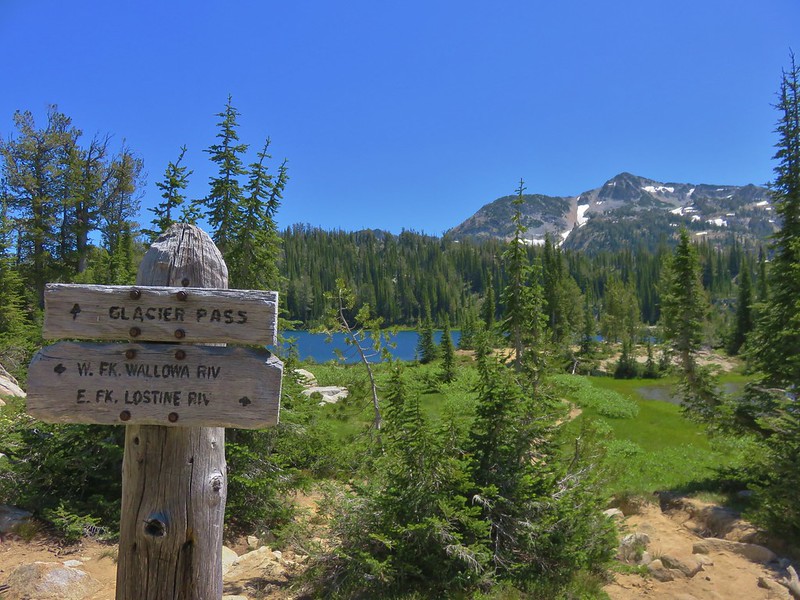
 Trail sign at the fork.
We headed right on the Minam Lake Trail which climbed steadily for 2.7-miles to a junction with the Copper Creek Trail.

 Bridge over the East Fork Lostine River.
 East Fork Lostine River
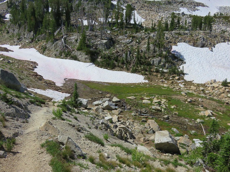
 The storm overnight had provided a little much needed rain.
 Huckleberries (I’d already picked the ripe ones.)


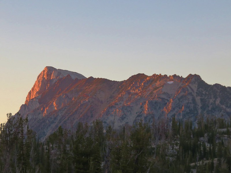
 Elkhorn Peak
 Monkshood


 Some of the river channels were very calm and crystal clear.
 We passed through a section of bent and snapped trees which were probably a result of an avalanche.


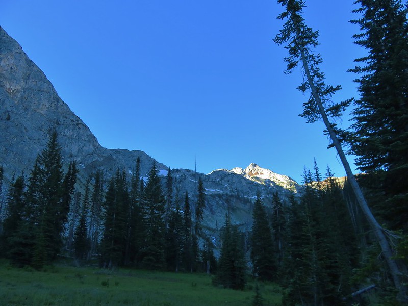
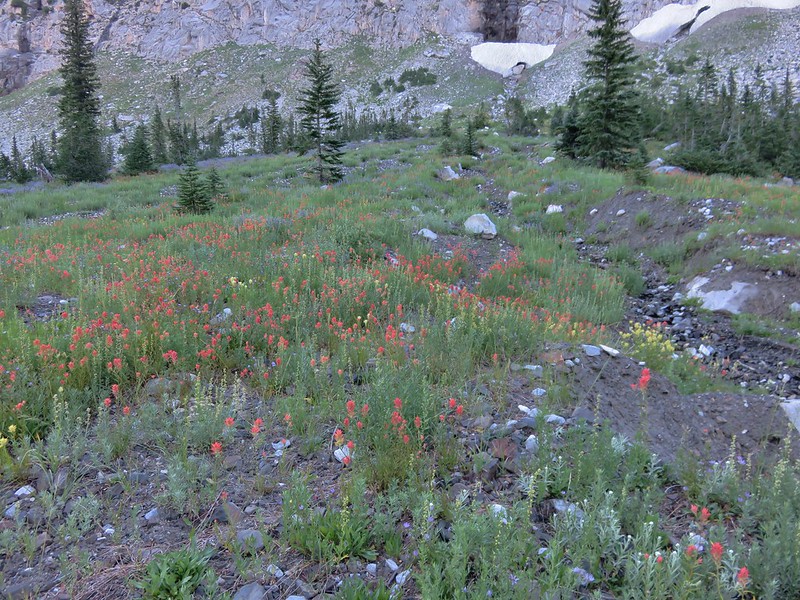
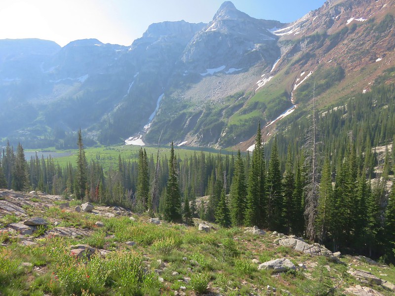
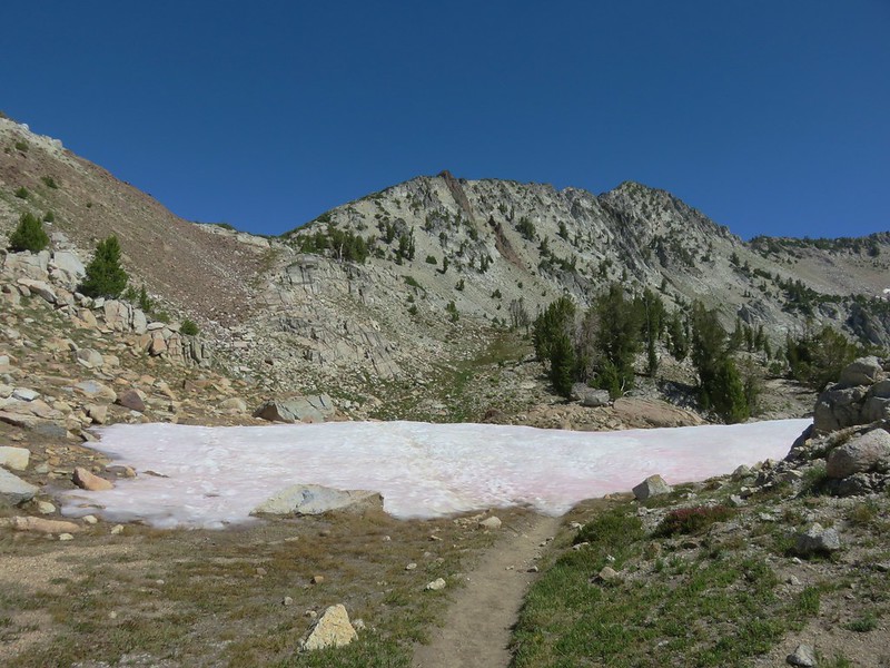
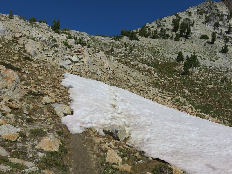
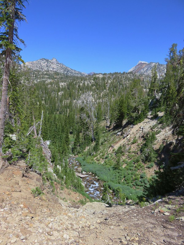
The trail climbed more steeply at times over the next 1.5-miles before arriving at a crossing of the West Fork Lostine River. Views also began to open up along this section.
 Glacier Mountain

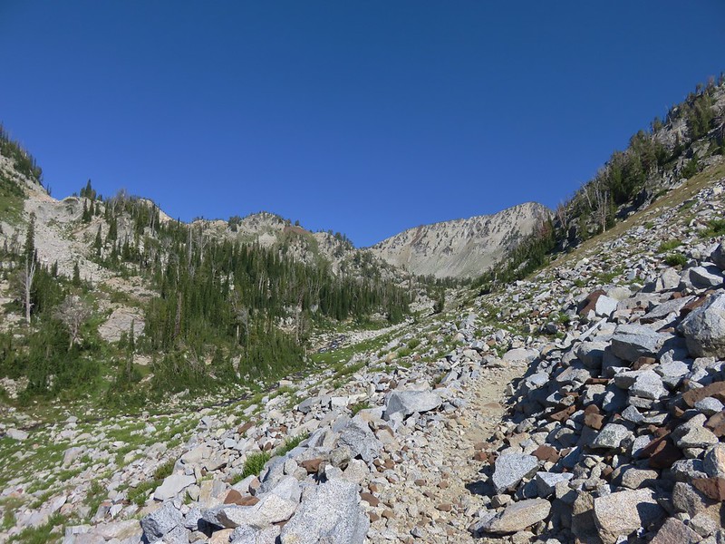
Talus field along the trail. We encountered a gentleman hiking out who we spoke with about the storm. He said it was wild from about 4pm to 9pm with multiple strikes very close. He said he’d had enough between the excessive heat, bugs, and then the storm and was thinking that his days of summer visits might be over and Autumn trips might be his new go to.
 Looking back at the other side of Elkhorn Peak.
 Nuttal’s linanthus
 Looking back down one of the steeper sections. We passed another couple heading out along this section.
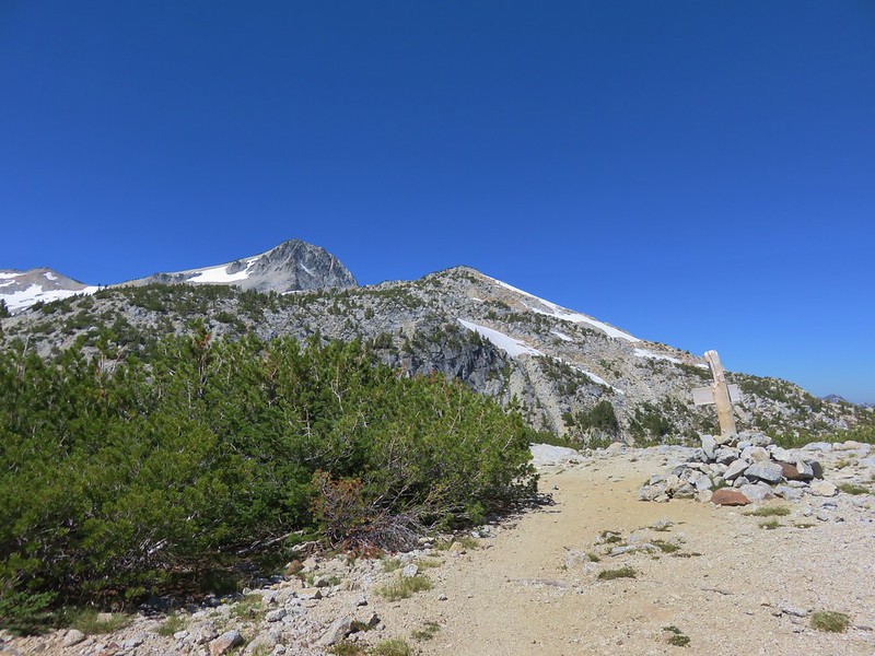
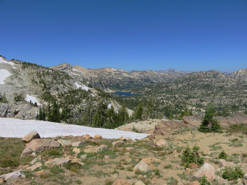
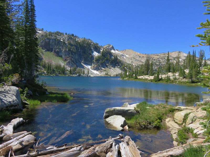
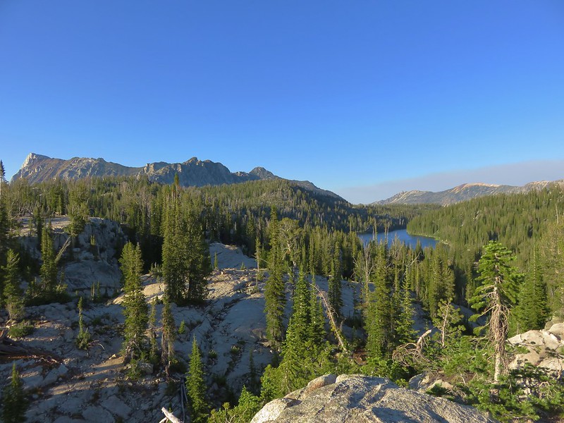
 Looking up the Copper Creek drainage. Glacier Mountain on the left and Elkhorn Peak on the right.
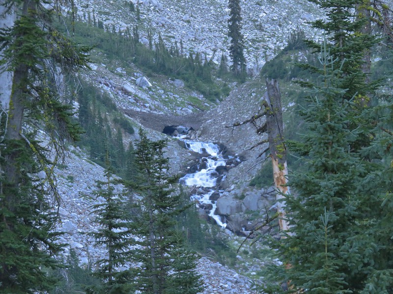
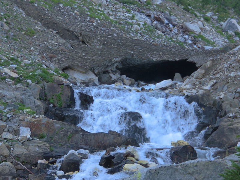
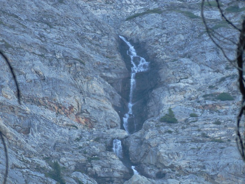
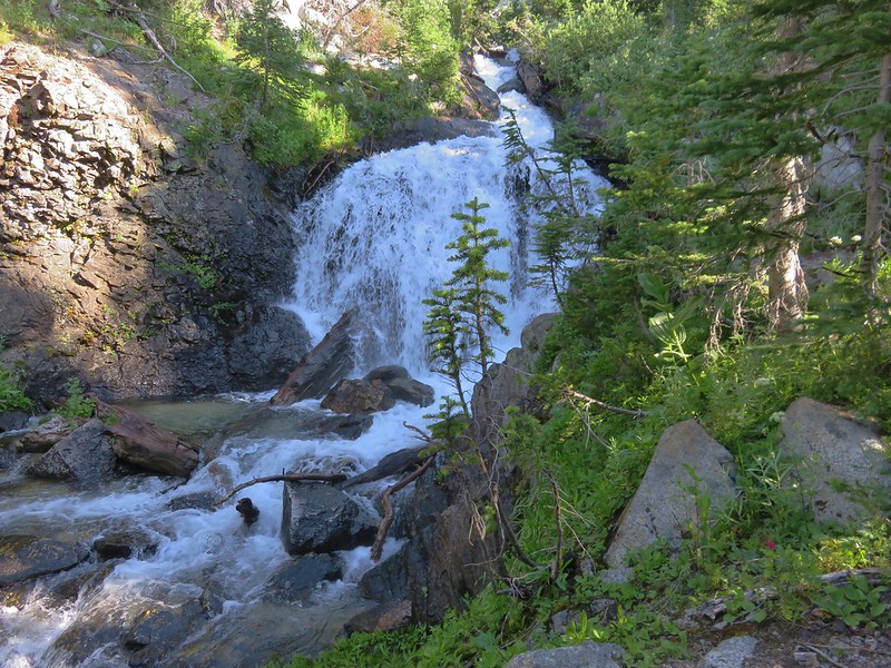
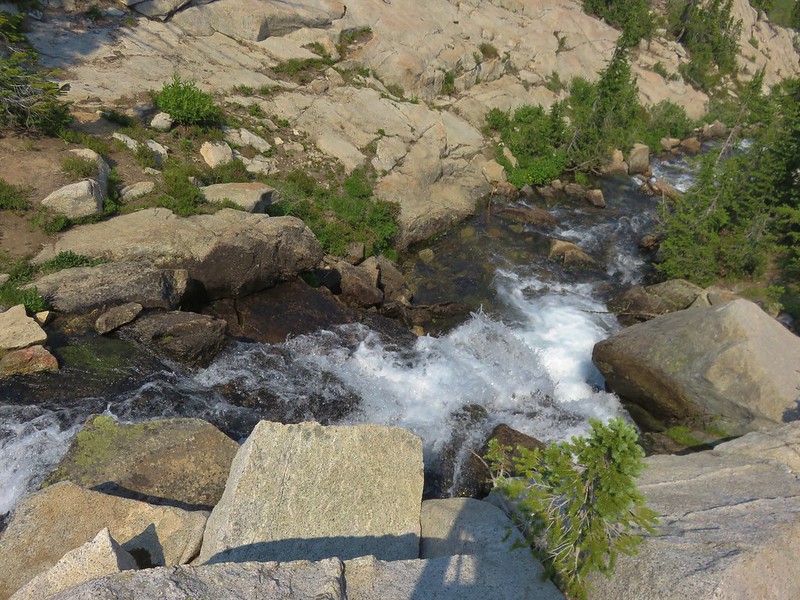
 Off-trail waterfall. We could hear this from the trail, and it was a fairly easy bushwack to get a good view.

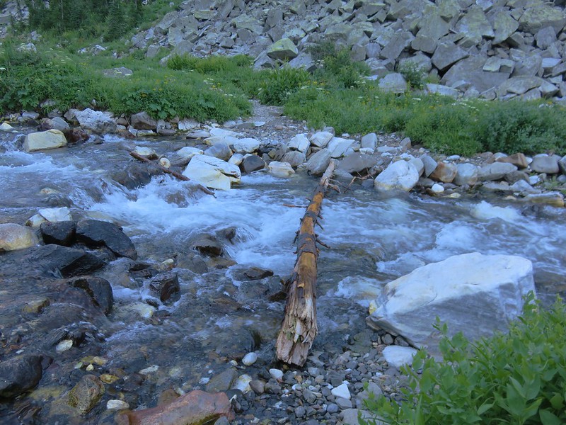
 The river crossing.

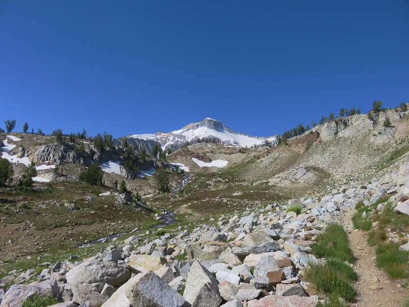
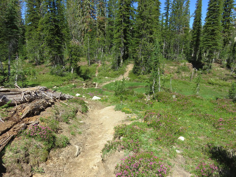
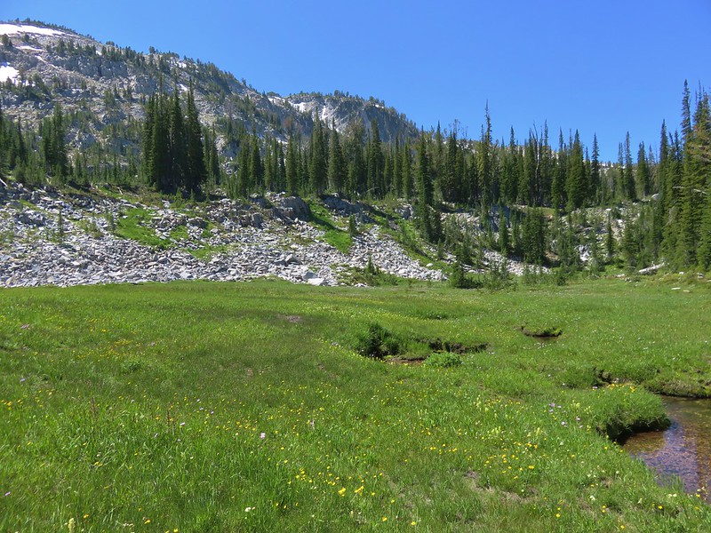
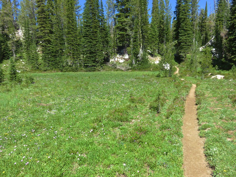
It was another 1.5-miles from the crossing to Minam Lake but only a 300′ elevation change. This section of trail passed along a beautiful, large meadow and recrossed the river after just over a mile.

 Yellow columbine
 A little hazy looking toward the Sun.


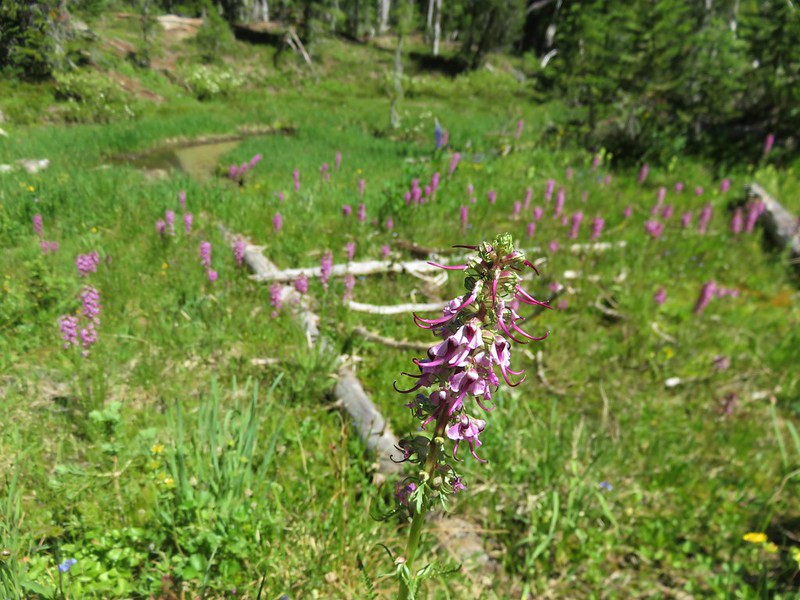
 Elephants head

 Unnamed creek
 An easier crossing of the river here.


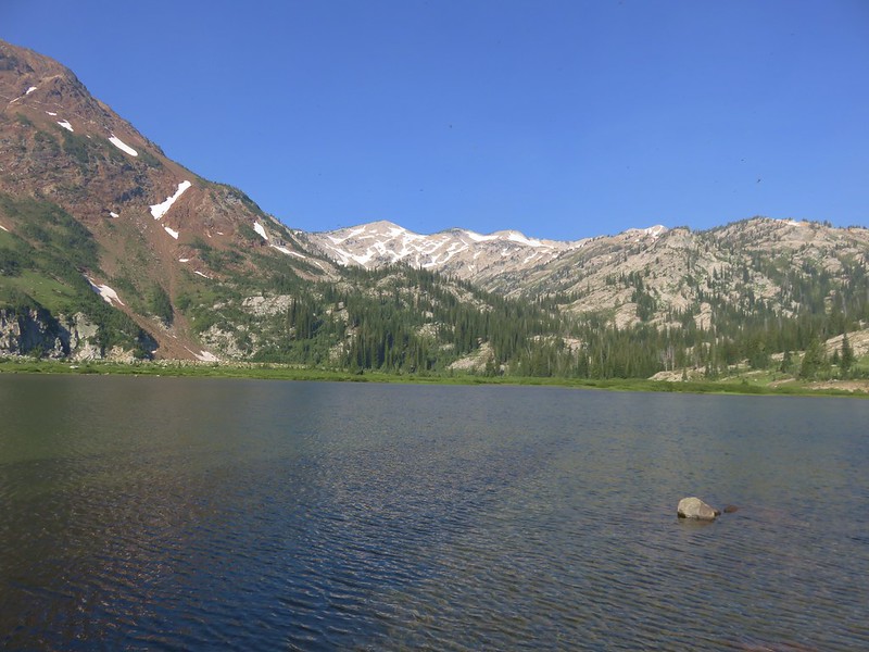
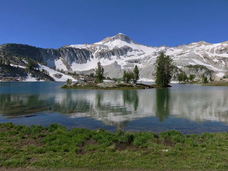
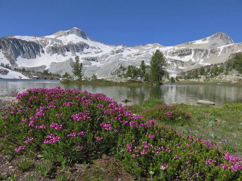
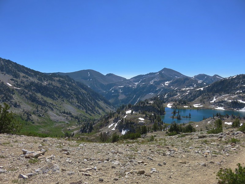
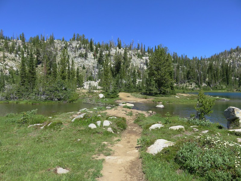
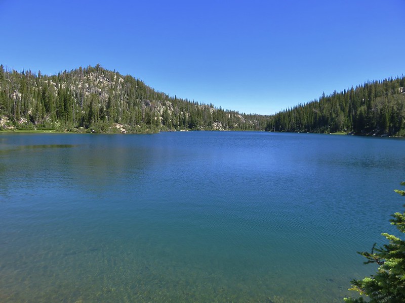
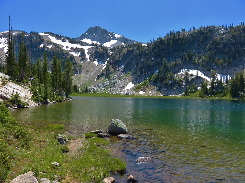
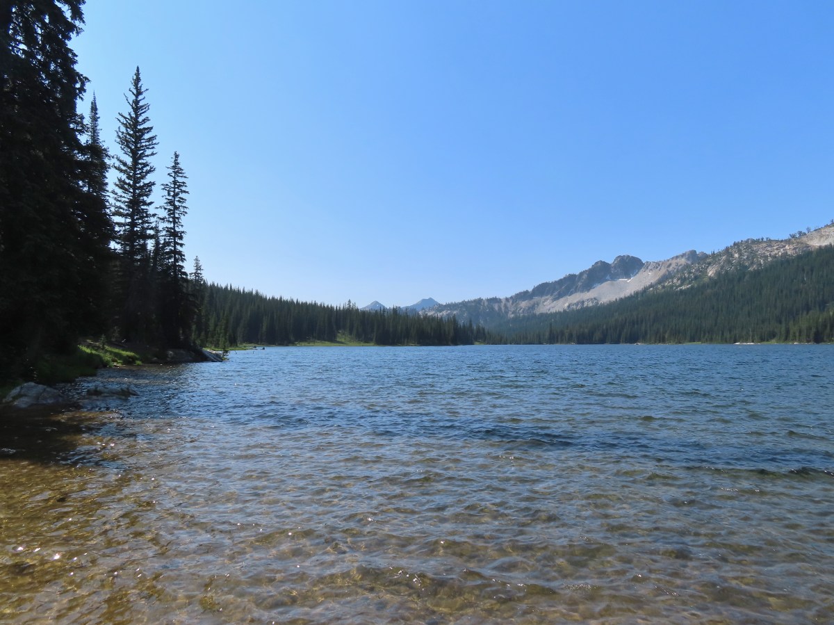
 First view of Minam Lake.

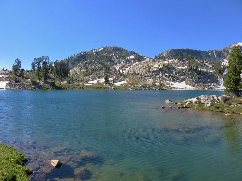
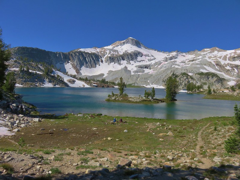
 Minam Lake
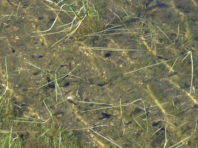
 Common mergansers
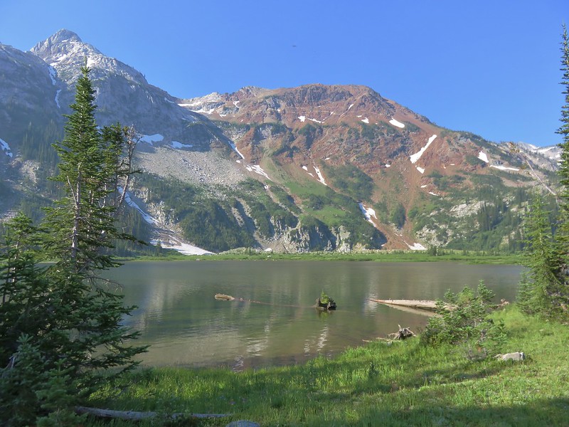
We took a nice break at one of the outlets of the lake then explored a little further along the lake shore before heading back.
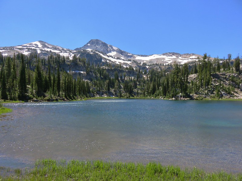
 Needle Point is the peak in the distance to the far left.

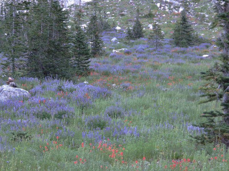
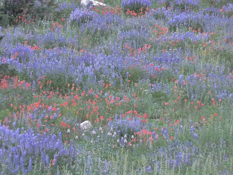
 Shooting stars

 We could have stared at the rocks along the ridges for hours.
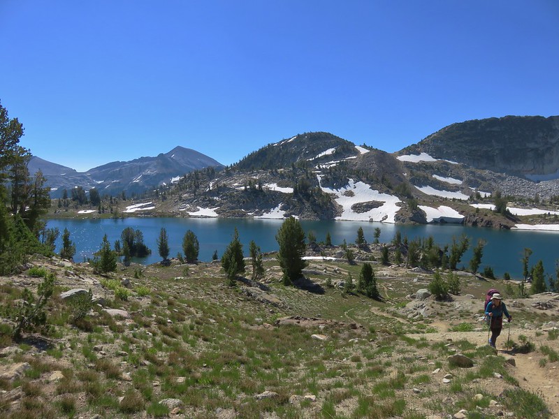
 Heading back.
It was a pleasant hike back as the temperatures were finally reasonable. We did hear a helicopter shortly after leaving the lake which then came into view. It didn’t have a bucket so it wasn’t getting water, but we surmised it was performing a smoke check. We had been on the lookout for any signs of smoldering trees that might have been struck by the lightning but didn’t notice any. We found out a couple of days later that there was indeed a fire burning in the Copper Creek drainage due to a lightning strike Wednesday night. We however remained blissfully ignorant.

 Violet
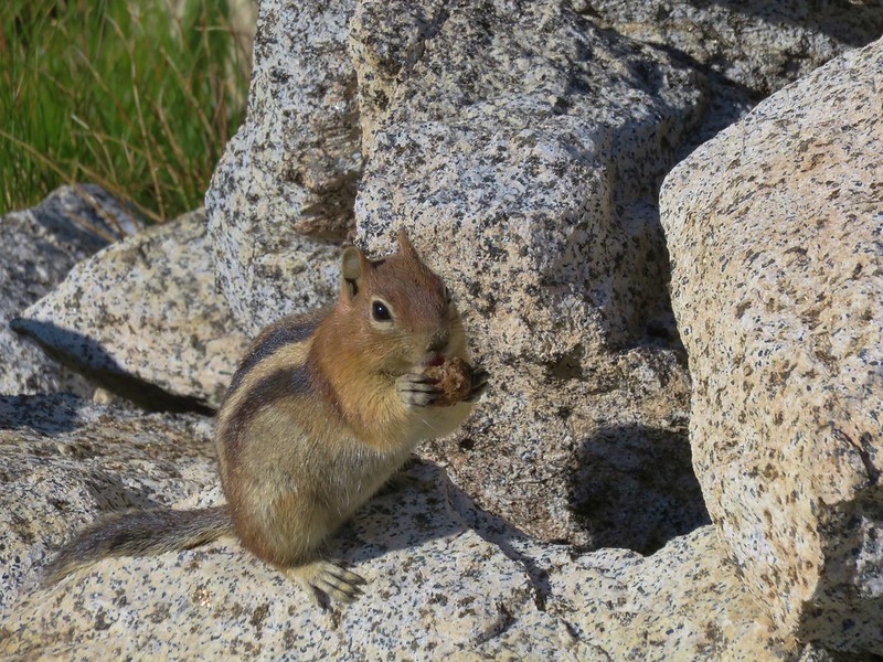
 Groundsquirrel
 Robin
Robin
 Fritillary
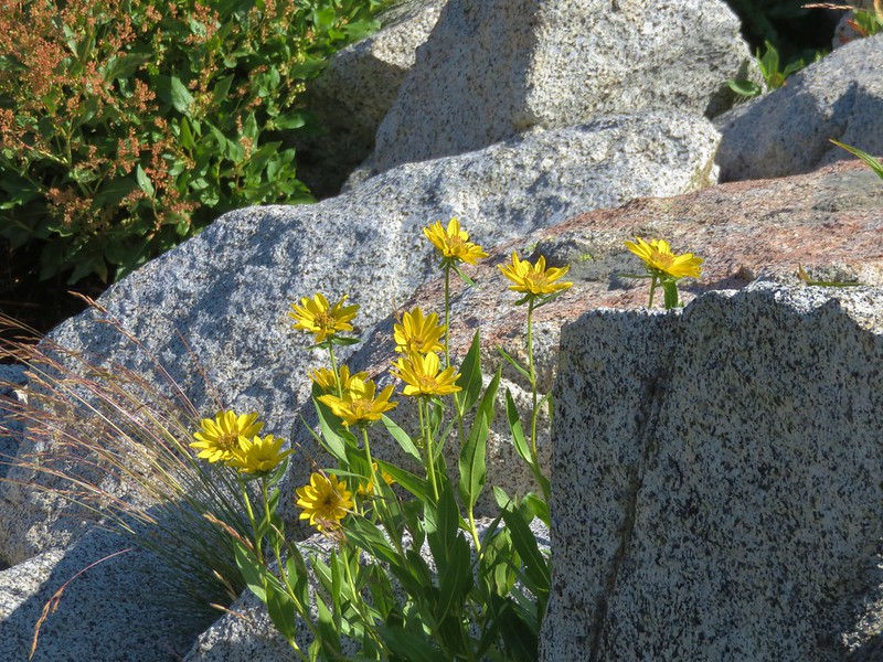
 Orange agoseris

 The fire was burning up in that basin somewhere.

 The talus section in the afternoon.

 Spirea


 Butterflies and moths were out in force.
 Police car moth and another interesting looking pollinator (out of focus).


 Prince’s pine
 Back at the junction with the East Fork Lostine River Trail.
 Left for hikers and right for stock.
Our hike to Minam Lake came to 12.5-miles and approximately 1800′ of elevation gain.

We left the busy Two Pan Trailhead and drove back to Enterprise for one more night. We had purchased tickets for the Wallowa Lake Tramway for Friday which we needed to ride up Mount Howard in order to do the final hike of the trip. The good news was that Friday was going to be the coolest day of the week with improved visibility.
As of 7/28/24 the Elk Horn Fire is just 1.8 acres so hopefully it will remain a small one. There were several other fires sparked by the lighting as well with the Big Canyon Fire being the most likely to grow significantly. It’s already been an ugly year for fires, and we just pray that we get some relief soon. Happy Trails!
Flickr: Minam Lake