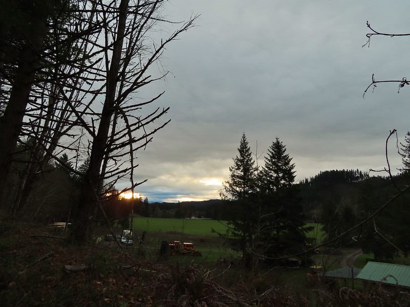
A combination of a busy December both at work and home and uncooperative weather left us with one final day to get our December hike in before the holiday weekend. Short of an ice storm we planned on hiking somewhere but the exact hike would depend on the weather forecast. As we got closer to the day, rain was the consensus everywhere within our day hiking radius. I looked through the hikes we hadn’t done yet for options for this time of year where a day of rain would have least impact on the hike. After coming up with a couple of possibilities, each a different direction from Salem a I looked again at the forecast for each area to see if any looked better than the others. The Row River Trail just East of Cottage Grove was the clear winner with just a chance of showers in the morning increasing to rain as the day went on.
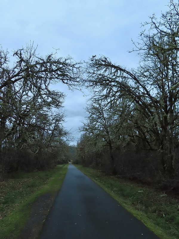
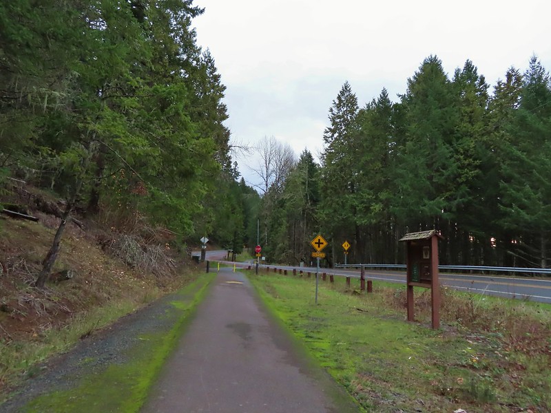
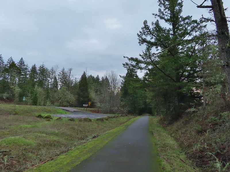
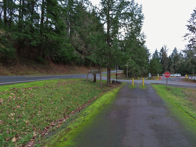
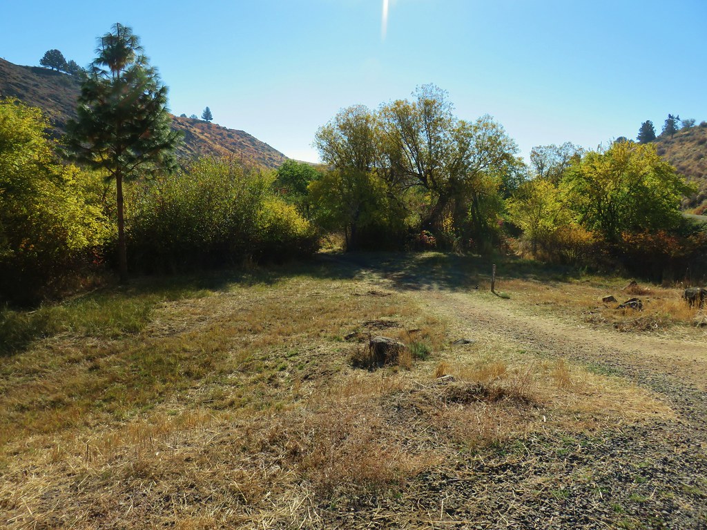
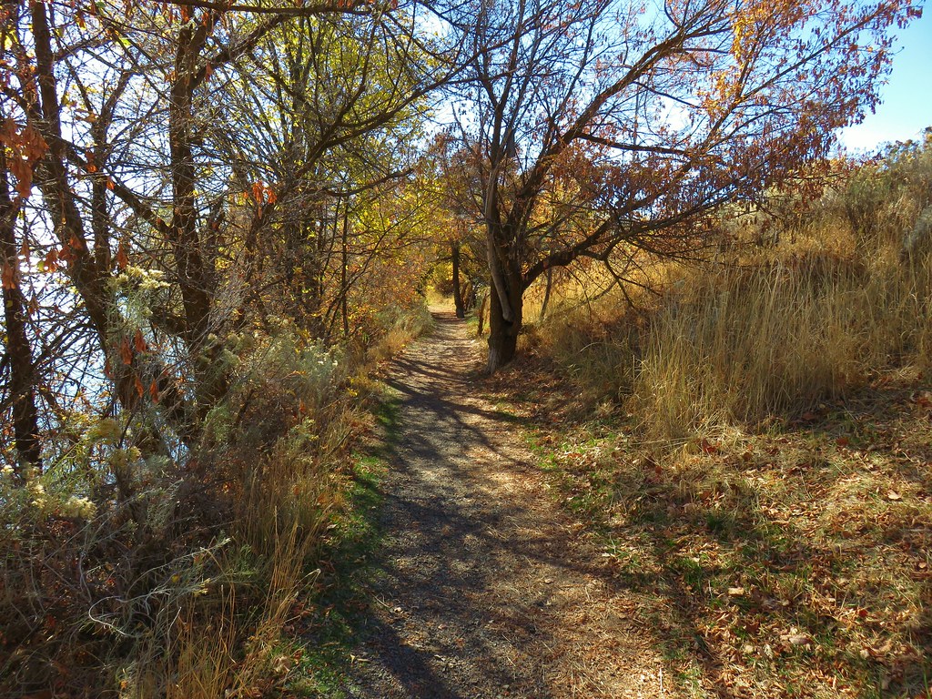
A converted rail road, the Row River Trail is a 14 mile long paved National Recreation Trail. We hiked a portion of the trail last June during a multi-stop day (post). On that day we started at Bake Stewart Park which is on the eastern side of Dorena Lake and hiked west to Rat Creek which is just beyond Harms Park. Our plan for this outing was to park on the other side of Dorena Lake at the Mosby Creek Trailhead and hike east to Harms Park. It was overcast but not raining when we pulled into the trailhead parking area.

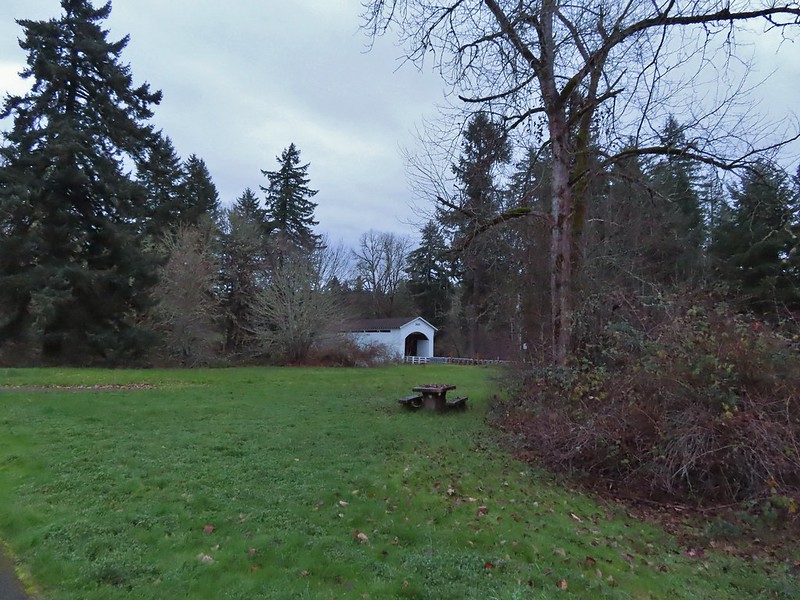
The trail begins in Cottage Grove approximately 3 miles to the west of this trailhead it passes through town then closely follows Mosby Creek Road to the trailhead. While the trail beyond Mosby Creek crosses several roads and follows Row River Road around Dorena Lake it is more scenic than the first 3 miles would have been. Starting at the Mosby Creek Trailhead also offers the chance to make a quick 50 yard detour to the 1920 Mosby Creek Covered Bridge which was restored in 1990 and is still in use.

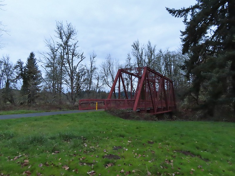
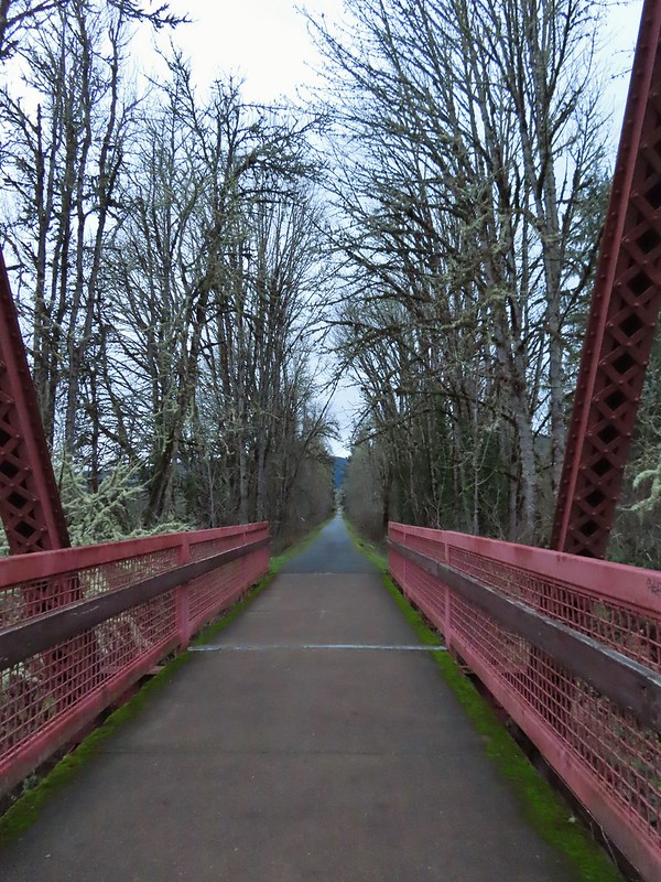
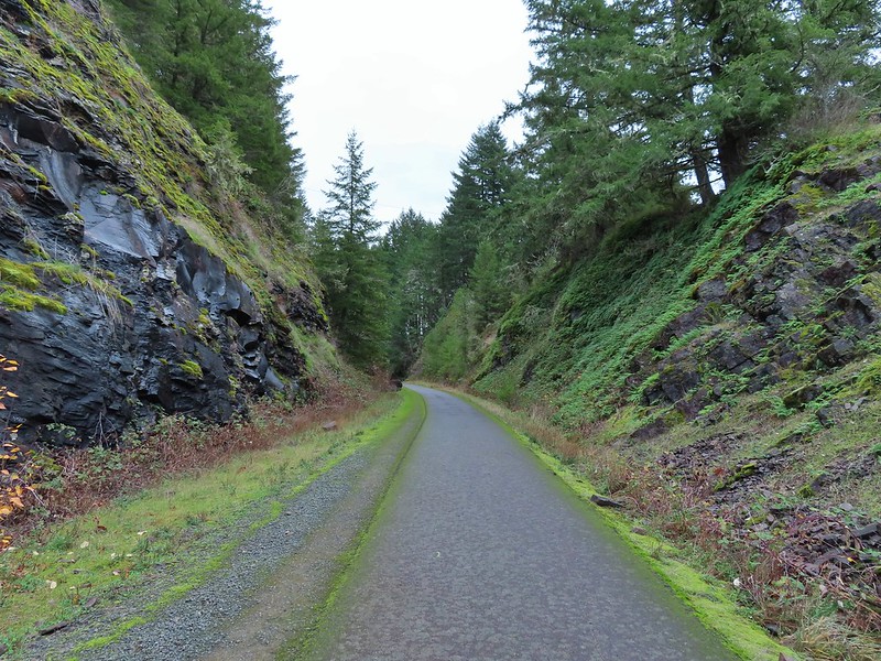
The Row River Trail crosses Mosby Creek on a nearby trestle bridge.
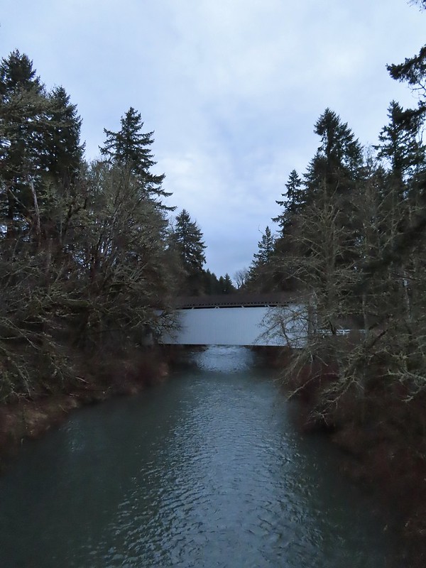
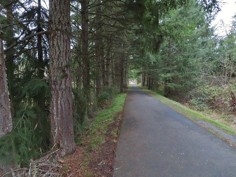
The trail is basically as straight as an arrow for 1.3 miles from the Mosby Creek bridge to a second bridge over the Row River. The scenery along this stretch is farmland and trees.

 Ivy disguising itself as a tree.
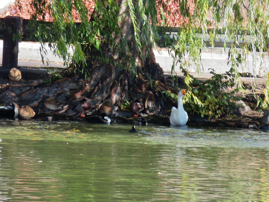
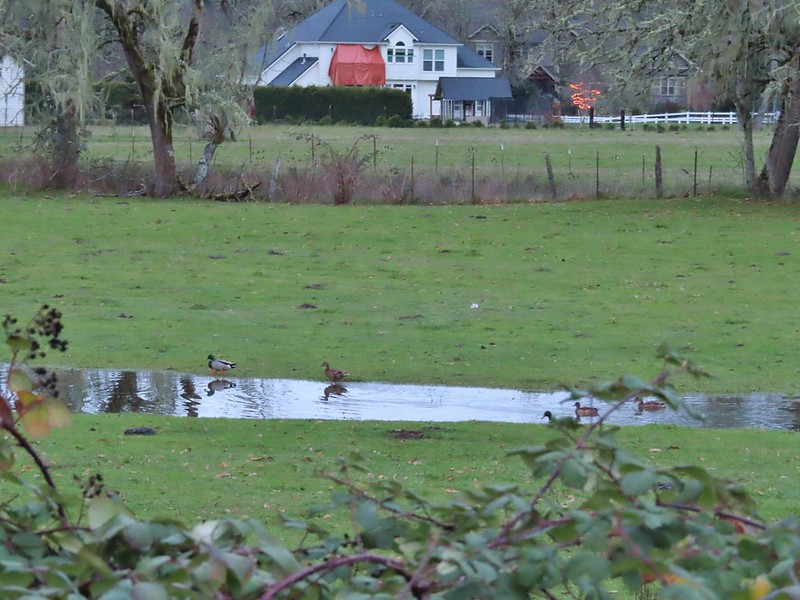 Mallards and Christmas lights.
 Layng Road crossing. The lights on the signs were activated when sensors picked up something approaching.


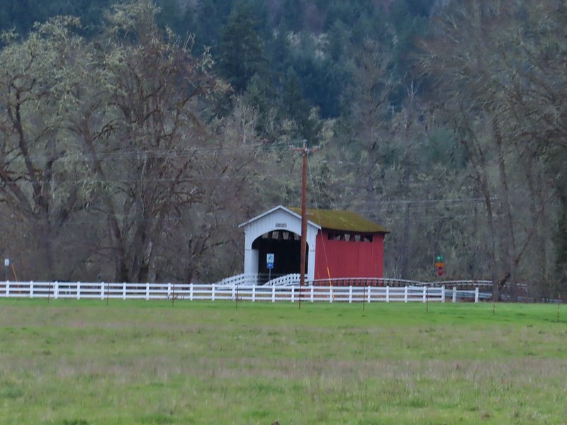 Currin Covered Bridge on Layng Road.
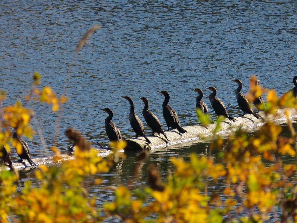
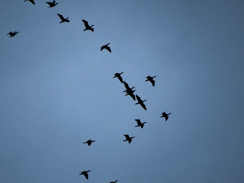 Cormorants flying overhead.
 Approaching the bridge over the Row River.
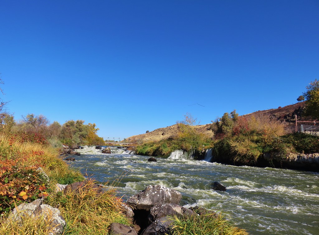
 Row River
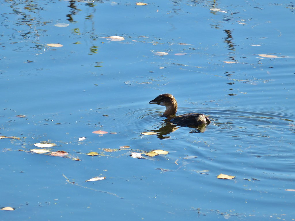
 Lesser scaup. I would have liked a better picture but it was still early and not very light and the little guy was a ways away on the river.
A short distance beyond the river we passed under Row River Road.

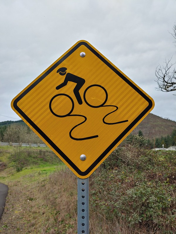 This was a new sign to us.
Shortly after passing under Row River Road the trail began a small climb above some farms as it made a sweeping curve to the right.
 Row River Road with some snowy hillsides in the distance.
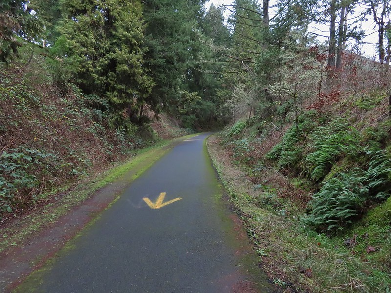 Arrows and other yellow markings identified bumps and holes in the trail for equestrian and bike users.
 Jelly fungus
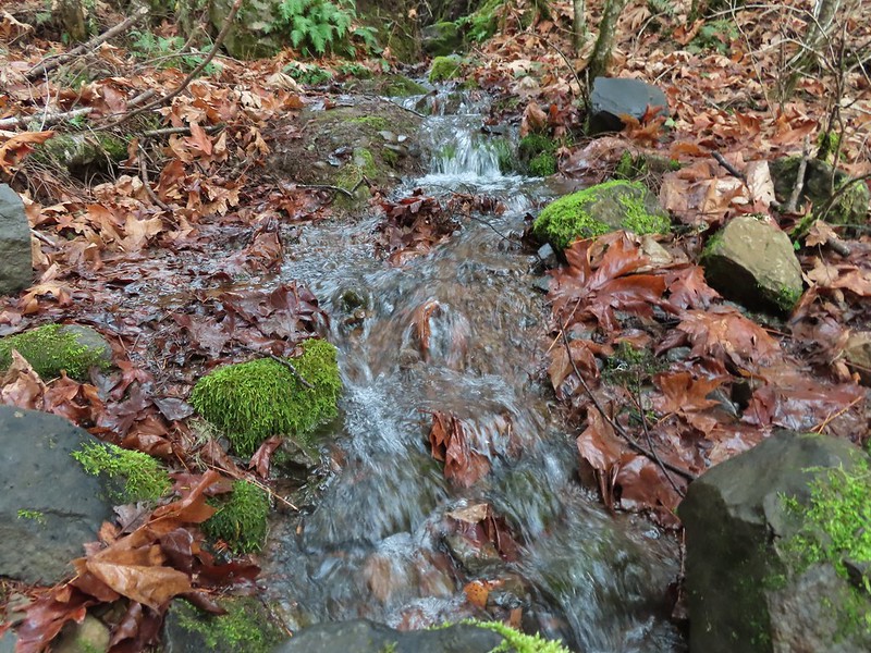
 Hamblen Creek
 Turkeys in a field.
 Sign along a private driveway.
 Not very many mushrooms but these were good sized.
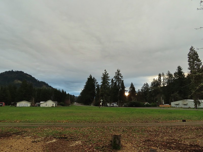
The trail crossed Row River Road again as it passed along the shoulder of Cerro Gordo, a 2112′ butte.
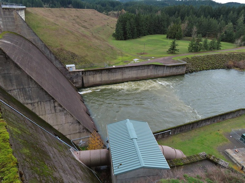
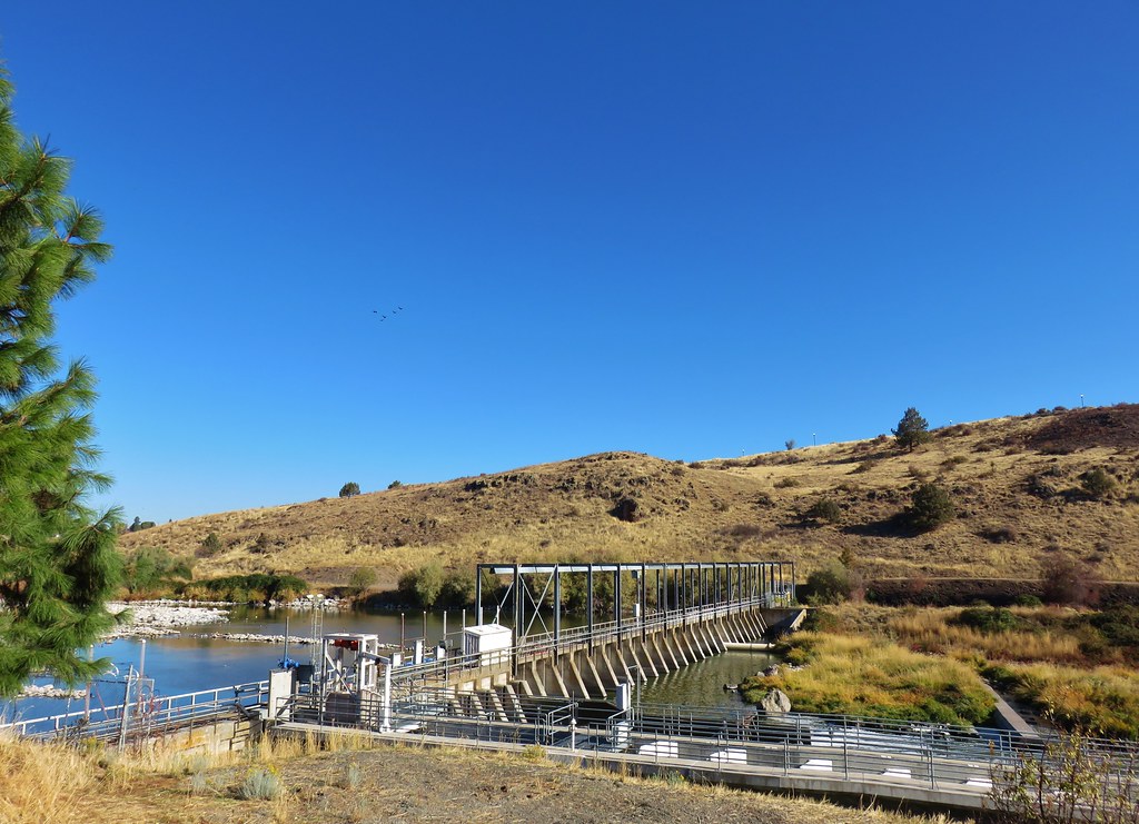
From the road crossing We descended slightly passing the unmarked site where the campfire scene was filmed for the 1986 movie Stand By Me before arriving at the Dorena Lake Dam.

 Do squirrels jog?
 Madrone along the trail.
 Row River Road was overhead to the left along this rocky section.

 Nearing a bench along the trail facing Dorena Lake Dam.

 Interpretive sign near the bench.

A short distance beyond the bench we took a short detour down to the reservoir.

 Snow in the Calapooya Mountains.

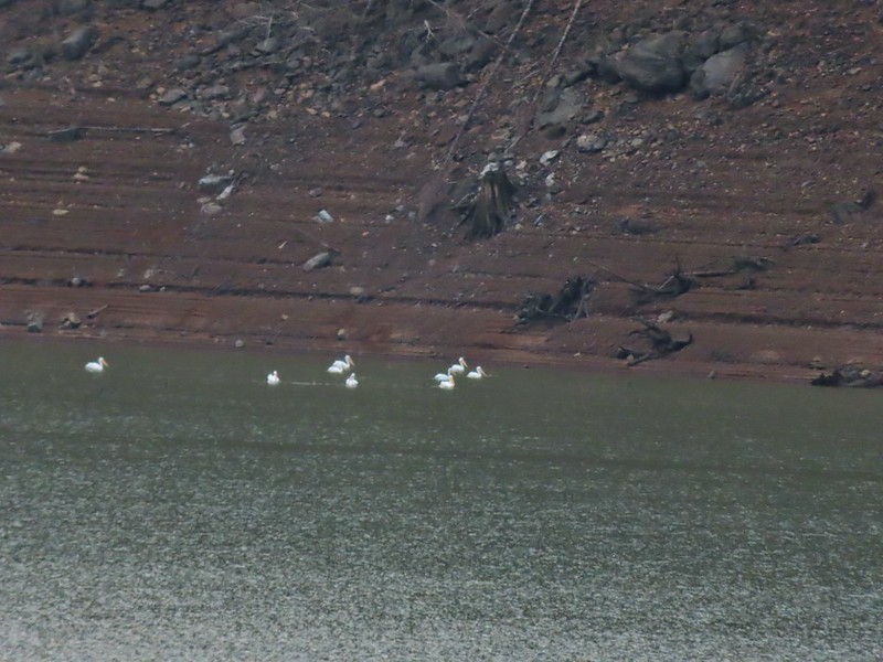 White pelicans on the other side of Dorena Lake.
We returned to the Row River Trail and continued another half a mile to a small parking area at Row Point where we again detoured to the reservoir.
 Still no rain despite the clouds.
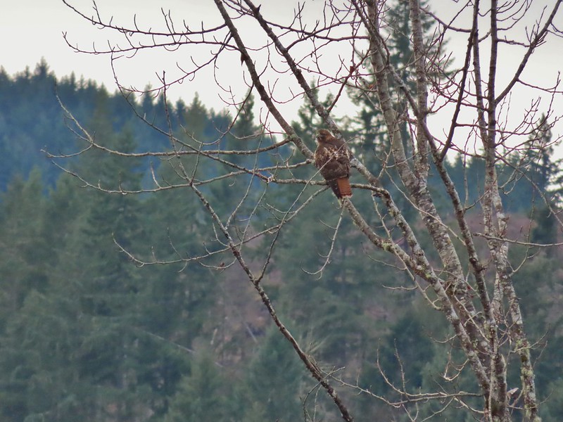 Red-tailed hawk


 A kingfisher and a great blue heron.
 Pelicans and other waterfowl on the move.
 Cerro Gordo from Row Point.
After visiting Row Point we continued east on the trail for another 1.3 miles before arriving at the Rat Creek Bridge which had been our turn around point on our previous hike.
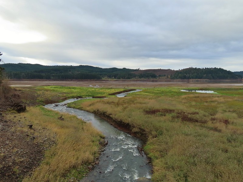
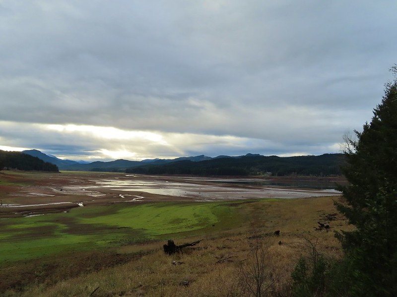 Not much water at all in the eastern end of the reservoir.
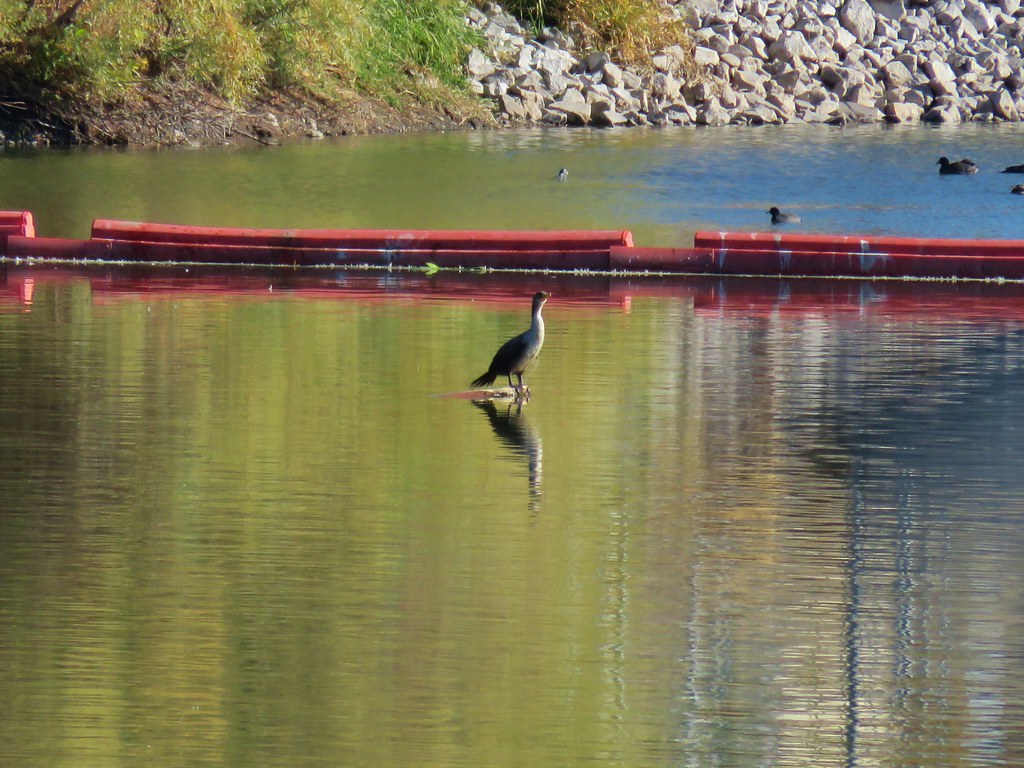
 A great blue heron on the far left with a bunch of white pelicans and cormorants.
 Actual sunlight hitting the dam.

 Spotted towhee
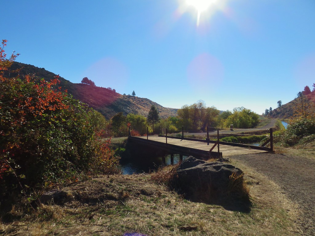
 Rat Creek Bridge
 Rat Creek
It was a very different view from the bridge versus last time.
 June 2020 from the Rat Creek Bridge.
We continued the short distance into Harms Park to use the facilities and take a short break at a picnic table and then started back.

 Gold tree in front of Cerro Gordo.
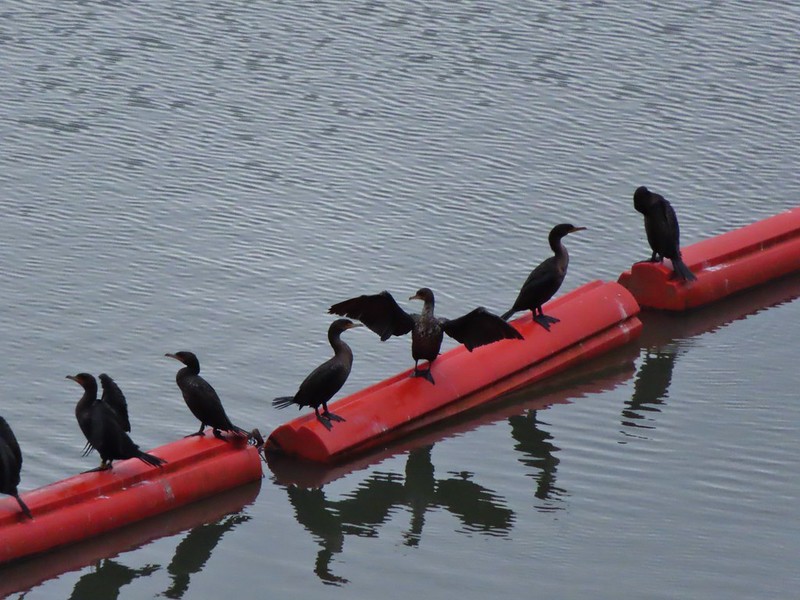
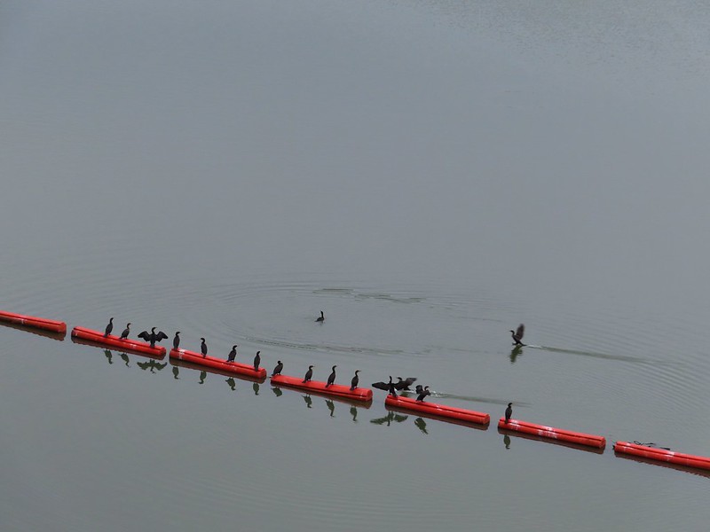
When we were nearing the dam again we could see a number of cormorants lining the boom.
I decided to detour over to the dam itself to check out the view.
 The little hill to the left provides access to the north end of the dam.


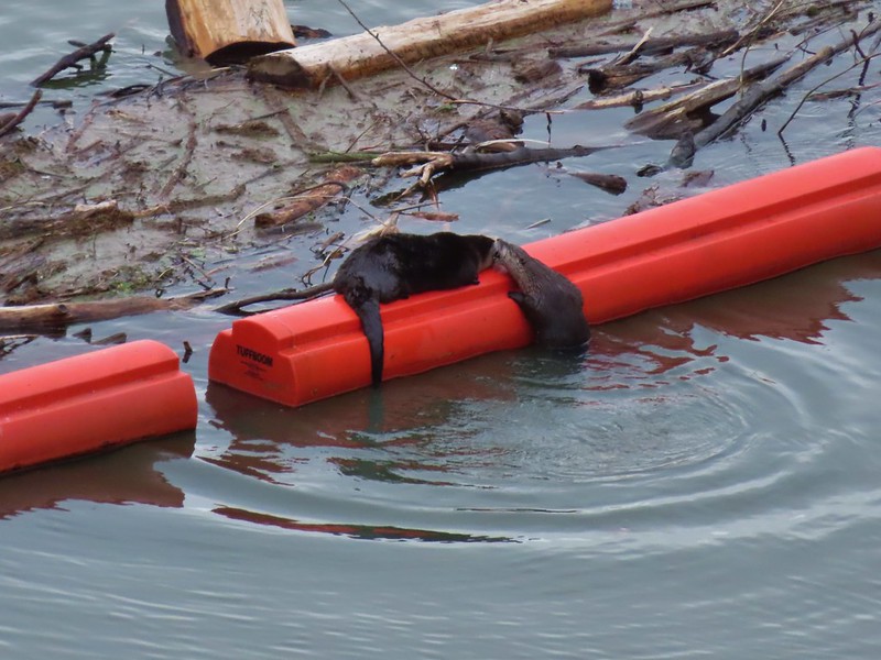
Heather had semi-reluctantly followed me but as it turned out we were both very happy we’d made the short side trip. Along with the group of cormorants making use of the boom were 4 river otters.

 Just drying out.

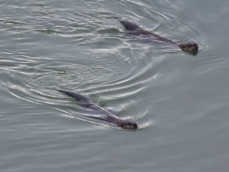
 Trying to play.
 No luck.
After not having seen any otters during our hikes prior to 2021 this was now the 4th time we’d seen one but the first where we were able to watch them for any extended period. It elevated what had already been a good hike into the great category. After watching the otters for awhile we headed back to the Mosby Creek Trailhead keeping our eyes open for other wildlife along the way.

 Rabbit
 American wigeons
 Nature slowly reclaiming an old farm truck.
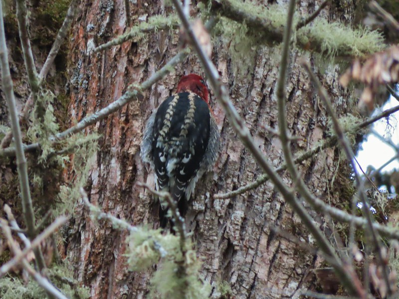 Red breasted sap sucker.
 Mosby Creek
The hike came in a 12.4 miles after all of the little side trips with only about 150′ of elevation gain.

There are numerous possible starting/turnaround points which make it possible to break the trial up into several smaller sections and we passed a few people doing just that with their dogs/children. The rain showers never materialized making it a much more pleasant day than we’d expected to have and the variety of wildlife, especially the otters, was a great way to finish off our 2021 hikes. Happy Trails and Merry Christmas!


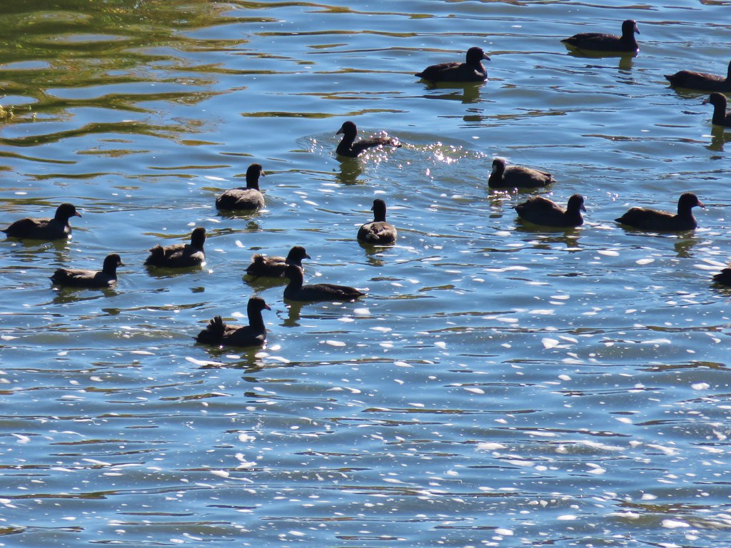 Coots
Coots Scrub jay
 White pelican, coots, and a cormorant
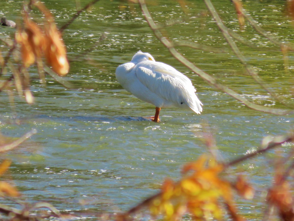 White pelican
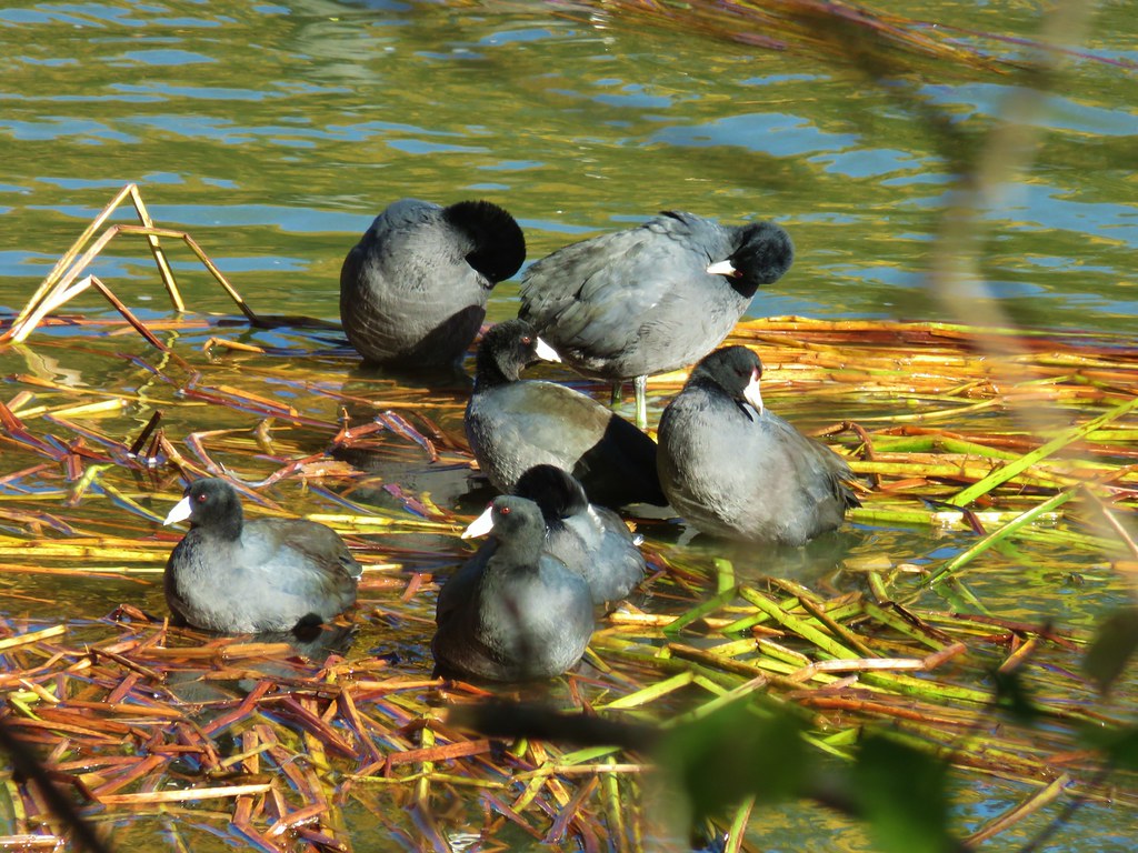 Coots
Coots


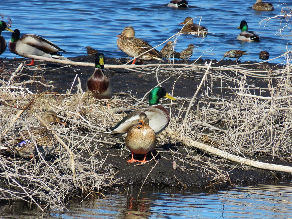 Mallards and other birds
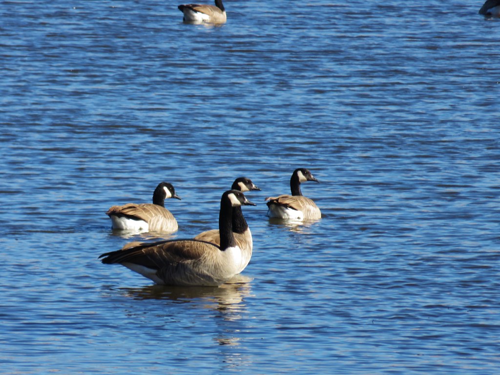 Canada geese
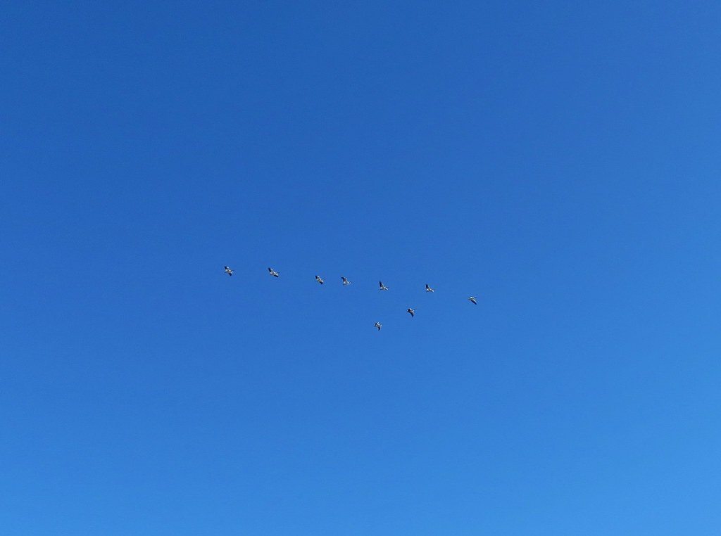 Pelicans in flight
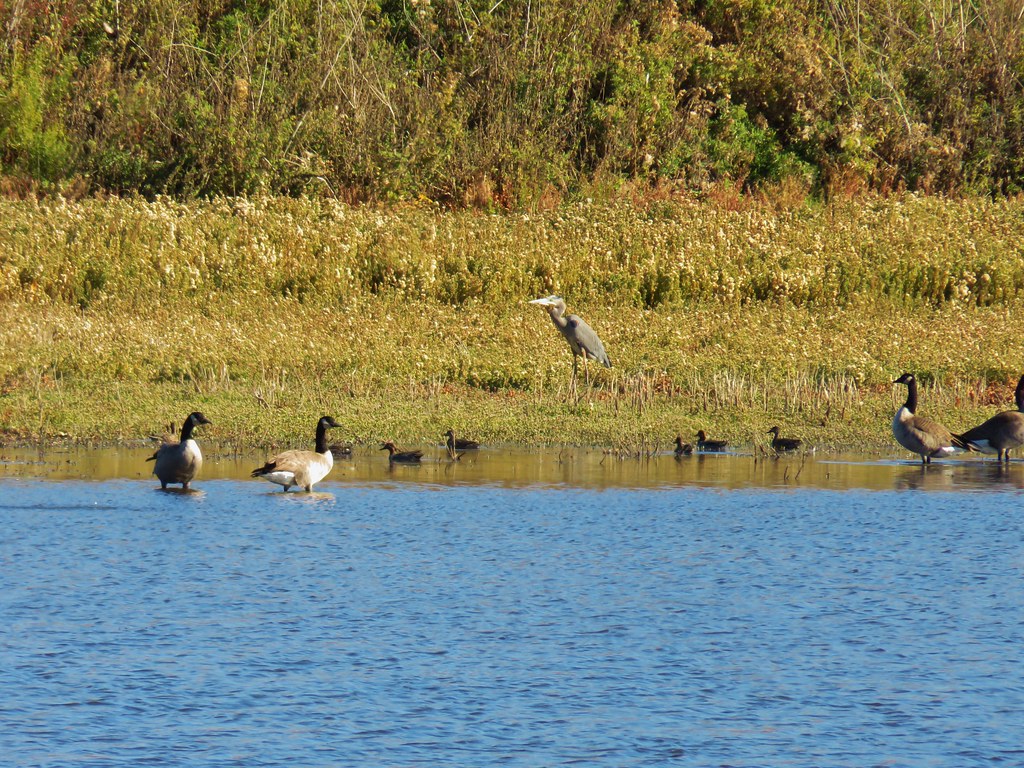 Great blue heron among others
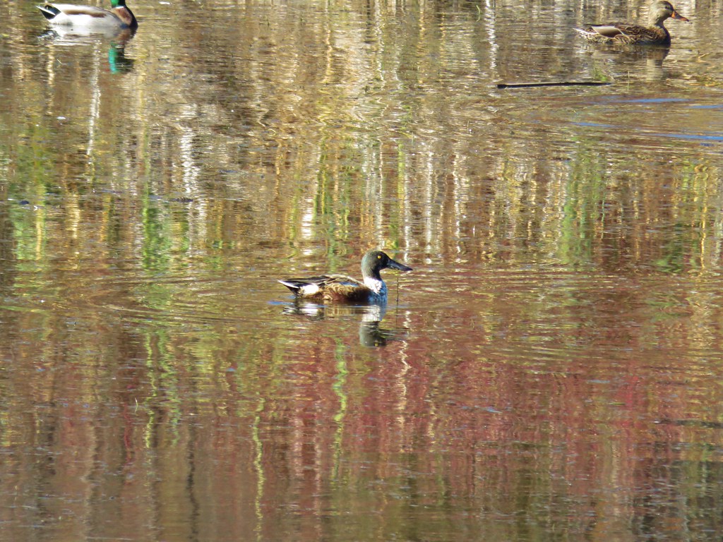 Northern shoveler
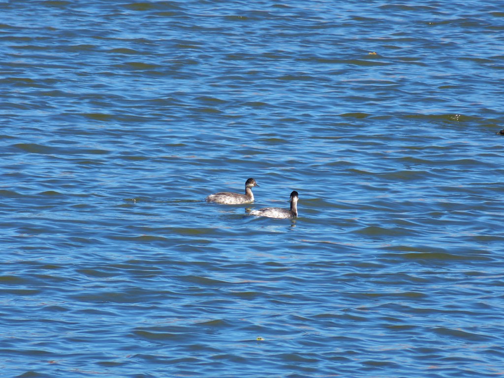 Horned grebes
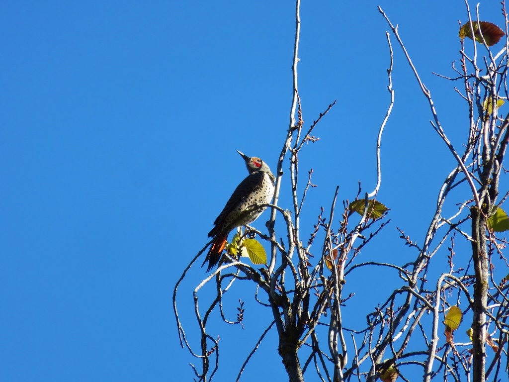 Northern flicker
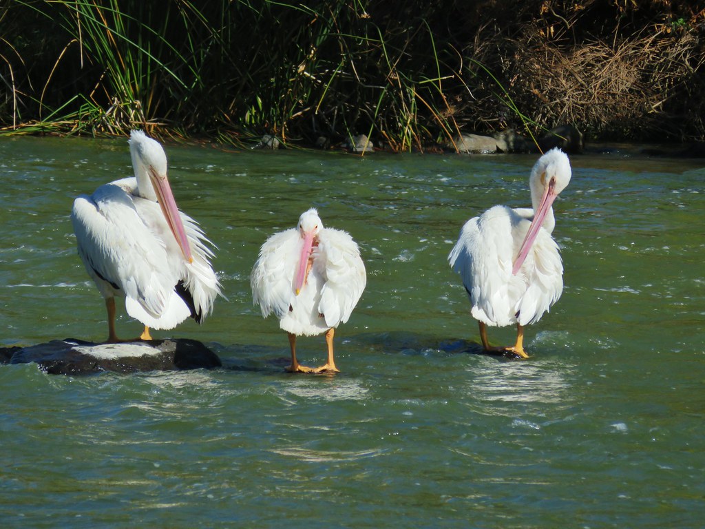 More pelicans
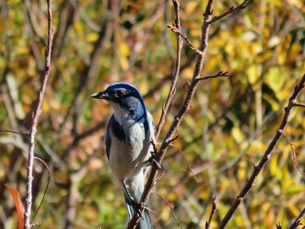 Another jay
 Great blue heron on the rocks
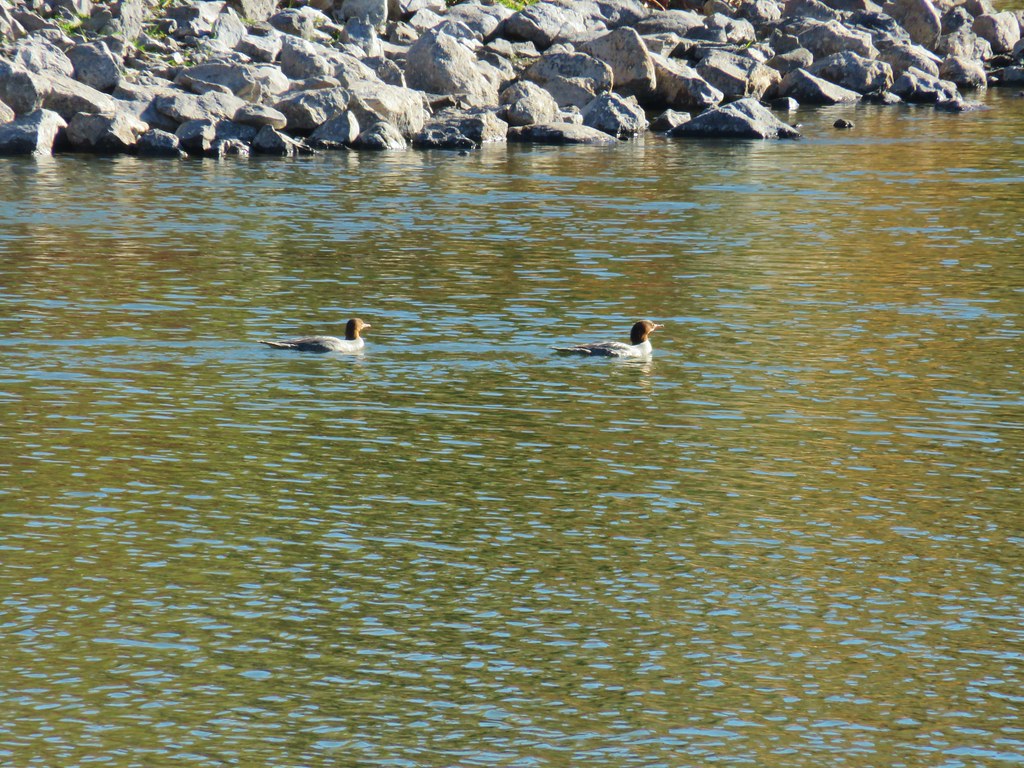
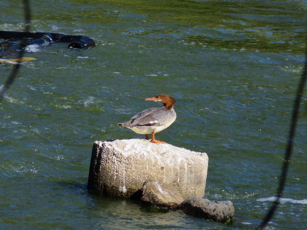 Common merganser
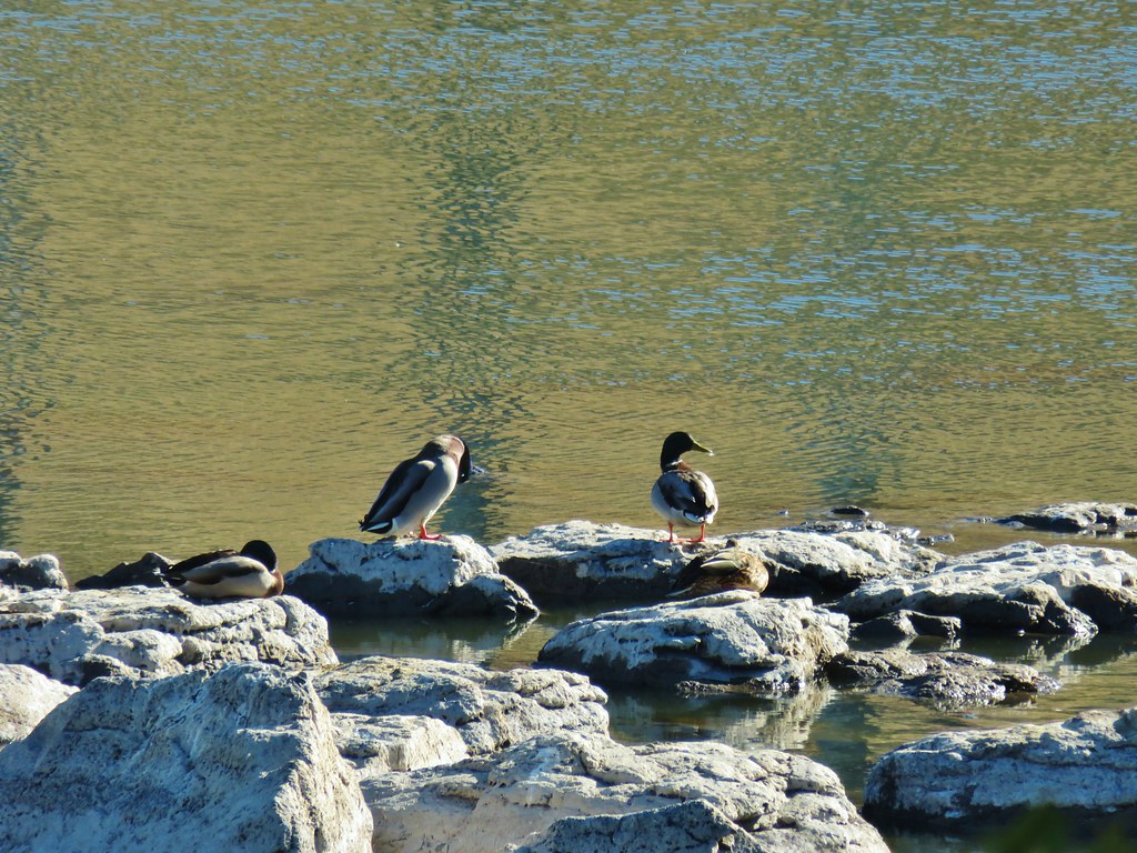
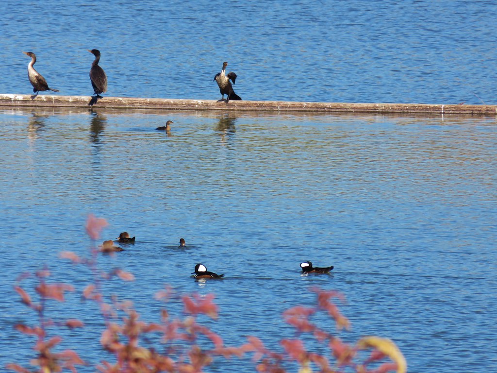 Hooded mergansers (in the foreground)
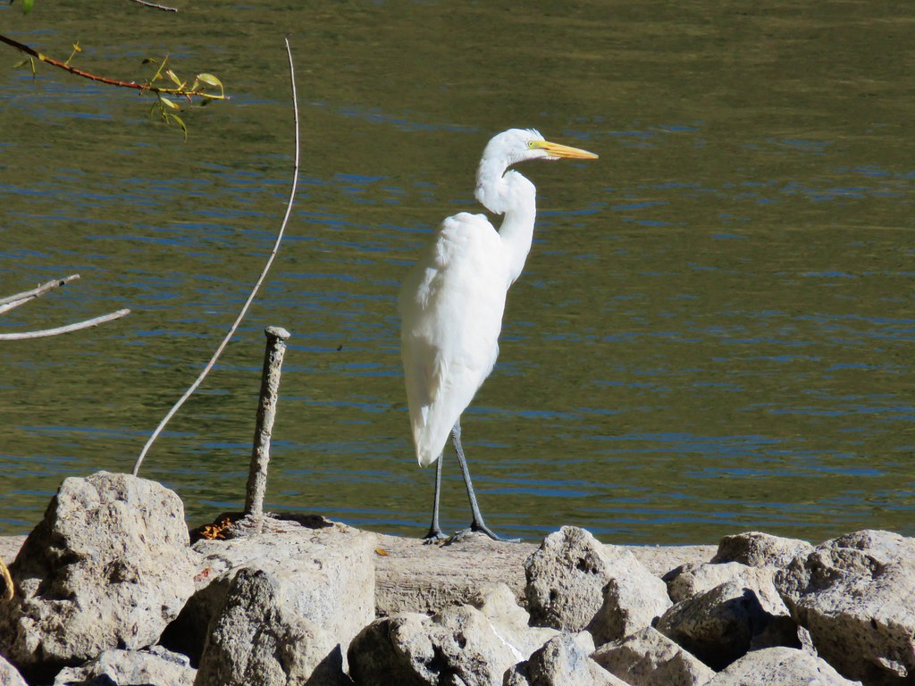 Egret
Egret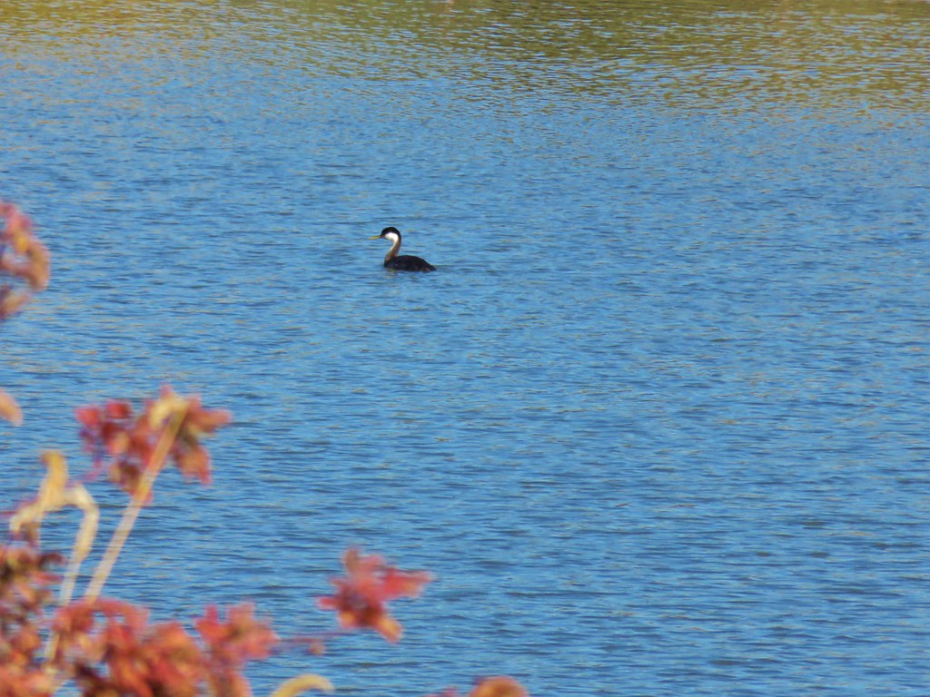 Western grebe