When I put together our hiking schedule for the year one of the most anticipated trips was our first visit to the Eagle Cap Wilderness in North Eastern Oregon. At 355,846 acres it is the largest wilderness area in Oregon and contains 31 peaks whose summits are over 8000′. A variety of wildlife is also present including wolves. Our plan was to visit during the first week of August hoping it would be early enough to see some good flowers but late enough to avoid the worst of the mosquitoes and not have issues with lingering snow. Leading up to our trip we watched the weather and fire reports making sure everything looked clear and thanks to some timely trip reports on Oregonhikers.org we knew that snow wasn’t going to be an issue.
With everything checking out we left home on July 31st and began the 6+ hour drive to the Wallowa Lake Trailhead. Our first little hiccup came as we were driving along I84 and learned that a fire had started overnight closing the interstate just beyond Pendleton, OR. We were forced to detour through the Umatilla National Forest which added a little time to our drive. Luckily we had left the house early and it was just after 11am when we finally arrived at the trailhead.
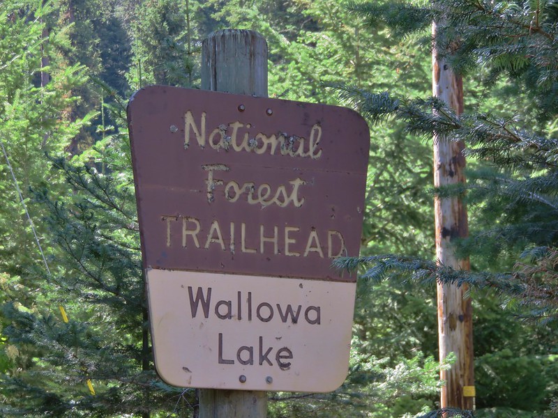
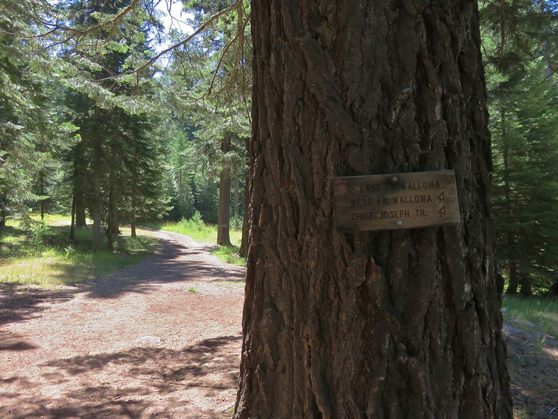
The trailhead is located at the end of Wallowa Lake State Park and the area is a very popular recreation area which was evident by the number of people. We strapped on our packs and followed signs for the West Fork Wallowa Trail and Ice Lake.
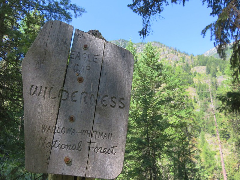
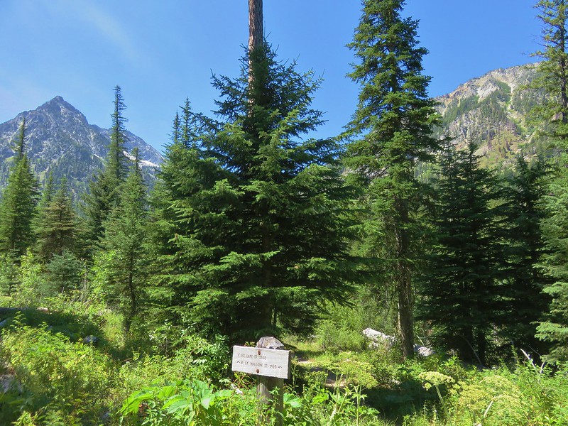
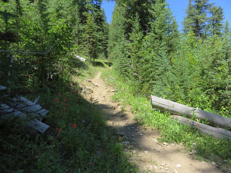
It wasn’t long before we entered the wilderness.
The trail followed the West Fork Wallowa River up a valley with occasional views.

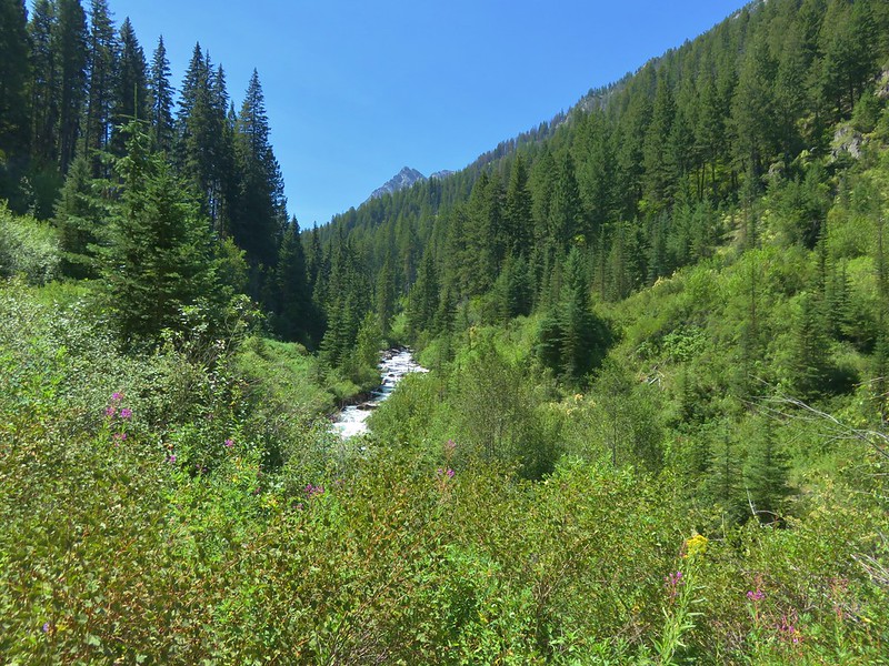
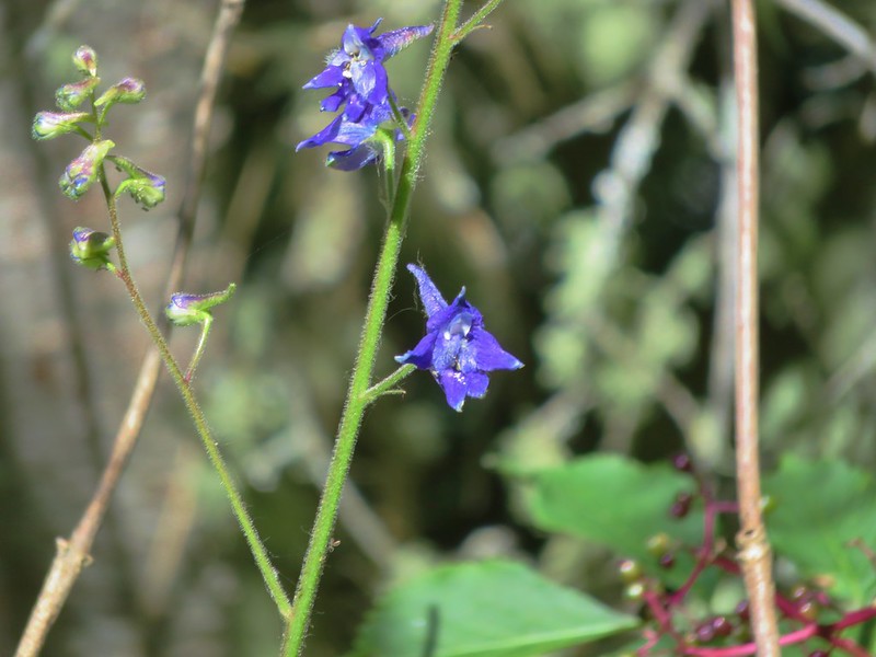
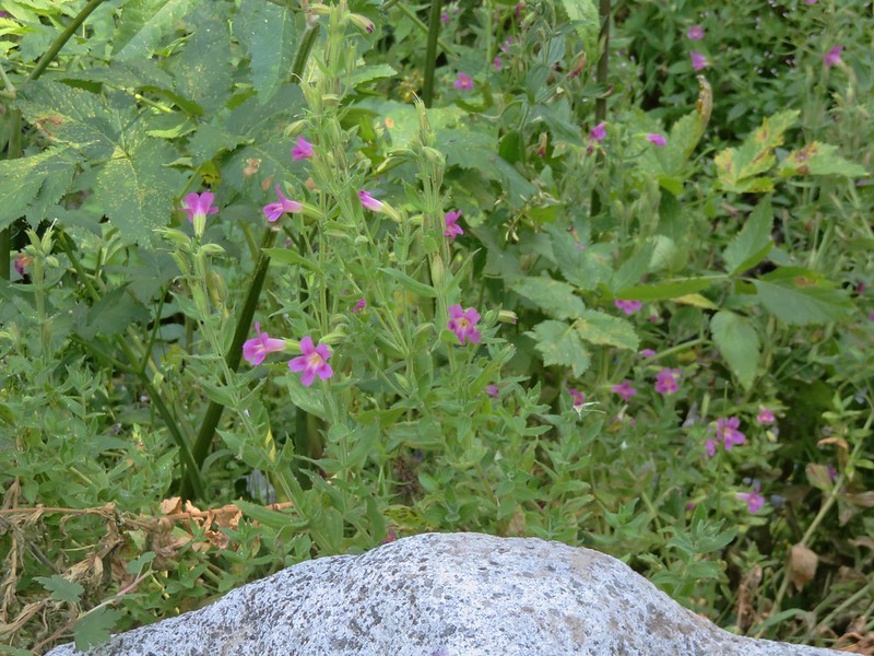
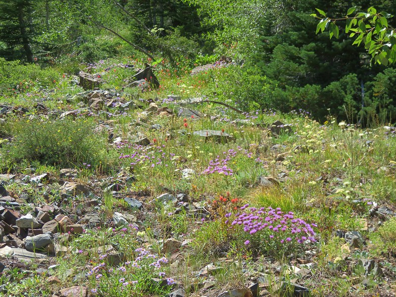
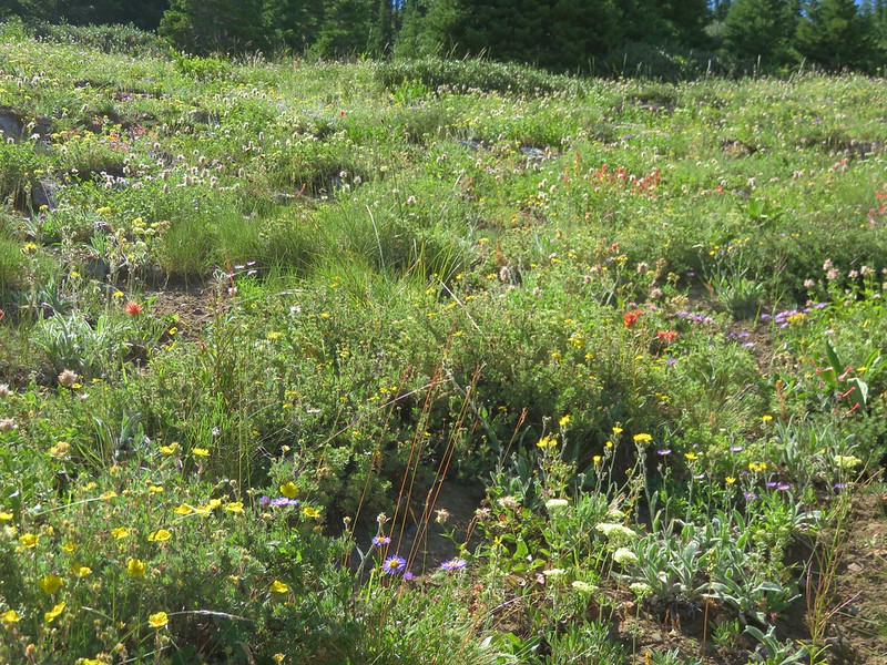
The wildflowers were starting to fade at the lower elevations but there were still some blooming along the way.

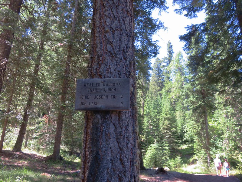
After 2.8 miles we arrived at the junction with the Ice Lake Trail.
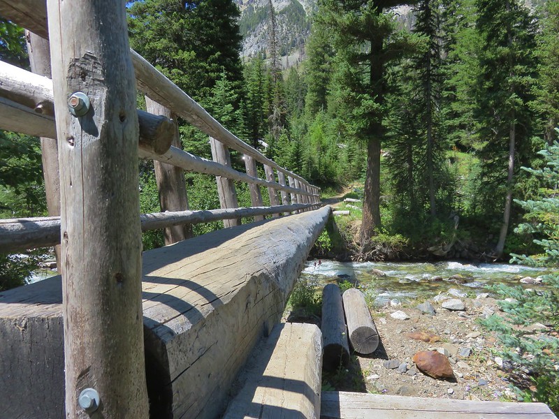
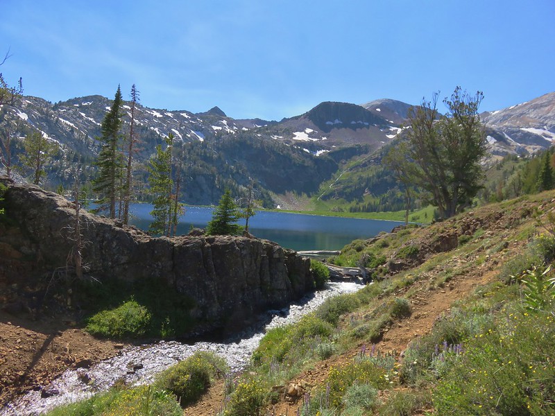
This trail led down to a crossing of the West Fork Wallowa River.
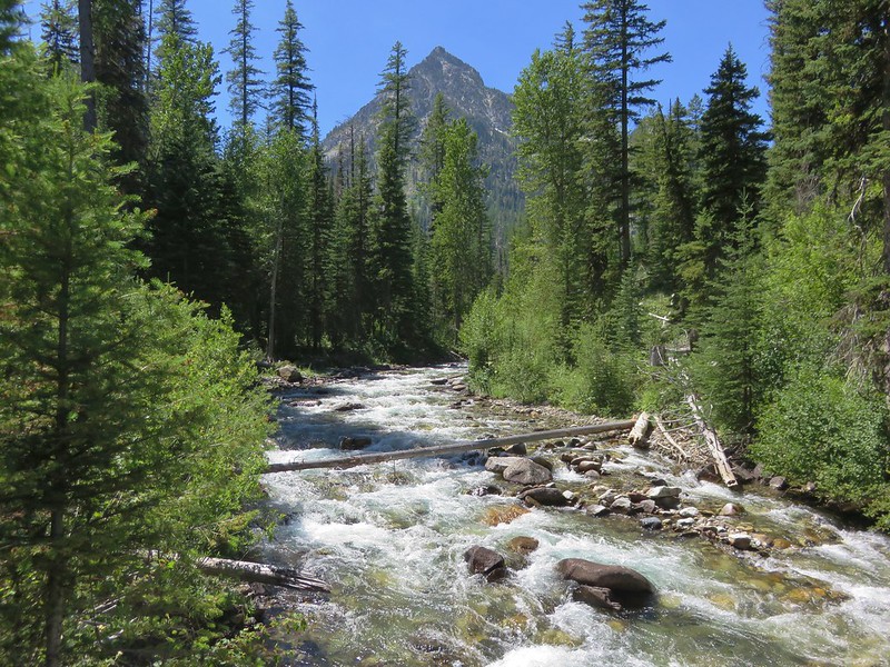
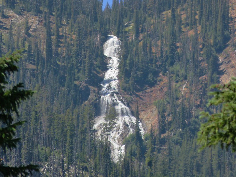
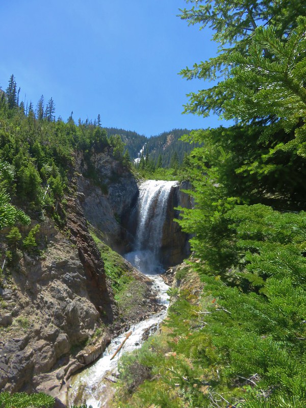
From this area we could see the monstrous Ice Falls on Adam Creek which flowed from Ice Lake over 4.5 miles and 2000′ away.
On the far side of the river we began the long climb up to Ice Lake.
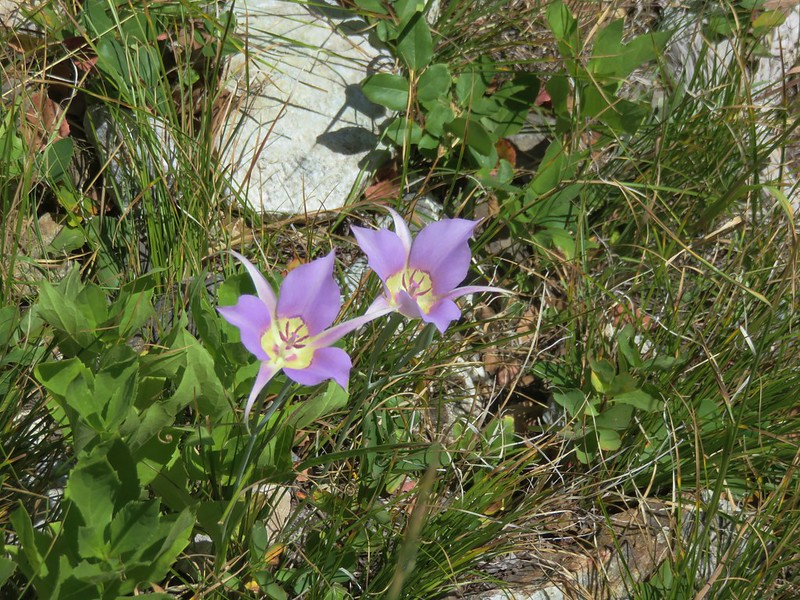
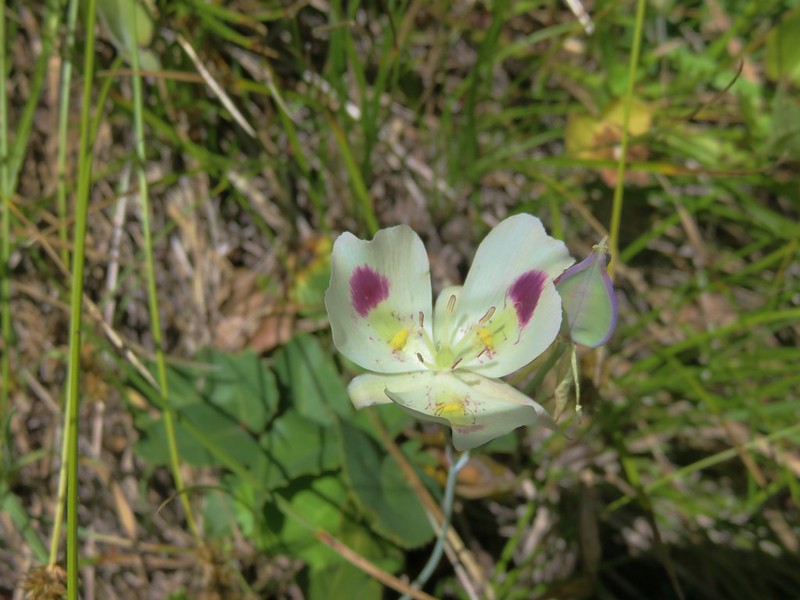
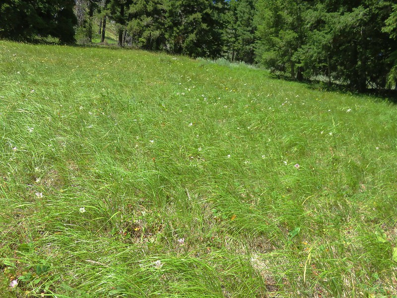
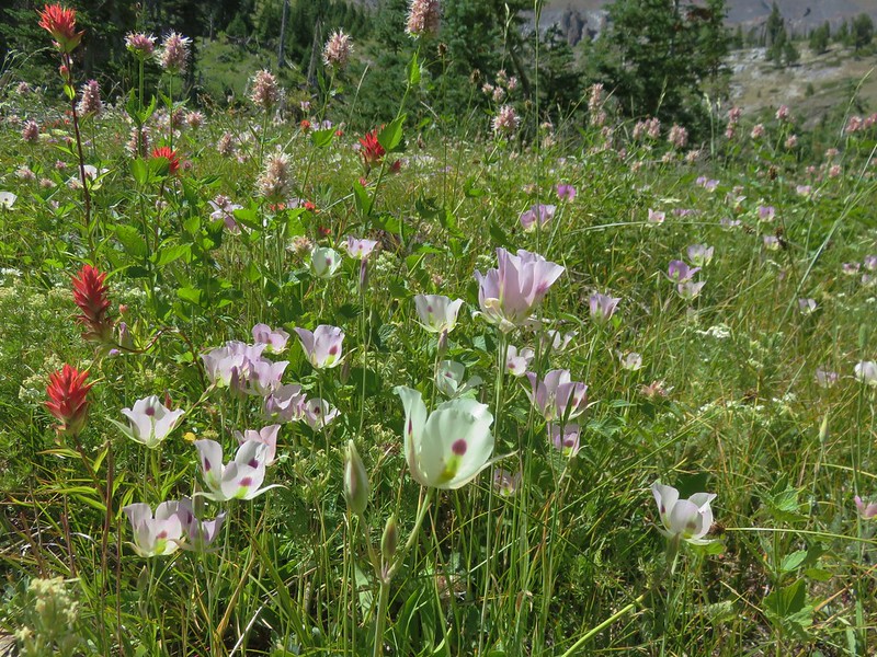
The lower section of trail passed through grassy meadows filled with two types of mariposa lilies.
Sagebrush mariposa lily

White mariposa lily
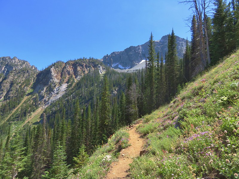
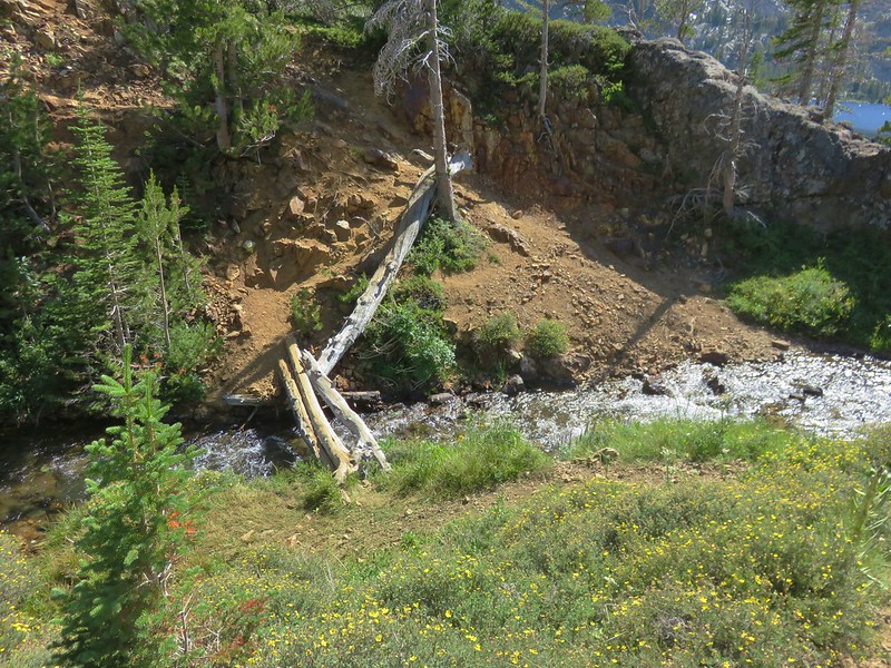
The trail then passed through a section of rock fields before reaching Adam Creek.
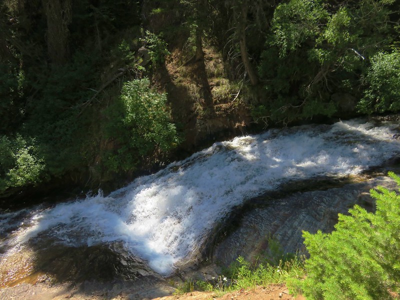
The climbing really started here as the trail began a series of switchbacks along the creek. After 14 of them we came to Beauty Falls.

Ice Falls was visibly beyond Beauty Falls.
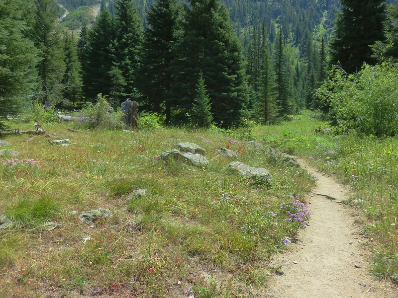
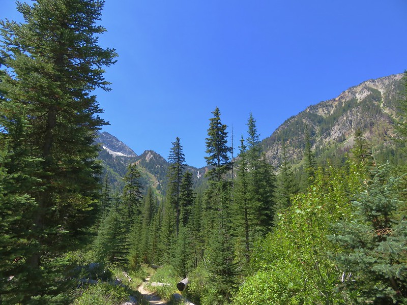
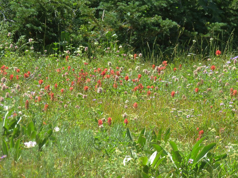
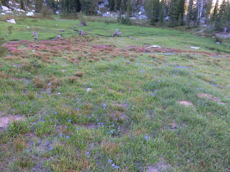
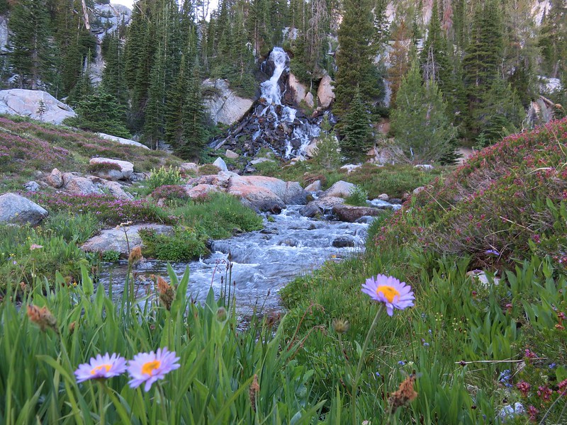
The trail straightened out as it passed through another series of meadows where the wildflowers were blooming nicely.
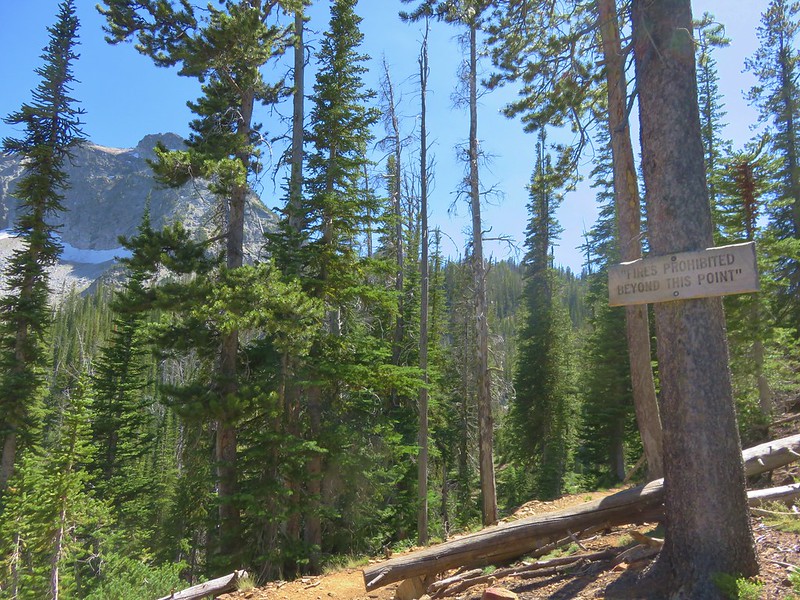
Beyond these meadows another dozen switchbacks stood between us and our goal. Although the temperature wasn’t all that high the combination of the climb and being in the sun made it seem hot. It was slow going but we knew we were getting close when we passed the sign announcing that fires were prohibited beyond that point which meant we were about a quarter mile away.
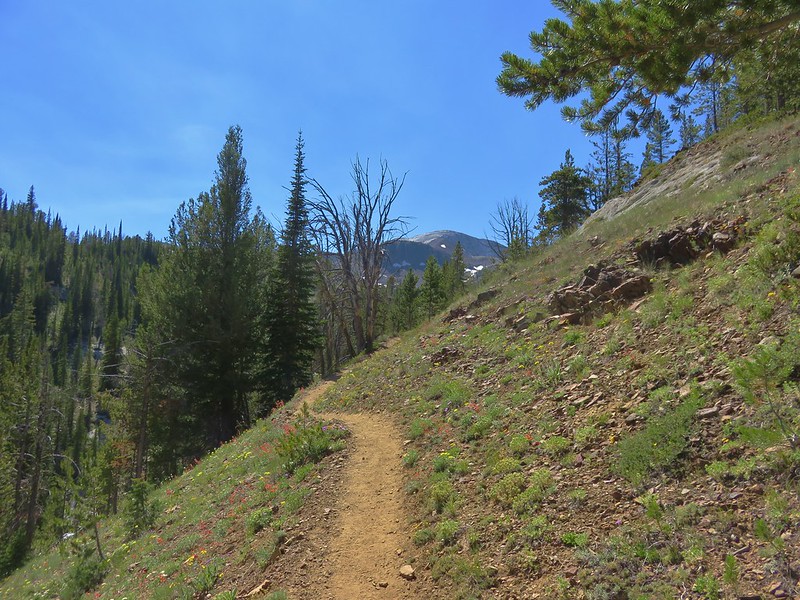
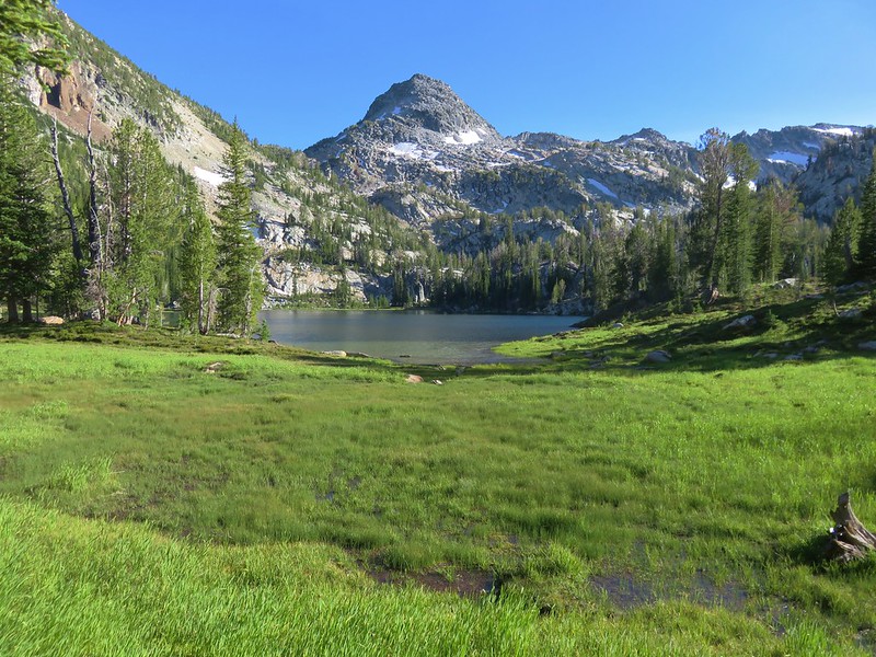
As we came around a bend we got our first view of the marble rock of the Matterhorn in the distance.
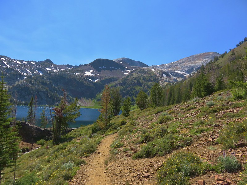
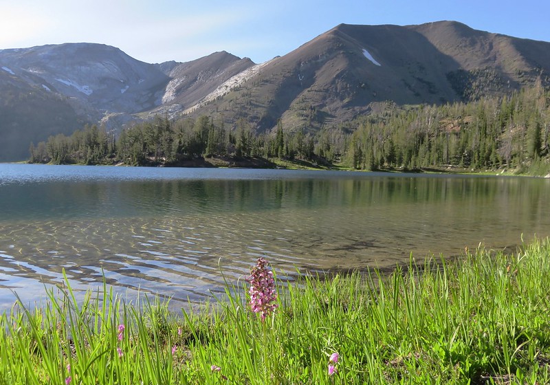
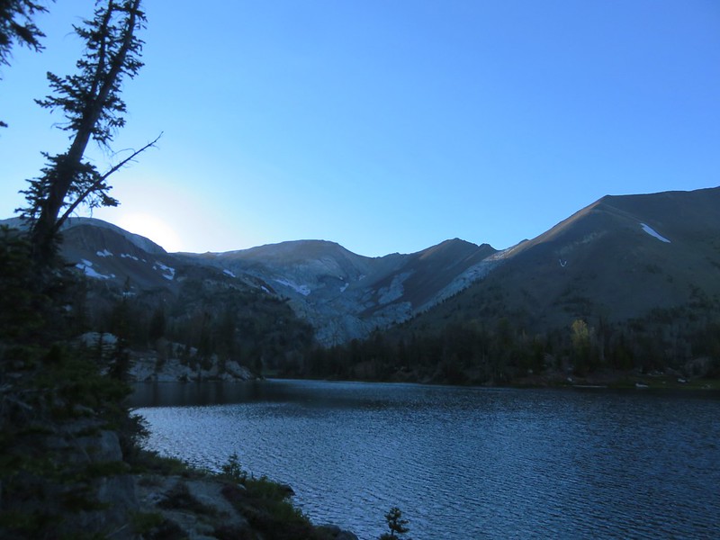
It wasn’t much further before the blue water of Ice Lake became visible.
We’d read that most of the campsites were located on the SE side of the lake so we crossed Adam Creek and began searching for a spot.
In addition to the ban on fires camping is prohibited less than 100′ from the lake or streams. It was immediately evident by the numerous fire rings and obvious prior tent locations near the lake that some people are incapable of following the rules. We picked out an appropriate spot and got settled.

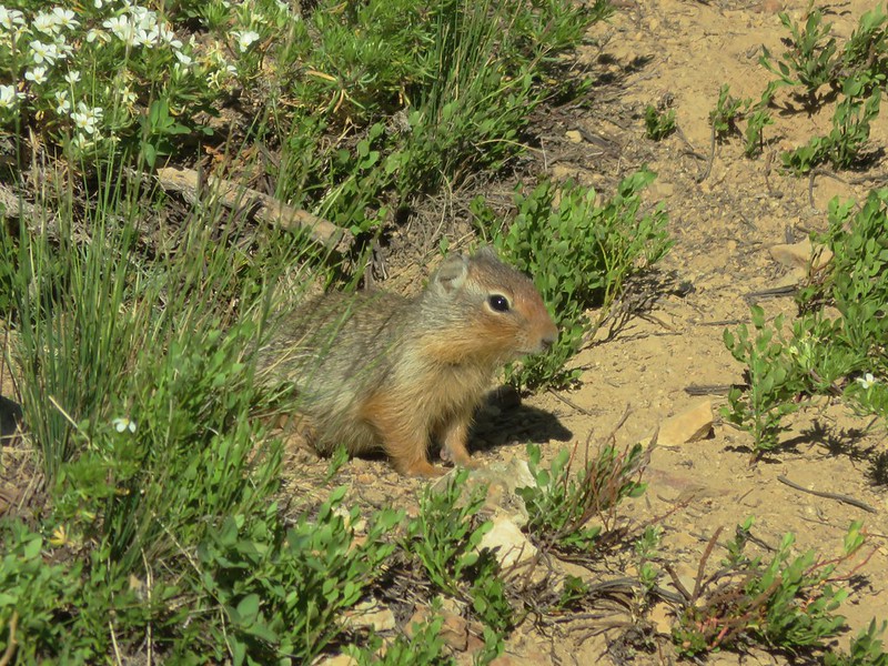
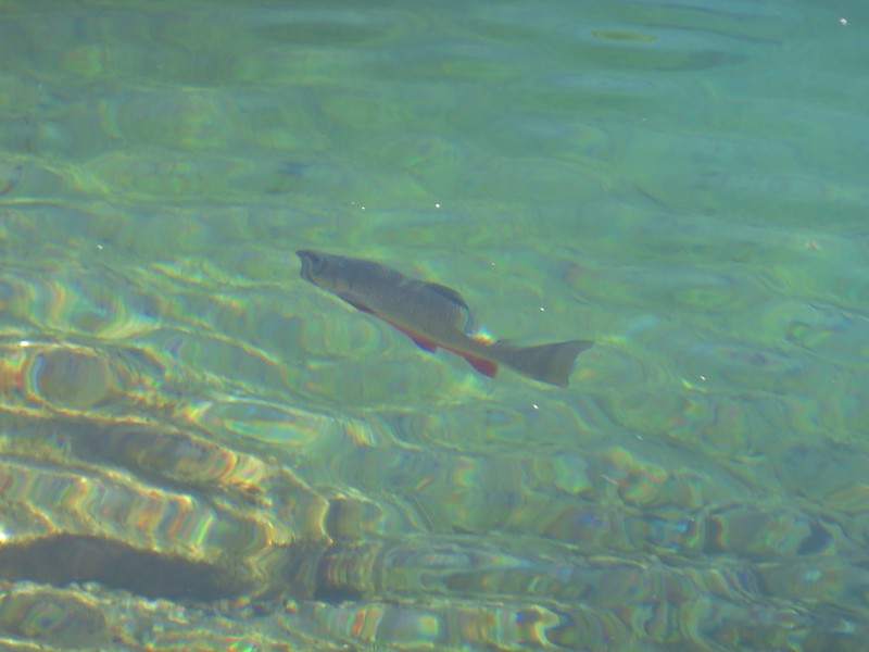
After relaxing and having dinner we did some exploring following a trail along the south side of the lake.
We spotted a few of the locals along the way.

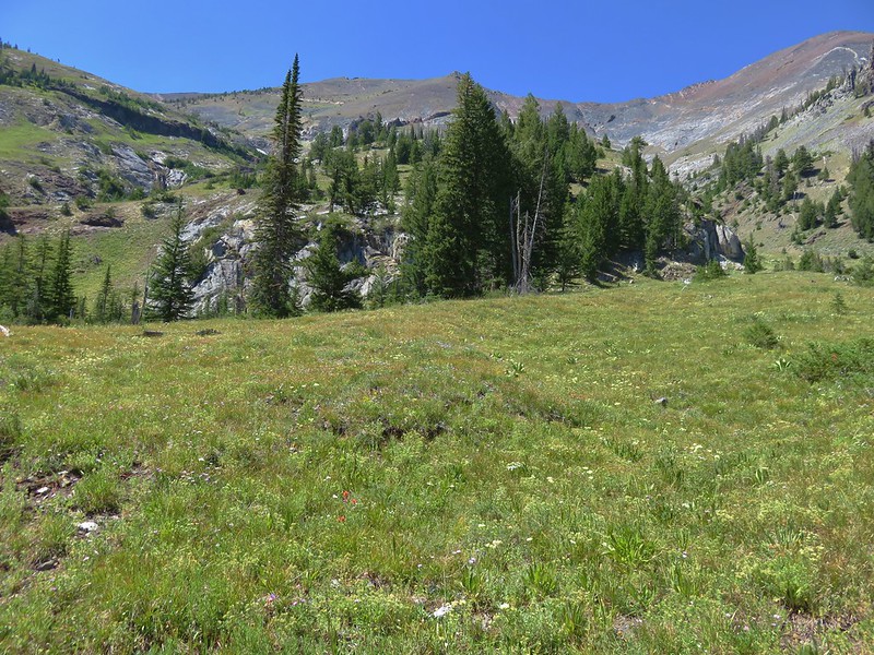
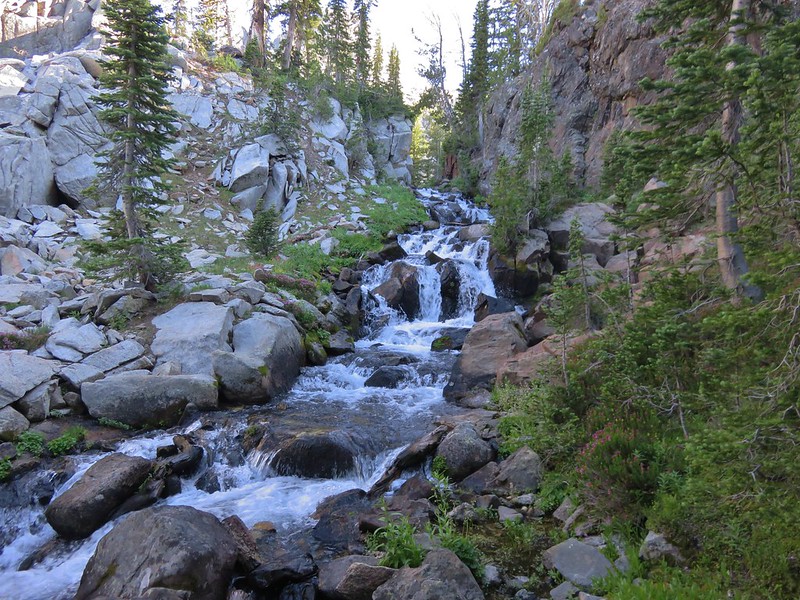
We crossed a nice inlet creek and followed it up to a pretty alpine meadow with a waterfall.


After filtering some water from the creek we returned to camp for the night.
It had been a great first day but shortly after we turned in Heather became ill. We were up for a couple of hours as she attempted to get her stomach to settle down. When we finally were able to go back to bed we did so wondering if we would be continuing our trip.
Happy trails!
Flickr: https://www.flickr.com/photos/9319235@N02/albums/72157669026671623

4 replies on “Eagle Cap Wilderness Day 1 – Ice Lake”
[…] time knocking 7 more off the Oregon list. They were the Oregon Badlands, Kalmiopsis, Menagerie, Eagle Cap, Mountain Lakes, Sky Lakes, and Lower White River Wildernesses in Oregon and the Marble Mountain […]
[…] started a 5 day backpacking trip here in 2016 (post) so the first quarter mile of trail was familiar before turning off of the West Fork Wallowa Trail […]
[…] mountains began with Heather being ill the first night due to the combination of heat and altitude (post). For that trip we had started hiking after making the six plus hour drive from Salem making it a […]
[…] #59 Ice Lake – Hiked 7/31/2016 […]