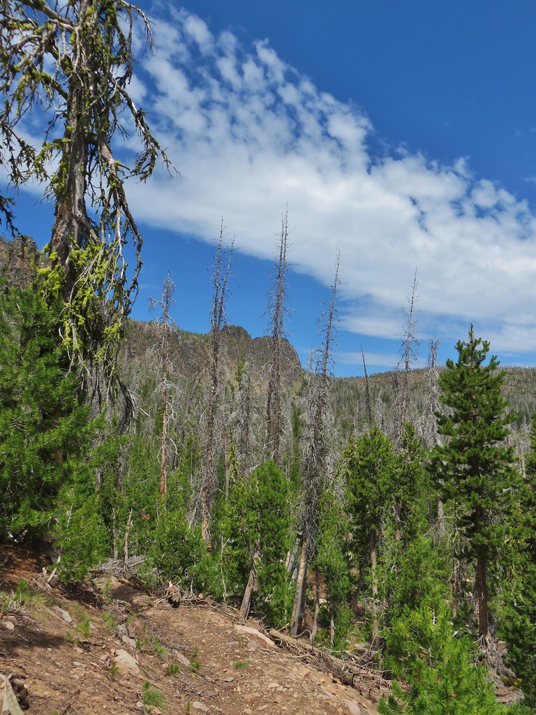
**Note the 2021 Bootleg Fire burned the entire Gearhart Mountain Wilderness.**
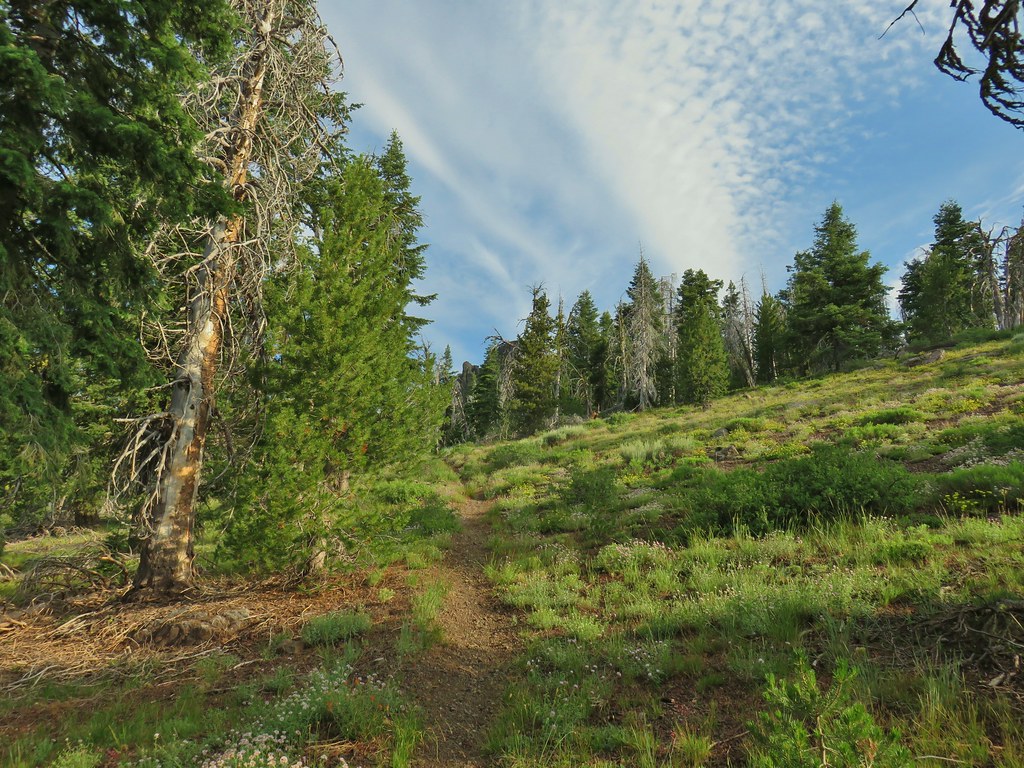
Thursday marked our sixth straight day of hiking and promised to be one of the longer, if not longest hikes of our trip. The weather had cooperated and after a couple of afternoons with possible thunderstorms the forecast for Gearhart Mountain was for mostly sunny skies. We were hoping to reach the 8370′ summit of the mountain which is located in the Gearhart Mountain Wilderness, one of 6 Oregon wilderness areas we had yet to visit (we are trying to visit all 46 of the wilderness areas in Oregon open to people post).
This visit would also check off another of William L. Sullivan’s featured hikes (we are trying to hike all of those as well post). The hike begins at the Lookout Rock Trailhead. Sullivan’s entry for this hike described the final half mile of the road to the trailhead as rough and steep. The Forest Service website linked above shows the trailhead before that final half mile of road listing it as closed. I had learned my lesson regarding trailhead roads the day before (post) so we parked at a pullout after about a mile on FR 012.

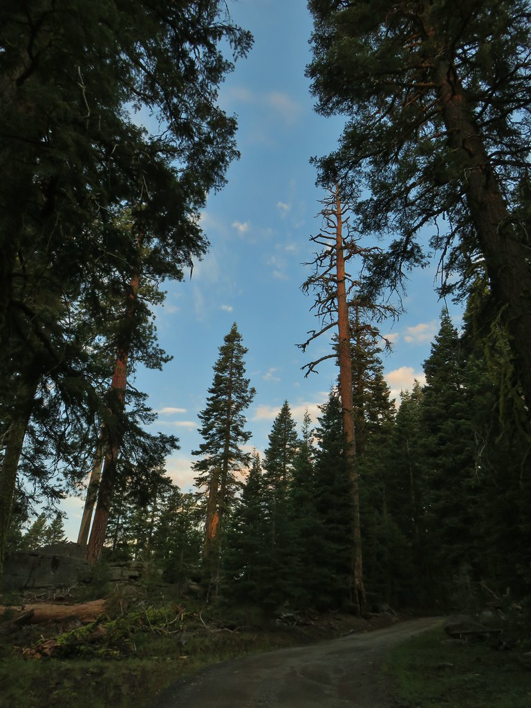
We set off up the road which aside from one short stretch with a pretty good runoff channel looked to be in pretty good shape and there was nothing to indicate that the road was actually closed (it continues beyond a gate at the trailhead to the Lookout Rock fire tower).
 The gate on the right through the trees.
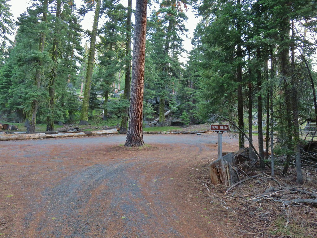
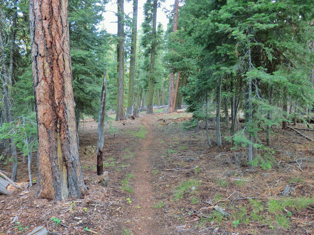
In hindsight the drive to this trailhead would have been much easier than the .5 miles to the DeGarmo Canyon Trailhead. Regardless we reached the start of the actual trail, filled out a wilderness questionnaire, and set off on the Gearhart Mountain Trail.

I was momentarily disappointed when we passed a post that looked like it used to sport a wilderness sign (I like to get photos of signs for each wilderness we enter) but a little further up the trail my spirits were lifted when we spotted one of the signs.


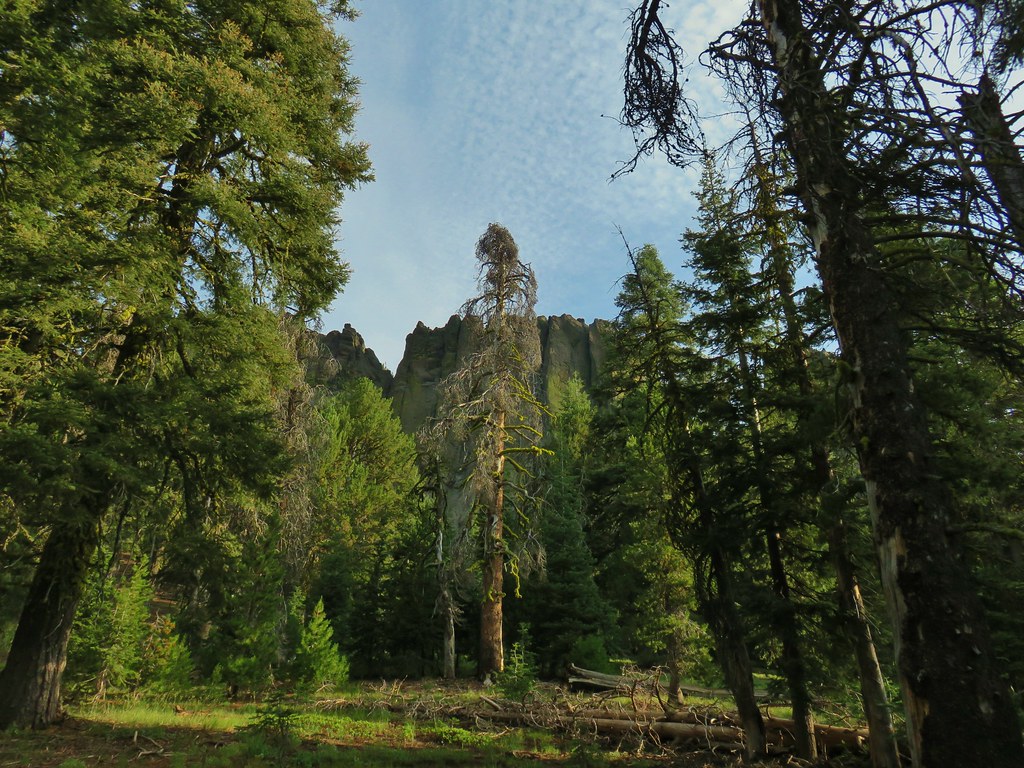
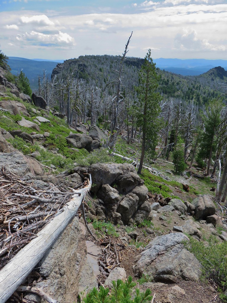
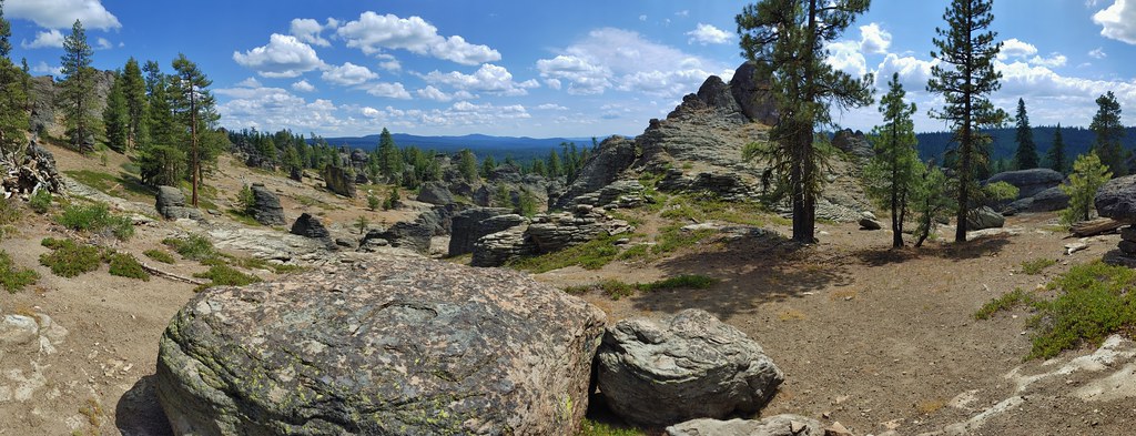
After .7 miles we came to The Palisades, a group of andesite formations of different shapes and sizes.
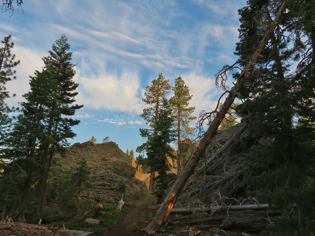
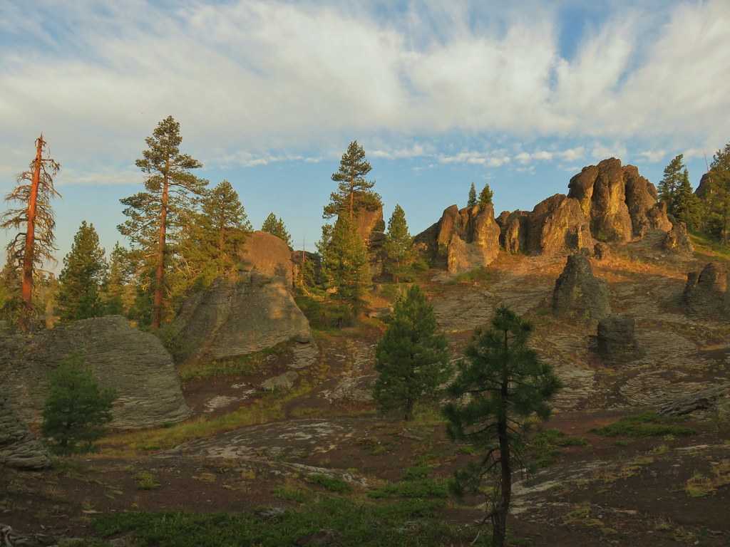


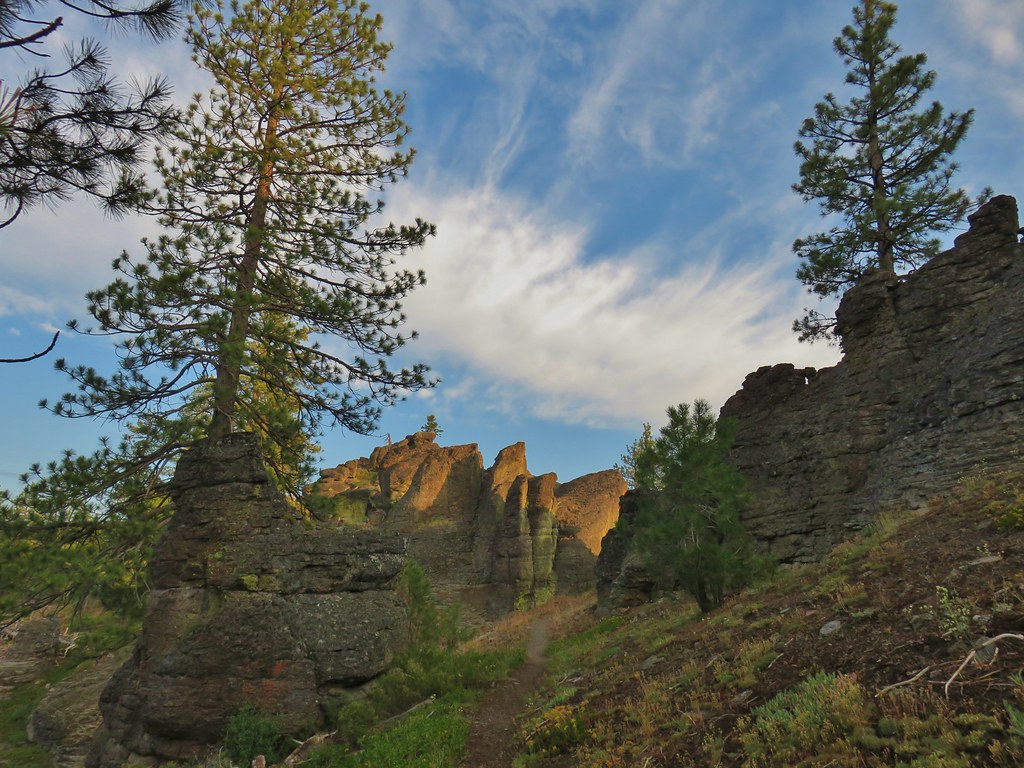

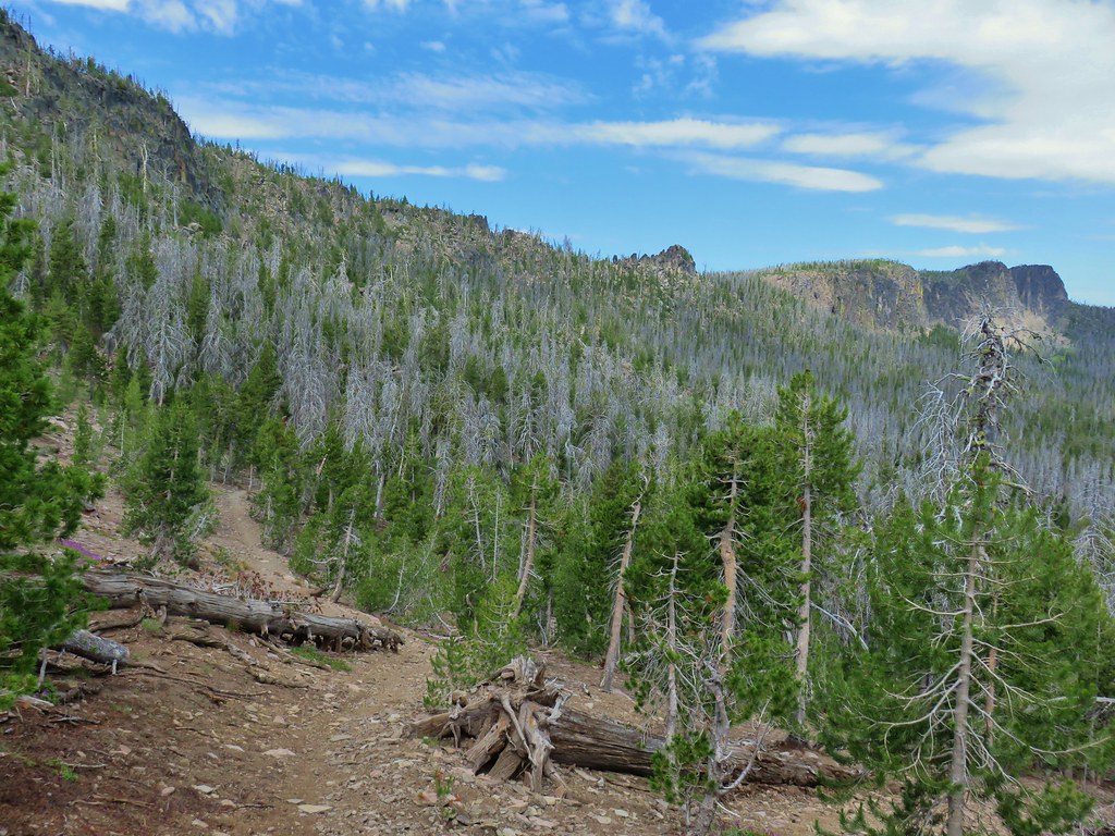
It took us quite a while to get through this section of the trail. I’m not sure what we had expected but The Palisades really blew us away and we could have spent quite a bit more time exploring the area. Beyond The Palisades the trail lost a bit of elevation as it began a forested stretch.


Approximately 2 miles in on the trail we came to a spring in a small meadow.

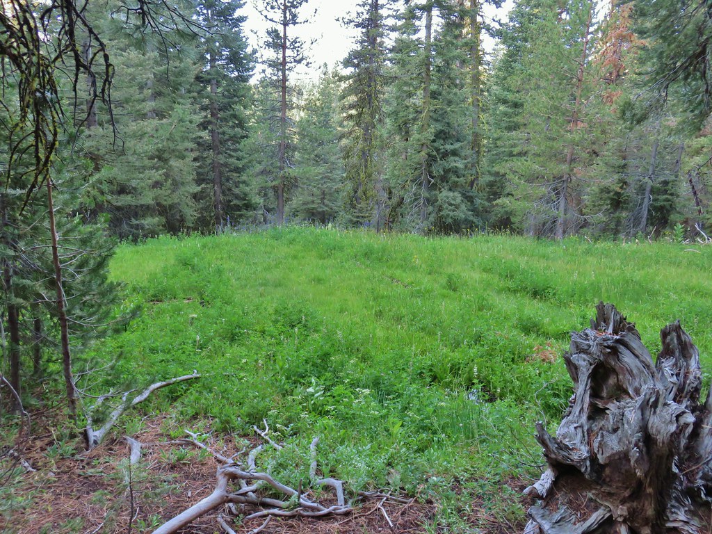
We began to see a few more flowers beyond the spring as the trail gradually climbed for .4 miles to a switchback that was not shown on our GPS maps.
 Mountain coyote mint and paintbrush along the trail.
 Starting the switchback.

 Scarlet gilia
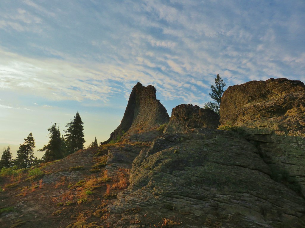
The switchback brought us beneath another interesting rock formation.

As we walked below the rocks we came to a small stream that was home to some other types of flowers and flowed past a good sized meadow.
 Columbine
 Monkshood and California corn lily
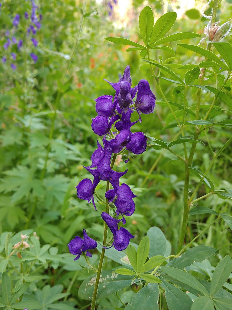 Monkshood
 Orange agoseris
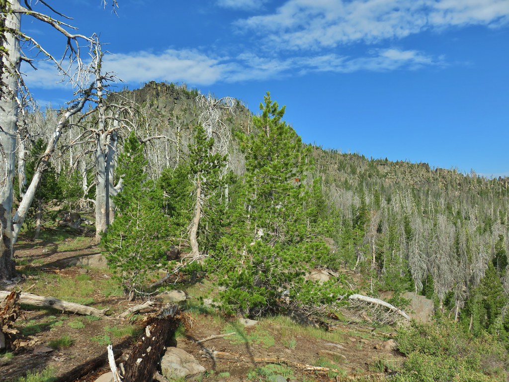
 More rocks above the trail.
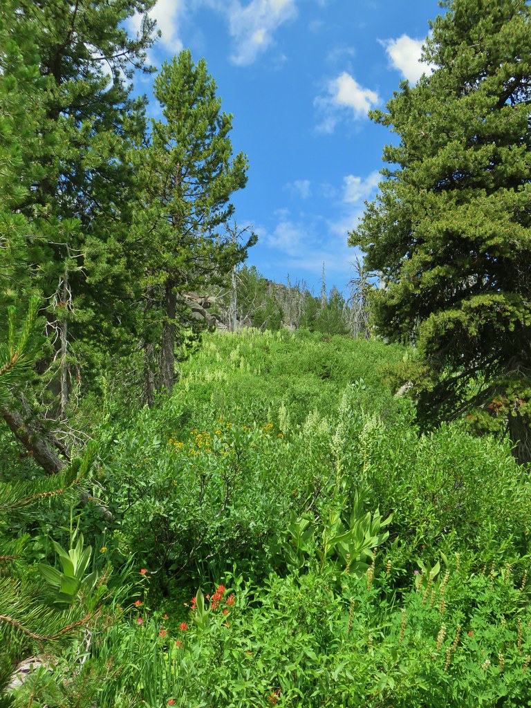
The trail continued to climb beyond the meadow along more open hillsides where pink mountain coyote mint and white Nuttall’s linanthus were abundant. Other flowers included paintbrush and a few balsamroot blossoms.


After 4.5 miles we arrived at a saddle where we faced a choice.
 Just about to the saddle.
To reach the summit of Gearhart Mountain we would need to strike out cross-country to the east for approximately 1.5 miles. The trail headed NE from the saddle dropping down to a series of meadow before climbing steeply to “The Notch” below the summit and continuing to Blue Lake in 4 miles and it’s end at FR 015 in 6.8. We were hoping to reach the summit and then would decide if we felt up to continuing to the meadows and The Notch. Sullivan’s description of the hike to the summit mentions a “scramble to the left 0.2 mile to the mountain’s long Ridgecrest”. He also says to “look for a break in the cliffs”. From the saddle it was easy to see the cliffs he was referring to.

 Gearhart Mountain from the saddle.
 Gearhart Mountain, The Notch to the right, and meadows below.
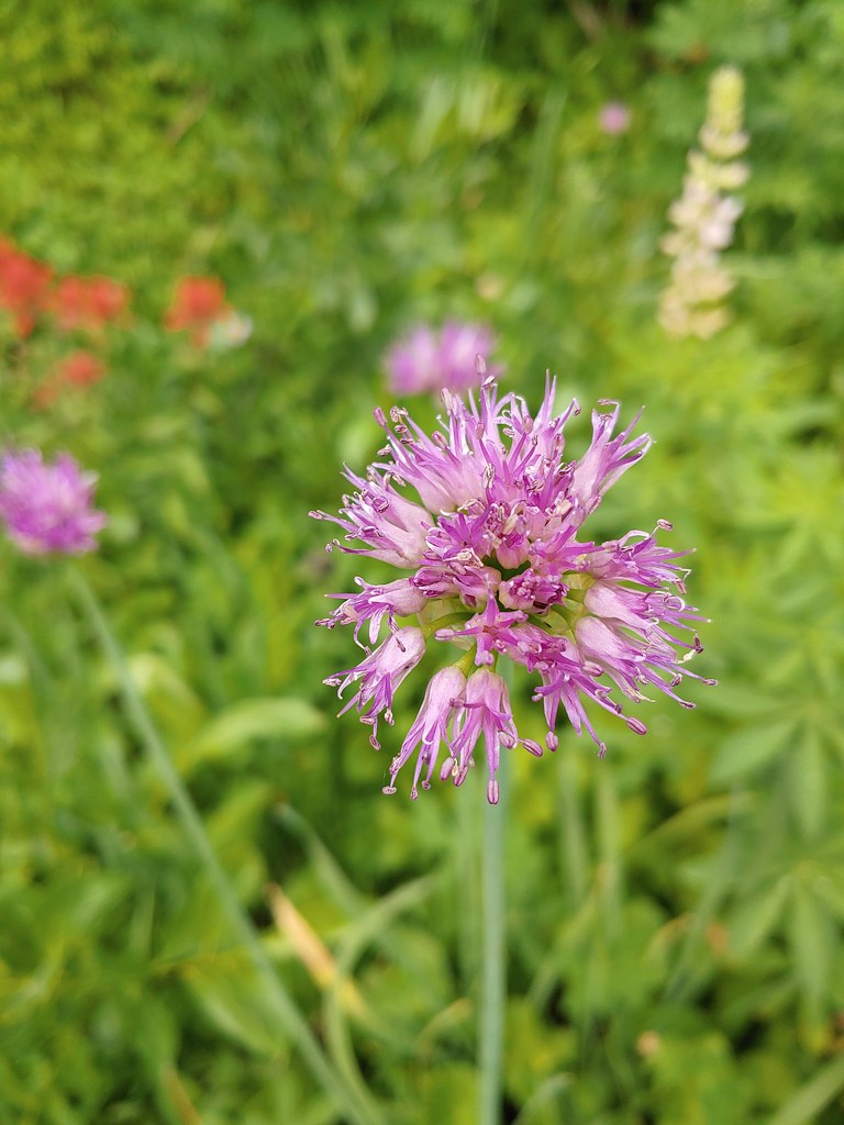
 Penstemon in the rocks at the saddle.
We took a brief break and studied the cliffs before setting off through the white bark pines to find a break in the cliffs.

We found a reasonable break where the manzanita was our biggest obstacle and climbed up through the rocks.

Above the rocks the terrain leveled out a bit.

We made a slight miscalculation here as we veered uphill thinking that we had gotten past the cliffs and were on the long Ridgecrest portion of the mountain.

 A fire pit also made us think we were on the right course.
We were following a ridge but the ridge kept getting narrower and rockier and after .4 miles (from where we had come up through the cliffs) we found ourselves on top of more cliffs. Luckily we only had to backtrack 150′ to find a spot where we were able to scramble down the east side of the rocks to a much easier walk through open forest.

We began to notice a snowy mountain to the east which after some debate we determined to be Mt. McLoughlin (post).
 You can’t make the mountain out in the picture but it was out there.
 Now you can sort of see it.
 A little blurry but there is Mt. McLoughlin
We startled a few grouse along the way (and they startled us right back) and our presence seemed to also be annoying a pair of raptors. They were noisily circling overhead and we assumed that they must have had a nest somewhere on the cliffs.

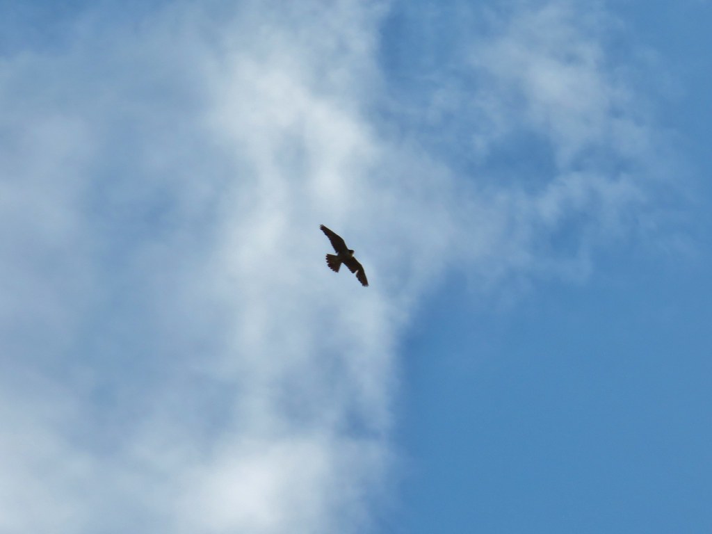
We did our best to stay as far away from the rocks as possible to lessen the disturbance.
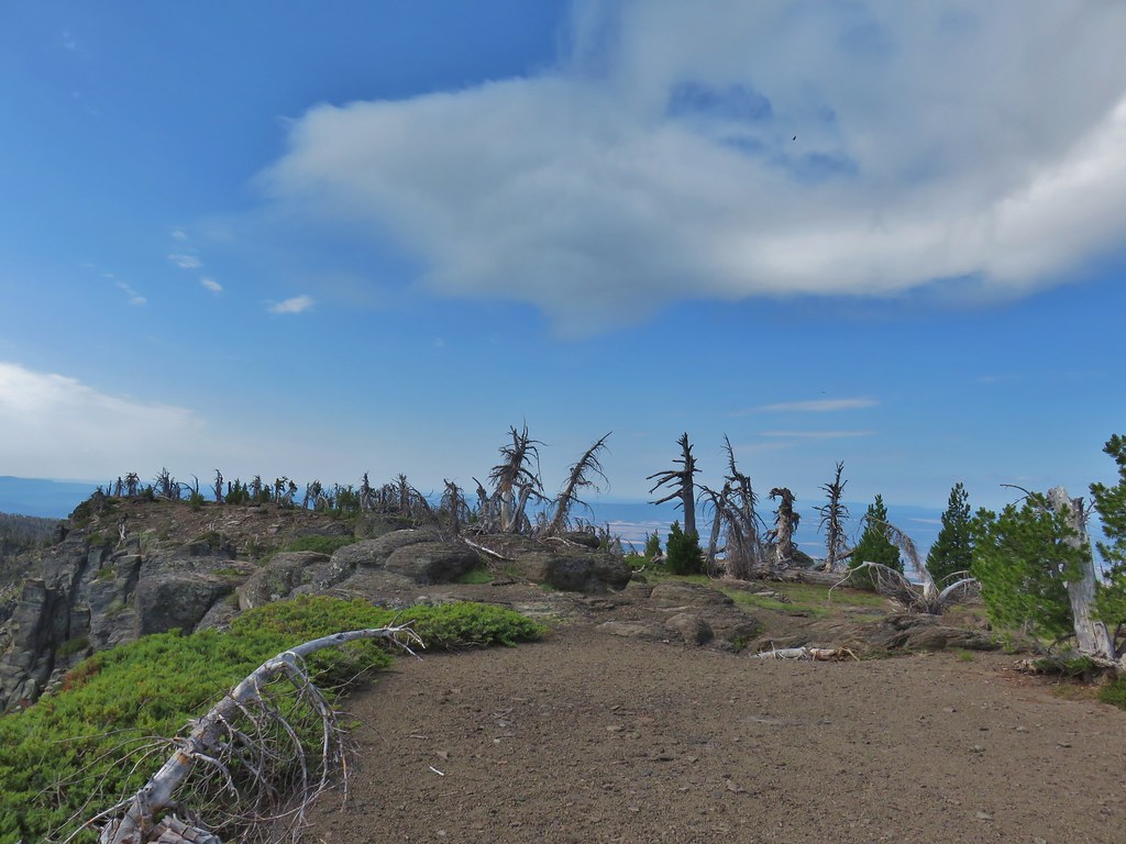
The last couple hundred feet to the summit was very easy walking on a the fairly flat top of the mountain.

 The final little uphill on the left.
 Summit of Gearhart Mountain
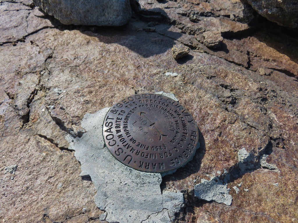 Survey marker
 Summit register
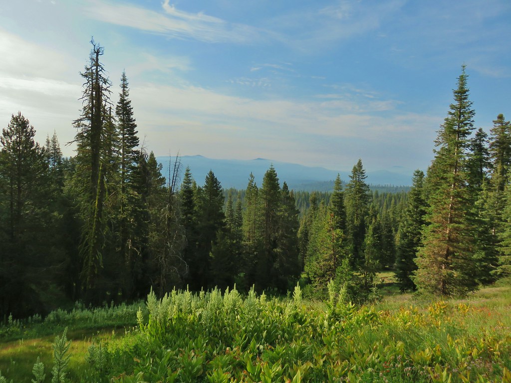
It was a nice day with blue skies overhead but smoke from fires in California and some remaining clouds and haze along the skyline limited the views of the surrounding area. On a clearer day we would have had a good view of Mt. Shatsa and been able to see all the way to Mt. Jefferson to the NW. As it was with the help of binoculars we could just make out some snowy features on the horizon but other than Mt. McLoughlin we couldn’t be sure which of the Cascade peaks we were seeing.
 The Notch is below to the right hidden by the cliffs.
 West toward Mt. McLoughlin which is still hard to make out.
 If you squint really hard you can make out a couple of snowy peaks on the horizon.
 NNE view.
 South back along the ridge.
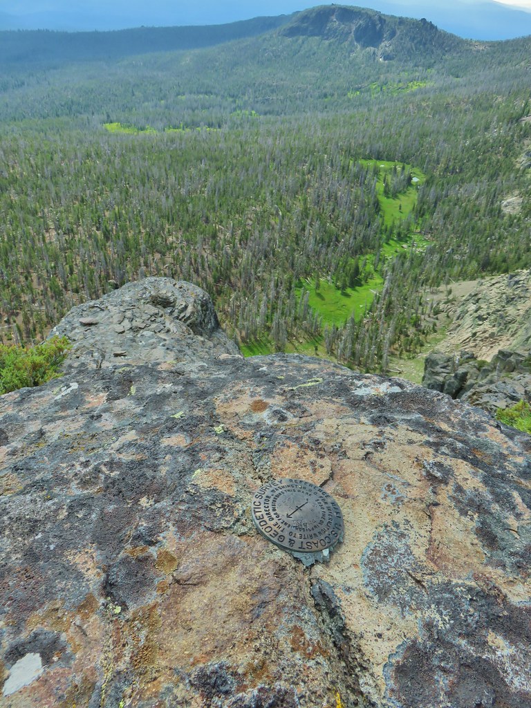 East down to the meadows below and a second survey marker.
After our summit break we headed back. This time we stayed below the rocky Ridgecrest remaining in the easier to navigate trees.

The key with this was not swinging out too wide and getting too far below where we had come up from the saddle. Numerous GPS checks kept us from getting to far astray and led us back to the spot where we had come up between the cliffs.
 Getting ready to drop down toward the saddle.
 Heading down
At the summit we had debated on whether or not to go to the meadows and on to The Notch. Heather was concerned about mosquitoes around the meadows and from the summit it didn’t appear that there was much in the way of flowers down there. Going all the way to the Notch would have added almost 2.5 miles to the days hike which was already going to be around 13 miles if we went straight back to the trailhead. By the time we reached the saddle though we decided to at least check out the meadows, Heather could stop and turn around if the bugs got bad and we didn’t know when we might find ourselves back here. It also helped that the trail shown on the GPS unit didn’t appear to lose much elevation remaining at the 7900′ elevation except for a slight dip to 7800′ near The Notch. We had talked ourselves into it and down the trail we went.
We quickly discovered that this was one of those cases where the actual trail was not really anywhere near where it was shown on the map and we had fairly quickly lost almost 200′. It appeared that perhaps most people stop at the saddle as there was noticeably more blowdown along this portion of the trail and it was faint at some points even when it wasn’t passing through the edge of a meadow.

The good news was that it wasn’t long before we encountered the first strip of lush green along the trail and there were in fact a good number of wildflowers (and not many mosquitoes).


 Paintbrush, monkshood, lupine and California corn lily
 Swamp onion

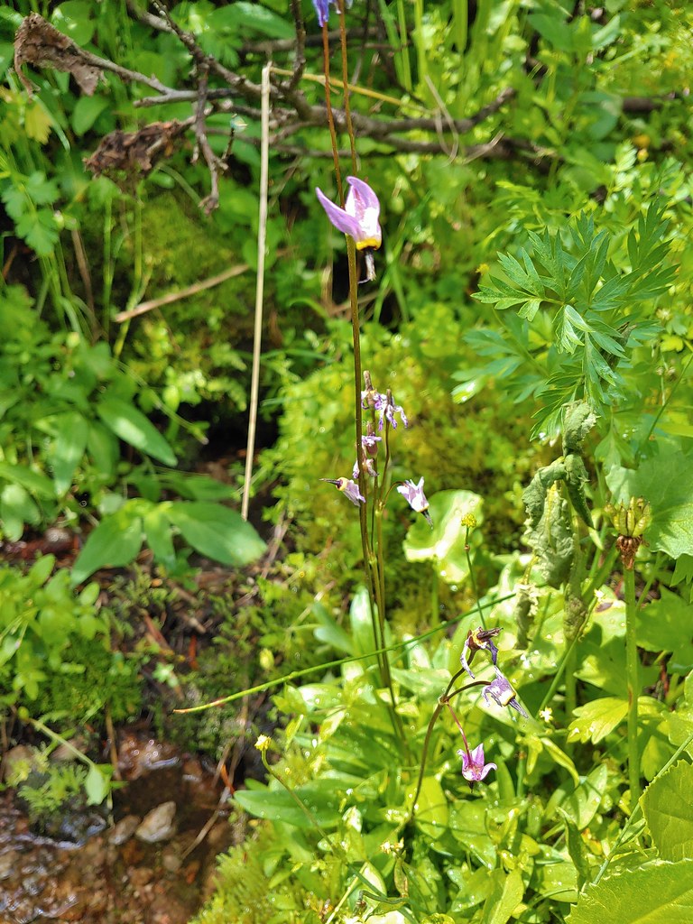 The remnants of a shooting star.
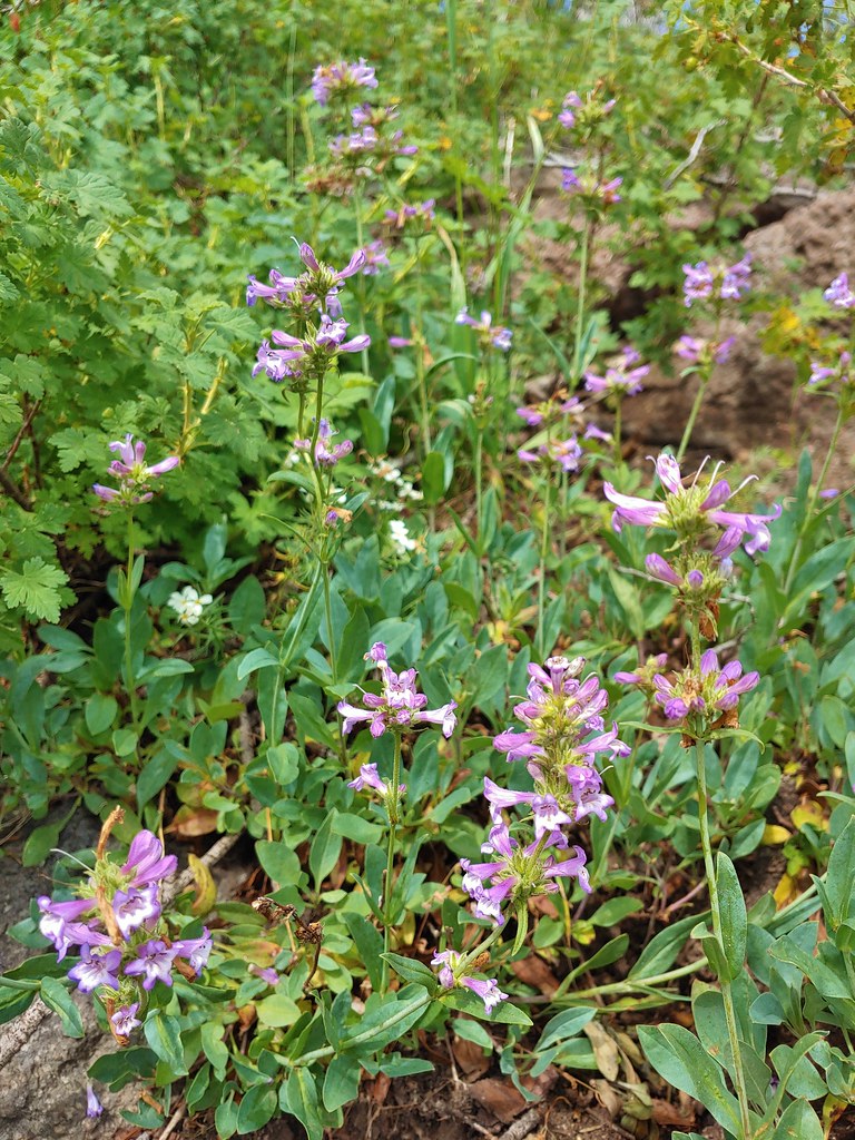 Penstemon
 Gearhart Mountain from the trail below.
We were pleased to find that even near the largest meadow where water was visible we didn’t have much of an issue with mosquitoes.

 Bistort
 Mountain heather next to the stream.
 The last of an elephant’s head.
 Bog orchids
 California corn lilies below Gearhart Mountain.
We followed the trail to the end of the big meadow which was near the start of the climb to The Notch and sat on some rock beneath Gearhart Mountain.


We decided that this would be as far as we would go. We didn’t see the point in climbing 200′ in the next tenth or two miles for a view that was simply lower than the one that we’d had at the summit. We had a snack and located a small patch of lingering snow beneath the cliffs before heading back.

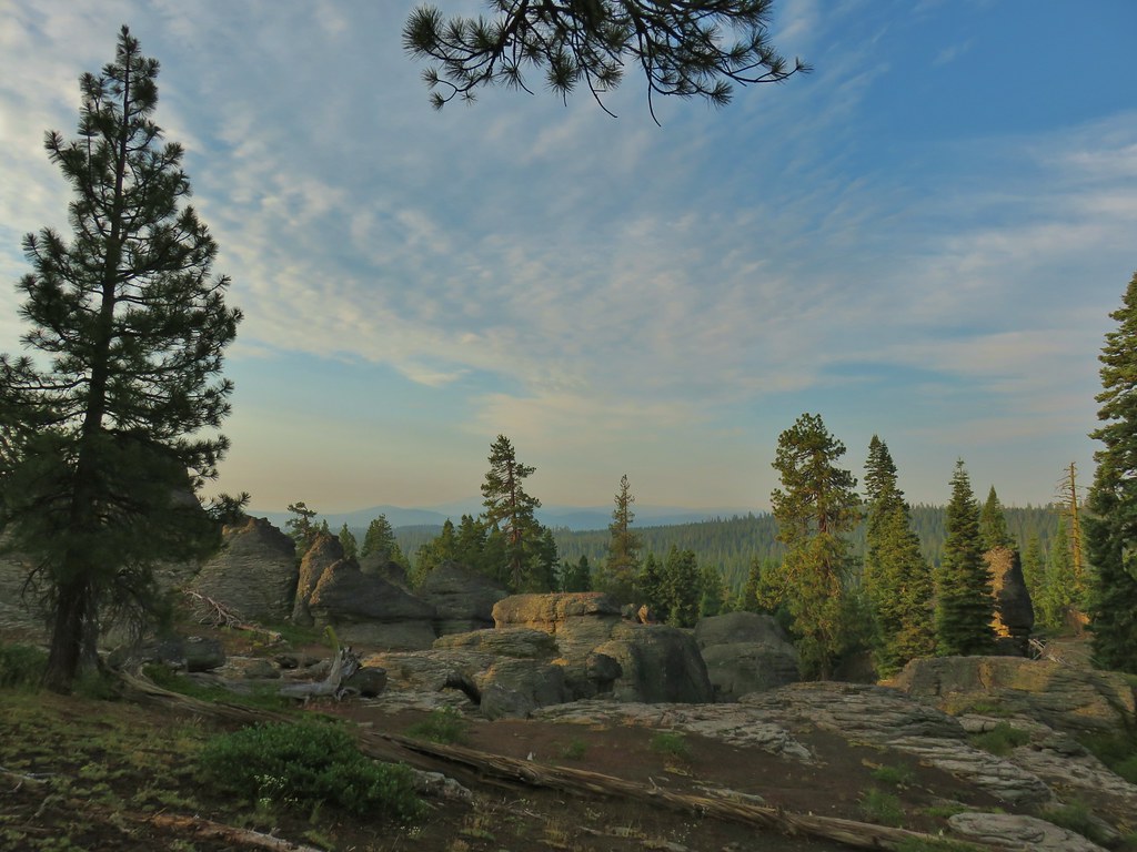
The hike back up to the saddle wasn’t as bad as we’d feared and soon we were heading down the other side. Going in this direction we got a better look at The Dome, another rock feature roughly 1.75 miles from the saddle.

The Dome from the trail.

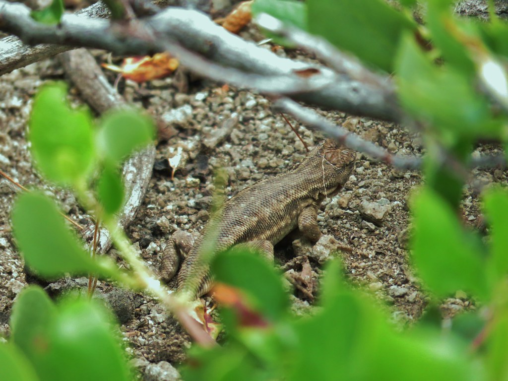
We spent more time admiring the Palisades on the way back and met a couple of sagebrush lizards in the process.

Despite a couple of tents set up along the road to the trailhead we saw no one all day on the trail. My Garmin put the hike at 15.7 miles. (Heather had less on hers but she also didn’t wander around like a fool while off trail like someone else may have.) It was a good hike to cap off our stay in Lakeview although we were planning on a couple of stops on the way home the next day so it wasn’t the last hike of our vacation. Happy Trails!
Flickr: Gearhart Mountain

3 replies on “Gearhart Mountain – 07/23/2020”
[…] that hiked. That meant a lot of new trails and sights for us. Two of the hikes, Gearhart Mountain (post), and Boulder Creek (post) were in wilderness areas that we had yet to make it to. Gearhart […]
[…] July vacation to Lakeview and a visit to the Gearhart Mountain Wilderness (post) was the only visit that happened as […]
[…] and Steens Mountain. Missing from this list are the Black Canyon (post) and Gearhart Mountain (post) wilderness areas which had featured hikes in earlier versions of Sullivan’s book that […]