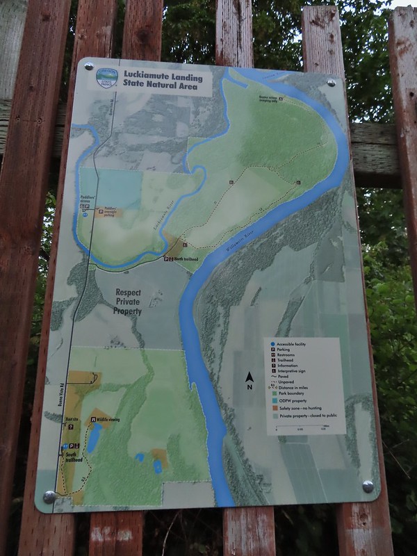
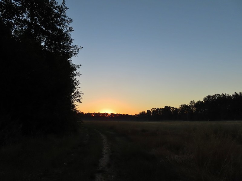
With a record setting heat wave arriving just in time for the weekend we changed our hiking plans and looked for something close to home and on the shorter side so that we could get a hike in before the temperatures got too ridiculous. A pair of hikes at the Luckiamute Landing State Natural Area matched that criteria and would be new hikes to us. A mere 30 minute drive from our house we were able to reach the first of the two trailheads, the Luckiamute Landing Trailhead by 5:15am. (We actually parked in a pullout 0.4 miles from the trailhead which I blame on not being fully awake yet.)
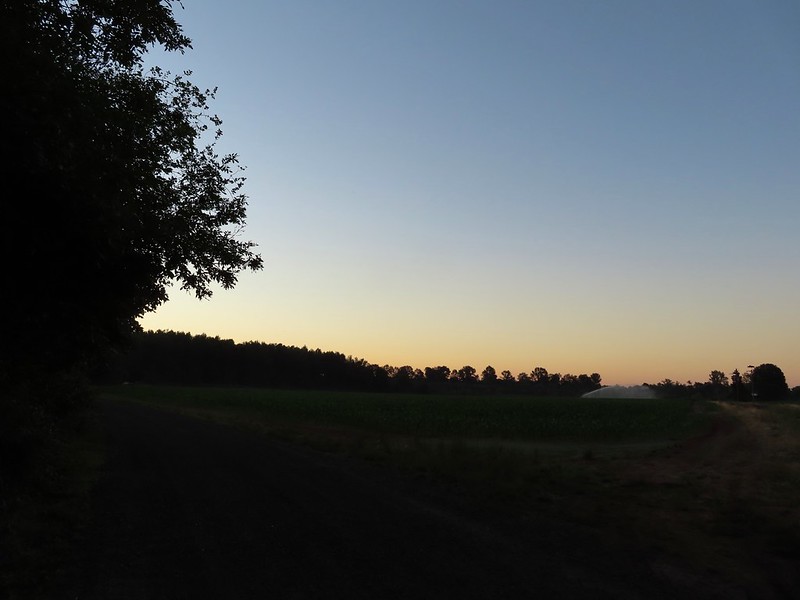 Private farm along the entrance road from the pullout we parked at.
 Osprey nest above the corn field.
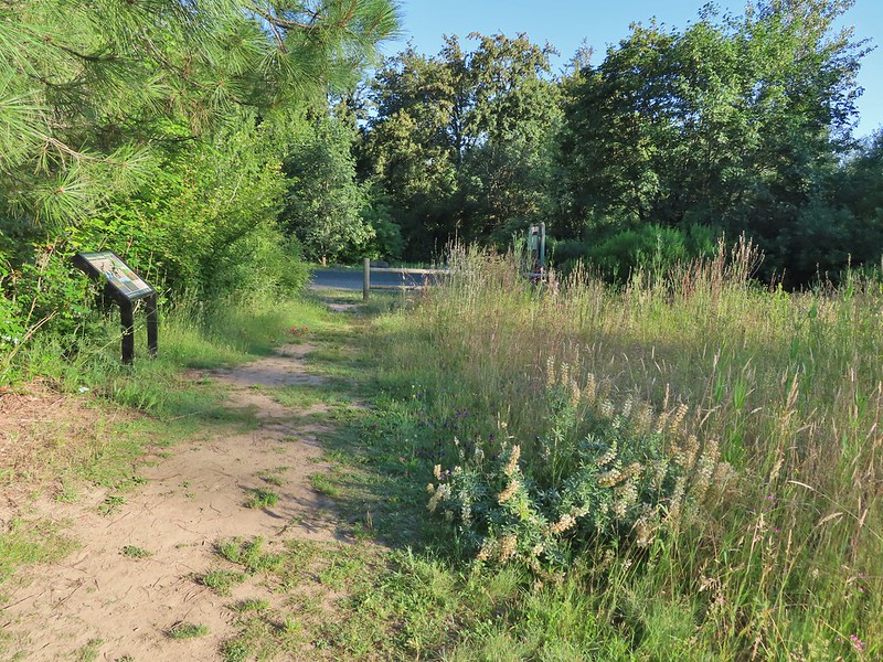
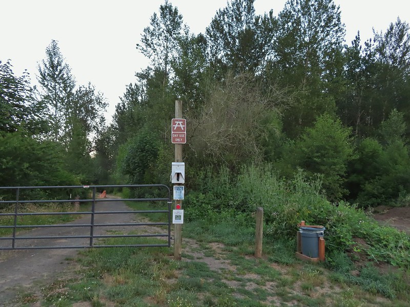 Gated road at the trailhead. There was a second gravel road to the right that was blocked with a log. The gravel road appeared to be fairly new and possibly a reroute of the gated road.
We walked around the gate and followed the dirt road a tenth of a mile to what must have once been the trailhead. The road passed near the Luckiamute River and it looked as though the river had been eroding the the embankment under the road which might explain why the trailhead was moved and the newer gravel road.


 Old trailhead?
A loop started at the signboard here.
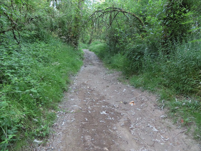
We stayed straight and continued following the road which never approached the Luckiamute again.
<img src="https://live.staticflickr.com/65535/51272635683_b6a46b64cb_c.jpg" width="800" height="600" alt="IMG_9020">
The road soon skirted the edge of a large field where a cat was in the middle on a morning hunt.

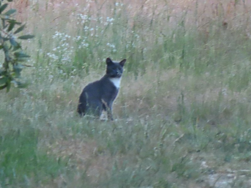 Extreme zoom on the kitty.
There was also a coyote out in the field but it disappeared into the grasses too quickly for even a poor photo. We continued on toward the Sun that would soon be scorching the Northwest and away from the Moon and the cool of night.


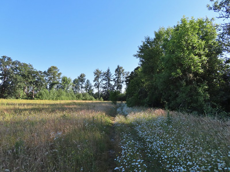
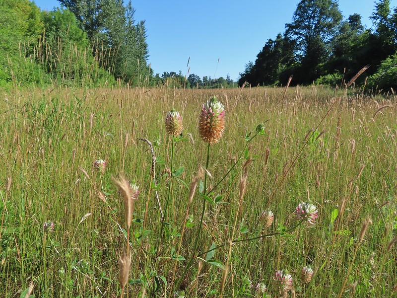
On our right was the open field but on the left was a wall of vegetation including some ripe thimbleberries which are Heather’s favorites.
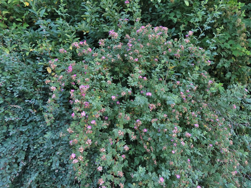 Wild rose
 Vetch
Vetch
 Oregon grape
 Thimbleberry
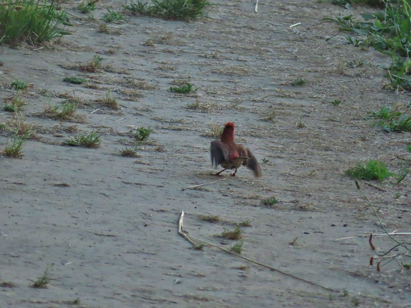
A finch appeared to be doing some sort of dance in the road.

A half mile after starting the loop we came to spur trail to the left with a hiker symbol for an interpretive sign. We of course took the bait and followed the path 50 yards to the sign at the end of the spur.


After reading the sign we returned to the loop and continued to the end of the field.
 We both initially thought that this was the start of an out and back to campsites along the Willamette River and that the loop continued around the field to the right. In fact there was a blue awning set up at the edge of the field in that direction and at least 3 vehicles (not sure why they were there or how they got through the gate). This was not the case and fortunately for us we were planning on doing the out and back which meant we didn’t make the mistake of turning here. The continuation of the loop was actually 0.2 miles further along the road in the forest.
 The correct right turn for the loop.
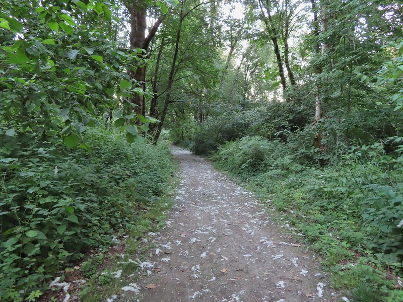
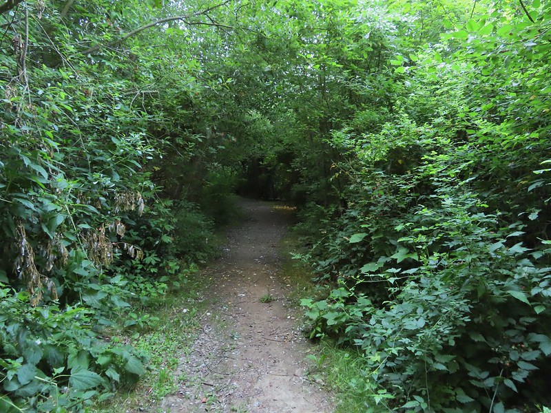
We ignored the loop for now continuing on the road through a mixed forest.

 Cottonwood on the road.
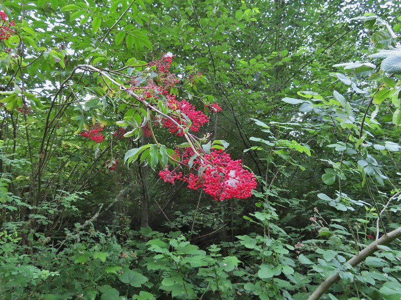 Red elderberry, a favorite of the birds.
 This wren was taking a dirt bath, perhaps an attempt to stay cool?
 A lot of invasive daisies in an opening.
 Native elegant brodiaea
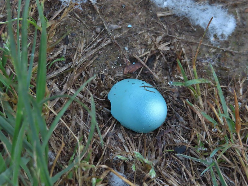 Egg shell
 More ripe berries.
The road curved to the north as it neared the Willamette and led to an open flat with a couple of picnic tables and campsites for boaters traveling the 187 mile long Willamette Water Trail.

 Poppies
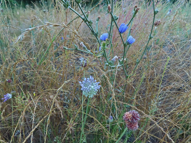 Mostly non-natives – chicory and clovers.
 More non-natives – Moth mullein and cultivated radish
 Slug
Slug
 Douglas spirea (native)
Beyond the campsites a narrow use trail led to a view across the Willamette River to the Santiam River as it joined the Willamette.

 The mouth of the Luckiamute on the left was hidden by trees.
I tried following the use trail to the Luckiamute but it ended (or at least my attempt did) in thick vegetation.

We returned to the campsites and followed a path down to the river landing.


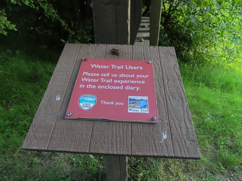

To be honest neither of us had heard of the Willamette Water Trail until then but it was interesting to learn of its existence.
 Willamette River at the landing.
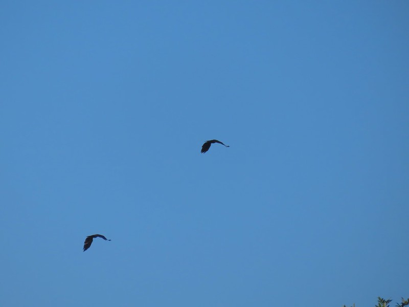 Not sure what type of birds these were.
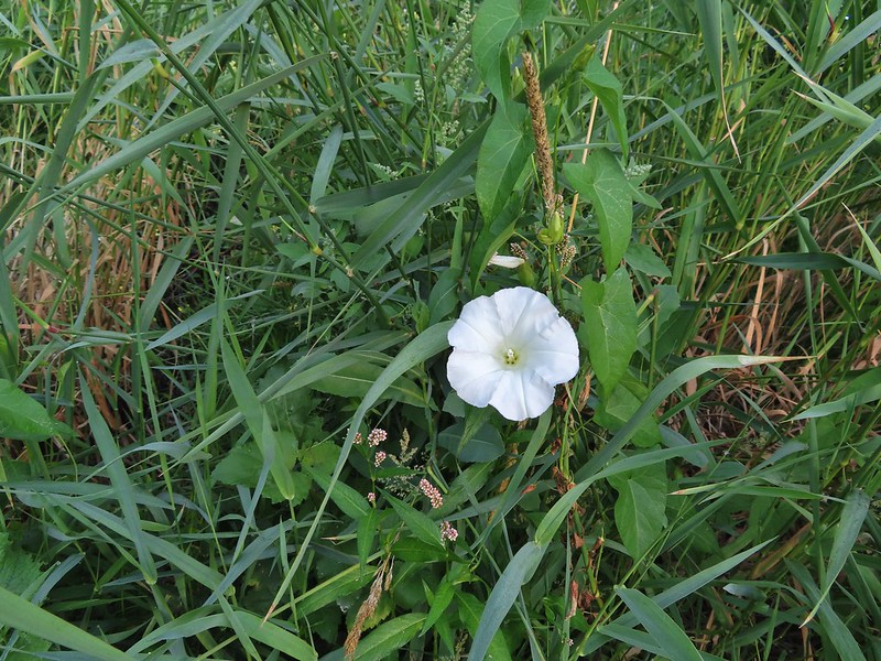 Bindweed at the landing.
We headed back along the road, which was still busy with wildlife, and then turned left to continue the loop when we reached that junction.
 Bunny and a bird (not pictured is the chipmunk that raced across the road here).
 Slug also “racing” across the road. Speed is relative.
 Back on the loop.
Instead of skirting the filed this portion of the loop stayed in the “gallery forest”, a narrow strip of trees that grows along a waterway in an open landscape. (Learned that term from an interpretive sign along this section.)


 Near the end of the loop the trail passed back along the field.
 White crowned sparrow
 Possibly nelson’s checkermallow.
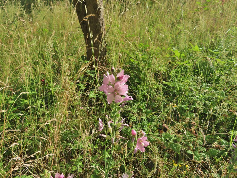 Meadow checkermallow
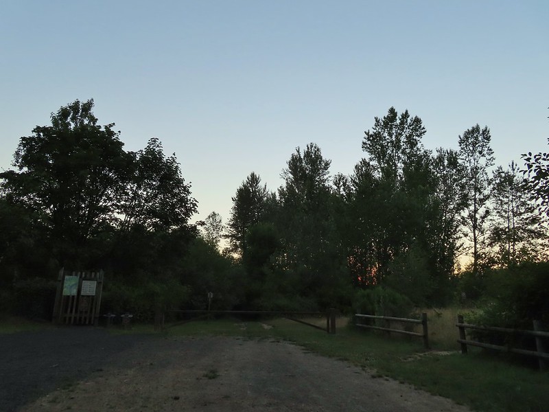
 Completing the loop.
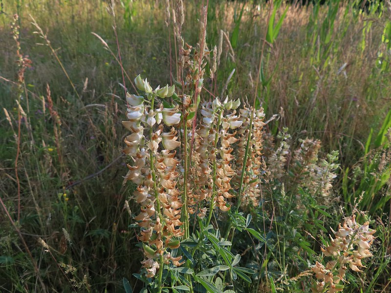 Lupine that is just about finished.
Before we headed back to the car we followed a path on the other side of the road a tenth of a mile to the Luckiamute River.
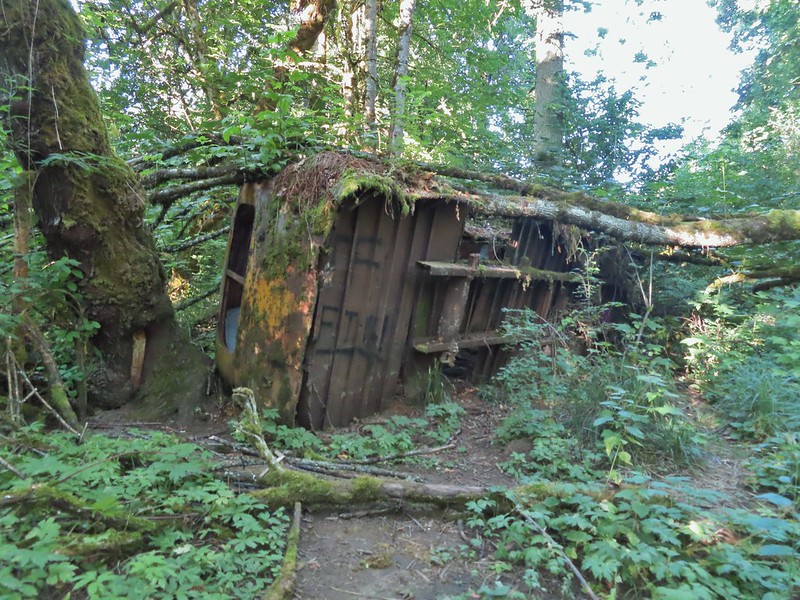 Old bus
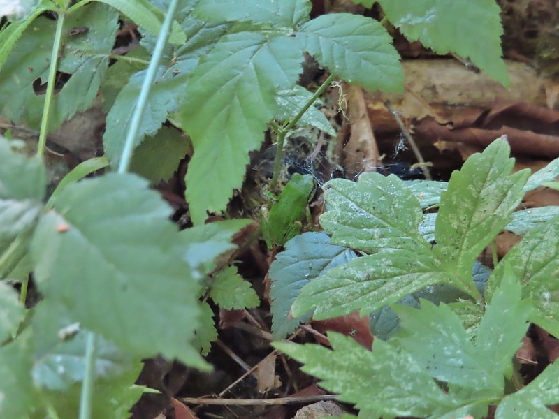 Tree frog
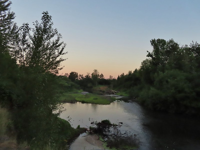
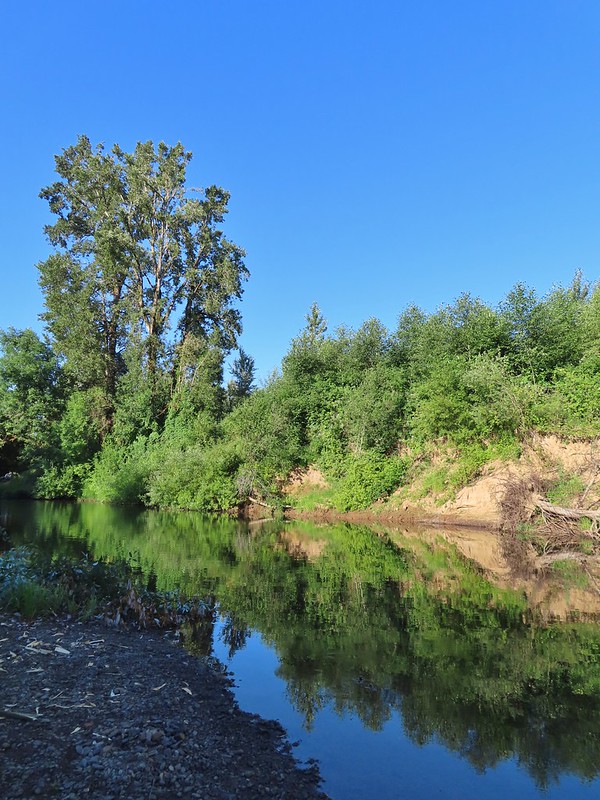
 Luckiamute River
After visiting this river we hiked back to our car via the newer gravel road. One of the osprey had just left the nest to presumably find some food when it came back into view.
 Waiting for food.
Our hike here came to 5.5 miles. Had we parked at the actual trailhead and not taken all of the side trails it would have been between 4.5 and 5 miles and if they reopen the road to the old trailhead the hike would be approximately 4 miles.
From the pullout we’d parked in we returned to Buena Vista Road and turned left (south) for a mile to the South Luckiamute Trailhead.

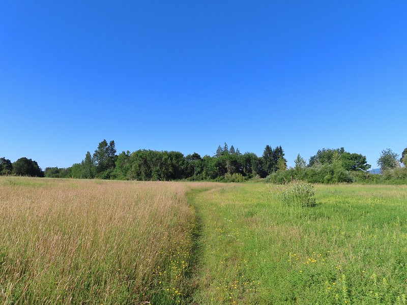
This was supposed to be a 1.1 mile out and back to visit the West Pond where we might just spot a western pond turtle. We followed a gravel path south for 0.2 miles before it turning east at the edge of the park boundary.

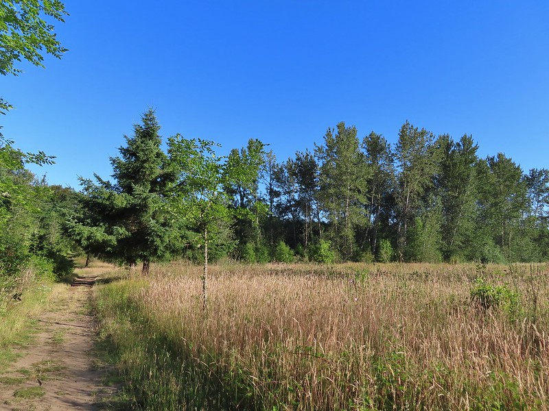
An old road bed dipped down to a flower filled field which it skirted eventually curving north and arriving at West Pond after half a mile. (West Pond is an old gravel pit.)
<img src="https://live.staticflickr.com/65535/51272439201_2ff86c4837_c.jpg" width="800" height="600" alt="IMG_9182">
 Old farm equipment with poison oak in the background.
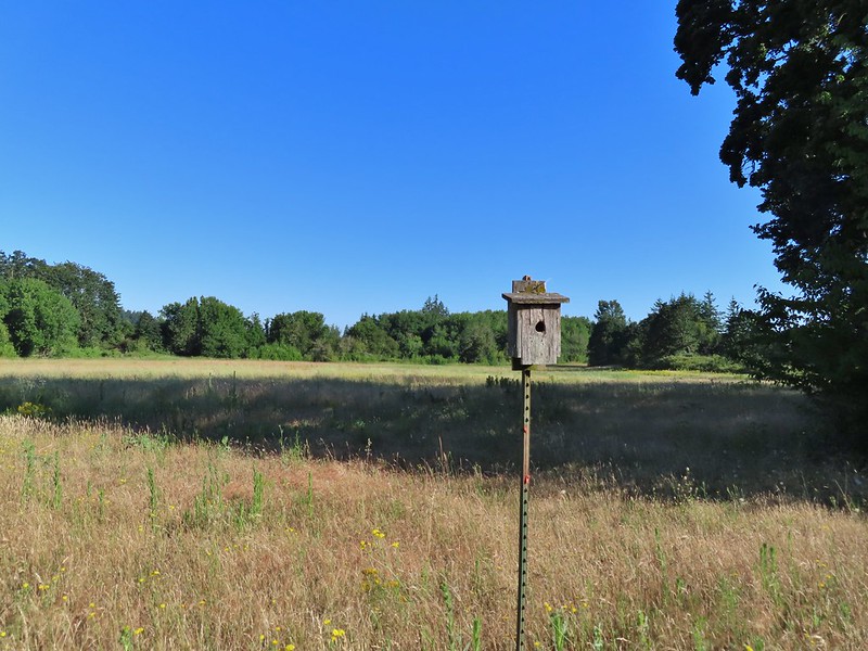 One of several birdhouses along the road.
You can go down to the pond at the south end but a couple had just headed down there in front of us so we decided to keep going and possibly visit that spot on the way back. The turtles, if we were to spot any, are primarily located at the northern end of the pond and we had left our binoculars in the cars so spotting them from the southern end wasn’t likely anyway.

 North end of the pond.
Except for the southern end the area around the pond is closed for turtle habitat.


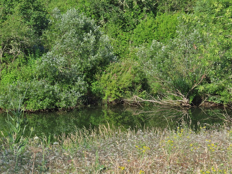
There was a good view of the pond from the road at the north end though. Unfortunately we didn’t spot any turtles although there were a couple of disruptions in the water that very well could have been their work. We did however see a few birds.
 We are both pretty sure a turtle swam off from this area when we came into view.
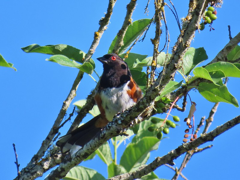 Spotted towhee
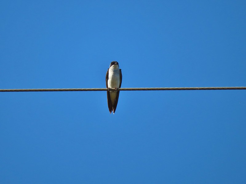 Swallow
The entry on the Oregonhikers.org field guide showed the trail extending a bit to the north of the pond before ending which is why we had planned for a 1.1 mile out and back. The field guide did mention future plans to expand the trail network here though. We continued north along the road which turned into more of a grassy track but it never petered out. Instead it curved west then south wrapping around the field eventually leading back to the roadbed near where it had dropped to the field.

 European centaury

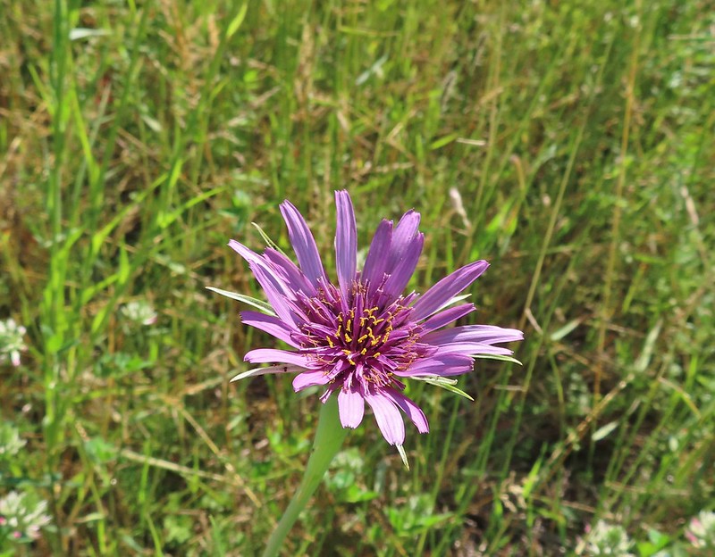 Oyster plant
 Creeping jenny
 Arrowleaf clover
 Scrub jay
 Corn Chamomile
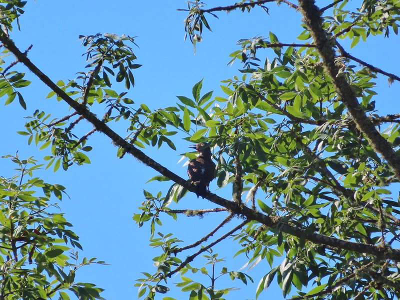 Northern flicker
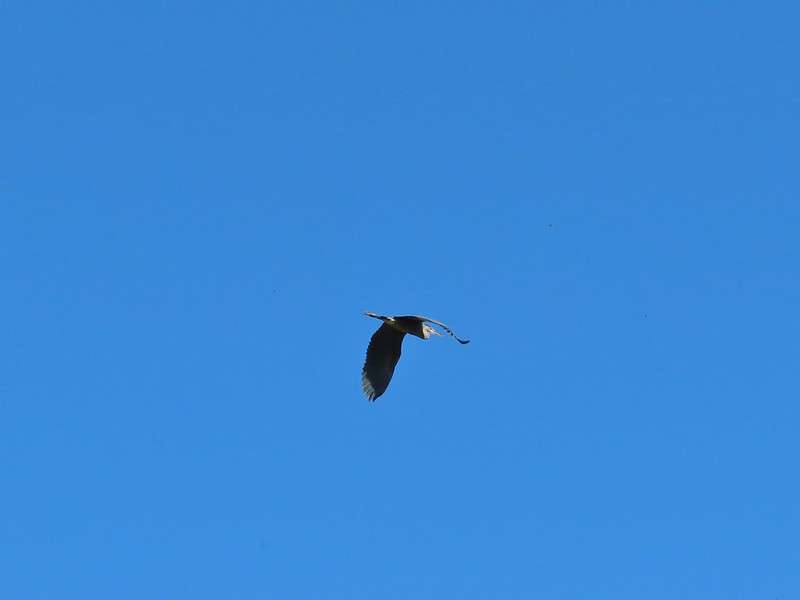 Great blue heron
 American kestral
After completing this unexpected loop we returned to our car. The hike here came in at 1.9 miles, still short but quite a bit further than the 1.1 miles we expected. We finished just before 9am but it was already in the high-70’s. The plan had worked though, we’d managed to get 7.4 miles of hiking in before 9am and were back home with the A/C on by 9:30am. During our hike we discussed the very real possibility that these types of heat waves will become more and more common in the future and pondered what that would look like. Something to think about and be prepared for but for now we’d had a nice morning on the trails and found a new local option to revisit. Happy Trails!
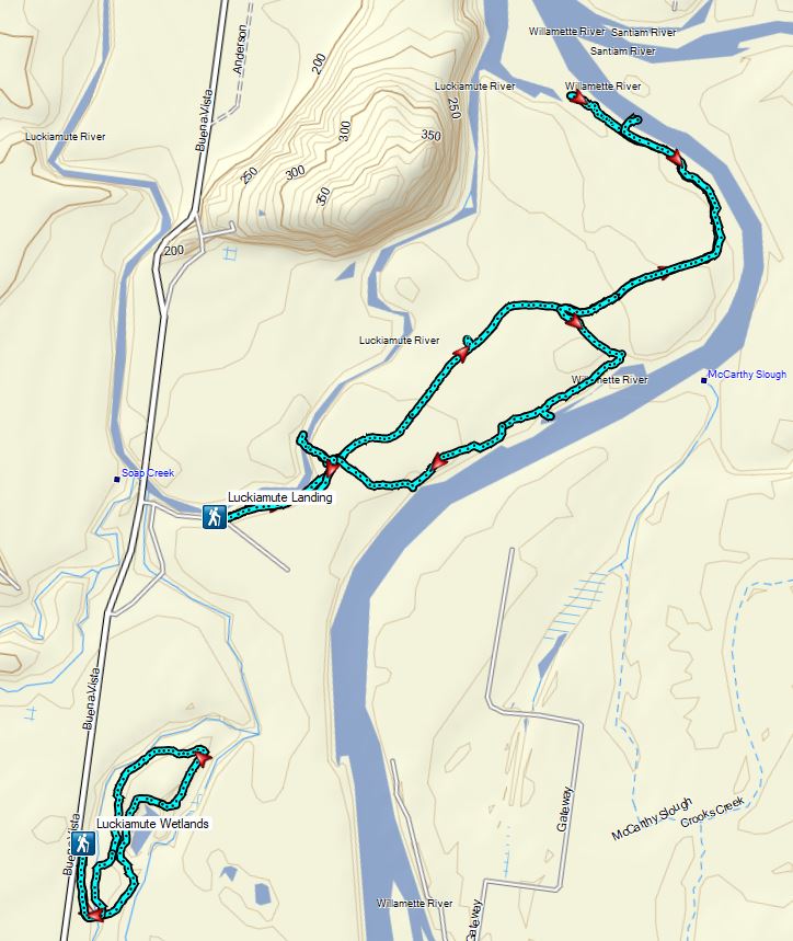
Lower track – Luckiamute Wetlands
Flickr: Luckiamute Landing and Wetlands

One reply on “Luckiamute Landing and Wetlands – 06/26/2021”
👍😊