After missing out on some nice weather due to an illness more good weather on Veterans Day offered me an opportunity to hit the trails. Heather unfortunately didn’t get this holiday off, so it was another solo outing for me.
I decided to head back to Silver Falls State Park and check out three more of the backcountry trails that I had yet to hike. These were the Racket Ridge, Racket Ridge Connector, and Roemer’s Meadow trails. I had two options for trailheads, Howard Creek or North Falls. The Howard Creek Trailhead provided the shortest access to these three trails, but I would need to use a horse ford to cross the South Fork Silver Creek to do so. Starting at the North Falls Trailhead eliminated the need to ford any creeks, but it would add 2.4-miles to my planned route as I would need to use a 1.2-mile section of the Perimeter Trail to reach the Roemer’s Meadow Trail.
I chose the longer, drier, route and parked at the North Falls Trailhead.

I crossed the North Fork Silver Creek using the footbridge near the signboard then turned left passing under Highway 214 to reach a junction with the Perimeter Trail.

I hiked the Perimeter Trail back in 2022 and had passed the upper terminus of both the Roemer’s Meadow and Racket Ridge Trails on that big loop. From the junction it was a 1.1-mile climb to the Roemer’s Meadow Trail and another 1.9 to the Racket Ridge Trail. My plan was to go all the way to the Racket Ridge Trail and follow it downhill to its junction with the Roemer’s Meadow Trail. Before taking the Roemer’s Meadow Trail back up to the Perimeter Trail, I would continue on the Racket Ridge Trail to the Racket Ridge Connector Trail and then follow that trail 0.6-miles to the Nature Trail then turn around.
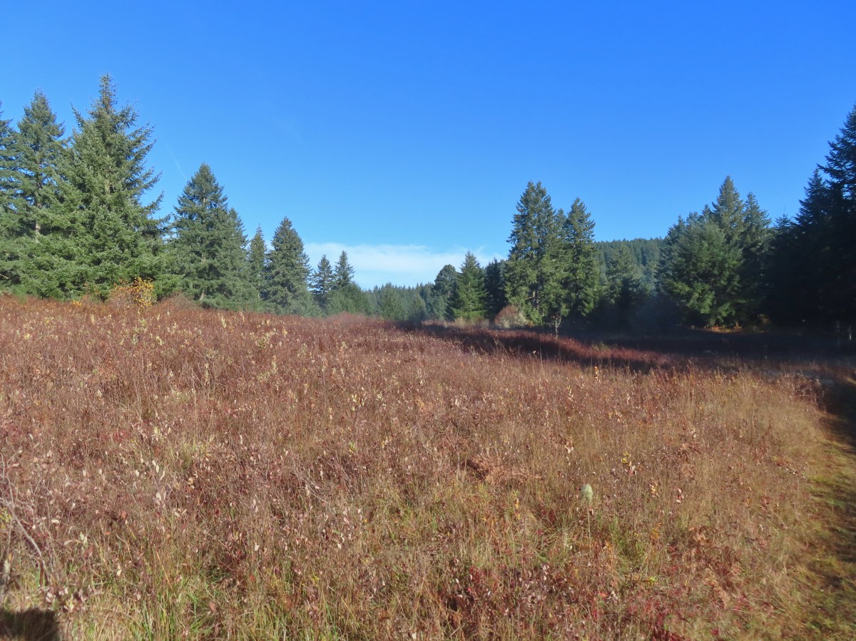
The Perimeter Trail was in good shape and as is always the case the Silver Falls Backcountry was beautiful.


The Roemer’s Meadow Trail junction. The Perimeter Trail turns to the left here.

The Moon above the treetops.

No flowers this late in the year, but there were plenty of mushrooms.


Arriving at the junction with the Racket Ridge Trail.

Map at the Racket Ridge junction.
I turned right onto the Racket Ridge Trail and followed it downhill 2.2-miles to the Roemer’s Meadow Trail.


A few of the deciduous trees still had their leaves.


Ruffed grouse

Coral fungus

The trail briefly followed this road.


The junction with the Roemer’s Meadow Trail which is to the right.

South Fork Silver Creek next to the Racket Ridge Trail.


Shortly before I reached the Racket Ridge Connector Trail, I ran into a doe coming up the trail toward me.
This was clearly the doe’s trail. She was not in the least concerned by my presence and she nibbled on leaves as she continued toward me. In an attempt to stick to Leave No Trace Principles I backed up a little and she just kept coming. Luckily the road that I had crossed was still nearby so in the end I cut up through some brush and stood on the road as she passed by on the trail.

Back on the trail I quickly came to the ford which was at the junction with the Racket Ridge Connector Trail.


I followed the Racket Ridge Connector to the South Falls Campground and its junction with the Nature Trail.


Another road crossing.

The trail followed along the road to cross the South Fork Silver Creek.


Trail pointer at the junction.
I had been at this junction three previous times, most recently in October during my Howard Creek Loop hike (post) making it a good spot to turn around.
I returned to the Roemer’s Meadow/Racket Ridge Trail junction and turned onto the Roemer’s Meadow Trail which immediately crossed a road.

Roemer’s Meadow Trail straight ahead.


After a brief climb the trail arrived at Roemer’s Meadow which it skirted before reentering the forest.


This was another nice trail with a couple of steeper sections which utilized switchbacks to climb those portions.


The trail made several access road crossings.


Arriving back at the Perimeter Trail.
I turned left onto the Perimeter Trail and followed it back down to the junction near Highway 214.


Since it was still before 11am when I arrived back at the junction I decided to visit Upper North Falls and turned right. It was 0.3-miles to the falls.


Upper North Falls
After visiting the falls I headed back toward the trailhead, but it was still before 11am when I was passing by so I decided I should visit North Falls as well. I passed the footbridge and headed for the junction of the Rim and Canyon Trails. On my way to that junction I decided why not just do the three-mile loop using the Rim, Winter Falls, and Canyon Trails. I took the Rim Trail just over a mile to the Winter Falls Trailhead.


Pointer at the Winter Falls Trailhead.
I took the Winter Falls Trail down to Winter Falls which was flowing nicely.


These falls all but dry up during the summer months.
I followed the Winter Falls Trail across the North Fork Silver Creek then turned right on the Canyon Trail.


It was 0.3-miles to Twin Falls then a little over a mile back to the trailhead.


Twin Falls


North Falls


From behind North Falls.


Cars parked at the trailhead ahead on the left.
This wound up being a 14-mile hike with approximately 2000′ of elevation gain. Had I skipped the waterfalls it would have been closer to 10.5-miles with a little over 1600′ of elevation gain.

During my time in the backcountry I only saw two mountain bikers. (Twice since they were riding the Racket Ridge/Roemer’s Meadow Loop in the opposite direction I was hiking.) There were quite a few more people on the waterfall trails but it didn’t feel too crowded. Now that I’ve added the Racket Ridge, Racket Ridge Connector, and Roemer’s Meadow trails to those that I’ve hiked in the park the only trails that I haven’t hiked is the downhill only upper section of the Catamount Trail, half of the Newt Loop, and parts of the paved Bike Path. Given the park is only 45-minutes from Salem I’m sure I’ll have the opportunity to check those sections of trail off at some point down the road. Happy Trails!
