My ongoing issues with my back/hips have made it necessary to change the way we normally approach hiking. One of the biggest impacts has been our inability to travel for a vacation where we would typically hike 5 or 6 days out of the 10 days from Sat through Sun. My final week of vacation was going to be more of the same. Instead of a hiking trip I had a couple of appointments scheduled and was working my way back from not being able to hike for a couple of weeks due to heel and hip issues.
An afternoon PT appointment on Monday meant I needed to keep my driving time down and I also wanted to keep my distance options open, so I made the 15-minute drive to Minto-Brown Island Park for the fifth time this year. I parked in Lot 4 along Homestead Road which would give me a chance to check on the otters (post) first thing and on the way back.
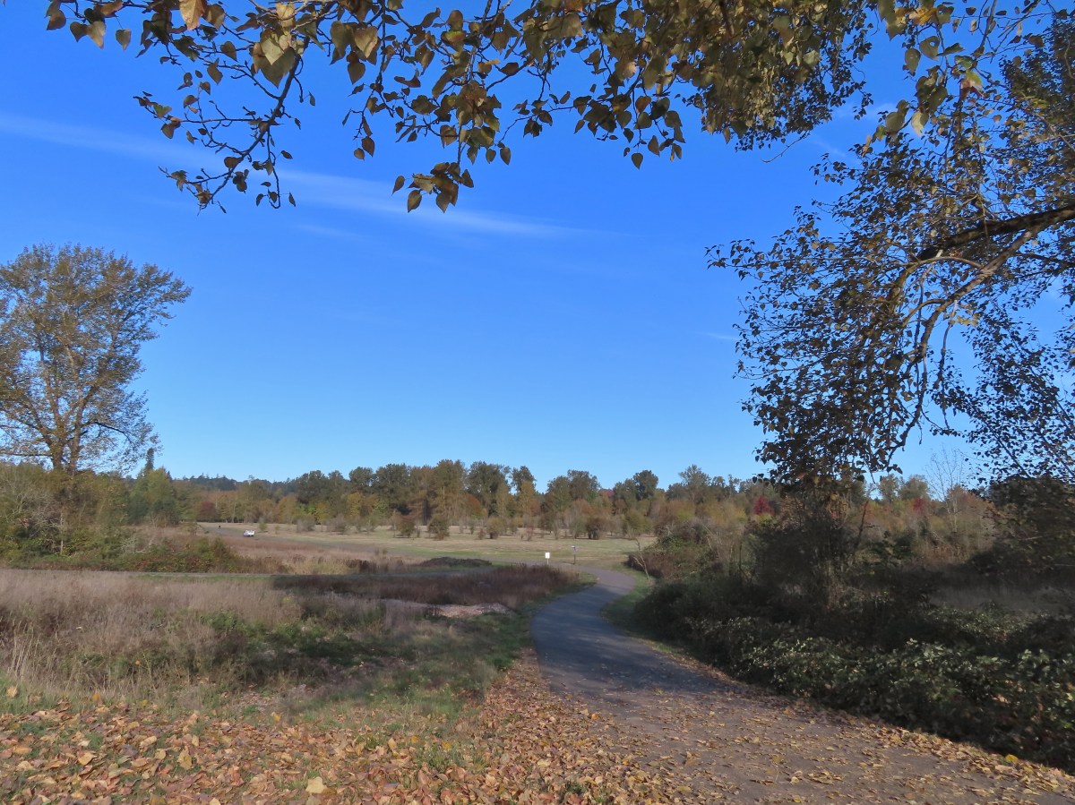
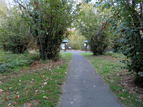
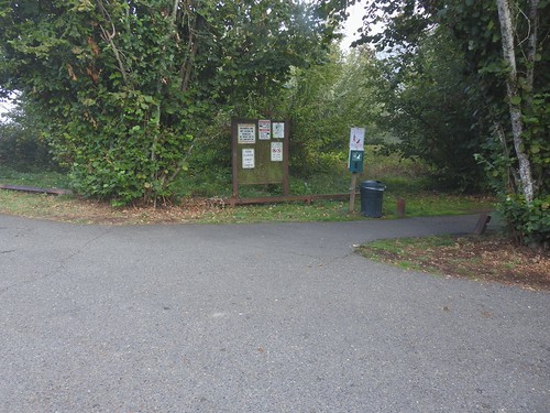
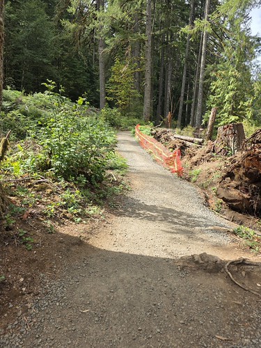
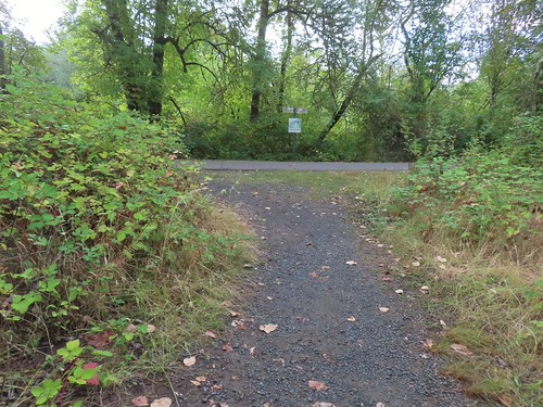
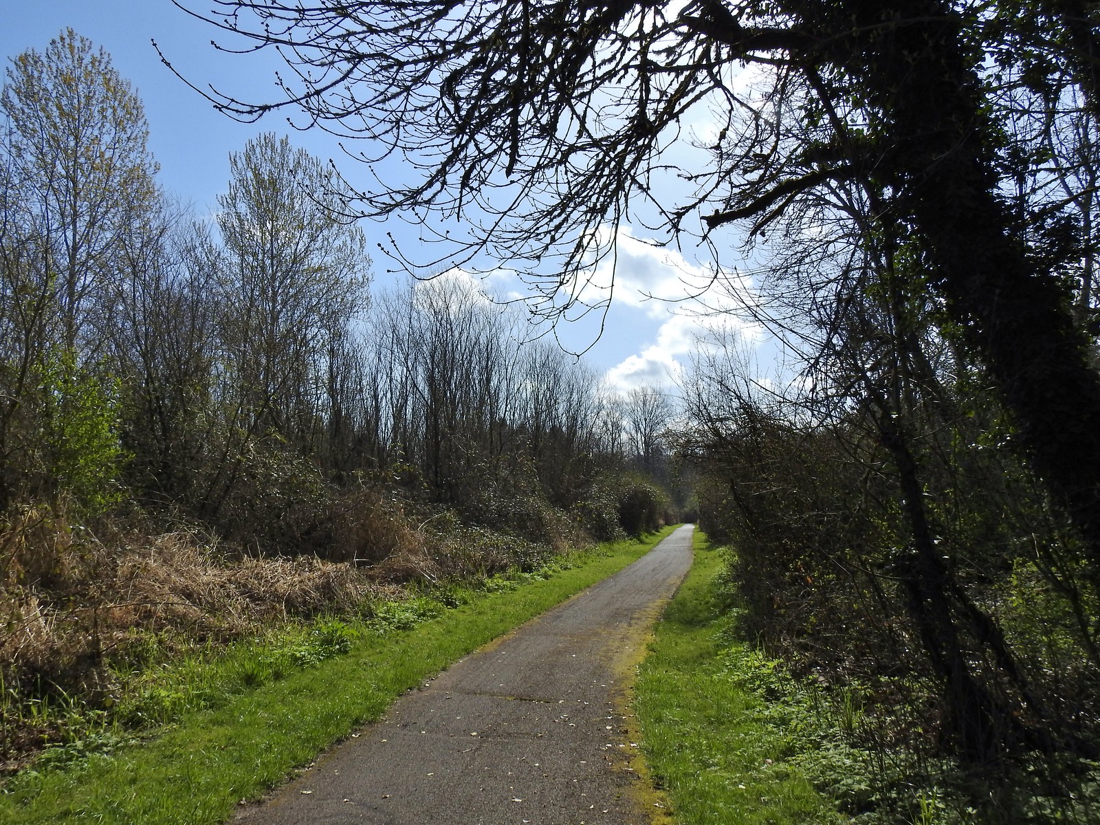
The trail from Lot 4.
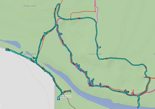
My plan was to check the slough for otters then proceed to Green Heron Slough where there always seems to be a good deal of wildlife. From there my plan, assuming my heel and hip cooperated, was to hit several of the other bodies of water where wildlife tends to hang out. My body cooperated and I wound up doing a counterclockwise loop past the fishing pond, Willamette Slough, and Oxbow Slough then returned to Lot 4 via Green Heron Slough. Along the way I visited the old cherry orchard and took a new to me path through the center of the orchard.
The new to me section through the orchard is the straight line at the top of the loop. This was a 7.5-mile route.
No otters on this day but there was still plenty of wildlife and excellent scenery. Here are some of the highlights.
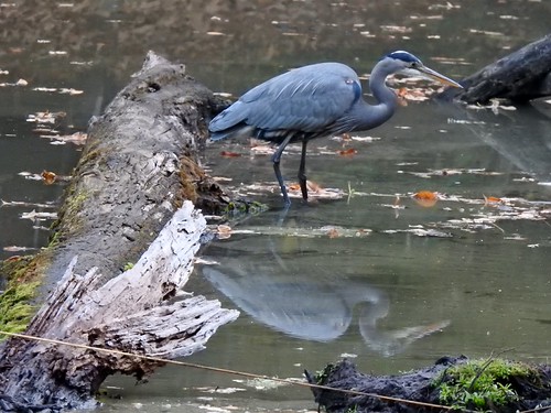
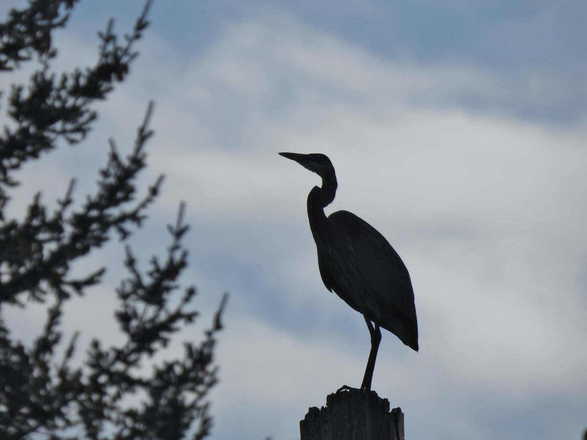
One of several great blue herons seen throughout the morning.
Deer on the far side of the slough from Faragate Road. This was the first time I’d seen deer in this area.
While I didn’t see the otters in the slough where we had before, this belted kingfisher was at the far end.
The leaves are really starting to fall now.
Another GBH in Green Heron Slough.
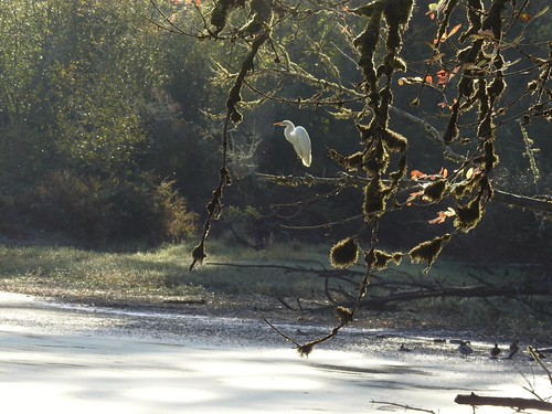
Egret
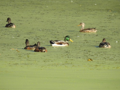
Mallards
Sparrow
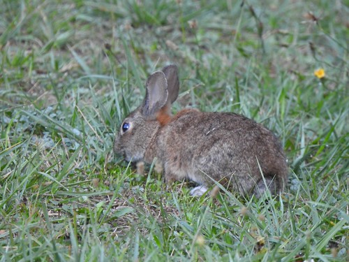
One of at least a dozen rabbits I saw.
Squirrel!
The perpetually flooded trail near the fishing pond. I was able to stay dry by walking on my heels today.
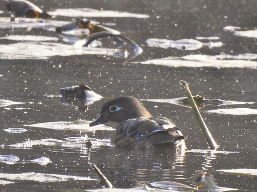
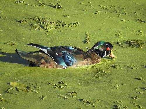
Wood duck in the fishing pond.
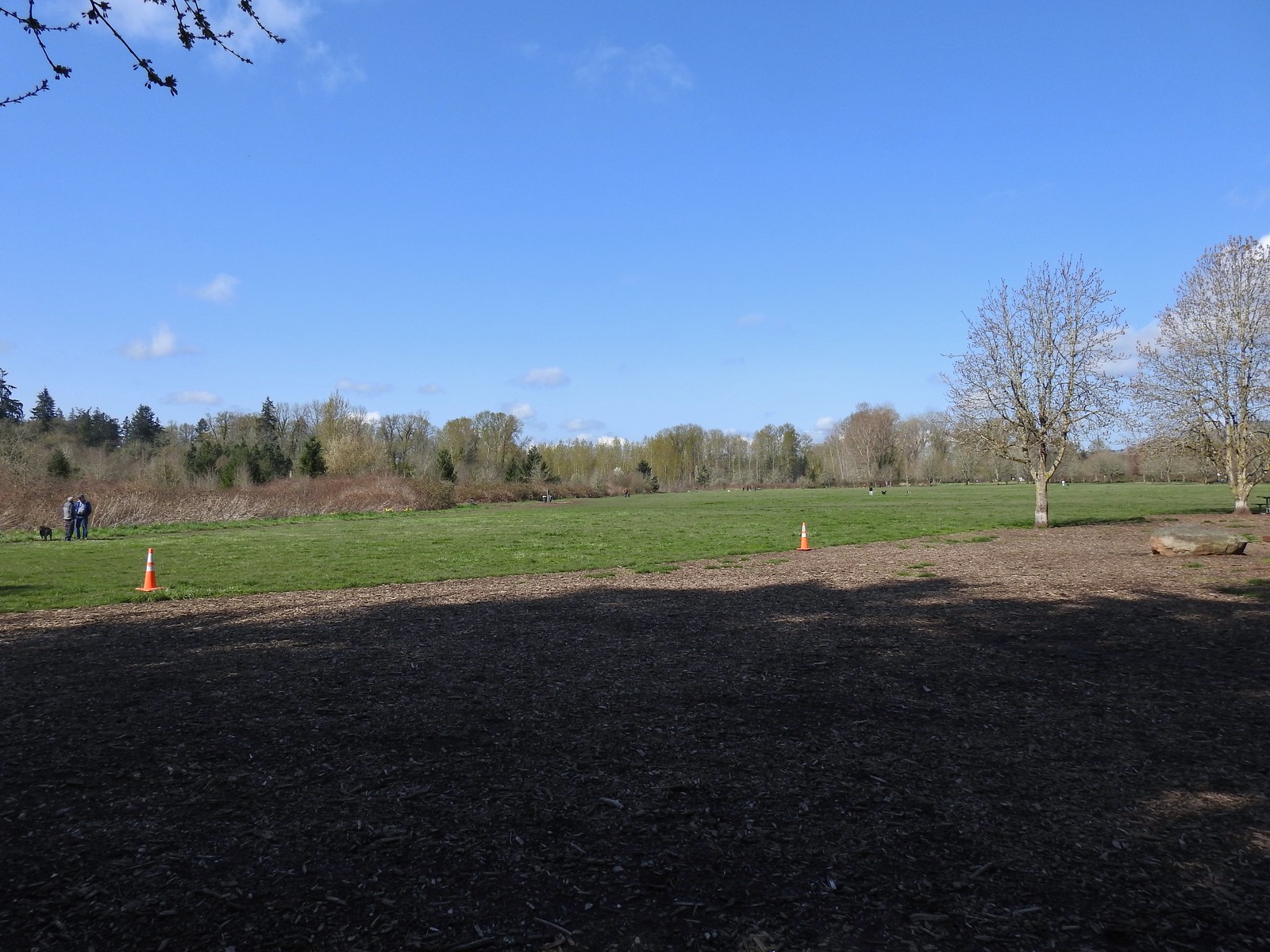
They mowed some of the fields.
Red-tailed hawk that was heading down to the field.
It didn’t get whatever it had dove for.
Nutria family
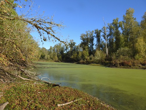
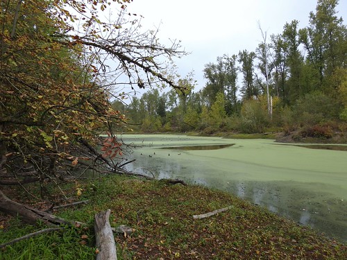
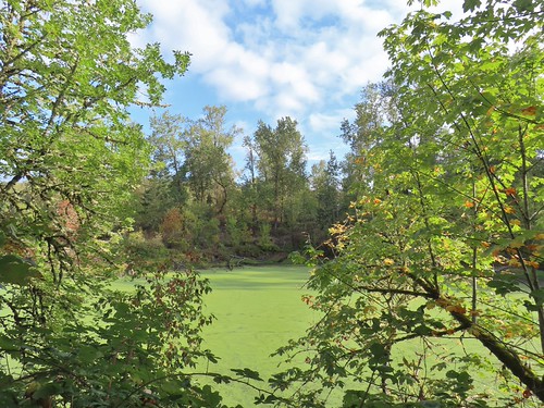
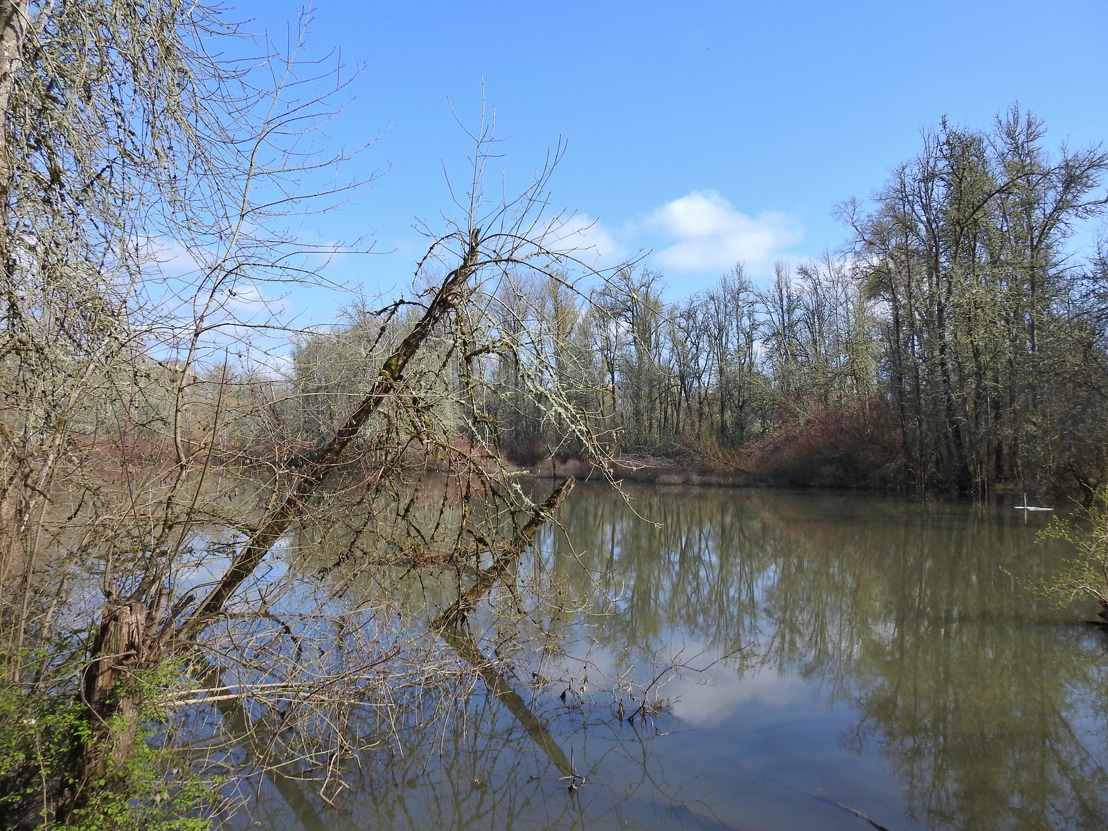
Willamette Slough
Black phoebe
Northern flicker
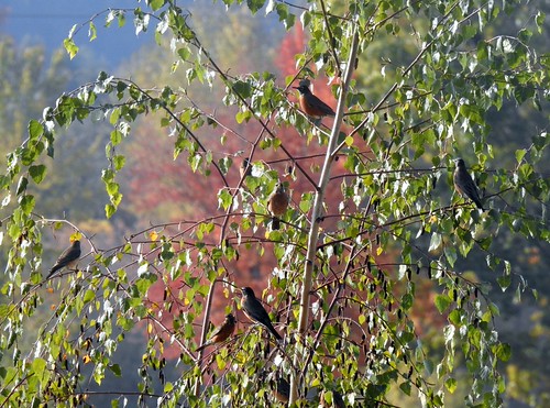
How many robins do you see?
Heading into the old cherry orchard.
Scrub jay
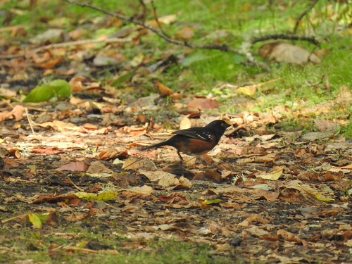
Spotted towhee
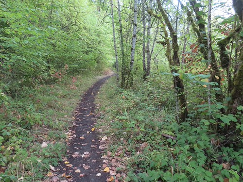
The new to me section of trail.
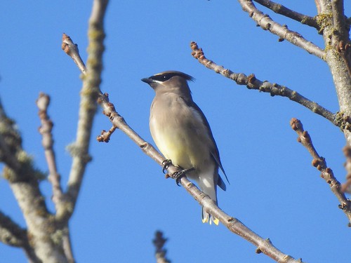
Cedar waxwing
An egret, mallards, and two greater yellowlegs in Oxbow Slough.
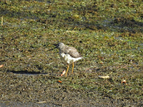
One of the greater yellowlegs.
Geese further out in the slough.
Egret, mallards, and a GBH.
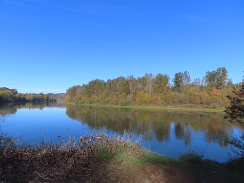
The Willamette River.
A greater yellowlegs and a turtle sharing a log in Green Heron Slough.
Geen winged teal and an American wigeon
Stellar’s jay
Still no otters today.
It was another nice day at the park. There were a number of other species of birds that I saw/heard but couldn’t get a picture of. The amount and variety of wildlife in the park makes every visit unique and provides a reason to keep returning. In addition to all the critters we’ve seen in the park mink, beaver, bobcat, and even cougar have been spotted at times here.
We had plans to head to Eugene in the afternoon to celebrate our son’s birthday with my parents. My heel was feeling well enough to attempt another short hike prior to meeting up with them, but then I woke up with a stiff right hip making it hard to even walk. We had planned on a short walk at Minto-Brown Island Park to once again try and spot an otter. After my morning PT routine and a round of anti-inflammatory medication, the hip had loosened up enough that walking actually felt better than any sedentary position.
We decided to give Minto-Brown a try and headed out a little before 8:30am to make the 15-minute drive to Parking Lot 4 on Homestead Road.
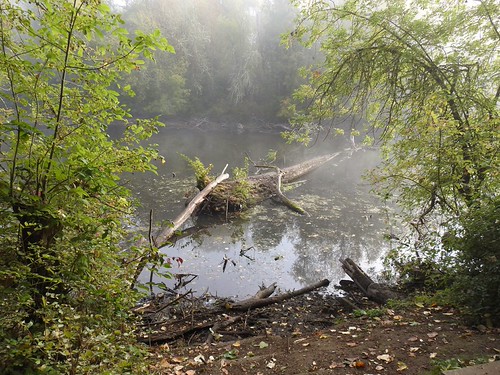
We checked the slough near the parking area for wildlife and spotted a pair of pied billed grebes.
Pied billed grebe in the fog.
After checking this section of slough we headed out to Homestead Road (which becomes Faragate St S) and followed it along the slough to a gated road where we turned right to cross the slough.
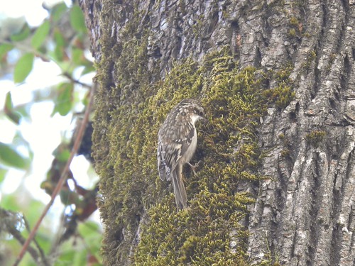
Brown creeper
We spotted this Great Blue Heron from the bridge over the slough. We had also heard some loud splashing in the water and Heather and seen a dark shape in the slough but couldn’t make out what it was.
After crossing the bridge we turned right on the Blue Heron Loop to visit the slough where several otter photos we’d seen had been taken and where I’d seen the Green Heron on my previous visit (post). We checked a number of viewpoints and spotted a lot of wildlife but once again no otters.
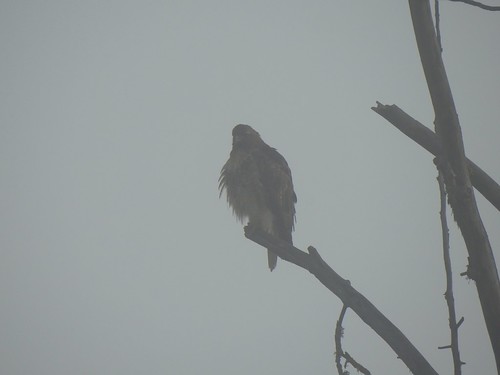
Hawk as the fog was burning off.
Great blue heron
Closer look at the GBH.
Wood duck
Mallards and American wigeons
Great egret
Closer look at the egret.
We watched it for several minutes as it moved around in the algae, occasionally sucking in some of the water and expelling it. I had to post a photo and video to the Friends of Minto-Brown Facebook group to figure out this was almost certainly a carp.
Killdeer
Greater yellowlegs
Sandpiper on the far side of the slough.
After striking out on otters here we detoured on the spur trail I’d taken during my previous visit to the backside of Oxbow Slough.
There wasn’t much happening here other than some wood ducks in the distance, but a photographer we’d seen a couple of times already was here and he let us know that there were often otters in the slough next to the bridge we’d heard the splashing from.
With this new information in hand we continued on the Blue Heron Loop and made our way back to the bridge.
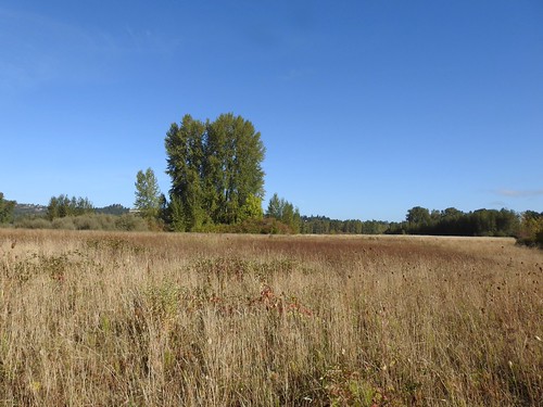
Field along the Blue Heron Loop.
Spotted towhee
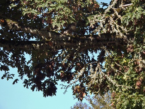
When we got back to the bridge we scanned the slough where we’d seen the heron earlier but still no otters. At this point we decided to try walking up Faragate St. along the slough to see if there were any other viewpoints of the water. There was really only one obscured view, but just as we were about to turn around a red-tailed hawk landed in a tree above the road.
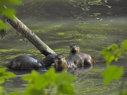
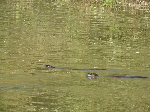
The hawk was a nice consolation prize, and we headed back toward Lot 4. However, as we were passing an obscured view of the slough I spotted three otters!
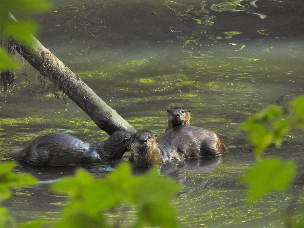
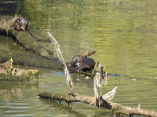
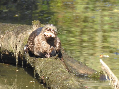
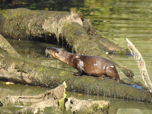
They spotted us too and swam off. We went back to the bridge for one last look and this time the otters were visible. There were at least four and possibly a fifth. Two of them were having what I decided was second breakfast.
We could have stayed and watched the otters for a long time, but my hip started hurting again while we were on the bridge, so we tore ourselves away. The good news is my heel felt much better during this 3.1-mile walk and the hip eventually loosened up again allowing me to enjoy the birthday celebration. Happy Trails!
Dotted line is today’s route.
It’s been a bit since our last post which is unfortunately due to a new (old) issue that I am now dealing with. While my PT has been seemingly progressing on my back, hip and left leg, my left heel suddenly decided to start giving me issues near the end of our hike to Bobby Lake (post) in August. The peroneal tendon, which I had an issue with back in 2017 (post). My heel stiffened up after that hike then improved through the week only to repeat the cycle over the next two weeks.
Following my outing to Minto-Brown Island Park on Labor Day (post) it flared up enough that I could not walk without a limp so I took some time off and worked on some exercises I was given at PT the day after that hike. While I took a couple of weeks off Heather was on her own and she made the most of it by heading out to Silver Falls State Park on 9/12 and to Duffy Lake on 9/19. I haven’t been able to convince her to write up her trips, and she takes about 1/100 of the photos I do but here are a few notable items from those trips.
Silver Falls 9/12 – She followed our 2025 route from the South Falls Parking Area (post) which was similar to a shorter loop she’d done without me back in March when my left leg issue kept me sidelined. In March she’d had to cut the loop short due to winter storm damage along the Rim Trail and returned via the Winter Falls Trail. This time around the Rim Trail was open but the Winter Falls Trail was closed due to a slide hazard.
South Falls in Sept.
South Falls in March.
Lower South Falls in Sept.
Lower South Falls in March.
Lower North Falls in Sept.
Lower North Falls in March.
Middle North Falls in Sept.
Middle North Falls in March.
North Falls (inaccessible in March)
Upper North Falls (inaccessible in March)
Repairs along the Rim Trail.
Storm damage
Looking down toward the Winter Falls Trail and the landslide.
Duffy Lake 9/19: Heather visited Duffy Lake then headed to Santiam Lake for a 10.8-mile out-and-back.
This was a shortened version of a hike we did in 2010 (post).
Vine maple in the colors of Autumn.
Duffy Butte from Duffy Lake
Three Fingered Jack from Santiam Lake.
California tortoiseshell joining her for a break at Santiam Lake.
Santiam Lake
It took until Thursday 9/18 before I wasn’t limping and a couple more days before I wasn’t feeling any discomfort on the outside of that heel. After a couple of days free from discomfort, I decided to try a short walk between an oil change and a PT appointment I’d scheduled on the first day of a staycation. After the oil change, I headed back to Minto-Brown hoping once again to find the otters that others have been sharing photos of. I parked in Lot 3 which is at the end of the park entrance road and headed left on the paved trail along Oxbow Slough then crossed the slough on a footbridge following pointers for the Blue Heron Trail. I forked right onto a dirt path when the Blue Heron Trail split.
Recent photos online had confirmed that otters had been spotted in the algae filled slough that some maps label the “Green Heron Slough” and this portion of the Blue Heron Trail offers a number of views of that slough. Before reaching those viewpoints though I turned left on a well-established but unsigned trail that appeared to lead into a meadow.
The path ended after a little less than 100 yards at Oxbow Slough.
There wasn’t a lot happening here outside of a log lined with wood ducks.
I headed back to the Blue Heron Trail and started checking out the various viewpoints in search of the otters. The first viewpoint produced nothing while the second provided various ducks, a belted kingfisher, a great blue heron, and a lone turtle.
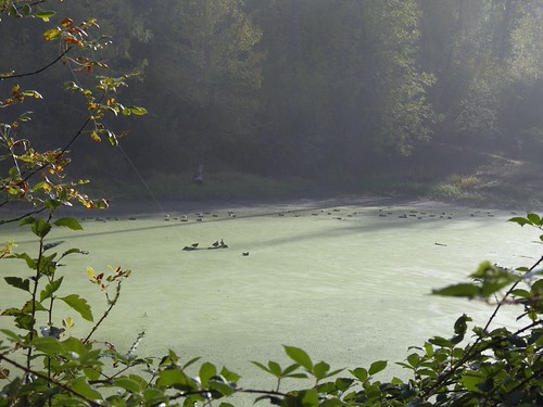
American wigeons and mallards.
Turtle on a log amid the ducks.
I continued on and after a couple more viewpoints and crossing a dry creek bed spotted another blue heron, a greater yellowlegs, and a turkey vulture from yet another viewpoint.
Turkey vulture
Great blue heron
Geater yellowlegs
American wigeon
Another angle of the turtle.
More wood ducks.
Still no otters and I was running out of slough. I continued on hoping to get a little better view of the wood ducks at the next viewpiont.
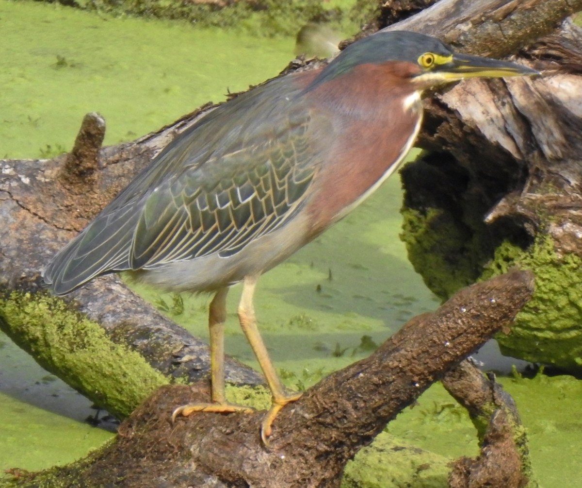
Moments after taking this picture something took off from the log that was just out of frame at the bottom of the photo. I instantly recognized it as a green heron, a bird that we had yet to see in person.
The green heron flying away.
I thought I’d missed my chance, but it landed in a snag not far back up the slough. I tried getting a photo, but I was looking toward the sun so the lighting was no good.
I slowly made my way back up the trail hoping not to scare the heron off before I was able to put the sun at my back. I wasn’t entirely successful but in a fortunate turn of events it flew back the way it had come and landed on another snag that actually provided me a better view.
The green heron is on the snag in the slough on the left.
I was able to take a good number of photos of the bird and while doing so a great blue heron landing in the middle of the slough.
No otters but seeing my first green heron was probably more exciting as we have seen otters before. After watching the heron for a good while I continued on leaving the slough behind but not the wildlife.
Downy woodpecker
Northern flicker
Rabbit
I turned right when I reached a paved path sticking briefly to the Blue Heron Trail. I stayed on pavement when the Blue Heron Trail turned left. While seeing the green heron was exciting what wasn’t exciting was that I was starting to feel a little pain on the outside of my left heel again. I took a look at the park map looking for the shortest path back to the parking lot. I wound up taking a left back onto the Blue Heron Trail when the paved trail curved right then made my way to the Brown Island Landfill where I had been on my previous visit. This time I turned right instead of left on the gravel roadbed then took a right when I reached the signed Orange Turtle Loop.
There weren’t as many small birds near the landfill as there had been on the weekend. I suspect the noise from the nearby heavy machinery had something to do with that.
Juncos
Scrub jay
Spotted towhee
Sparrow
Orange Turtle Loop
I followed Orange Turtle Loop and Shelter Parking Lot #3 pointers back to the parking area.
Trail signs and map near the Willamette River.
Willamette River
Willamette River
The hike wound up being 3.3-miles due to the combination of side trips to viewpoints and backtracking to get photos of the green heron.
The “Green Heron” slough is the water north of my track near the bottom with Oxbow Slough to the south.
I went home showered, had lunch, and changed for my PT appointment where I got another set of exercises to try and help with the heel. As I am typing this up the next day it’s a little sore but hasn’t stiffened up. It’s clear though that I’ll need to be patient with it so the trip reports may be sparse for a while. I do have a couple of ideas for non-trip report posts and maybe a forced hiatus from the trail will bring one or two of those to fruition. Happy Trails!
I headed out on my own on Labor Day as Heather stayed home to be there when the pile of items we’d gathered to be hauled away was picked up by a local junk removal company. I decided to stick close to home and headed back to Minto-Brown Island Park hoping to see some wildlife and hike a couple of sections of trail that I’d missed on my previous visits.
I parked in lot 1 and headed to Willamette Slough just as we’d done on our visit in July (post).
Female wood duck
Black phoebe
Song sparrow
Great blue heron
Belted kingfisher
The water level was low enough that it was just a little muddy getting to the platform.
View from the platform.
After visiting the viewing platform I headed for the Willamette River following pointers for the 5k loop.
Self-heal
Most of the junctions, and all of the major junctions, have maps and/or pointers.
Hardhack
Several formations of geese flew over during the hike.
Thistle
Squirrel dashing across the trail.
I saw at least a dozen rabbits throughout the day.
Looking across the Willamette River at West Salem.
Mallards on the river.
The first new section of trail came when I veered right onto a dirt trail where the paved path turned away from the river.
This section of trail is often flooded by water draining Oxbow Slough into the Willamette.
I took a spur trail which brought me to a view of the slough.
Mallard and a greater yellowlegs.
Mallards in the foreground with a pair of wood ducks behind.
Wood duck drake
I continued past the slough to a signed junction where I turned left on the Orange Turtle Loop after a quick detour down to the bank of the Willamette River.
The Orange Turtle Loop. I had been on this section of trail during a visit in April 2023 (post).
More signs that Fall is on the way.
The trail splits at the edge of a field with the Orange Turtle Loop turning right.
Today I turned left on a connector trail that was another section of trail that I hadn’t been on before.
After a third of a mile I came to another junction where I turned left back onto a trail I’d hiked before.
Just over 100 yards later I came to a paved trail where I turned right following pointers for Homestead Road.
I stayed on the paved path for 0.2-miles then turned left at an unsigned junction just before reaching another section of slough.
This short section of trail was also new to me.
After just 125-yards the trail joined the Blue Heron Loop at an unsigned junction where I turned right.
This portion of the Blue Heron Loop offers several short spur trails where views of the slough can be had.
Killdeer
Greater yellowlegs
Snail
I just missed getting a raccoon walking up this log. All I got was its back as it disappeared into the brush.
Wood duck log.
Female wood ducks
Wood duck drakes
There is a fawn and a doe in the center of the photo.
The fawn dashed into the trees, but the doe paused for a photo.
I continued past the slough until the trail joined the paved Purple Rabbit/10k Loop where I turned right to continue on the Blue Heron Loop.
I turned left in 200′ to stick to the Blue Heron Loop.
When the trail emerged at a gravel roadbed I turned left toward the Brown’s Island Demolition Landfill.
This stretch was full of small birds.
Downy woodpecker
Lesser goldfinch
When I arrived at the edge of the landfill I turned left.
White crowned sparrow
House finch and lesser goldfinch
California quail
I followed the gravel road around to the left onto pavement.
I stayed straight on this wide path for 0.4-miles to Homestead Road.
Northern flicker
Nearing Homestead Road.
Stellar’s jay at Homestead Road.
I turned left along the road then veered left to stay on the Purple Rabbit/10k Loop.
I stayed on this paved path across Pettijohn Creek then turned right onto an unsigned dirt trail.
Pettijohn Creek
I followed this trail for a third of a mile to another paved path where I turned left again.
Black-capped chickadee
After just 150′ I left the paved path and turned right onto the Green Deer Loop.
Spotted towhee
Aster
I had attempted this loop in April 2023 but was turned back by flooded trail. That wasn’t a problem in September.
Red-breasted nuthatch
Downy woodpecker
Hummingbird
The Green Deer Loop arriving at the junction with the Purple Rabbit/10k Loop.
I turned right here and had planned to head back to my car via the Yellow Duck Loop.
As I approached the footbridge over Oxbow Slough I ran into a couple that I had passed earlier going in the opposite direction. They mentioned that there were four otters out playing in the slough. I asked where and they referred to the trail that ran along the slough. I assumed they meant the Blue Heron Trail based on where we were at the time so when I got to the footbridge across Oxbow Slough I turned left.
Oxbow Slough
I took the Blue Heron Trail when it left the paved path and passed behind the slough again. I didn’t see any otters and got to thinking that there was probably too much algae in this area for otters. I checked a couple of the viewpoints then turned around and headed back to the footbridge.
Oxbow Slough from the footbridge.
I turned left after crossing the footbridge and then turned right onto the Yellow Duck Loop after a tenth of a mile.
The Yellow Duck Loop goes around the Dog Park. The trail is almost always partially under water and today was no exception.
The off-leash dog park from the Yellow Duck Loop.
I came upon a couple looking at something up in a tree which turned out to be a barred owl.
After watching the owl for a bit I continued on to Willamette Slough where I spotted another blue heron and a northwestern pond turtle.
The flooded section of trail.
The water wasn’t quite ankle deep and I was almost done with the hike so I simply splashed through and finished my loop.
Fishing dock
View from the dock.
I left the Yellow Duck Loop here to cross the park entrance road near Parking Lot 1.
There had only been 2 cars, including mine, when I started the hike.
My loop wound up being just under 10 miles with minimal elevation gain.
Red is today’s track and cyan is from July’s hike.
It’s nice to have a park like this just 15-minutes from home where you can take a short walk or a long hike and either way you’re bound to see some good wildlife. Happy Trails!
My brother and his families last full day visiting from Missouri was Saturday, so we wanted a nearby hike for the morning to give us more time to visit later in the day. We turned to nearby Minto-Brown Island Park where a family of otters had recently been seen. We were excited to have our niece join us for the outing.
We began our hike from Parking Lot #1 (closest to the park entrance).
Map at the parking lot.
We took the paved path from the parking lot across Willamette Slough then turned right along the slough on the Brown Squirrel Loop.
Willamette Slough
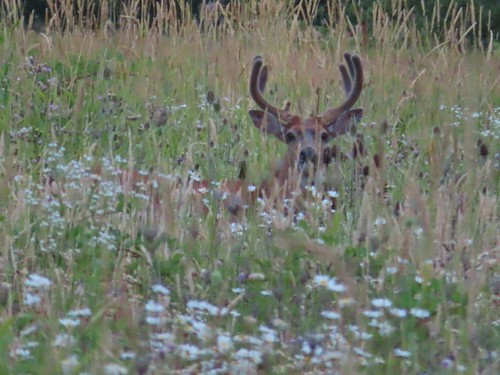
As we were passing between the slough on our right and a field on our left, we spotted a buck.
The otters had been seen in the slough, so we detoured to a couple of viewpoints where the slough widened. We failed to spot any otters but did see a number of ducks, birds, and a family of nutria.
When I first spotted something in the water, I got excited, but I quickly realized it was nutria and not the otters.
Unfortunately, the nutria are highly invasive, regardless the family was kind of cute.
The silhouette of a cedar waxwing.
Swallows
Great blue heron
Ducks
We took a paved spur to the right when the trail forked to get a couple more views of the slough.
This spur spends much of the year submerged.
I’m not sure when/if this viewpoint is accessible on dry ground.
More ducks but no otters.
We returned to the main path and turned right when we reached the Osprey Loop and followed this loop to the Willamette River.
Oregon grape with perennial peavine behind.
One of many rabbits we would see during our hike.
Hardhack
Common madia
Robin
The Willamette River
A heron and ducks on the far side of the river.
We continued along the river and stuck to the paved path when it turned away from the river.
Shortly after leaving the river we spotted not one but two does.
The first doe was coming up the trail toward us.
The second doe was in the brush to the right of the trail.
The second doe.
Yarrow and chicory
The path brought us to the Shelter Parking Lot (lot #3) where we left the Osprey Loop in favor of the Blue Heron Loop. We followed the paved path across Oxbow Slough and continued to a split in the trail where the Blue Heron Loop continued on a dirt path to the left.
Female wood duck and ducklings in Oxbow Slough.
Coming up on the split in the trail.
Woodpecker
Wasp nest
Oxbow Slough
Goose and ducks at Oxbow Slough.
Great blue heron
When the Blue Heron Loop came within sight of the paved Purple Rabbit Loop we cut over to that path and turned left.
This trail brought us to Homedale Road which it briefly followed before veering away to complete a loop around Oxbow Slough.
Bindweed
We were slowed a bit on this stretch by the presence of ripe thimbleberries.
Old abandoned car along the path.
Squirrel
Self-heal
We turned right on the Yellow Duck Loop then took a left on a paved path along the western end of the dog park which brought us to the entrance road where we turned right.
An upside-down cedar waxwing.
We followed the entrance road back toward the entrance to cross the road on the Brown Squirrel Loop and returned to our car. This hike was 6.8-miles with minimal elevation gain.
Despite not seeing the otters we all had a good time. There was plenty of other wildlife to see and some tasty ripe berries to snack on. We were back home before 10am which gave us plenty of time to visit before we had to say goodbye to my brother’s family. Happy Trails!
After missing out on some nice weather due to an illness more good weather on Veterans Day offered me an opportunity to hit the trails. Heather unfortunately didn’t get this holiday off, so it was another solo outing for me.
I decided to head back to Silver Falls State Park and check out three more of the backcountry trails that I had yet to hike. These were the Racket Ridge, Racket Ridge Connector, and Roemer’s Meadow trails. I had two options for trailheads, Howard Creek or North Falls. The Howard Creek Trailhead provided the shortest access to these three trails, but I would need to use a horse ford to cross the South Fork Silver Creek to do so. Starting at the North Falls Trailhead eliminated the need to ford any creeks, but it would add 2.4-miles to my planned route as I would need to use a 1.2-mile section of the Perimeter Trail to reach the Roemer’s Meadow Trail.
I chose the longer, drier, route and parked at the North Falls Trailhead.
I crossed the North Fork Silver Creek using the footbridge near the signboard then turned left passing under Highway 214 to reach a junction with the Perimeter Trail.
I hiked the Perimeter Trail back in 2022 and had passed the upper terminus of both the Roemer’s Meadow and Racket Ridge Trails on that big loop. From the junction it was a 1.1-mile climb to the Roemer’s Meadow Trail and another 1.9 to the Racket Ridge Trail. My plan was to go all the way to the Racket Ridge Trail and follow it downhill to its junction with the Roemer’s Meadow Trail. Before taking the Roemer’s Meadow Trail back up to the Perimeter Trail, I would continue on the Racket Ridge Trail to the Racket Ridge Connector Trail and then follow that trail 0.6-miles to the Nature Trail then turn around.
The Perimeter Trail was in good shape and as is always the case the Silver Falls Backcountry was beautiful.
The Roemer’s Meadow Trail junction. The Perimeter Trail turns to the left here.
The Moon above the treetops.
No flowers this late in the year, but there were plenty of mushrooms.
Arriving at the junction with the Racket Ridge Trail.
Map at the Racket Ridge junction.
I turned right onto the Racket Ridge Trail and followed it downhill 2.2-miles to the Roemer’s Meadow Trail.
A few of the deciduous trees still had their leaves.
Ruffed grouse
Coral fungus
The trail briefly followed this road.
The junction with the Roemer’s Meadow Trail which is to the right.
South Fork Silver Creek next to the Racket Ridge Trail.
Shortly before I reached the Racket Ridge Connector Trail, I ran into a doe coming up the trail toward me.
This was clearly the doe’s trail. She was not in the least concerned by my presence and she nibbled on leaves as she continued toward me. In an attempt to stick to Leave No Trace Principles I backed up a little and she just kept coming. Luckily the road that I had crossed was still nearby so in the end I cut up through some brush and stood on the road as she passed by on the trail.
Back on the trail I quickly came to the ford which was at the junction with the Racket Ridge Connector Trail.
I followed the Racket Ridge Connector to the South Falls Campground and its junction with the Nature Trail.
Another road crossing.
The trail followed along the road to cross the South Fork Silver Creek.
Trail pointer at the junction.
I had been at this junction three previous times, most recently in October during my Howard Creek Loop hike (post) making it a good spot to turn around.
I returned to the Roemer’s Meadow/Racket Ridge Trail junction and turned onto the Roemer’s Meadow Trail which immediately crossed a road.
Roemer’s Meadow Trail straight ahead.
After a brief climb the trail arrived at Roemer’s Meadow which it skirted before reentering the forest.
This was another nice trail with a couple of steeper sections which utilized switchbacks to climb those portions.
The trail made several access road crossings.
Arriving back at the Perimeter Trail.
I turned left onto the Perimeter Trail and followed it back down to the junction near Highway 214.
Since it was still before 11am when I arrived back at the junction I decided to visit Upper North Falls and turned right. It was 0.3-miles to the falls.
Upper North Falls
After visiting the falls I headed back toward the trailhead, but it was still before 11am when I was passing by so I decided I should visit North Falls as well. I passed the footbridge and headed for the junction of the Rim and Canyon Trails. On my way to that junction I decided why not just do the three-mile loop using the Rim, Winter Falls, and Canyon Trails. I took the Rim Trail just over a mile to the Winter Falls Trailhead.
Pointer at the Winter Falls Trailhead.
I took the Winter Falls Trail down to Winter Falls which was flowing nicely.
These falls all but dry up during the summer months.
I followed the Winter Falls Trail across the North Fork Silver Creek then turned right on the Canyon Trail.
It was 0.3-miles to Twin Falls then a little over a mile back to the trailhead.
Twin Falls
North Falls
From behind North Falls.
Cars parked at the trailhead ahead on the left.
This wound up being a 14-mile hike with approximately 2000′ of elevation gain. Had I skipped the waterfalls it would have been closer to 10.5-miles with a little over 1600′ of elevation gain.
During my time in the backcountry I only saw two mountain bikers. (Twice since they were riding the Racket Ridge/Roemer’s Meadow Loop in the opposite direction I was hiking.) There were quite a few more people on the waterfall trails but it didn’t feel too crowded. Now that I’ve added the Racket Ridge, Racket Ridge Connector, and Roemer’s Meadow trails to those that I’ve hiked in the park the only trails that I haven’t hiked is the downhill only upper section of the Catamount Trail, half of the Newt Loop, and parts of the paved Bike Path. Given the park is only 45-minutes from Salem I’m sure I’ll have the opportunity to check those sections of trail off at some point down the road. Happy Trails!
Instead of going out on a typical hike this week we had the chance to a join a small group of my co-workers at the Enchanted Forest theme park. The family-owned park opened in 1971 is located just south of Salem along Interstate 5. Enchanted Forest has been a part of countless Oregonians childhoods, and the nostalgia felt for the park makes it fun to revisit as adults.
The park is open seasonally, generally starting with Spring Break and running through the last weekend in September. At both the beginning of their season and in September the park is only open on weekends. An entrance fee allows guests to explore the park including several interactive attractions and shows. Other rides require tickets which can be purchased when entering or at booths around the park.
Upon entering Enchanted Forest the first attraction is Storybook Lane which begins at a castle to the left of the entrance.
To the right are restrooms, food options, and gift shops.
Storybook Lane is a series of fairy tale themed exhibits, many of which are interactive such as a rabbit hole based on Alice in Wonderland, a crooked house, and a slide based on the Old Lady Who Lived in The Shoe.
The rabbit hole exit.
Inside the dwarves mine.
Entrance to the slide which we all went down.
Outside of the Crooked House. Inside the floors are indeed crooked.
After winding up the through Storybook Lane the next area is the western themed Tofteville.
To the left (north) of Tofteville is the Haunted House which requires tickets.
Before we headed into the Haunted House we headed for the Comedy Theatre which is just a little past the Haunted House. Since 1973 Enchanted Forest has put on musical comedies which provide some good laughs and a good chance to rest tired feet.
This year’s performance is Jack and the Beanstalk.
There is an area of kiddy rides just beyond the theatre including a little train, bumper boats, a small Ferris wheel, and frog hopper. There is also a bumper car ride in that area with a 42″ height requirement. All of these rides require tickets.
We didn’t have any kiddos with us so after the performance we went through the Haunted House then back through Tofteville to the Old European Village area.
One of the displays inside the Haunted House.
The entrance to the Challange of Mondor, another ticket ride. This ride is similar to Buzz Lightyear in Disney Land where a car takes you through the ride while you try and hit targets with a laser gun. Heather and I were outdone by Elizabeth in our car while Mary Ann took top honors in the other car.
After making our way through the Old European Village we stopped into the Fantasy Fountains Water-light Show.
Inside Pinocchio’s Playhouse.
This free show repeats every 15 minutes inside the Jolly Roger Inn where guests can get pizza, popcorn, PB&J Sandwiches, other snacks, and drinks.
The water show is actually pretty relaxing, and another good excuse for a break from walking. After our break here we headed back uphill (the park is located on a forested hillside) to the Big Timber Log Ride. The log ride is the most thrilling ride in the park and there was about an hour wait time. (I didn’t actually check the time, but it seemed to go pretty quickly.)
Waiting in line. There are a number of warnings that riders will get wet on this ride. Ponchos are available for purchase at ticket booths and gift shops for those who want to avoid this.
The final drop.
This is the main source of soaking although there is a smaller drop before this where some water will likely hit you.
Heading up.
Members of our group in the flume below us.
I’m pretty sure I wound up the wettest of our group with Heather a close second. The good news was that we were wearing hiking clothes which are designed to dry quickly. After the log ride my coworkers headed out, but Heather and I stuck around for the Ice Mountain Bobsled Roller Coaster.
The Ice Mountain Bobsled is the runner up to the log ride for thrill factor. It was a 40-minute (or so) wait for the bobsleds.
I’m old enough to remember when the bobsleds were introduced in 1983 (I was 10). The ride is still fun as an adult however there are a couple of sudden stops/slowdowns that can be a bit jarring.
We had both gotten hungry standing in the bobsled line so after the ride we headed back down through the Old European Village to Gretel’s Grill and grabbed a bite to eat. After eating we debated on sticking around a little longer or heading home to our cats. The cats won out and home we went. We’d had a lot of fun as we always do anytime we have an excuse to visit this local treasure. Happy Enchanted Trails!
Overnight and morning rain showers delayed day 3 of wildlife week but by 9am things were starting to clear up. With the later start I had decided it would be the day I visited Baskett Slough National Wildlife Refuge. It is the closest refuge to our home in Salem, just under 20 minutes, and I was only expecting to do a 5-to-6-mile hike meaning I’d likely still be home around Noon. This was my sixth visit to the refuge (2010, 2020, 2021, 2023, 2024) and I was looking to do something a little different during this visit. Looking at the refuge map and Google Earth there was a possible route/trail around the base of Baskett Butte along it’s west and south sides and my mission today was to check it out. I wound up with a 5.5-mile lollipop (with a short handle).
You can actually see some of the route I explored on the left side between Parvipes Marsh and the butte and at the bottom of the picture wrapping around the butte.
It might be wildlife week but for the first half mile I saw more wildflowers than wildlife. Manroot
Camas
Plectritis
Checkerbloom
Tolmie’s mariposa lilies
My first non-flying bird wildlife sighting was a doe from the saddle on the butte.
After watching her for a moment I started to move and noticed two more deer on the other side of the trail in the woods.
Morgan Lake with a bit of Moffitti Marsh to the left.
Columbine
Iris
Robin
Sparrows
Gold crowned sparrow
The grass was low enough that the lake was fairly visible. Later in Spring you’re lucky to see any water from the trail.
Not a great picture due to the distance and light, but there are a couple of ruddy ducks to the left hanging out with some ring-necked ducks.
Mallards
American coot
Gadwalls
Buffleheads
Common yellowthroat
At the end of Morgan Lake (by the sign above) I started scanning the wetland below for a bittern. I’ve heard them in the area before and had them fly off before I could get a picture, but I was usually coming from the other direction. This time I had the high ground, and it made a difference. Looking for a bittern.
American bittern. I could only see the bittern from a very short section of trail and as soon as I lost a little elevation it disappeared from sight. It never flew off, but I couldn’t see it even knowing where it was.
Following the trail next to Smithfield Road.
Lots of red-winged blackbirds near the trailhead.
Finch
Heading back toward Baskett Butte and Moffitti Marsh.
Northern flicker
Moffitti Marsh
American wigeons
Female common yellowthroat
Spotted towhee
I watched a crow chase off a hawk that had apparently gotten too close.
The official trail heads up the hill to the left. I veered right just beyond the trail sign pointing toward Moffitti Marsh.
I followed tire tracks from the refuge vehicles through the muddy grass. It wasn’t the easiest walking, but it wasn’t too hard to follow the tracks.
Lilac
Parvipes Marsh ahead to the right.
A refuge tractor was a little behind me so when I came to a “T” junction with a clear but less worn track heading uphill to the left I turned that way. The tractor turned right and drove over a dike at the end of Parvipes Marsh to a field on the other side.
Deer farther up the hillside.
The track I was on turned to the right and traversed the hillside around the butte.
This appears to be balsamroot. There were just a couple of patches on the SW side of the butte.
Cottonwood Pond
Buttercups and miniature lupine
Meadow checker-mallow
Lomatium and plectritis
South Slough Pond
I was a bit surprised to find a bench along this route given it isn’t shown as an official trail.
Grass pea
More checkerbloom
Golden paintbrush
The path I was on was leading toward Coville Road and I could see the trailhead, but I hadn’t been to the overlook on Baskett Butte yet. In 2023 I had come down from the overlook on a trail that connected up with the track I was on, so I kept watch and then turned uphill when I spotted the tread. If I hadn’t been looking for the tread I don’t think I would have noticed it.
Lupine
Another Tolmie’s mariposa lily
Western meadowlark
The overlook ahead.
The obligatory photo from the overlook.
It was a steep climb up to the overlook and in hindsight I was wishing I had done the loop in the opposite direction. I had opted not to do that though because I wasn’t 100% this route was going to work. After a brief break at the overlook I headed down to the trailhead on the official trails.
Lots of patches of plectritis on the butte.
Ground squirrel
Swallow
Before heading home I drove up Coville Road to the parking area at Cottonwood Pond since I had seen a lot of birds on the water during my hillside traverse. Baskett Butte from the Cottonwood Pond parking area.
Mallards
Northern pintails
Northern shovelers
Lesser scaup. They look a lot like ring-necked ducks only without the ring.
Ring-necked ducks
Nap Time.
Another nice day at a wildlife area. In addition to the photographed subjects a bald eagle, Bullock’s oriole, goldfinch, turkey vulture, and Canada geese all flew by me but refused to pose for a picture. The next couple of days are forecast to be sunny before more showers arrive on Friday in time for the weekend. Hopefully I will have some cloud free morning light over my next couple outings. Happy Trails!
For day 2 of my “Wildlife Week” vacation I returned to Ankeny National Wildlife Refuge. This marked my fourth visit to this refuge which is just under 30 minutes from Salem (2014) (2021) (2022). For this visit I parked at the Eagle Marsh Trailhead and hiked a total of 10.5-miles visiting Eagle, Teal, Willow, Mallard, Egret, Pintail and Killdeer Marshes as well as Mohoff, Wood Duck, Dunlin and South Ponds. The route included two short road walks along Buena Vista and Wintel Roads.
My “sunrise” start was once again under a canopy of clouds making pictures of the numerous ducks and other birds difficult during the lollipop loop past Eagle Marsh and around Teal and Willow Marshes.
Ring-necked ducks
Much of the area, and most trails, are closed between October 1st and April 1st each year.
Ring-necked ducks and a very out of focus pied billed grebe.
Willow Marsh
Northern filckers
Geese
Teal Marsh
Pied billed grebe
Common yellowthroat
Pair of bald eagles in the snag.
One of the eagles.
I believe this is a greater yellowlegs.
Bufflehead
Green-winged teals
Killdeer
Leaving Eagle Marsh. Even over an hour after sunrise there wasn’t much light.
A 0.2-mile walk to the SW along Buena Vista Road brought me to the start of the dike trails at Mohoff Pond and Mallard Marsh. I took the dike between the two and followed it to a 4-way junction between Mohoff Pond, Mallard Marsh, Egret Marsh, and Pintail Marsh.
Robin
The mudflats at Mallard Marsh were busy.
Green-winged teals and several species of shore birds. I think the darker, larger birds are short billed dowitchers, the smallest are sandpipers and there is one with a black mark on its underside which may be a dunlin.
Better look at the short billed dowitchers.
A little better look at what I think might be dunlins.
I see you.
This American bittern saw me way before I saw it. It had flown up earlier and landed in the vegetation and even though I watched where it landed, I couldn’t make it out until it took flight again.
Savanah sparrow that appears as annoyed with the bugs as I was.
Not a great photo but there is a northern pintail lower right.
A sandpiper, my guess is a least sandpiper.
American wigeons. Another not great shot but they were all sticking close to the far shore of Mallard Marsh.
Mallards hanging out at Mallard Marsh.
Nearing the 4-way junction.
At the junction I went straight passing between Egret and Pintail Marshes. This was the first time I’d taken this route.
Northern shoveler
I made my way to the Pintail Marsh Trailhead and then road walked another 0.3-miles east along Wintel Road to a small pullout along the Prairie Extension Trail. Pintail Marsh from the trailhead along Wintel Road.
Cinamon Teal
I veered right on the Prairie Extension’s grassy tract.
Camas
Hawk
Song sparrow
Spotted towhee
Common vetch
After two tenths of a mile on the Prairie Extension I noticed a hiker symbol marking the Woodland Loop Trail on the right.
While this trail has theoretically been there on my previous visits it hasn’t always been obvious or passable. Storm damage and Spring flooding had kept me off this trail until today. The third of a mile trail passes through a dense and damp woodland before returning to the grassy track near the end of the Rail Trail boardwalk.
Avens
Western meadowrue
Obstacle
Newer looking bridge.
Older bridge.
End of the Woodland Loop.
The boardwalk to the left.
I turned right and hiked around Dunlin and Killdeer Ponds then made my way back to the Rail Trail boardwalk. There was some commotion at the SW corner of Dunlin Pond caused by several bald eagles having a heated conversation. The one trying to land was apparently not invited to the party.
There are 3 immature and 2 adult eagles in the trees. Then there was the juvenile that wasn’t welcome and possibly another juvenile that had been flying around. I was having a hard time keeping track of just how many there were.
After tearing my focus away from the eagle meeting, I watched a northern harrier hunt in the field opposite of Dunlin Pond. Grey ghost
Dunlin Pond
These may be the two juveniles that were not allowed at the meeting.
A nearly dry South Pond on the right after having looped around Killdeer Marsh.
The start of the boardwalk.
I didn’t see much of anything along the boardwalk (which is typical) until near the end when things picked up near Wood Duck Pond. Dove
Song sparrow
Wood ducks
Mallard
Swallow
Cinnamon teal
I turned right at the end of the boardwalk and took the Prairie Extension back to Witnel Road and then hiked back to the Pintail Marsh Trailhead.
Woodpecker
Pintail Marsh (all the black specs are insects)
I went left along the marsh and stayed left at junctions to pass Mohoff Pond and make my way back to Buena Vista Road.
Female red-winged blackbird
Male red-winged blackbird
American coot
The highly invasive American bullfrog.
A good look at the size difference between a Canada goose (left) and cackling geese.
Sunning snake
Canada goose
I walked the road back to Eagle Marsh where a great blue heron was hanging out next to the overlook.
The heron’s head between the interpretive signs.
Ankeny has never disappointed. I always see a lot of wildlife, but getting good pictures without a professional camera and telephoto lens is difficult given the size of the ponds and how easy it is for the birds to put a good deal of distance between people and themselves. In addition to the wildlife included in the post I also saw an osprey, a coyote (just before pulling into the parking area), a scrub jay, and numerous small birds that would not cooperate for photos. All in all, it was a great addition to Wildlife Week. Happy Trails!
For several years Heather has volunteered with our local running store, Gallagher Fitness Resources, Princess Steps, a Women’s Beginning Walking Running Clinic. They meet on Tuesday nights but have “homework” walks throughout the week which she and I have been doing together. The longer walks are set for Saturdays and for three of the last four weeks we’ve taken those walks at Minto-Brown Island Park. The park has also been part of a couple of urban hikes that we’ve taken in previous years (2017 & 2020).
Despite the numerous visits there were still sections of trails that I hadn’t been on. I decided to use my second day off of work to check a few of those off my to-visit list. Minto-Brown is even closer to our house than Baskett Slough Wildlife Refuge which I’d visited the day before (post). In fact, it’s less than a mile away as the crow flies, but it is on the other side of the Willamette River so I had to drive a little over 3.5-miles to Riverfront Park where we’d been starting all of our walks.
Heather’s plan from the walking group had us increasing distance each week starting with 5.3 miles on 3/19 then 6.6 on 3/25 and 9 miles on 4/8. (Heather wanted more hill practice before the hiking season and since Minto-Brown is mostly flat we did a 7.5 mile “hilly” hike through the West Salem neighborhoods on 4/1.) For this visit I was planning on going a little further again by visiting Eola Bend County Park which borders Minto-Brown to the NW along the Willamette River. I wasn’t sure what my actual route would be though. Minto-Brown is full of both pave and dirt trails, some of which parallel one another just feet apart. Numerous loop options are possible, but closure due to flooding or nesting birds can block access to certain trails at times. All of the visits this year started the same as we first passed the Gerry Frank Salem Rotary Amphitheater in Riverfront Park and took the Peter Courtney Minto Island Bridge over the Willamette Slough and into Minto-Brown Island Park on the Minto-Island Conservation Trail. The amphitheater and bridge on 3/19 23.
The amphitheater and bridge on 4/14/23.
On the first three visits we took the first paved right (one mile from Riverfront Park) and stayed right at the next junction to walk along the Willamette River and eventually arrive at the Lot 3 Trailhead. On this final visit I was unable to access the path along the river due to high water from recent rains so I forked left on a gravel that is often closed during bald eagle nesting season. Wetland near the bridge on 4/8.
The wetland on 4/14.
Signs at the 2nd junction – 3/19.
The path to the Willamette River on 3/19.
The path on 4/14.
April 8th along the Willamette.
April 14th on the inland gravel path.
Beyond Lot 3 is where our visits began to differ. On our first (shortest) visit we continued South from the lot and took the second left (Brown Squirrel & Yellow Duck Loop) looped around the South and East ends of the Dog Park to Lot 2 where we crossed the entrance road and followed the 10k path back to the junction where we had taken our first right that morning. From there we retraced our steps back to Riverfront Park.
For the second hike we continued South from Lot 3 then forked right and crossed Oxbow Slough on a footbridge before turning back after another 0.75-miles at a “T” junction with the Blue Heron, Purple Rabbit, and 10k Trails. We retraced our steps, passing the shared Squirrel & Duck Loop section that we’d taken the previous week turning instead at the next right (We were coming from the opposite direction as the previous week. This was also part of the Yellow Duck Loop and took led us along the North side of the dog park to Lot 2 where we turned left and again followed the 10k path back as we had the week before.
On our third outing we followed our route from the week before to the “T” junction but turned left and continued on the shared Purple Rabbit/10k Loop to return to the junction near the bridge over the slough. This time we returned through Lot 3 taking the right fork of the Red Osprey Loop at the North end of the lot. This loop brought us through an open field with an old cherry orchard to the 10k Loop where we took a left and followed the familiar route back to Riverfront.
My route was most similar to our third outing. It varied in that I had to stay inland instead of hiking along the river and I turned onto the dirt Blue Heron Loop path shortly after crossing the bridge over the slough. The Minto-Island Conservation Trail (Used during all four hikes.)
Oxbow Slough is accessible near Lot 3. Oxbow slough 3/19.
April 14th
Just South of Lot 3 the paved path is shared by the 10k, Purple Rabbit, Blue Heron, Green Deer, Yellow Duck and Brown Squirrel Loops.
The footbridge over Oxbow Slough is part of the 10k, Blue Heron, and Purple Rabbit Loops.
The Blue Heron Loop ran parallel to the paved path and at times nearly touched. Blue Heron Loop running parallel to the 10k/Purple Rabbit Loops.
Field along the Blue Heron Loop
The biggest difference, and most of the extra mileage came when I continued straight toward the Brown’s Island Demolition Landfill when the Blue Heron Loop turned left. At the landfill I turned right and followed a gravel roadbed around it to the Orange Turtle Loop onto which I turned right following counterclockwise into Eola Bend County Park. The “T” junction where the 10k/Purple Rabbit Loops turn left from the Blue Heron Loop.
Most of the junctions are well signed with maps which helped keep me on track.
Willamette River from the Orange Turtle Loop.
Orange Turtle Loop
The boarder between Minto-Brown Island Park and Eola Bend County Park.
A bit of the history of Eola Bend County Park.
Nice map of the Willamette River watershed.
Eola Bend County Park
I took advantage of this picnic table to take a short break.
After completing the Orange Turtle Loop I went back along the landfill (Admittedly one of the least exciting things to experience on a hike.) passing the path I’d arrived at the landfill on and continued just over a tenth of a mile on the gravel road which brought me to the end of a paved road at the landfill. The landfill behind the map.
Arriving at the road.
I turned left here and in less than a tenth of a mile was back on the Purple Rabbit/10k Loop which uses a 0.3-mile section of the road. The 10k/Purple Rabbit Loop on the left.
I was now back on the route of our third visit and followed the Purple Rabbit/10k Loop just over a half mile to a junction with the Green Deer Loop, with a short detour to a bench along Oxbow Slough.
The Green Deer Loop junction.
I made my one mistake of the day here thinking that I could turn right (we’d gone left the week before) and do this loop. Just over 0.4-miles in though I came upon a small pond in the middle of the trail.
I backtracked to the Purple Rabbit/10k Loop and again followed our third visit route until coming to the Brown Squirrel/Yellow Duck/10k Loop where I turned right. This was the path we’d taken on our first visit to loop around the dog park. I followed the paved path around the South side of the park but then instead of staying on the trail the loops follow I hoped onto a rougher dirt path that paralleled it and followed that to Lot 2 where I hopped back onto the 10k Loop. The paved 10k/Yellow Duck/Brown Squirrel Loop.
The rougher dirt path.
The dog park (possibly the happiest place in Salem, at least for dogs).
The 10k Loop on the opposite side of the entrance road from Lot 2.
I deviated once more from our earlier visits when I left the 10k Loop just before it joins the Red Osprey Loop. I crossed that paved path and onto a faint dirt path that led past the Old Cherry Orchard. I followed this dirt path just under a half mile to the paved 5k/10k/Red Osprey/Brown Squirrel Loop where I turned right and climbed a small hill to the Minto Island Conservation Trail. From our 3/19 hike on the 10k Loop. The path running from left to right is the Red Osprey Loop. On this last trip I took the path on the left down to the sign below at the junction and continued straight.
At the sign heading toward the old cherry orchard.
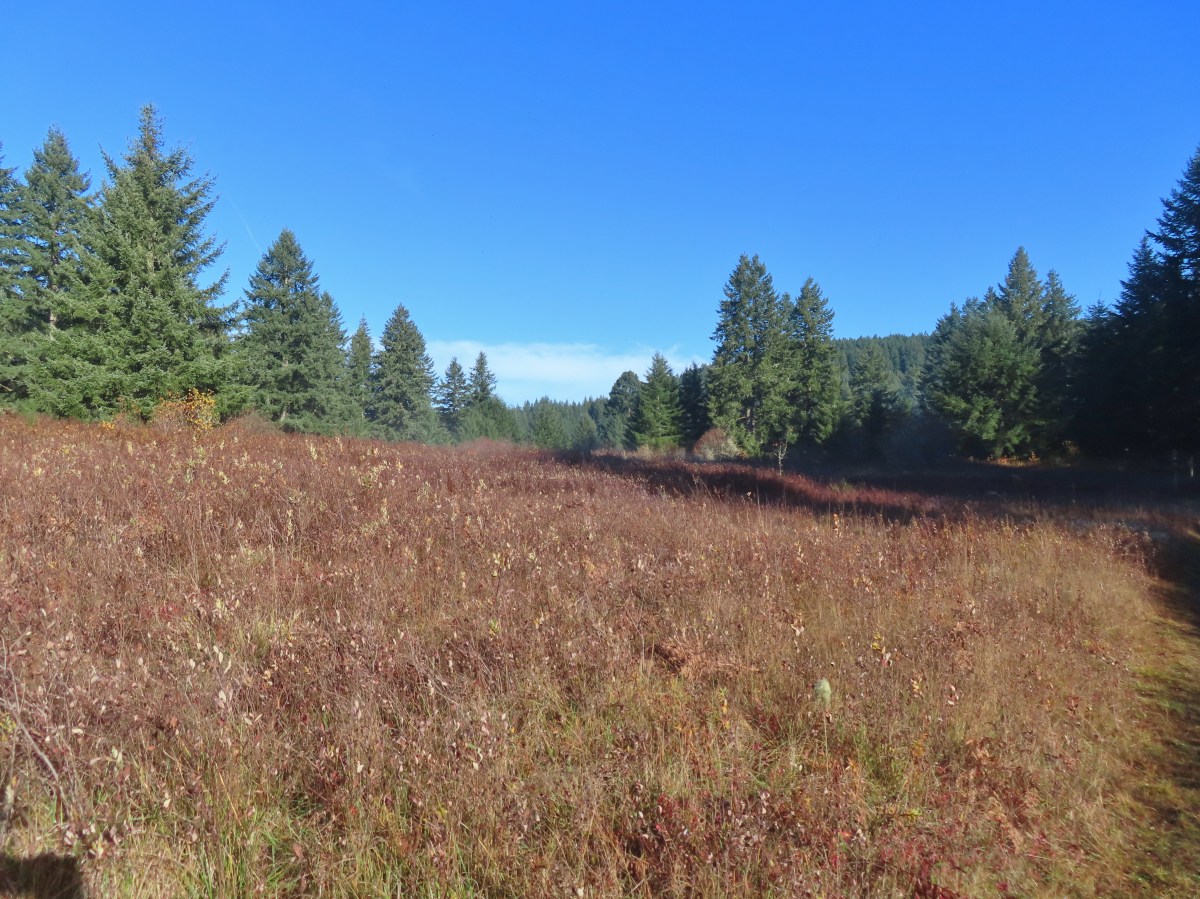
The old cherry orchard.
Sign in the distance along the paved path where I turned right.
I turned left onto the Conservation Trail and returned to Riverfront Park to complete my hike.
Cherry blossoms.
One constant throughout all of the hikes was the abundant wildlife. Deer – 3/19
Bald eagle – 3/19
Cormorant on the Willamette – 3/25
Sparrow – 3/25
Lesser goldfinch – 4/8
Mallard – 4/8
Wood ducks up in a tree – 4/8
Osprey – 4/8
Green-winged teal – 4/14
Mallard – 4/14
Golden-crowned sparrow – 4/14
Robin – 4/14
White-crowned sparrow – 4/14
Squirrel – 4/14
Rabbit – 4/14 (This was one of several dozen bunnies that I encountered on this day.)
Woodpecker – 4/14
Lot 3 also had its share of wildlife. Scrub jay – 3/19
Dove – 4/8
Killdeer – 4/14
Red breasted sapsuckers – 4/14 (Males peck the sign to make noise to either attract mates or establish territory.)
Pied billed grebe in Oxbow Slough – 3/19
Ring-necked ducks from the bridge over Oxbow Slough – 3/25
Buffleheads from the bridge over Oxbow Slough – 3/25
Geese from the bridge over Oxbow Slough – 3/25
Hummingbird along the Blue Heron Trail – 4/14
Orange-crowned warbler along the Blue Heron Trail – 4/14
Dark-eyed junco at Eola Bend County Park – 4/14
Northern flicker at Eola Bend County Park – 4/14
Swallows at Eola Bend County Park – 4/14
Red-tailed hawk near the landfill – 4/14
Great blue heron at Oxbow Slough across from the bench viewpoint near Lot 4 (Homestead Road) – 4/14
Wood duck drake in Oxbow Slough – 4/8
Ruby-crowned kinglet – 4/8
Rabbit – 4/8
Egret between the Red Osprey and 10k Loops – 4/8
Turkey vulture near the old cherry orchard – 4/14
We’re lucky to have this park nearby and it seems crazy that we still haven’t checked out all of the trails yet. It at least gives us a reason, besides the abundant wildlife, to keep going back. That being said we are really looking forward to some more remote hiking in quieter forests. Happy Trails!









































 You can actually see some of the route I explored on the left side between Parvipes Marsh and the butte and at the bottom of the picture wrapping around the butte.
 Manroot
 Camas
Camas Plectritis
 Checkerbloom
 Tolmie’s mariposa lilies


 Morgan Lake with a bit of Moffitti Marsh to the left.
 Columbine
 Iris
Iris
 Robin
Robin Sparrows
 Gold crowned sparrow
 The grass was low enough that the lake was fairly visible. Later in Spring you’re lucky to see any water from the trail.
 Not a great picture due to the distance and light, but there are a couple of ruddy ducks to the left hanging out with some ring-necked ducks.
 Mallards
 American coot
 Gadwalls
 Buffleheads
 Common yellowthroat
 Looking for a bittern.
 American bittern. I could only see the bittern from a very short section of trail and as soon as I lost a little elevation it disappeared from sight. It never flew off, but I couldn’t see it even knowing where it was.
 Following the trail next to Smithfield Road.
 Lots of red-winged blackbirds near the trailhead.
 Finch
Finch Heading back toward Baskett Butte and Moffitti Marsh.
 Northern flicker
 Moffitti Marsh
 American wigeons
 Female common yellowthroat
 Spotted towhee
 I watched a crow chase off a hawk that had apparently gotten too close.
 The official trail heads up the hill to the left. I veered right just beyond the trail sign pointing toward Moffitti Marsh.
 Lilac
Lilac Parvipes Marsh ahead to the right.
 The tractor turned right and drove over a dike at the end of Parvipes Marsh to a field on the other side.
 Deer farther up the hillside.

 This appears to be balsamroot. There were just a couple of patches on the SW side of the butte.
 Cottonwood Pond
 Buttercups and miniature lupine
 Meadow checker-mallow
 Lomatium and plectritis
 South Slough Pond
 I was a bit surprised to find a bench along this route given it isn’t shown as an official trail.
 Grass pea
 More checkerbloom
 Golden paintbrush
 If I hadn’t been looking for the tread I don’t think I would have noticed it.
 Lupine
 Another Tolmie’s mariposa lily
 Western meadowlark
 The overlook ahead.
 The obligatory photo from the overlook.
 Lots of patches of plectritis on the butte.
 Ground squirrel
 Swallow
 Baskett Butte from the Cottonwood Pond parking area.
 Mallards
 Northern pintails
 Northern shovelers
 Lesser scaup. They look a lot like ring-necked ducks only without the ring.
 Ring-necked ducks
 Nap Time.
 The route included two short road walks along Buena Vista and Wintel Roads.
 Ring-necked ducks
 Much of the area, and most trails, are closed between October 1st and April 1st each year.
 Ring-necked ducks and a very out of focus pied billed grebe.
 Willow Marsh
 Northern filckers
 Geese
Geese Teal Marsh
 Pied billed grebe
 Common yellowthroat
 Pair of bald eagles in the snag.
 One of the eagles.
 I believe this is a greater yellowlegs.
 Bufflehead
 Green-winged teals
 Killdeer
 Leaving Eagle Marsh. Even over an hour after sunrise there wasn’t much light.
 Robin
Robin The mudflats at Mallard Marsh were busy.
 Green-winged teals and several species of shore birds. I think the darker, larger birds are short billed dowitchers, the smallest are sandpipers and there is one with a black mark on its underside which may be a dunlin.
 Better look at the short billed dowitchers.
 A little better look at what I think might be dunlins.
 I see you.
 This American bittern saw me way before I saw it. It had flown up earlier and landed in the vegetation and even though I watched where it landed, I couldn’t make it out until it took flight again.
 Savanah sparrow that appears as annoyed with the bugs as I was.
 Not a great photo but there is a northern pintail lower right.
 A sandpiper, my guess is a least sandpiper.
 American wigeons. Another not great shot but they were all sticking close to the far shore of Mallard Marsh.
 Mallards hanging out at Mallard Marsh.
 Nearing the 4-way junction.
 Northern shoveler
 Pintail Marsh from the trailhead along Wintel Road.
 Cinamon Teal
 Camas
Camas Hawk
Hawk Song sparrow
 Spotted towhee
 Common vetch

 Avens
Avens Western meadowrue
 Obstacle
 Newer looking bridge.
 Older bridge.
 End of the Woodland Loop.
 The boardwalk to the left.
 The one trying to land was apparently not invited to the party.

 There are 3 immature and 2 adult eagles in the trees. Then there was the juvenile that wasn’t welcome and possibly another juvenile that had been flying around. I was having a hard time keeping track of just how many there were.
 Grey ghost
 Dunlin Pond
 These may be the two juveniles that were not allowed at the meeting.
 A nearly dry South Pond on the right after having looped around Killdeer Marsh.
 The start of the boardwalk.
 Dove
Dove Song sparrow
 Wood ducks
 Mallard
 Swallow
 Cinnamon teal
 Woodpecker
 Pintail Marsh (all the black specs are insects)
 Female red-winged blackbird
 Male red-winged blackbird
 American coot
 The highly invasive American bullfrog.
 A good look at the size difference between a Canada goose (left) and cackling geese.
 Sunning snake
 Canada goose
 The heron’s head between the interpretive signs.

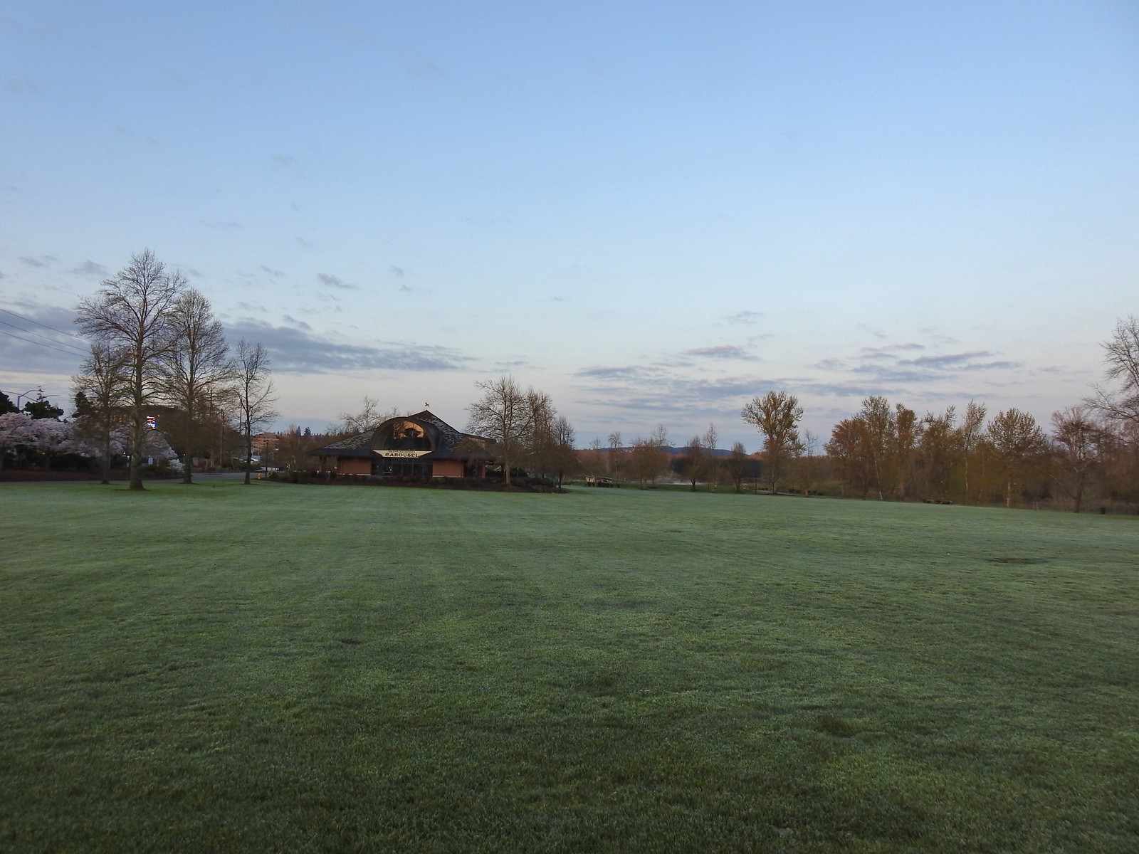
 The amphitheater and bridge on 3/19 23.
 The amphitheater and bridge on 4/14/23.
 Wetland near the bridge on 4/8.
 The wetland on 4/14.
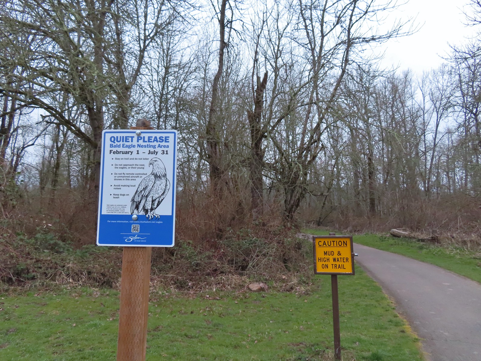 Signs at the 2nd junction – 3/19.
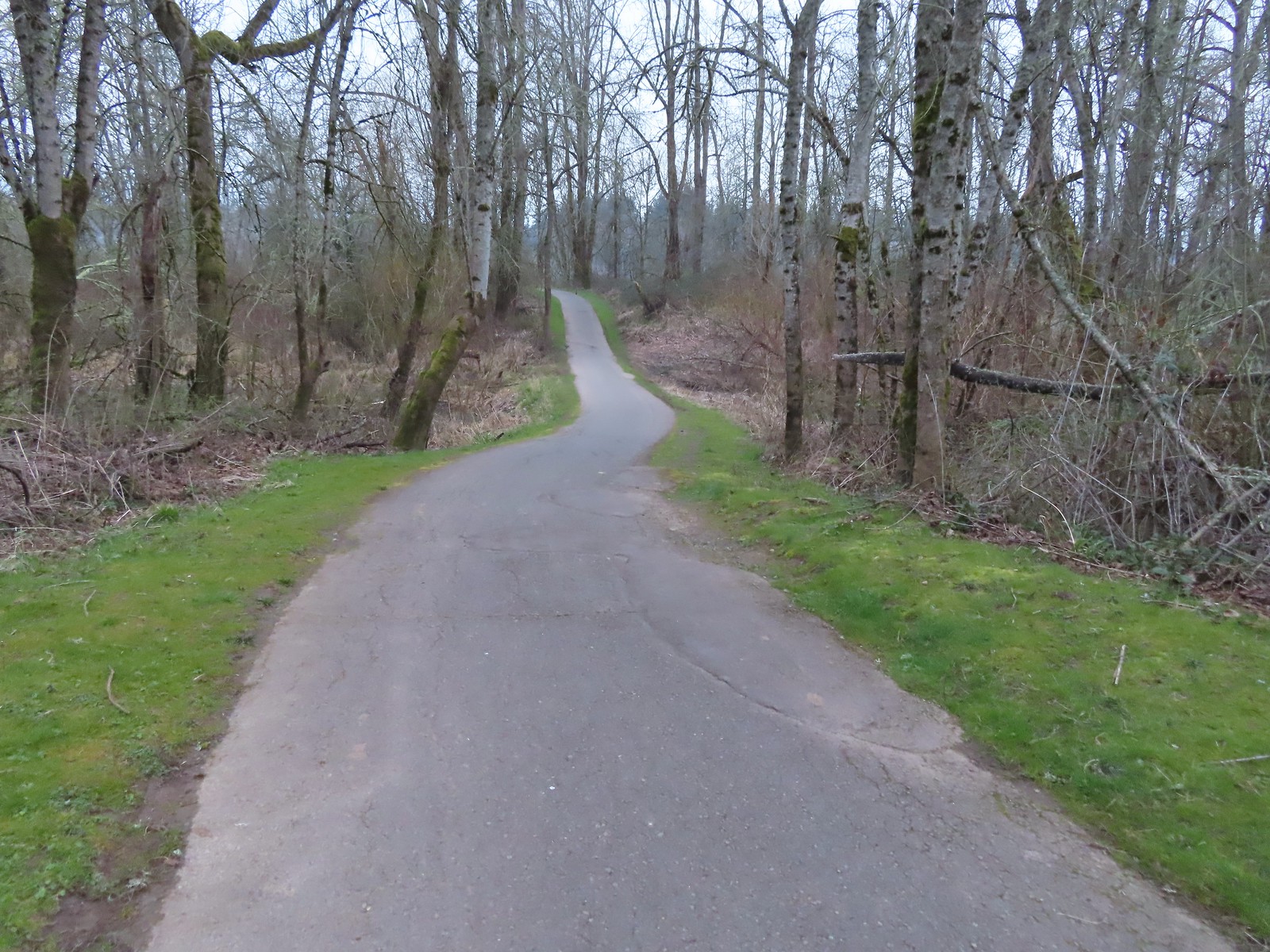 The path to the Willamette River on 3/19.
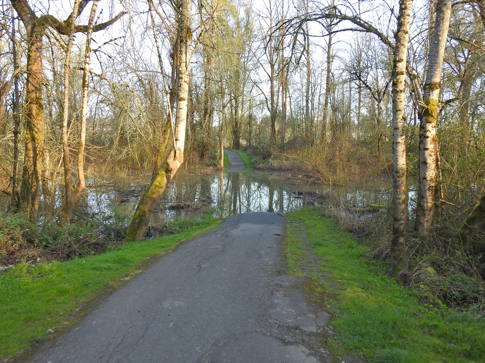 The path on 4/14.
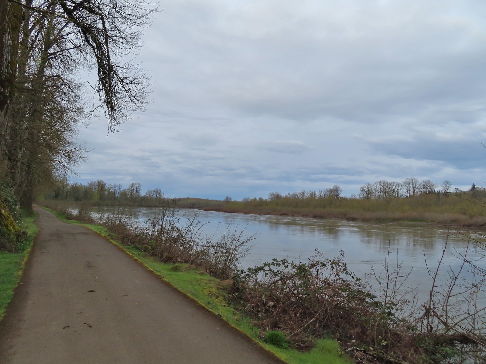 April 8th along the Willamette.
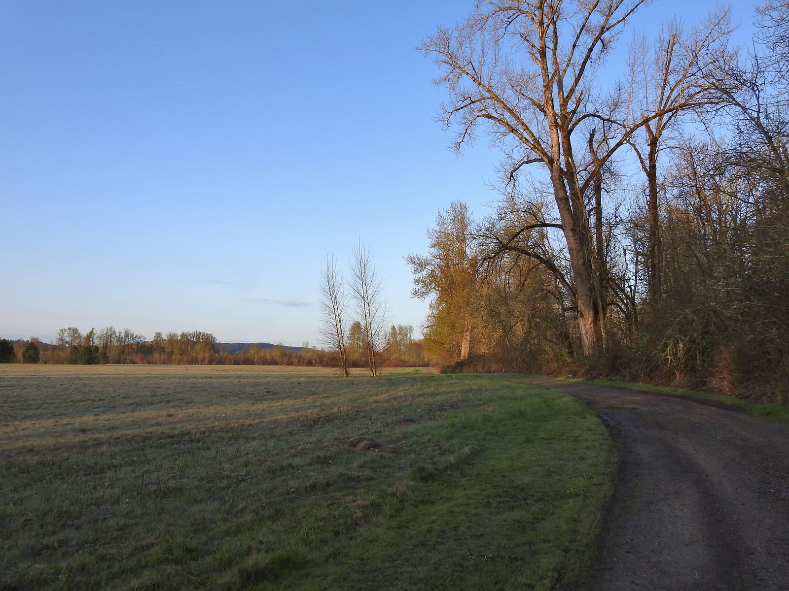 April 14th on the inland gravel path.
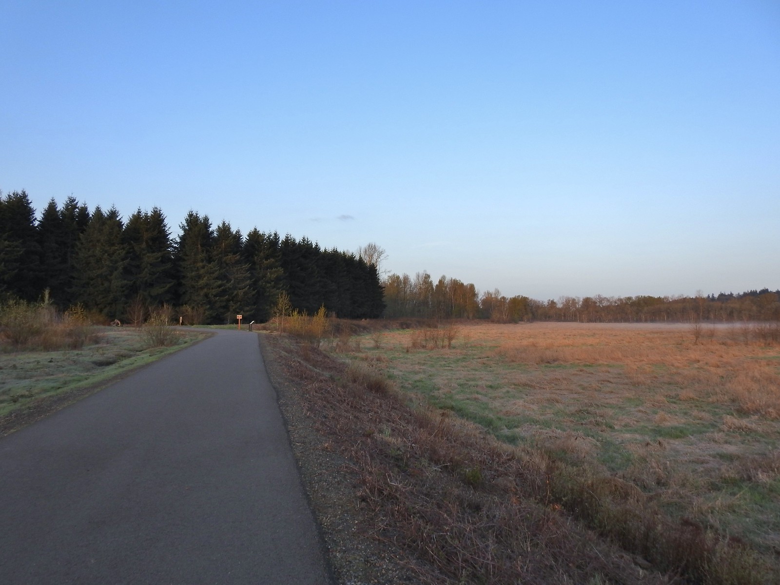 The Minto-Island Conservation Trail (Used during all four hikes.)
 Oxbow slough 3/19.
 April 14th
 Just South of Lot 3 the paved path is shared by the 10k, Purple Rabbit, Blue Heron, Green Deer, Yellow Duck and Brown Squirrel Loops.
 The footbridge over Oxbow Slough is part of the 10k, Blue Heron, and Purple Rabbit Loops.
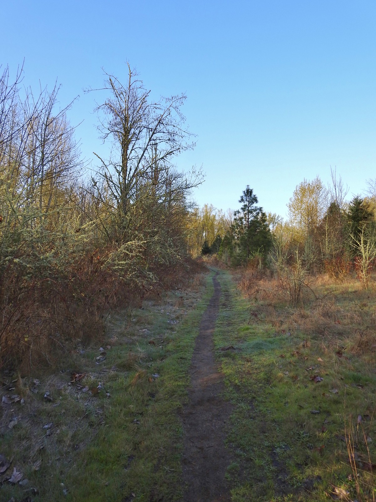 Blue Heron Loop running parallel to the 10k/Purple Rabbit Loops.
 Field along the Blue Heron Loop
 The “T” junction where the 10k/Purple Rabbit Loops turn left from the Blue Heron Loop.
 Most of the junctions are well signed with maps which helped keep me on track.
 Willamette River from the Orange Turtle Loop.
 Orange Turtle Loop
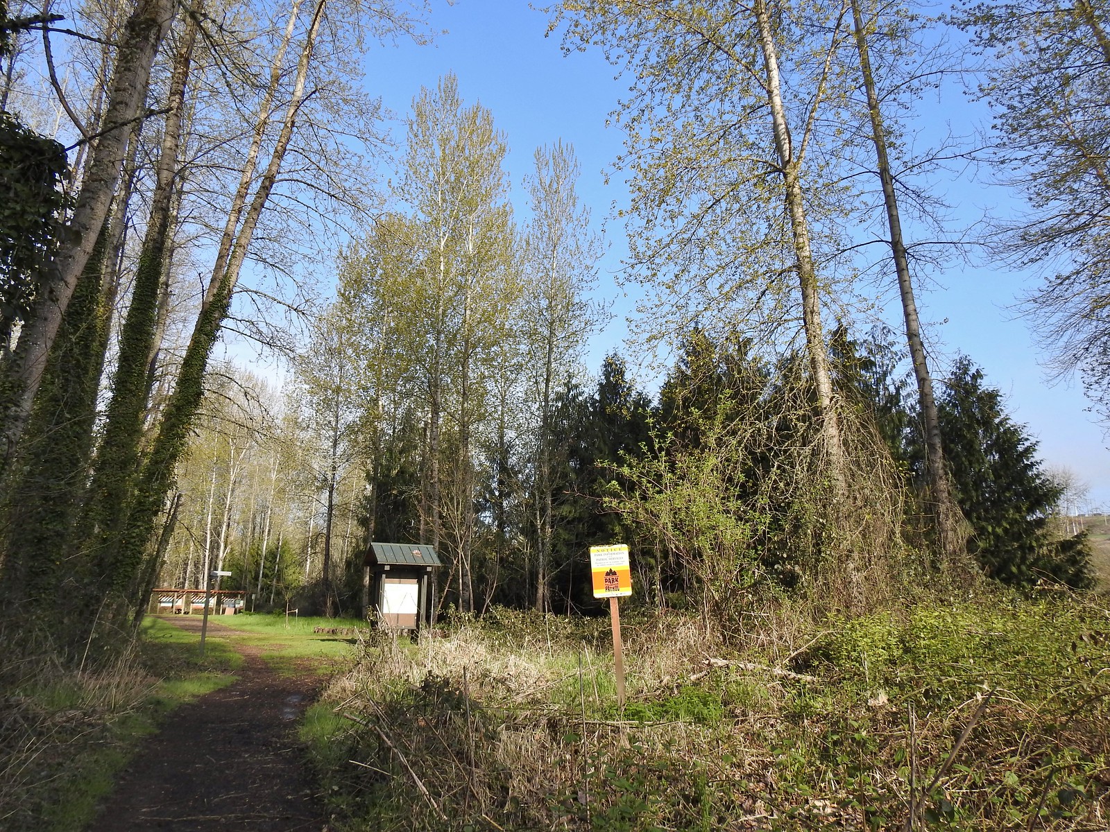 The boarder between Minto-Brown Island Park and Eola Bend County Park.
 A bit of the history of Eola Bend County Park.
 Nice map of the Willamette River watershed.
 Eola Bend County Park
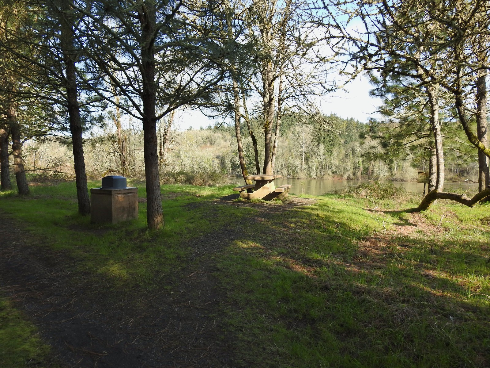 I took advantage of this picnic table to take a short break.
 The landfill behind the map.
 Arriving at the road.
 The 10k/Purple Rabbit Loop on the left.
 The Green Deer Loop junction.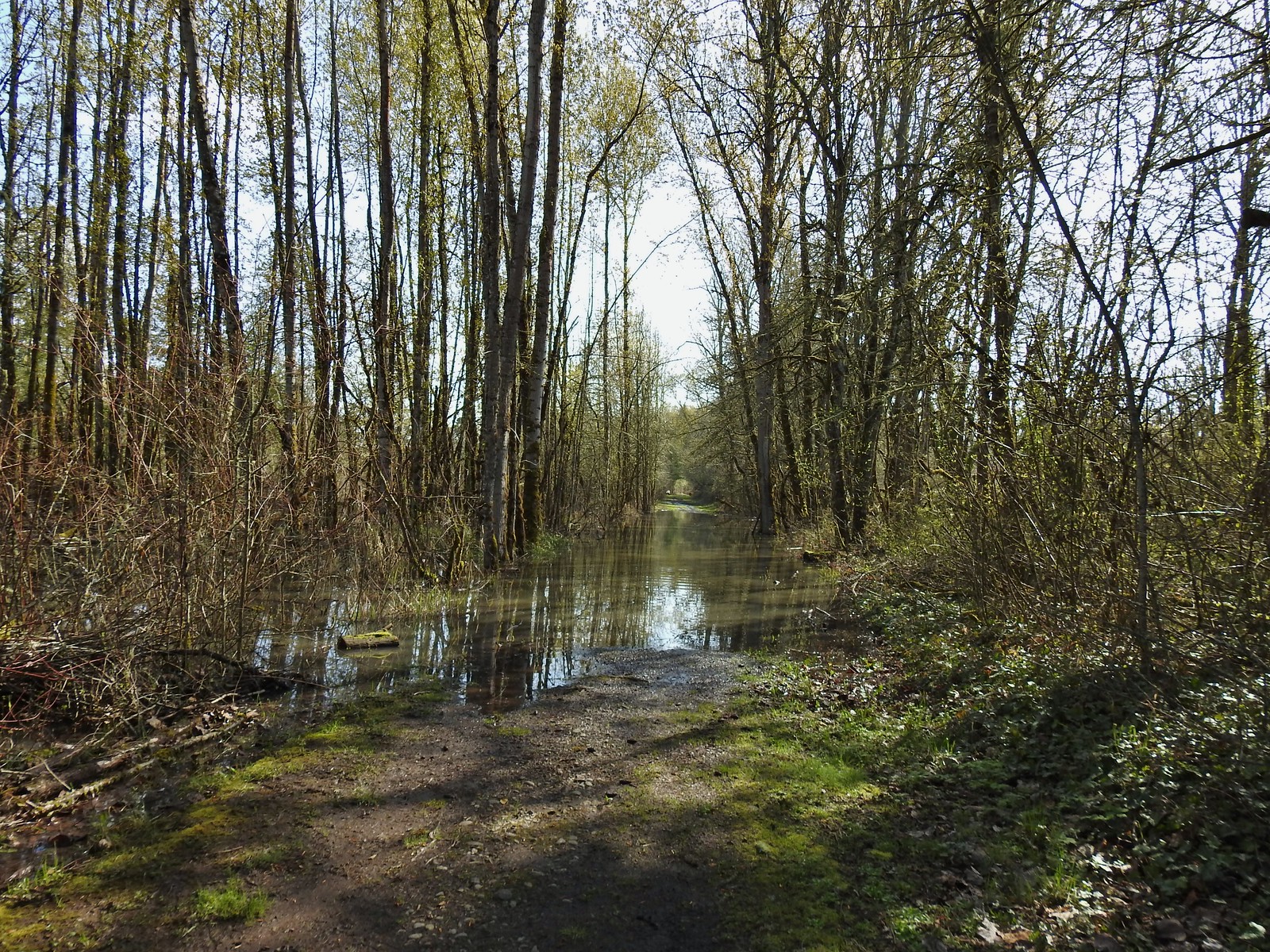
 The paved 10k/Yellow Duck/Brown Squirrel Loop.
 The rougher dirt path.
 The dog park (possibly the happiest place in Salem, at least for dogs).
 The 10k Loop on the opposite side of the entrance road from Lot 2.
 From our 3/19 hike on the 10k Loop. The path running from left to right is the Red Osprey Loop. On this last trip I took the path on the left down to the sign below at the junction and continued straight.
 At the sign heading toward the old cherry orchard.
 The old cherry orchard.
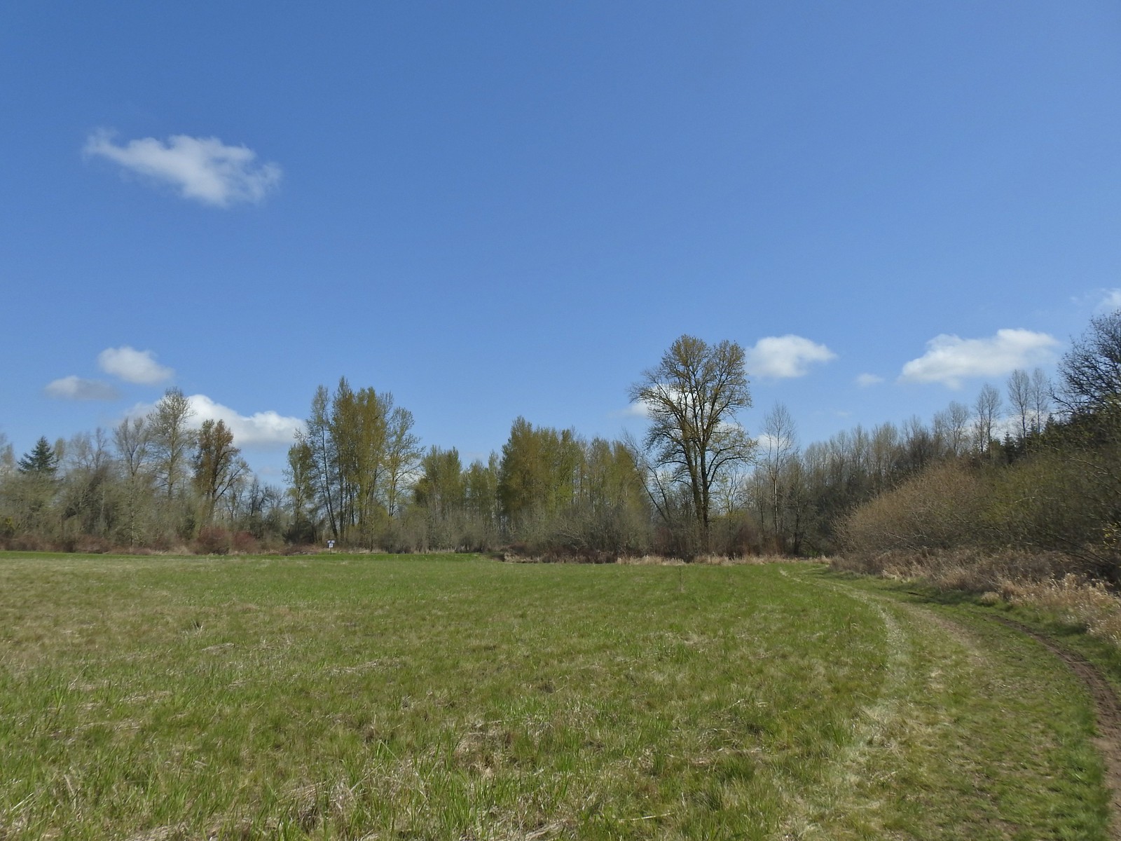 Sign in the distance along the paved path where I turned right.
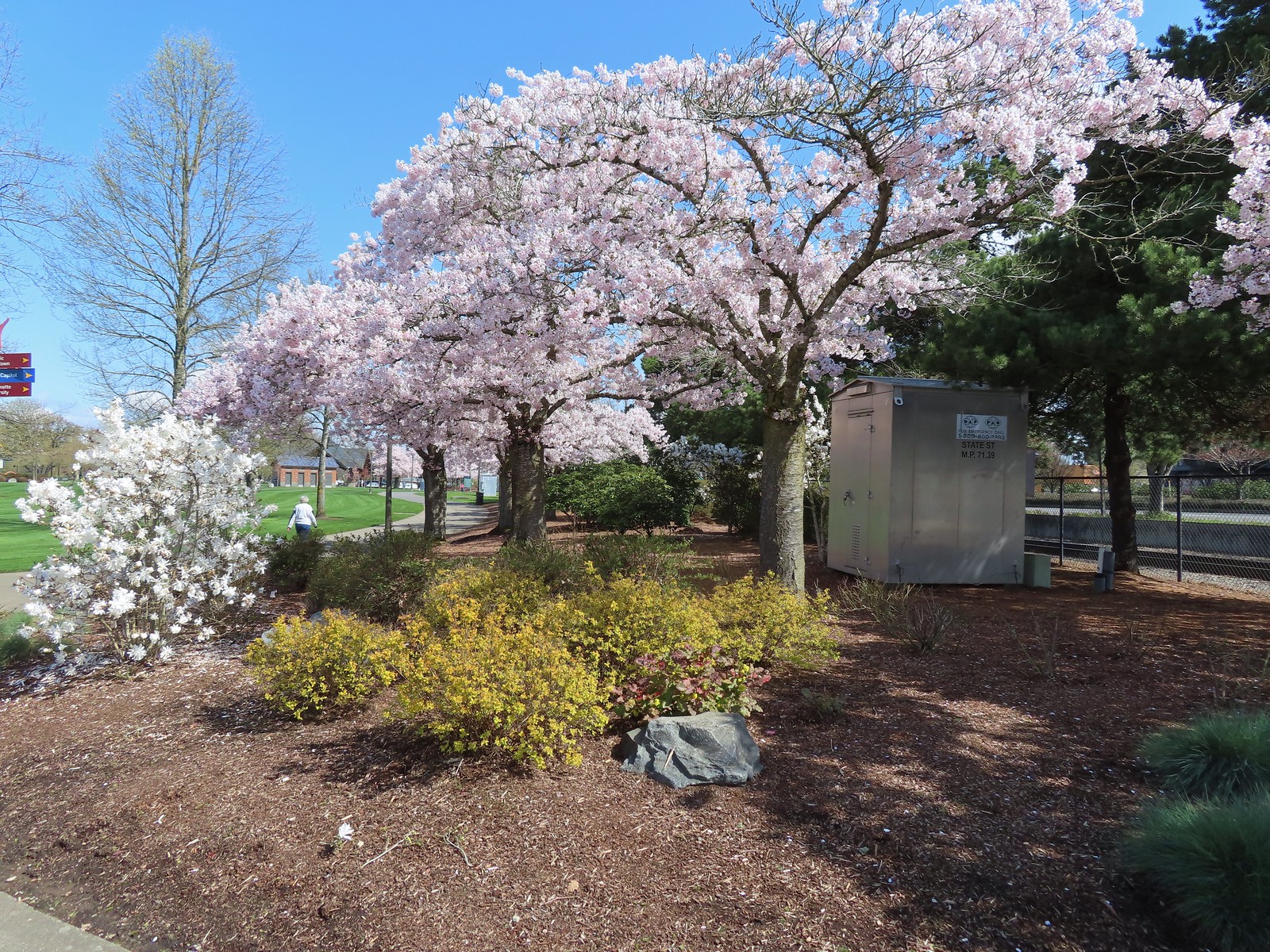 Cherry blossoms.
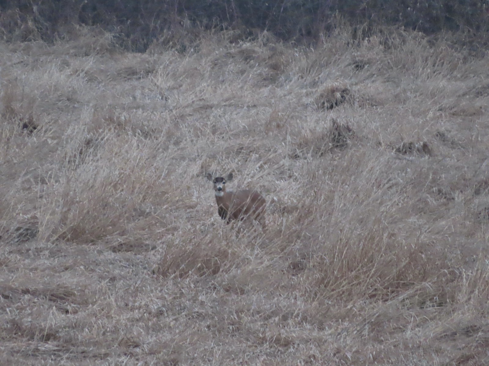 Deer – 3/19
 Bald eagle – 3/19
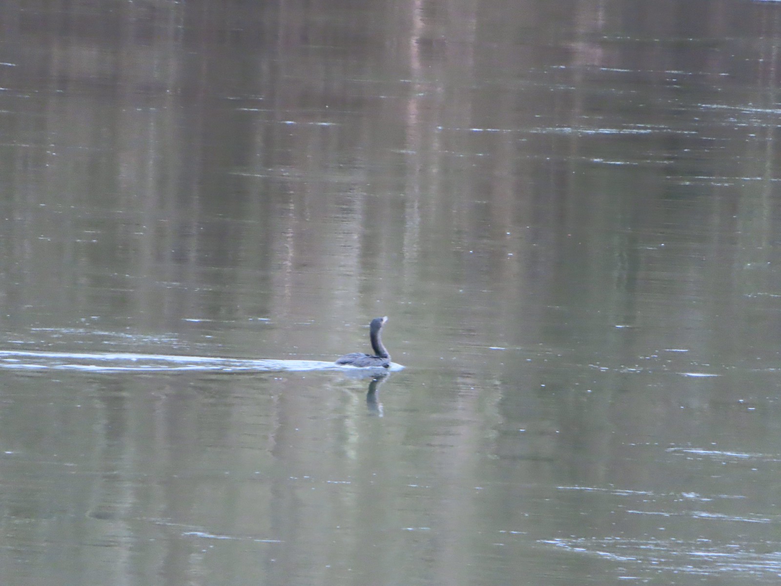 Cormorant on the Willamette – 3/25
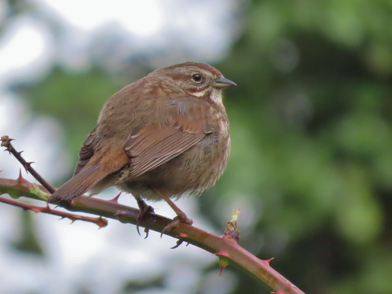 Sparrow – 3/25
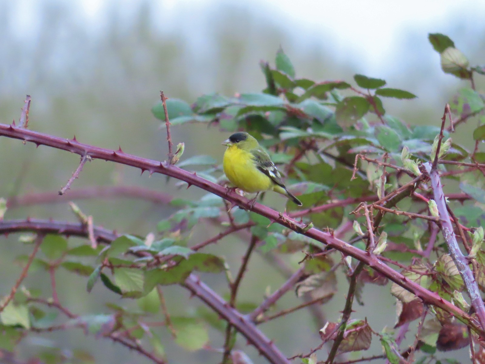 Lesser goldfinch – 4/8
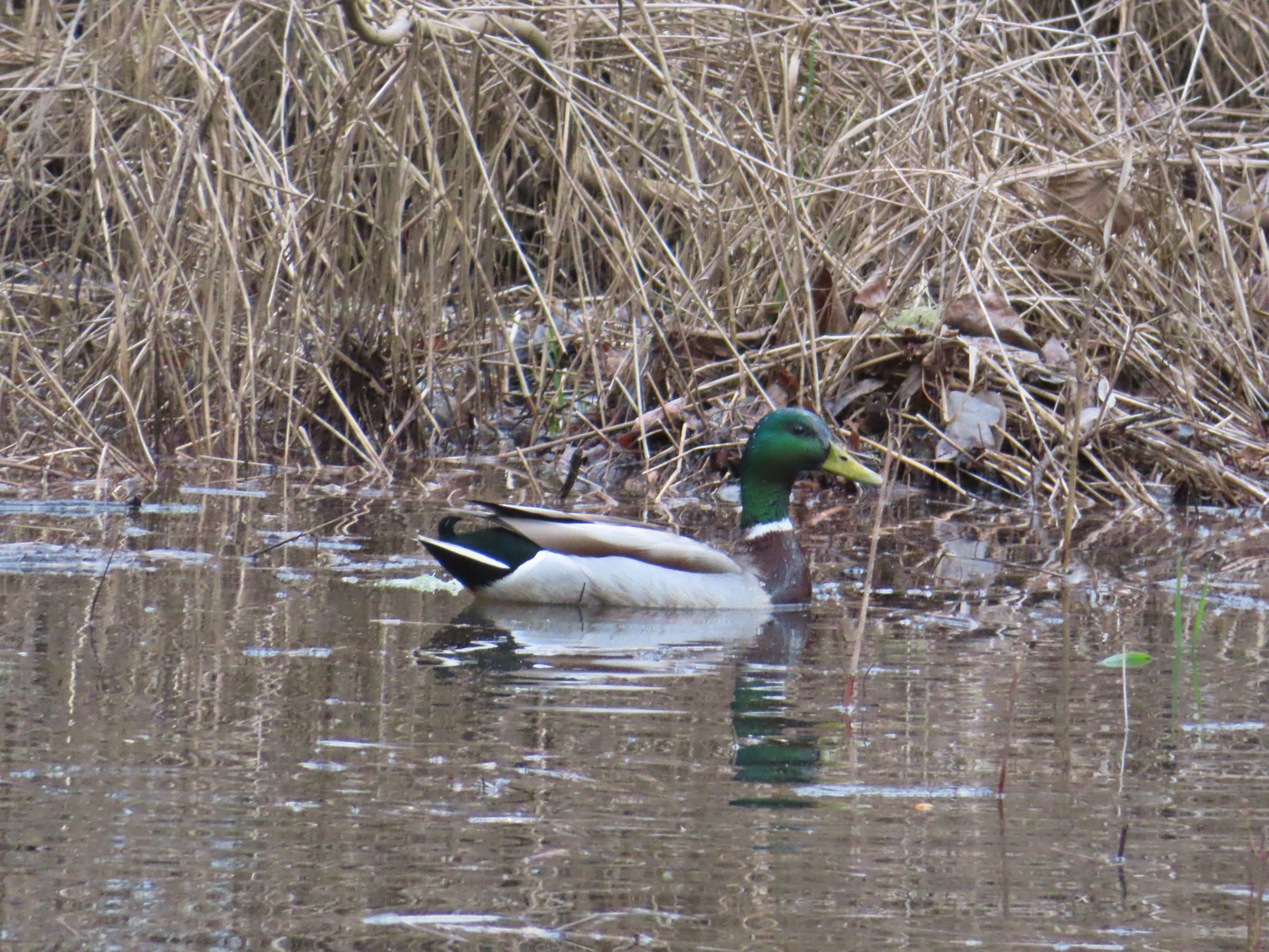 Mallard – 4/8
 Wood ducks up in a tree – 4/8
 Osprey – 4/8
 Green-winged teal – 4/14
 Mallard – 4/14
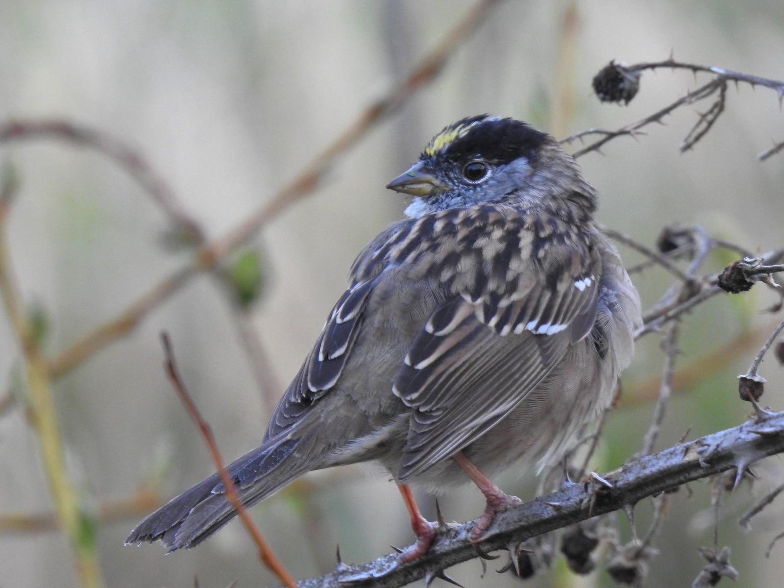 Golden-crowned sparrow – 4/14
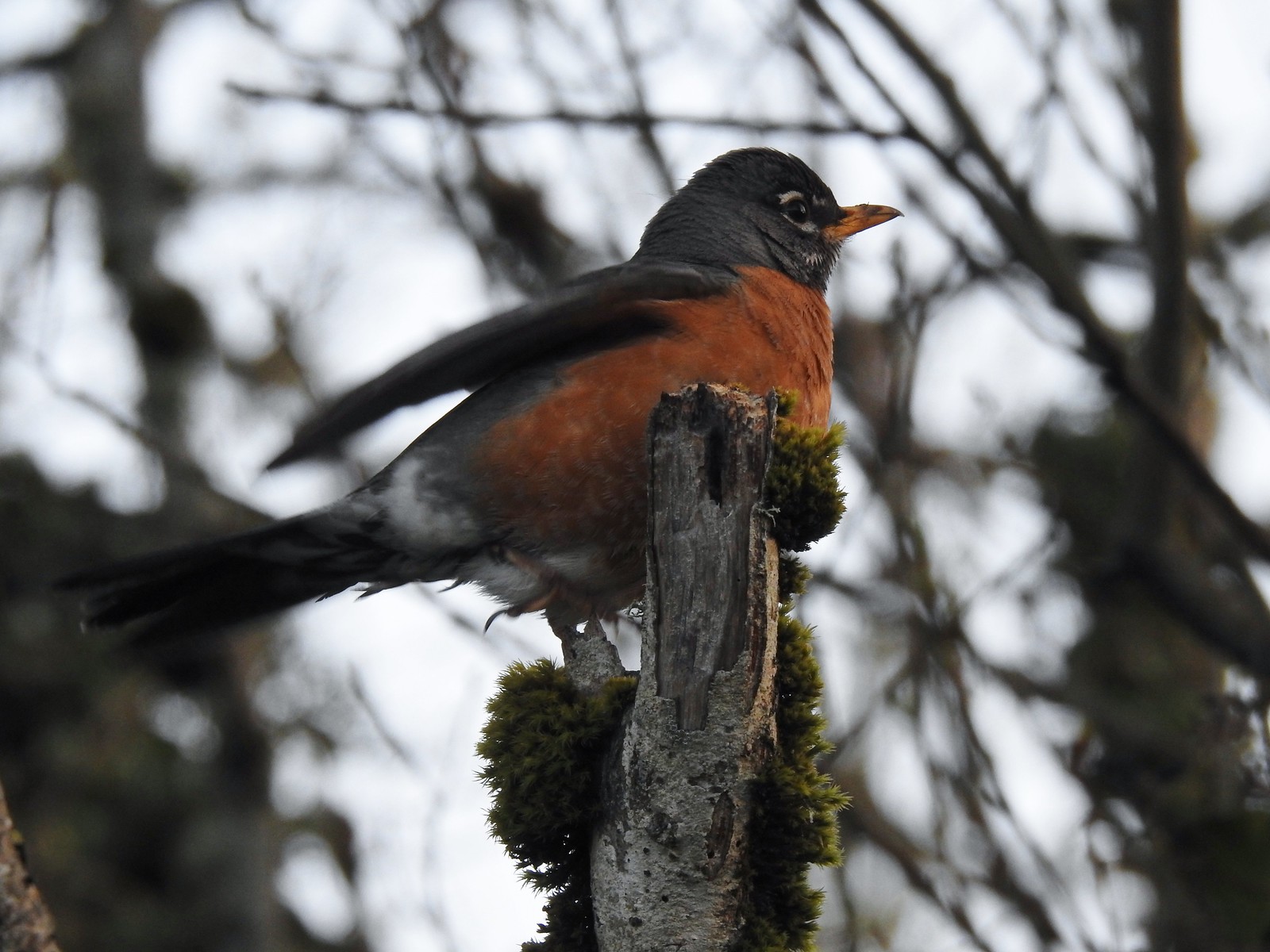 Robin – 4/14
 White-crowned sparrow – 4/14
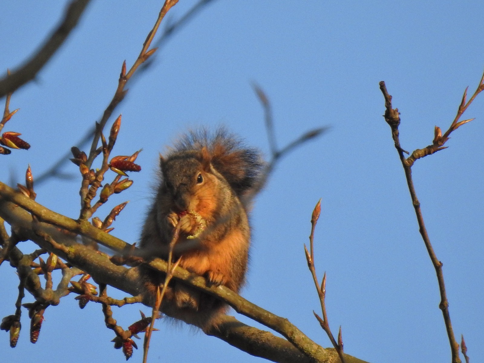 Squirrel – 4/14
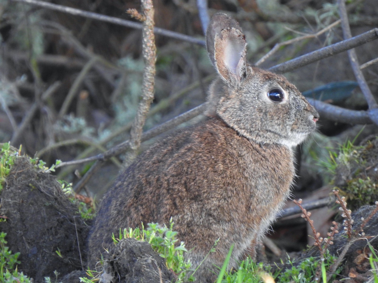 Rabbit – 4/14 (This was one of several dozen bunnies that I encountered on this day.)
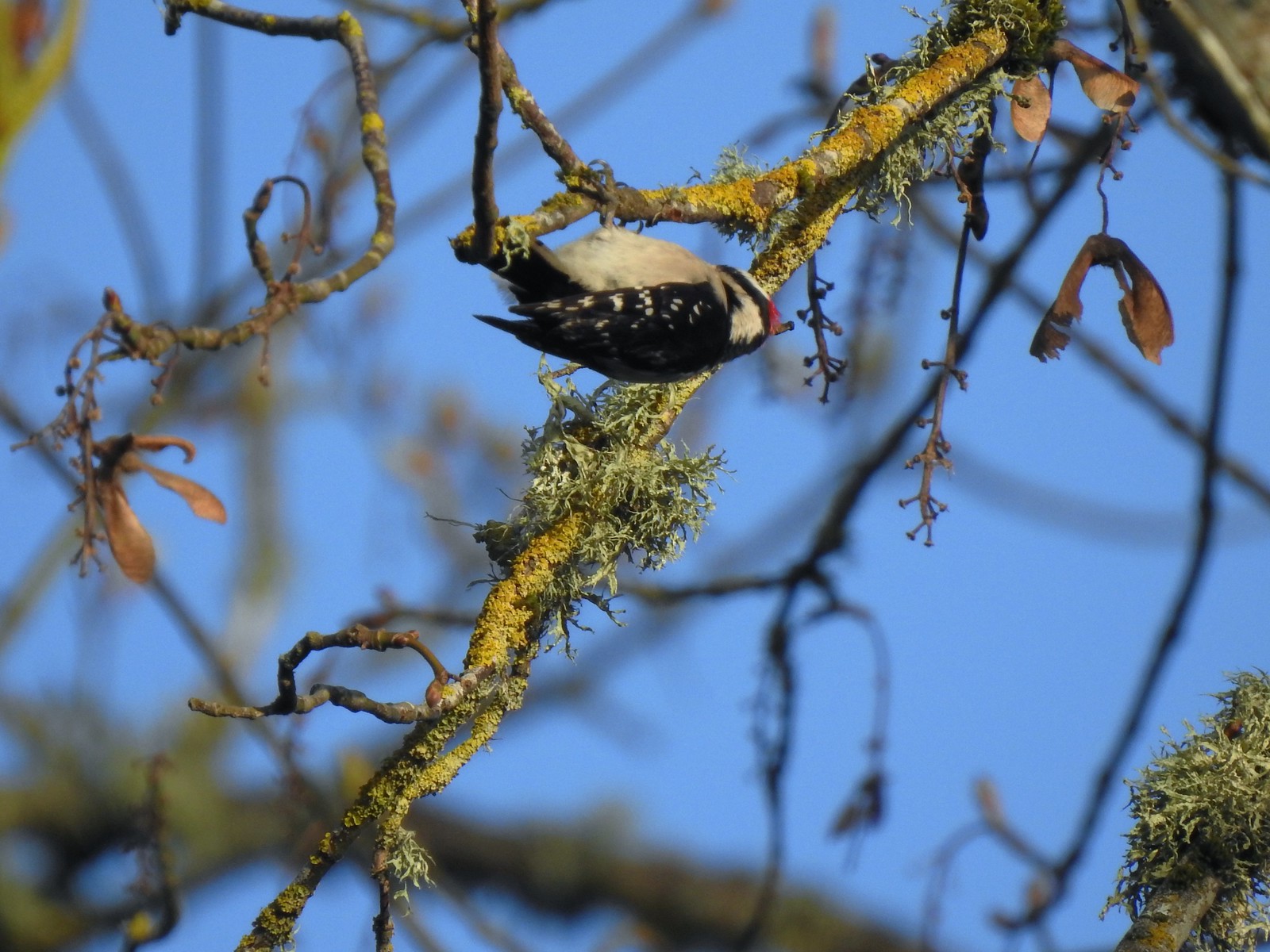 Woodpecker – 4/14
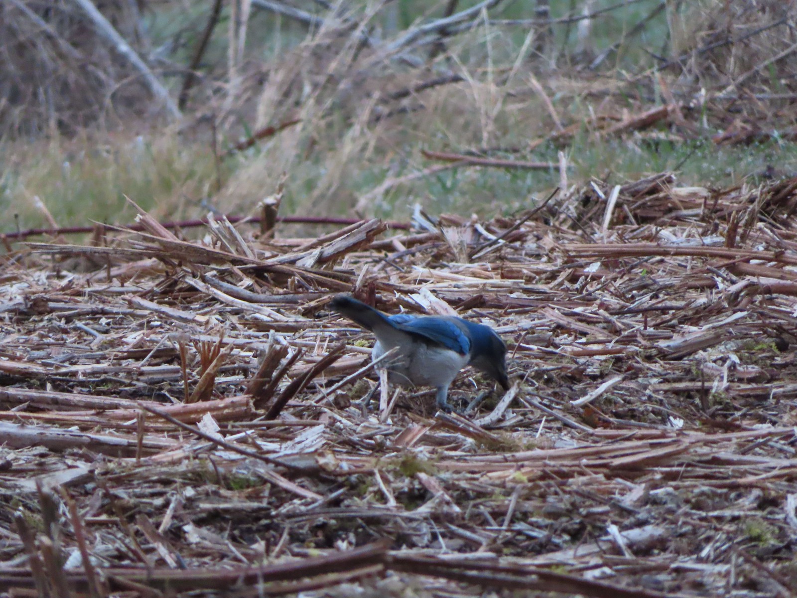 Scrub jay – 3/19
 Dove – 4/8
 Killdeer – 4/14
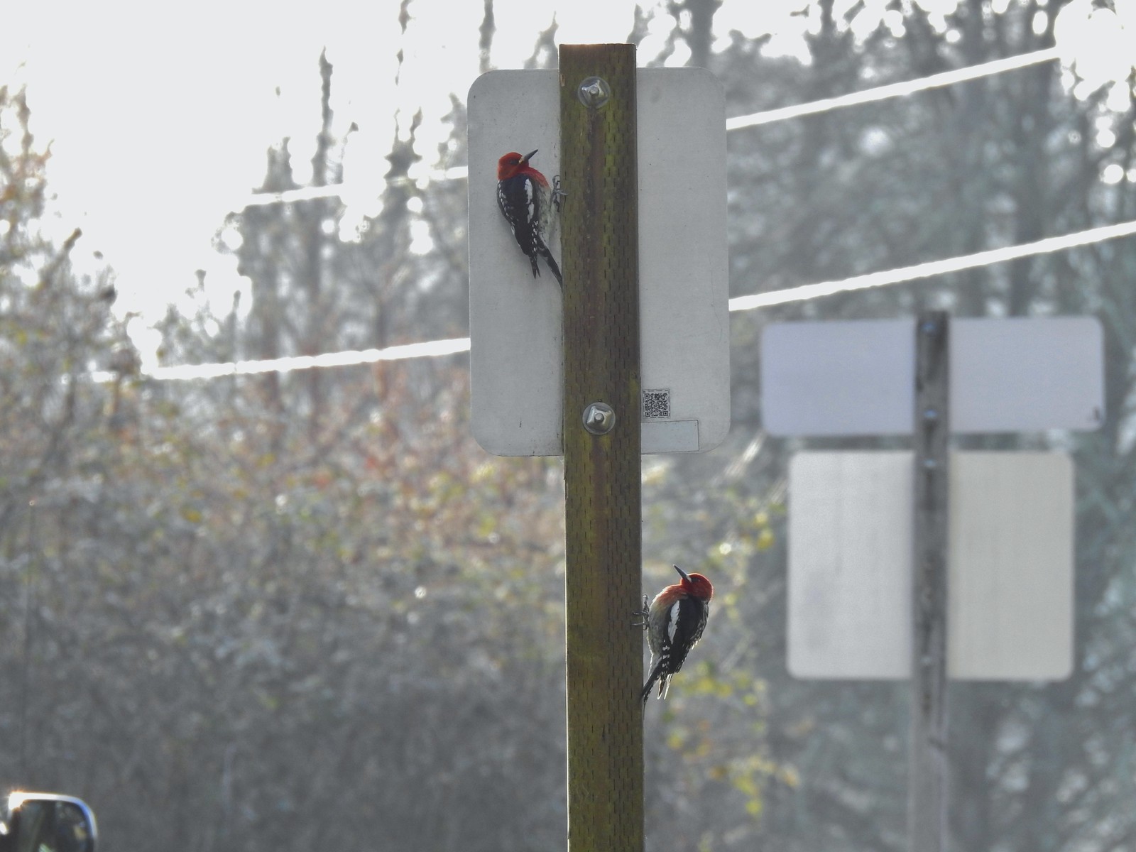 Red breasted sapsuckers – 4/14 (Males peck the sign to make noise to either attract mates or establish territory.)
 Pied billed grebe in Oxbow Slough – 3/19
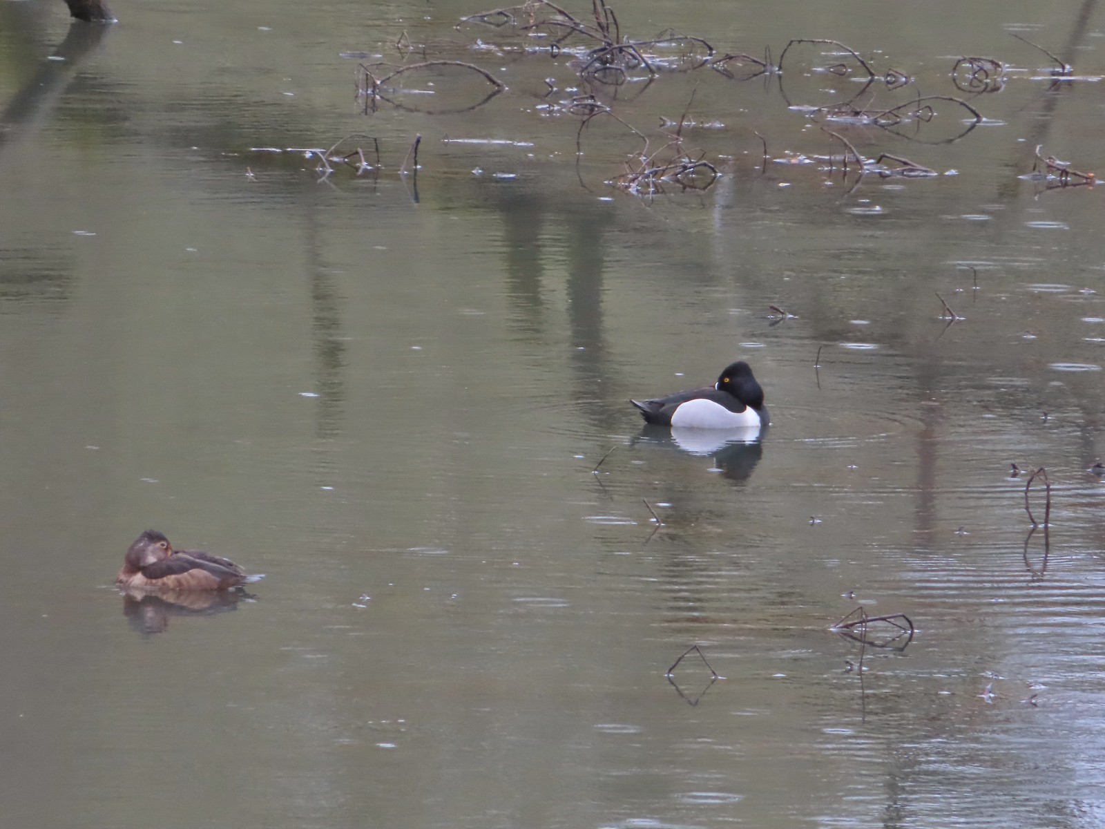 Ring-necked ducks from the bridge over Oxbow Slough – 3/25
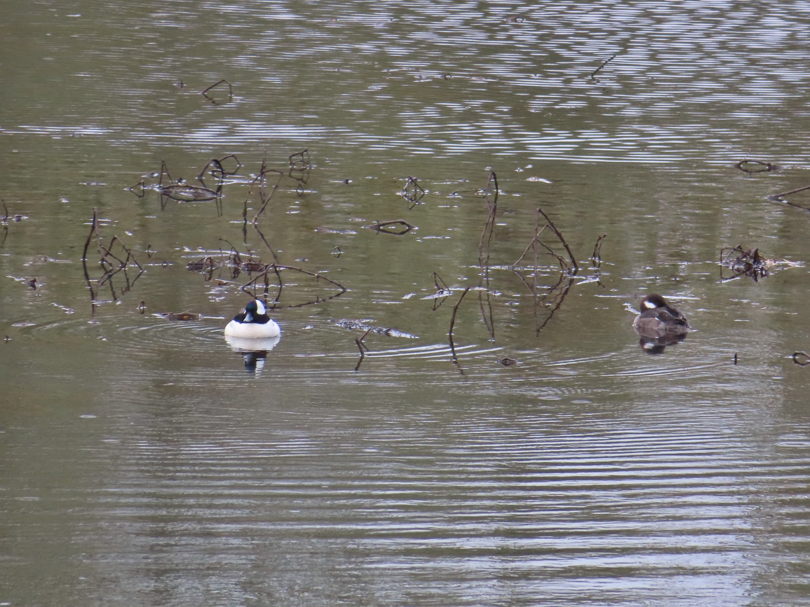 Buffleheads from the bridge over Oxbow Slough – 3/25
 Geese from the bridge over Oxbow Slough – 3/25
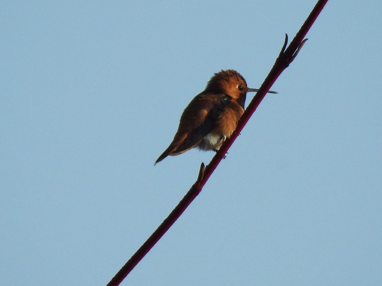 Hummingbird along the Blue Heron Trail – 4/14
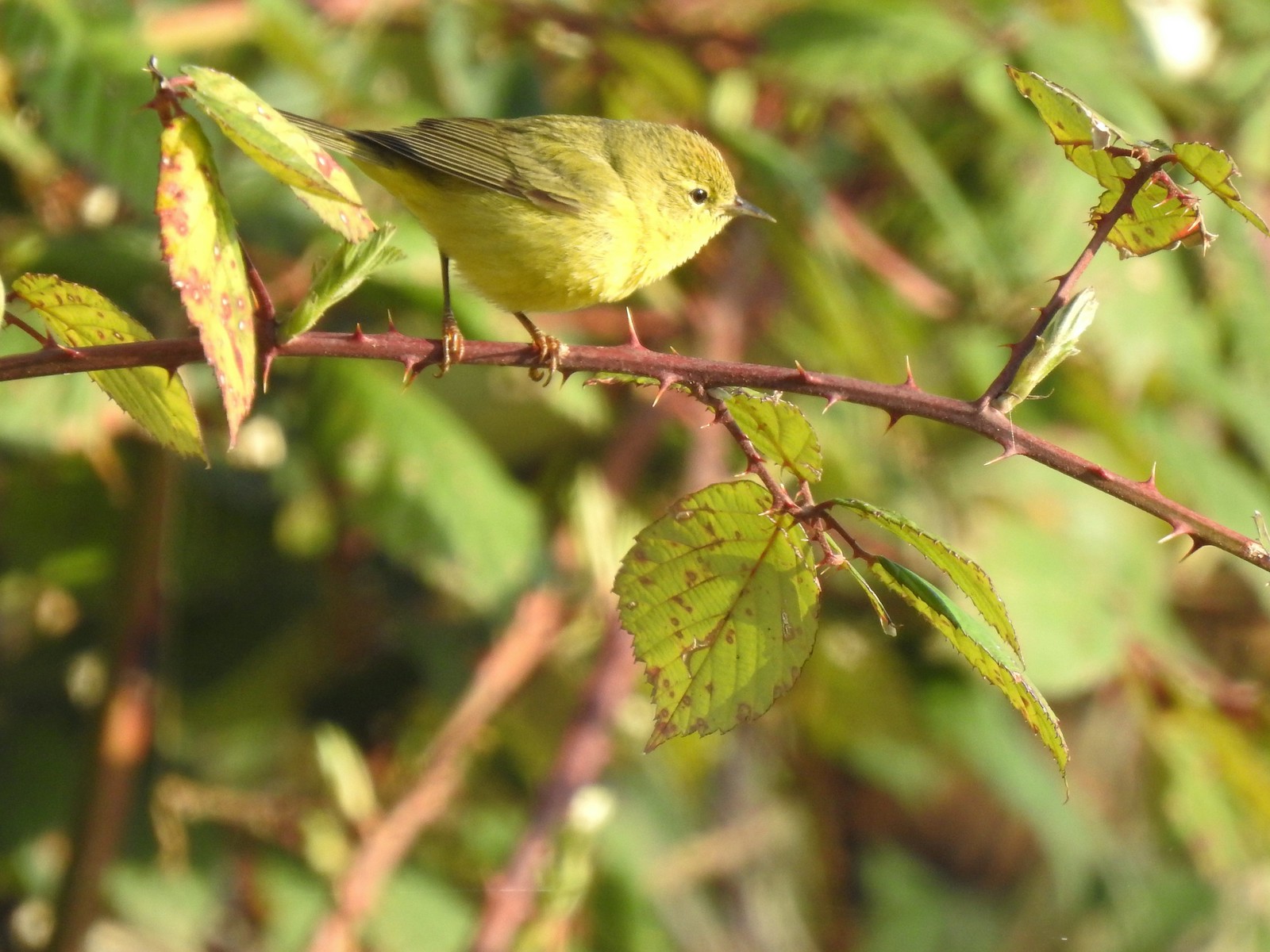 Orange-crowned warbler along the Blue Heron Trail – 4/14
 Dark-eyed junco at Eola Bend County Park – 4/14
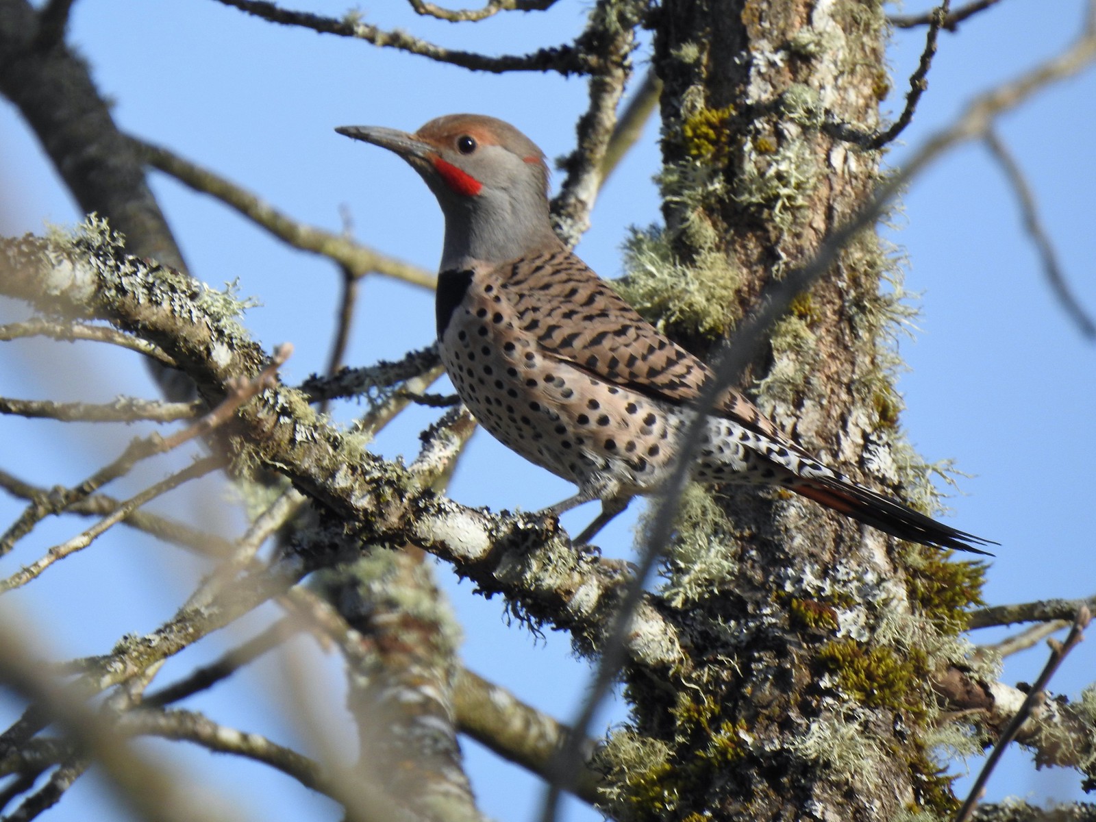 Northern flicker at Eola Bend County Park – 4/14
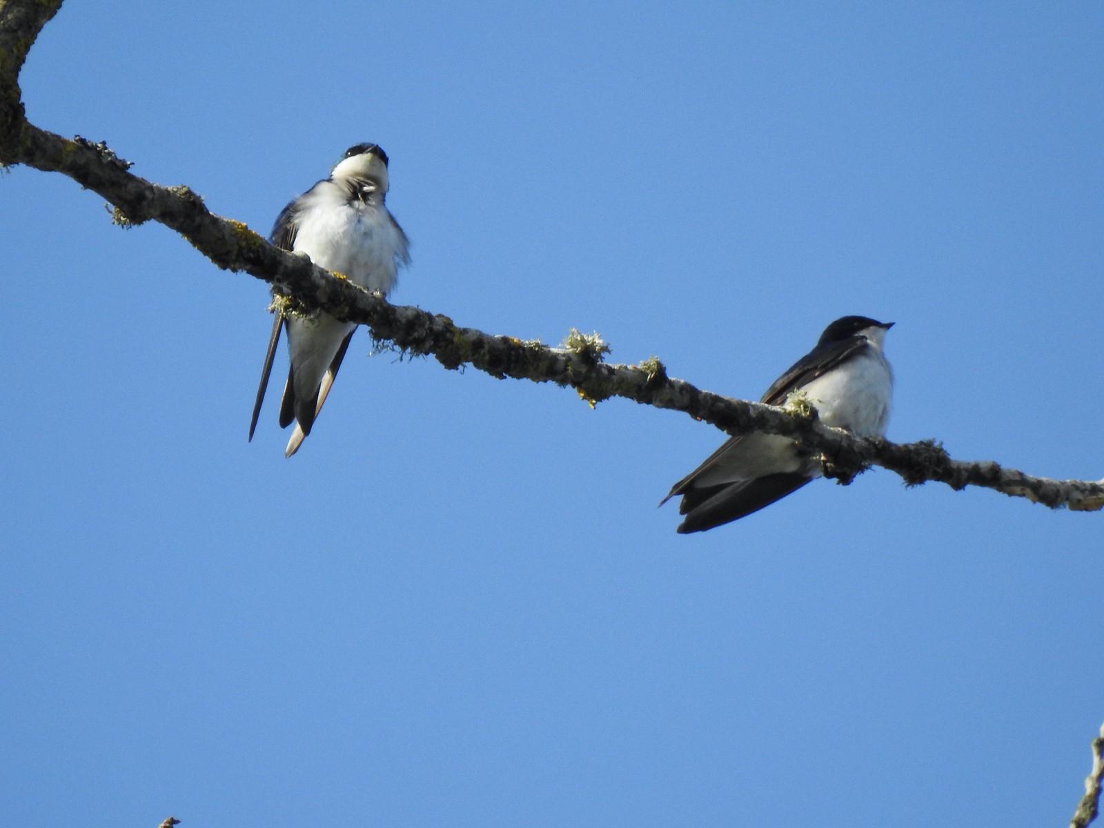 Swallows at Eola Bend County Park – 4/14
 Red-tailed hawk near the landfill – 4/14
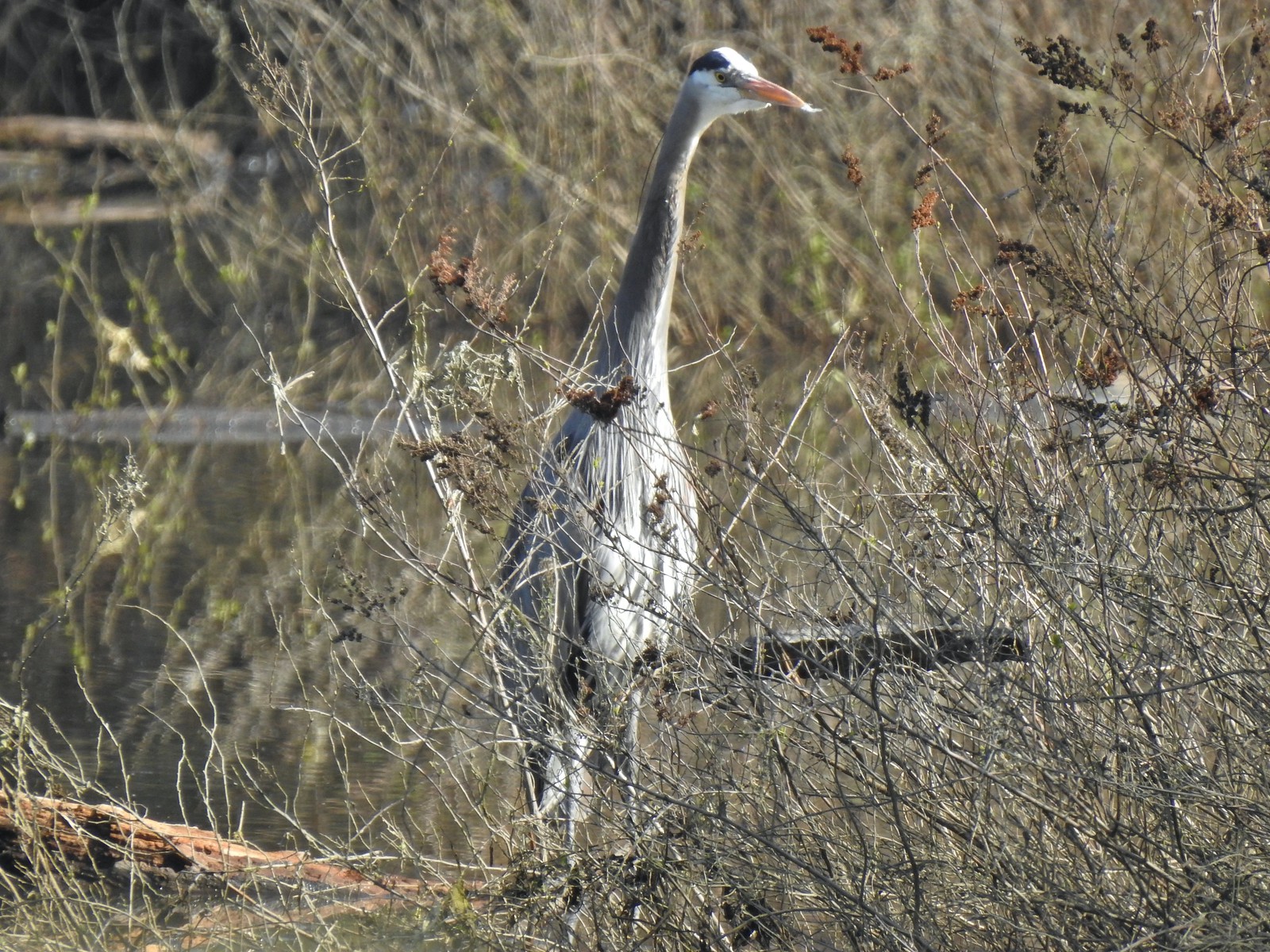 Great blue heron at Oxbow Slough across from the bench viewpoint near Lot 4 (Homestead Road) – 4/14
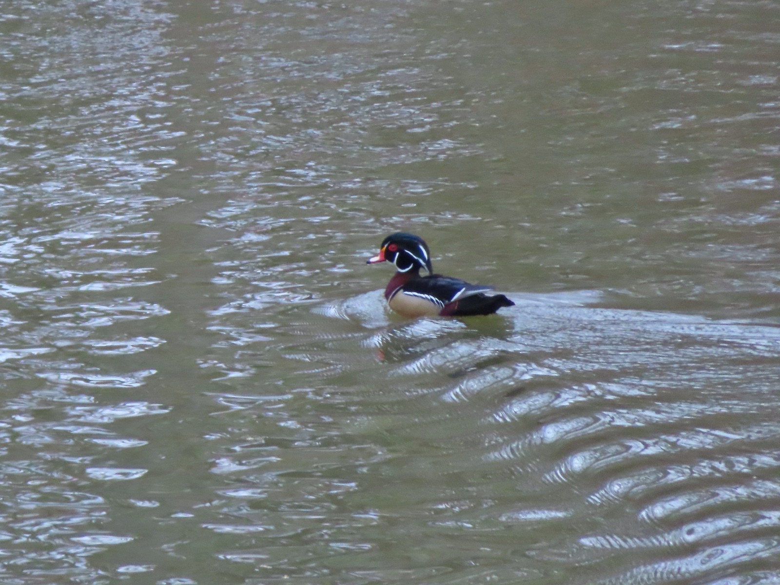 Wood duck drake in Oxbow Slough – 4/8
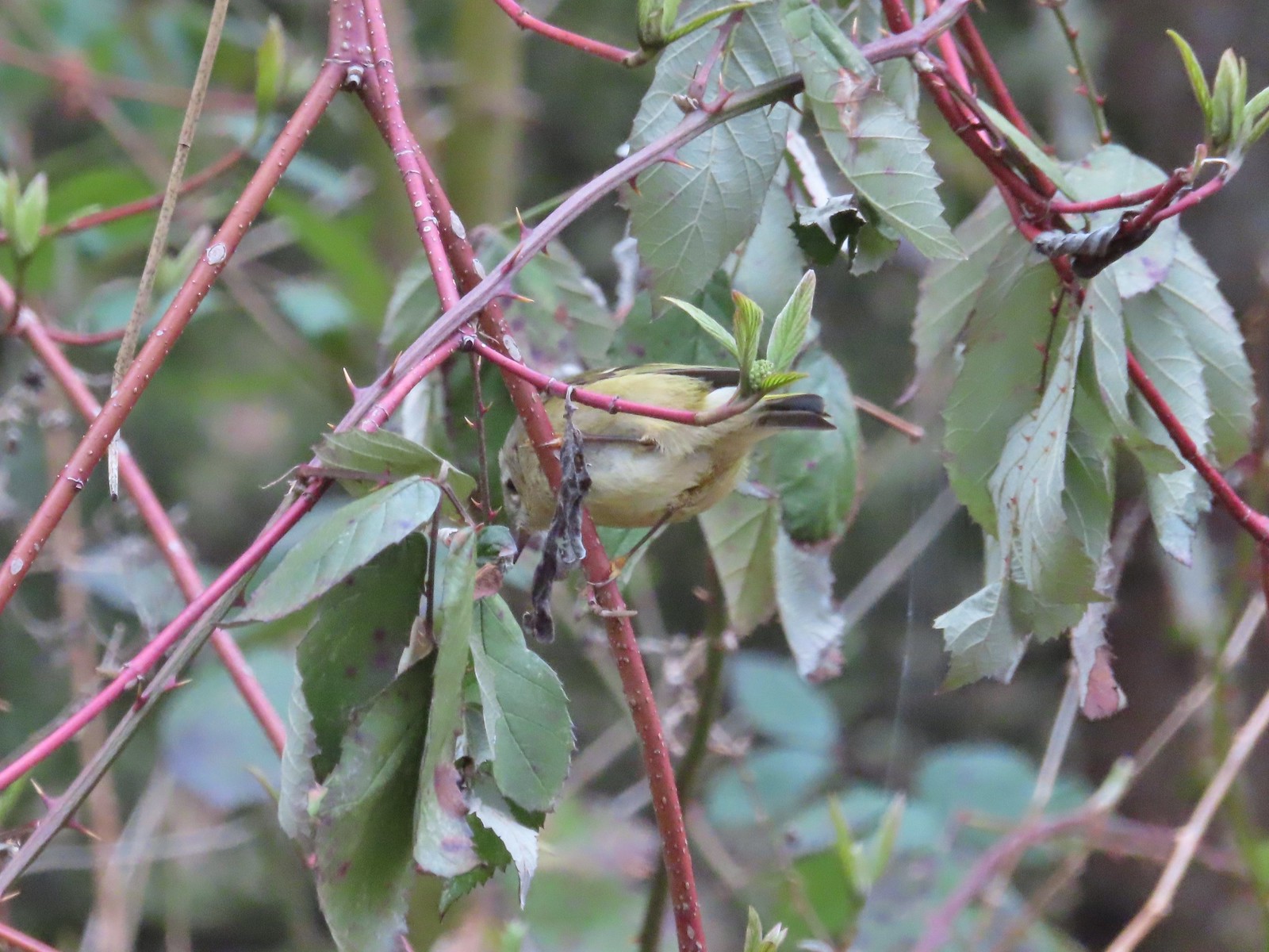 Ruby-crowned kinglet – 4/8
 Rabbit – 4/8
 Egret between the Red Osprey and 10k Loops – 4/8
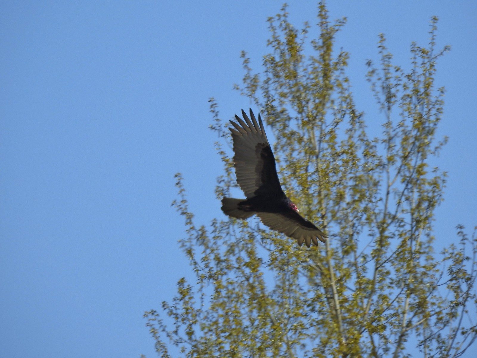 Turkey vulture near the old cherry orchard – 4/14

