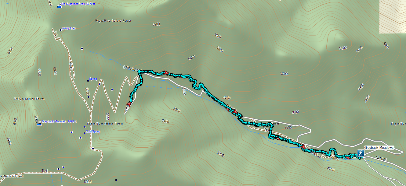
After double checking the weather forecast for our final two days in Grants Pass we’d decided that making an attempt at doing both of our remaining featured hikes on Monday provided us the best chance at semi-decent weather. Both trailheads were less than 40-miles from our room, but Grayback Mountain was to the SE while Babyfoot Lake was to the SW. A minor inconvenience but the extra driving in between might allow for some better weather in the afternoon at Babyfoot Lake. We’d already decided to stick to the shorter options for both hikes, partly due to the forecasted cloudy conditions and partly because Heather hadn’t been feeling well all weekend and I was feeling pretty spent after the previous two days of hiking. We began our morning under surprisingly dry skies as we left Grants Pass but soon found the rain as we neared the O’Brien Creek Lower Trailhead.


For his featured hikes Sullivan uses the O’Brien Creek Upper Trailhead but mentions a section of sharp rocks that can cause flat tires on the way to that trailhead. Starting at the lower trailhead would add 2-miles round trip but we felt it was worth not risking a flat. What we didn’t count on was how steeply sections of the 1-mile stretch would be as it climbed nearly 650′ to the upper trailhead.
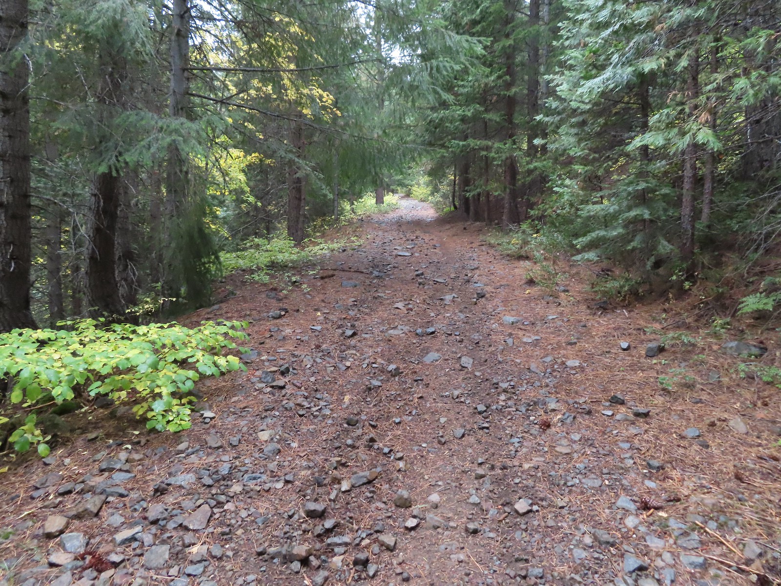
 O’Brien Creek near the trailhead.
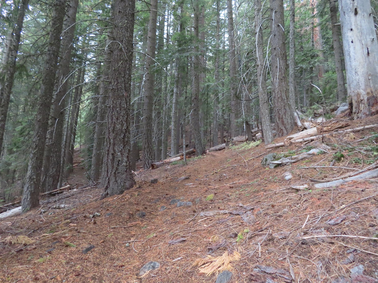
 It seemed like all of the climbs this weekend had been steep.
 After two warm sunny days this hike finally felt like Fall.
 As I approached this footbridge I noticed a yellow jacket fly into the big hole along the right side of the trail. A quick peak in revealed a busy nest so we wound up bushwacking uphill and around it hopping onto the bridge at the edge of the marsh ahead.
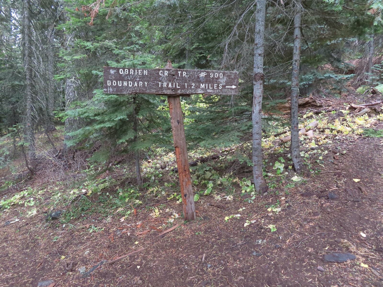
 A nice newer looking sign at the upper trailhead.
At the upper trailhead we gave up on our rain gear. A light mist is all that was falling and our sweat from the climbing was making us wetter than the mist would. From the upper trailhead the trail followed an old roadbed for 0.2-miles.

At the end of the old roadbed this trail too decided to steepen greatly gaining approximately 900′ in nearly a mile to a junction with a spur trail to the Grayback Snow Shelter.

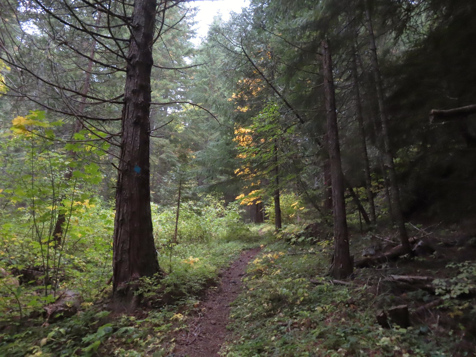
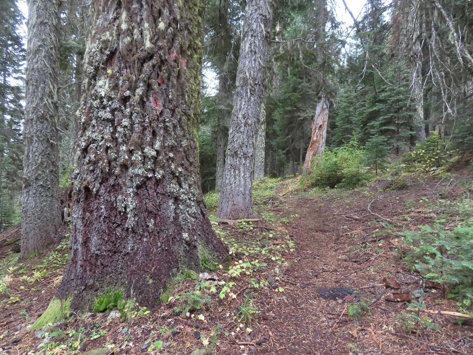
 There were a few really big trees in the forest along the trail.
 Grayback Mountain from the trail.

 The trail crossing O’Brien Creek.
 The junction with the spur trail to the snow shelter. It took me far too long to realize that the sign was upside down. I couldn’t figure out why it thought the Boundary Trail was to the left, after looking at it a few more times it dawned on me that the words were upside down.
 Ah ha! It wouldn’t stay this way but it sure made more sense.
For the longer option to the summit of Grayback Mountain we would have taken the right-hand fork and gained another 1600′ to 1700′ over the 1.8-miles to the summit. Instead we forked left losing a little elevation over the 0.2-miles to the shelter.


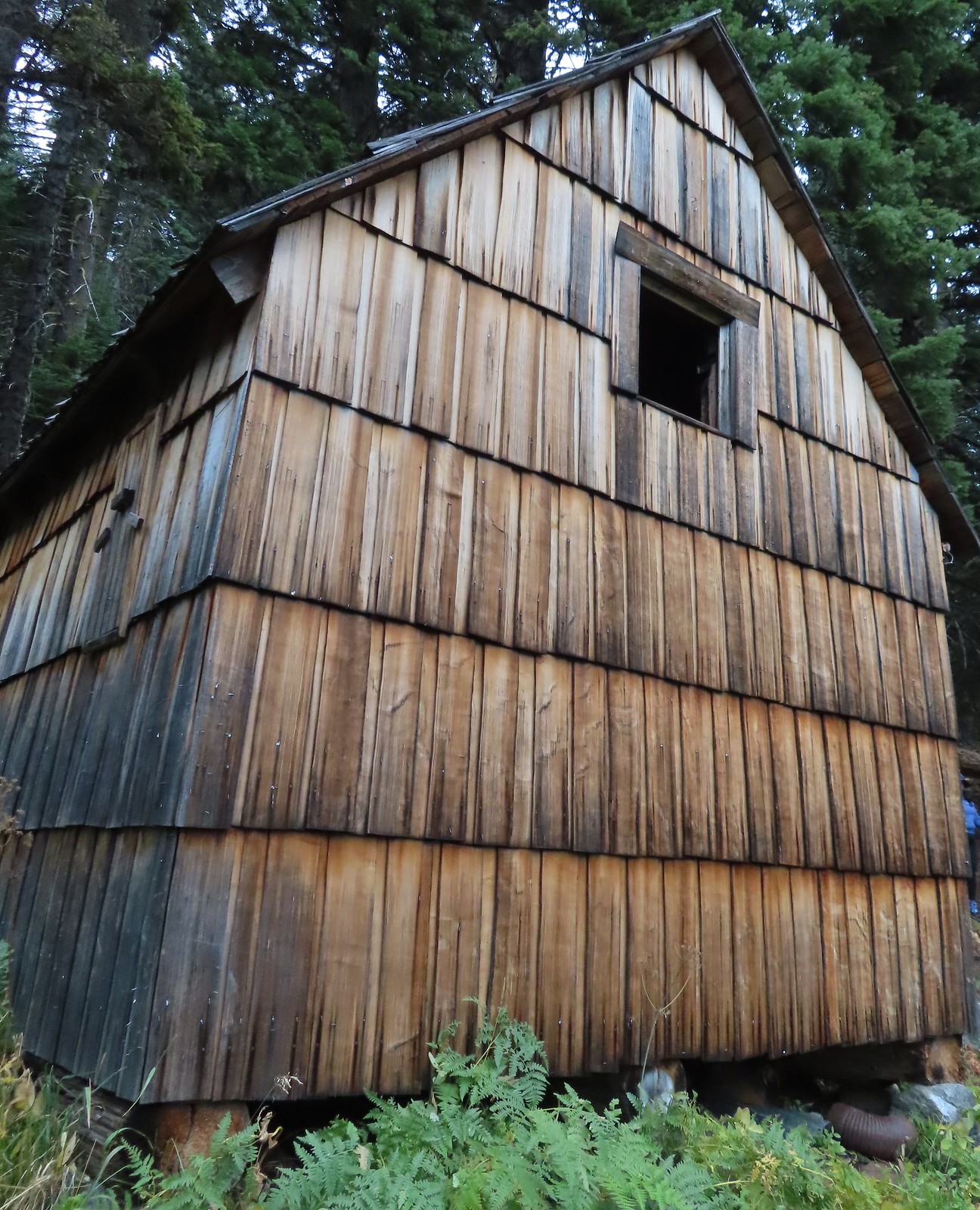
There had been another car at the lower trailhead and we thought that the owner might be staying in the shelter but when we hiked past the shelter into Grayback Meadows we could hear voices in the trees.
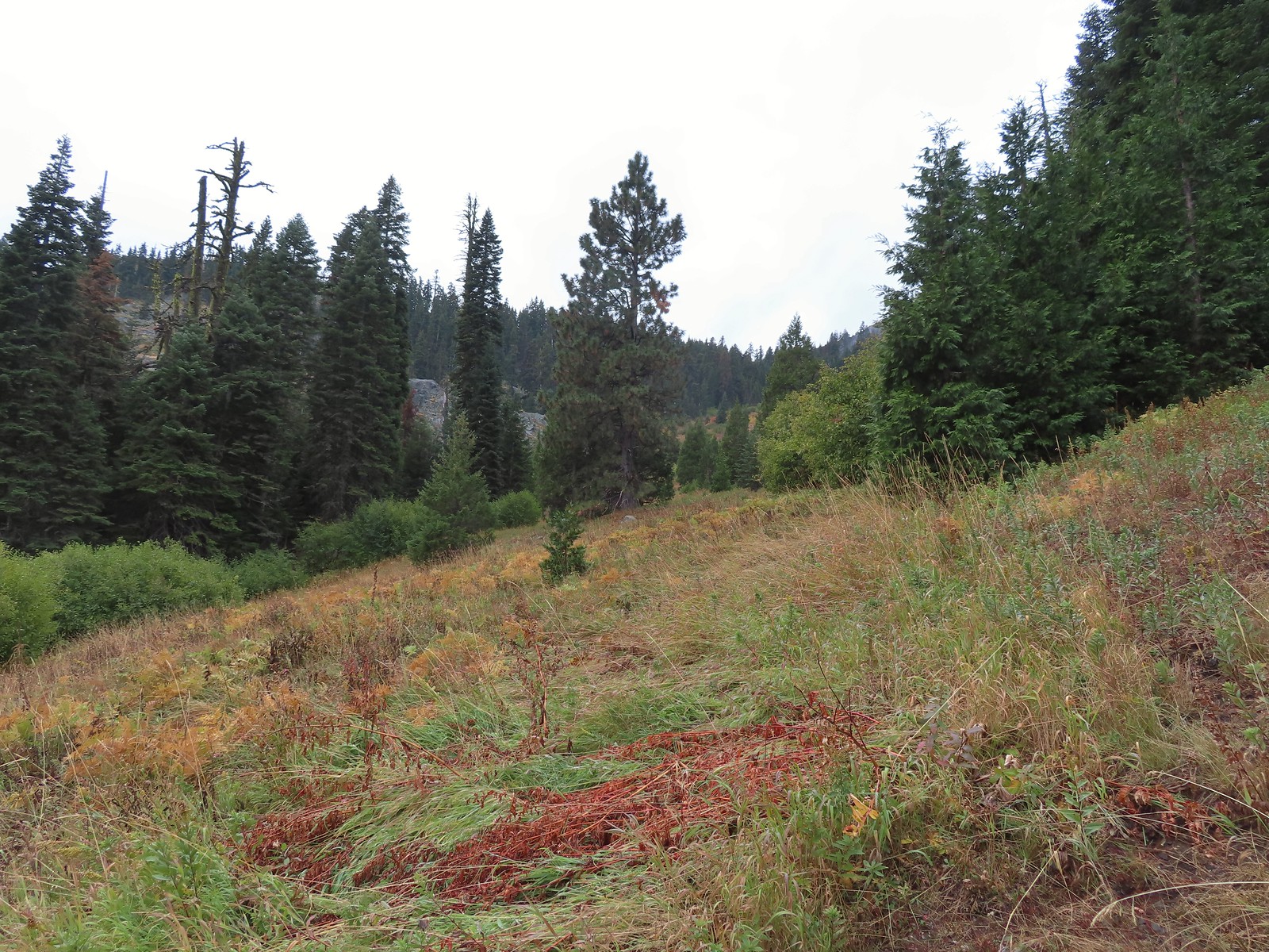

 There used to be a cabin out in the meadows and now there is a snow gauge and a campsite which may be where the voices were coming from.
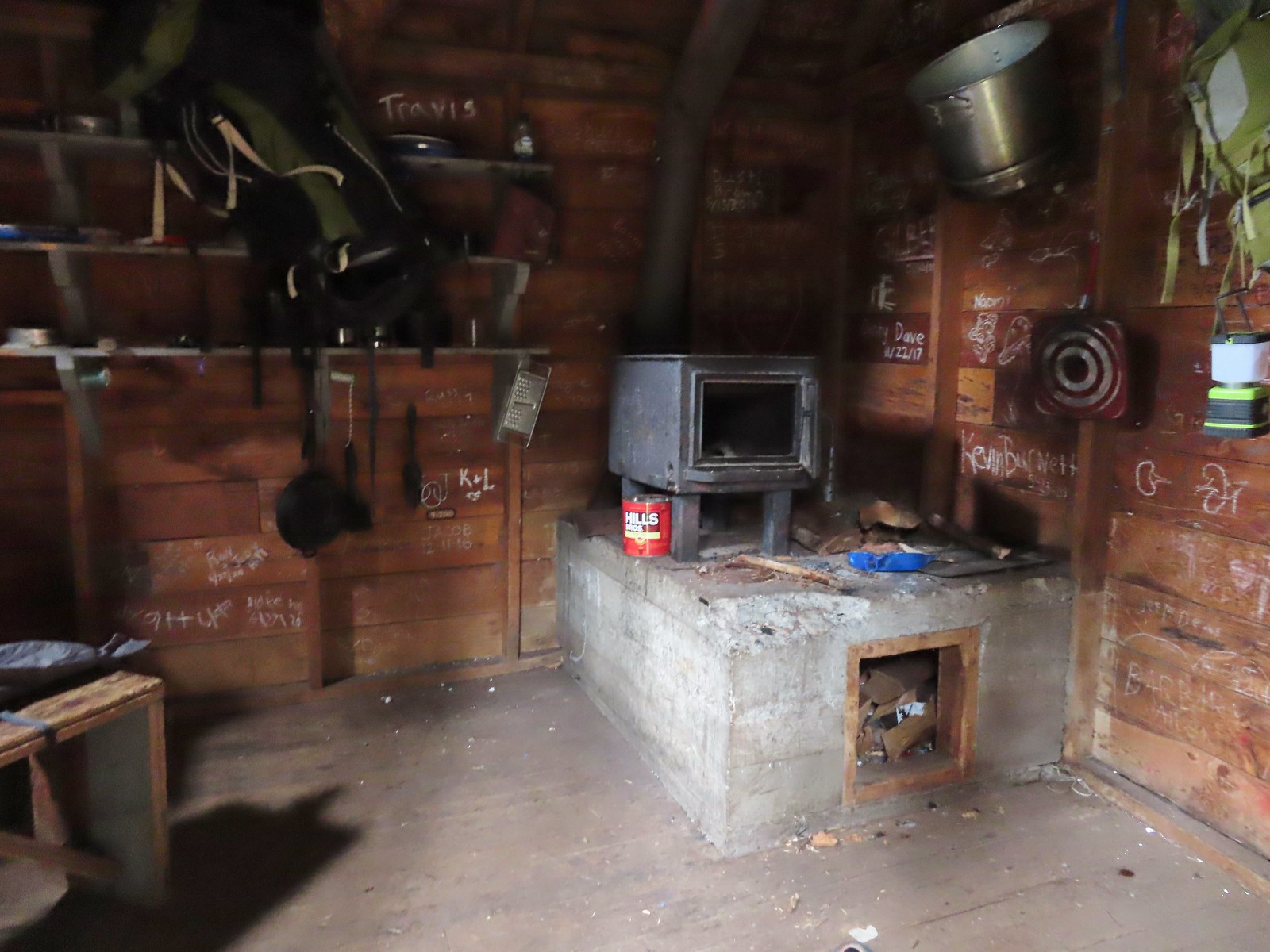 We took a quick peak inside the shelter where some of the backpacker’s stuff was.
After checking out the shelter and meadows we returned the way we’d come.
 It was steep going down too.

 Trail pointer near the upper trailhead marking the continuation of the O’Brien Creek Trail to the lower trailhead.

 We always enjoy seeing madrones on our hikes in Southern Oregon.
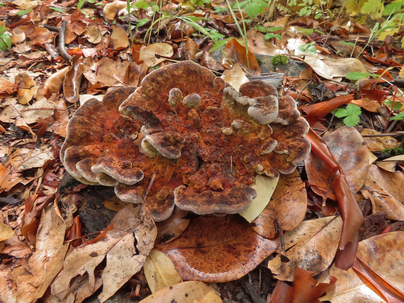

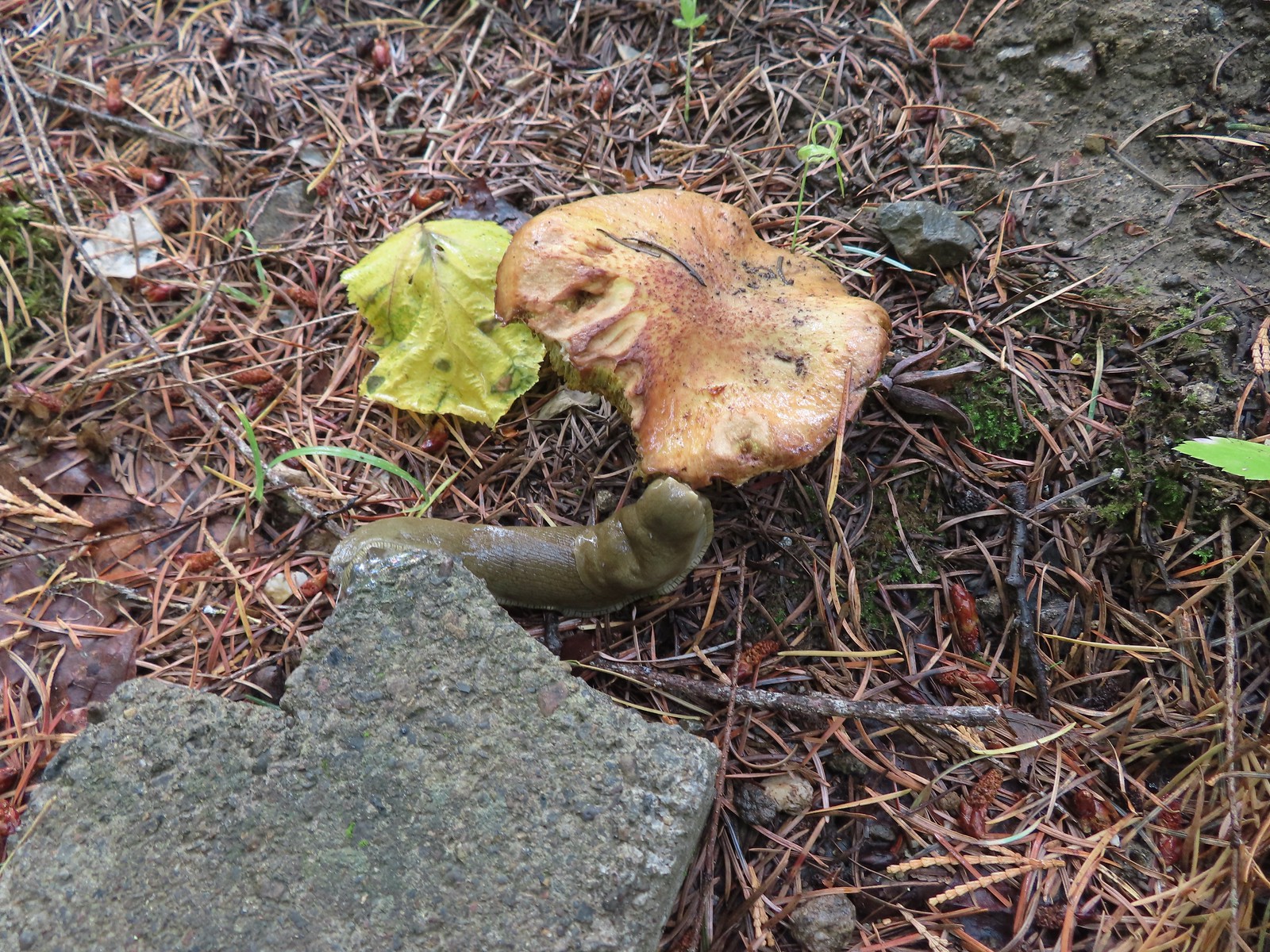 Slug on a shroom.
 Bug on a shroom.

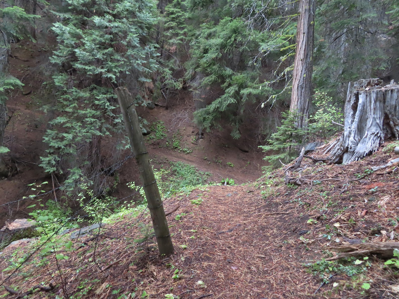
 One more steep drop to the lower trailhead.
Our hike here came to 4.8-miles and upwards of 1750′ of elevation gain.
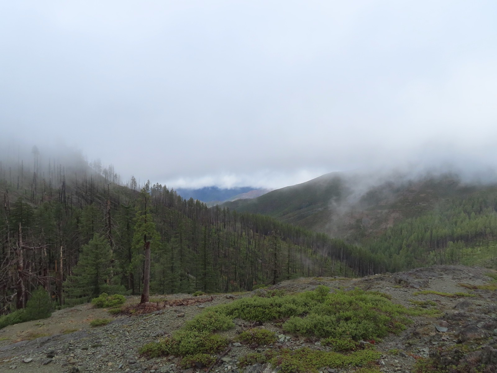
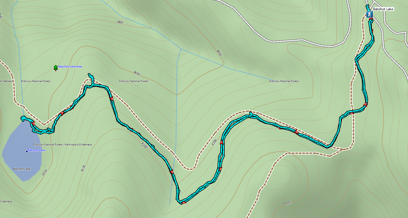
From the trailhead we drove North to Murphy then cut over to Highway 199 and headed back South to the Babyfoot Lake Trailhead. While the amount of precipitation during our hike to Grayback Meadows had been far less than we’d expected (we even spotted a small window of blue sky) it was raining steadily as we started up the gravel roads to the Babyfoot Lake Trailhead. Not only that but we quickly found ourselves in the cloud limiting visibility so it was a tedious 12-miles of bumpy roads.
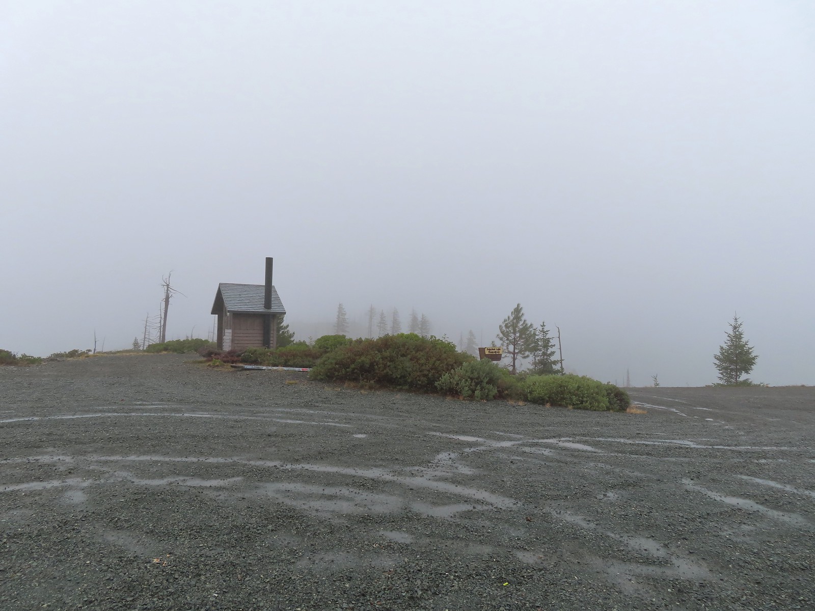
Wind and rain met us at the trailhead and our rain jackets made a second appearance. The trail began at a signboard and traversed a hillside below Hungry Hill for 0.3-miles to a fork.

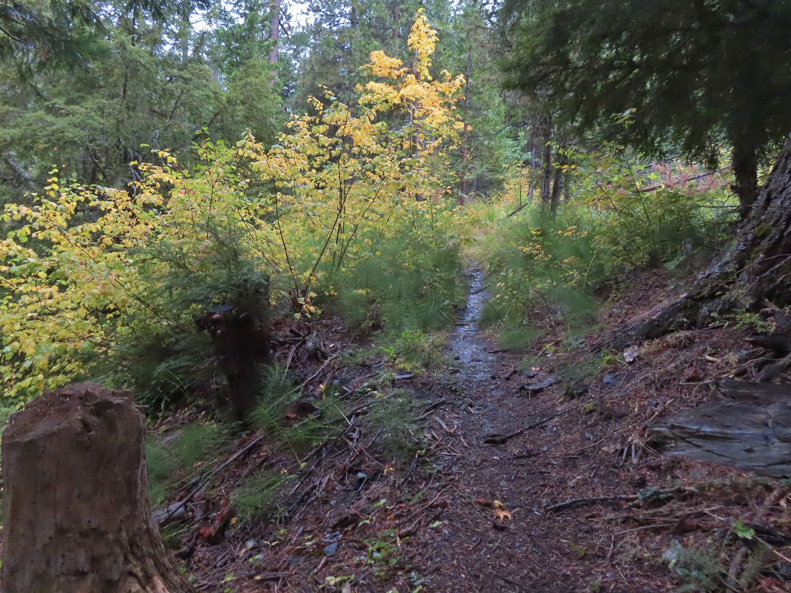
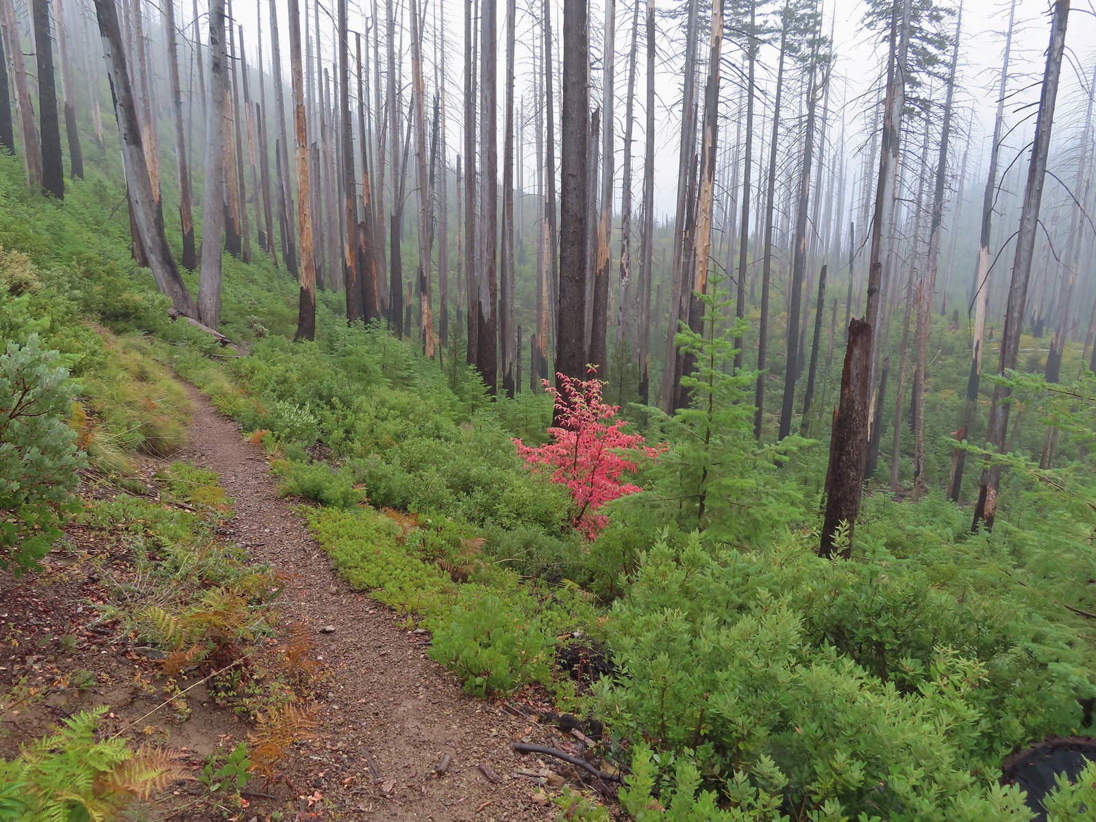
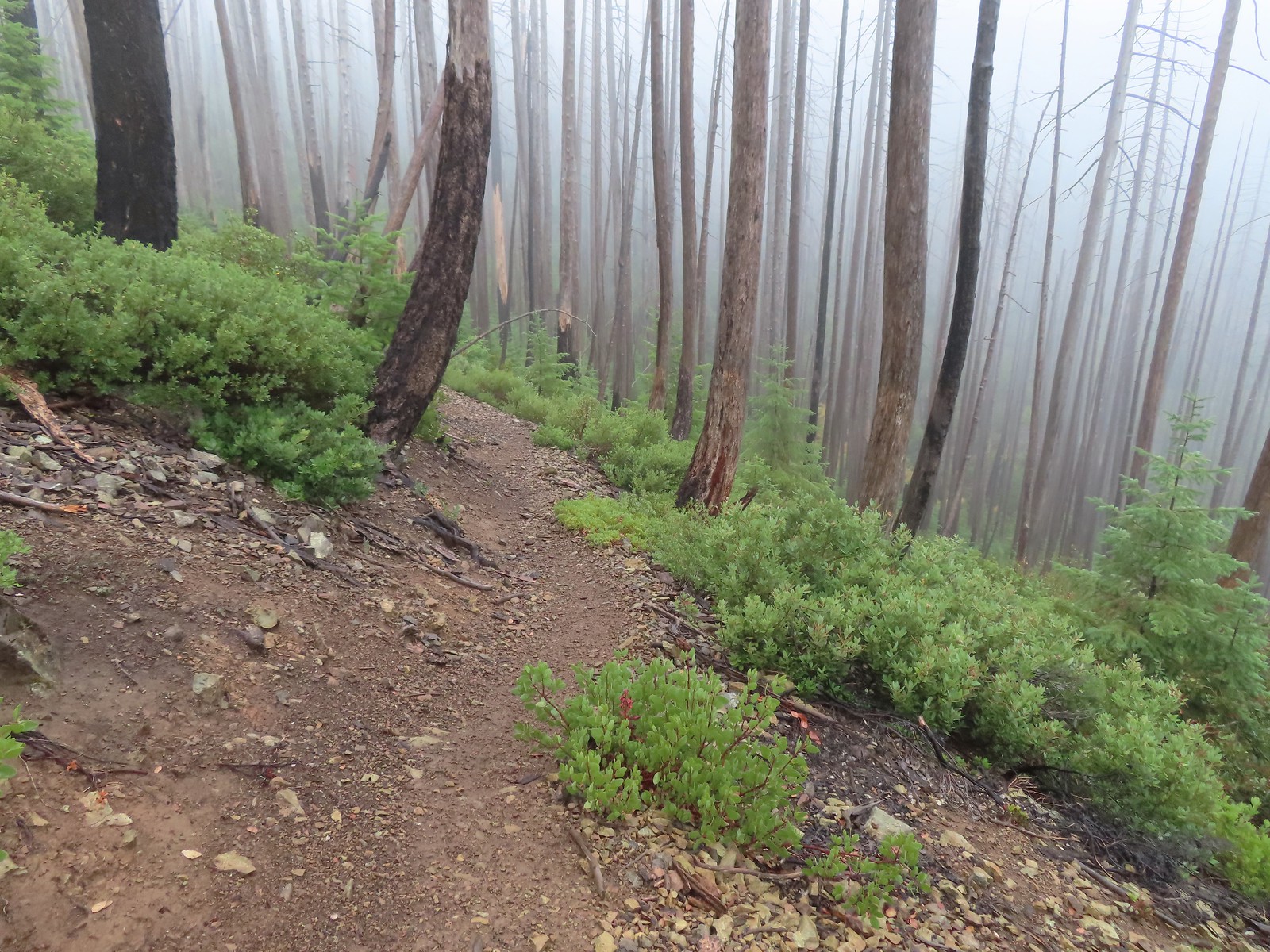
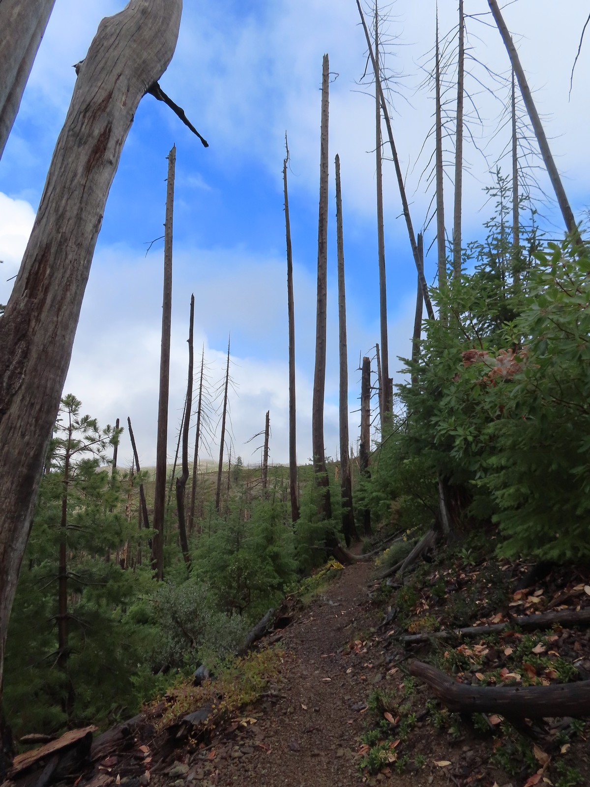
 The forest is recovering from the 2002 Biscuit Fire.
 To the left was the Babyfoot Lake Rim Trail. Sullivan’s longer option here include following this trail 0.9-miles to a viewpoint above the lake. Given the fog that seemed pointless, and it also looked like that trail was in need of some maintenance.
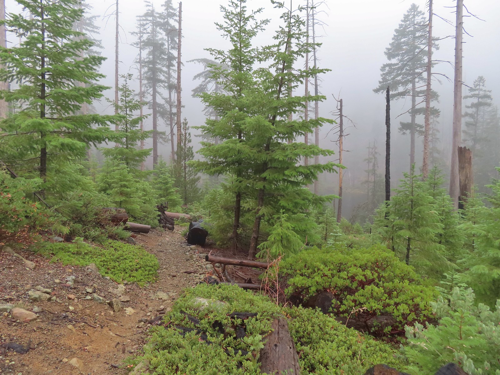
We forked right and continued to descend through the fog for nearly a mile to the lake.
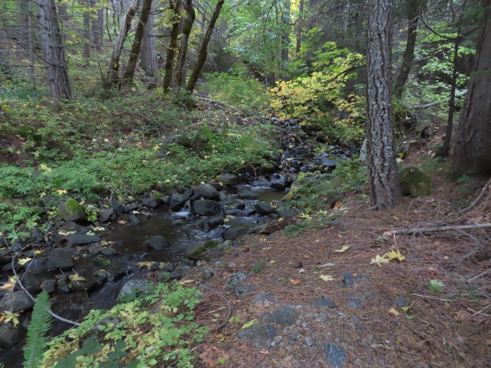
 A small stream with crystal clear water along the trail.
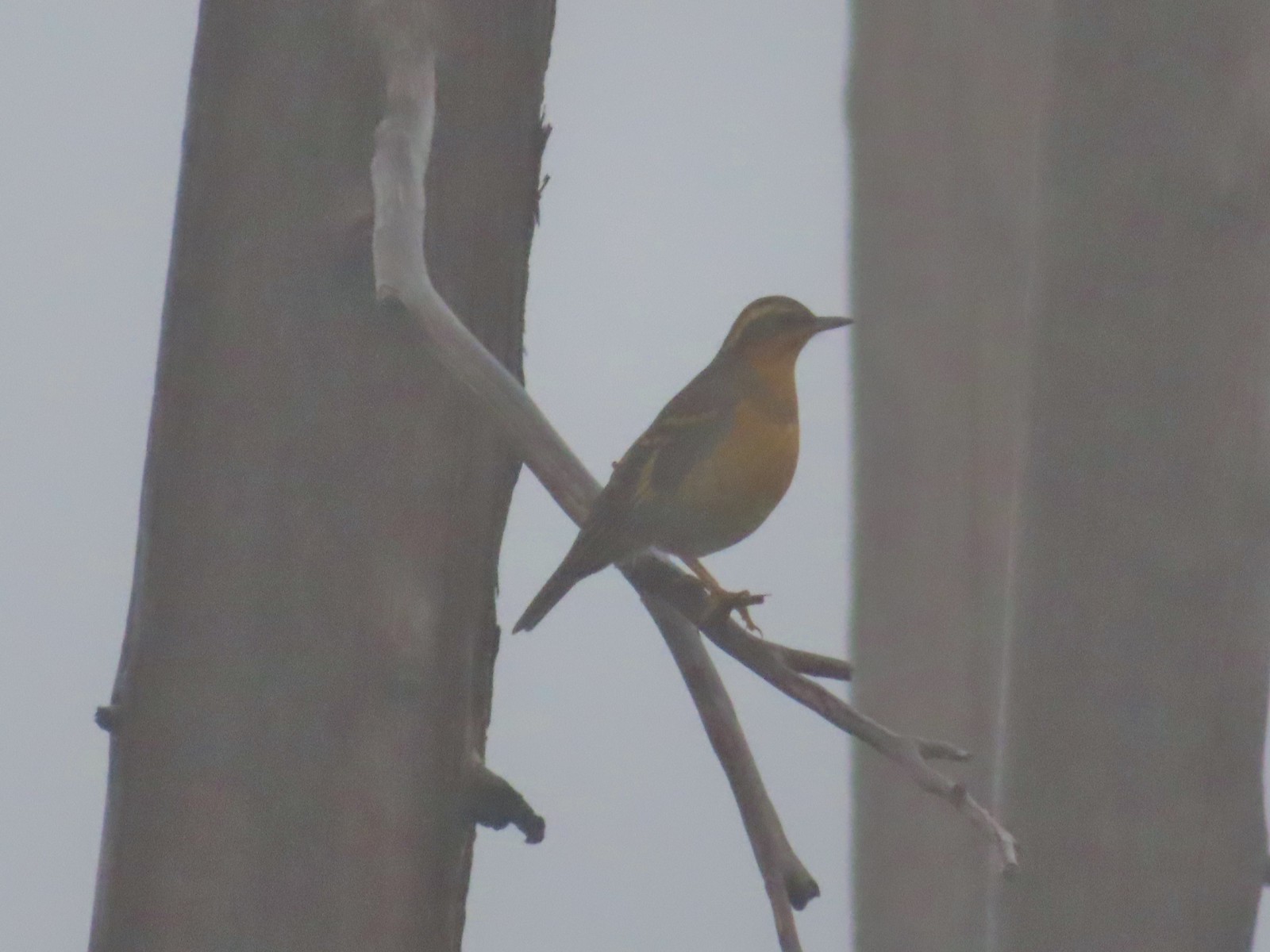 My nemesis, the varied thrush.
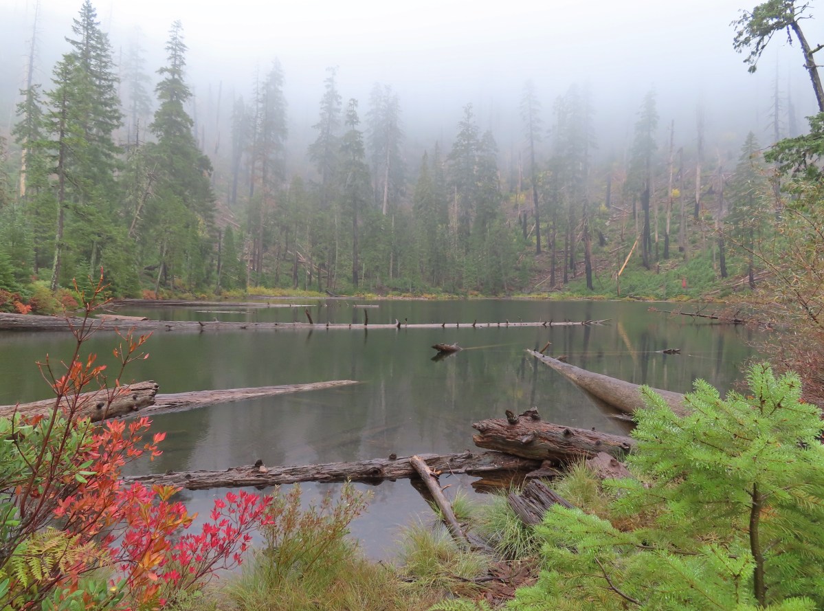
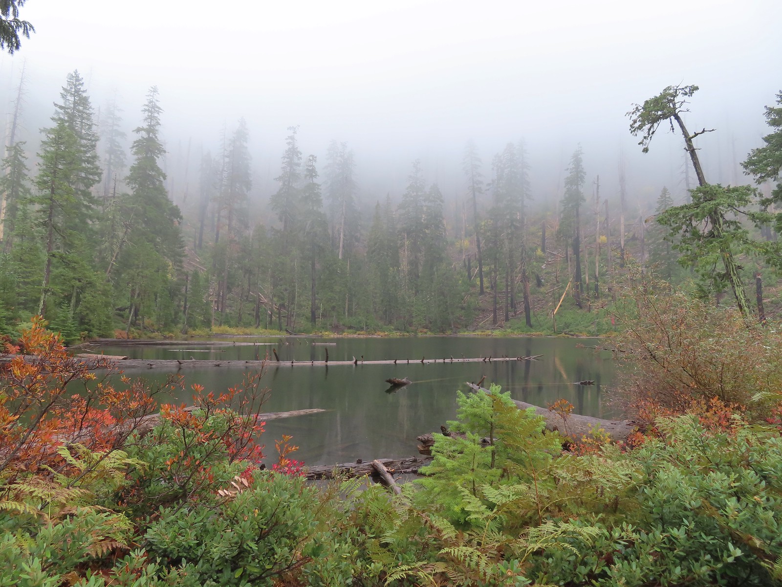
 Near the lake the trail passes this rock outcrop which is a viewpoint without the fog.
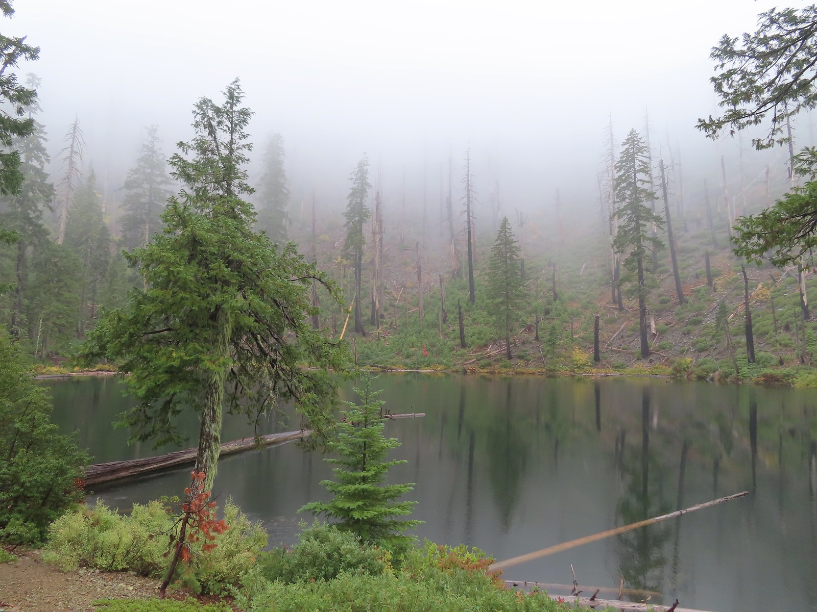
 Some of the trees around the lake survived the 2002 fire.
Babyfoot Lake lies just within the Kalmiopsis Wilderness boundary, marking just the second time (post) we’d visited this nearly 180,000-acre wilderness.
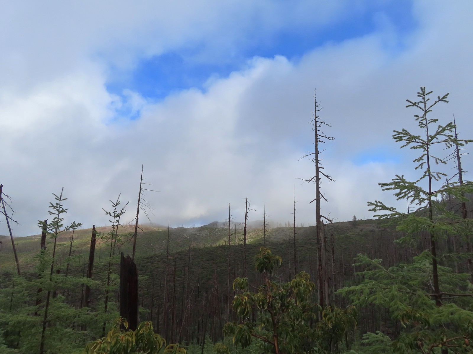
After visiting the lake we headed back up toward the car. Before we’d even made it past the rocky viewpoint the clouds began to break up revealing some patches of sunlight and blue sky.

 I of course had to head out onto the viewpoint given the rapidly changing conditions.

Conditions continued to improve as we climbed back to the trailhead revealing more of the wilderness and surrounding terrain.
 The patterns on this snag caught my eye.

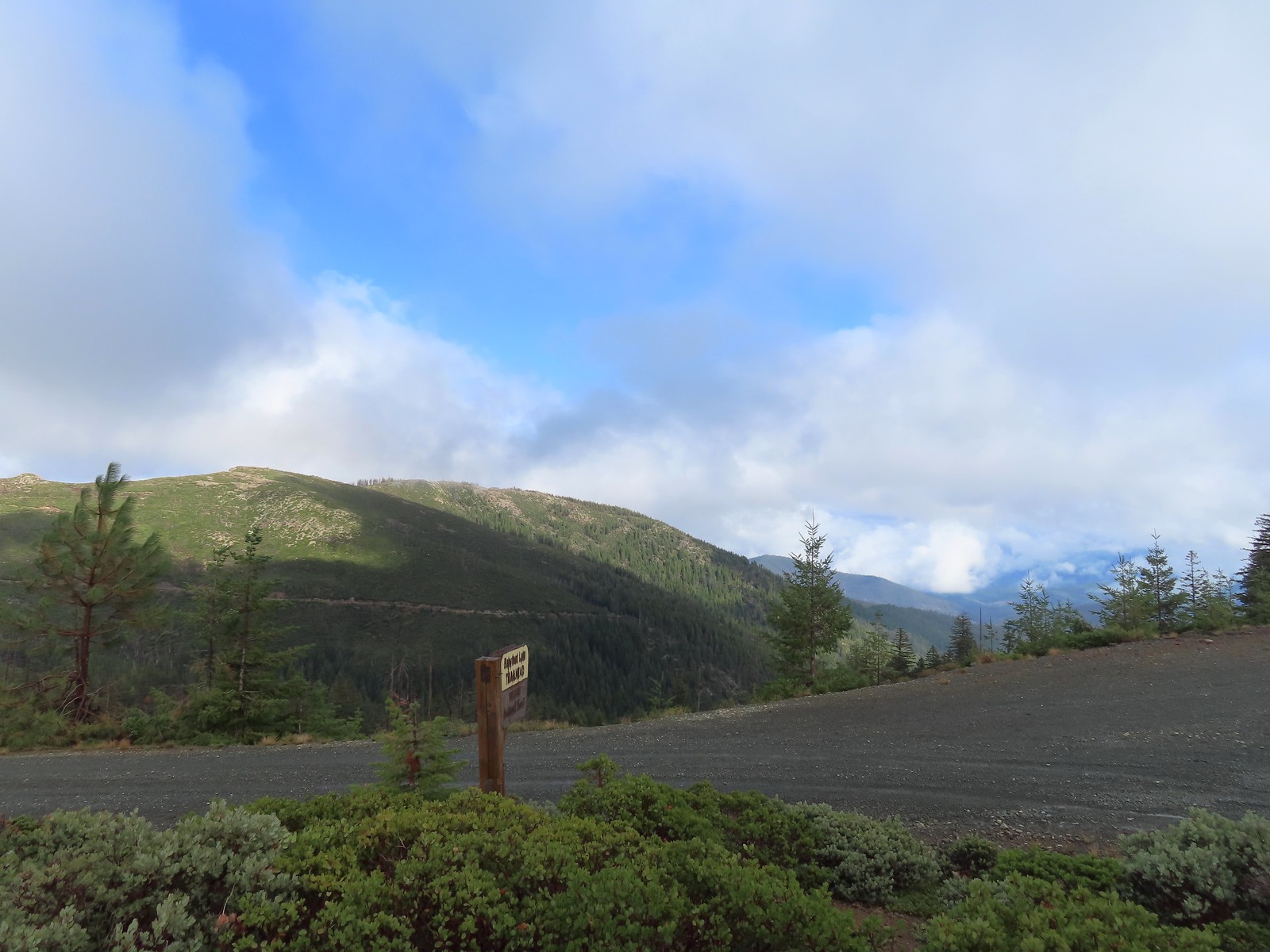
 The trailhead on the ridge ahead.
This short hike came to just 2.6-miles and 360′ of elevation gain and marked the completion of our quest to hike at least part of all 100 featured hikes in William L. Sullivan’s “100 Hikes/Travel Guide Southern Oregon & Northern California” edition 4.2 (post).
With Southern Oregon complete, joining the Central Oregon Cascades, Coast & Coast Range, and NW Oregon & SW Washington, we are down to just 16 Eastern Oregon hikes to reach 500. Happy Trails!
