Categories
Bull of the Woods/Opal Creek Hiking Old Cascades Oregon Trip report

Bull of the Woods Lookout & Pansy Lake – 8/16/2019

**Note a portion of this hike burned in the 2021 Bull Complex.**

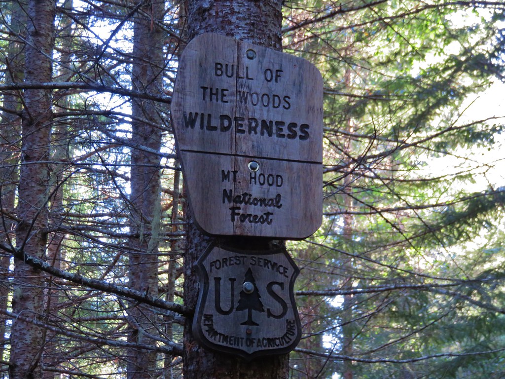
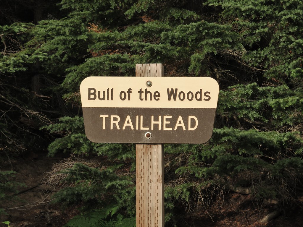
For the 5th hike of our vacation we finally got around to one of Sullivan’s featured hikes that we hadn’t done yet, Pansy Lake.  Pansy Lake is located in the Bull of the Woods Wilderness in a basin below the Bull of the Woods Lookout.  In his guidebook Sullivan has you start the hike from the Pansy Lake Trailhead which is just over a mile from the lake. He gives two options, a 2.4 mile out-and-back to Pansy Lake or a 7.1 mile loop past the lake up to the lookout and then back down passing Dickey Lake along the way. Either of these options would have caused us to break our self-imposed rule against driving for more time than we spend hiking due to the driving time to the Pansy Lake Trailhead being roughly 2:45 for us. Fortunately Sullivan also mentions the option of starting at the Bull of the Woods Trailhead for an easier hike to the lookout. The Bull of the Woods Trailhead was about a 15 minute closer drive and it added almost 3 miles to the round trip which provided an acceptable drive/hike ratio.

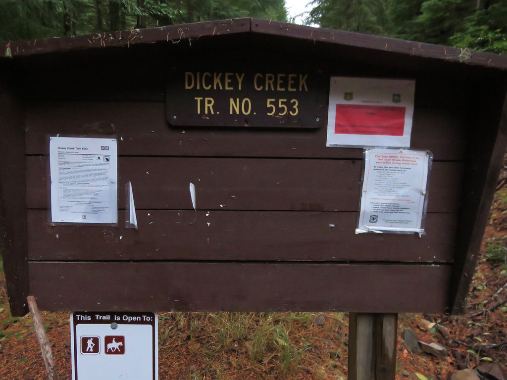
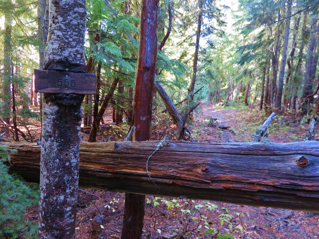
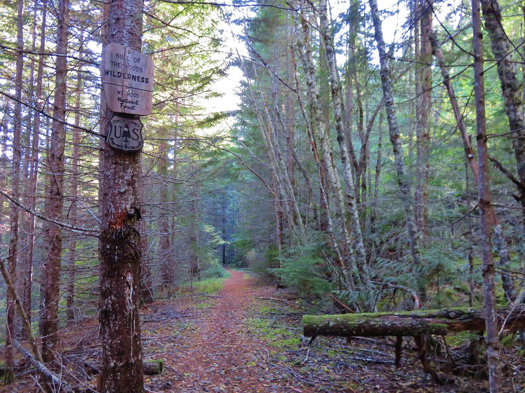
With our plan in place we set off on the drive which proved to be a bit of an anomaly. The trailhead is located at the end of Forest Road 6340. Where the road was good it was an excellent gravel road but there were a couple of ugly obstacles along the way. The first was a slide that covered the road, half of which was impassable while the spot that could be driven over required a very slow, bumpy crossing (high clearance is probably necessary until it gets cleaned up). This was prior to a fork where the right hand fork (FR 6341) continued to the Pansy Lake Trailhead. After this fork sections of FR 6340 were deeply rutted by channels created by runoff again requiring careful placement of tires. We arrived at the trailhead no worse for wear though and set off on the signed trail.
IMG_6715

IMG_6713

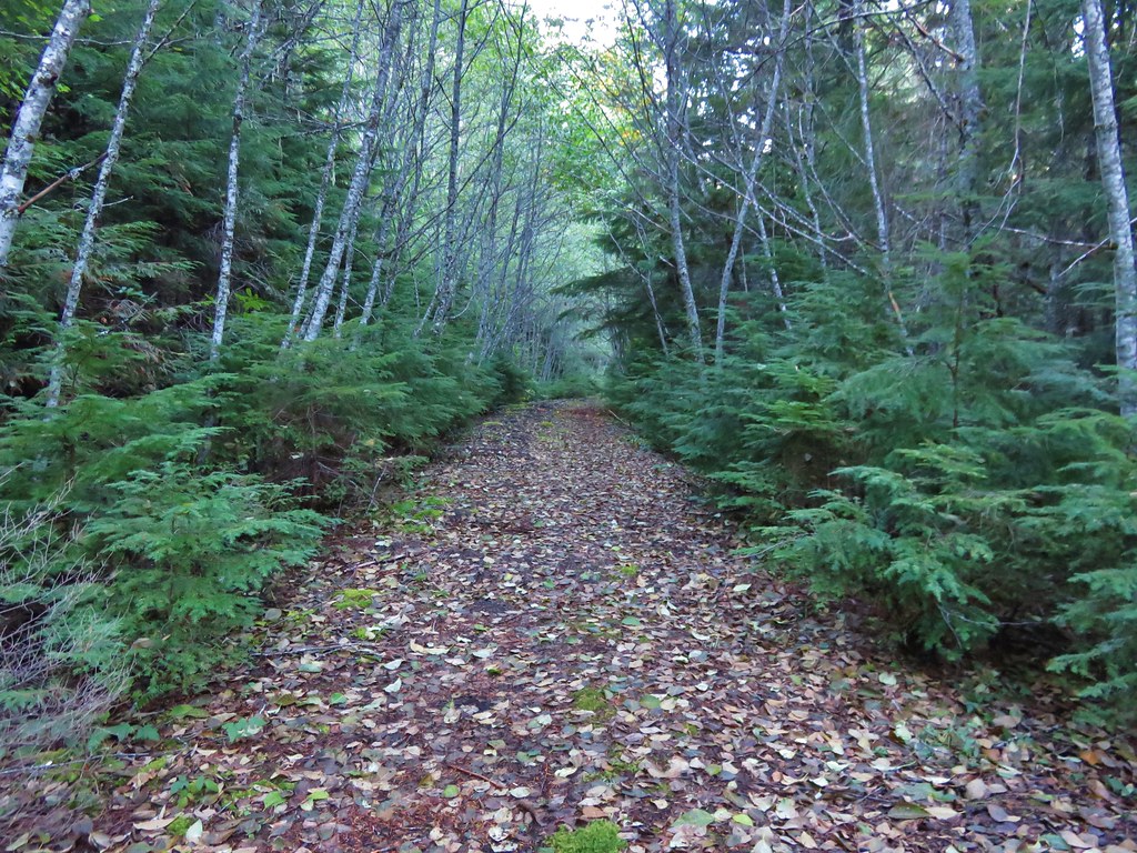
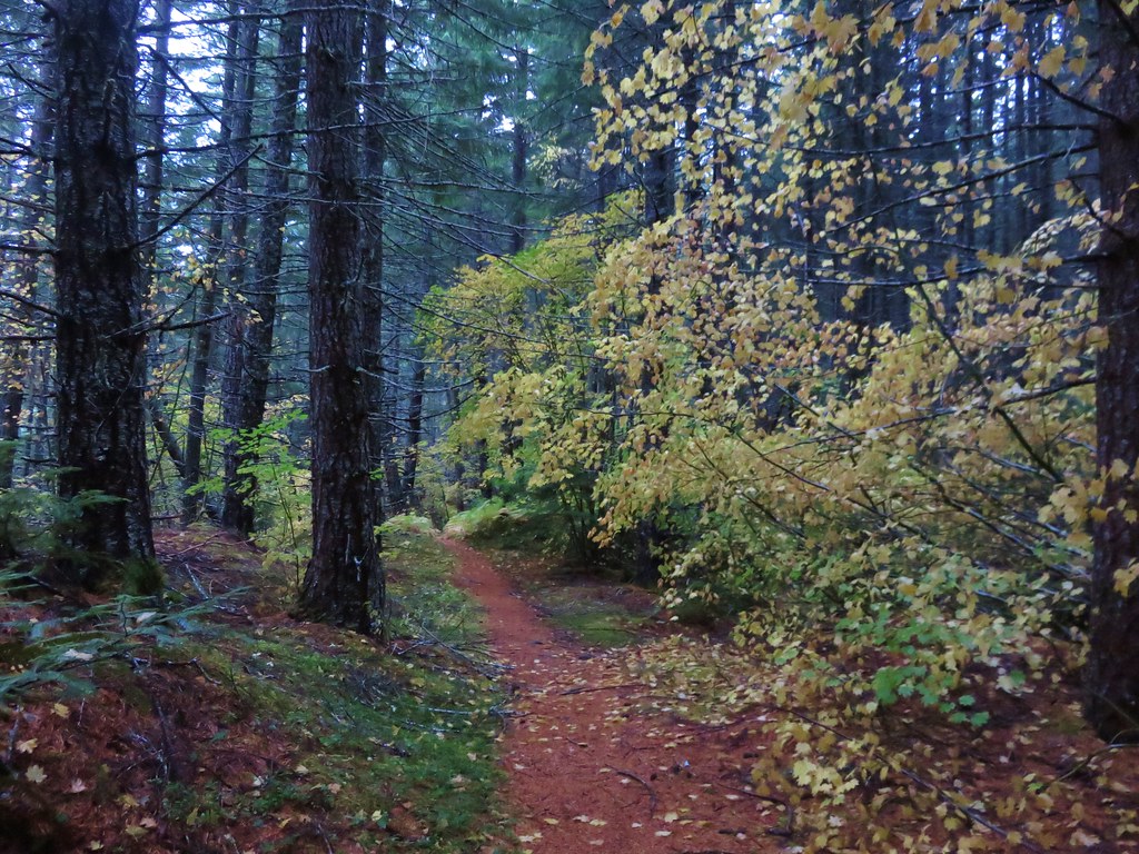
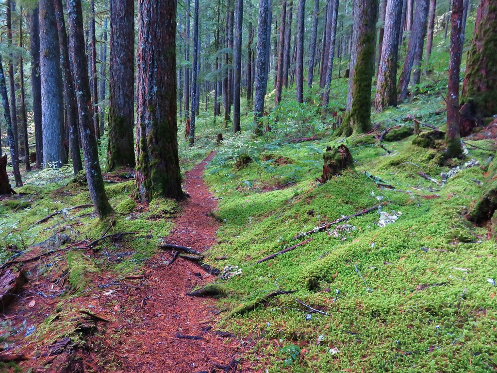
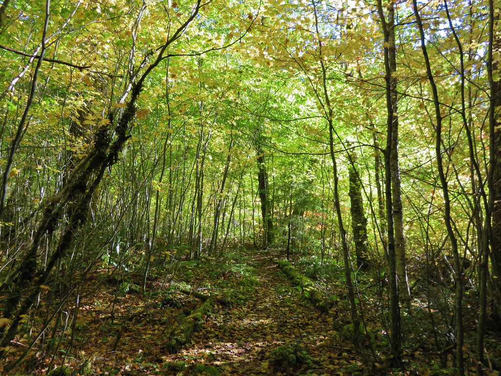
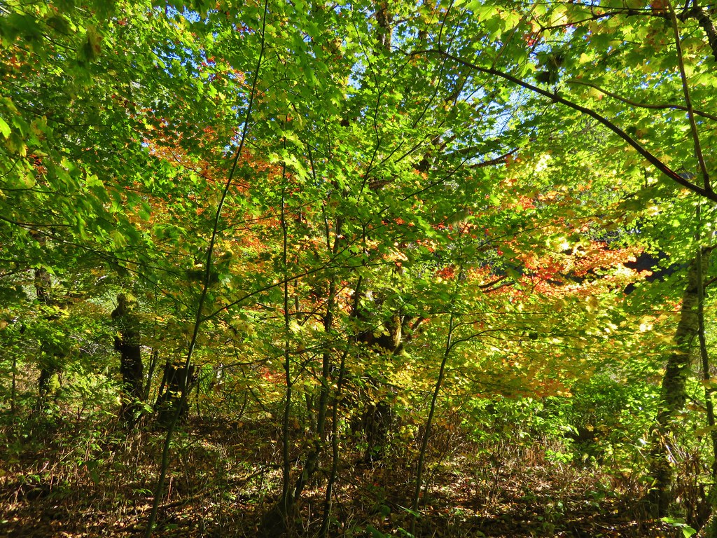
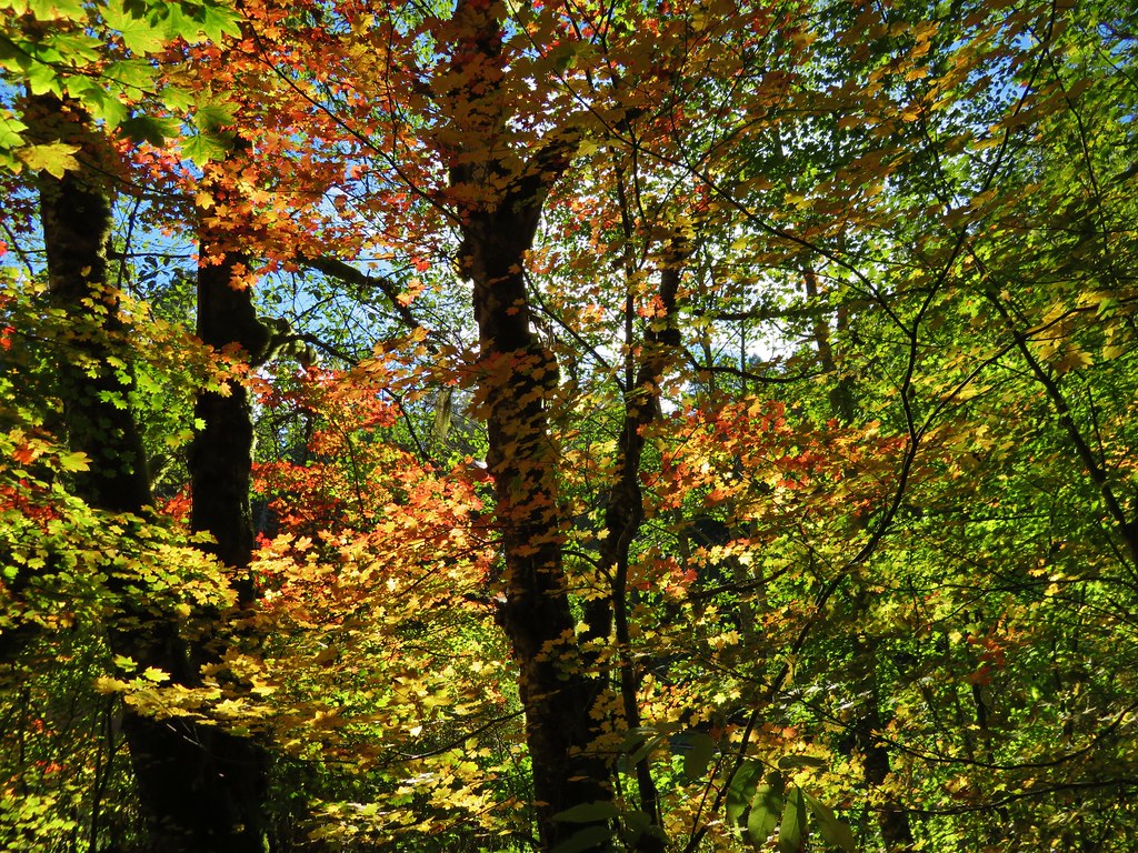
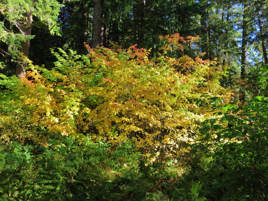
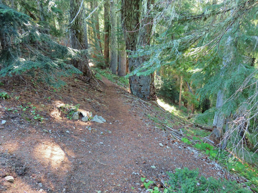
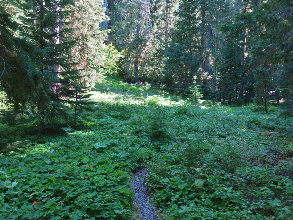
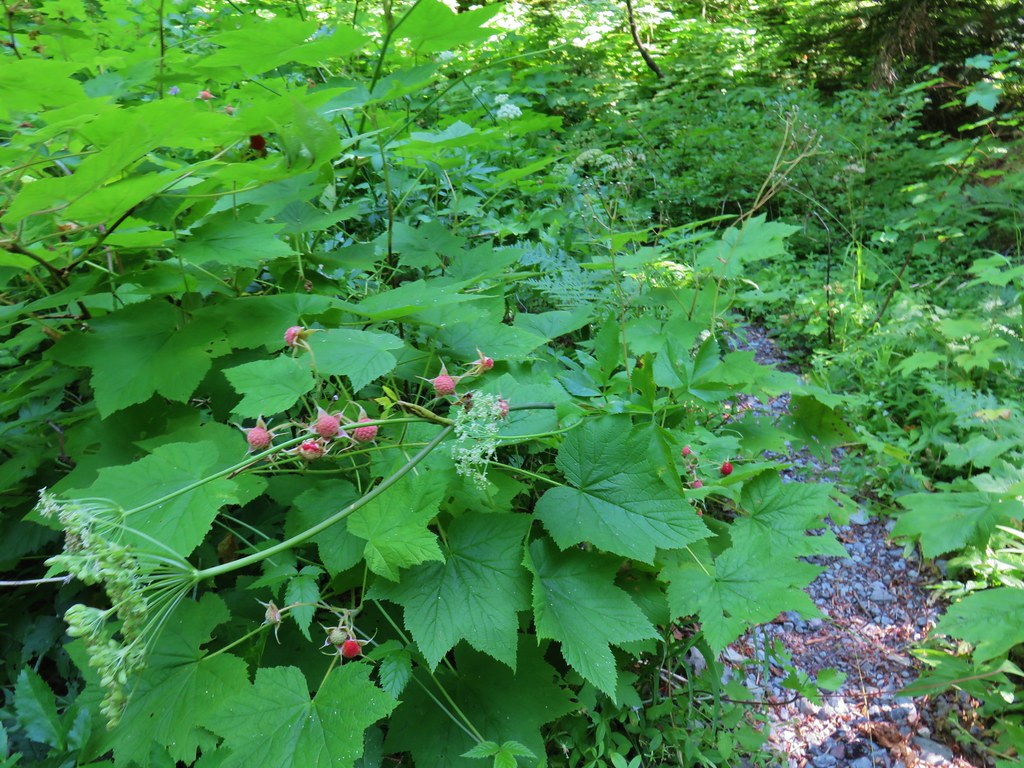
The first few hundred yards were a little brushy but soon the vegetation gave way to a huckleberry filled forest.
IMG_6724

IMG_6725

IMG_6726

IMG_6717

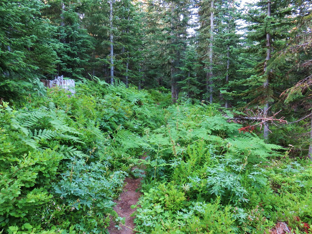
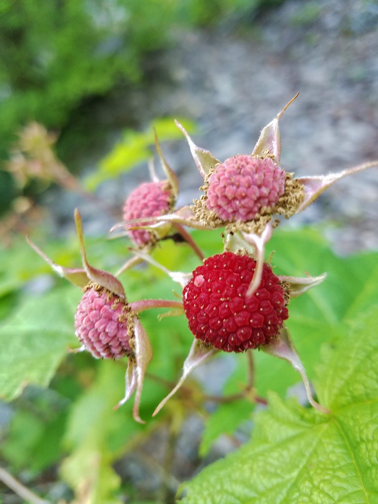
There were ripe berries everywhere and they were big juicy berries too. In fact for most of the day there were ripe berries available and we ate quite a few. We weren’t the only ones feasting on berries though as we counted no less than 13 piles of berry filled bear scat along the trails.
IMG_6734

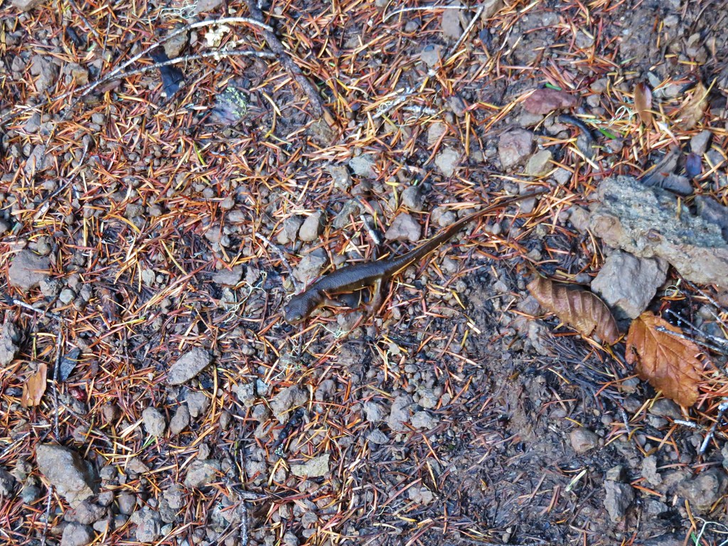
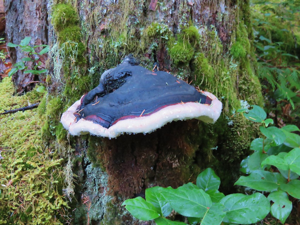
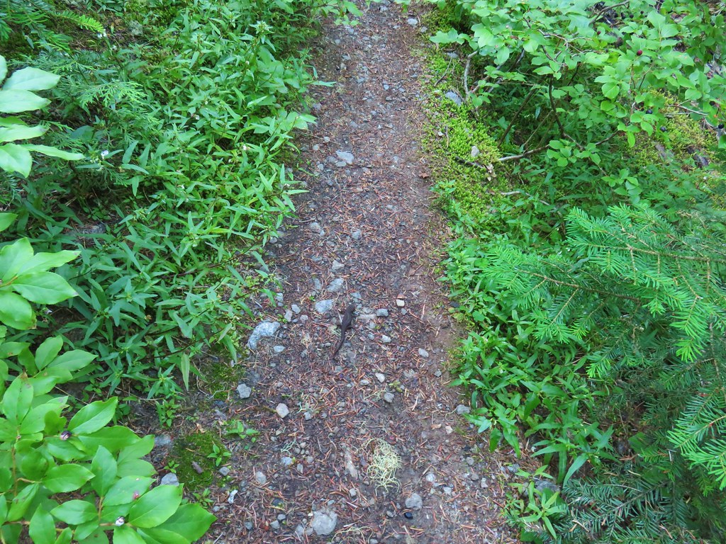
Although we kept our eyes open for a bear all we ran into on the trail was a rough skinned newt.
IMG_6740

IMG_6743

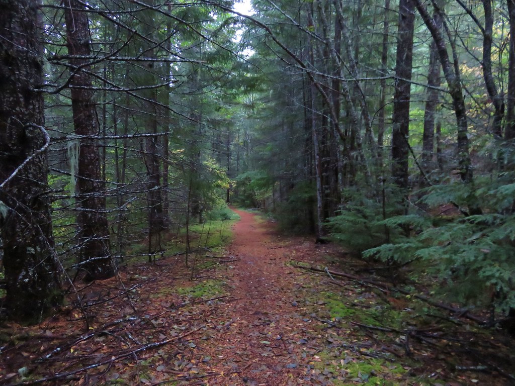
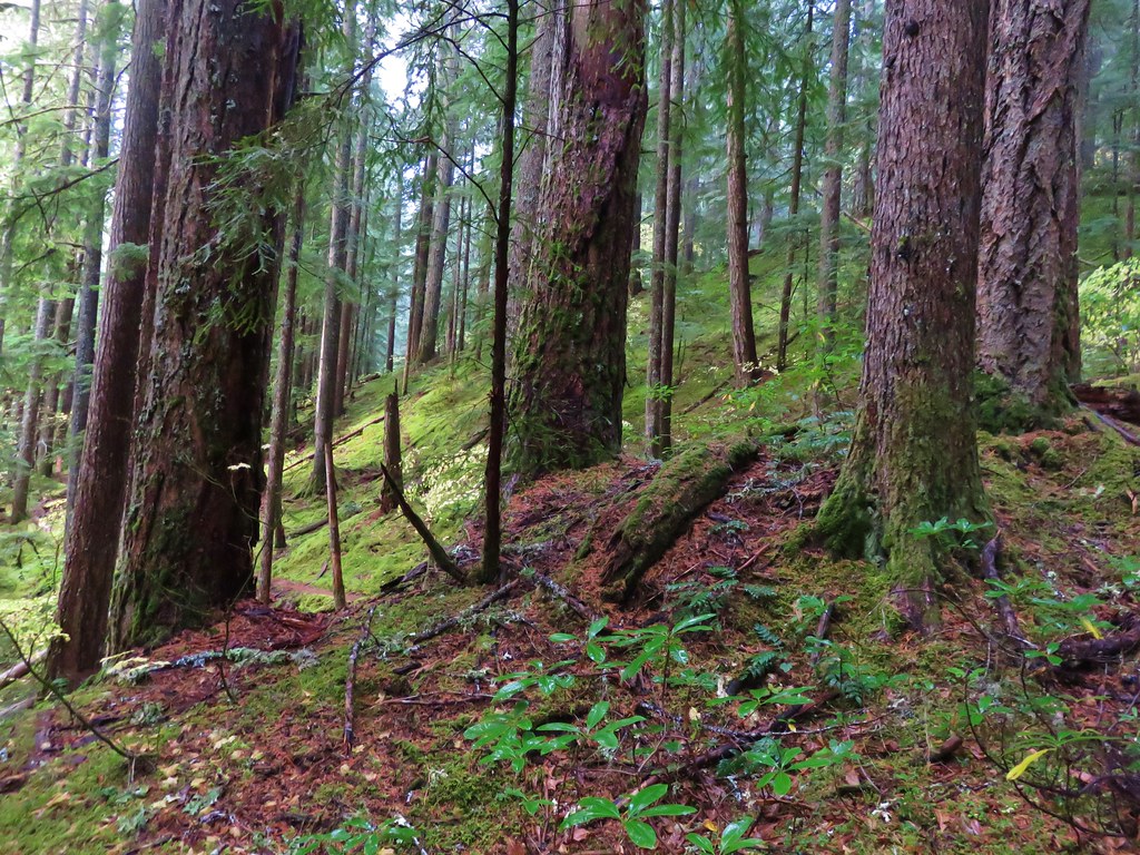
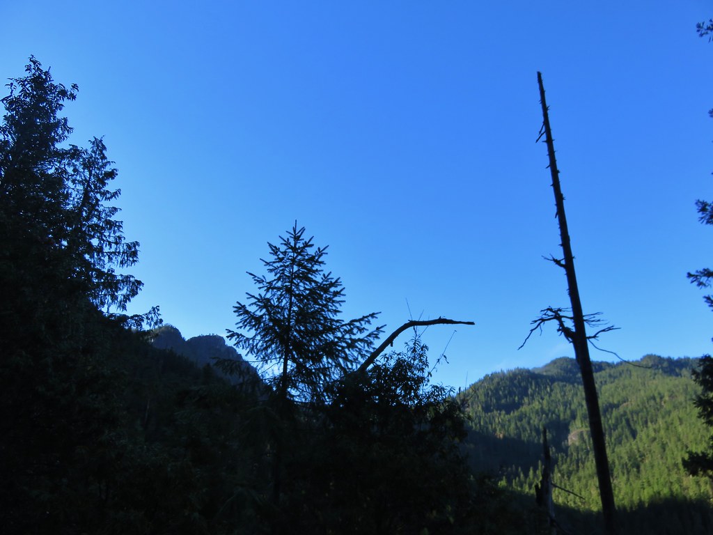
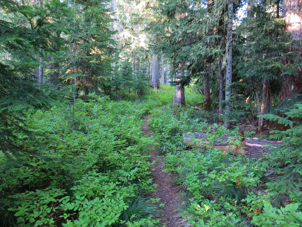
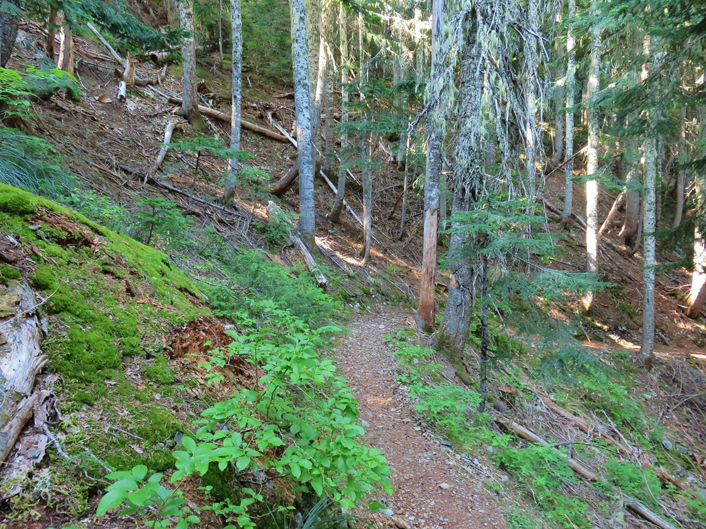
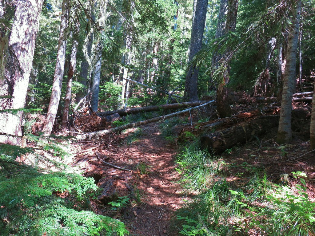
The Bull of the Woods Trail climbed gradually as it passed below North and South Dickey Peaks.
IMG_6736

A little over 2.25 miles from the trailhead we arrived at a junction with the Dickey Lake Trail. We would be coming back up that trail later after visiting Pansy and Dickey Lakes.
IMG_6746

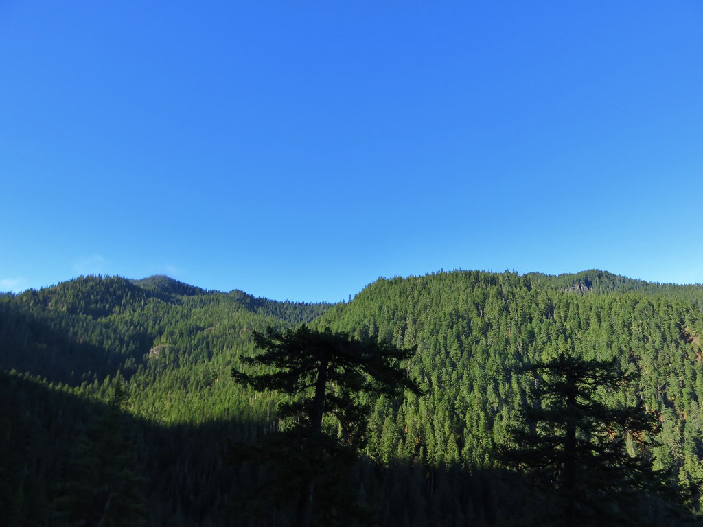
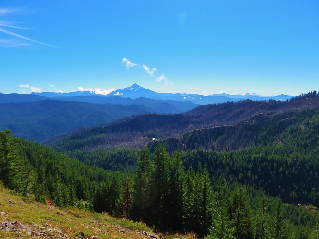
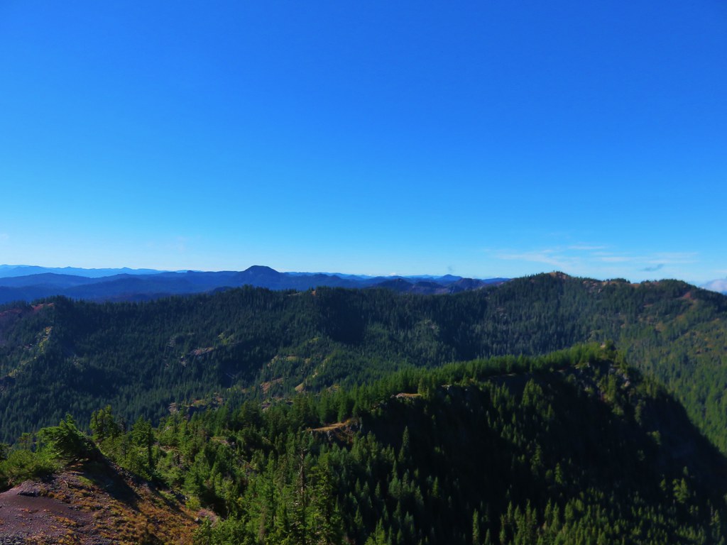
As the trail continued to climb we were treated to a couple of different views. First was to the west across the Pansy Lake Basin.
IMG_6750

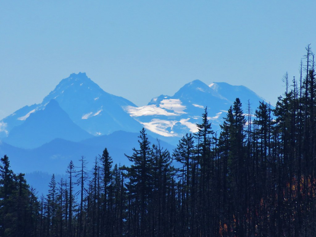
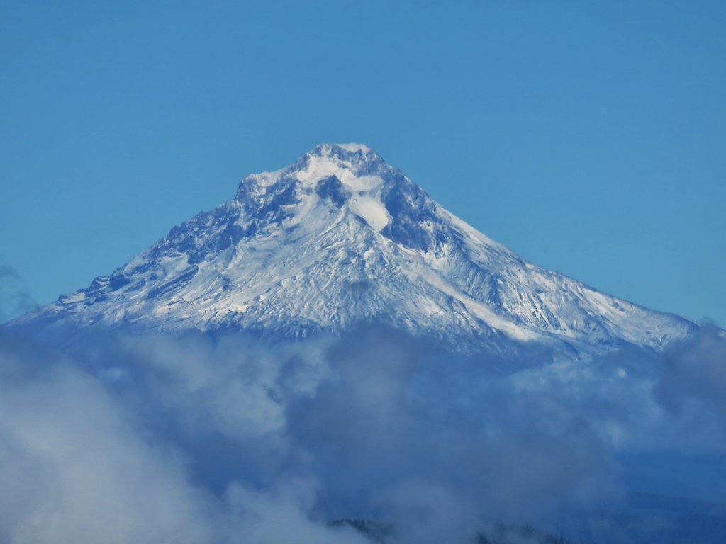
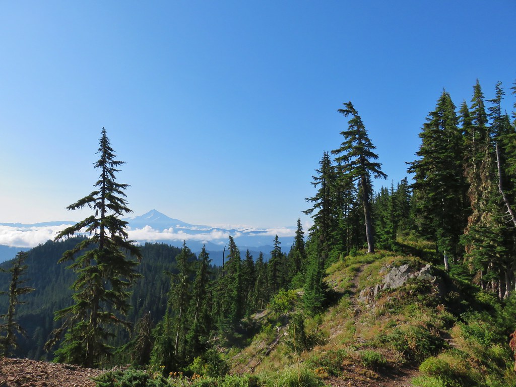
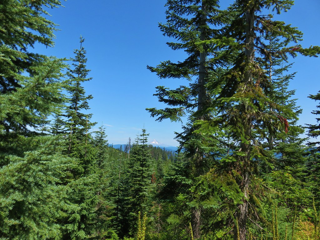
A little further along, when the trail crested the ridge, we got a look a Mt. Hood which was rising above some clouds.
IMG_6754

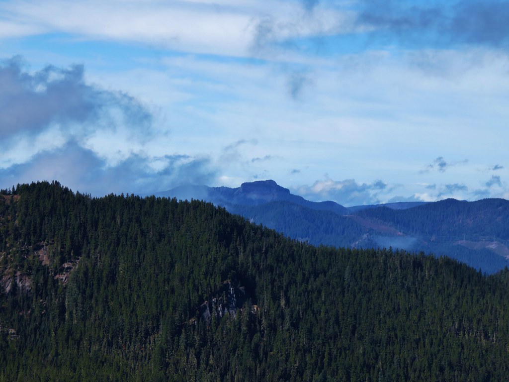
The trail left the ridge for a bit and then regained it where the view also included Mt. Jefferson to the SE.
IMG_6763Mt. Hood

IMG_6772Mt. Jefferson

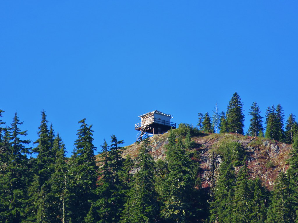
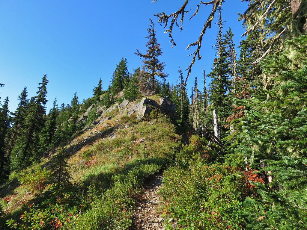
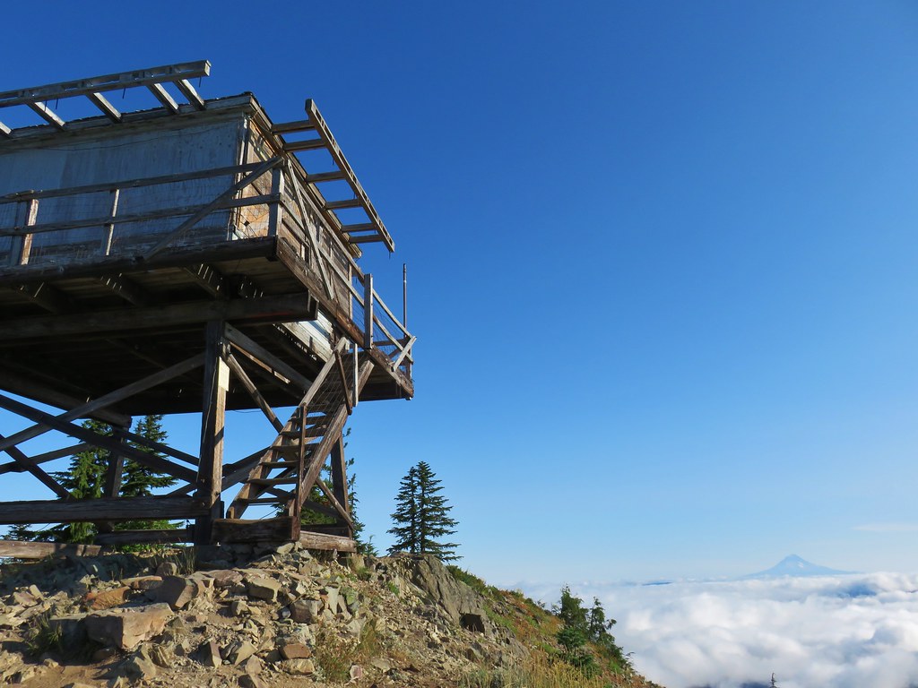
The trail then followed a narrow rocky ridge passing below the lookout and coming up to it from the other side, 3.5 miles from the trailhead.
IMG_6770

IMG_6777

IMG_6785

IMG_6789

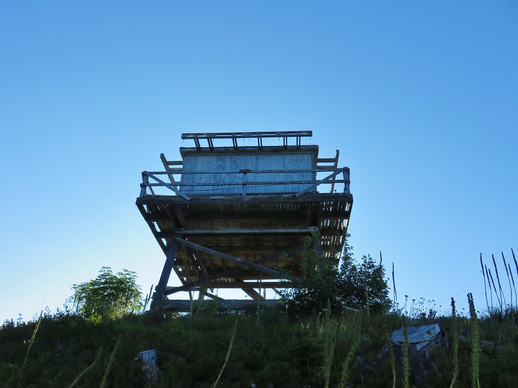
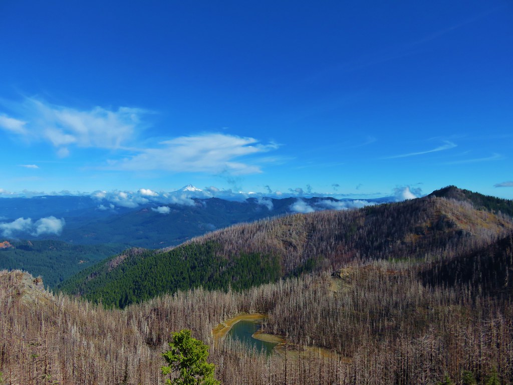
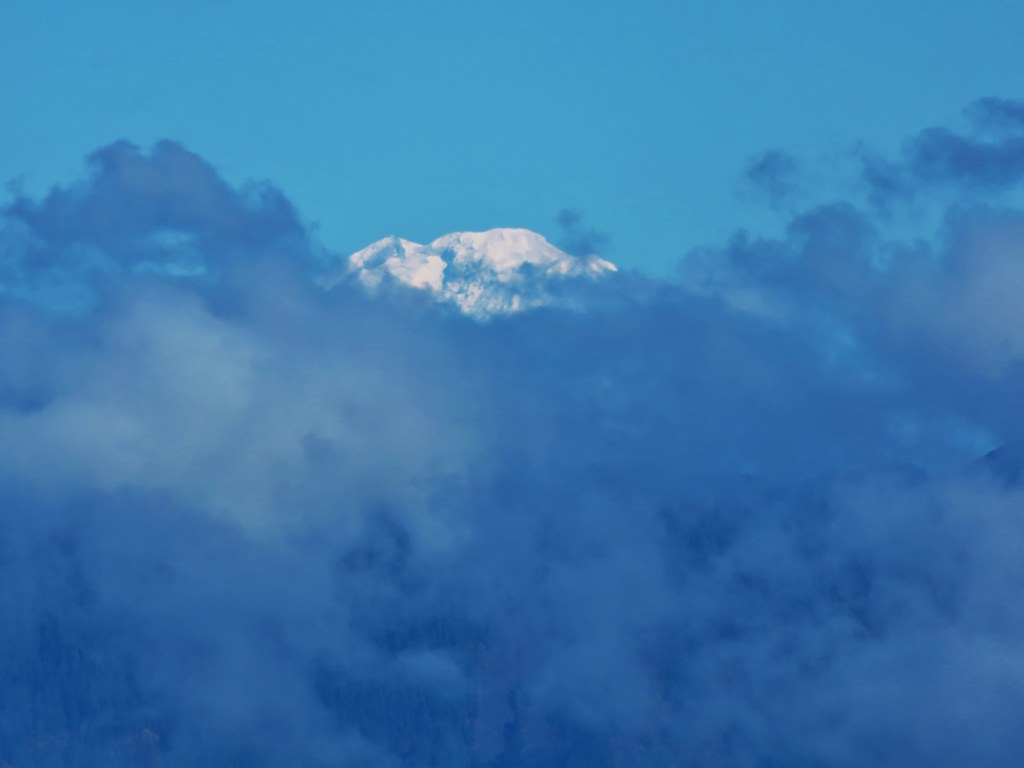
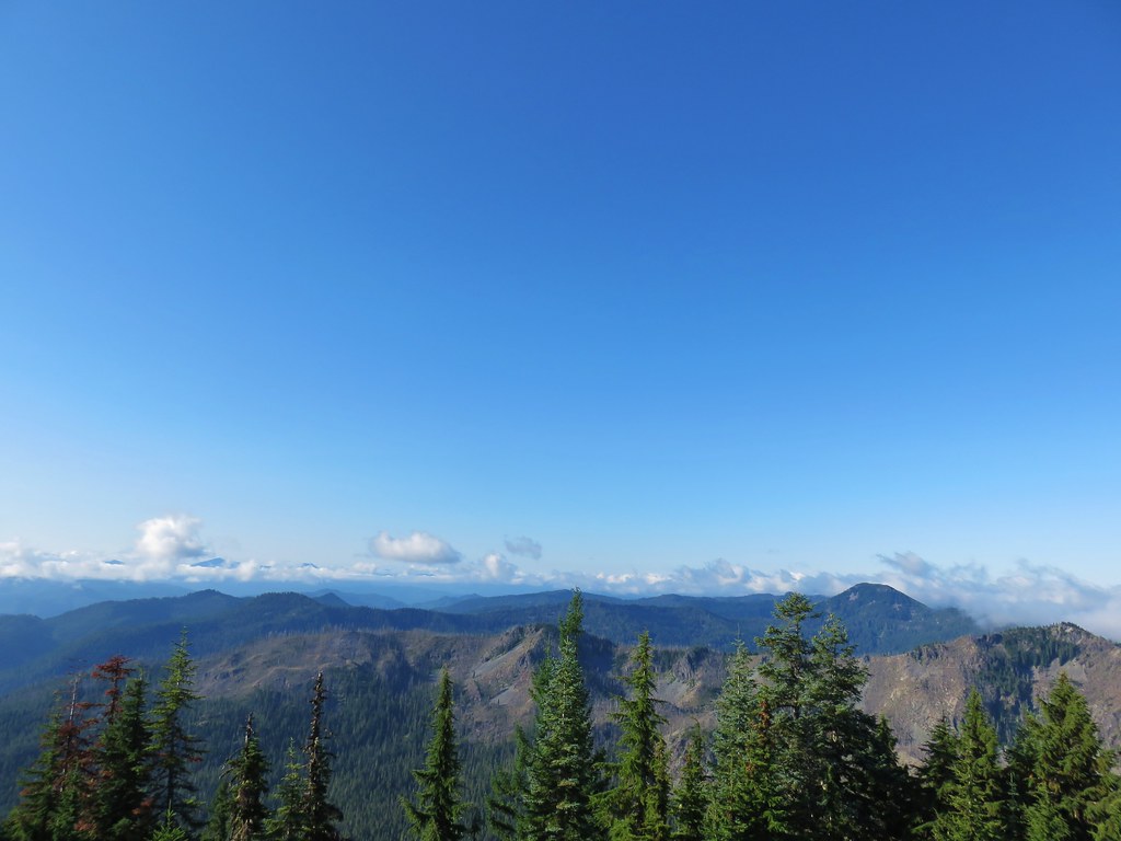
A lizard scurried into the rocks beneath the lookout as we approached. Aside from a bit of morning haze the view was great. The clouds to the north hid the Washington volcanoes from sight but Mt. Hood stood out just fine.
IMG_6787

IMG_6806

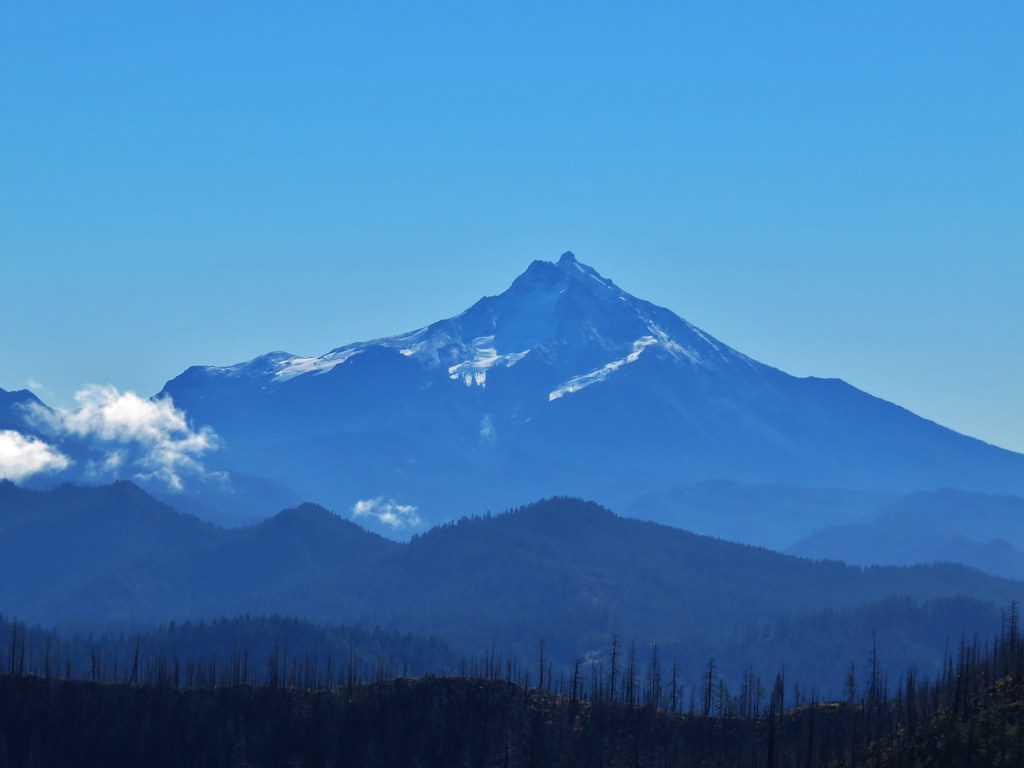
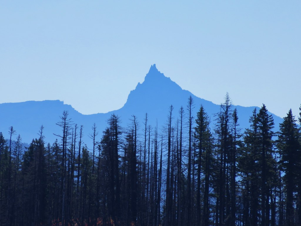
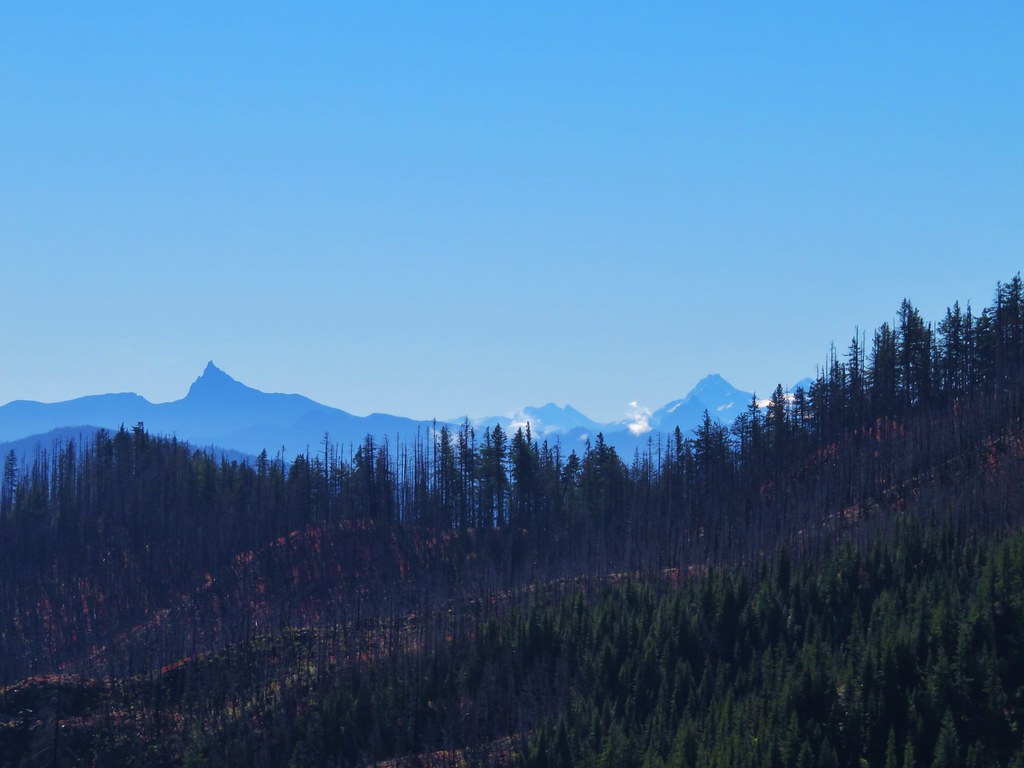
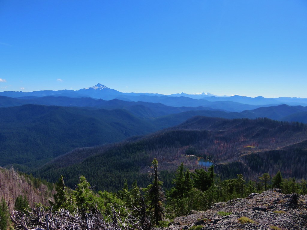
To the south Mt. Jefferson was cloud free and so was Three Fingered Jack for a bit. Mt. Washington and the Three Sisters played peek-a-boo through the clouds though.
IMG_6795

IMG_6796Three Fingered Jack

IMG_6846Mt. Washington and the Three Sisters

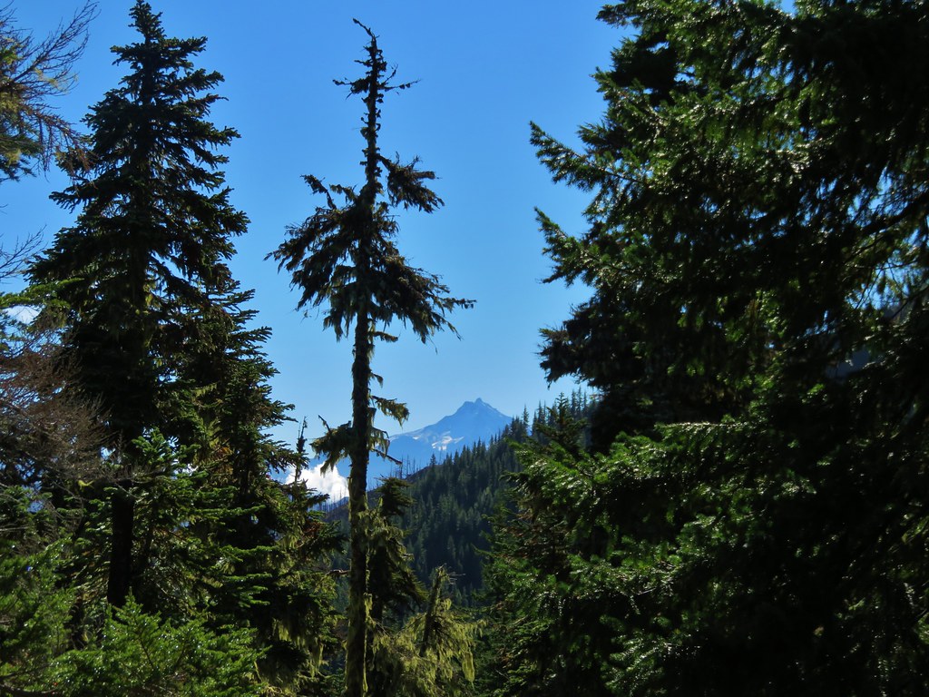
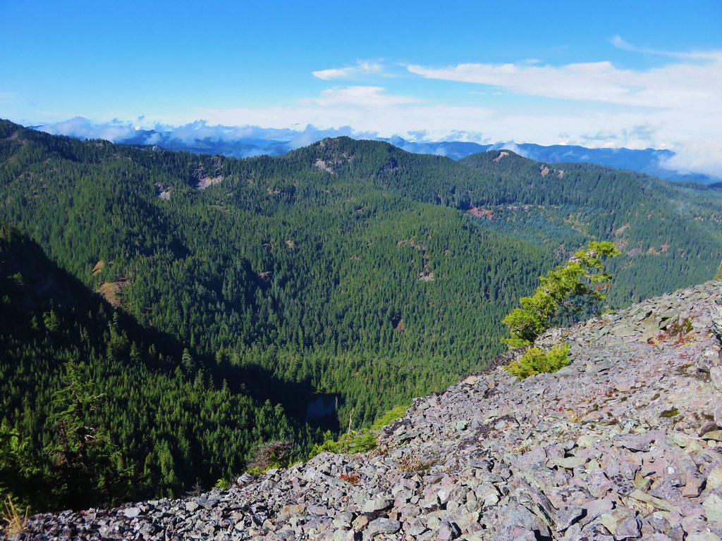
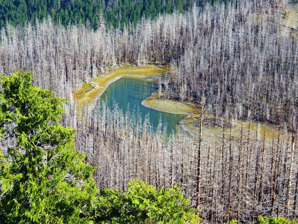
In the basin to the NE Big Slide Lake (post) was visible.
IMG_6801

IMG_6812

To the SW the flat topped Battle Ax Mountain (post) rose up above the surrounding peaks.
IMG_6790

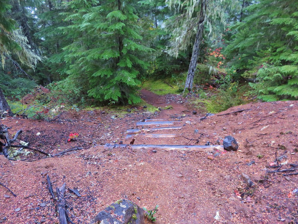
We sat below the lookout for awhile enjoying the cool morning air as we watched the procession of clouds around us. After our break we headed steeply downhill via switchbacks for just over half a mile to the Mother Lode Trail.
IMG_6851

IMG_6855Bull of the Woods Trail ending at the Mother Lode Trail.

We turned right onto the Mother Lode Trail.
IMG_6856

We continued to descend as we followed this trail for approximately 1.25 miles, passing a viewpoint of Mt. Jefferson shortly before arriving at another junction.
IMG_6858

IMG_6864

IMG_6873

We turned right again, this time onto the Pansy Lake Trail.
IMG_6875

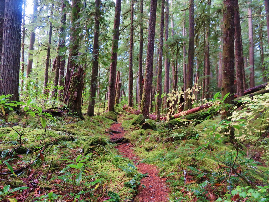
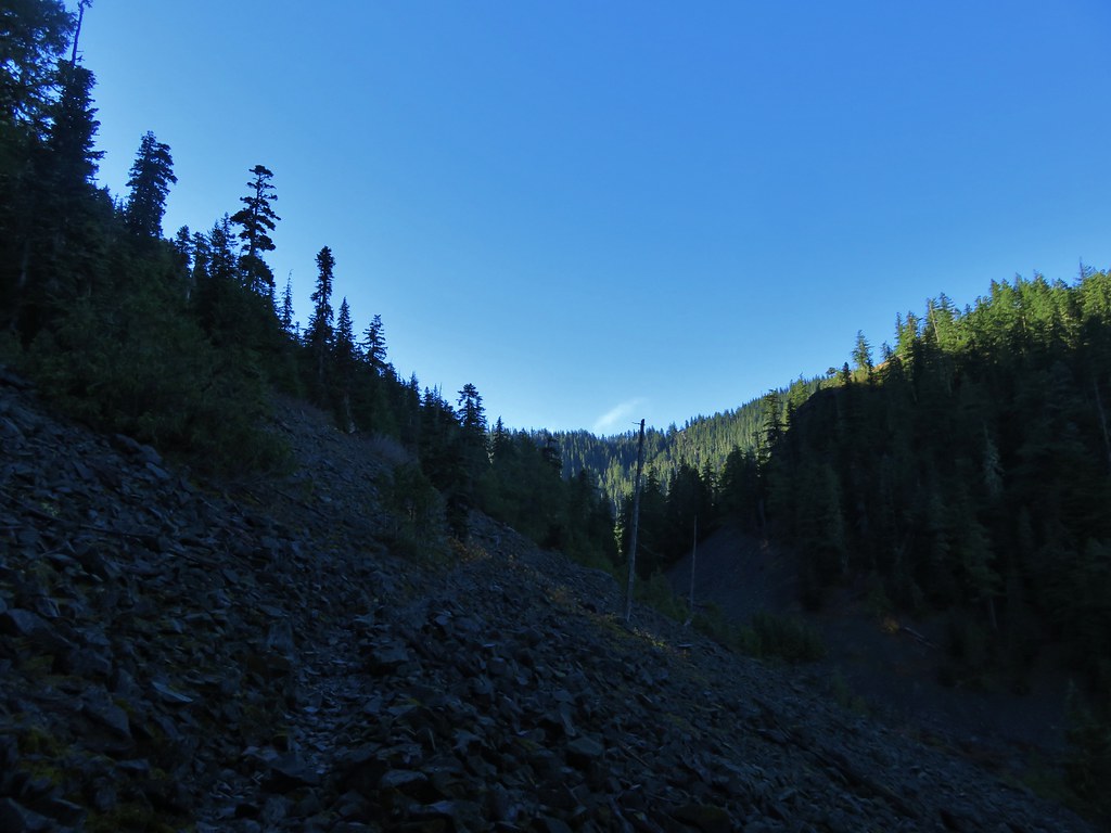
More downhill hiking ensued as we dropped into the basin. The trail was a bit rockier than the others and passed over a couple of talus fields.
IMG_6876

We’re always on the lookout for pikas and have had quite a bit of luck in spotting them this year, enough so that we have started calling it “the year of the pika”. As we came to the second section of talus Heather spotted one of the little “rock rabbits” scurrying along the hillside.
IMG_6879

IMG_6881

After talking to the pika (I don’t know why but we tend to have a lot of one sided conversations with the wildlife) we continued on. Shortly before reaching the lake we found a couple of ripe thimbleberries, they were delicious.
IMG_6883

IMG_6885
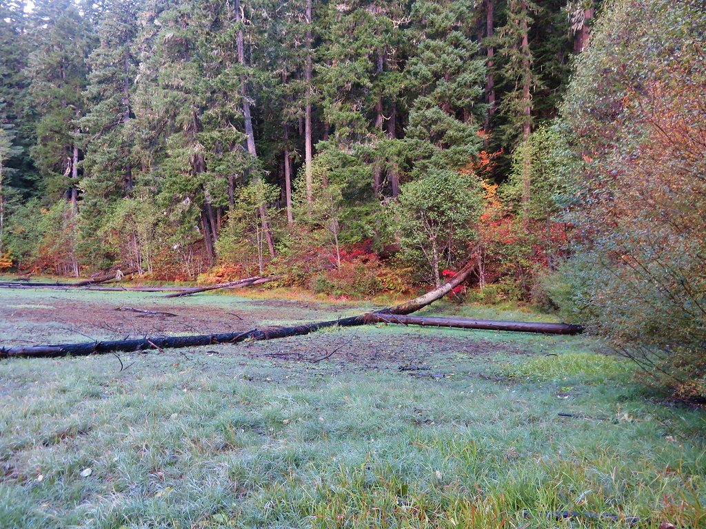
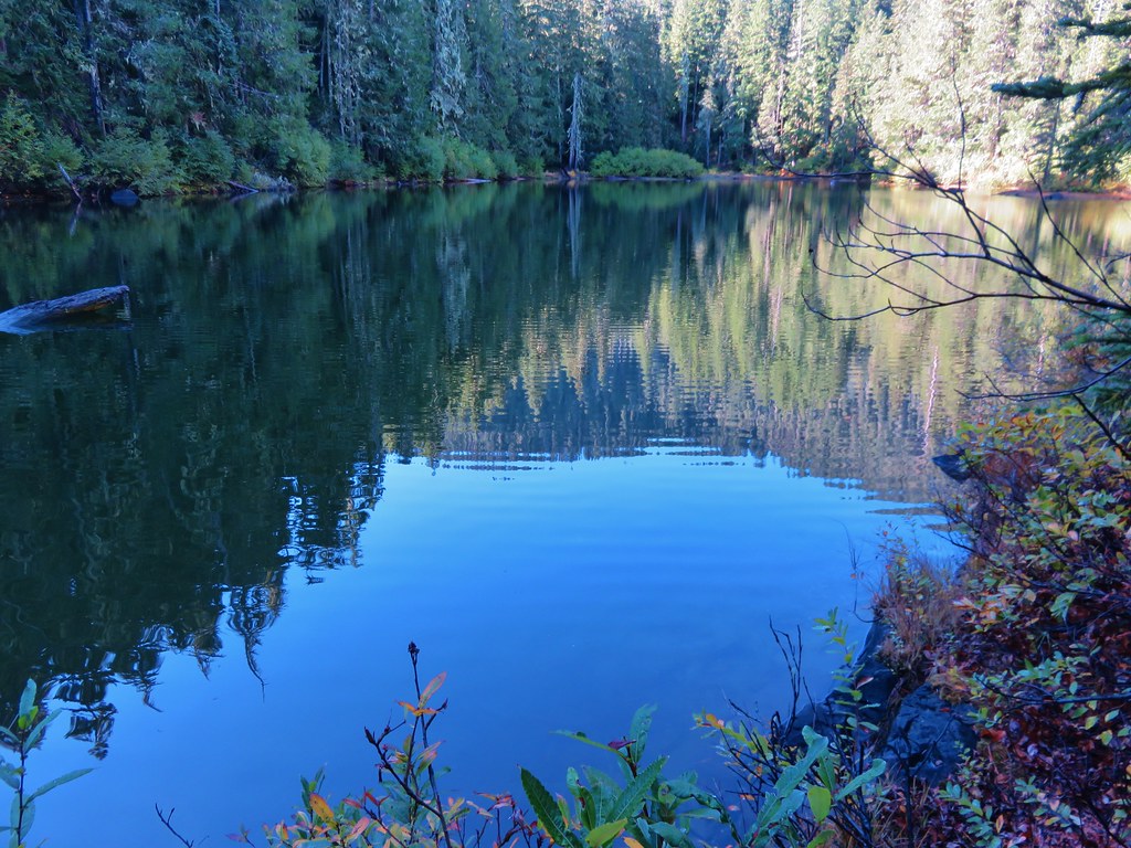
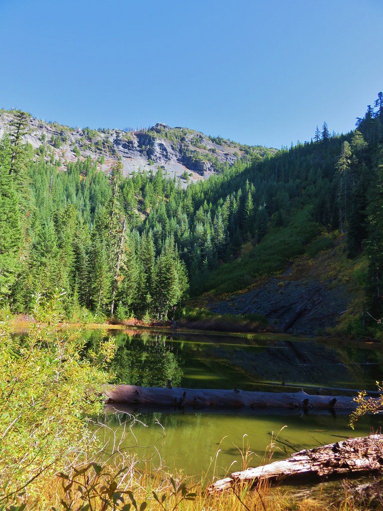
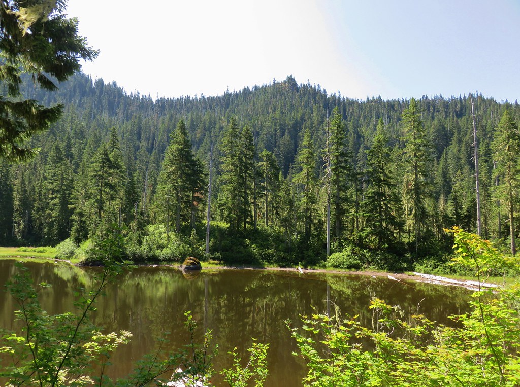
First look at Pansy Lake.

20190816_102219

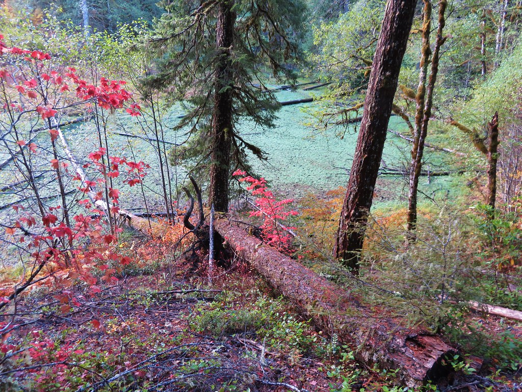
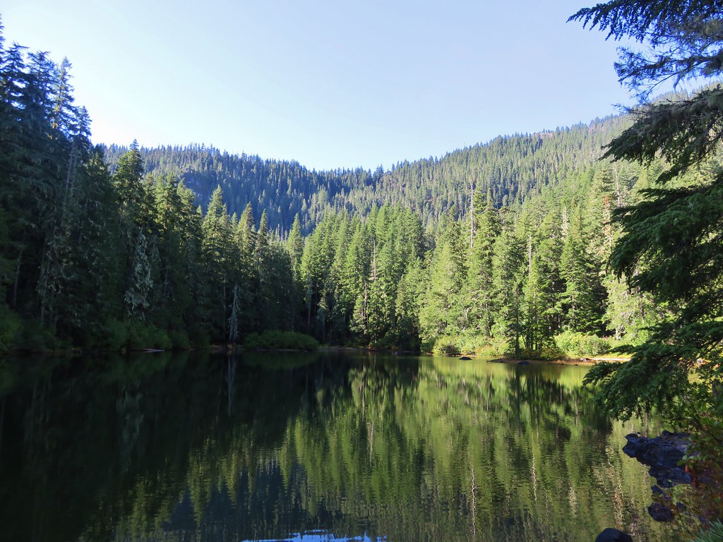
We passed by the lake and reached a junction .8 miles from the Mother Lode Trail. We turned left and quickly arrived at the lake where we were a bit surprised that we were the only people there.
IMG_6888

IMG_6890

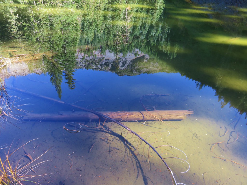
We wandered around the lake passing through numerous empty campsites before finding a little log to sit on by the lake where we could watch the dragonflies and ducks.
IMG_6894

IMG_6898

IMG_6891

IMG_6902

After a short break we returned to the trail junction and turned left continuing on the Pansy Lake Trail for another .2 miles to the Dickey Lake Trail junction.
IMG_6907

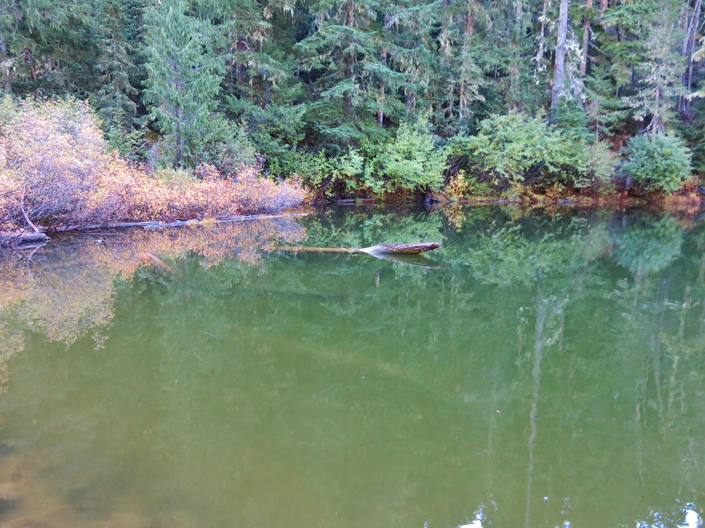
It was time to climb now and we headed up the Dickey Lake Trail which climbed relatively steeply at times. After .6 miles we came to a spur trail on the right which led down to Dickey Lake.
IMG_6910

IMG_6912

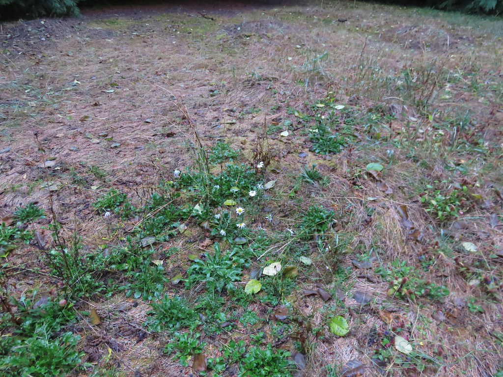
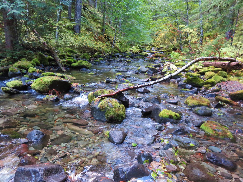
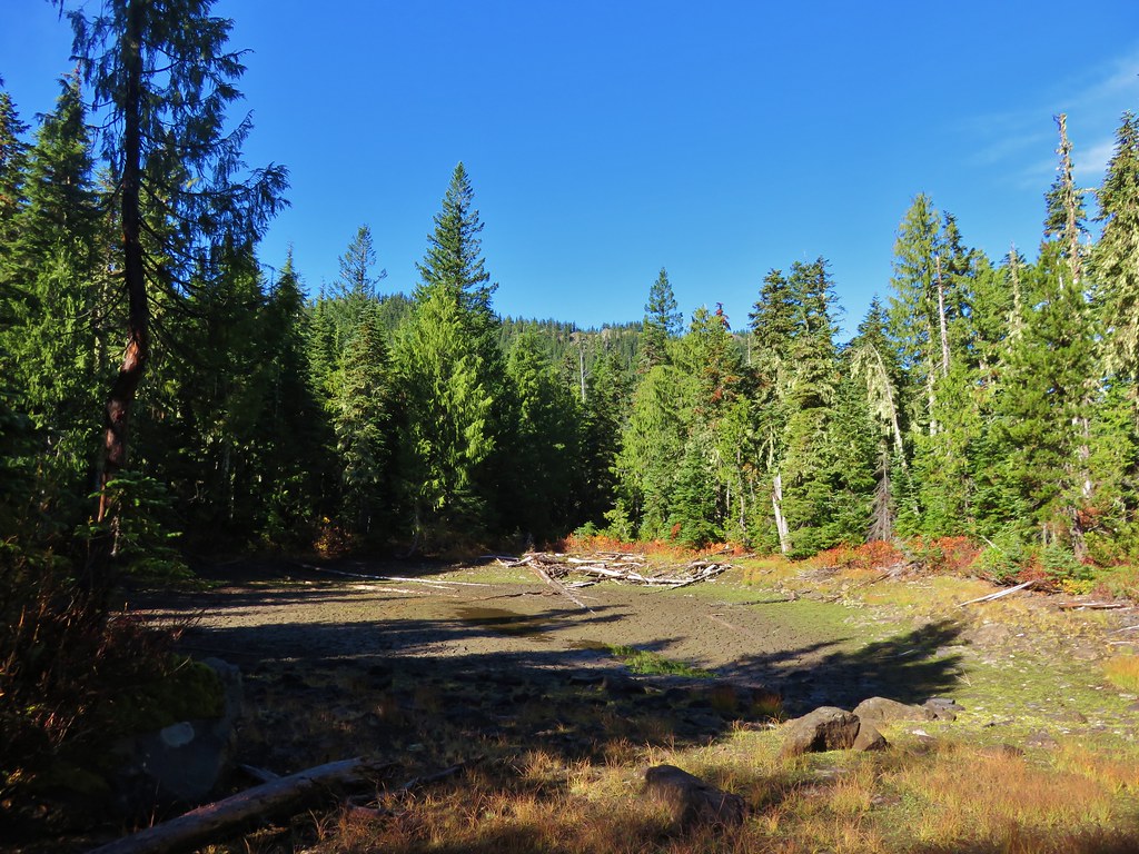
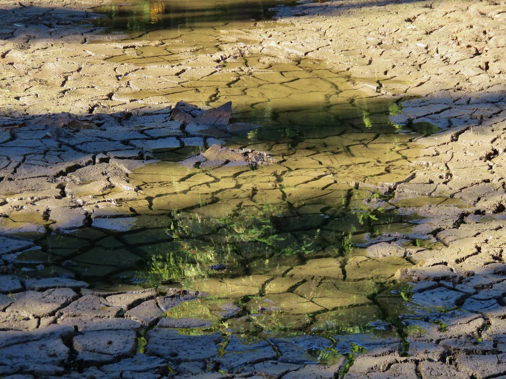
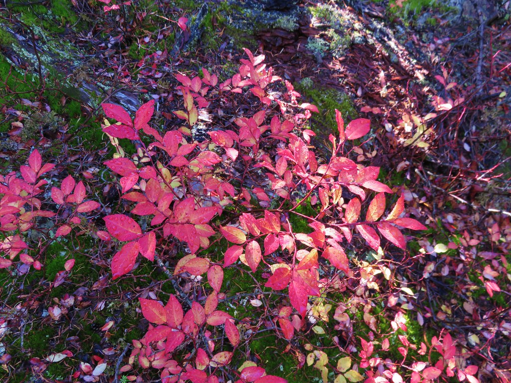
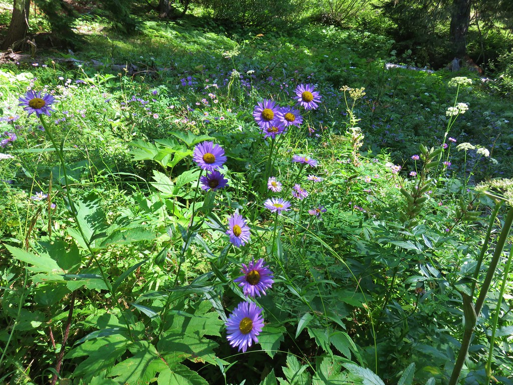
The lake was quite a bit smaller than Pansy Lake and a lot brushier. After getting a look we returned to the Dickey Lake Trail and continued the climb back up to the Bull of the Woods Trail. A bit beyond the lake the trail passed through a little meadow with some remaining wildflowers and a few more thimbleberries.
IMG_6913

IMG_6918

IMG_6921

IMG_6924

We gained approximately 800′ over the next .8 miles before reaching the junction. There was a few more downed trees along this trail than we had encountered on any of the others but none of them were too troublesome.
IMG_6925

We turned left onto the Bull of the Woods Trail and followed back to the car getting one last look at Mt. Hood along the way.
IMG_6935

With the extra exploring around the lakes we wound up doing 10.6 miles (for the third time in the week). We both thought that the elevation gain doing the loop from the Pansy Lake Trailhead would have been quite a bit worse so the extra miles were worth it in our minds, plus it gave us that much more time to eat berries. Happy Trails!

Flickr: Pansy Lake and Bull of the Woods Lookout

Categories
Bull of the Woods/Opal Creek Hiking Old Cascades Oregon Trip report

Dickey Creek Trail

**Note a portion of this hike burned in the 2021 Bull Complex.**

Once again the weather wasn’t cooperating with our overnight plans so we turned to plan B for our latest hike. Plan B wound up being the Dickey Creek Trail in the Bull of the Woods Wilderness on what turned out to be a great hike on a beautiful day. We began our hike at the Dickey Creek Trailhead located in forest service road 140 near Ripplebrook, OR.
IMG_1183//embedr.flickr.com/assets/client-code.js

The Dickey Creek Trail followed a decommissioned road for about half a mile to the former trailhead parking area.
IMG_1434//embedr.flickr.com/assets/client-code.js

IMG_1188//embedr.flickr.com/assets/client-code.js

The trail continued to follow the old roadbed for .3 miles and then suddenly heads downhill.
IMG_1192//embedr.flickr.com/assets/client-code.js

IMG_1195//embedr.flickr.com/assets/client-code.js

IMG_1196//embedr.flickr.com/assets/client-code.js

The descent was steep for the next half mile and included several sections of steps. It was one of the most fun sections of trail we’ve been on as it twisted and turned on it’s way down toward the creek. When the trail leveled out we were within earshot of the creek but the trail remained in the forest with the creek out of sight. The old growth forest in the valley was beautiful. Green moss carpeted the ground while large trees towered above. Rough skinned newts seemed to be everywhere and we had to step carefully to make sure we didn’t harm any.
IMG_1201//embedr.flickr.com/assets/client-code.js

IMG_1203//embedr.flickr.com/assets/client-code.js

IMG_1217//embedr.flickr.com/assets/client-code.js

IMG_1215//embedr.flickr.com/assets/client-code.js

The old growth forest briefly opened up near a dry pond. The fall colors were on display around the pond and made a nice contrast to the green ground left over from where the pond water had been.
IMG_1206//embedr.flickr.com/assets/client-code.js

IMG_1209//embedr.flickr.com/assets/client-code.js

IMG_1210//embedr.flickr.com/assets/client-code.js

IMG_1212//embedr.flickr.com/assets/client-code.js

We arrived at the bridgeless crossing of Dickey Creek after almost 3.5 miles.
IMG_1218//embedr.flickr.com/assets/client-code.js

On the far side of the creek we spotted some interesting fungi.
IMG_1220//embedr.flickr.com/assets/client-code.js

IMG_1223//embedr.flickr.com/assets/client-code.js

We were heading for Big Slide Lake which was a little over 2.5 miles from Dickey Creek. From there we would decide whether we would continue on to Big Slide Mountain or turnaround depending on how clear the skies were. After a few switchbacks the trail climbed gradually up the valley toward the lake. Views opened up across the valley to North and South Dickey Peak. Ahead were the cliffs of Big Slide Mountain and the lookout tower on Bull of the Woods, the wilderness’s namesake.
IMG_1224//embedr.flickr.com/assets/client-code.js

IMG_1228//embedr.flickr.com/assets/client-code.js

IMG_1231//embedr.flickr.com/assets/client-code.js

IMG_1237//embedr.flickr.com/assets/client-code.js

After crossing a large rock field the trail split. We headed downhill to the right to visit Big Slide Lake where we encountered the only other people we’d see the entire day.
IMG_1238//embedr.flickr.com/assets/client-code.js

IMG_1241//embedr.flickr.com/assets/client-code.js

IMG_1242//embedr.flickr.com/assets/client-code.js

It was approximately 6 miles to Big Slide Lake from the trailhead so turning around here would have made for a decent enough hike, but the weather was great and there were only a few clouds in the sky so we decided to head up to Big Slide Mountain to see how the view was. We climbed back up to the Dickey Creek Trail from the lake and continued uphill toward a saddle on the ridge between Bull of the Woods and Big Slide Mountain. After about a half mile of good climbing we arrived at the saddle and a trail junction.
IMG_1243//embedr.flickr.com/assets/client-code.js

We turned left past a nearly dry pond.
IMG_1244//embedr.flickr.com/assets/client-code.js

IMG_1245//embedr.flickr.com/assets/client-code.js

IMG_1246//embedr.flickr.com/assets/client-code.js

On the far side of the pond was a second trail junction. We stayed to the left on trail 555 and began to gradually climb Big Slide Mountain. Views opened up almost immediately on this section of trail. Mount Jefferson was the first of the Cascade peaks to come into view.
IMG_1248//embedr.flickr.com/assets/client-code.js

IMG_1255//embedr.flickr.com/assets/client-code.js

Followed by Three Fingered Jack.
IMG_1260//embedr.flickr.com/assets/client-code.js

Then came Broken Top, Mt. Washington, and the North and Middle Sisters.
IMG_1266//embedr.flickr.com/assets/client-code.js

Finally the South Sister made an appearance.
IMG_1271//embedr.flickr.com/assets/client-code.js

IMG_1272//embedr.flickr.com/assets/client-code.js

After almost a mile and a half of climbing the trail crested at a saddle between the summit of Big Slide Mountain and Knob Peak. The trail then headed over the saddle and downhill to its end at Lake Lenore a half mile away. In order to get to the summit of Big Slide Mountain we needed to do some cross country climbing. From the saddle we headed uphill along the ridge toward the summit making our way up as best we could. We managed to find sections of faint trail and pick our way up the rocky slope to the summit. The views from the summit were great. Big Slide Lake lay below us to the West.
IMG_1288//embedr.flickr.com/assets/client-code.js

To the North was Lake Lenore, Schriner Peak, Mt. Hood, and the shy Mt. Adams.
IMG_1290//embedr.flickr.com/assets/client-code.js

IMG_1308//embedr.flickr.com/assets/client-code.js

IMG_1341//embedr.flickr.com/assets/client-code.js

IMG_1294//embedr.flickr.com/assets/client-code.js

To the southeast cascade peaks dotted the horizon while Welcome Lakes lay below in the wilderness.
IMG_1356//embedr.flickr.com/assets/client-code.js

The peaks of the Bull of the Woods Wilderness rose to the south including Battle Ax and Bull of the Woods.
IMG_1314//embedr.flickr.com/assets/client-code.js

Table Rock rose above the Table Rock Wilderness to the southwest.
IMG_1330//embedr.flickr.com/assets/client-code.js

We took a long break on the summit watching the clouds in the sky and soaking in the sun before heading back downhill. On the way back we had one final stop to make. We wanted to check out an unnamed lake that lay off-trail below Big Slide Mountain. A short steep climb through some thick rhododendron bushes brought us to the edge of the small lake.
IMG_1381//embedr.flickr.com/assets/client-code.js

The water was crystal clear with some excellent reflections of Big Slide Mountain.
IMG_1389//embedr.flickr.com/assets/client-code.js

After fighting our way back through the rhododendrons we regained the trail. On our way back we stopped to check out a few interesting mushrooms, one complete with a newt.
IMG_1372//embedr.flickr.com/assets/client-code.js

IMG_1374//embedr.flickr.com/assets/client-code.js

IMG_1414//embedr.flickr.com/assets/client-code.js

When we arrived back at the dry pond the sunlight was lighting up the deciduous trees.
IMG_1418//embedr.flickr.com/assets/client-code.js

IMG_1419//embedr.flickr.com/assets/client-code.js

IMG_1420//embedr.flickr.com/assets/client-code.js

IMG_1422//embedr.flickr.com/assets/client-code.js

As we neared the end of our hike the only disappointment was having not seen a wilderness sign that morning. I try and get a picture of a wilderness sign for every wilderness we visit and I had been unsuccessful on our first two visits to the Bull of the Woods Wilderness. After making the steep climb away from the creek and back up to the old roadbed we began watching for signs that we may have missed on our way by earlier. Just before reaching the former trailhead we spotted the sign up on a tree.
IMG_1429//embedr.flickr.com/assets/client-code.js

IMG_1432//embedr.flickr.com/assets/client-code.js

It was a great end to a great hike. Happy Trails!

Flickr: https://www.flickr.com/photos/9319235@N02/albums/72157659338785890