Our 2024 hiking year has gotten off to a bit of a rocky start. We try and get a hike in on New Years Day, but I was dealing with COVID for the first time. Then an ice storm arrived just as I was feeling up to hiking. With the final weekend of January being our last chance to get a January hike in we resolved to head out regardless of the weather if it was at all possible.
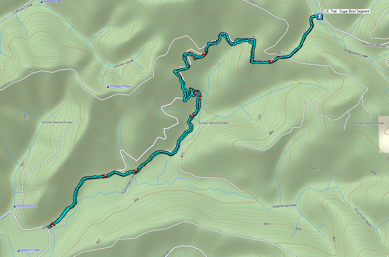
Heading into the month our plan had been to visit Forest Park in Portland to hike a section of the Wildwood Trail that we haven’t before, but the ice storm hit Portland hard resulting in lots of downed trees so we were in need of a Plan B. While no ice or snow was forecast, an atmospheric river was heading in which carried the possibility of bringing several inches of rain between Friday and Sunday so we were looking for an appropriate hike. Fortunately, we recently became members of the Hike Oregon website and one of the members only hikes there is a section of the Corvallis to Sea Trail. The hike was also listed as a good rainy-day hike, so it seemed like the prefect Plan B. The Corvallis to Sea Trail, or C2C Trail, is a 60-mile route connecting the city of Corvallis, OR to the Oregon Coast at Ona Beach State Park (post). Much of the trail is on roads which may be abandoned or gated and others open to vehicle traffic. For more information on the entire trail please visit the C2C Trail’s official website.
Our intent was to start our hike by parking at “The 4-way”, a 4-way junction of logging roads atop a hill on Shot Pouch Road. Google Maps labels this as the “C2C Trail Sugar-Bowl Kiosk” located approximately four and a half miles south of Burnt Woods and U.S. Highway 20. When we arrived at the 4-way though we discovered that there had been some very recent logging activity which had torn up the shoulders where cars would park leaving muddy ruts all over. In addition, in the final tenth of a mile of Shot Pouch Road mud was piled high enough in the center that it scrapped the bottom of our Subaru as we passed over. Not being comfortable parking near the 4-way we retreated four tenths of a mile back down the hill to the intersection of Shot Pouch Road and Shot Pouch Trail Road where there was enough of a shoulder for us to pull off and park.

The C2C follows Shot Pouch Trail Road for approximately 4-miles then turns up Shot Pouch Road to the 4-way so we were still starting on the actual trail.

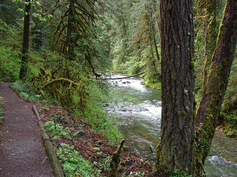
From our parking spot we crossed Shot Pouch Creek on Shot Pouch Road and hiked back up to the 4-way.
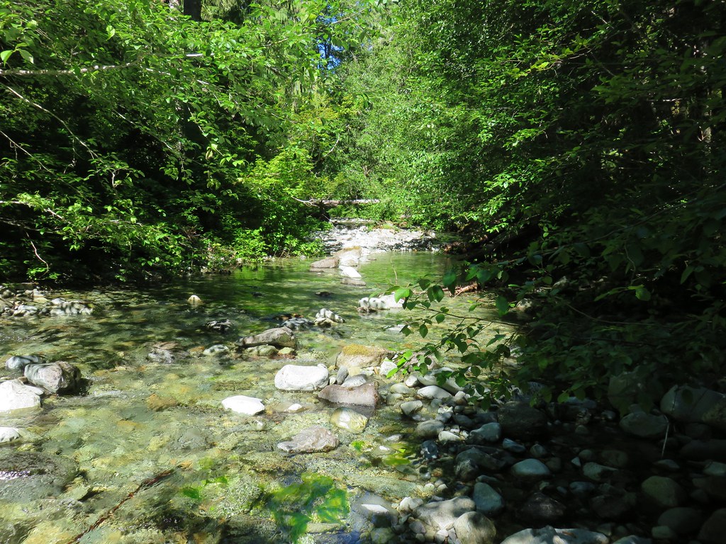
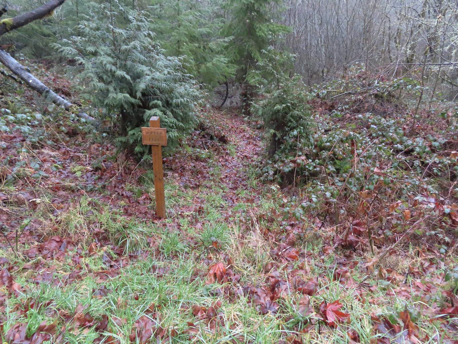 Just before the bridge over Shot Pouch Creek is a spur trail for water which is reportedly scarce along the entire 60-mile route.
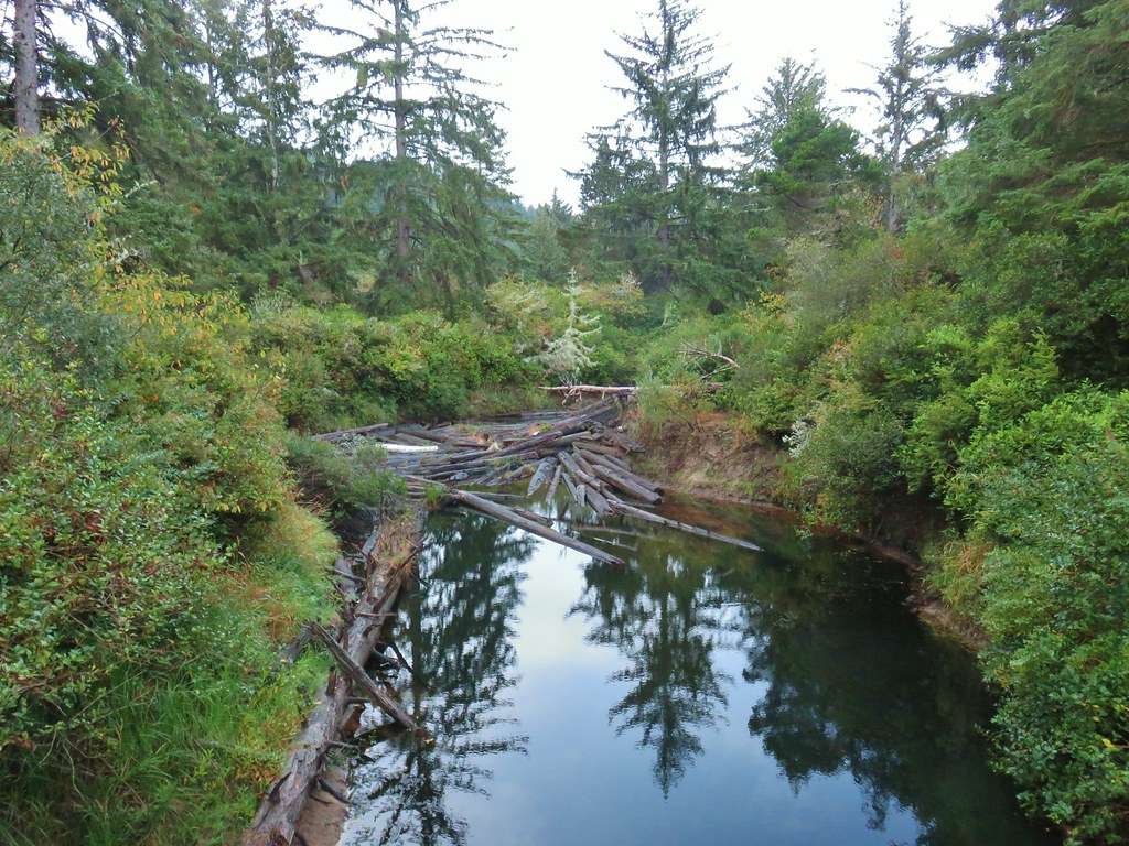
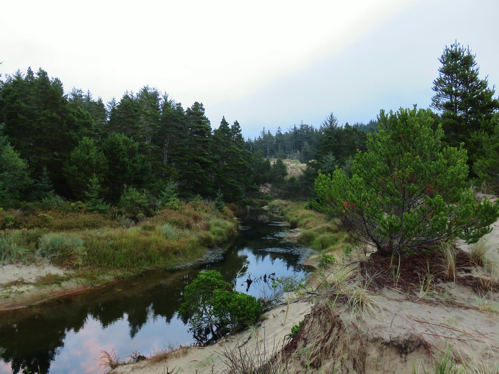
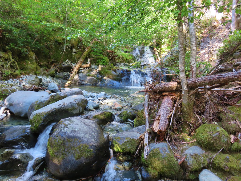
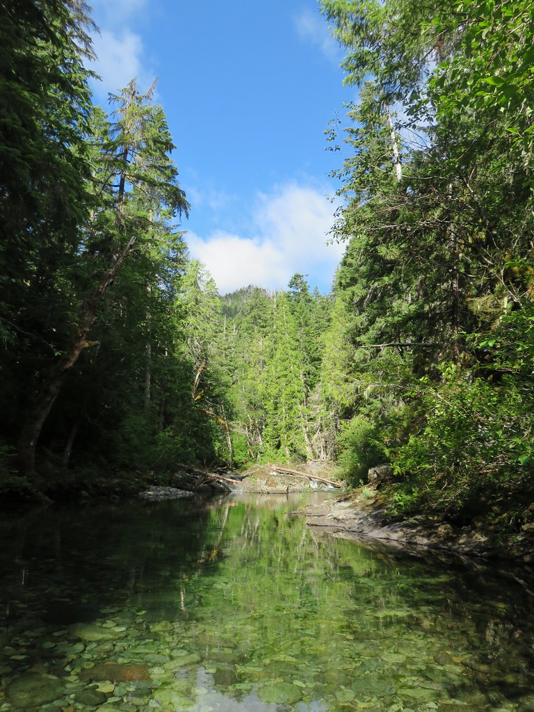
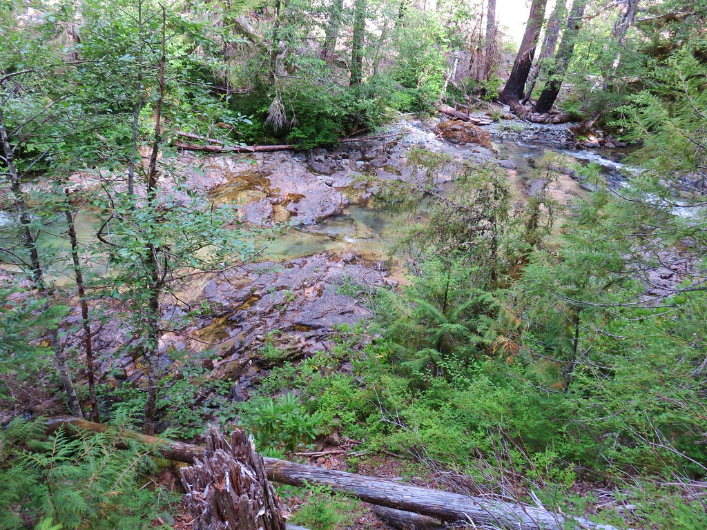
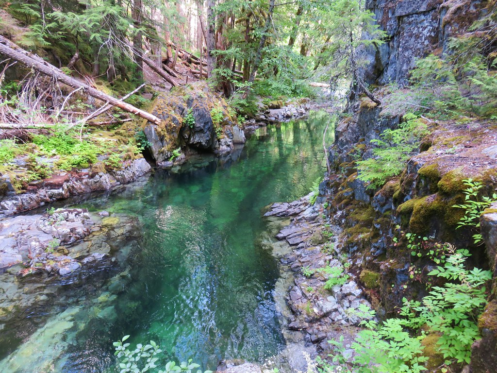
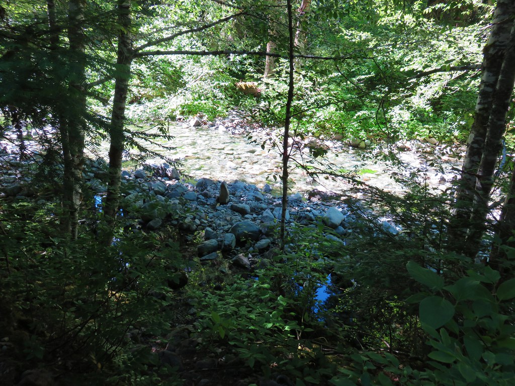
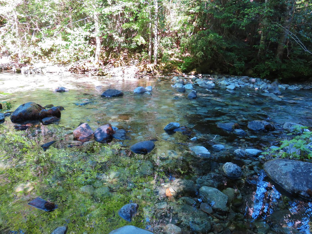
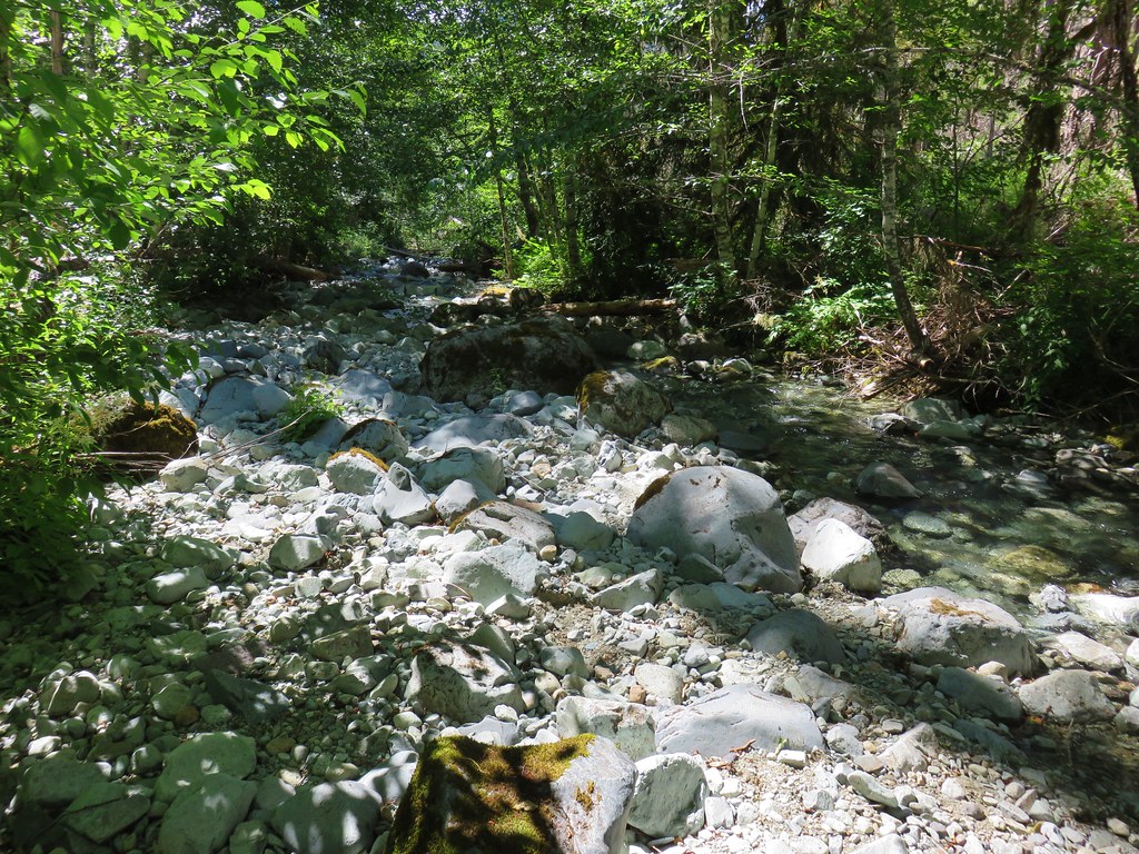
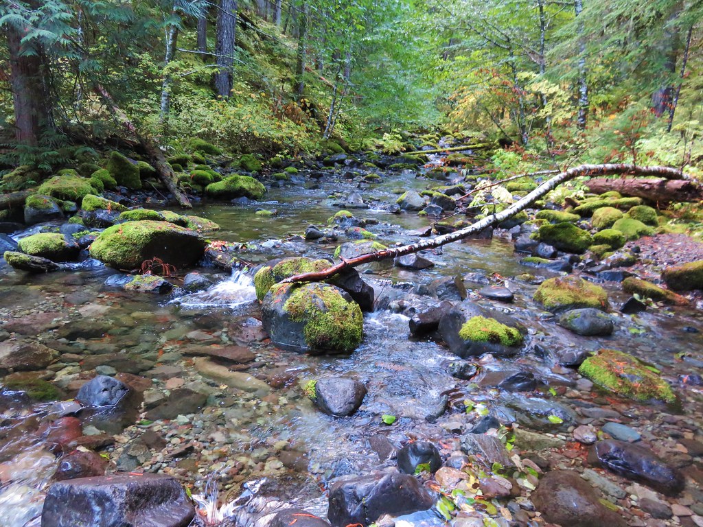
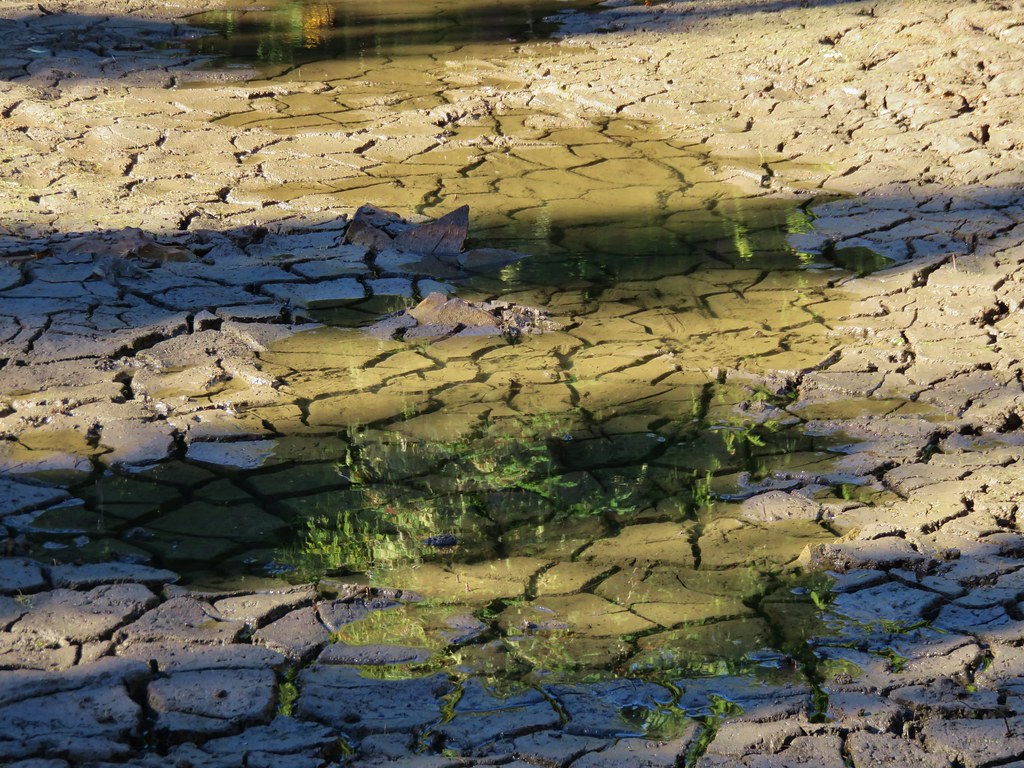
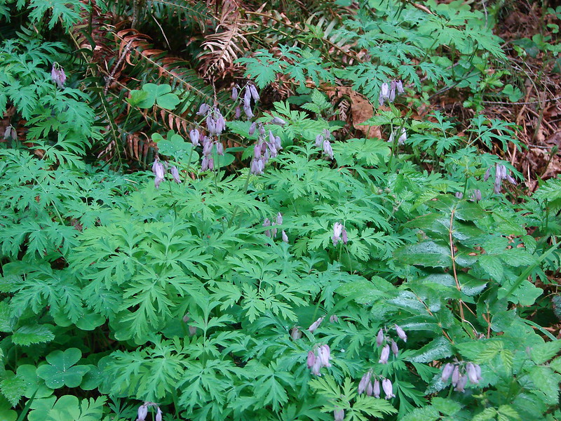
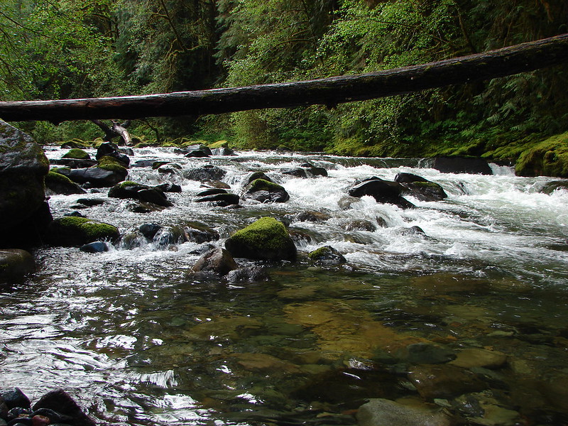
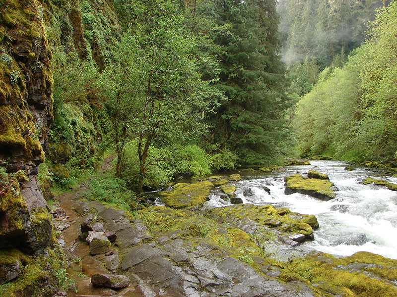
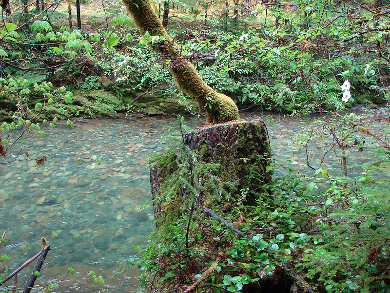
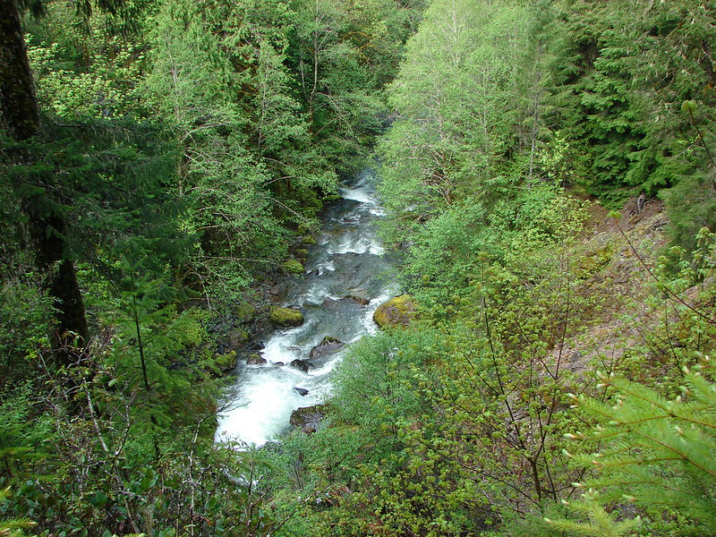
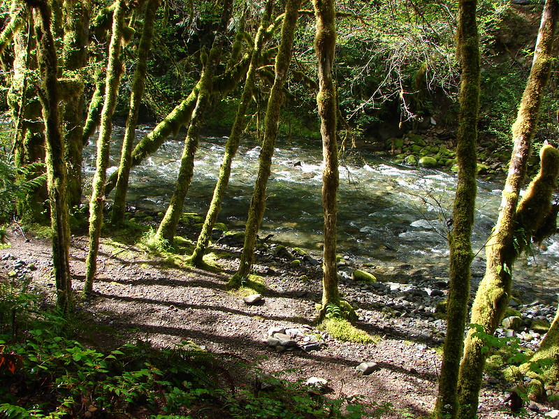
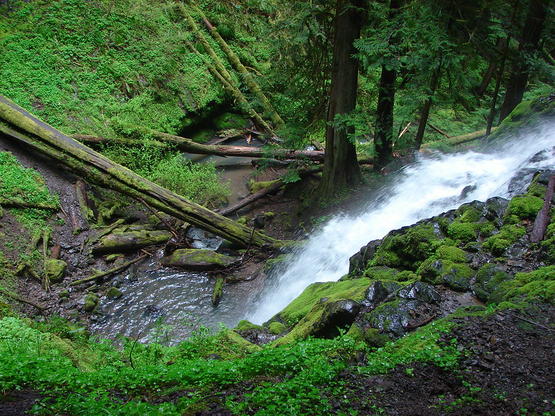
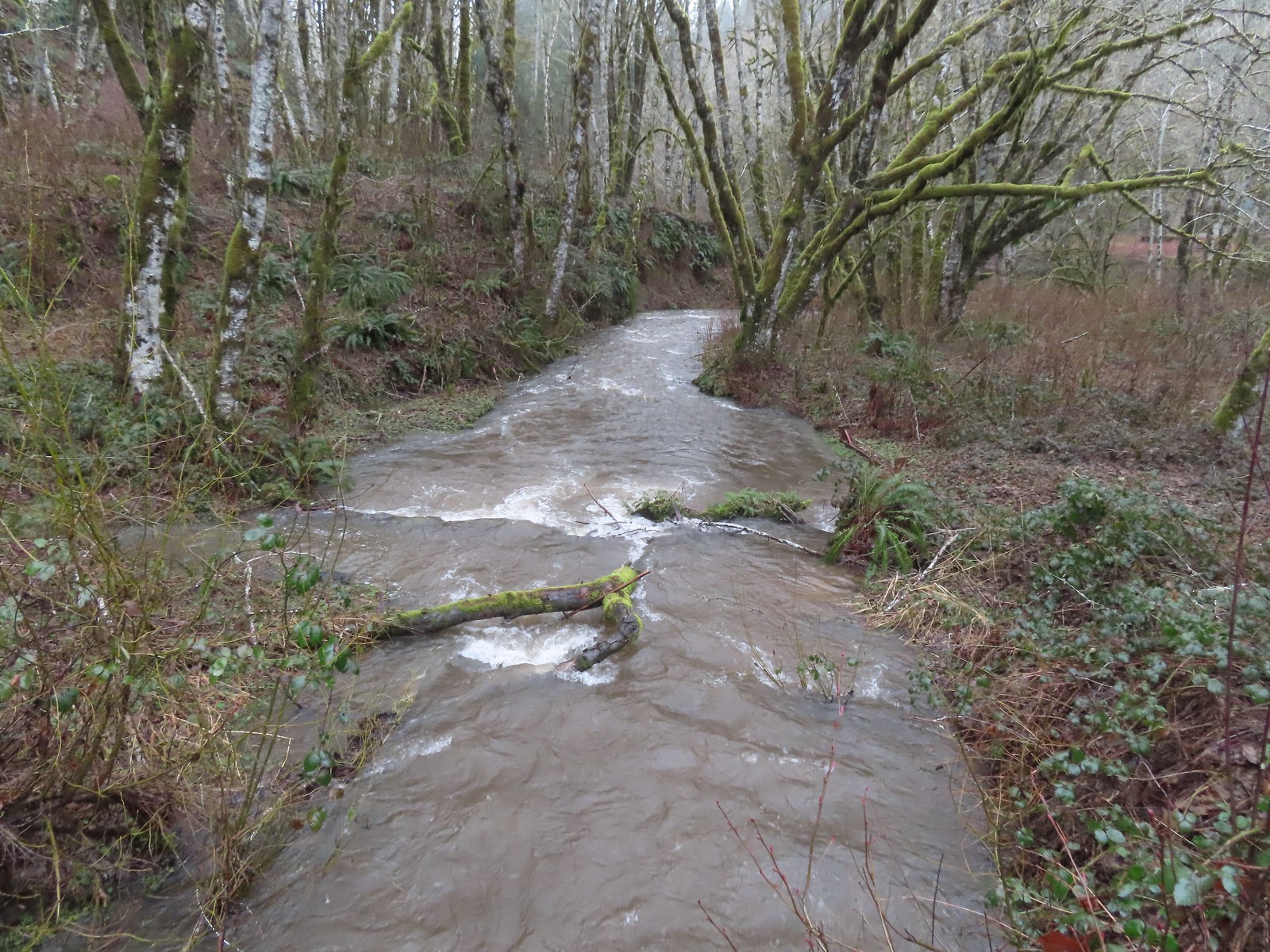 A swollen Shot Pouch Creek.
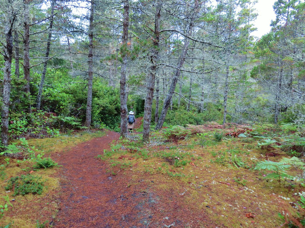
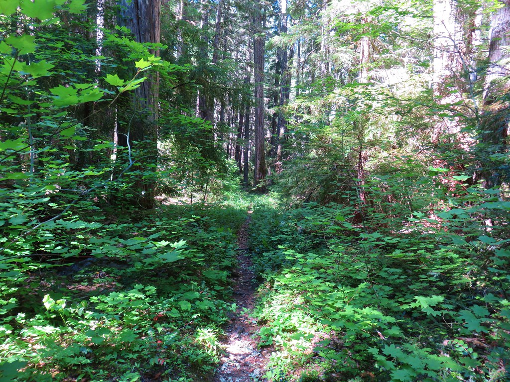
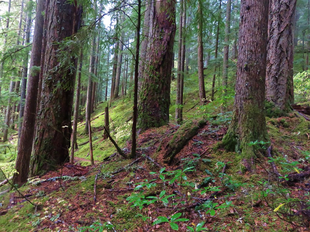
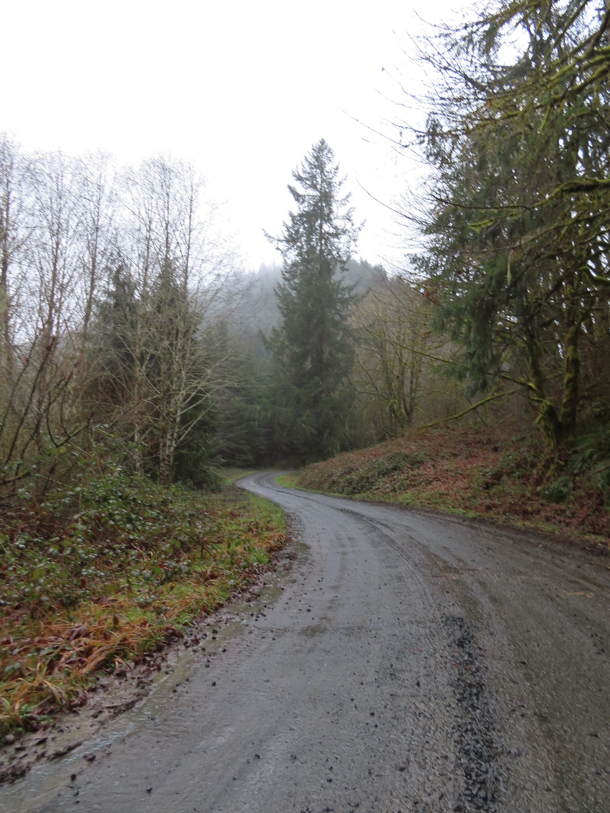 Following the trail/road up to the 4-way.
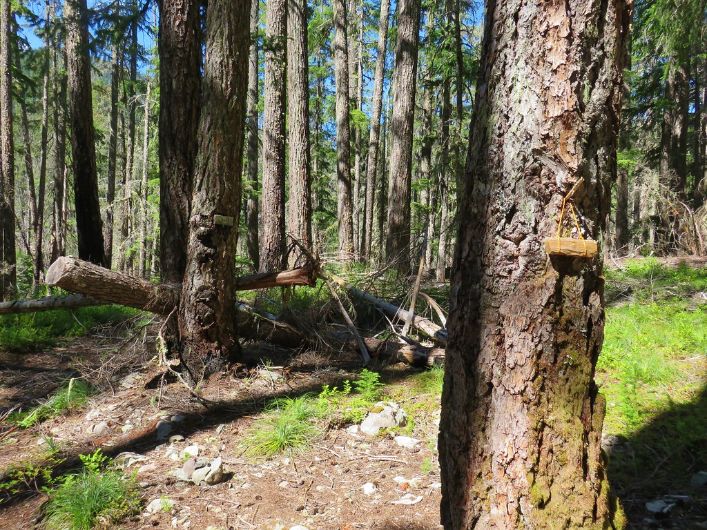
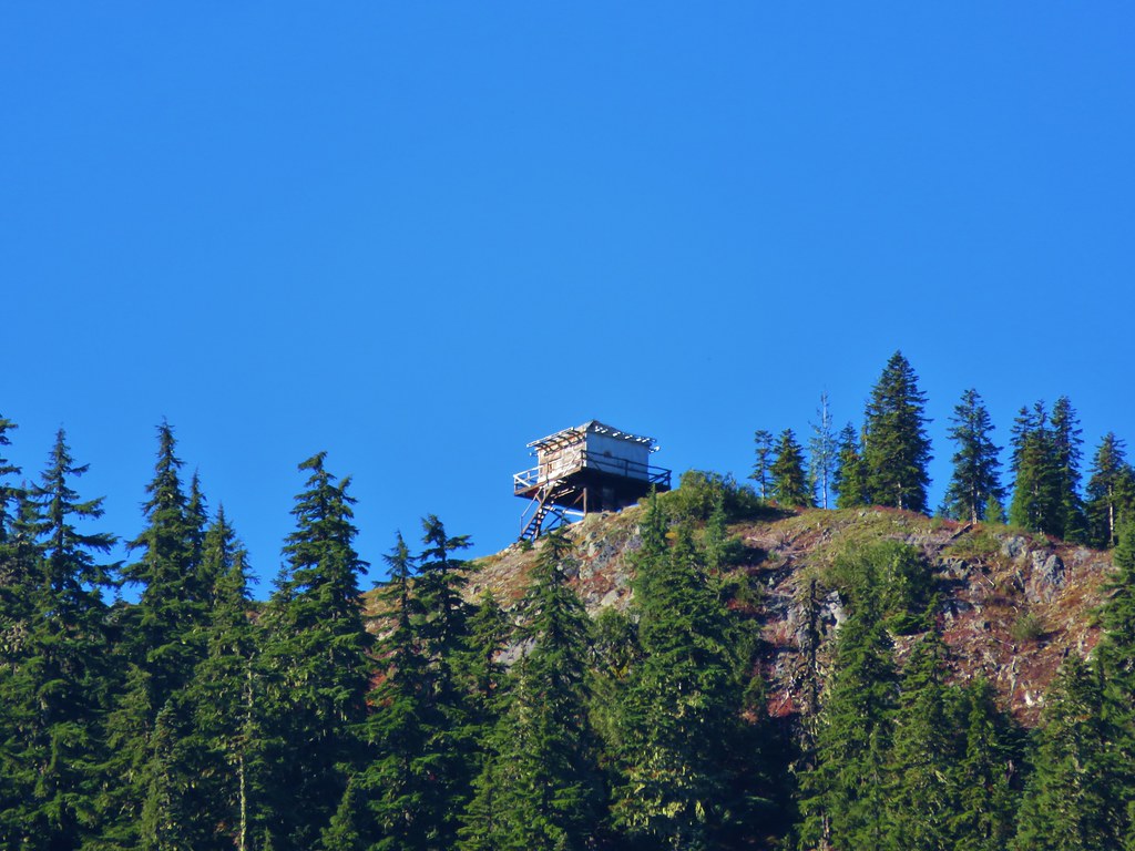
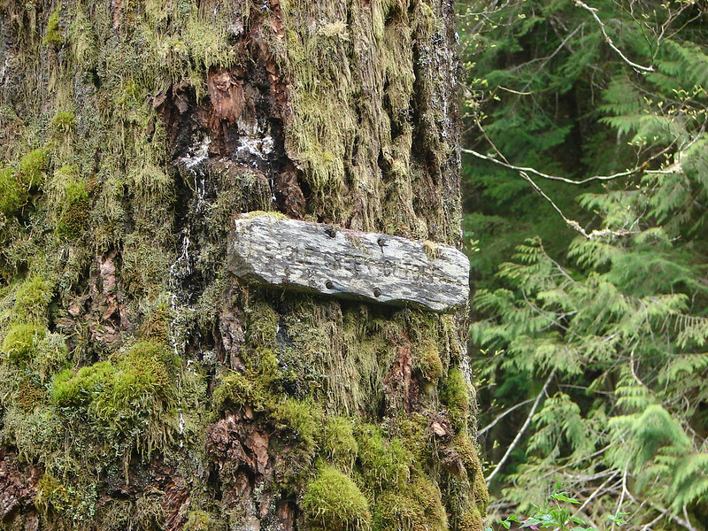
 This was one of a handful of similar structures in the area. So far we haven’t found any information on their history.
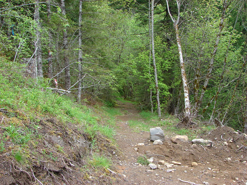
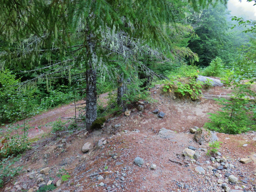
 Nearing “The 4-way”. Just ahead is where the Subaru bottomed out slightly.
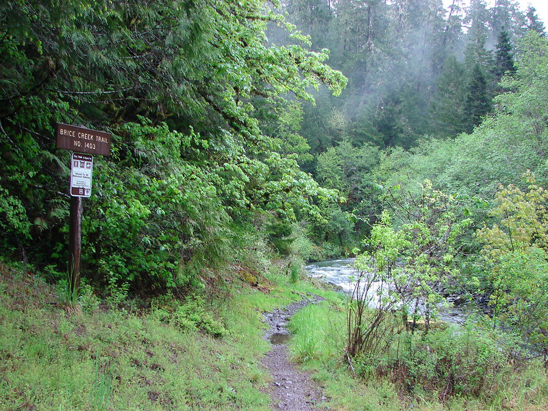
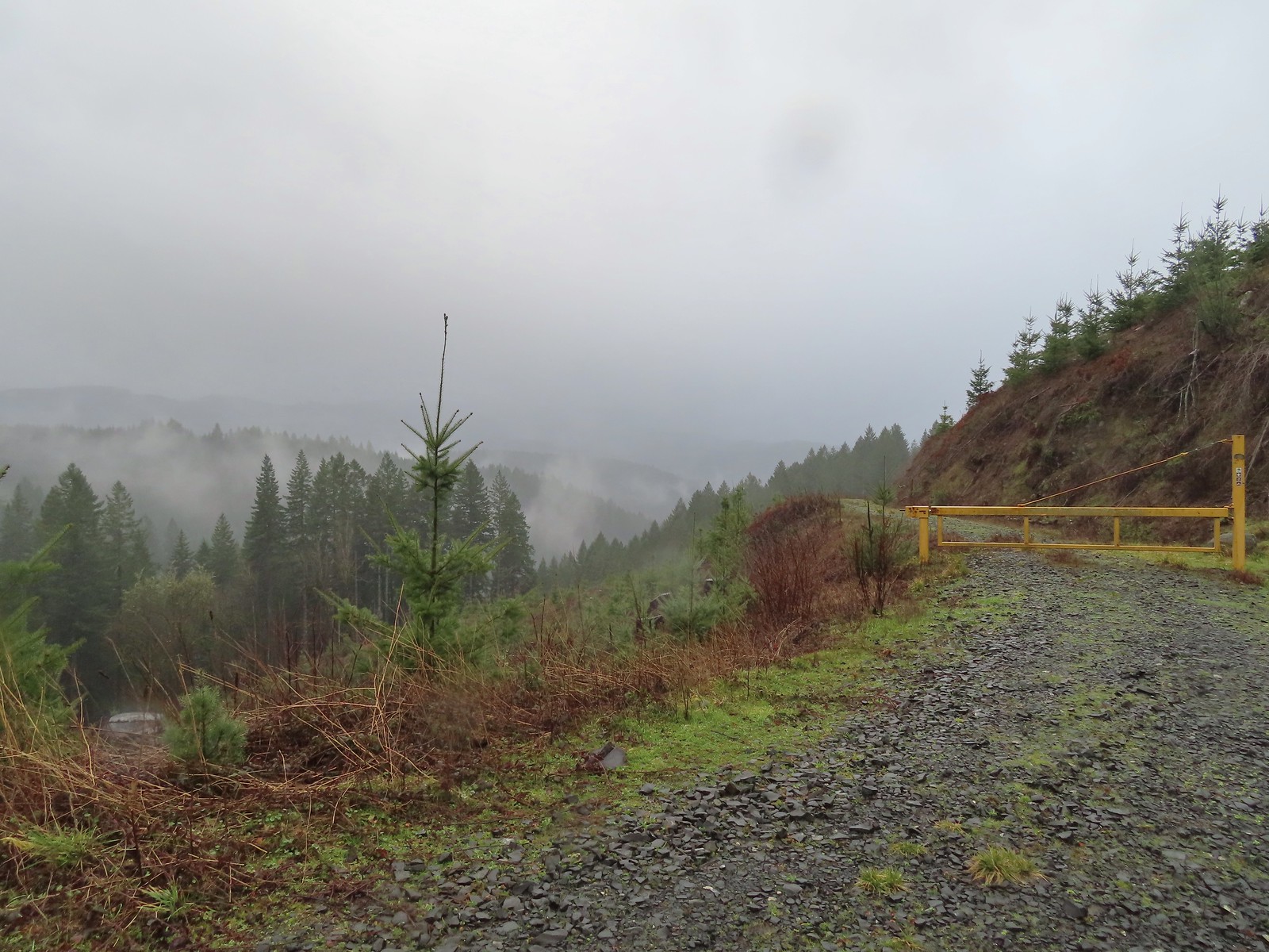
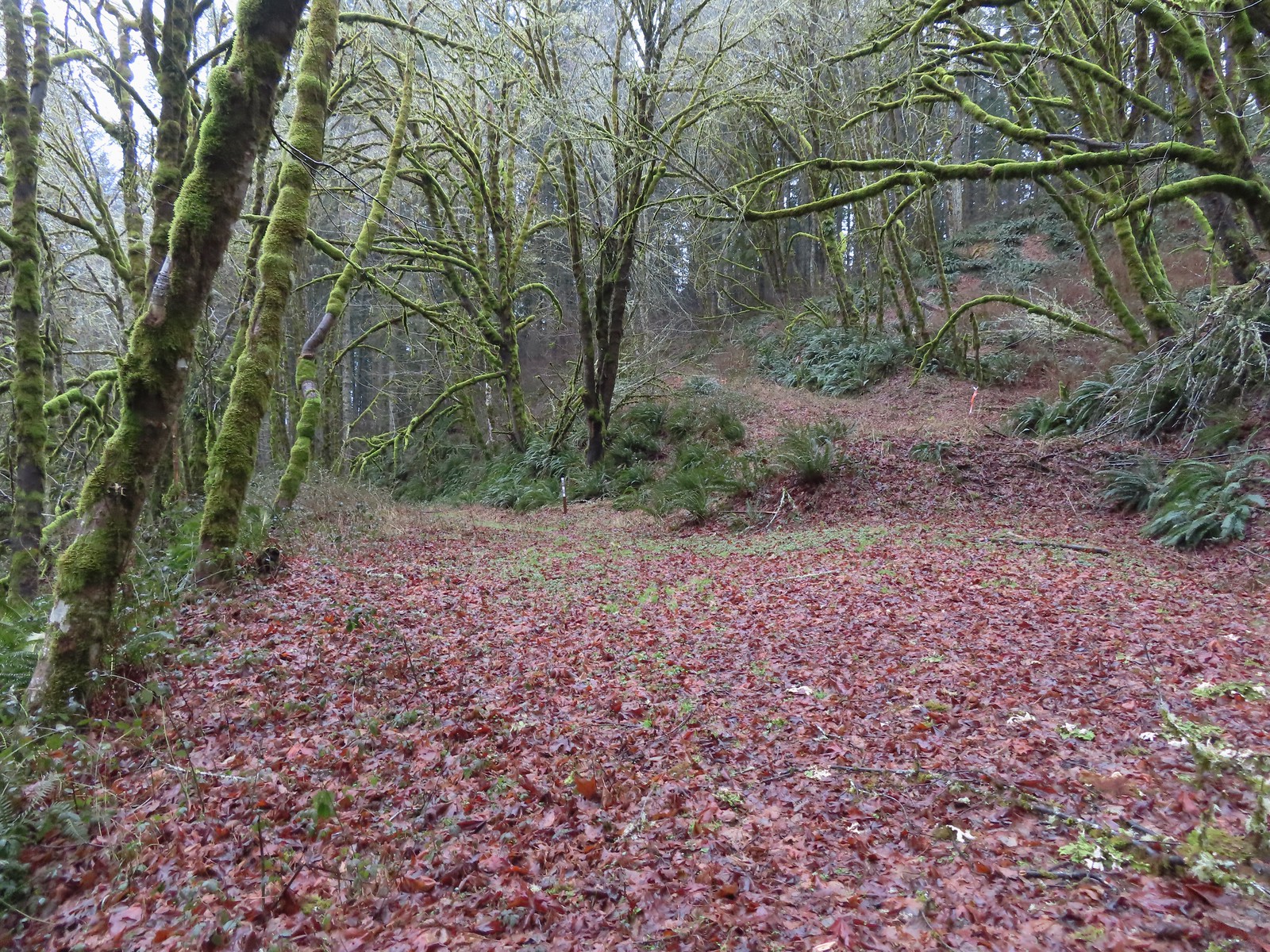
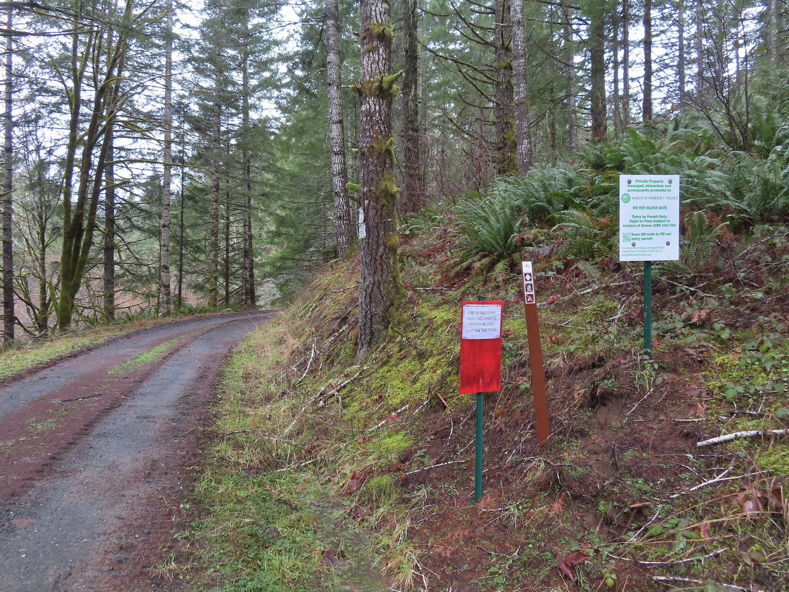
 The 4-way
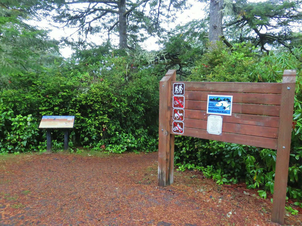
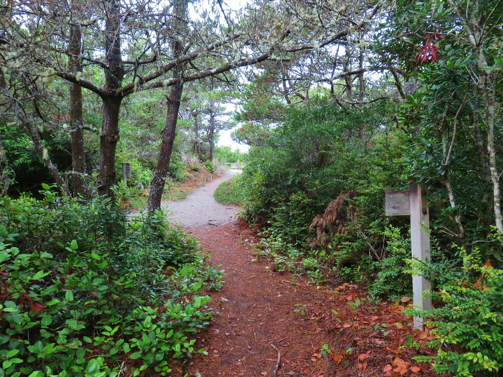
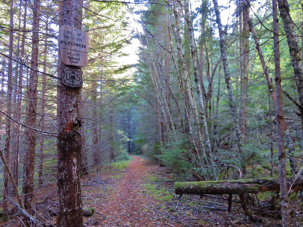
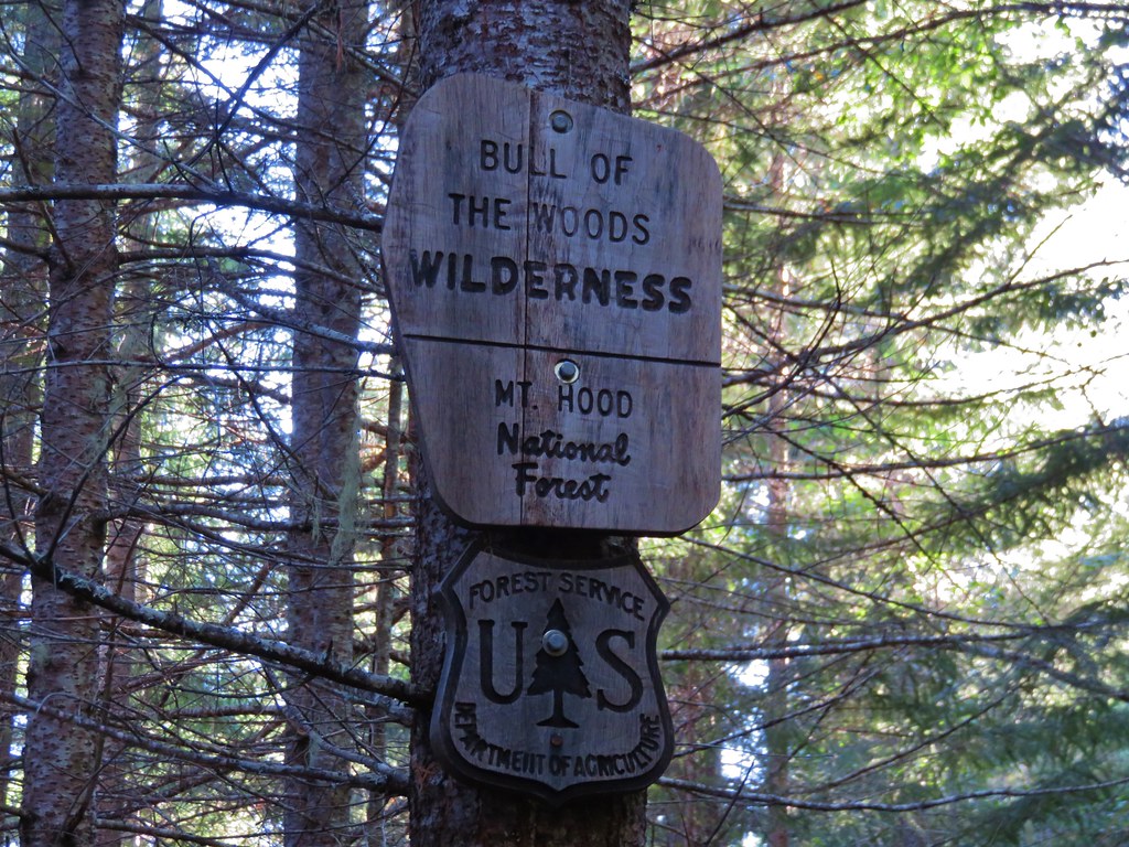
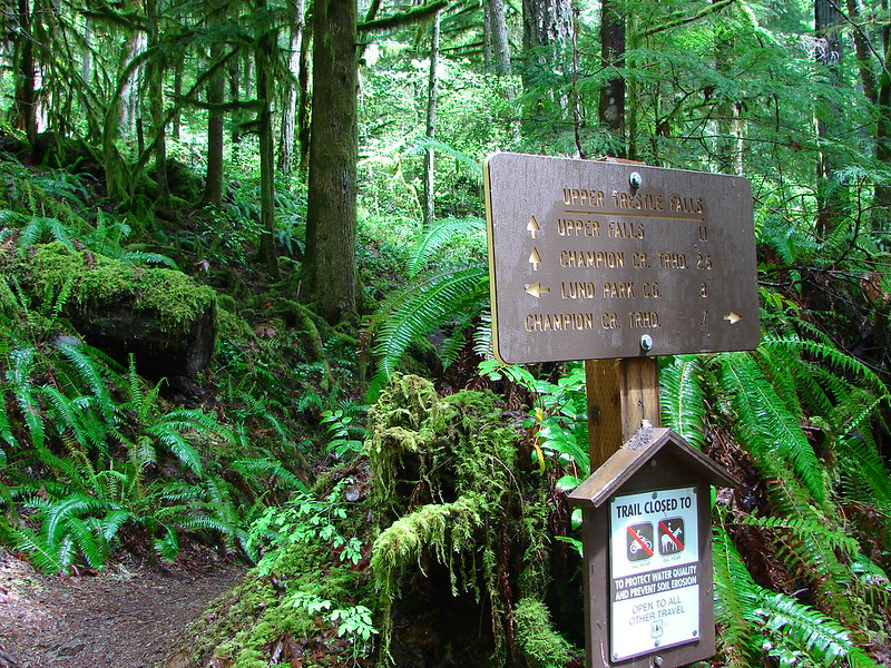
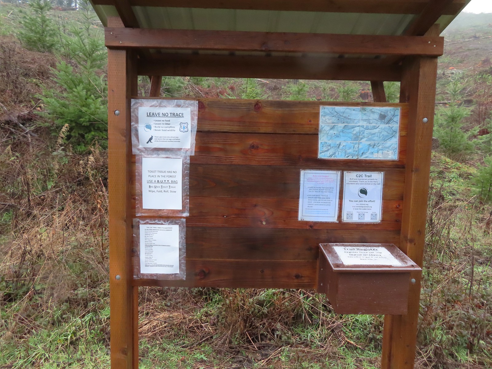
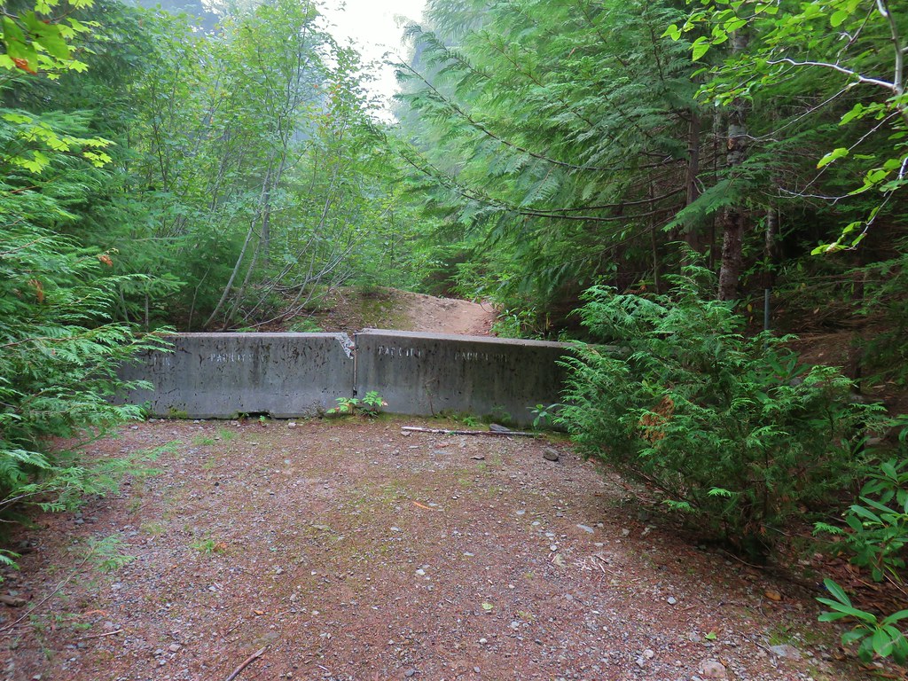
We took the center road at the 4-way which led downhill to a kiosk and yellow gate.
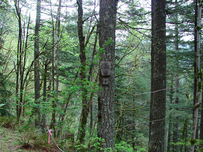
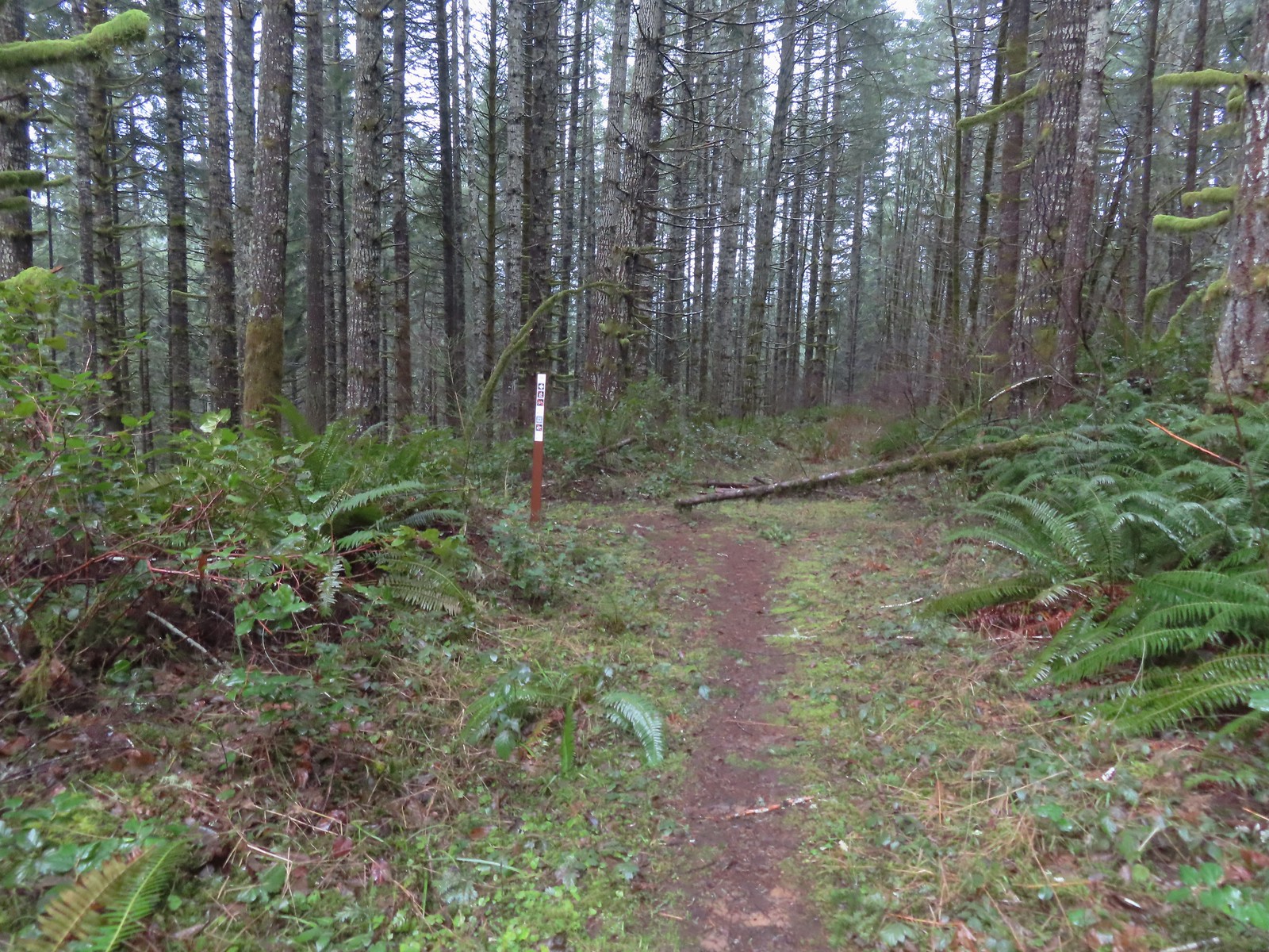
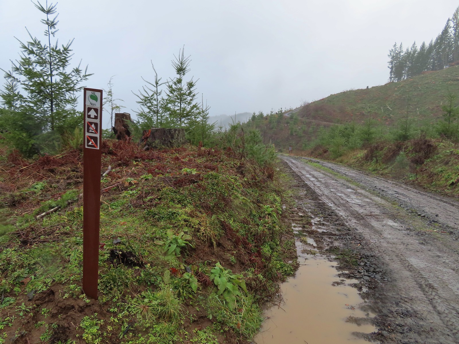 Trail marker with the kiosk and part of the gate in the distance.
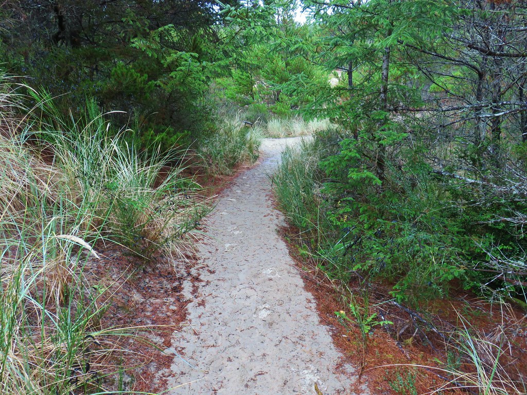
After filling out a card at the trail register we passed the gate and continued downhill on what at first was a very rocky old road.
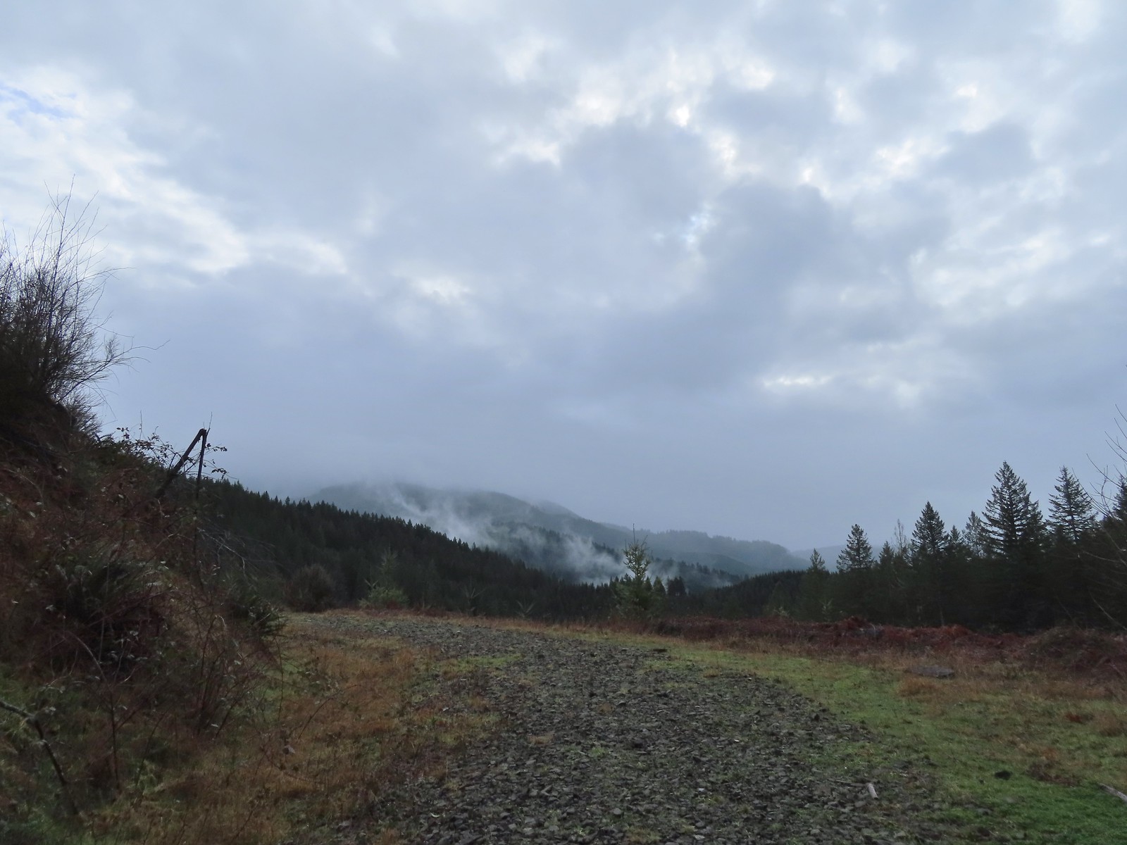
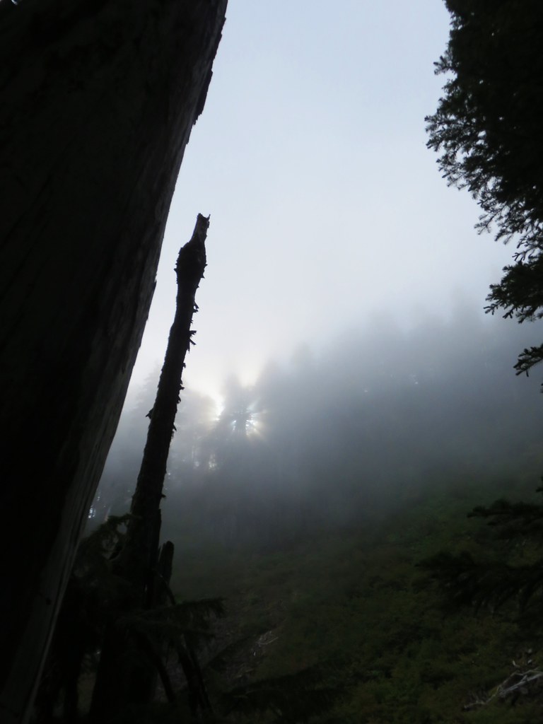
 Cloudy and wet morning as expected.
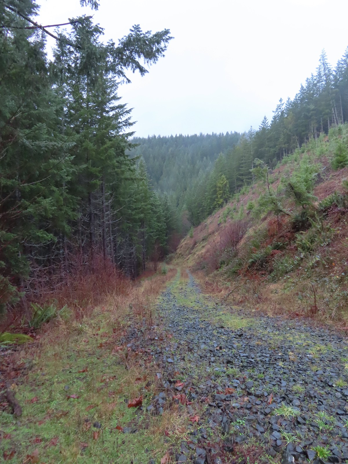
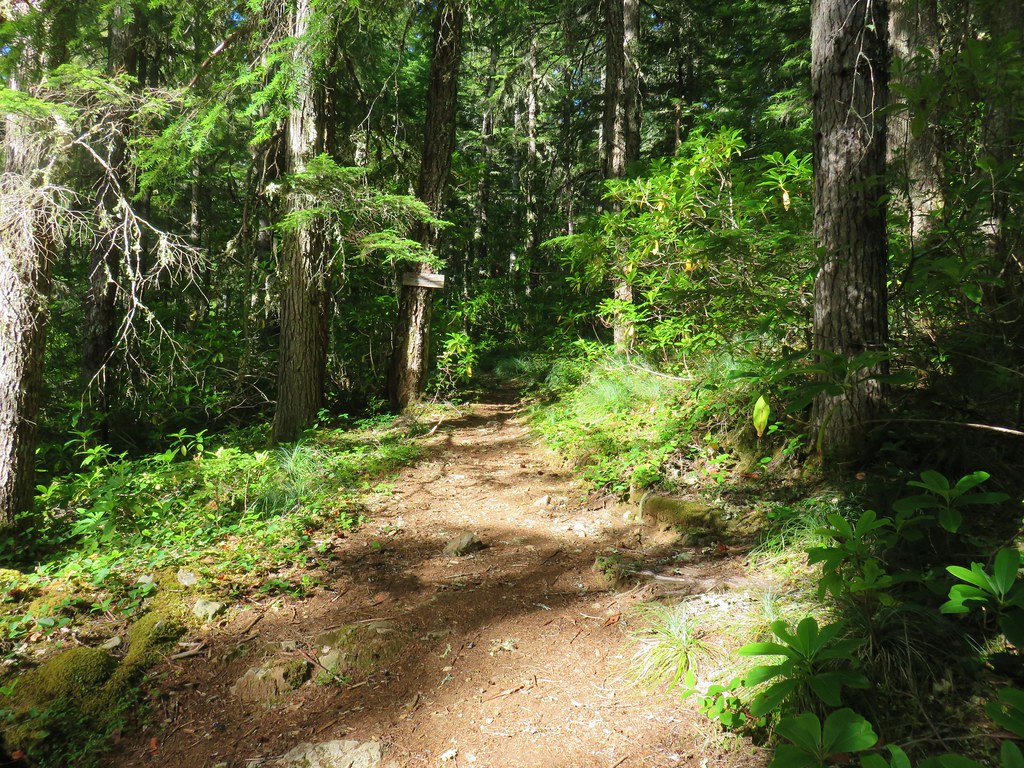
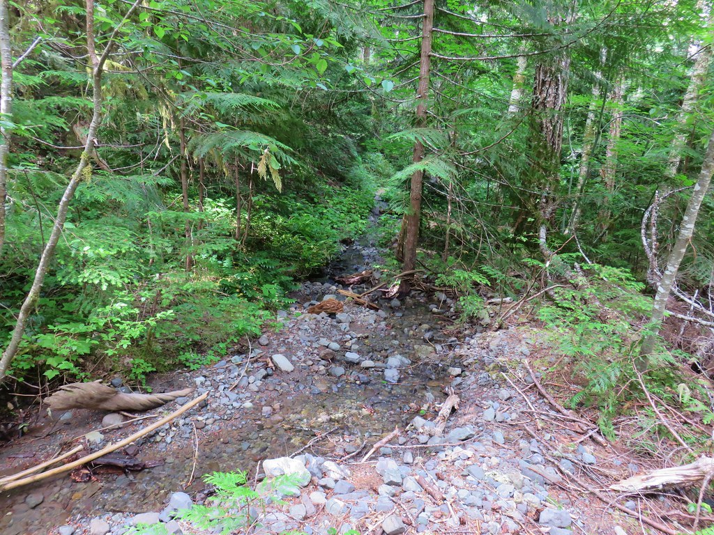
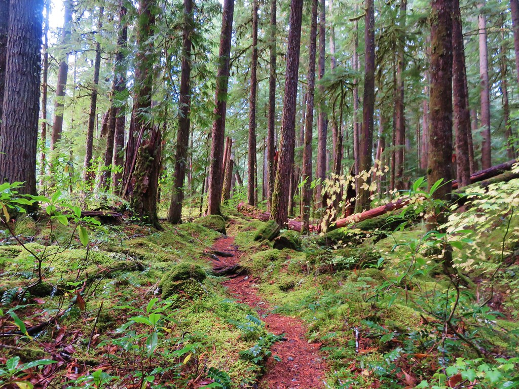
 The rocks on the first stretch were not a pleasant surface to walk on but it wasn’t too long before we left the rocks behind.
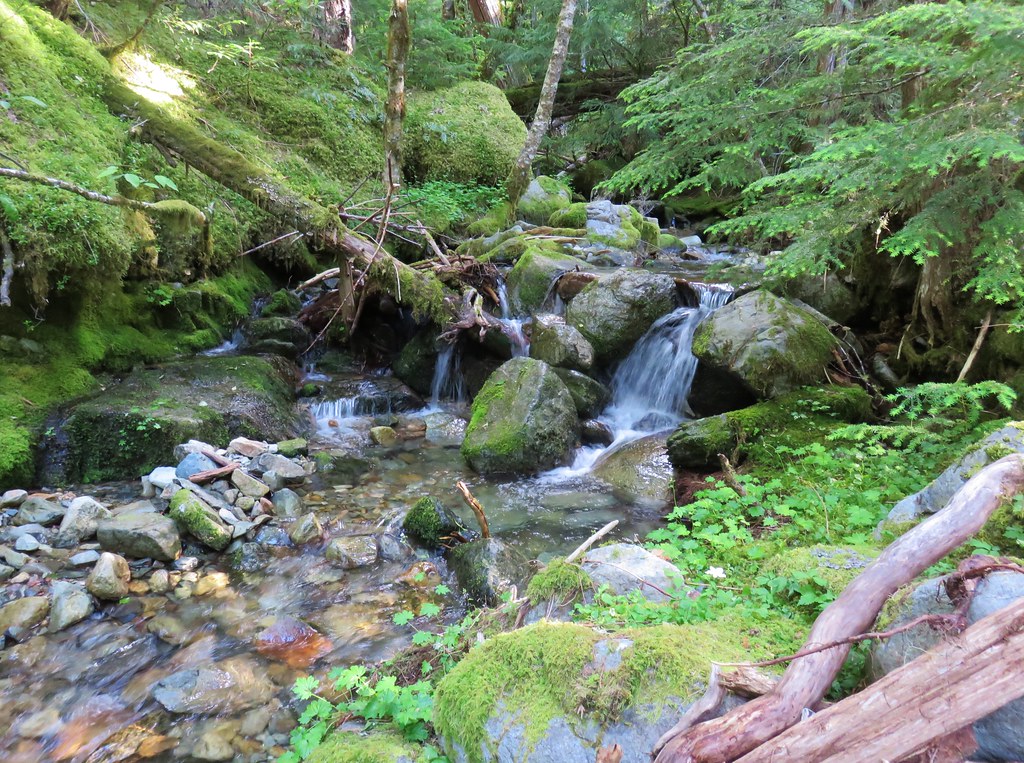
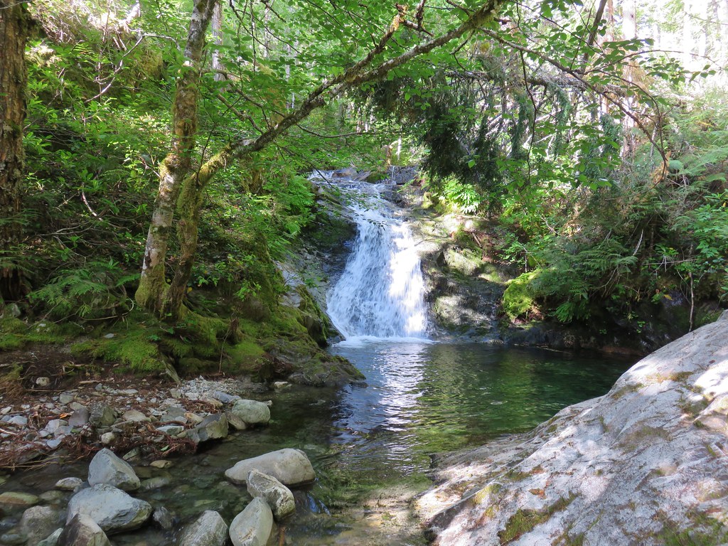
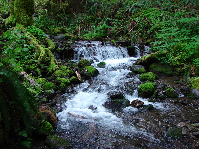
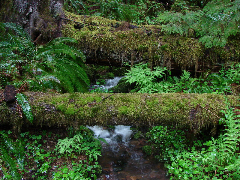
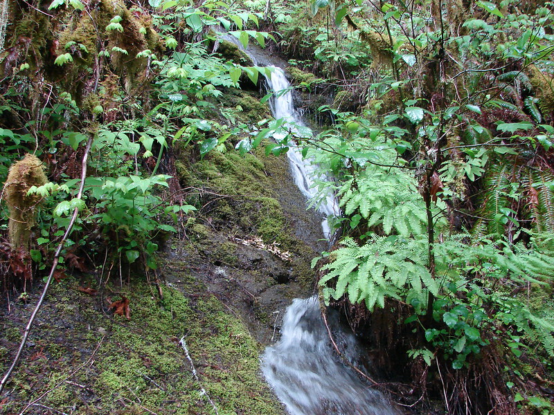
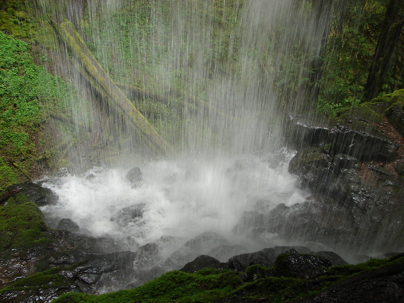
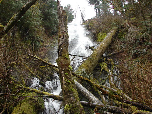
 Small cascade along a side creek.
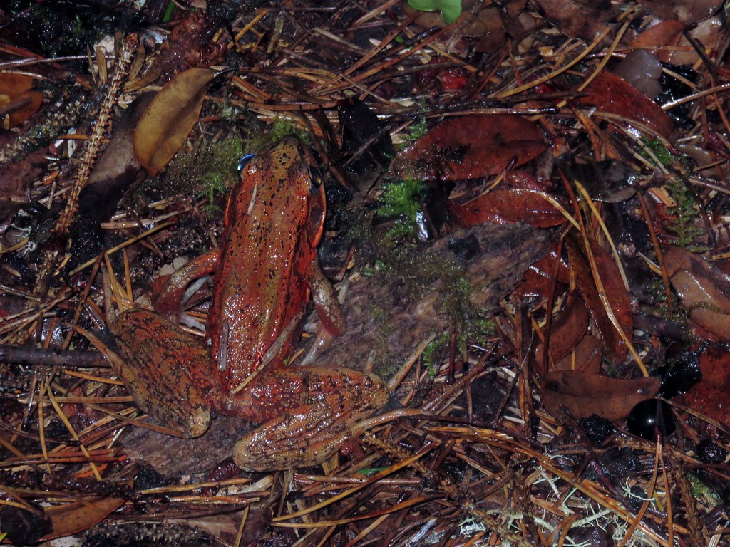
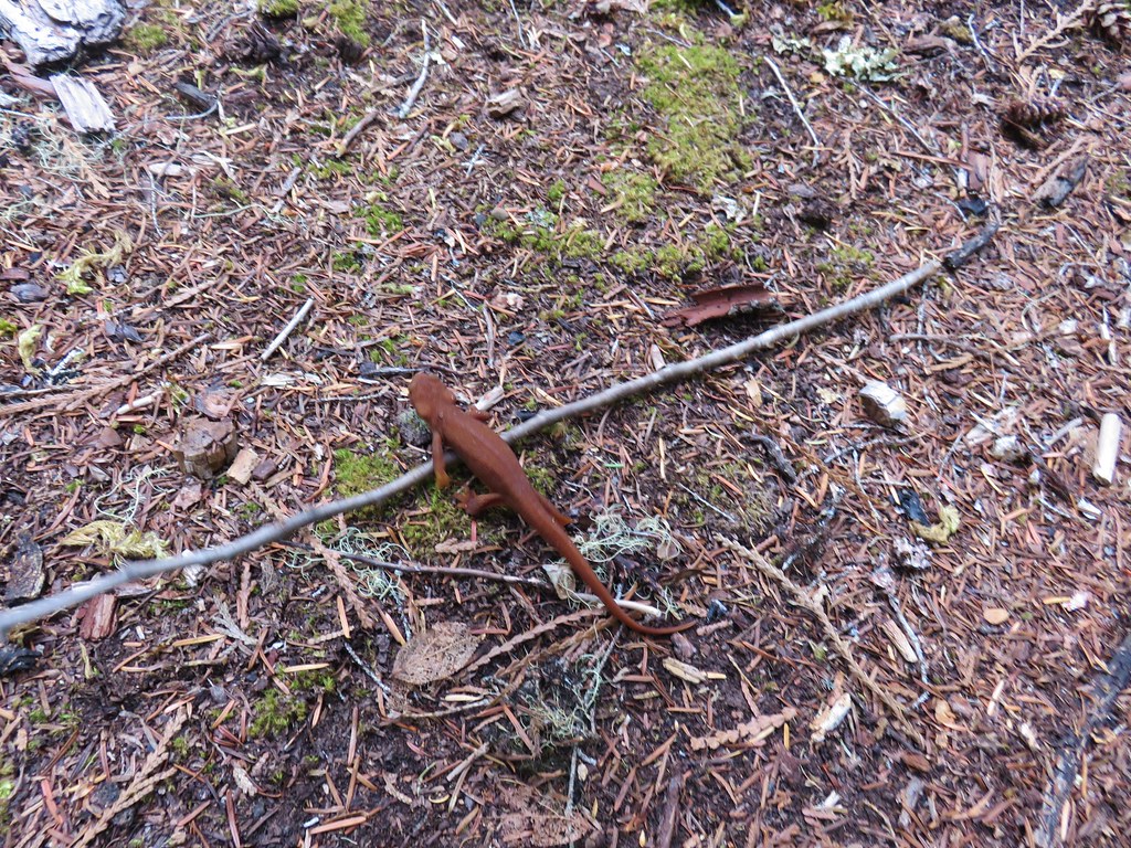
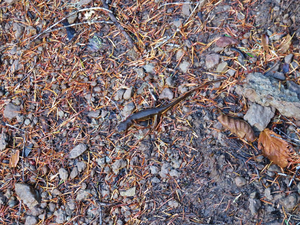
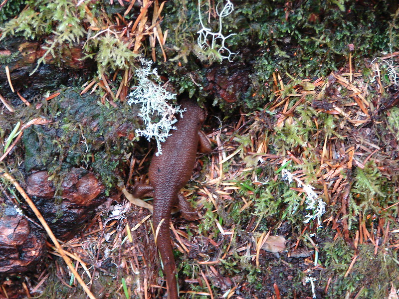
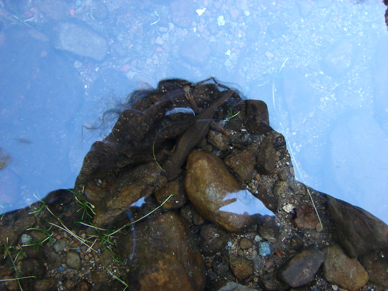
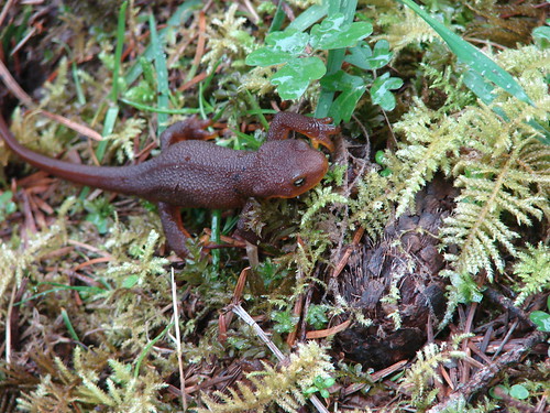
A decent rain shower had passed overhead while we were on the really rocky road, but after that conditions improved and we encountered no more significant precipitation. It was however unseasonably warm with temperatures in the mid 50s. The combination of the warm weather and wet conditions seemed to have brought all the rough-skinned newts out to explore.
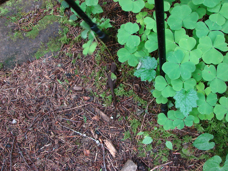
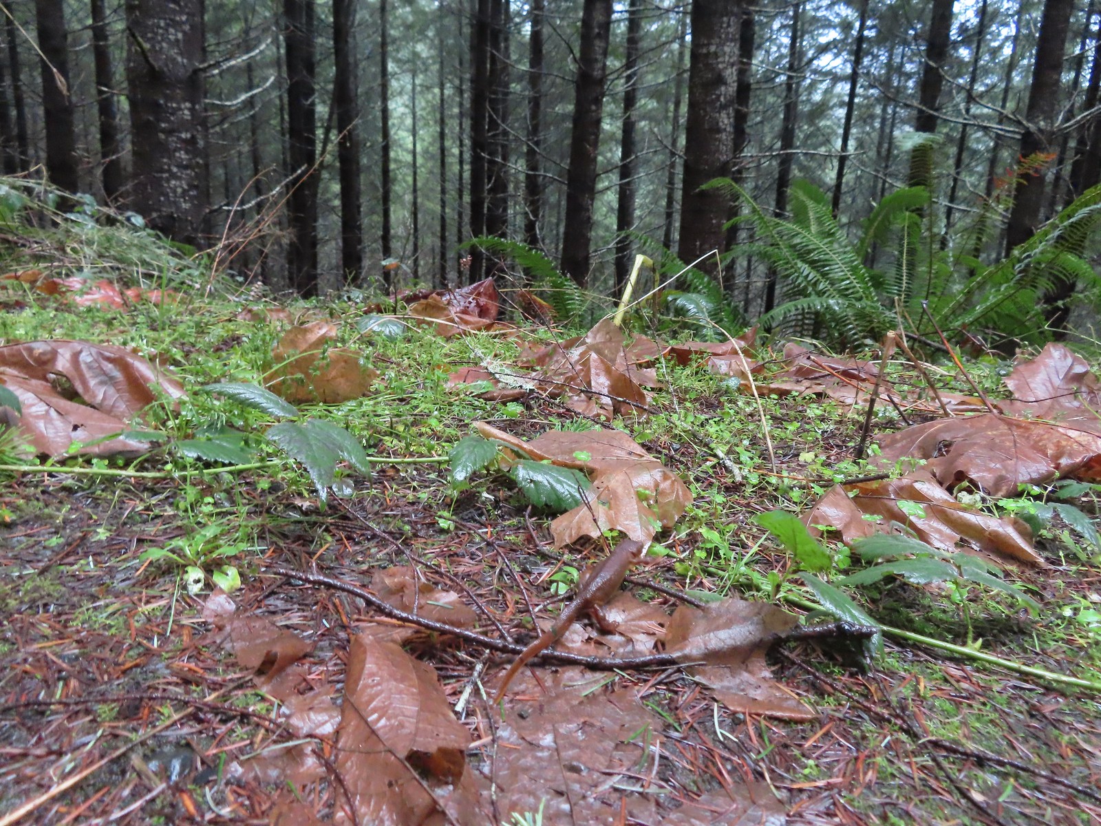 The first of the newts we spotted. They blend well with the leaves so we tried to really keep our eyes open to avoid accidently stepping on any. Over the course of the hike we saw several dozen and who knows how many we didn’t see.
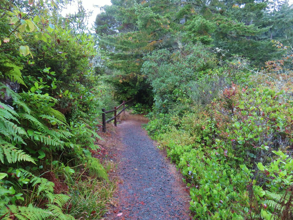
The trail was well marked wherever an old roadbed split off and where the Sugar Bowl Creek Trail segment split off from the roadbed a little over a mile from the kiosk.
 C2C Trail marker along the left-hand (downhill) fork.

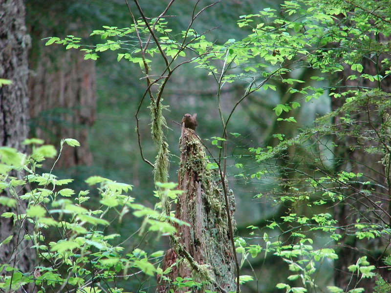
 This was the only significant blowdown we encountered on the hike and the tree here was a fairly easy duck under.
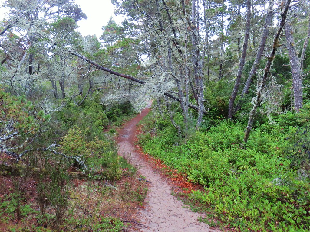
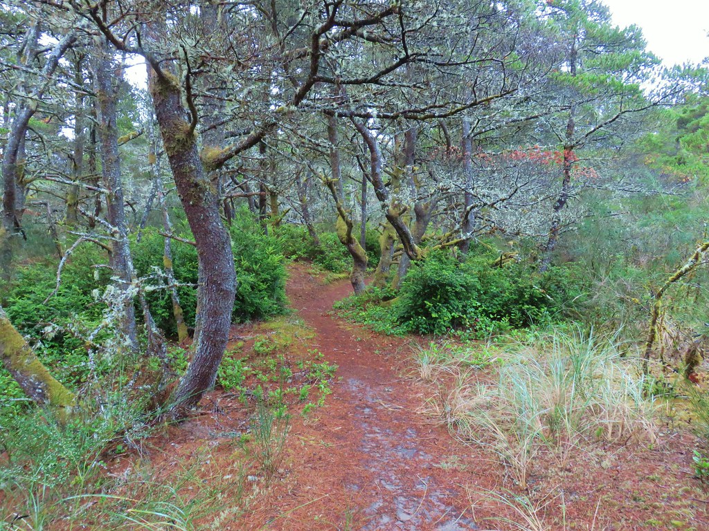
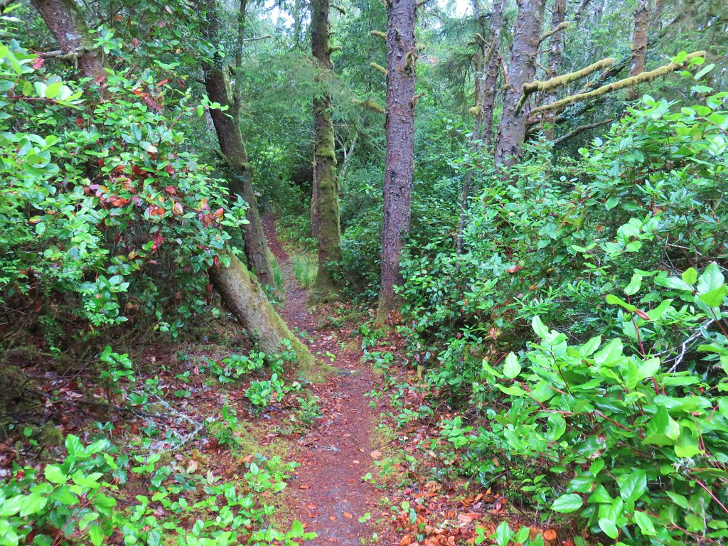
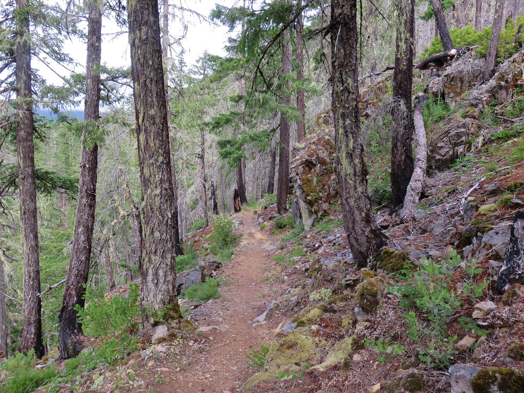
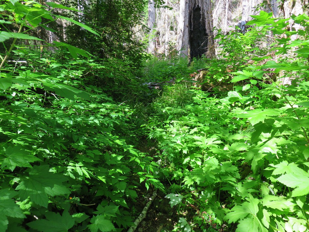
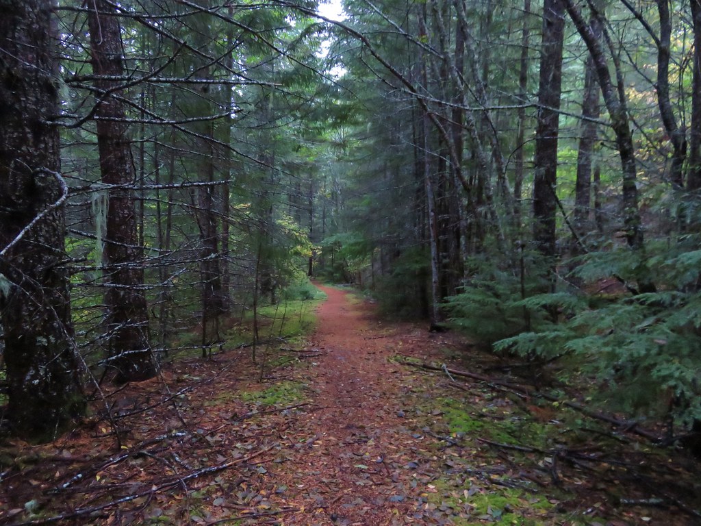
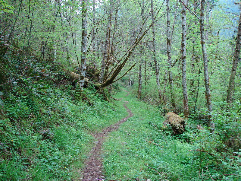
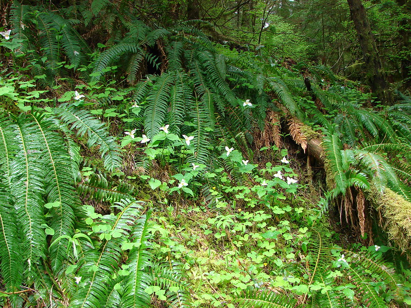
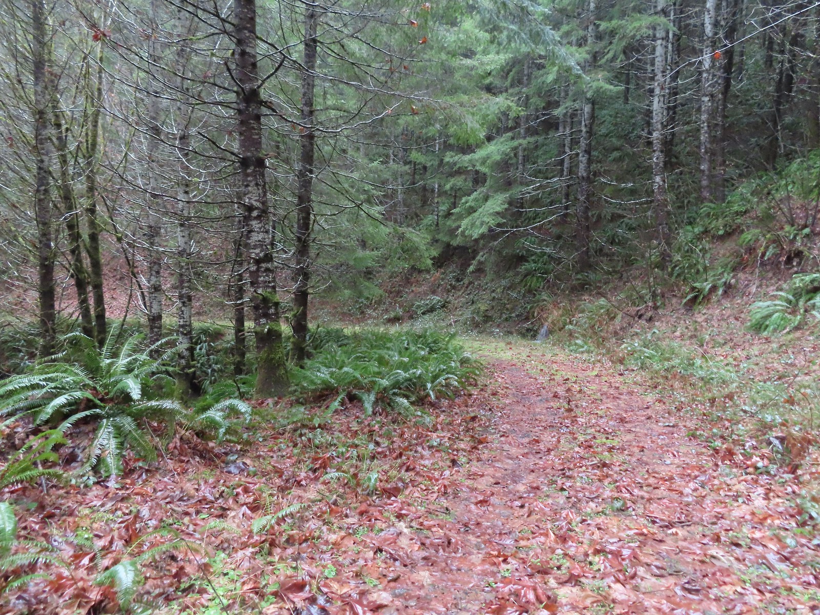
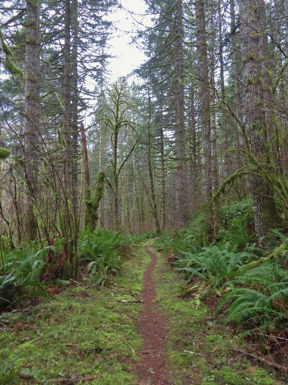
 The Sugar Bowl Creek Trail segment leaving the old road. This was the only portion that was true singletrack along the Sugar Bowl segment. Here the trail passes through a portion of the Siuslaw National Forest.
 The Sugar Bowl Creek Trail switchbacked downhill to the East before turning back to the SW in the Sugar Bowl.
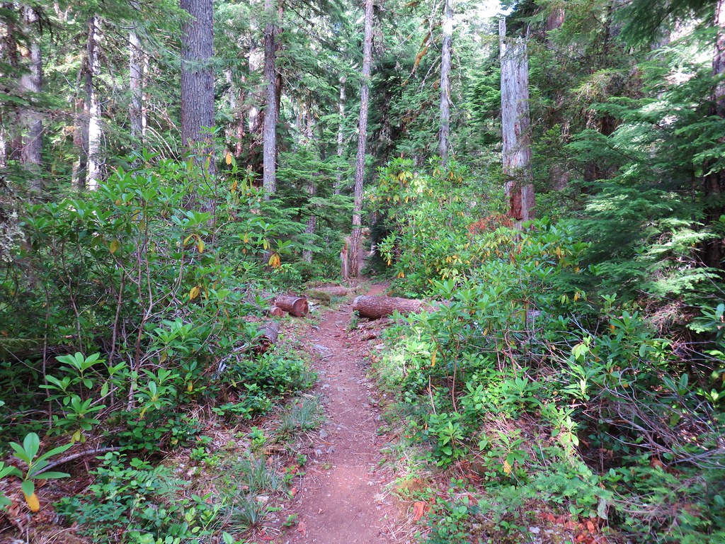
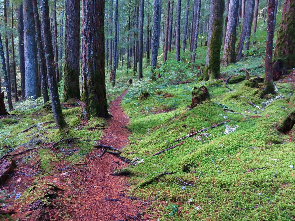
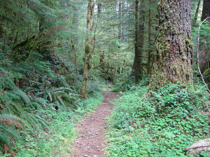
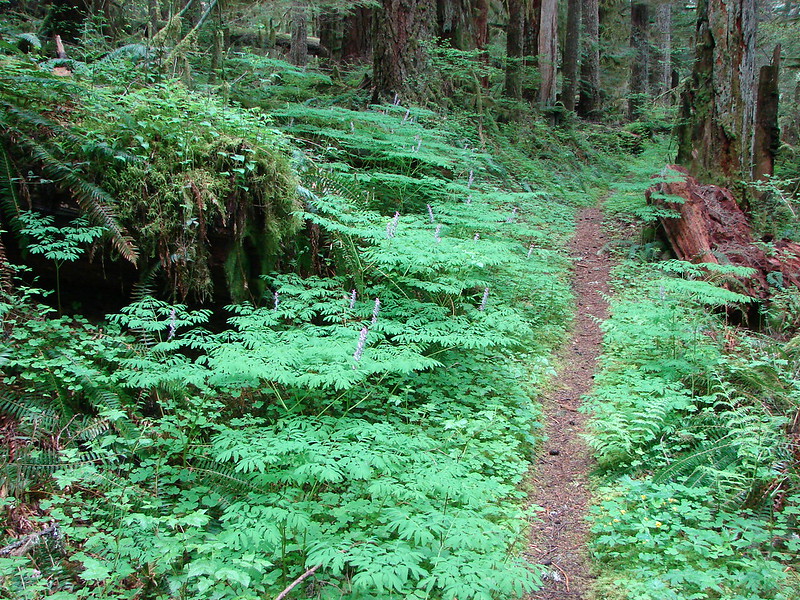
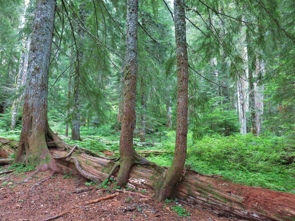
 The trail eventually rejoined the old roadbed.
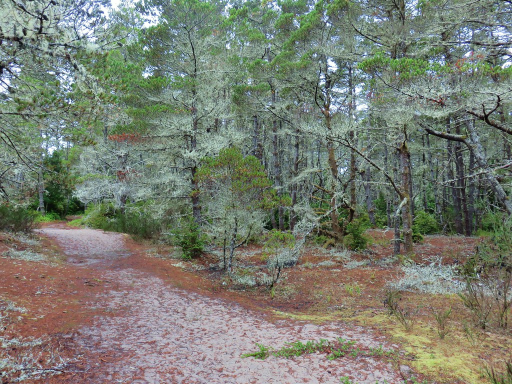
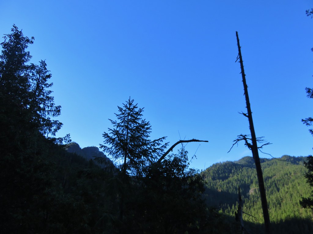
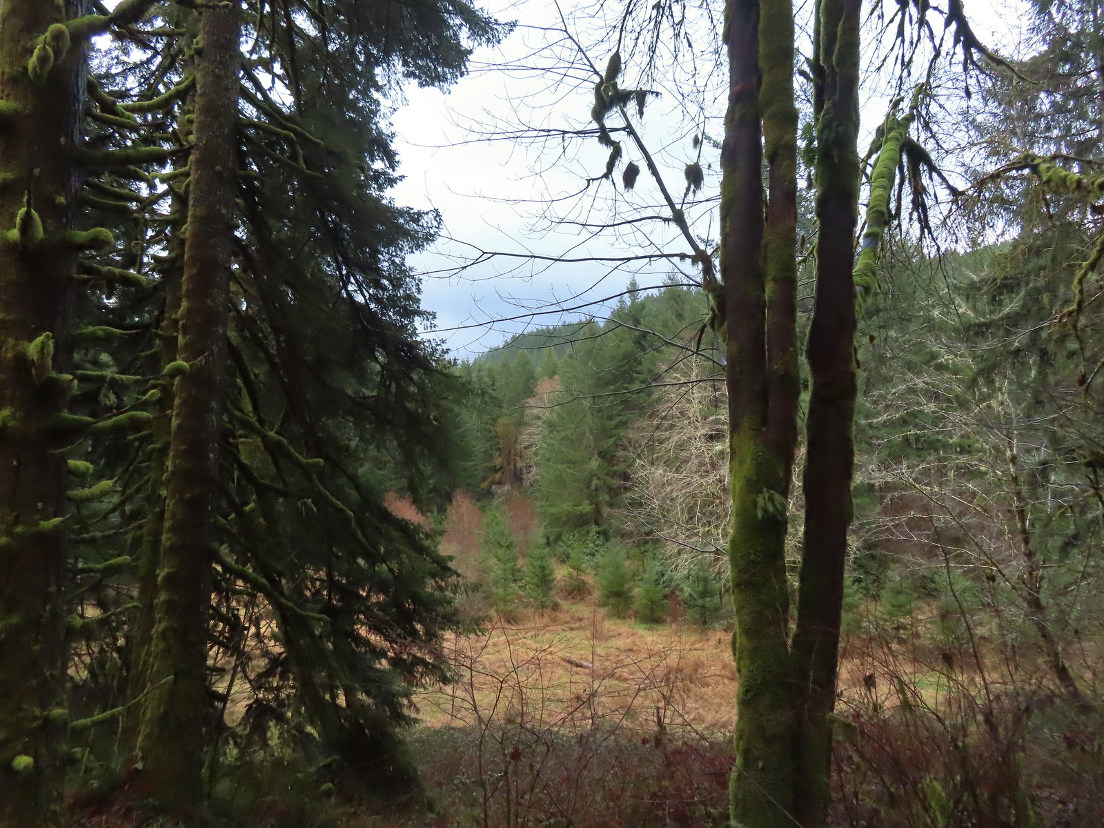
 Actual blue sky.
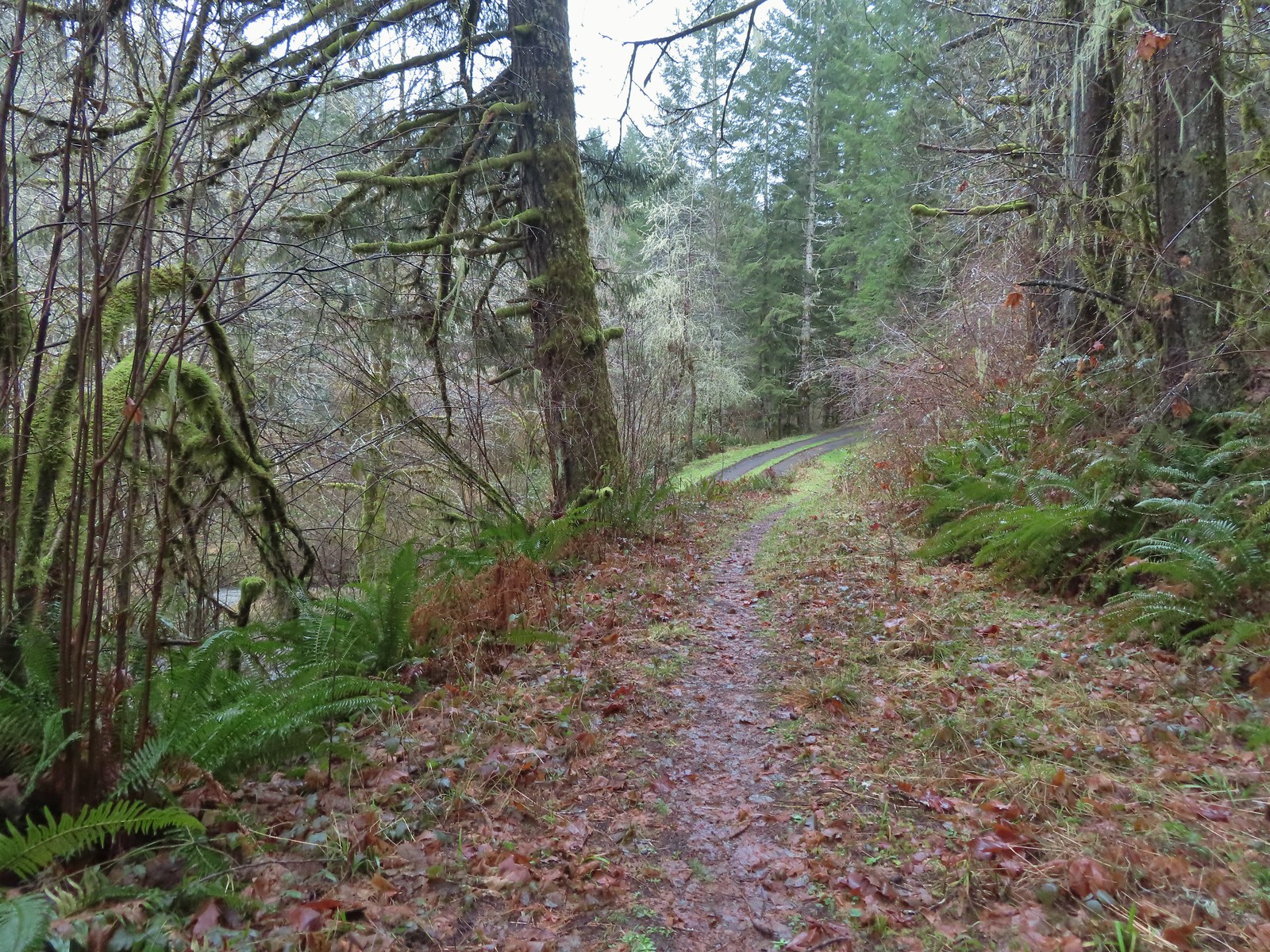 Arriving at Mary’s Peak Road.
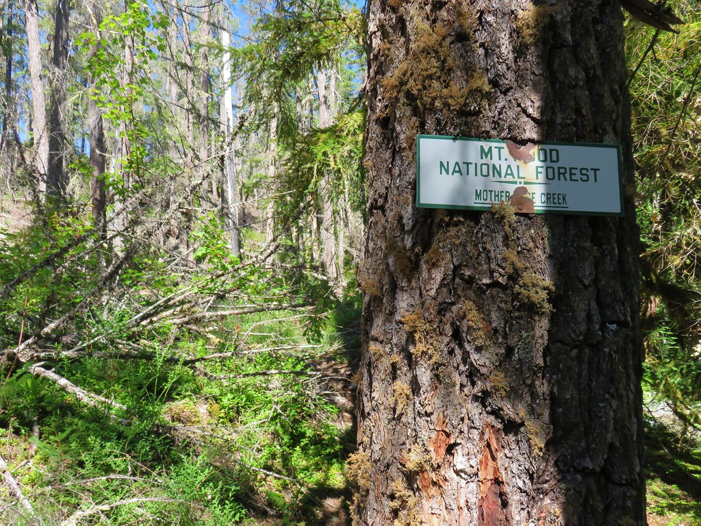
 Signage along Mary’s Peak Road for the C2C.
We followed Mary’s Peak Road just over a mile to another kiosk and gate near Harlan Road where we turned around.

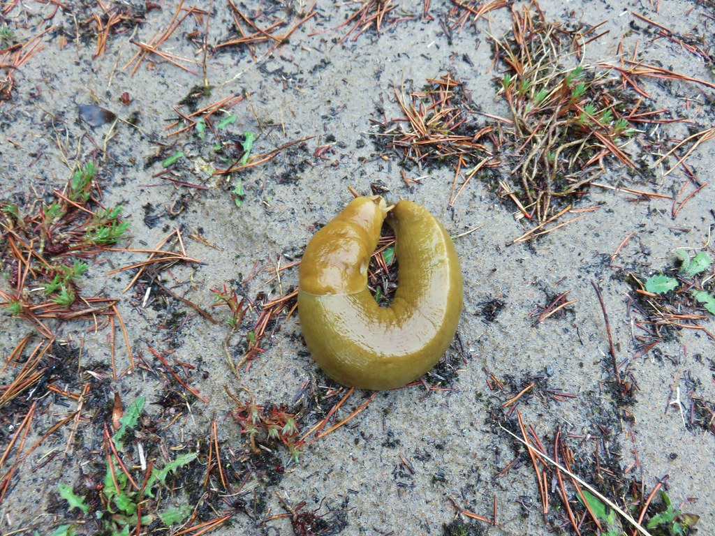
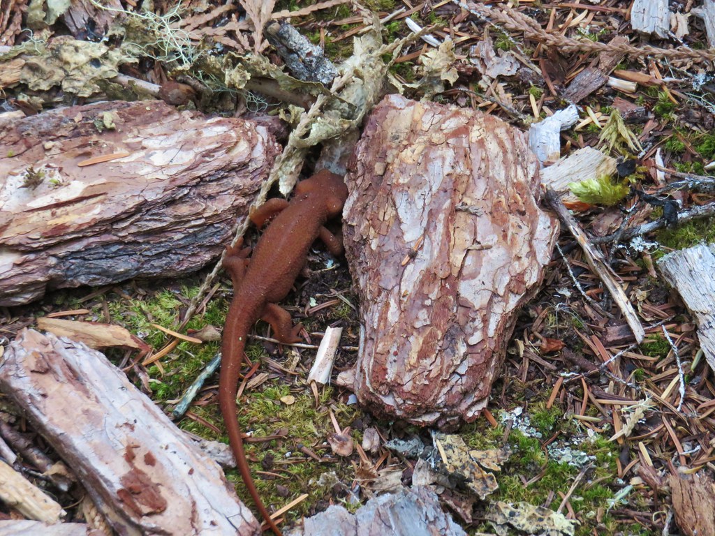
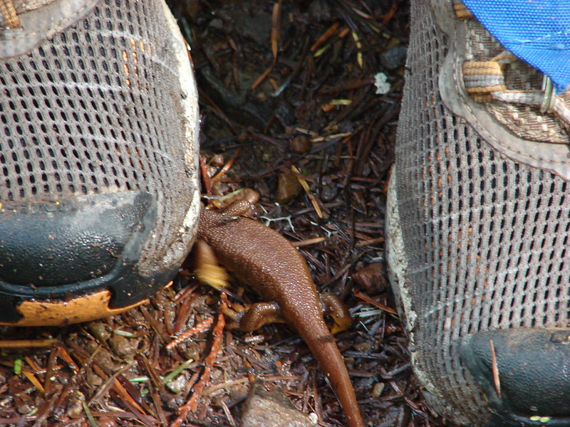
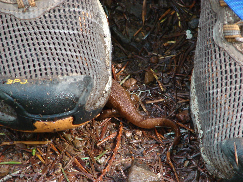
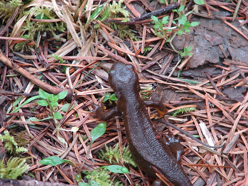
 This particular newt was not about to move out of Heather’s way.
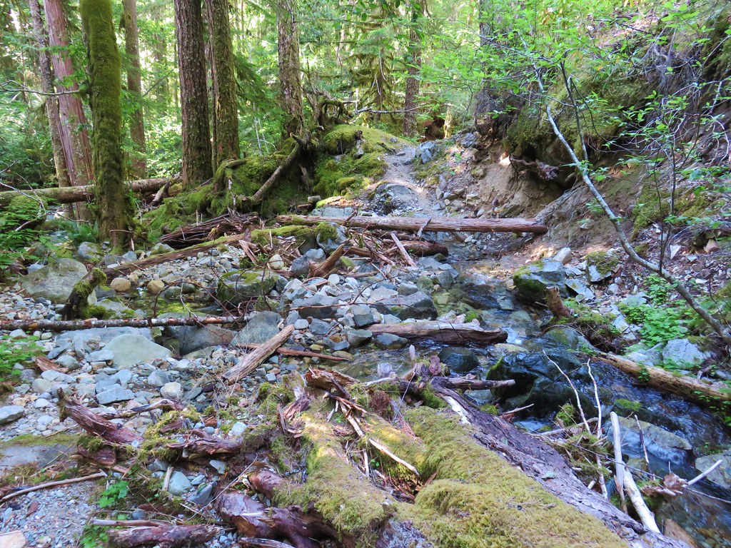
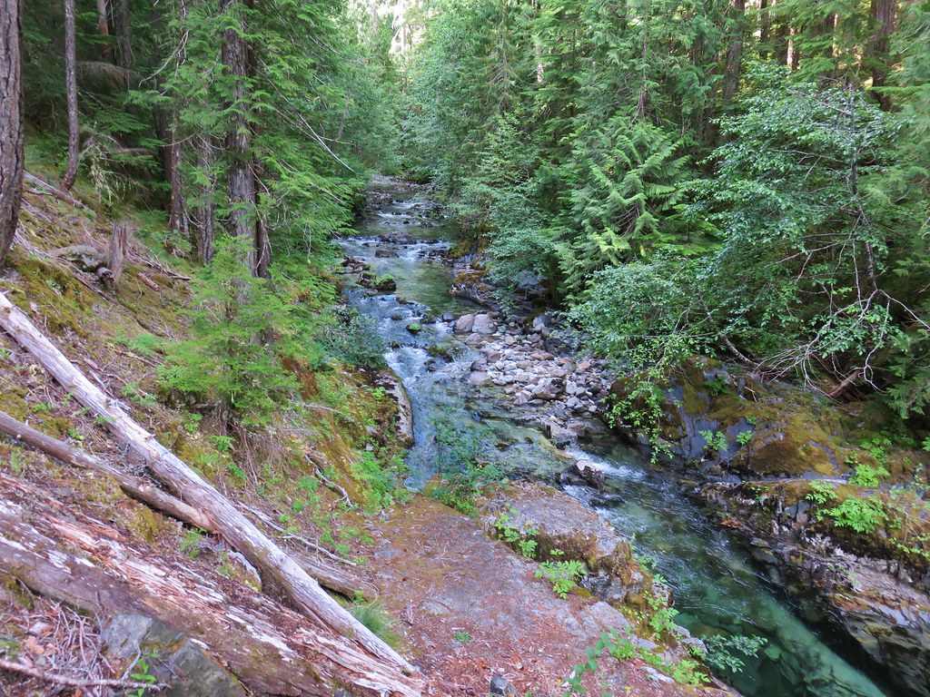
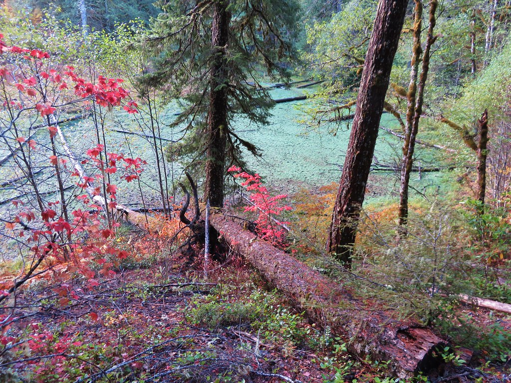
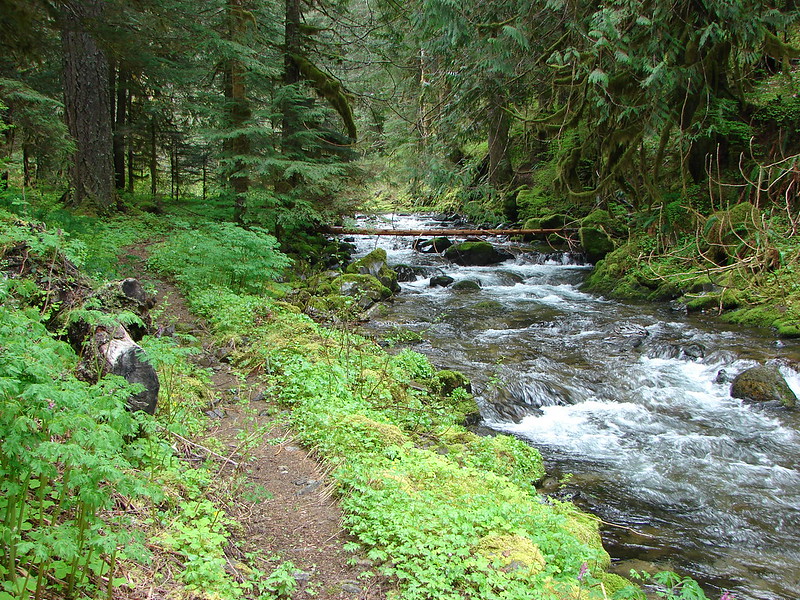
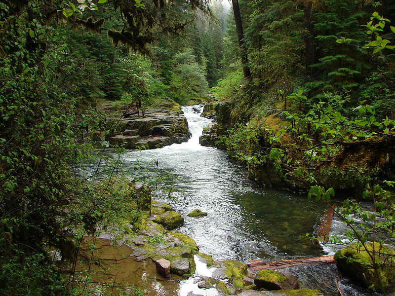
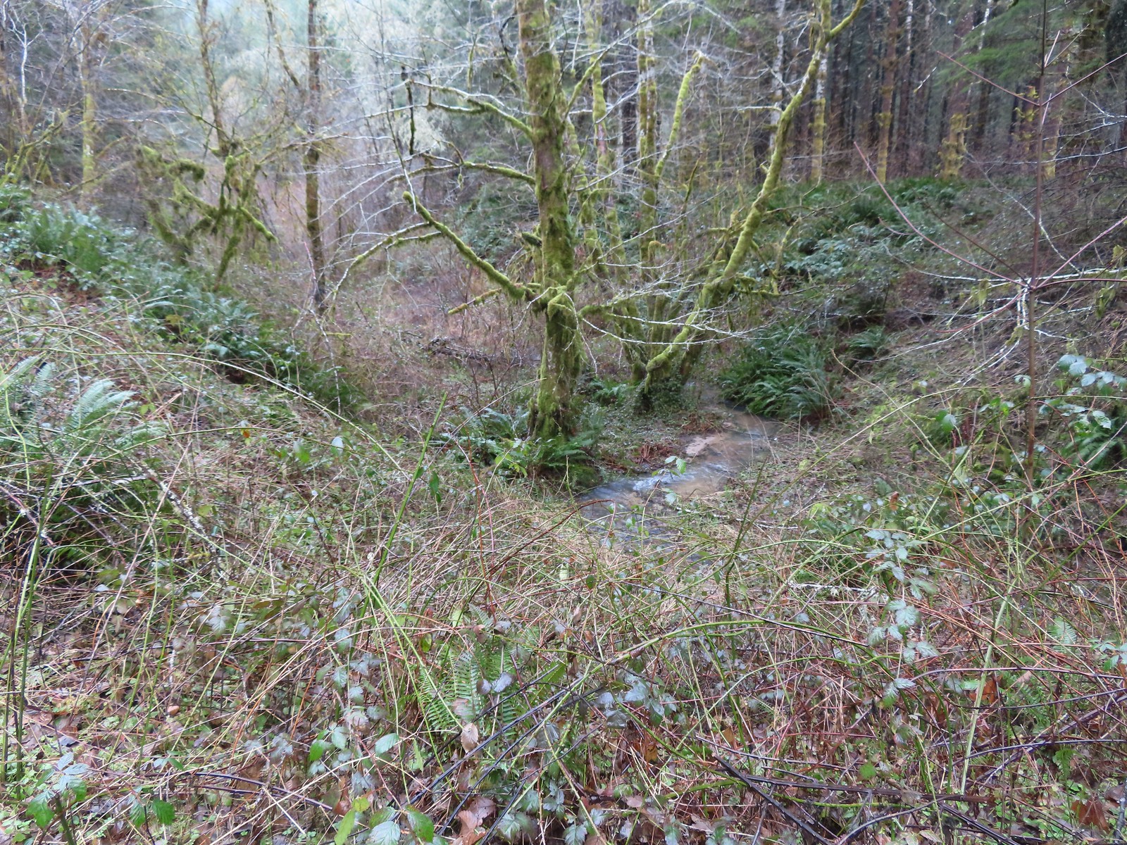 A side creek flowing toward Sugar Bowl Creek.
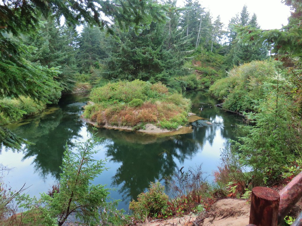
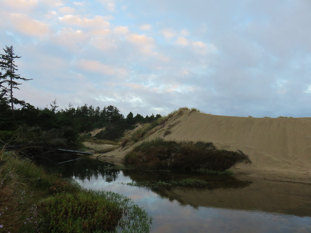
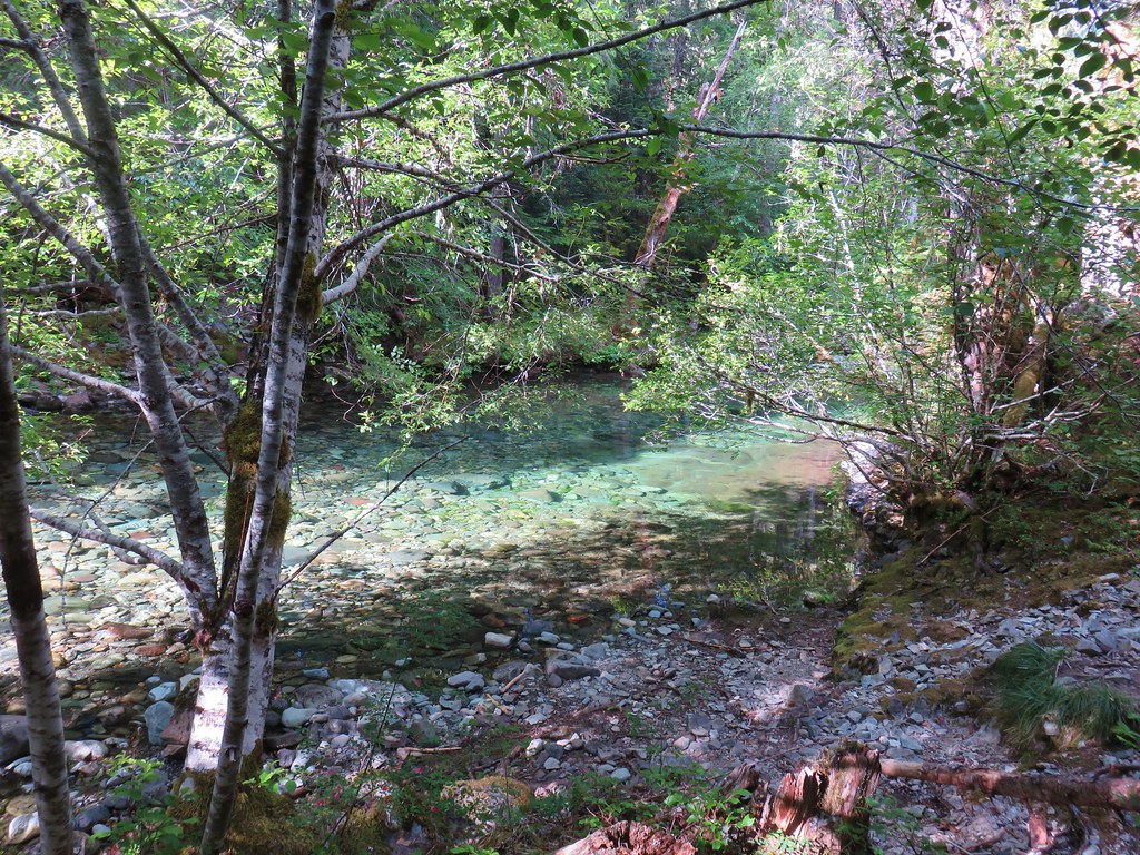
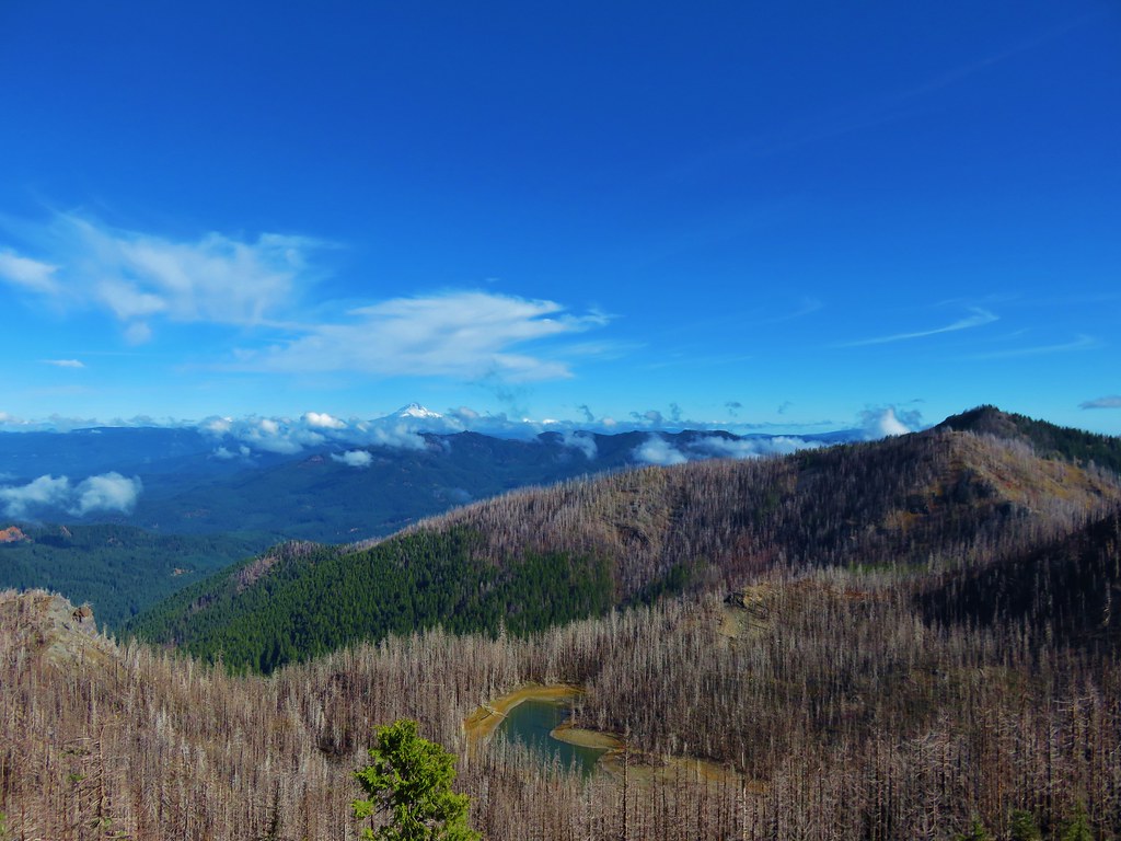
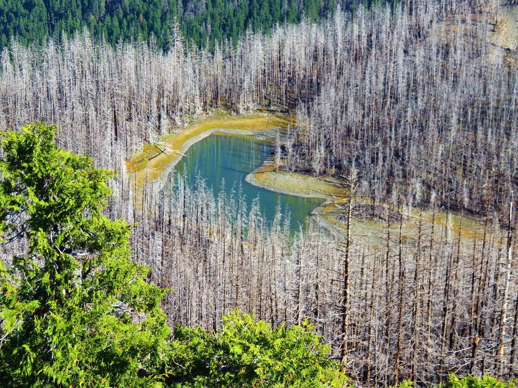
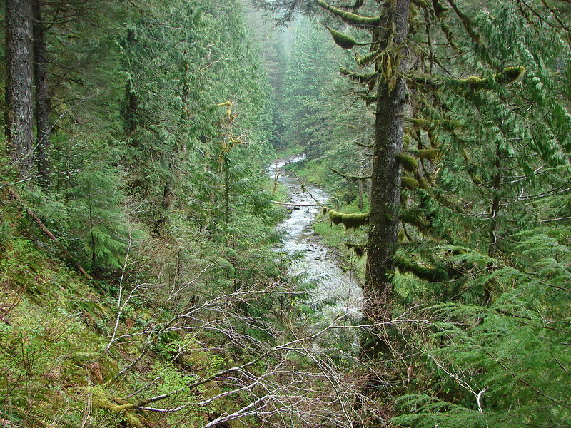
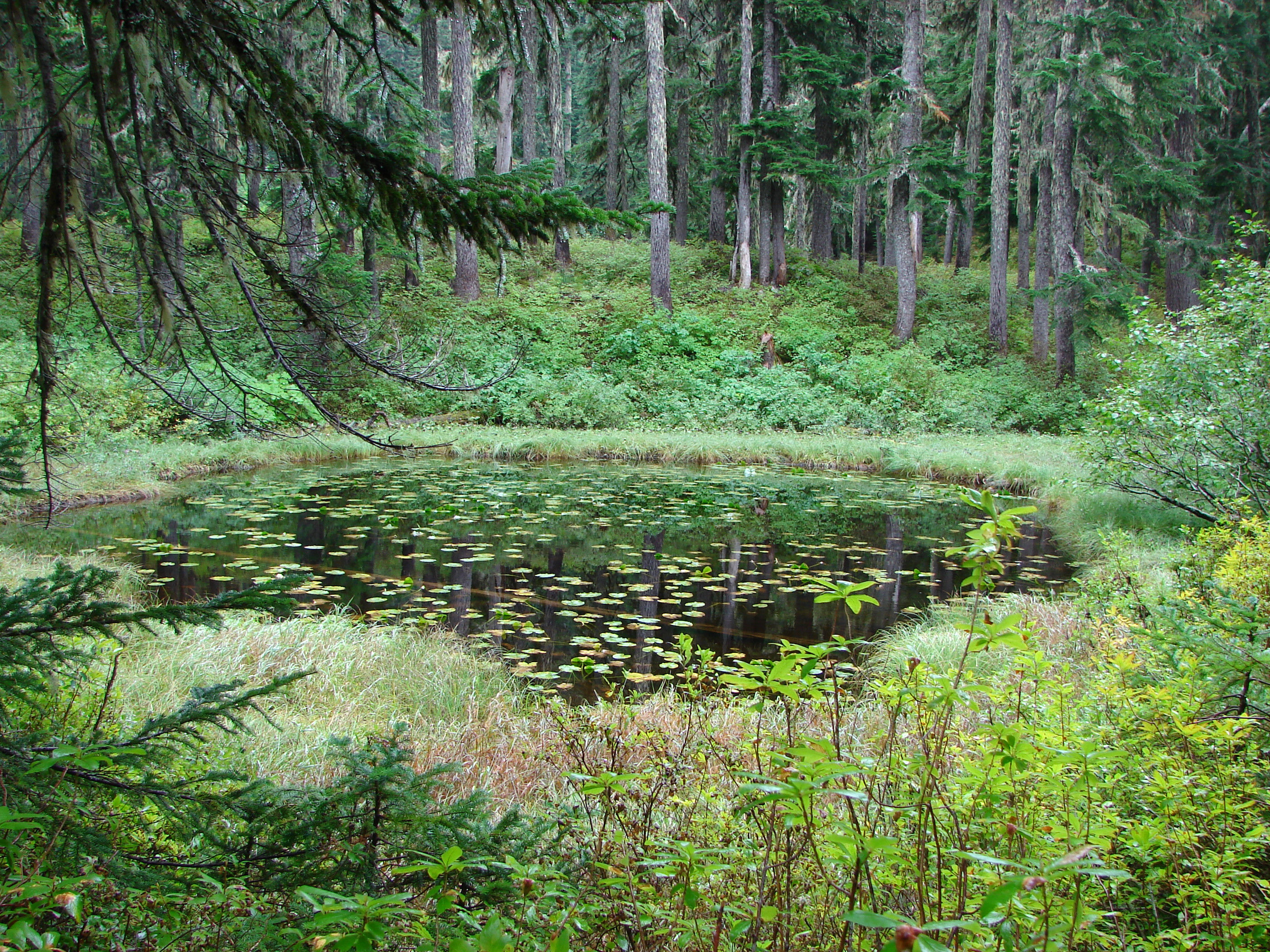
 Sugar Bowl Creek was never visible from the C2C but it was out there somewhere.
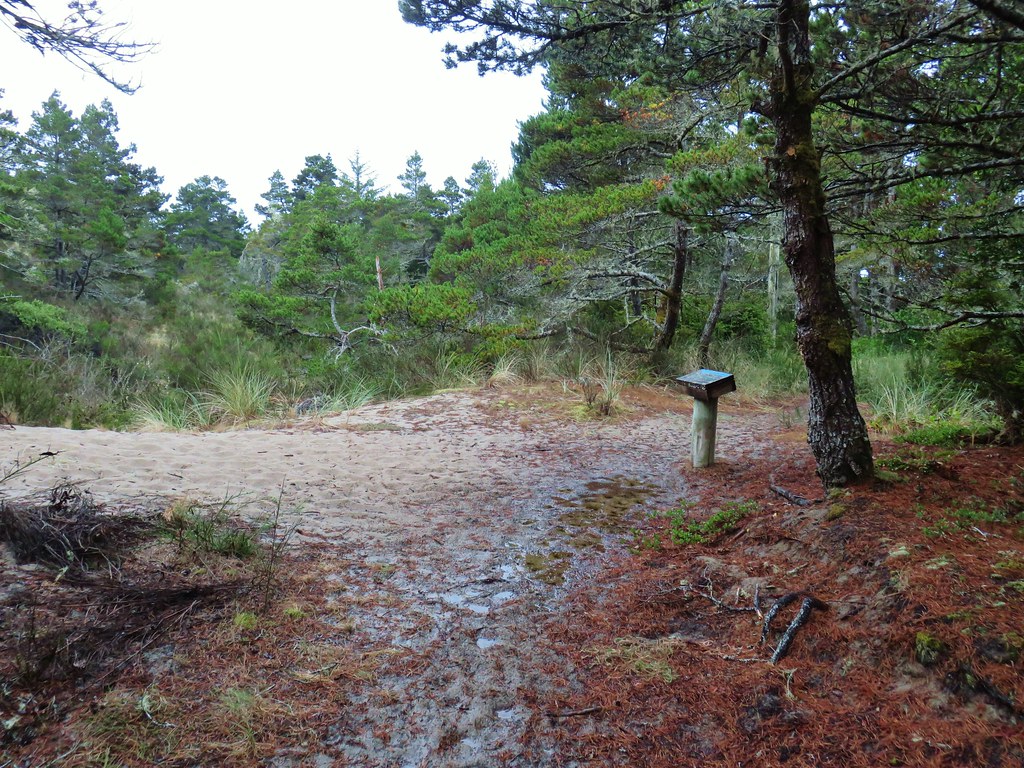
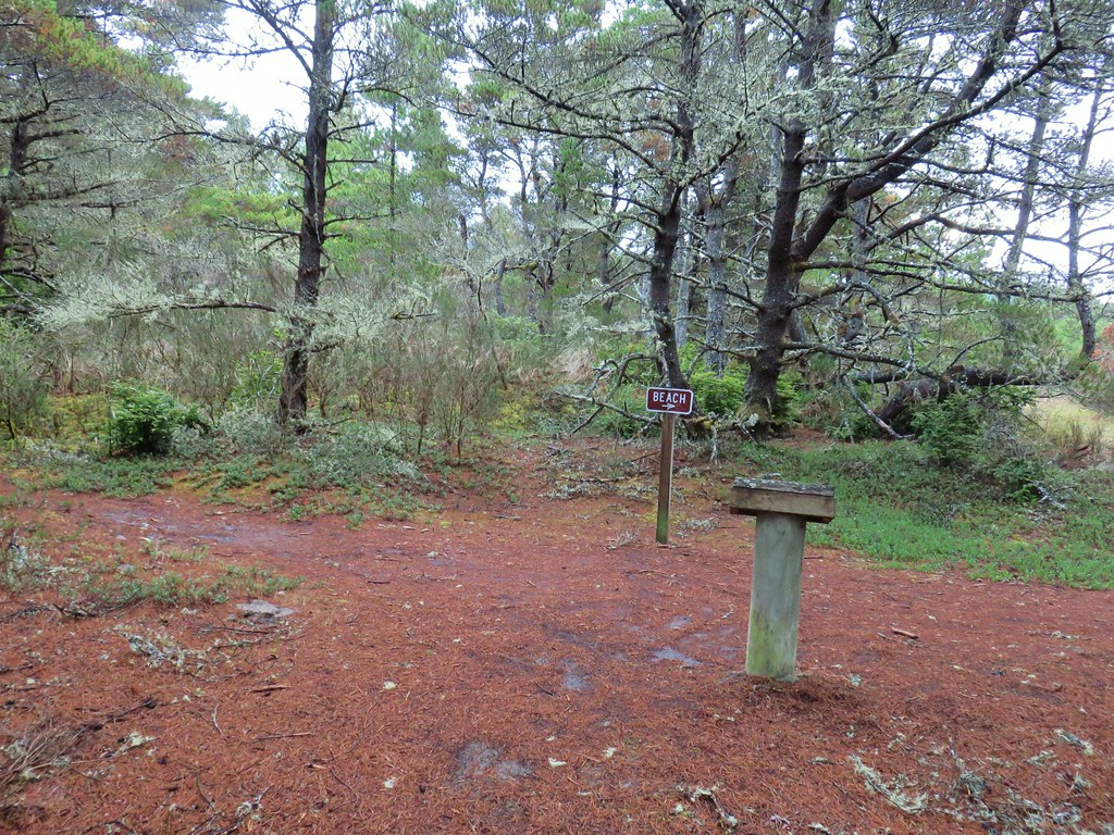
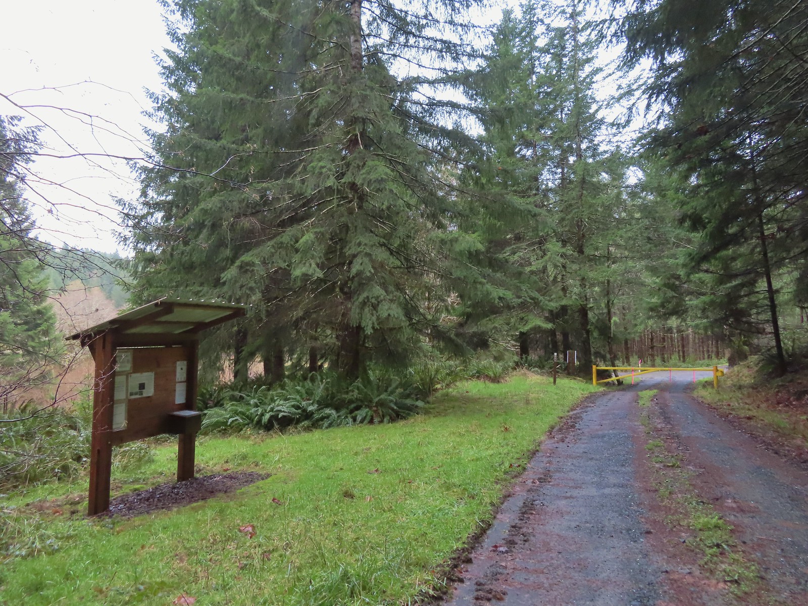 The Harlan Road Gate and kiosk.
The uphill hike back was a little warmer than we were prepared for, and it didn’t help that we were needlessly wearing raingear which doesn’t breathe.

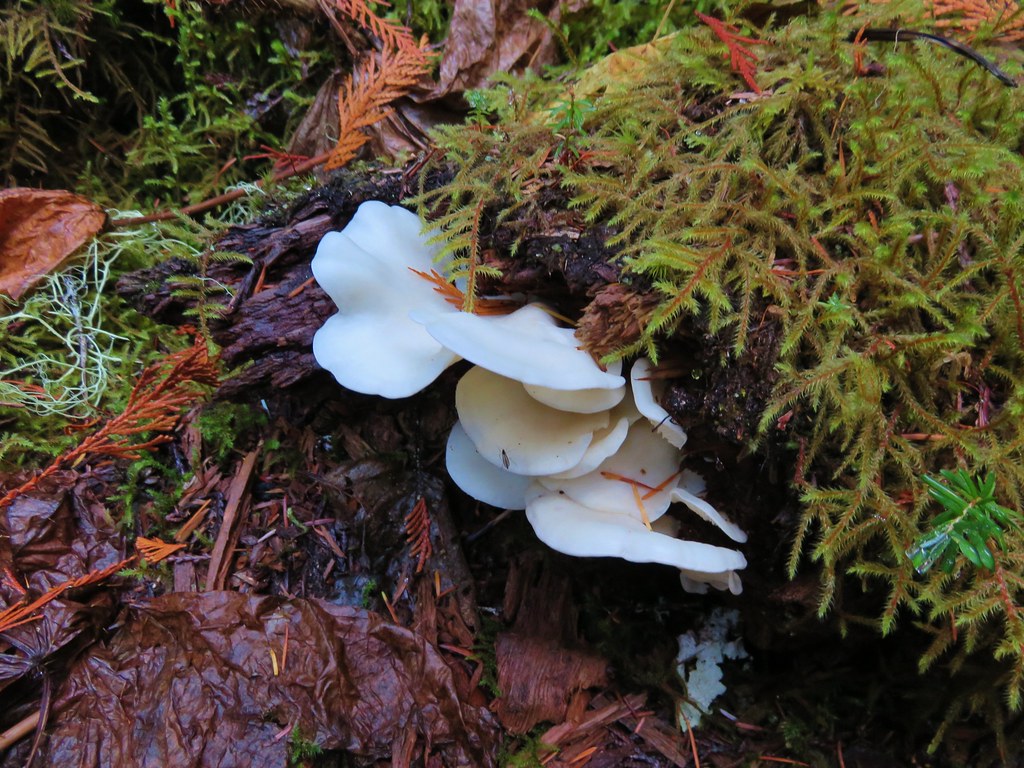
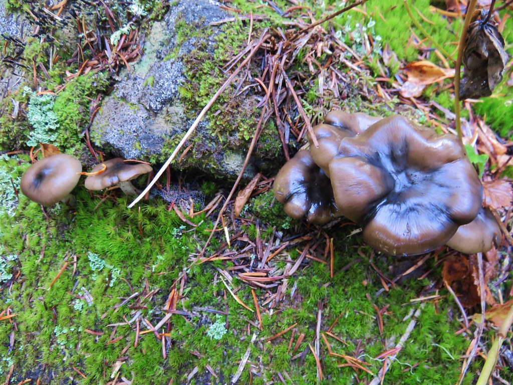
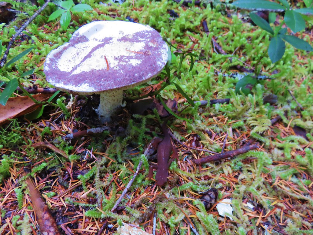
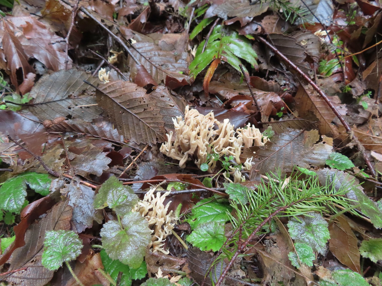 Coral fungus
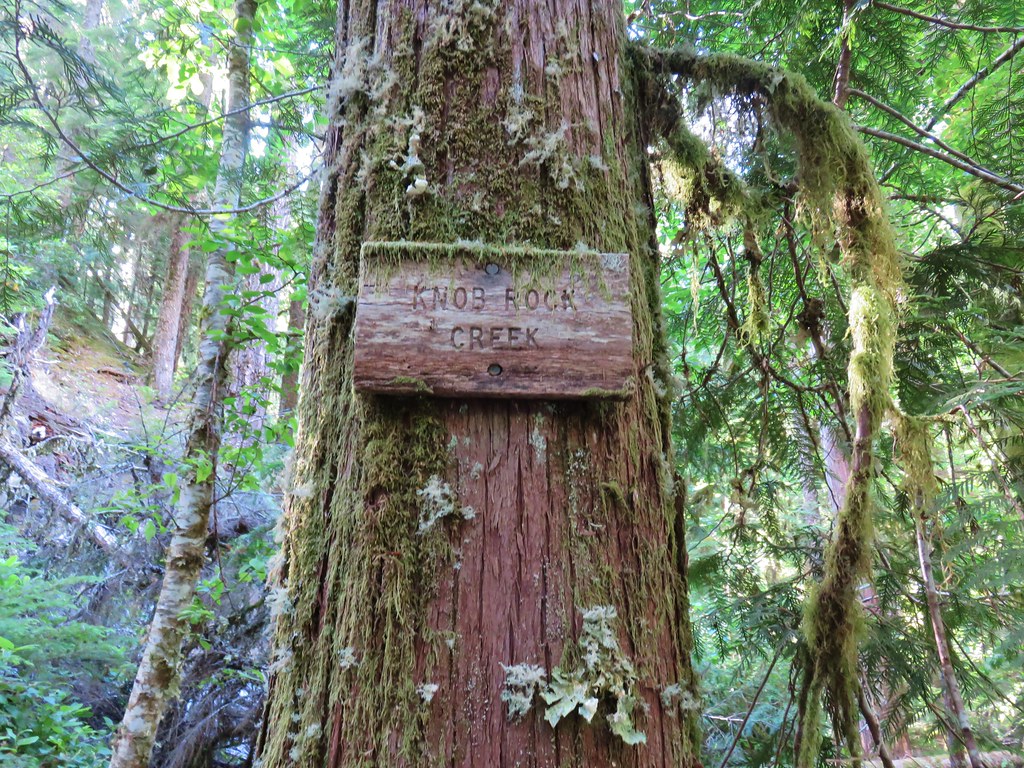
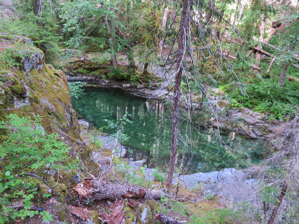
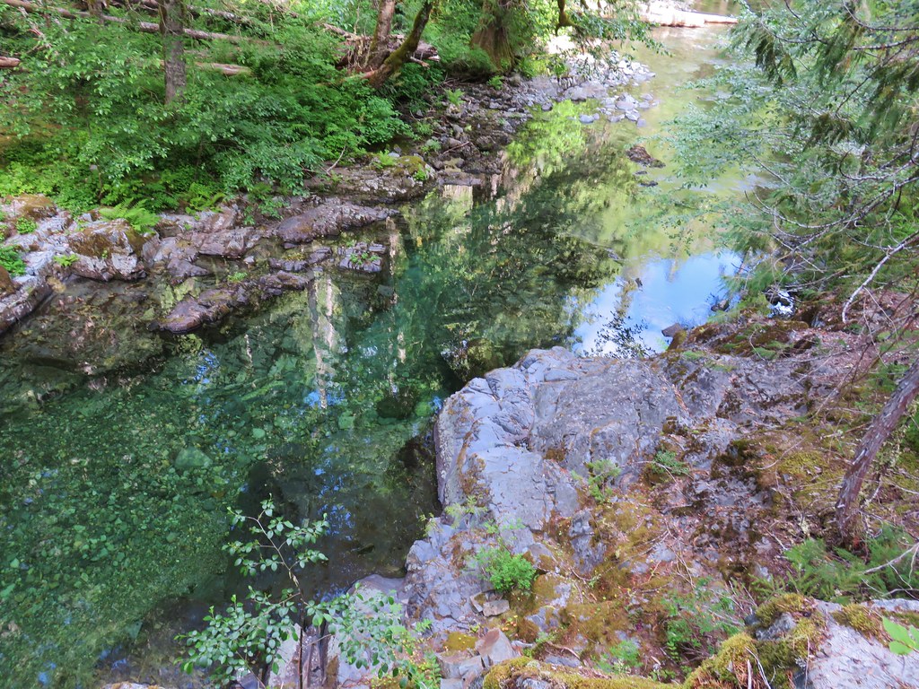
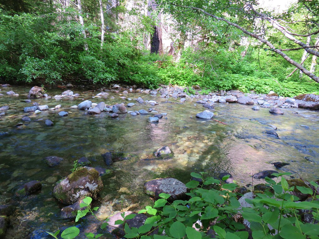
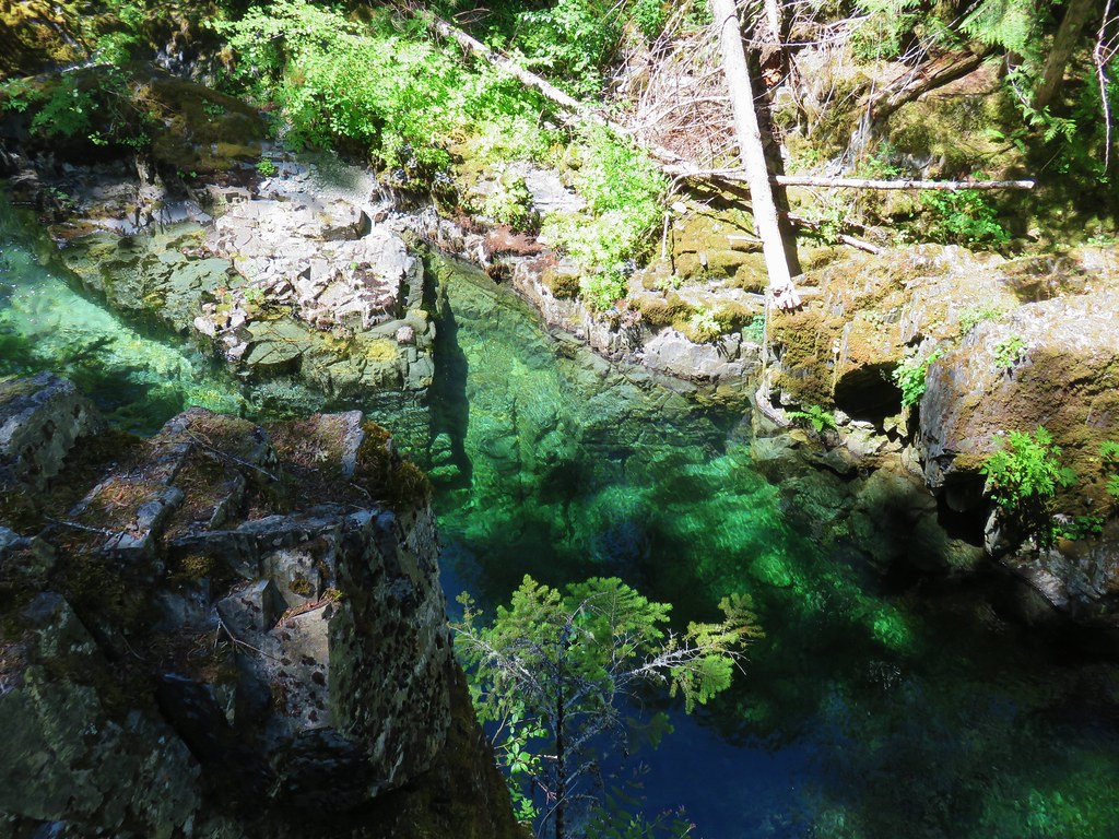
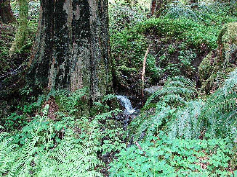
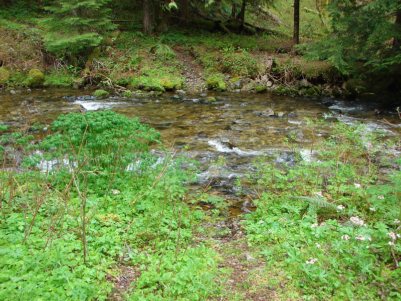
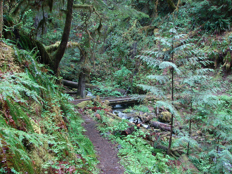
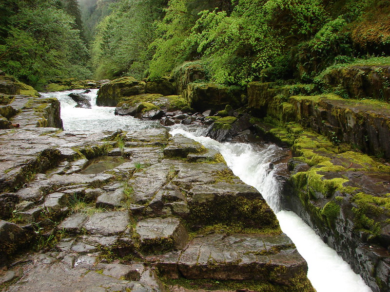
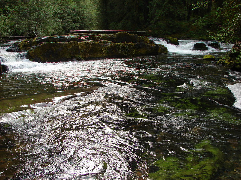
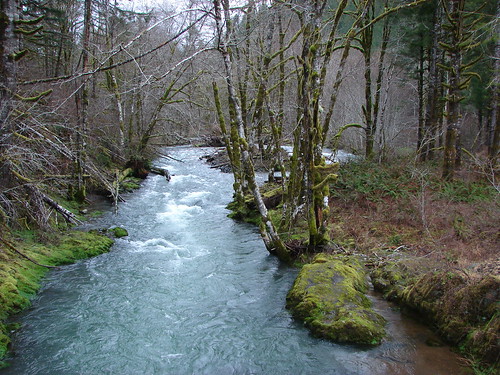
 Unnamed creek
 Back on the rocky roadbed below the 4-way.
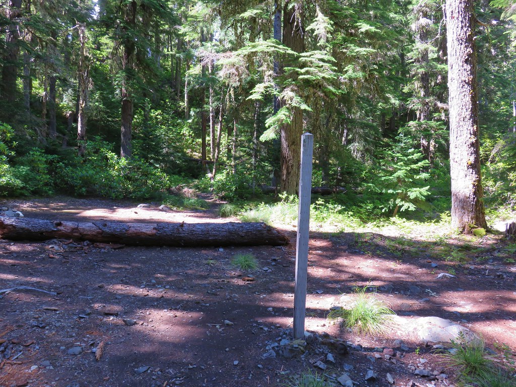
 Back at the gate and kiosk.
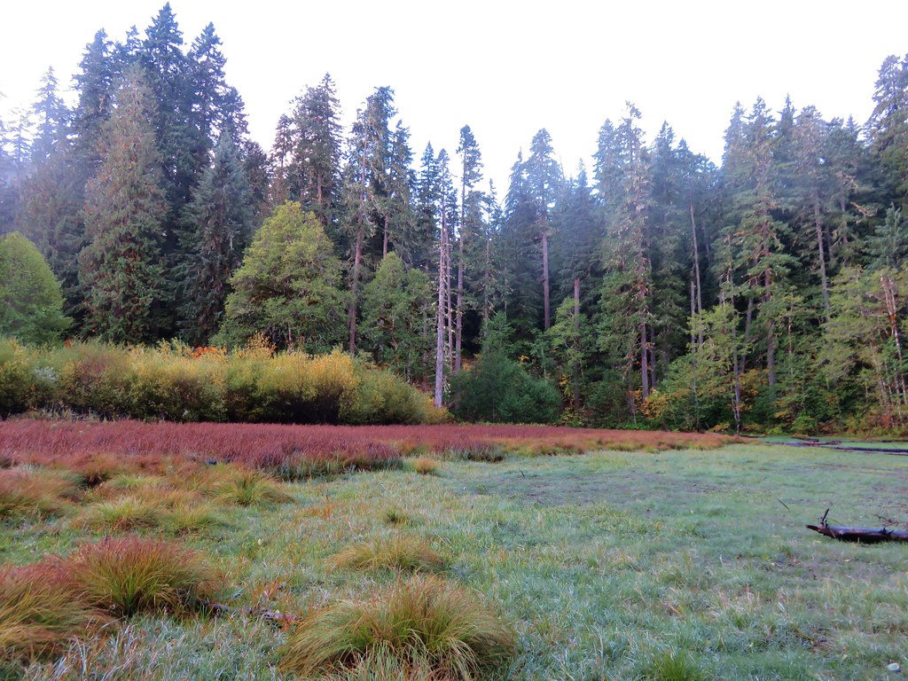
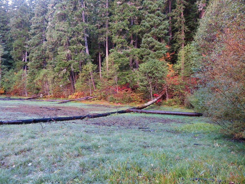
Aside from getting a little sweaty the hike was great. We didn’t see anyone else all morning and the lack of rain was a pleasant surprise. While there isn’t anything along this part of the C2C that is going to blow you away visually it was indeed a perfect rainy winters day hike. With our starting point the roundtrip hike was 7.2 miles with a little over 700′ of elevation gain.
It felt great to finally get our 2024 hiking year underway. We’re looking forward to seeing where our wanderings wind up taking us this year. Happy Trails!
Flickr: C2C Trail -Sugar Bowl Segment
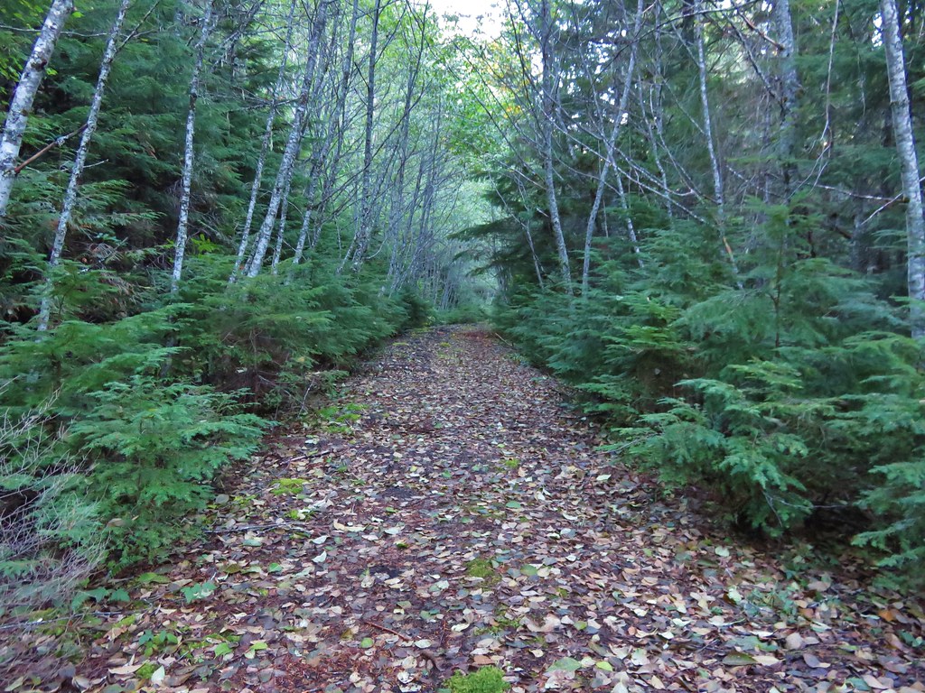
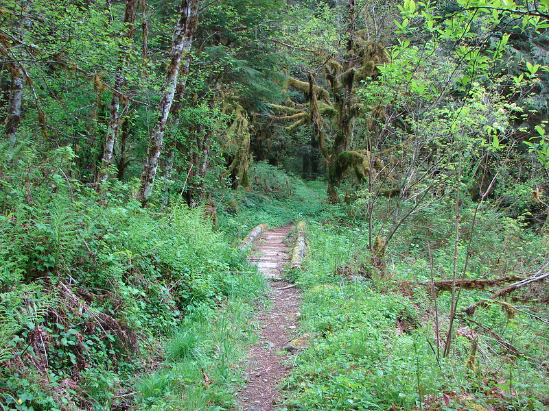
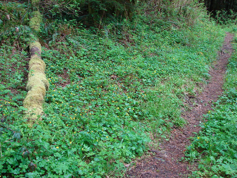
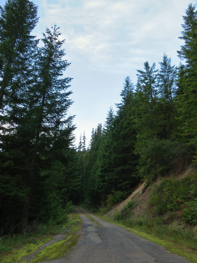 The gravel road from the junction.


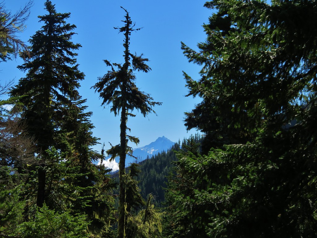
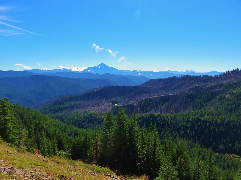
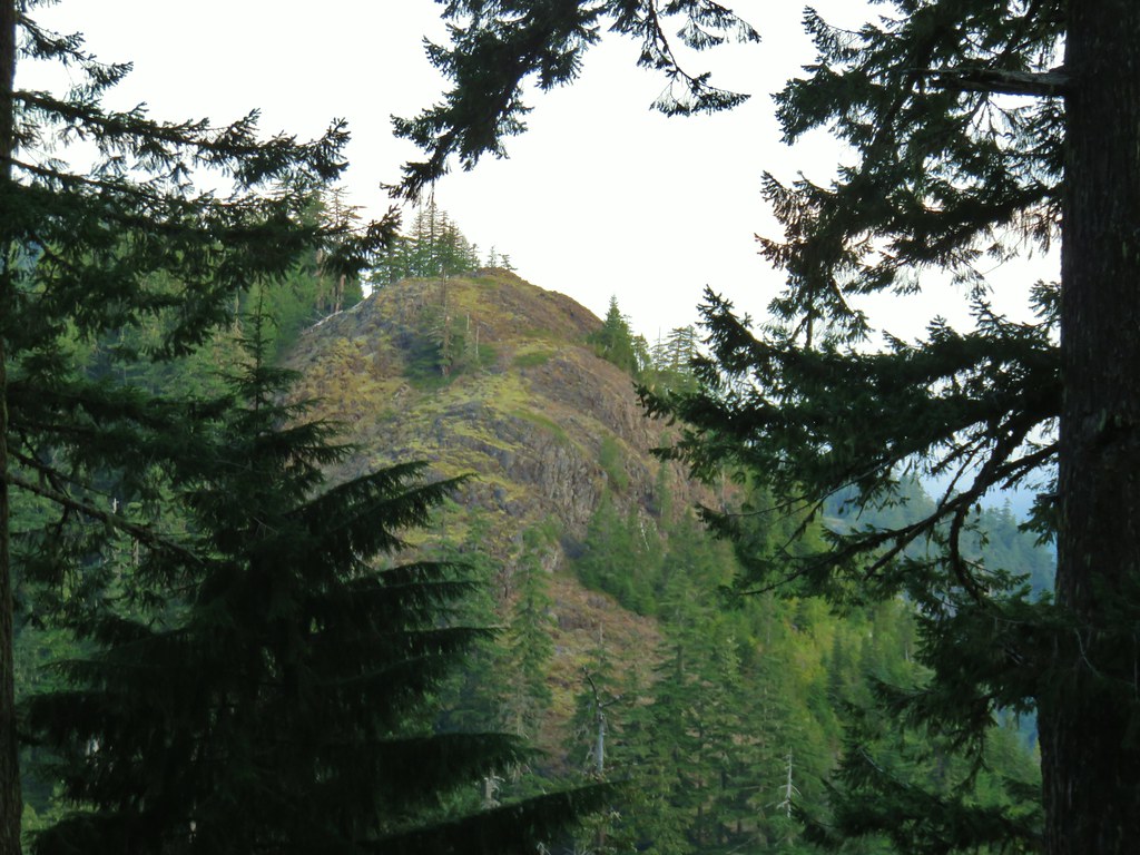
 Coming up on the viewpoint.
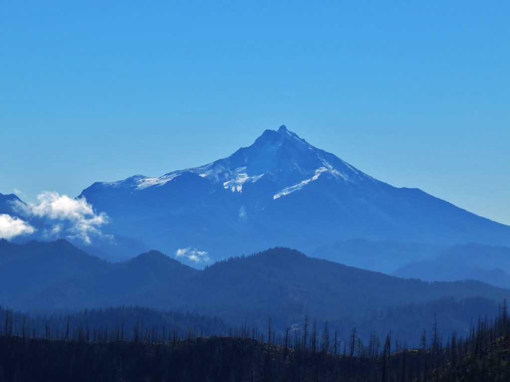
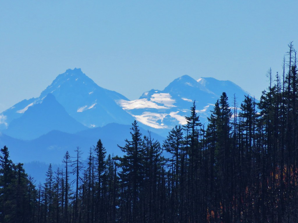
 Mt. Jefferson
 Three Fingered Jack
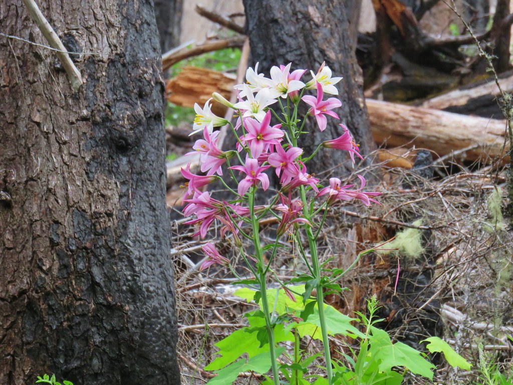
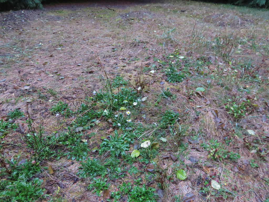
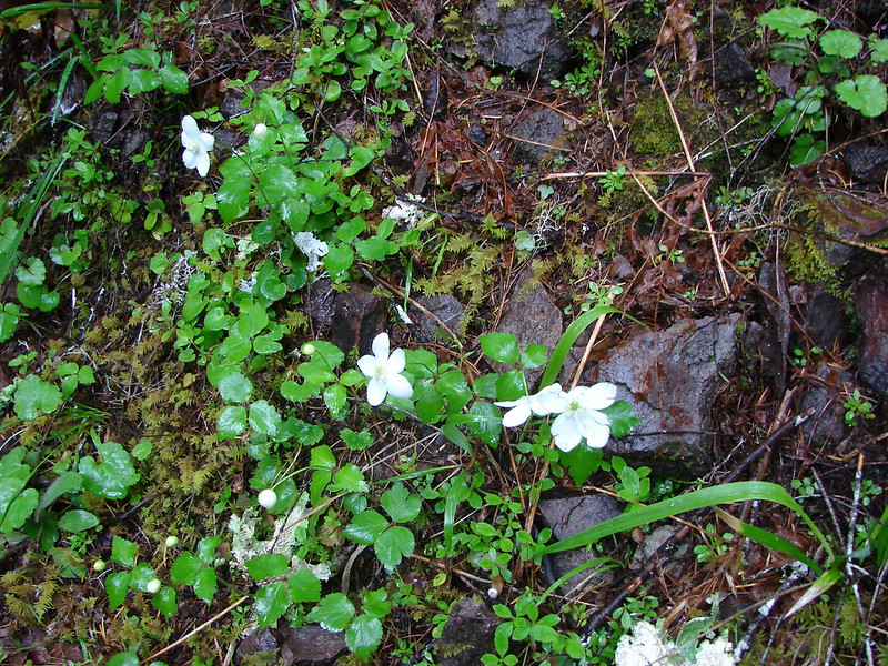
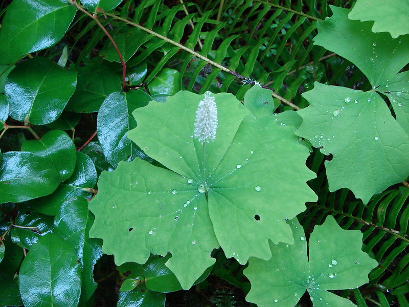
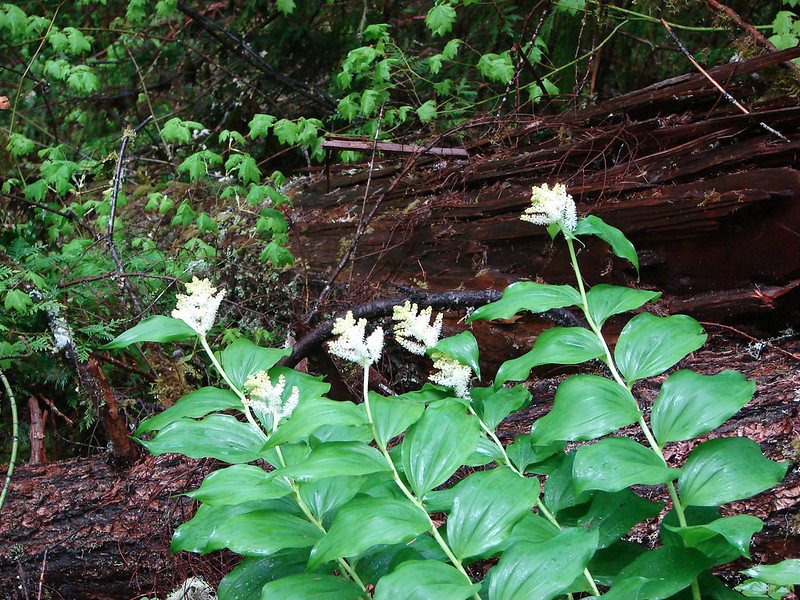
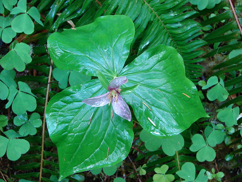
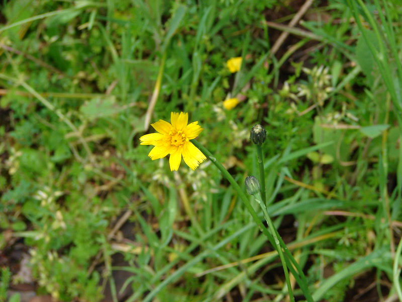
 Maybe a ragwort?
 Yarrow
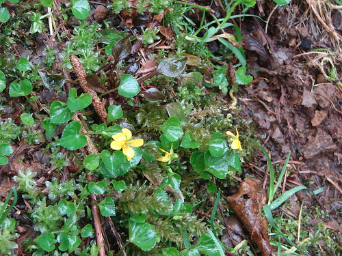
 St. John’s wort
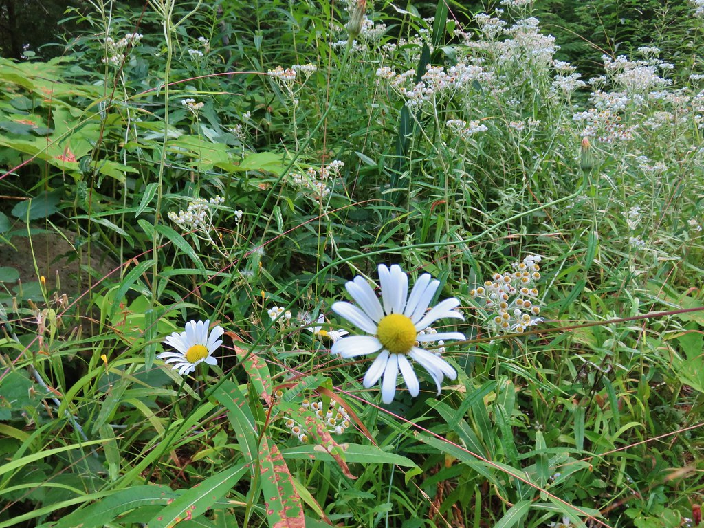 Daisy and pearly everlasting
 Beardstongue
 Fireweed
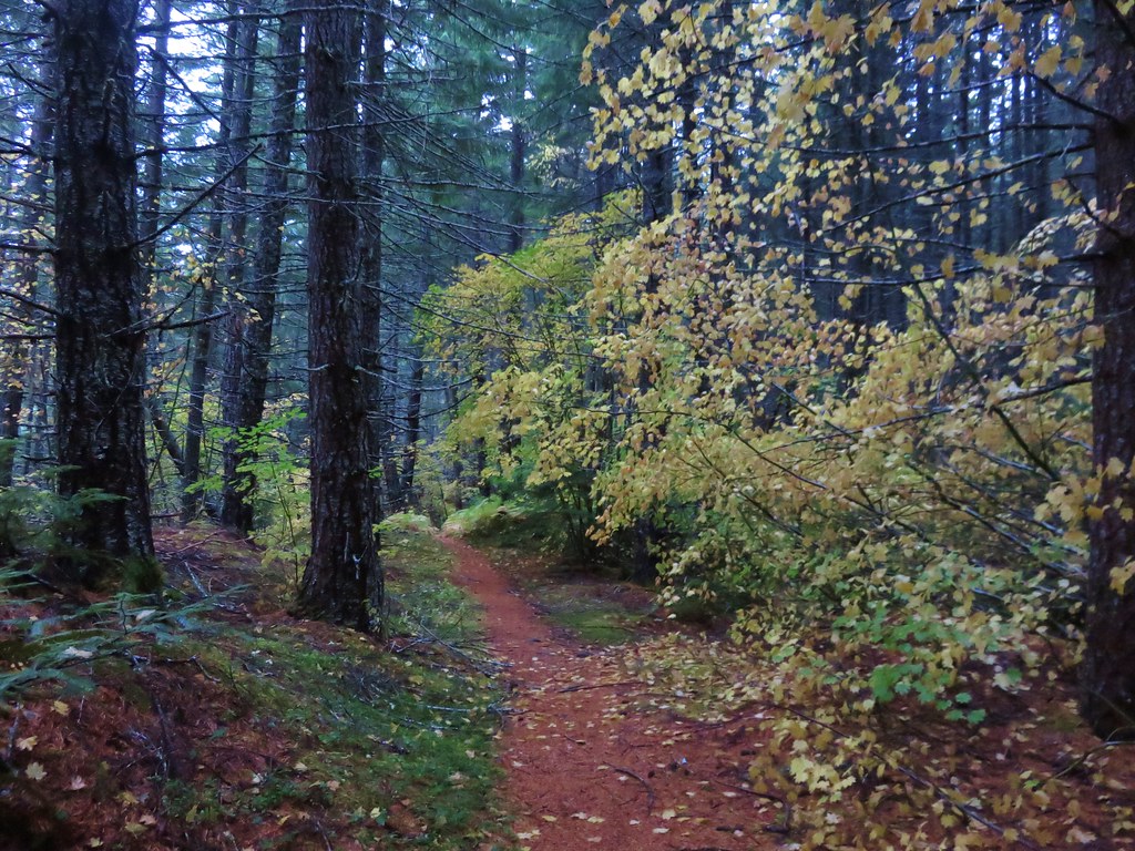
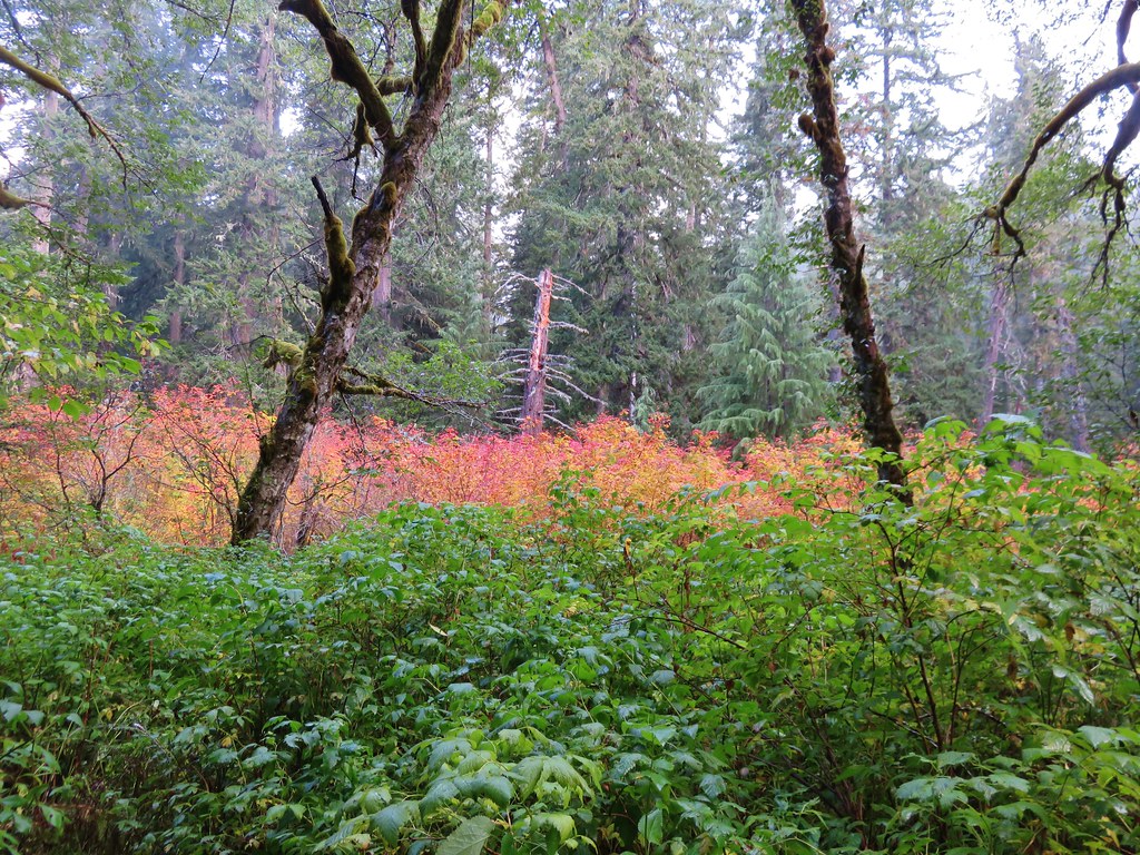
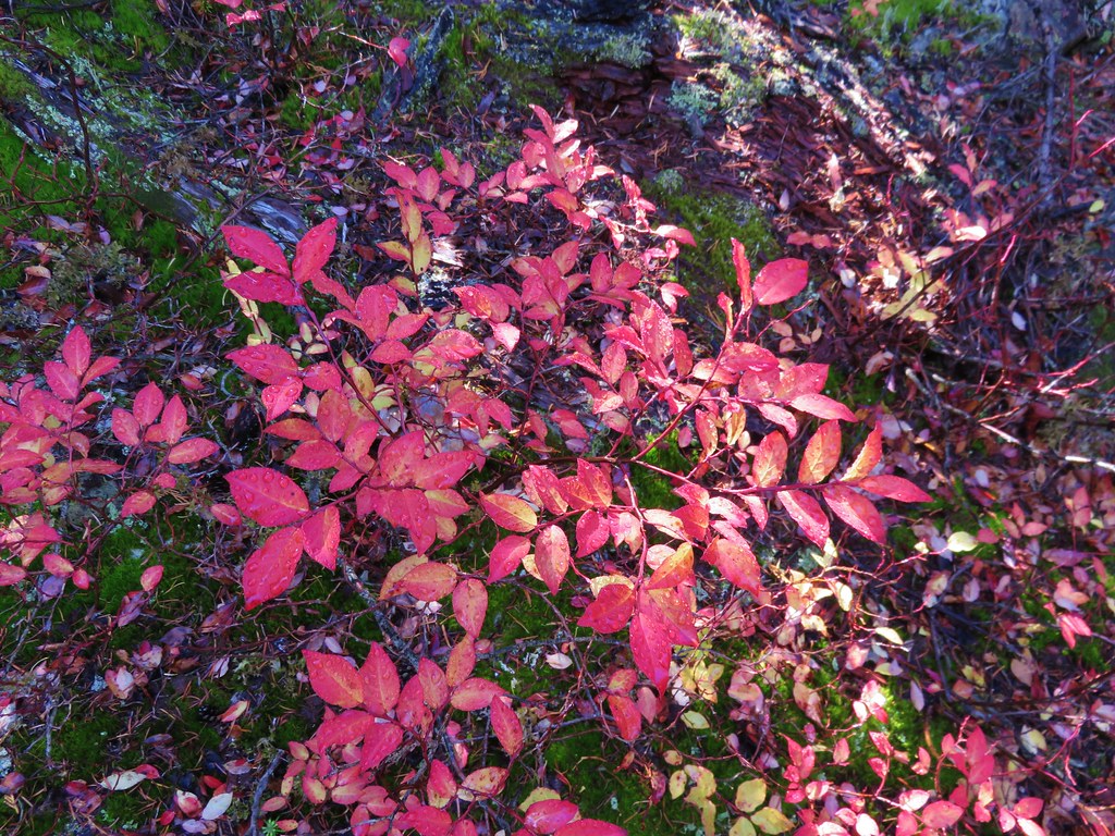
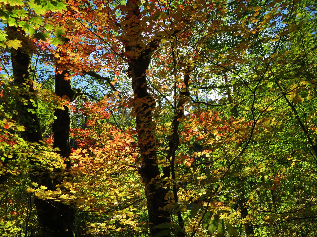
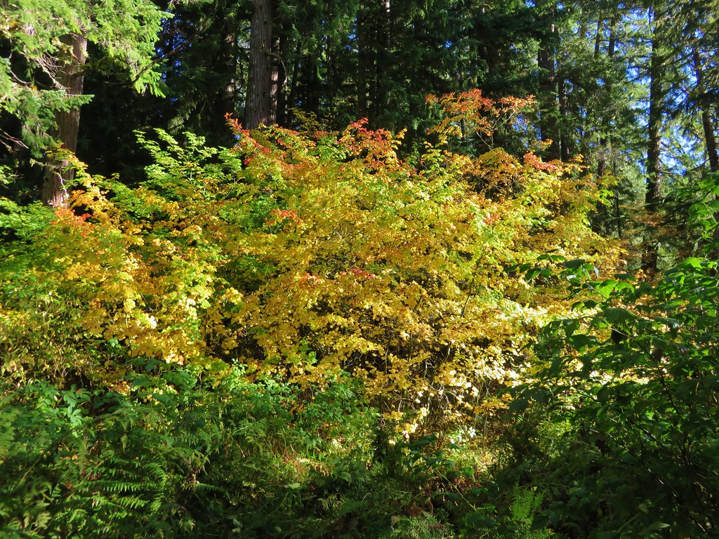
 Not a flower but colorful maple leaves.
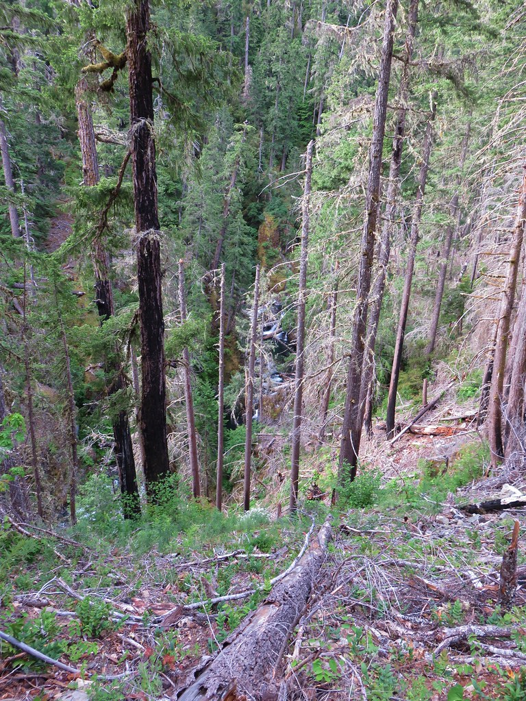
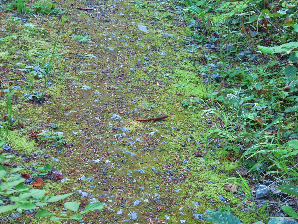 A common sight on the trail.
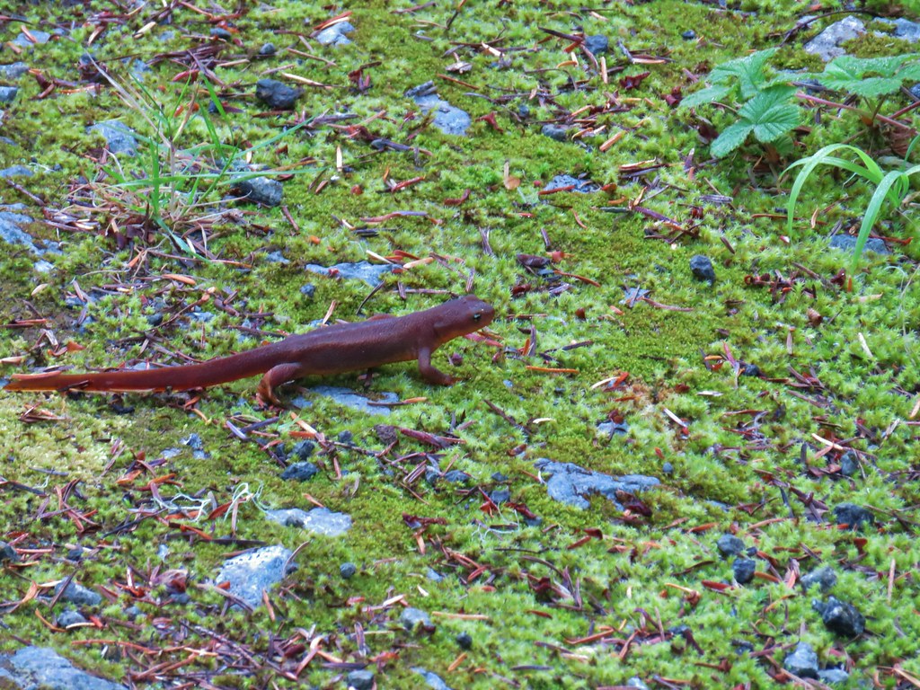 Rough skinned newt


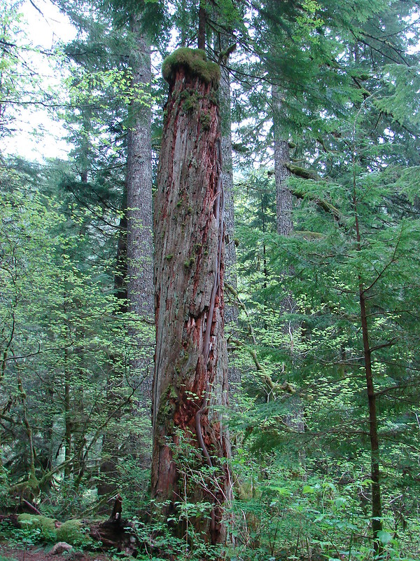
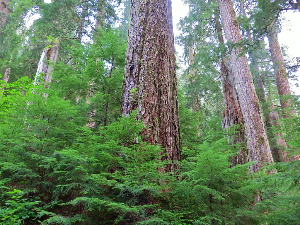
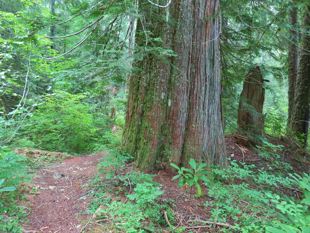 Old growth cedar
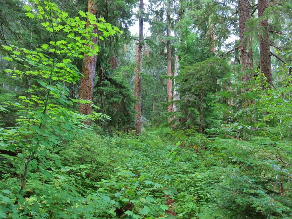


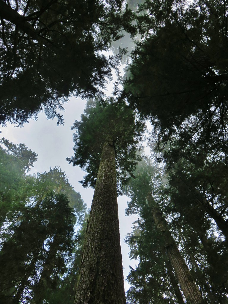
 The cedar trunk through some branches.

 Fritillary butterfly
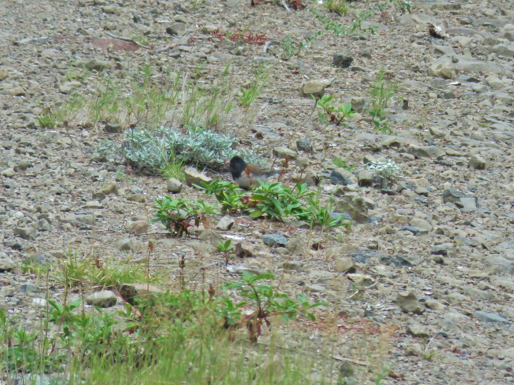 Dark eyed junco
 Bumble bee
 Back at the viewpoint.