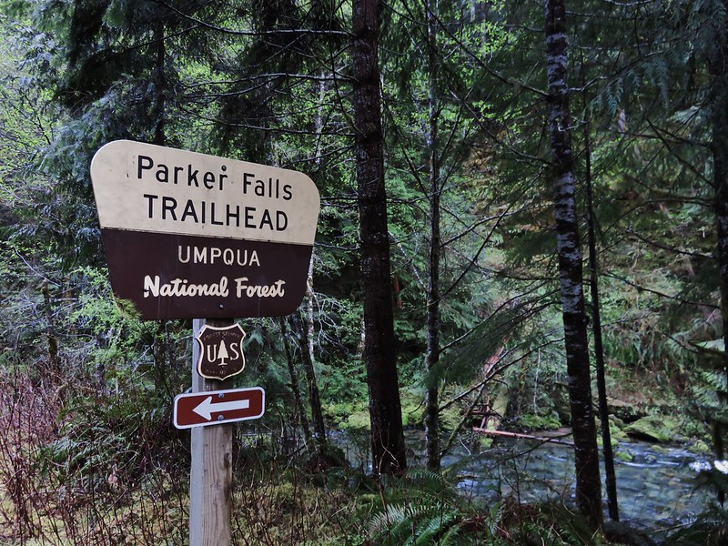
As we whittle down the list of hikes that we’ve yet to do within three hours of Salem we are beginning to work in more repeats. Aside from scenic beauty, one of the reasons we’ve marked hikes for revisits is a lack of views from viewpoints due to foggy/cloudy conditions. That was the case with the Adams Mountain Way Loop which we initially hiked on 4/23/2016 (post). On that outing we had stopped first at the nearby Parker Creek Falls before tackling the challenging loop. For this outing we chose a different nearby waterfall, Wildood Falls, to visit before hiking the loop.
Located on the Row River Wildwood Falls is a popular swimming hole that doesn’t involve a hike. There are Lane County parks on both sides of the river Lasells D County Park on the south side and Wildwood Falls on the north (Lane County Parking Pass required). We decided to visit from Wildwood Falls Park.
 Small parking area at Wildwood Falls Park.

Reminder that outdoor recreation is not without risk.

There is a little poison oak (see lower left) along the path to the falls.

Exposed rock above the falls.

Row River above the falls.

Row River below the falls.

Pool in the rocks.

Camas

Monkeyflower

Iris
We followed a short path along the river to a viewpoint before returning to the car along the road.


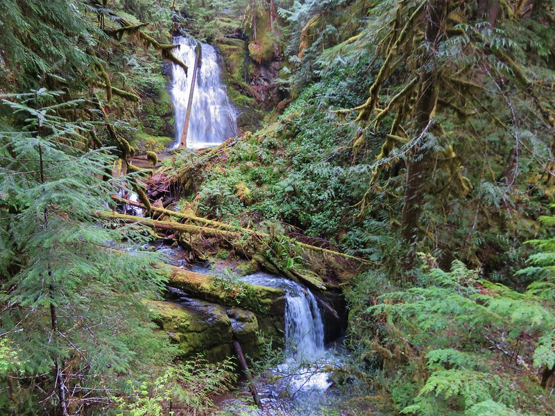
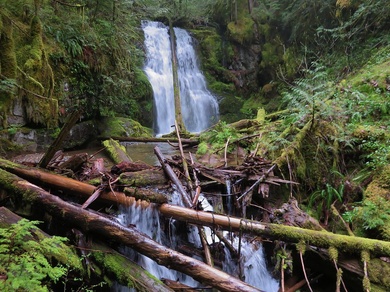
The falls were scenic, but we were happy we visited early in the morning before the area got busy. There was an unfortunate amount of litter around which gave an indication of the type of crowd the swimming hole attracts.
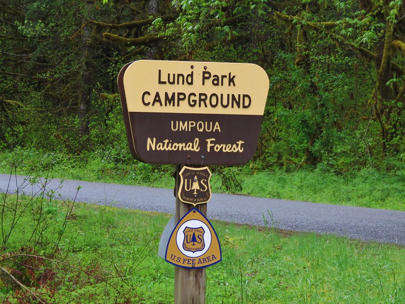
From Wildwood Park it was a 20-minute drive to Lund Park Campground

Lund Park Campground Entrance
The loop requires a 1.2-mile walk along Brice Creek Road which can be done at the beginning or end of the hike depending on the direction you chose to hike. We tend to prefer doing road walks sooner rather than later for two reasons. First road walks tend to be less exciting than the trails. The other reason is that our early start times typically mean that there is less vehicle traffic than there would be later in the day.
In this case there was a third reason to start with the road walk and do the loop counterclockwise, the climb was less steep going up the Crawfish Trail than it would be going up the Adams Mountain Trail. Of course that meant a steeper descent, so if going downhill is hard on your knees you might choose the steeper clockwise climb.
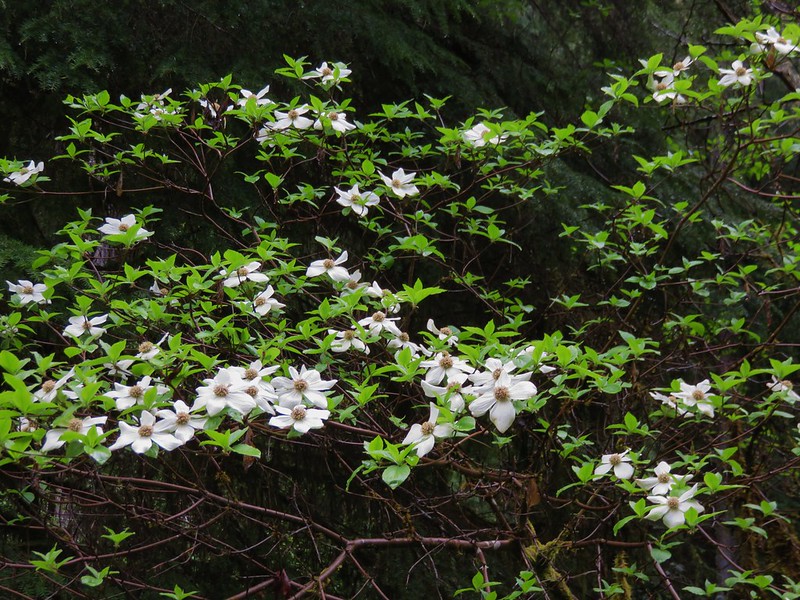
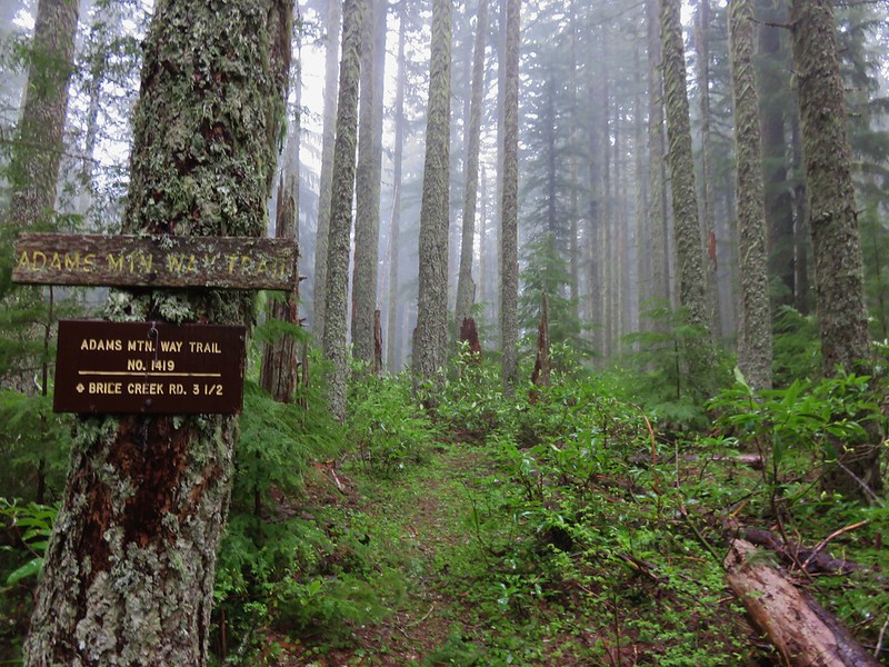
From Lund Park Campground we headed back along Brice Creek Road the way we’d driven in past the signed Merten Flume until we reached the signed Crawfish Trail (both on our left). As road walks go this one was pretty. There were quite a few flowers along the road and numerous views of Brice Creek (post).

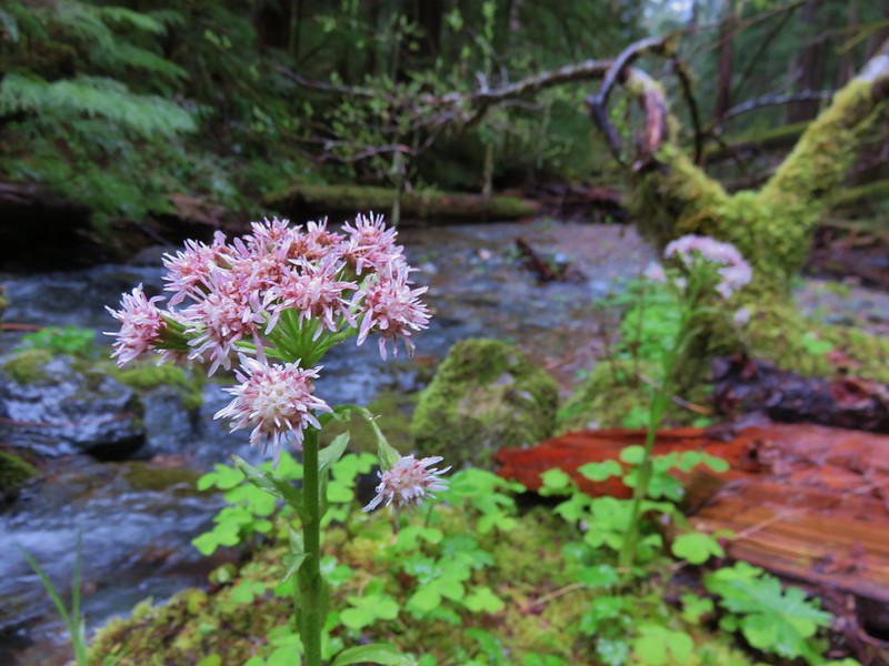
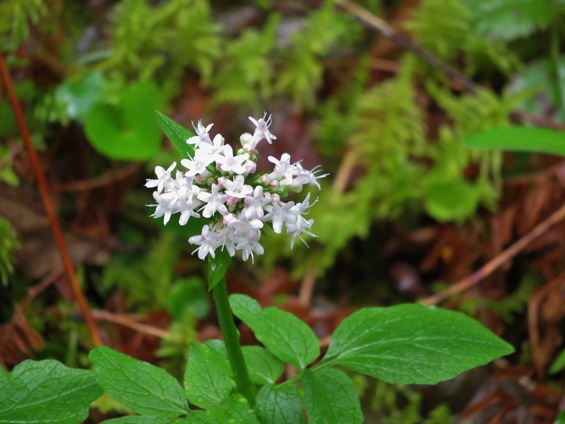
Valerian

Spotted coralroot with an inside-out-flower in the background.

Brice Creek

Larkspur

Columbine above Brice Creek

Largeleaf avens along Hobo Creek

Merten Flume Trail sign near Hobo Creek.

Anemones

Fairy lanterns.

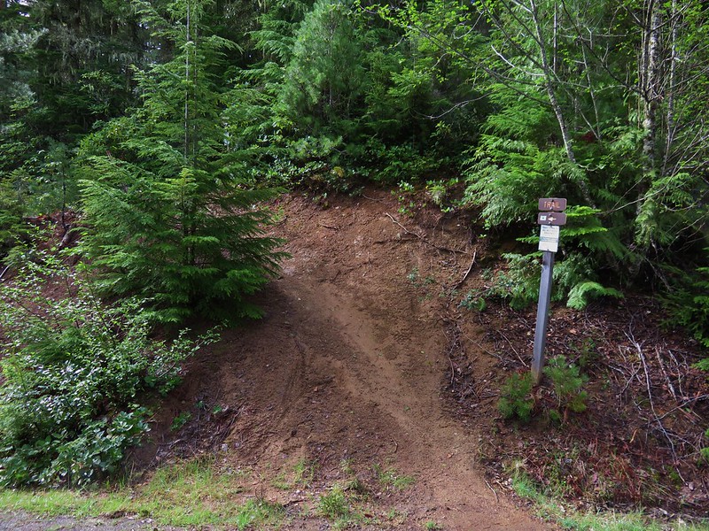
Hiker symbol for the Crawfish Trail.
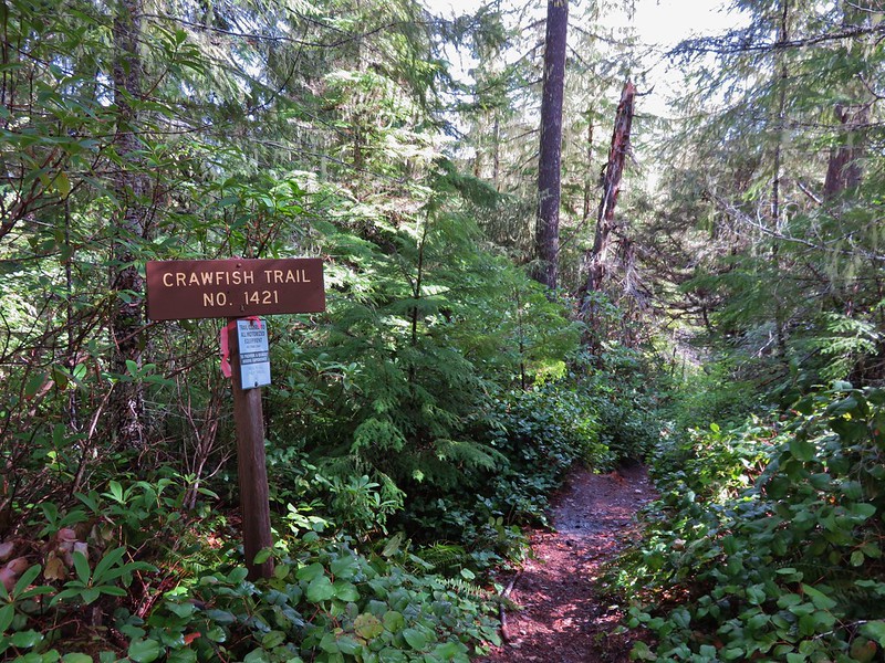
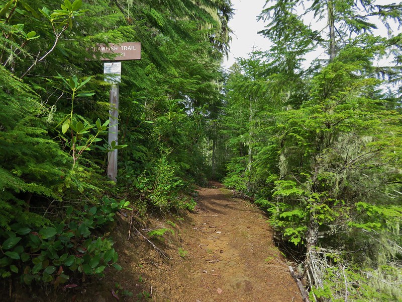
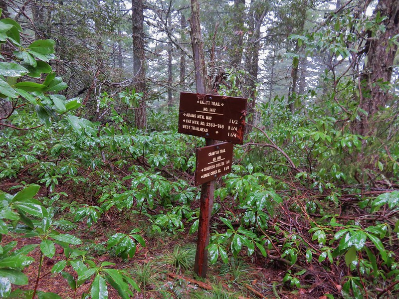
We turned uphill on the Crawfish Trail and began a 5.2-mile climb to the Knott Trail.
 We’ve found that the Forest Service seems to sometimes round milage shown on trail signs.
Be aware that the trail is used by mountain bikers as a downhill shuttle ride so there is the possibility of having a bike barreling downhill. While there was plenty of evidence of bikes on the trail we didn’t encounter any other trail users all day. The trail crosses several forest roads, but it is well signed and easy to follow.


Trail snail


Iris

Salal

One of the corners that shows you this is a mountain bike trail.

Pacific coralroot


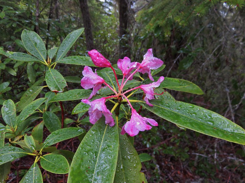
Rhododendron

Trail crossing a forest road.

Crossing an abandoned road.

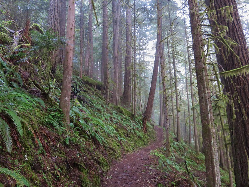
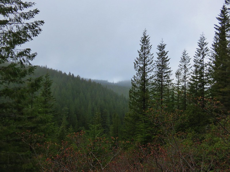
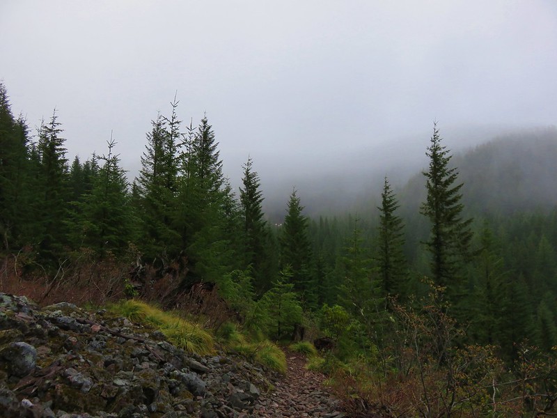
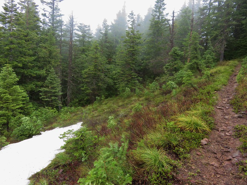
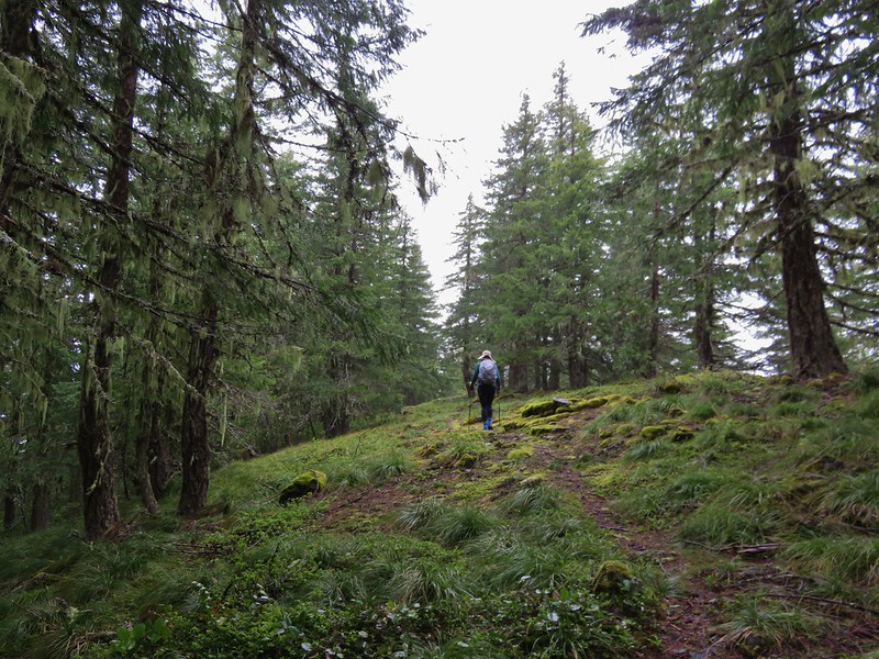
The Crawfish Trail climbed steadily, never too steeply, but it rarely leveled out.

Abandoned car along another abandoned road, so disappointing.

Forest Road 2258

Trail continuing on the far side of FR 2258


Candysticks emerging from the forest floor.

Doing the math here gives a trail length of 5.25 miles which agrees with what our GPS units showed.

A second crossing of FR 2258.
Beyond the second crossing of FR 2258 the trail showed substantially less wear from mountain bikes.


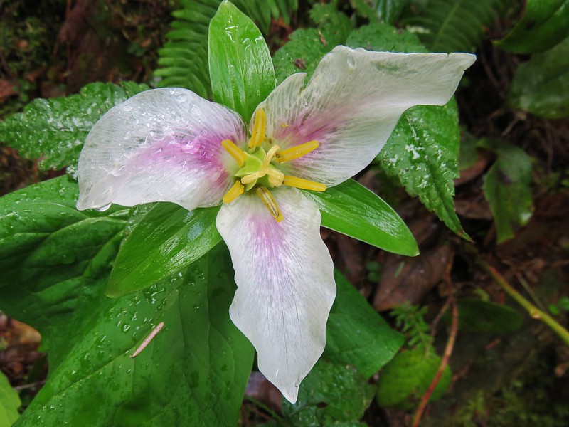
Trillium

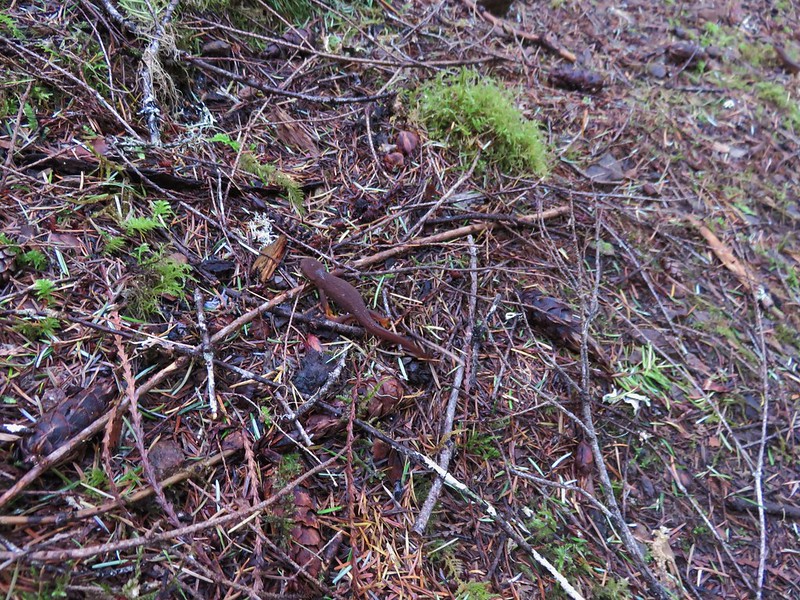
Trail slug

Trail bird (maybe a russet backed Swainson’s thrush?)

Beargrass that is going to bloom soon.

This was the first downed tree we’d come across, more evidence that this portion sees less bikers.

A rare level stretch as the trail passed over a wide saddle.

A second obstacle.

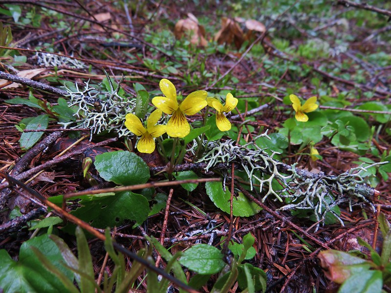
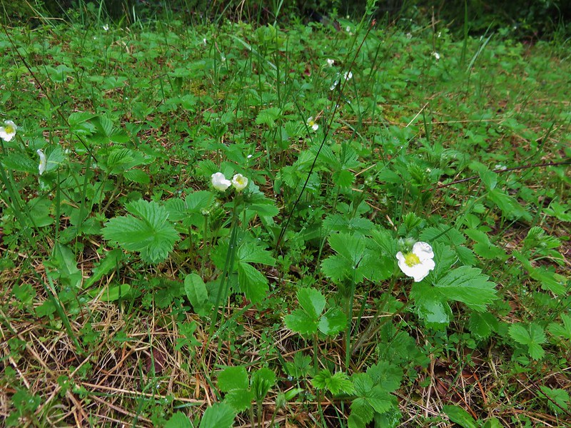
Violet

Adams Mountain from the other side of the saddle. The loop and in fact the Adams Mountain Way Trail do not actually go to the summit of Adams Mountain.

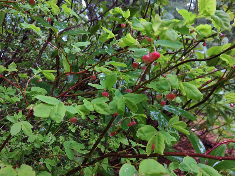
Red-flowering currant

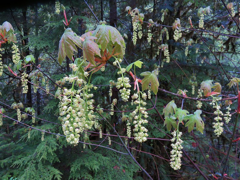
Vine maple blossoms.
 We took a break in this rocky section of trail which was the only place we could find where the mosquitoes weren’t too plentiful. The lower portion of the trail had been fine but as we climbed the mosquitoes became more plentiful. While we were taking our break we heard the distinctive “meep” of a pika “meep”, but we weren’t able to spot any.
After resting we continued the climb, quickly arriving at a crossing of Forest Road 2234.
Trail sign just before FR 2234.

The trail continuing on the other side of FR 2234.
This section of the Crawfish Trail showed virtually no sign of bike usage.


Sourgrass

Small bridge over the dry bed of Crawfish Creek.

Second small footbridge over Crawfish Creek which had a little water flowing now.

We believe this is what is left of the Crawfish Shelter.

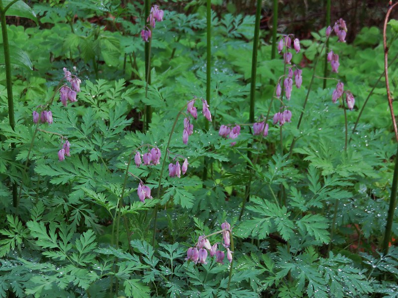
Vanilla leaf and bleeding heart.
The trail climbed steeply out of the creek drainage to a saddle to the Knott Trail junction. We were a little suprised at the extent of visible fire damage up on the ridge.

I had known that the 2024 Lane 1 Fires, which consisted of the Clark 900, Puddin, Adam Mountain, Mineral, Quartz, and Jack Saddle fires that merged and were combined as the Adam Mountain Fire along with Lane 1, had reached small portions of the Knott Trail. What I didn’t know was that the ridge the Knott Trail follows had been used to create a fire break.

Looking up the hillside to the left at the saddle. This was the direction we needed to go.

Looking right from the saddle. The Knott Trail heads up the ridge in this direction to pass over Adams Mountain before ending at FR 2234.

This was the sign at the trail junction at the saddle in 2016. There was no signage at all now.
We attempted take another break at this saddle and gather our bearings, but the mosquitoes were fierce here for some reason, so we simply began trudging straight up the fire break.


Fairview Peak and Bohemia Mountain (post).

What the hillside looked like in 2016 (sans view).

Lookout tower on Fairview Peak.

Snowy peaks in the Rogue-Umpqua Divide Wilderness to the SE.
It was sad to see the fire break on the one hand, but it had been successful as the forest on the other side was spared.

Looking across the saddle at Adams Mountain and the fire break.

Mount June (post) to the north.

Checkerspot
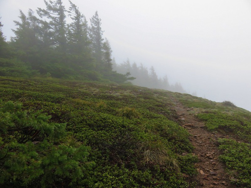
We were able to take a bit of a break at the highpoint of the trail (just over 4900′). We couldn’t tell if any of the former trail tread remained. The trail had switchbacked up and down the hillside on either side prior to the fire. We decided to just head straight down the fire break.


The very top of Diamond Peak.

Evidence of the effectiveness of the fire break.

Elephant Peak in the center with North Fairview Mountain, and Fairview Peaks to the right.

Flagging for the Knott Trail. The trail heading into the unburned trees here was obvious, but it hadn’t been so higher up. From here the fire break followed the old trail alignment for a short distance.

This road was not here in 2016 but was instead part of the Knott Trail. The trail (now road) heads toward spur off FR 2234 which they must have used to create this extension to bring in the equipment in to build the fire break.

The fire break continuing straight downhill from the road extension.
We opted to continue down the fire break instead of following the former trail alignment.

The Knott Trail emerging from the forest to cross the fire break. Had we followed the new road extension this is where we theoretically would have come out.

The Knott Trail on the other side of the fire break entering burned forest.
After a descent of a little over 3/4 of a mile we arrived at another saddle where we began looking for the Adams Mountain Way Trail junction

Here again the trail signs were gone, but there was some orange flagging on a pile of slash marking the location of the Adams Mountain Way Trail.

The tread was faint on the far side of the slash, and there had been no apparent effort to clear a path to it. We scrambled over the debris and picked up the trail.

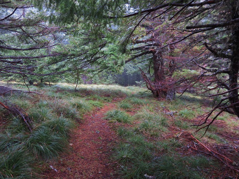
The Adams Mountain Way Trail.

Looking back toward the fire break.
The tread quickly improved and for 3/4 of a mile we followed a ridge up and down and then it grew increasingly steep, eventually reaching a junction with the Marten Flume Trail after 3.3-miles.


The trail climbed briefly to pass through this small beargrass meadow along the ridge. It didn’t appear any would be blooming this year.


Elephant Mountain peaking up from behind a ridge.

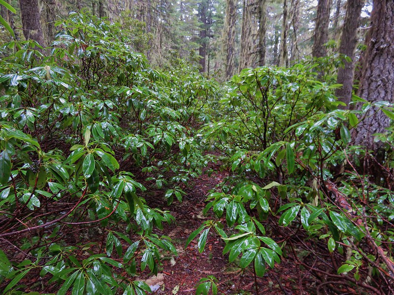
Rhododendron

One of only a handful of lupine we saw. This was the closest to blooming of any of them.

Beargrass with some blossoms and an insect.

We paused at this unsigned trail on the left. It appears to be a use trail down to nearby FR 2258 based on maps.

This was the first time we’ve run across a white rhododendron in the wild.

Starflower

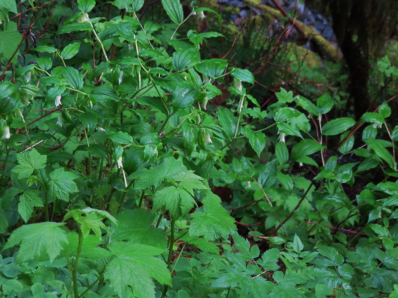
Northwestern twayblade

Abandoned road crossing.

By this point this snail may have been moving faster than we were.

Vanilla leaf

Still a long way down.

Oregon grape

This was the second “use road” sign we’d seen which seemed misleading. We usually see wording along the lines of “trail crosses road”.


Narrow section of the ridge.

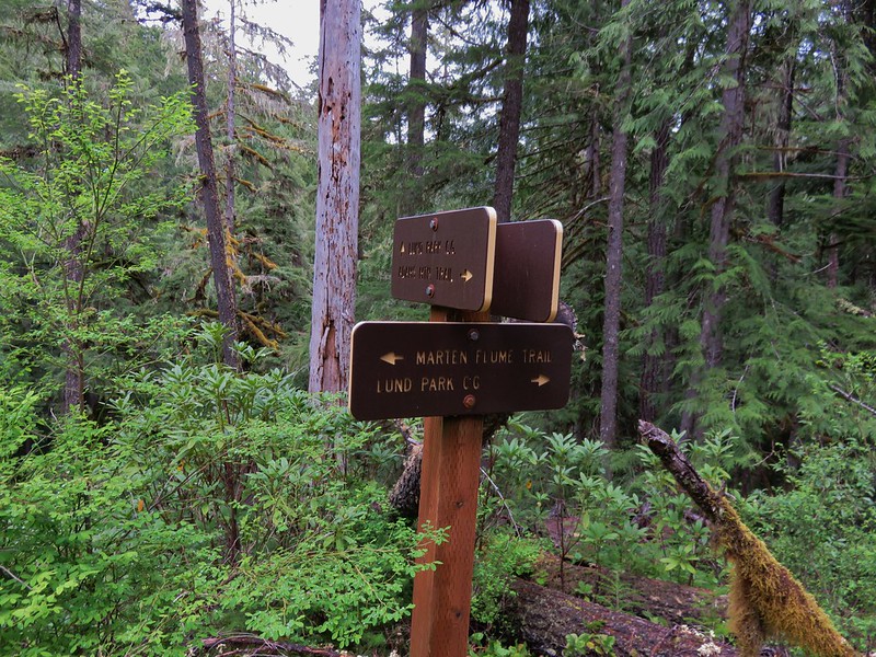
Marten Flume Trail junction.
For some reason I completely forgot that we’d used the Marten Flume Trail to get back to Brice Creek Road in 2016 so instead of simply continuing down the Adams Mountain Way Trail I turned onto the Marten Flume Trail again. (Heather had decided to skip this slightly longer detour regardless of whether or not we’d hiked it before.) This trail was quite overgrown but after a short detour past the correct trail I was able to complete the short loop and wound up arriving at Brice Creek Road just as Heather was arriving at the car. (The car and Lund Park CG is visible from the Marten Flume Trail.
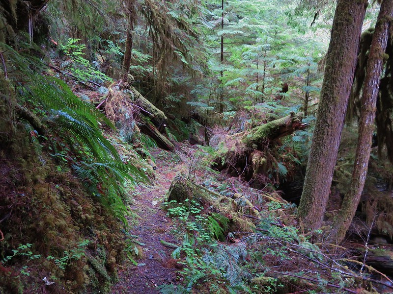
 Rough tread on the Marten Flume Trail.

I should have veered right here. The original trail continued further upstream but is now overgrown and covered in downed trees.

It was about here that I realized I should have gone right.

Steep drop down to Hobo Creek.

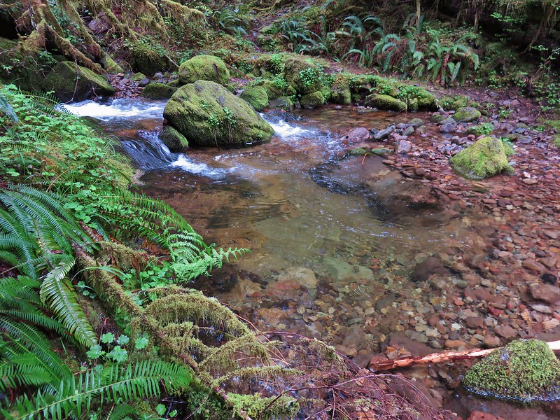
Hobo Creek crossing.

New trail alignment heading uphill from Hobo Creek.


Steps cut into a downed tree.

Hobo Creek

Popping out onto Brice Creek Road.

Heather’s view of Brice Creek Road from the Adams Mountain Way Trail.

Heather could also see the entrance to the Lund Park Campground when she popped out onto Brice Creek Road.
My loop came to 11.5-miles with 3200+ of elevation gain. Heather saved three or four tenths of a mile by skipping the Marten Flume Trail.
 Dotted line is the current loop. Green is our track from 2016 and red is a part of our Brice Creek Hike in 2014.
It was nice to be able to re-hike this loop and get the views we missed on our first visit, and it was interesting to see the fire break up close. This is a challenging hike that lacks any big wow moments other than “Wow this is steep!”, but the forest is nice and the trails, at least on both our visits, aren’t busy. If nothing else, it offers a good early season training hike. Happy Trails!