**Note the 2024 Adam Mountain Fire burned over a very small portion of the Knott Trail and a fire break was created that extends along the ridge between the Crawfish and Adams Mountain Way Trails.**
Our 2016 hiking season officially started with a pair of hikes in the Umpqua National Forest. Both trailheads are located along Brice Creek, SE of Cottage Grove, OR. We had visited the area in 2014 to hike the more popular Brice Creek and Trestle Falls Trails https://wanderingyuncks.wordpress.com/2014/05/09/brice-creek-trestle-falls/ and were back now to tackle some of the other nearby trails.
We began the day at the Parker Falls Trailhead which is 2.3 miles beyond the Upper Brice Creek/Trestle Falls Trailhead.
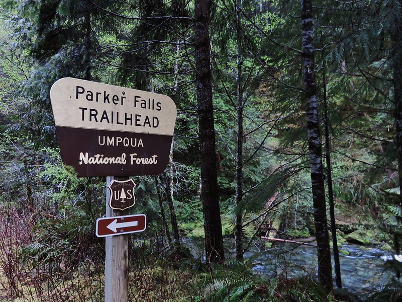
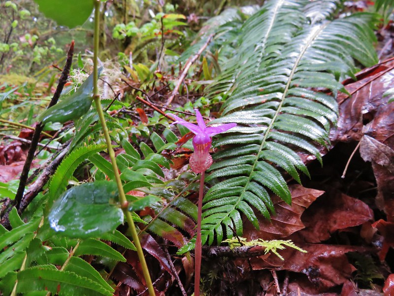
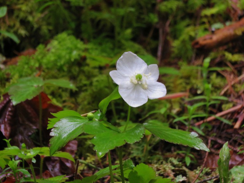
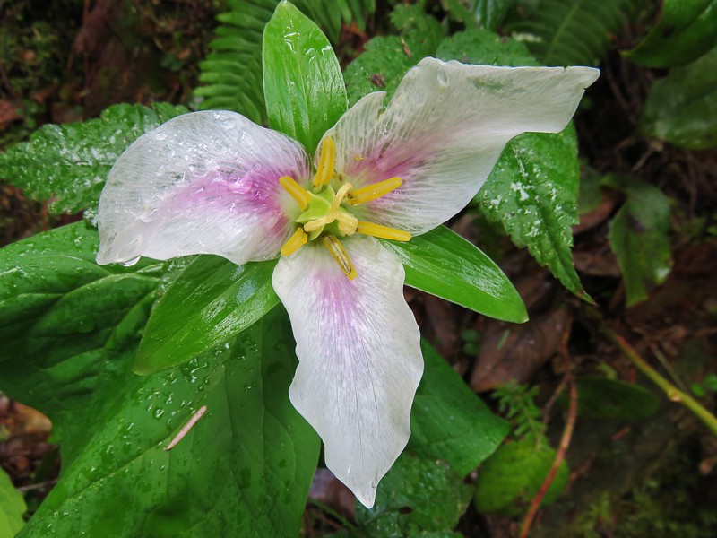
The trail runs along Parker Creek up to Lower Parker Falls and finally Upper Parker Falls. Spring wildflowers lined the trail.
Fawn lillies

Fairy slipper
Anemone
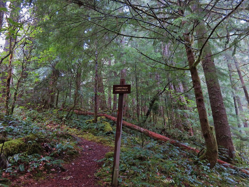
At a signed junction we took a short path down to Lower Parker Falls.
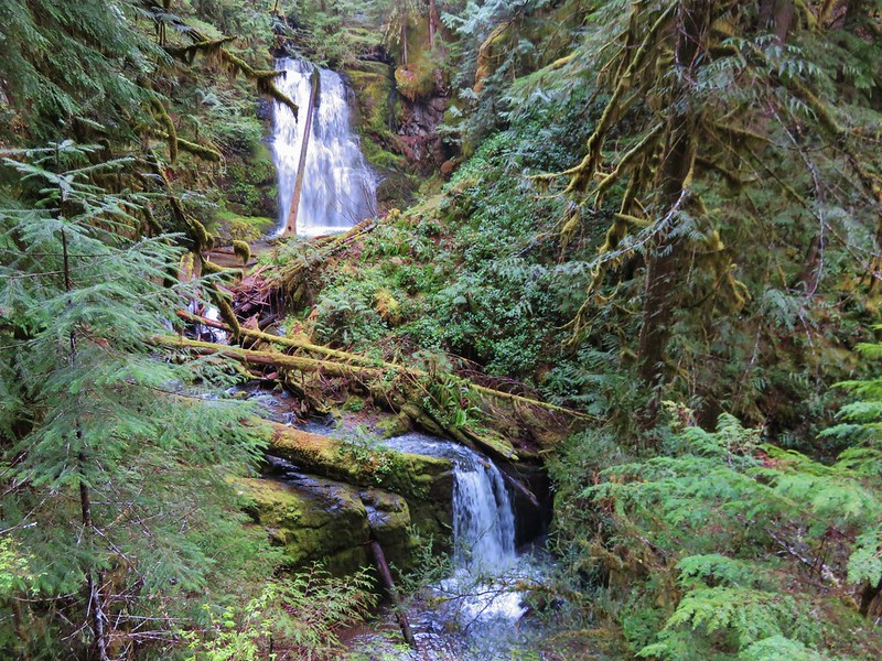
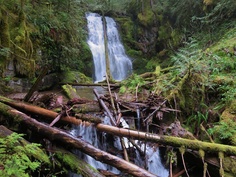
After admiring the lower falls we went back to the junction and headed for the upper falls. The upper falls were more of a slide and the trail stayed up along the canyon wall above them.

We were not entirely certain that this was indeed the upper falls as the trail continued on so we kept going. It led to the creek bank above the upper falls. At this point I checked our GPS and it appeared that the trail should have continued a short distance up the creek. There was a faint path leading further but it quickly vanished beneath debris that had fallen into the canyon. We were only able to go a short distance before facing the choice of getting wet or turning back. I decided to hop into the creek and continue. I had gone about a hundred yards when I came to a small slide in a narrow mossy drop.


I was on a small gravel bar inhabited by some coltsfoot.
I could see a little way upstream and saw no signs of any additional falls and didn’t see an easy way past the small cascade ahead so I headed back to Heather and we returned to the car. We decided that Upper Parker Falls must indeed have been the slide we had passed before reaching the creek (That was confirmed by waterfallsnorthwest.com).
The signed mileage is 1/2mi to the lower falls and 3/4 to the upper falls while the Forest Service website lists it as 1.1 miles. Our GPS registered a round trip of 2.4 miles which, given my short excursion up the creek, makes the 1.1 miles more likely.
From the Parker Falls Trailhead we drove back the way we’d come to Lund Park which was about 10 minutes away.
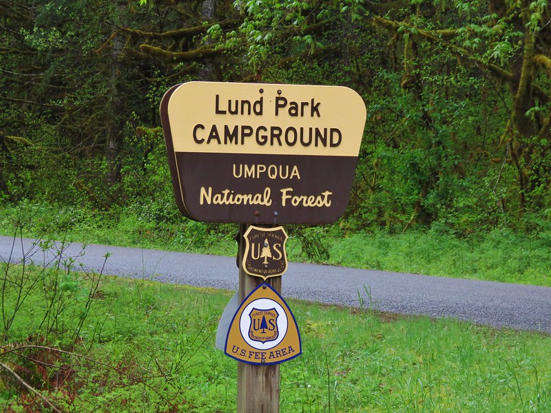
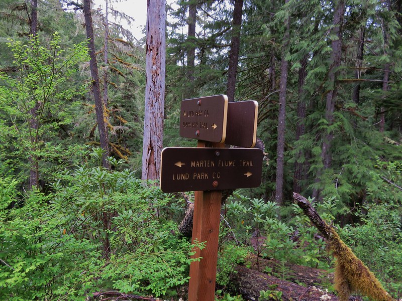
Our loop hike started here and we faced a choice. We could begin on any one of three trails- Adams Mountain Way, Marten Flume, or the Crawfish Trail. The Adams Mountain Way Trail started on the opposite side of Brice Creek Road just east of Lund Park while the Marten Flume Trail started just west of Lund Park and connected to Adams Mountain Way after .6 miles. The Crawfish Trail was 1.2 miles further west along Brice Creek Road meaning we would either start or end our hike with a road walk. We decided to start with the road walk thinking we were less likely to run into traffic since it was still before 9am and a road walk at the end of a hike is never very exciting.
As road walks go this one wasn’t too bad passing Hobo Creek on the left and having Brice Creek off to our right.

Brice Creek

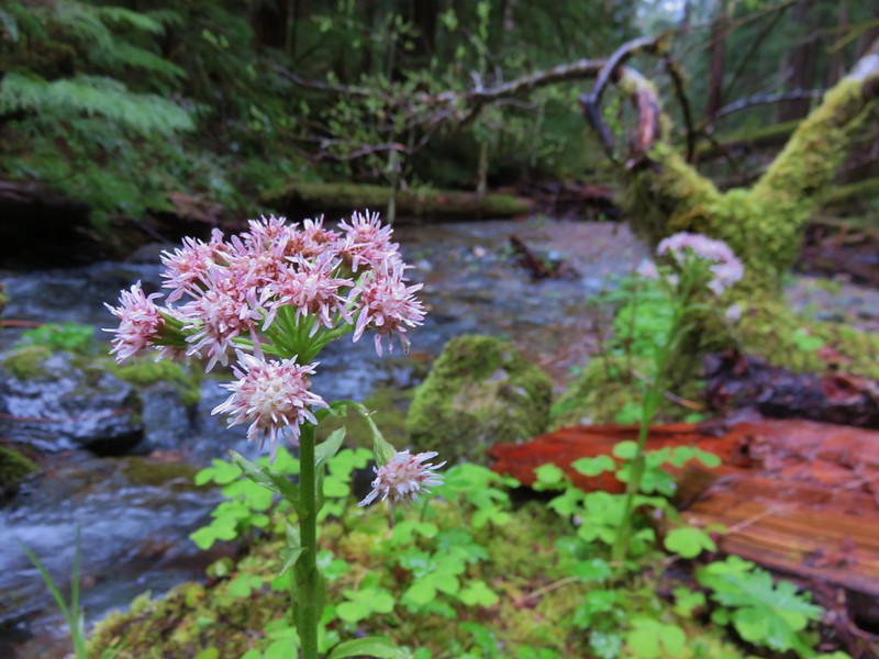
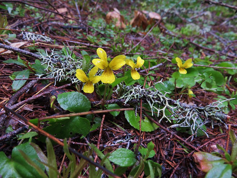
There were also plenty of wildflowers along the way.
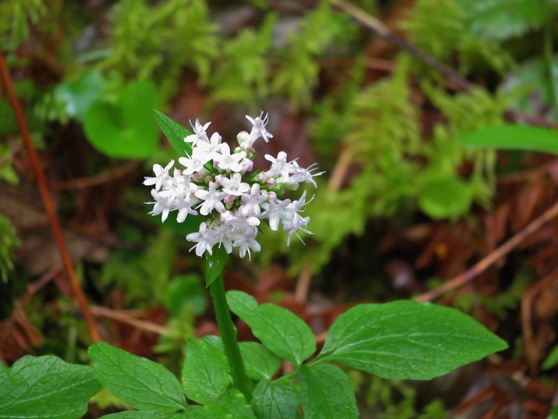
Valerian
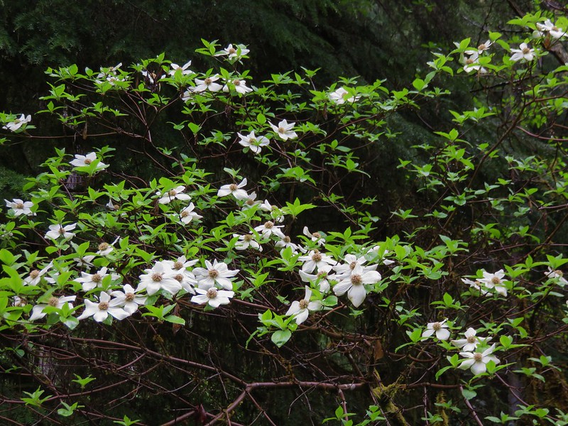
Dogwood
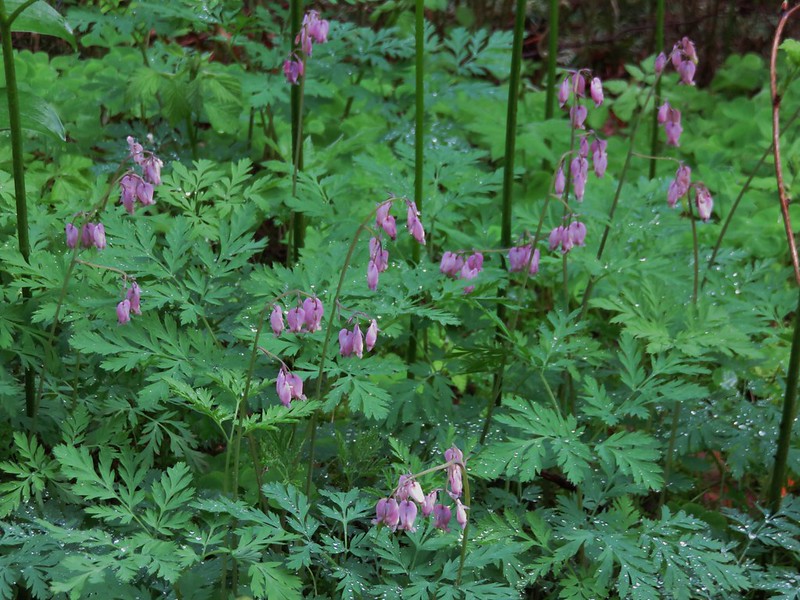
Bleeding heart
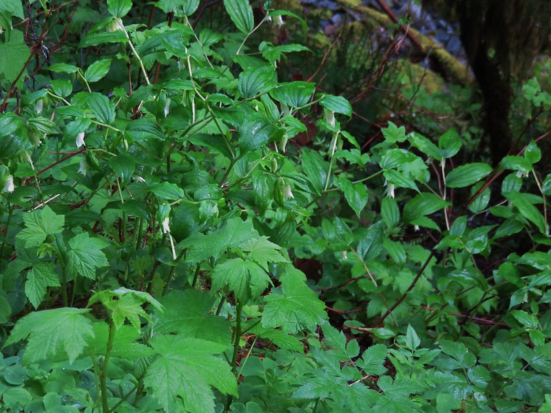
Fairybells
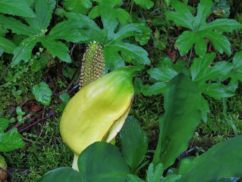
Skunk cabbage
Red flowering currant
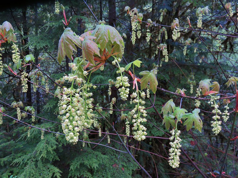
Big leaf maple
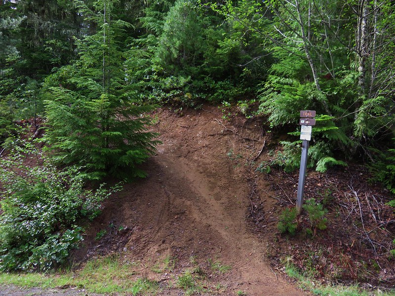
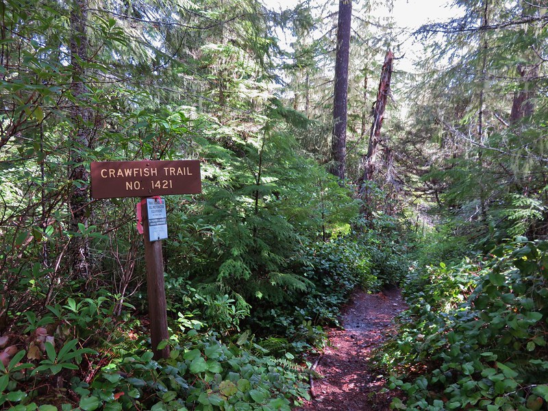
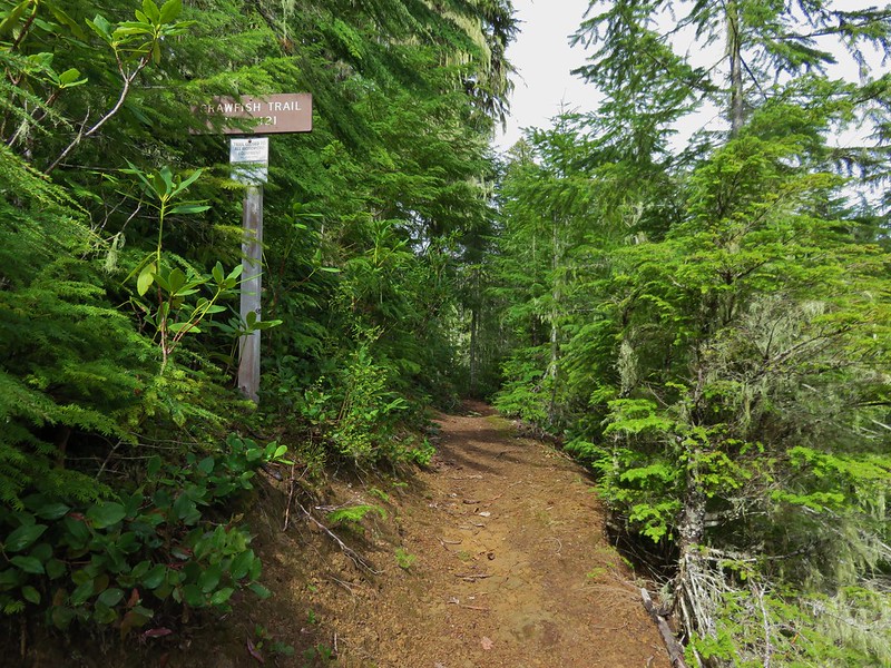
We made it to the Crawfish Trail without encountering any vehicles and began a 5.5 mile climb to the Knott Trail.

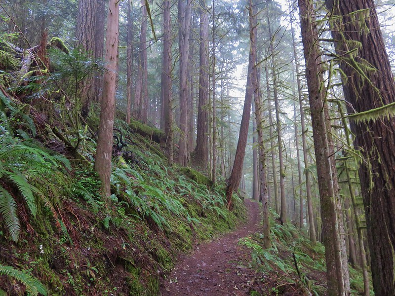
It was obvious that the lower portion of the Crawfish Trail is popular with mountain bikers as there were more tire tracks than footprints along the way. It probably is not a trail one would want to hike when bikes were barreling down the trail at you, but we were early enough in the day and season to not encounter anyone; hiker or bicyclist.
The trail was well signed along the way as it crossed a couple of roads (or the same road multiple times).
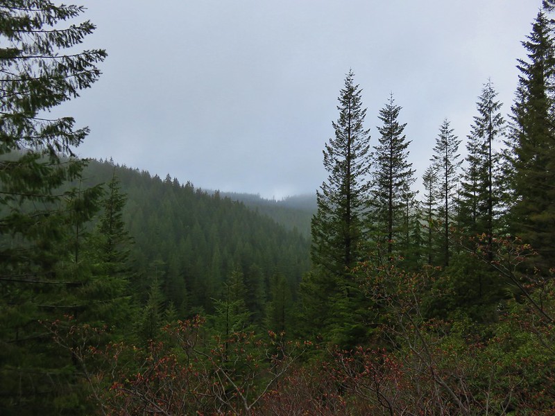
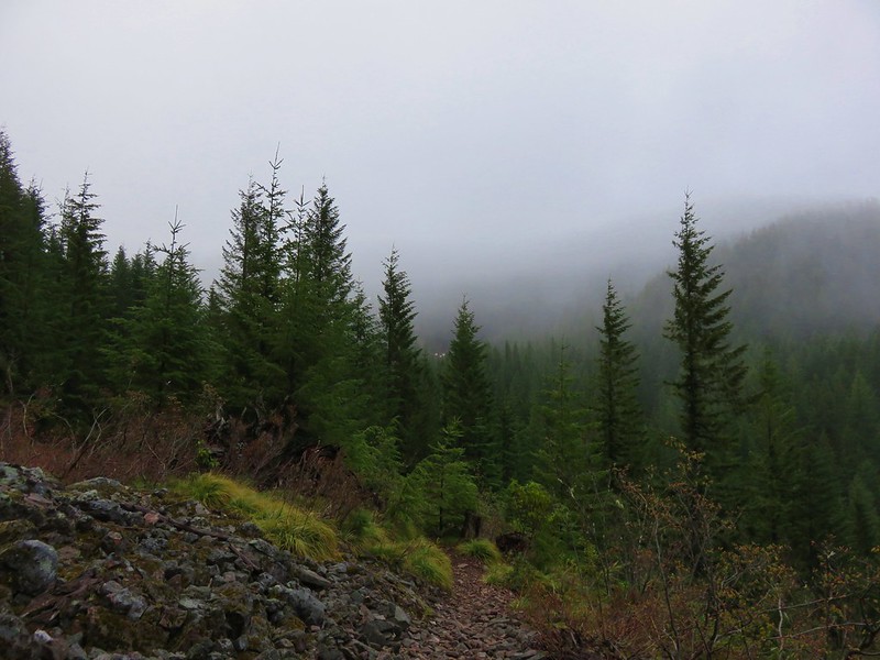
There weren’t many places along the trail with opportunities for views but when the trail passed over a saddle to the SW side of a ridge there would have been some if not for the low clouds that were present.
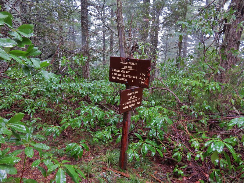
Things got a little confusing when we came to National Forest Road 2234 where a trail sign pointed three different directions for the Knott Trail which was to be our connector between the Crawfish Trail and Adams Mountain Way.

After consulting our map we decided that we wanted to follow the .7mi Knott Trial pointer and cross NF 2234. The other pointers were for the road itself which would have led us back to the Knott Trail in either direction but not after some needless travel.
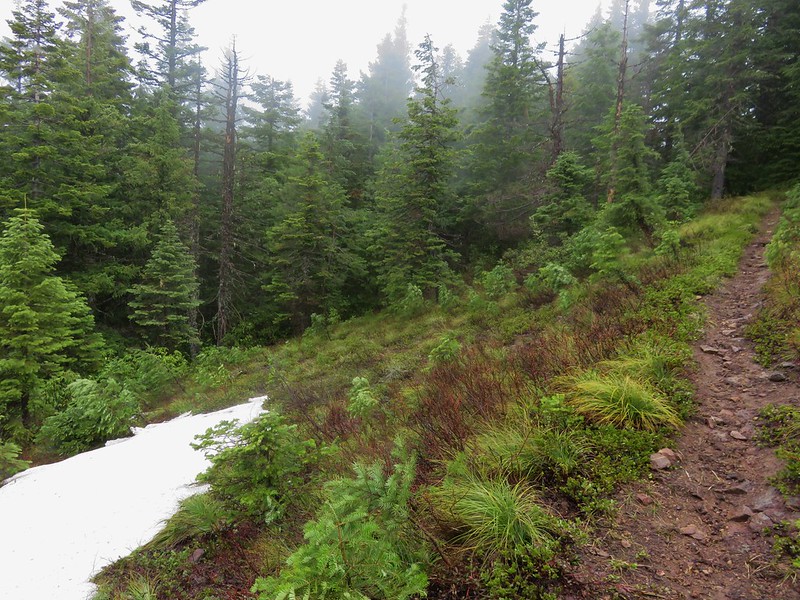
As we continued on the Crawfish Trail time seemed to move backwards and the flowers of Spring gave way to chilly winds and patches of snow.


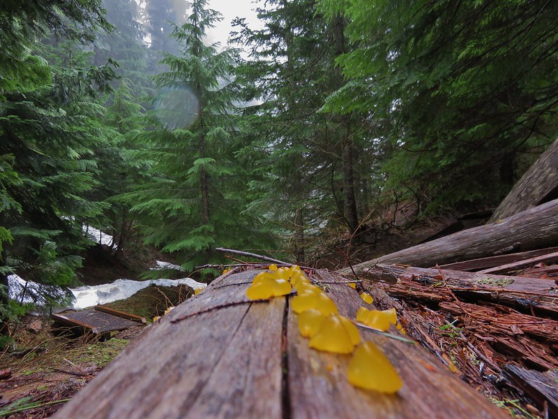
Orange jelly fungus
When we finally reached the Knott Trail Junction we turned left and climbed some more.
The trail led up to open meadow that might have had a decent view on a clear day and probably some nice flowers in a month or two.
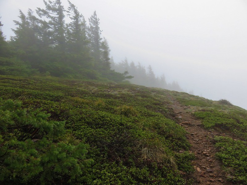
Beyond the meadow the trail began to descend along a ridge toward the Adams Mountain Way junction. On this side we encountered more snow.

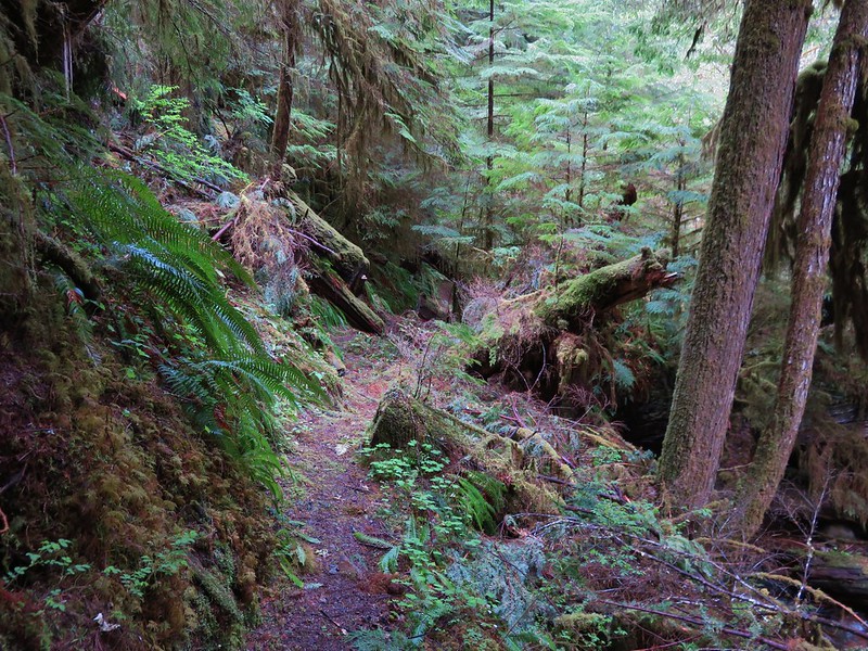
The trail was in decent enough shape with some blowdown and debris along the way, nothing too difficult to get around, but in several sections it needed to be brushed out.
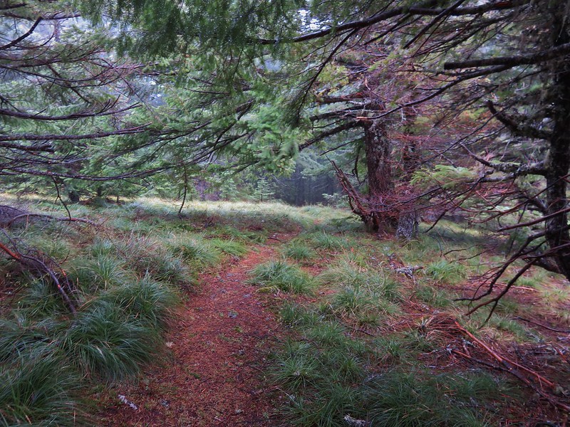
We reached the Adams Mountain way junction in a forested saddle.
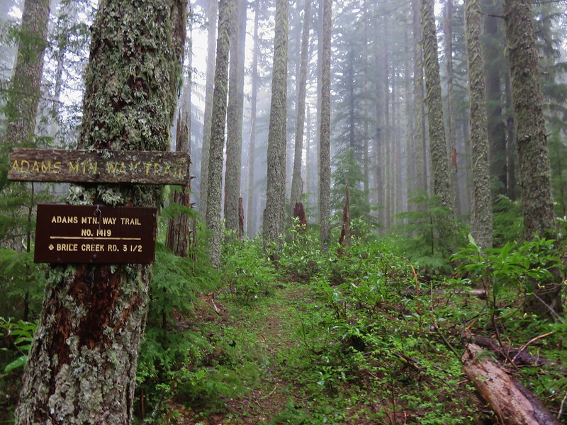
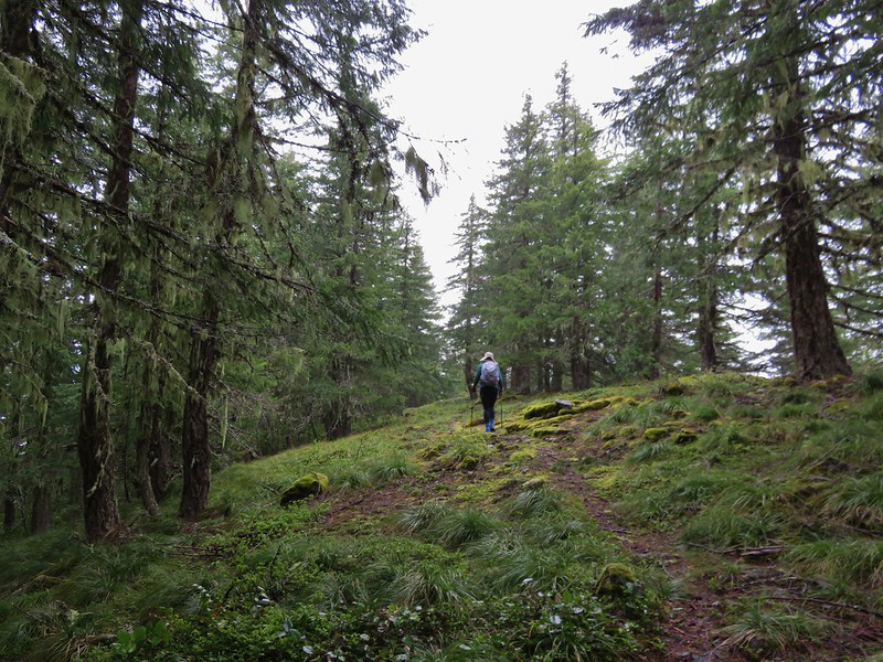
The Adams Mountain Way Trail began gently enough traveling along a ridge towards Brice Creek Road.
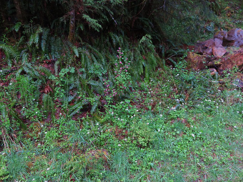
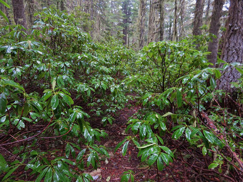
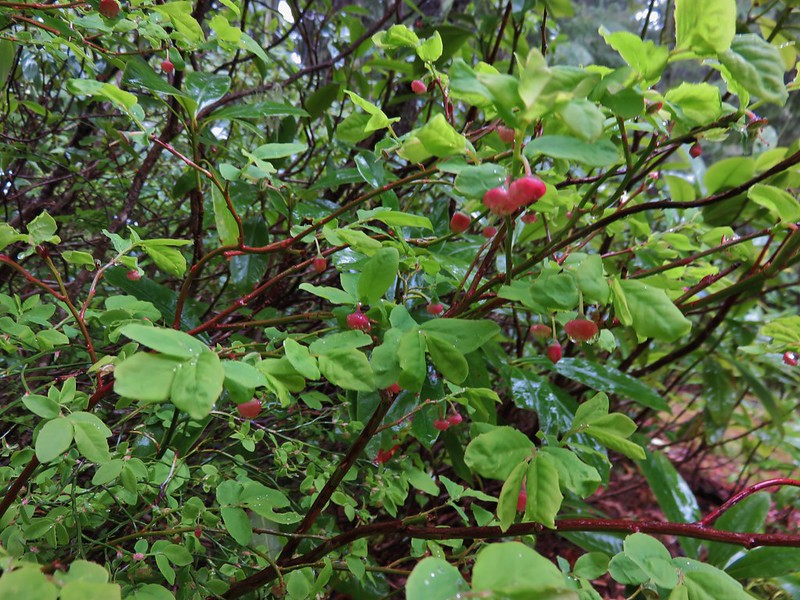
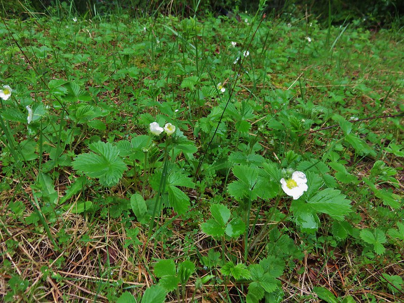
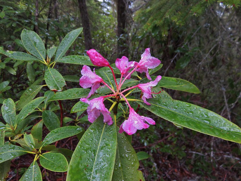
Signs of Spring began to pop up again in the form of huckleberry blossoms, wild strawberry blooms, and even a pink rhododendron.
When the trail finally decided to head down, it did so with a vengeance. The descents rivaled some of the steepest trails we’d been on making us glad we hadn’t chosen to come up that way. We were feeling the elevation loss in our legs when we reached the Marten Flume Trail junction just a few hundred yards from Brice Creek Road.
I had not been able to find much information on this trail so we were curious about it and decided to go ahead and check it out. It headed up Hobo Creek and then forked. There was no sign at the fork and we weren’t sure which way to go so we took the right hand fork down toward the creek thinking that the flume might be down there. We had chosen poorly and would have needed to stay left at the fork to see the flume. At that point we were down at the creek where the loop trail crossed.
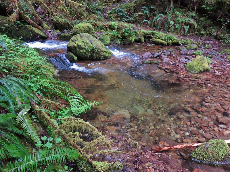
We decided not to climb back up to the fork and waded the creek to finish up the loop.
Trillium and Wood Sorrel bloomed along the path.

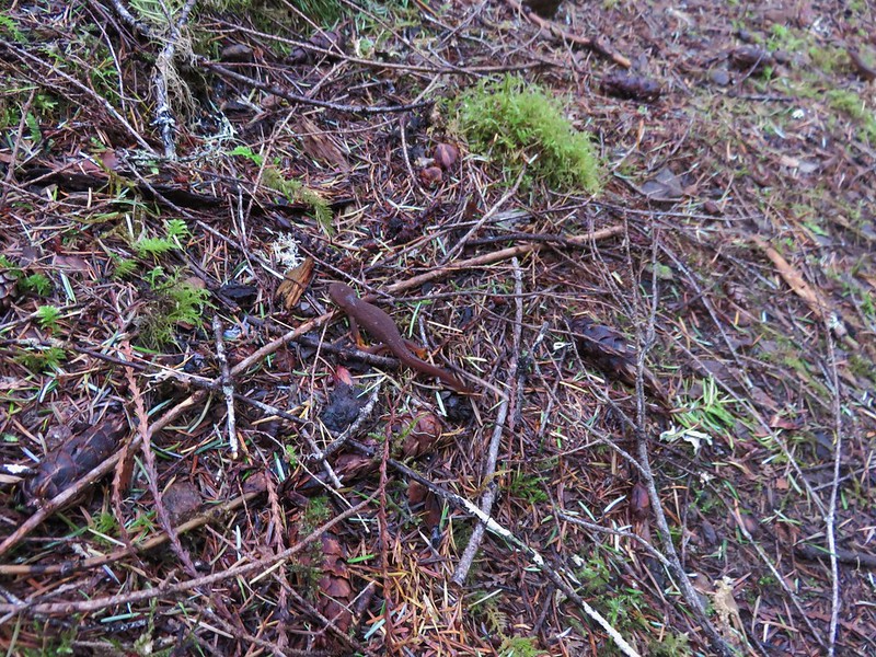
Near the end of the loop we encountered the only other trail users we’d seen all day. A pair of rough skinned newts.
One of the newts.
This was a good conditioning hike given the 11.7mi distance and 3000+ feet of elevation gain/descent. It is definitely not a hike for those looking for big views or extensive wildflowers, and depending on the mountain bike traffic it could be a little dangerous given the steep narrow tread in sections. For our visit though we were able to enjoy the solitude of spending five and a half hours completing the loop without running into anyone else.
Happy Trails!
Flickr: https://www.flickr.com/photos/9319235@N02/albums/72157667500424465

One reply on “Parker Falls and Adams Mountain Way”
[…] That was the case with the Adams Mountain Way Loop which we initially hiked on 4/23/2016 (post). On that outing we had stopped first at the nearby Parker Creek Falls before tackling the […]