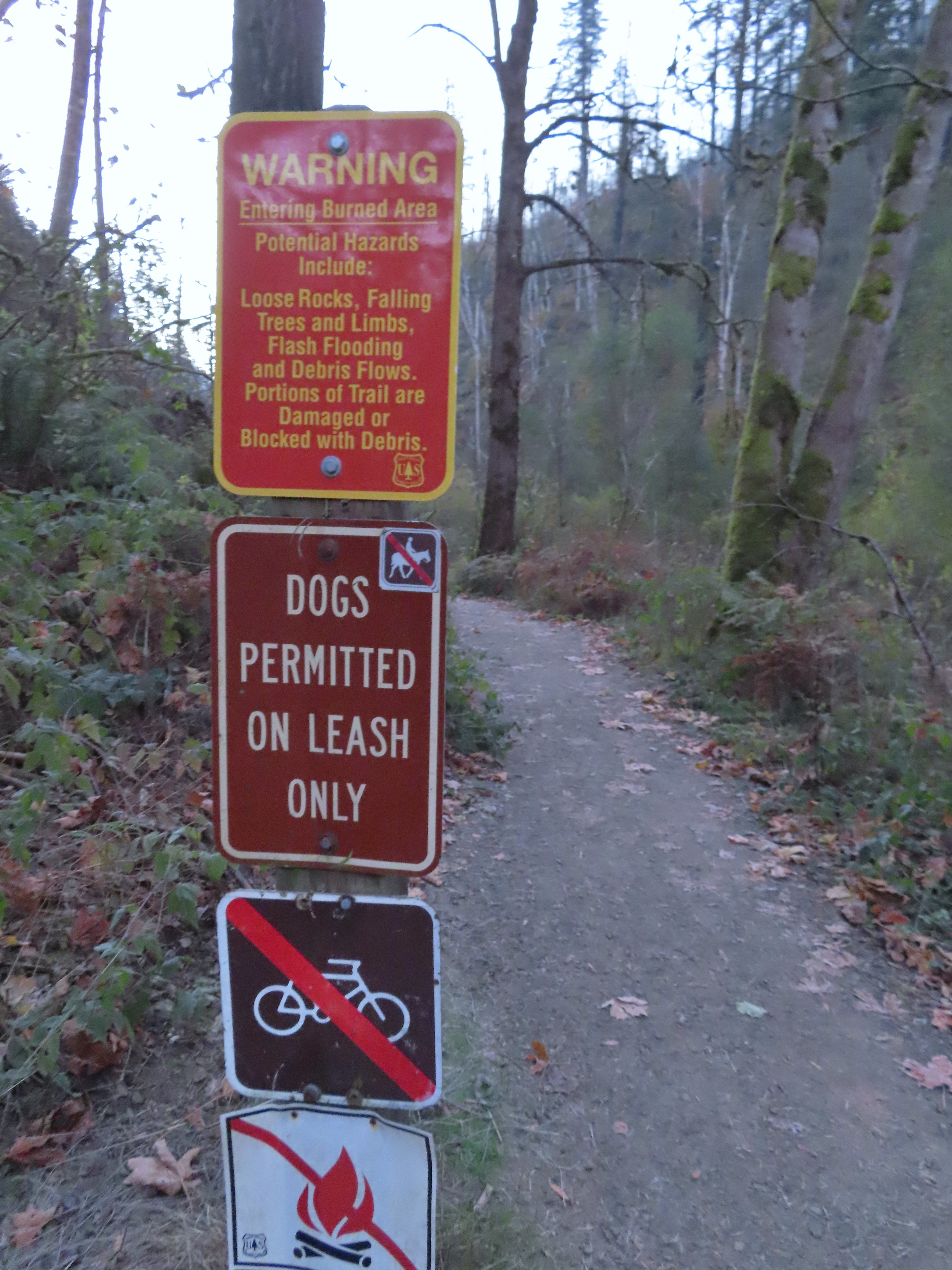
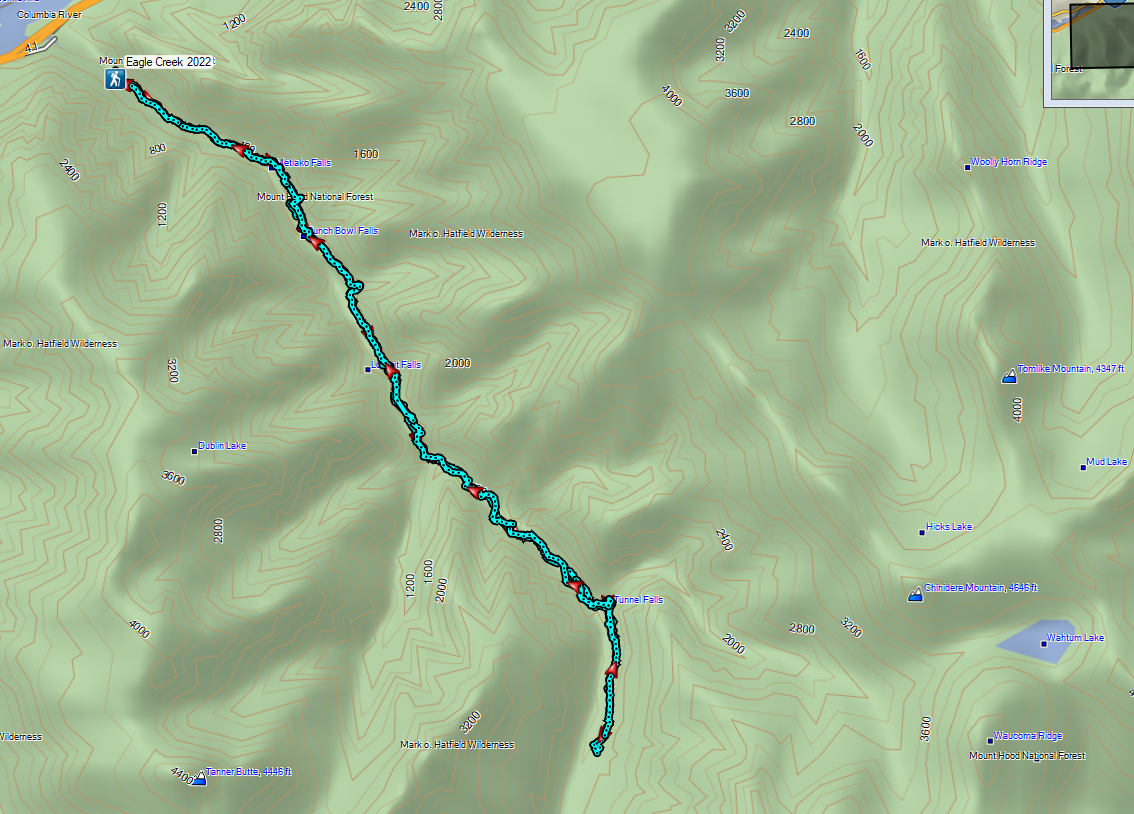
I took advantage of some favorable weather and headed to Eagle Creek in the Columbia River Gorge for a pre-birthday hike. I was on my own again with Heather still working her way back from her injury (Good news she has been released to do some short hikes), so I was looking for something we’d done before but also wouldn’t be a total repeat. We’ve visited Eagle Creek twice in the past, both prior to the 2017 Eagle Creek Fire but never gone past Twister Falls so my plan was to continue on beyond that waterfall to at least Sevenmile Falls.
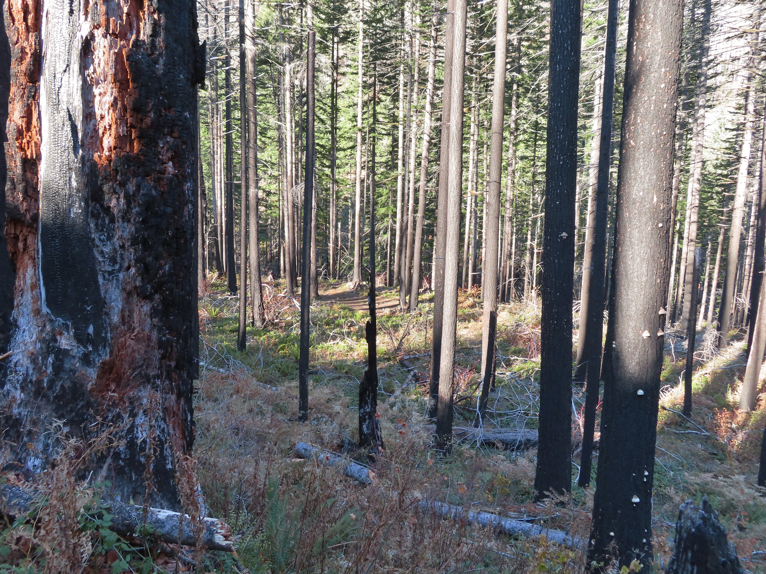
I left home at 5:30am and found myself being pushed around by the wind as I drove Interstate 84 along the Columbia River. Luckily the wind was calm at the Eagle Creek Trailhead where it was right around 30 degrees. I bundled up and set off on the trail past a burned area warning sign.
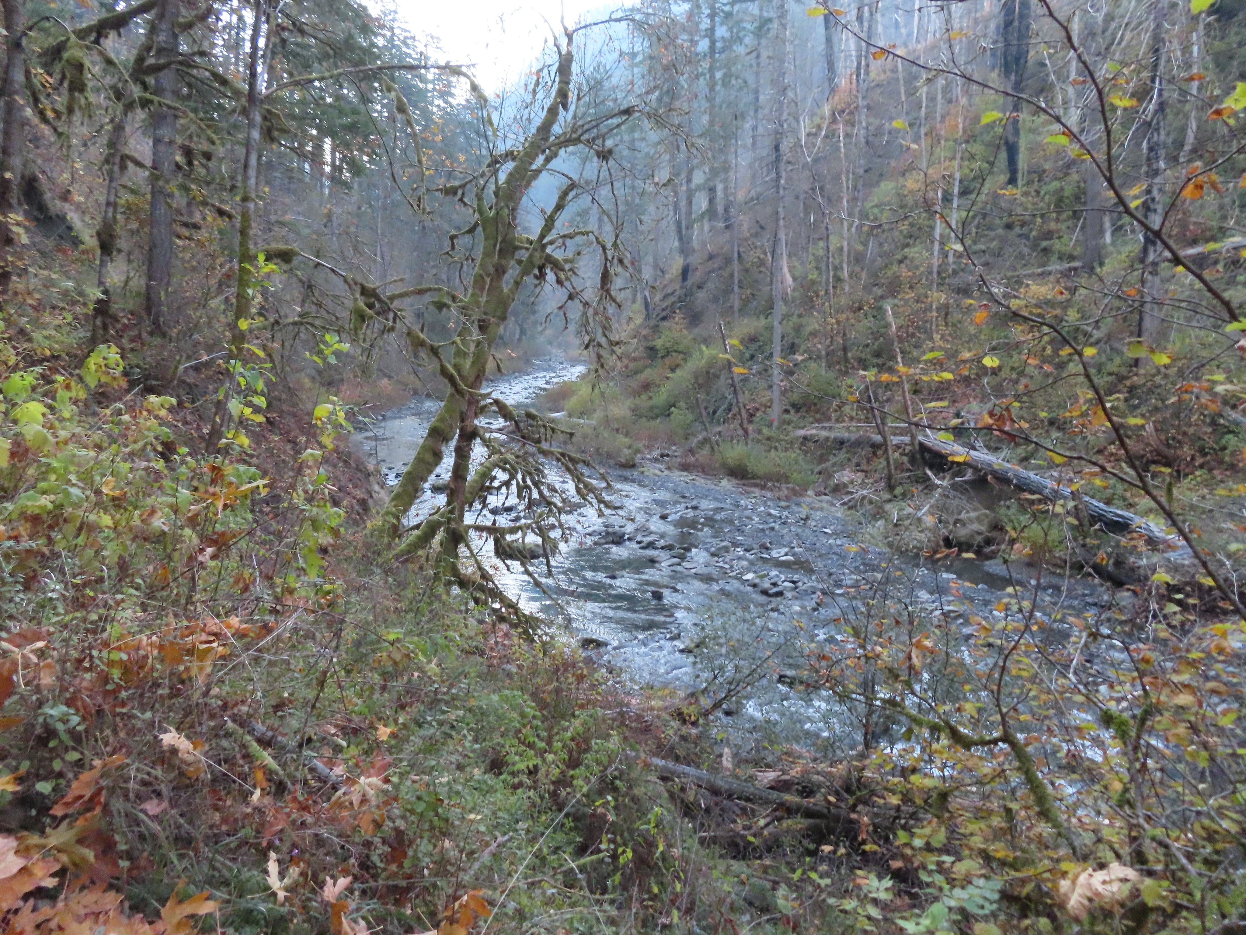
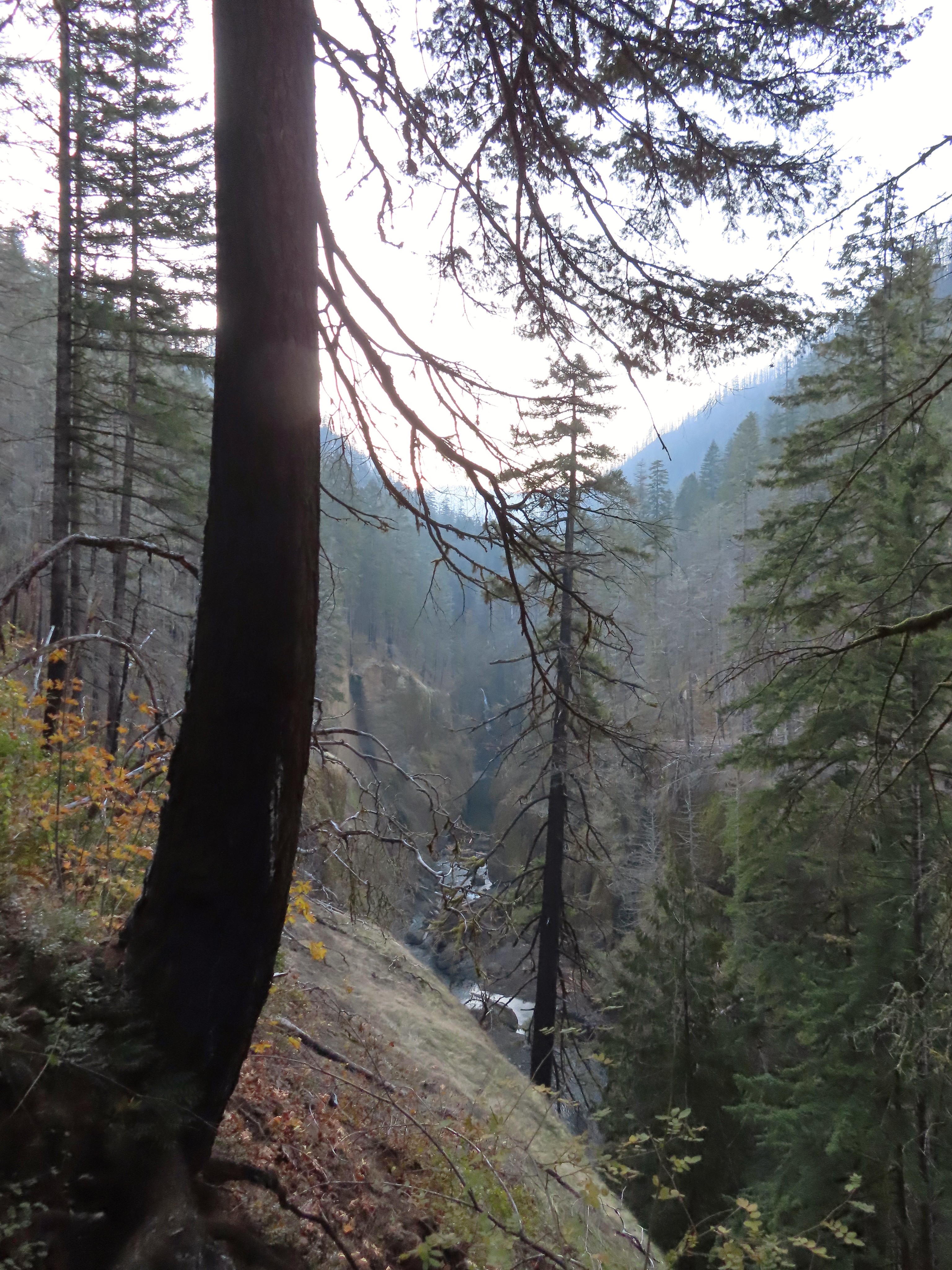
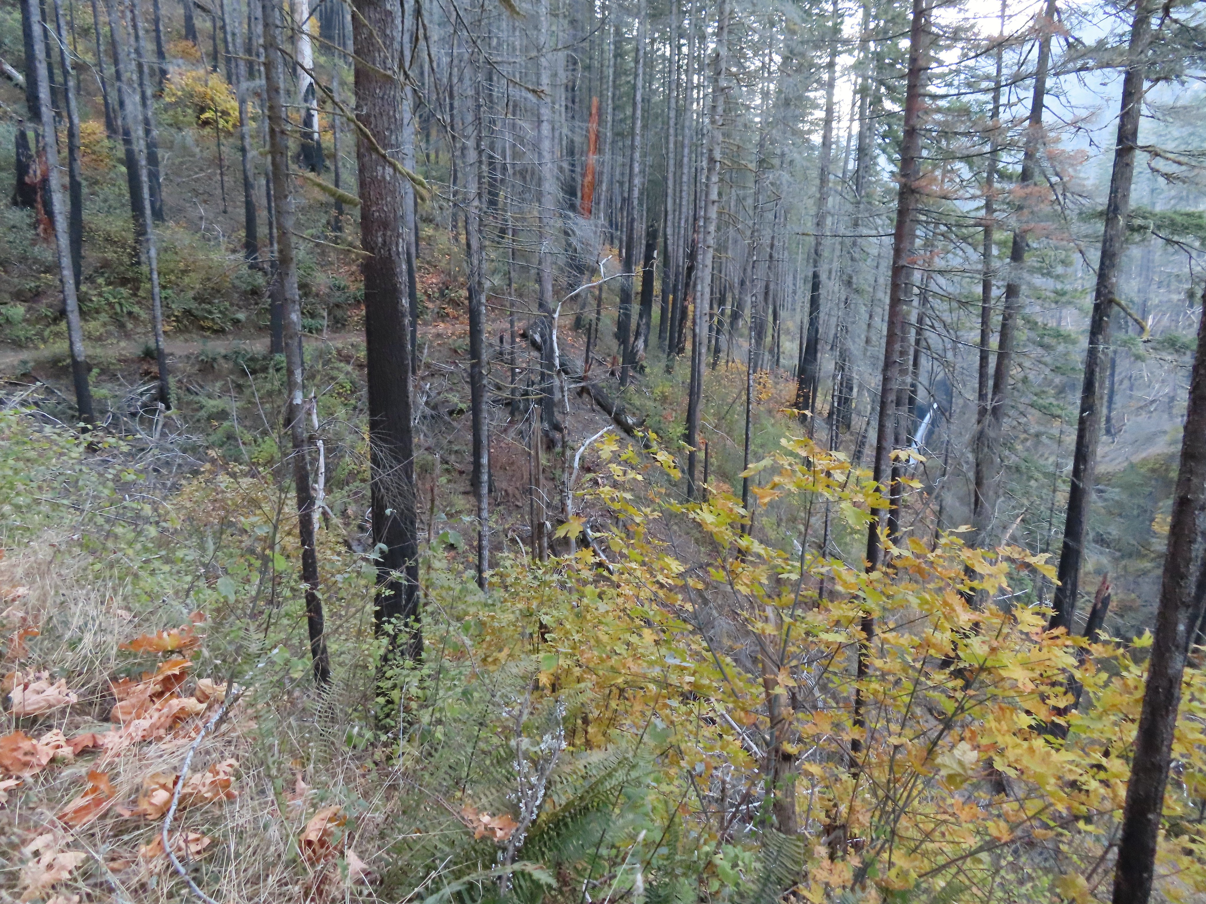
Despite the fire the scenery was good. I had to pay attention to my footing though due to areas of slick ice mixed in the wet portions of the trail.
 It was hard to tell at times which parts were frozen.
 Snow at the higher elevations.
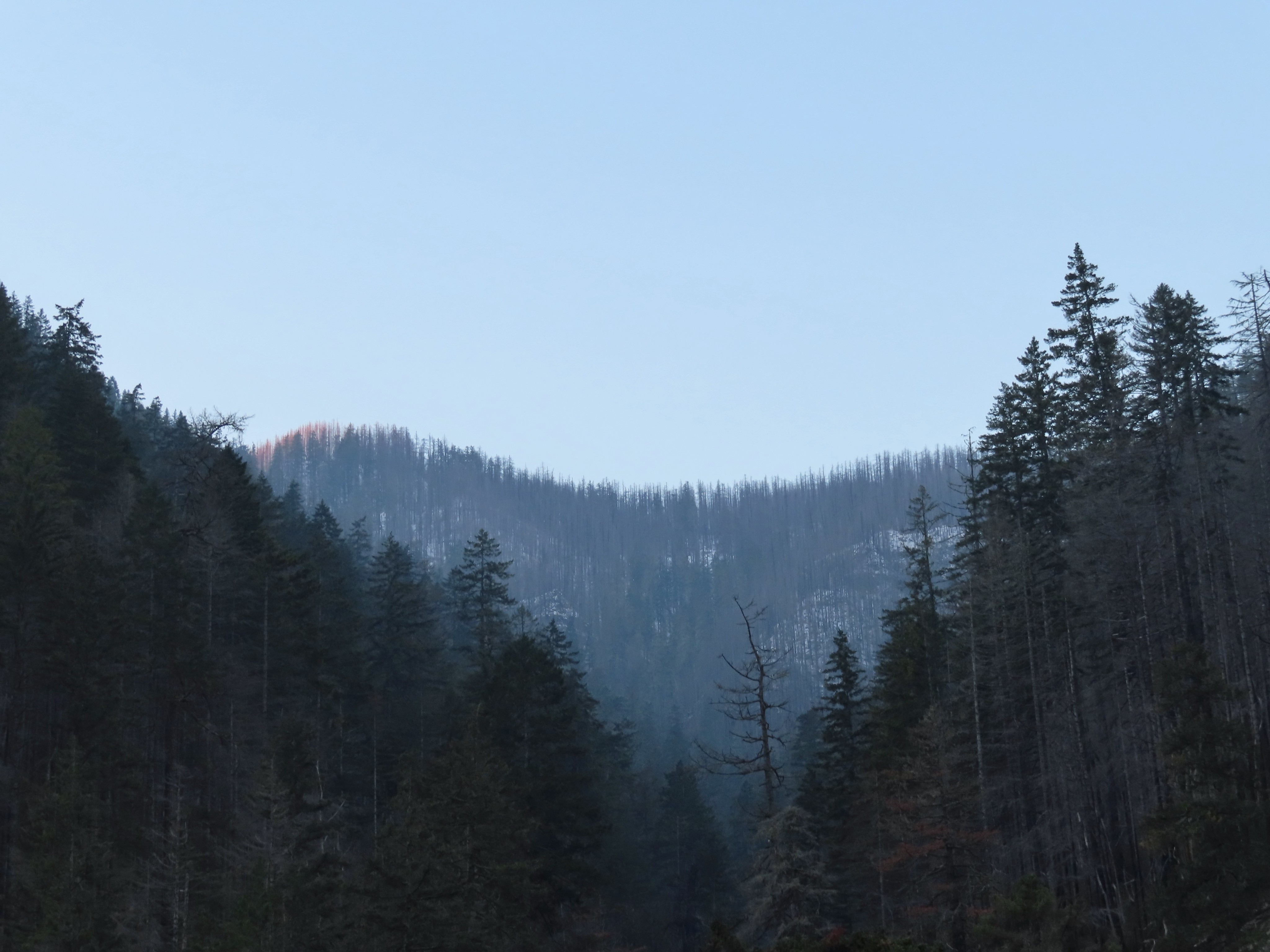
 A pink cloud in the direction of the Columbia River Gorge.
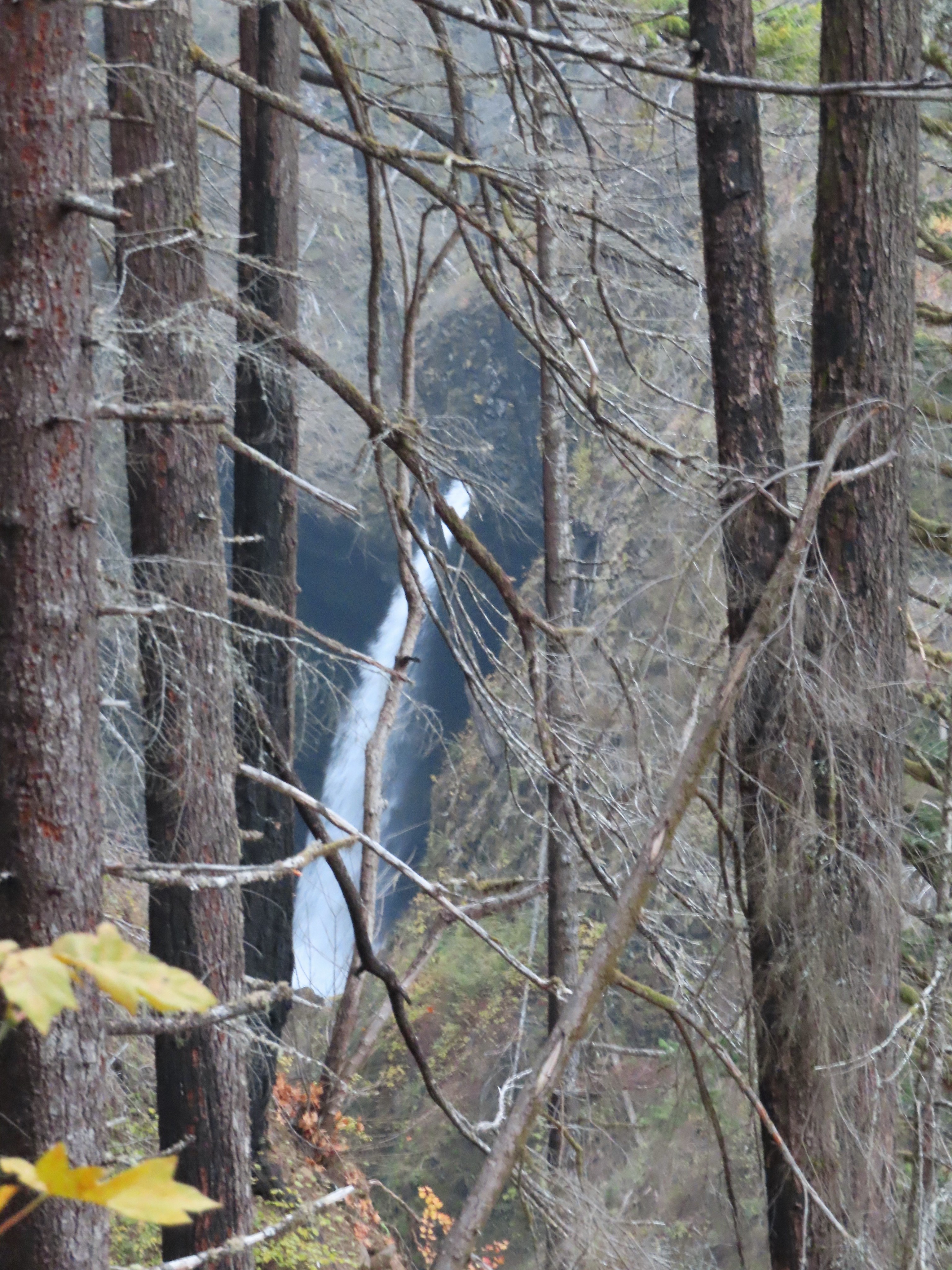
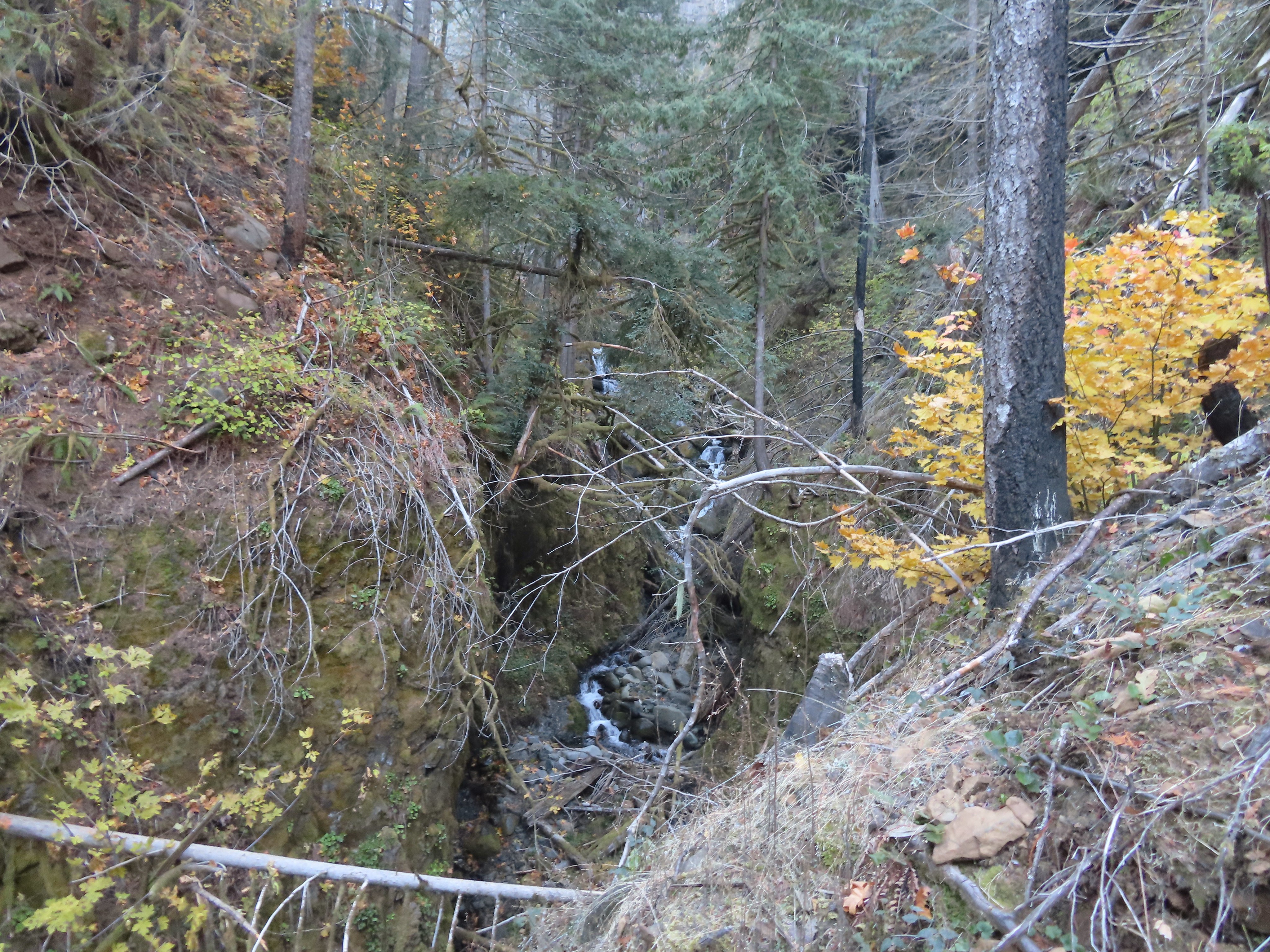
Near the 1.5-mile mark I found the first major difference post fire, a view of Sorenson Falls which had been hidden by trees and other vegetation on our previous visits.
 Sorenson Falls splashing down into Eagle Creek.
Prior to December 2016 there had been a short spur trail just up the trail from this new view of Sorenson Falls that led to a viewpoint of Metlako Falls. A landslide claimed that spur trail but as I continued along the trail Metlako Falls became visible through the remaining trees.
 Looking back down Eagle Creek. It was hard to tell where the spur trail had been.
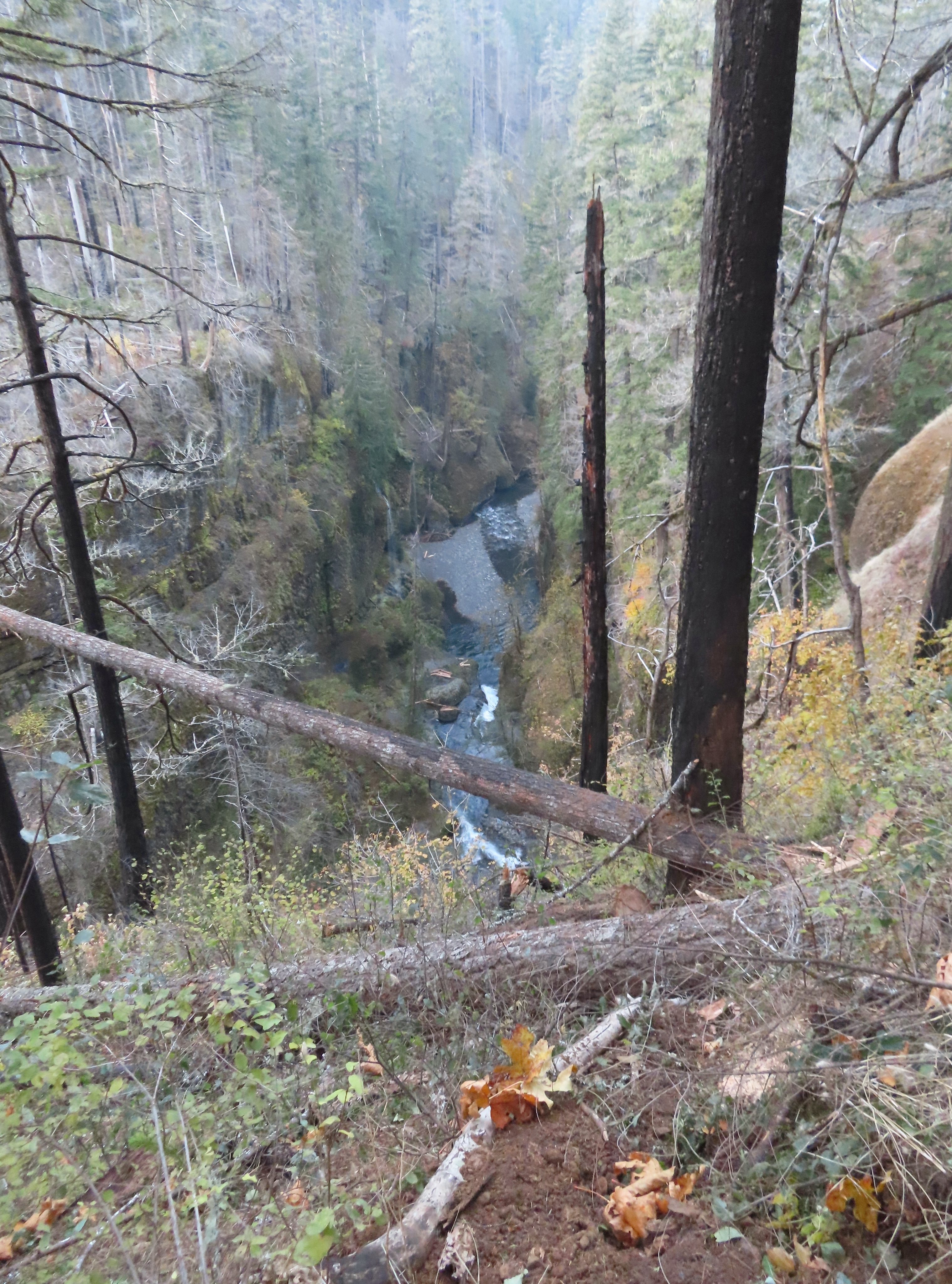
 Runoff falling from the cliffs into Eagle Creek.
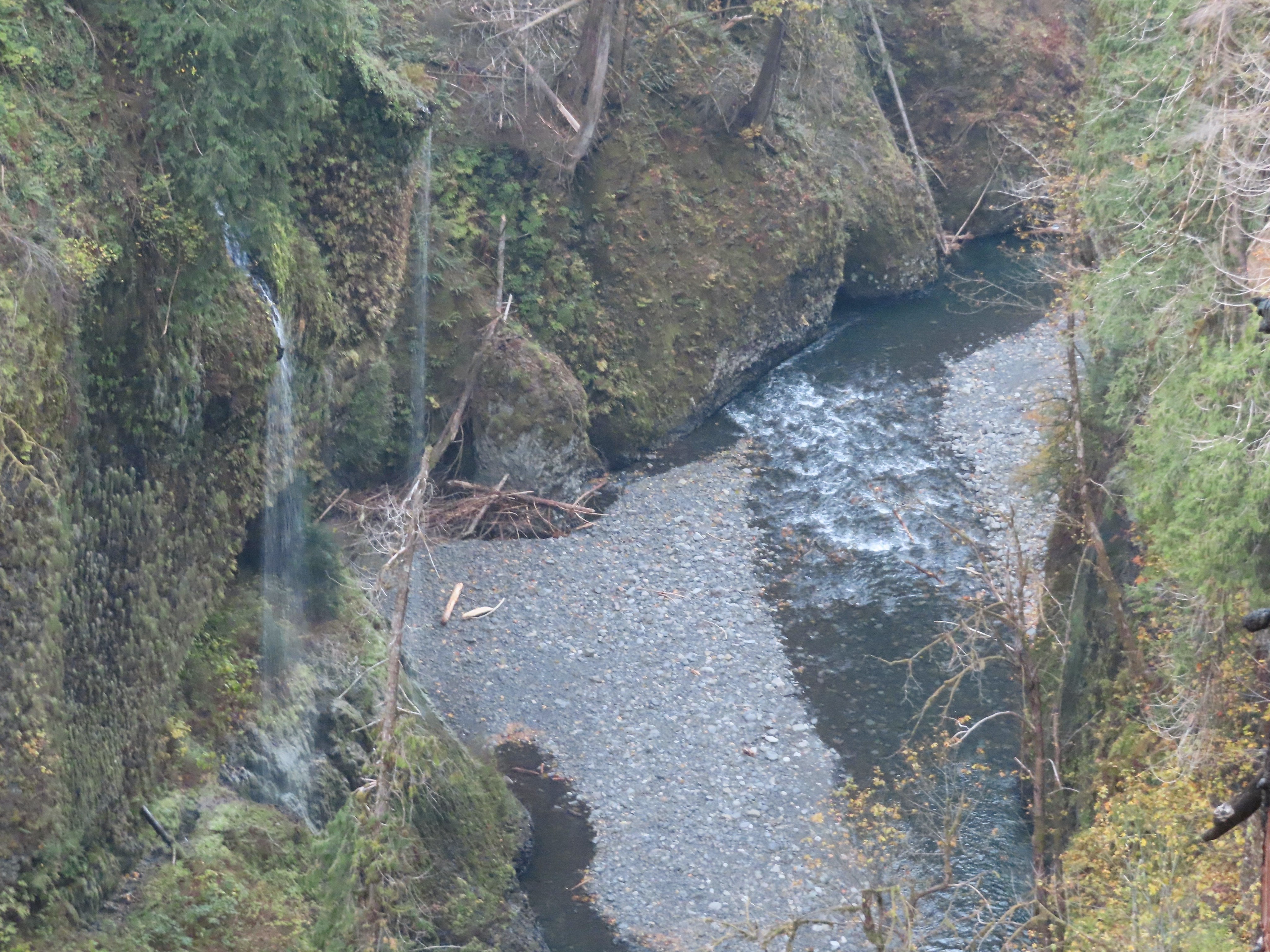
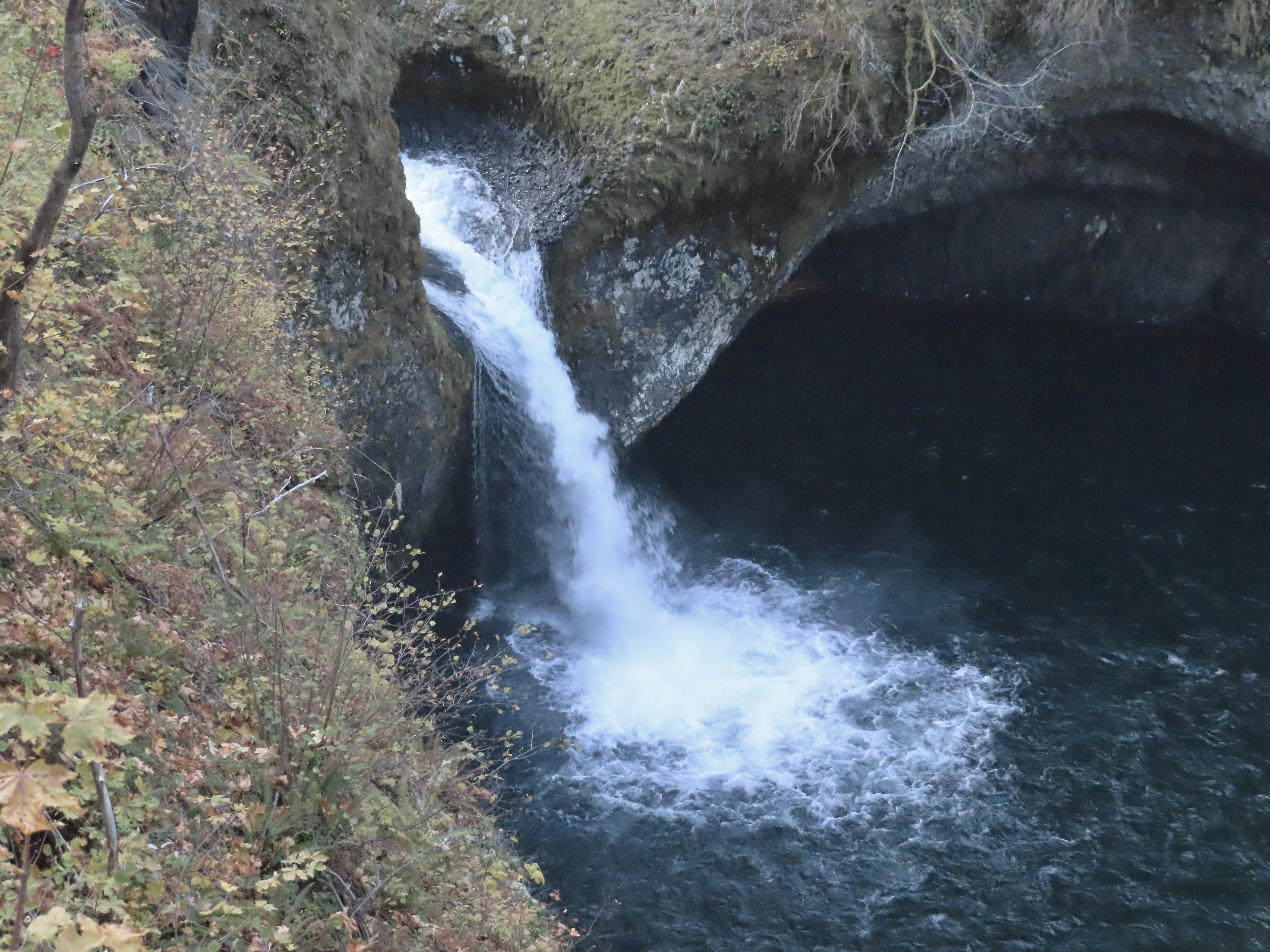
 Metlako Falls
 Metlako Falls
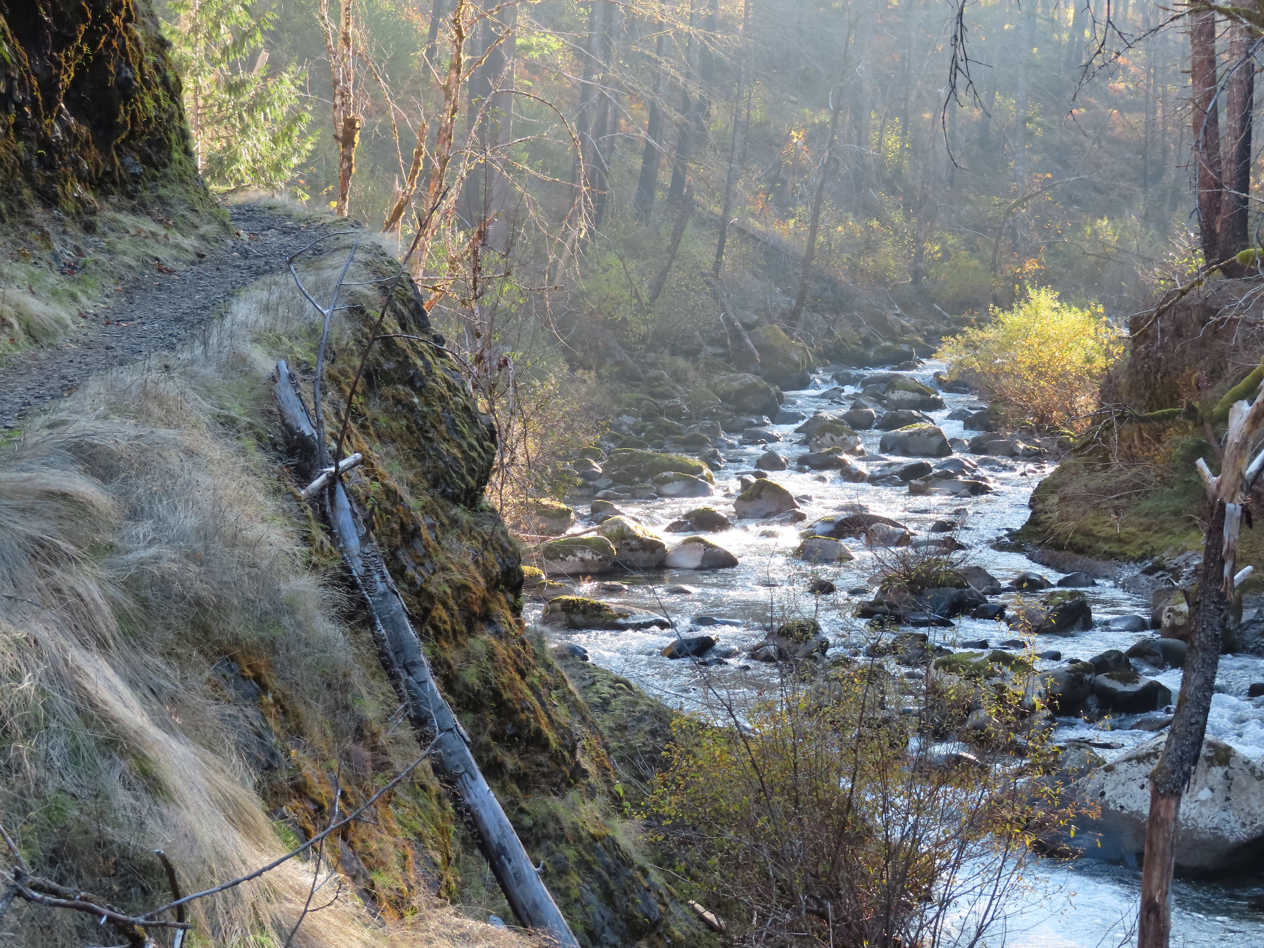
I crossed Sorenson Creek on round concrete steps that were fortunately ice free and quickly found myself at the Lower Punchbowl Falls Trail junction.


I detoured down this nearly 0.2-mile spur trail even though I knew that the former view of Punchbowl Falls was lost in 2018 after a post-fire landslide rerouted Eagle Creek.
 Lower Punchbowl Falls
 Rocks from the landslide on the right.
I returned to the Eagle Creek Trail and continued to the Punchbowl Falls viewpoint to get a look at that fall.
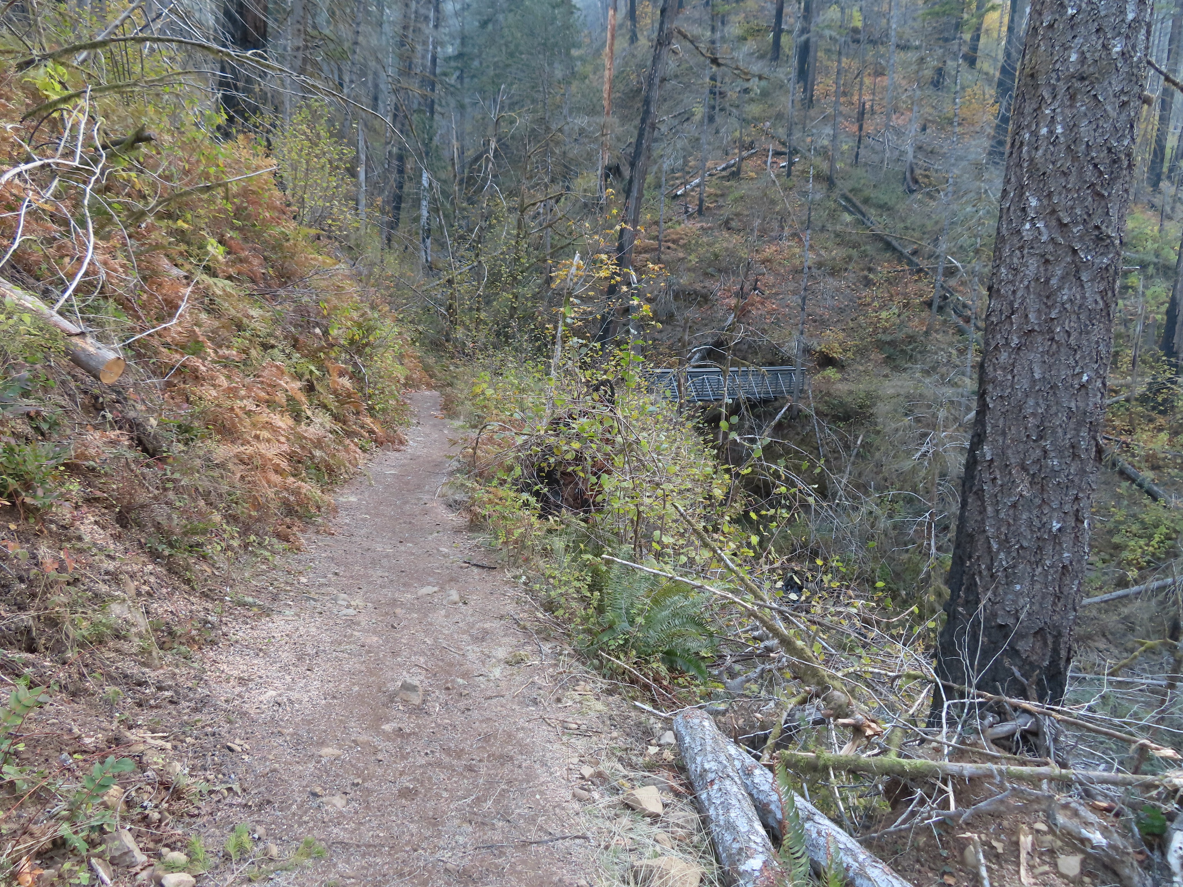
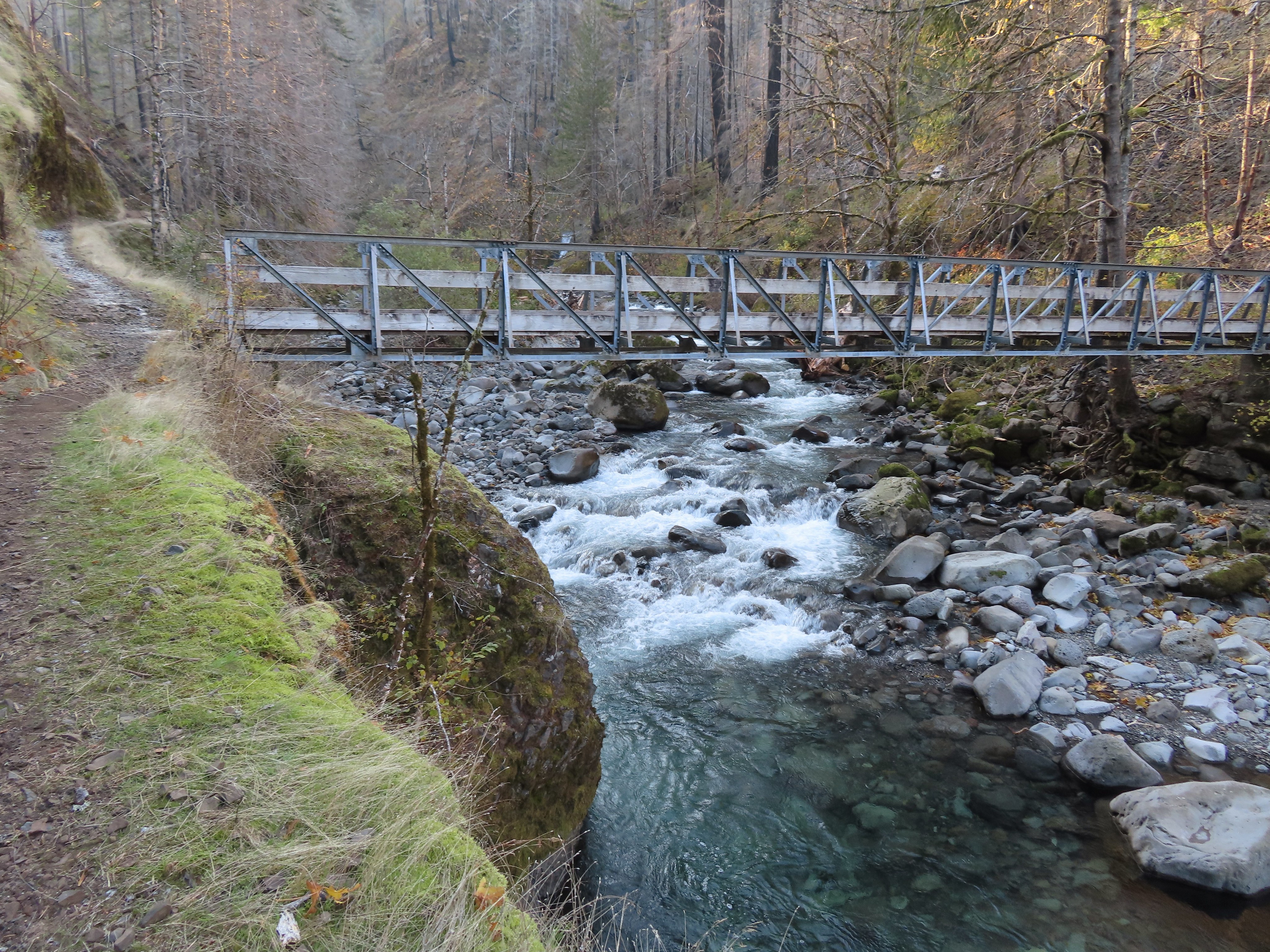
Beyond the viewpoint the trail crosses Tish Creek on a footbridge followed by a second footbridge over Fern Creek after another 0.6 miles.
 Tish Creek Bridge
 Tish Creek
 More snow on the ridge.
 Fern Creek Bridge
 Fern Creek
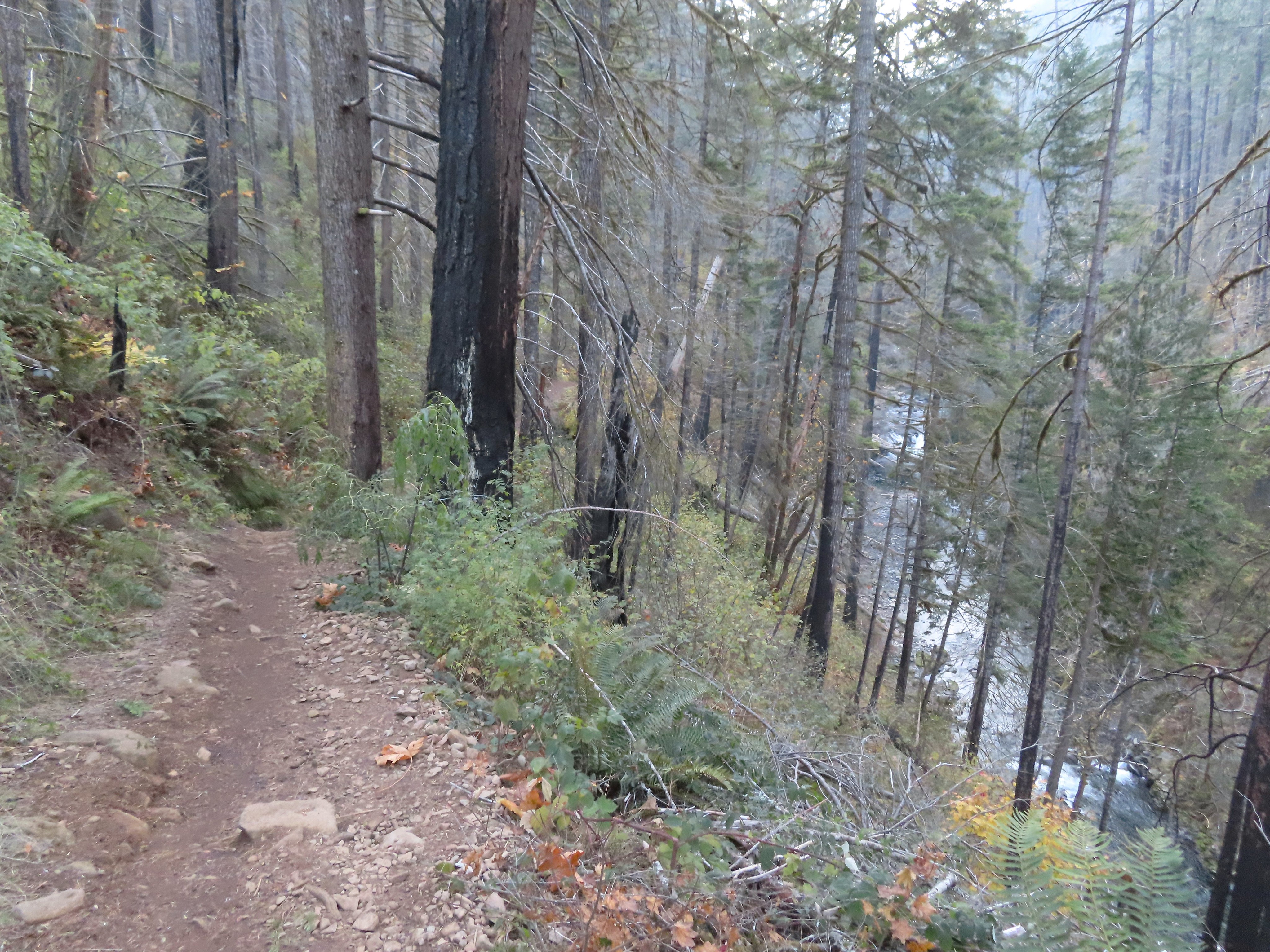
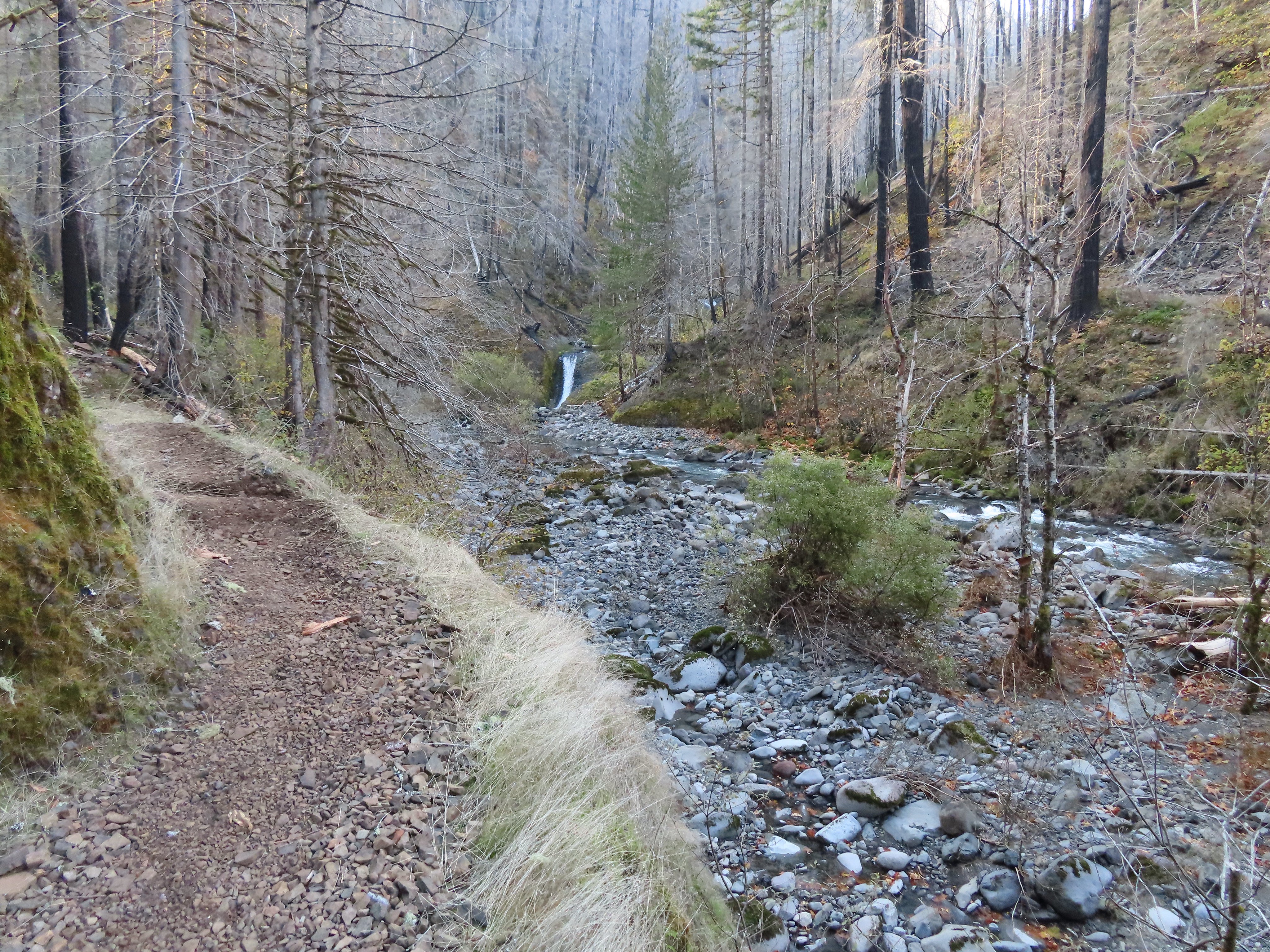
After Fern Creek the trail passed through a scree slope where I kept my eyes open for pikas hoping that one might brave the chilly temperatures but alas no luck.


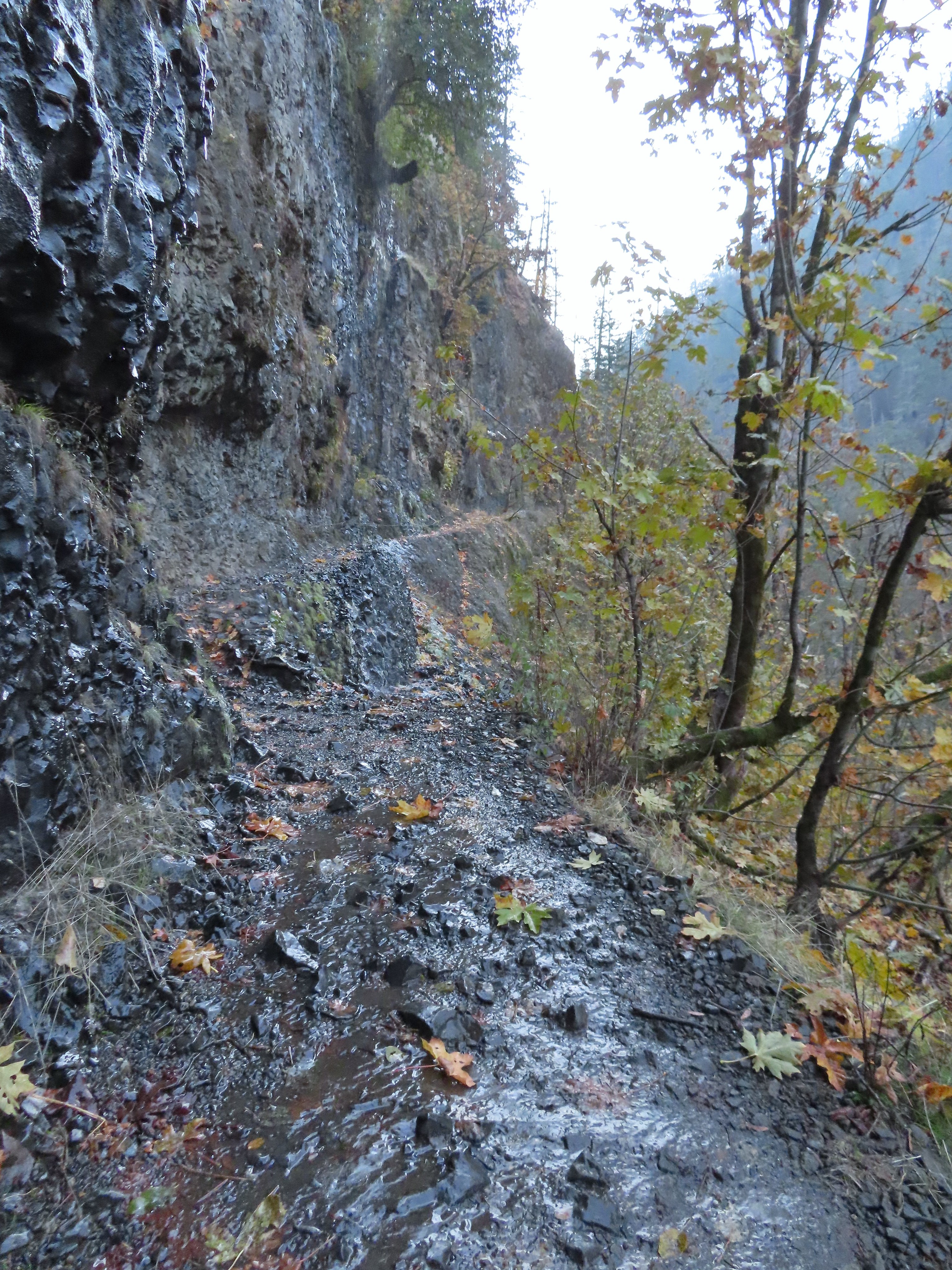
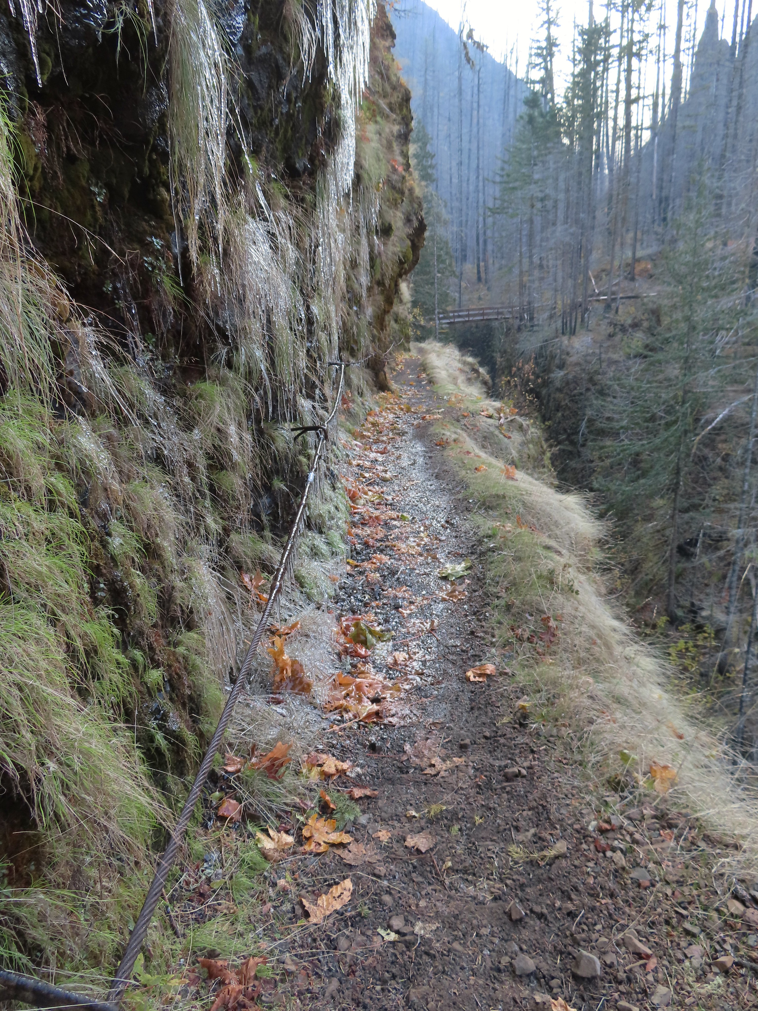
Following the pika-less scree slope I came to a section of trail where a cable acts as a rail as the trail passes along a rocky cliff. This was the first section where I encountered actual icicles.
 Coming up on the cable section with a bit of ice to start things off.

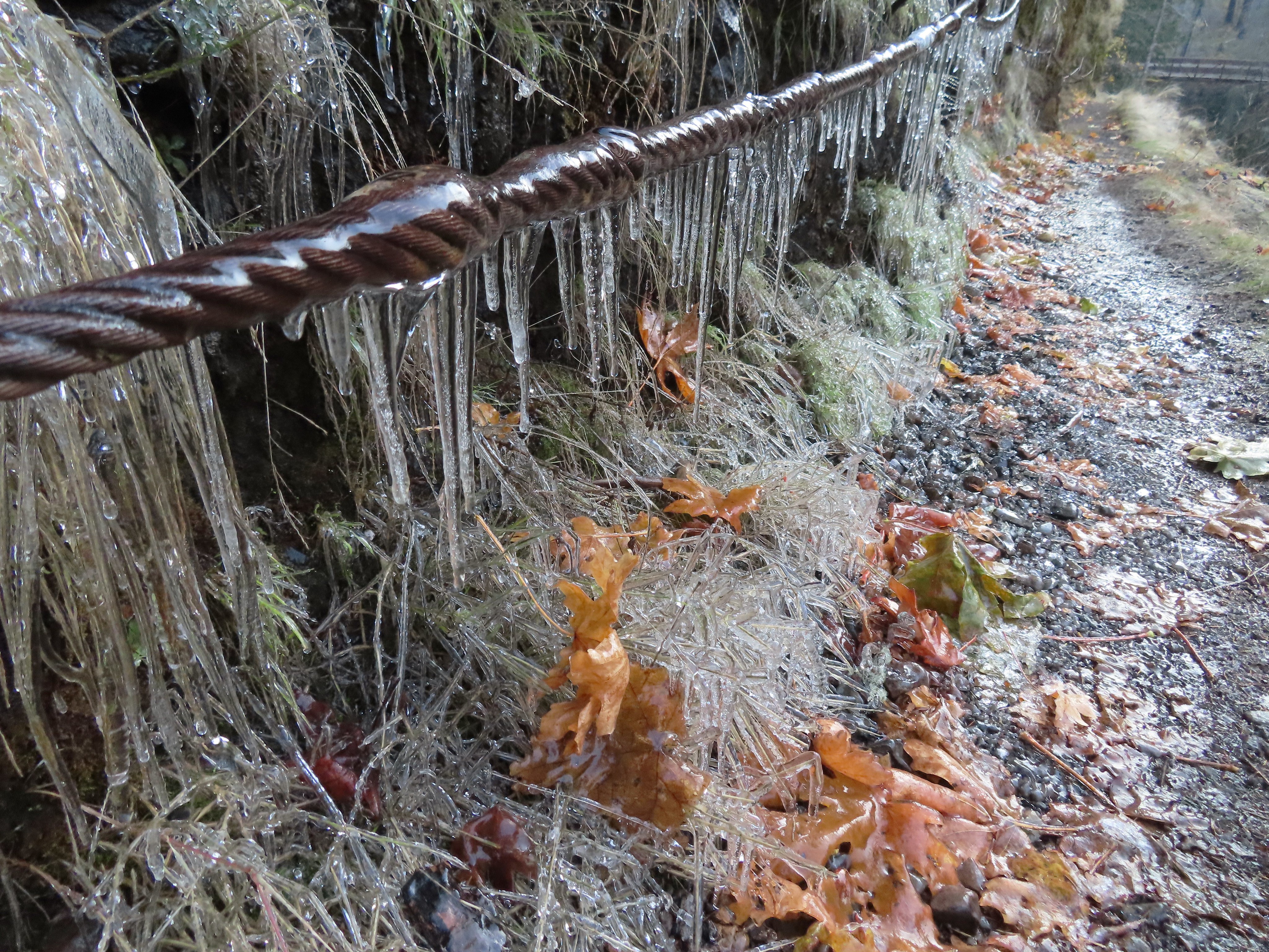
 Careful where you step.
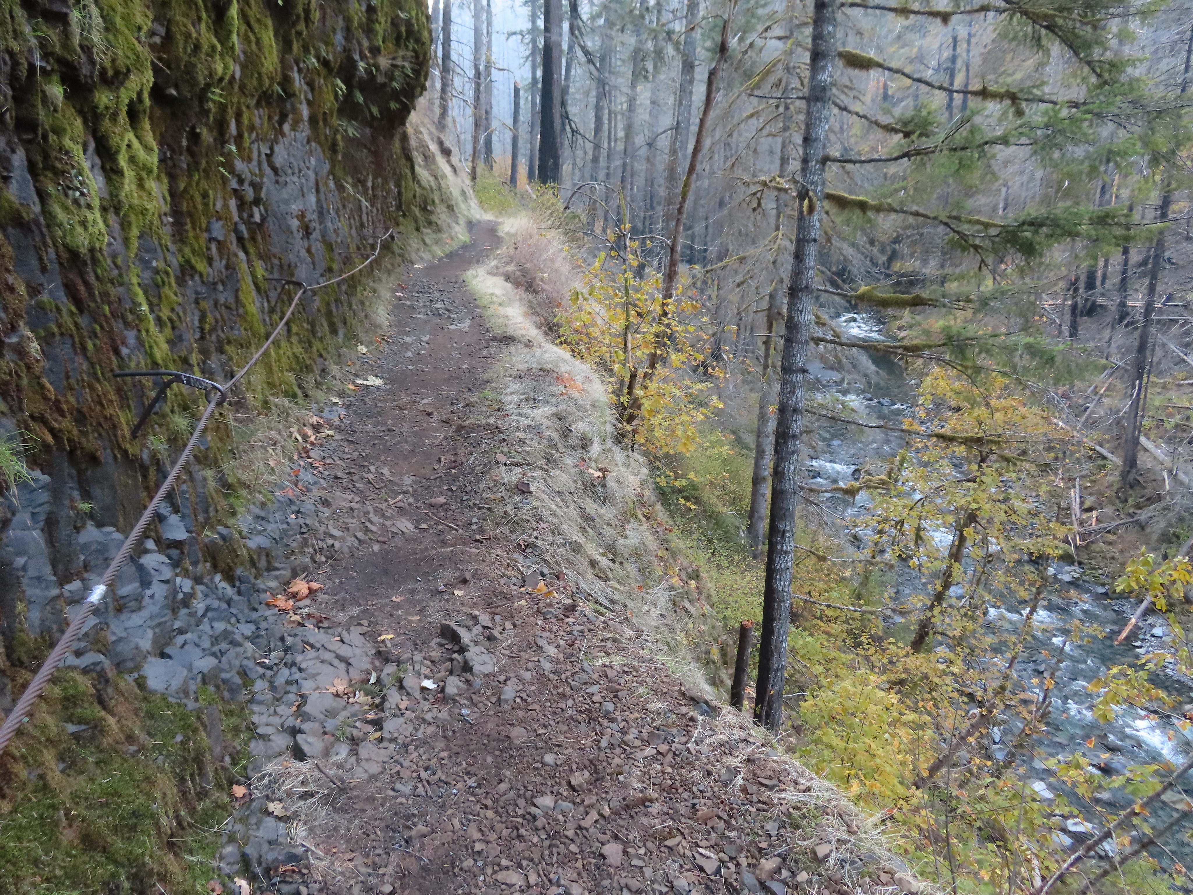 The last part was ice free.
Continuing on the trail brought me to a view of Loowit Falls. This was another case of the fire having created a better view of Eagle Creek below the falls.
 Passing Loowit Falls.
 More cable passing Loowit Falls with High Bridge in
the distance.

At the 3.3-mile mark I came to High Bridge.

 Eagle Creek from High Bridge.
 Eagle Creek from High Bridge, looking upstream.
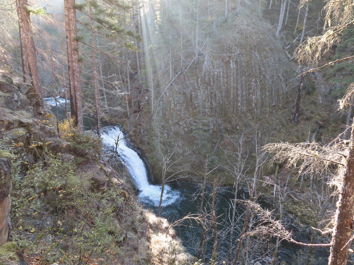
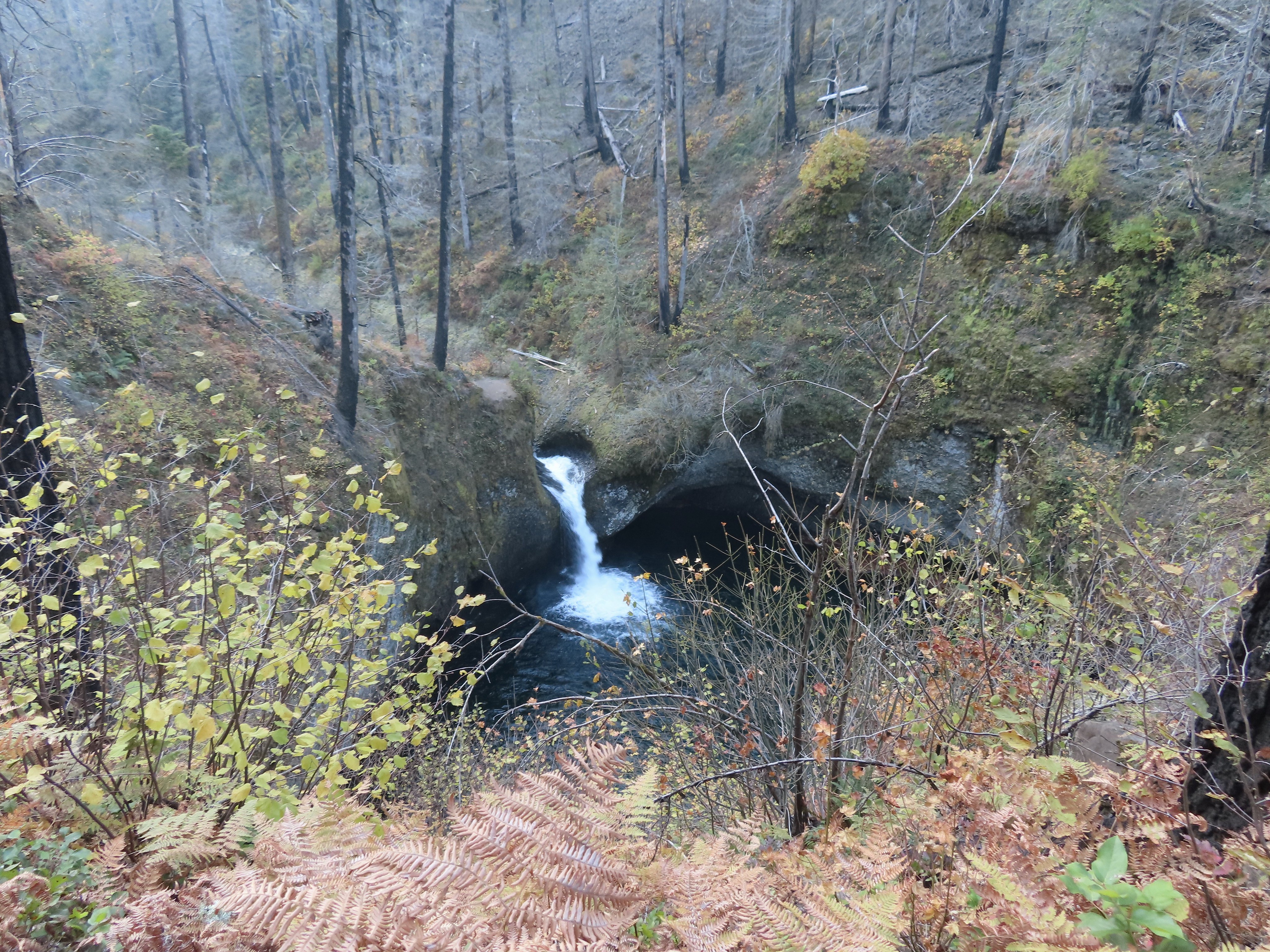
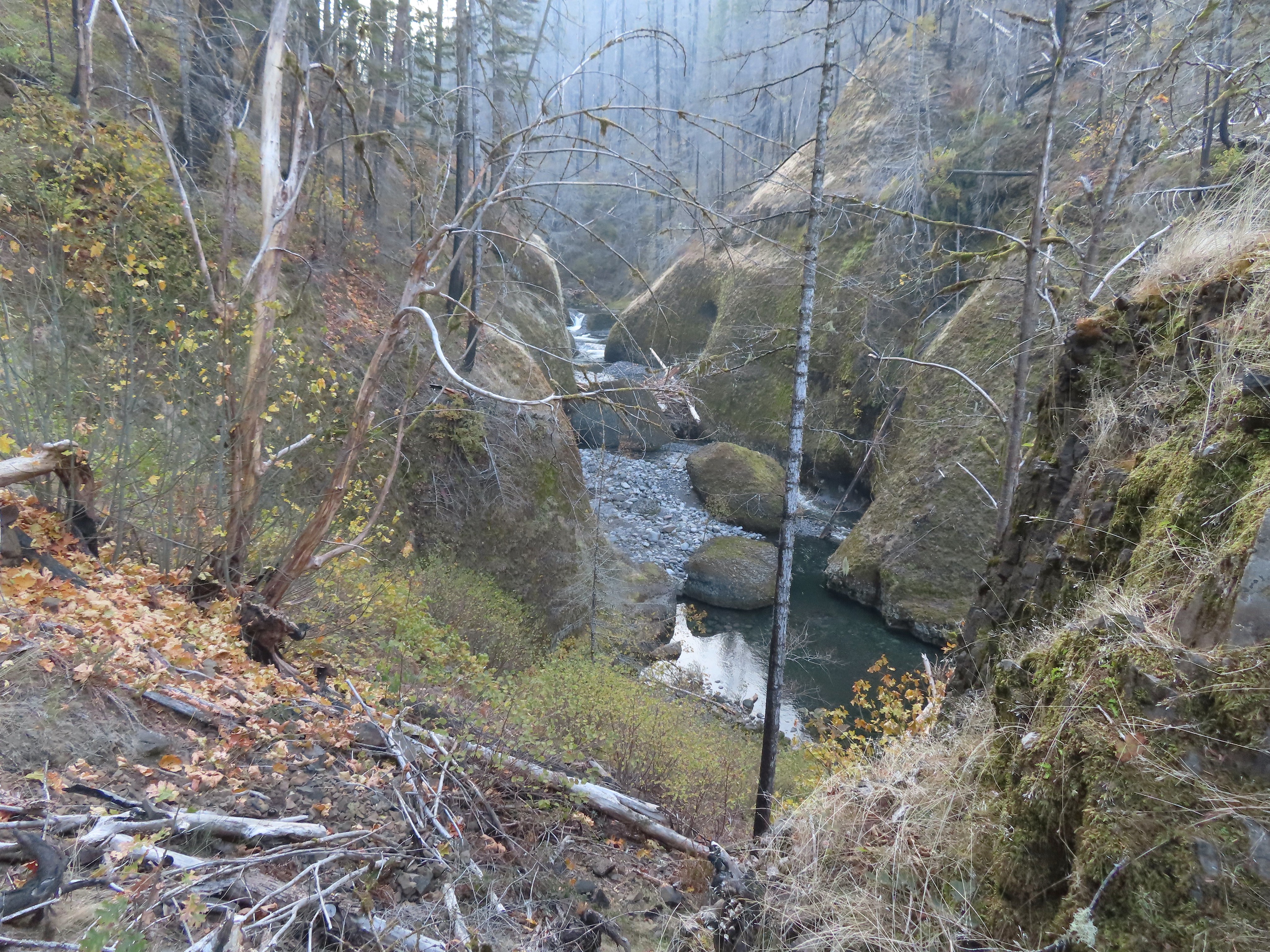
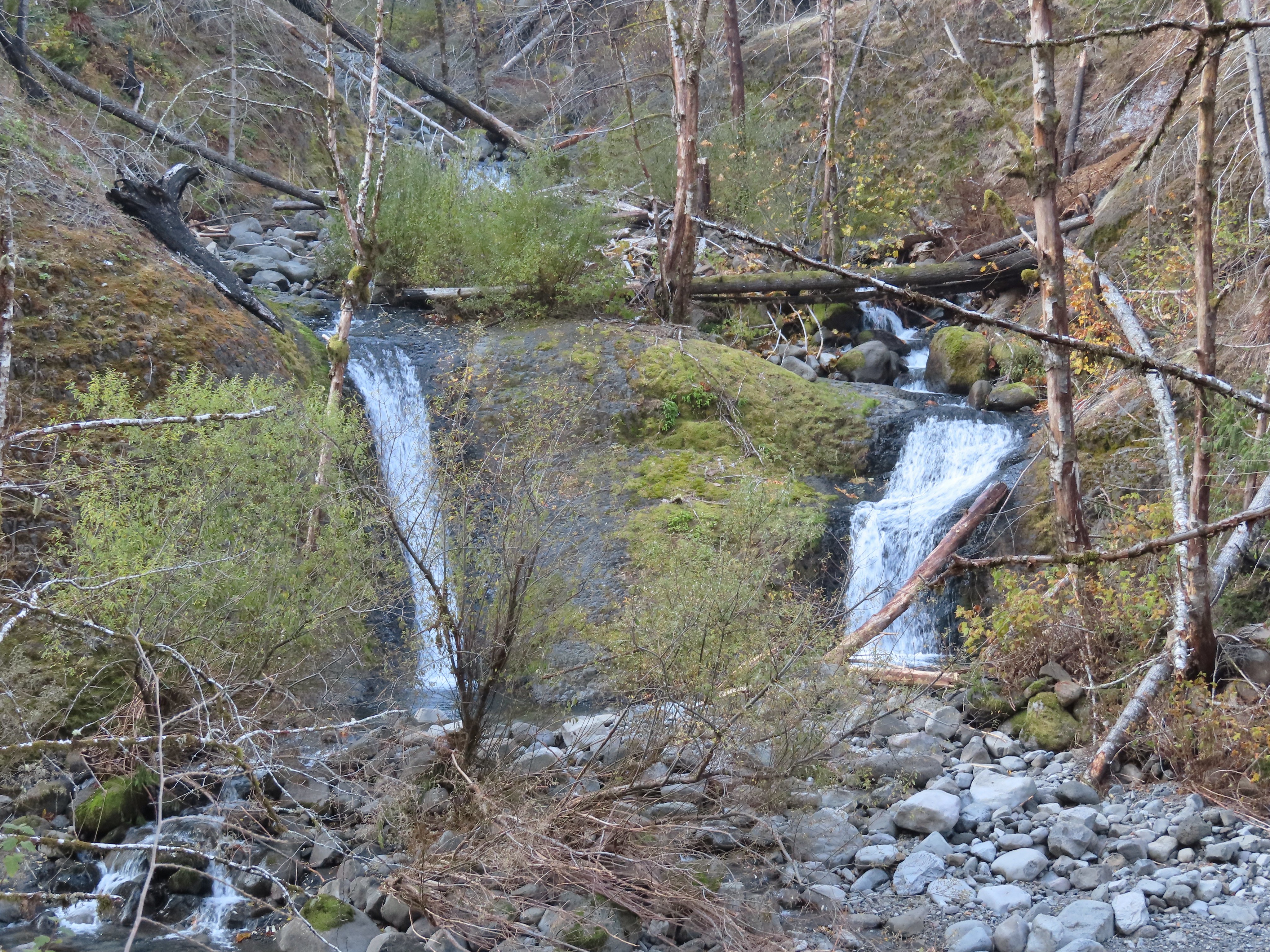
Less than a quarter mile from High Bridge I came to another dramatic change in the trail when I got a good view of Skoonichuck Falls. Previously only the upper portion of this 50′ waterfall was visible from the trail above it but again the fire had removed enough vegetation to provide a nice view of the waterfall.
 Skoonichuck Falls
I was briefly distracted by a varied thrush (my nemesis bird).
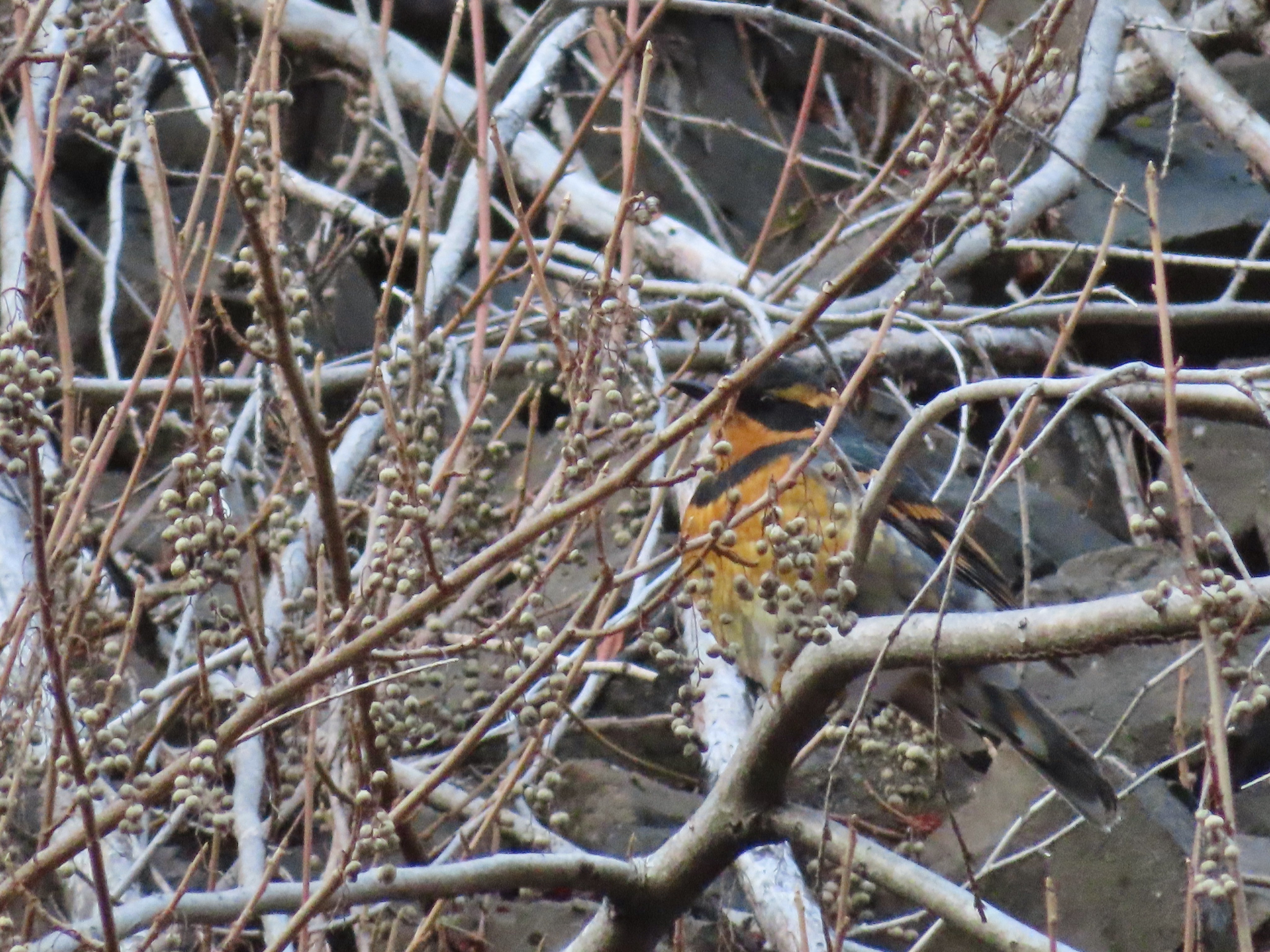 Not my worst varied thrush photo.
 Another nice view of Skoonichuck after I’d given up on the thrush.
 Sad looking penstemon but I’m counting it as a flower.
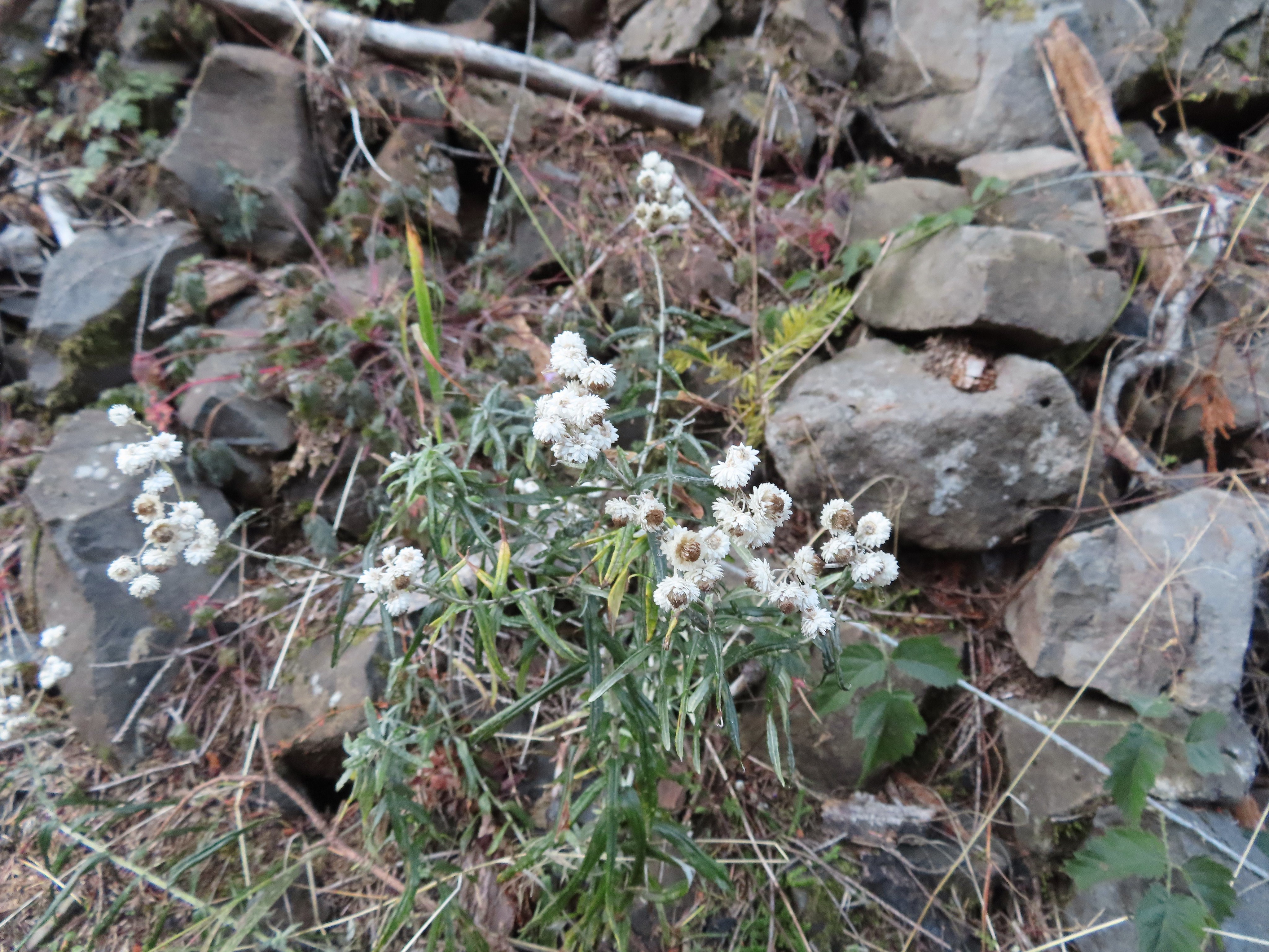 Some nearly as sad pearly everlasting.
 This fall was visible across the creek on an unnamed creek (at least on the maps I’ve seen).
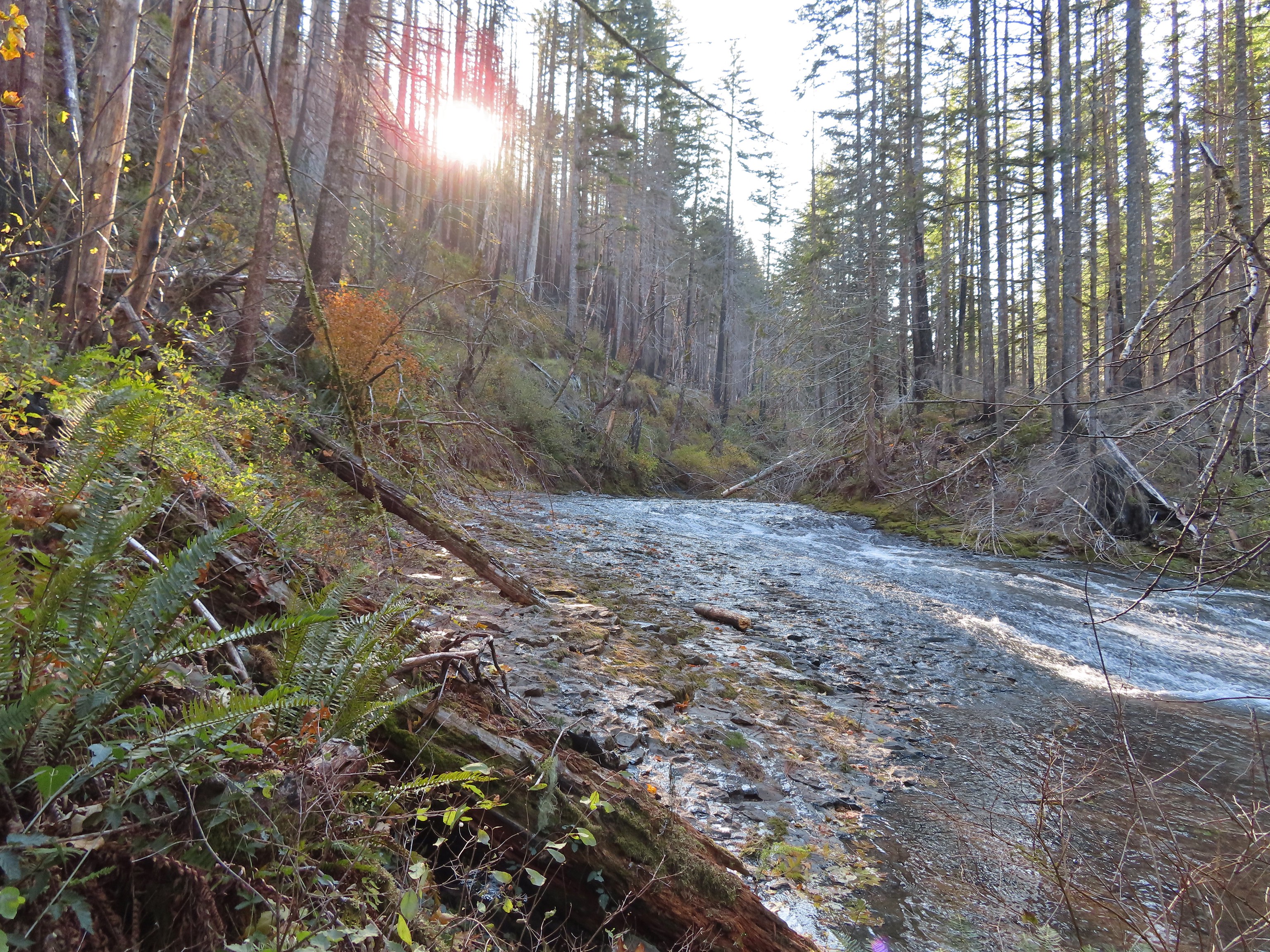
At 4 1/2 Mile Bridge I recrossed Eagle Creek.
 I arrived at nearly the same time as the Sun.
 Beach and Summer swimming hole at 4 1/2-mile bridge.
Just beyond the bridge is Tenas Falls on the other side of Eagle Creek.
 Tenas Falls
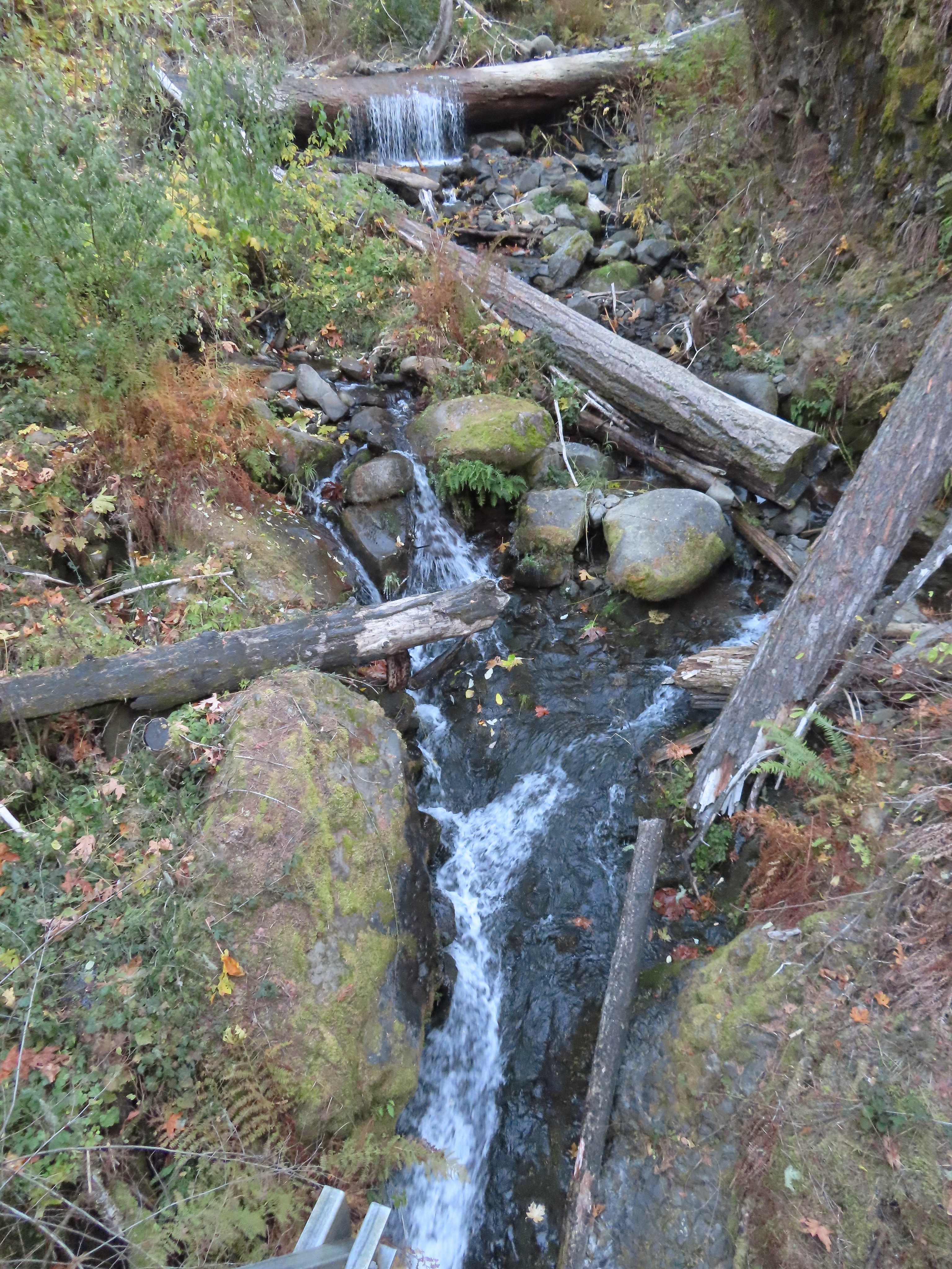
A little further along the trail passes Opal Creek which begins below Tanner Butte.
 Opal Creek flowing into Eagle Creek.
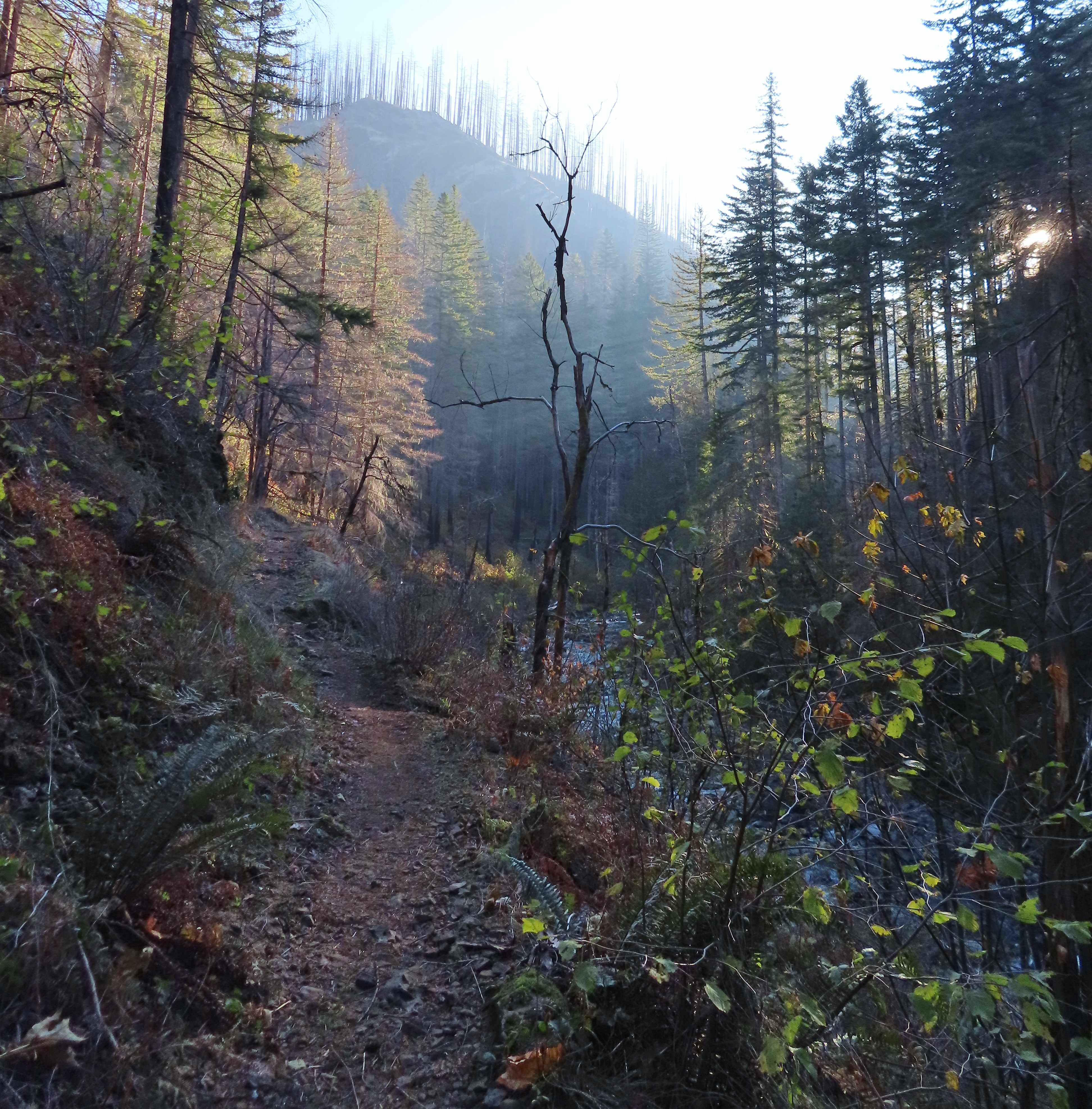
I continued along the trail chasing the Sun past Wy’East Camp and to the Mark O. Hatfield Wilderness boundary.


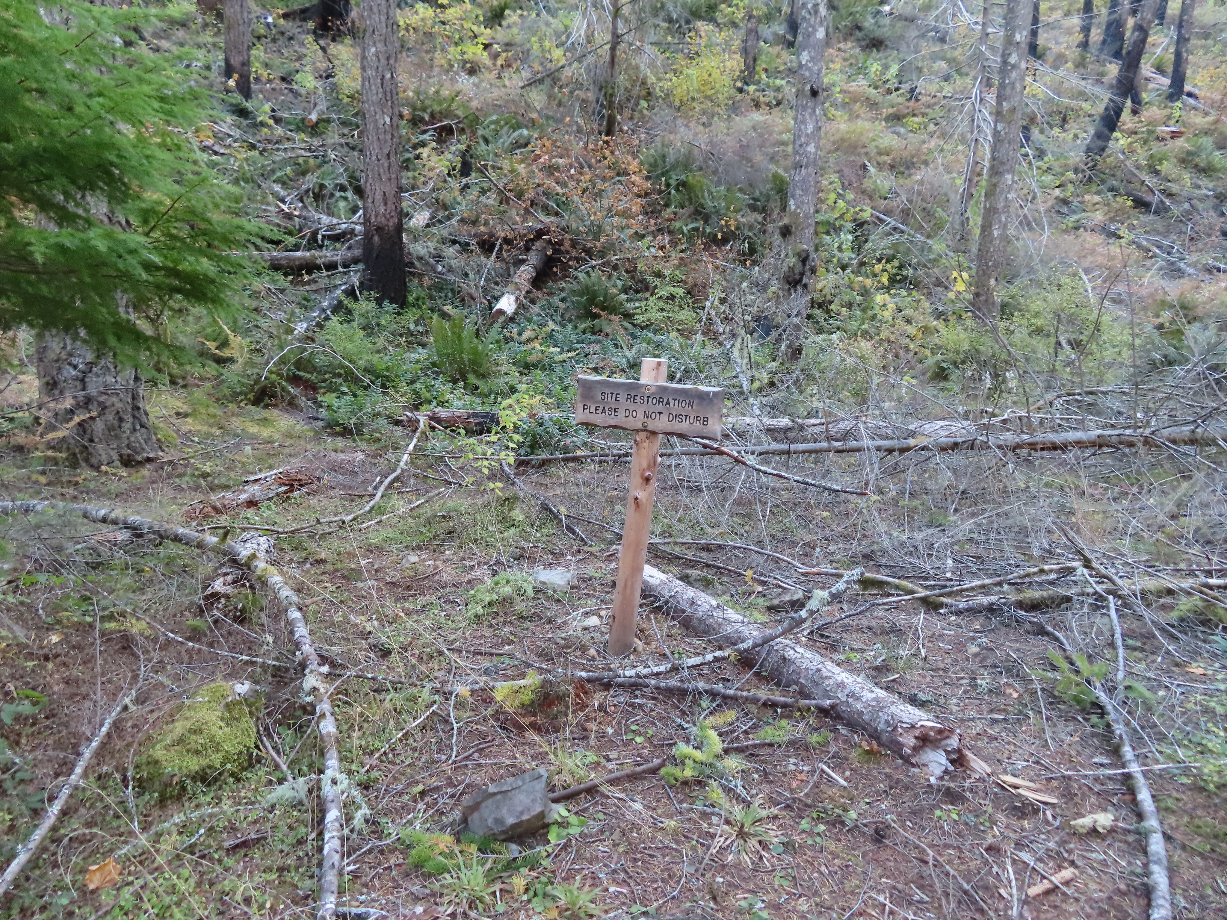 The sites on the East side of the trail were posted closed for restoration at Wy’East Camp.
 The wilderness begins a little over 5.5 miles from the trailhead.
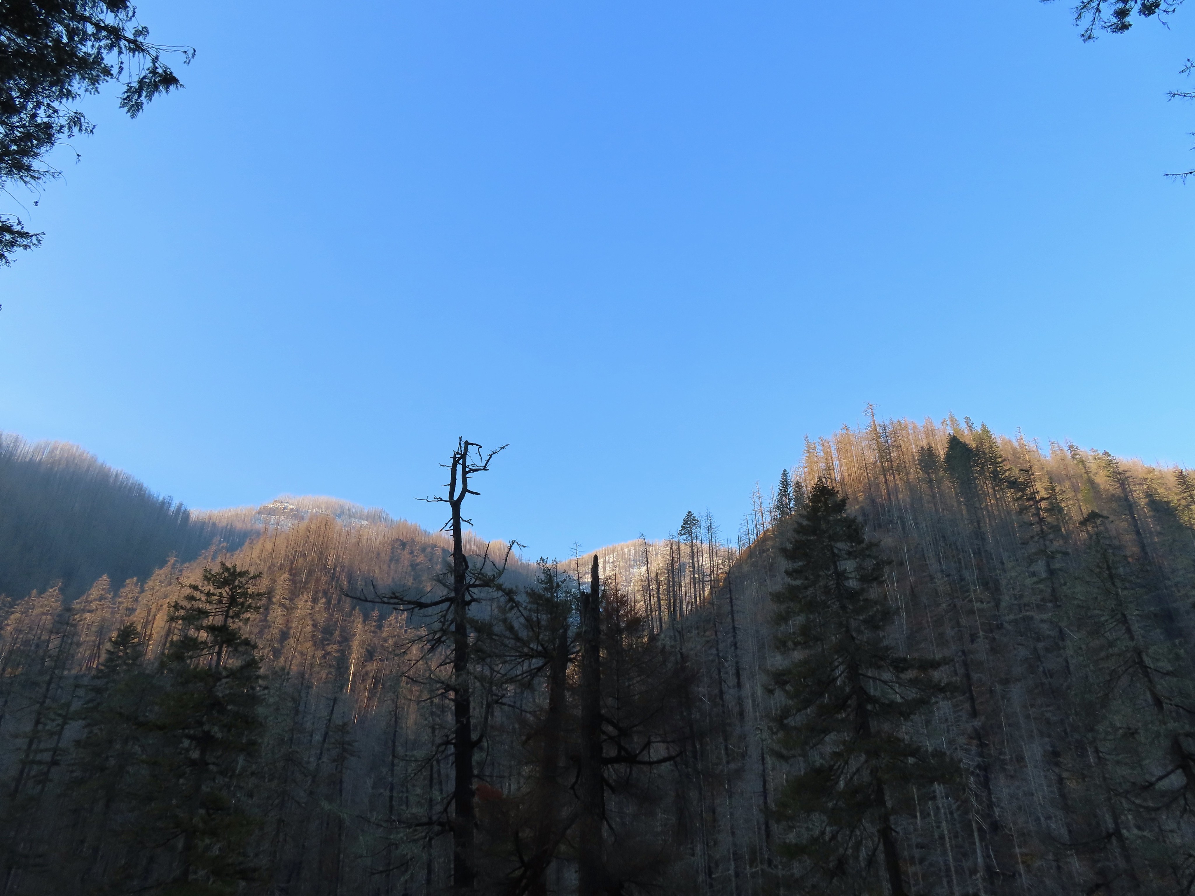
 A bluebird sky above a few green topped trees.
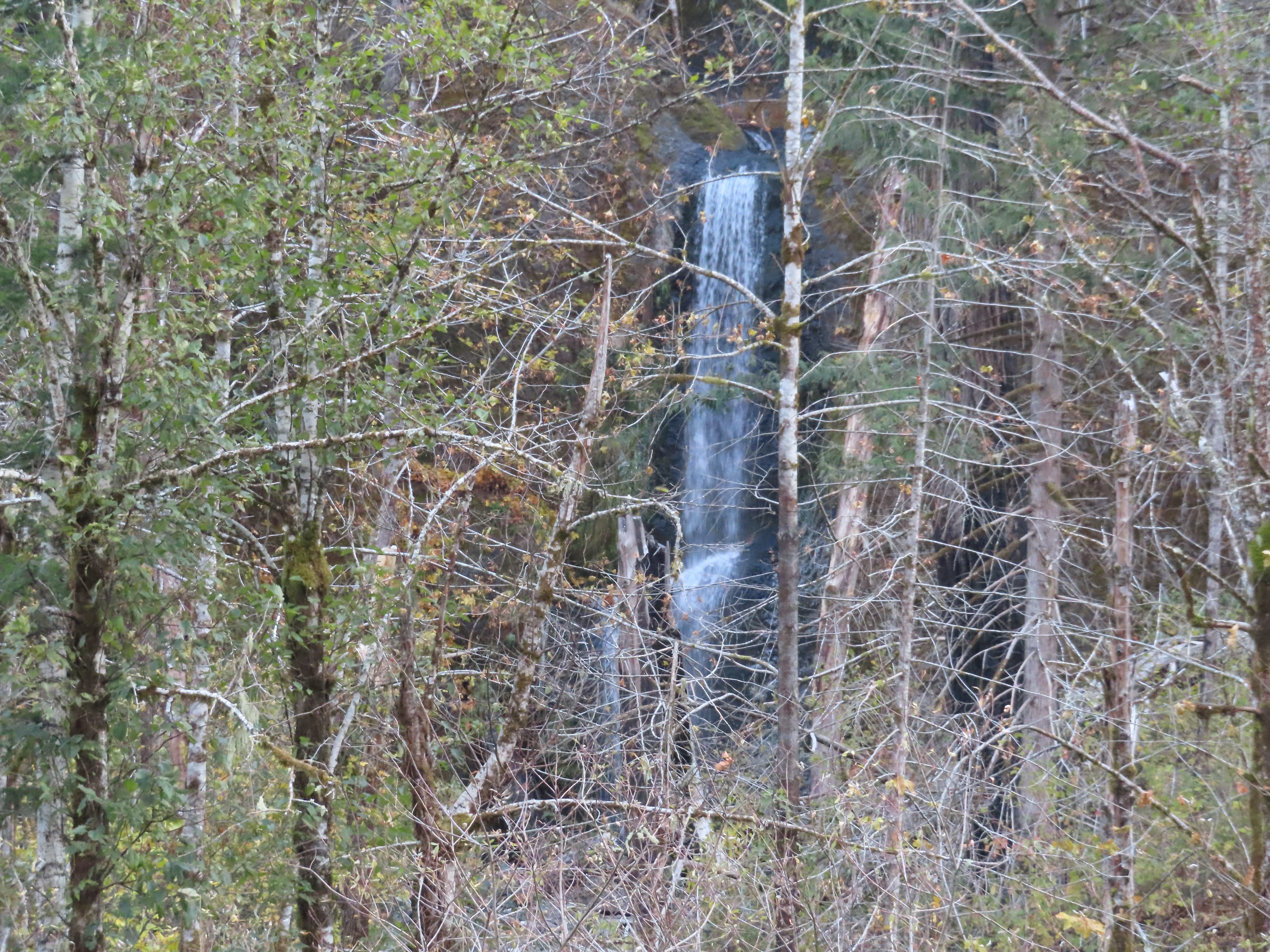
Next up was Wy’East Falls which was more visible than before as well from the trail. I opted not to attempt to get closer to the falls this time due to not being able to pick out the route we had taken on our previous visits.


I continued on from Wy’East Falls enjoying the wonderful weather.
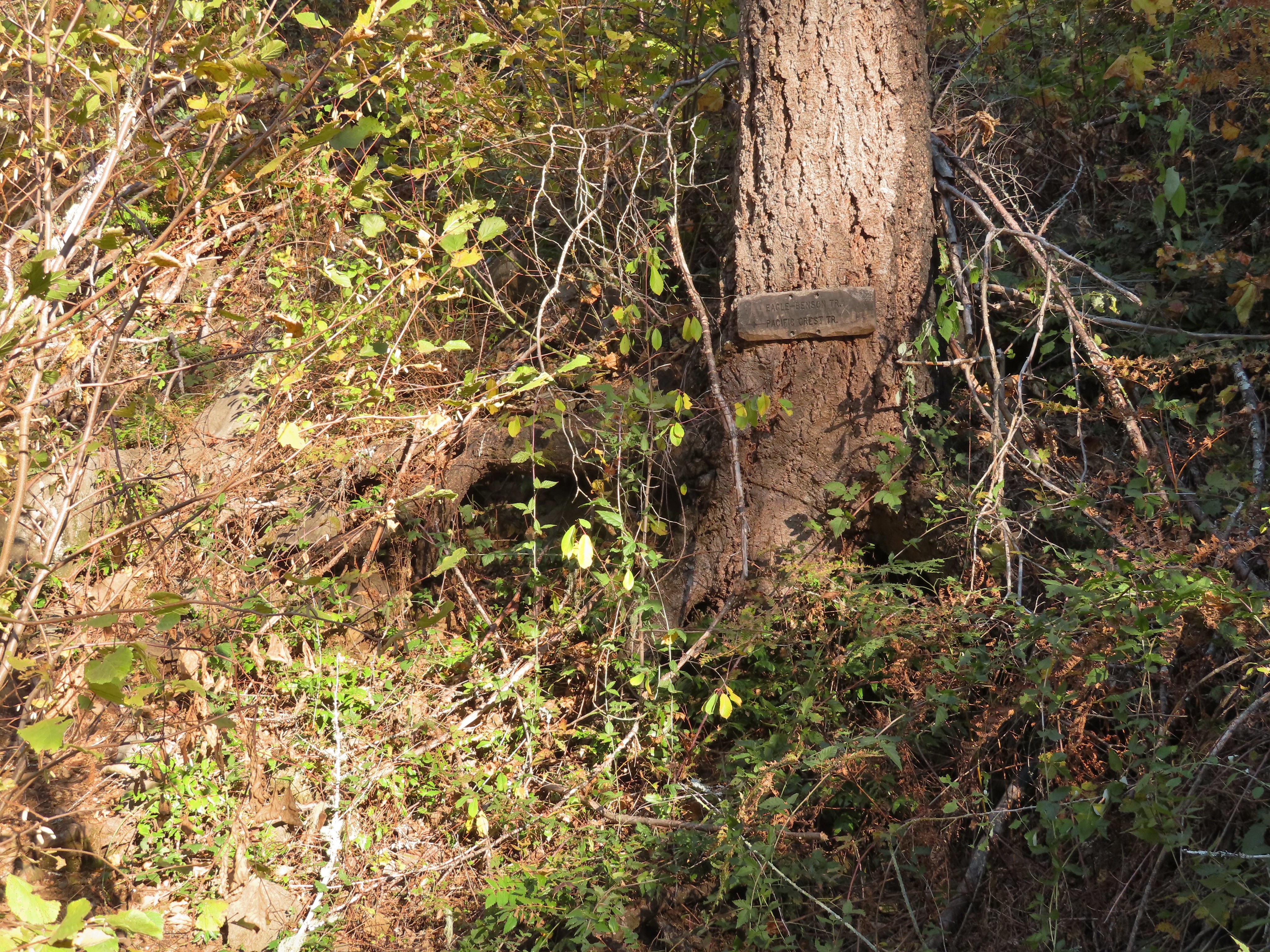 Near the six-mile mark I passed the signed Eagle-Benson Trail which hasn’t been maintained since the fire, in fact the sign was the only sign of a trail here.
 Sunrays over Eagle Creek.
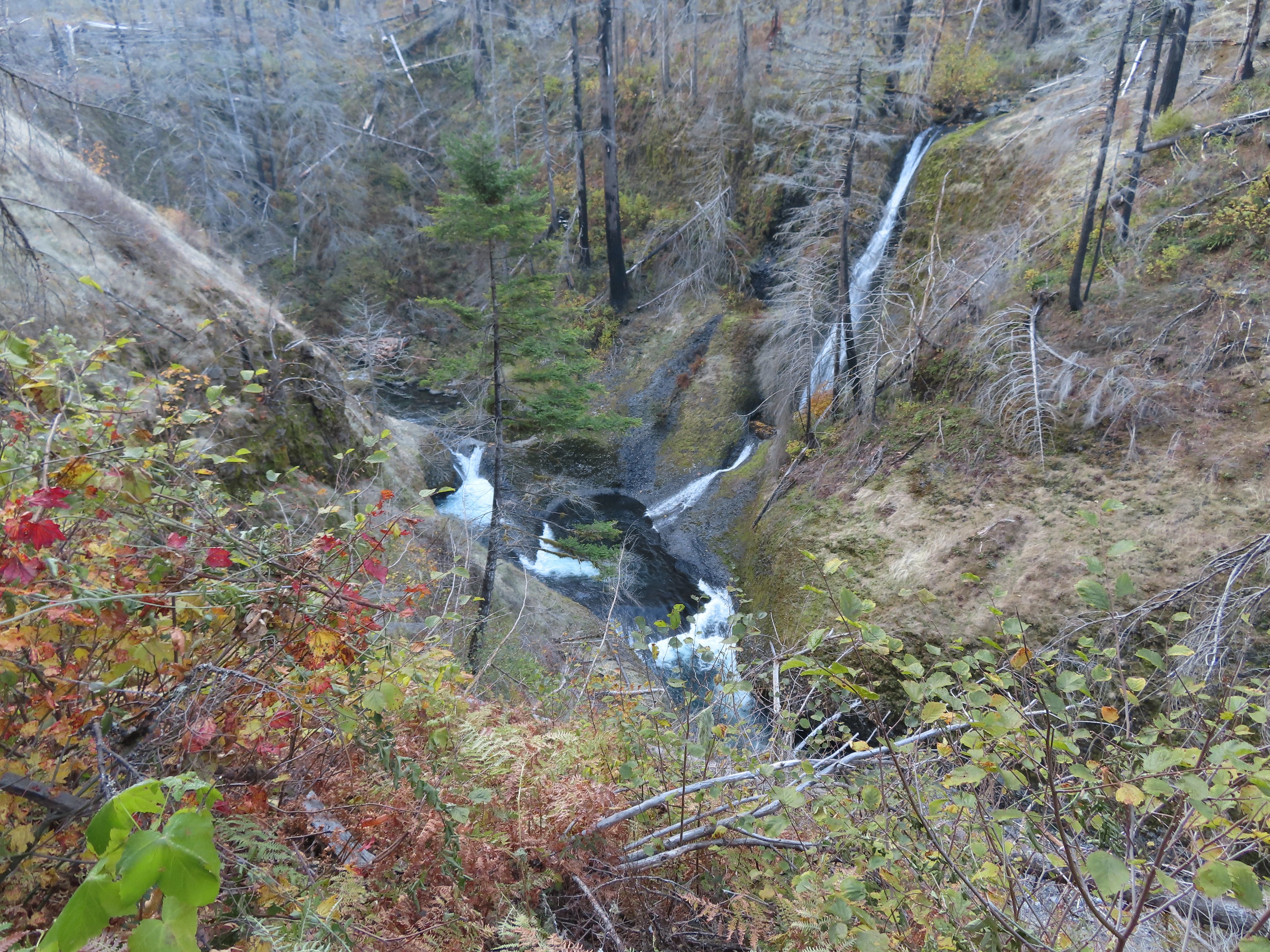
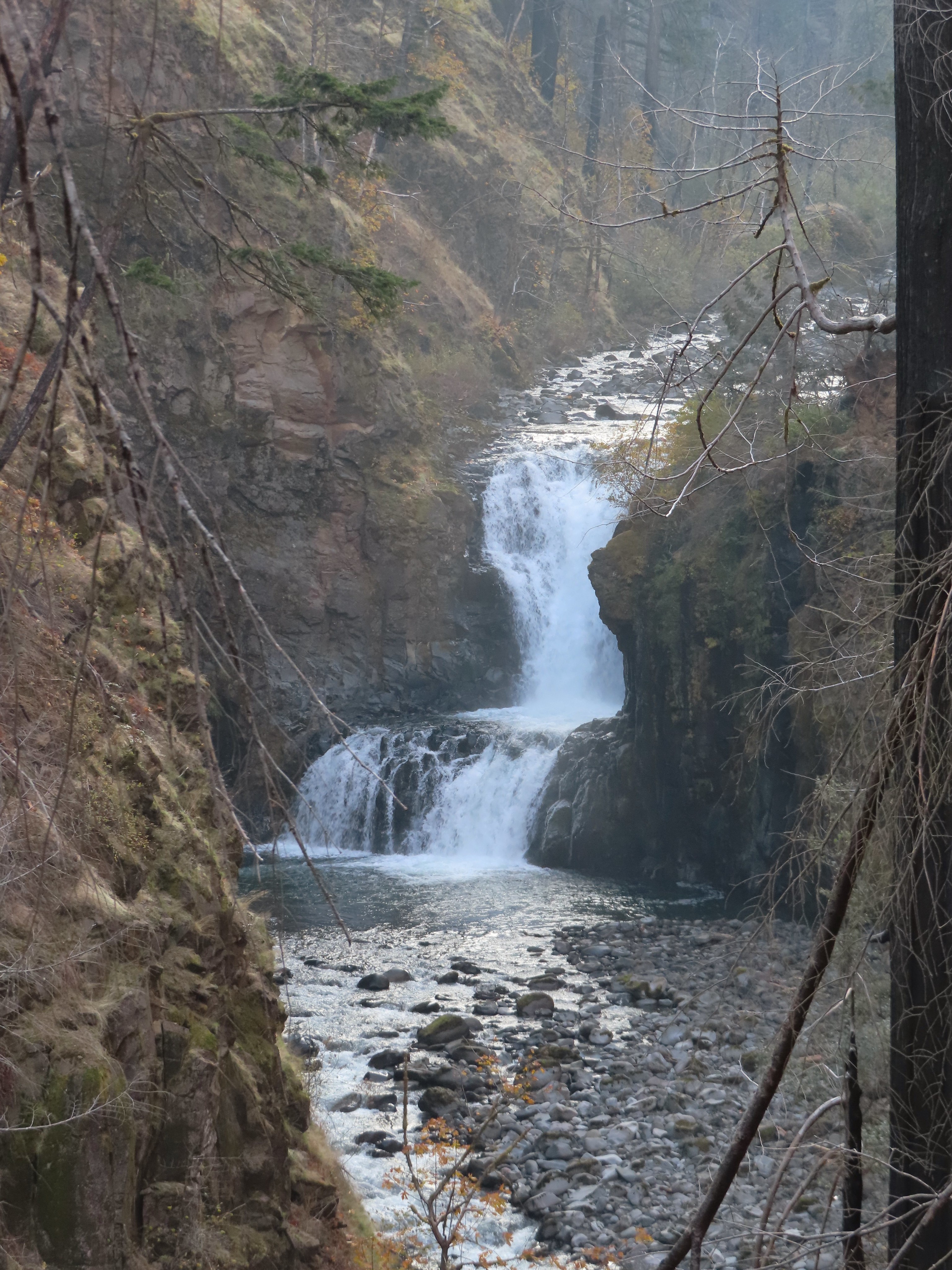
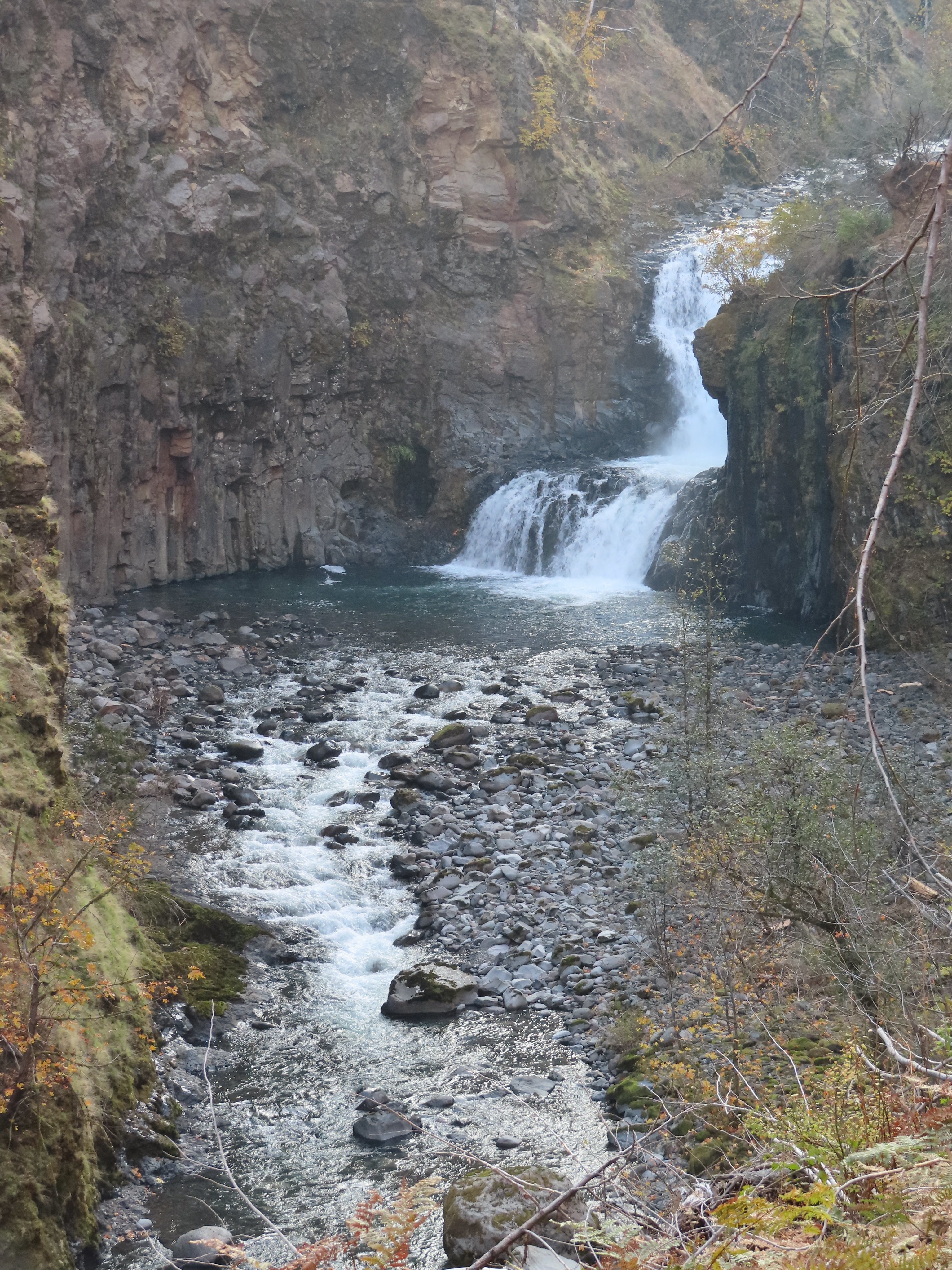
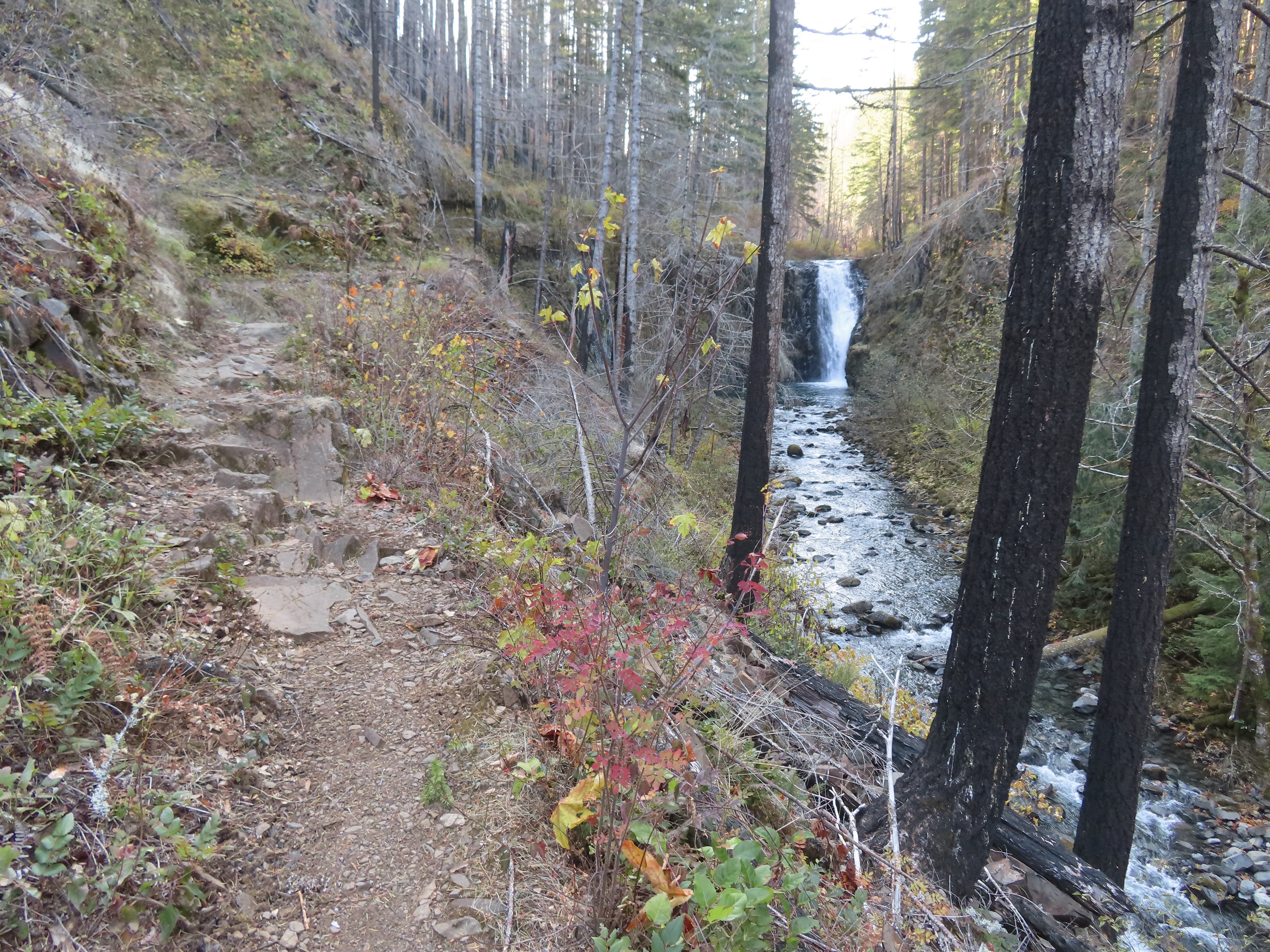
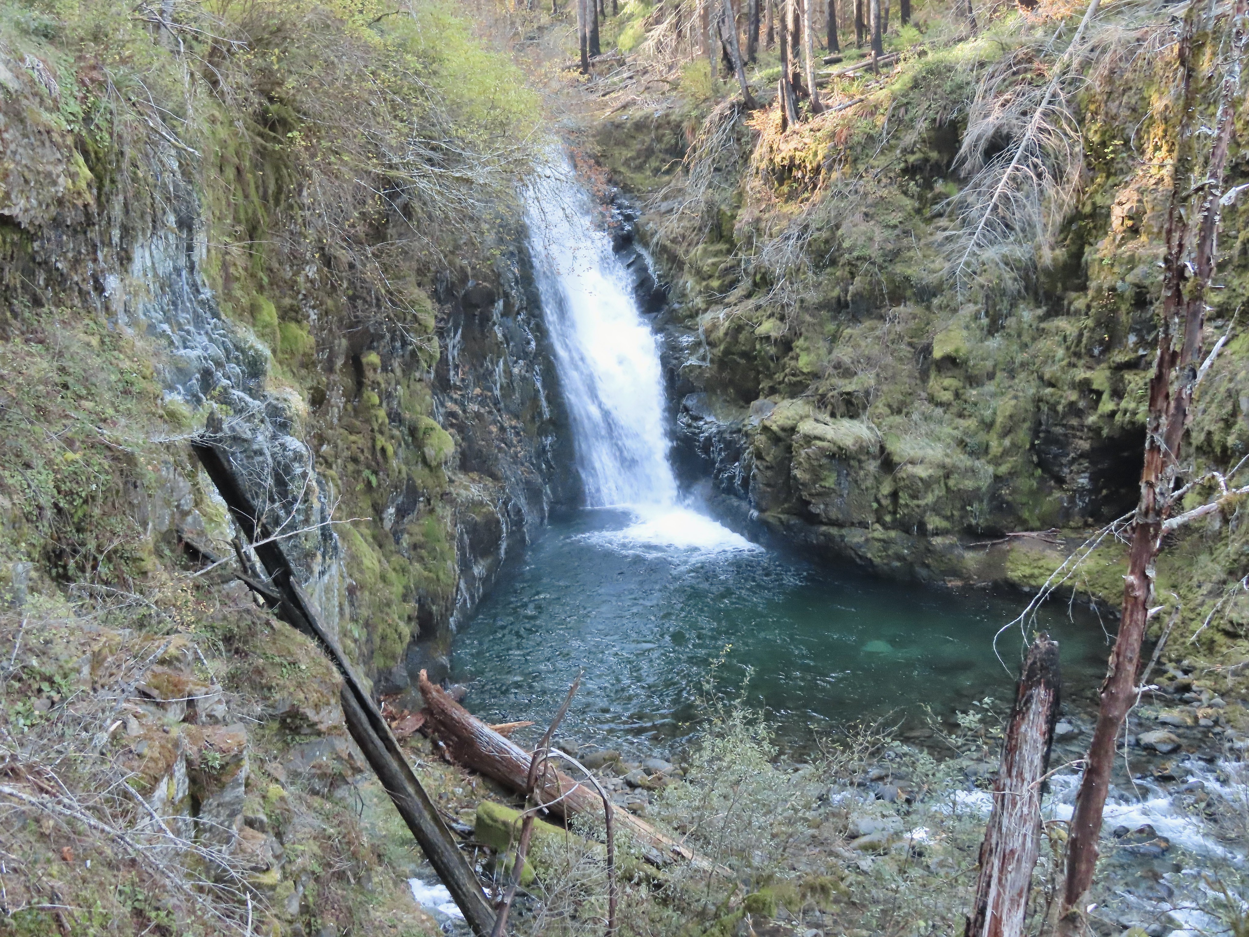
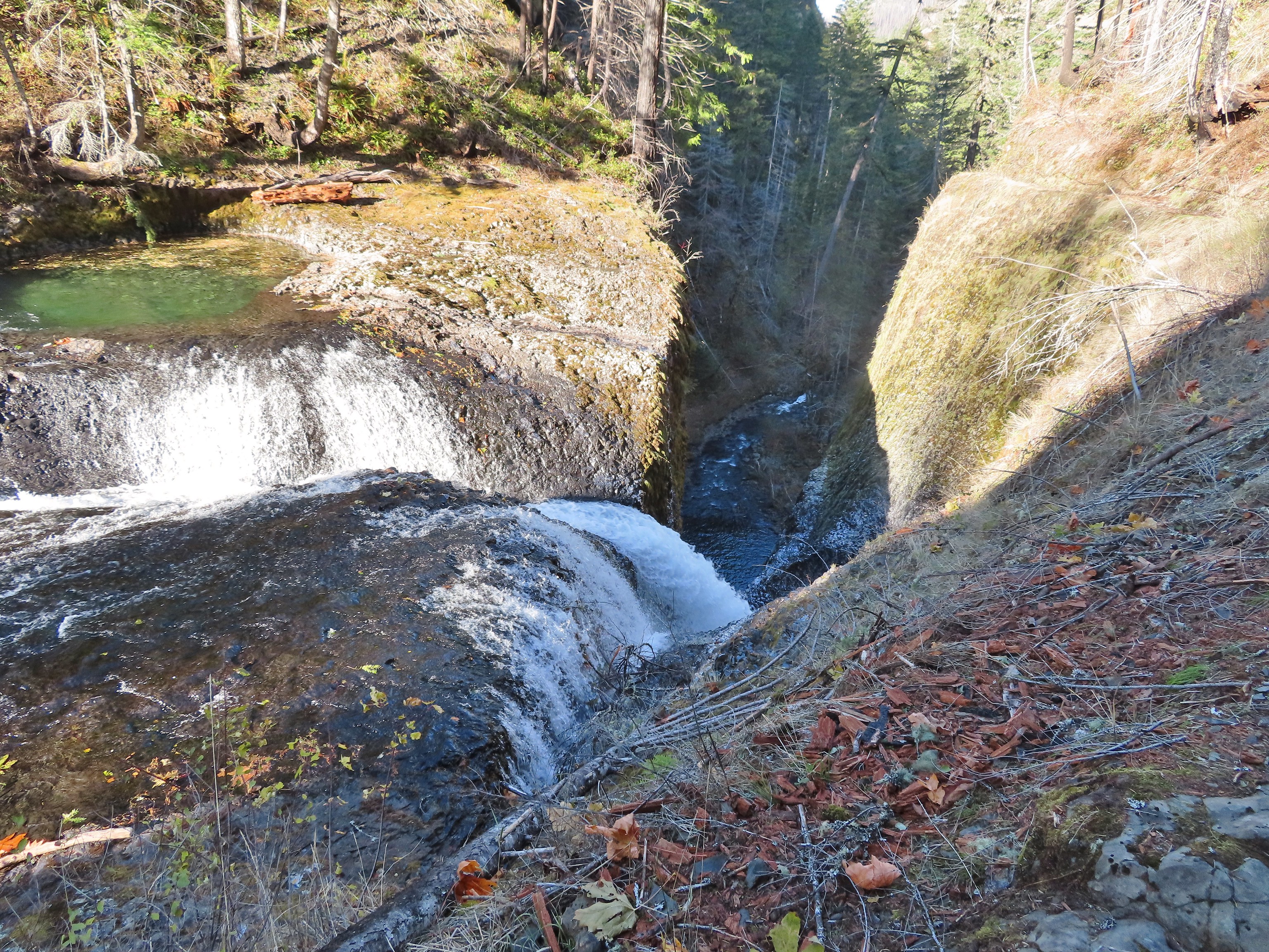
At the 6.5-mile mark I got a good look at Grand Union Falls.
 Note the hexagonal shape of the basalt columns making up the trail surface here.
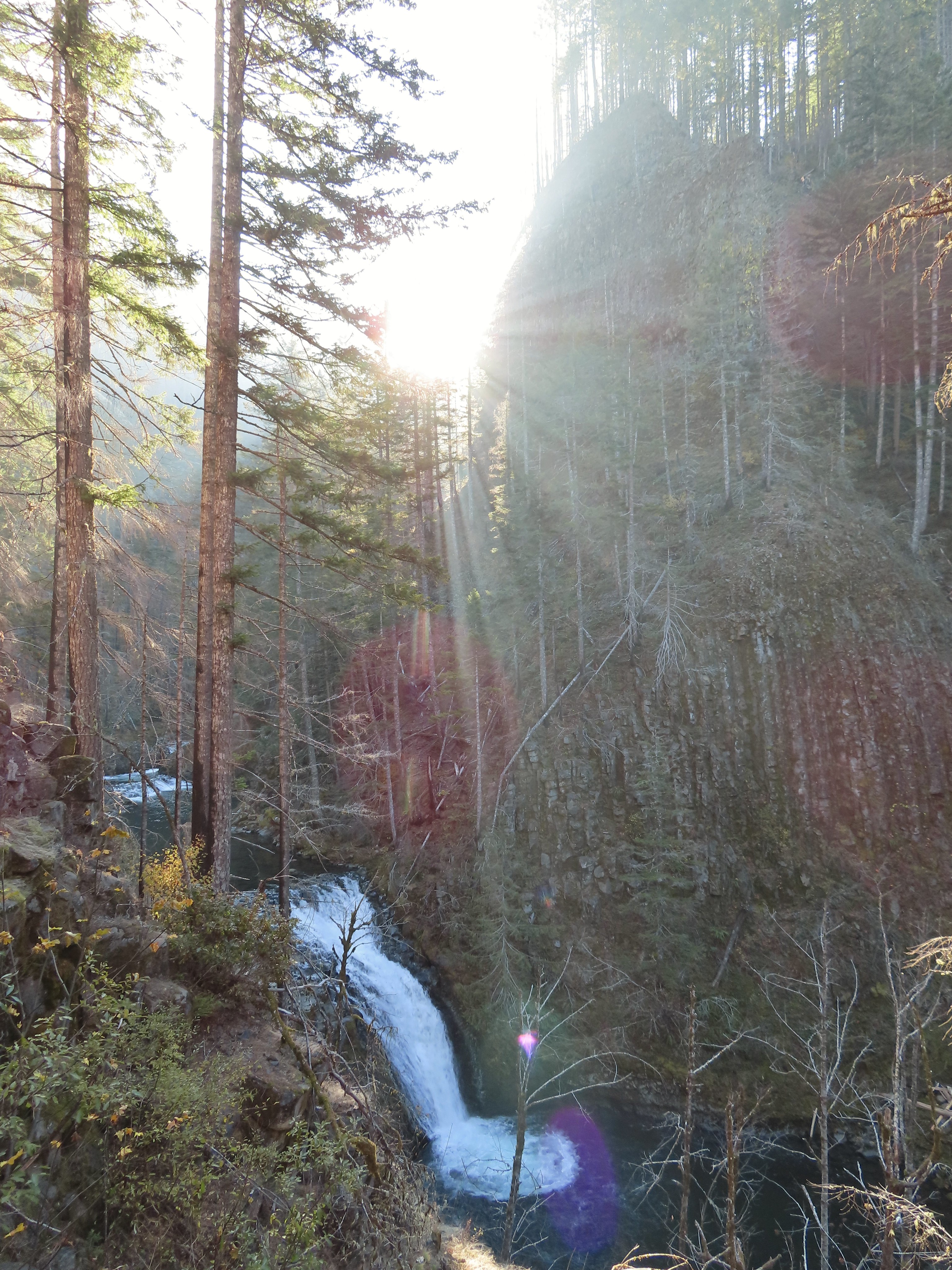 Grand Union Falls
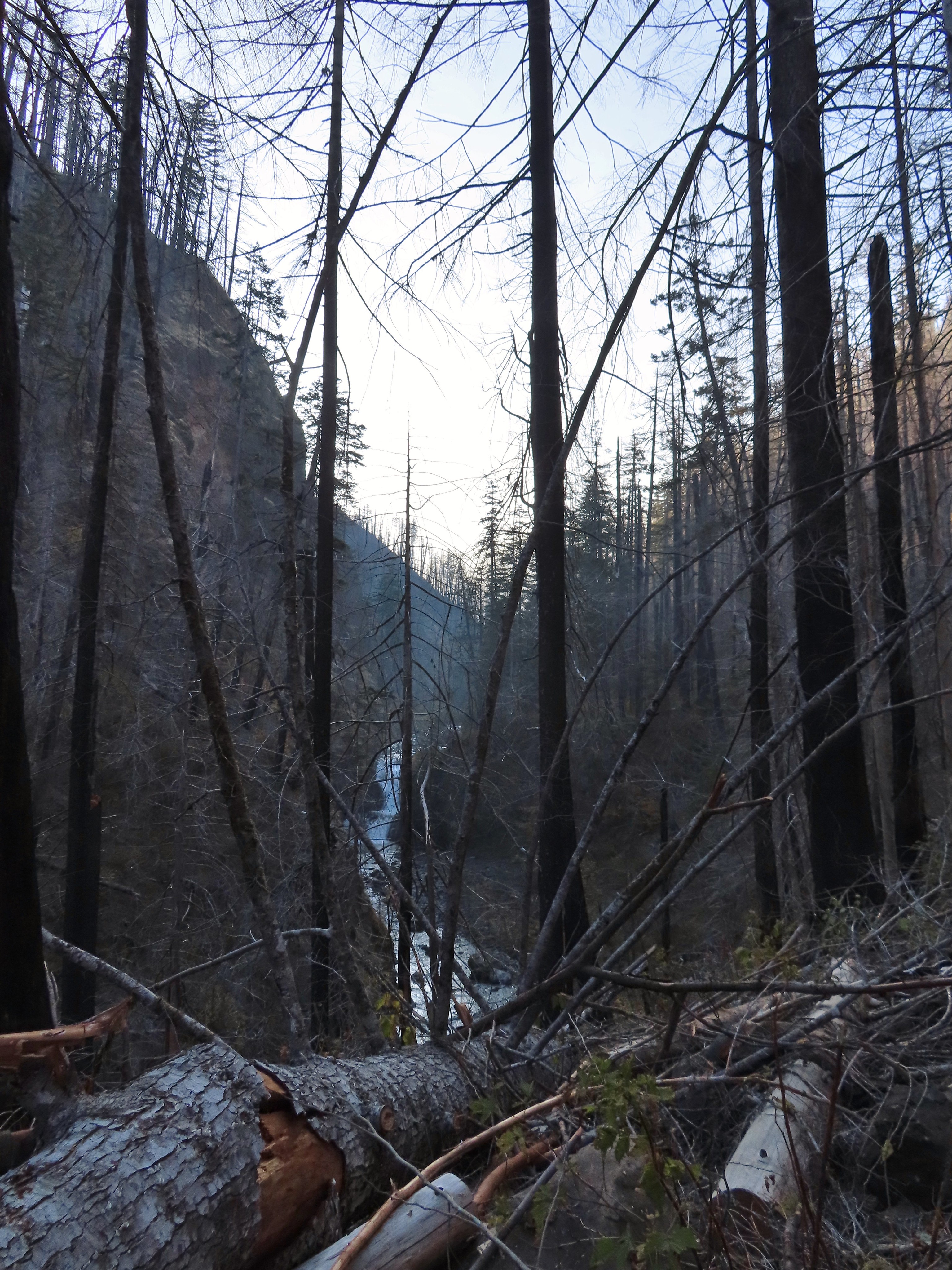
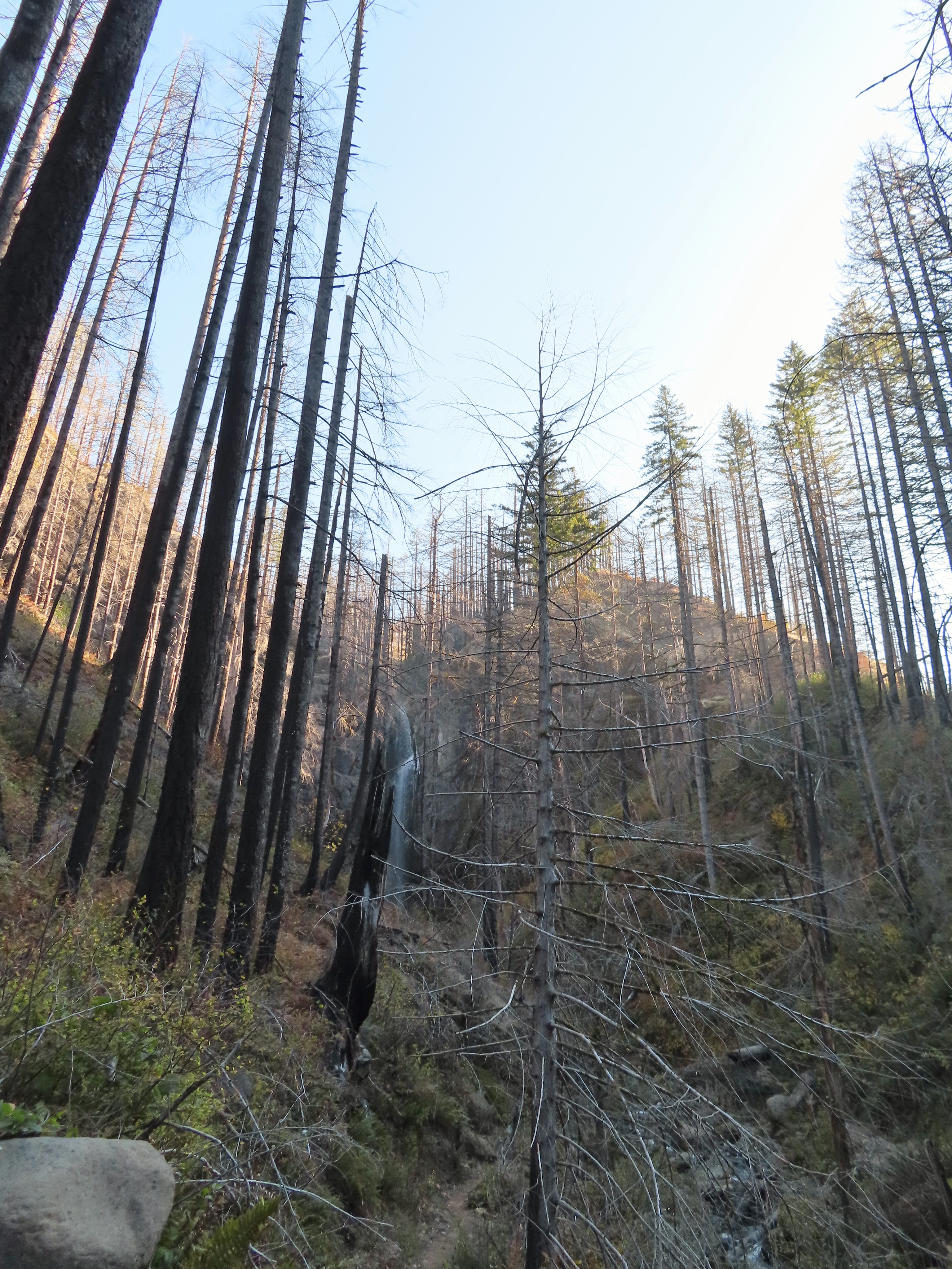
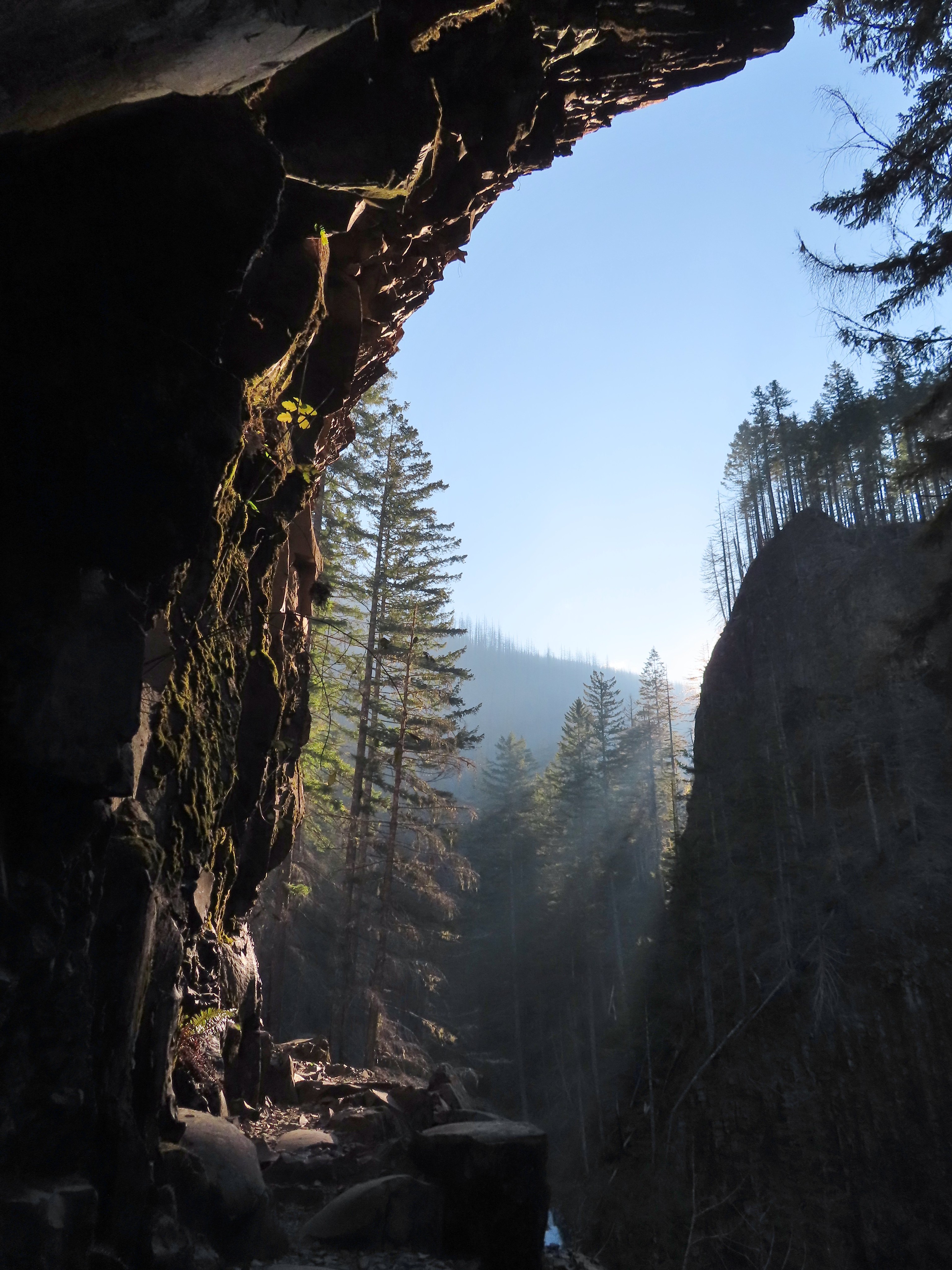
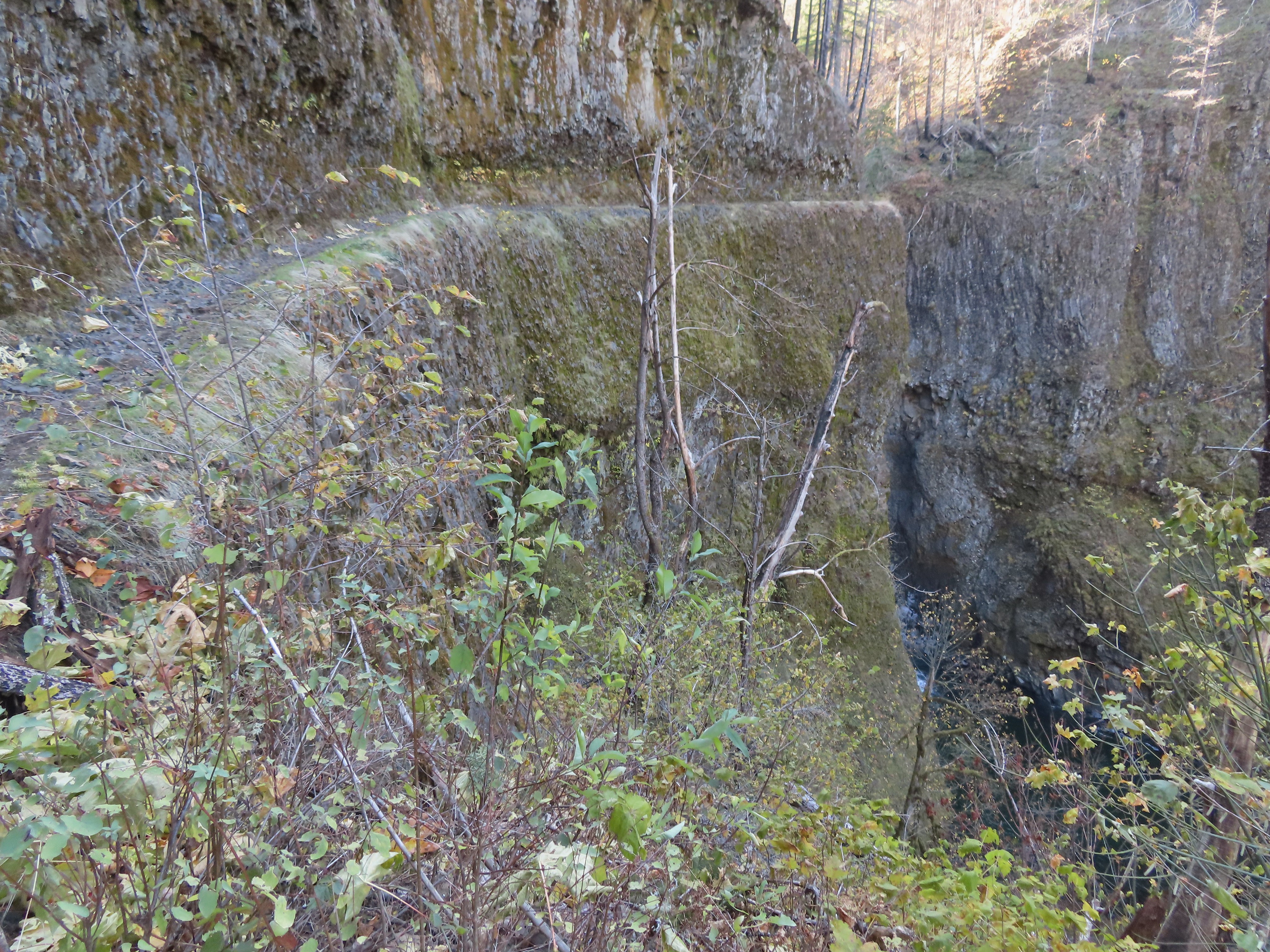
Not far past Grand Union Falls I got my first glimpse of Tunnel Falls in the distance through the trees.

The falls disappear as the trail gets closer then after rounding a corner they are back.
 Tunnel Falls on East Fork Eagle Creek.

The trail passes behind the falls in a tunnel built in the early 1900’s (pre-1920).

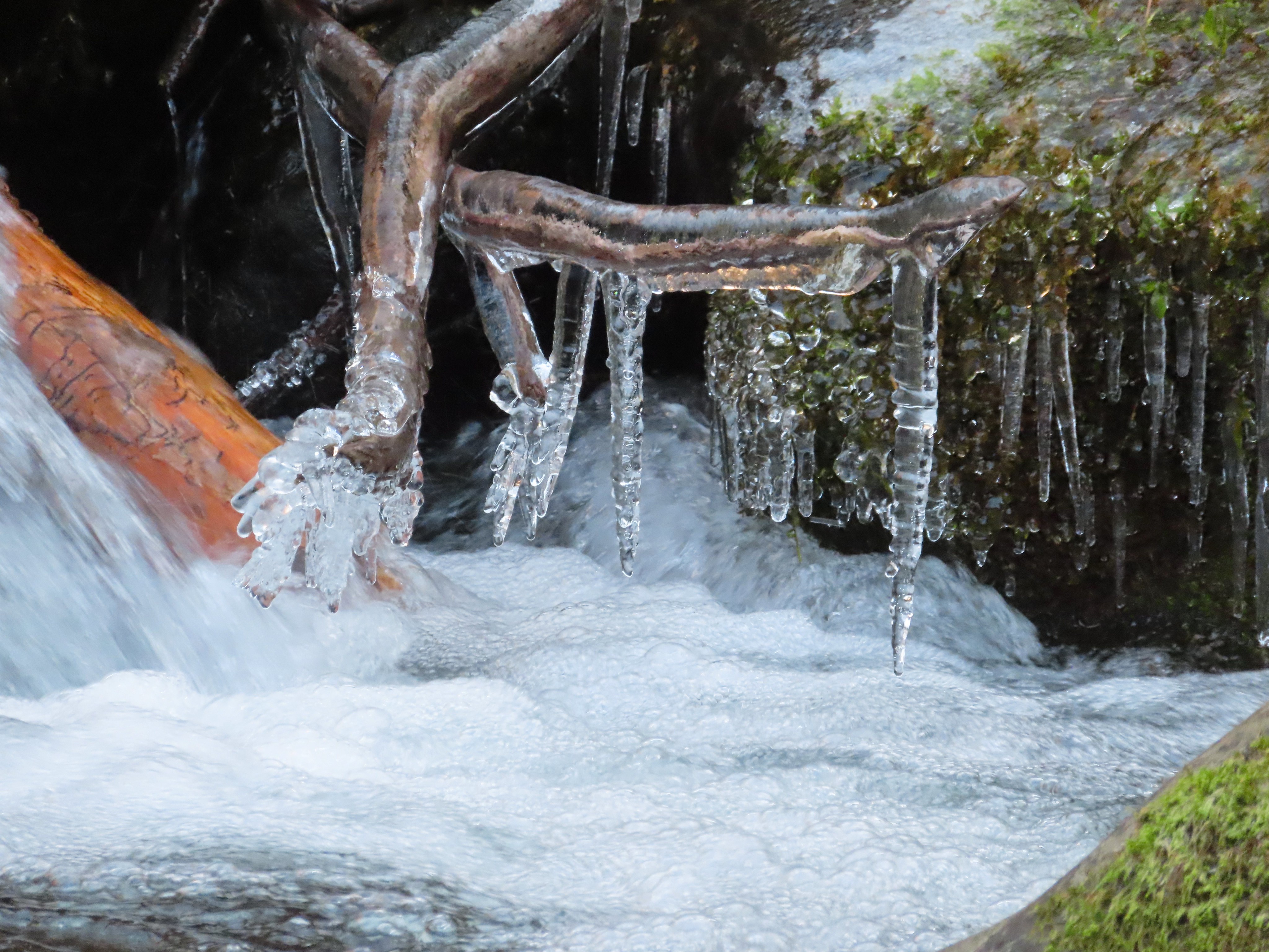
 I had brought my micro spikes just in case, but even though there were some impressive ice features there was enough good footing (and cable) to not require putting the spikes on.
 The slickest section was exiting the tunnel here.


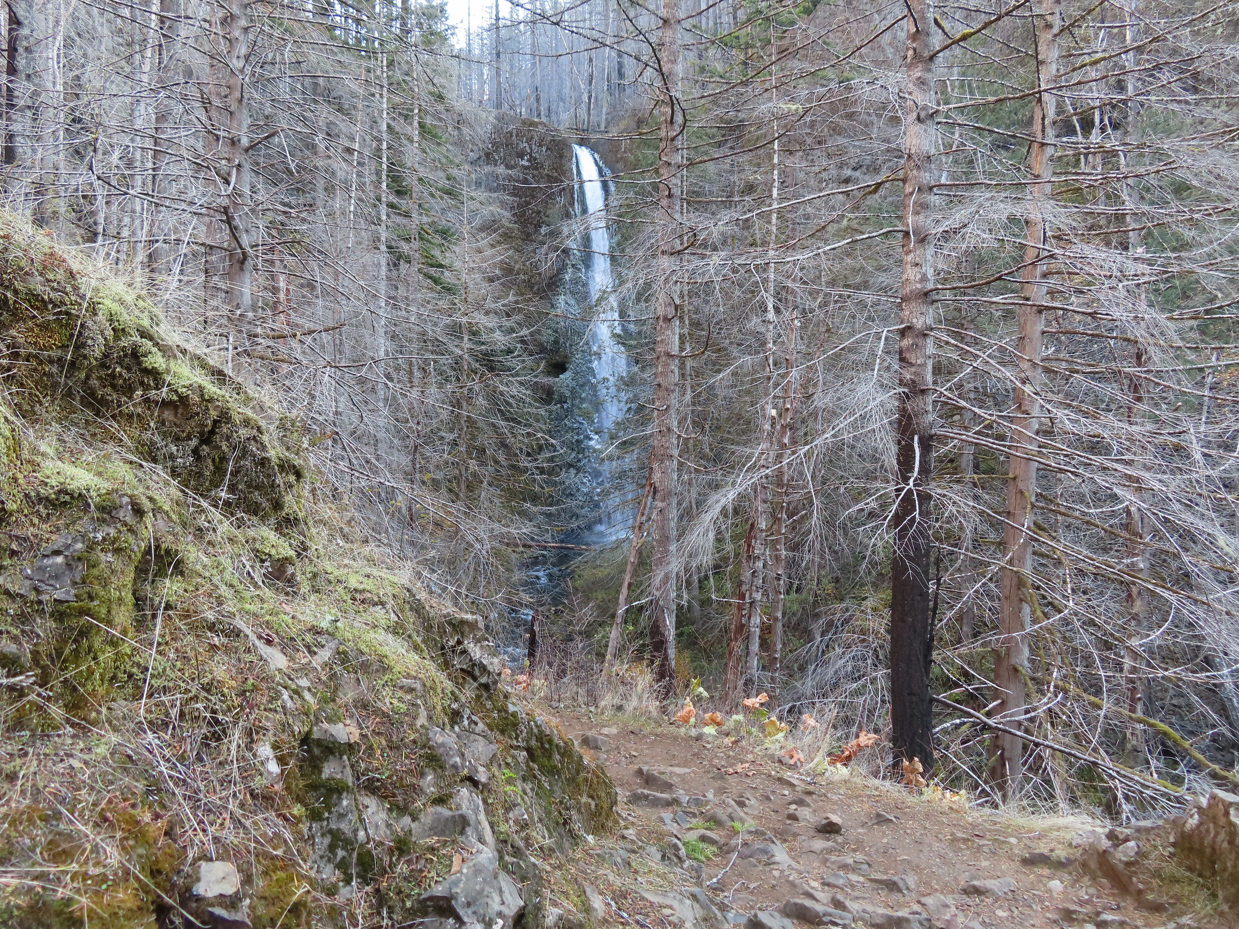
With the ice situation being manageable I continued on beyond Tunnel Falls to Twister (or Crossover) Falls just a short distance upstream on West Fork Eagle Creek.

 No ice on this section which was welcome because it can be intimidating anyway.
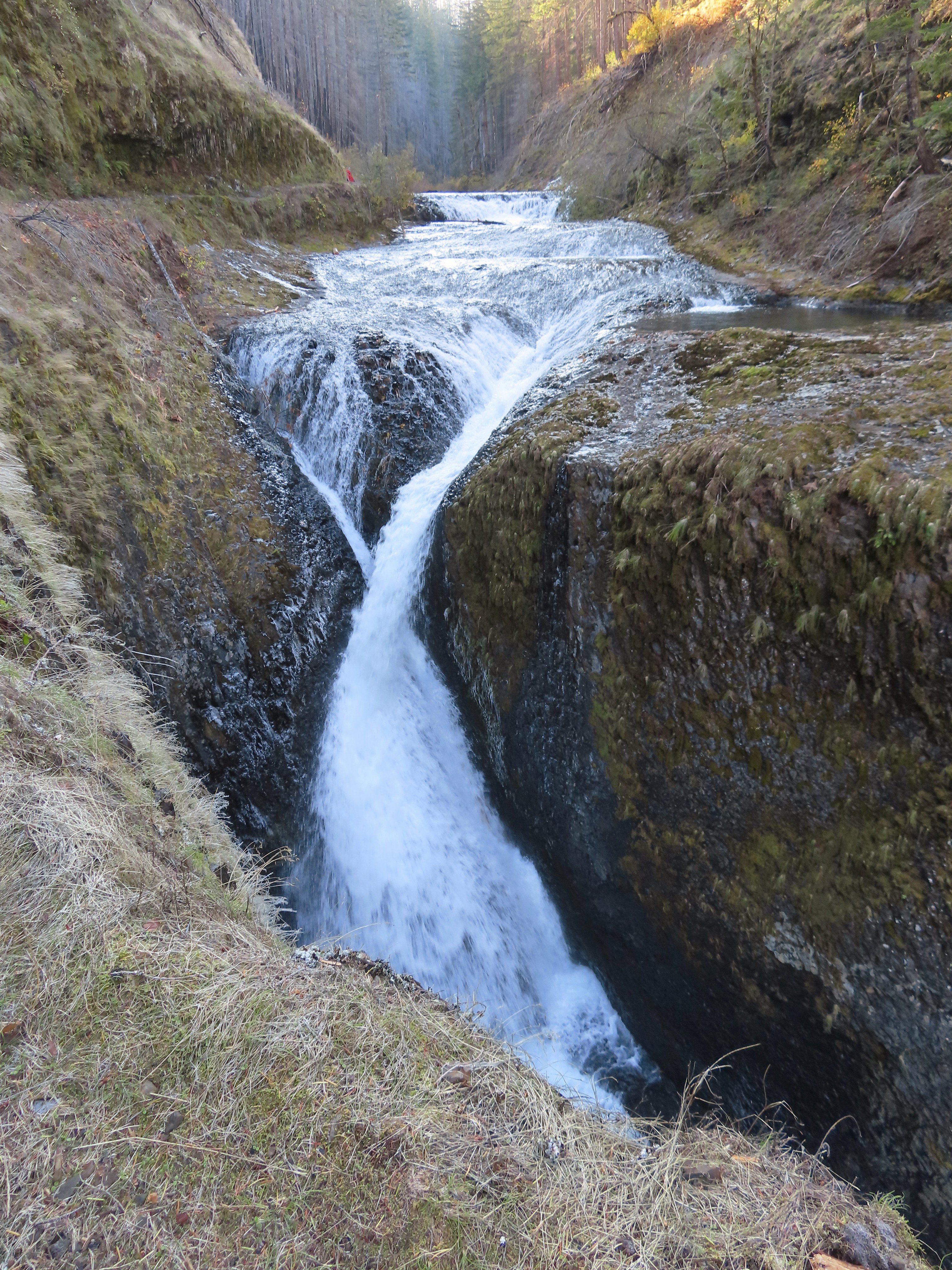 Twister Falls. There is another hiker ahead on the left.
The section passing Twister Falls was the one that I had been most concerned about ice on. I assessed the situation and decided that with care it was passable and continued on.
 This was the trickiest section but again there was just enough good footing to allow passing without need spikes.
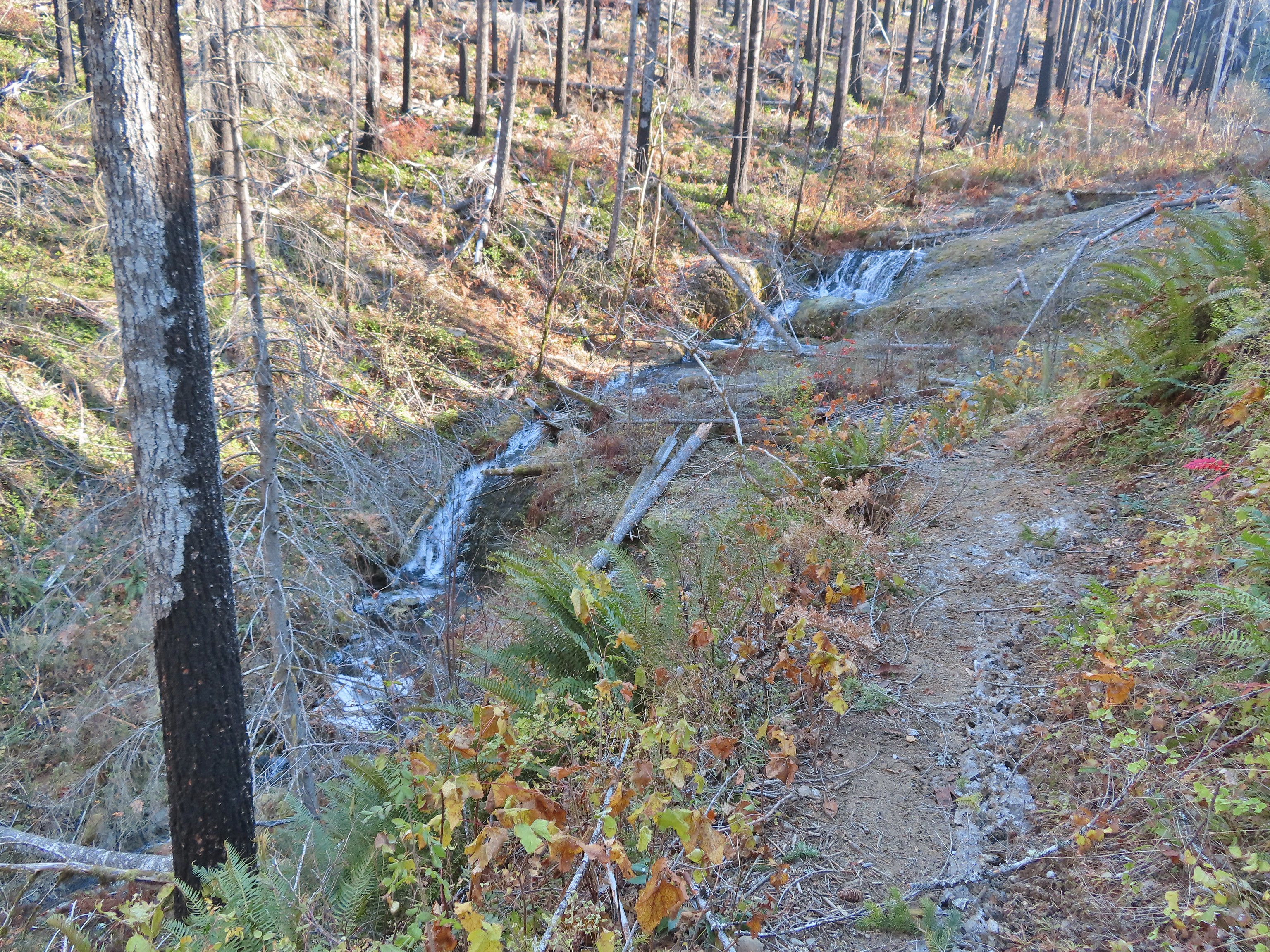
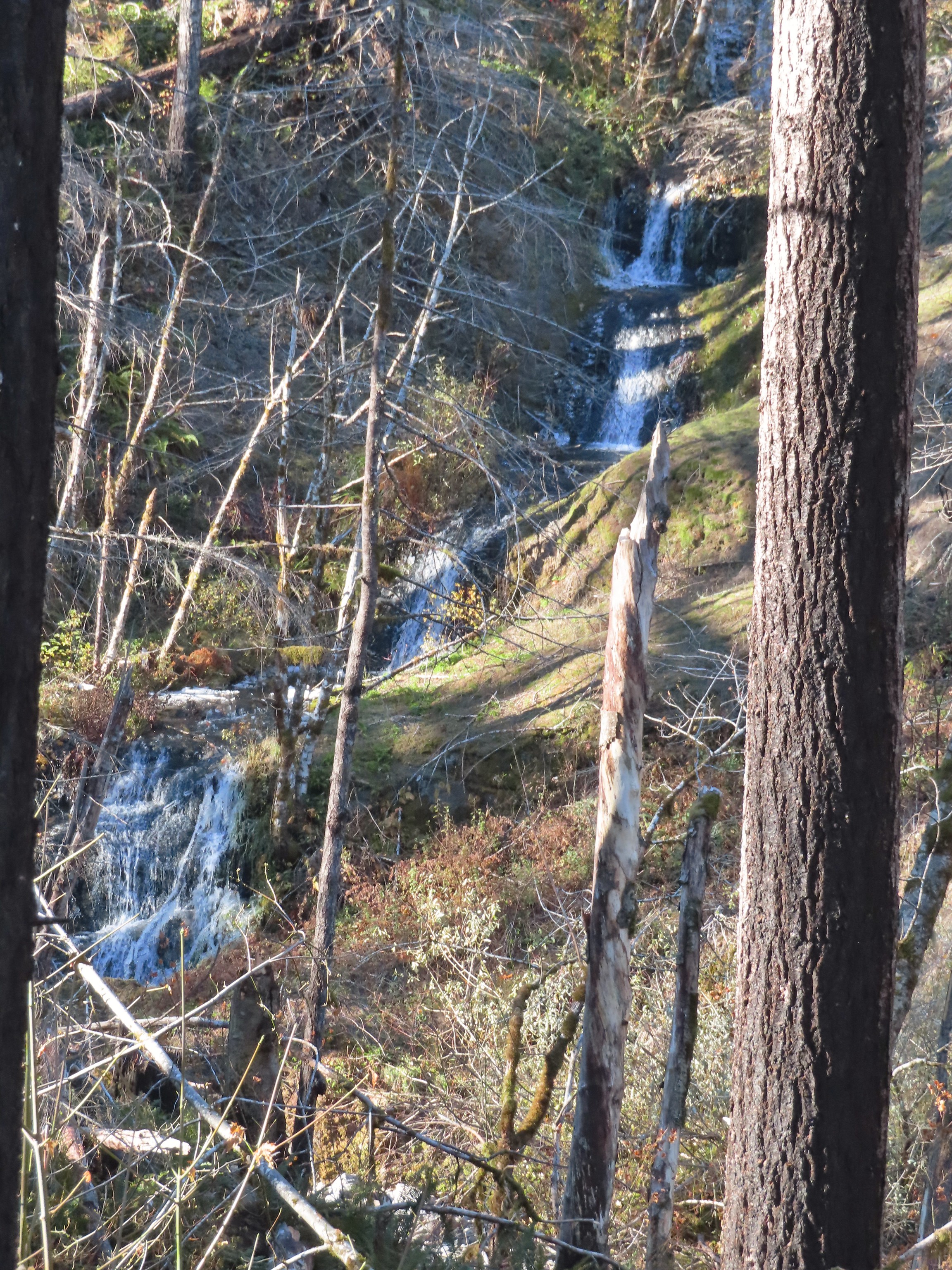
I soon found myself looking at another waterfall which turned out to be Sevenmile Falls. I had been mistakenly thinking that it was 7 1/2 Mile Falls confusing it with 7 1/2 Mile Camp.
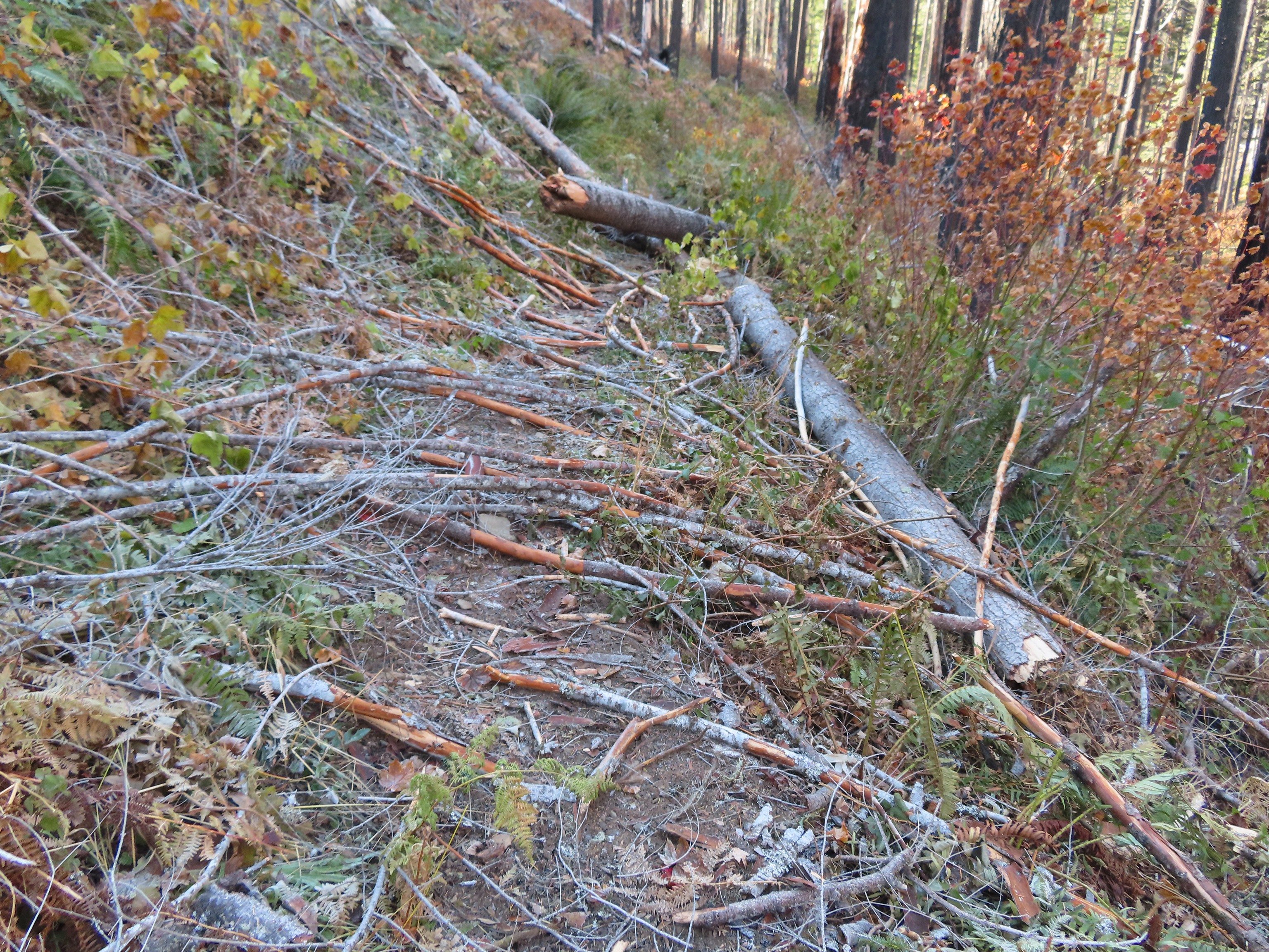
I continued on thinking that this must have been the waterfall but confused because 7 1/2 Mile Camp was still a half mile away. I decided to keep going until 10:45am or I found another waterfall, whichever came first. At this point the trail maintenance, which had been excellent up to a small slide between Tunnel and Twister Falls, really fell off.
 A bit more overgrown here.
 Hair ice, only the second time I’ve encountered it.
 I stopped at this campsite which some maps show as 7 1/2 Mile Camp, but I pulled out my National Geographic topo which showed the camp a little further ahead near a pair of small creeks. I think both are correct and this was just the first of the sites that make up the “camp”.
 Eagle Creek near the first campsite.
It was only 10:15am so I kept going, now thinking that I would either turn around at 10:45 or at the Eagle-Tanner Cutoff Trail junction which didn’t appear too far beyond the pair of creeks.
 More campsites near the first creek.
 The first small creek. This one was a lot icier than any of the other creeks I’d crossed. I was able to find enough dry rock to make my way to the other side though.
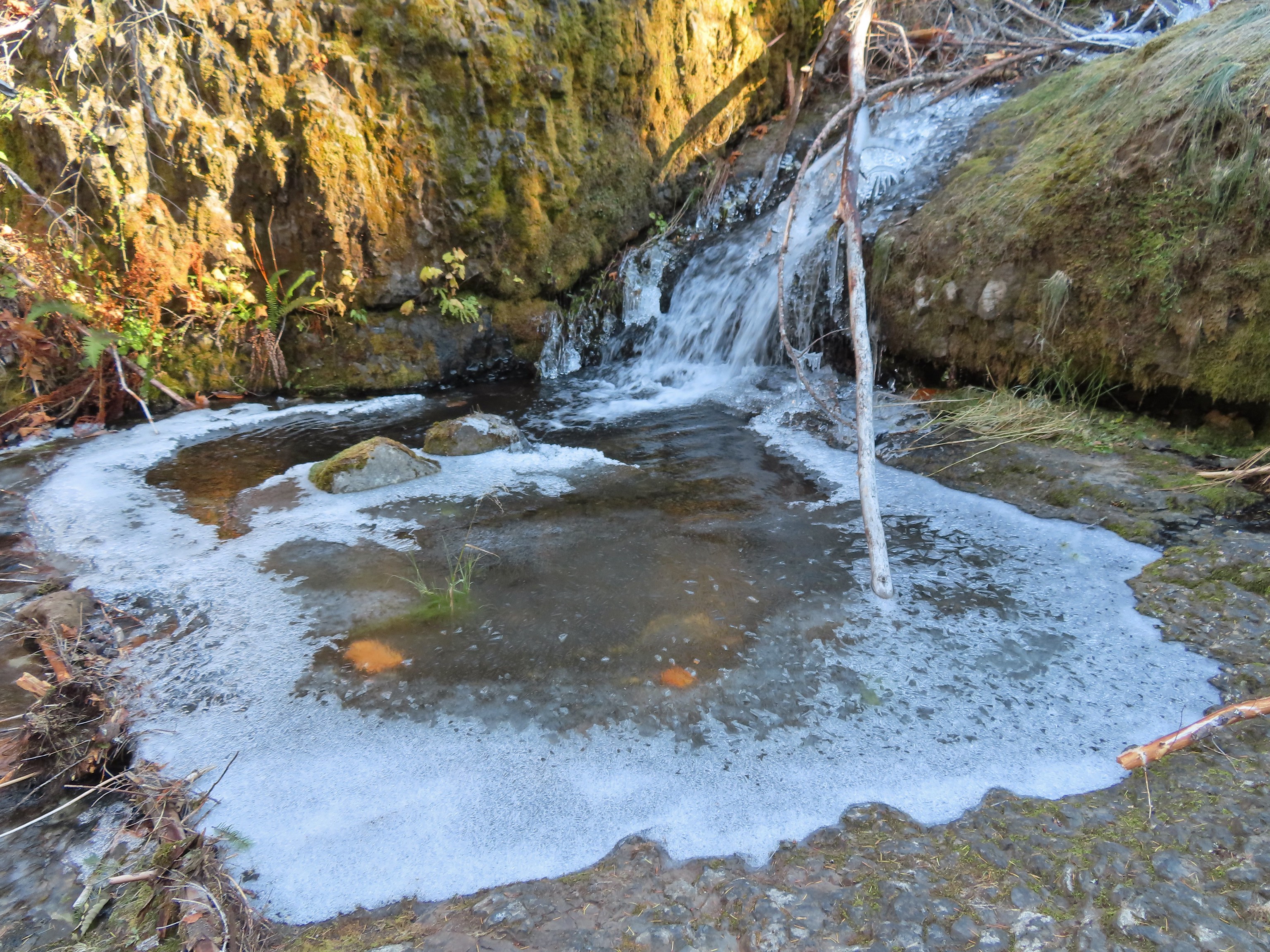

 Looking back at the creek.
The next creek was a different story though. There were no dry rocks here.

It was almost 10:40am anyway and I was now sure that the earlier waterfall had been what I was calling 7 1/2 Mile Falls where I’d intended to turn around anyway. I made my way back stopping to admire all the falls again along the way.
 This cascade was across Eagle Creek near the last campsites.
 Woodpecker
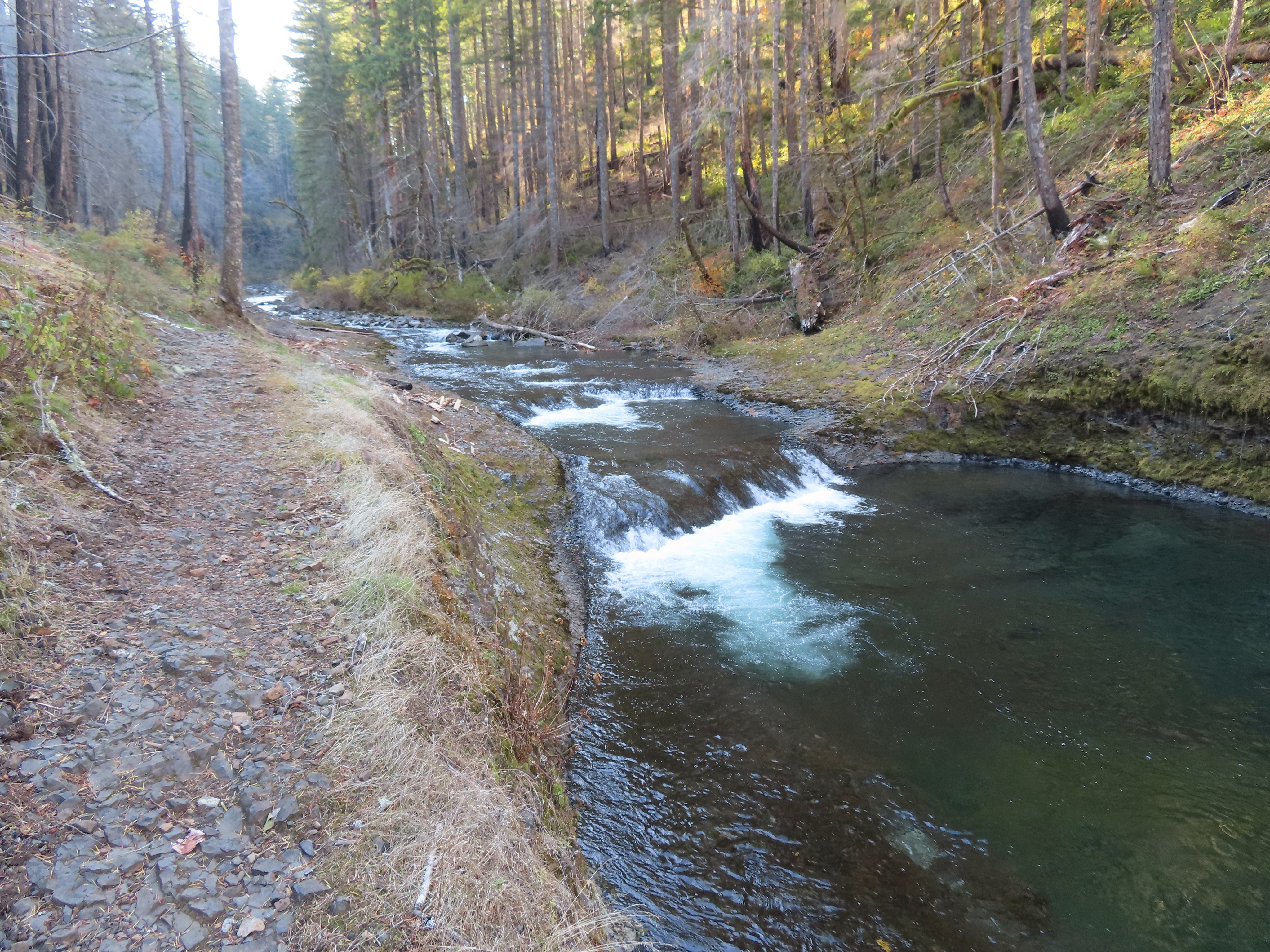
 Green pool above Twister Falls.
 Above Twister Falls.


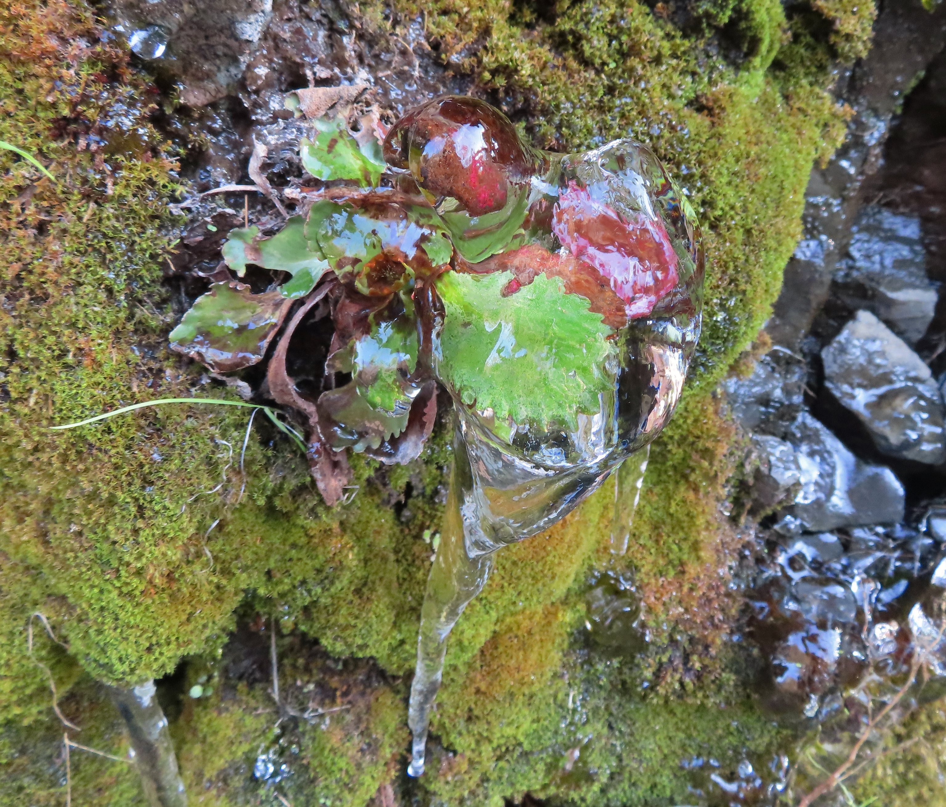 Plant in ice.
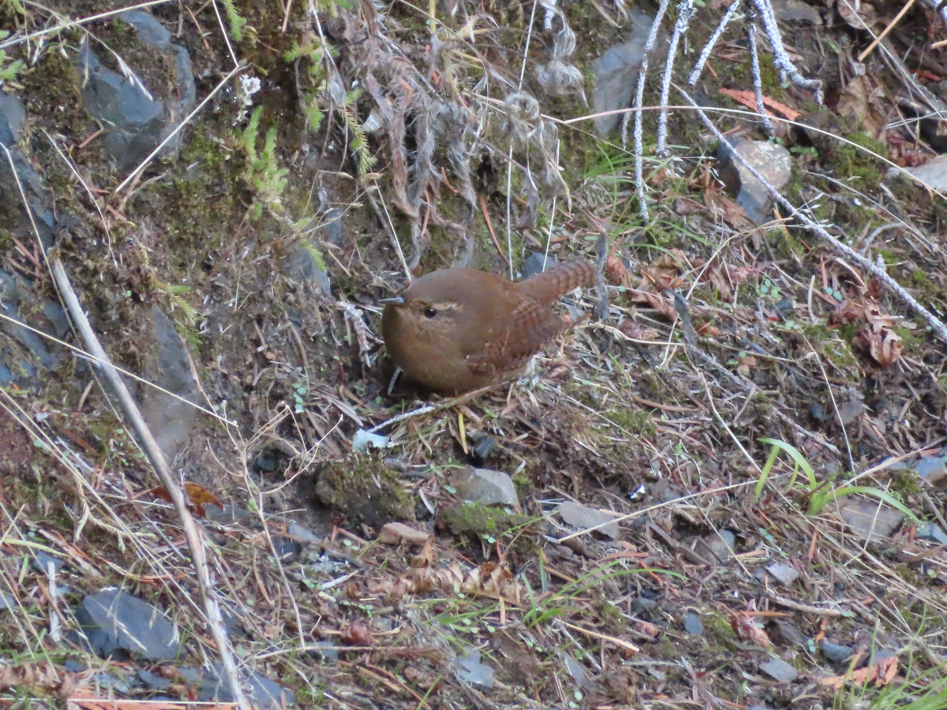 Wren
Wren


 Chipmunk

With a couple of detours my hike came in at approximately 16.2 miles with 1400′ of elevation gain.
It was a great day overall. The weather, although a bit chilly to start, was great and there weren’t a lot of other hikers out. I still passed a fair number of other hikers on my way out but nothing like it would be on a warm Spring or Summer Saturday. The falls had enough added water from recent rain/snow to be flowing better than they had been when we visited in early October which was also a plus. I missed having Heather out there with me, but it was nice to get out one last time before I turned 50 (yikes!). Happy Trails!
Flickr: Eagle Creek 2022
