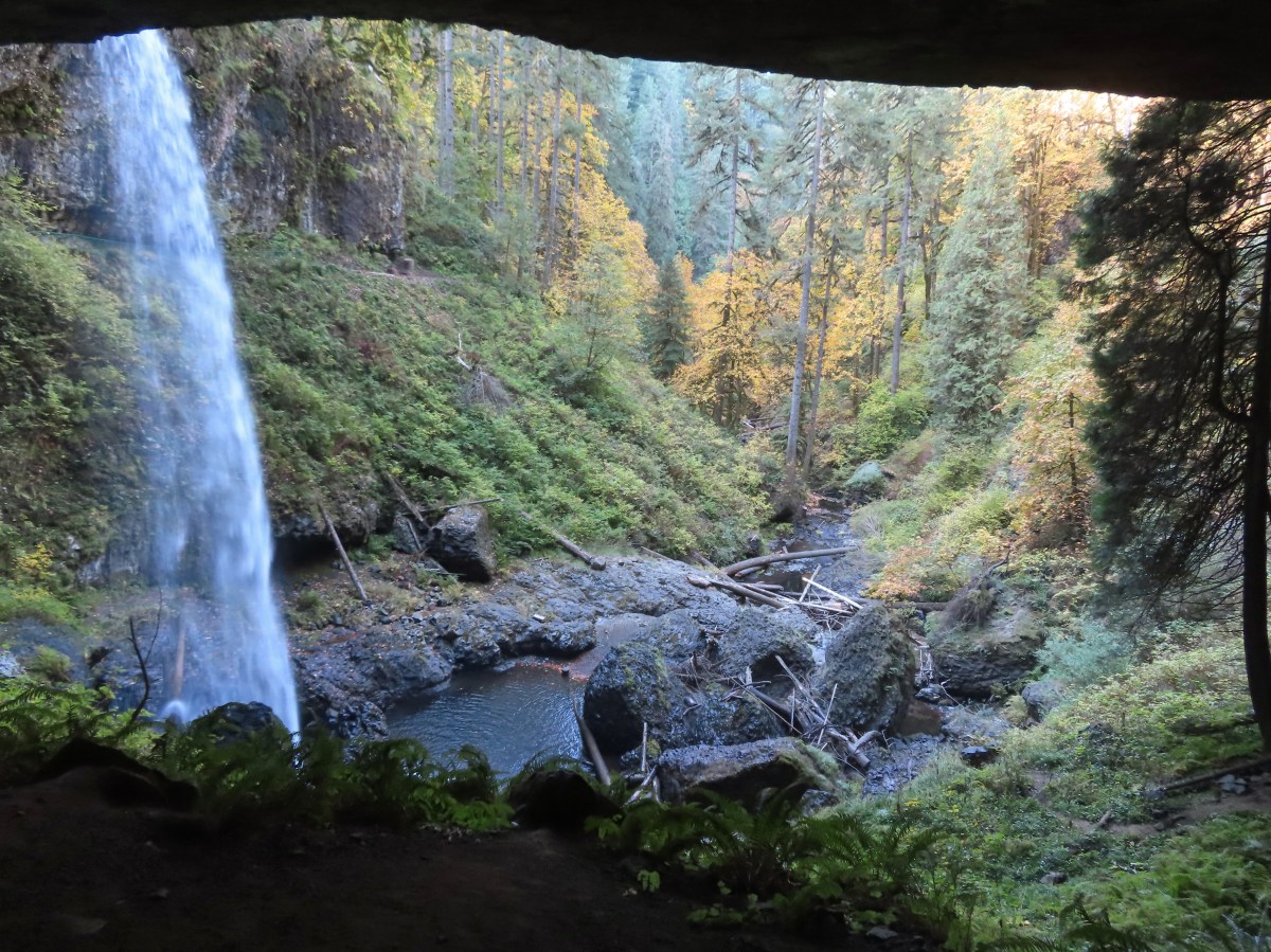
I headed out to Silver Falls State Park for a waterfall Wednesday hike. The volume of water at this time of year can vary greatly depending on how wet the beginning of Fall is. This year has been unseasonably dry (and warm), so I wasn’t expecting much from the falls themselves, but the park always provides good scenery. Given my recent setbacks with my heel and hip sticking close to Salem made sense and if necessary, I could cut the hike short. My plan was to hike the Trail of Ten Falls from the South Falls Trailhead, possibly adding in the paved Bike Path loop which I hadn’t ever explored. I also planned on skipping two of the most seasonal falls, Double and Winter, as they are off spur trails and due to the lack of rain would be running extremely low if at all.
I got a front row parking spot at 8am when the day use area opened and made my way through the South Falls District to the Canyon Trail at South Falls.
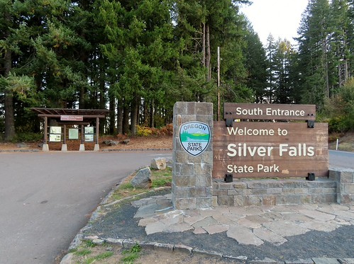
I was going to be a couple of minutes early so I stopped at the south entrance viewpoint first.
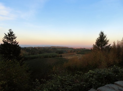


The cafe.


The nature store.

The chipmunks were out in force.

South Falls
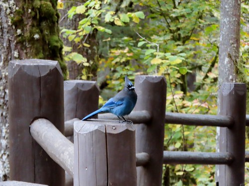
Steller’s jay
I made my way down to and behind South Falls which I had to myself for a couple of minutes for the first time ever.

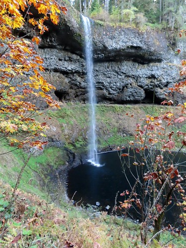


I continued on the Canyon Trail for a total of 3.7-miles to a junction with the Rim Trail.
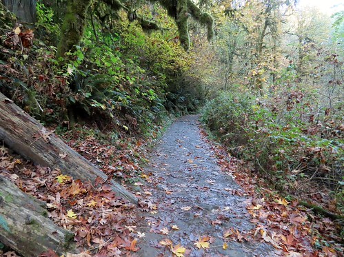
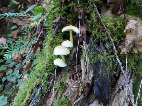

Looking down at the stairs leading to Lower South Falls.

Lower South Falls

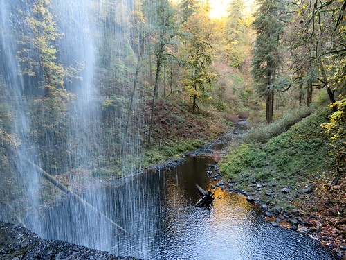
View from behind Lower South Falls.




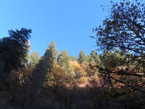
It was a bluebird day above the canyon.

Footbridge over North Fork Silver Creek.


Lower North Falls
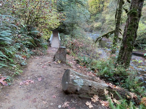
The spur trail to Double Falls is to the left just before the bridge above.

What little water there was in the creek below Double Falls from the footbridge.

Viewing platform for Drake Falls.

Drake Falls
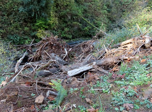
Storm damage from the prior winter. This section of the Canyon Trail had been closed for a few months earlier in the year.

First view of Middle North Falls, my personal favorite.

Middle North Falls
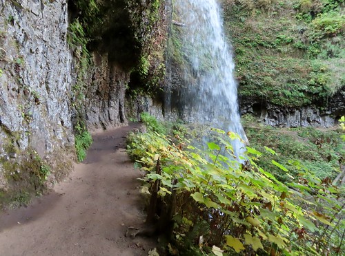
A short spur trail leads behind this fall and to views from the other side.


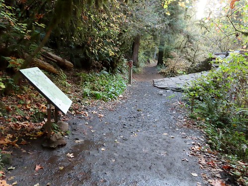
The junction with the Winter Falls Trail (on the right). This trail had been closed when Heather visited in September due to a slide but had since reopened.

North Fork Silver Creek from the Winter Falls Trail footbridge.

Twin Falls with only one of the twins flowing.

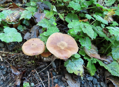

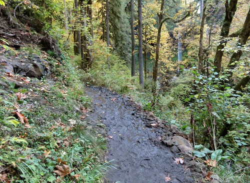
First view of North Falls.
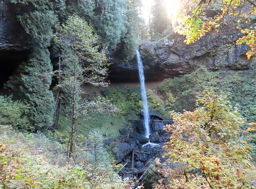

View from behind North Falls.


Climbing to the Rim Trail from North Falls.
I turned left at the junction with the Rim Trail and detoured on the spur trail to Upper North Falls.

Heading under the highway and footbridge from the North Falls Trailhead.
I had only seen about a half dozen people so far and had all seven of the waterfalls to myself for at least a minute or two. That ended when I arrived at Upper North Falls where a couple were doing multiple poses in front of the waterfall. I had to get a little creative to avoid having them in my pictures.

I used the vegetation to hide them here.

I rock hopped to the middle of the creek for an angle they weren’t in.

Then I zoomed in when they got too close for the angle trick to work.
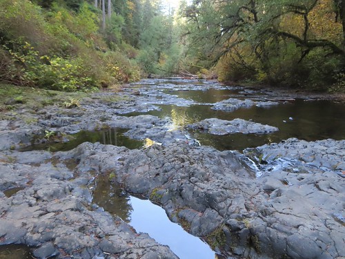
After getting a few shots I took a break on a bench nearby and had a snack before continuing on. After the break I returned to the Rim Trail and followed it for 1.1-miles before forking left to the Bike Path Loop.

More winter storm damage.

The top of North Falls from the Rim Trail.

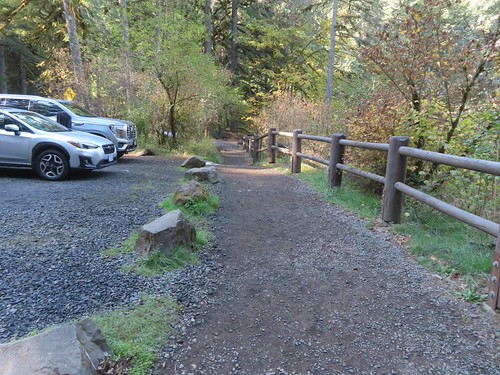
Passing the Winter Falls Trailhead.
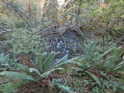
There didn’t appear to be any running water in the creek above Winter Falls.

Coral fungus

The left fork to the Bike Path. The white line was one of many markings left over from the Silver Falls Trail Runs held Oct 16-18th this year.
I had to cross the highway to reach the Bike Path Loop.

The 1.8-mile loop began a little over 100 yards on the far side of the highway.

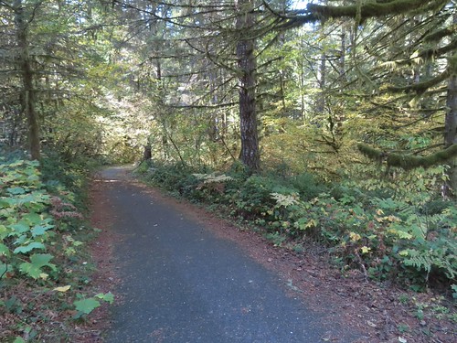
I opted to hike the loop counterclockwise. The path climbed gradually, passing a couple of pointers for “Ranches” (Davidsons & Foothill) before descending back down to complete the loop.


The creek that feeds Winter Falls.


The doe paused when she saw me then decided I wasn’t a threat and crossed the trail only to disappear in the vegetation on the far side.
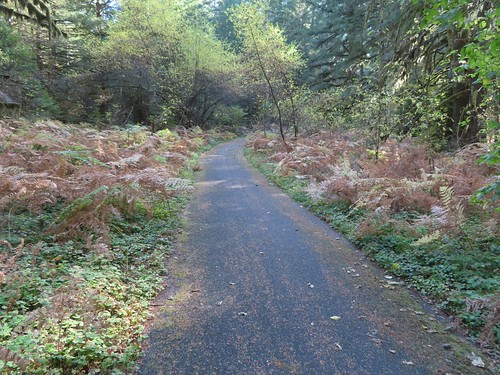
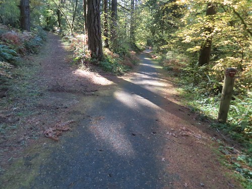
The first trail to the Ranches.


Varied thrush. If you follow the blog, you know this is my nemesis. For me this is a pretty good picture of this elusive forest dweller.

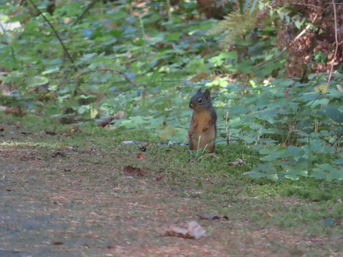
Douglas squirrel
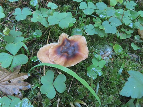
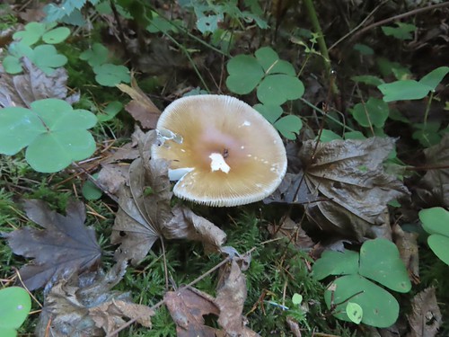

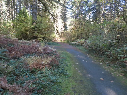
The end of the loop.
I recrossed the highway and stuck to the paved Bike Path for 0.4-miles then forked left when the Rim Trail crossed the path. I then followed the Rim Trail 0.4-miles back to the South Falls District where there was a school field trip in progress. That was a little too much chaos for me, so I hightailed back to the car.


This hike came in at 9.8-miles with approximately 1350′ of elevation gain.
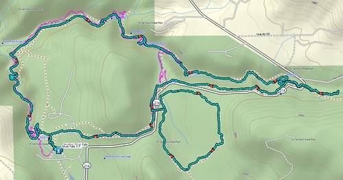
My track from today (cyan) over Heather’s from March (pink).
As always this was an enjoyable hike. The one drawback for me to the park is that it is very popular. Starting early helps and if you aren’t dead set on waterfalls the backcountry trails (post) are never busy. Happy Trails!
Flickr: Silver Falls State Park

