September has always been a bit tricky for planning hikes. Historically it seemed there was always at least one weekend where snow returned to the mountains while other weekends might see rain or 90 degree temperatures. In recent years extreme wildfire behavior has entered into the mix resulting in some devastating fires and some very unhealthy air quality as was the case with the Labor Day fires in 2020. A rare east wind event that year caused a number of wildfires to explode.
A similar, but not nearly as strong, wind event was forecast for Friday & Saturday which coincided with our third attempt at using a Central Cascade Overnight Wilderness Permit. We had planned on trying to reach Goat Peak in the Mt. Jefferson Wilderness after having failed to do so in September 2018 (post) but the combination of extreme fire danger and forecast for wide spread smoke resulted in our once again deciding not to utilize the permit we’d obtained. (An early snowstorm in 2021 and thunderstorms in July of this year were the reasons we’d changed our permit plans.)
We were still hoping to sneak some sort of hike in so I started looking for another idea. We didn’t want to go too far from home due to the potential for fast spreading fires but at the same time the Saturday forecast for Salem was a high in the mid-90’s and widespread haze/smoke. I turned to the Oregon Hikers Field Guide for inspiration and noticed the Spring Valley Loop in the Willamette Valley State Parks section. It was less than a 20 minute drive from home and at less than four miles would allow us to be done hiking by mid-morning and avoid the warmer part of the day.
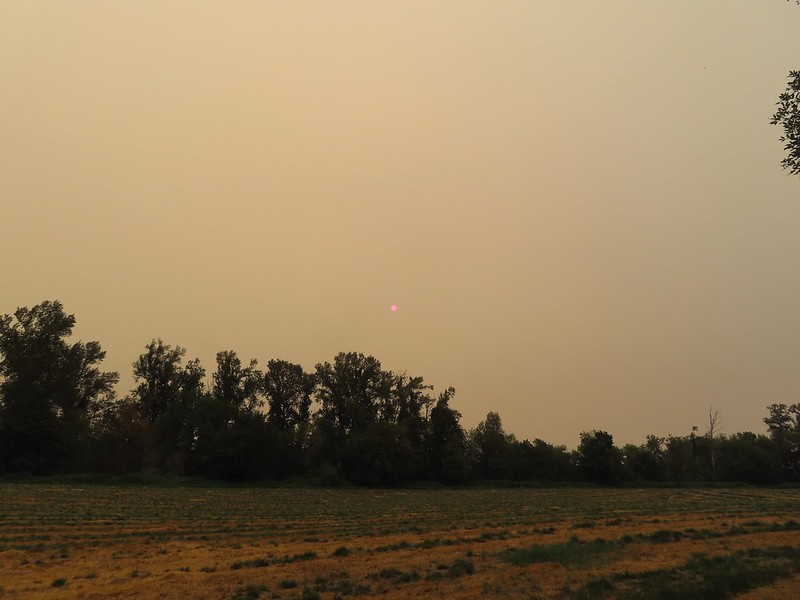
Prior to leaving in the morning I checked up on a fire that had started the day before in South Salem along Vitae Springs Road and stuck my head outside to see if the air smelled of smoke. Everything seemed okay so we proceeded to get ready and headed out at about a quarter to 7am. While the air didn’t smell of smoke the sky had a familiar hauntingly orange hue to it. As we prepared to set off on the first of three short loops from the Spring Valley Trailhead we remarked at how dark it still was due to the layer of smoke overhead. (The majority of the smoke was likely from the Cedar Creek Fire near Waldo Lake (post) which had grown rapidly overnight toward Oakridge and Westfir prompting evacuations although there was also a new fire to the NE at Milo McIver State Park (post).)

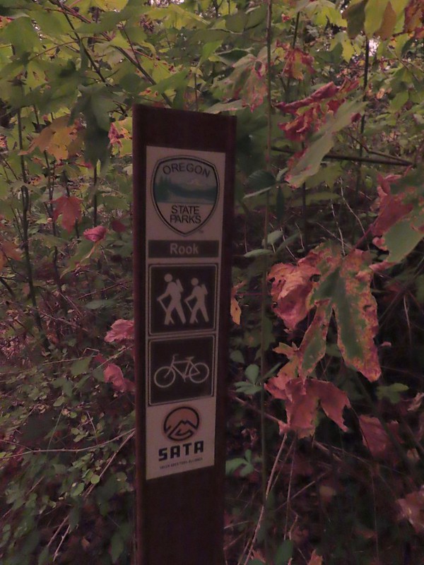
For the first loop we walked back up the park entrance road approximately 400 feet to the Rook Trail on the left.


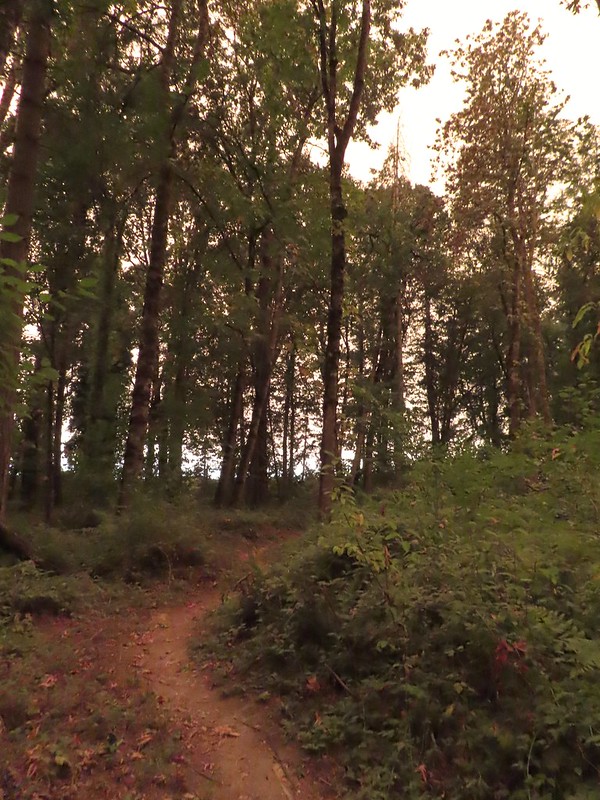
We followed this trail as it wound through the woods for nearly a mile before ending at the entrance road a short way from Highway 221 (Wallace Rd NW).
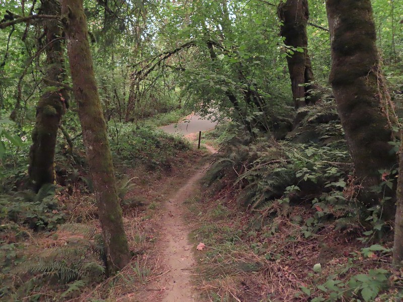
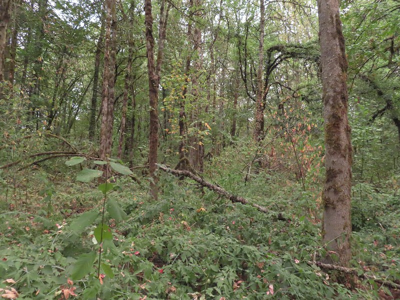
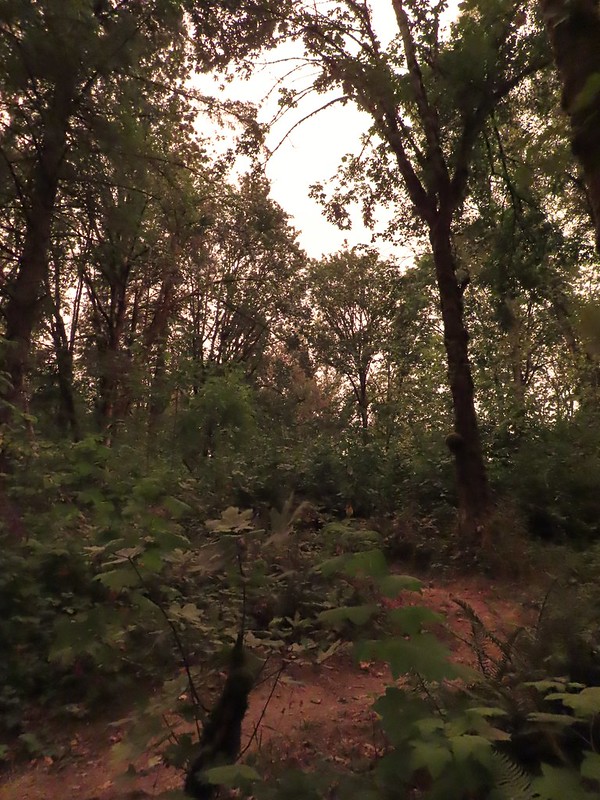 The combination of low light and orange hue made for some poor photography conditions.
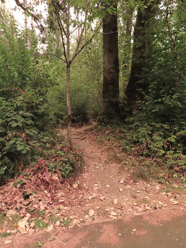
 Approaching the entrance road. The gate is for the road which is only open during daylight hours.
We turned right onto the road and followed it for a tenth of a mile to the unsigned Generator Trail (there was some pink flagging present) and took a left onto this one-way trail.

 The Generator Trail.
The 0.4 mile Generator Trail brought us back down to the entrance road between the trailhead and where we had turned onto the Rook Trail.


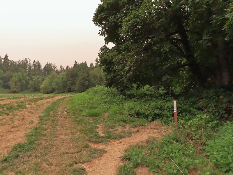
As we followed the road back to the trailhead we were discussing which loop to try next. That decision was made by the couple having an intimate moment in the back of a pickup parked at the start of the Perimeter Trail. We turned right, away from the show, and cut across the mowed field surrounding the vault toilet to pick up the also unsigned Upper Spring Valley Trail.

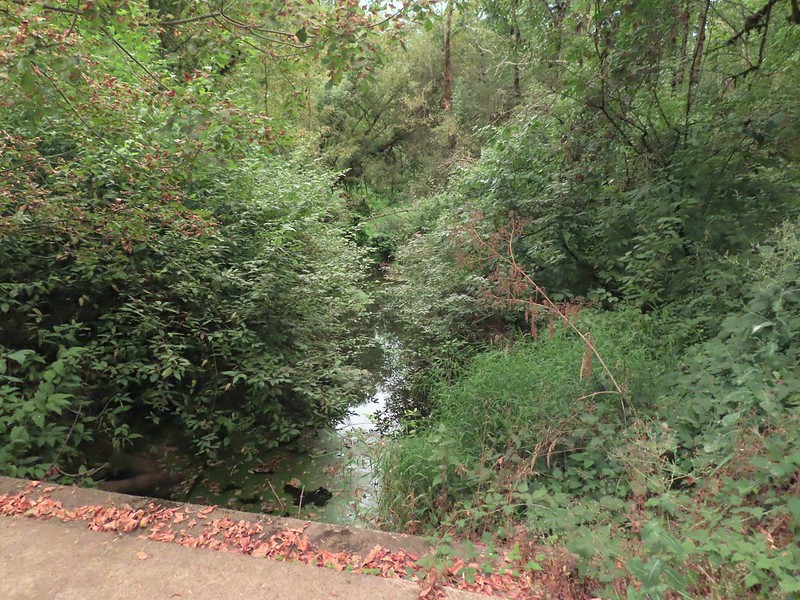 Spring Valley Creek passing under the entrance road.
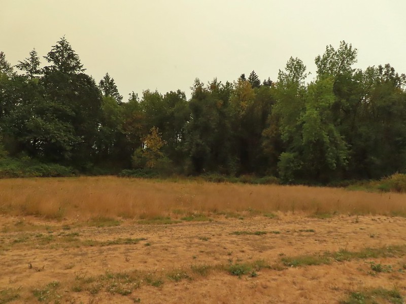 The mowed field.
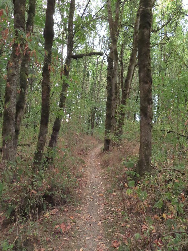
 Upper Spring Valley Creek Trail.
The 0.7 mile Upper Spring Valley Creek Trail simply loops back to the trailhead so we hopped that by the time we had finished the short loop the couple was finished as well.
 A few Autumn colors starting to show, now we just need some Fall rain.
 Brief glimpse of the Willamette River.
 The tailgate was up on the pickup, a good sign for us.
 Some of the various non-native wildflowers in the area.
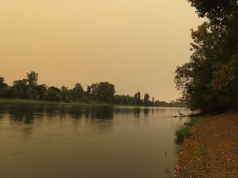
Before setting off on the Perimeter Trail we decided to make the quick detour down to the Willamette.
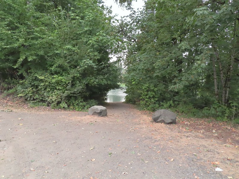
 Mile 74.2 of the Willamette Water Trail.
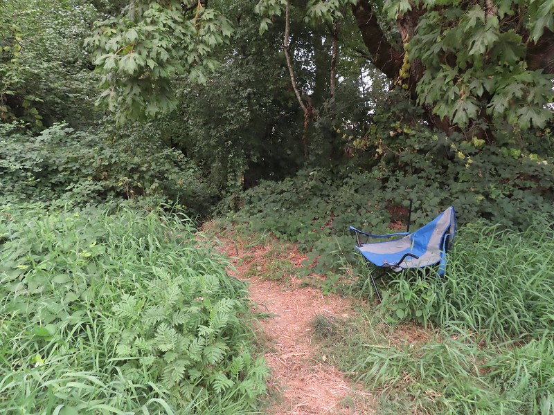
We didn’t quite make it to the river though as the couple had apparently decided to switch locations, but at least they were taking turns. We made a hasty retreat and set off on the Perimeter Trail.
 The Perimeter Trail begins to the right of the gate.
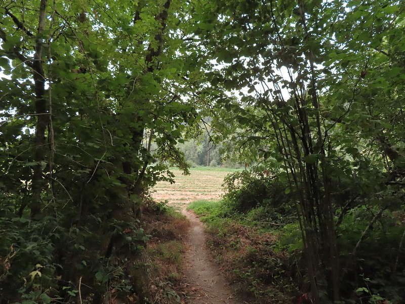
The Perimeter Trail loops around another mowed field but after 0.2 miles the signed TCC Trail splits off to the right into the woods (assuming you are hiking counter-clockwise).

 Invasive common tansy but the beetle was cool looking.
 We were initially fooled by this side-trail at the 0.1 mile mark which was not the TCC Trail, but did provide access to the Willamette.
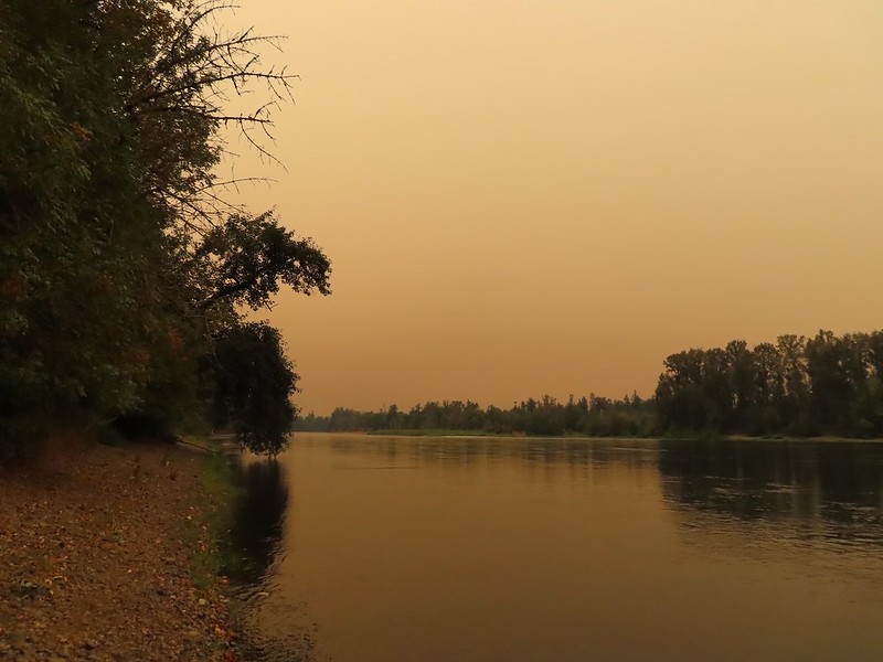 Willamette Mission State Park (post) is located on the opposite side down river.
 There’s the TCC Trail.
After just a tenth of a mile on the TCC Trail it appeared that we were going to be led right back out to the field but the TCC Trail made a hard right and stayed in the woods for an additional four tenths of a mile.


 Back to the field after half a mile.
At the field we turned right onto what in theory was the Perimeter Trail following it another 0.4 miles back to the trailhead.

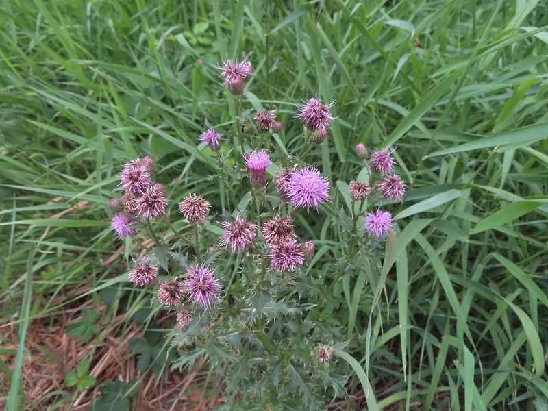 Invasive Canadad thistle.
 Common toadflax – non-native.
 Moth mullein – you guessed it, non-native.
 The Sun behind a layer of smoke.
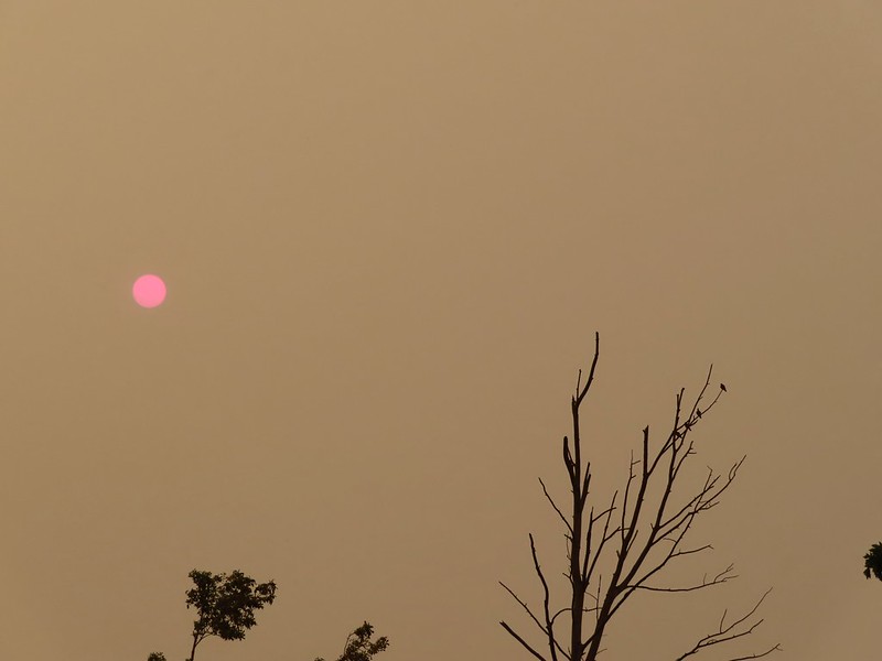 Pigeons (or doves) in a snag.
The three loops came to a grand total of 3.5 miles with a little over 200′ of elevation gain.

While the conditions weren’t ideal there was a cool (mostly) breeze and it never smelt like smoke. Early Spring would be a much better time to visit or maybe a little later once more of the leaves have had time to change color but given the circumstances it was a suitable destination. It was nice to find another option so close to home too. Happy Trails!
Flickr: Spring Valley Greenway


 Ash Creek


 In addition to the single doe we spotted a variety of birds along our route.
 Passing the dog park.
 Sign at the start of the sports park.
 Bird in a nest.
 Interpretive sign along the trail.

 Stellar’s jay
 Flowers along the path.
 Eventually the field on the left will be developed into sports fields.
 Vetch
Vetch Morning sunlight showing why it’s a robin “red breast”.
 Sparrow
 Going around the open field brought is into the sunlight, but it still hadn’t warmed up too much.
 Swallows
 Spotted towhee with breakfast.
 Amphitheater at Riverview Park.
 Willamette River
 Killdeer


 Pointers on South Main Street.


