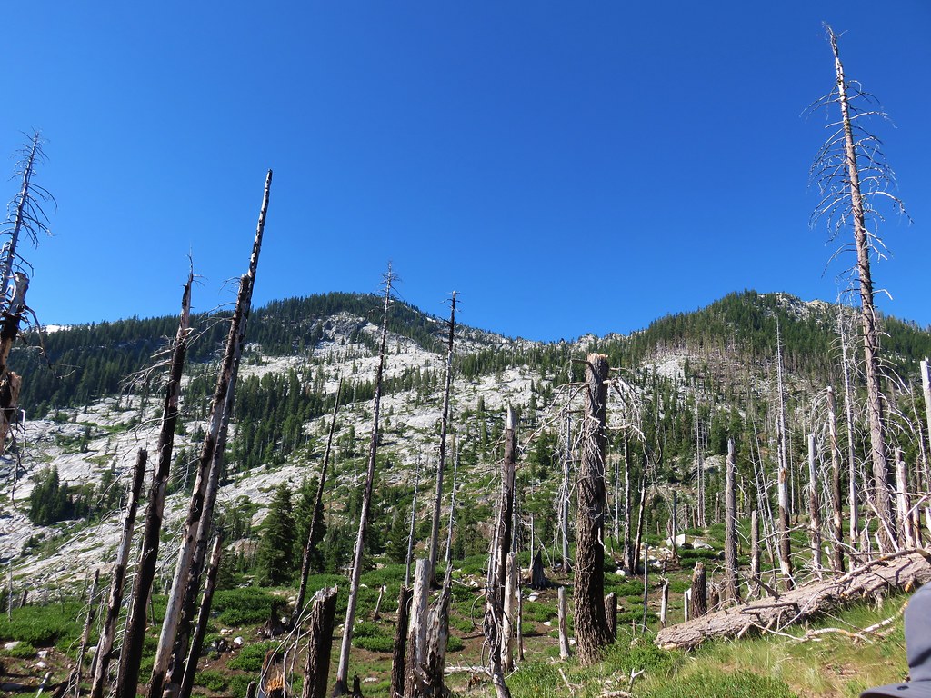
**Note a portion of this hike burned in the 2021 River Complex.**
On the fifth day of our vacation the forecast was finally free of the threat of thunderstorms. We’d been saving our visit to the Trinity Alps Wilderness for just such a day since it was the longest drive to a trailhead that we had planned. From Mount Shasta City the quickest drive would have been to take Forest Road 42N17 which we had been on for our hike to Mt. Eddy to Highway 3. After being delayed by an ongoing chip and seal project on the drive home we opted for a slightly longer drive by taking the Gazelle Callahan Road to the highway. We followed Highway 3 south for 23.5 miles to Coffee Creek where we turned right onto Coffee Creek Road which we followed to its end at Big Flat Campground.
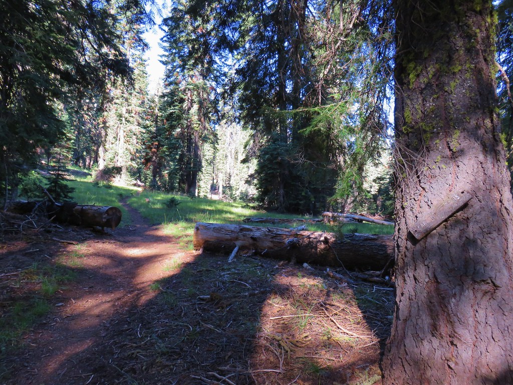
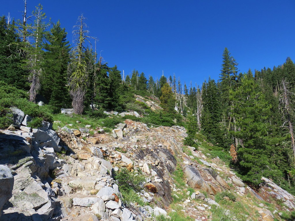
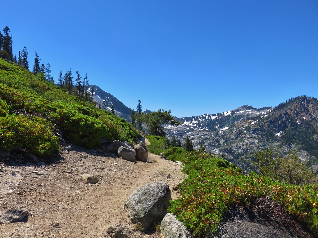
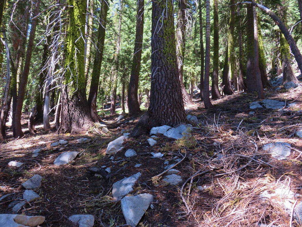
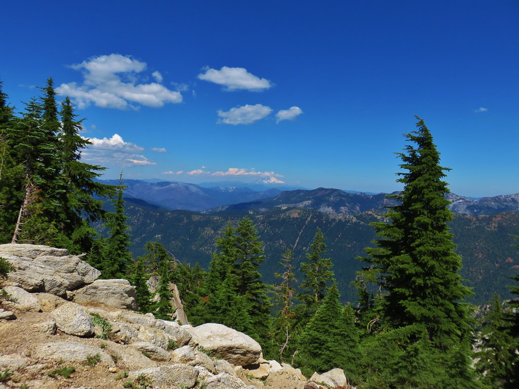
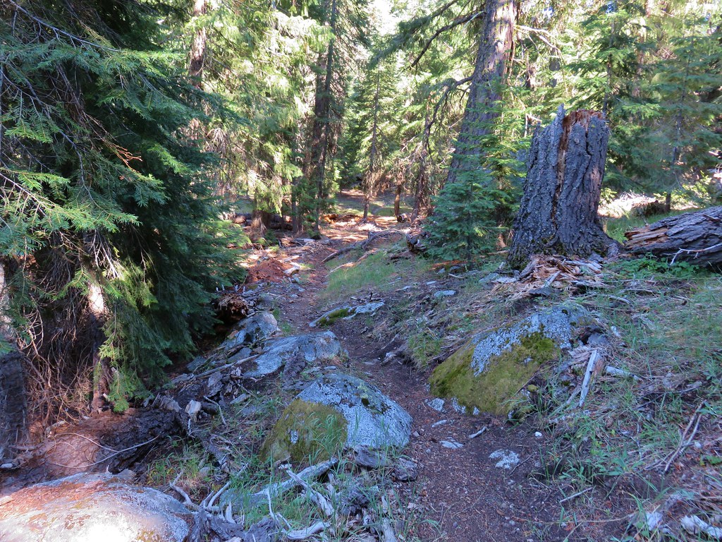
We parked at the signed Caribou Lake Trailhead and set off on the trail which quickly entered the Trinity Alps Wilderness.


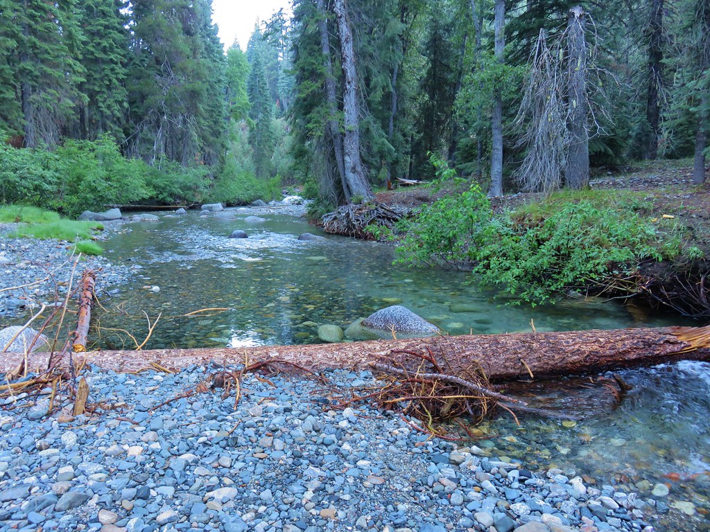
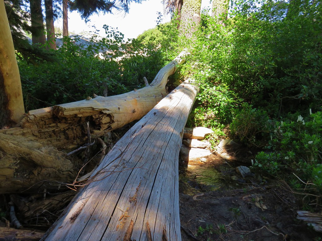
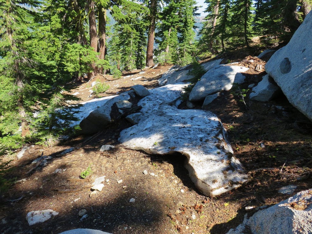
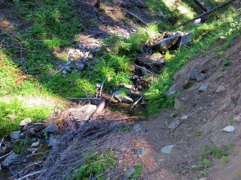
The trail descended for .2 miles to the South Fork Salmon River where we had expected to have to get our feet wet but a downed tree provided a dry crossing.
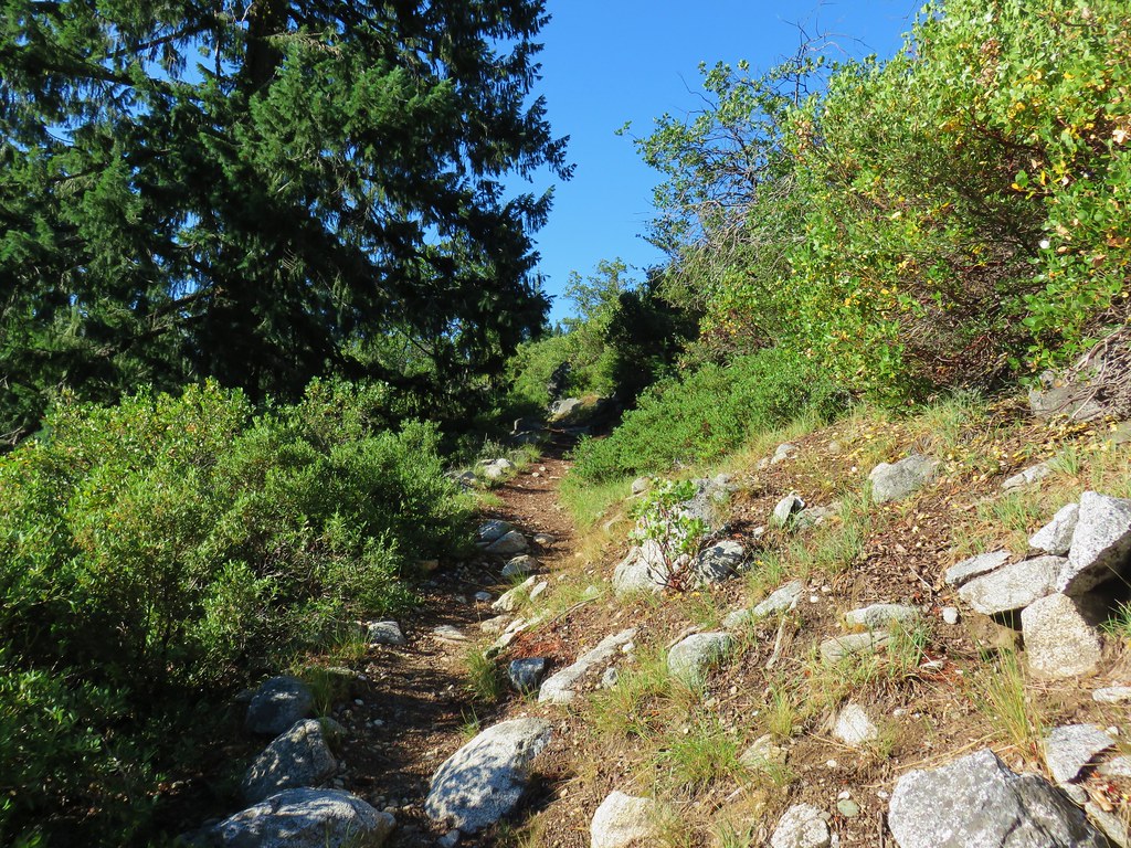
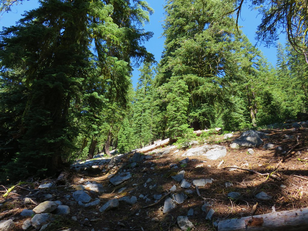
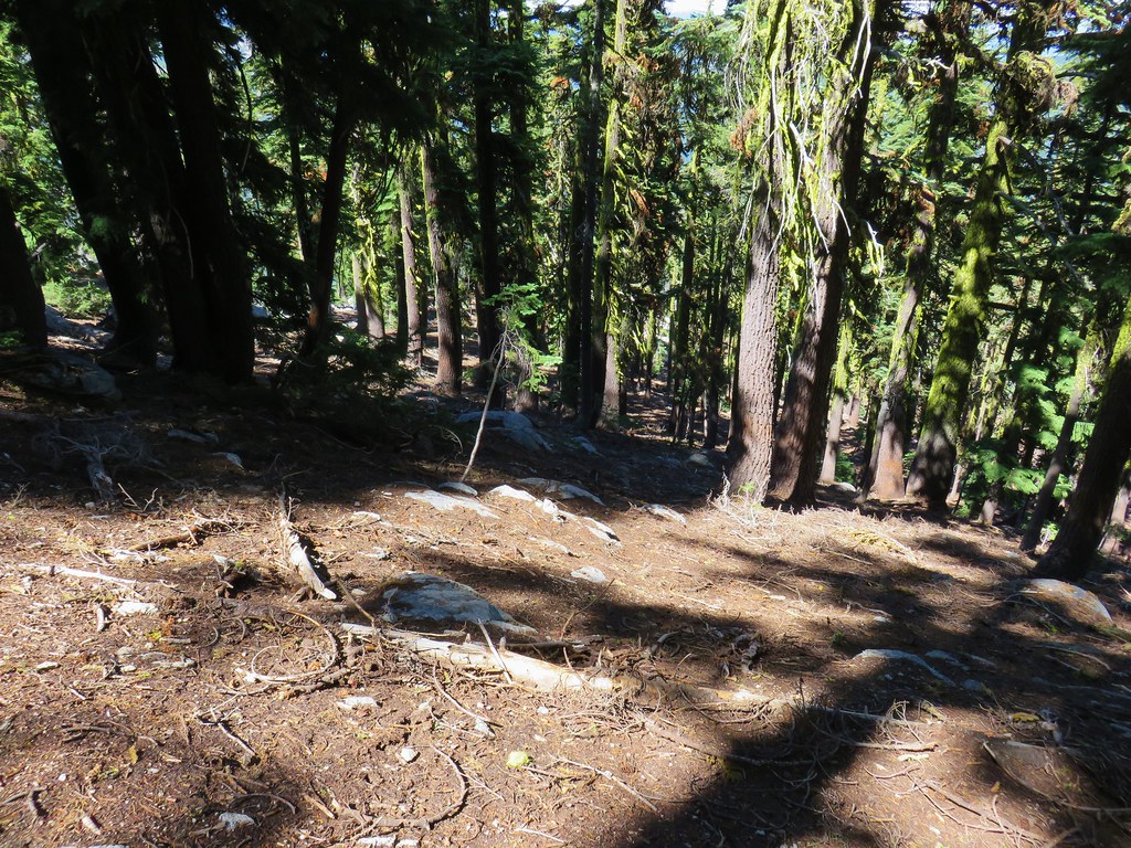
On the far side of the river we faced the choice of taking the shorter, steeper Old Trail or the the longer but gentler New Trail. Our planned route was to go up to the lakes on the New Trail and return via the Old Trail which would result in a figure 8 as the trails crossed paths at Caribou Meadows. We wound up not even noticing the Old Trail splitting off to the right as we passed by and were soon climbing along a fairly open hillside.
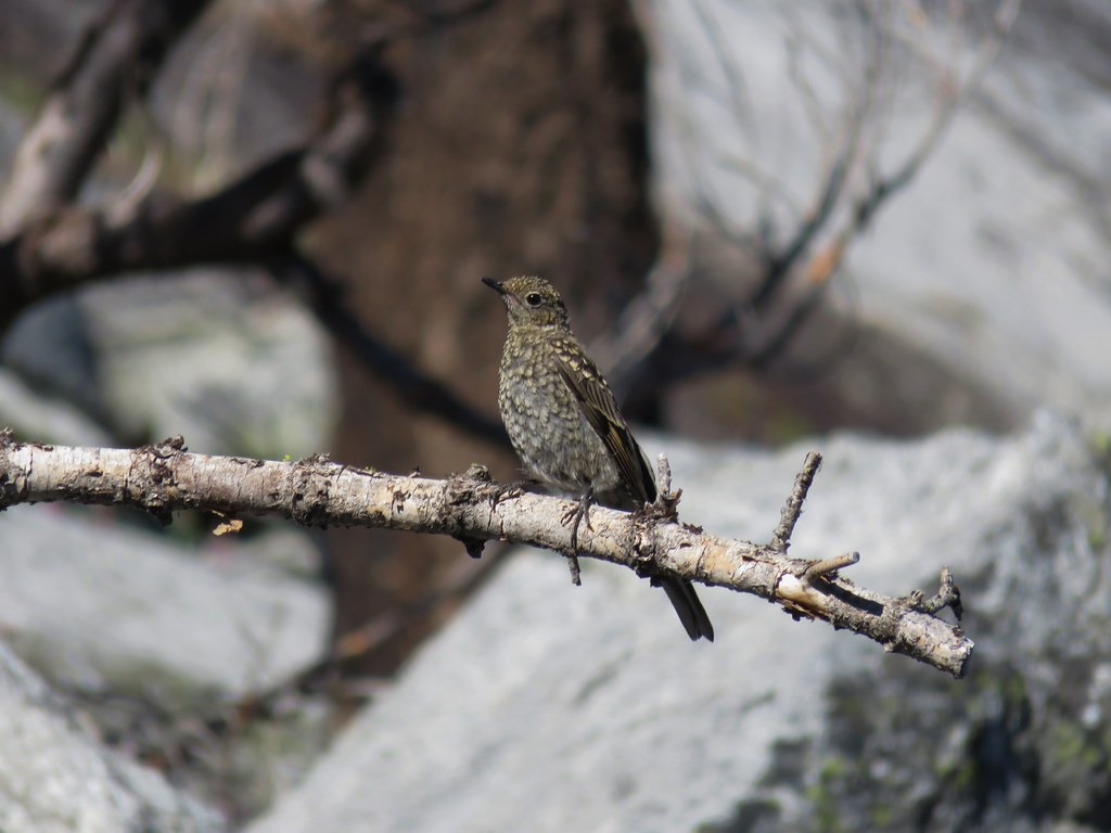
The wildlife was out that morning and we spotted several quail and a snake before reentering the trees.
We then spotted a bear cub about 200 feet off the trail, downhill in the trees. We both stopped and immediately looked uphill to make sure we weren’t between it and mama bear. We weren’t, she popped her head up from behind a bush near where the cub had been (it ran off downhill). Mama looked at us long enough for me to pull out the camera, turn it on, and then press the power button again instead of taking a picture as she followed her cub deeper into the forest.
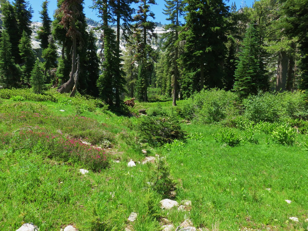
We continued the gradual climb to Caribou Meadows arriving in just under three miles from the trailhead.
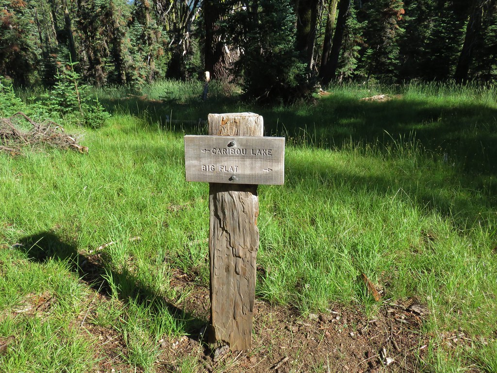
There was a sign here for the Old Trail as it crossed the New Trail and headed off uphill.

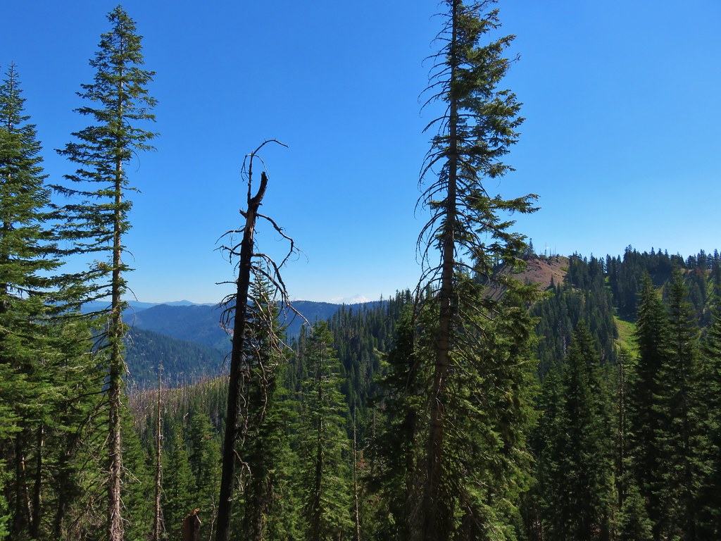
We stuck to the New Trail as it continued its slow climb winding around hillsides towards the lakes.

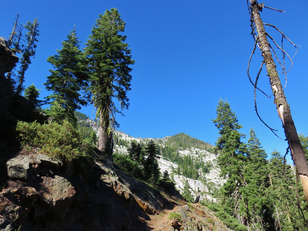
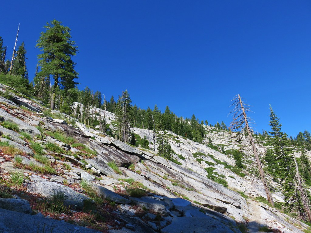
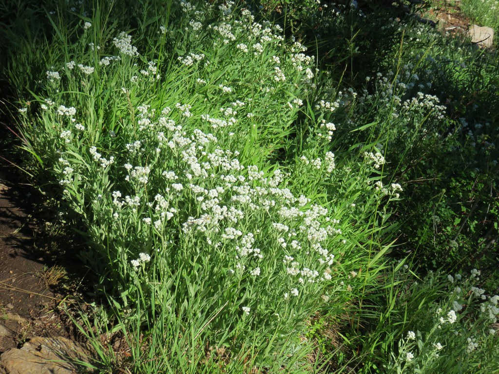
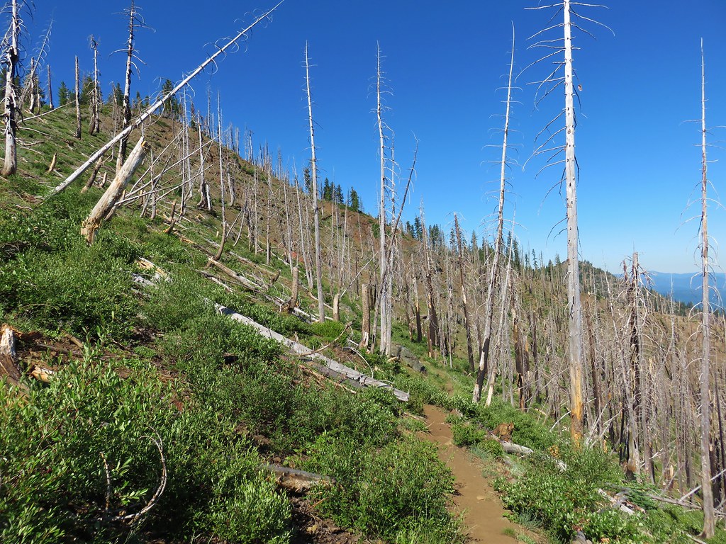
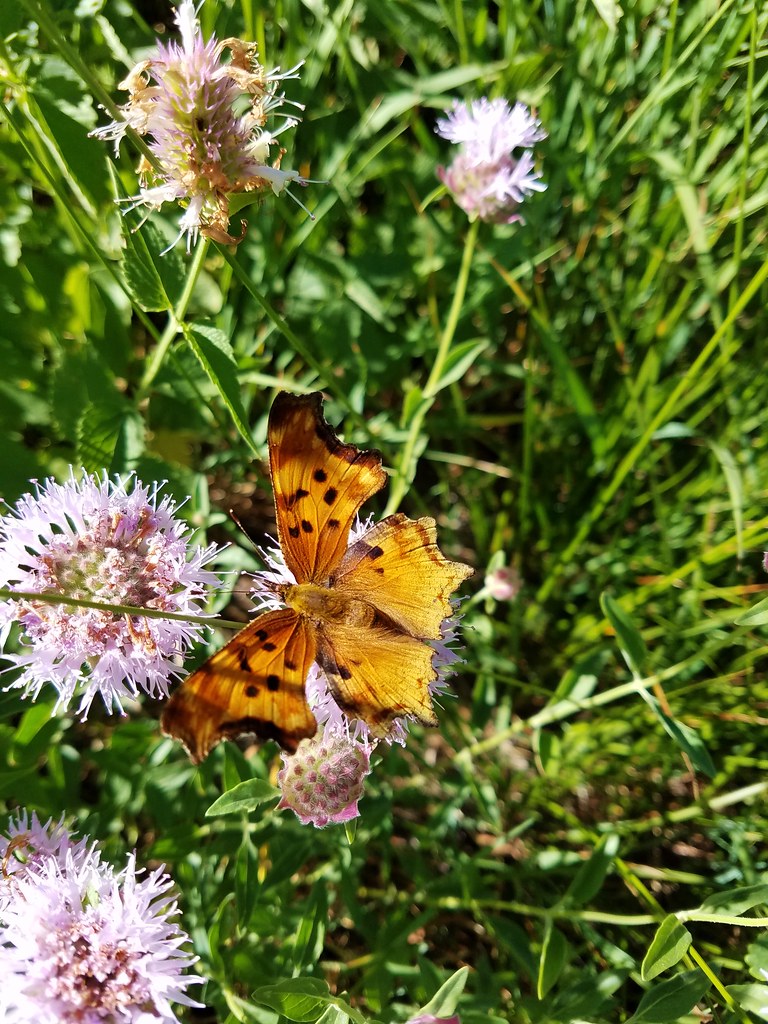
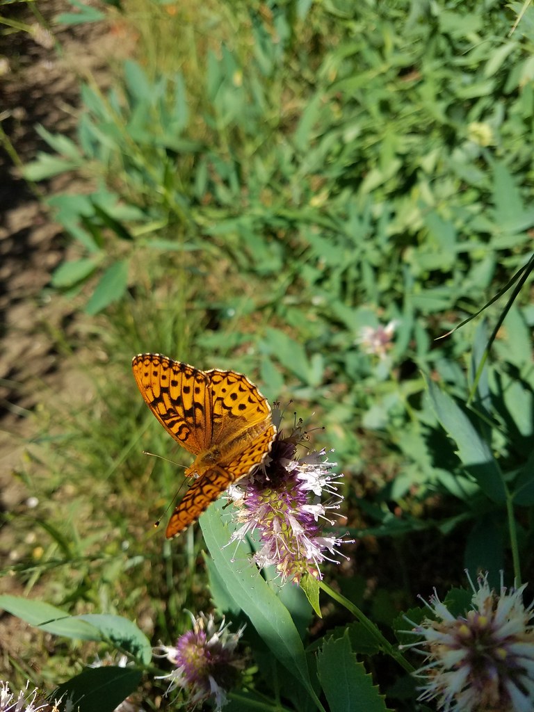
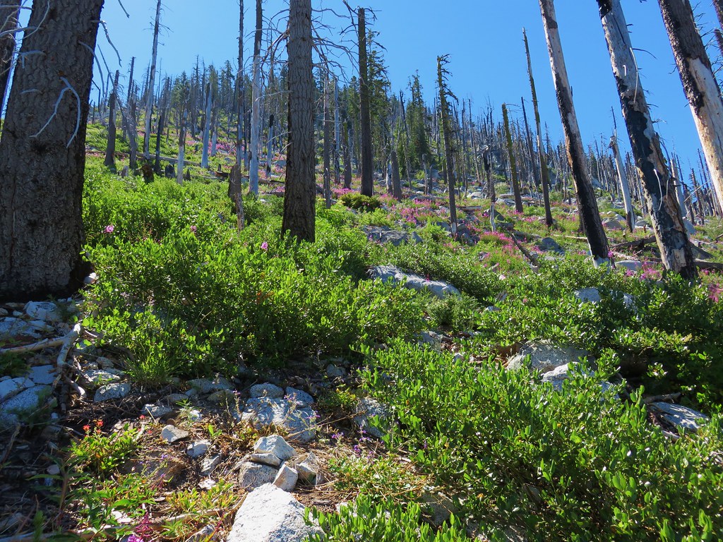
After passing through an area of burnt trees the trail emerged onto a granite hillside. More wildlife and various wildflowers greeted us along this section.

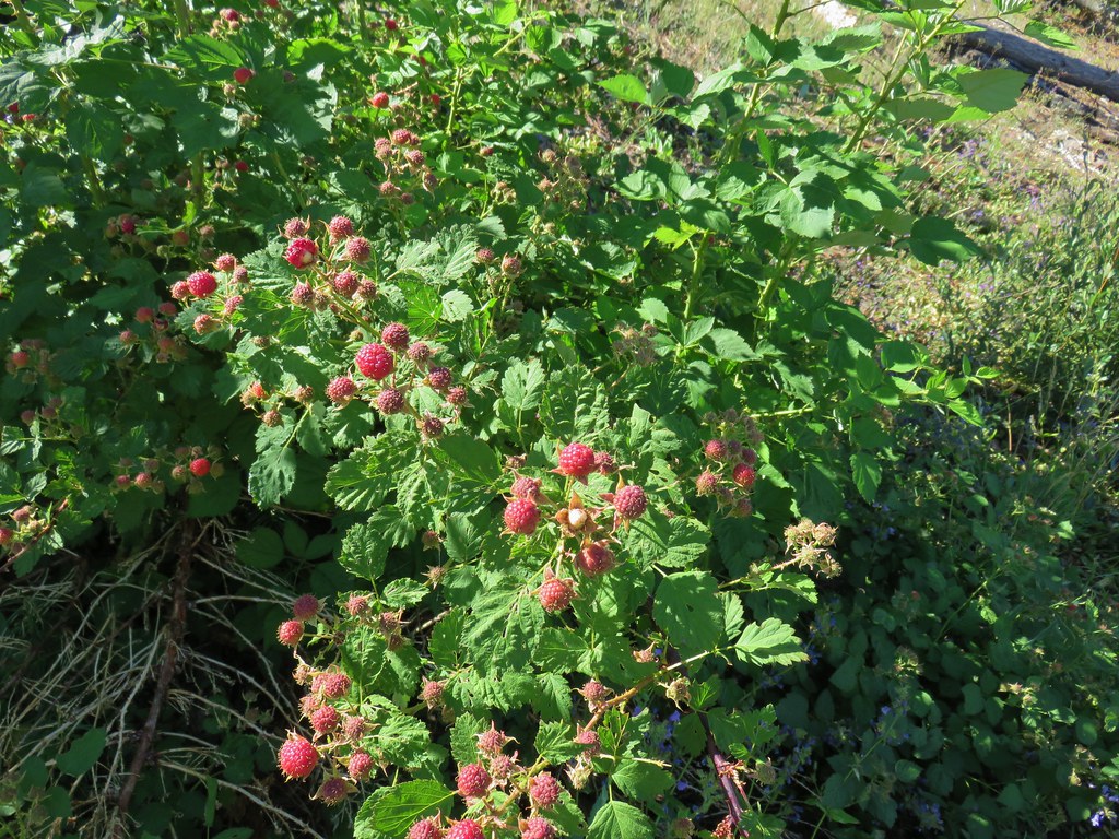
We passed through another stand of burned trees (where we found a couple of ripe berries) before arriving at Browns Meadow, 1.6 miles beyond Caribou Meadows.

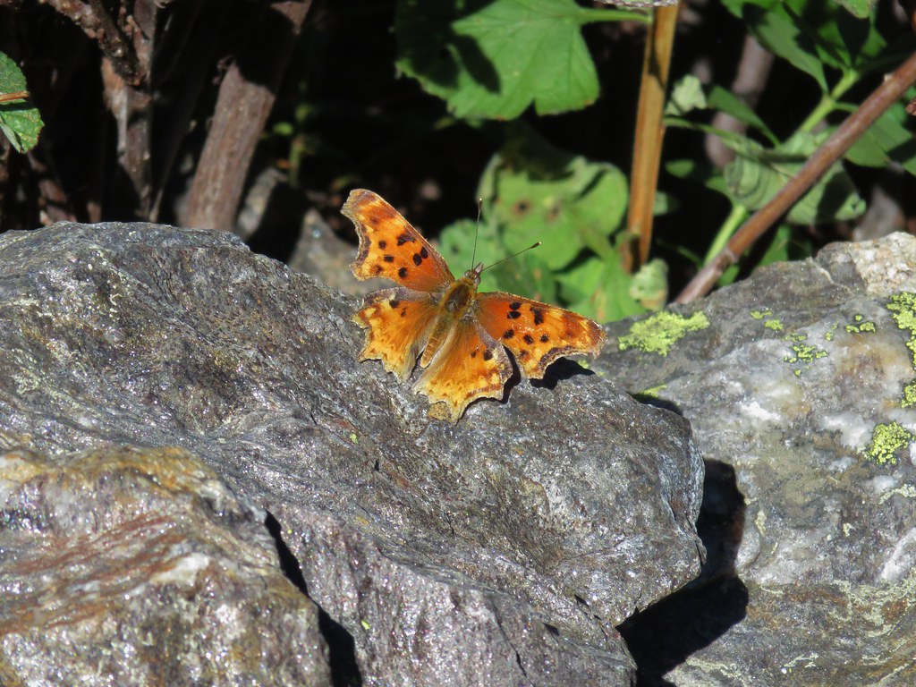
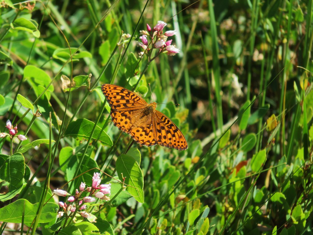
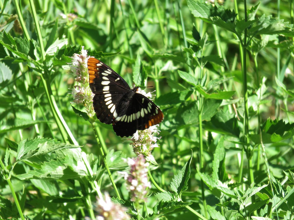
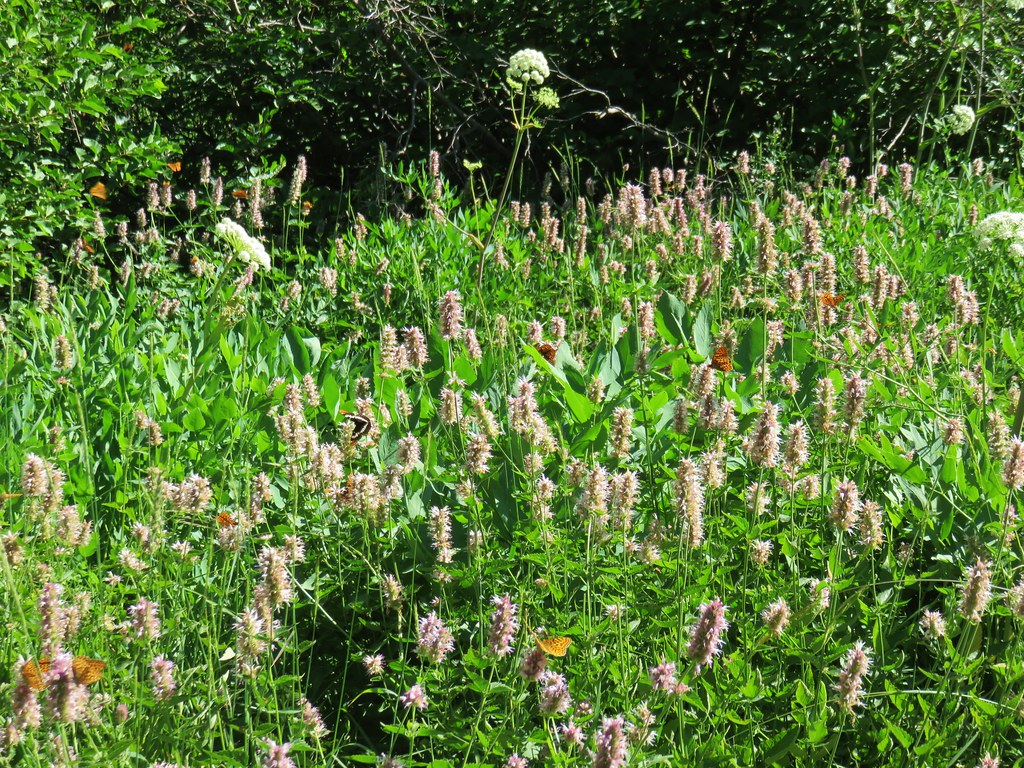
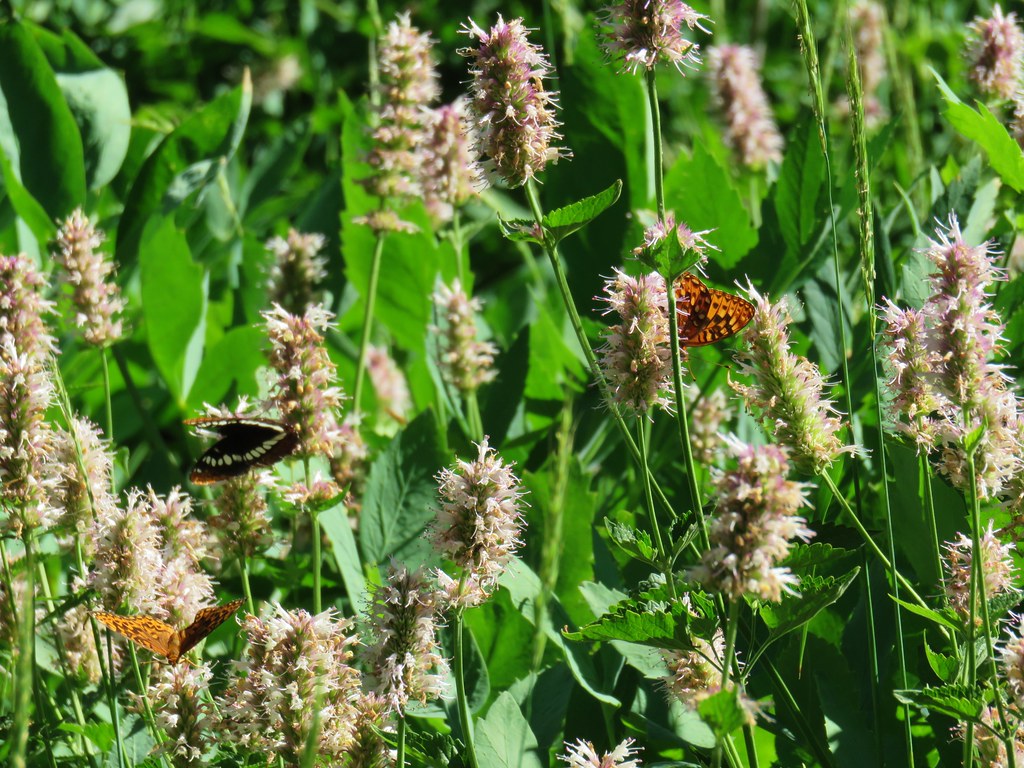
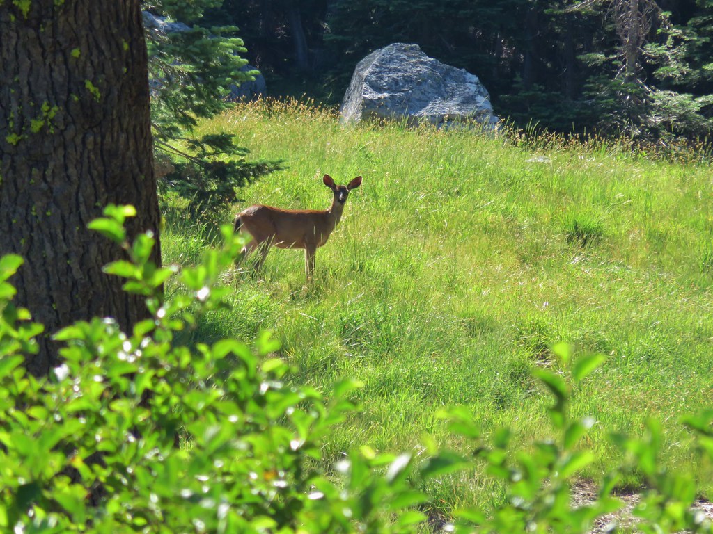
We took a seat on a rock near the edge of the meadow and just enjoyed the sound of a flowing creek amid the peacefulness of the wilderness. As we started to get up I looked behind us and noticed a doe walking through the meadow. She disappeared behind some vegetation heading in the same direction as the trail. Thinking we might get a chance to see her again we resumed our hike but were quickly distracted by a plethora of butterflies.

The trail crossed the creek we’d been listening to.
As we began to climb away from the meadow I looked back and spotted the deer in the meadow after all.
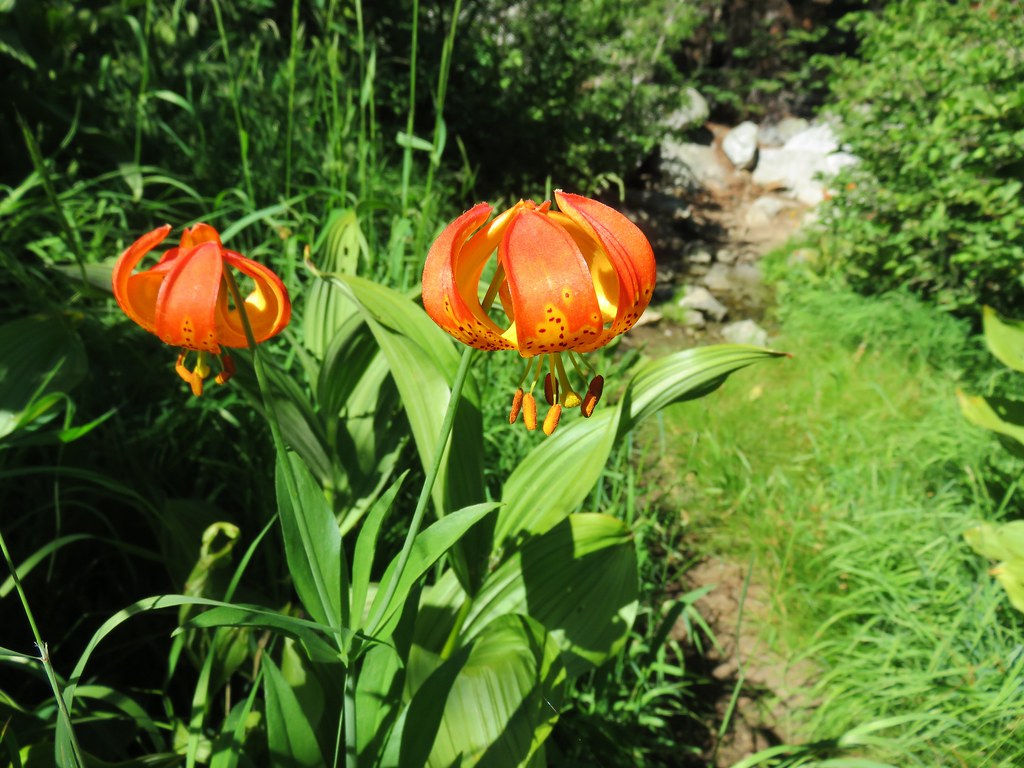
We passed another small stream giving life to quite a few colorful flowers.
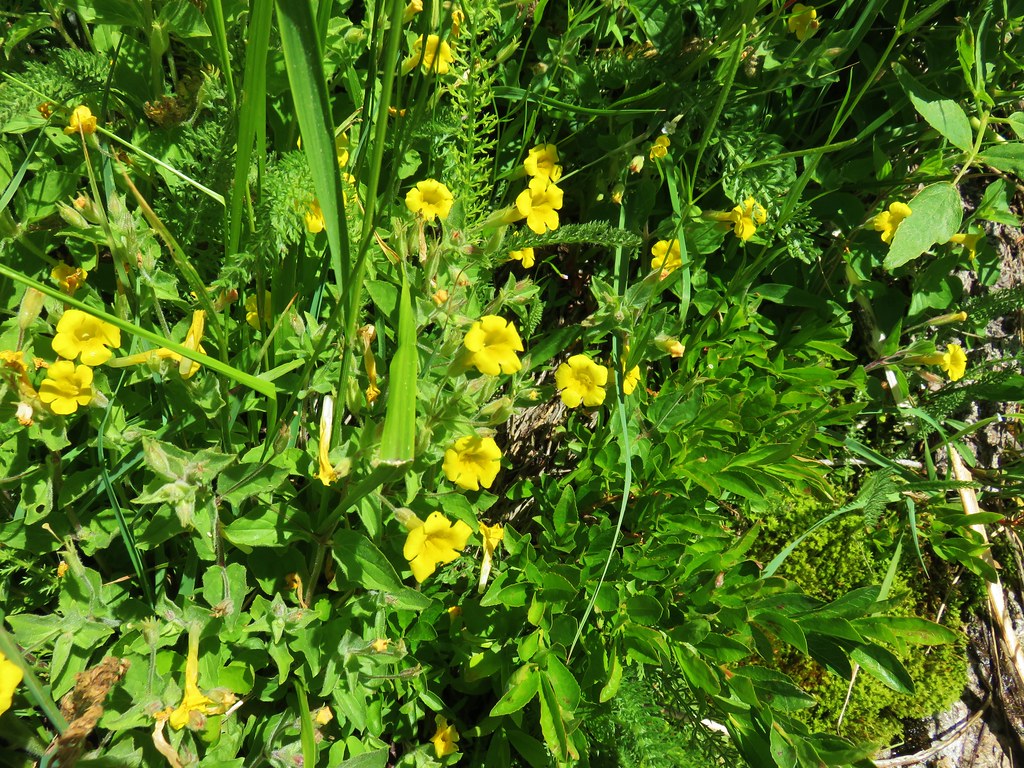
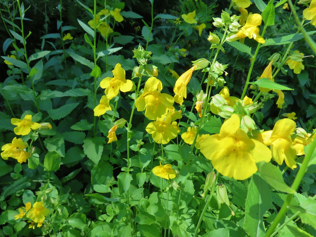 Monkeyflower
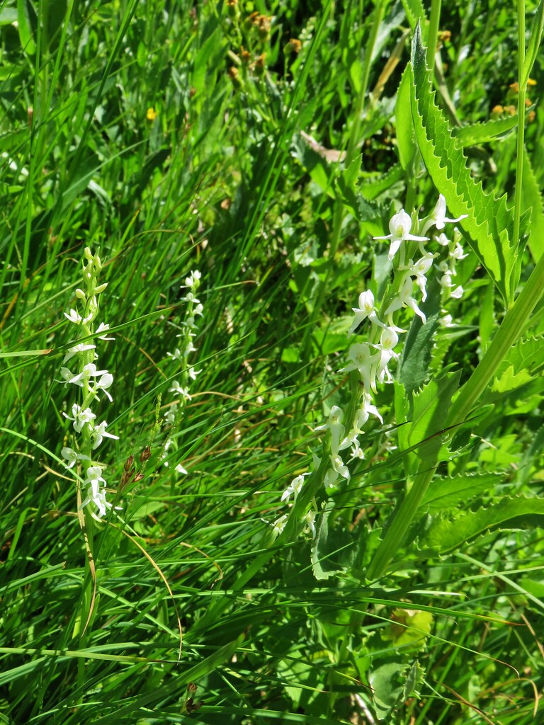
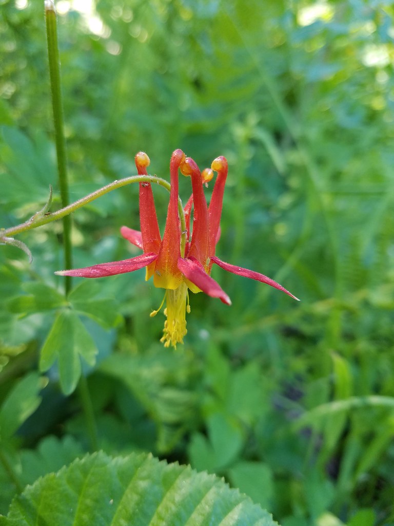 Columbine
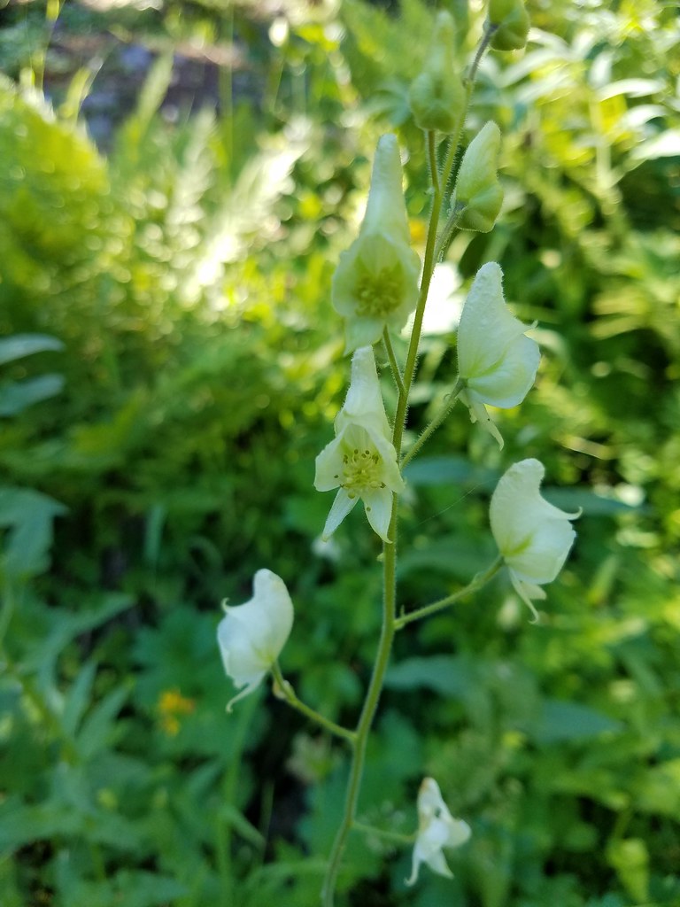 Monkshood
 Featherbells
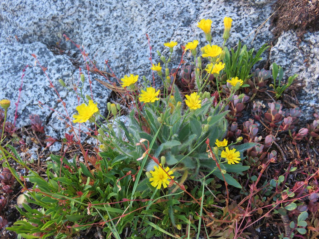
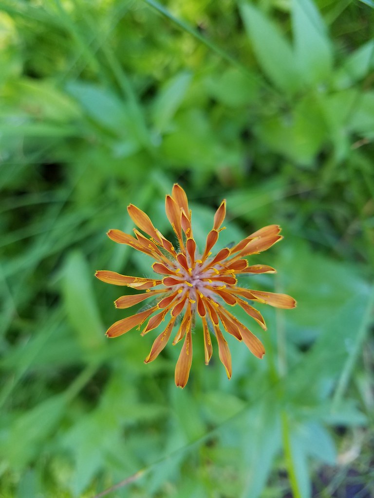 Orange agoseris
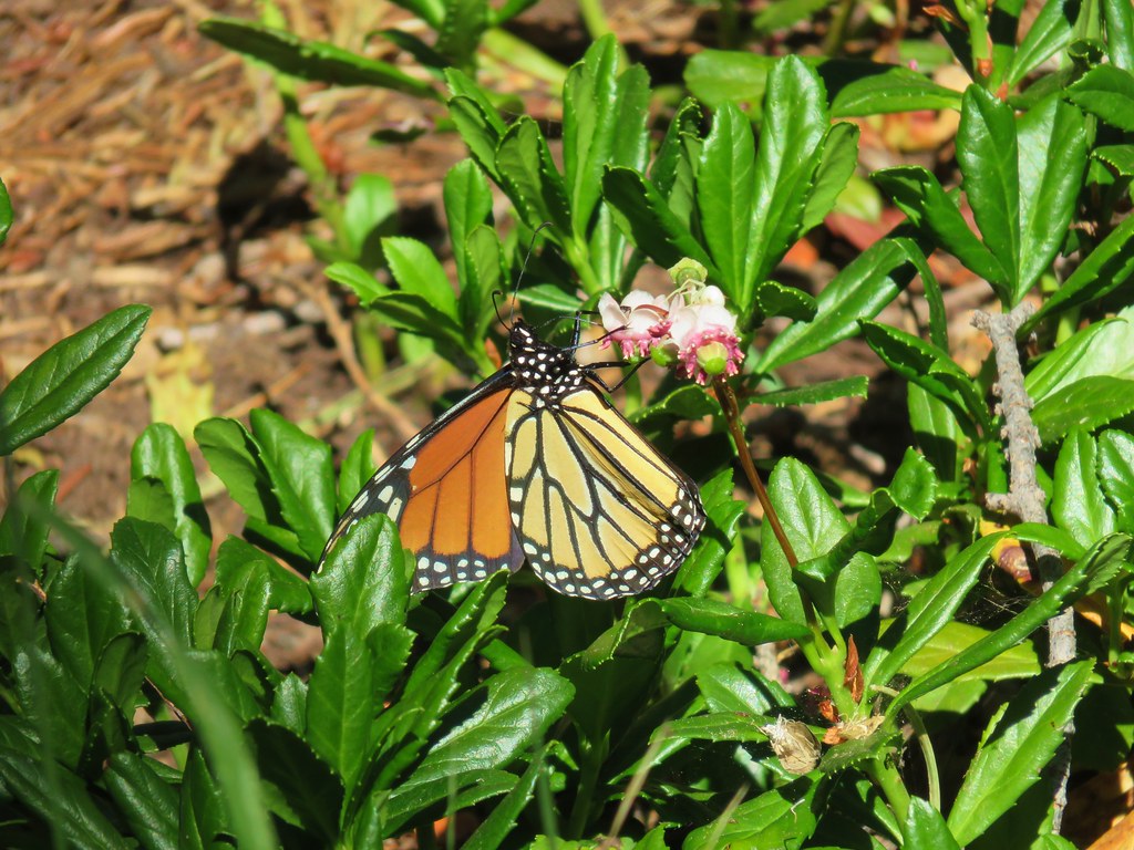 Monarch butterfly
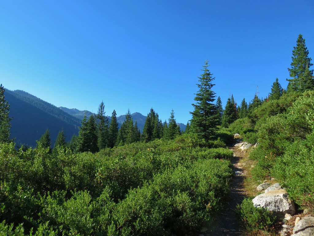
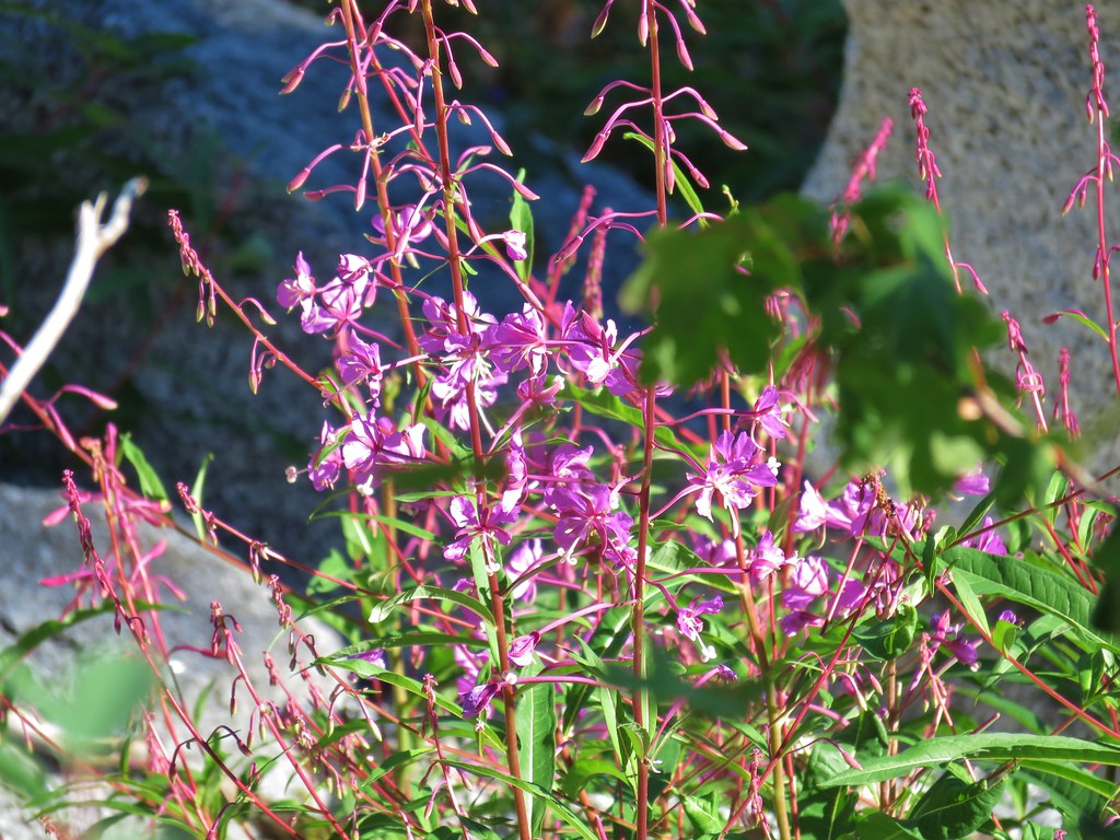
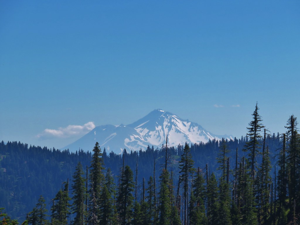
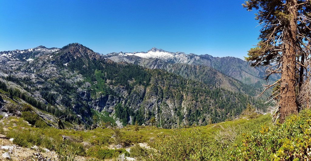
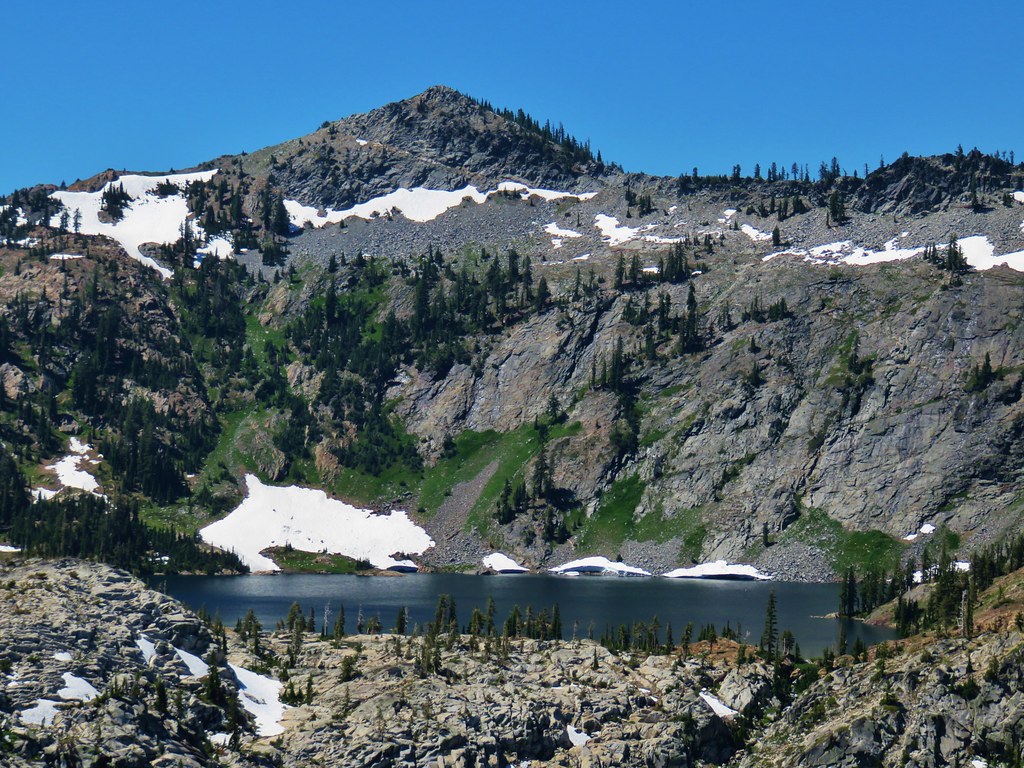
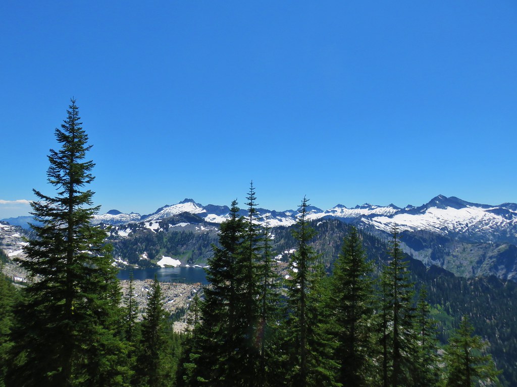
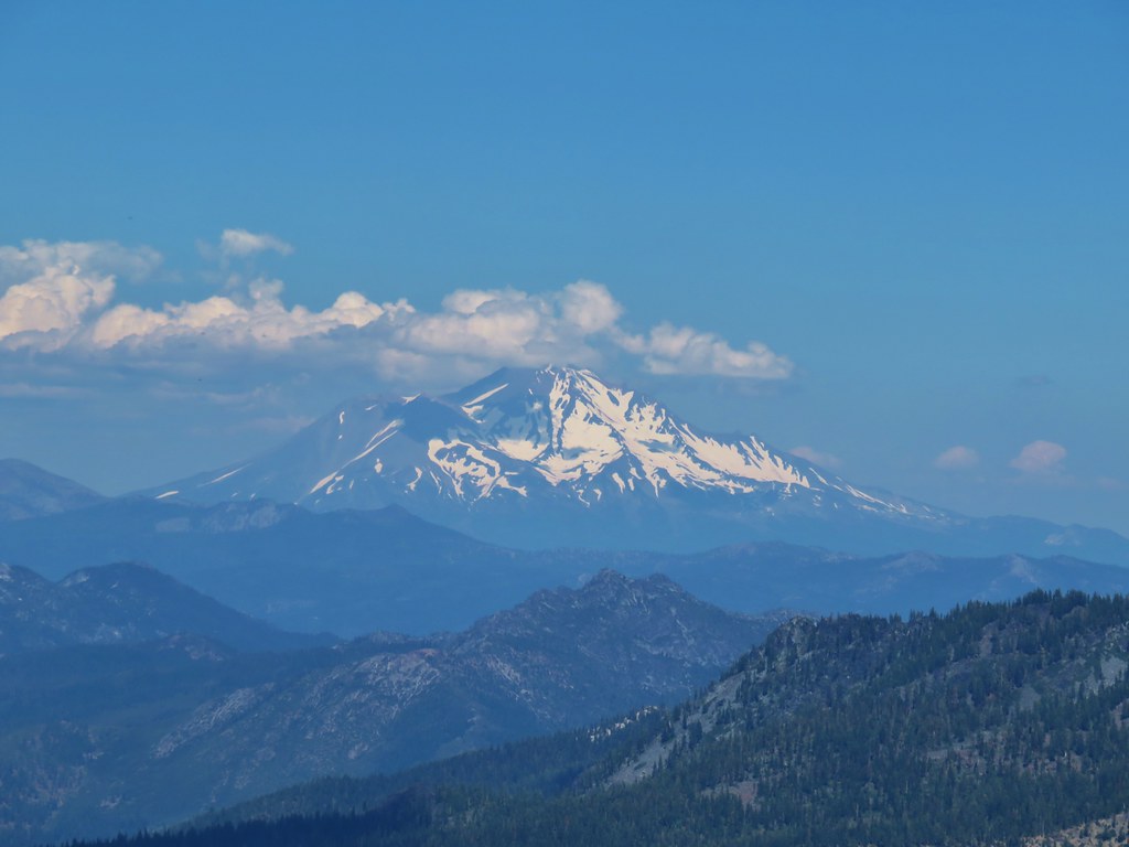
We got our first good look at Mt. Shasta just before rounding a hillside covered in pink fireweed.
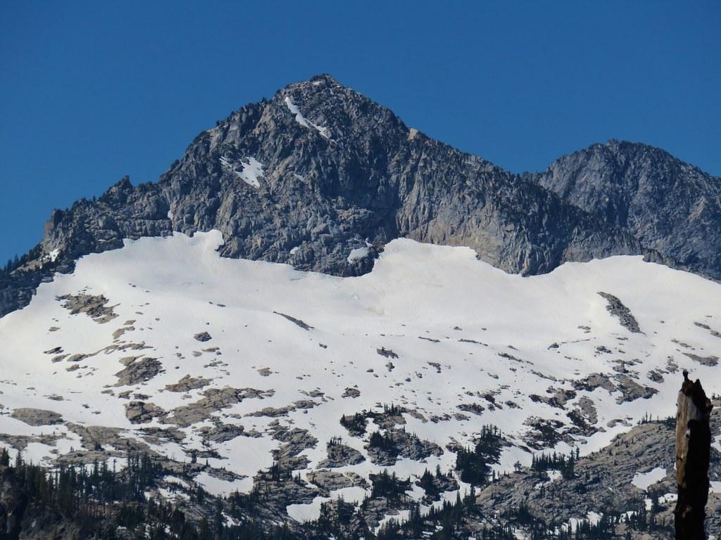
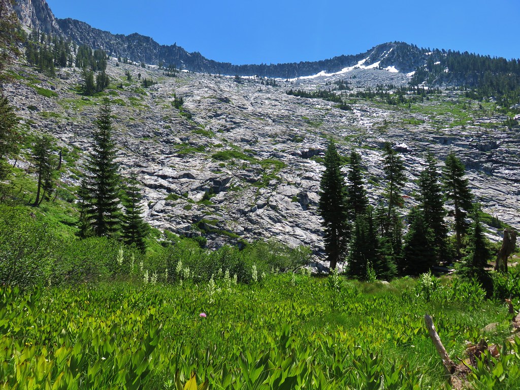
As we came around the hillside snowy Caesar Peak came into view with the slightly taller Thompson Peak behind.
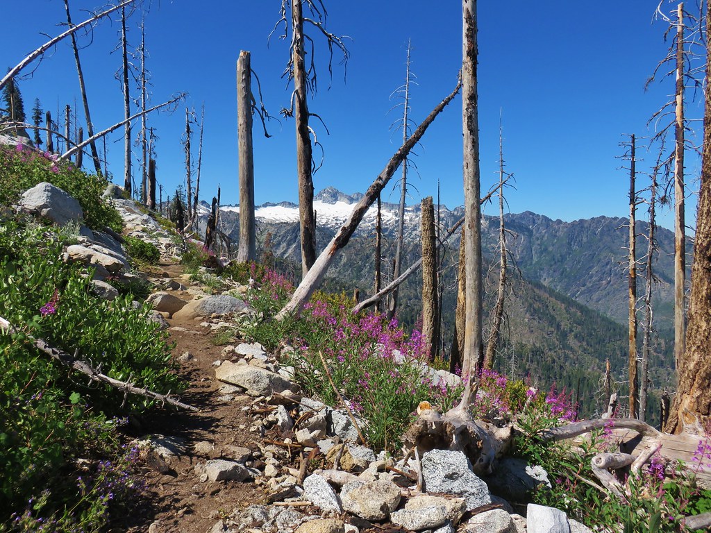
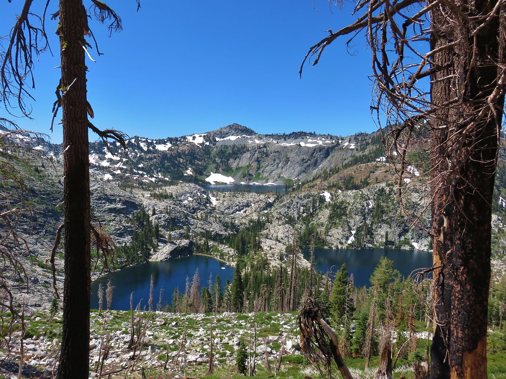
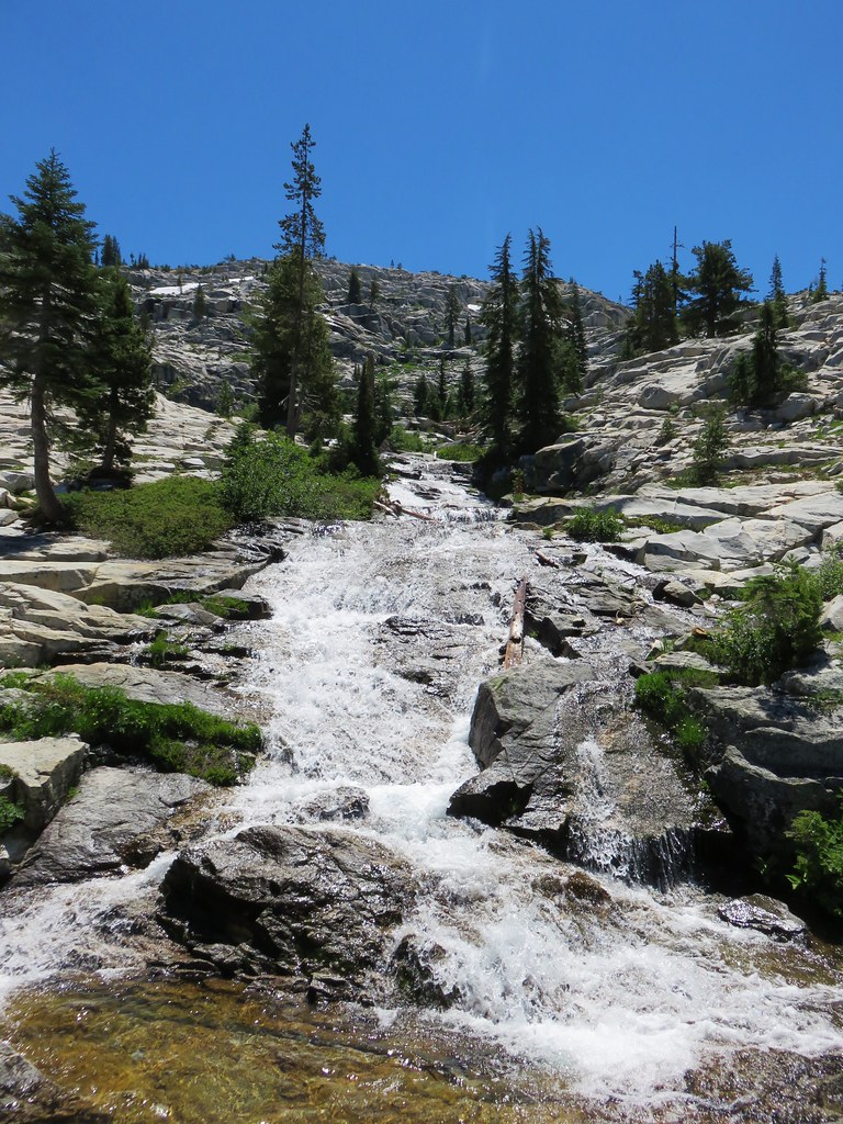
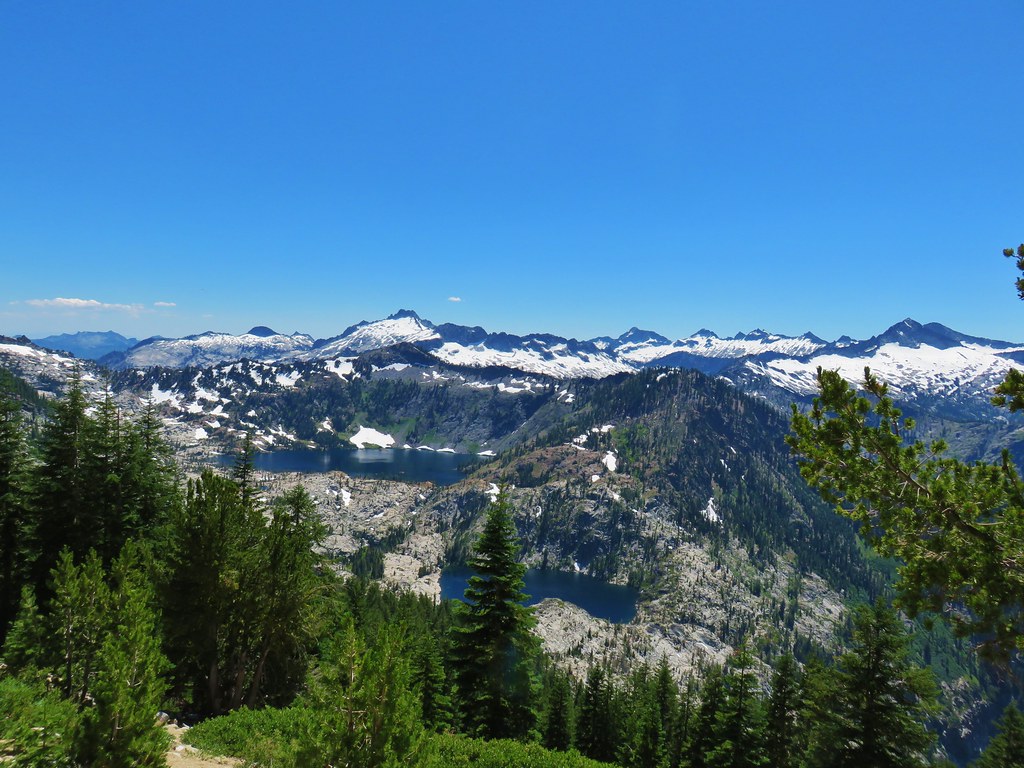
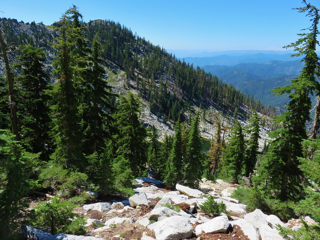
We were on a 2 mile stretch of trail between Browns Meadow and another junction with the Old Trail. This section of trail had some spectacular views across the valley where Caribou Creek was roaring down over the granite.

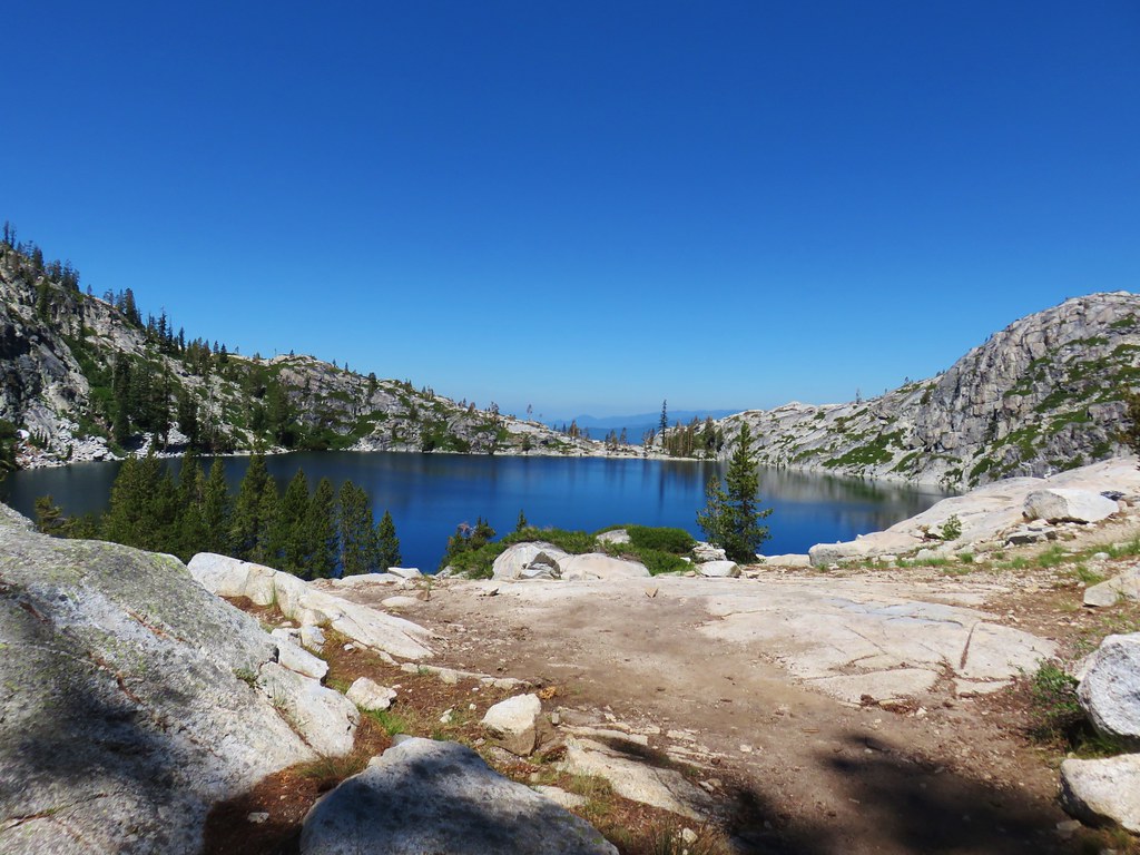
Eventually Caribou and Lower Caribou Lake could bee seen in the basin below Caribou Mountain and Sawtooth Ridge.
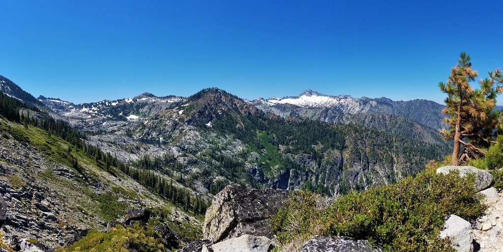
We arrived at the junction with the Old Trail and took a look up at our return route for later.
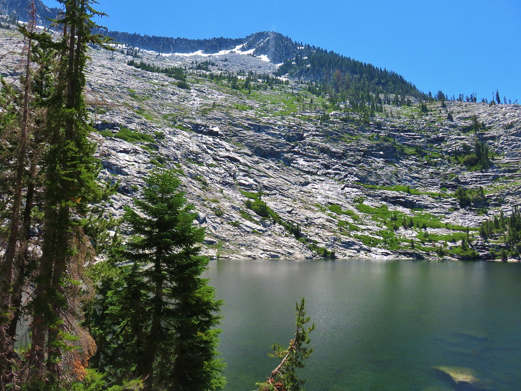
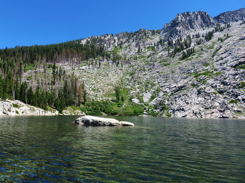
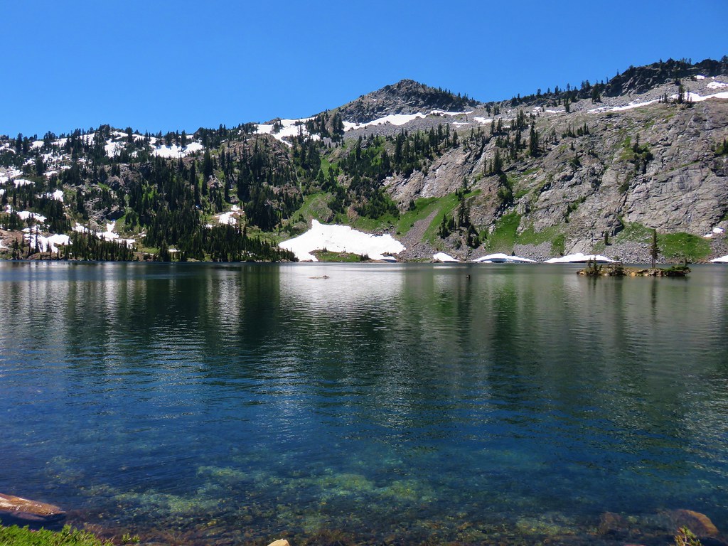
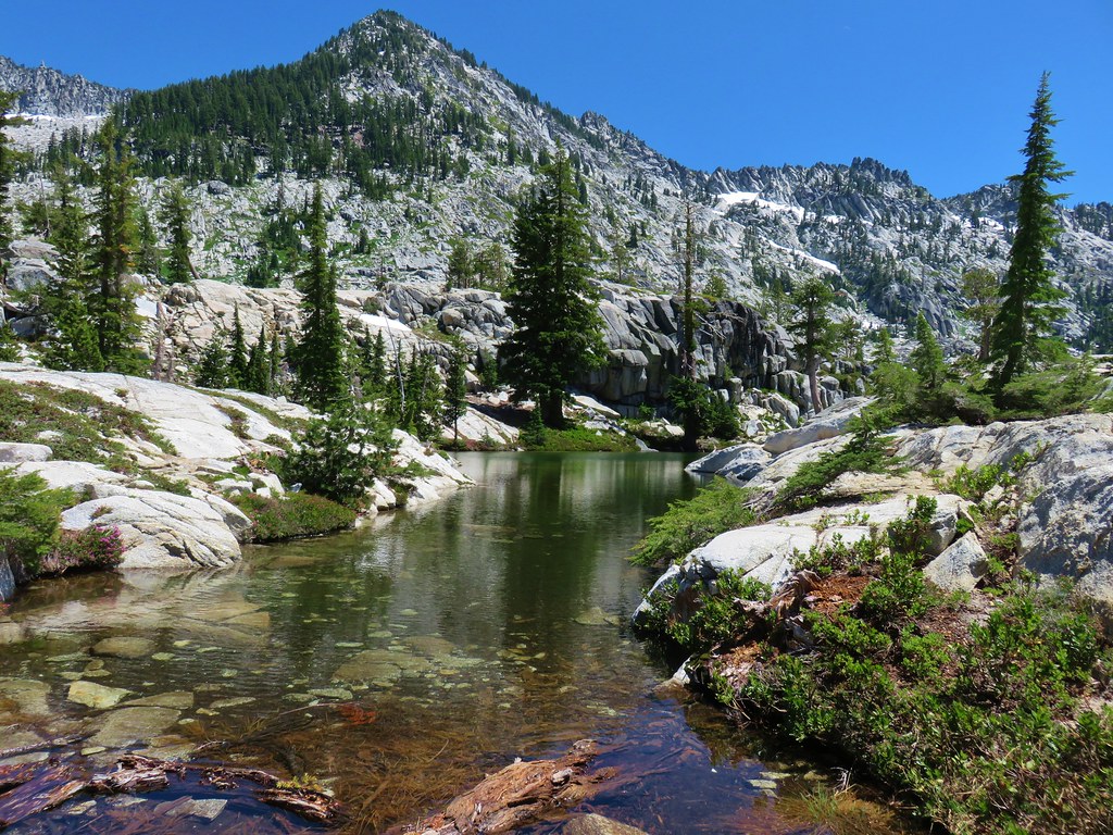
From the junction it was a about a half mile downhill to Snowshoe Lake which was now visible along with the two Caribou Lakes.
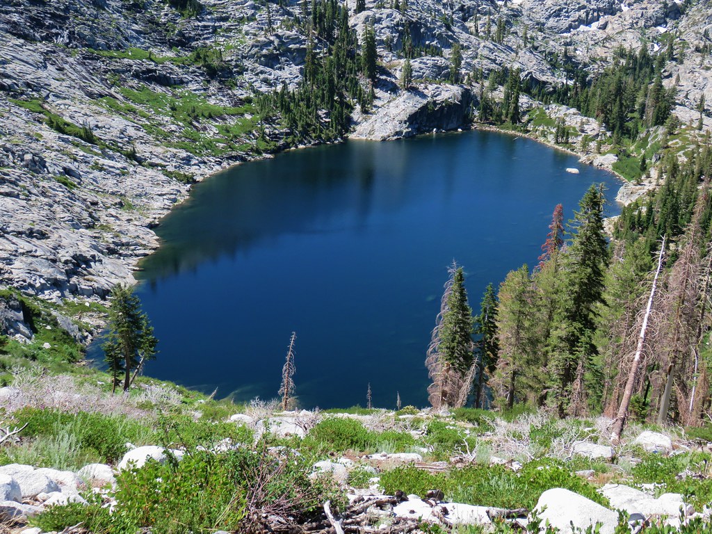
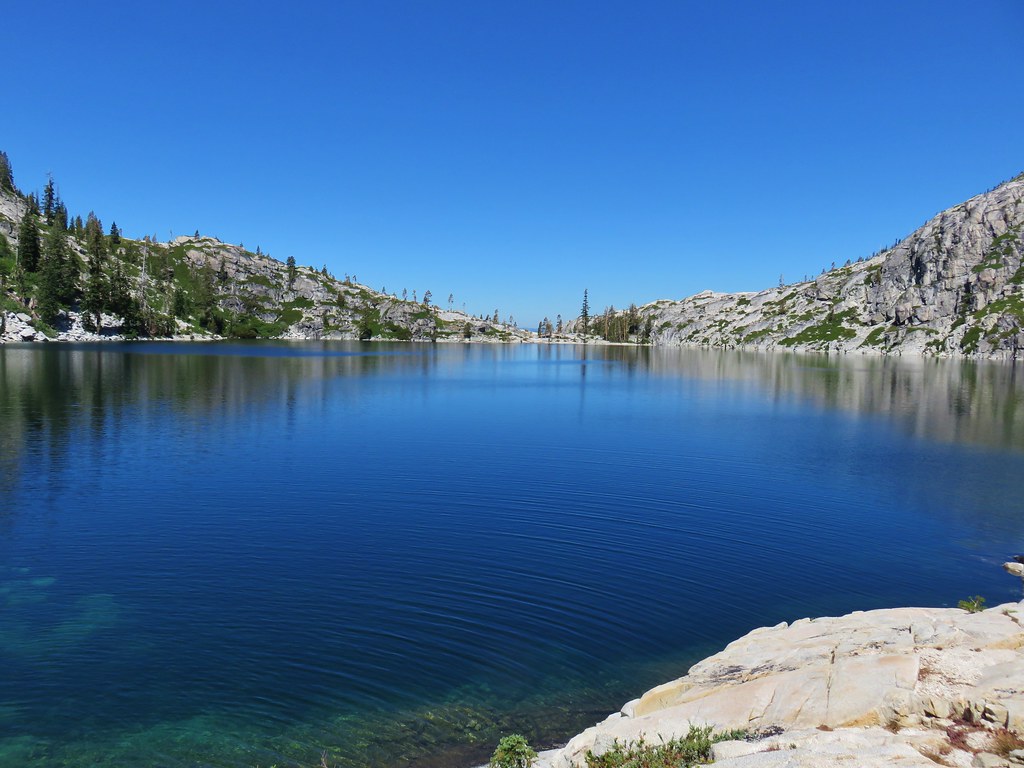
 Caribou Lake
 Snowshoe Lake
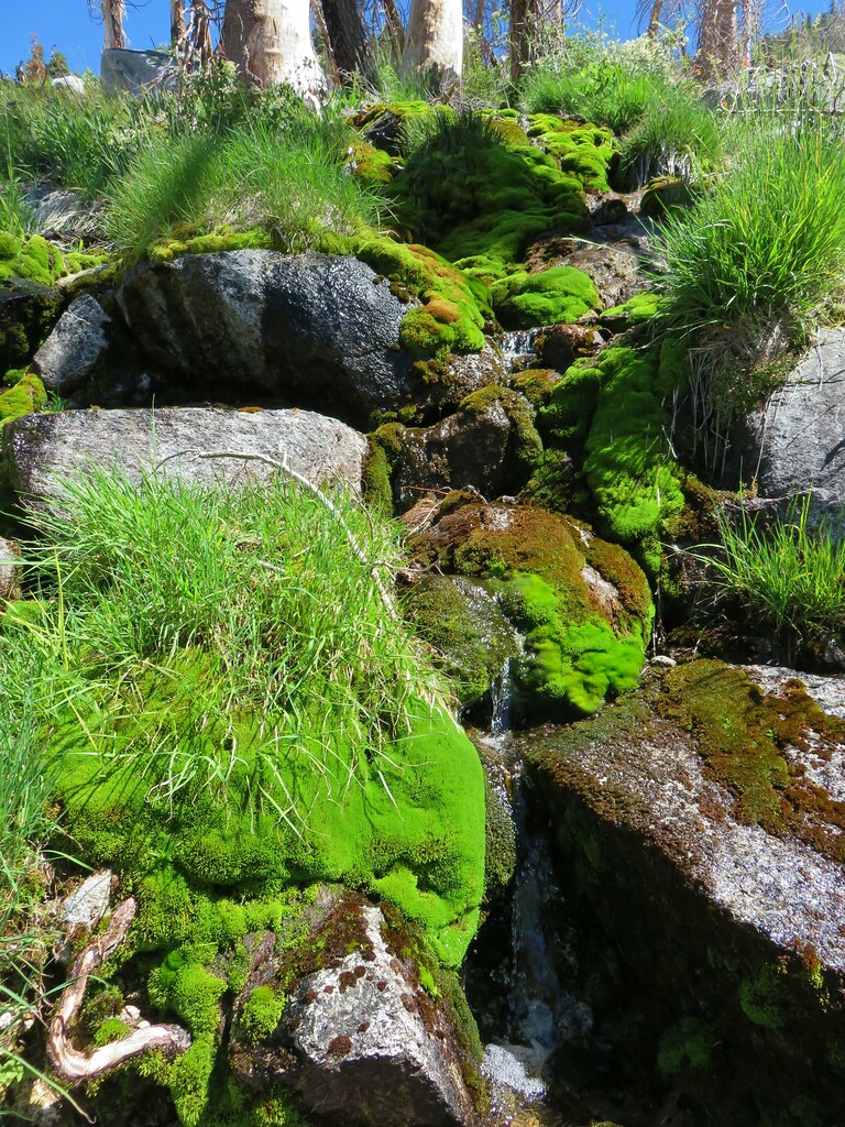
The views from above were simply amazing. We began switchbacking down towards the lakes passing mossy runoff streams and meadows filled with wildflowers.


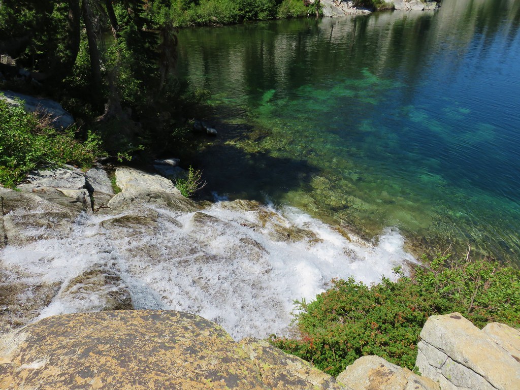
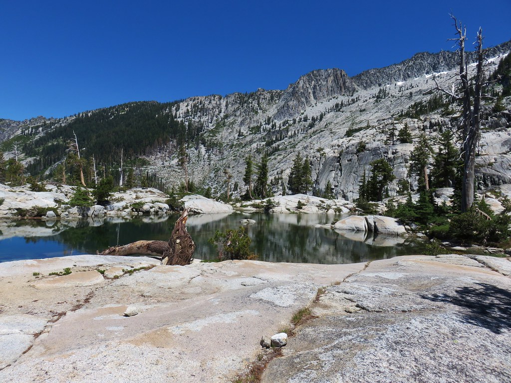
We arrived at Snowshoe Lake and found a spot along the shore to soak our feet in the cool water as we listened to the sound of water cascading into and out of the lake.
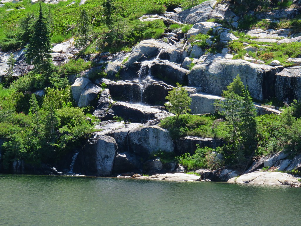
 Snowshoe Lake’s outlet creek
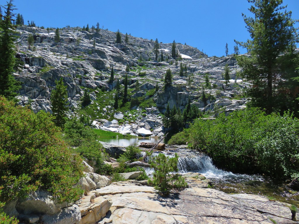
If Snowshoe Lake had been it the hike would have been well worth the effort but there was more to see so after a thoroughly relaxing break we sallied forth following cairns to a small unnamed lake in a meadow.

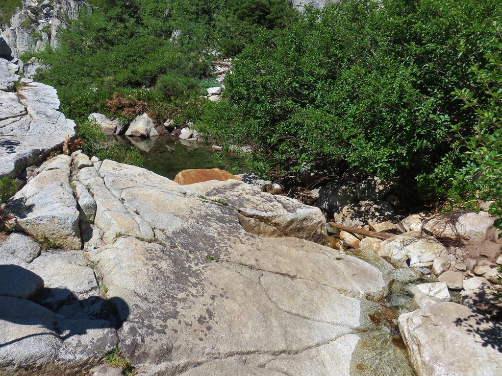
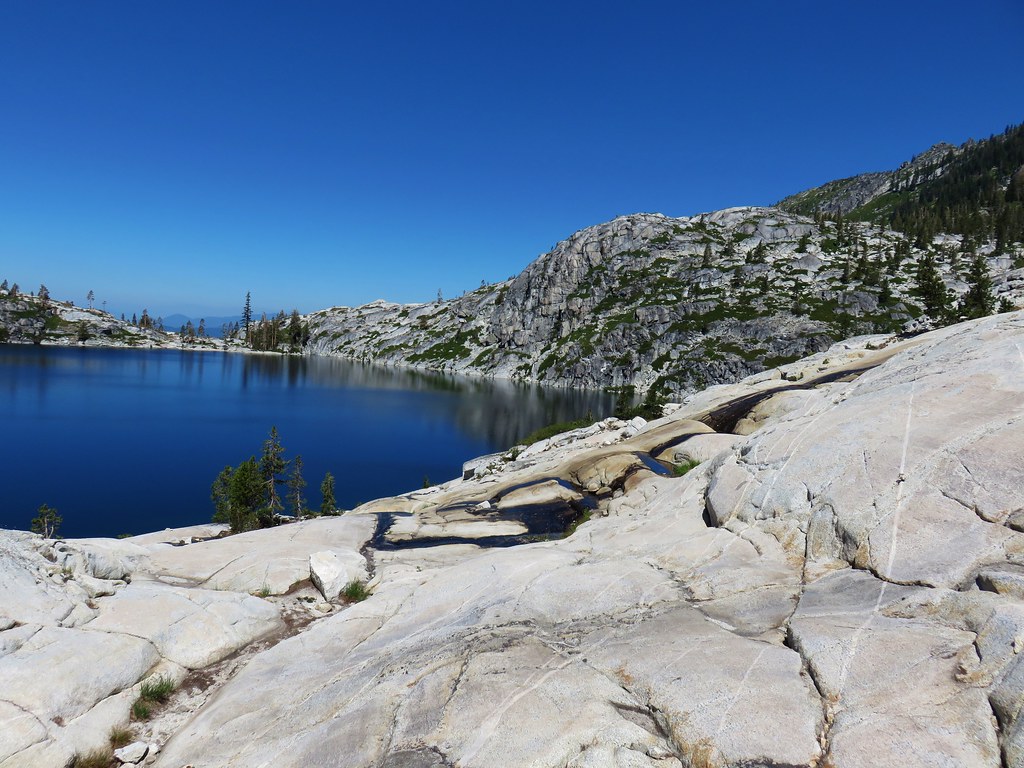
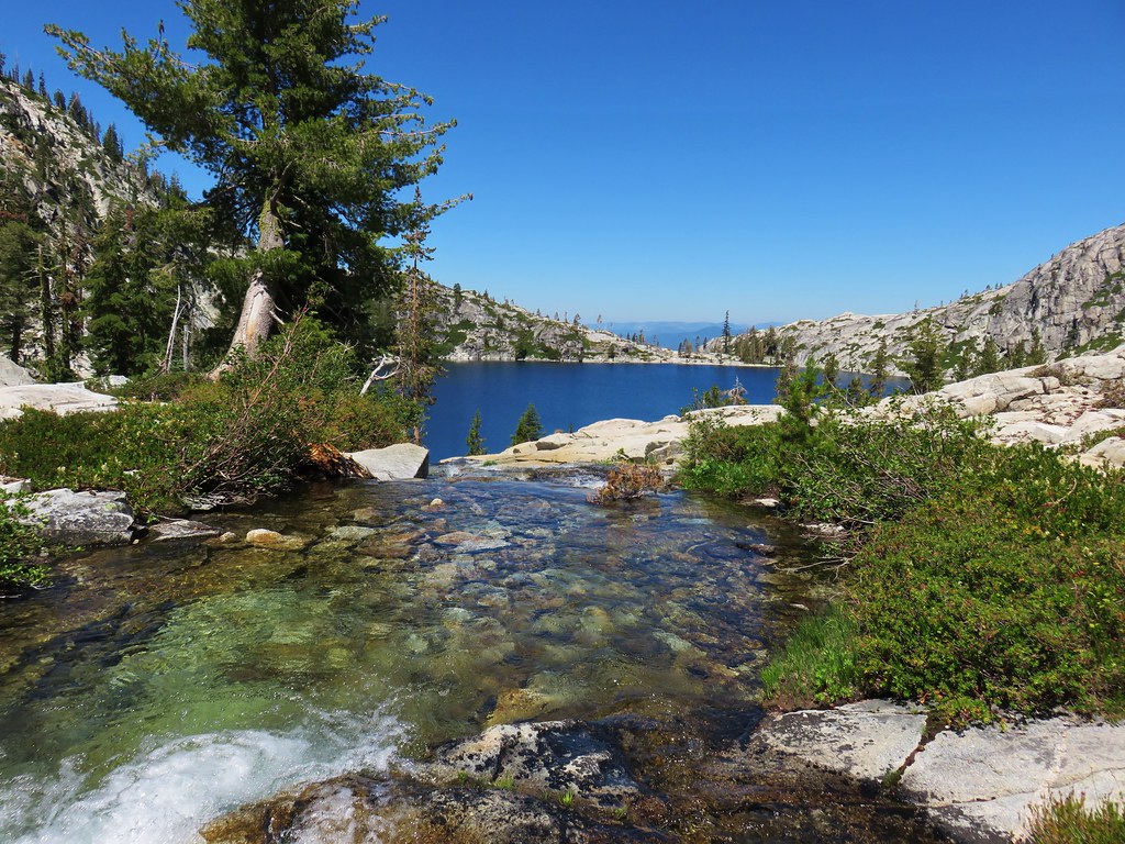
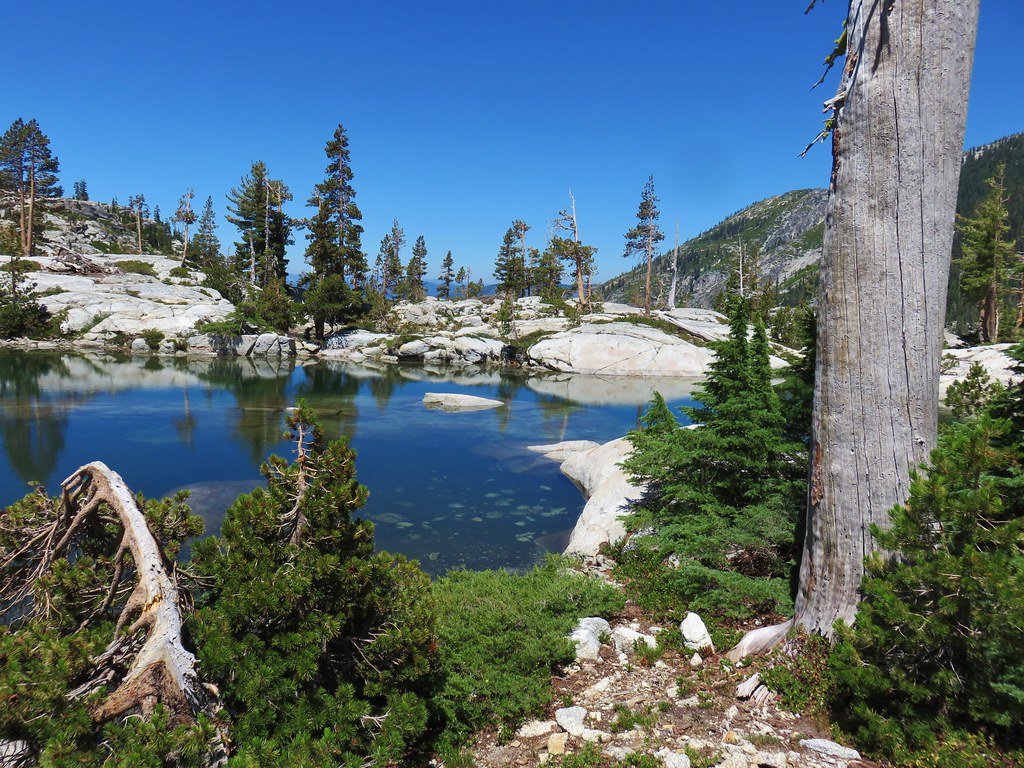
This little lake was fed by creeks flowing from both Snowshoe and Caribou Lake down to Little Caribou Lake. We crossed the creek from Snowshoe Lake on some downed logs and found ourselves on a granite landscape above beautiful Lower Caribou Lake.
Water from snow melt pools flowed over the white rocks in some places.
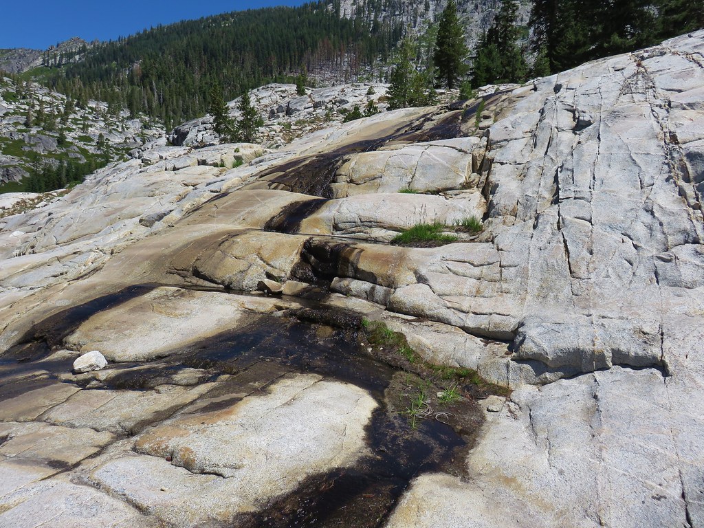
We made our way along the rocks to the inlet creek which proved to be another breathtaking sight.
We followed the stream up to the small lake in the meadow where we hopped across it.

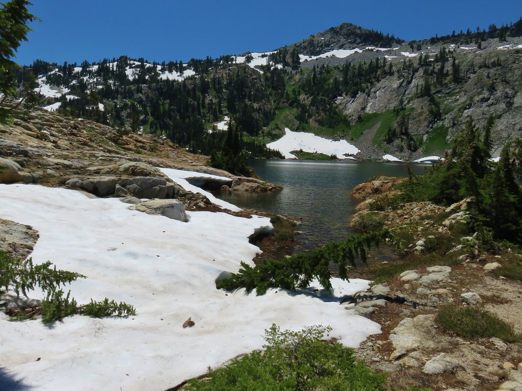
We continued to climb up along the creek until Caribou Lake came into view.


Snowshoe Lake was also visible once again below Caribou Mountain.

We passed several small pools of water on the way to the large lake.

Snow heavy enough to keep small trees down still lingered along the shore.
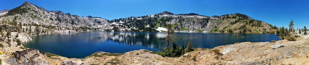
The scene was too big to fit into a single picture making a panorama necessary to even attempt to capture the grand scale of this place.
It is possible (and recommended by those in the know) to hike around the left side of the lake and follow a faint path a little over a mile to a viewpoint along Sawtooth Ridge.

We had contemplated attempting it but that would have made a long day even longer and we still had two more days of hiking ahead of us so we decided to leave that side trip as an excuse to come back to this amazing place someday.
We intended to return to Snowshoe Lake by staying up on the granite above the small lake in the meadow. We started back wandering between even more snow melt pools.

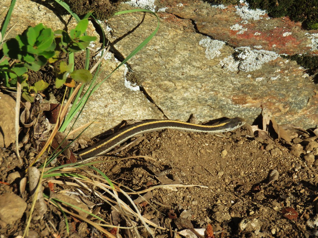
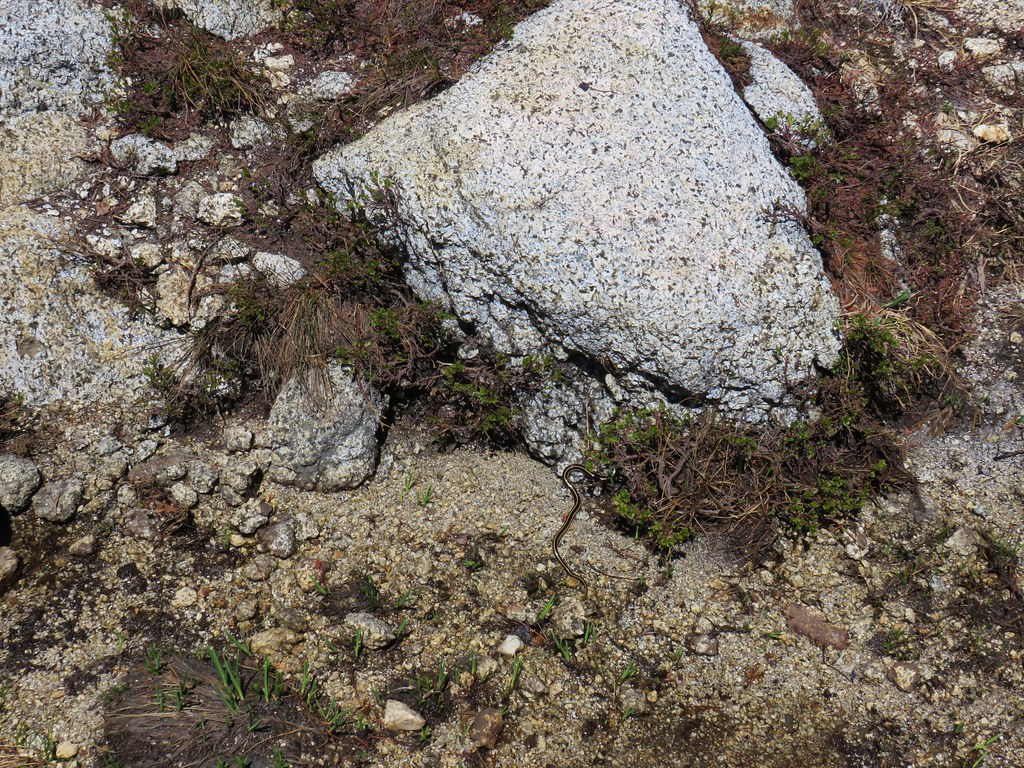
Along the way a snake caught our attention. It had captured a small frog and was in the process of swallowing it. We felt bad for the frog but it was interesting to see nature at work.

We did a poor job of sticking to our planned route and found ourselves back down at the small lake after all. We had a little trouble remembering where we had crossed the creek between Snowshoe Lake and this lake but eventually spotted the logs again which jogged our memories. We made it back to Snowshoe Lake and started the warm climb up to the junction with the Old Trail.
Taking the Old Trail would cut approximately 1.2 miles off our return trip but it also gained about 1000′ of elevation in the first .8 miles as it climbed up and over the shoulder of Caribou Mountain. The shorter distance coupled with a different trail and the promised view from the top was too tempting to pass up despite it being rather warm out.
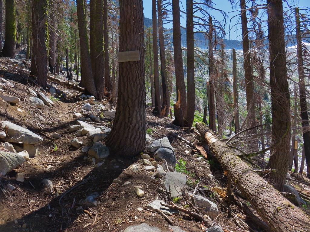
The Old Trail started up through the trees on a mission to seemingly go straight to the top of the ridge as quickly as possible.
The picture taking ended quickly as I became focused on simply trying to keep moving uphill. Eventually I looked back during a couple of breaks to check our progress and admire the lakes. The extra elevation revealed many more of the peaks of the Trinity Alps.
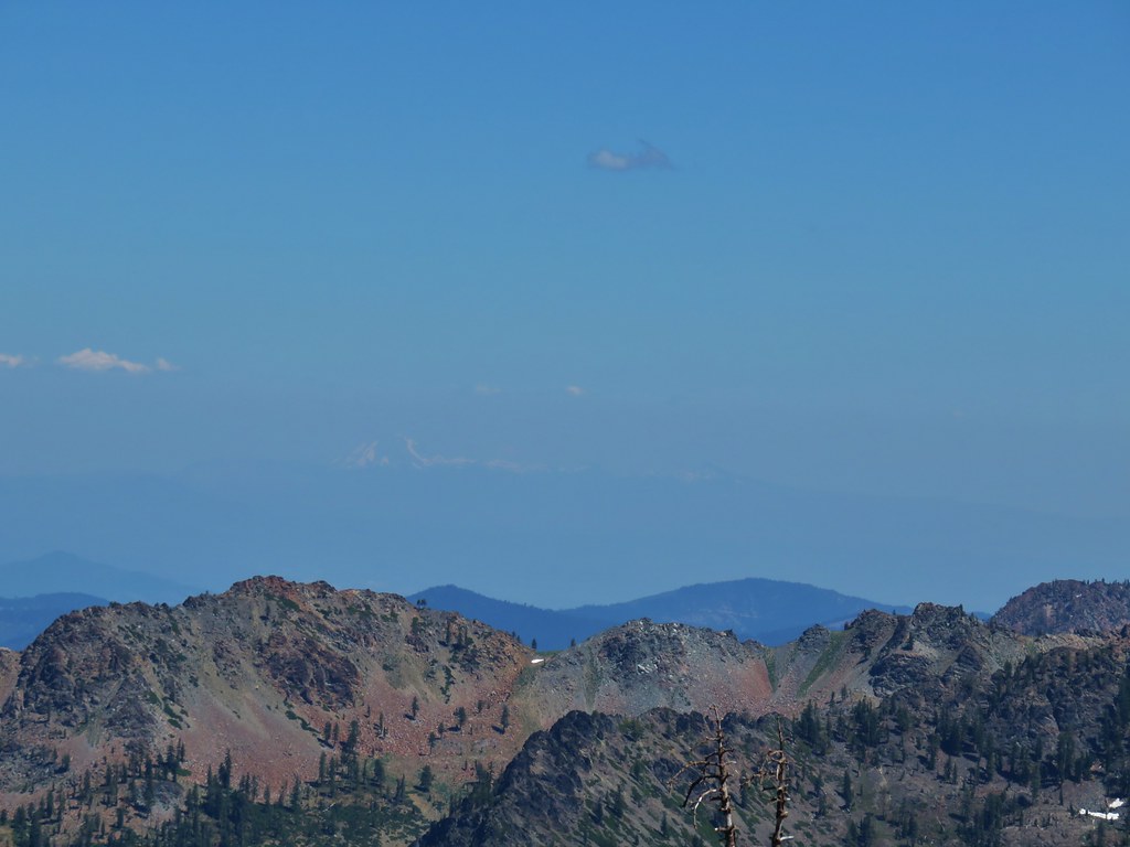
By the time we made it to the top of the ridge we were really wondering what kind of maniac devised this trail. The result of it though was an amazing view. Mt. Shasta loomed to the NE.
Mt. Lassen lay to the SE barely visible through the haze.
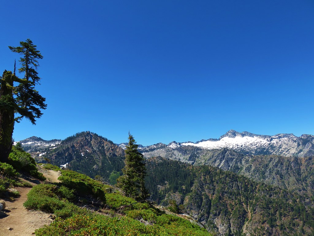
Closer by the ridge ran SE to the summit of Caribou Mountain, a route that will be very tempting when we return with more time someday.
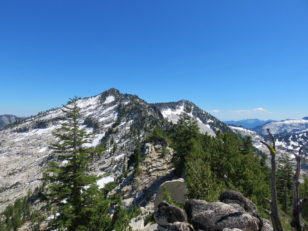
To the SW was the heart of the Trinity Alps.

We had been a little concerned with the possibility of encountering snowfields near the top but we did have our MICROspikes handy just in case. As it turned out there was only one small patch of snow left as we started down the other side, and it posed no problem.
The descent was twice as long as the climb but it was no less steep losing nearly 2000′ in 1.6 miles to Caribou Meadows.
Along the way we passed a partly obscured view of Little Caribou Lake which lay in its own glacial cirque to the SW of Browns Meadow.
The trail did level out a bit for a short stretch where we could look back at Caribou Mountain and the forested slope we’d just descended.

A final drop brought us back to Caribou Meadows.
We decided to complete the figure 8 and continue following the Old Trail down to its other junction near the river. After passing through the meadow the trail once again dove seemingly straight down along a small stream crossing it twice.
Beyond the second crossing the trail leveled out traversing along an open, hot, hillside. The GPS track shows that this final 1.5 miles to the junction resulted in a net loss of elevation but it sure felt like we were going uphill a lot.

We were pretty hot and tired as we trudged along and began getting funny looks from the locals.

Things cooled off a bit when we finally reached some trees along the river near the junction.
When we arrived at the junction with the New Trail we wondered how we’d missed the split that morning, we didn’t see any signs but the tread was clear. A good example of how easy it is to miss things even when you think you’re paying attention. We recrossed the river on the log and returned to our car a bit tired, a little sore, and completely satisfied with our first visit to the Trinity Alps. Happy Trails!
Flickr: Caribou Lakes

6 replies on “Caribou Lakes – Trinity Alps Wilderness”
outstanding photos. I love that high mountain granite.
[…] four of California’s wilderness areas: Russian (post), Castle Crags (post), Trinity Alps (post), and Mt. Shasta (post). Our visit the the Trinity Alps brought us to the most southerly point […]
Looks like a fantastic hike!
It was. Unfortunately most of the trails were burned recently in one of the fires. 😔
[…] Mountain (post) on the right with Sawtooth Mountain over its […]
[…] #94 Kangaroo Lake-Hiked 7/23/2017 #95 Deadfall Lakes-Hiked 7/25/2017 #96 Caribou Lake-Hiked 7/27/2017 #97 Castle Lake-Hiked 7/26/2017 #98 Castle Crags-Hiked 7/26/2017 #99 Black Butte-Hiked 7/28/2017 […]