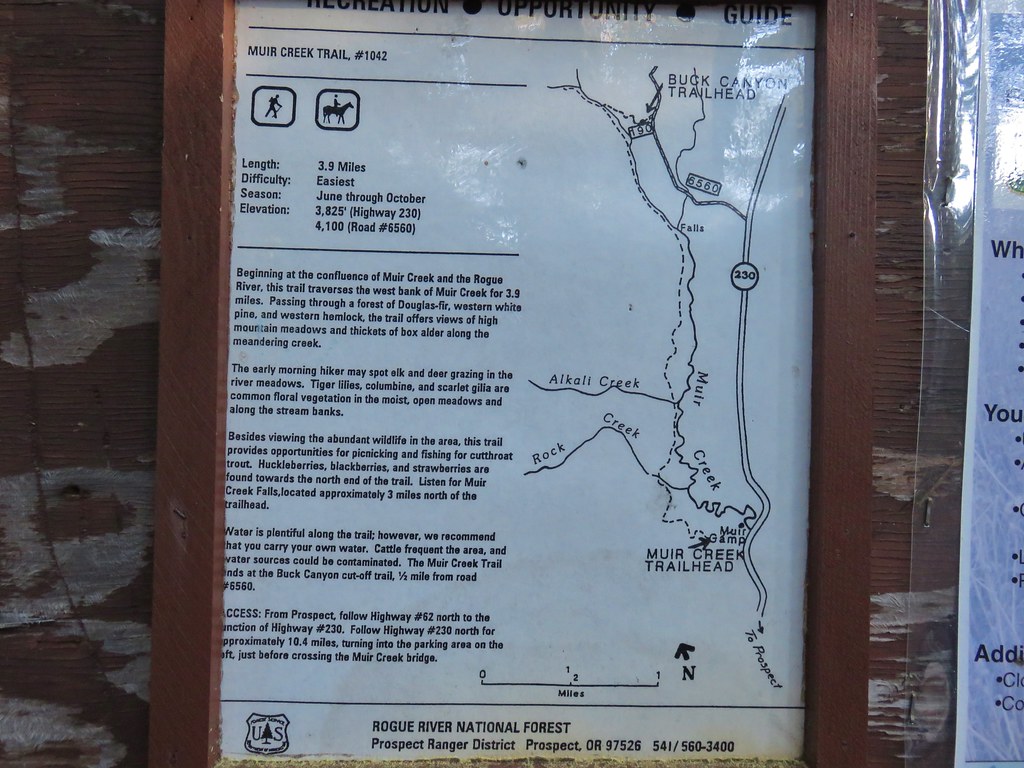
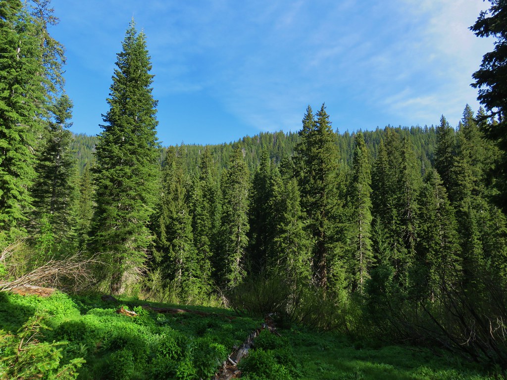
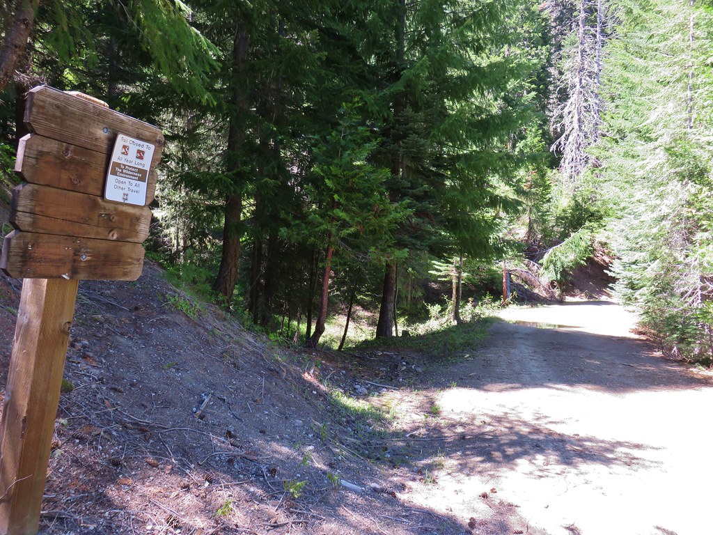
We had planned our most adventurous hike of Memorial Day weekend for Sunday. The goal was a long loop into the Rogue-Umpqua Divide Wilderness, one of the wilderness areas we had yet to visit in our outings. Our intended route was to begin at the Muir Creek Trailhead and complete a 15.5 mile loop described by William Sullivan in his Southern Oregon & Northern California guidebook (Hike #37 in the 2017 4th edition). We were pushing the envelope a bit by attempting the loop this early in the year given that the route would take us to an elevation just over 6000′. A May 8, 2015 variation of the loop by fellow hiker Van Marmot appeared to have been snow free (trip report). That was an extremely low snow year and although this years snow pack was well below normal it isn’t nearly as bad as it was in 2015. We hoped the extra two weeks in timing would at least make what snow might be left passable. We figured the worst case scenario would be that we would hike up the creek as far as possible and make it an out-and-back if necessary.
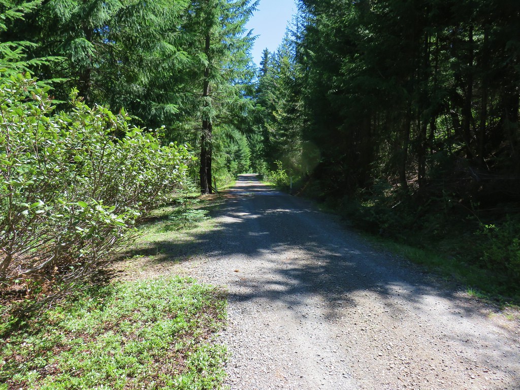
With plans A & B at the ready we left Bend a bit before 5am and were ready to set off on the Muir Creek Trail by 6:45.
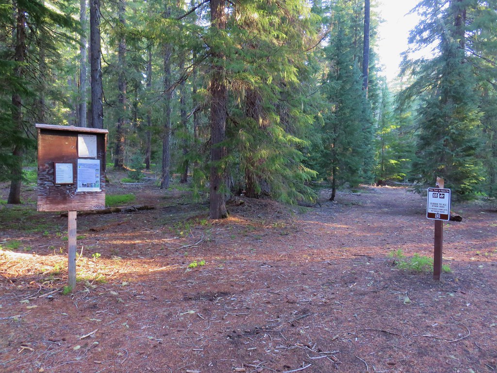
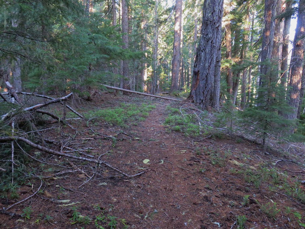
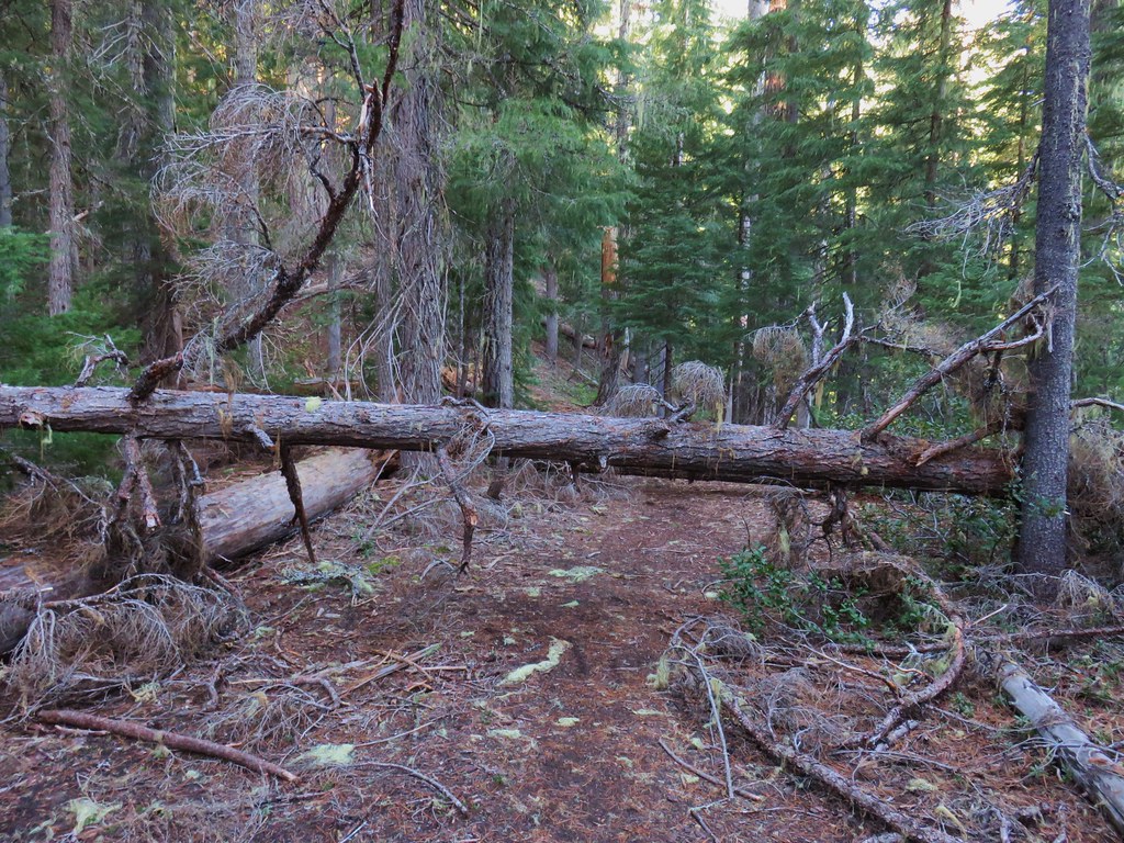
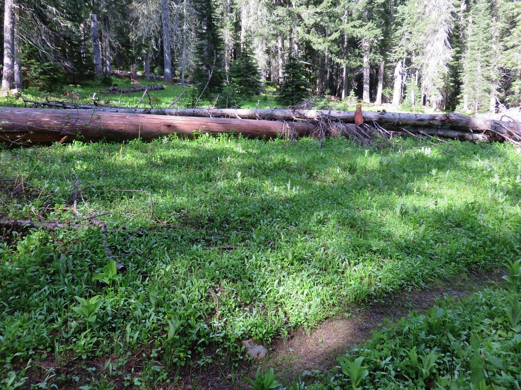
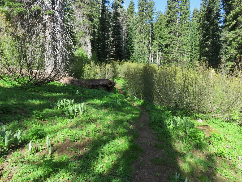
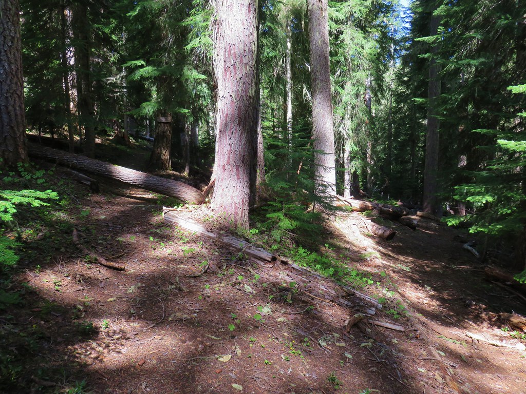
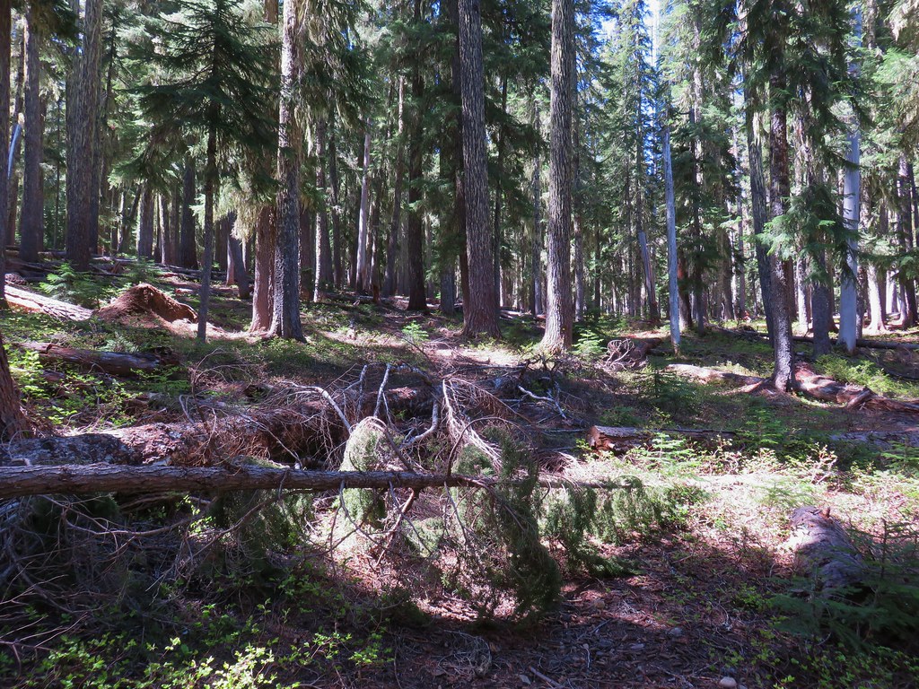
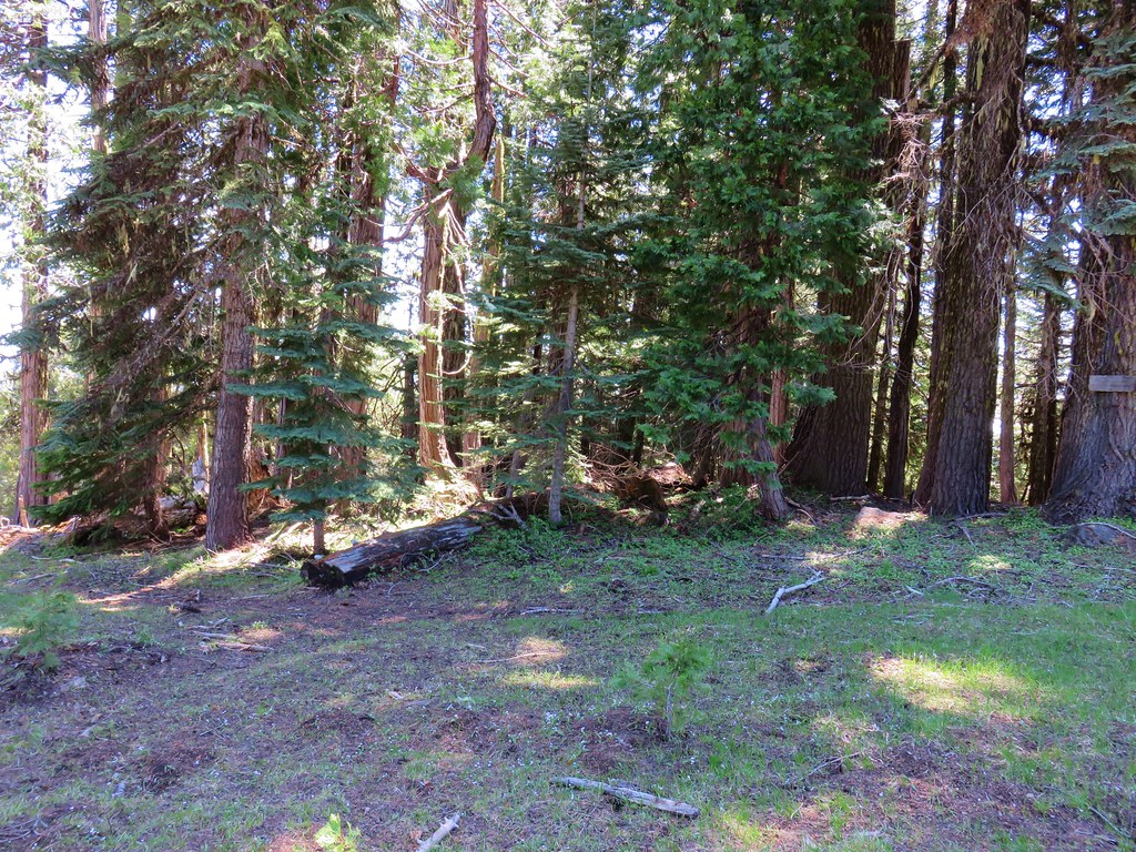
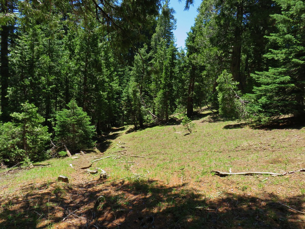
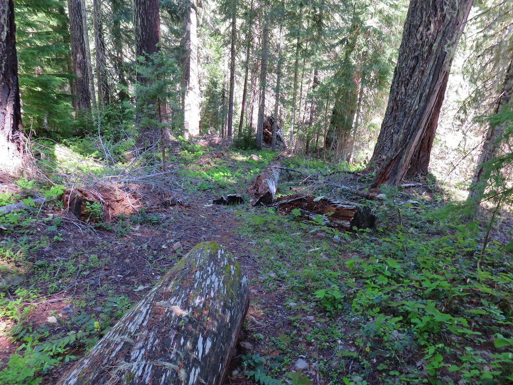
It was a crisp 35 degrees as we set off through the forest. We were soon climbing over and around a good deal of blowdown.
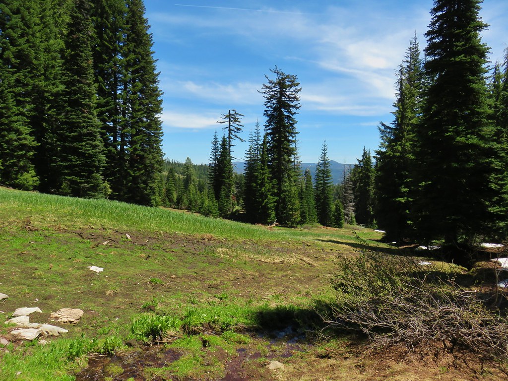
It wasn’t long before we began getting our first views of the meadows along Muir Creek.
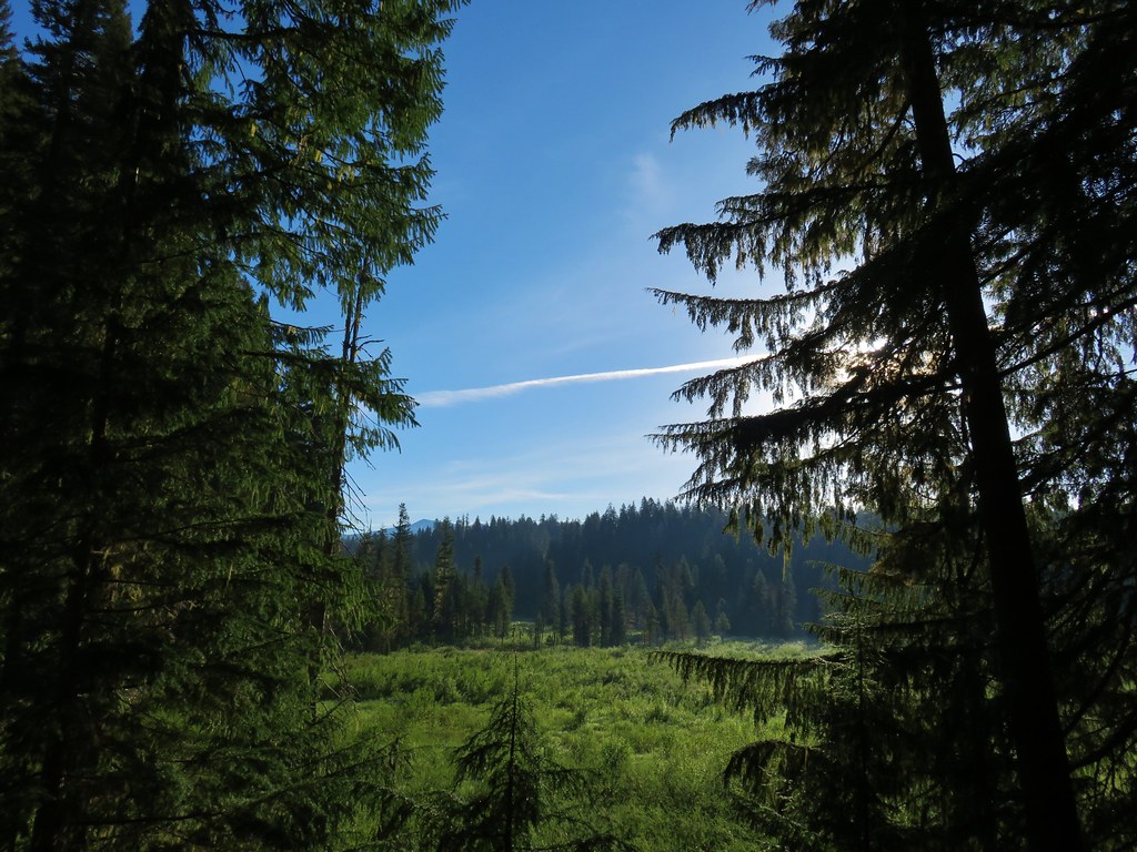
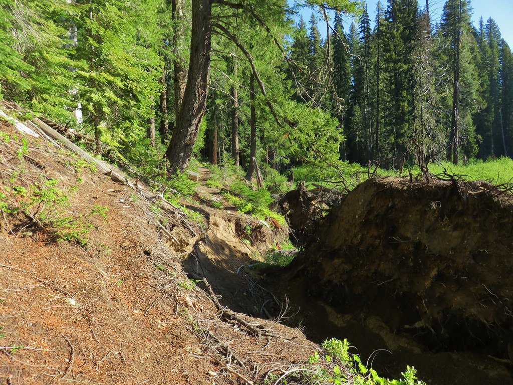
We were on the lookout for wildlife in the meadows as well as any sign of where the abandoned portion of the Meadow Creek Trail might drop us back onto the Muir Creek Trail if we were indeed able to complete the loop. We expected that junction to be somewhere near the one mile mark but never noticed anything that looked like it might be the old trail. Beyond the one mile mark we encountered what appeared to be a somewhat recently eroded section of trail.
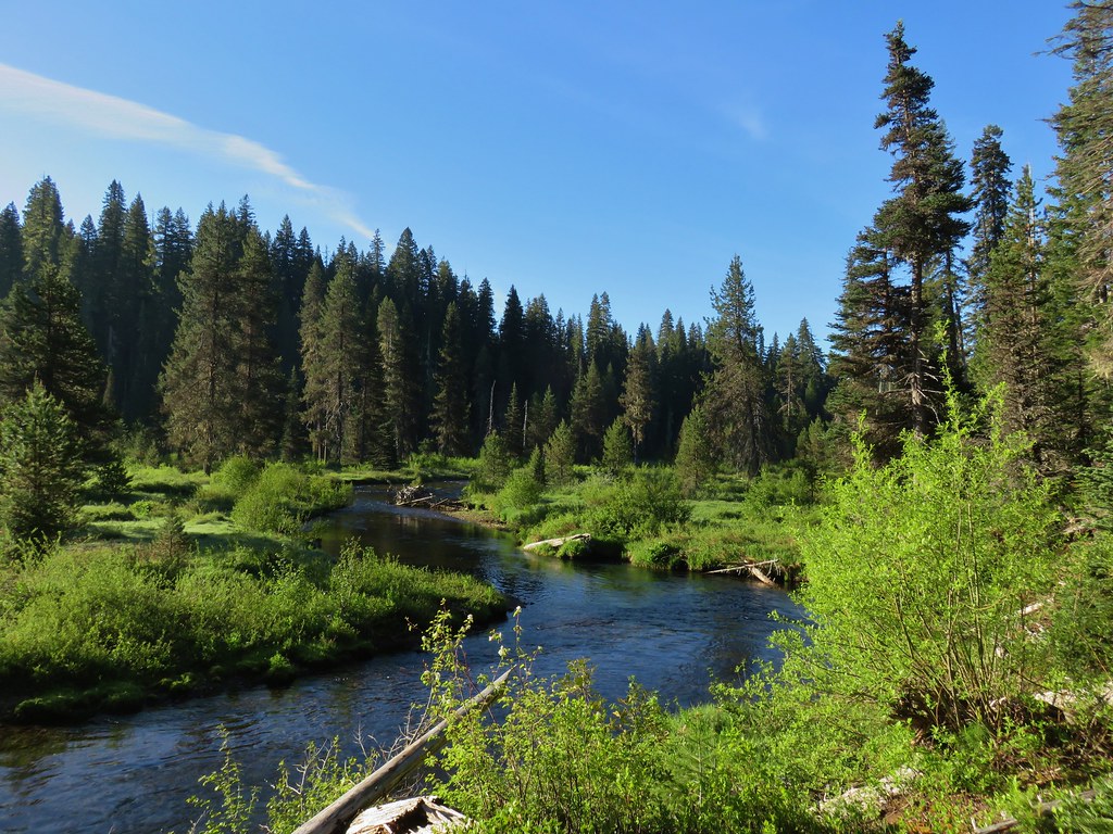
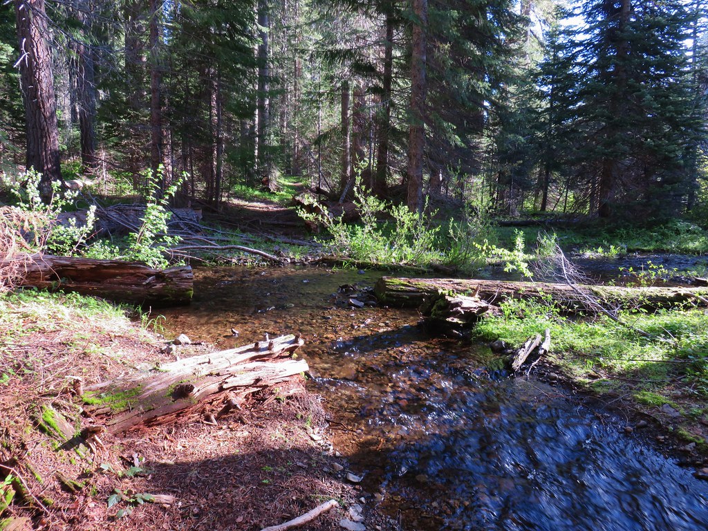
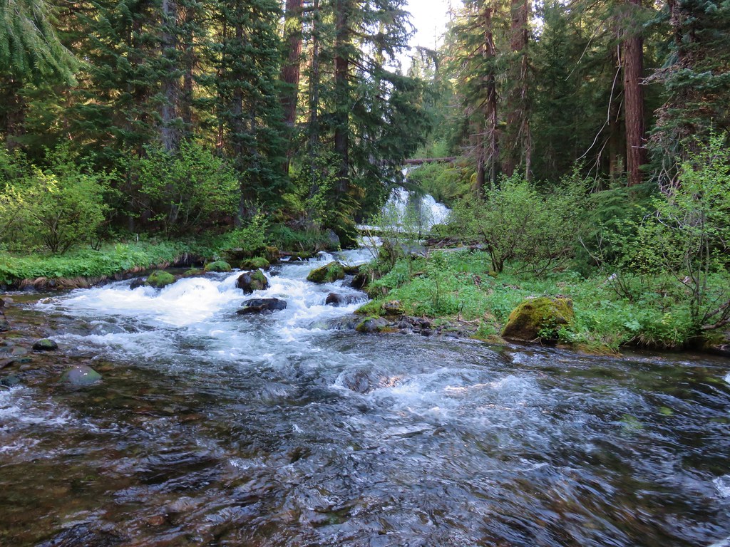
Just under a mile and a half from the trailhead we came to a beautiful view of Muir Creek as it flowed through a meadow.

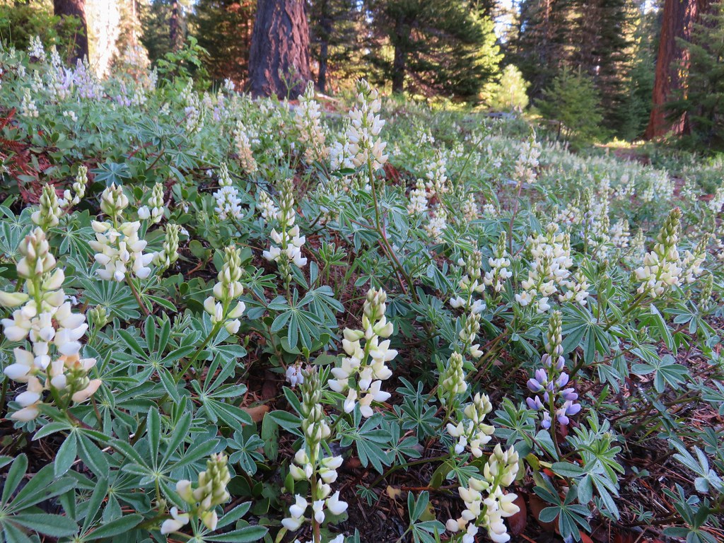
Just beyond the viewpoint we passed a nice patch of white lupine along the trail.
Then we came to Alkali Creek which proved to be a little challenging to get across dry footed but we managed to find a fairly dry route.
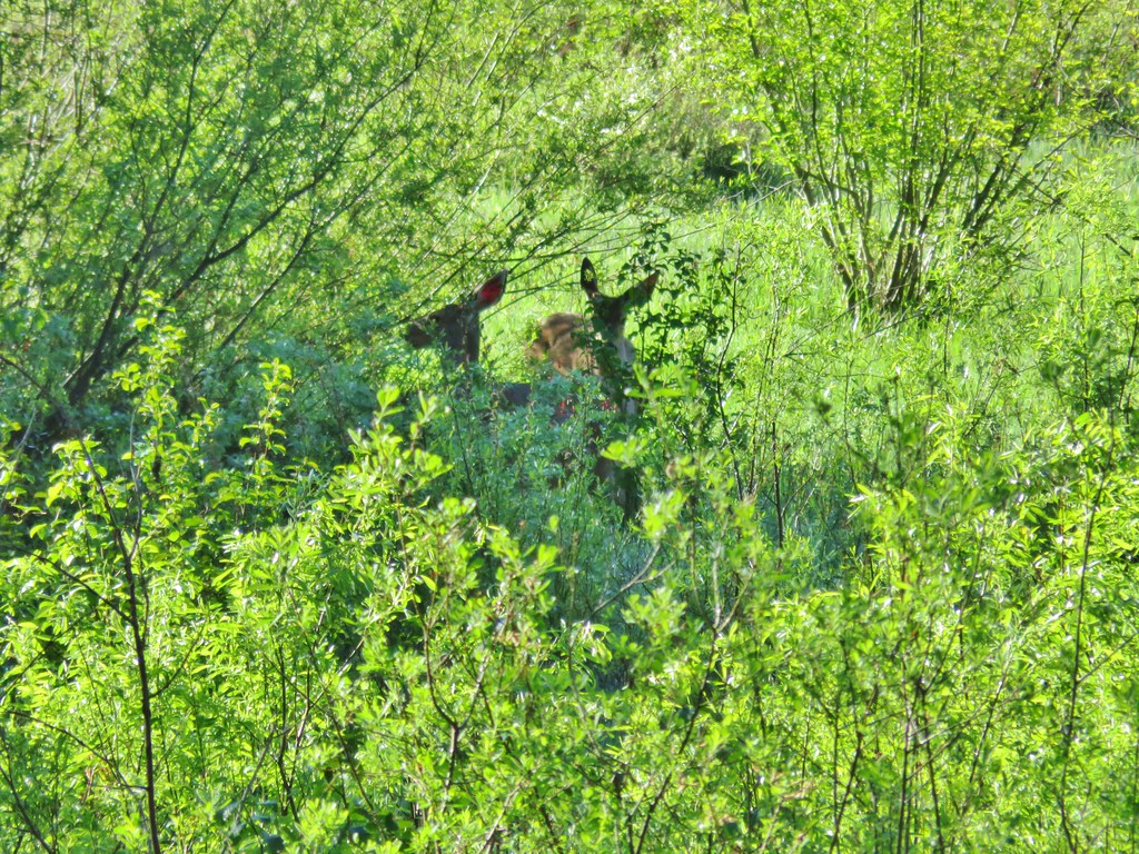
The trail spent most if its time in the forest but occasional openings in the trees provided meadow views and at one point we spotted a pair of deer nibbling on some bushes.
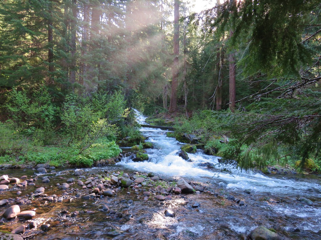
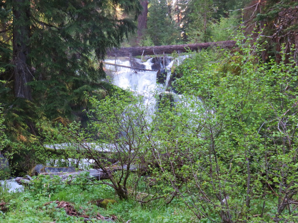
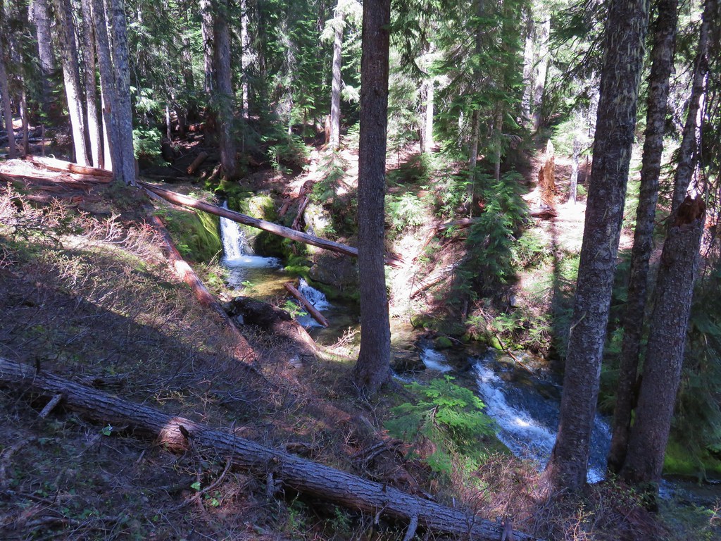
Roughly two and three quarter miles from the trailhead we spotted East Fork Muir Creek Falls. Here we also saw the only other people we would see along the trail all day, a couple of backpackers who had set up camp near the falls.
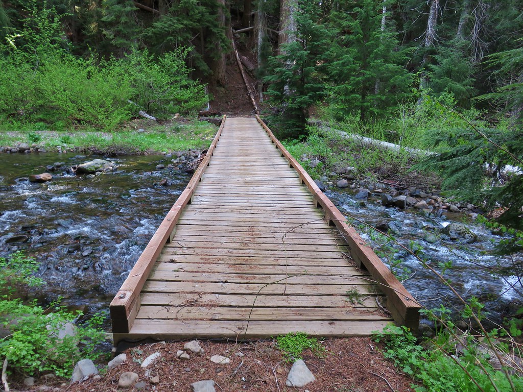
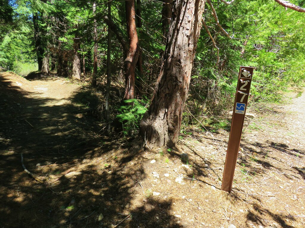
Beyond the falls the trail continued up along West Fork Muir Creek briefly joining OHV Trail 27.
We left the OHV Trail at a bridge over the creek after a couple tenths of a mile.
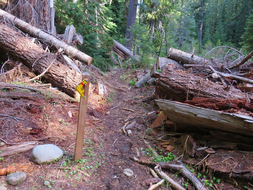
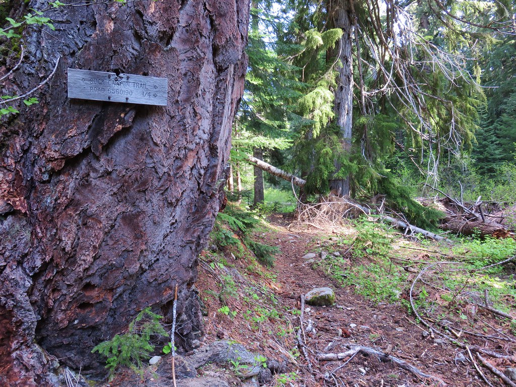
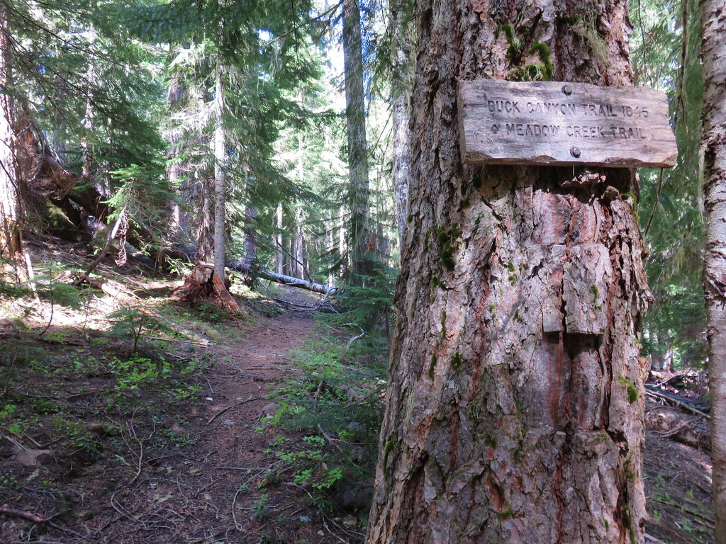
We were now on the Buck Canyon Trail which began at road 6560/190 on the other side of the bridge at the Buck Canyon Trailhead.
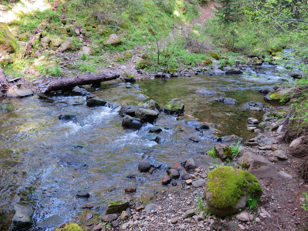
Approximately a quarter mile from the bridge we came to the first of two bridgeless crossings of the creek. We searched to no avail for a place where we could cross without getting wet and eventually decided to ford the creek which was only calf deep but it was cold.
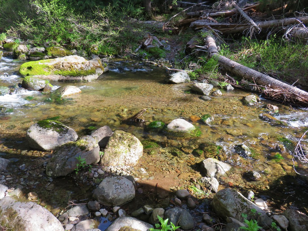
A quarter mile later we were faced with a similar situation and plunged through the icy water again.
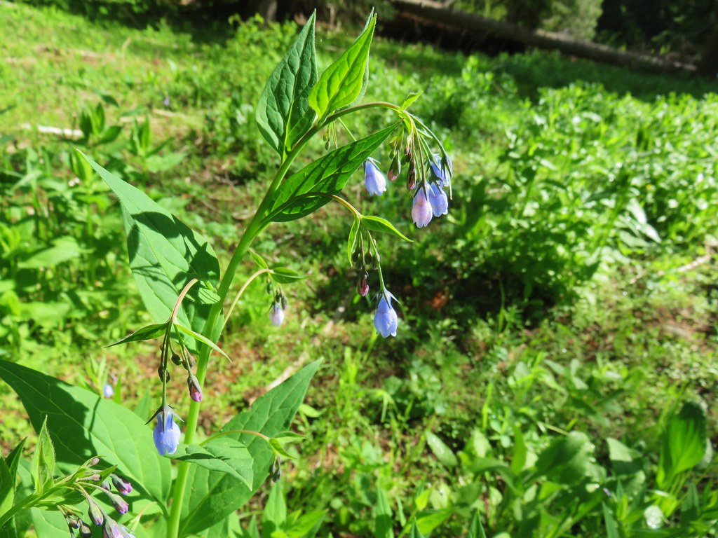
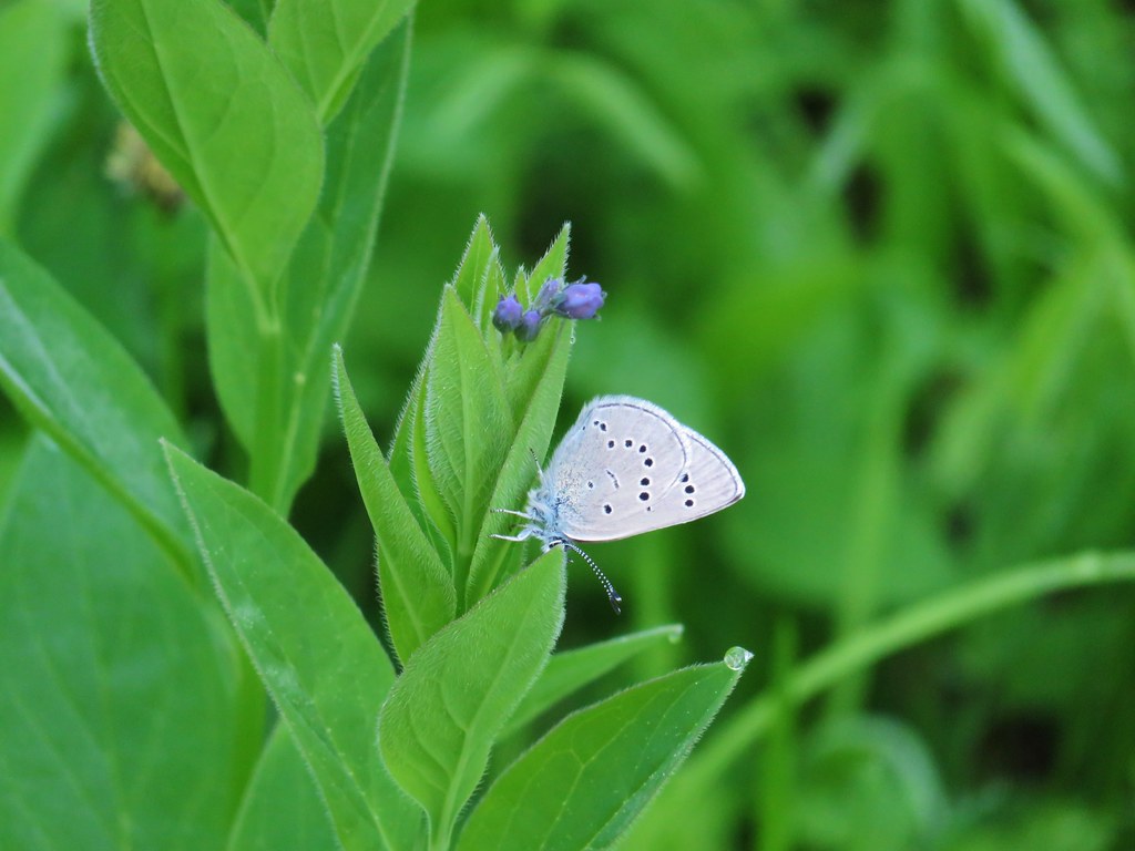
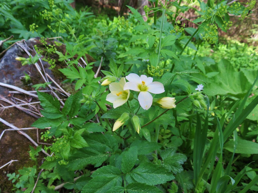
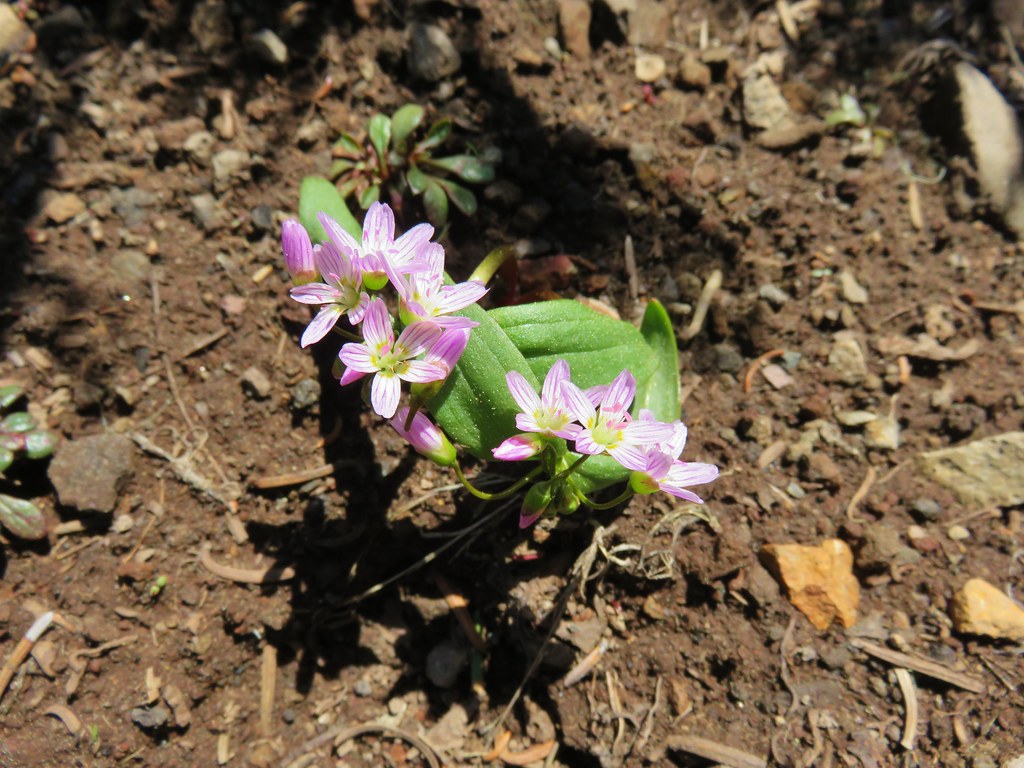
In a small meadow we found some tall mountain bluebells beginning to bloom and a butterfly who appeared to be waiting for the flowers.
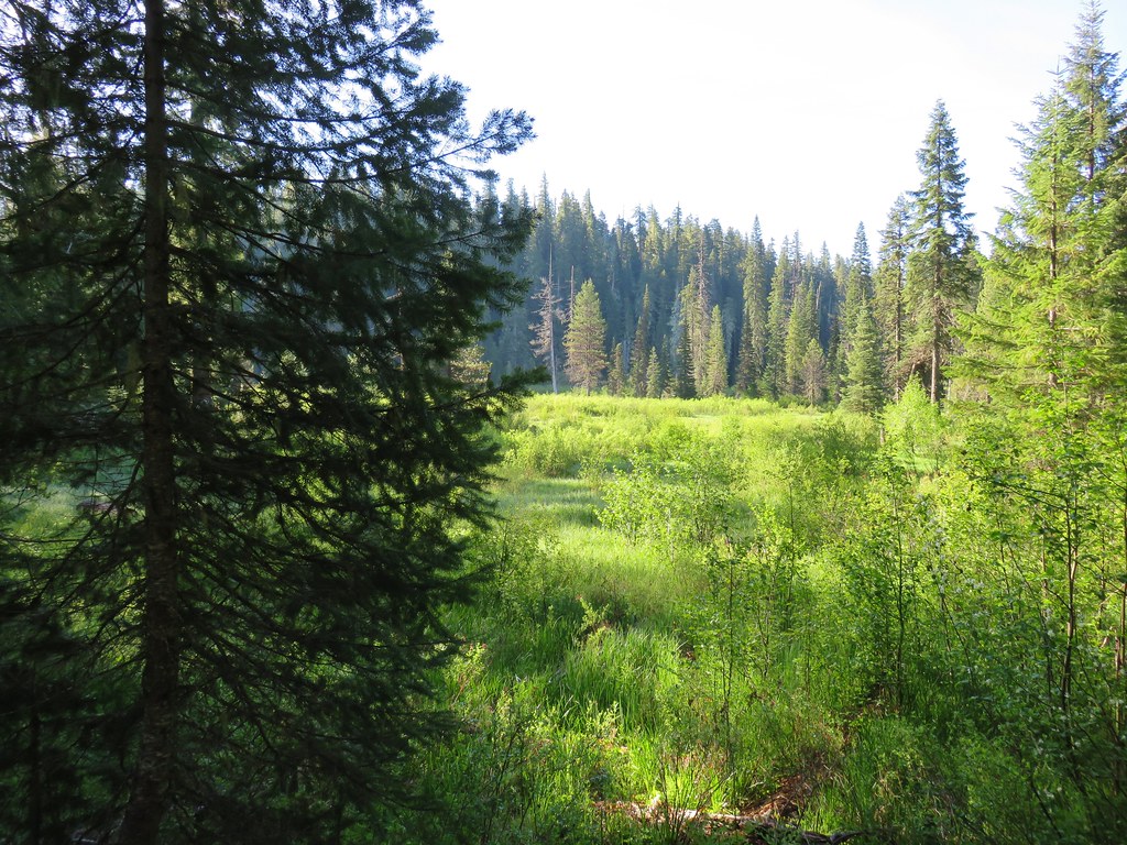
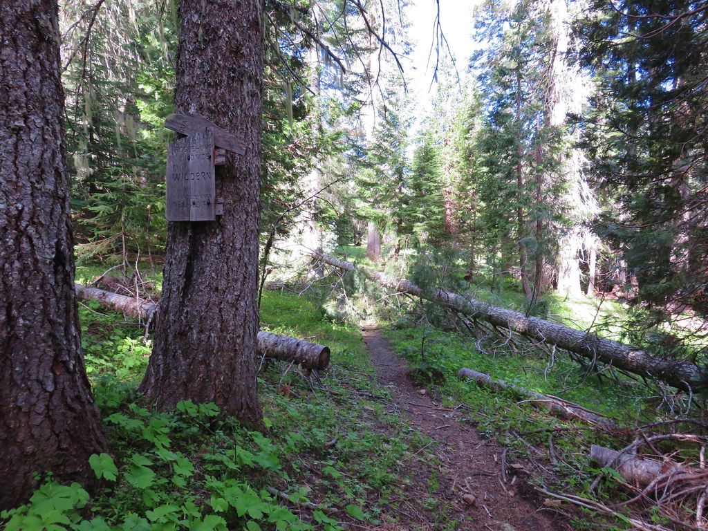
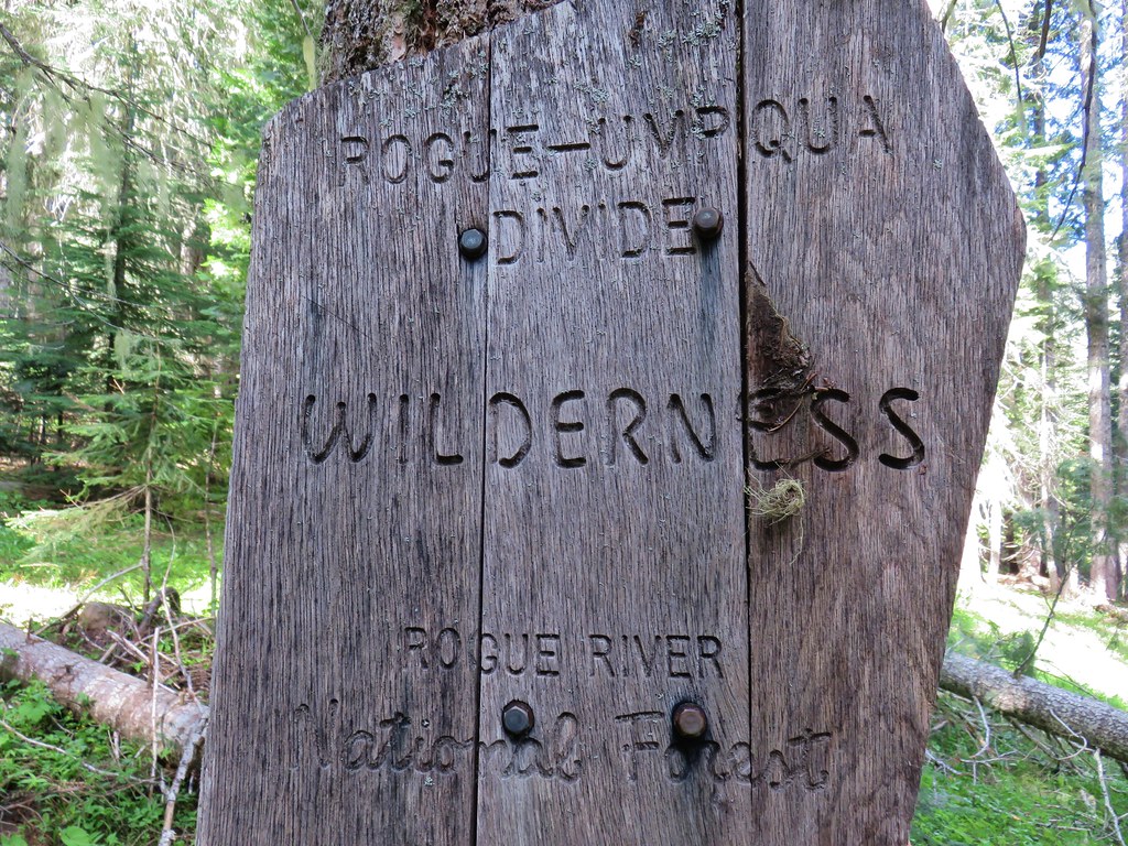
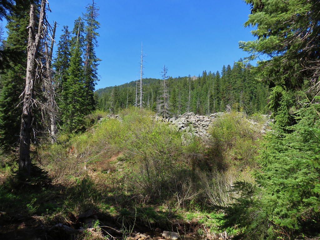
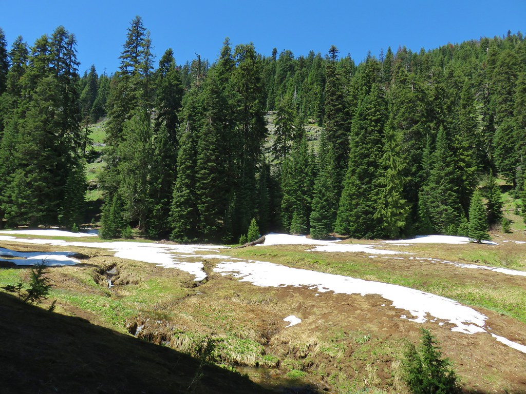
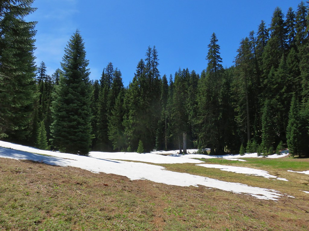
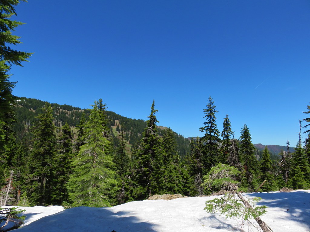
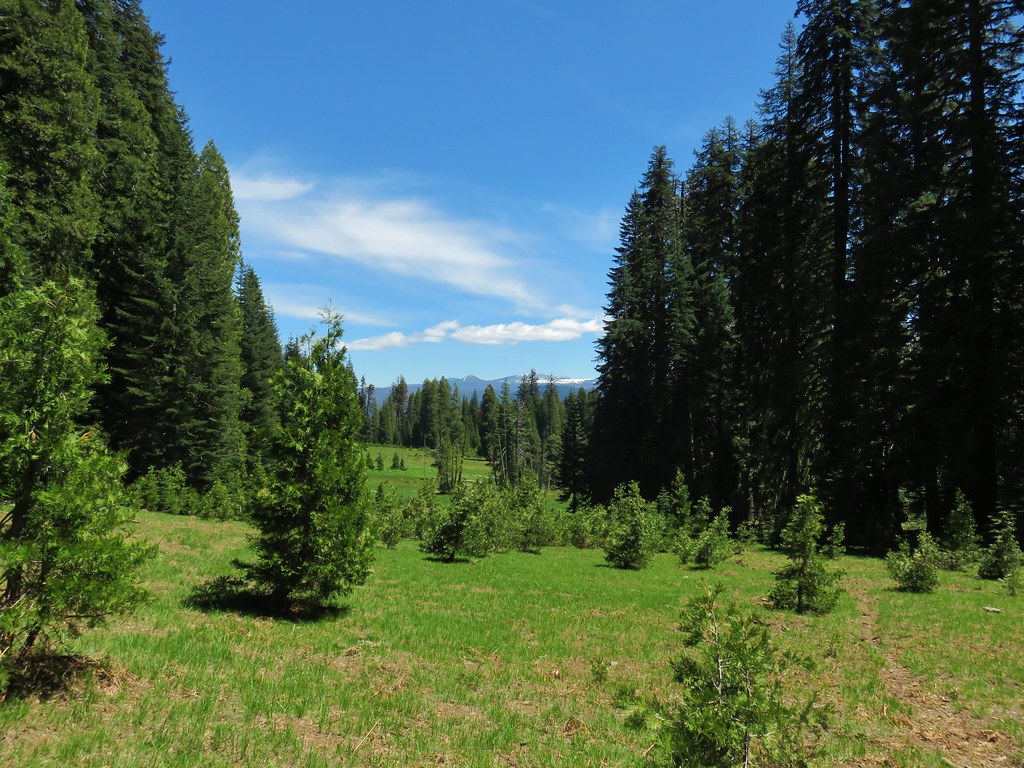
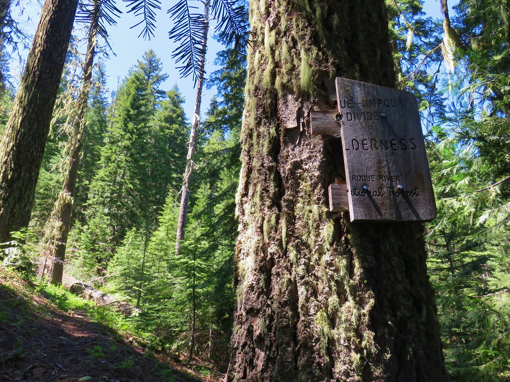
The meadows increased as we officially entered the Rogue-Umpqua Divide Wilderness.
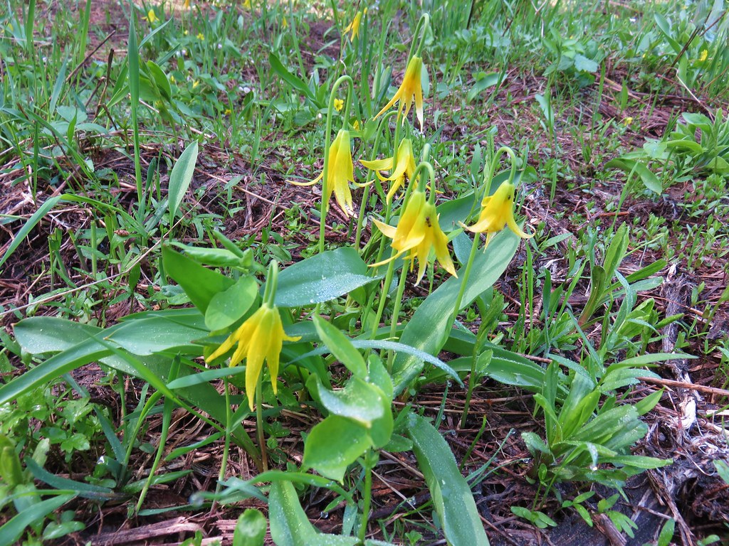
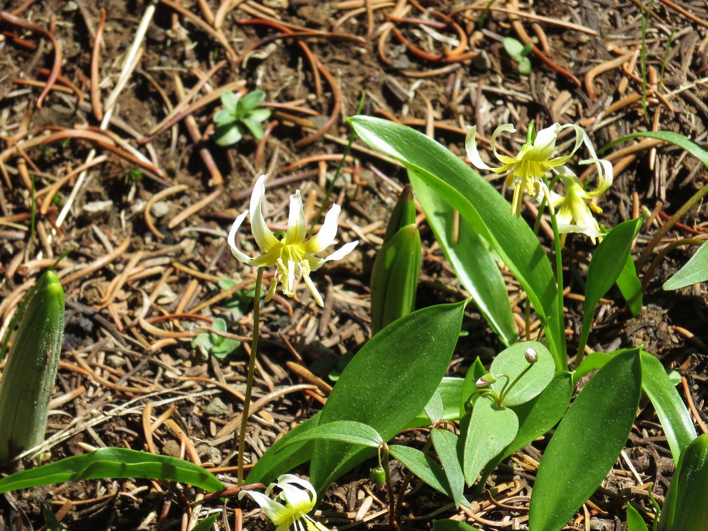
We soon entered Hummingbird Meadows which had a nice display of yellow glacier lilies.

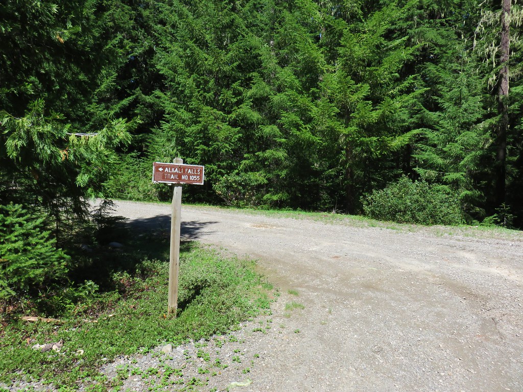
We also spotted a coyote here and watched it run off into the forest and disappear. A total of 5.3 miles from the Muir Creek Trailhead we passed the signed Hummingbird Meadows Trail.
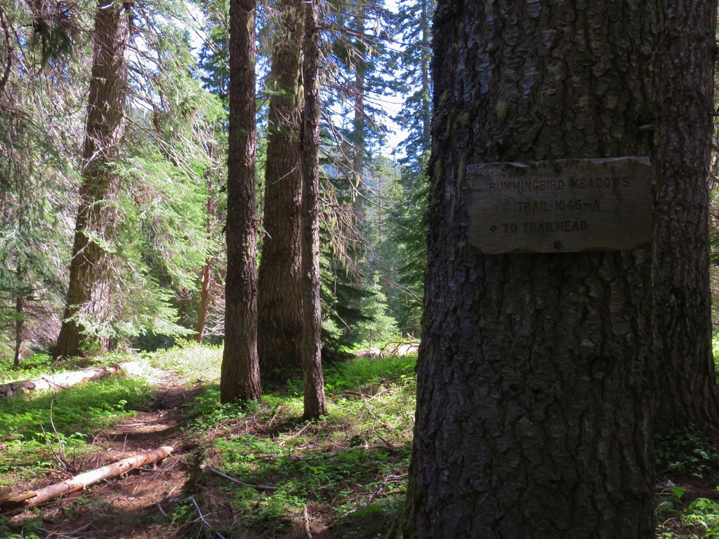
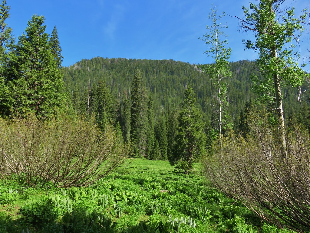
The trail continued to the large and scenic Hummingbird Meadows as it climbed gradually up Buck Canyon.

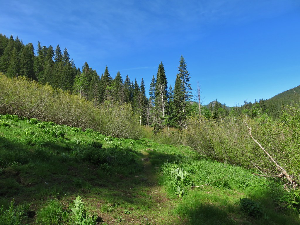
The meadows continued for a mile and a half from the Hummingbird Meadows Trail to a junction with the Wiley Camp Trail which the Forest Service Website currently lists as “area is unavailable”.

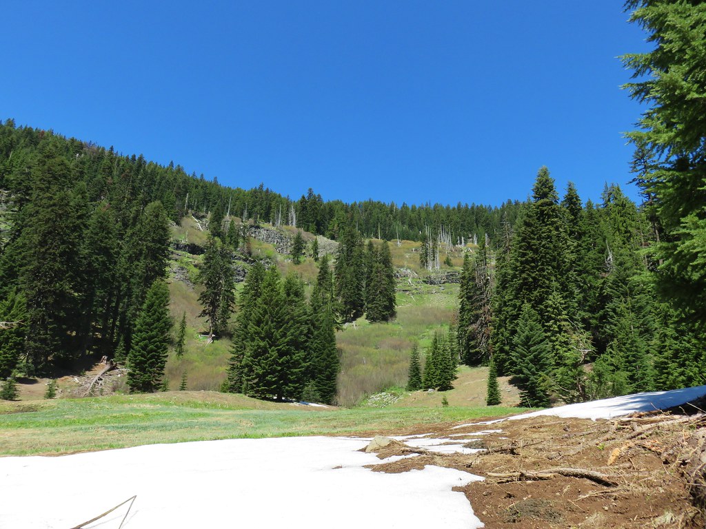
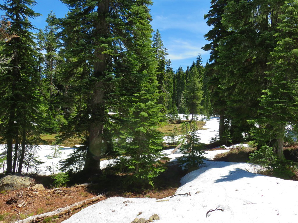
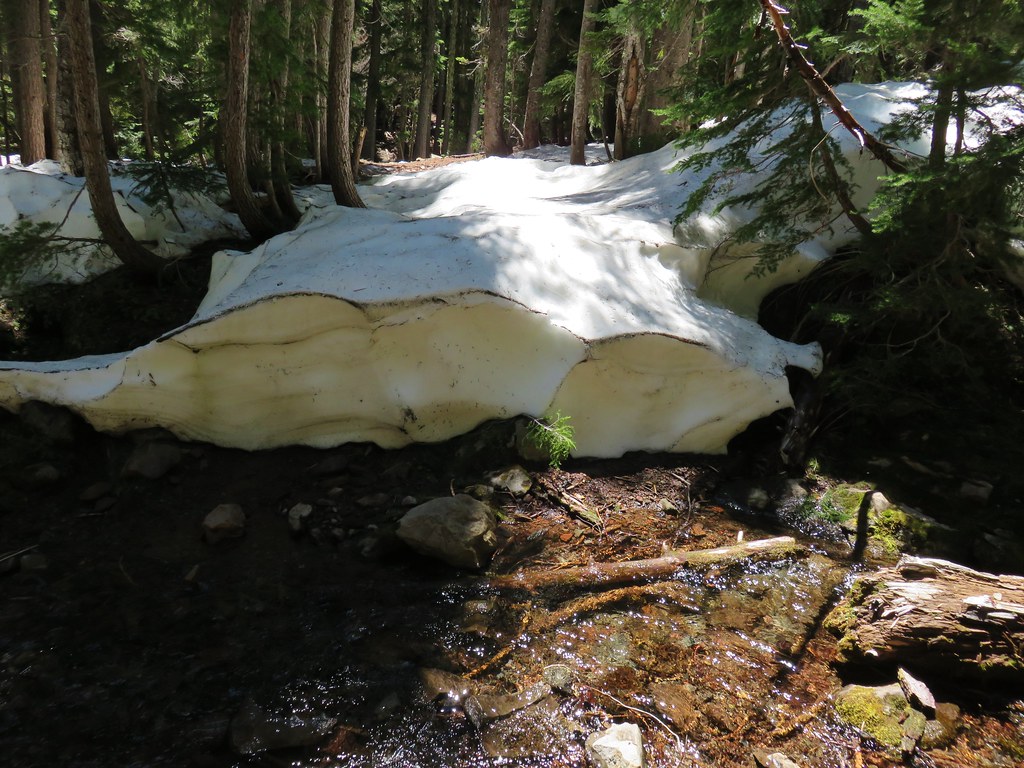
Near the upper end of the meadows we began seeing some decent amounts of snow.
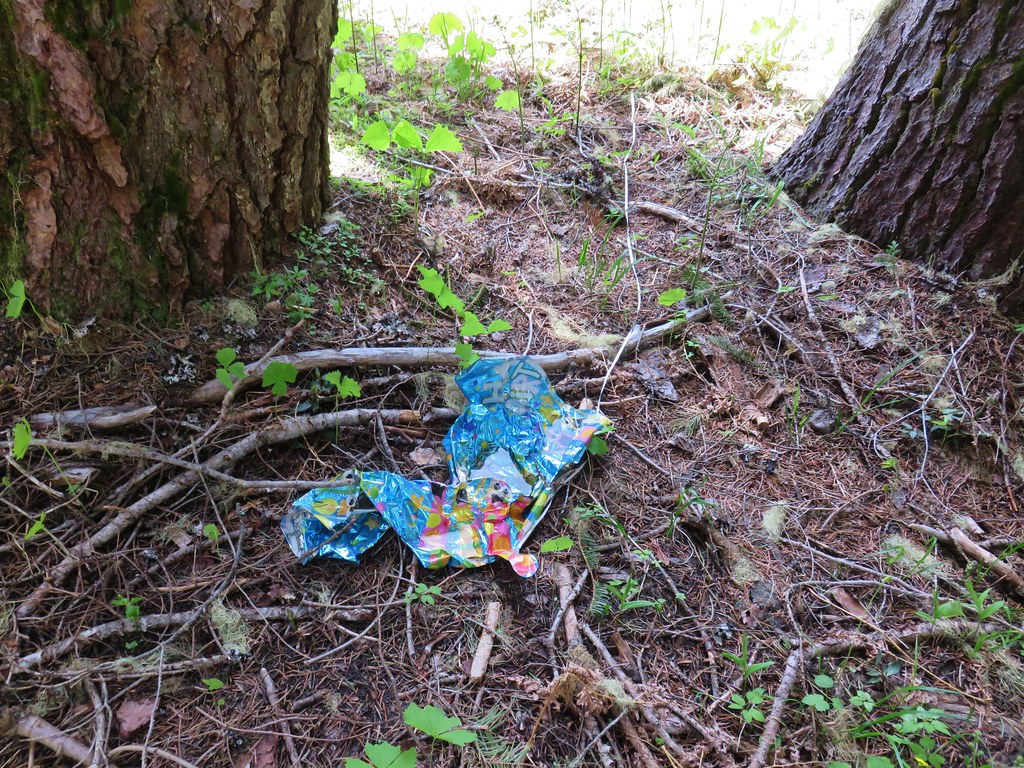
We also spotted a dreaded mylar balloon which we packed out.
At the junction there was no sign for the Wiley Camp Trail but there was one for the Buck Canyon Trail pointing toward the Meadow Creek Trail (which was still quite a ways away).
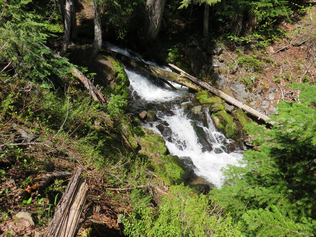
Shortly after passing the Wiley Camp Trail we came to Devils Slide, a half mile long rock-slide.
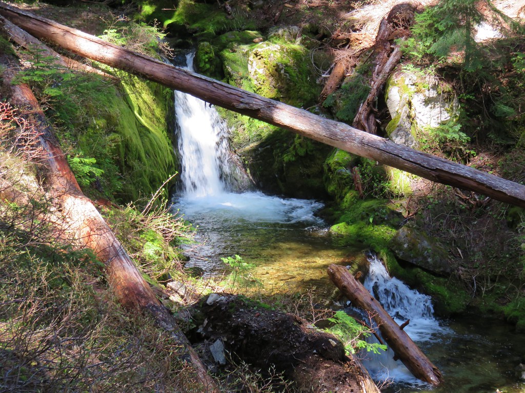
We stopped to visit a small waterfall next to the rocks.
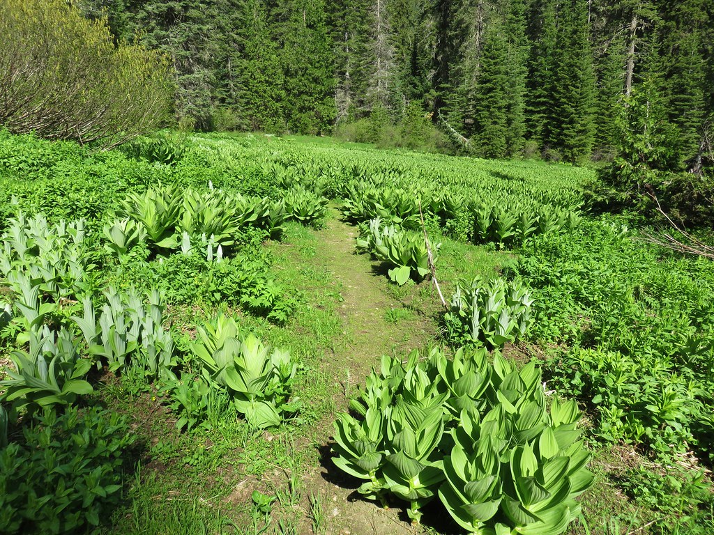
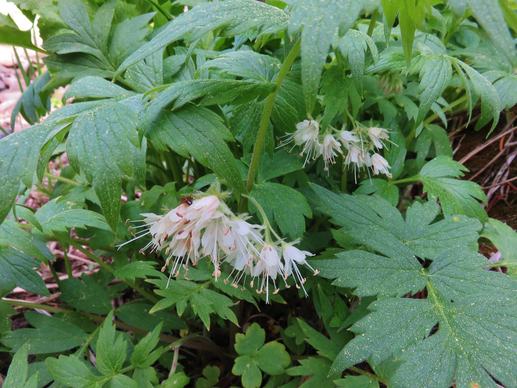
After passing Devils Slide the trail entered an upper meadow.

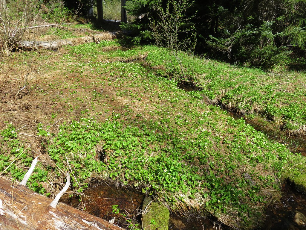
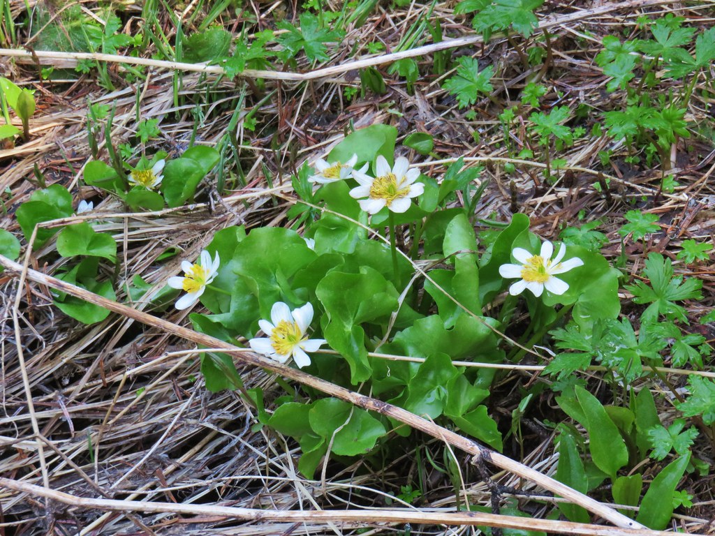
Here we found some large patches of marsh marigolds.
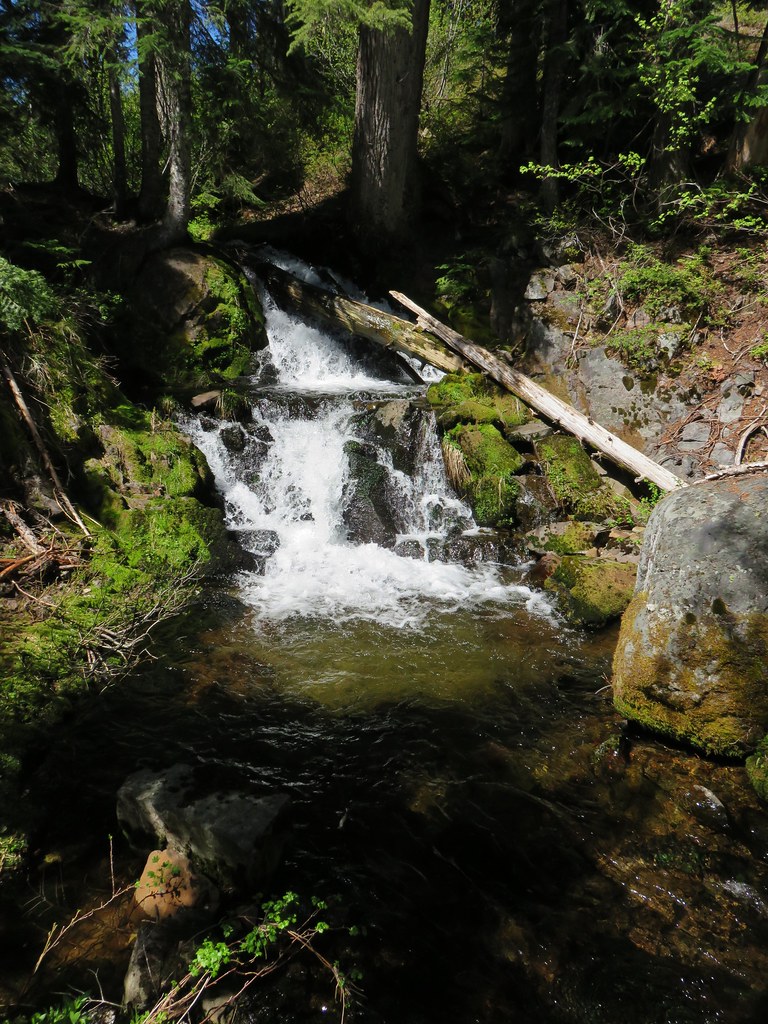
A brief stint in the trees led us to more blowdown and another small waterfall.
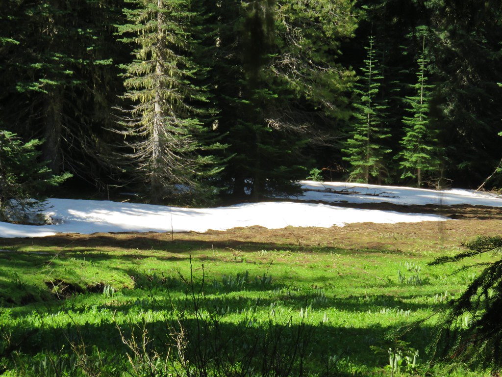
Then we were back in a meadow but this time there was quite a bit more snow.
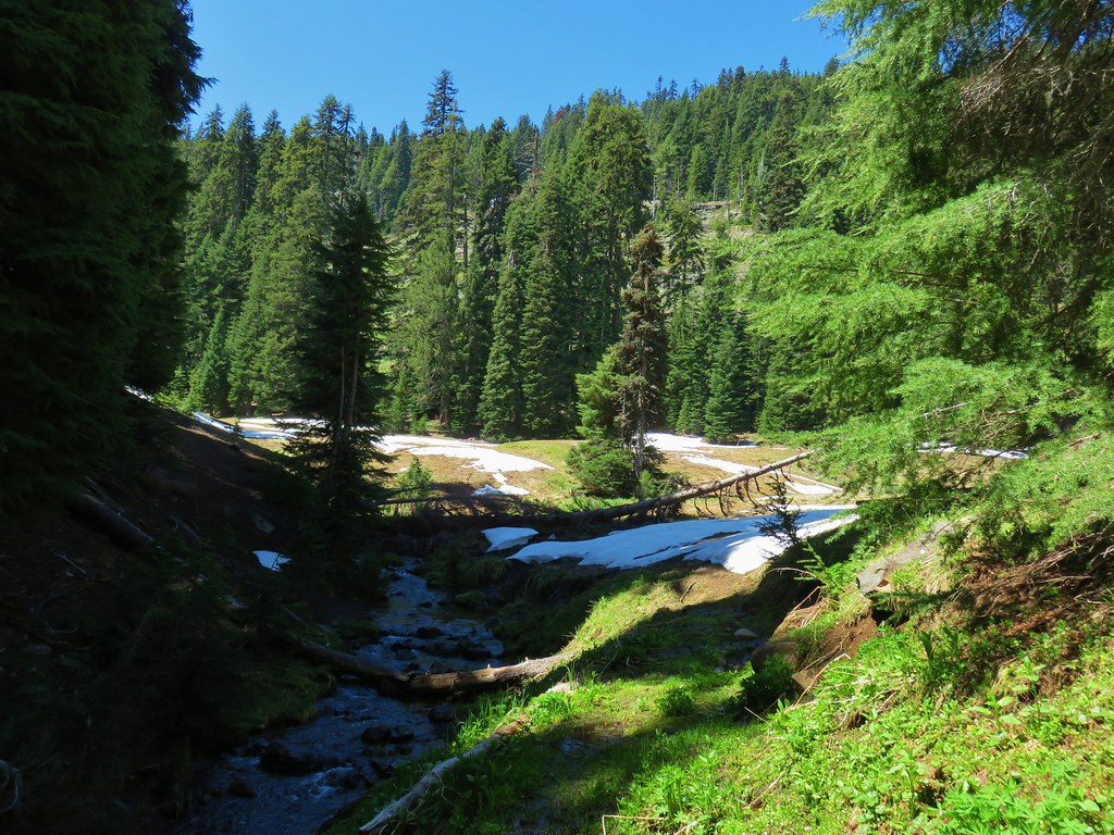
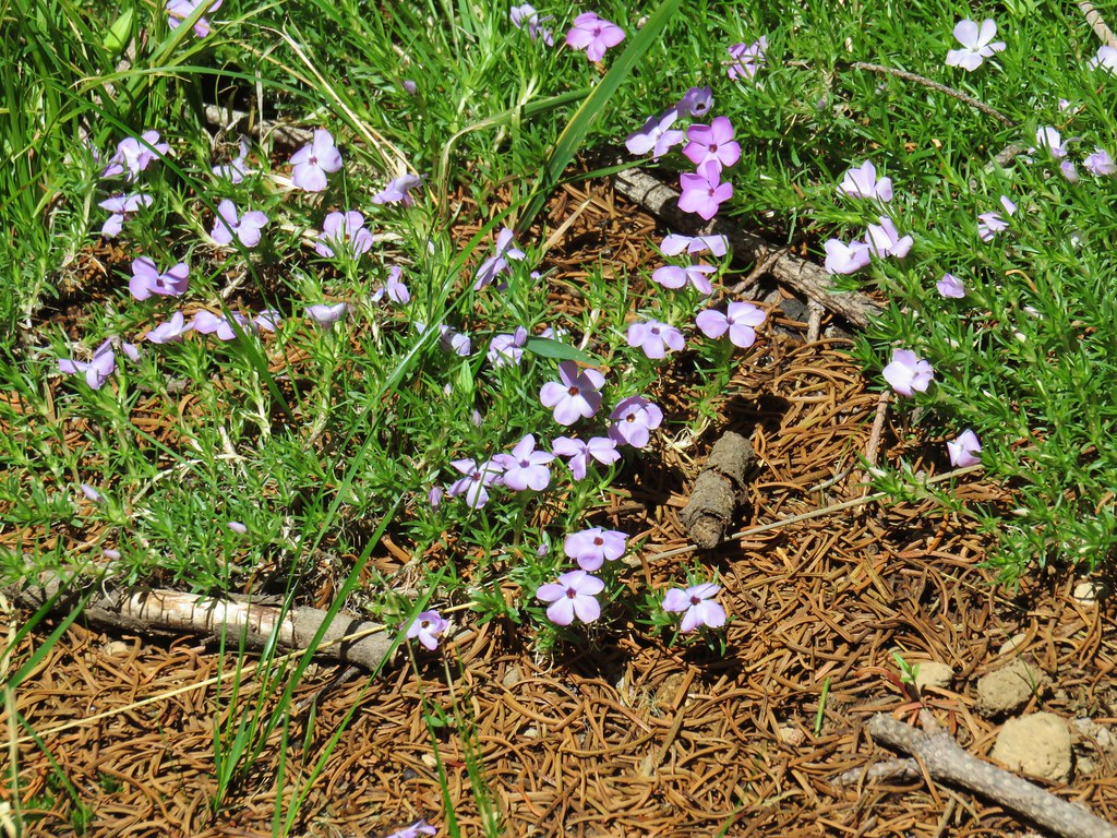
A few phlox and avalanche lilies bloomed here.
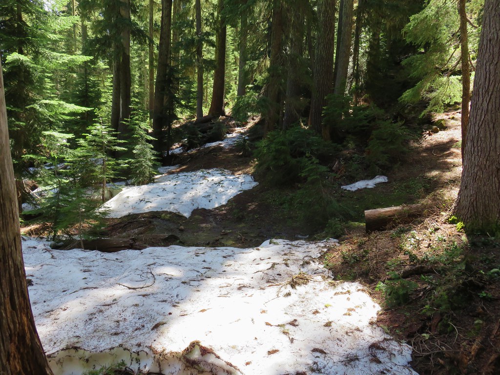
We lost the trail in the snow as we left the meadow and entered the trees.
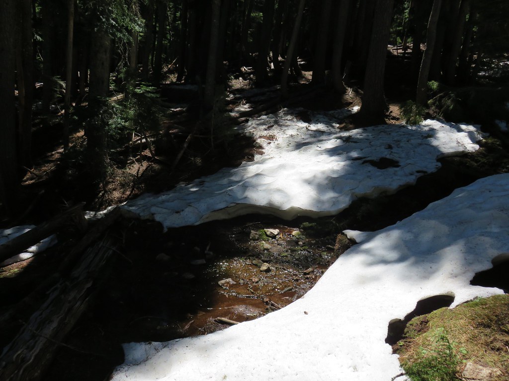
For the next couple of miles we played find the trail due to the lingering snow. There was enough left that it made things challenging but not impassable. We did a bit of postholing, especially Heather, as we zig zaged through the forest looking for signs of the trail. Sometimes old tree blazes led the way and other times it was downed logs that had been cut for the trail. Occasionally the trail itself would appear for a bit only to be swallowed again by a snow drift. Having the GPS also helped as we were able to tell where the trail was in relation to our position.
 blaze in the tree
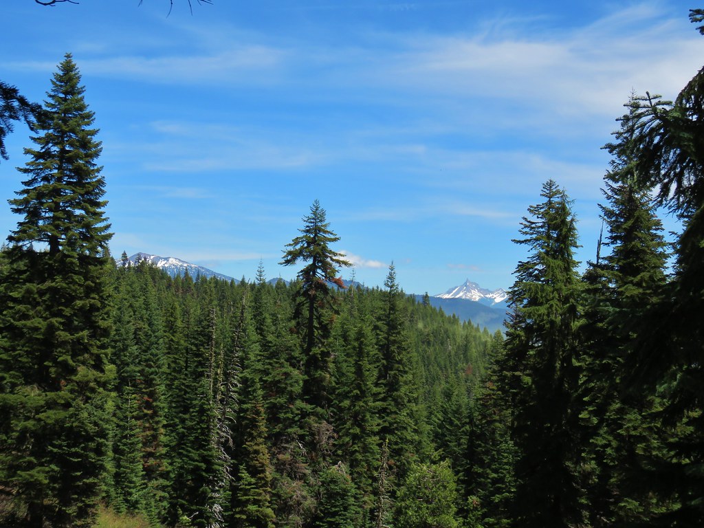
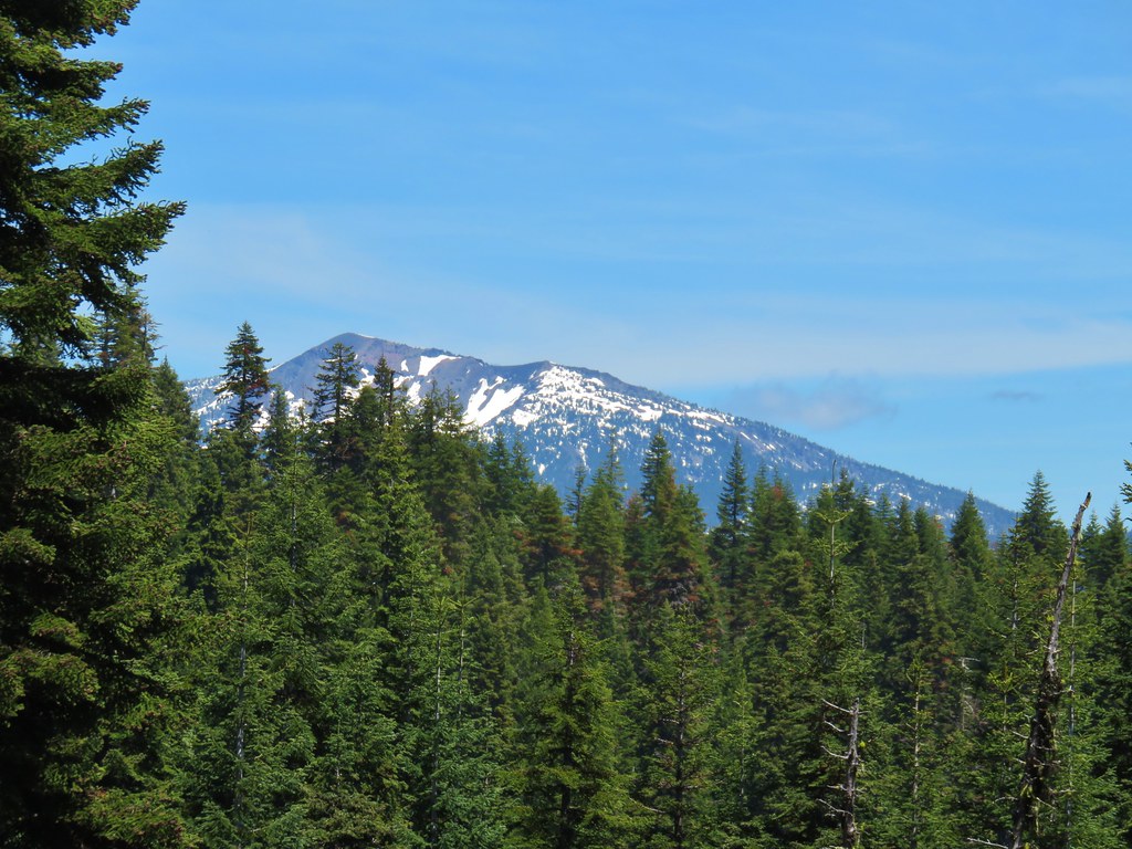
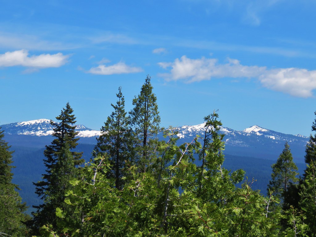
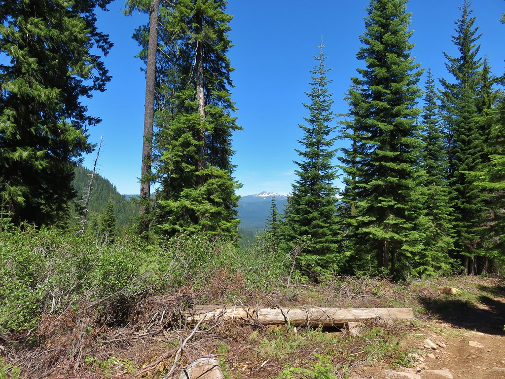
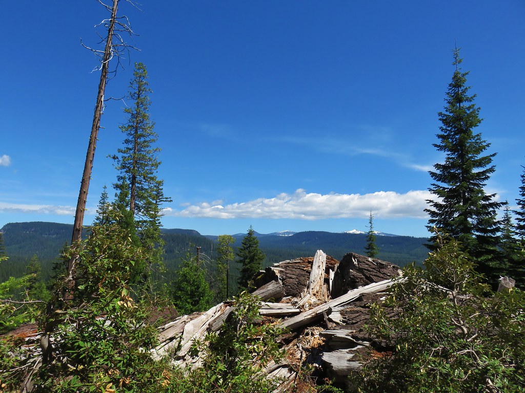
After passing over a saddle at 6000′ we descended to Alkali Meadows. From the meadows we spotted Union Peak and some of the rim of Crater Lake.
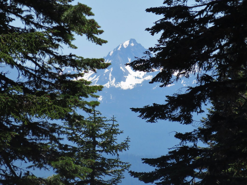 Union Peak
 Hillman Peak and The Watchman
After a brief stint in the upper portion of the meadows the trail turned back into the trees for a couple of creek crossings.

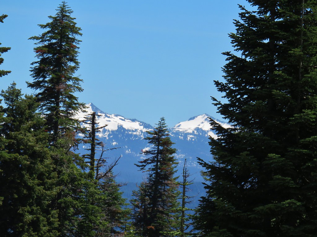
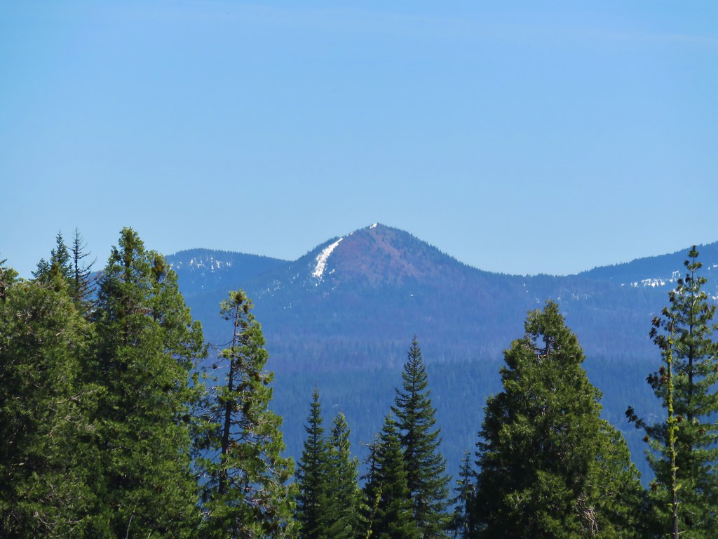
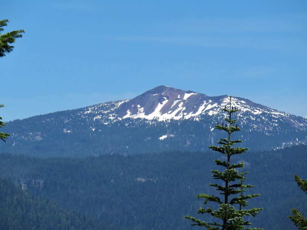
Soon we were back in Alkali Meadows and staring straight at Mt. Thielsen. (post)
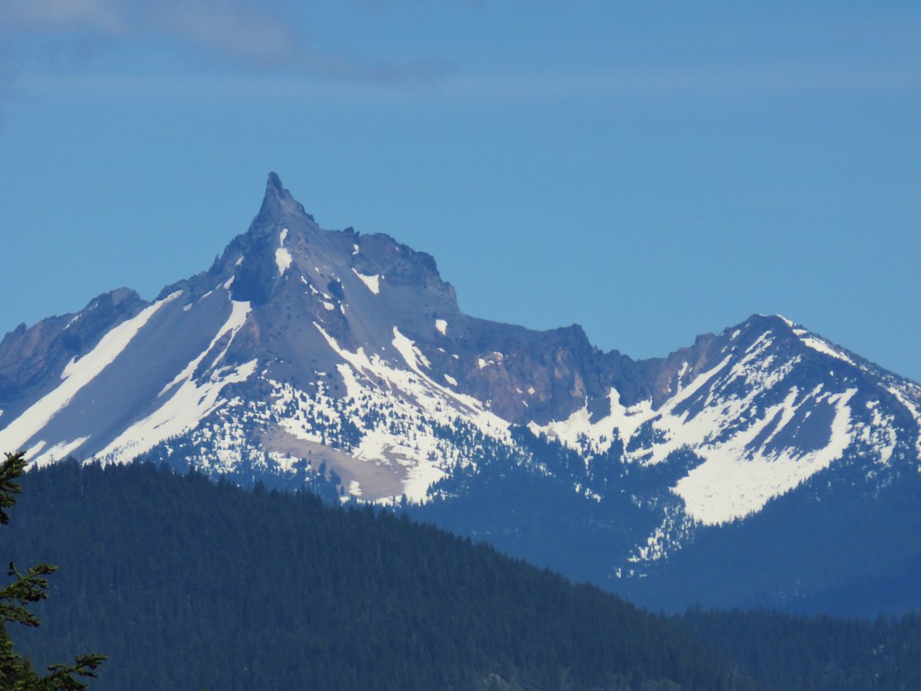
A little further down the meadow Mt. Bailey (post) joined the view.
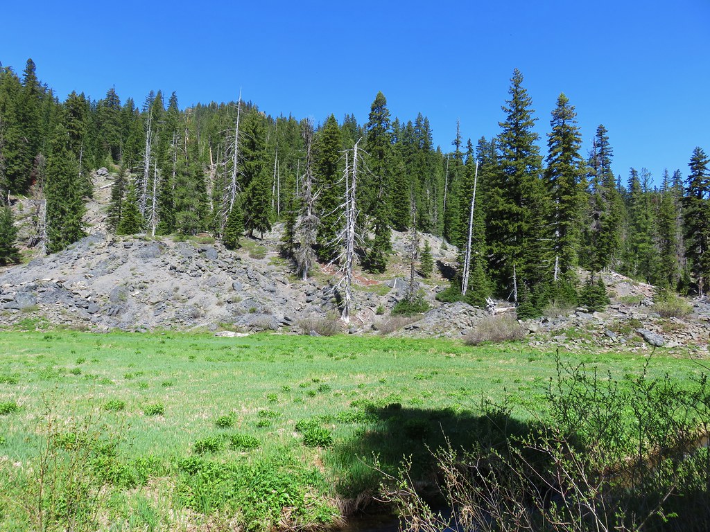
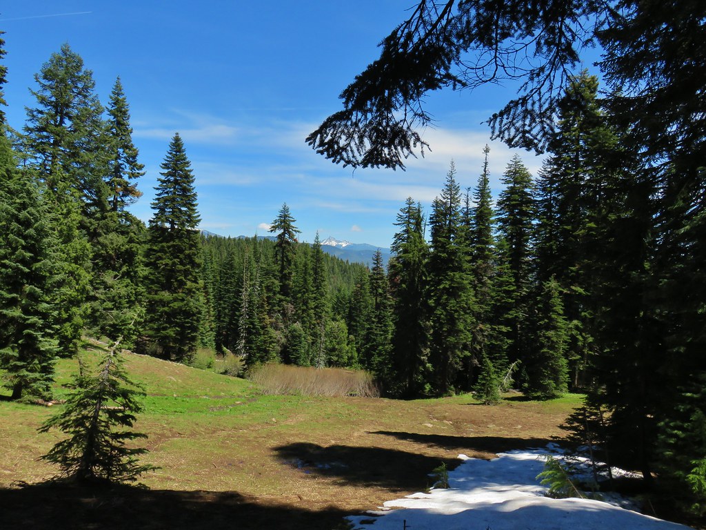
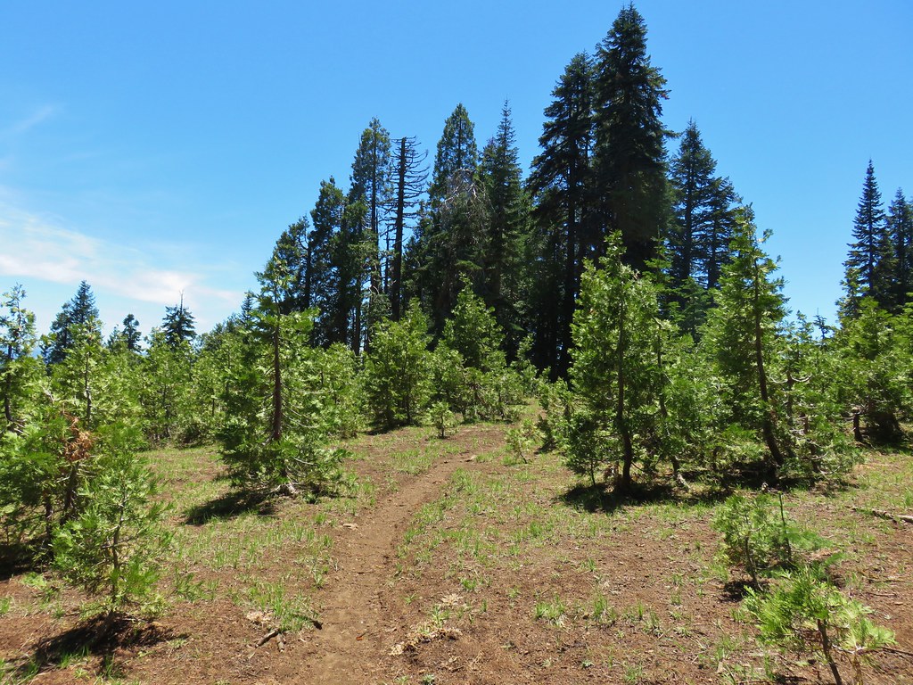
We left the snow behind after Alkali Meadows where the trail turned south traversing through a drier area for a mile to Bear Camp where we found the Meadow Creek Trail.
 The rim of Crater Lake
We turned left onto the Meadow Creek Trail and quickly began a steep mile long descent.
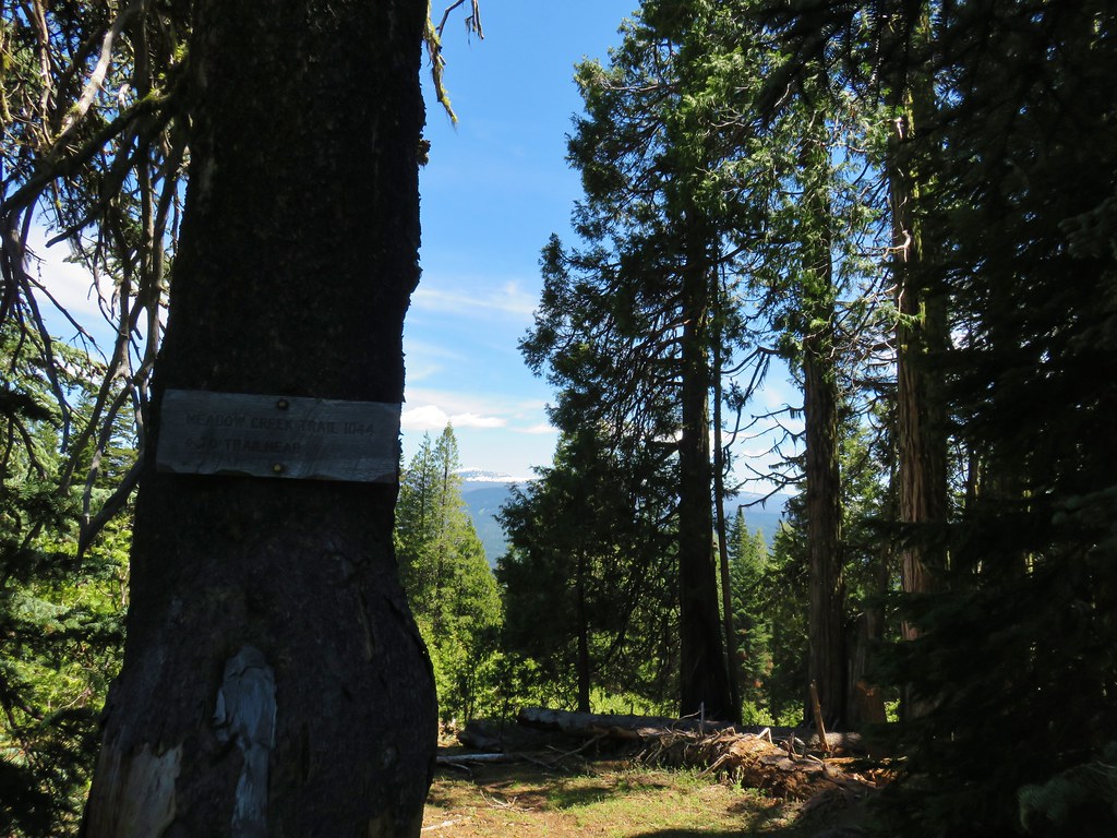
We passed through more meadows with more views.
Just before reaching road 6540-700 we left the wilderness behind.
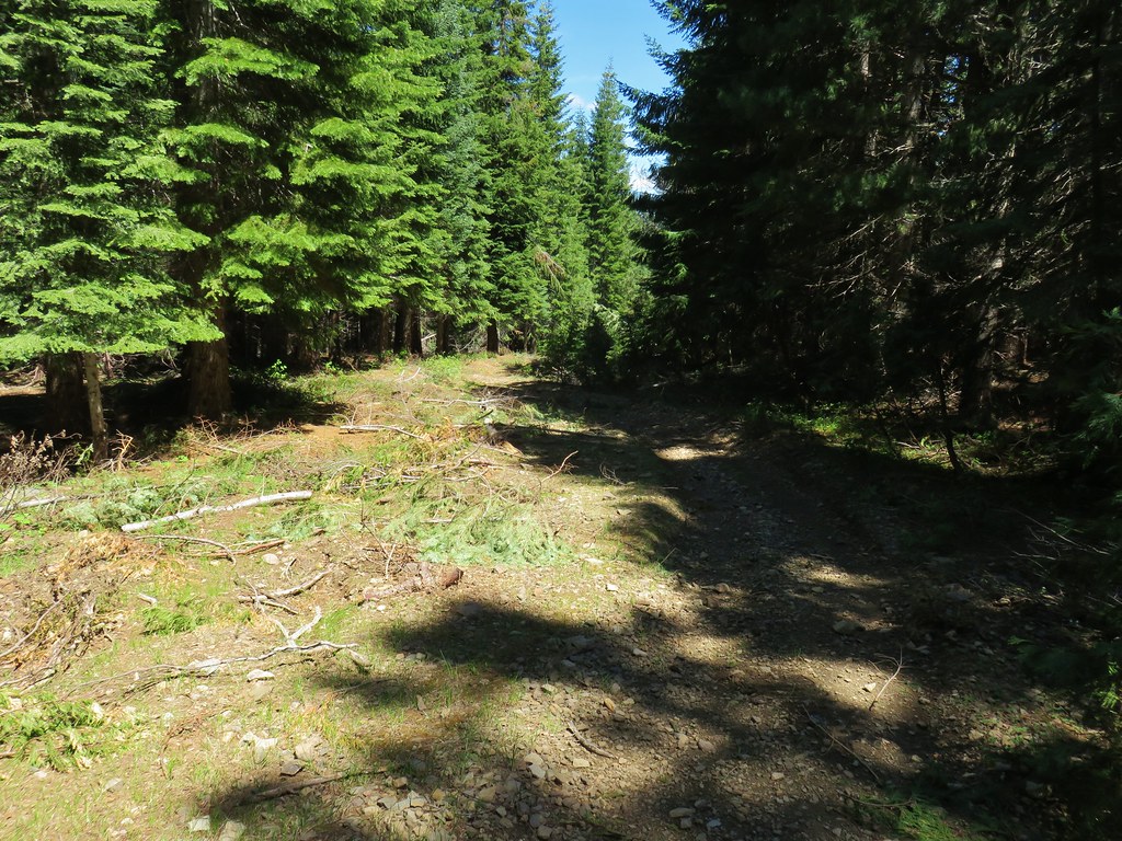
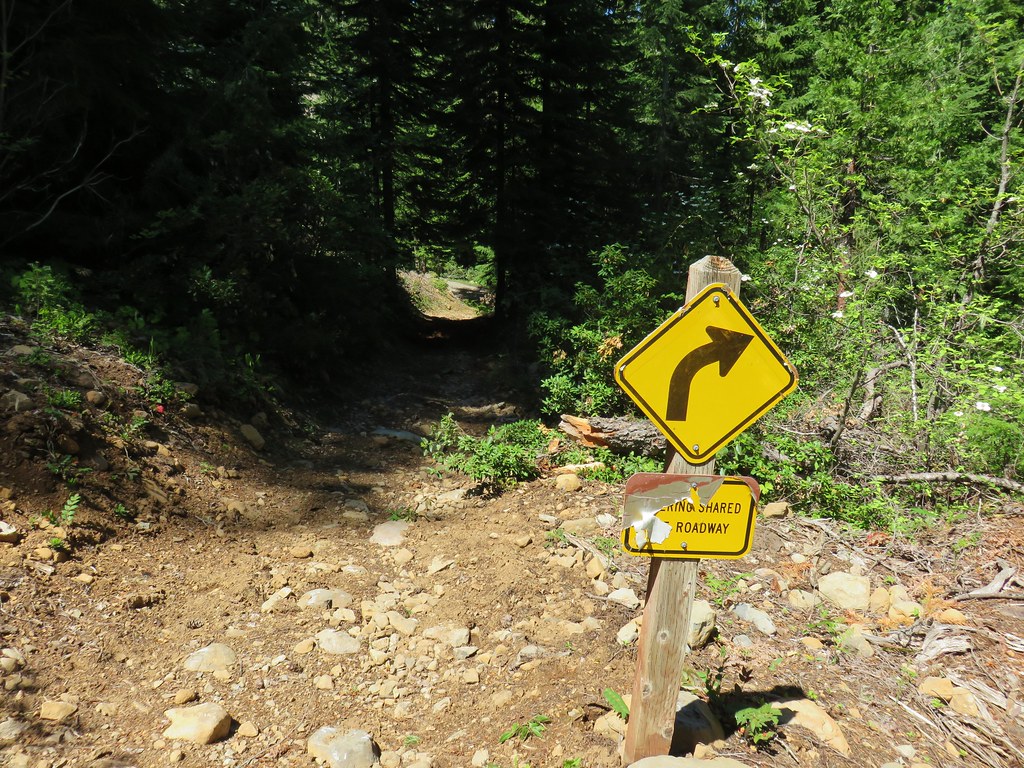
We turned left onto this road and followed it just over a quarter of a mile to where we turned right and followed signs for OHV Trail 27.


OHV Trail 27 left the wide road in favor of a rougher, narrow track.
There had obviously been some recent maintenance done to this trail, unlike our earlier trails.
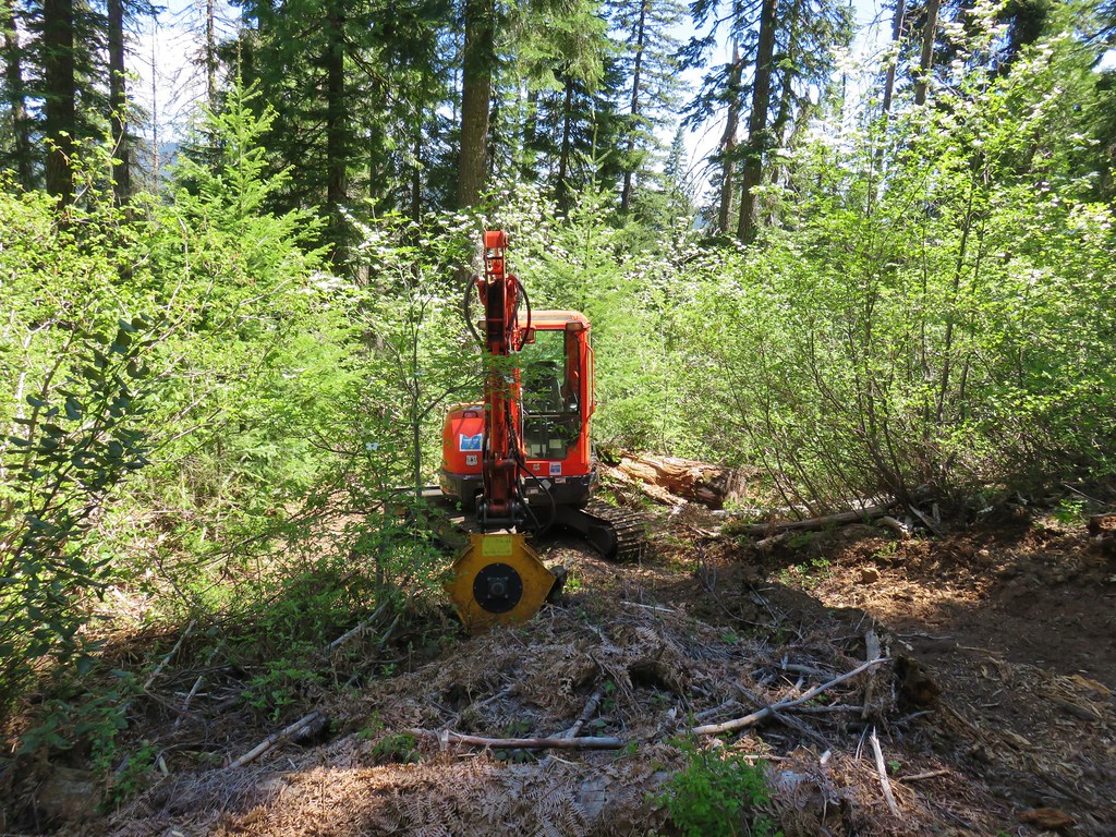
We passed a nice view of Mt. Bailey and then saw the source of some of the maintenance.
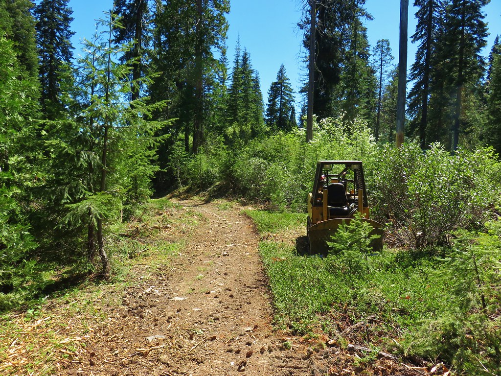
The little dozer was Forest Service but it alone couldn’t have created all the debris we’d been seeing along the trail. Broken trees and brush had lined the entire track. After passing another viewpoint, this time of Crater Lake’s rim and Union Peak we discovered what had been chewing up the vegetation.
After roughly 1.5 miles descending on the OHV Trail we arrived Road 6540-900.
As nice as it was to have an actual trail to follow from Road 6540-700 down to the next road crossing it would have been much nicer if it had been the Meadow Creek Trail which had originally continued all the way down to the Muir Creek Trail. All of that trail save the mile between Bear Camp and Road 6540-700 has been abandoned by the Forest Service and from the map OHV Trail 27 appears to have obliterated some of the original trail. Road 6540-900 is where Van Marmot had started his hike and his trip report noted that the lower portion of the Meadow Creek Trial between this road and the Muir Creek Trail was still usable.
We turned right on Road 6450-700 looking for signs of the trail. Luckily someone had placed some pink flagging at the old trail otherwise we would have probably walked right past it even though the GPS showed we were right near it.
 Faded pink flagging in the tree marking the abandoned Meadow Creek Trail
The trail was approximately 100 yards from where OHV Trial 27 popped out on the road and just a short distance before a cattle guard.
 Cattle guard on Road 6540-700
The old trail was faint but easy to follow, in fact it was easier to follow this trail than the Buck Canyon Trail had been in the snow.
There was pink flagging along most of the half mile route but we did finally lose track of the tread just above the Muir Creek Trail. There was enough blowdown along the hillside that we had to make the final descent up on our own. This explained why we had been unable to spot any sign of the trail on our way by in the morning. We wound up just about a mile away from the trailhead so we headed back along the Muir Creek Trail maneuvering around the downed trees along the way. The 15.5 mile loop wound up being 16.2 according to our GPS, much of difference can be attributed to the back and forth hiking we did searching for the Buck Canyon Trail in the snow.
It was a beautiful hike even with the OHV Trail thrown in and we were amazed that on a holiday weekend we had only seen the one other couple all day. It was everything we’d hoped for in our first visit to the Rogue-Umpqua Divide Wilderness. Happy Trails!
Flickr: Muir Creek Loop

8 replies on “Muir Creek Loop – Rogue-Umpqua Divide Wilderness”
That must have been a great hike. The scenery is outstanding, especially the stream!
Yes this one was an instant favorite.
I’m glad that your hike of this loop went pretty much like ours did and that it’s still doable since one never knows how the trails might change from year to year. This loop can be done this early without too much snow only in no (2015) or low (2018) snow years. The wilderness is on the west side of the divide and this ranger district has gone all out to make the east (non-wilderness) side an OHV playground, with the loss of some hiking trails as a result. I think the Forest Service even lets OHV groups do their own trail building & maintenance, which may account for the debris and equipment you saw.
That wouldn’t surprise me, it seemed very haphazard.
[…] now have just seven wilderness areas left to visit after spending time in the Rogue-Umpqua Divide (post), Steens Mountain (post), Strawberry Mountain (post), and Copper-Salmon (post) wildernesses this […]
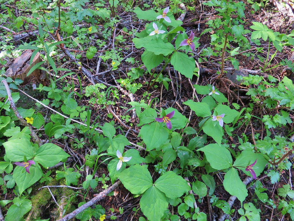
The Rogue-Umpqua Divide is one of my favorite destinations. There are many good hikes and loads of wildflowers. The white Erythronium in your photo above is not avalanche lily (E. montanum), which doesn’t grow this far south, it is Klamath fawn lily (E. klamathense). Note the yellow in the center and the down-turned rather than out-turned flowers. If you’re interested, I have a plant list I made for Buck Canyon as well as many more for the Western Cascades at https://westerncascades.com/plant-lists/. Thanks for all your great photos!
[…] had been to Hummingbrid Meadows before (post) but on that hike we had come in on the Buck Canyon Trail. On that trip we had also not visited […]
[…] #34 Abbott Butte-Hiked 10/17/2020 #35 Hershberger Mountain-Hiked 10/16/2020 #36 Muir Creek-Hiked 5/27/2018 #37 Rattlesnake Mountain-Hiked 9/6/2020 #38 Seven Lakes West-Hiked 9/9/2023 #39 Seven Lakes […]