We had planned our final multi-day trip for the year over Columbus Day weekend. We were hoping to have it be the backpacking trip around and up Diamond Peak that we’d planned on doing in September but changed due to the weather. Much like that long weekend the forecast was for rain or snow showers off and on over the four days. Diamond Peak will have to wait until next year at the earliest, but in the meantime we needed to find a less damp alternative.
After looking over our list of future four day trips and checking the forecast for each area we landed on the Klamath Falls area. There were still chances of rain in the forecast but it didn’t look like it would be much more than some light scattered showers.
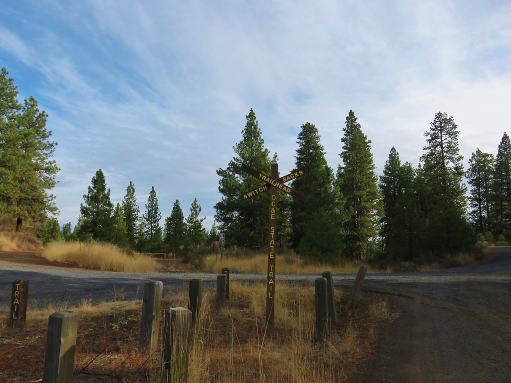
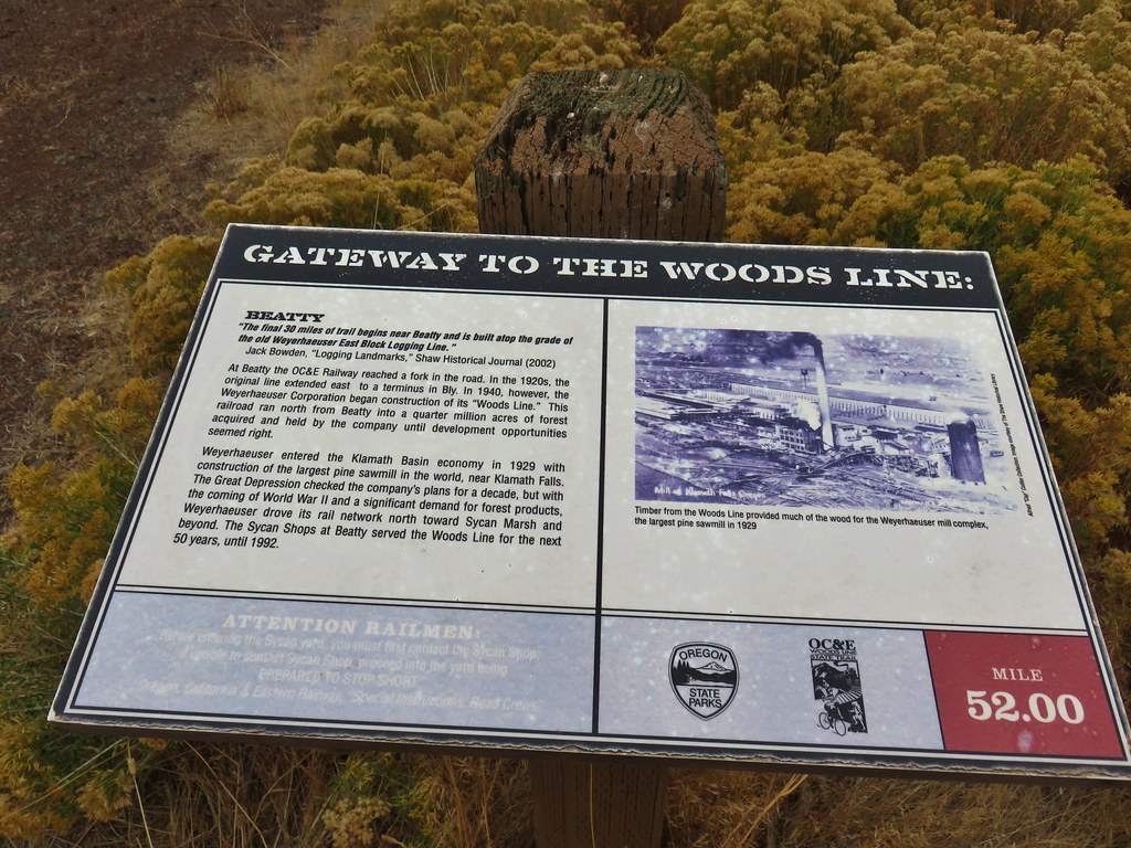
We started our trip off with a pair of hikes along the OC&E Woods Line State Trail.
Our first stop was at the Switchback Trailhead located along Bliss Road 4 miles south of the community of Sprague River (the way we came) or 12 miles north of Highway 140 coming from Klamath Falls (drive Hwy 140 17 miles east from K-Falls to reach Bliss Rd.).
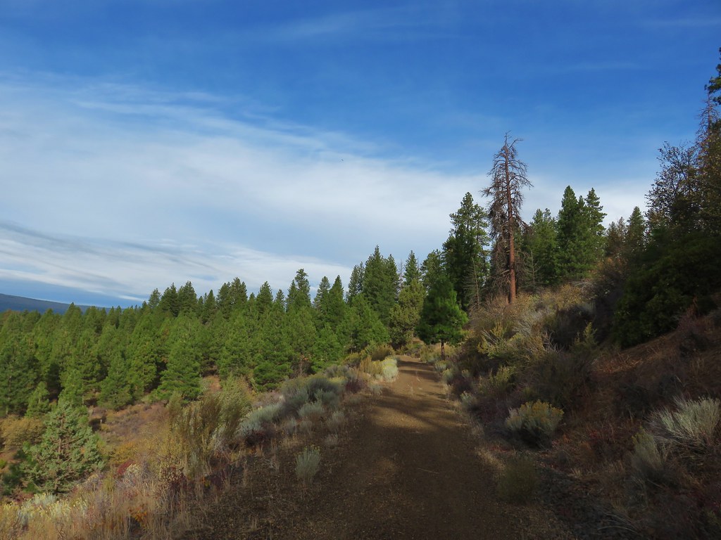
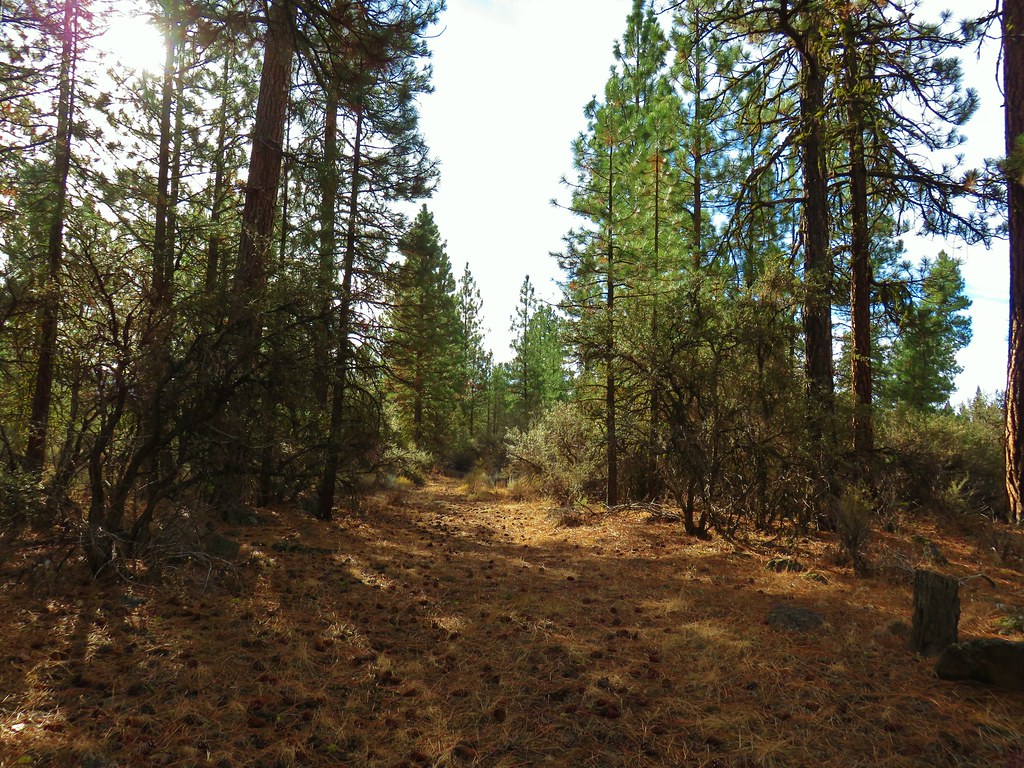
The weather was good as we set off on the trail with some blue sky still to be seen.
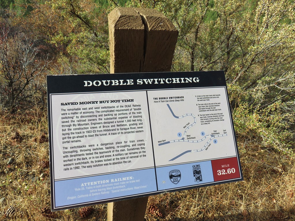
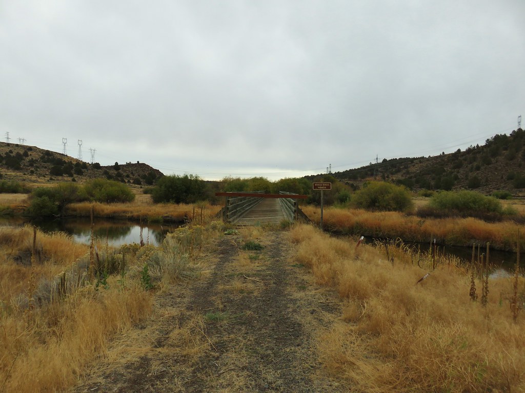
At this section of railroad the trains used to have to back up along the tracks in order to climb the mountain.
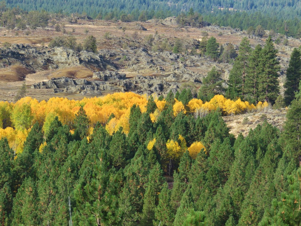
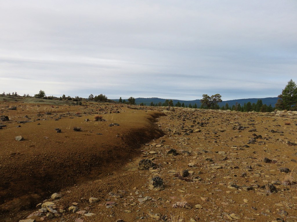
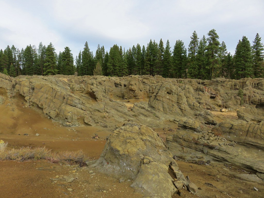
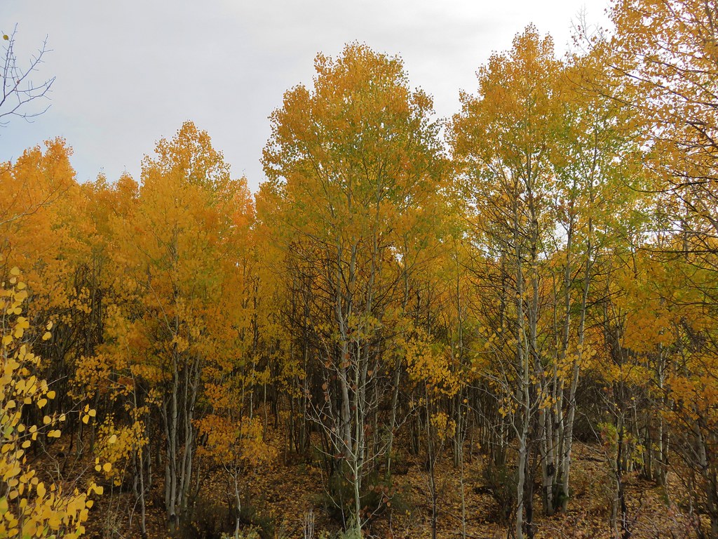
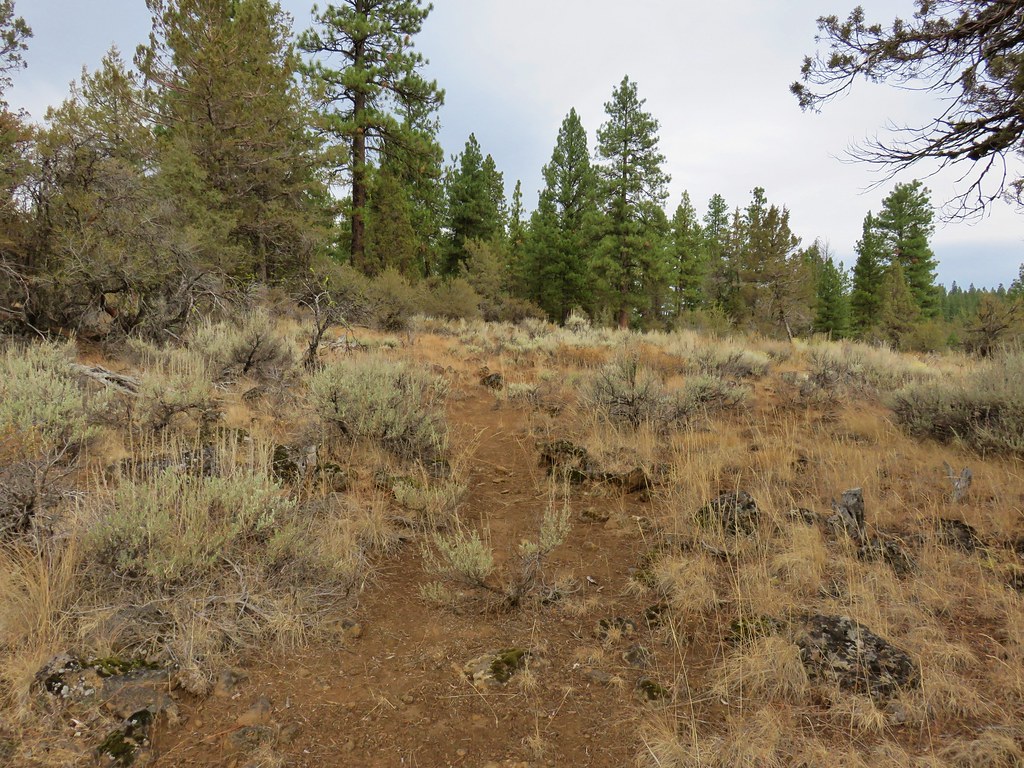
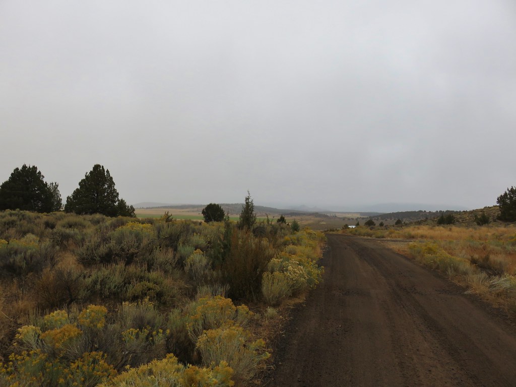
From the trailhead there was a good view down to the location of the old track below, but the scenery was dominated by a grove of aspen that were in full Fall color.

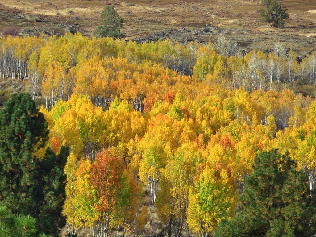
On the far side of the aspen was our goal for the day, Devil’s Garden, a volcanic landscape a bit off of the official trail.
We followed the trail downhill to where it leveled out beside a bit of a meadow.
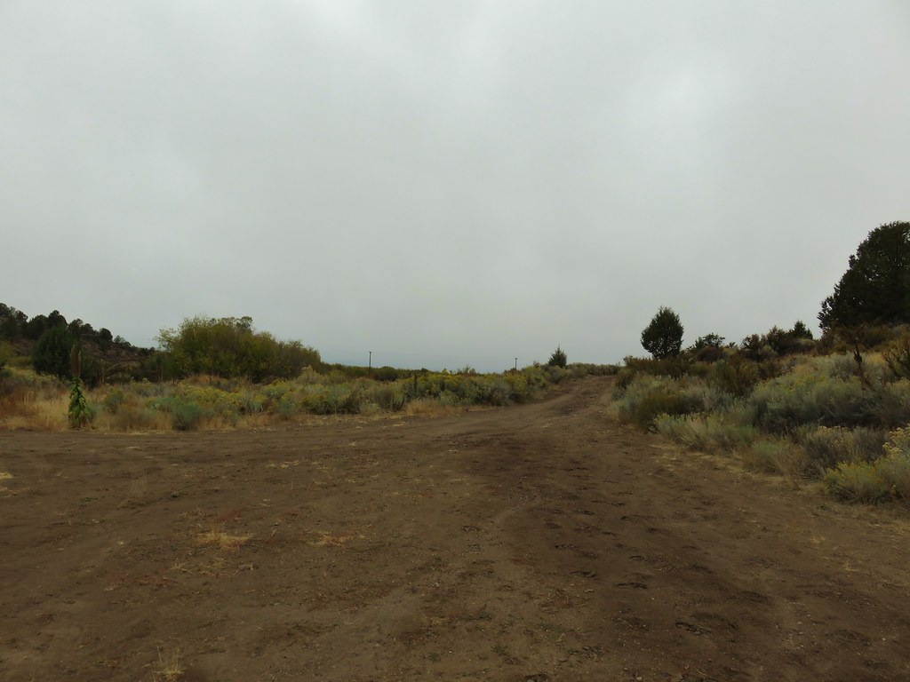
About three quarters of a mile from the trailhead we turned right off of the trail onto a dirt track.
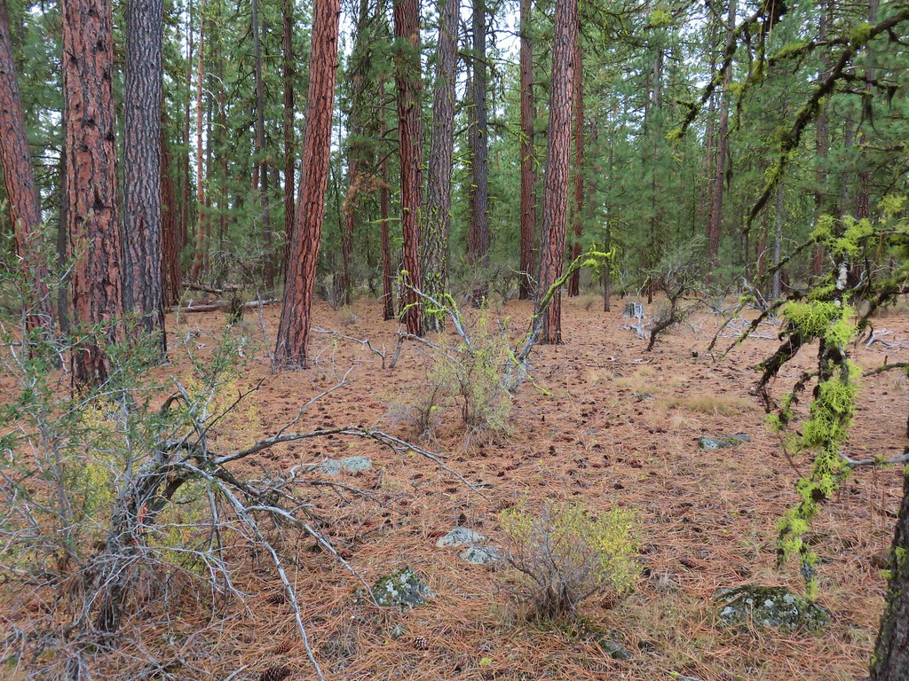
Using the GPS in conjunction with the map in our guidebook we made our way slightly SW onto a second, fainter track through an open ponderosa pine forest.
As the dirt track curved to the west we left it and continued south crossing a small gully.
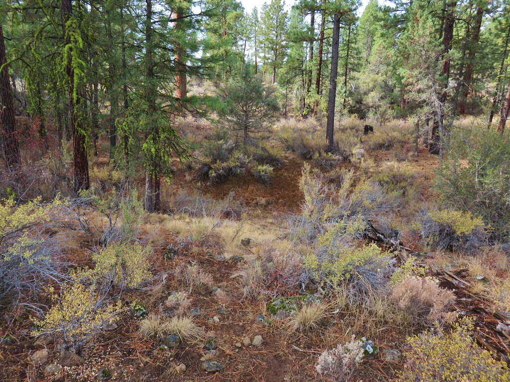
On the other side of the gully we passed through a stand of pines and turned to the SE.

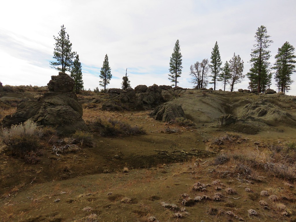
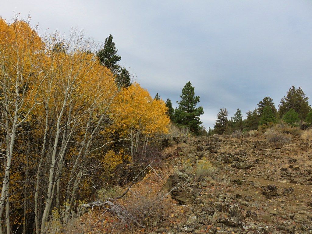
Soon we were entering the volcanic landscape of the Devil’s Garden.

<

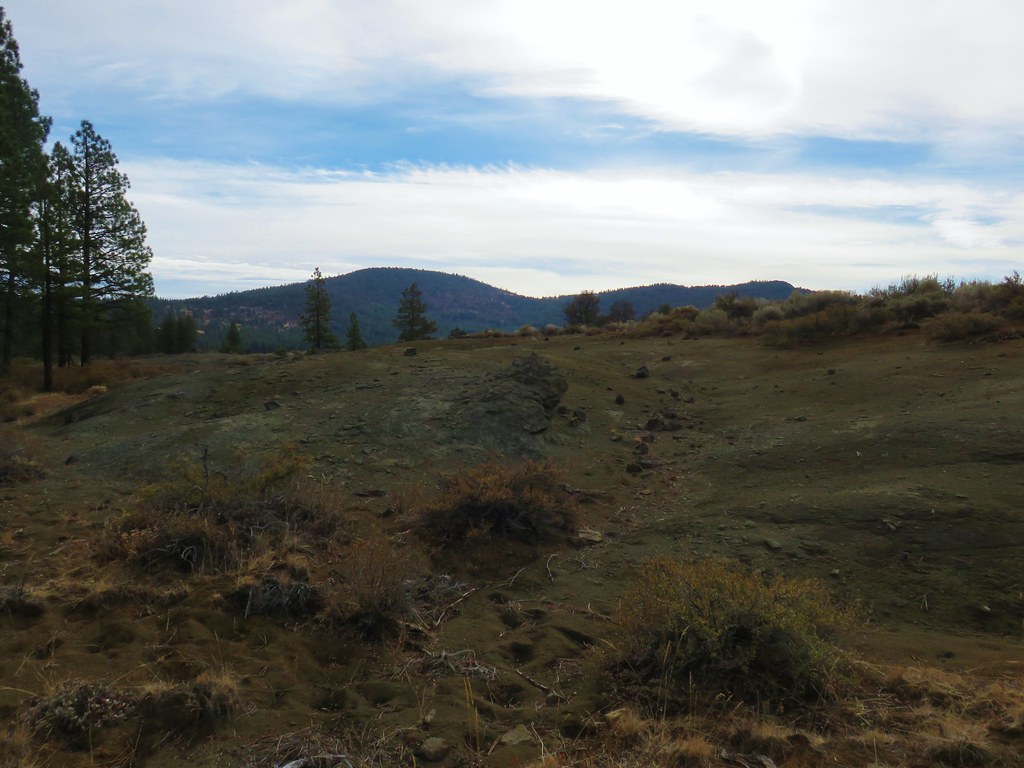
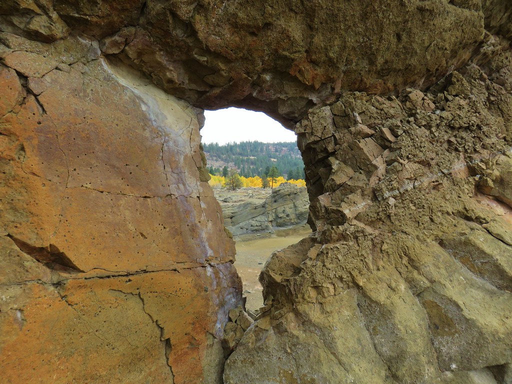
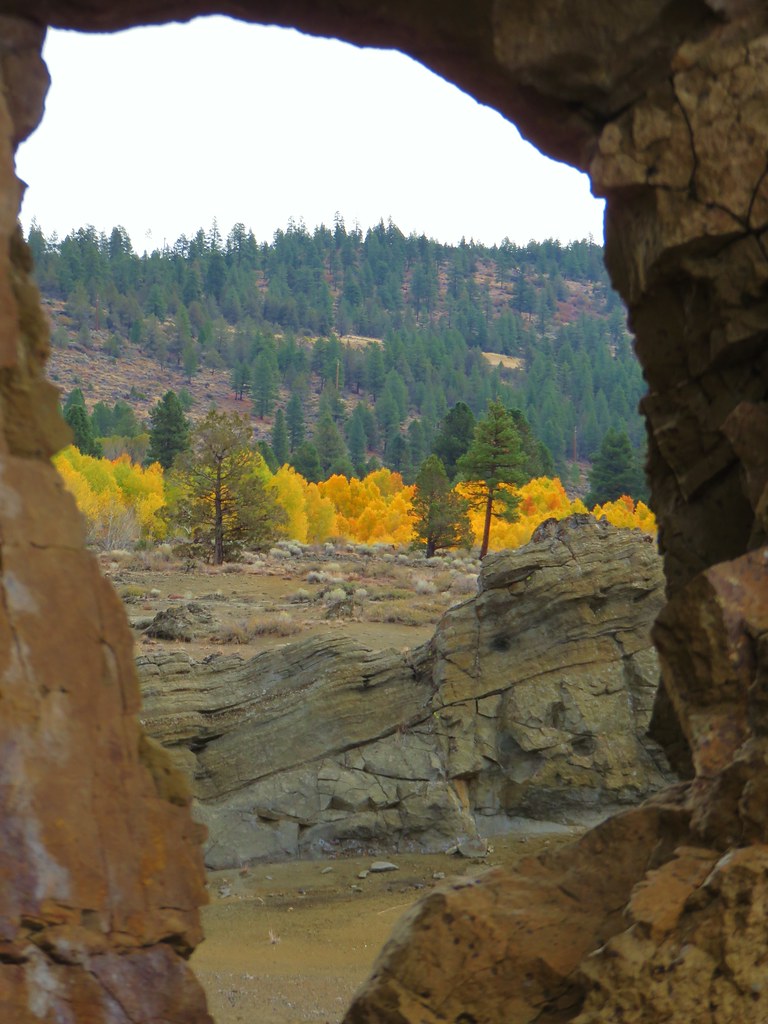
We were now heading east with the pine trees on our left and the golden leaves of the aspen grove beyond the rock formations ahead.
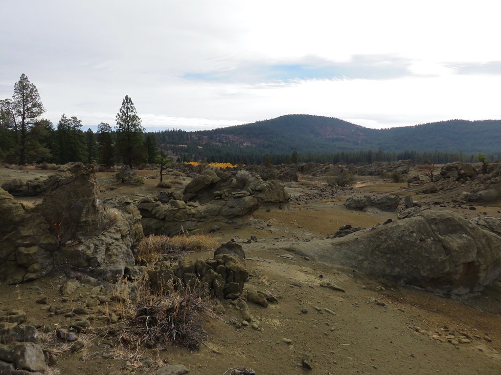
It was an interesting cross country walk through the different formations.
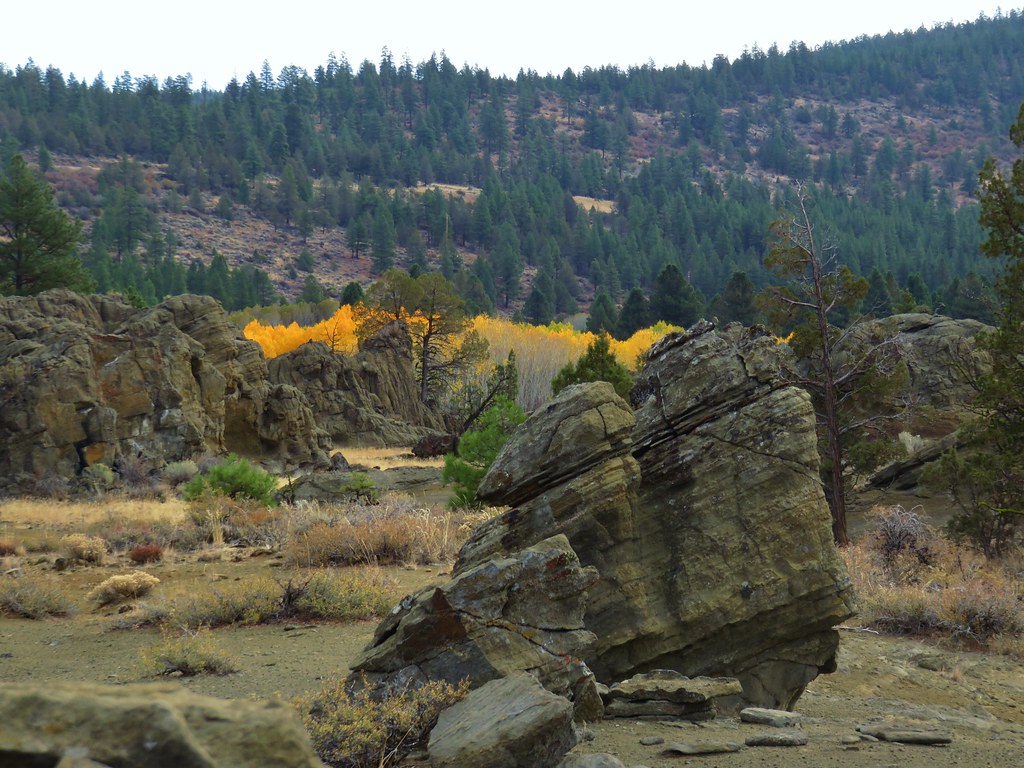
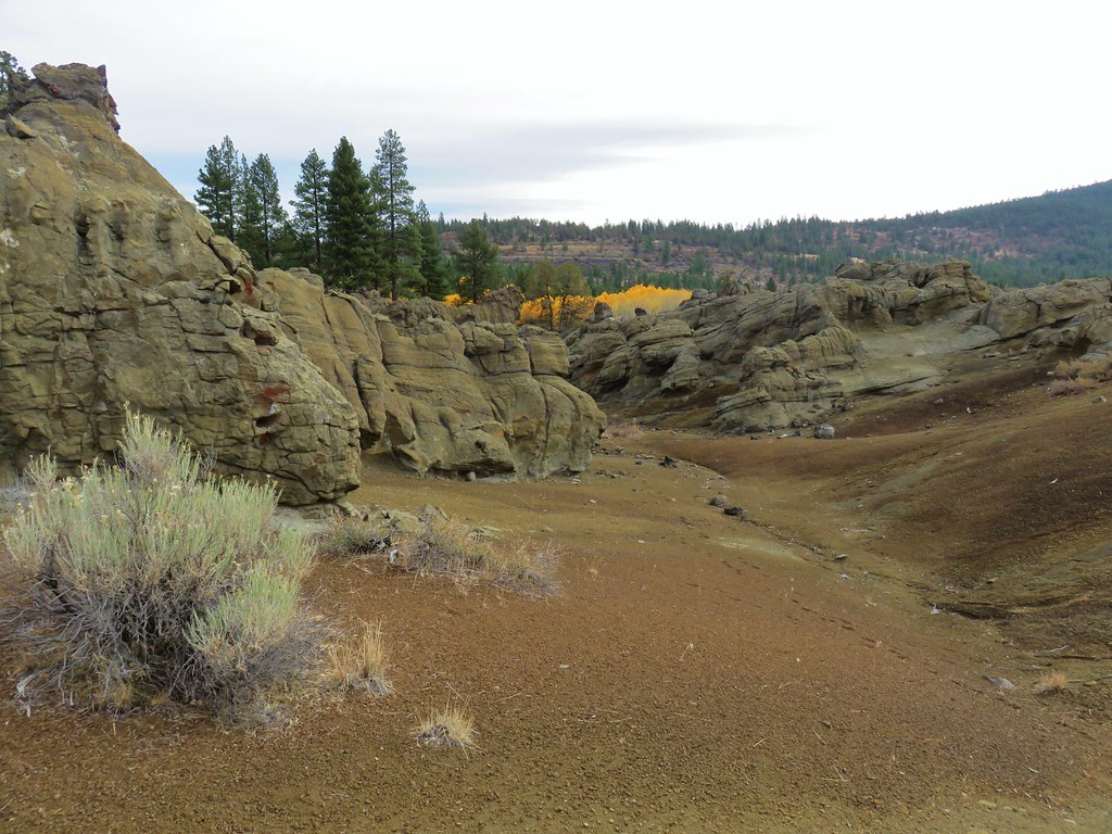
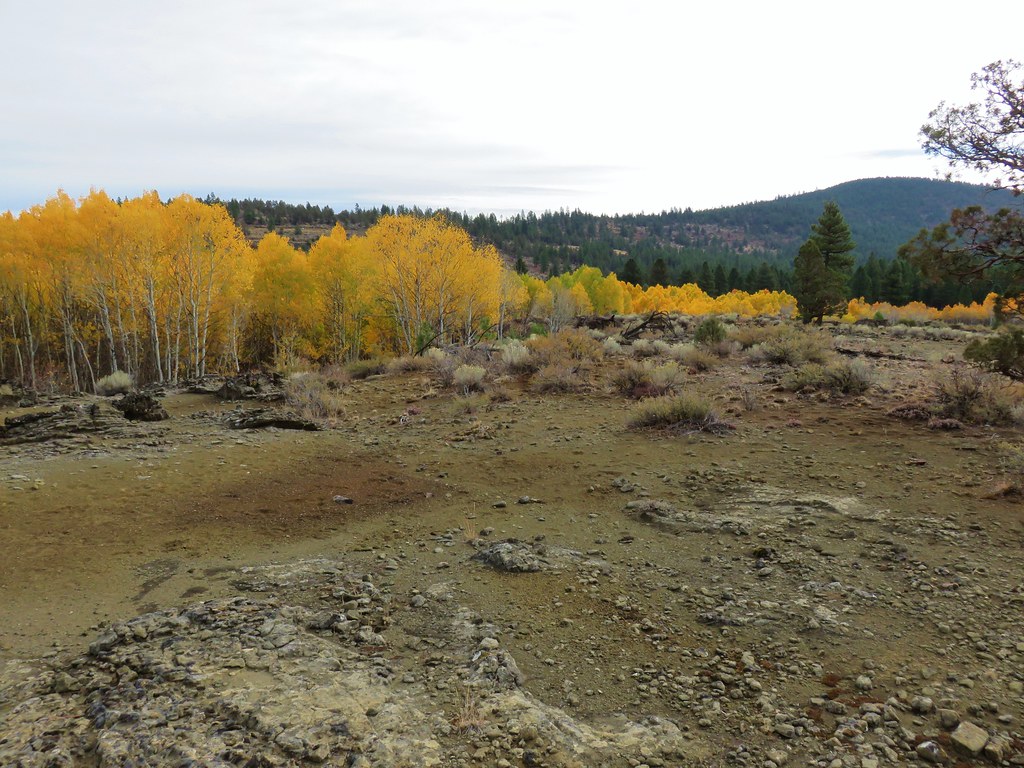
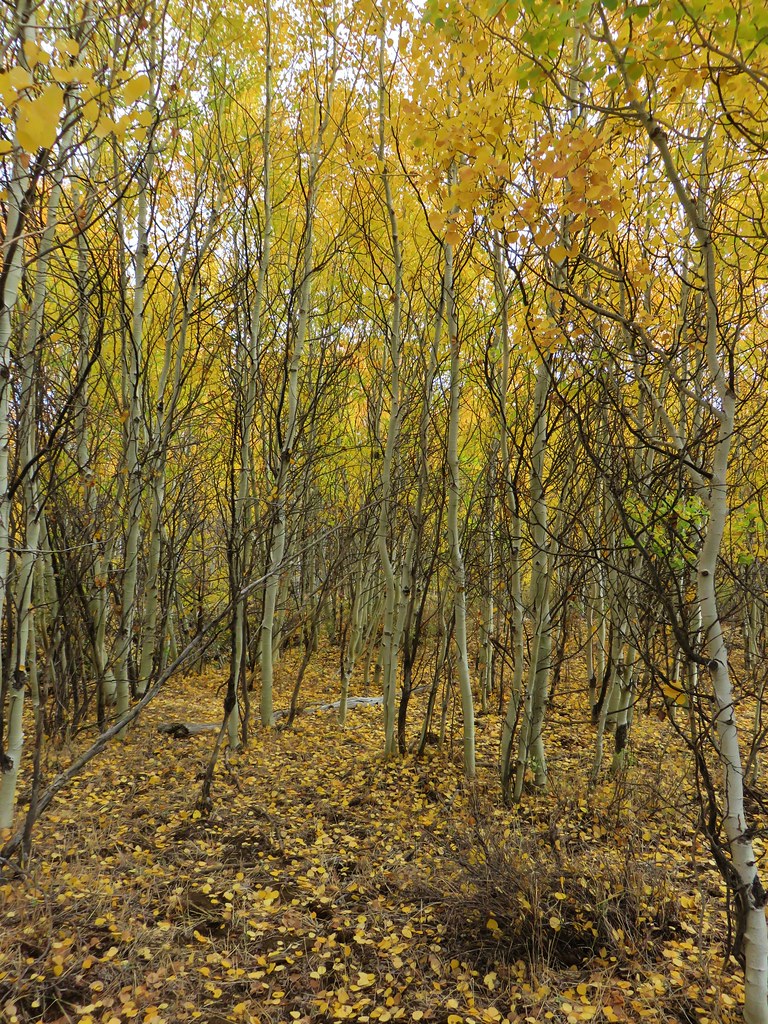
As interesting as the rocks were we were drawn to the aspen grove.

We made our way to those trees and decided to pass through the stand and attempt to loop back to the OC&E Trail.
We had to recross the gully which had deepened immensely but remained crossable.
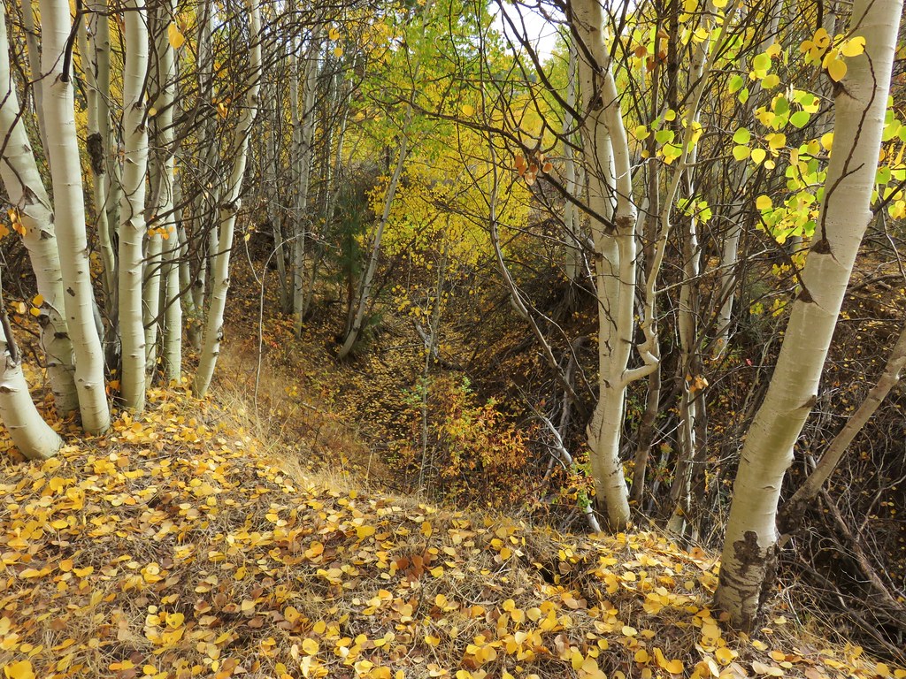
After navigating a second, shallower gully, we emerged from the aspen and turned left using the GPS to navigate back through the sagebrush and pondorosa to the trail.
We turned right onto the trail thinking that it was a loop, we both had pictured it that way in our minds and there had been a dirt road coming uphill from the south near the trailhead which we took for the return route.
After being back on the trail for almost three quarters of a mile though we noticed that we had passed below the trailhead and were now heading away from it. We took a quick look at the map on the GPS and noticed that it did not show any road or trail connecting up to make a loop. We then checked the map in the guidebook and sure enough it also did not show the hike as a loop, but rather an out-and-back. We were a bit confused because we were both certain it was a loop and I could even picture it on a map. In any case we backtracked to a point below the trailhead and headed cross country uphill.
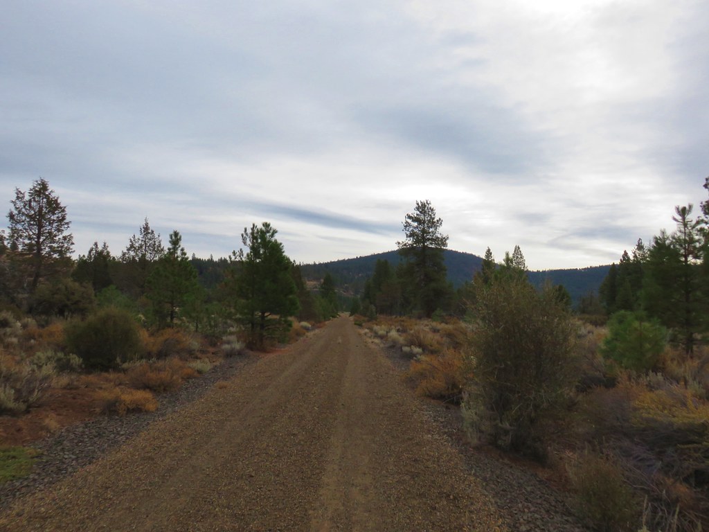
A .2 mile climb brought us to the road we’d seen when we set off earlier. It was later when looking at the area on Google Maps that we realized where the loop idea had come from. The dirt road and the OC&E Trail do meet but that junction was another 300+ yards away and not shown no the GPS map. With our exploring and the extra out and back at the end our distance for this hike was 3.6 miles.
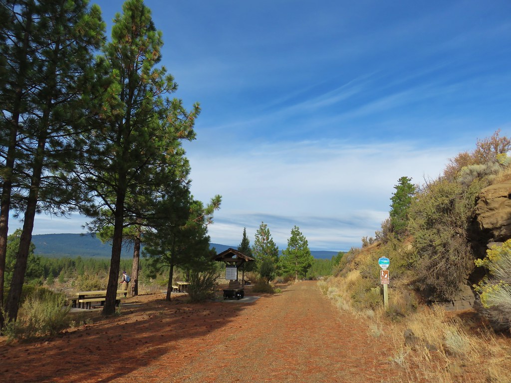
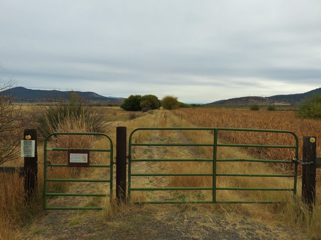
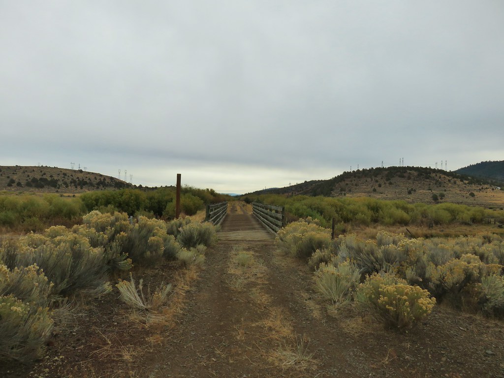
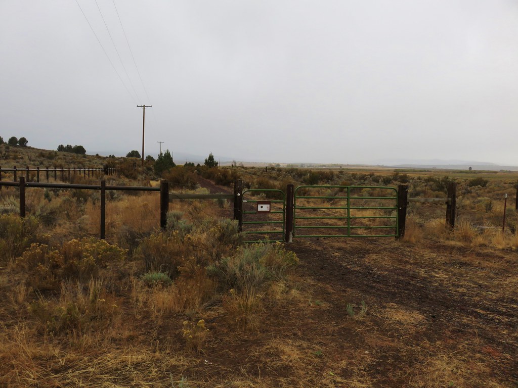
For our second hike on the OC&E Trail we returned to the community of Sprague River and turned east onto Sprague River Road for 10 miles to Highway 140. We then turned left onto this highway and followed it into Beatty (5 miles) where we again turned left onto Godowa Springs Road. Just over a half mile down this road we parked near a green gate. (There are gates on both sides of the road marking the trail.)
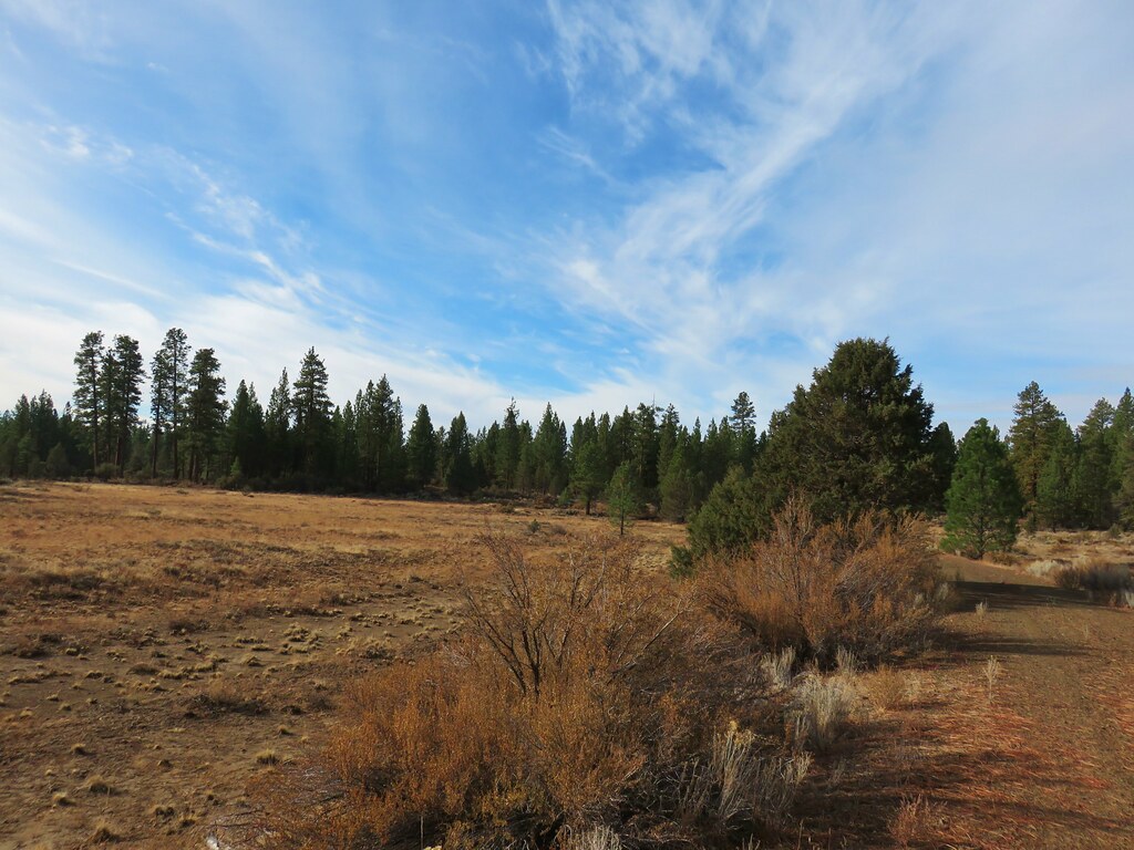
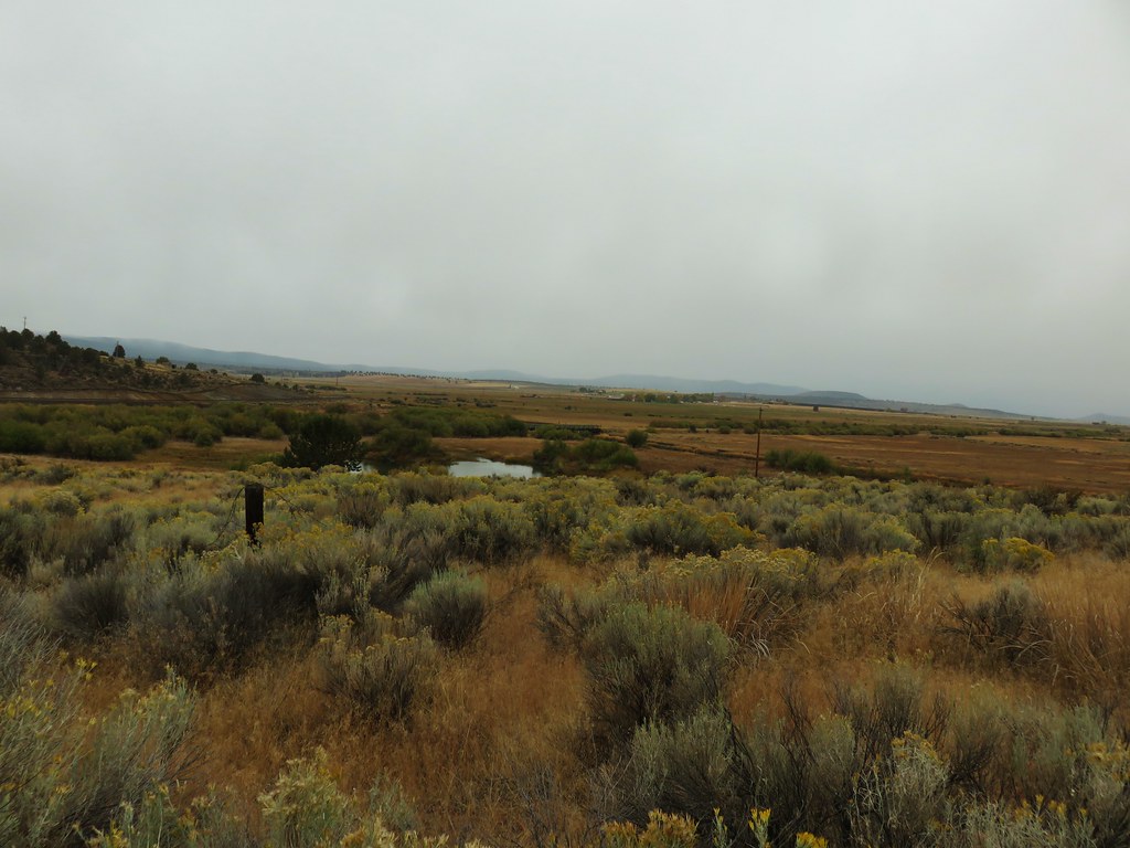
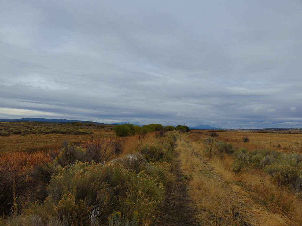
Here the plan was to hike east for 1.2 miles to a fork in the trail where we would complete a two mile loop, with a side trip to Brown Cemetery, before returning to Godowa Springs Road. This section of the OC&E Trail passed through pasture with the Sprague River just to the north.
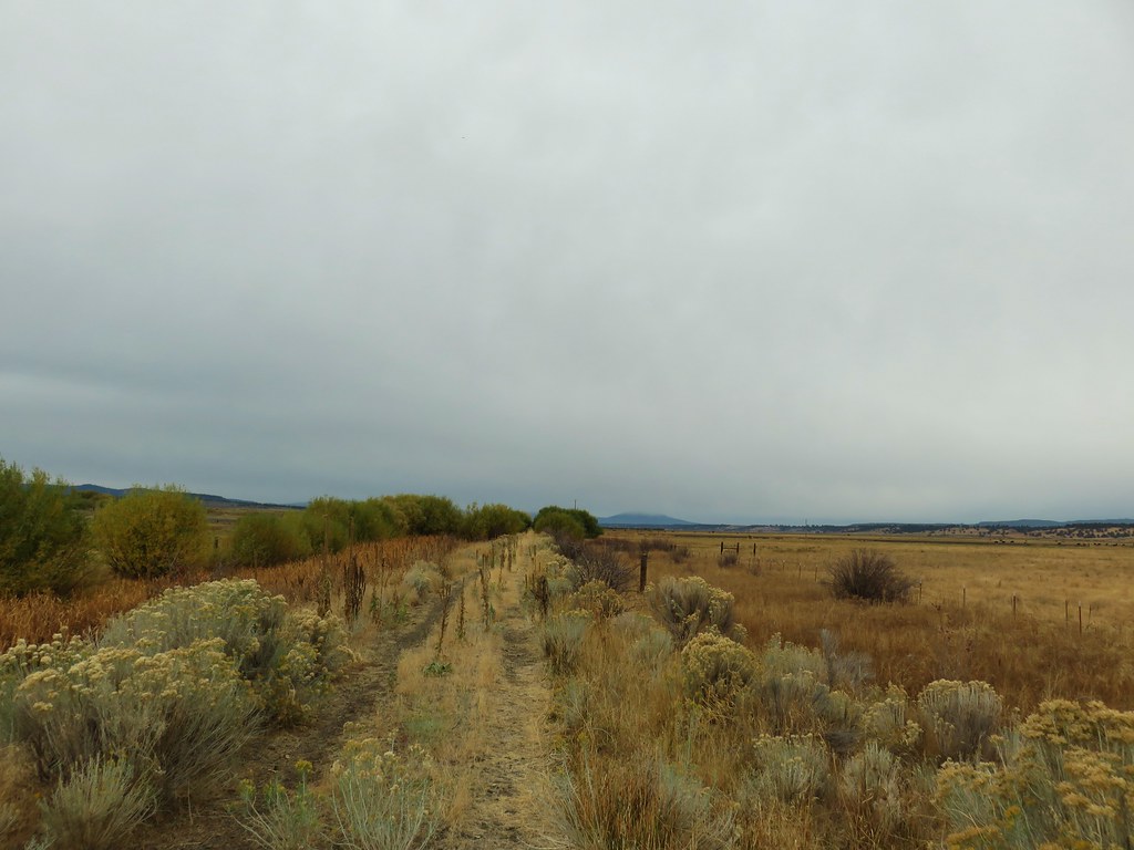
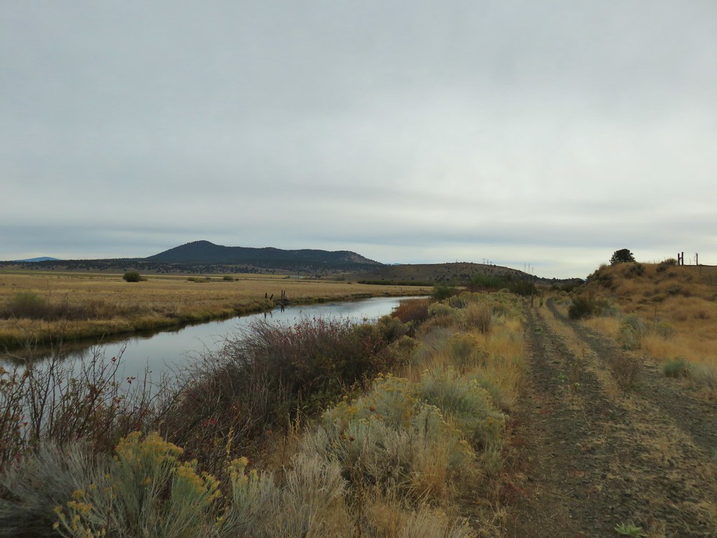
At the .6 mile mark the Sprague River bent north and Spring Creek took over it’s position to the left of the trail.
We crossed Spring Creek on a bridge where we spotted something in the water.
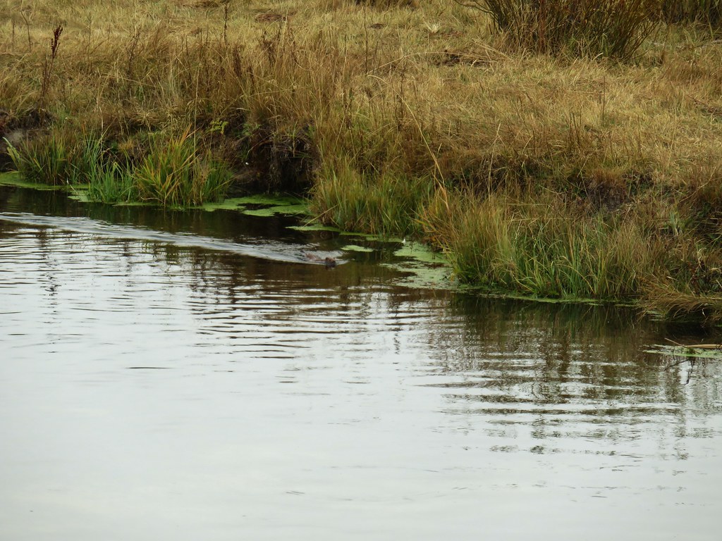
At first we thought it was a nutria given that we see them in fields near water quite often but after looking at the pictures later we discovered that it had actually been a mink.

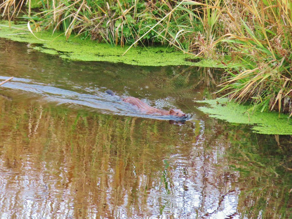
After watching the mink disappear into the bank we continued on to the fork where we stayed right on a fainter track.

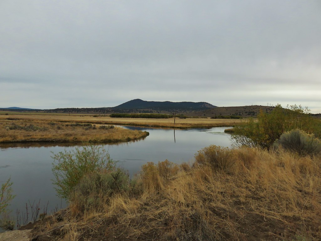
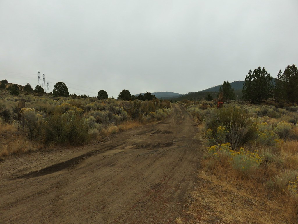
We crossed the Sprague River on another bridge and then three tenths of a mile later arrived at a junction of dirt roads.

At the junction we made a nearly 180 degree left turn and took a right fork uphill.
As we followed this roadbed uphill we could see that the wet weather was finally on its way.
After following this road for .3 miles we turned right onto another road which led us to the Brown Cemetery in an additional .2 miles.


A couple of deer bounded away from the cemetery as we approached. We briefly explored the different grave sites then returned to the other road on continued on the loop under a light rain.
Four tenths of a mile from the cemetery entrance road we arrived at an abandoned railyard where we turned left and passed through another green gate.
In another .7 miles we had completed the loop and were on our way back to the trailhead.
The rain had let up and we remained relatively dry which was a win for us. Seeing the mink was a nice surprise and the fall colors at Devil’s Garden had been unexpectedly beautiful. Not a bad way to kickoff a last minute trip. Happy Trails!
Flickr: OC&E Woods Line State Trail

4 replies on “OC&E Woods Line State Trail”
Cool! I rode the OC&E rail trail in it’s entirety in May while doing the Oregon Outback. I remember that Aspen grove near the rail switchbacks. I also remember that long section thru the cowfields just outside of Sprague River. We also had rain threatening there, a strong crosswind and lots of wildlife sightings along the river. Cool area.
I remembered that someone we knew had been on those sections earlier in the year but had forgotten it was your trip. You mentioned Beatty on one of the photos and I thought, we’ll be in that area at some point. (Didn’t expect it to be this year though.) 🙂
That is some really nice color!
[…] #83 OC&E Railroad – Hiked 10/5/2018 […]