We were going to be in Eugene for a joint celebration birthday celebration for our Son and Heather’s Dad at 1pm so if we were going to sneak a hike in it needed to be one close enough to Eugene to make it to the restaurant in time. It seemed like the perfect time to hike at Mt. Pisgah which is located SE of Eugene and just minutes from its downtown. The area is home to Buford Park and the Mount Pisgah Arboretum and offers many miles of trails.
We had been on some of these trails in December 2013 when we were participating in the Frozen Trail Fest 15k. That day had lived up to the race’s name, but now we were heading back to officially check off another of Sullivan’s Featured Hikes.
 North Trailhead in 2013.
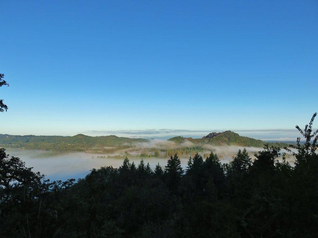
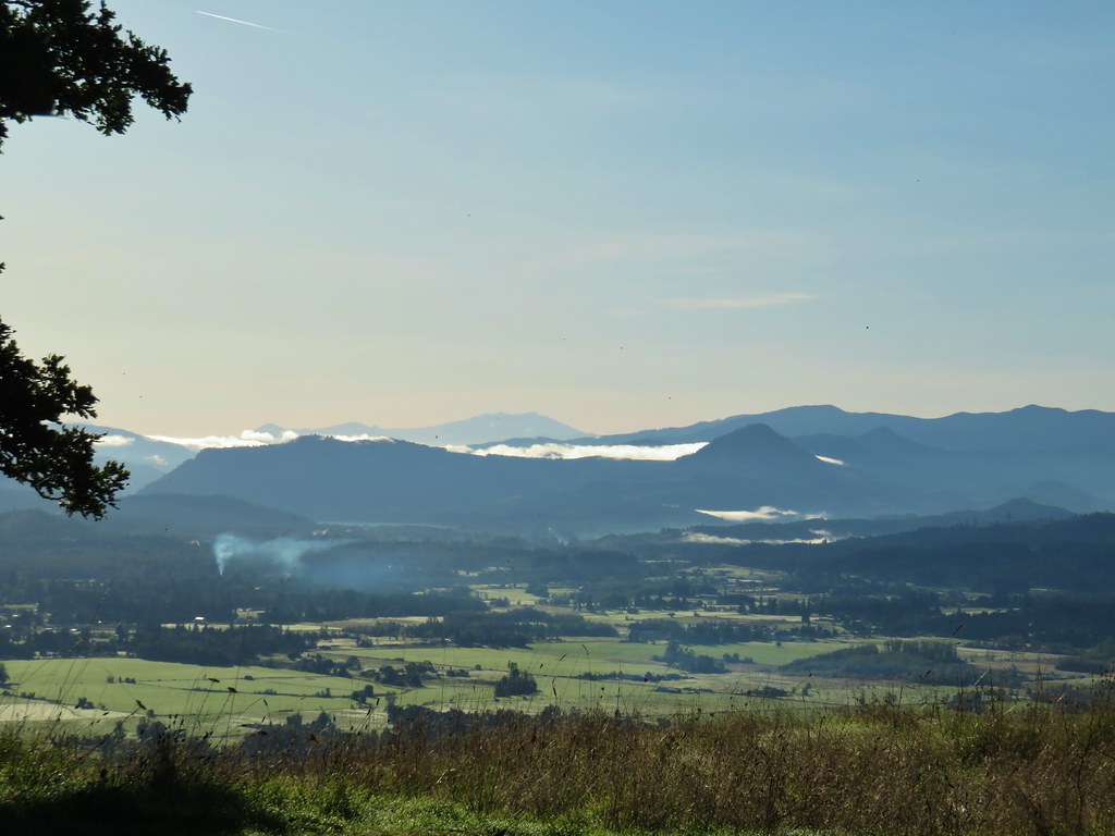
Unlike the Frozen Trail Fest the forecast for our hike was for patchy fog but otherwise sunny conditions with a high in the mid 60’s. During our drive we passed through several of the foggy patches but at the Mount Pisgah Arboretum parking lot the conditions were good.

There is a $4/day parking fee which can be paid online or at a kiosk at the trailhead.

We didn’t have a set route planned out. Sullivan suggests a 3 mile round trip to the 1529′ summit of Mount Pisgah and/or a 1.7 mile loop in the arboretum. We were looking for something closer to 10 miles. With reportedly over 30 miles of trail in the area, getting in 10 miles wouldn’t be a problem, it was just a matter of coming up with a route that included both the summit and the arboretum. We formulated a plan at the large map on the trailhead signboard.

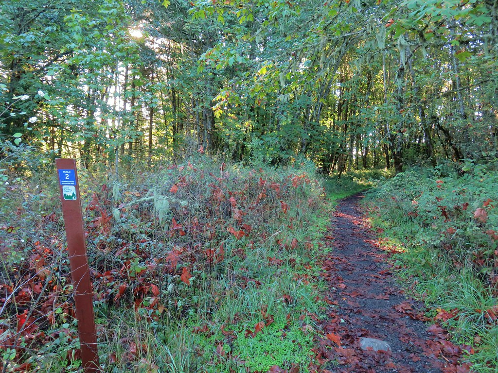
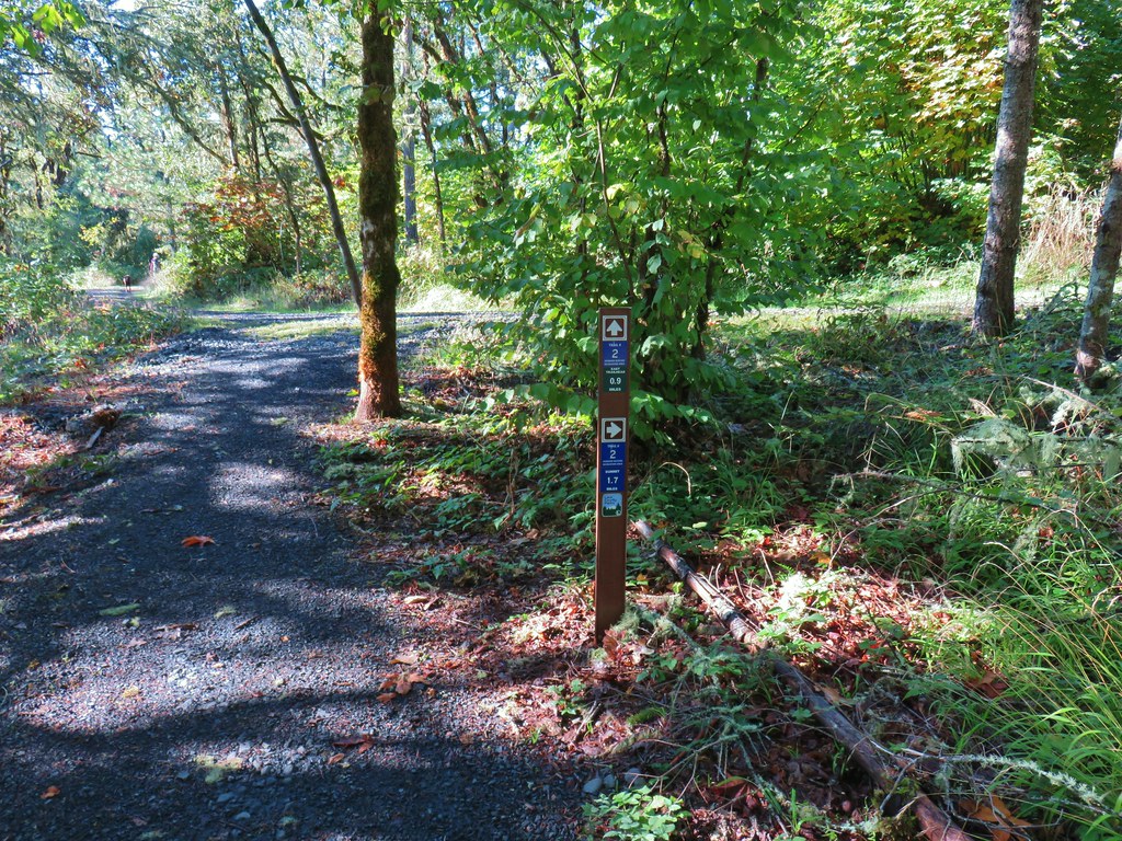
The trails in Buford Park are number with the main trails being 1-7 and with connector trails being a combination of the numbers of the main trails on either end of the connector. For instance we started our hike on Trail 17 which connects trails 1 & 7.
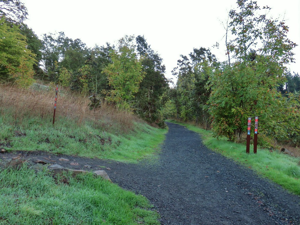 Trail 17 to the left with Trail 1 straight ahead.
The route we decided on included trails 17, 7, 3(with an out and back on 30), 4, 14, 1, 2, 24, 4 again, back to 2, 6(briefly), 3, and 5 which would bring us back to the arboretum where we would then decided which trails to take there among the various possible loops. The trails were all well marked so following the route was no problem.
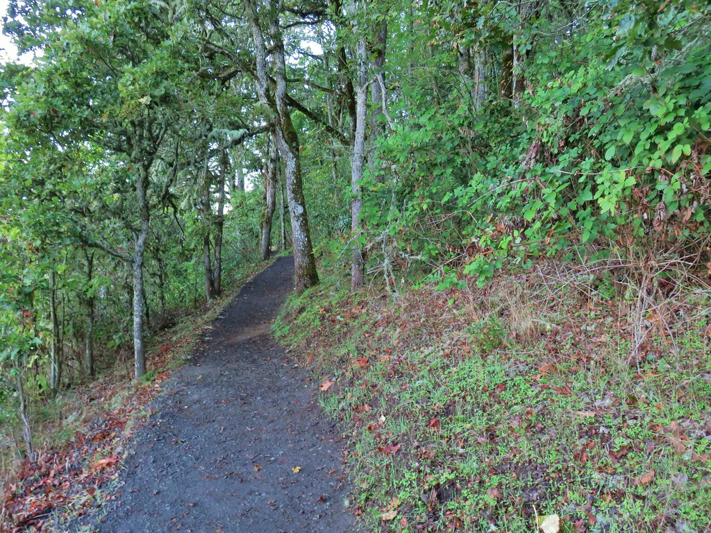
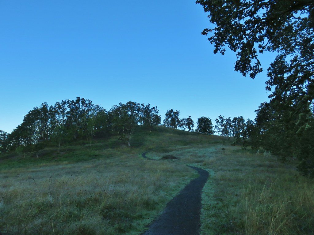
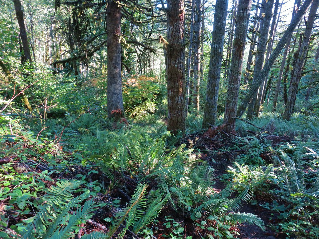
Trail 17 climbed uphill for approximately half a mile to Trail 7. Like much of the park it passed through sections of forest and open oak woodlands.


At the junction we turned left opting for a longer trek to the summit.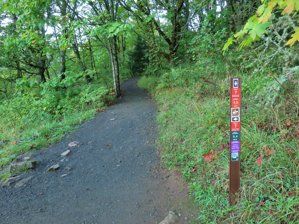
We now headed back downhill on Trail 7 to the North Trailhead where we had started the Frozen Trail Fest race.


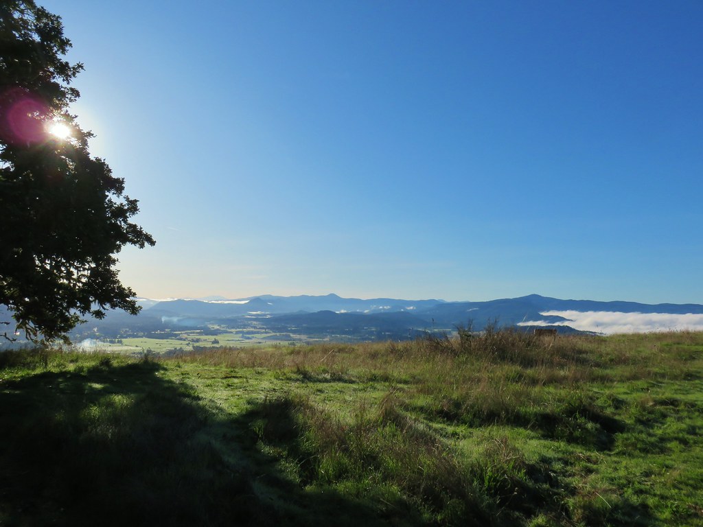
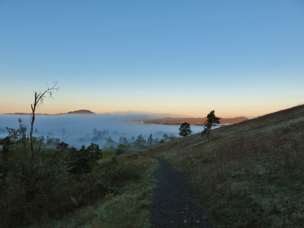 Some of the patchy fog in the valley over Eugene.
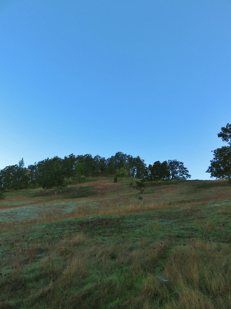 Swing Hill
 Deer high up on the side of Swing Hill.
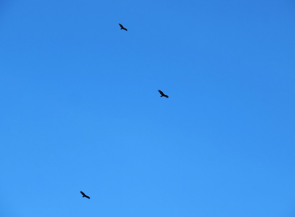
 Geese flying in front of the fog.
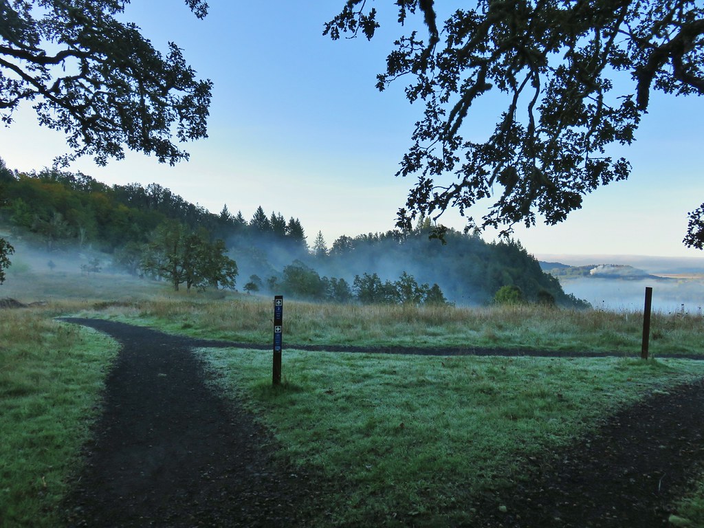
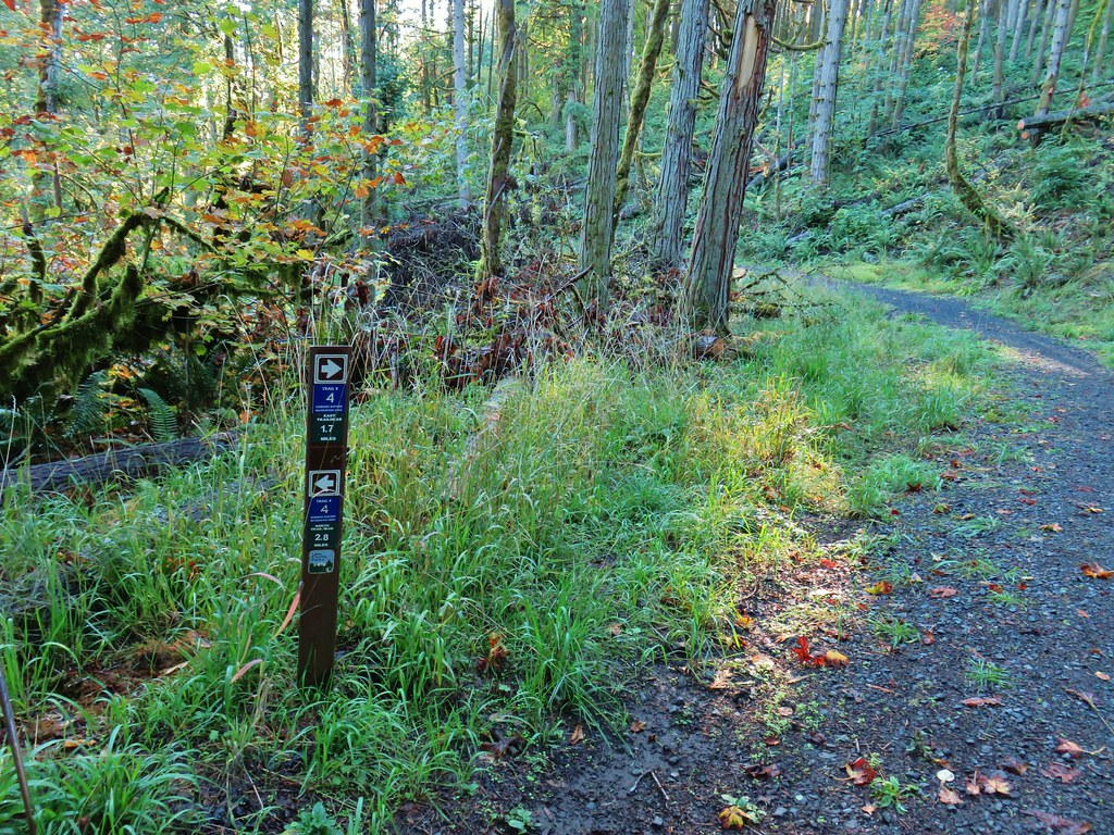
At the North Trailhead we followed a pointer for Trail 3.

Trail 3 wrapped around the base of Swing Hill to its northern side where it started to climb in earnest up to a saddle.
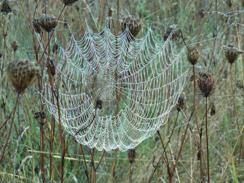
 There were a lot of wet spider webs shining in the brush.


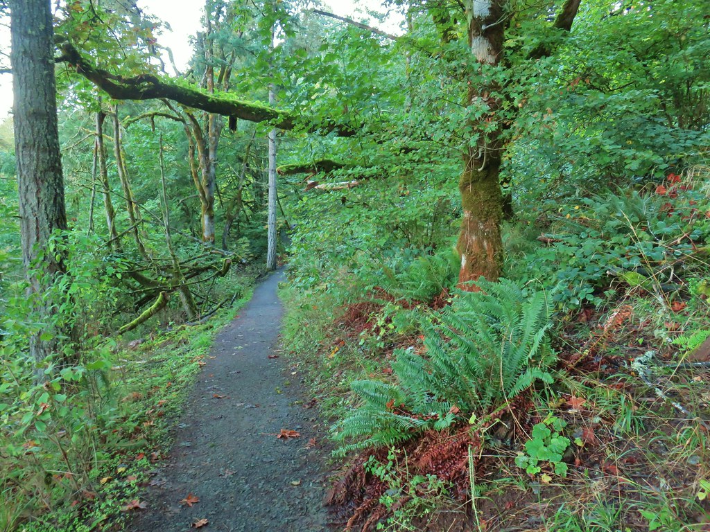
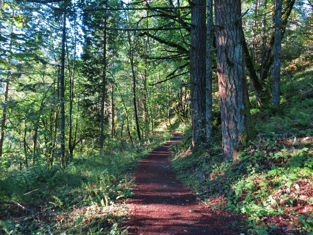
 The north side of Swing Hill was very forested.
 Saddle below Swing Hill
At the saddle we turned right on the .1 mile Trail 30 which ended at a bench and swing atop Swing Hill.

 View from Swing Hill
We returned to the Saddle and continued on Trail 3 until we came to the junction with Trail 4.

We could get to the summit going either way but chose the slightly longer (1.3 vs 1.0 mile) Trail 4 which traversed around a forested hillside to a junction with Trail 14.


Trail 14 was only a few hundred feet long, ending at a junction with Trail 1 at a saddle with a bench where we turned left.

We ignored Trail 2 when we came to it in order to visit Mount Pisgah’s summit which was just another tenth of a mile up Trail 1.

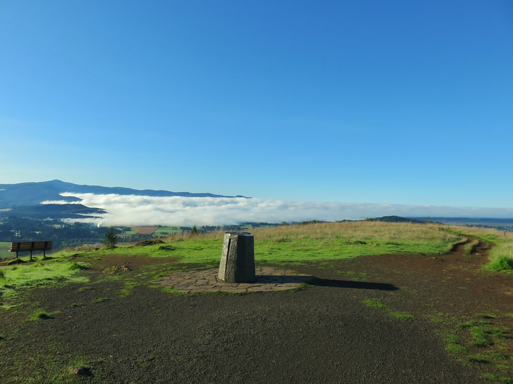
It was a beautiful day to be at the summit although being so early in the day the position of the Sun limited the ability to get a good look to the east at the snowy Diamond Peak and the tops of the Middle and South Sister. It’s the one consistent issue with hiking early in the morning on the west side of the Cascades.
 Diamond Peak on the horizon.
 Diamond Peak
 Diamond Peak
 Middle and South Sister.
 Middle Sister
 South Sister photobomb by swallows
 South Sister without swallows.
 Spencer Butte to the west.
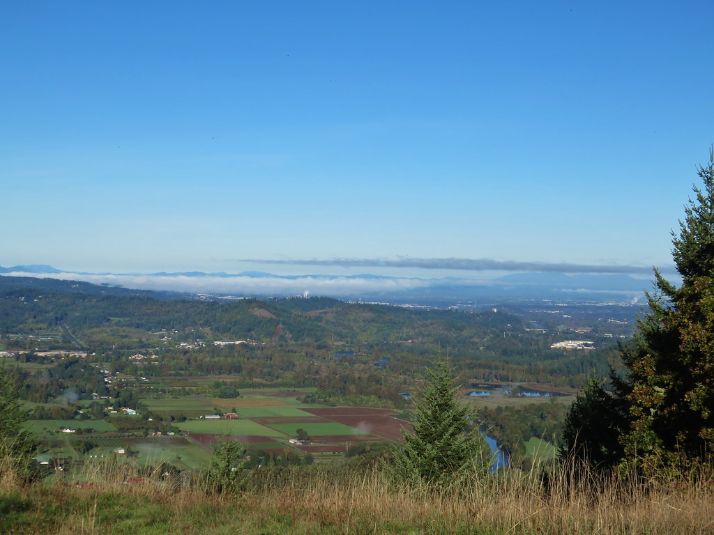 Eugene and the Coast and Middle Fork Willamette Rivers.
After taking the views from the summit (and watching the swallows) we backtracked the .1 miles to Trail 2 and turned downhill.
After a short stint in the trees Trail 2 entered an open hillside with additional views of Diamond Peak.
 Looking back uphill.
 Sun still causing problems with the view.
After .4 miles on Trail 2 we turned left at a pointer for Trail 24.

Trail 24 was a narrower track that headed steeply downhill through the forest. We had to be a little more careful to avoid the occasional poison oak that is present throughout the area.
 Some red leaves of poison oak along Trail 24.
The trail was only about a quarter mile long ending at Trail 4 where we turned right.
This stretch of Trail 4 followed an old road bed to some power lines where the road bed gave way to single track.


 More poison oak
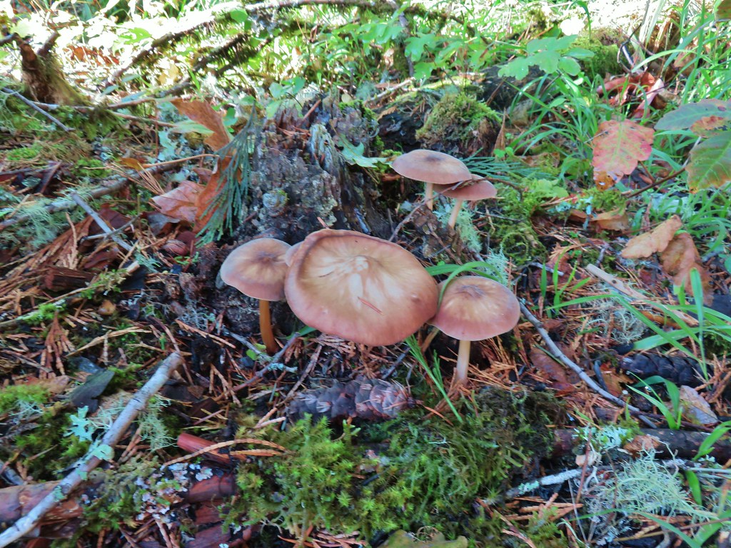 Mushrooms
We went straight on Trail 2 when we arrived at that junction.
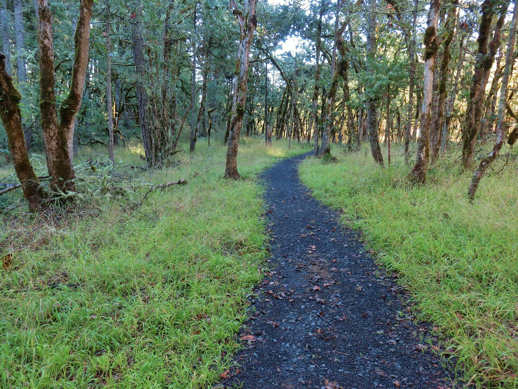
Trail 2 reentered the oak grassland before arriving at a junction with Trail 6 near the East Trailhead.

 Bright red tree at a nearby farm from Trail 2.

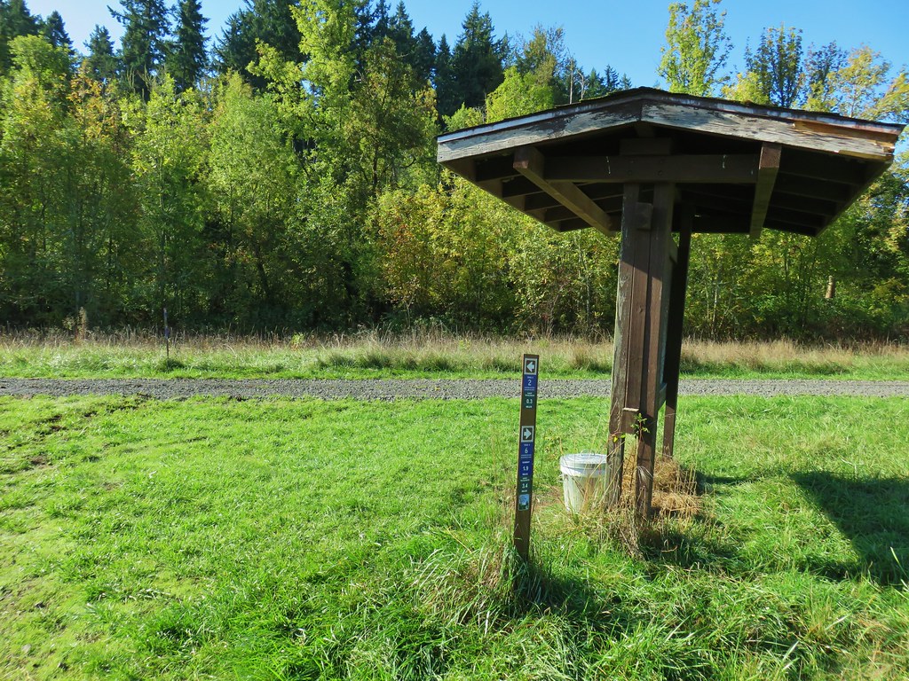
We turned right on Trail 6 near a signboard and followed it a few hundred feet before veering left onto Trail 3.


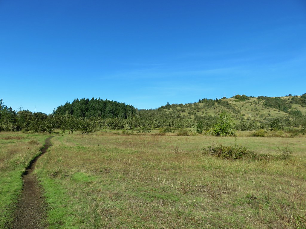
Trail 3 passed through more grassland and crossed a couple of stream beds, one with flowing water.


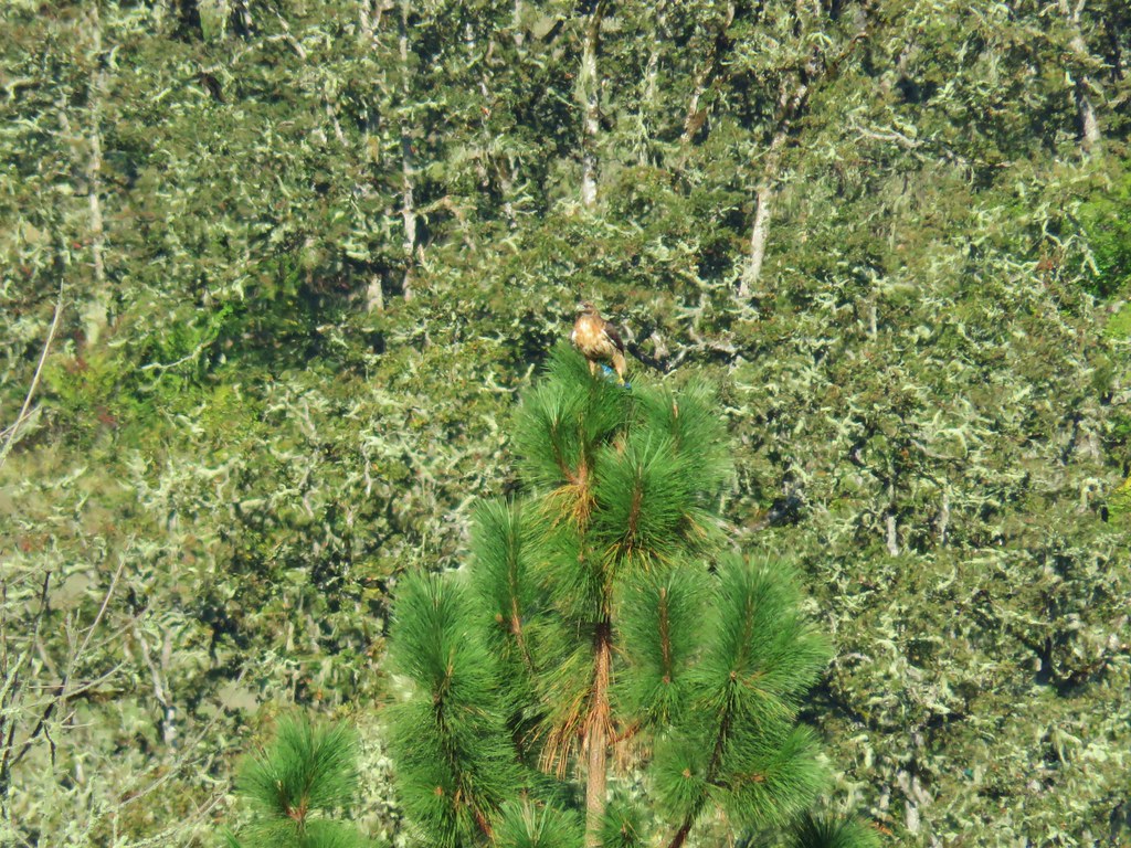
In between the stream beds we heard a ruckus as a few scrub jays sounded very agitated. We quickly spotted the reason, a hawk was in the area. It looked like it might have caught brunch but we couldn’t tell for sure until later; when looking at the pictures it became apparent that it had snagged a jay.

Just beyond the flowing stream crossing we left Trail 3 (which headed uphill) and turned left onto Trail 5.

Trail 5 was posted for hikers only as it headed to the South Meadow and Mount Pisgah Arboretum.


Trail 5 followed the stream downhill then turned right as it approached the Coast Fork Willamette River. A very short unmarked path led down to the river bank here.


After visiting the river we returned to Trail 5 and continued toward the arboretum. Before reaching the arboretum we passed a blank signboard at the South Meadow.

We opted not to explore any of the trails in that area this time and stayed on Trail 5. There were a number of birds along this stretch (there had been quite a few all over but most weren’t interested in having their pictures taken).

 Ladybug
 A few late bloomers.
A post announced the boundary of the arboretum.

We decided that prior to taking any other trail we needed to make a pit stop at the restrooms so we stuck to Trail 5 aka Quarry Road on the arboretum map until we passed an old barn.

We veered left onto the Riverbank Trail here and followed it to the restrooms.


After the pit stop we headed back following Meadow Road past a pavilion back to the barn.

Near the barn we stayed on Meadow Road following a pointer for the Wetlands Exhibit.
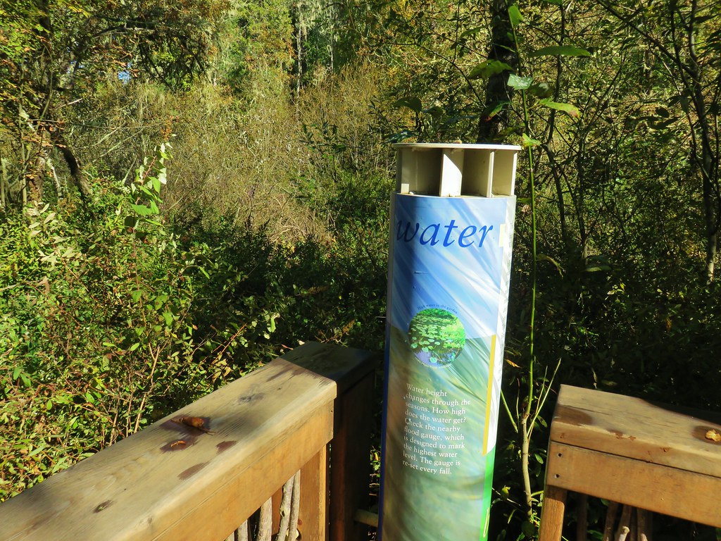
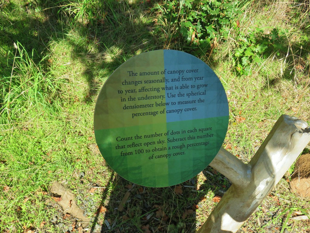
We continued to follow pointers for the Wetlands Exhibit which led us to the unique exhibit.


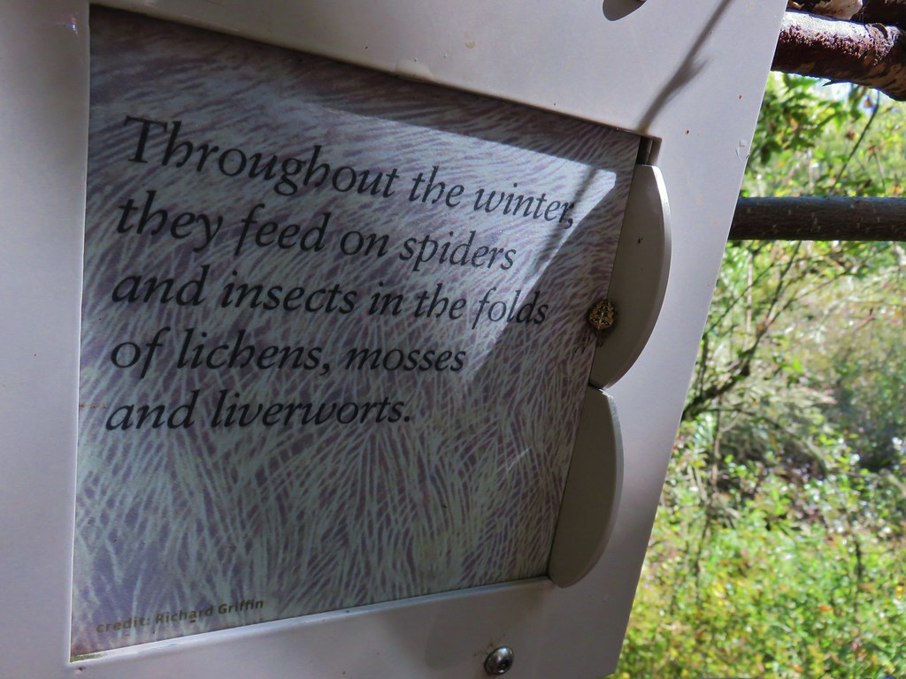
There was quite a bit of information present in interactive displays. There was also a wolf spider with a sense of irony hanging out on one of the signs.


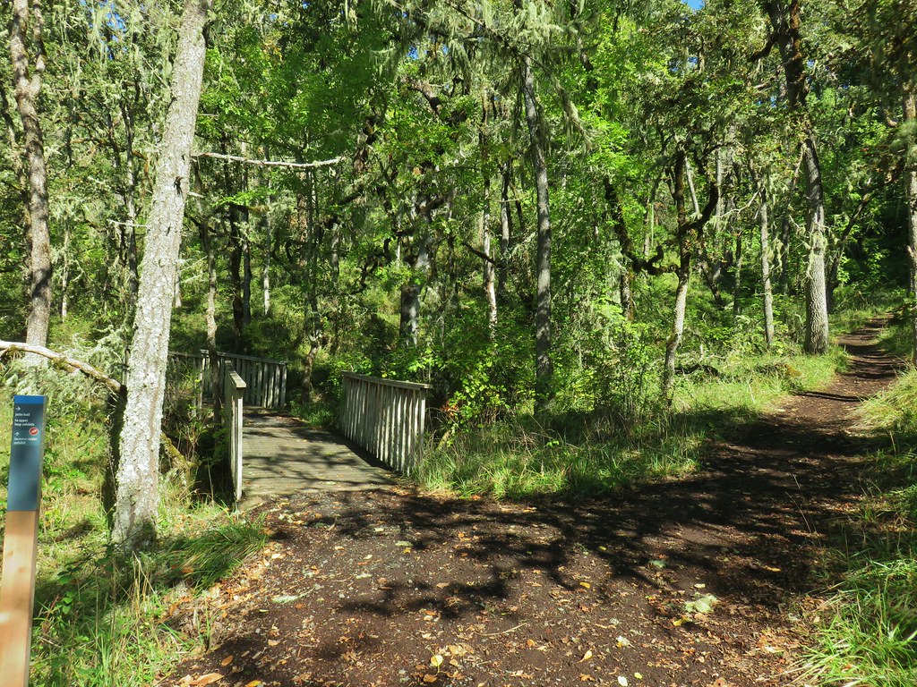
After checking out the exhibit we returned to the Water Garden Trails and followed them to the Vern Adkinson Bridge.


We crossed the bridge then promptly cross Quarry Road and headed uphill on the Jette Trail.
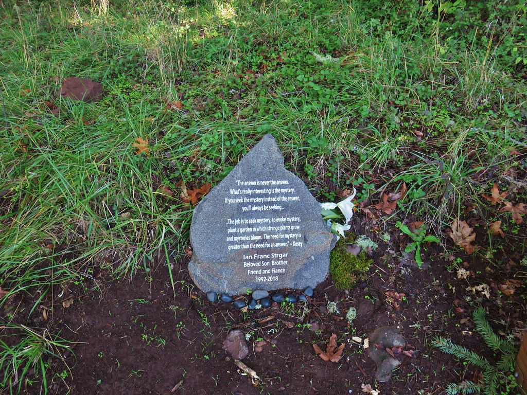
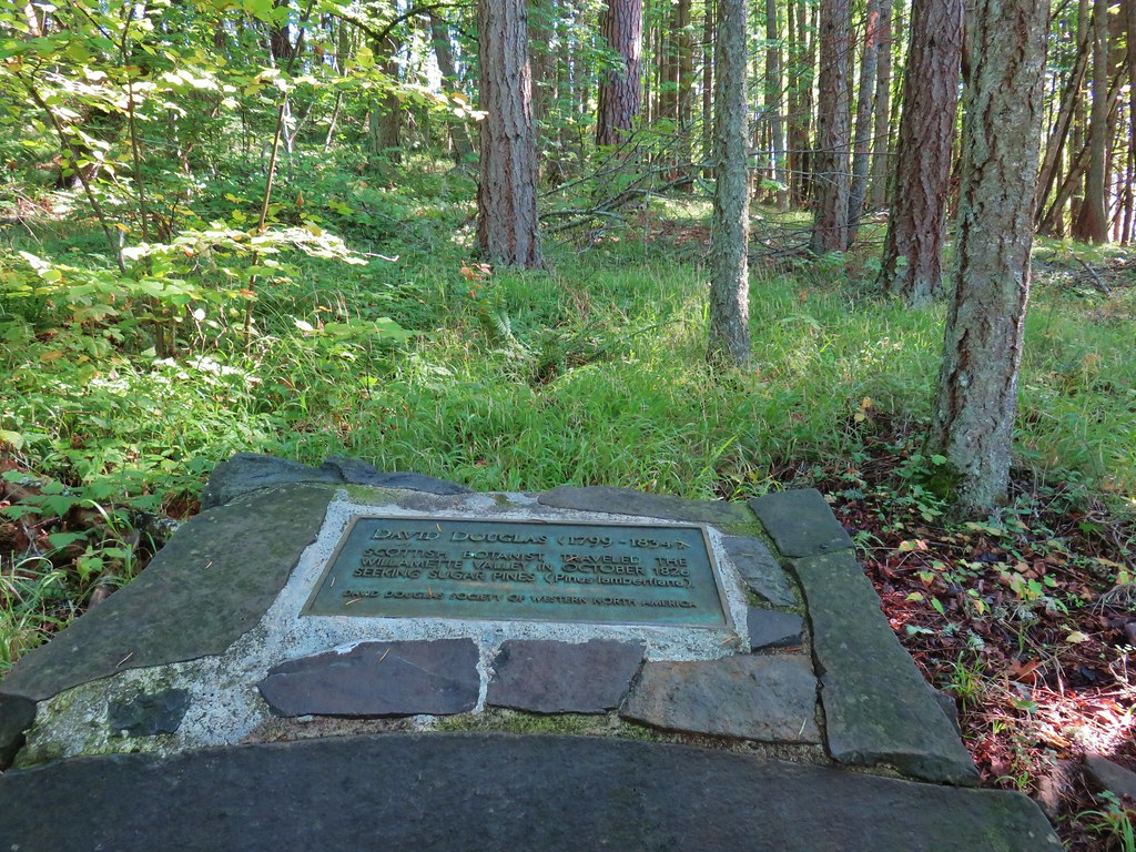
The Jette Trail climbed uphill passing the Cedar Trail (We decided to save the Incense Cedar Exhibit for another visit.) and some memorials.
 Cedar Trail to the left.
We detoured left 100′ on the Buford Trail to check out the interactive Oak Woodlands Exhibit.


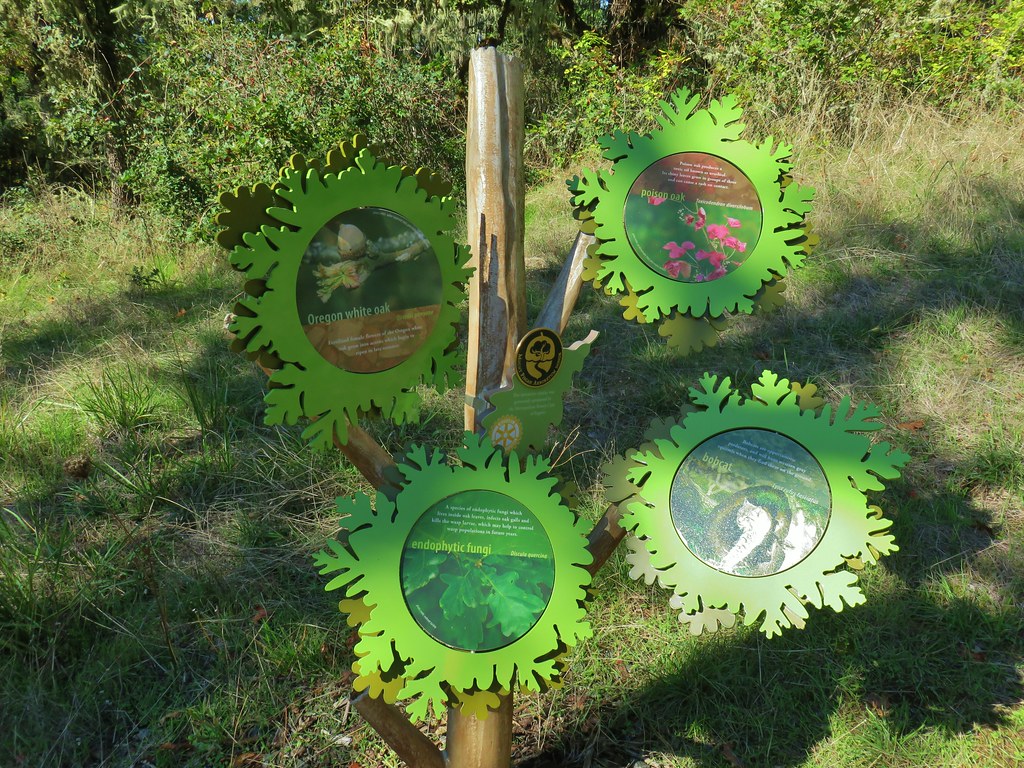

This was a really neat exhibit and would be great for kids. After playing around with the exhibit we continued on the Lower Plateau Trail.

We paused briefly to locate the source of the sound of knocking on a nearby tree. It was a partially visible pileated woodpecker.

 Mount Pisgah from the Lower Plateau Trail.
We turned left when we reached a post for the Zig Zag Trail which did just that as it headed downhill.


This trail brought us down near the pavillion. They were setting up for a wedding there so we stayed right on the Creek Trails which led through a picnic area to the arboretum entrance near our car.

The route had worked out well coming in at 10.5 miles and taking just over 4 hours and 45 minutes leaving us nearly an hour to change and drive the 15 minutes to the restaurant in Eugene. The route also managed to incorporate at least part of each trail numbered 1-7 albeit only very briefly on Trail 6. (We ran walked up this trail during the Frozen Trail Fest so we’d seen enough of that one.)
With the numerous trails and loop options available the Mount Pisgah area offers a lot of options and the exhibits in the arboretum make it a good place to bring the kiddos. Happy Trails!
Flickr: Mount Pisgah

4 replies on “Mount Pisgah – 10/05/2019”
hiking with you is always a pleasure (visual). Beautiful day !
We love Mt. Pisgah! Looks like a good hike. Great shots of the clouds sitting in the valley.
We found amazing amounts of Checker lillies when we were there in April.
[…] Pisgah (post) through the trees across the Middle Fork […]
[…] Pisgah (post) just across the Middle Fork Willamette River with Spencer Butte (post) behind to the […]