**Note the 2020 Lionshead Fire burned the area covered by this hike.**
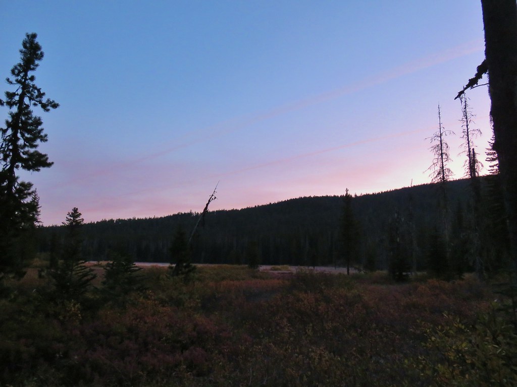
We’re entering the time of year where the weather can be a real wildcard. A week earlier there was snow down to the mountain passes. There wasn’t any snow in the forecast but a continuously changing threat of cloudy conditions and rain showers kept us from deciding exactly where we’d be heading until the night before. A mostly cloudy but precipitation free forecast led us to our third hike of the year in the Olallie Lake Scenic Area for a lake filled hike where the presence of clouds would have minimal affect on the scenery.
Our plan was to follow a route suggested by Matt Reeder in his “101 Hikes in the Majestic Mount Jefferson Region” starting at the Olallie Meadows Campground and taking the Lodgepole Trail to the Red Lake Trail which we would then take east to the Pacific Crest Trail. Heading north on the PCT would bring us to the Russ Lake Trail. After a side trip to Russ and Jude Lakes we would take the Russ Lake Trail west to the Lodgepole Trail and return to Olallie Meadows. That was our plan anyway but it isn’t quite how things played out.
We parked at a trail sign at the end of the Olallie Meadows Campground and checked out the meadows while we waited for a little more light. The sky was fairly cloud free which was encouraging but it also meant that the overnight low of 35 that had been in the forecast was actually 27 (according to the car).
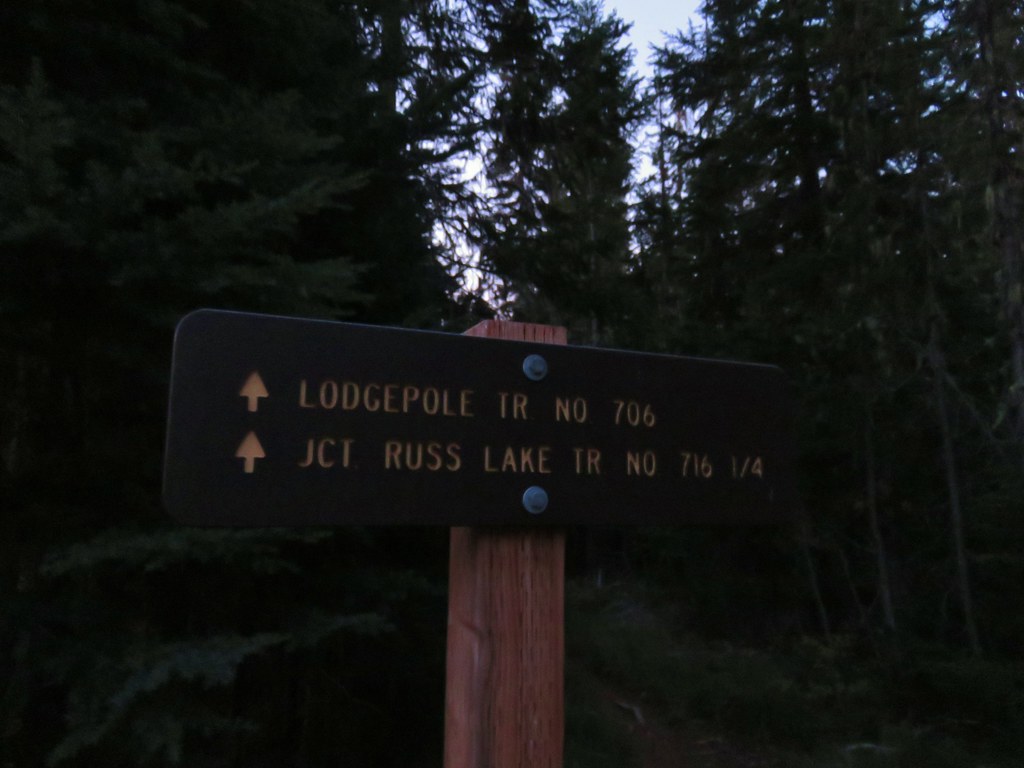
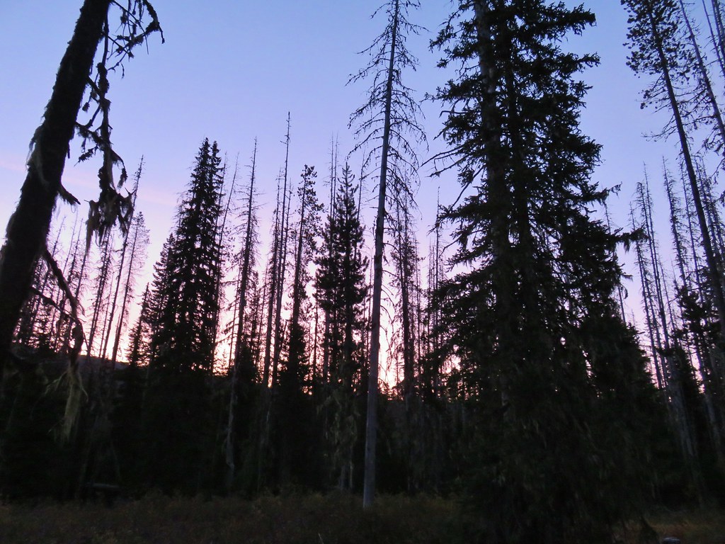
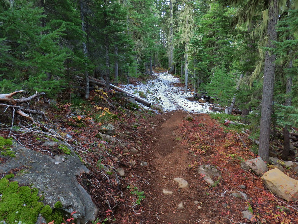
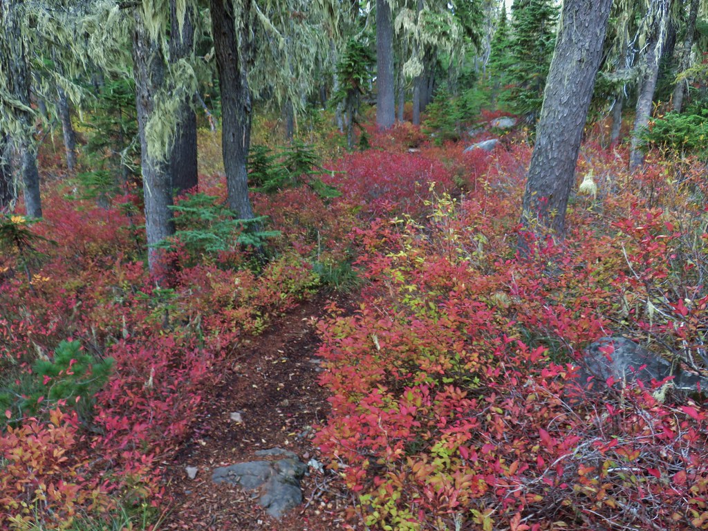
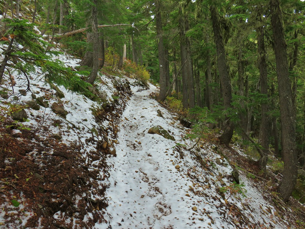
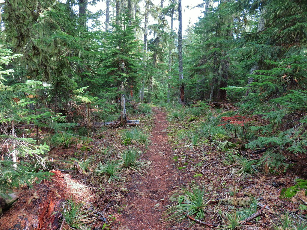
We didn’t have to wait long and soon we were crunching along the trail. There was a lot of frozen moisture so every step sounded like we were crushing a bag of potato chips, it wasn’t a good sign for seeing any morning wildlife. A quarter mile from the trailhead we passed the Russ Lake Trail junction where we would be coming from on our return.

For now we stayed straight enjoying the fall colors and traces of snow along the trail while we tried to keep some feeling in our fingers.


After a short climb the view ahead opened up to Olallie Butte which we’d climbed earlier in the year.(post)

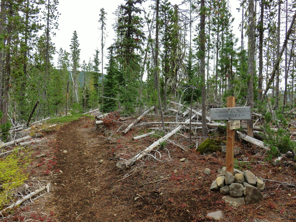
Three quarters of a mile from the Russ Lake Trail we arrived at another signed junction.

We turned right here onto what turned out to be the Pacific Crest Trail (we didn’t notice the marker on a nearby tree on this first pass) following a pointer for Olallie Lake.

Shortly afterward we began to realize something was amiss. Prior to setting off we had taken a last look at Reeder’s map and remembered that there was a short section of trail that we would not be hiking on if we did the loop the way we’d planned. What we didn’t remember was where that section was, but if we were already on the PCT it didn’t seem possible for there to be such a section so we differed to the book and realized that somewhere between the Russ Lake Trail and the PCT the Lodgepole Trail should have forked to the right and crossed Skyline Road near the Triangle Lake Horsecamp. Neither one of us remembered seeing anything that looked like a trail. We contemplated going back to look for it, but decided to just continue on in the opposite direction as planned.
We followed the PCT south passing a large dry lake then a small frozen one before crossing under a set of power lines and passing the Olallie Butte Trail in just under a mile.


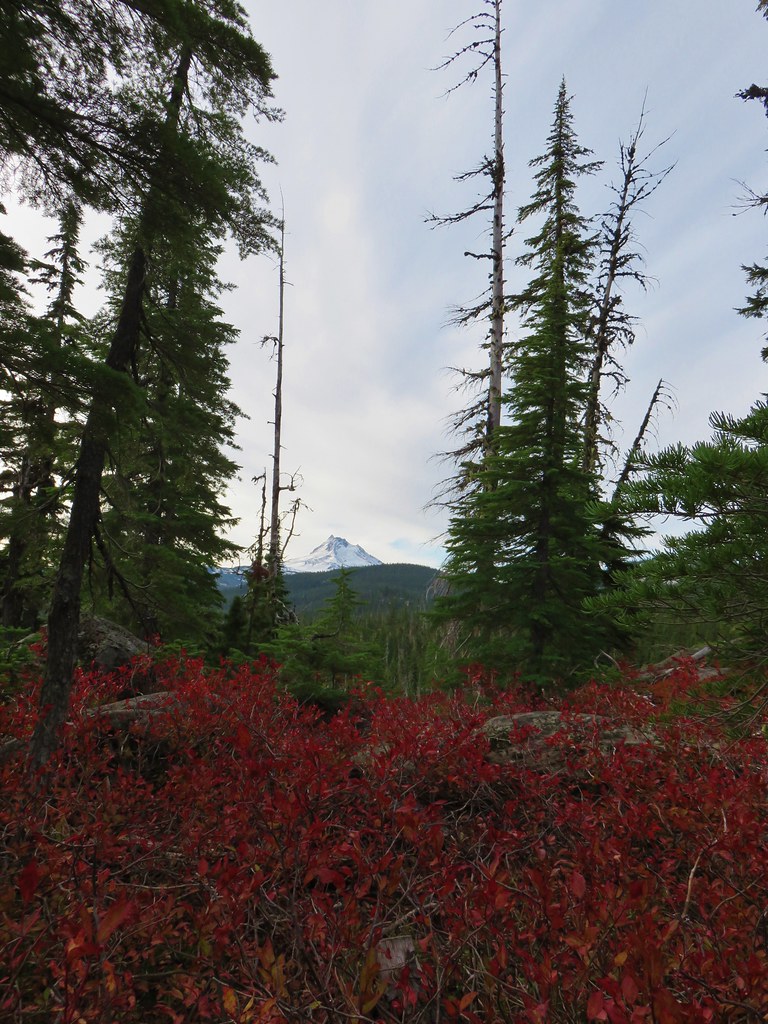
Another 2.2 miles on the PCT brought us more colorful foliage, another frozen pond, and a glimpse of Mt. Jefferson before arriving at Skyline Road just north of Olallie Lake (post).


We crossed the road sticking to the PCT and stopped to take a look at Head Lake.


Beyond Head Lake the PCT climbs for approximately a mile and a half to the Red Lake Trail junction. We had been on this section of the trail before (post) but on that day the clouds had restricted the views to the forest and ponds along the trail. In addition to the great fall colors on this trip we had some excellent views of Mt. Jefferson.

 Olallie Butte


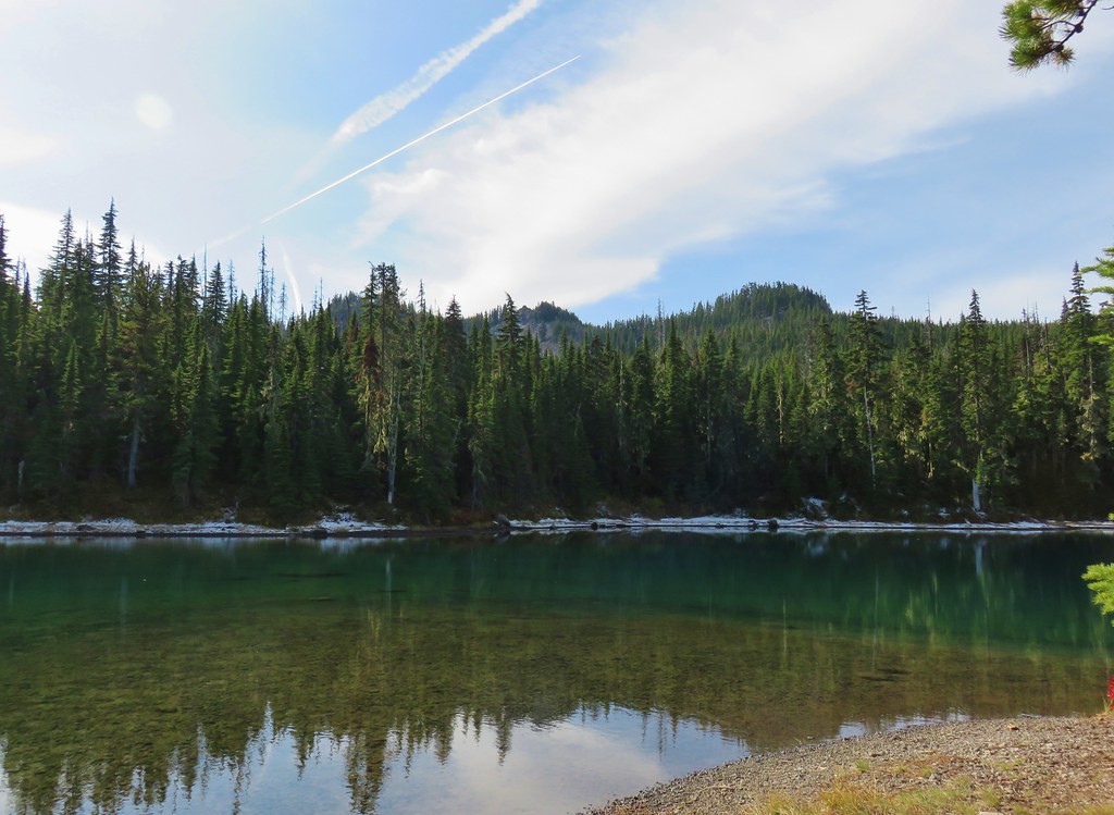
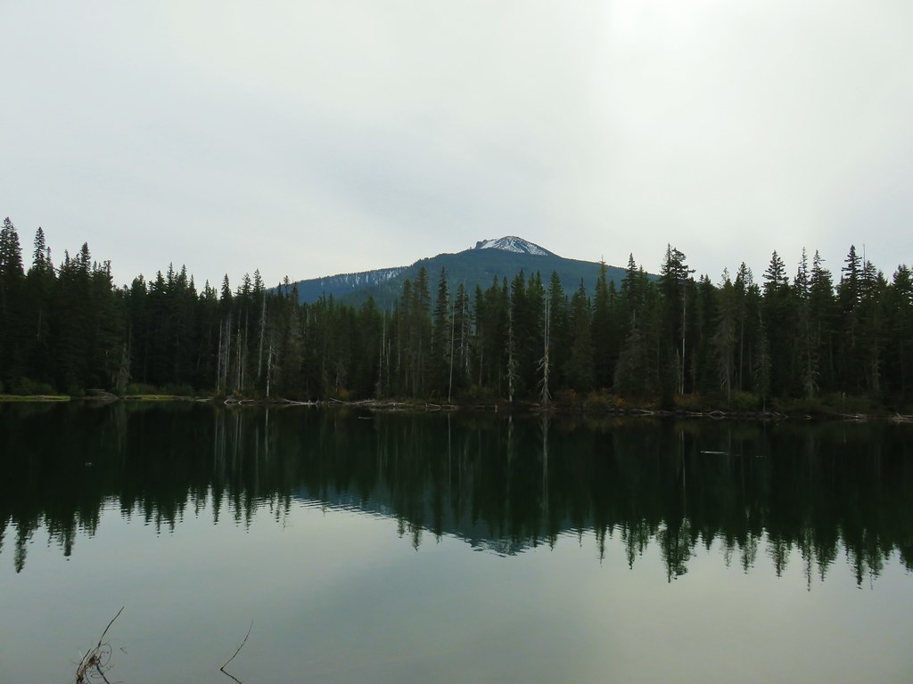
 Mt. Jefferson
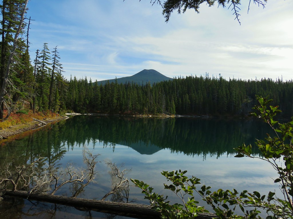
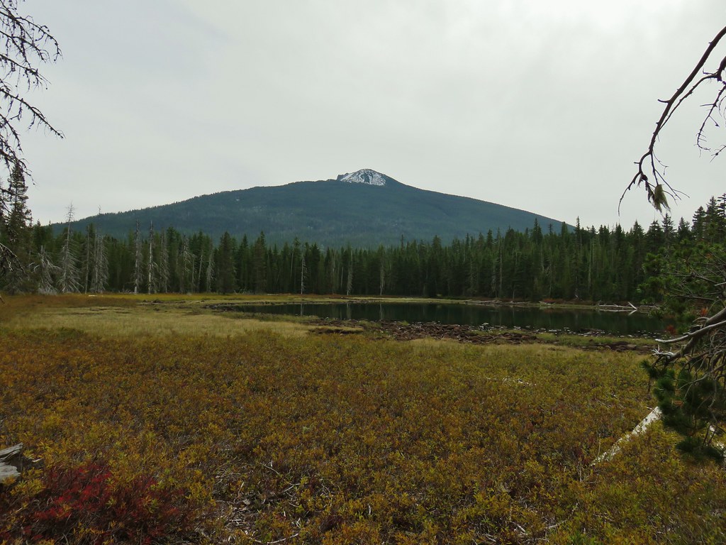
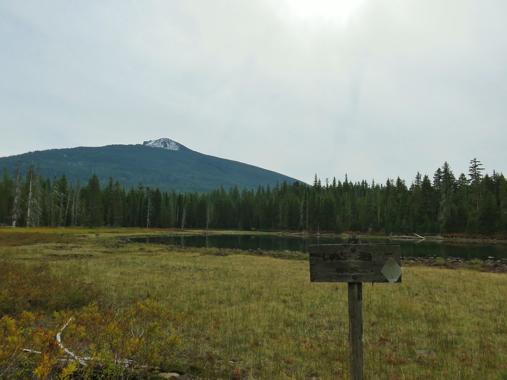
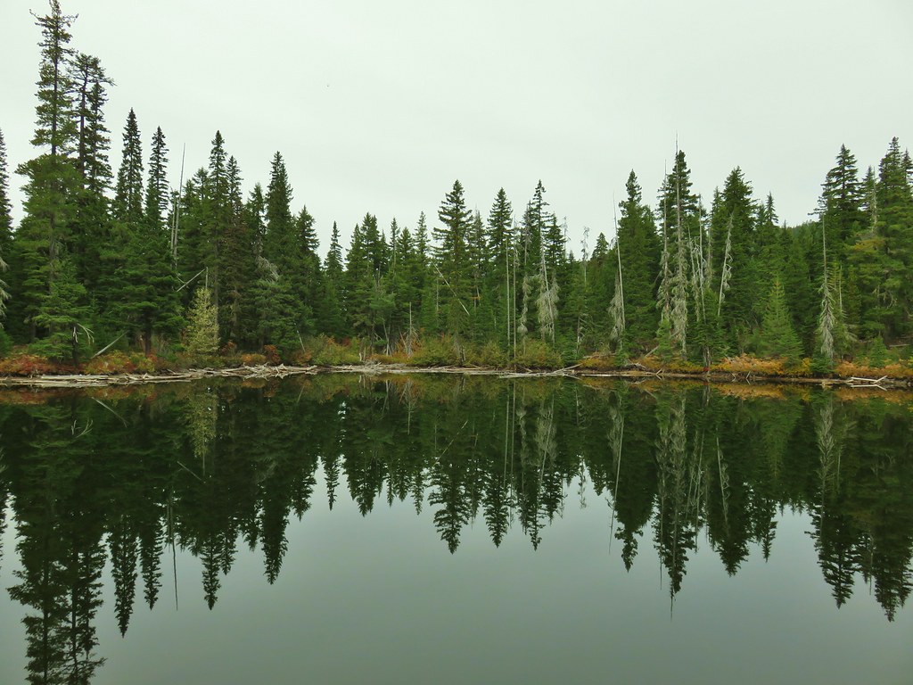
 Olallie Lake
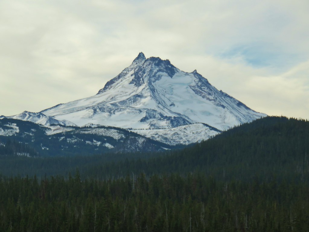

 Mt. Jefferson
We even had a rather obscured view of Mt. Hood for a moment.

At the junction with the Red Lake Trail we turned right onto that trail.
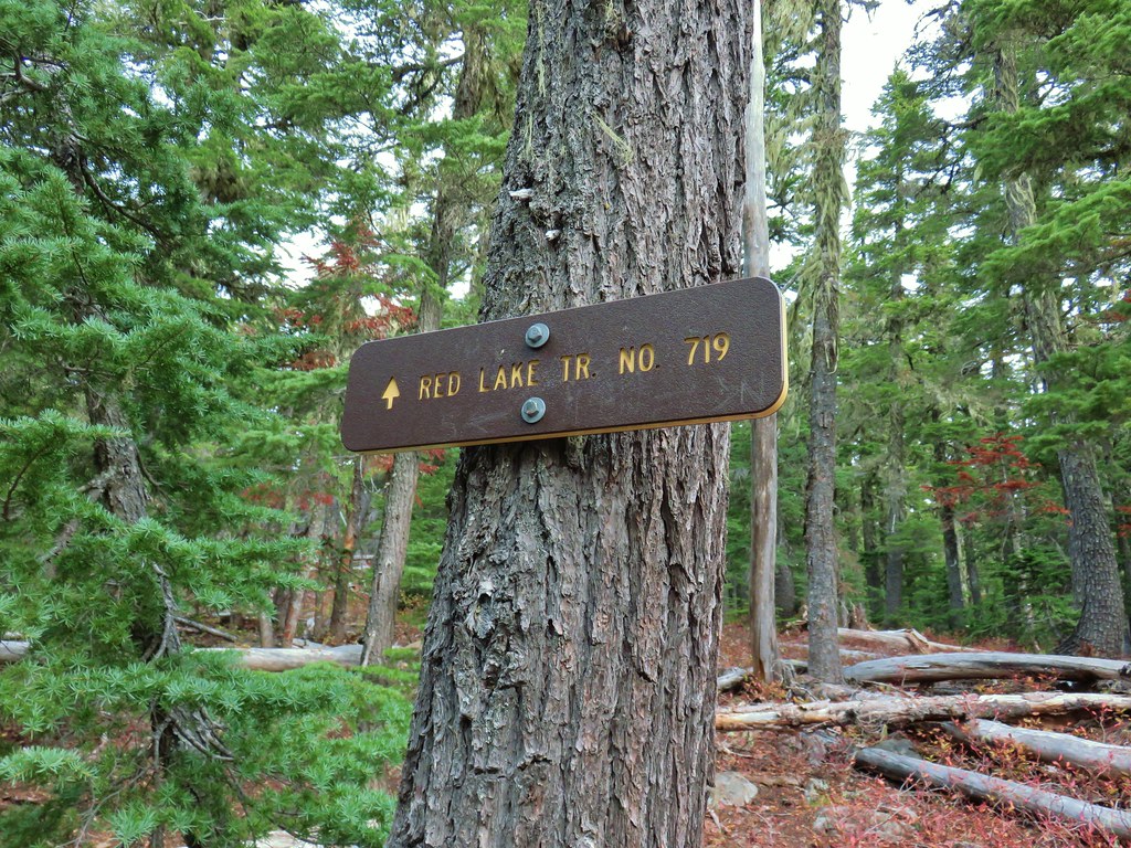
This trail was also familiar to us as including the unnamed lake below Twin Peaks.


Beyond the lake the trail began a rocky descent to a junction with the Lodgepole Trail just over a mile from the PCT.
 Potato Butte ahead.

 Lodgepole Trail junction.
Here we turned right back onto the Lodgepole Trail. We were back on new-to-us trail and in less than a quarter mile came to an unnamed lake on the left.

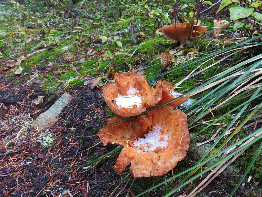
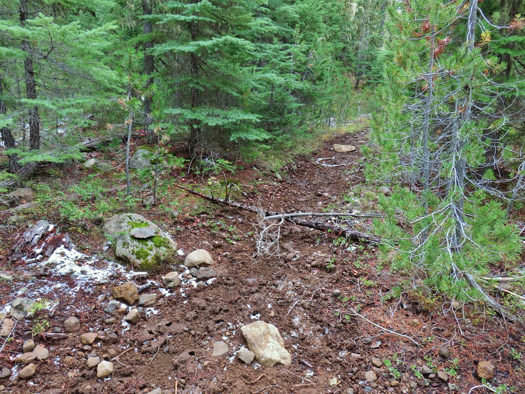
 One of the causes of the noisy steps.
Just over a quarter mile from the junction was Middle Lake on the right.
 Twin Peaks on the other side of Middle Lake.
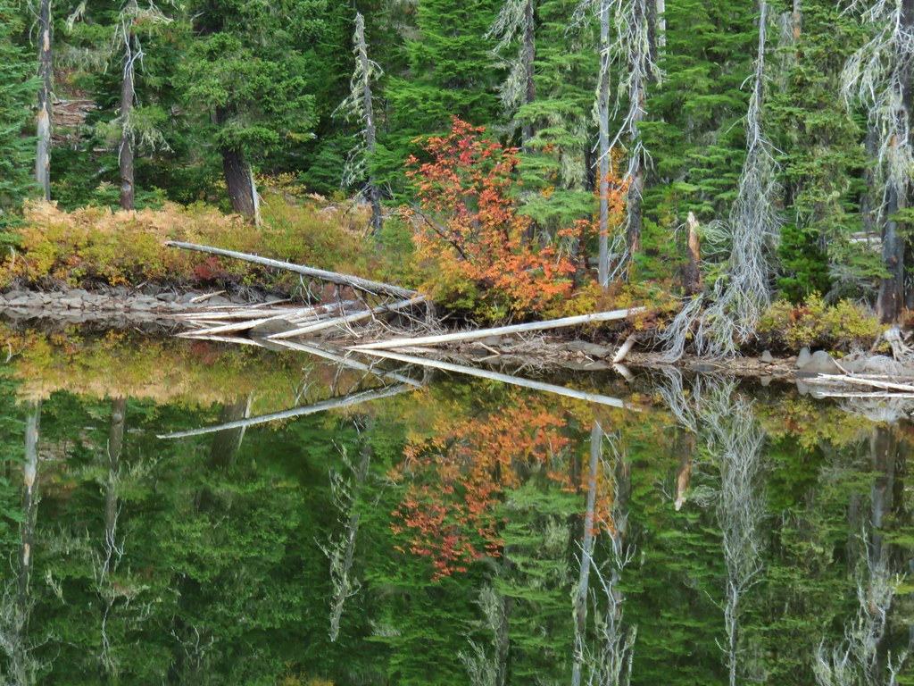
 Colors along Middle Lake.
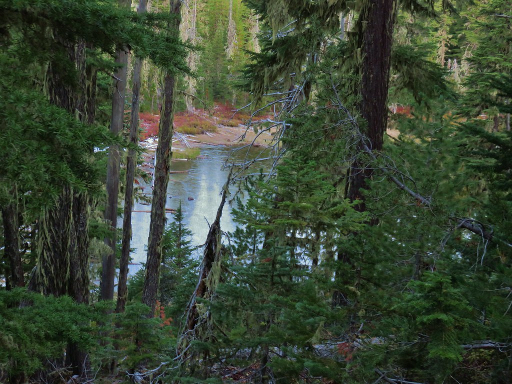
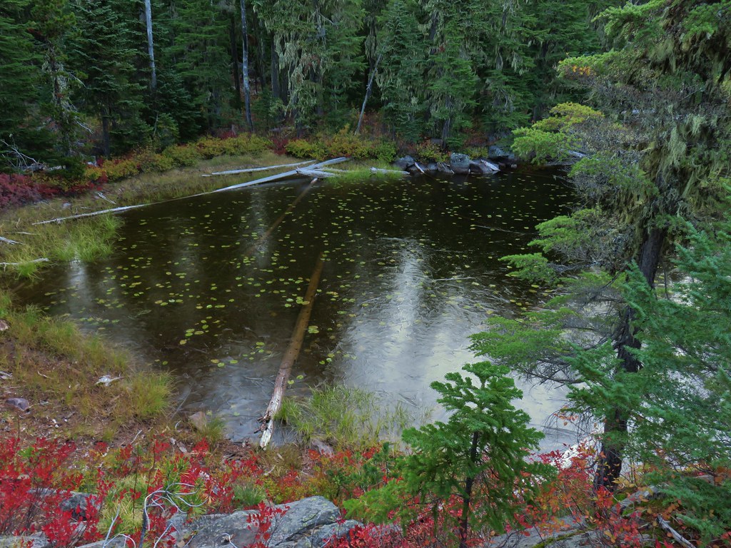
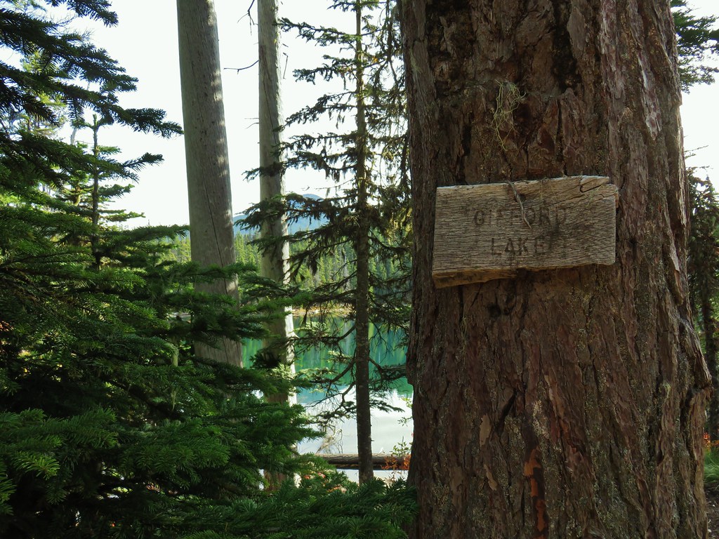
Next up was supposed to be a short out and back to Gifford Lakes on a trail located somewhere between Middle and Lower Lakes. We missed the unmarked trail on our first pass, but realized it fairly quickly when a GPS check showed we were closer to Lower Lake than we should have been. (For the record it’s about a quarter mile from Middle Lake.) We turned around and headed back the way we’d come looking for yet another trail we’d missed. I had an idea of where we’d missed it having noticed some logs and branches that looked like it could have been over an old trail. Sure enough that turned out to be the spot, but between the wood and snow it had been really easy to miss.

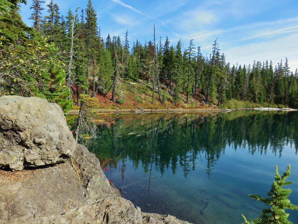
A .2 mile detour brought us to the larger of the two Gifford Lakes. We had heard that this was probably the prettiest lake in the area and we wouldn’t argue that.

 Olallie Butte

 Twin Peaks from Gifford Lake.

A trail to the left around the lake led to a ridge between the two Gifford Lakes. The smaller lake didn’t have the views that its larger neighbor enjoyed but it was scenic nonetheless.


After exploring the lakes and a snack break we returned to the Lodgepole Trail and turned right to continue on our loop. We came to another junction about .4 miles from the trail to Gifford Lakes.
Here the Lodgepole Trail continued straight crossing the Fish Lake Trail. We turned briefly down the Fish Lake Trail to take a quick look at Lower Lake before continuing on.
 Sign for the Fish Lake Trail.
 Lower Lake
 Olallie Butte
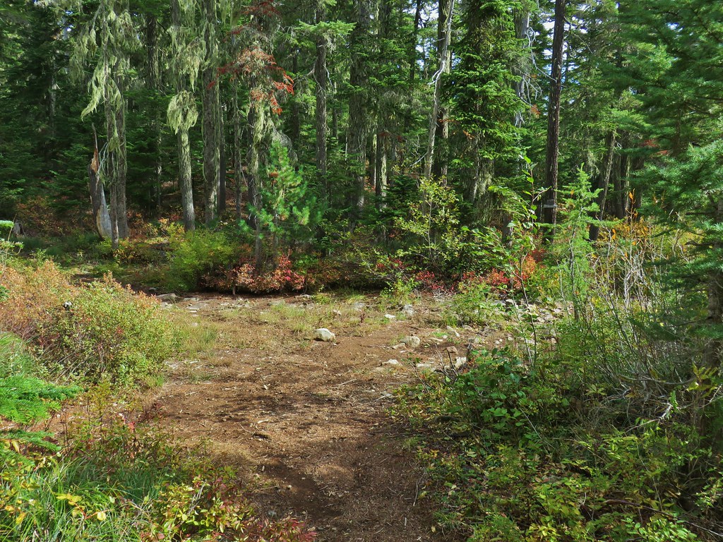
 Sign for the Lodgepole Trail.
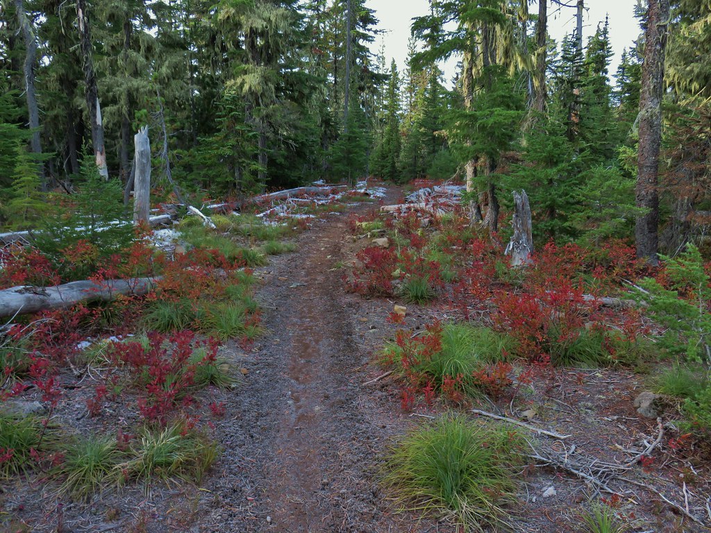
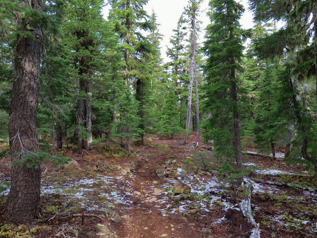
The trail dropped to a meadow then reentered the forest and climbed to a ridge top .8 miles from the junction.
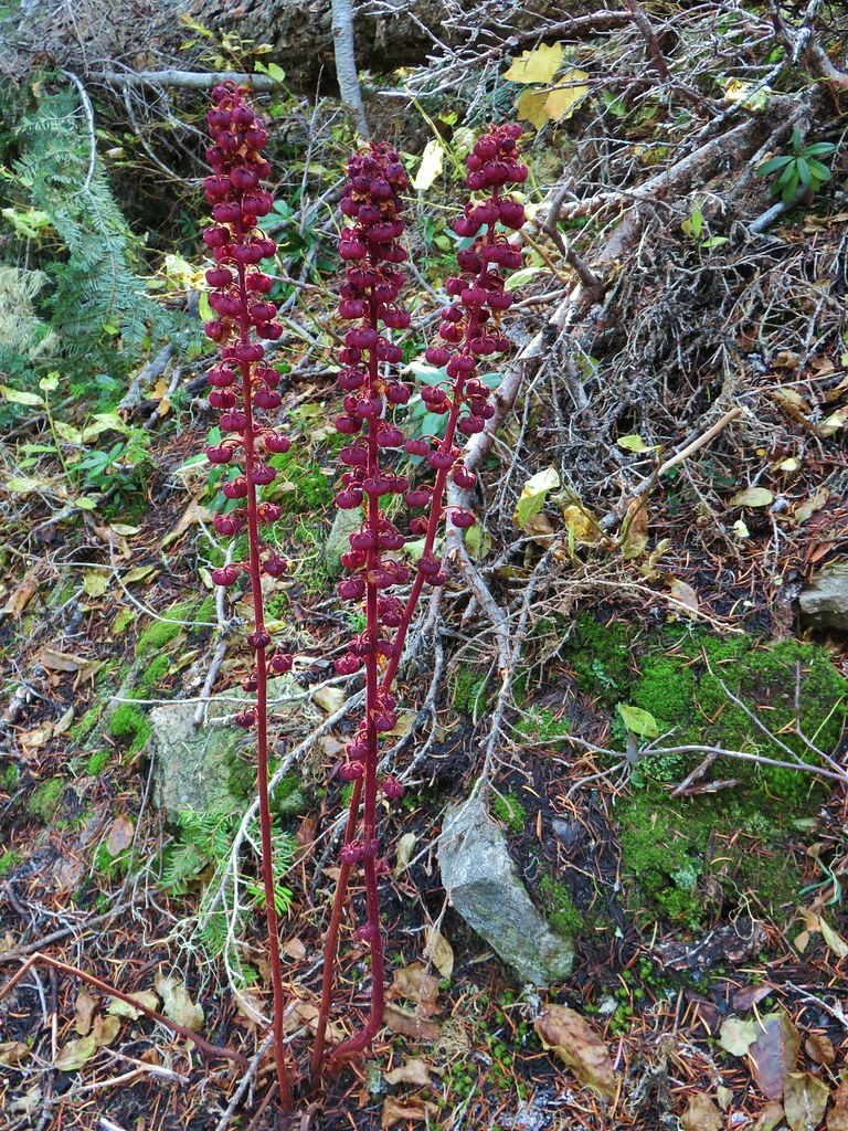 Pinedrops

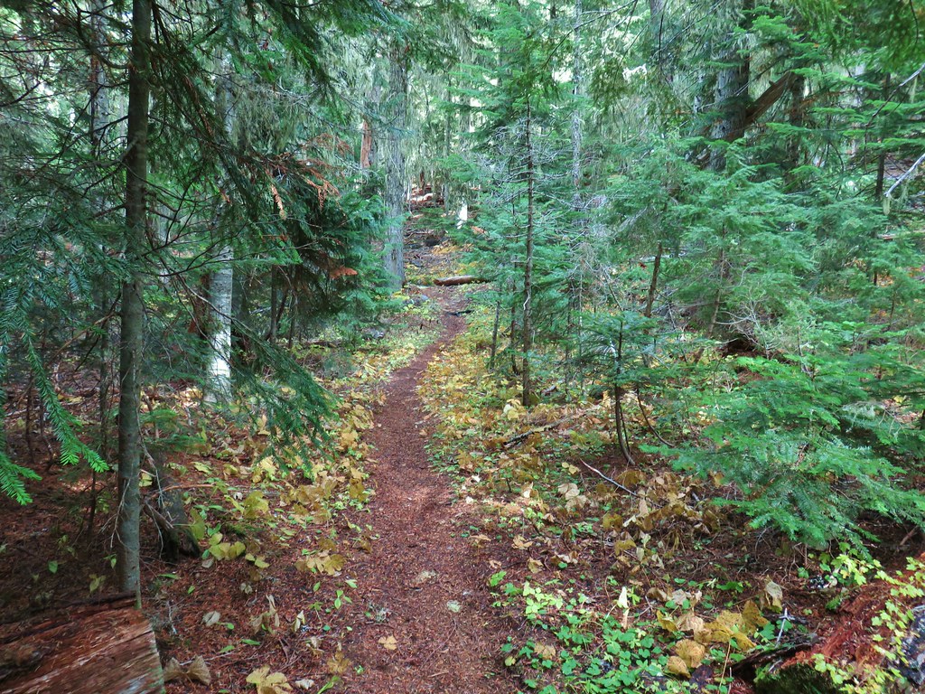
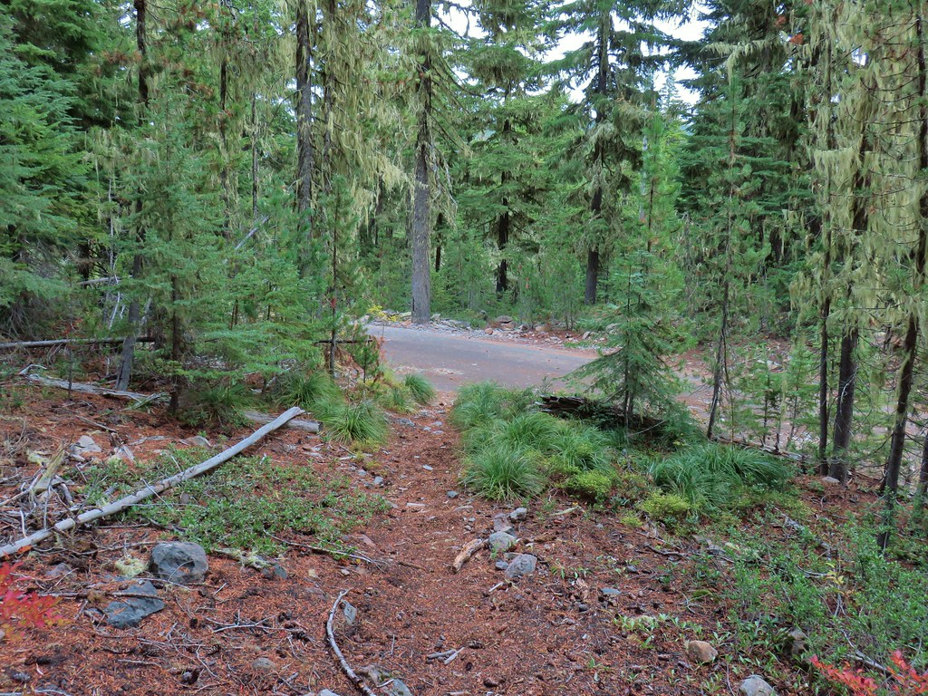
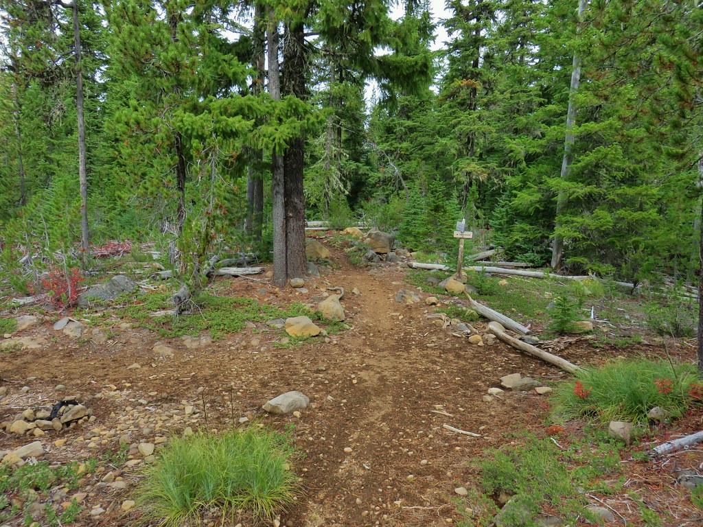
 The trail was actually the fainter track to the left leading to the bridge, but that wasn’t obvious until we reached the trees.
 A lone yarrow.
After cresting the ridge the trail dropped to a dry crossing of the Clackamas River.

Approximately two miles from the Fish Lake Trail we found ourselves passing back under the power lines.

Another mile of fairly level trail brought us to Triangle Lake.

After passing the lake and horse camp we quickly found ourselves crossing Skyline Road again.
We were really interested in seeing where we were going to meet up with the trail from that morning. Our answer came in less than 100 yards when the clear trail we were on arrived at a junction. A small tree was lying across the trail but the tread was rather obvious. We decided we must have been focused on the hill that was just beyond the junction and not looking at that side of the trail because it was hard to miss.
 Approaching the junction.
 Quite the camouflage isn’t it?
We turned right climbing the little hill, for the second time that day, and in a tenth of a mile were back at the Pacific Crest Trail. This time we turned left following the Jude Lake pointer.
The PCT entered the Warm Springs Reservation before arriving at the Russ Lake Trail in a third of a mile.

Here we turned right on the Russ Lake Trail (which was not signed).
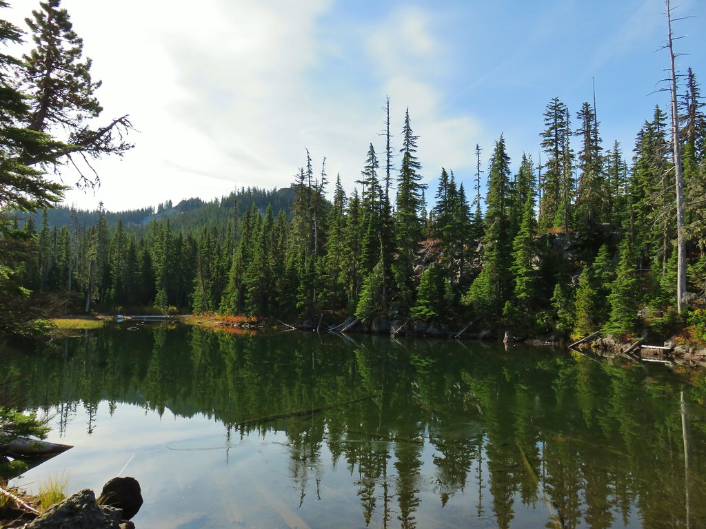
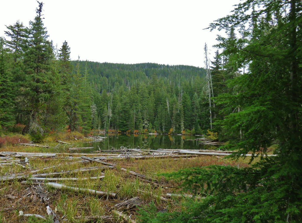
The trail passed a small pond after a tenth of a mile and the southern end of Jude Lake after two tenths before arriving at Russ Lake a little of a third of a mile from the junction. (Please note that fishing is not allowed on the Reservation without a permit.)
 Jude Lake
 Jude Lake
 Jude Lake
 Russ Lake

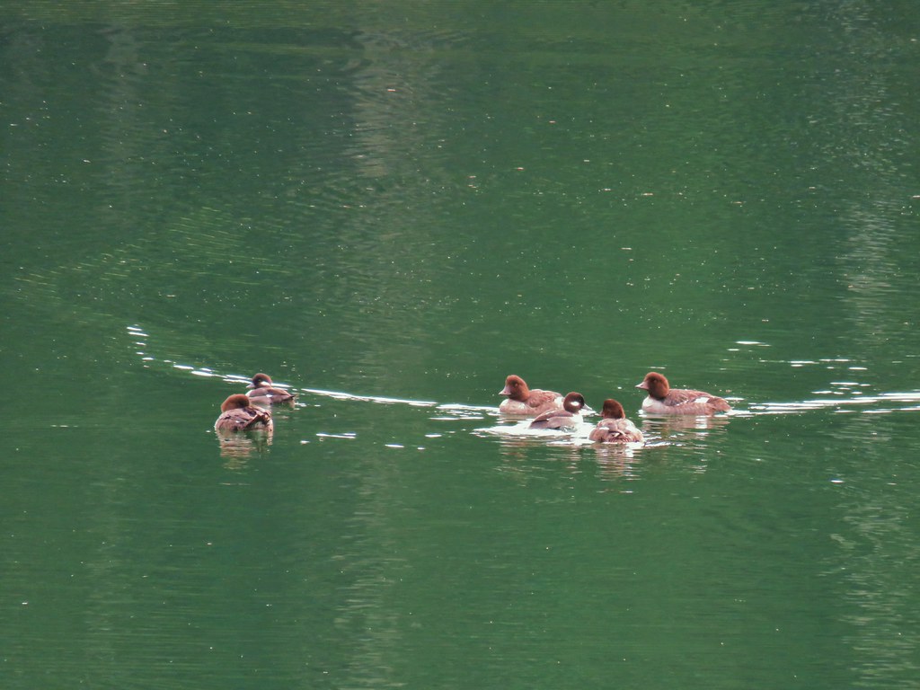
We watched the ducks on Russ Lake for a bit before heading back. It wasn’t until we were passing Jude Lake again that we actually realized that it was Jude Lake which allowed us to skip a short out and back north on the PCT to see the other side of that lake. Having seen Jude Lake we stayed on the Russ Lake Trail when we got back to the PCT junction and in a tenth of a mile turned right on a short unsiged spur trail to Brook Lake.

From Book Lake it was another .2 miles to the Lodgepole Trail and about the same back to Olallie Meadows.


We were anticipating a 13.2 mile loop (per Reeder) but a little extra exploring, missing the Gifford Lakes Trail, and screwing up the route to begin with we ended our day just over 14 miles. It turned out to be a really nice day (after our hands warmed up) with a lot of nice scenery. We only ran into a single pair of backpackers during the hike although there were a number of vehicles on Skyline Road both in the morning and on our drive out. The Olallie Lake Scenic Area is definately a great place for late Summer/Fall hiking. Happy Trails!
Flickr: Lodgepole Loop

2 replies on “Lodgepole Loop – 10/12/2019”
Looks like a nice outing. Very soon it will be a snowshoe-only trip.
[…] We had detoured to Lower Lake prior to the fire during our Lodgepole Loop hike in 2019 (post). […]