We knew which hikes we wanted to do during our stay in Lakeview but the order of the hikes was up in the air due to the chance of some mid-week thunderstorms. Our hikes were somewhat spread out which allowed us to keep an eye on the forecasts for each one and attempt to optimize our experience. Based on what we had seen Sunday night after arriving in Lakeview we decided to make Crooked Creek our outing for Monday. This was the closest hike to Lakeview so it gave us a bit of a break on driving too.
For the hike we started at the Mill Trailhead.

Like our previous hike at Winter Ridge this hike followed the Fremont National Recreation Trail. We had expected to have to find some rocks or a downed tree to get across Crooked Creek at the trailhead. The trailhead used to be another 2.5 miles further along the road but floods washed it out. We were happy to find a footbridge in place across the creek.

Beyond this initial crossing the map in our guidebook showed the trail following the old roadbed on the left side of the creek to the original trailhead so we were surprised when we came to a second crossing just .2 miles from the trailhead.
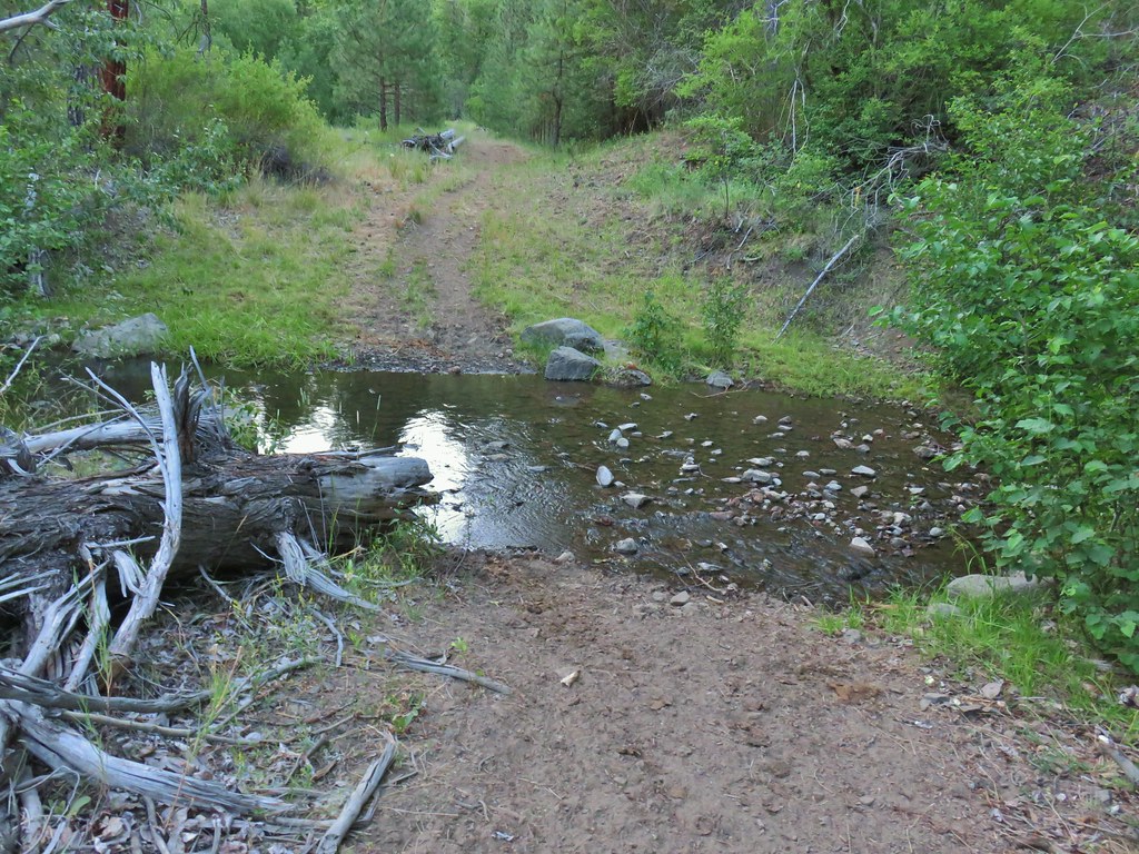
In another .2 miles we were once again forced to find rocks to hop across the creek on.
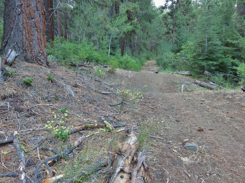
Once we had made it across the creek again we noticed a trail joining on the left.
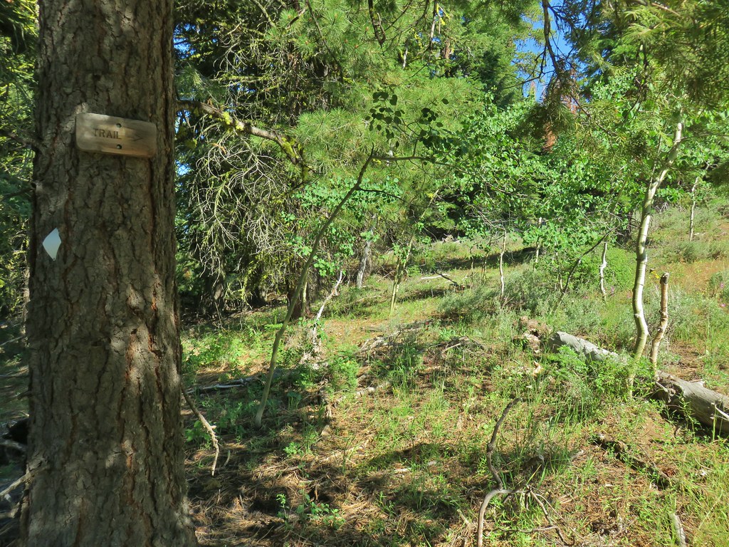
 The trail joining the road after the 3rd creek crossing (picture is from the afternoon).
As it turned out we had walked past a side trail to the left just before reaching the second creek crossing without noticing it. We discovered this when we followed the trail on the way back to the trailhead.
 Downed post marking the trail to avoid the creek crossings.
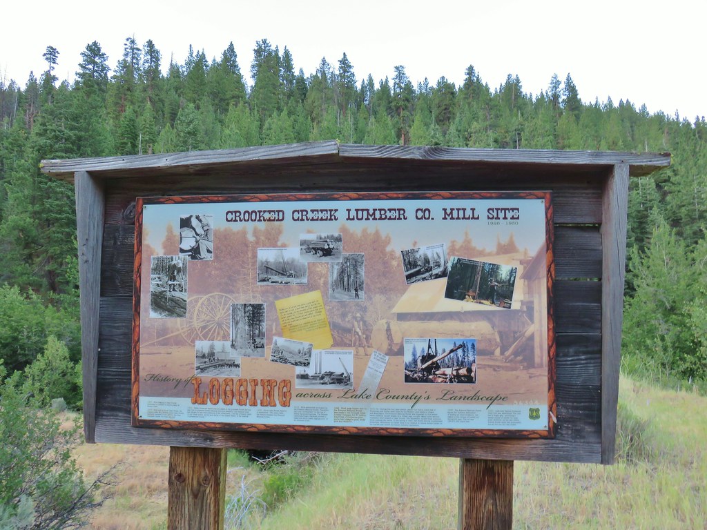
We continued on the road arriving in another .2 miles at a large sign announcing the site of a former sawmill.

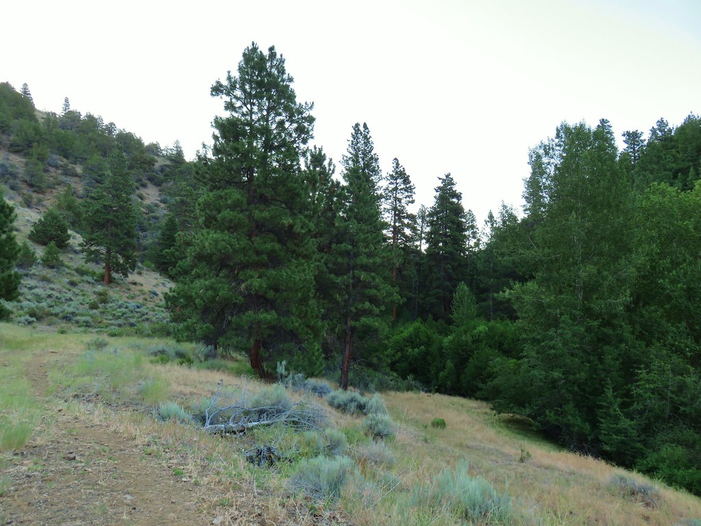
We continued on noting the vast stark difference in the trees and vegetation on either side of Crooked Creek. The hills on the north side of the creek were mostly juniper trees and sagebrush while pine and fir trees grew on the south side.
 A short stretch where both sides looked similar.
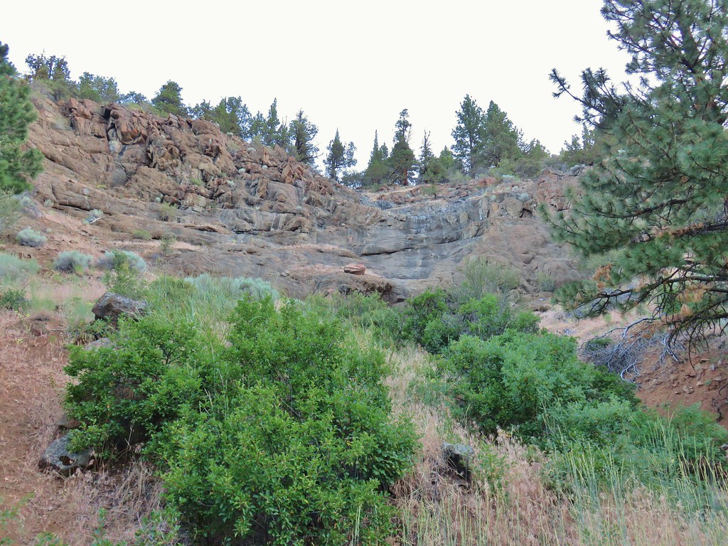 Dry waterfall
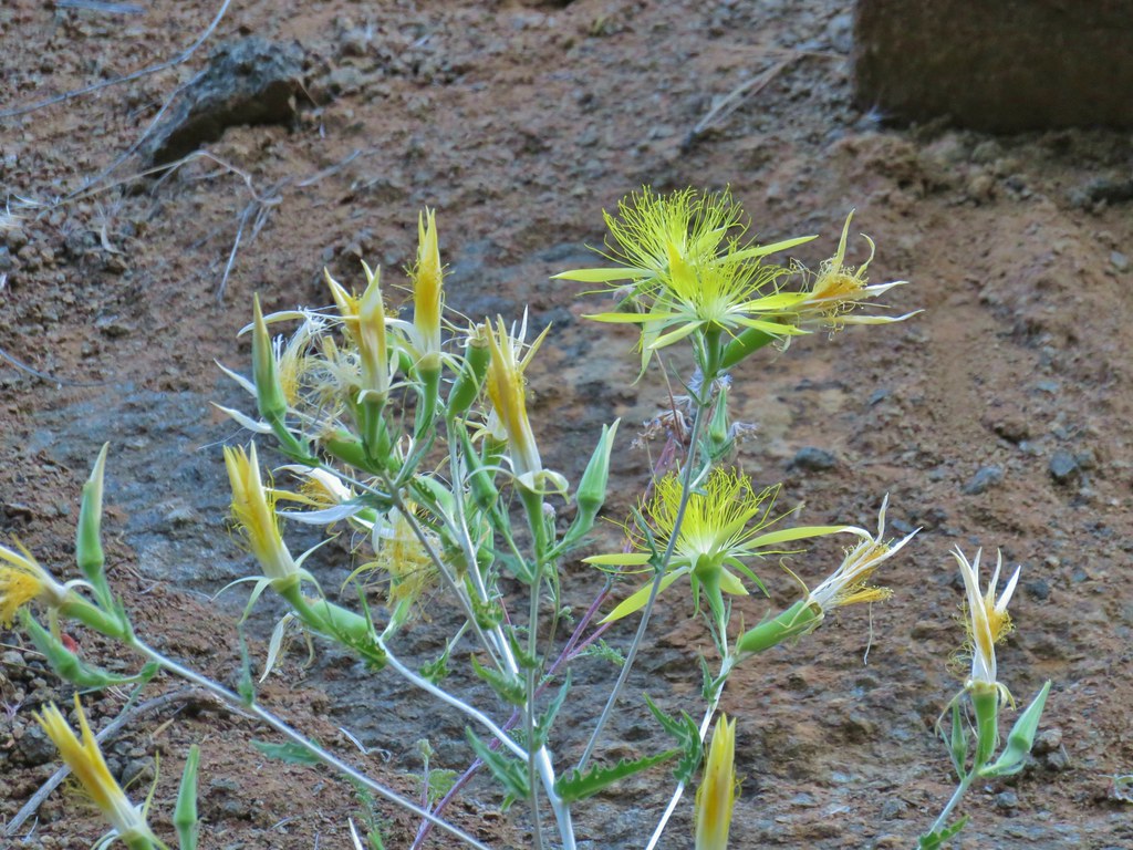 Smooth stemmed blazing star
As we gained some elevation we started seeing more wildflowers.
 Oregon sunshine
 Fireweed
 Butterfly sleeping on yarrow
 Sticky purple geranium
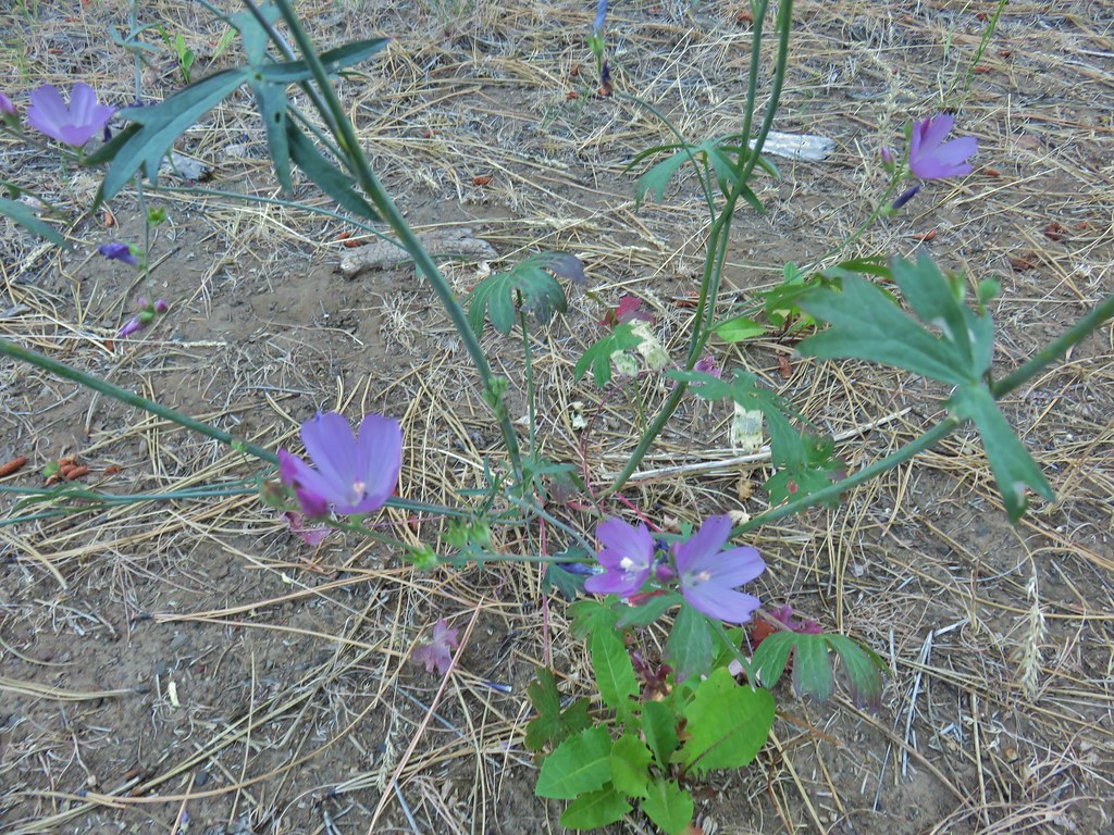 A mallow
 Balsamroot
 Rough eyelashweed
 Various wildflowers along the road bed.
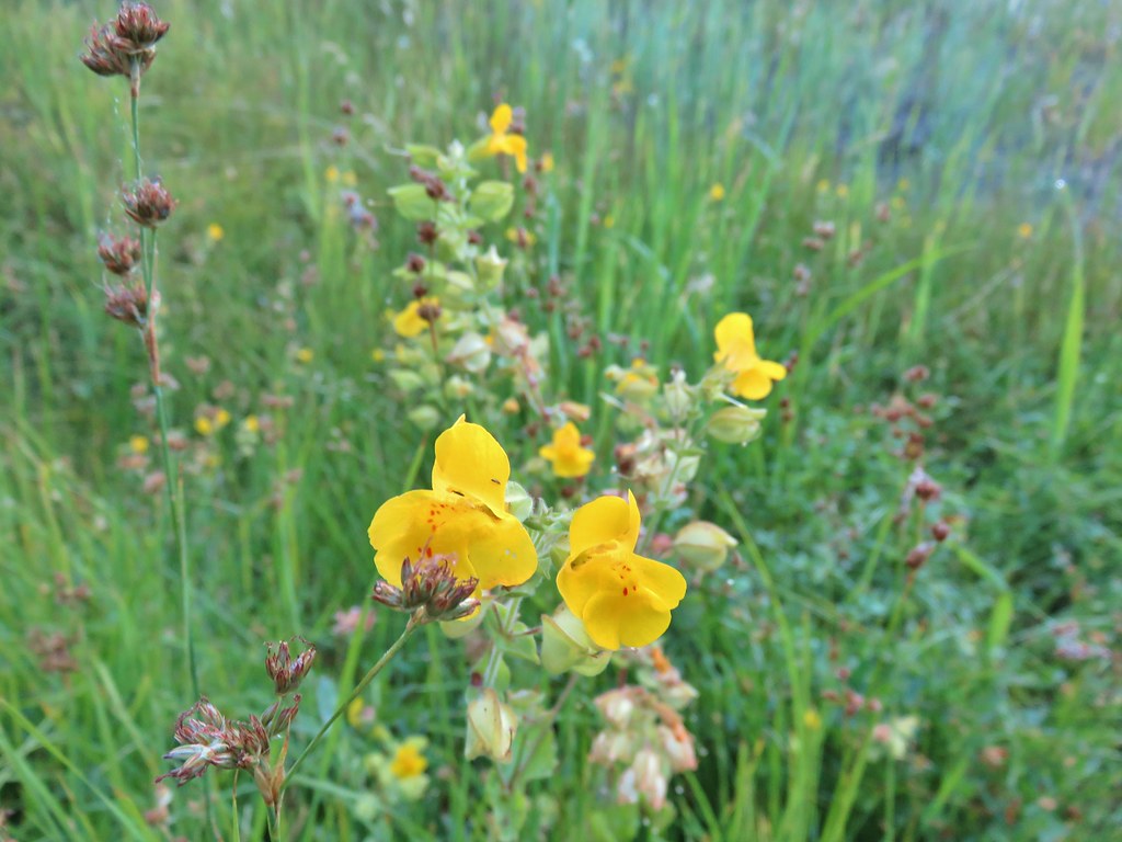 Monkeyflower
 White triteleia
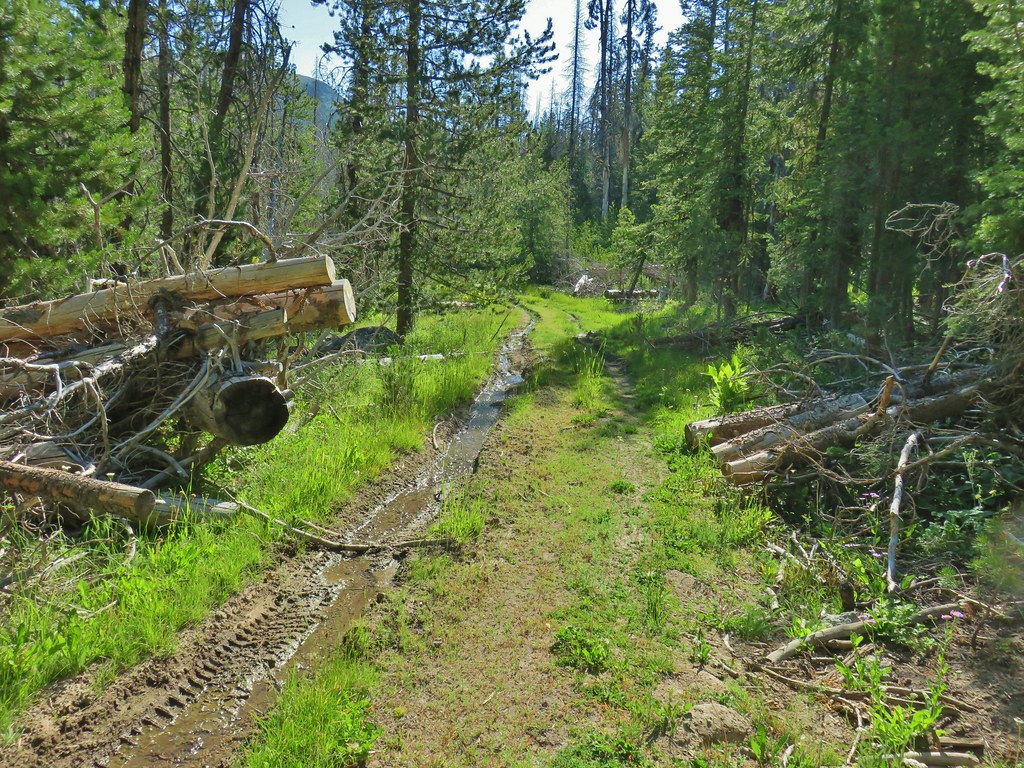
Things got a bit confusing again when we arrived at the old trailhead. Our guidebook showed the Fremont Trail beginning here on the left side of Crooked Creek but the only thing that looked at all like a trail was this.

We tried following it and wound up next to a pile of tree clippings from what appeared to be recent thinning operations.

We did some searching along the hillside above the creek thinking that we might have missed the trail heading further up the hillside.
 Piles from thinning while we were searching for the trail.
After almost a quarter mile along the hillside we found the trail coming steeply uphill from Crooked Creek. To add to the confusion here there were National Recreation Trail markers on a number of trees in the area, some of which were no where near the trail.
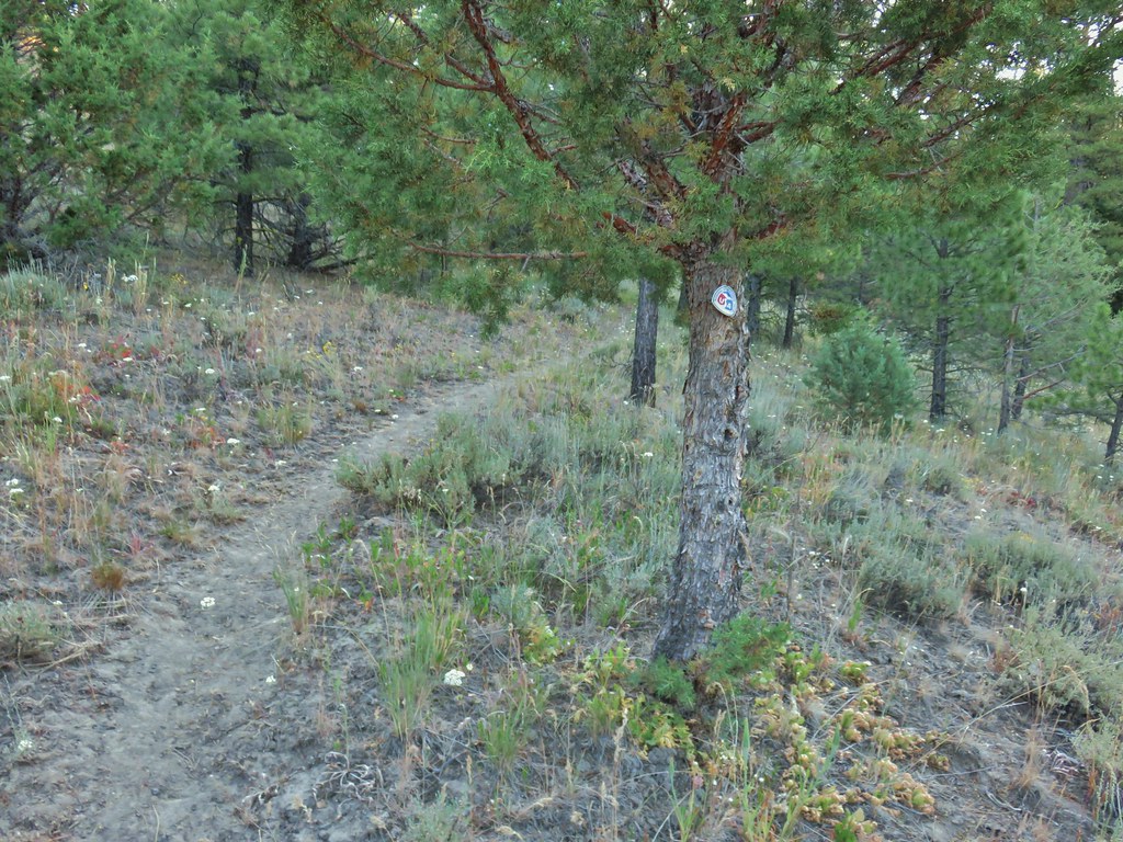 Marker on a juniper heading away from Crooked Creek.
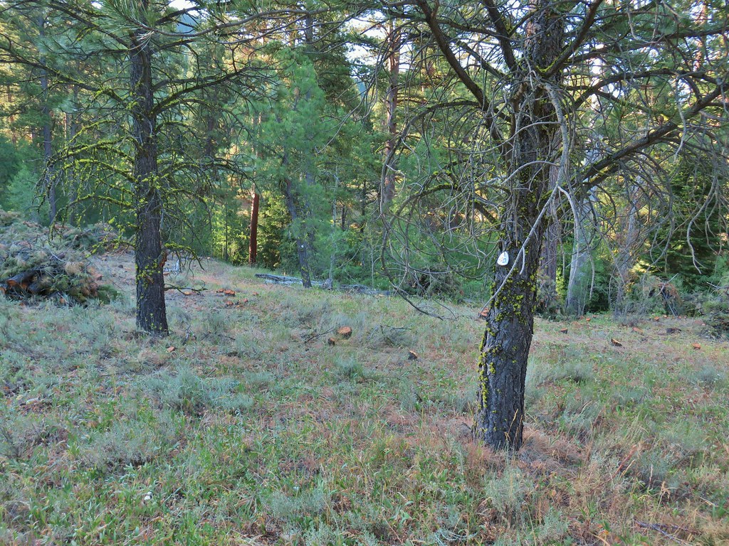 Markers on seemingly random trees.
In any event we had found the trail again. On our return trip we would follow the trail down to Crooked Creek which we crossed to reach a road bed. We then turned right on that roadbed, crossed Big Cove Creek and then Crooked Creek again to arrive at the old trailhead.
 Big Cove Creek crossing.
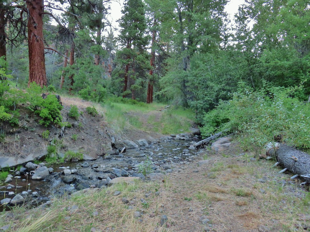
 Crooked Creek crossing near the old trailhead.
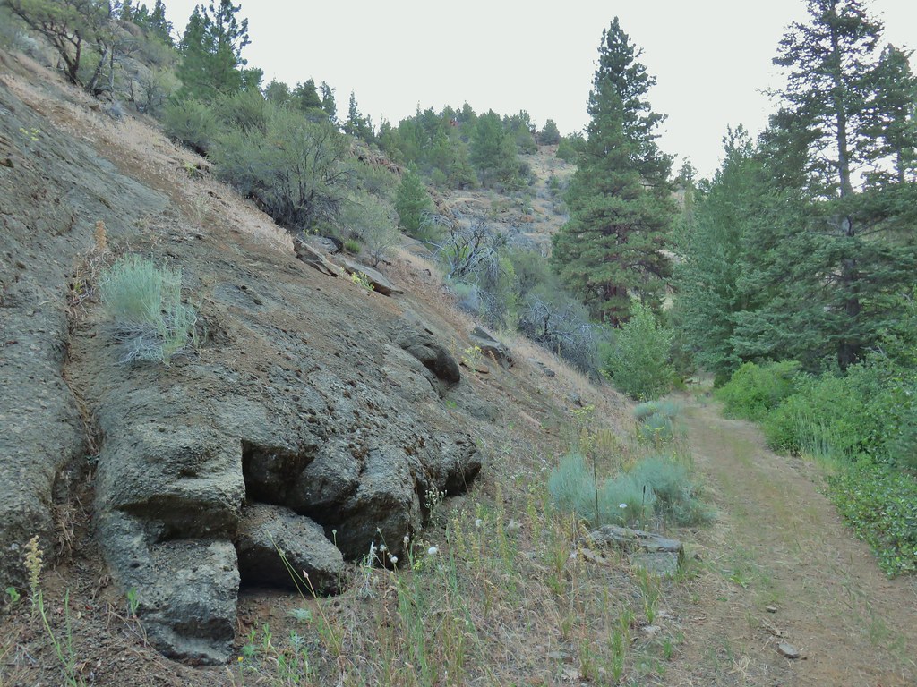
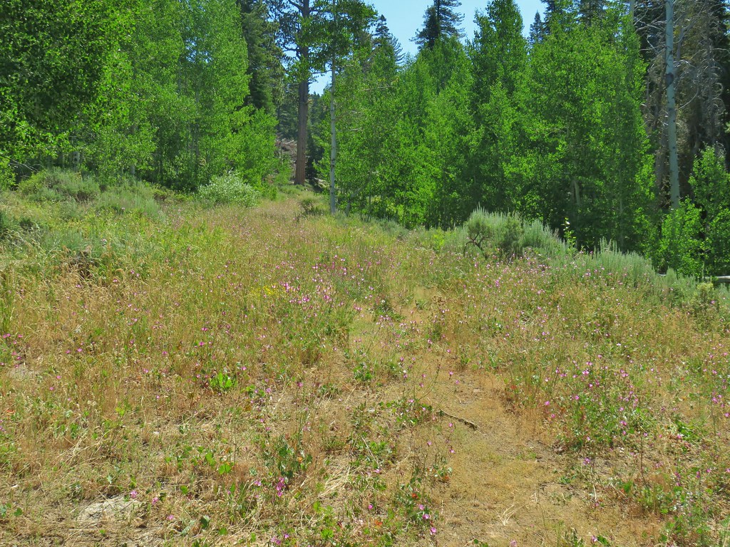
The Fremont Trail passed through a series of open hillsides which were pretty dry at first but became greener as we climbed up the canyon.

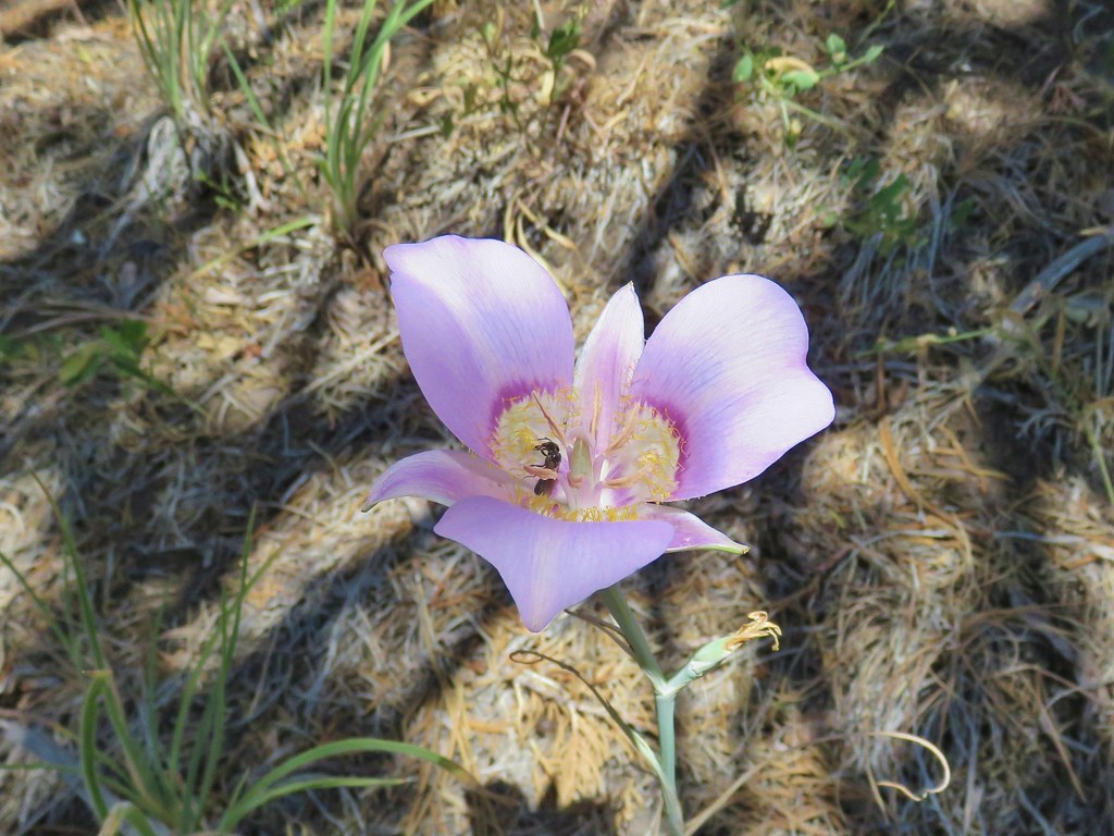
 Sagebrush mariposa lily

 Checker mallows
 A wetter meadow
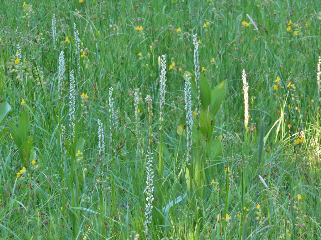 Bog orchids
The trail also spent some time in the forest finally leaving the juniper and sagebrush behind.


 Blurry doe through the trees.
Just over 5 miles along we reached an easy crossing of the North Fork Crooked Creek.

The trail then rounded a ridge end and followed the South Fork Crooked Creek for .6 miles before crossing it just below a series of meadows.


 White water buttercups
The trail skirted the meadows for the next mile and a half which would have been nice if not for the mosquitoes that the meadows were home to. They weren’t anywhere near the worst we’ve seen but we couldn’t stop for long. We eventually were forced to break out the spray but not before Heather had collected a good number of bites (I think I only got one, they like her WAY better).

Just under a mile along this stretch the trail crossed an old road bed that functions as the Crane Mountain Trail (and a mosquito hatching ground).

We did stop for a moment at a second crossing of the creek to admire some pink monkeyflower.


At the end of the meadows we arrived at FR 3615 and the South Fork Crooked Creek Trailhead
 FR 3615
 The trailhead.
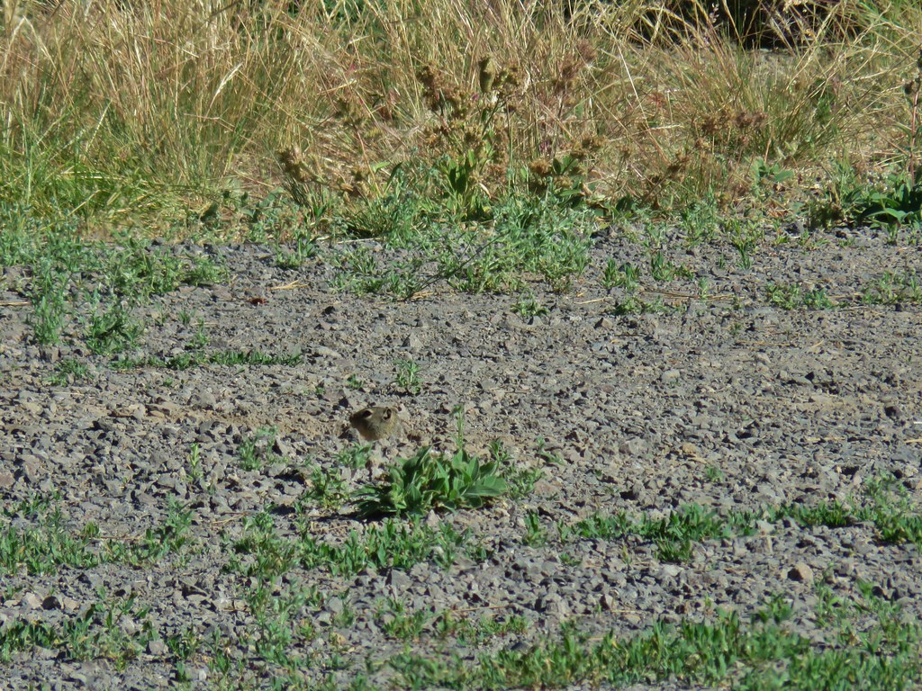 Trailhead host
We stopped at the trailhead to decide our next course of action. It was already warm and a break sounded good, but there wasn’t really a spot for one at the trailhead. Heading back down the trail meant going through the mosquito gauntlet again and taking a break along that stretch was out. A third option was to continue uphill .7 miles from the trailhead following a roadbed to Fence Pass at an elevation of 7440′. Sullivan described it as a sagebrush covered hillside with some of the best views of the Drake Peak area. We figured that there wouldn’t be any mosquitoes up there so we headed up a dirt road arriving at a split that wasn’t shown on the guidebook map.

After consulting our Garmins we discovered that the checkermallow covered roadbed to the right ended shortly near a spring feeding the South Fork Crooked Creek.
We turned left to stay on the correct roadbed which headed steeply uphill past the continuation of the Fremont Trail.
 Fremont Trail on the left.
The road headed for Twelvemile Peak before veering to the south of that peak to the pass. The hillside was mostly sagebrush as described with a fair number of wildflowers mixed in.

 Oregon sunshine
 Grand collomia
 Yarrow
 A paintbrush
 Checkermallow and paintbrush
 What had been a Brown’s peony
The views were also as described with Twelvemile Peak on our left (north), Light Peak and Drake Peak on our right and our route up behind us. We made it to Fence Pass where a gentle breeze helped cool us off and the lack of mosquitoes allowed us to take a nice break.

 Light Peak from Fence Pass
 Drake Peak and Light Peak
 The Drake Peak Lookout which is on Light Peak
 Twelvemile Peak
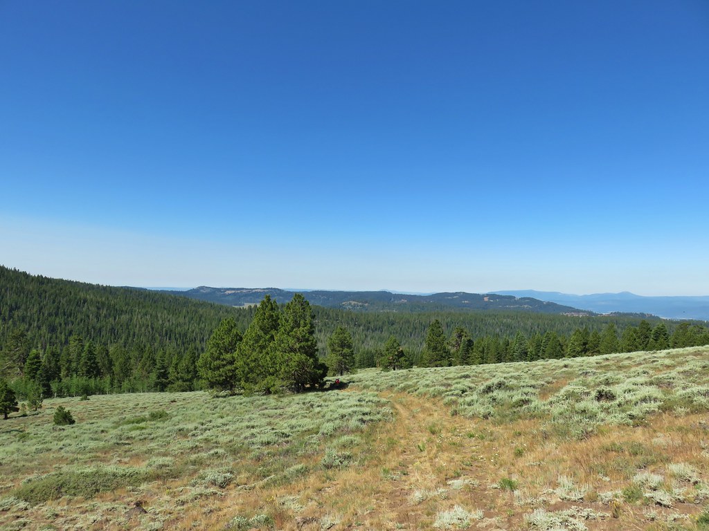 Looking back over our route up.
 Mt. Shasta off to the SW
 Hart Mountain to the SE.
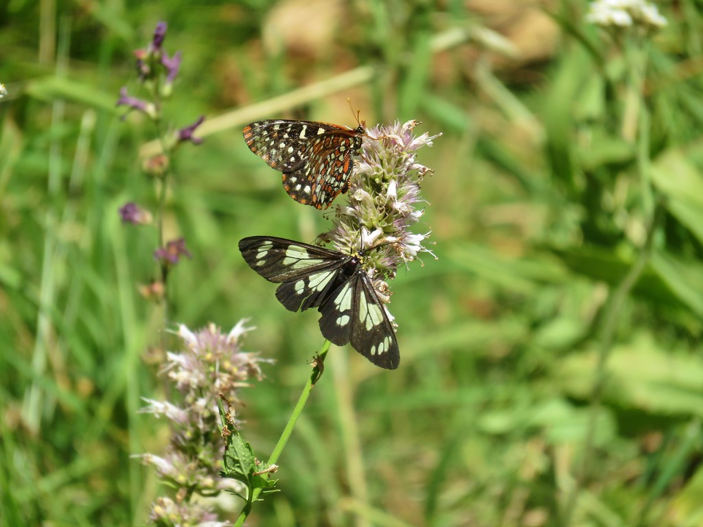
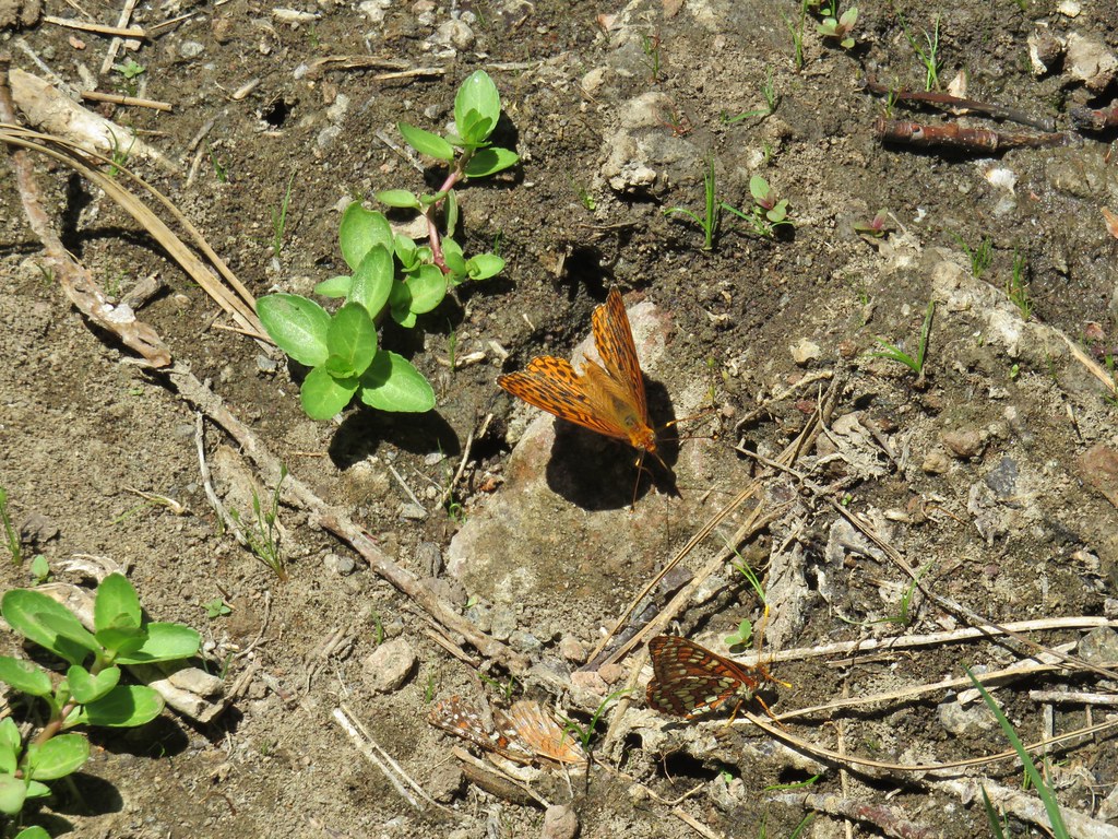
After a nice break we headed back. The mosquitoes weren’t as noticeable on the return trip but the butterflies (and police car moths) were. In addition the sagebrush mariposa lilies had opened up allowing us to see them better.


It was another 90+ degree day back at the trailhead and after 15.5 miles and a little over 2500′ of elevation gain it didn’t feel all that great, but the hike had been enjoyable. We headed back to Lakeview and checked the weather again to see what had changed. Based on the ever shifting forecasts we decided to tweak our plans a bit which turned out to be for the best in the long run. For Tuesday we decided to do Flook Lake and Hart Mountain Hot Springs to Warner Peak with an option to also do Petroglyph Lake if the road was open. If it was closed as we suspected we would do that one with DeGarmo Canyon later in the week. Happy Trails!
Flickr: Crooked Creek

3 replies on “Crooked Creek – 07/20/2020”
We’re glad you two are taking the initiative to work through all of Sullivan’s hikes so we can better pick & choose which one’s we might like to do someday. It seems like you run into old & vague trails at lot of the time. We’re guessing that out of the hundreds of hikes he has in his various books, only some (100 or less?) or so get hiked (and maintained) with any regularity. Sad, but likely true. 😦 I did suggest to The LovedOne that, like you, we start our hikes at 5AM to get a jump on the day. She just laughed & laughed… 😉
😆 yeah we don’t get many takers when we ask others if they want to join. I don’t know if it’s the hikes we’re picking this year, or if it’s a result of lack of funding/Covid but we seem to encountering more trails in need of maintenance this year compared to others. There just aren’t enough resources to take care of them all I guess.
[…] most part they had been a non-issue. They were a bit of a nuisance along South Fork Crooked Creek (post) and behind Barnhardi Cabin (post) but that had been it. I had received one bite (I think) while […]