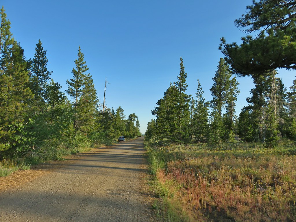
After a night in Bend we continued on our way to Lakeview making a stop along the way to hike the Fremont Trail at Winter Ridge to do the first of seven planned featured hikes from Sullivan’s “100 Hikes/Travel Guide Eastern Oregon” book.
The Fremont Trail traverses the Fremont National Forest at a distance of almost 150 miles. We had hiked a short section of the Fremont Trail on our visits to Hager Mountain (2013, 2014). For this hike we drove Highway 31 south from Highway 97 for 87 miles turning right on Forest Road 29 at milepost 87. FR 29 climbed from Summer Lake 9.5 miles to Government Harvey Pass. Our excitement started when a bobcat ran across the road right in front of the car. This was one of the animals left on our “yet to see” list. Granted it was from the car but it was on the way to a hike so we still sort of count it. When the road leveled out on Winter ridge at the pass we turned right at a “T” junction onto FR 2901. We parked along the shoulder of this road after a tenth of a mile near a sign on the right marking the crossing of the Fremont Trail.

Some cows up the road were watching us closely as we prepared to set off on the trail.

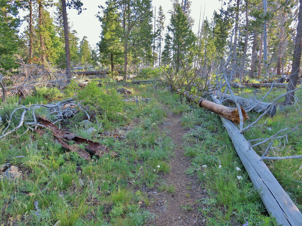
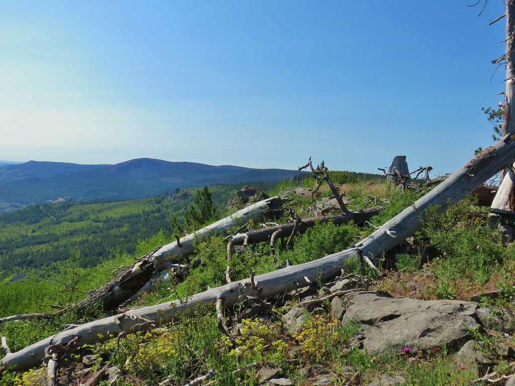
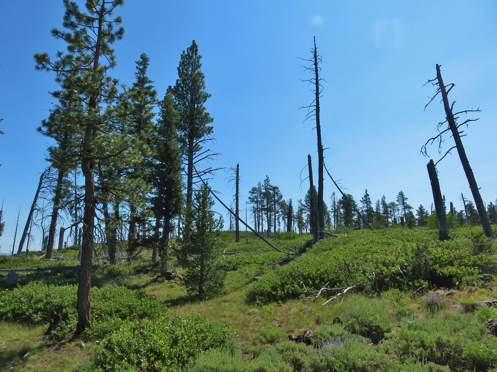
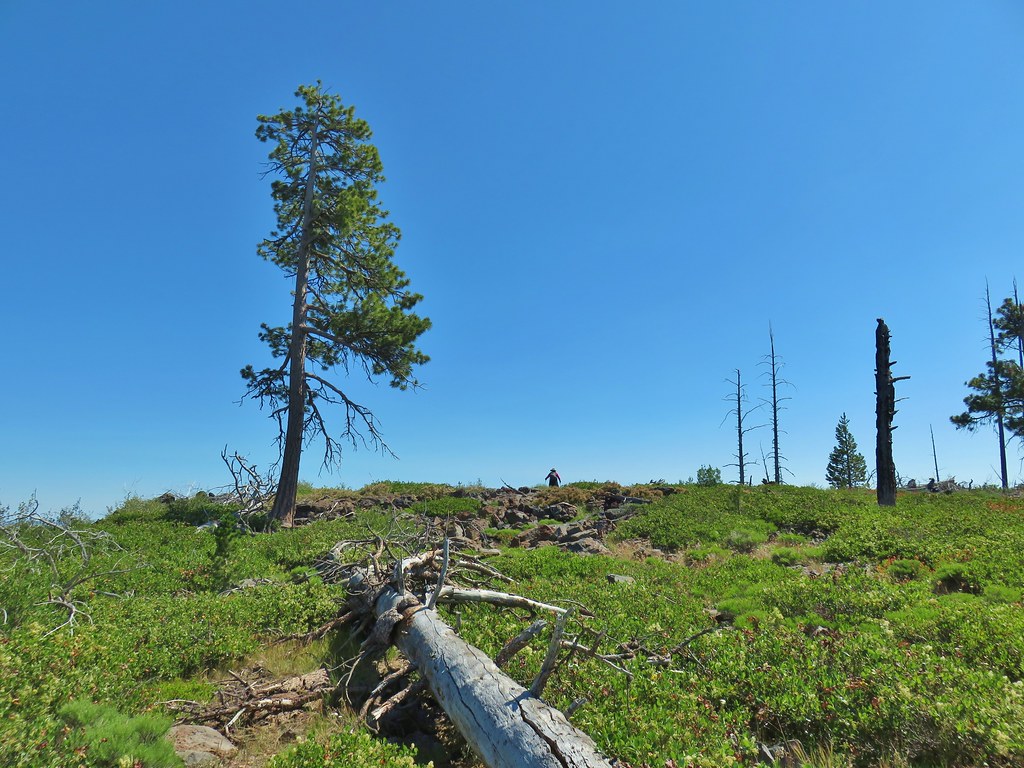
There was a bit of blowdown along the early portion of the trail but nothing too difficult to navigate.

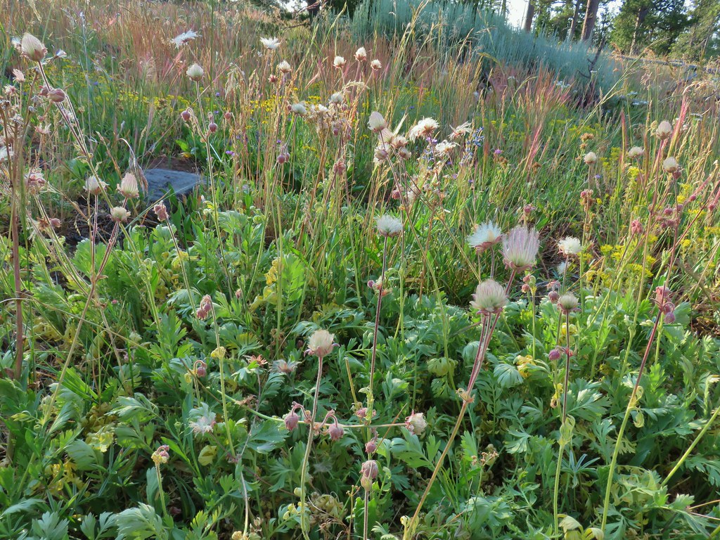
Sullivan indicates that the wildflowers are best here in June but that is also when the mosquitos are at their worst. We were pleasantly surprised to find a number of wildflowers blooming and mosquitos were not an issue.
 Prairie smoke (old man’s whiskers)
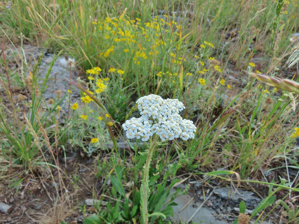 Yarrow and Oregon sunshine
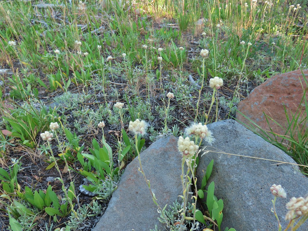 Pussytoes starting to go to seed.
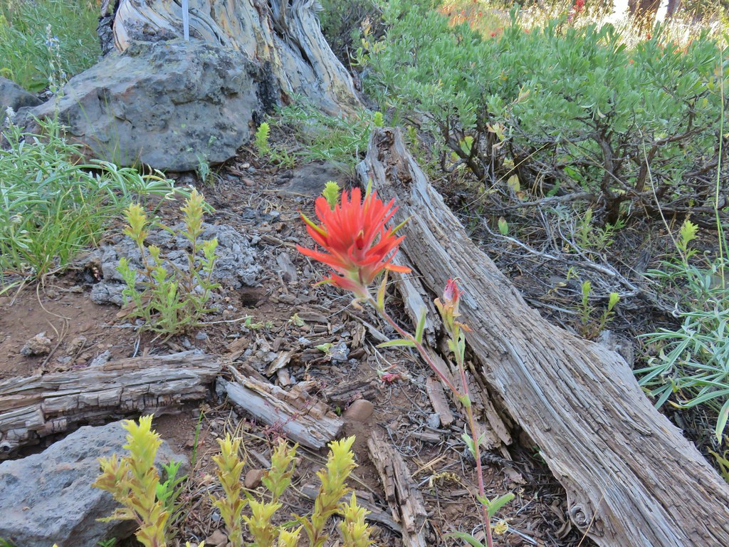 Paintbrushes
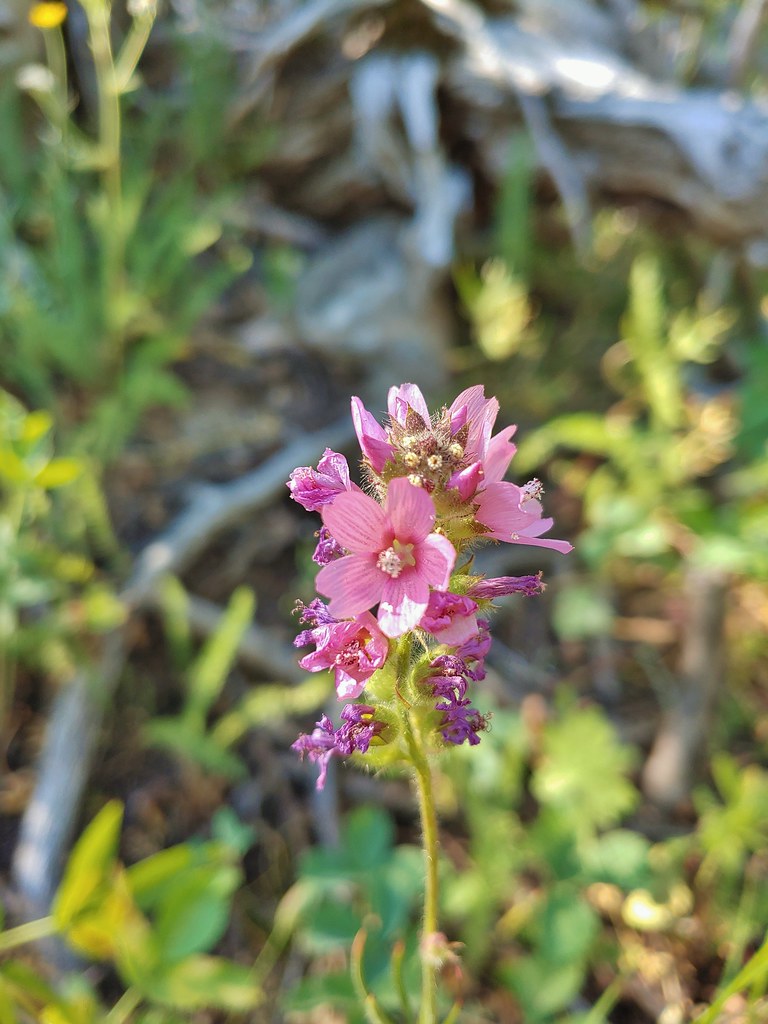
 Scarlet gilia
 Lupine
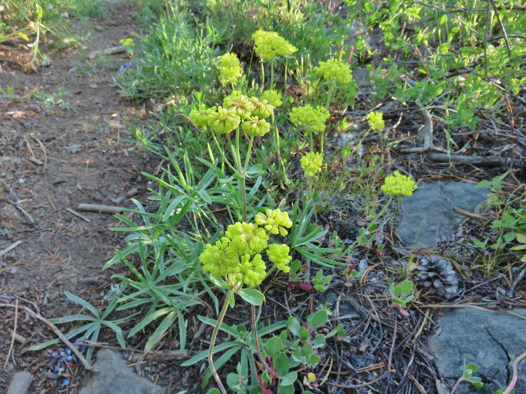 Buckwheat
 Orange agoseris
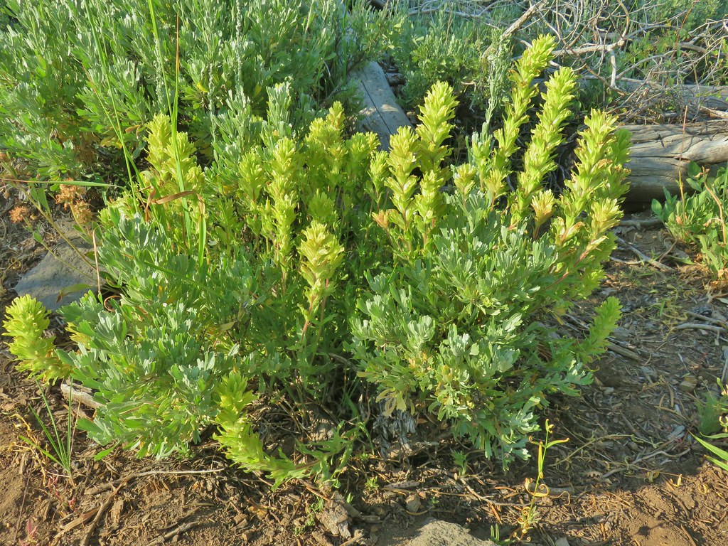 Paintbrush
 Sticky purple geranium
 Sticky sandwort
 Nuttall’s linanthus
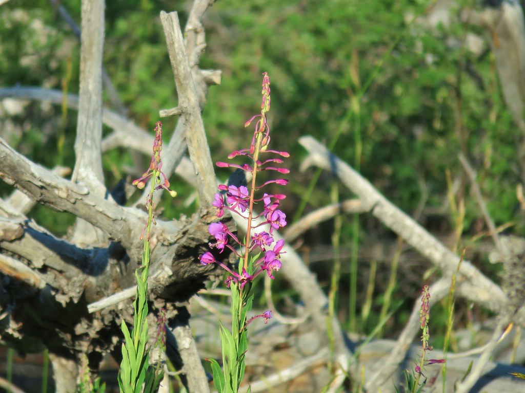 Fireweed
 Hyssop
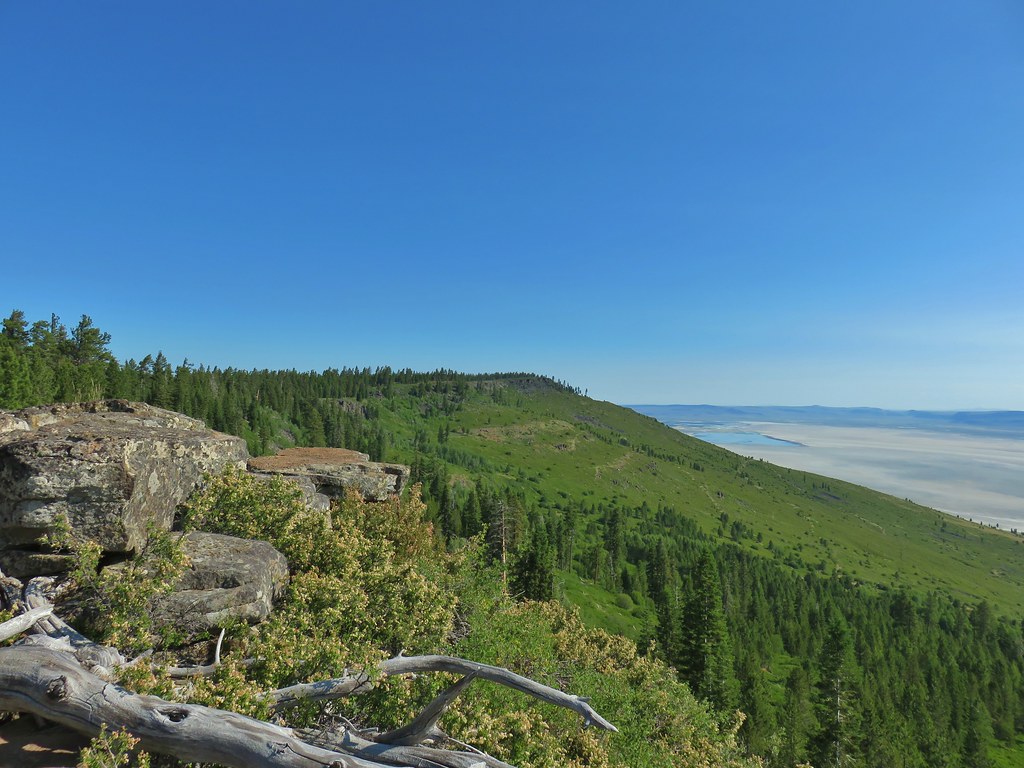
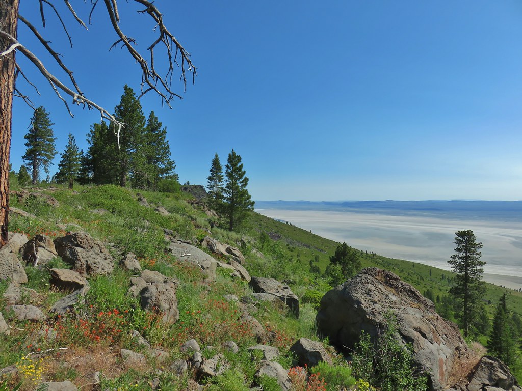
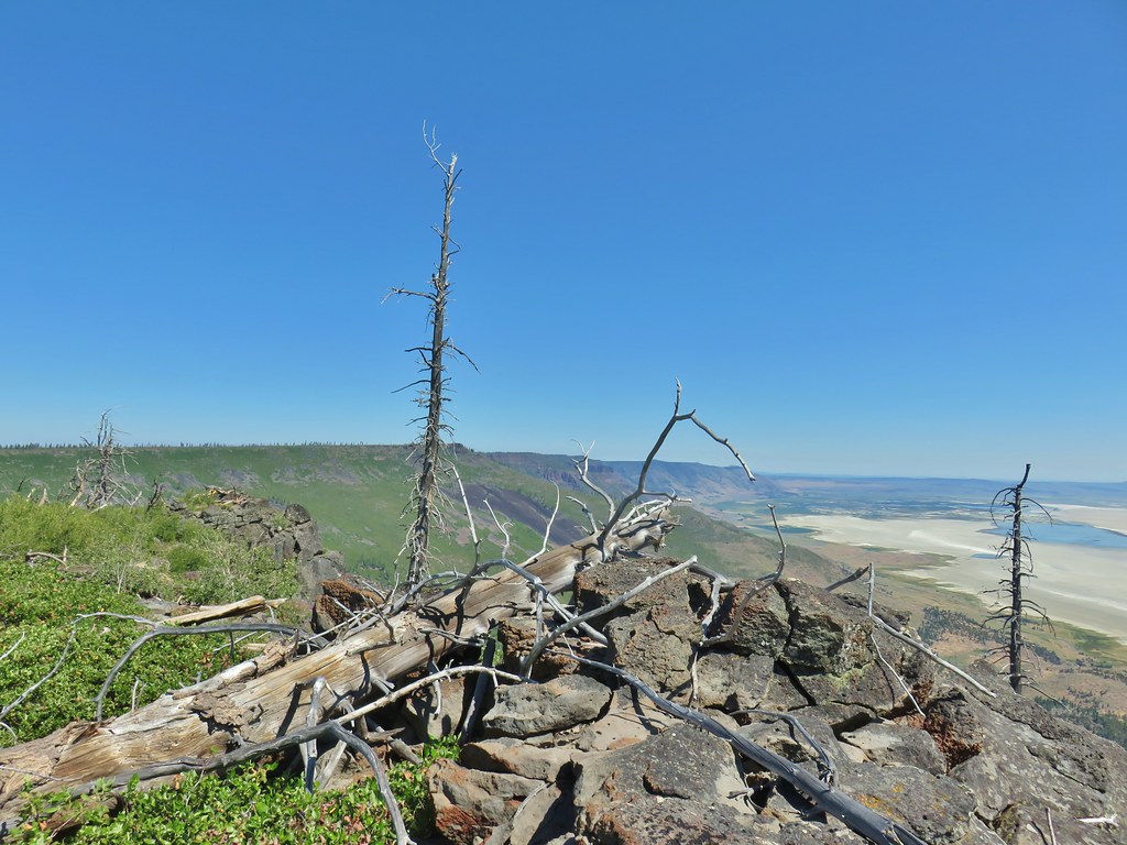
The trail spent a good deal of time close enough to the edge of Winter Ridge to allow for short detours to check out the scenery below.
 Golden mantled ground squirrel also enjoying the views.


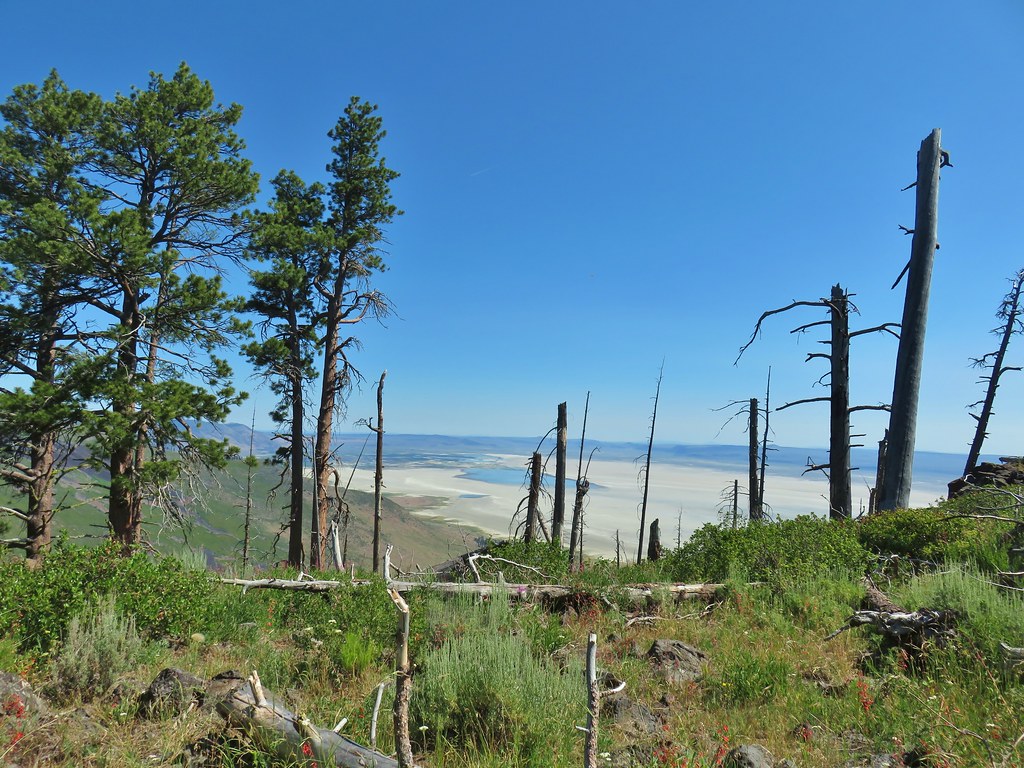
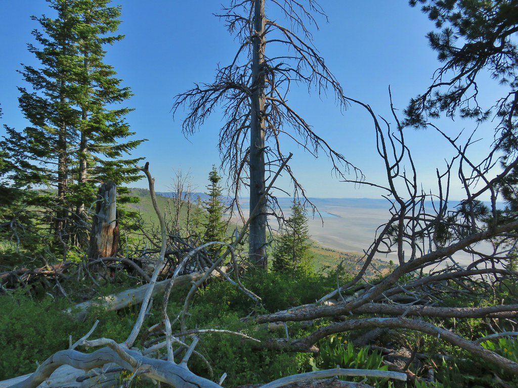 Looking down at Summer Lake
 FR 29 coming up the hillside to the right.
In addition to the views and flowers there was some wildlife, but no bobcats, along the way.
 Woodpecker
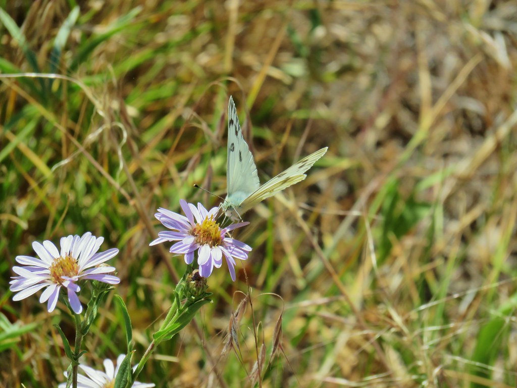
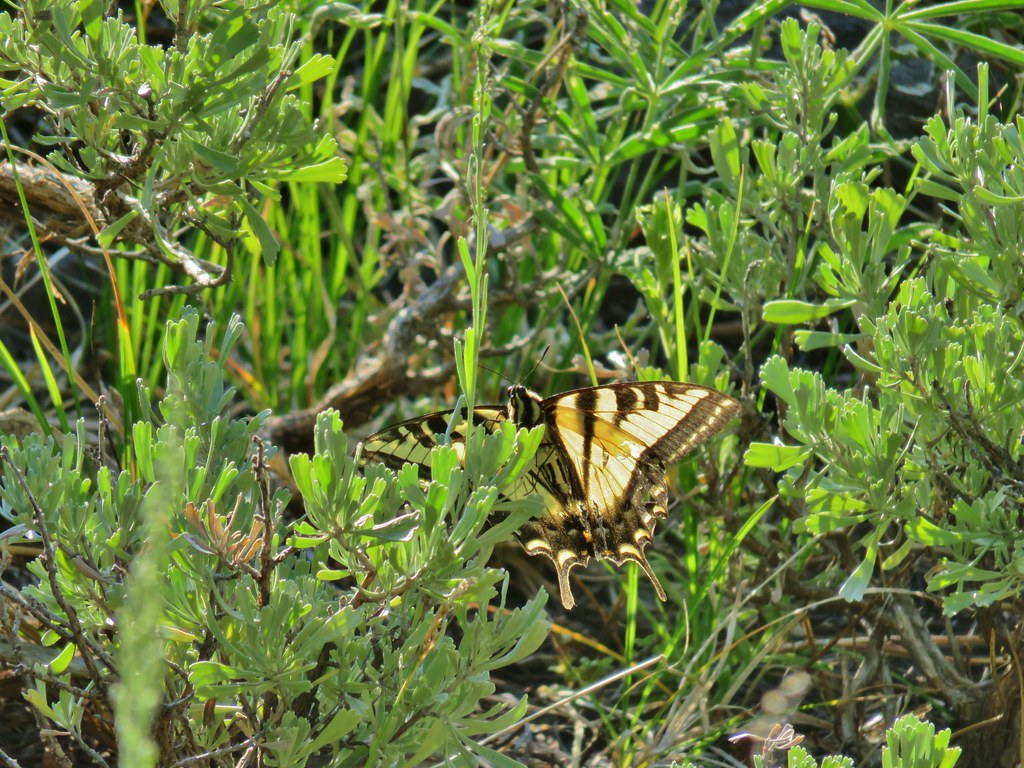 Swallowtail
 Fritillary butterfly
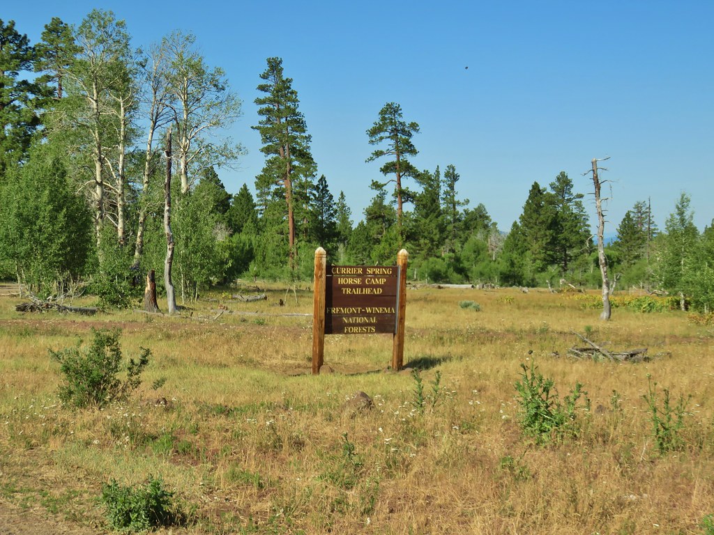
Just under 2.5 miles from FR 2901 we arrived at junction with a side trail to Currier Springs.

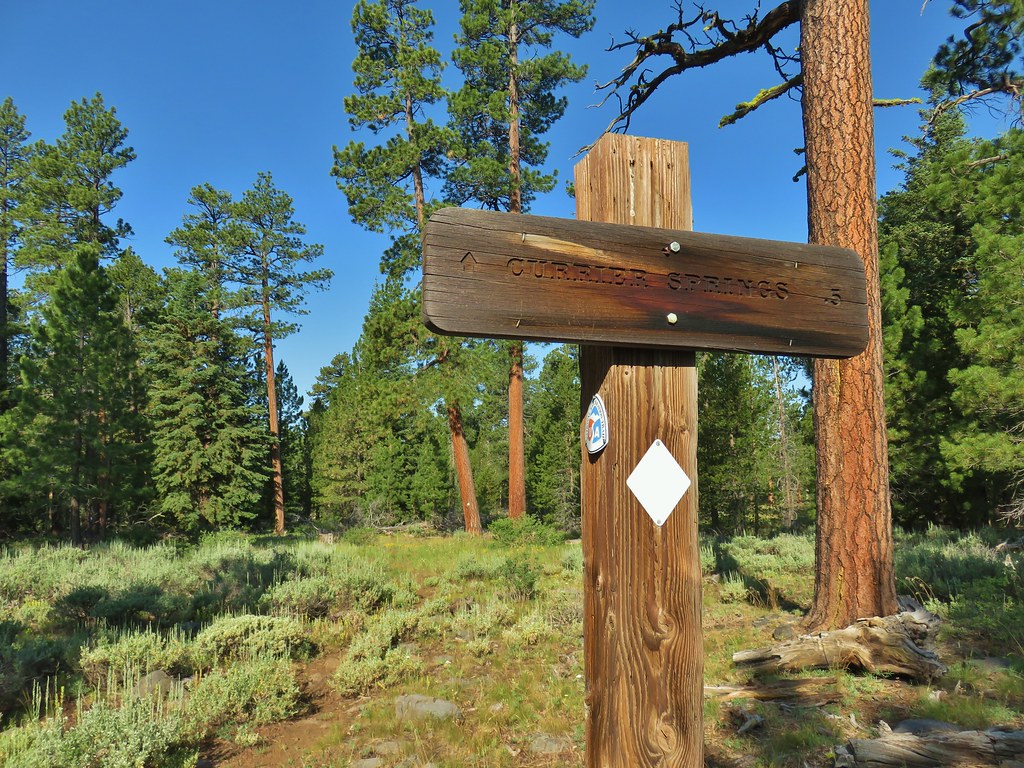
We turned down this sometimes faint trail which led slightly downhill for .3 miles to the Currier Springs Horse Camp Trailhead on FR 3221.
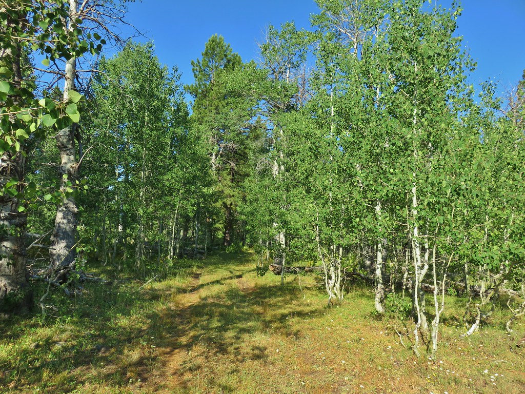 Passing through a grove of quaking aspen.
 California corn lily
 California corn lily
 Chipmunk
 More cows at the horse camp.
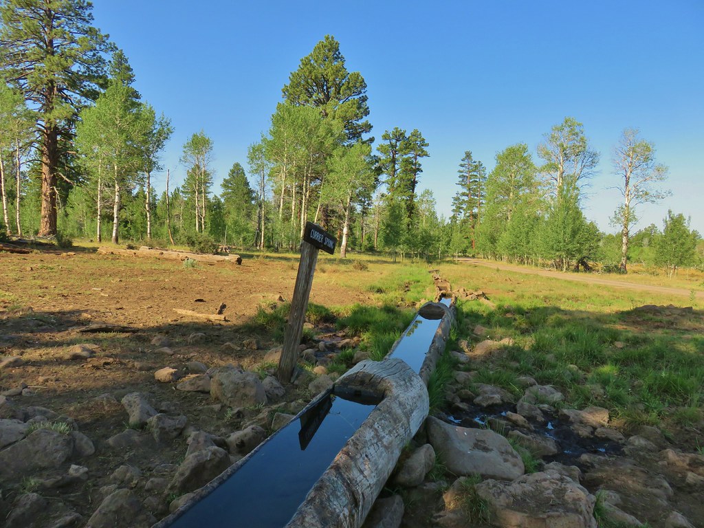
We walked past the large sign for the horse camp to the spring on the left side of the road.


 Brewer’s blackbird
Near the spring we encountered some musk thistle which as far as thistles go was pretty impressive but unfortunately not native.

In the meadows nearby were some native wildlfowers though.

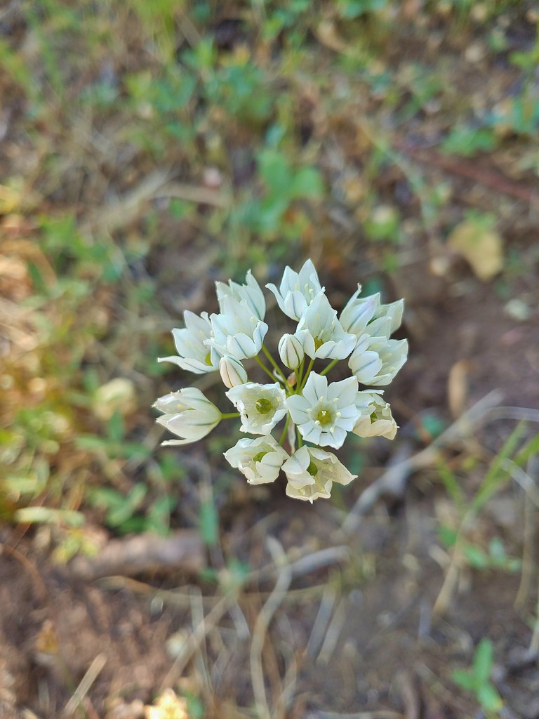 White triteleia
 A checkermallow
We returned to the Fremont Trail and continued north past more viewpoints for 1.4 more miles to a sign for another spring, Mud Springs. Here there was no obvious trail and we did not attempt to visit the spring.
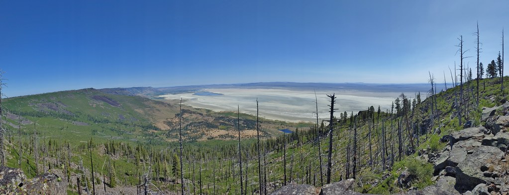
 A view north along the ridge.
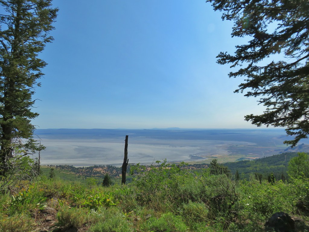 Looking NE from Winter Ridge.
 Grand collomia
 Hummingbird
 Rosy pussytoes
 Scouler’s woollyweed (maybe)
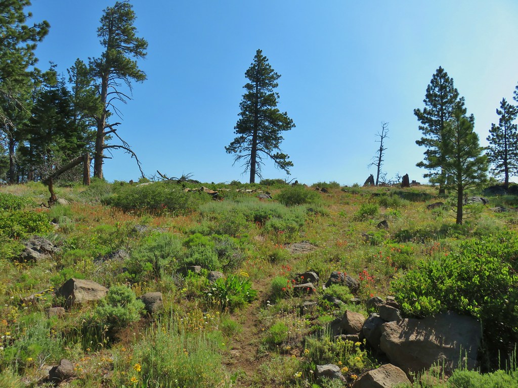 Wildflowers along the Fremont Trail
 Another viewpoint
 Looking south along the ridge.
 More musk thistles.
 Fremont Trail along Winter Ridge.
 Buck watching us through the trees.
 The buck heading off.
 Sign for Mud Springs.
 Western tanager near the junction.
Here Sullivan’s description no longer matched what we were seeing. We had expected the Fremont Trail to continue faintly along the ridge to a point where Sullivan described a “Landside Viewpoint”. Our GPS maps showed the trail following this alignment but not far beyond the Mud Springs sign the trail veered away from the ridge passing through snowbrush that was covering much of the hillside below the point.

 Snowbrush along the trail.
We stayed on the clear trail expecting it to eventually lead us up to the point, but instead after a half mile it turned away from the point heading downhill another quarter mile before reaching the rim of Winter Ridge well below the viewpoint which was to be our turnaround point.
 Where we wound up along the rim of the ridge.
 Looking up toward the viewpoint.
We decided to bushwhack our way up to the viewpoint and began a hot and tedious .7 mile cross country adventure. I stayed closer to the edge of the ridge which provided some decent views but became nearly impossible to navigate.
 I made it to this rock outcrop which wasn’t the viewpoint I was looking for.
 A second rocky viewpoint (with the first down the ridge a bit), still not the viewpoint I was looking for.
 Looking up the ridge from the second rock outcrop. The number of snags and thicker snowbrush caused me to abandon the ridge here and follow the line that Heather was taking just a bit in from the rim.
We eventually managed to reach the viewpiont.
 Looking north across the landslide to Summer Lake.
 Looking south
 Balsamroot near the viewpoint.
After taking a break we debated what route to take back. We weren’t keen on going back down the way we’d come up but we also weren’t certain what the conditions would be if we attempted to follow the rim back toward the Mud Springs junction. In the end we decided to use our GPS and aim for the closest point on our track from earlier when we passed below the viewpoint. This worked out well as it was only a little over a quarter of a mile back to the Fremont Trail and there were far less obstacles to navigate. We followed the Fremont Trail back to where it had veered away from the ridge and looked to see if we had missed something. There was no obvious trail tread but there may have been a cairn (or it might have just been rocks).

Regardless we had made it to the viewpoint so the hike had been a success. We returned the way we’d come, looking as always for wildlife and things we missed on the first pass. In this case we had missed a large number of Orobanche that we hadn’t noticed earlier.


 Becker’s white on subalpine fleabane.
 Slender cinquefoil
It was around 90 degrees by the time we got back to the car. This hike turned out to be a little longer and more difficult than we had expected due to the bushwhacking. My GPS read 11.3 miles instead of the 9.6 we had planned on. We drove into Lakeview where the temperature nearly hit triple digits. It promised to be an interesting week of hiking and this first hike let us know that it was going to be a challenging one as well. Happy Trails!
Flickr: Winter Ridge

3 replies on “Winter Ridge – 07/19/2020”
[…] The dike also provided a good view of Winter Ridge where we had started our Lakeview area hikes (post). […]
[…] seems to be some. We spotted a bobcat for the first time (from the car) on our way to Winter Ridge (post). Lake Abert and Summer Lake hosted a few species of birds that we hadn’t run across before. […]
[…] #82 Winter Ridge – Hiked 7/19/2020 […]