The tragic wildfires that claimed lives and wreaked havoc on several towns and communities had kept us home since Labor Day. Several forests and parks still remain closed but things have been slowly reopening and some much needed rain arrived to help slow the fires and clear the air. One of the forests that had reopened was the Clatsop State Forest between Portland and Seaside. Hike #12 in William L. Sullivan’s 4th edition “100 Hikes/Travel Guide Oregon Coast & Coast Range” consists of three short hikes to lakes in that forest. We had visited Soapstone Lake on a previous outing (post) With many forests and parks still closed due to the tragic wildfires that claimed lives and wreaked havoc on several towns it seemed like a perfect time to check out the other two lakes, Lost and Spruce Run. We also added nearby Bloom Lake whose trailhead along Highway 26 we’d driven by a number of times.
We began our morning at the Spruce Run Creek Trailhead at Henry Rierson Campground.

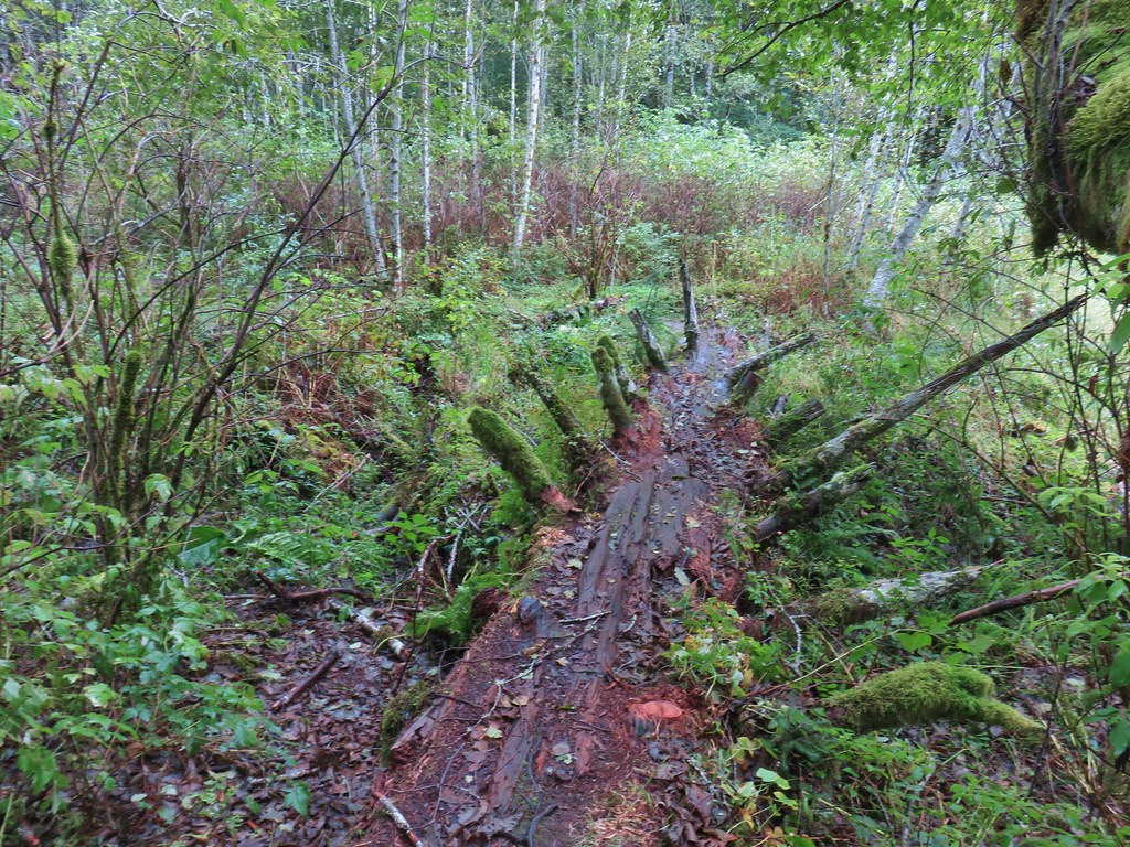
The winds that had caused the fires to explode throughout Labor Day night had also toppled thousands of trees across the forests of Oregon so we we weren’t sure what conditions we might encounter. Nearly immediately after setting off on the trail we were met with a jumble of recently downed limbs.
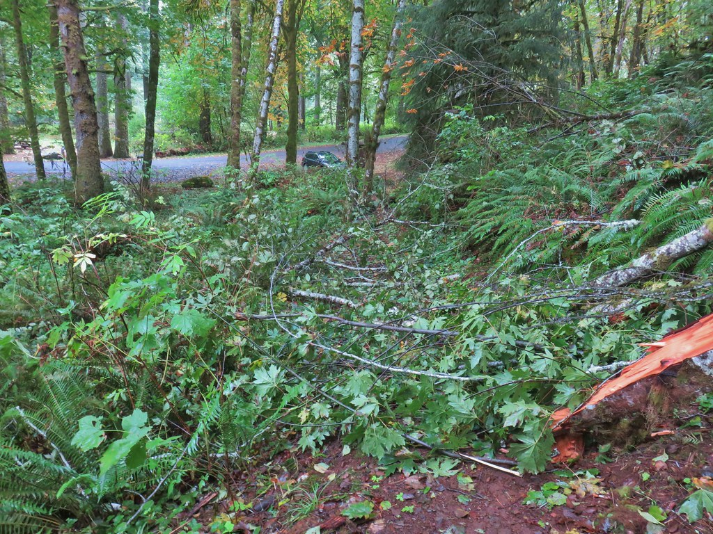
They were passable with care due to the slick condition of the wood which was damp from passing showers. Encountering this so early in the hike made us even more concerned about the conditions further on but as it turned out this would be the biggest obstacle of the day. There were a couple of downed trees which we simply stepped over and the rest was just smaller debris.
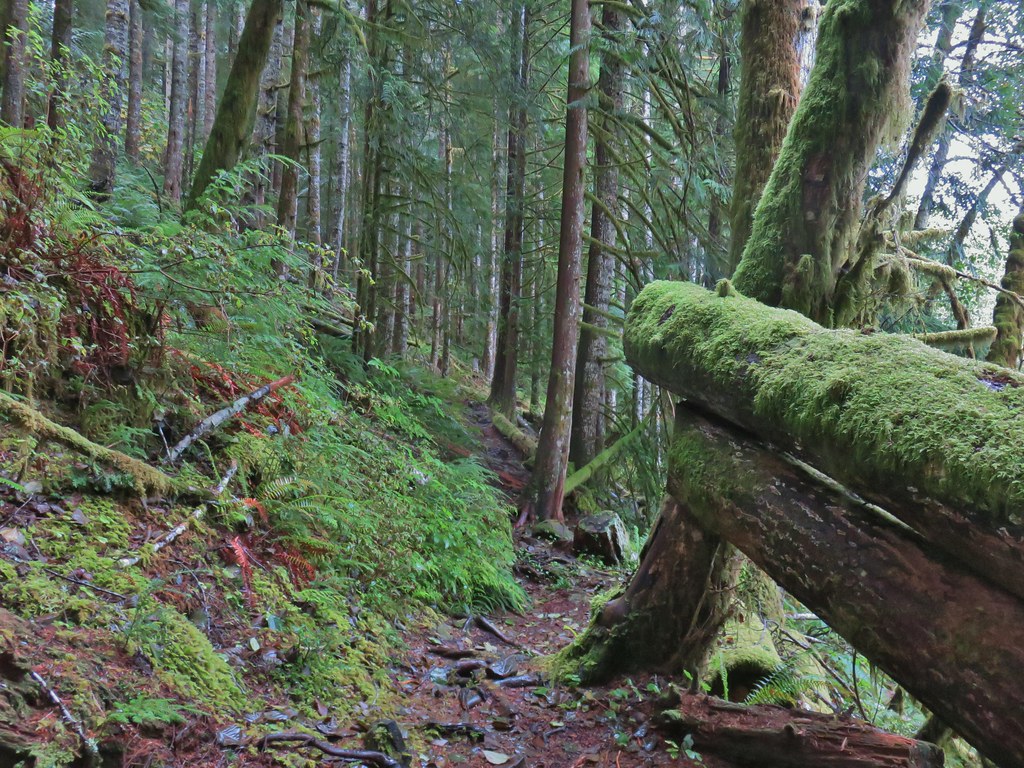
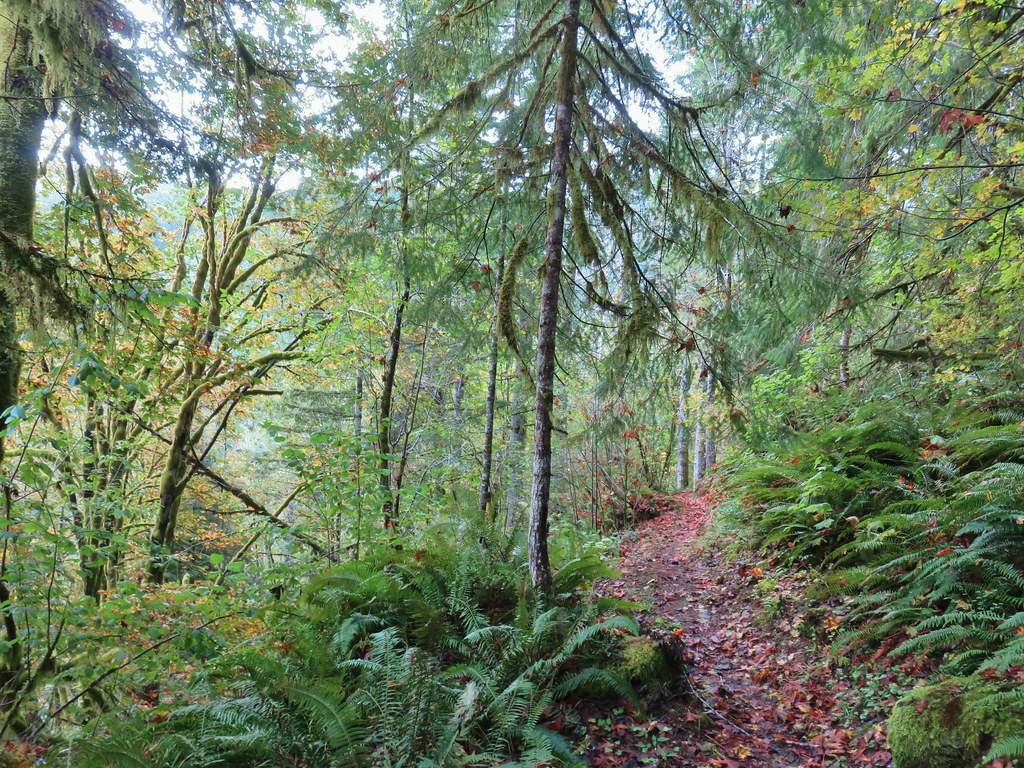
The Spruce Run Creek Trail began with a series of ups and downs, sometimes surprisingly steep, as it followed along Spruce Run Creek.

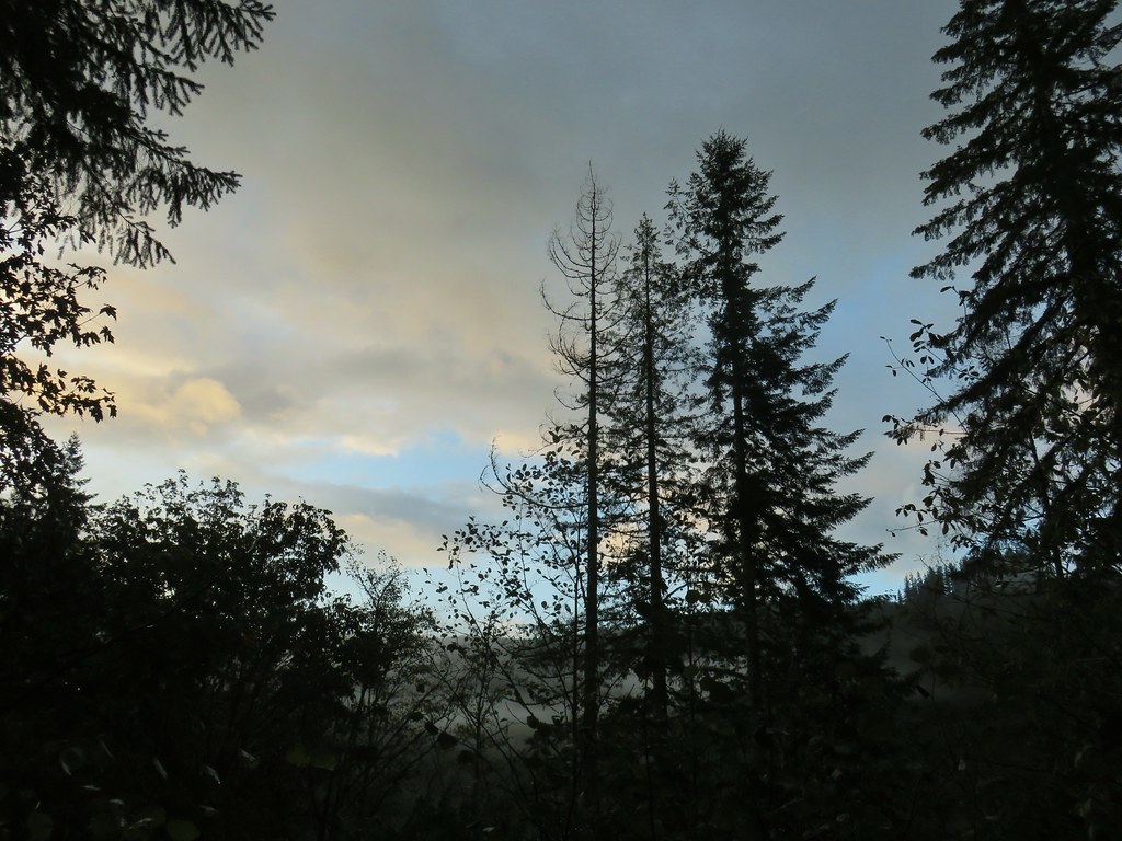
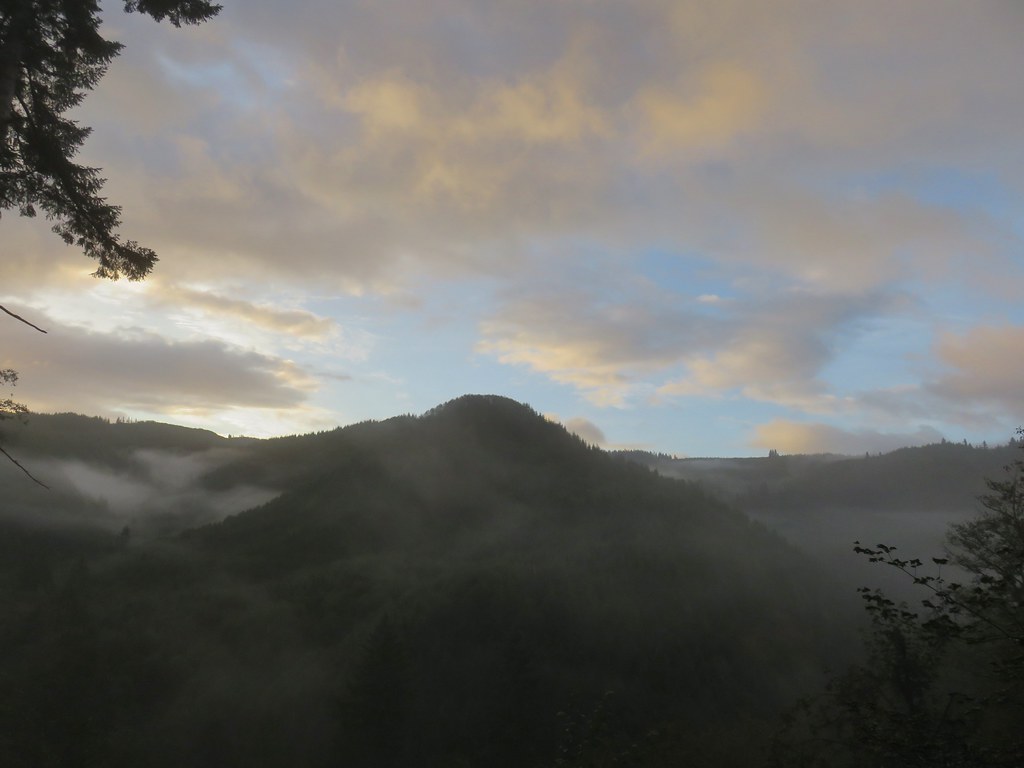
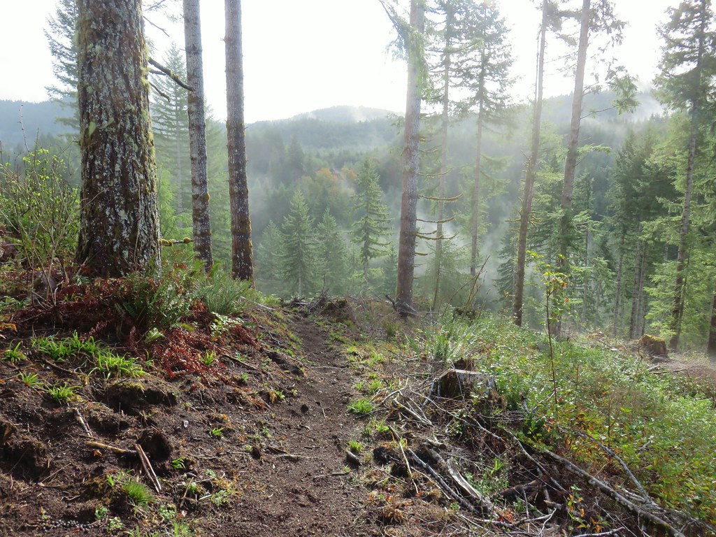
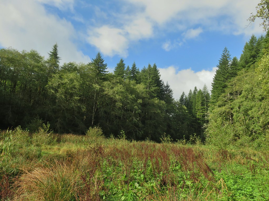
It was a fairly dark morning as passing showers kept the Sun behind clouds but none of the showers lasted long nor were very heavy and the clouds breaking up made for some nice views.

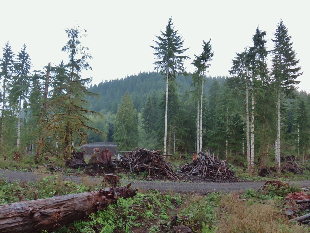
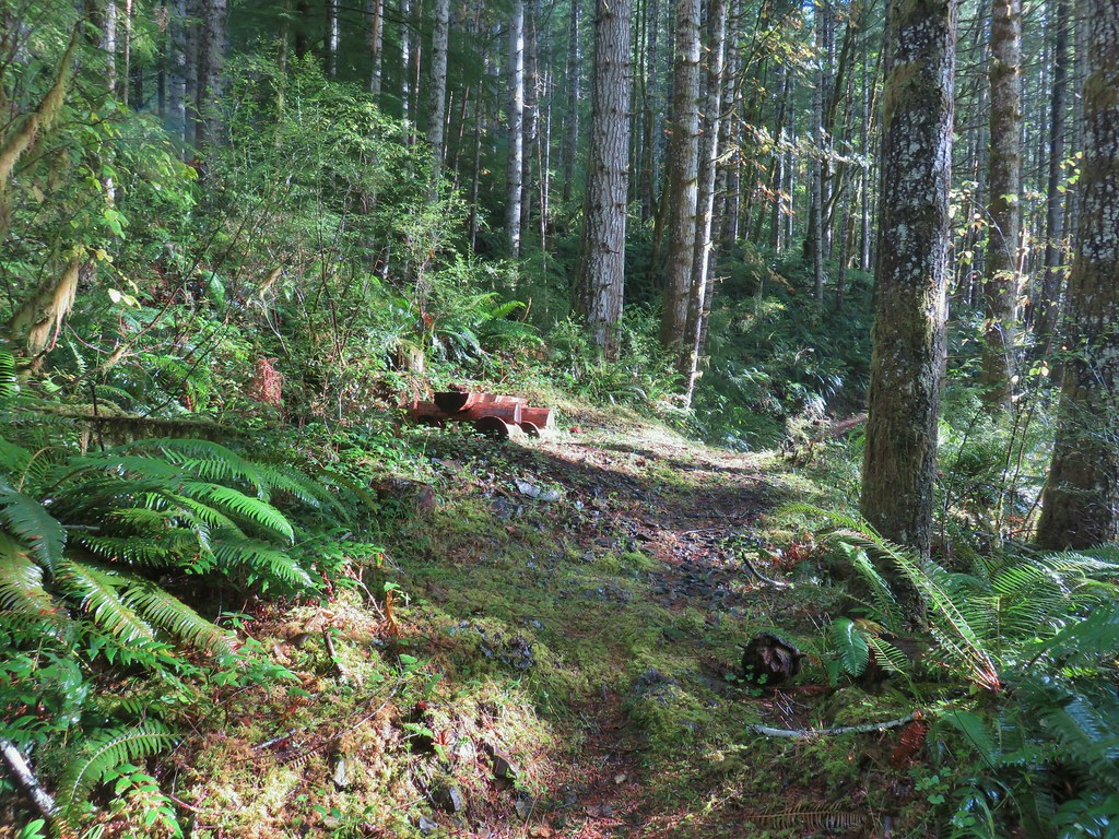
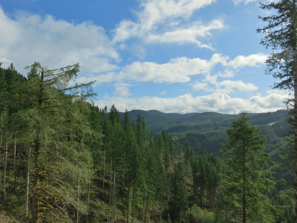
A little over a mile along the trail we were surprised to enter a recently logged area.
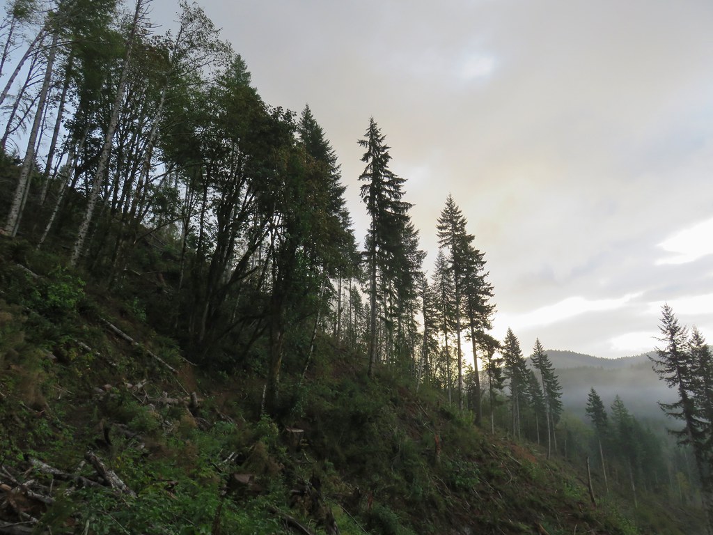
The trail was in relatively good shape and easy to follow through this area.


Another small surprise came near the 2 mile mark where we expected to find a short spur trail on the left leading to Lost Lake Road. Instead we arrived at a newer logging road.
We momentarily wondered if we had somehow taken the spur trail without realizing it but after consulting the map it was clear that this was a new road and we were still on the Spruce Run Creek Trail. We turned right onto the road and spotted the continuation of the trail at a 3-way junction after 100 yards or so.

We had actually planned on taking the spur trail to Lost Lake Road and hiking up that road 1.1 miles to Lost Lake instead of driving to the Lost Lake Trailhead after finishing our hike to Spruce Run Lake so at the 3-way junction we turned left. We followed this road downhill approximately .2 miles past a gate to Lost Lake Road where we turned right.
 The open gate and Lost Lake Road from a logging road.
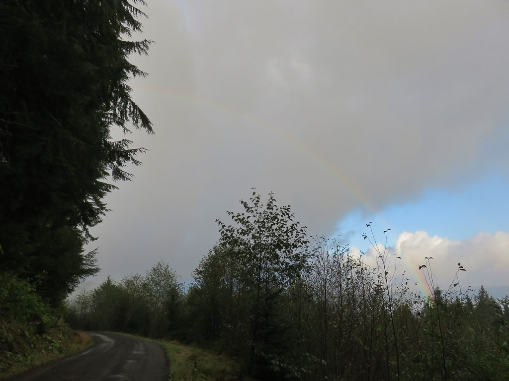
As we climbed up the road the alternating showers and blue sky created a nice rainbow behind us.

From the parking lot of Lost Lake we headed clockwise around the lake on a nice trail.

There were several opportunities for views of the little lake along the 1 mile loop.


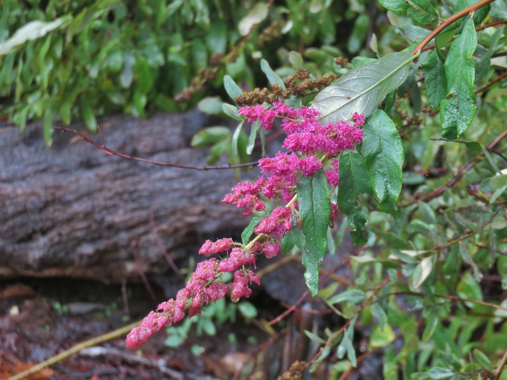 Hardhack
After completing the loop we returned on the roads to the continuation of the Spruce Run Creek Trail.
 Spruce Run Creek Trail on the left.
The trail descended through logged forest for the next half mile before passing the timber sale boundary.

 Leaving the logged area.
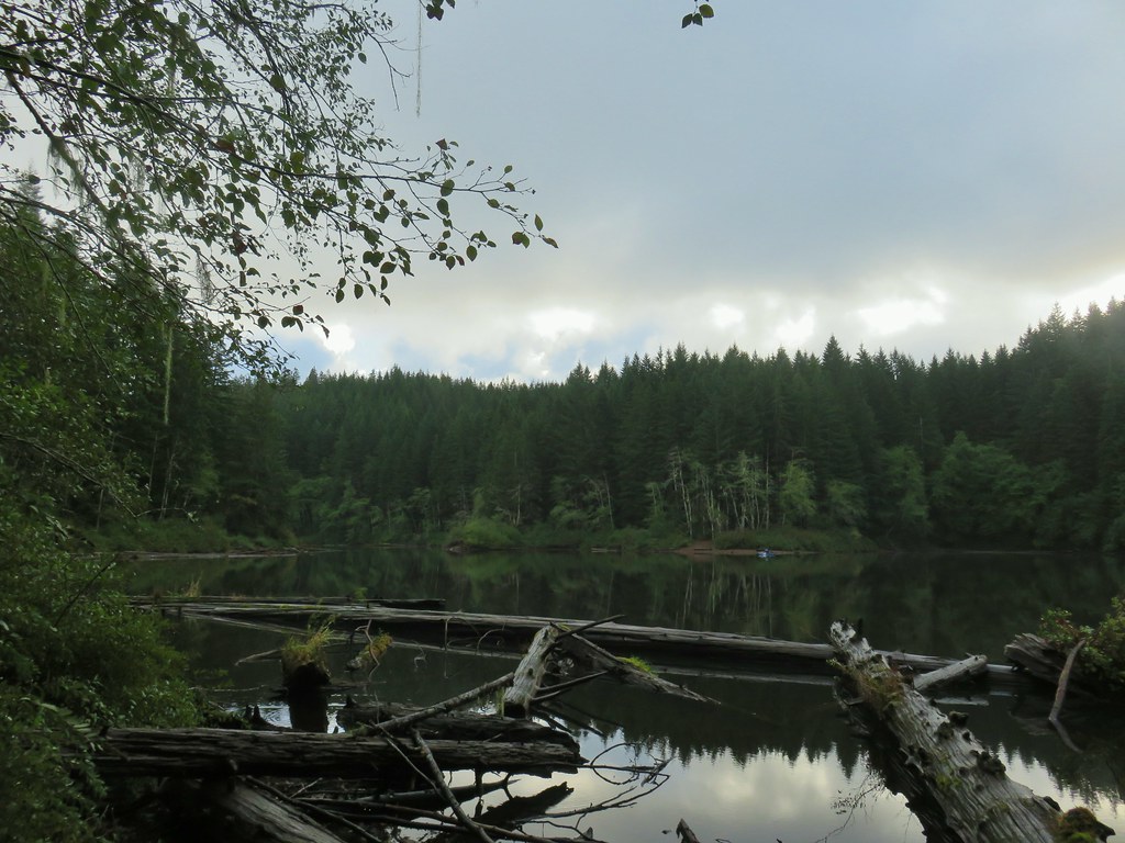
In another quarter mile we arrived at a pair of benches near the end of Spruce Run Lake.
 Rough skinned newt near Spruce Run Lake.
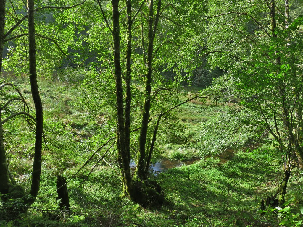
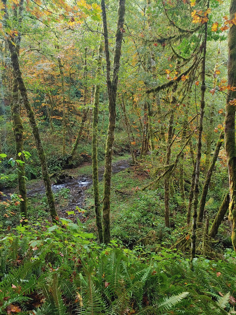
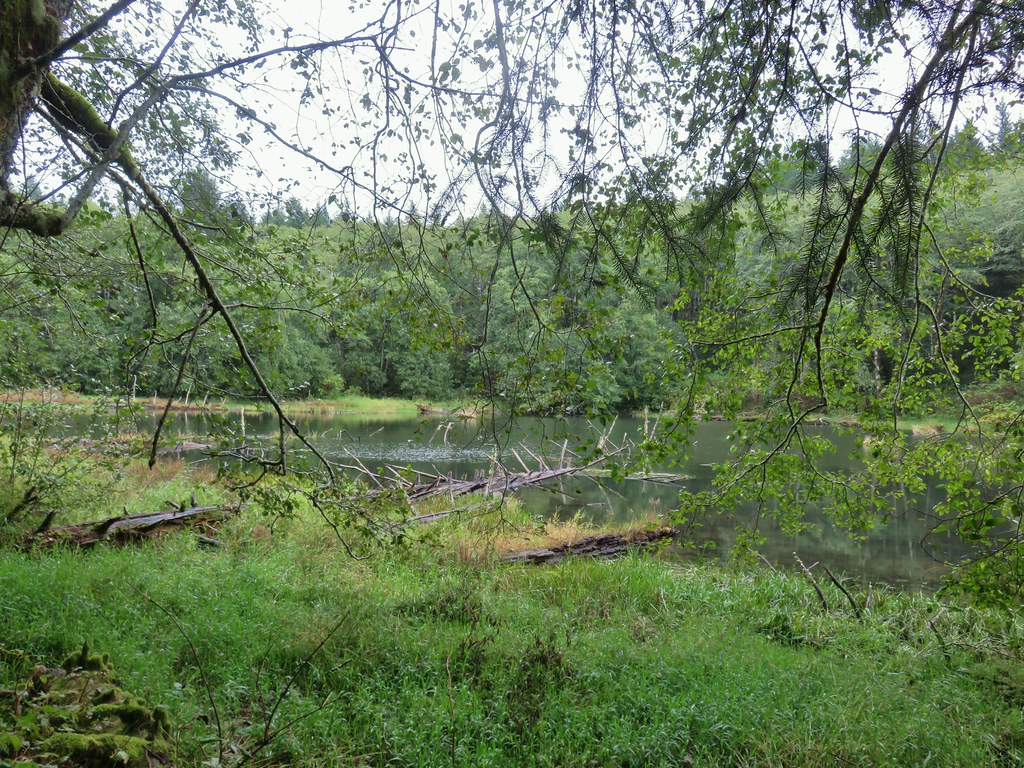
The lake was created by a landslide that backed up Spruce Run Creek. The water level fluctuates with the season and was little more than a pond at this point of the year.

The rest of the lake bed was a marshy green meadow with Spruce Run Creek flowing through.
 One of many damp spider webs in the meadow.
 The meadow from the bank of Spruce Run Creek
After exploring the meadow for a bit we headed back to our car under increasingly blue skies.
 Bleeding heart
 Scouler’s bluebell
 A little butterfly
When we had passed through the logged area we got a better look at the forest along the first part of the trail now that it was lighter. It looked and felt like Autumn.

Combining these two hikes was a little over 9 miles with 1600′ of elevation gain. We drove back to Highway 26 and headed toward Portland stopping at the Bloom Lake Trailhead just west of the Quartz Creek Bridge for a final quick hike.
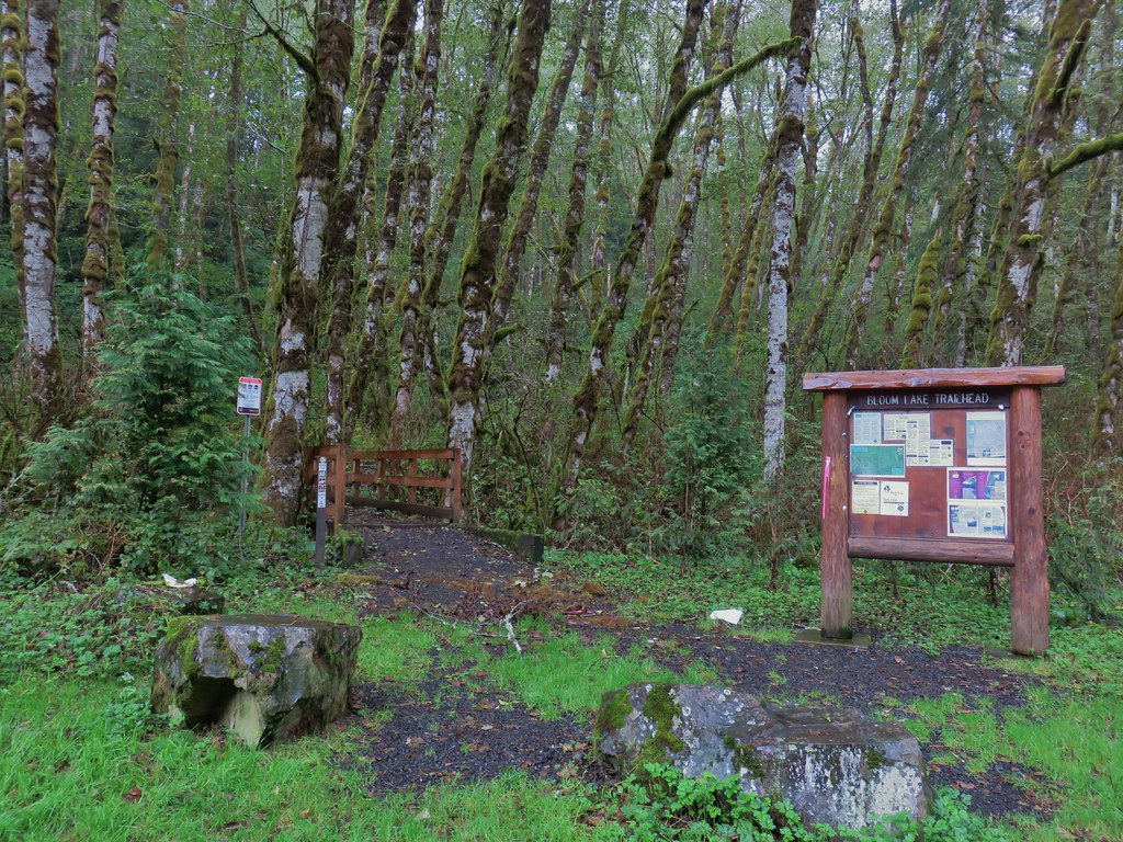
The blue skies that we had enjoyed on the earlier hike were nowhere to be found at this trailhead even though it was only 3 miles from Spruce Run Lake as the crow flies. The heaviest shower of the day passed overhead as we crossed South Fork Quartz Creek on a footbridge.


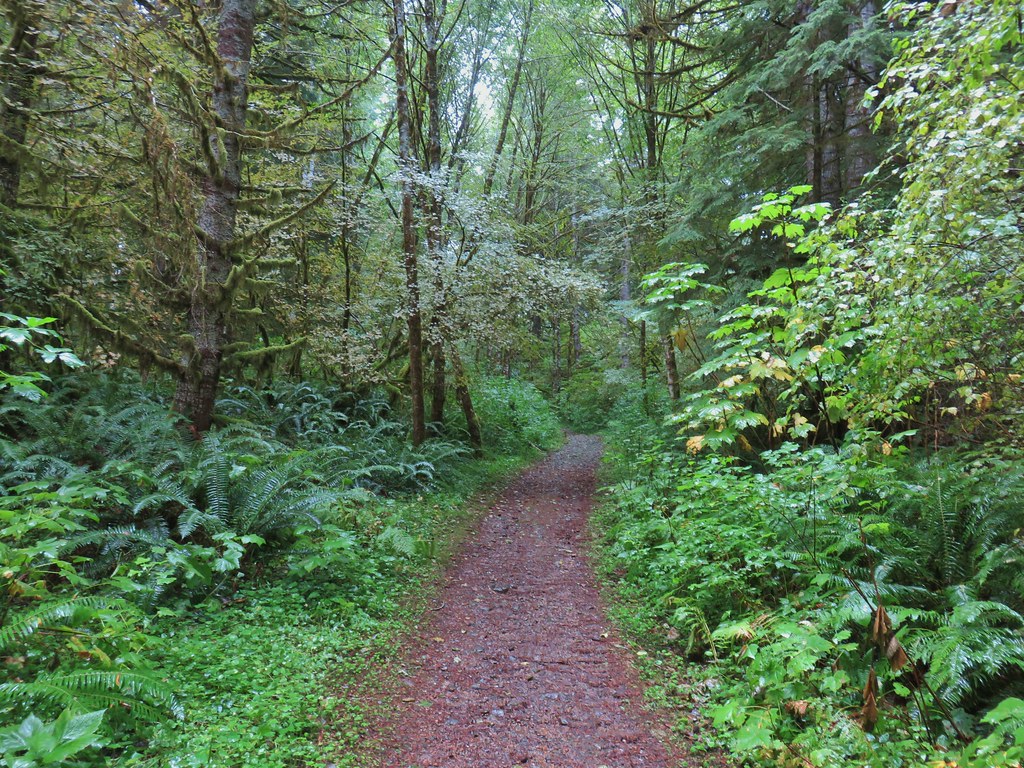
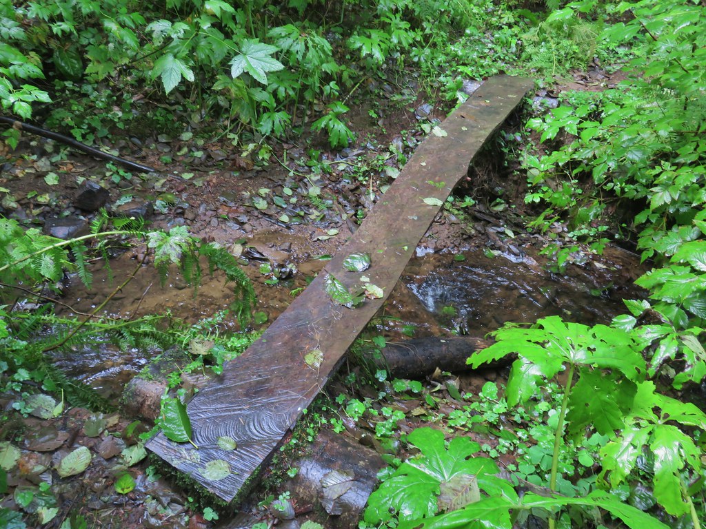
Fortunately this shower was like all the rest had been, brief. The Bloom Lake Trail climbed along an old road cut for a mile to the start of a loop around little Bloom Lake. We stayed left at the fork and in another .3 miles crossed an inlet creek on a slick looking piece of wood.
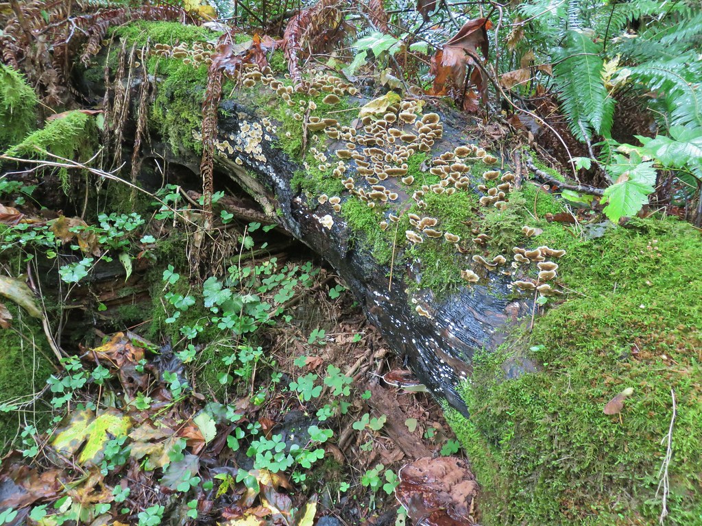
 Fall means mushrooms start replacing wildflowers.
Beyond the creek crossing we turned right another another old road bed then right again on August Fire Road (on which one can drive to Bloom Lake).
 August Fire Road
We turned right off of this road at another old road bed that was blocked by cut tree trunks.

This led us down to Bloom Lake.

 Snail near Bloom Lake.
We continued around the lake on a trail which crossed the outlet creek on an old log.
We completed the loop around the lake then headed back downhill to our car.
 Mushrooms
 More mushrooms
This hike was 3.2 miles with 675′ of elevation gain making our days tally 12.4 miles and 2275′. It was nice to get back out and this had turned out to be a good choice. Happy Trails!

3 replies on “Lost, Spruce Run, and Bloom Lakes – 09/26/2020”
I’m glad you found someplace that wasn’t on fire. Thanks for the great pics.
Really great content !
[…] didn’t make any headway with was the Oregon Coast. We did however visit Spruce Run and Lost Lake (post) which were two of the three hike options for the Lakes of the Coast Range (hike #12 4th […]