A wet weather system arrived with the weekend dropping some much need rain over the wildfires in Oregon and depositing a decent amount of new snow on the Cascades. This was great news and one of the few times that we were more than happy that our original plan was forced to change due to weather. We were going to be in Bend to celebrate the 75th birthday of Heather’s Dad which provided us an opportunity to hike in the rain shadow of the Cascades before heading home Sunday morning. It was a nice celebration and a rare event for all our calendars to align and be together.
Having finished all 100 featured hikes (post) in William L. Sullivan’s “100 Hikes/Travel Guide Central Oregon Cascades” (4th edition) we turned to his 5th edition of the book and decided to check out Wildcat Canyon (Hike #36). Wildcat Canyon is part of the Bureau of Land Management’s Maston Trail System, a 4,000 acre mixed use network of trails for hikers, bikers, and equestrians. It also happens to be located in my old stomping grounds near Tumalo, OR. The Maston Trailhead (see previous link) is less than 10 driving miles from the my parent’s old house between Bend and Redmond and just over 5 miles from my former elementary school. Way back then the Maston Trail System didn’t exist but I had spent time exploring the Deschutes River Canyon near that area, closer to Eagle Crest Resort, so I was excited to check the trail system out.
We were the second car at the Maston Trailhead that morning.

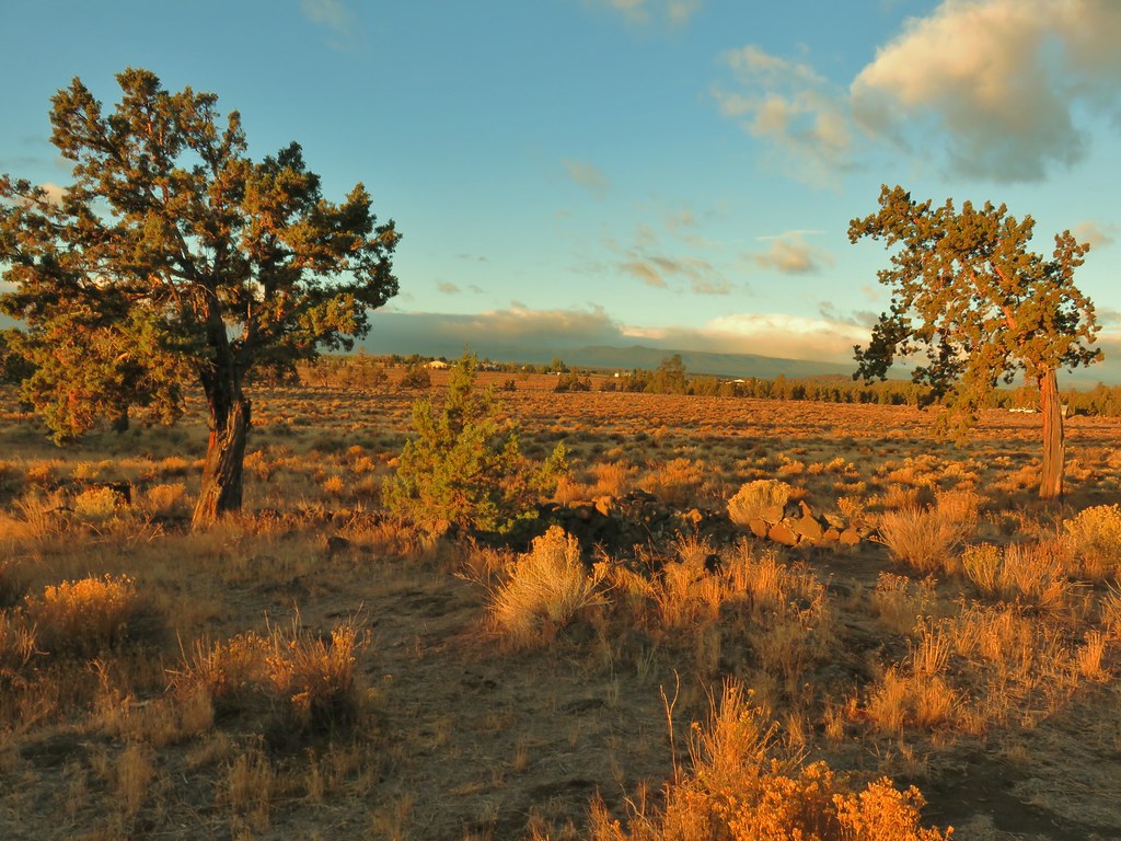
 Cline Buttes from the Maston Trailhead.
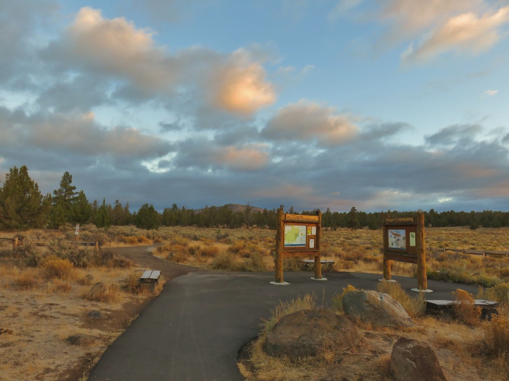
It was a crisp morning with a bit of frost on the ground, the kind of morning that reminded me of a high school job I had moving irrigation pipes at a nearby farm. We set off through the equestrian parking area and passed through an open fence by a trail map.

This was the Settlement Trail (an equestrian/hiker only trail), named for the settlers who had cleared the land and began constructing farms in the early 1900’s in preparation of the arrival of irrigation water. The water never came and by the 1930’s the farms had been abandoned.
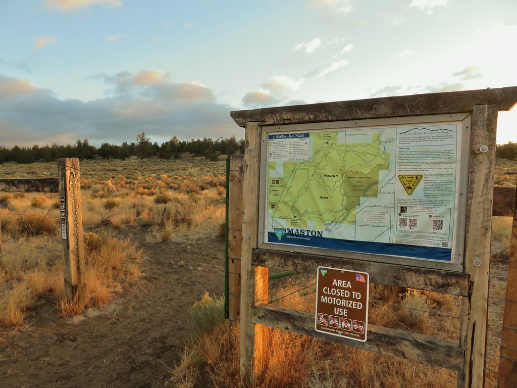
 Interpretive sign at the Maston Trailhead telling the story of the settlers.
 Stone foundation of one of the abandoned buildings along the Settlement Trail.
We followed the Settlement Trail by staying right at junctions for the first 1.5 miles.

 Typical sign at a junction. Not all of the junctions had signs and not all of the signs identified which trail/junction it was so having a copy of the trail system map is a really good idea.
There were a lot of different birds about but most wouldn’t stay still long enough for a picture and those that did perched at the top of junipers distant enough to make identifying them even with a 30x zoom a bit difficult.
 This one may be a sparrow of some sort, it was signing quite a bit.
 Possibly another sparrow or a finch or something else.
 Maybe a bluebird?
We took a wrong turn at a junction just over a half mile from the trailhead. We had been expecting to see the Wildcat Canyon Trailhead to our right which our guidebook indicated we should go down to, so when we spotted a signboard along a road less then a tenth of a mile to our right we headed for it. When we got to the little pullout at the road we double checked the map and realized that we had turned right too early so we turned around and returned to the junction. We turned right again and continued on the Settlement Trail another quarter of a mile to the actual Wildcat Canyon Trailhead.
 Wildcat Canyon Trailhead off to the right.
We spotted the only non-bird wildlife of the day near this trailhead when a rabbit raced out of the sagebrush and paused briefly on the other side of a juniper.
 I managed to snap one photo and of course the camera focused on said juniper instead of the rabbit beyond.
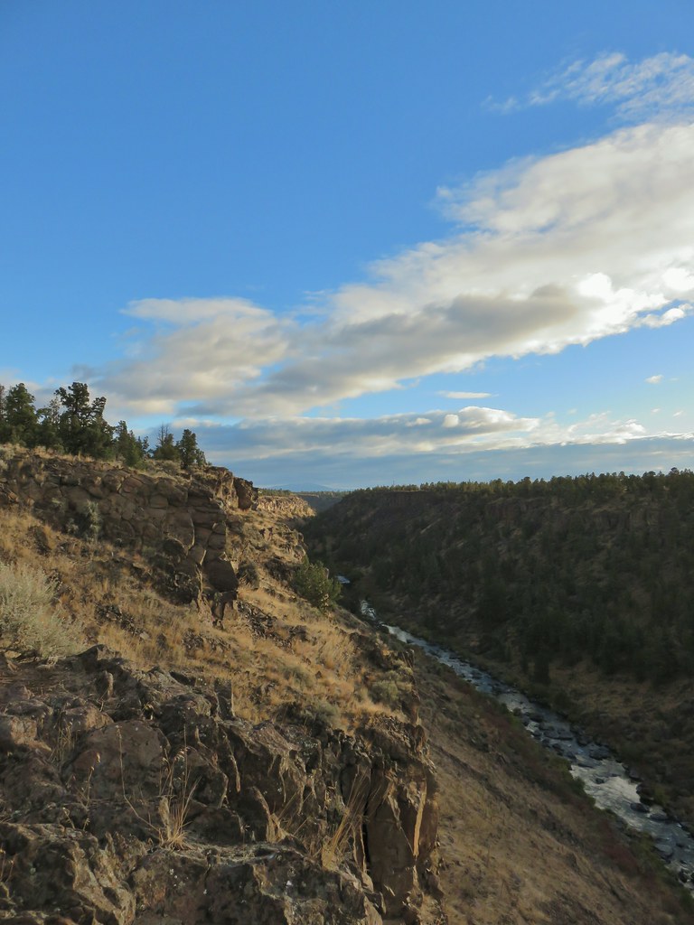
We stayed straight at the trailhead on the Settlement Trail which was now almost directly next to the Rockbar Trail (a mountain bike trail). The Settlement Trail quickly arrived on the basalt cliffs above the Deschutes River Canyon.
 Wildcat Canyon on the right joining the Deschutes River Canyon
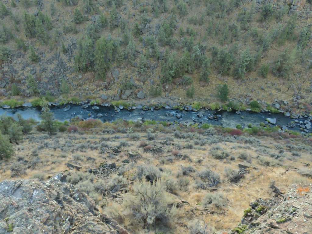
 The Deschutes River near where the canyons meet.
 Grizzly Mountain in the distance beyond the Deschutes River.
The trail turned north along the canyon rim which we followed for half a mile, switching to the Rockbar Trail when the equestrian trail crossed over it.
 Another of several viewpoints along the rim.
 Some Fall color along the Deschutes River.
 Rock dove
 A viewpoint along the Rockbar Trail.
 Looking south up the river canyon.
 A calm pool along the Deschutes.
 I could see this one, a Stellar’s jay.
Shortly after the Rockbar Trail turned away from the canyon it crossed a private road.
 Coming up to the road.
We followed Sullivan’s instructions and jogged left 100′ picking up the equestrian trail again.

We turned uphill on the equestrian trail to a junction with the Headgate Trail, another mountain bike trail, in just 100 yards.

We turned left following this single track through the juniper and sagebrush for approximately 2 miles ignoring side trails along the way.

 This was Junction 2 (one of the junctions with an identifying sign). We stayed right on the Headgate Trail here.
At a slightly higher elevation than the Settlement Trail the Headgate Trail would have provided a fairly nice view of the Cascades but on this day they were mostly shrouded in clouds although we could see fresh snow on Tam McArthur Rim (post) and on the lowest portion of the South and North Sisters.
 Tam McArthur Rim is left center with South Sister in the center and North Sister to the right center.
We turned down what we believe on the map to be the Maston Tie Trail (it was unmarked) and followed it for a quarter of mile back to the beginning of the Settlement Trail at the Maston Trailhead.
 Heather and Dominique on the Maston Trail.
 Coming up on the Settlement Trail.
This wound up being a nice loop, just under 5 miles, with minimal elevation gain (200′ or so). The network of trails provides options for both shorter and longer loops too with multiple starting points available. We hope to come back again in the Spring some year to check out more of the area and see what it looks like during a different season. Until then this was a great introduction to the area. Happy Trails!
Flickr: Wildcat Canyon
