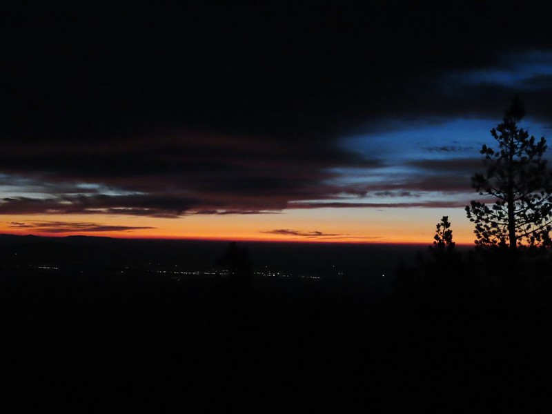
Back in 2016 we set a goal for ourselves to hike all 500 featured hikes in William L. Sullivan’s “100 Hikes…” series of guidebooks post. In 2020 we completed the first of these books covering the Central Oregon Cascades (post). We followed that up by completing a pair of books in 2021 starting with Sullivan’s “100 Hikes/Travel Guide Oregon Coast and Coast Range” 3rd edition (post) followed up by “100 HIkes/Travel Guide Northwest Oregon & Southwest Washington” 4th edition (post). Southern Oregon & Northern California was completed in 2023 leaving us with Eastern Oregon.
In 2023 we pivoted from the 3rd edition of Sullivan’s “100 Hikes/Travel Guide Eastern Oregon” to his renamed 2022 1st edition “100 Hikes Eastern Oregon” book. This was to avoid needing to make the tedious drive on horrible roads to Dug Bar in Hells Canyon which had been replaced as a featured hike in the newer edition.
The criteria for checking a hike off our list is to hike a portion of Sullivan’s described hike or, at least visit the main attraction(s) he identifies for the hike. For 67 of the hikes we completed the books described route. For the other 33 hikes various factors contributed to us not completing every option of each featured hike. For some we started at a different trailhead, others had portions of trail(s) closed when we visited, and several had additional options that we did not do.
Of the five regions Sullivan breaks his guidebooks into, the Eastern Oregon region is the largest and most diverse. The area covered in this book includes hikes in Oregon east of the Deschutes River in Central Oregon and from Klamath Falls (western most hike) east to the Idaho border. There is however one hike in Washington west of the Deschutes across the Columbia River from The Dalles, OR. It also includes one short option in Idaho (eastern most), one featured hike in California (southern most) making it his only book with hikes in more than two different States. The northern most hike is not the one in Washington. That honor belongs to the Wenaha River near Troy in NE Oregon.

The hikes involved several wilderness areas: Oregon Badlands, Mill Creek, Spring Basin, Strawberry Mountain, North Fork John Day, North Fork Umatilla, Wenaha-Tucannon, Eagle Cap, Hells Canyon, Monument Rock, and Steens Mountain. Missing from this list are the Black Canyon (post) and Gearhart Mountain (post) wilderness areas which had featured hikes in earlier versions of Sullivan’s book that we’d completed, but were removed in the 2022 edition due to wildfire damage.
In addition to the 11 designated wilderness areas there were hikes in two National Monuments, the John Day Fossil Beds National Monument in Oregon and the Lava Beds National Monument in California, and one National Volcanic Monument, the Newberry National Volcanic Monument.
Following is a list of the 100 featured hikes and the dates we visited.
#1 Cottonwood Canyon – Hiked 5/27/2017

#2 Columbia Hills – Hiked 4/4/2015 & 4/17/2021

#3 Lower Deschutes River – Hiked 6/9/2018

#4 Macks Canyon – Hiked 5/26/2018

#5 Criterion Tract – Hiked 05/28/2023

#6 Trout Creek – Hiked 10/12/2013

#7 Willow Creek at Madras – Hiked 5/27/2024

#8 Cove Palisades – Hiked 6/16/2018

#9 Gray Butte – Hiked 6/13/2015

#10 Oregon Badlands – Hiked 5/15/2016 & 12/24/2016

#11 Pine Mountain – Hiked 7/30/2012

#12 Paulina Falls – Hiked 8/9/2011 & 9/16/2017

#13 Paulina Lake – Hiked 8/9/2011 & 9/16/2017

#14 Obsidian Flow – Hiked 8/9/2011

#15 Crooked River Wetlands – Hiked 5/29/2024

#16 Chimney Rock – Hiked 9/22/2017

#17 Steins Pillar – Hiked 5/8/2013

#18 Juniper Hill – Visited* 5/27/2024

#19 Mill Creek – Hiked 7/31/2012

#20 Lookout Mountain – Hiked 6/12/2014

#21 Walton Lake – Hiked 6/17/2017 & 6/18/2021

#22 Spring Basin – Hiked 4/22/2017

#23 John Day Fossil Beds – Hiked 4/30/2016, 4/22/2017 & 9/17/2017
 Painted Hills Unit
 Clarno Unit
 Blue Basin Unit
#24 Sutton Mountain – Hiked 4/30/2016

#25 Spanish Peak – Hiked 7/19/2021 & 7/20/2021

#26 Madison Butte – Hiked 5/28/2024

#27 Wildcat Basin – Hiked 7/24/2018

#28 High Lake – Hiked 7/26/2018

#29 Strawberry Lake – Hiked 7/25/2018

#30 Malheur River – Hiked 6/17/2021

#31 Canyon Mountain – Hiked 7/22/2021

#32 Monument Rock – Hiked 7/21/2021

#33 Bates and Sumpter – Hiked 9/17/2017

#34 Olive Lake – Hiked 9/18/2017

#35 Granite Creek – Hiked 9/21/2017

#36 North Fork John Day River – Hiked 9/19/2017

#37 Mount Ireland – Hiked 7/9/2022

#38 Baldy Lake – Hiked 9/20/2017

#39 Crawfish Lake – Hiked 8/16/2018

#40 Anothony Lake – Hiked 8/16/2018

#41 Elkhorn Crest – Hiked 8/12/2018, 8/13/2018, 8/14/2018, 8/15/2018 & 08/16/2018

#42 Twin Lakes – Hiked 8/13/2018

#43 North Fork Umatilla River – Hiked 6/14/2021

#44 Jubilee Lake – Hiked 9/12/2021

#45 Wenaha River – Hiked 5/25/2019

#46 Zumwalt Prairie – Hiked 5/26/2019

#47 Buckhorn Lookout – Hiked 6/15/2023

#48 Eureka Bar – Hiked 6/14/2023

#49 Hat Point – Hiked 7/21/2024

#50 Freezeout Saddle – Hiked 5/24/2019

#51 Hells Canyon Dam – Hiked 6/16/2023

#52 Hells Canyon Reservoir – Hiked 6/16/2023

#53 Imnaha Falls – Hiked 6/12/2023

#54 Bonny Lakes – Hiked 7/24/2024

#55 McCully Basin – Hiked 7/23/2024

#56 Mount Howard – Hiked 7/26/2024

#57 Aneroid Lake – Hiked 8/22/2024

#58 Wallowa Lake – Hiked 5/23/2019
 B.C. Falls
#59 Ice Lake – Hiked 7/31/2016

#60 Horseshoe Lake – Hiked 8/3/2016 & 8/04/2016

#61 Hurricane Creek – Hiked 7/22/2024

#62 Eagle Cap – Hiked 8/3/2016

#63 Minam Lake – Hiked 7/25/2024

#64 Maxwell Lake – Hiked 8/21/2024

#65 Chimney Lake – Hiked 8/20/2024

#66 Wallowa Homeland – Hiked 7/14/2022

#67 Bear Creek – Hiked 7/14/2022

#68 Rock Springs – Hiked 7/11/2022

#69 Moss Springs – Hiked 7/13/2022

#70 Catherine Creek Meadows – Hiked 7/10/2022

#71 Burger Pass – Hiked 7/12/2022

#72 Tombstone Lake – Hiked 8/16/2023 & 8/17/2023

#73 Eagle Lake – Hiked 8/13/2023

#74 Bear Lake – Hiked 8/14/2023

#75 Hidden Lake – Hiked 9/9/2024

#76 Summit Point Lookout – Hiked 8/18/2024

#77 Pine Lakes – Hiked 8/19/2024

#78 Fort Rock – Hiked 6/14/2014 & 5/28/2017

#79 Fort Rock Valley – Hiked 5/28/2017

#80 Hager Mountain – Hiked 7/30/2013 & 6/14/2014

#81 Summer Lake – Hiked 7/24/2020

#82 Winter Ridge – Hiked 7/19/2020

#83 OC&E Railroad – Hiked 10/5/2018

#84 Klamath Falls – Hiked 10/20/2018

#85 Modoc Lava Beds – Hiked 10/6/2018

#86 DeGarmo Canyon – Hiked 7/22/2020

#87 Hart Mountain Hot Springs – Hiked 7/21/2020

#88 Petroglyph Lake – Hiked 7/22/2020

#89 Steens Summit – Hiked 8/18/2021

#90 Little Blitzen River – Hiked 8/19/2021

#91 Big Indian Gorge – Hiked 8/17/2021

#92 Threemile Canyon – Hiked 9/3/2023

#93 Pike Creek – Hiked 6/14/2018

#94 Big Sand Gap – Hiked 6/14/2018

#95 Borax Hot Springs – Hiked 6/14/2018

#96 Pueblo Mountains – Hiked 8/20/2021

#97 Leslie Gulch – Hiked 6/11/2018

#98 Coffeepot Crater – Hiked 6/11/2018

#99 Chalk Basin – Hiked 6/13/2018

#100 Three Forks – Hiked 6/12/2018

*The Juniper Hills Preserve is owned by the Nature Conservancy and had been closed to public entry in 2023, so we were unable to hike the trails. We parked and walked to the gates to take photos. If they ever reopen it to the public we will go back.
Completing our featured hike goals provided a sense of relief. While we thoroughly enjoyed all of the hikes, and the Wallowa Mountains became our favorite destination in Oregon, we had begun to put pressure on ourselves to finish. That pressure had begun following the September 2020 wildfires that ravaged parts of the Central Cascades and left many trails closed for years. We had just finished the featured hikes in that area earlier that year and realized how close we’d come to having to put our goal on hold. In the grand scheme of things reaching 500 featured hikes is irrelevant but having worked on it for several years it was something we didn’t want to abandon. We will gig deeper into that in a later post covering finishing the 500, but it’s nice to have the urgency to get to specific places removed.
Setting the goal did provide us with an excuse to visit parts of Oregon that we’d never seen before. While we were checking off the 100 featured hikes we stopped at over three dozen additional spots including eight previously featured hikes. There are still numerous trails left for us to explore so we will almost certainly be heading back to Eastern Oregon from time to time to see new sights and possibly revisit some familiar ones. Happy Trails!


 The yellow-headed blackbirds were particularly noisy.
 A cinnamon teal in front of two mallards?
 This loop was 3.4-miles.
 Grizzly Mountain from Pond 4.
 Killdeer
 One of the interpretive signboards ahead.
 Goose family
 There were plenty of benches to enjoy the views from.
 Mallards
 Cinnamon teal
 Must be a green-winged teal but the angle of light made the patch on his head look blue.
 We’d never seen so many killdeer in one area.
 Spotted sandpipers
 Brewer’s blackbird
 Swallow
 Pollinator garden
 Ring-necked ducks
 Wilson’s phalarope
 Yellow-headed blackbirds
 American coot
 Adolescent geese
 Dove
Dove Gadwalls
 Female yellow-headed blackbird
 Pair of bucks.
 Ruddy ducks
 Red-winged blackbird harassing an osprey.
 Gray Butte
 A pair of hawks.
 Not birds.
 Marsh wren
 Great blue heron
 Observation deck at Pond 10.
 Another marsh wren.

 Heading back to the parking area.
 The trailhead has numerous parking spots for cars as well as a large horse trailhead, outhouse, and picnic tables.
 The big signboards unfortunately did not have a map or other information about the trail system though.

 The North Sister behind us.

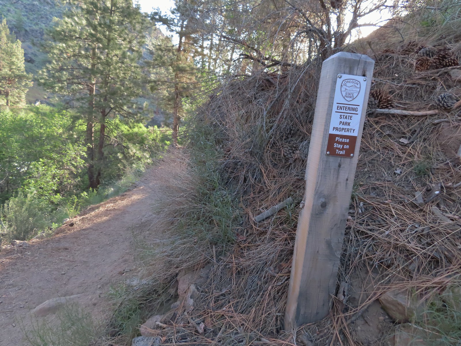
 Signpost for the canyon ahead.
 This sign was just like the ones we’d seen Saturday at the Dry River Canyon (post).


 The canyon is home to some impressive ponderosa pines.
 Another ponderosa
 Looking up from below the ponderosa.
 Lichens


 Townsend’s solitaire
 Owl
Owl
 West wall
 East wall
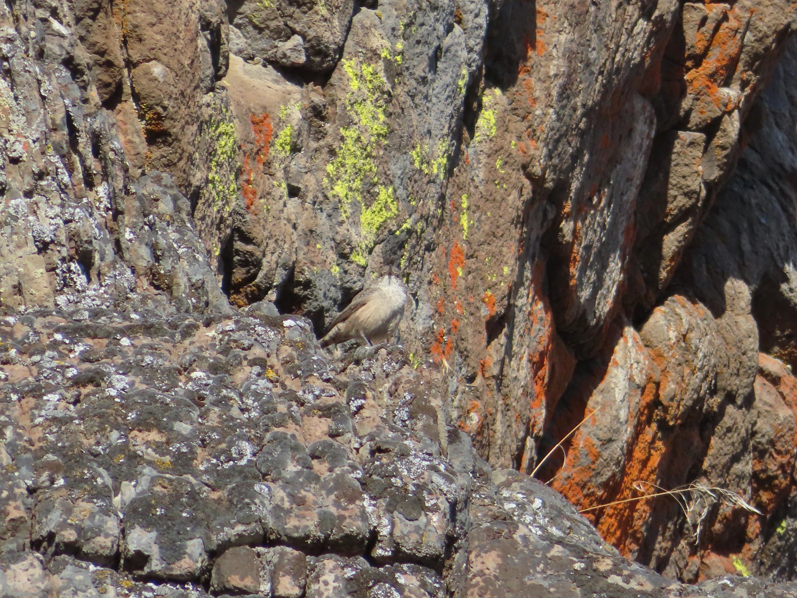 Wren
Wren Neat rock formation.
 Exiting Fryrear Canyon.
 Several mountain chickadees came to investigate as we passed through the gate.

 Middle and North Sister
 Mountain bluebird
 South Sister
 Mt. Jefferson
 Broken Top and South Sister
 Broken Top behind some clouds.
 We turned right back onto the spur trail to the Fryrear Trailhead at the end of our loop.
 Stellars jay


 Open sign at the trailhead.
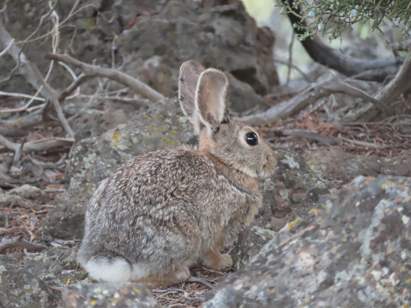
 Rabbit in the sagebrush.
 Some of the exposed rocks showed the work of the ancient river.
 Shaped by water.
 Colorful rock bands along the canyon wall.


 There is a huge nest up on the cliffs.
 The nest
 Wren
Wren American kestral
 Tall sagebrush in the canyon.
 The canyon reaches a depth of approximately 300′.


 Skipper
 I believe this is a ringlet of some sort.

 Heading toward the Evens Well Trailhead.
 Looking toward the Dry River Canyon from the plateau. It was impossible to tell that there was such a deep canyon out there.
 Pine Mountain (
 The rock steps were more obvious on the way down them.
 A sparrow behind the sticks the camera was intent on focusing on.
 Bee on buckwheat
 Arriving back at the official trailhead. Several SUVs were now parked here.
 They’re hard to make out but the Middle and North Sisters were visible from the road walk back to the gravel area.
 The trailhead at the campground.
 Neat map at the trailhead.
 Gold flagging on the sagebrush ahead marked the junction.
 The trail followed a fence line before turning right along Highway 395.
 Tiny frog
 The trail crossed this gated road near the highway. A blue diamond marked the trails continuation.
 One of several interpretive signs along the loop.
 Squirrel
 The highway was just out of sight to the left.
 Big ponderosa
 We crossed the campground road and quickly realized our mistake and backtracked.
 This time we spotted the correct trail and forked right here.
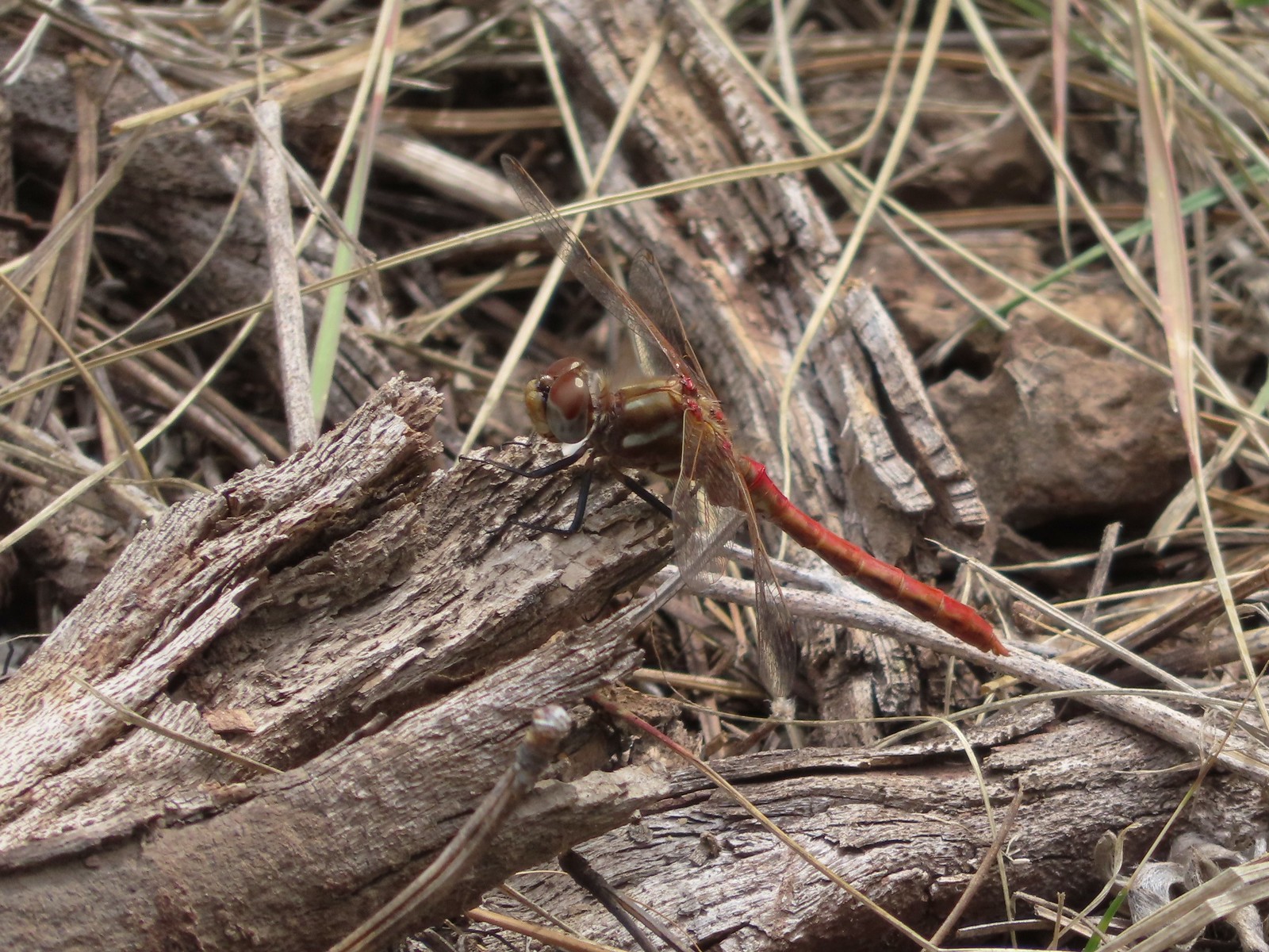 There were lots of dragonflies in the area.


 Golden-mantled ground squirrel already sporting some of its winter weight.
 We turned right here onto the Devine Summit Trail.
 Deer in the forest.
 There was a bit of blowdown to navigate along the trail.
 Some maintenance had been done in the past. There were also a good number of benches along the trail, all of which were accompanied by a post with a number.
 Another bench near this fence.
 Ponderosa forest
 White breasted nuthatch
 Another post and bench.
 Arriving at the Idlewild Loop on the far side of the fence.
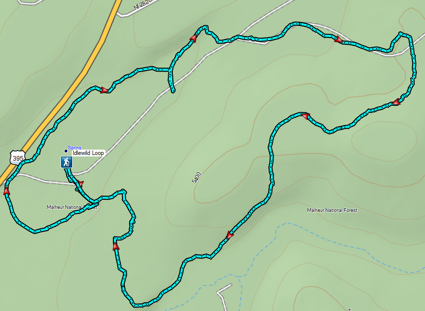


 The sign is visible from the campground road.


 Common mergansers
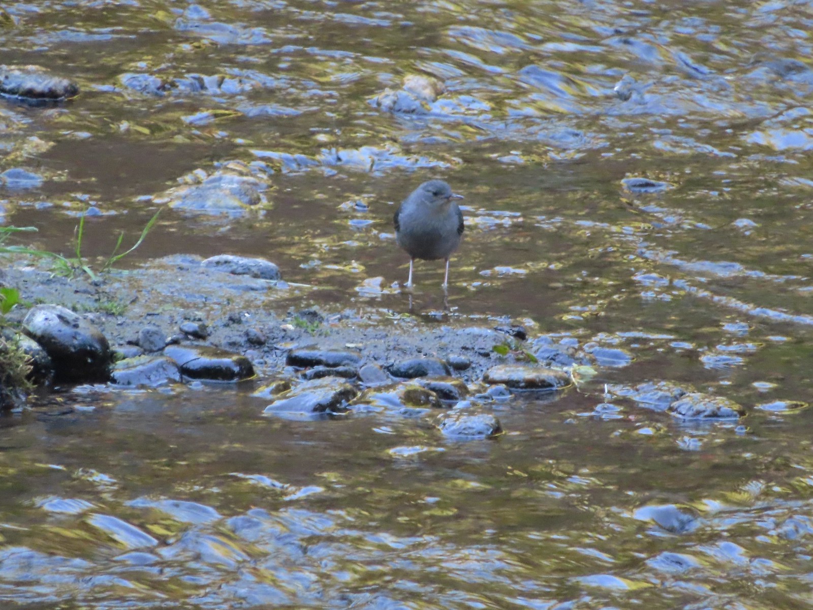 Ouzel
Ouzel Goldenrod
 Passing some of the campsites.
 The Candle Creek Campground across the Metolius.
 We actually went left below the stump here but, on the way back wound up coming downhill by the stump.
 More campsites.
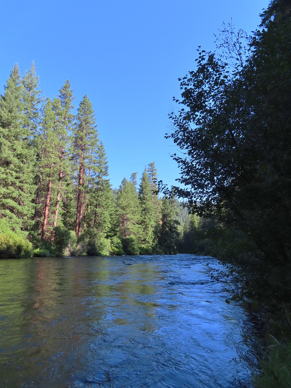
 As we got further from the campground we encountered more and more brushy sections.
 Another section with an increased number of obstacles.
 Getting a bit brushier.
 We left the river for the road at this bend.
 Heading up to the road.
 The use trail from the road.
 We wondered what this post signified.
 They were way past blooming but there were several mountain lady slippers along the road.
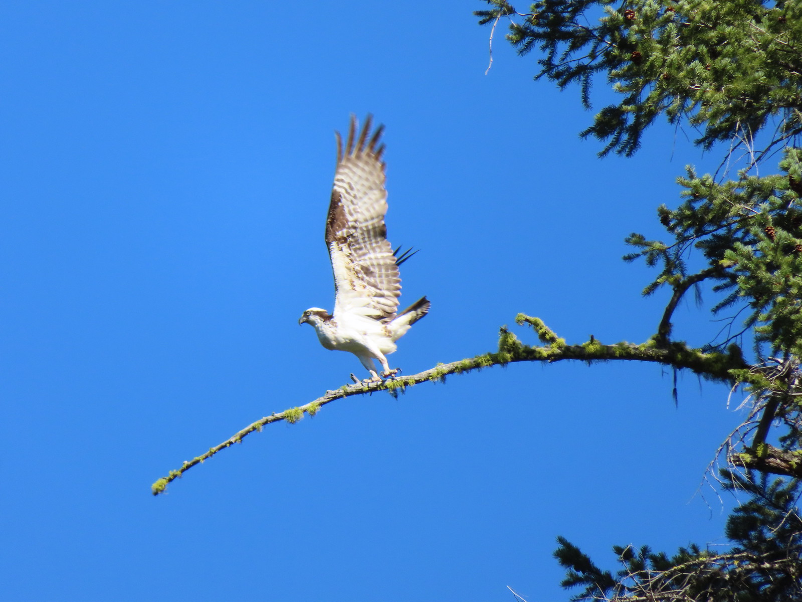
 Osprey nest
 Rock spire on lower section of Green Ridge. There are several interesting rock features higher up on the northern end of Green Ridge that were not visible from the road.
 Orchid
 Scarlet gilia
 Some of the private cabins from the road.


 A couple more cabins.
 The end of the private land.
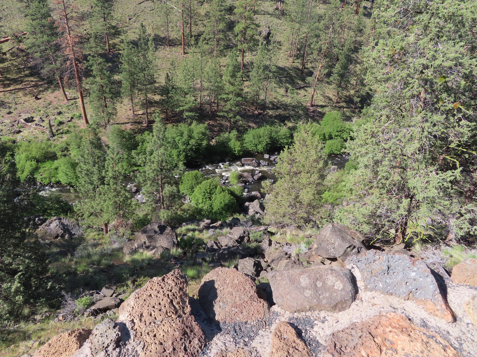
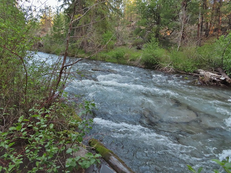
 The clear water allows for nice views of the rocks making up the riverbed.
 Even though it had received maintenance the road was not in good enough condition for larger vehicles.

 Pink monkeyflower

 Lorquin’s admiral
 The forest opened up near the end of the road where we set up camp.
 Campsite
 Yellow monkeyflower
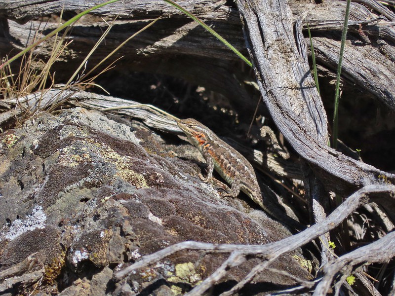
 Lizard hanging out near the campsite.

 Grouse
 The answer to the questions is yes bears do.
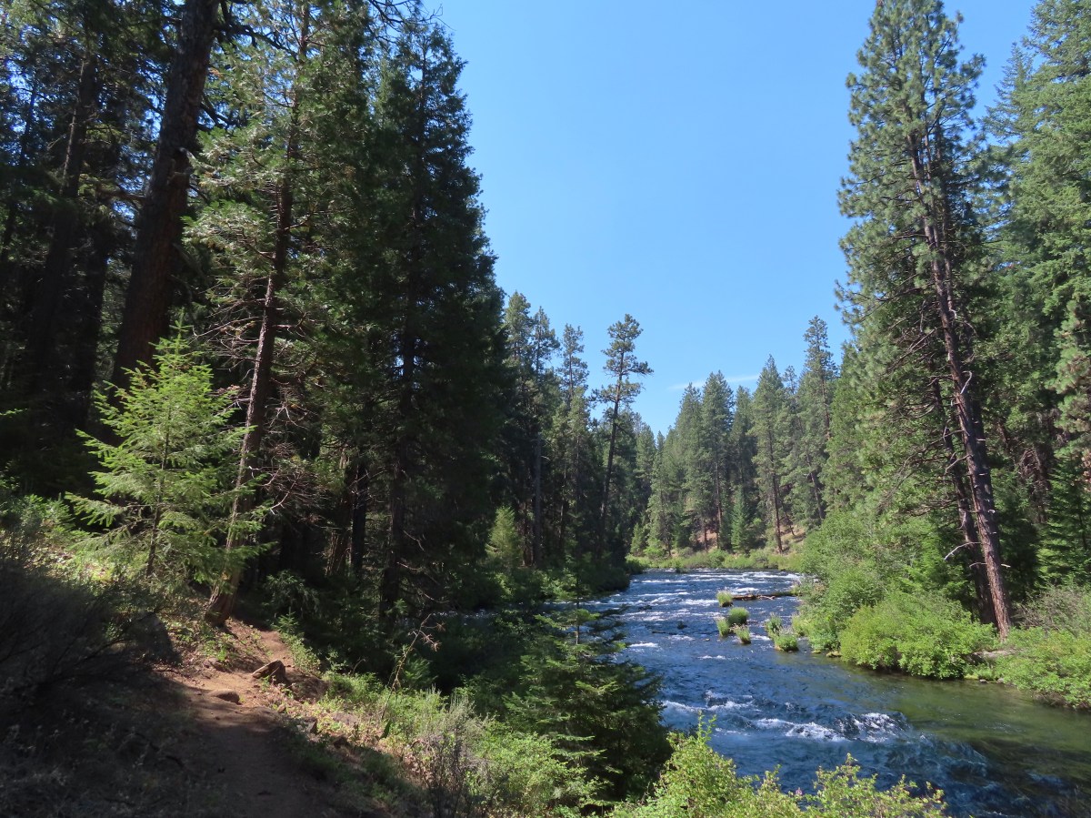
 The Metolius through the trees.
 Sagebrush mariposa lily. There also tire tracks in the trail behind.
 Recent brushing had been performed through this area.
 Looking up the end of Green Ridge.
 This large tree had been cut fairly recently.
 Flagging marking a reroute around a downed tree.
 Starting to get brushy.
 View across the river to the Warm Springs Indian Reservation.
 Flowers along the Metolius.
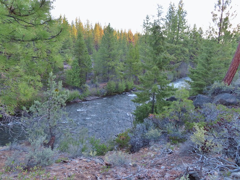
 The Whitewater River was behind the rock formation on the far side. The Whitewater River begins at the Whitewater Glacier on Mt. Jefferson and flows roughly 7.5 miles through the Warm Springs Reservation to the Metolius.
 More clear water.
 Fireweed
 Thimbleberries provided us with a few after dinner snacks.
 Hedgenettle
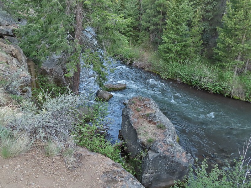
 The Shut-In Trail traveled right along the riverbank at times.
 There was a small set of boards nailed together to assist with crossing the sketchiest part, but they were just lying on the hillside and not anchored in any way.
 The Shut-In Trail from CR-64.
 CR-64
CR-64
 Frog on a skunk cabbage leaf. There were a few wet areas along the Shut-In Trail which meant a few mosquitos were present.
 The Sun going down as we approached camp.
 Pinedrops
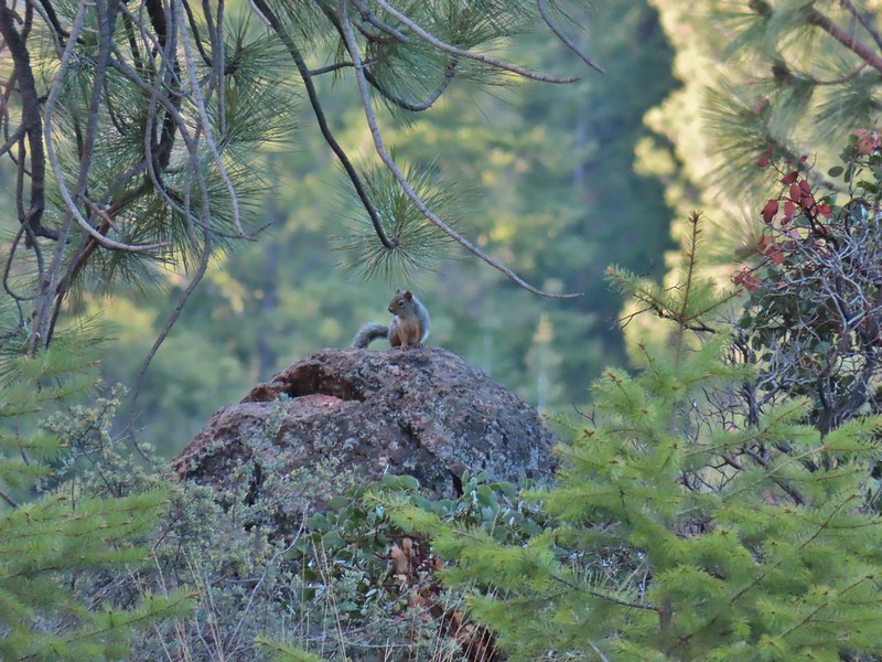
 Squirrel
 Bee sleeping on thistle.
 Large boykinia
 We t
We t Red admiral. As far as I know this is the first one of this species of butterfly that we’d seen.
 Common wood nymph
 Across from the Candle Creek Campground.
 Green Ridge through some smoke. A couple of new fires, one on the Warm Springs Reservation and one East of Eugene had started over the weekend.
 Love the colors of the Metolius.
 Skipper on a mariposa lily.
 Lower Bridge Campground is ahead to the left in the trees.

 Mt. Bachelor (
 The start of the Juniper Loop.
 Similar to the Metro Parks we’ve recently visited there were small maps on the trail pointers here.
 Middle and North Sister
 Blurry shot of the deer.
 Mt. Bachelor, Broken Top, and the Three Sisters.
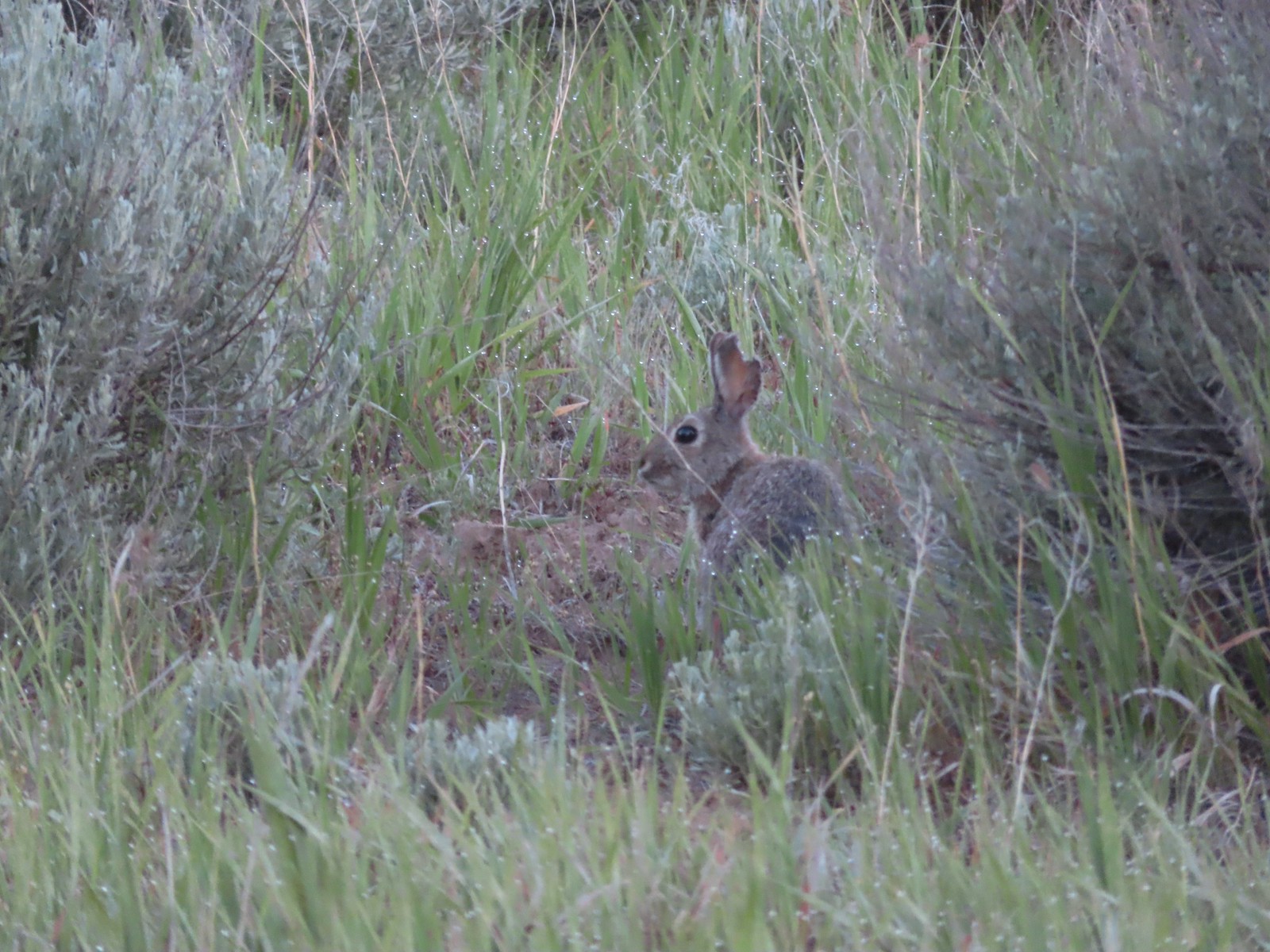 Rabbit
 Mt. Bachelor and Tumalo Mountain (
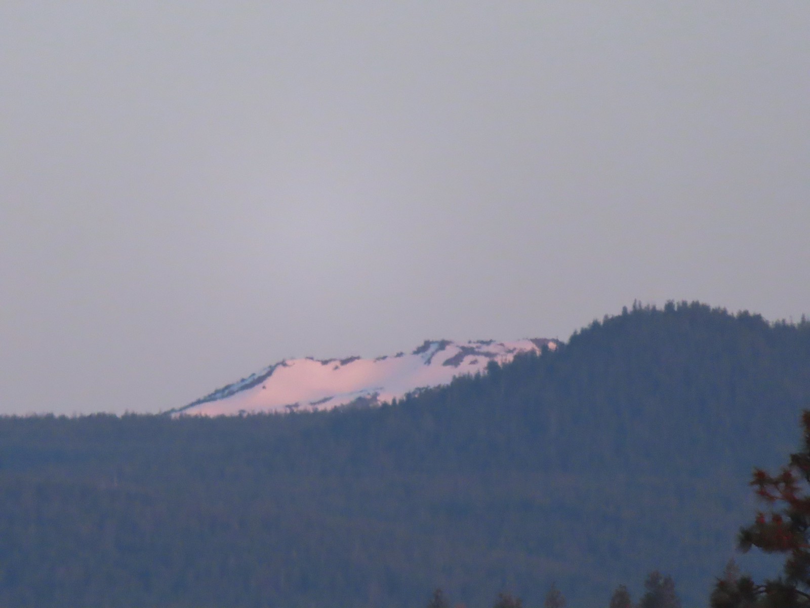 Ball Butte
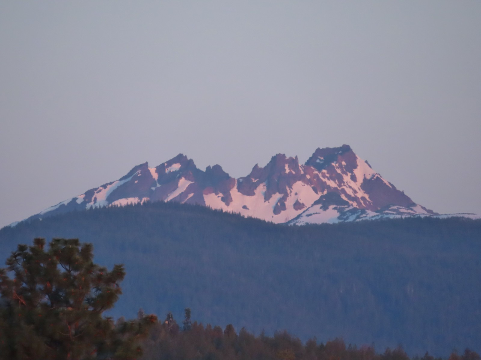 Broken Top (
 South Sister (
 Middle and North Sister
 We passed by the shared Juniper/Sage Flat Trail and continued on the Sage Flat Loop.
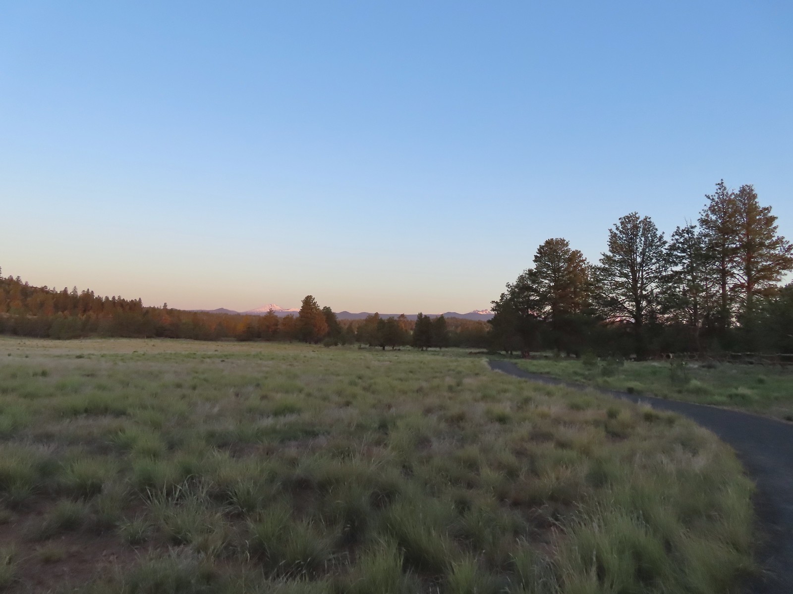 Sageflat Loop
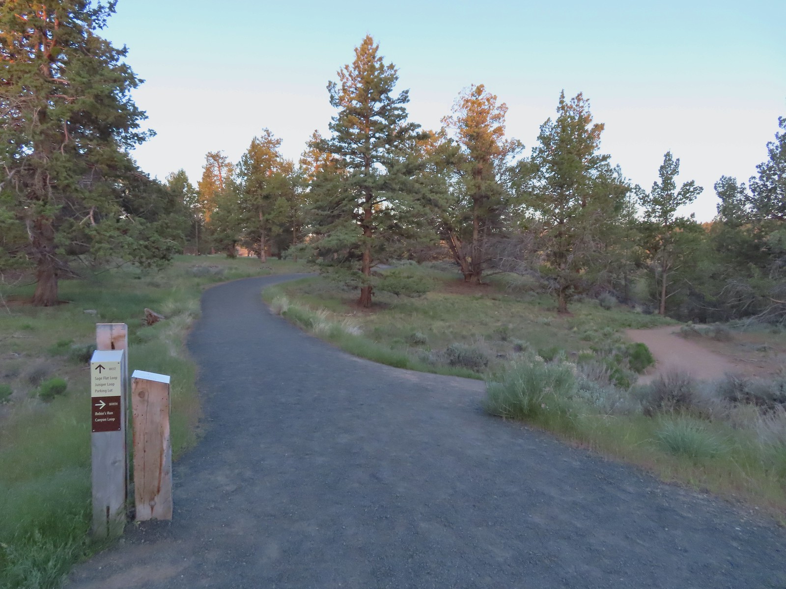
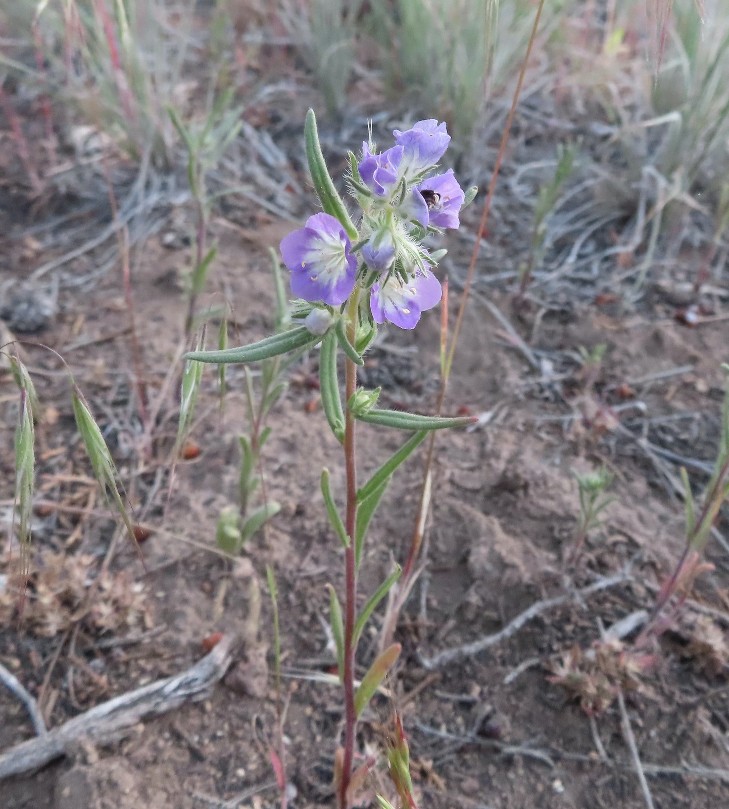 Threadleaf phacelia
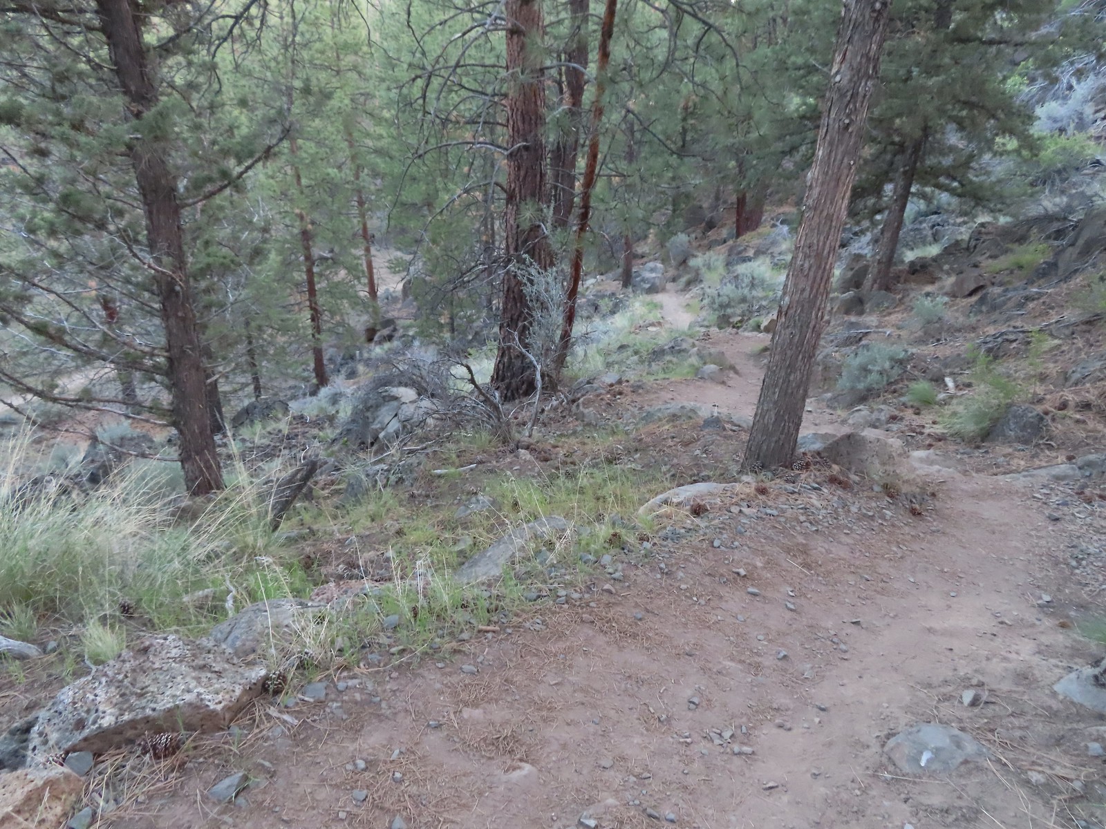
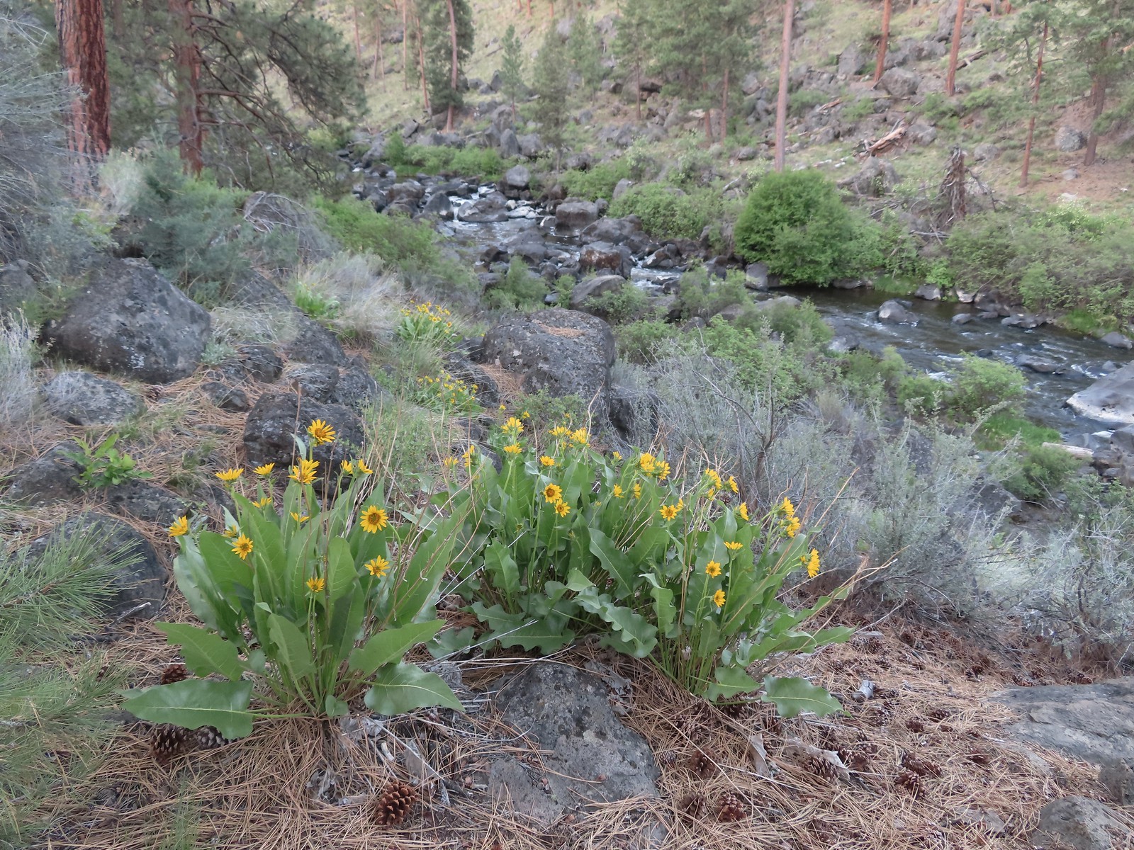 Balsamroot along the Deschutes.
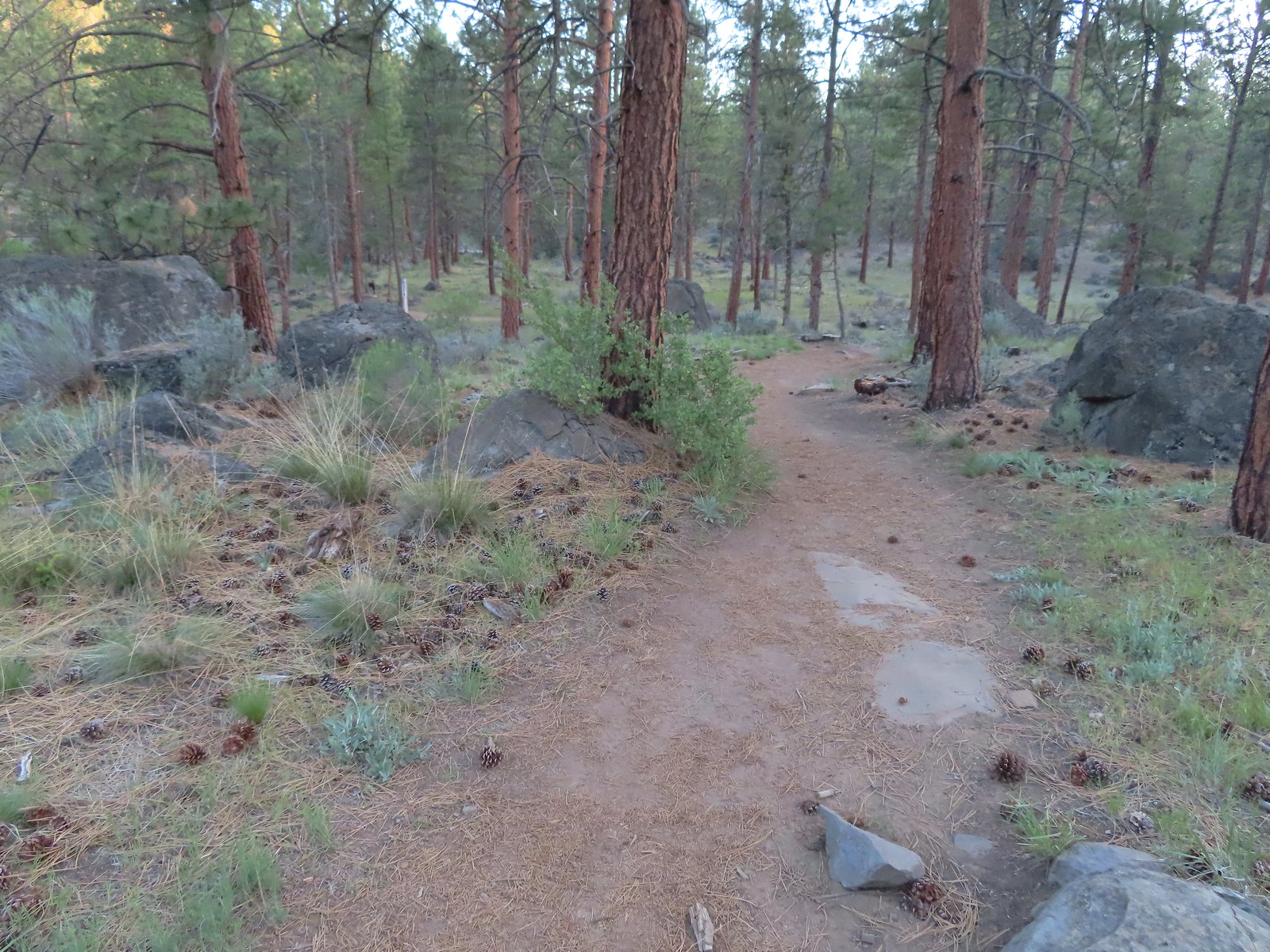


 Robin
Robin Longhorn plectritis
 Blackheaded grosbeak
 Heather waited below while I climbed the outcrop.
 The bench on top.
 The top of the outcrop.

 Western stoneseed
 Larkspur
 I spotted something head into the river from the grass on the near bank here.
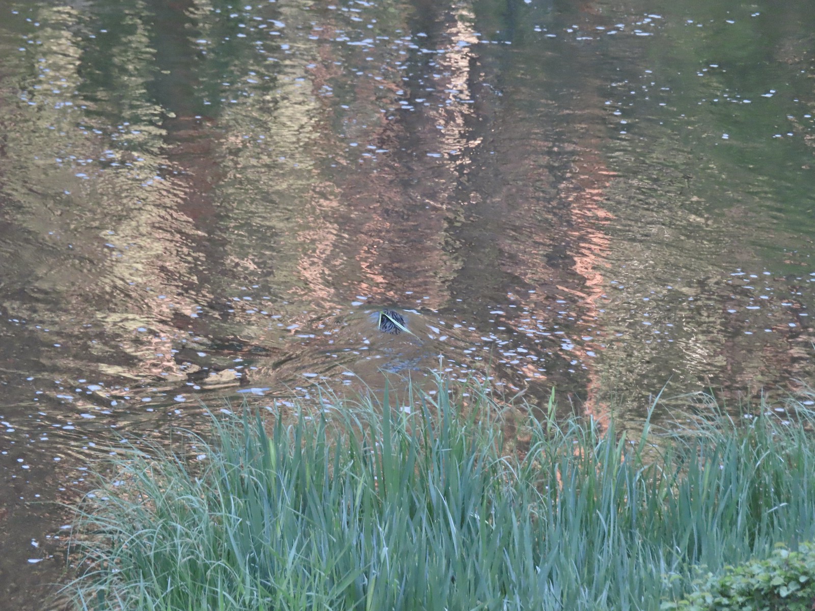 I spotted the grass moving before the animal below which turned out to be a beaver.
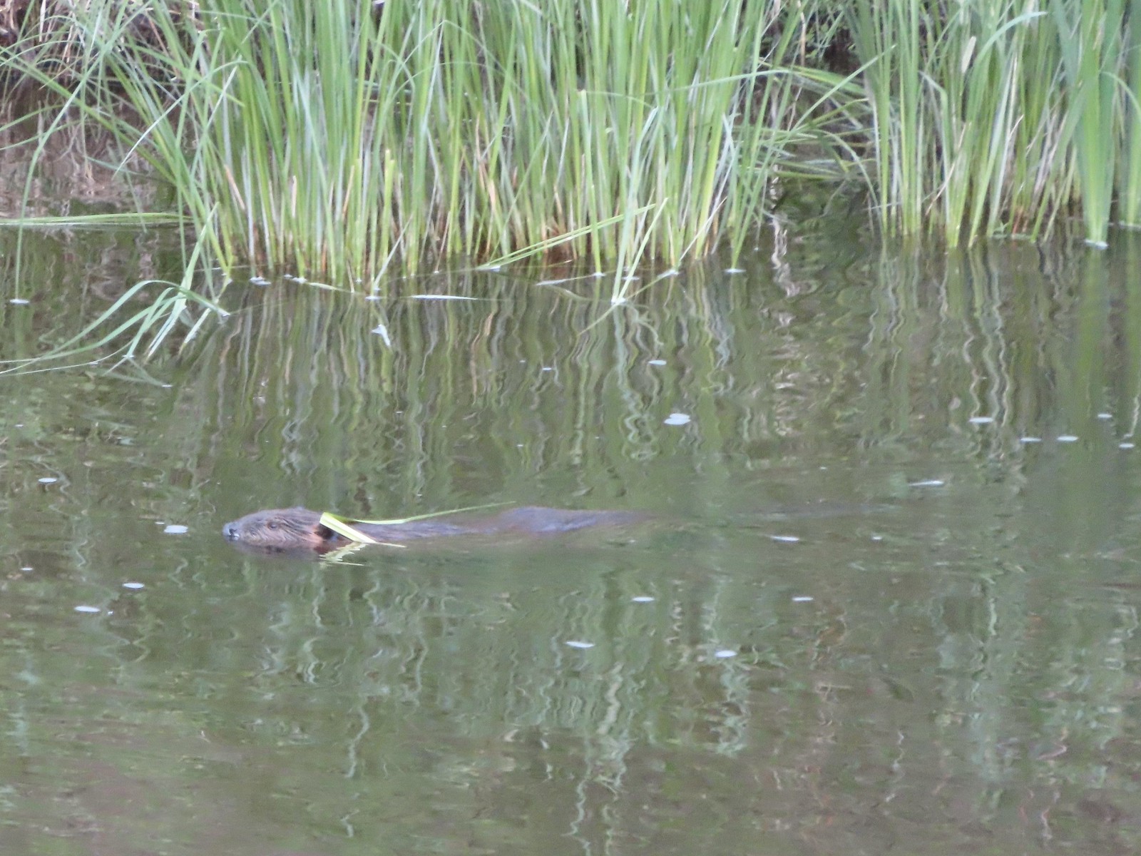 Beaver in the Deschutes River.
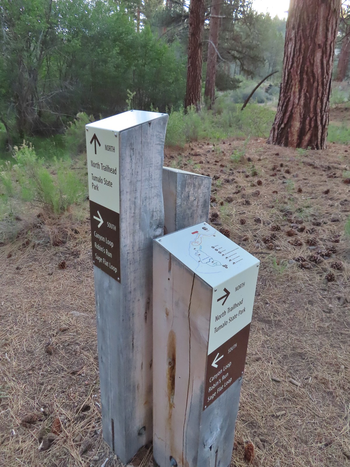 We followed the pointer for Tumalo State Park.
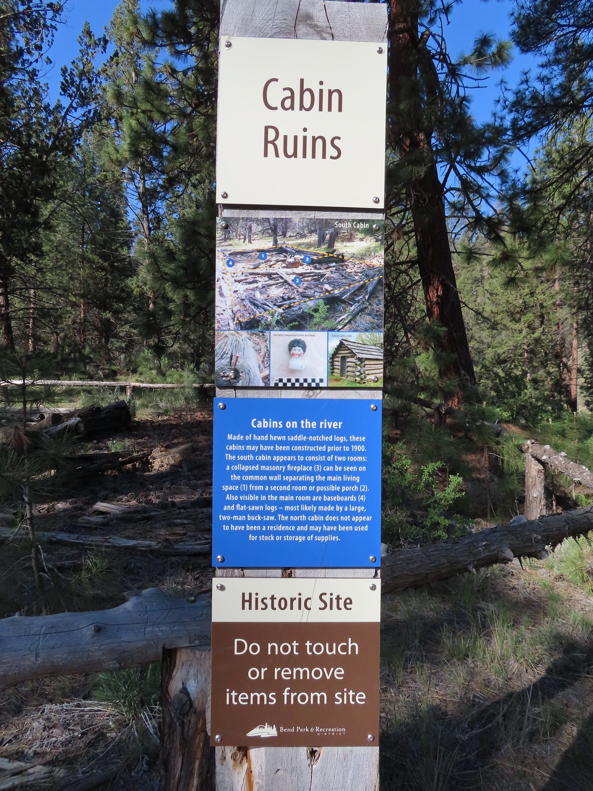
 Cabin ruins
 Western wallflower
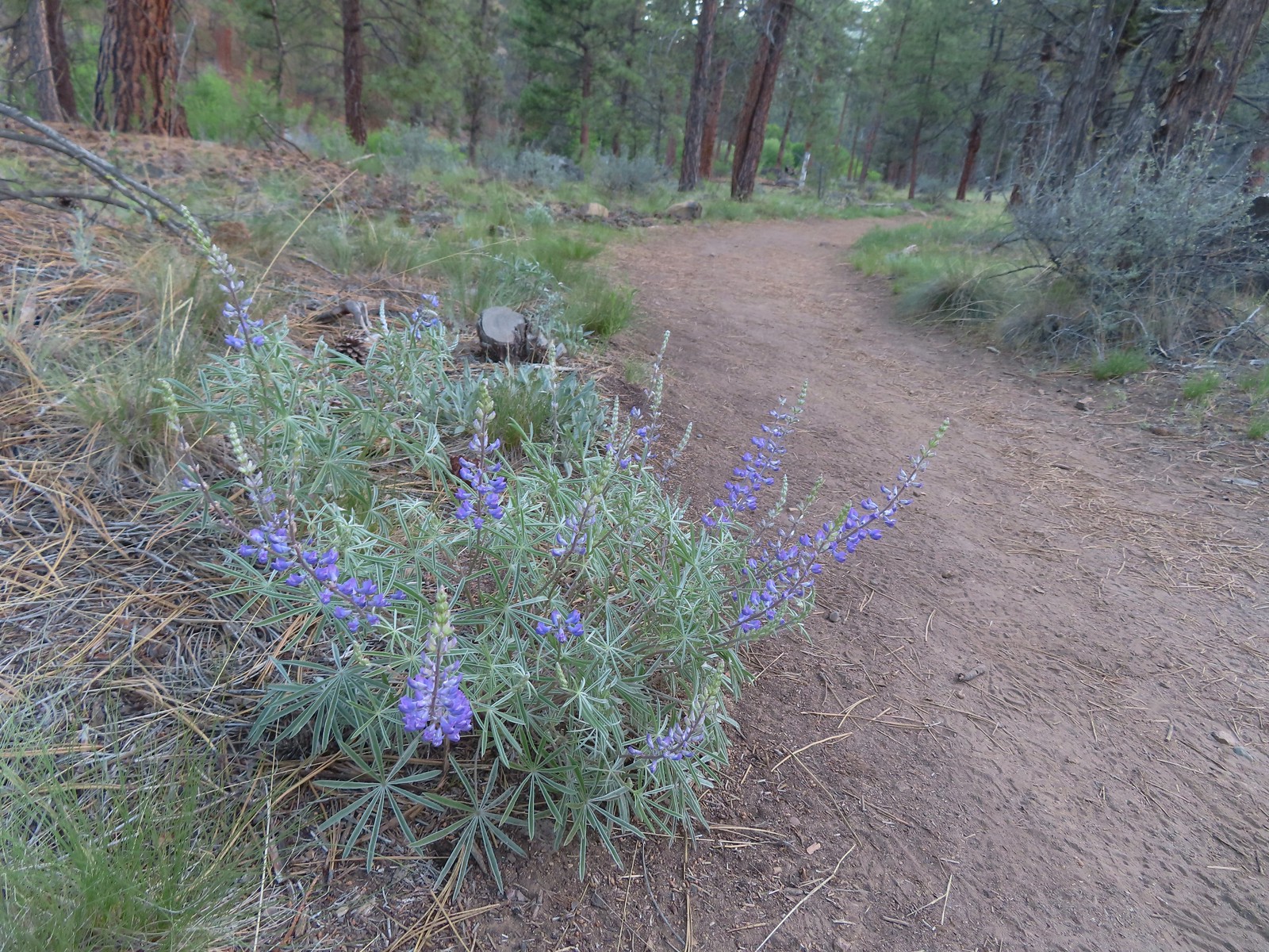 Lupine
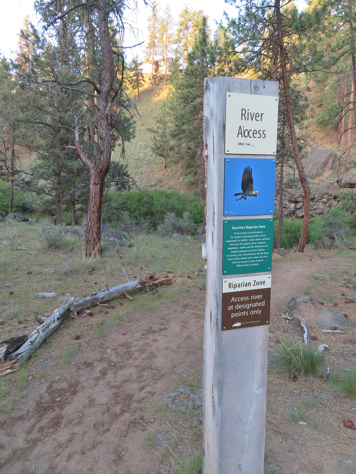
 Another river access point.
 Rockcress, possibly sicklepod.
 The northern boundary of the Riley Ranch Nature Reserve.
 Threadleaf phacelia
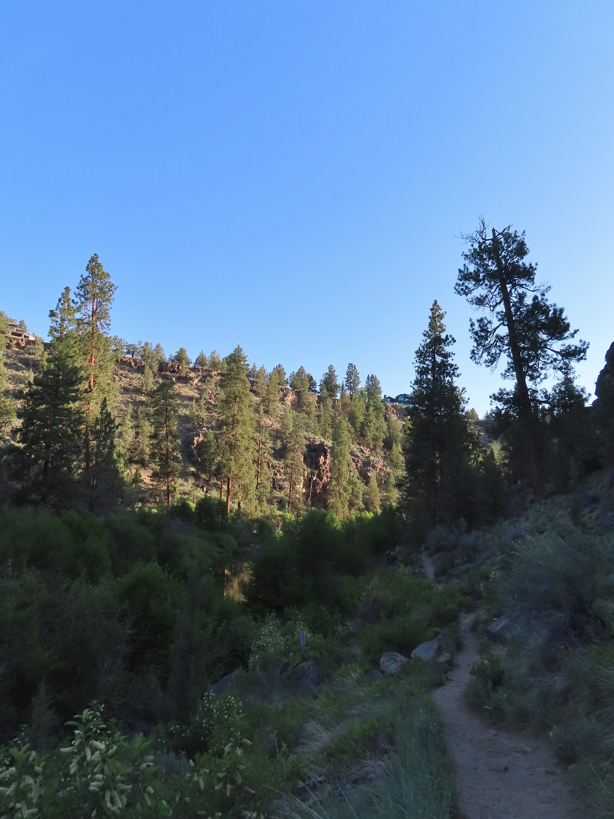
 Tumalo Creek (
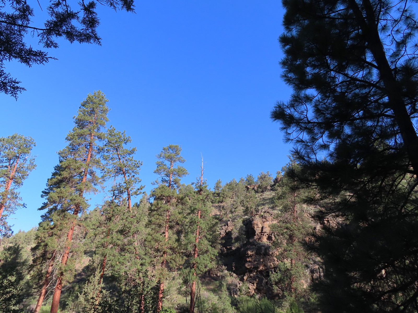

 Crossing into Tumalo State Park.
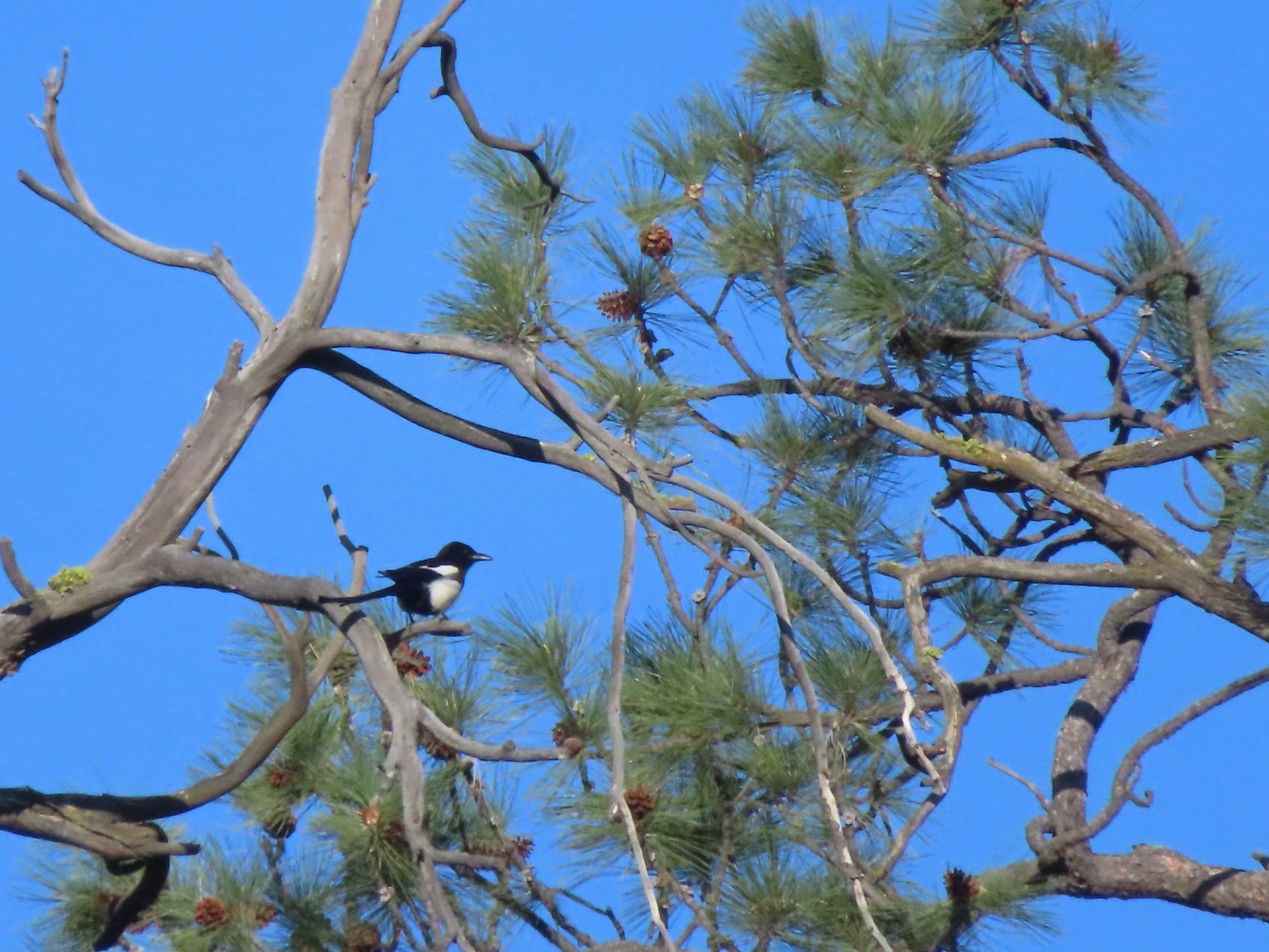 Magpie
 Paintbrush
 Mallards
 Penstemon
 A quarter of a mile from the day use area we crossed a road leading to a private bridge crossing the river.
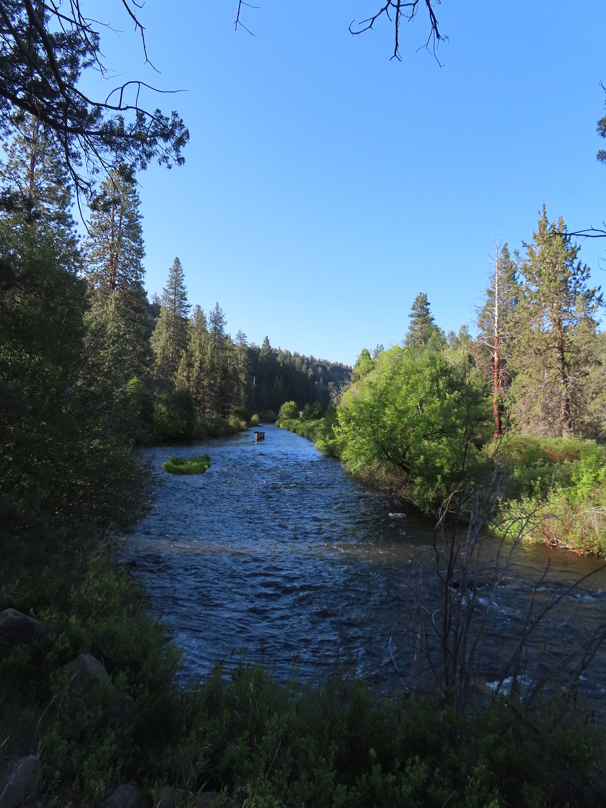 Remains of another bridge in the river.
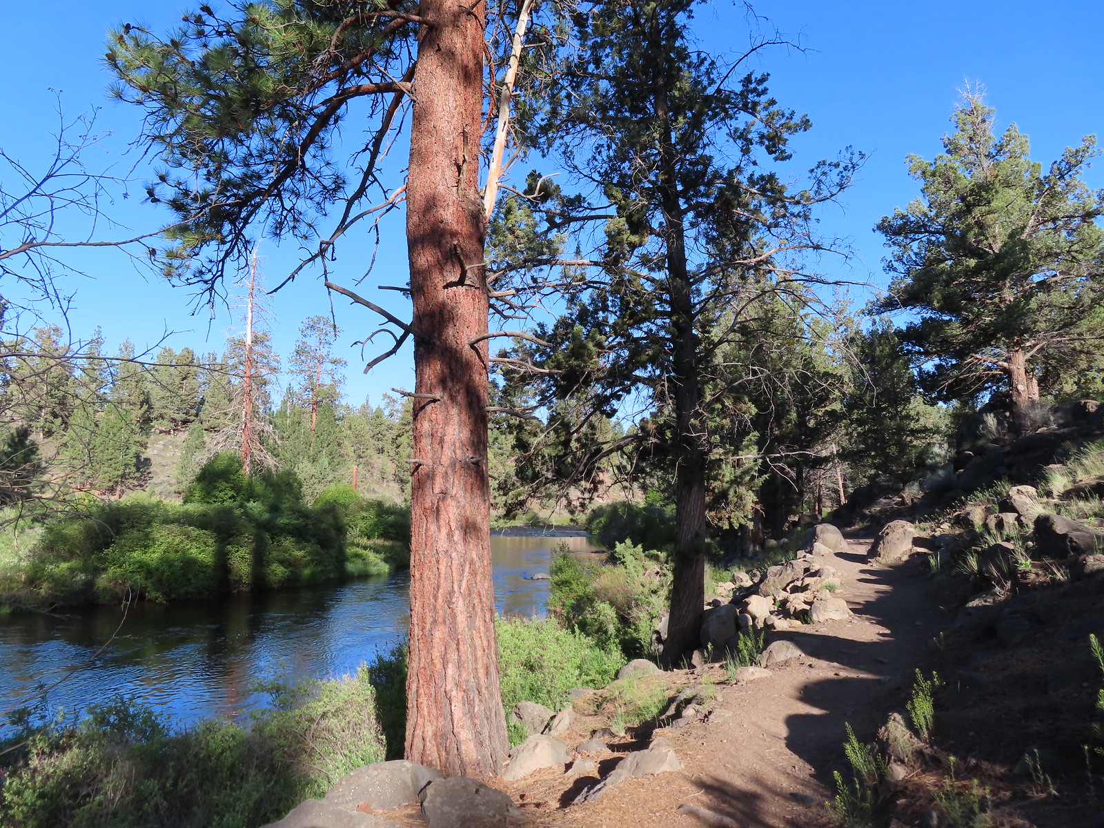
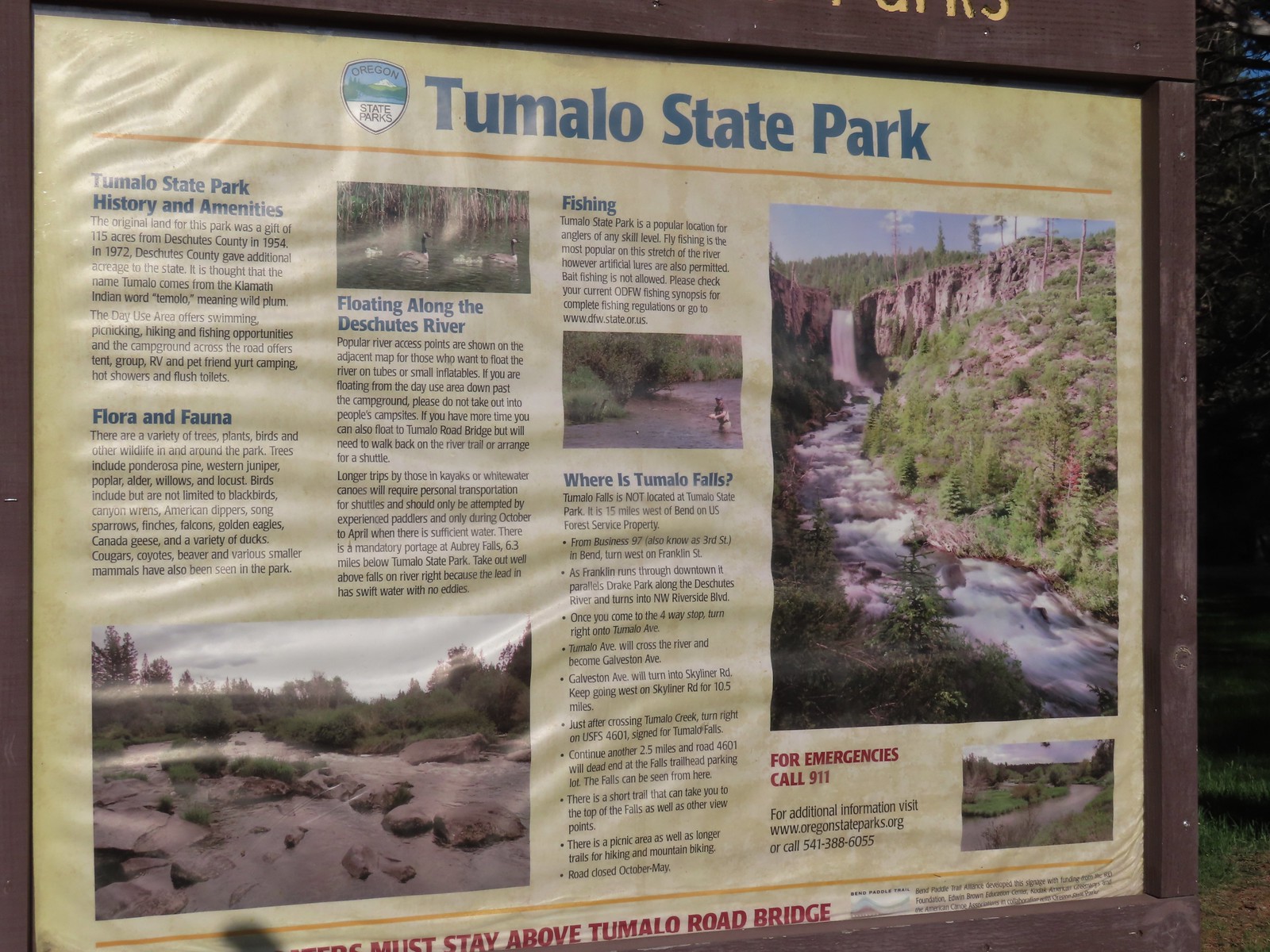
 Tumalo State Park Day Use Area
 Deschutes River at the day use area.
 Kingfisher on the bridge remains. (A bit blurry due to being a long way off.)
 A swallow and a pygmy nuthatch.
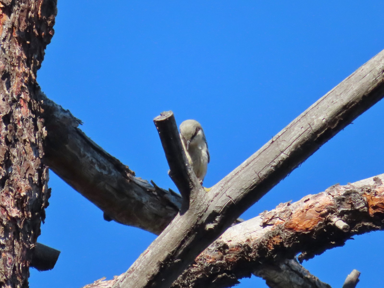 Pygmy nuthatch
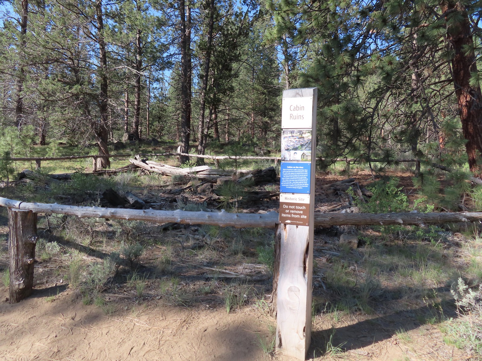
 Bench along the Canyon Loop.
 Northern flicker
 We were distracted enough by the runners that we failed to notice the deer bedded down to the right of the trail. You can see its ears sticking up here.
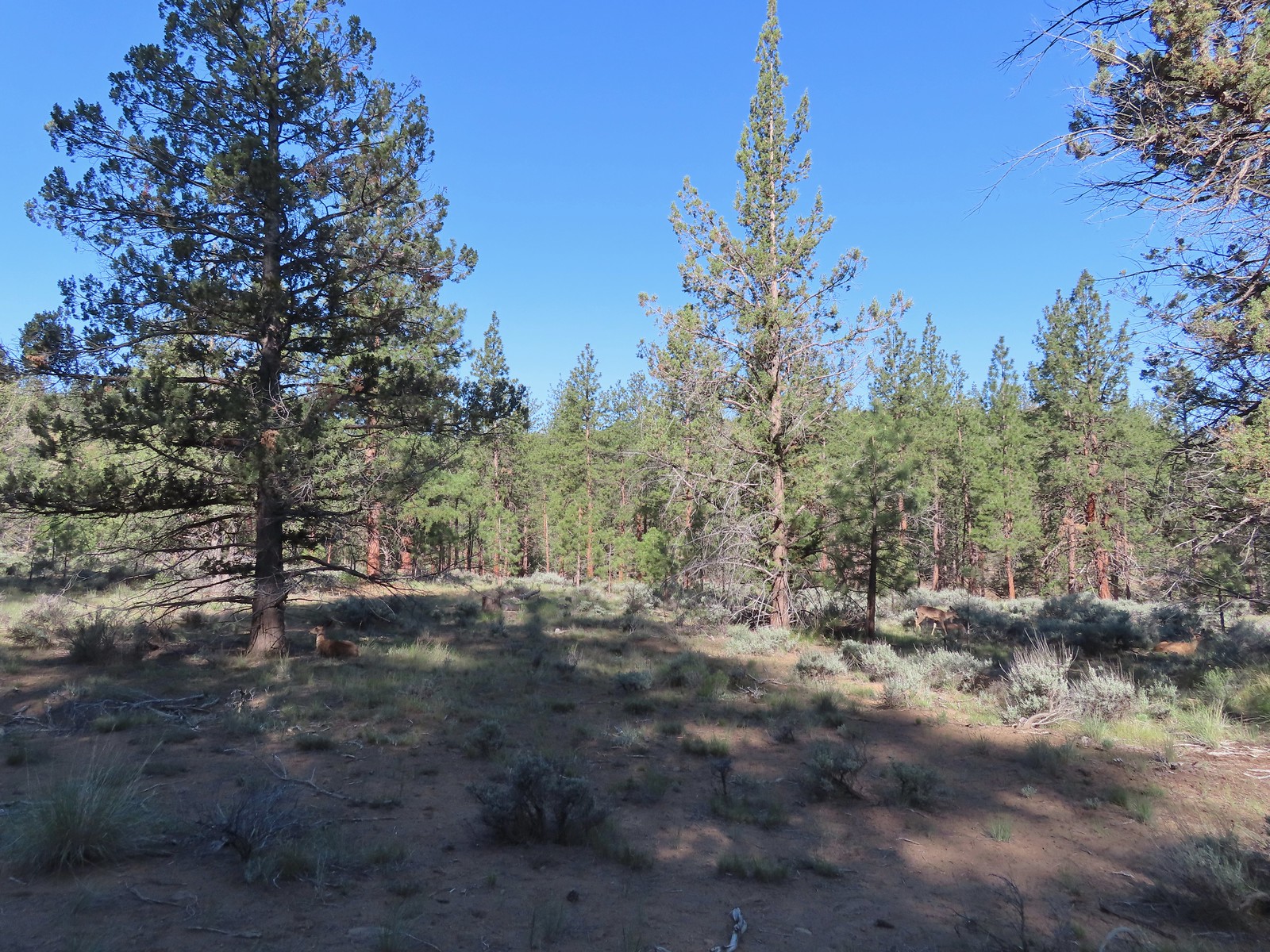 There were at least four deer hanging out here.
 The Sage Flat Loop Trail.
 Spur to the Canyon Overlook.
 Death camas
 Mt. Bachelor and Tumalo Mountain
 Mt. Jefferson
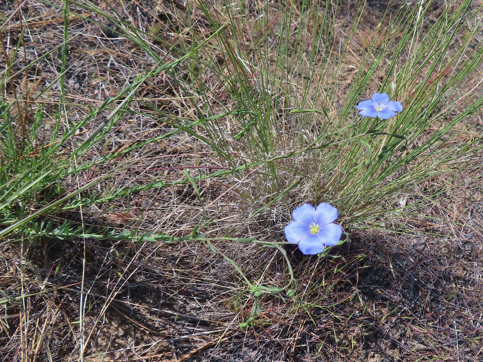 Lewis flax
 Marker for the Sage Flat Overlook.
 Looking back at where the Sage Flat Overlook was.
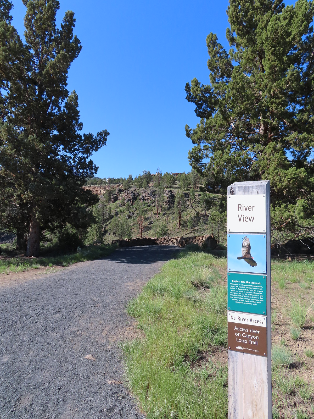

 Lizard near the River Viewpoint.
 The Cascade Mountains
 Black Crater (
 Finishing up the Juniper Loop.
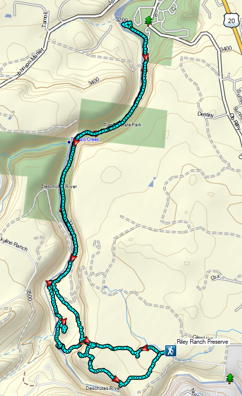


 Mt. Bachelor
 The Three Sisters and Broken Top
 Mt. Bachelor via the Nikon.
 Heather watching the show taken with the Canon.
 The Three Sisters with the Canon.
 Canon
Canon Nikon
Nikon Mt. Bachelor (
 Canon shortly before the Sun became visible.
 Canon shortly before the Sun became visible.
 The Three Sister just before sunrise with the Nikon.
 The Three Sister just before sunrise with Heather’s phone.
 Canon moments before sunrise. A line of wildfire smoke on the horizon gave it a red tint.
 Canon
Canon Canon catching the Sun.
 Canon
Canon The Three Sisters and Broken Top (Nikon)
 South Sister (
 Middle and North Sister (Nikon)
 Broken Top (
 Aline glow hitting the mountains. (Canon)
 South Sister (Canon)
 Middle and North Sister (Canon)
 Broken Top (Canon)
 Mt. Bachelor (Canon)

 Mt. Scott to the left and Mt. Thielsen to the right.
 Grouse
 Chipmunk
 Mt. Bachelor as we arrived back at the snow-park.


 North Sister in the distance.
 Penstemon
 Chocolate lily
 Sand lily
 Paintbrush
 Balsamroot
 A Penstemon
 Squirrel!

 The penstemon really liked the cliff area.


 Mt. Hood sighting.
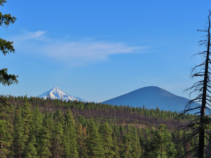 Mt. Jefferson and Black Butte
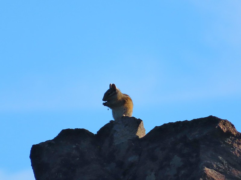 Chipmunk
 White breasted nuthatch
 Golden mantled ground squirrel
 Broken Top and the Three Sisters (bonus points for spotting the golden mantled ground squirrel)
 Lewis flax at the overlook.
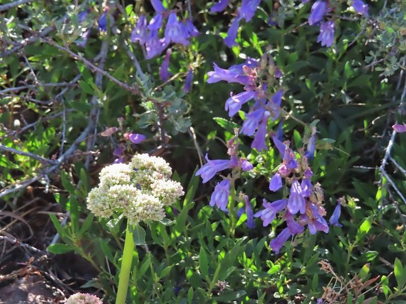 Buckwheat and penstemon
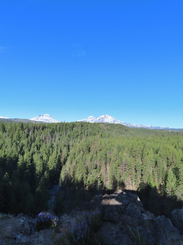 Whychus Creek below with the Three Sisters on the horizon.
 Tam McArthur Rim (
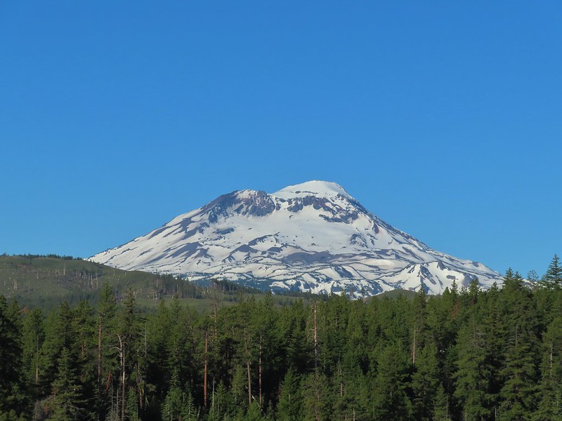 South Sister
 Middle and North Sister
 Mt. Washington
 Three Fingered Jack
 Mt. Jefferson
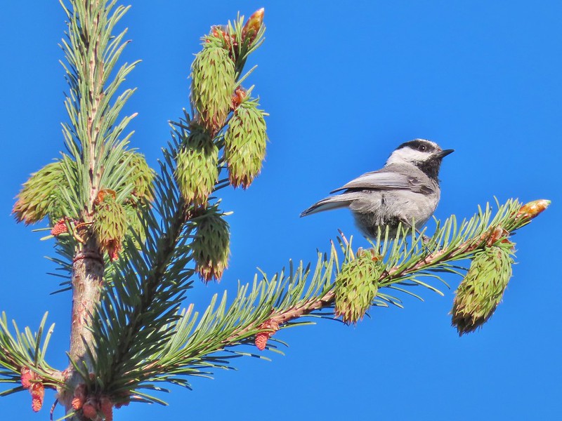 Chickadee

 Interpretive sign along the trail.
 Mt. Washington, Three Fingered Jack, Mt. Jefferson, and Black Butte
 Kiosk and bench at the trailhead.
 Tent caterpillars (and the red gate)
 Mt. Washington and Black Butte (
 Broken Top, The Three Sisters, Black Crater (
 Whychus Creek was hidden by trees for the most part.
 Balsamroot
 Lupine
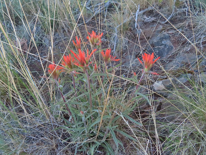 Paintbrush
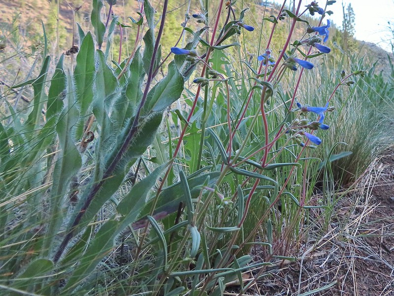 A Penstemon
 Western stoneseed
 Sedum leibergii -Leiberg’s Stonecrop
 Spreading stickseed
 Western wallflower
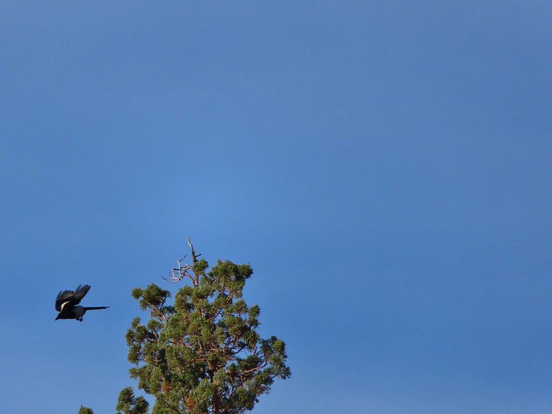 Magpie playing hard to get.
 Spotted towhee
 Black-headed grossbeak
 Ochre ringlet
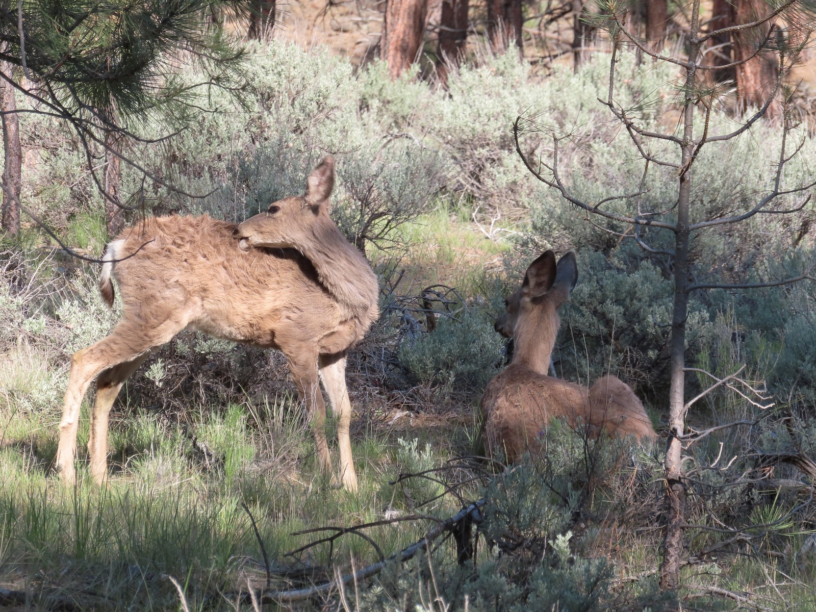
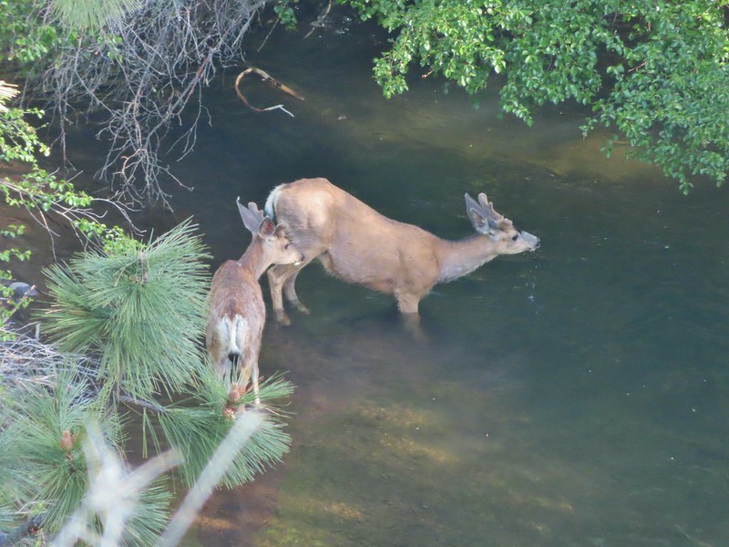 Pair of bucks in Whychus Creek
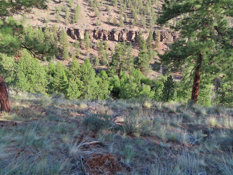


 Chokecherry
 Star-flower false solomonseal
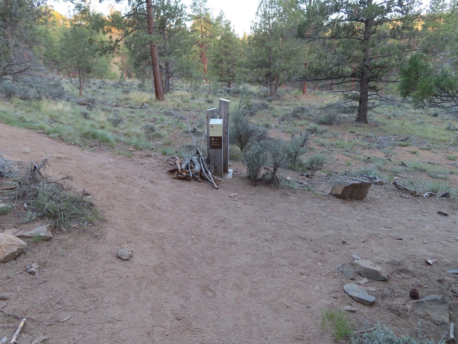
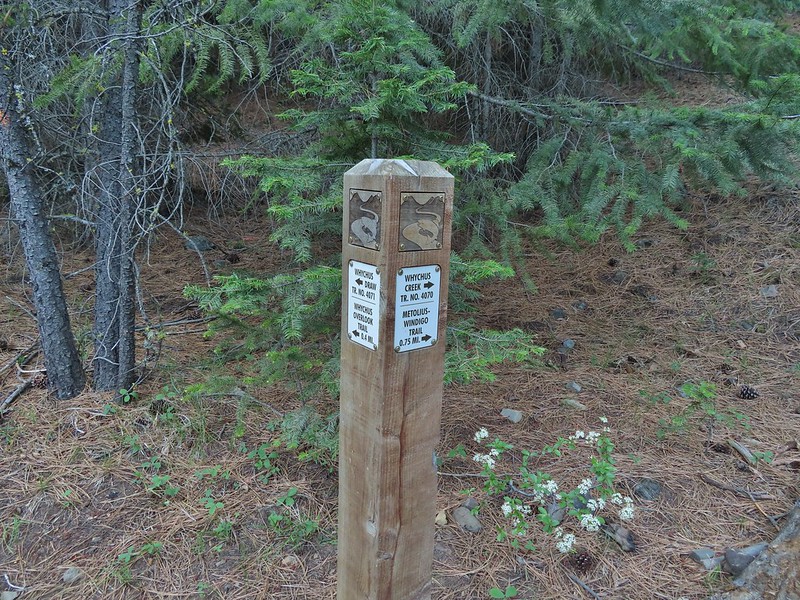
 Trail junction at the 0.8 mile mark.
 Spider on a wallflower.
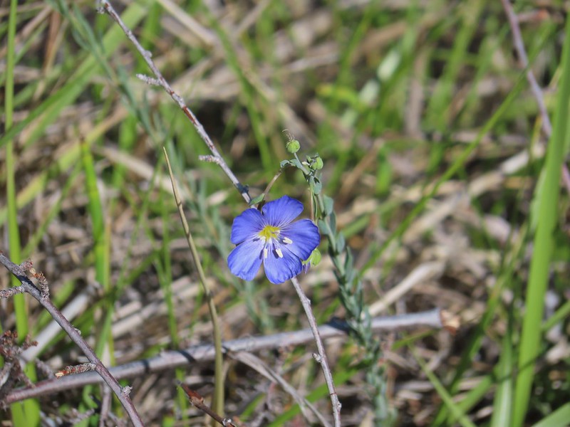 Lewis flax
 Heuchera cylindrica -roundleaf allumroot

 Oregon sunshine
 Buckwheat and penstemon
 Sign post for the viewpoint.
 Heading for the rock outcrop/viewpoint.
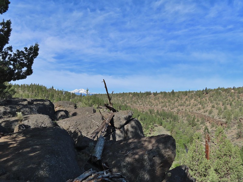 Middle and North Sister with Whychus Creek below.
 A monkeyflower
 Sand lilies
 Trail sign in the distance for spur trail to the Santiam Wagon Road.
 Death camas
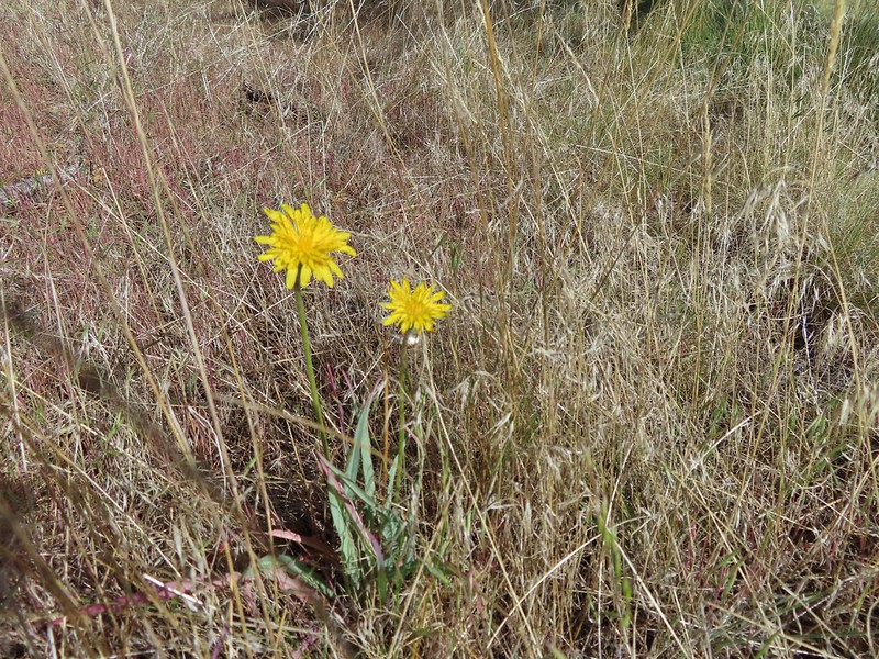 Sagebrush false dandelions
 Pinion jay
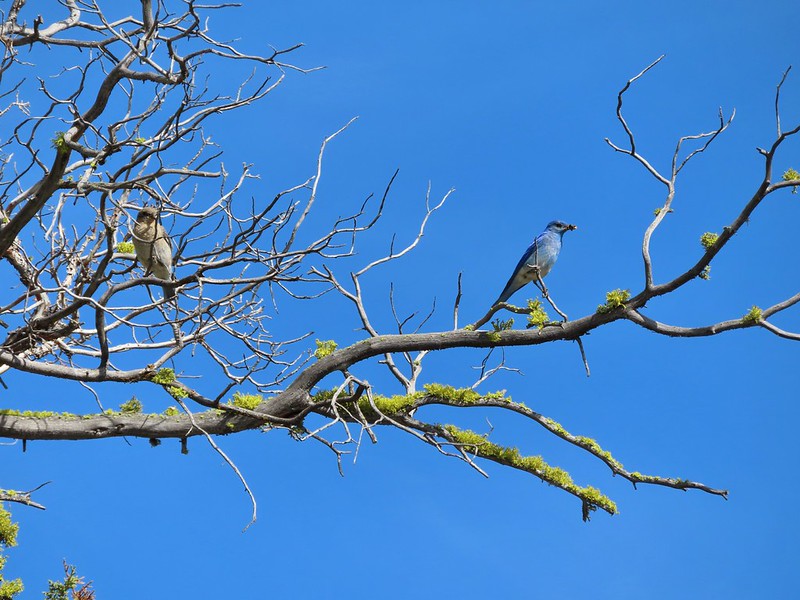 Mountain bluebird pair
 Mourning dove
 unidentified little songbird.
 Lizard
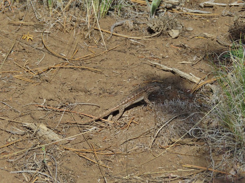 Second type of lizard
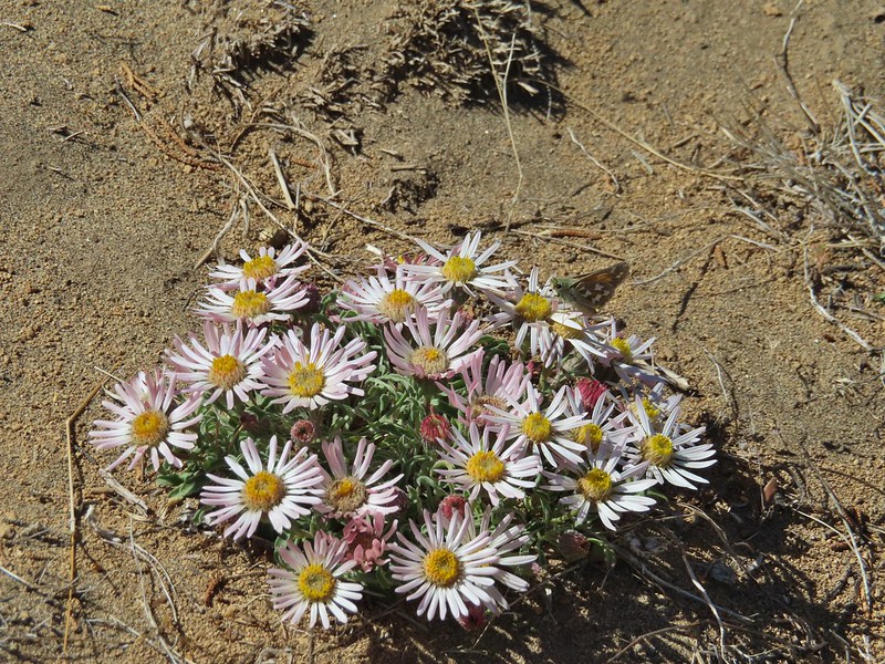
 Showy townsendia

 Looking back up the dirt access road to the North Sister, Mt. Washington and Black Butte
 The trailhead signboard.
 Buckwheat
 Rough eyelashweed
 Yarrow
 Fiddleneck
 Largeflower hawksbeard
 Purple cushion fleabane
 Oregon sunshine
 Blue mountain prairie clover
 Lewis flax
 Lupine
 Bearded hawksbeard
 Haven’t id this one yet.
 The Three Sisters, Belknap Crater and Mt. Washington with some dancing clouds.
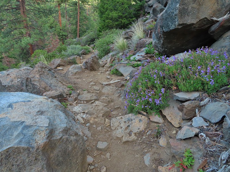
 Whychus Creek Canyon
 Love the different rock formations in the canyon.
 Catchfly
 Balsamroot
 Paintbrush
 Pretty sure this side creek was dry on our previous visit.
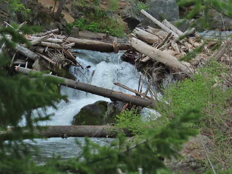
 Whychus Creek at the ford.
 Alder Springs
 Columbine
 A clarkia, possibly Lassen
 Threadleaf phacelia
 Unknown

 Creek dogwood and a beetle covered in pollen
 Grand Colloma
 Deadly nightshade
 Rose with crab spider


 Dragon fly
 Confluence of the Deschutes (left) and Whychus Creek (right).
 Bald eagle

 Cedar hairstreak
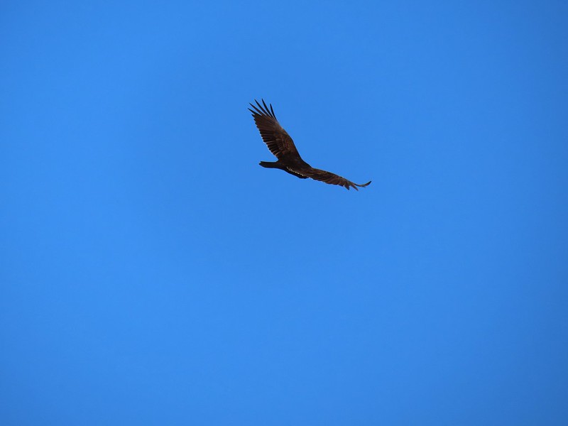 Turkey vulture
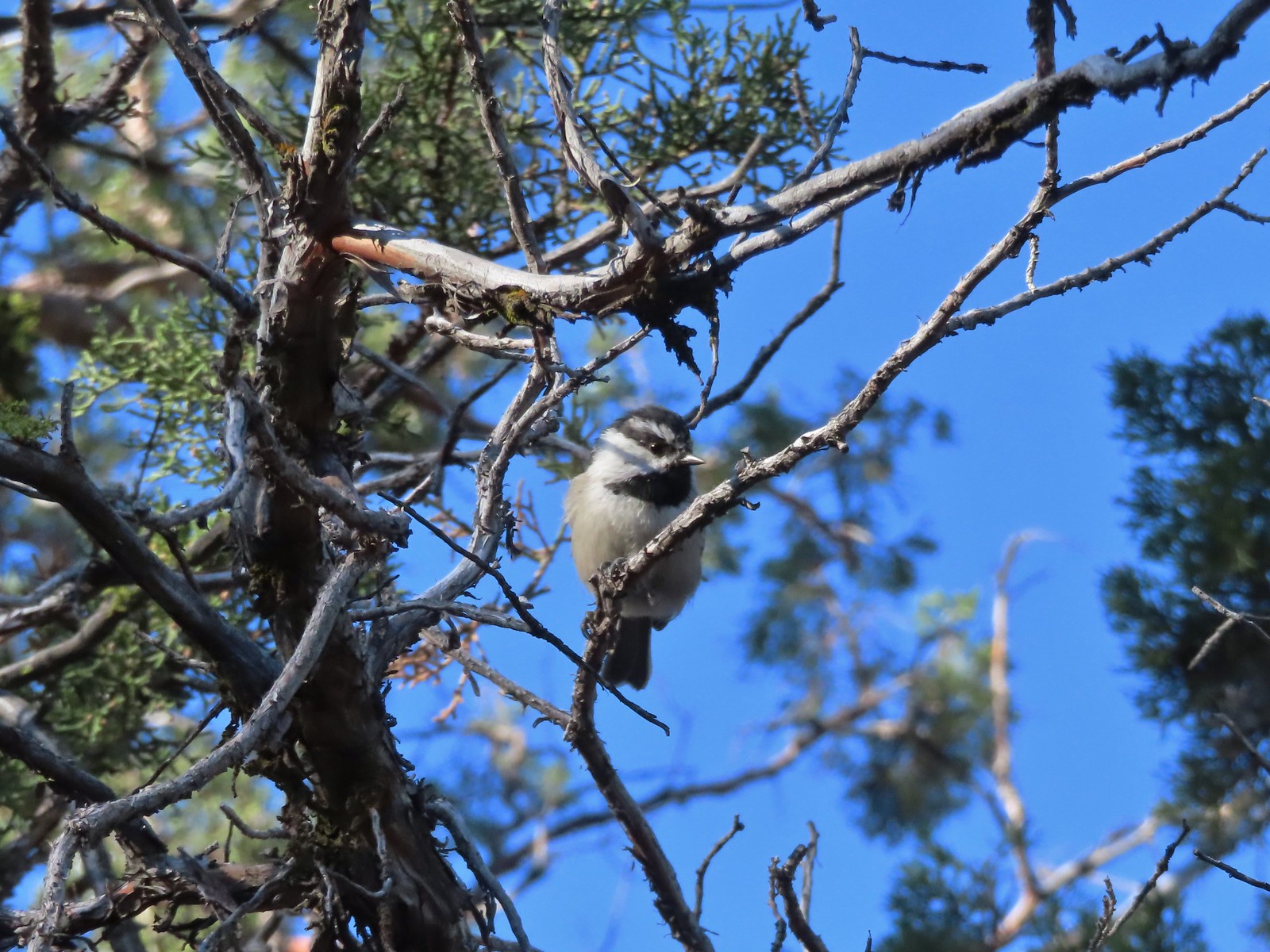
 Mountain chickadee
 Trailhead on McGrath Road.
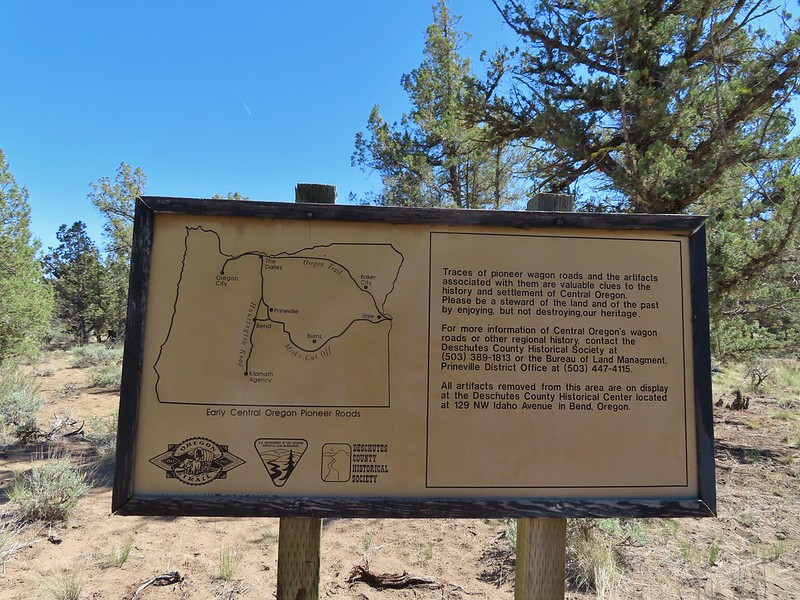
 A 300+ year old juniper named an Oregon Heritage Tree
 Sagebrush, juniper and lava – my childhood 🙂
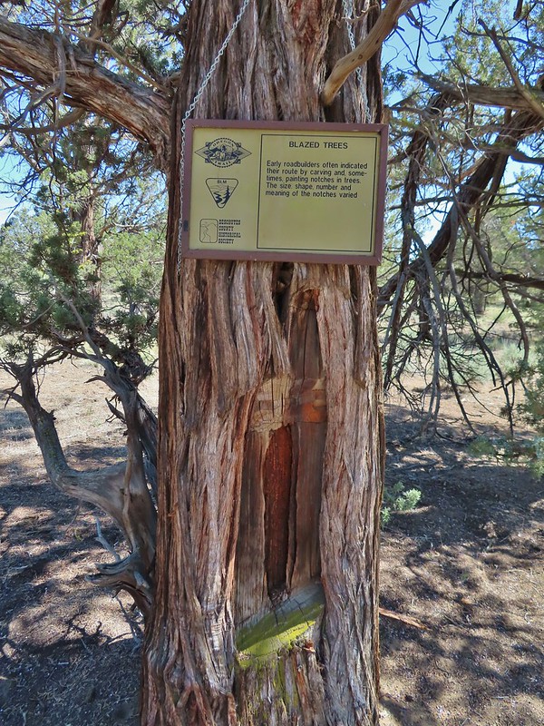 Tree blaze
 Buckwheat
 Ruts along the wagon road.
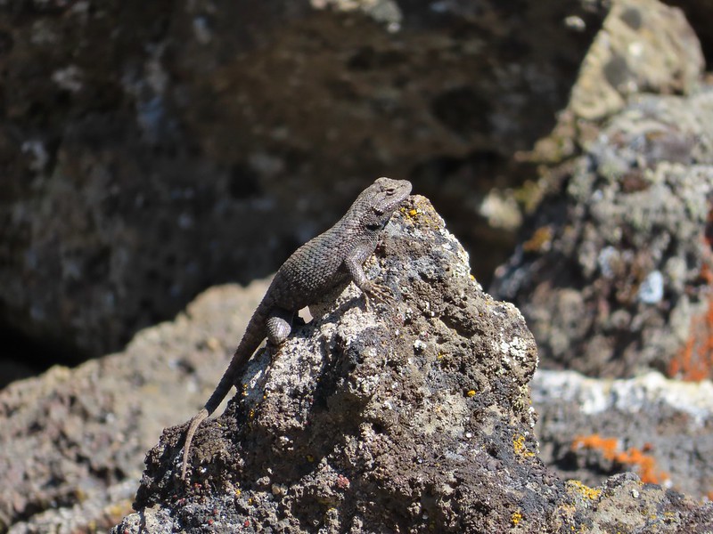
 Skipper on Showy townsendia.
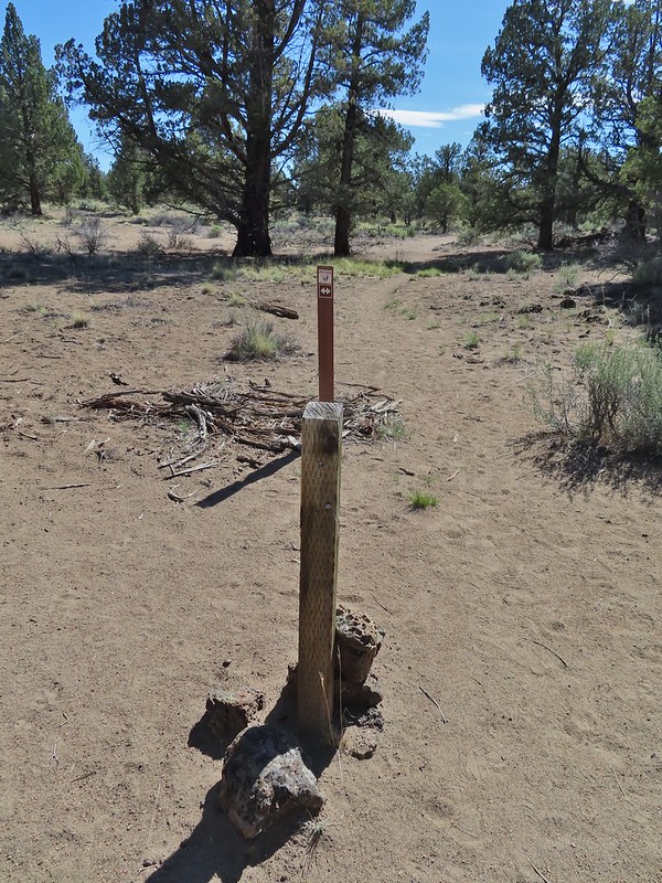 Post marking the relic fence line and turnaround point.
 An old fence post and barbed wire.
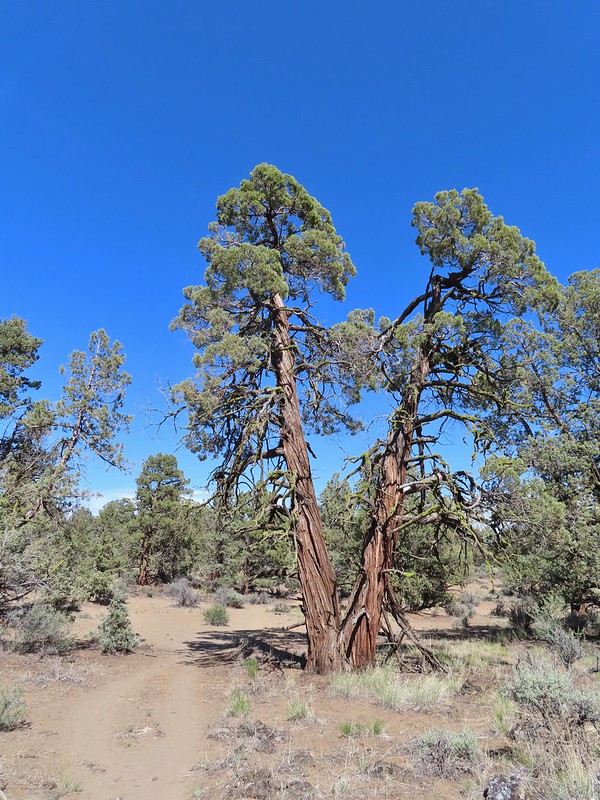 Junipers are some interesting trees, they come in all shapes and sizes.

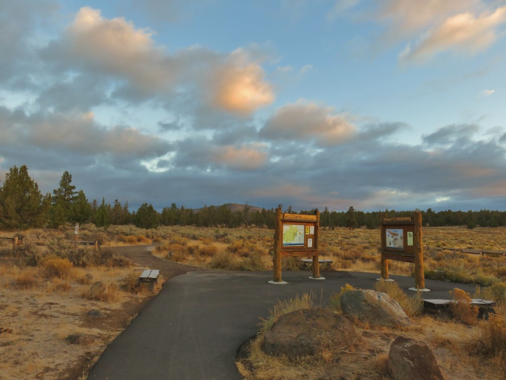 Cline Buttes from the Maston Trailhead.
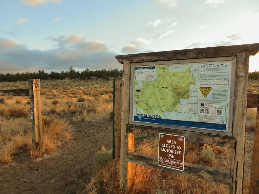

 Interpretive sign at the Maston Trailhead telling the story of the settlers.
 Stone foundation of one of the abandoned buildings along the Settlement Trail.
 Typical sign at a junction. Not all of the junctions had signs and not all of the signs identified which trail/junction it was so having a copy of the trail system map is a really good idea.
 This one may be a sparrow of some sort, it was signing quite a bit.
 Possibly another sparrow or a finch or something else.
 Maybe a bluebird?
 Wildcat Canyon Trailhead off to the right.
 I managed to snap one photo and of course the camera focused on said juniper instead of the rabbit beyond.
 Wildcat Canyon on the right joining the Deschutes River Canyon
 The Deschutes River near where the canyons meet.
 Grizzly Mountain in the distance beyond the Deschutes River.
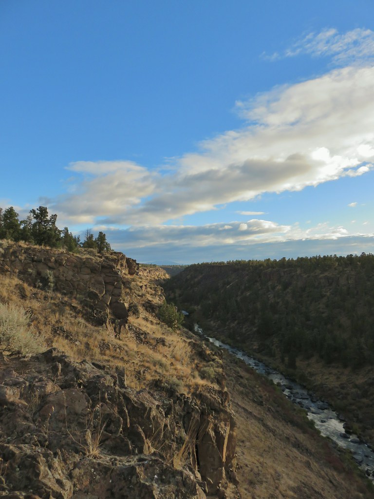 Another of several viewpoints along the rim.
 Some Fall color along the Deschutes River.
 Rock dove
 A viewpoint along the Rockbar Trail.
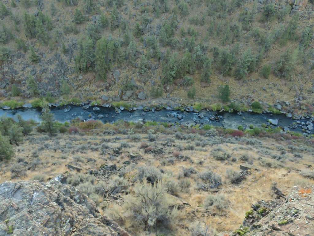
 Looking south up the river canyon.
 A calm pool along the Deschutes.
 I could see this one, a Stellar’s jay.
 Coming up to the road.


 This was Junction 2 (one of the junctions with an identifying sign). We stayed right on the Headgate Trail here.
 Tam McArthur Rim is left center with South Sister in the center and North Sister to the right center.
 Heather and Dominique on the Maston Trail.
 Coming up on the Settlement Trail.