We kicked off our 2021 hiking year by revisiting the Banks-Vernonia State Trail. We had run the entire trail in April 2014 as part of an ill fated marathon and I had hiked a short section between the Buxton Trestle and Manning Trailhead in April 2016 while Heather ran a half-marathon (post). We had used the marathon as our “hike” to check off hike #23 in Sullivan’s “100 Hikes/Travel Guide Oregon Coast & Coast Range”4th edition, but the Banks-Vernonia Trail was only part of a longer lollipop loop through L.L. Stub Stewart State Park that he describes. With this visit we planned on doing the rest of his described hike as well as continuing on to the Tophill Trailhead where we plan to someday start another section hike of the trail.
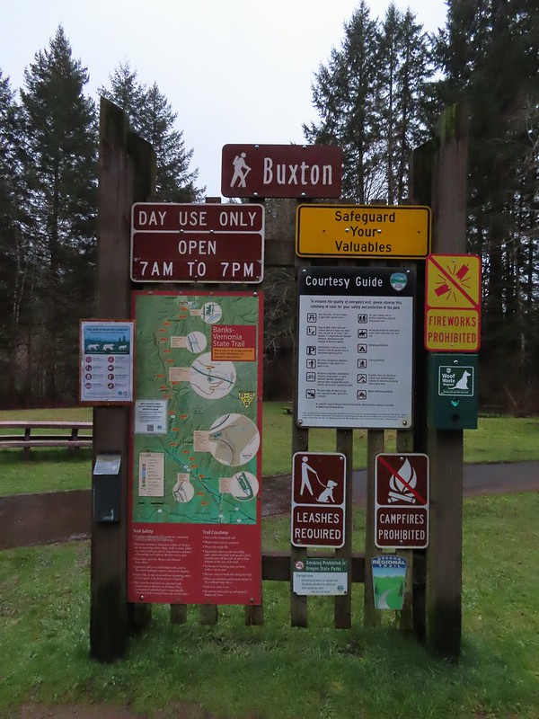
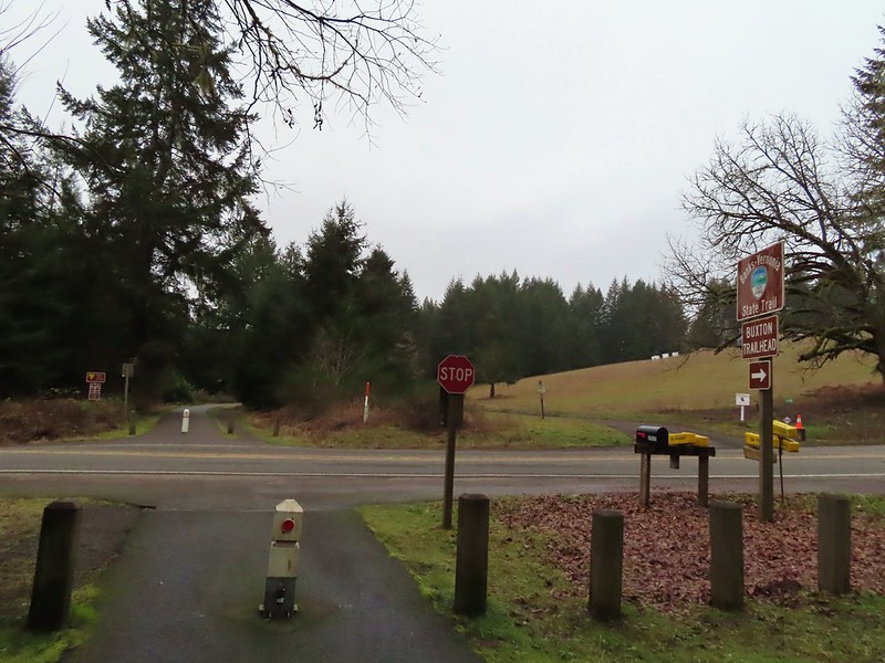
We began our hike at the Buxton Trailhead where I had started my 2016 hike as well.
From the far end of the parking lot we took a path down to Mendenhall Creek below the Buxton Trestle.


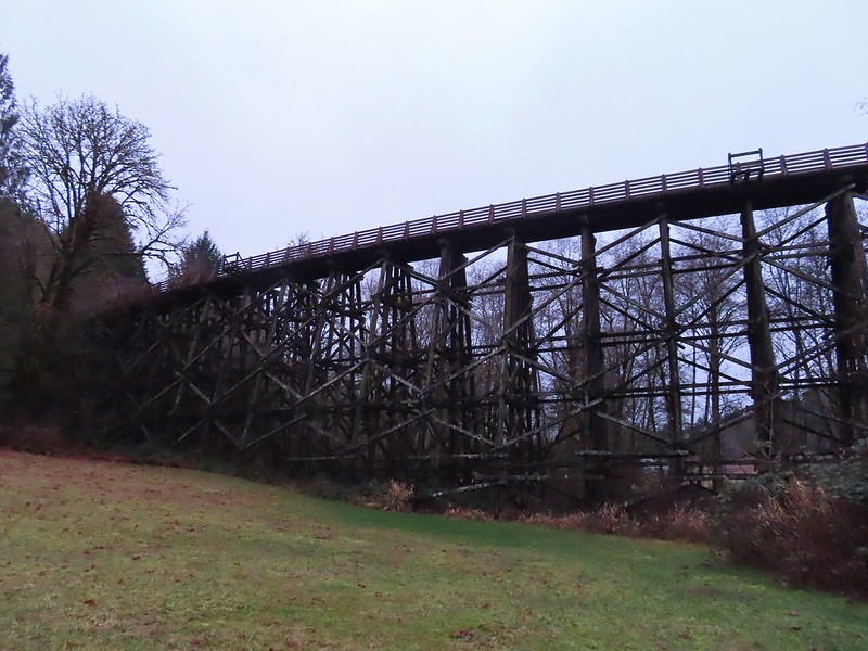
The path then took us up to the Banks-Vernonia State Trail where we turned right and crossed the trestle.


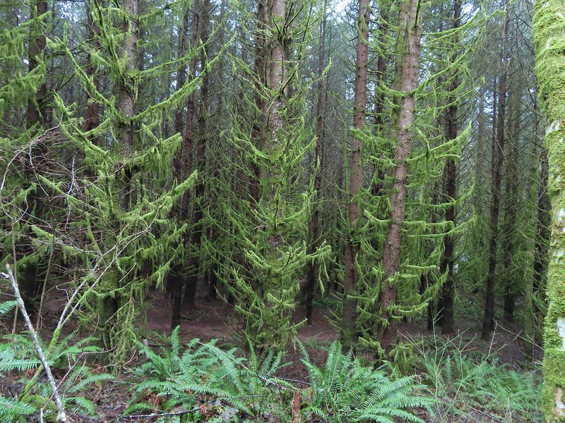
We followed the paved former railroad north approximately 3/4 of a mile into L.L. Stub Stewart State Park.
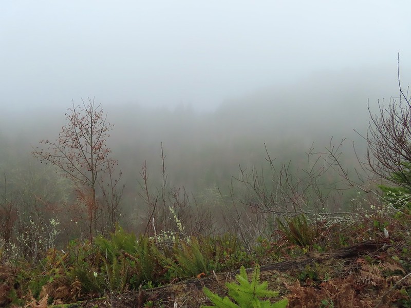
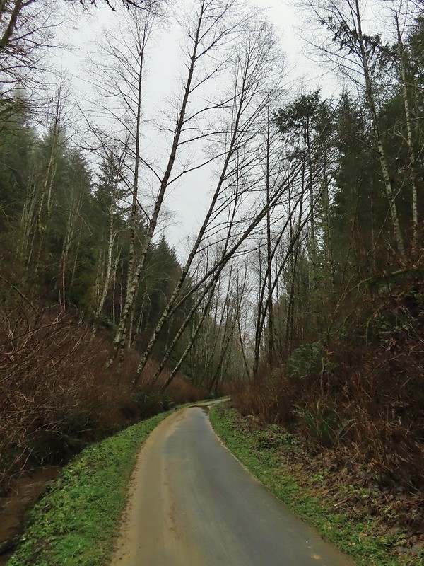
 Leaving the Buxton Trailhead area.

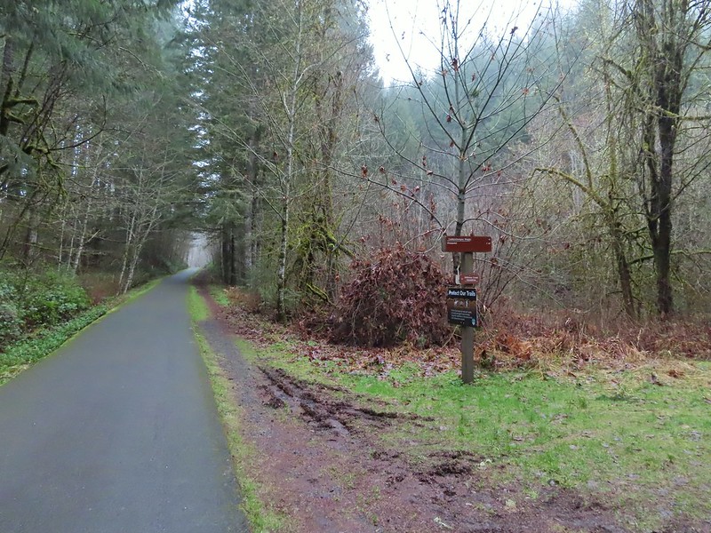
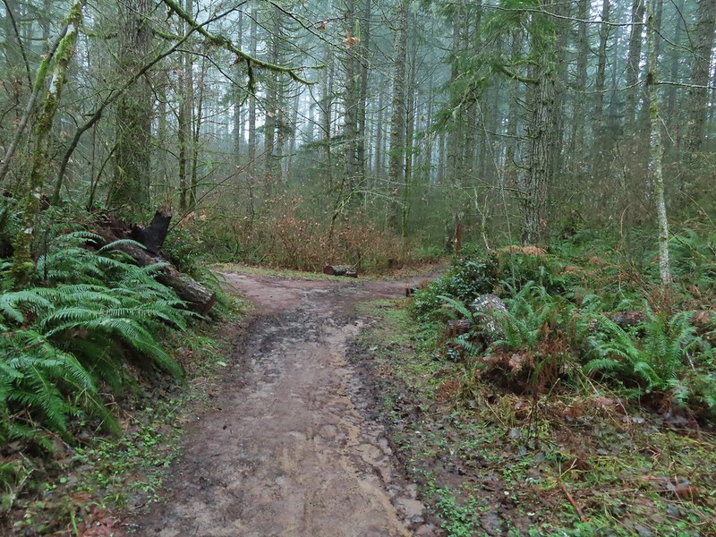
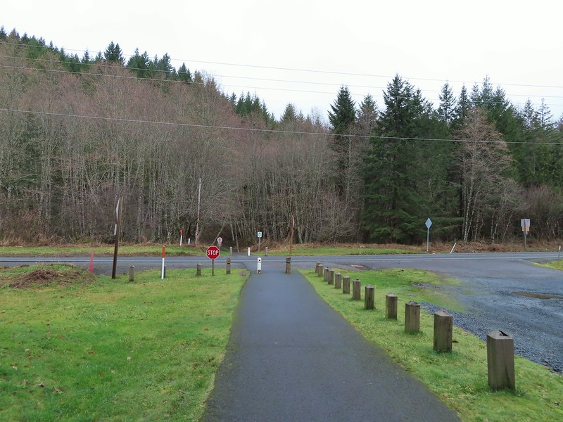
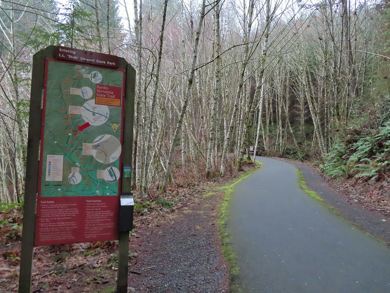 Entering Stub Stewart State Park.
We continued through the park for another mile and a half passing two marked trails to the right before arriving at a third just north of Williams Creek

 This trail was just north of Logging Creek and appeared to just loop back to the Banks-Vernonia Trail a bit further north.
 The Caddywhomper Way(s) Trail was signed better. We skipped the viewpoint given the amount of fog/clouds and not wanting to add another 2 miles to the days total. The Oregonhikers field guide also mentions that there isn’t much of a view left due to the presence of trees.

 Trail junction just north of Williams Creek
This was our first wrong turn of 2021 although it may have been correct back in 2016 when our guidebook was released. The map in the book showed a single trail splitting off to the right just beyond the creek so we turned down what turned out to be the Shoofly Trail.

After .2 miles we arrived at a signboard with a map (it would have been more helpful up at the junction).

It was here that we realized that it was the wrong trail and that the Hares Canyon Trail was just a tenth of a mile further north.

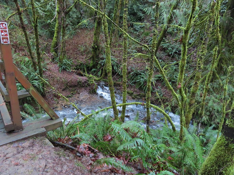
Since we were already down there we checked out Williams Creek stopping before the bridge which was clearly marked “no hikers”.


I say that it may have been the correct trail at one point because Sullivan’s description says that “after 100 feet a spur down to the right dead ends at the creek bank” and there was a closed fork up to the left that may have at one time been part of the Hares Canyon Trail. It wasn’t now though so back up we went to the Banks-Vernonia Trail where we continued north the the signed Hares Canyon Trail.

A barricade next to the trail had signs for active logging that was occurring Monday – Friday closing the trail on those days.
We headed up this trail through the forest where we ran into a pair of rough skinned newts.


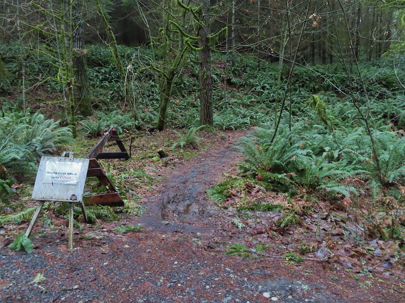
We passed a signed junction with the Brookecreek Trail and then arrived at a new logging road three quarters of a mile from the Banks-Vernonia Trail.


There were no indications of where the Hares Canyon Trail went so we used the map to decide that it must be somewhere to our right and we followed the logging road a short distance before spotting an obvious trail splitting off of it.

The trail passed through a thinned forest before popping out on another logging road.


We stayed right on the road at junctions and dropped to another barricade at the Widowmaker Way Trail.

 Sign for the Widowmaker Way and Harse Canyon Trails.
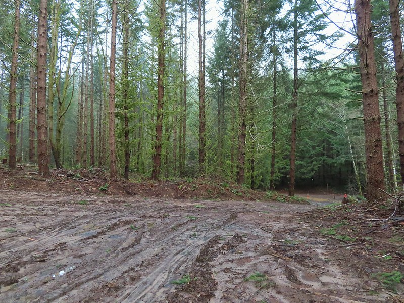
Passing through the logging operation was a bit depressing to be honest. We’ve been on several trails in the last year that have passed through active or recently logged areas and combined with the trails that we’ve lost to wildfires in the last few years and other trails that are being lost to lack of funding for maintenance it’s a bit of a bummer. Ironically this is all at a time when more people then ever are heading out to the trails overloading the most popular and causing issues with litter and human waste. Enough of the doom and gloom though and back to the hike.
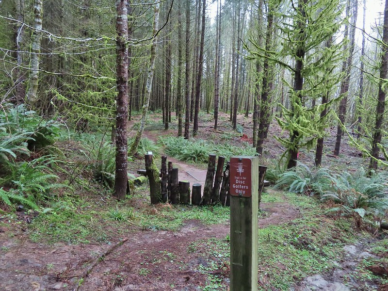
The Hares Canyon Trail followed a roadbed of indeterminate age through a disc golf course arriving at a signboard in a mile marking the northern end of the Mountain Bike Area at North Caddywhomper Way.


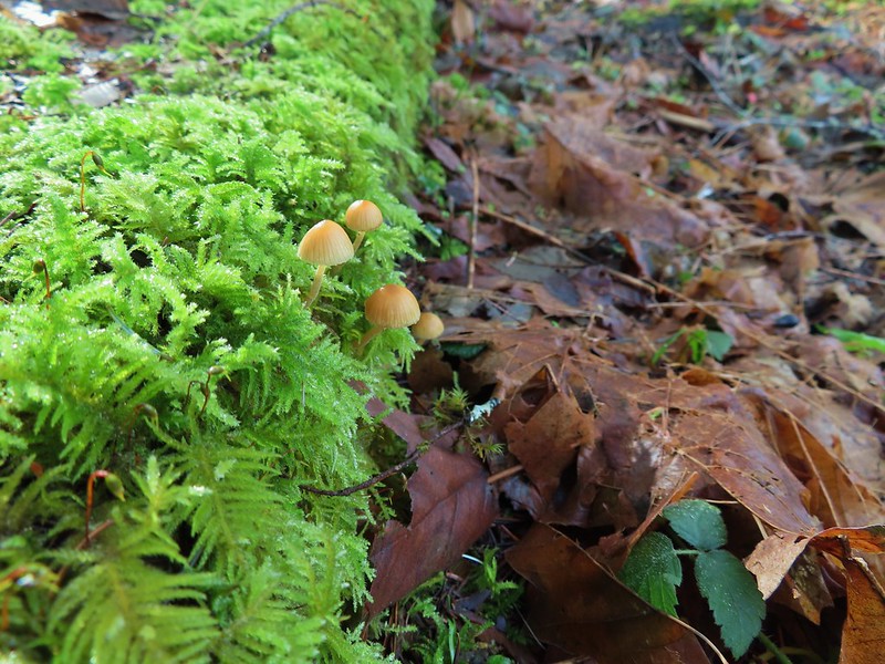
 No flowers yet but plenty of mushrooms and fungi.

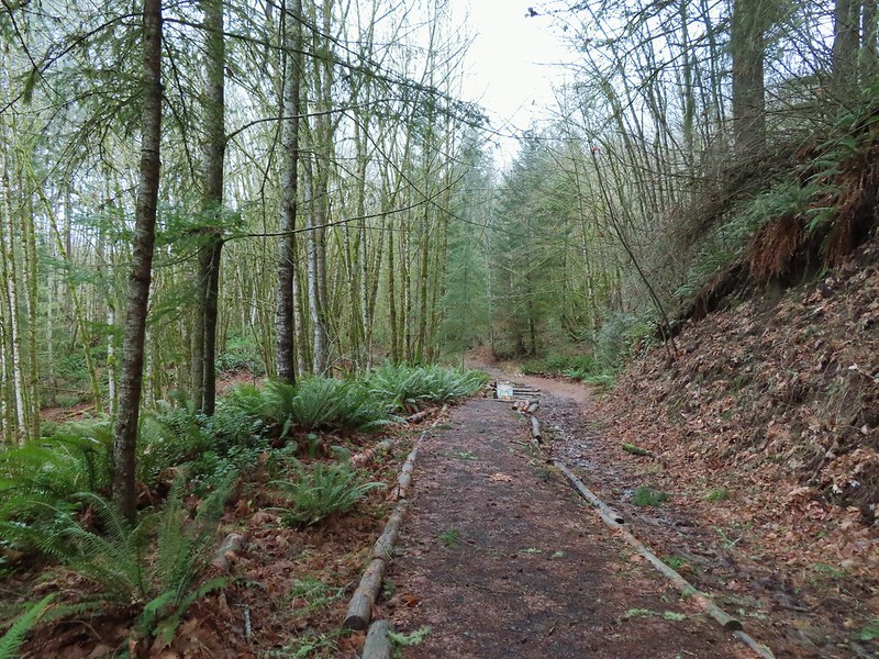
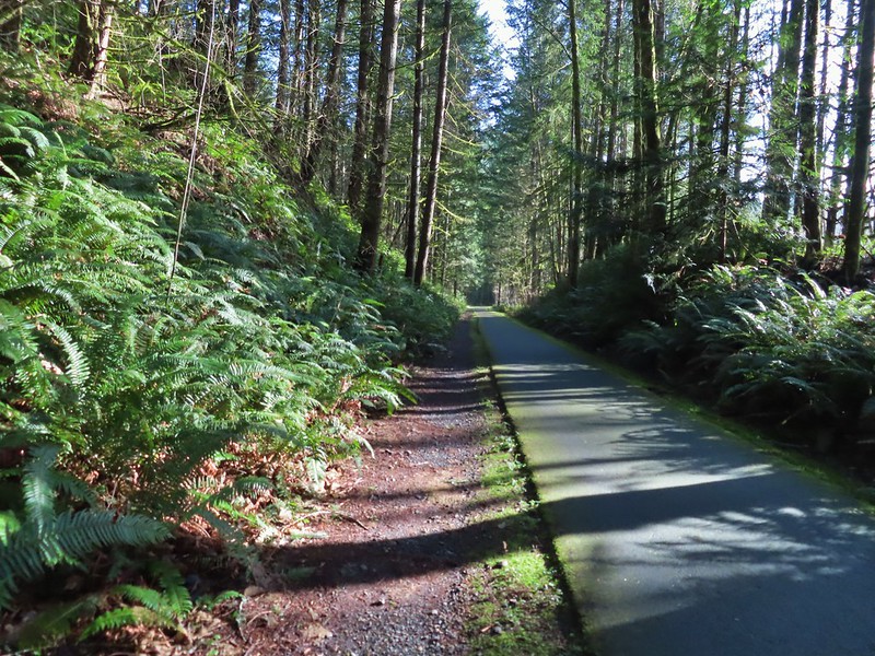
 The trails were well signed so it was easy to stay on the Hares Canyon Trail.

 Comming up on North Caddywhomper Way
We turned left here following pointers for the Hares Canyon Trail until it crossed a service road (3/4 of a mile from the signboard).


At a junction on the far side of the service road we veered left following the Unfit Settlement View Trail and pointers for the Skycar View and Boomscooter Trail.


 Wet webs in the trees.
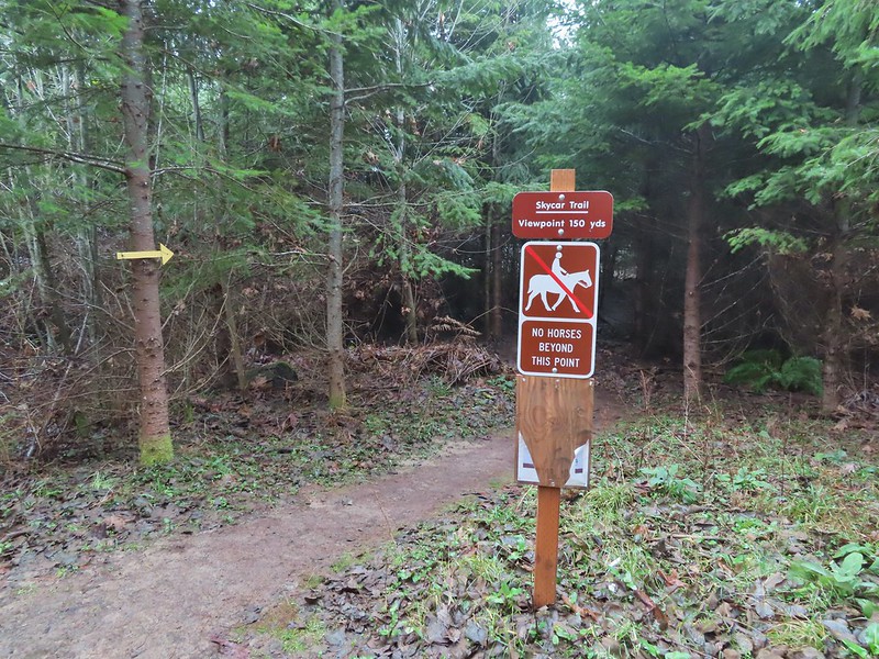
We took a detour to the Skycar View despite the fog since it was only 150 yards away.

We returned to the Unfit Settlement View Trail and followed it downhill to a junction with the Boomscooter Trail where we turned right.

The Boomscooter Trail descended past Boomscooter Pond and ended in three quarters of a mile at the Banks-Vernonia State Trail.
 Chatty squirrel

Sullivan’s description would have had us turn left here and return to the Buxton Trailhead but we turned right instead in order to visit the Tophill Trailhead. There were two reasons for this, one was that if we did do more sections of the trail in the future we didn’t want to have a non-hiked gap in between our section hikes, don’t know why but we prefer them to connect. The second reason was that the Tophill Trailhead had been the halfway point of the 2014 marathon which was also the point at which the train went off the tracks. The section of trail just beyond that trailhead was the only significant uphill of the whole route and we had thought walking it would keep it from doing too much damage, but we hadn’t planned on it being 20 plus degrees warmer that day than it had been during any of our training runs. None of us recovered after the hill and the remainder of the race included a lot of walking and cramping. We were both interested in revisiting that hill and seeing if it really was a bad as it had seemed that day.
It was about 2 miles to the Tophill Trailhead where we walked to Highway 26 then turned around and headed up the hill.
 Passing over Highway 47 on the way to the Tophill Trailhead.
 Orange jelly fungus on a tree.
 Heading up from the hill from the less steep south side.
 Highway 47 at the Tophill Trailhead.
The climb back up the couple of switchbacks was underwhelming. It made us work but it also reinforced that it wasn’t the hill that had done us in that day, it had been the heat. We followed the Banks-Vernonia Trail back to the Buxton Trailhead passing back through L.L. Stub Stewart State Park along the way. The trail was fairly busy by the afternoon with joggers, hikers, bikers, and a couple of equestrians enjoying the dry day (with a bonus sighting of blue skies).
 Chestnut-backed chickadee
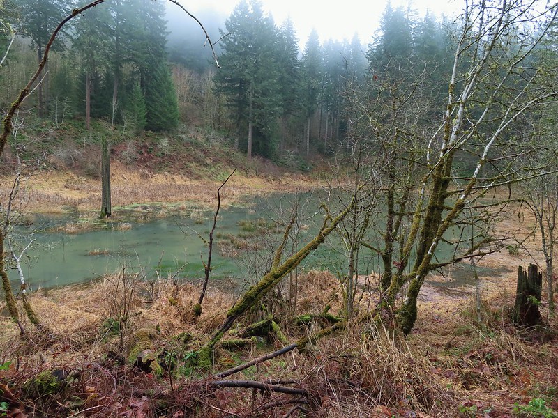
 Pond along the trail.

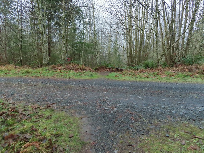
 Entrance road to Stub Stewart.

 Back at the Buxton Trailhead
 Bench at the Buxton Trailhead
We had expected the hike to be around 13 miles but our GPS (and time) put it at 15.5 miles. Although not the most exciting or dramatic hike there was a nice variety of sights and the trails (except for the area being logged) were in great to good shape. Happy Trails!

2 replies on “Banks-Vernonia State Trail – Buxton Trestle to Tophill Trailhead – 01/16/2021”
[…] Our first and final hikes of the year were on converted railroads. Banks-Vernonia State Trail in January. (post) […]
[…] Banks-Vernonia Railroad – Hiked – 4/10/2016 & 1/16/2021 (Also ran as a marathon in […]