Like much of the U.S. we’ve had some ugly weather so far in February so when we saw the potential for a “not too wet” window of time we decided to head out for this month’s hike. On our schedule for February was the North Fork Nehalem River in the Coastal Range. This hike came from the Oregon Hikers Field Guide, my favorite online source for ideas. This particular hike utilizes roads instead of trails which was actually a good thing after an unusually destructive ice and snow storm had come through just a week before our hike. We hopped that the combination of the roads and some clearcuts along those roads would mean we wouldn’t have to deal with much if any debris from the storm. As we drove west on Highway 26 from Portland we were amazed at how much damage there was to trees in the Coastal Range. Between the damage we saw and a couple of heavy rain showers we were wondering what we might be getting ourselves into as we turned south onto Highway 53. The rain let up as we wound our way down past more damaged trees to the Nehalem Fish Hatchery. We had planned to stop at the hatchery first for a quick stop to see Umbrella Falls but signs at the hatchery indicated it was closed to visitors due to COVID-19 (the ODFW website for the hatchery didn’t mention the closure). With access to the 1/8 mile path to the falls blocked we had to skip Umbrella Falls for now and we drove the short distance north on Highway 53 to Cole Mountain Road (just north of the bridge over the North Fork Nehalem River) where we turned west (right) and kept right at a fork to reach the North Fork Nehalem Trailhead.

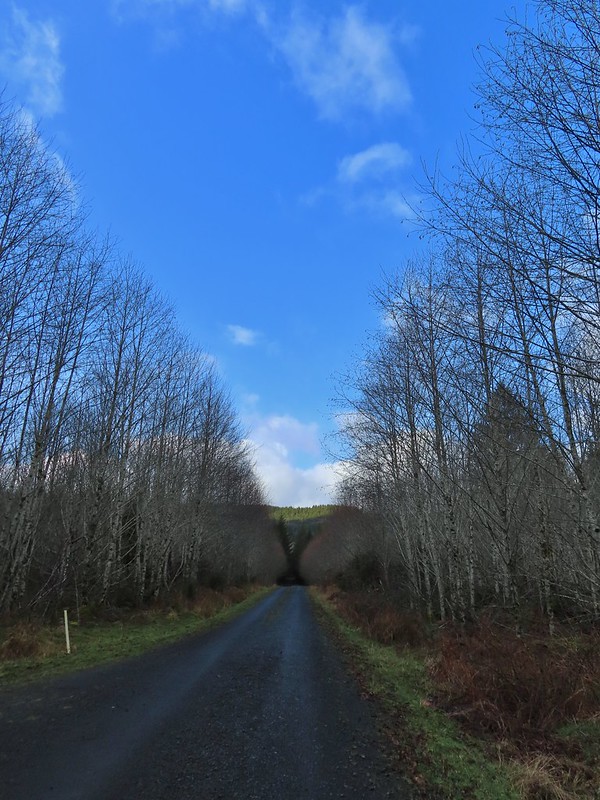
We parked at a pullout before a gate marking the start of private land owned by McCracken Woodlands LLC and set off on foot.

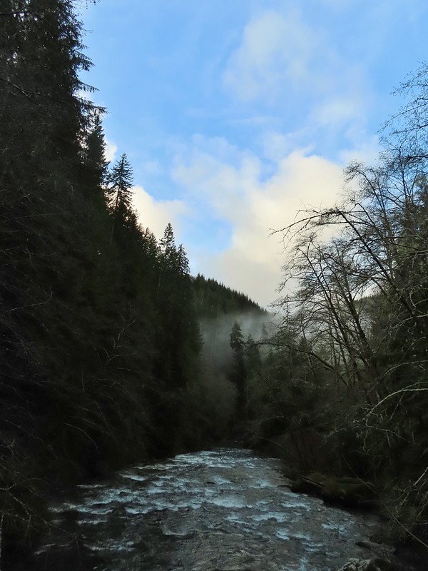
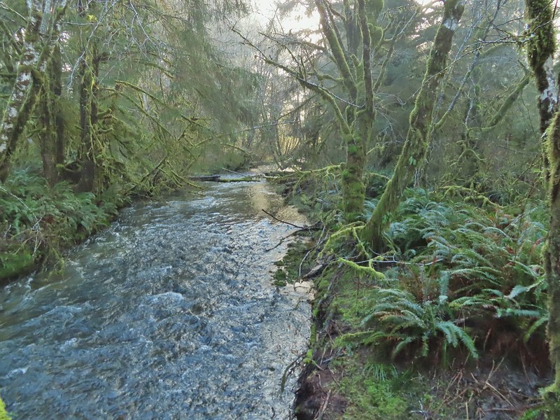
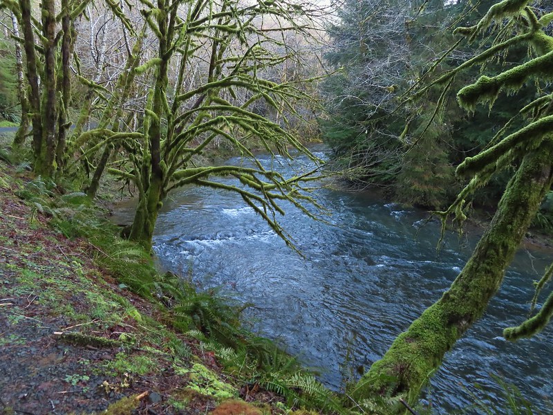
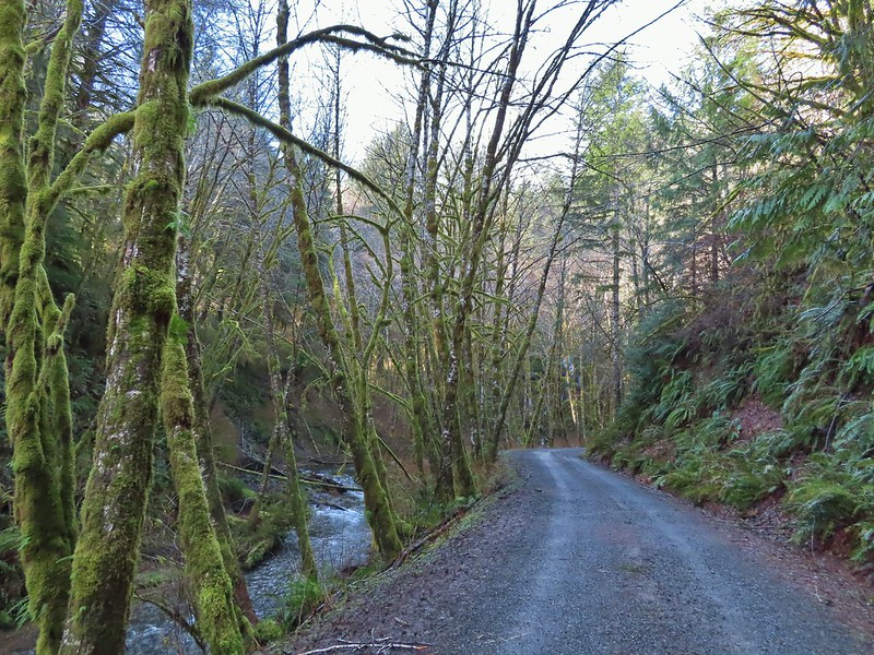
After crossing over a small stream we started getting views of the North Fork Nehalem River on our right.


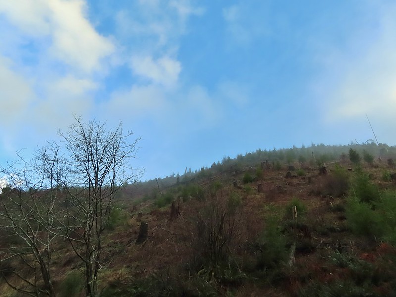
We were soon passing one of several clearcuts.
While we are always on the lookout for wildlife we rarely spot anything when we’re specifically looking for something. Today was no exception and after scanning the hillside and coming up empty we started walking again. I turned around to see what the view was like behind us and caught movement 2/3rds of the way up the hill. It was a pair of deer that were well aware of us and making their way in the other direction.


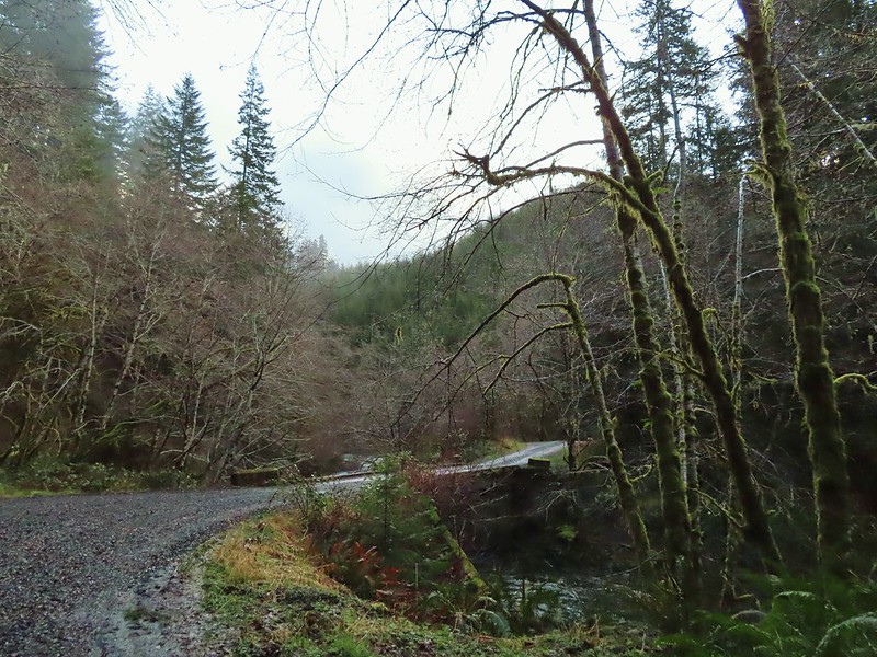
A mile into the hike we crossed the river on a bridge.

Just under a half a mile from the bridge we came to North Fork Falls where some steps led down to a fish ladder.


After checking out the falls and fish ladder we continued on North Fork Road passing twin seasonal waterfalls, a quarry, and a pond before crossing over Gods Valley Creek near the two and three quarter mile mark of the hike.


 Gods Valley Creek
Just beyond Gods Valley Creek we spotted some old moss covered picnic tables. We’d be interested in the history here as there was also at least one former campsite with an old fire ring in the area as well. Our guess is that before the logging this was some sort of recreation area but we haven’t been able to find any information online about it.

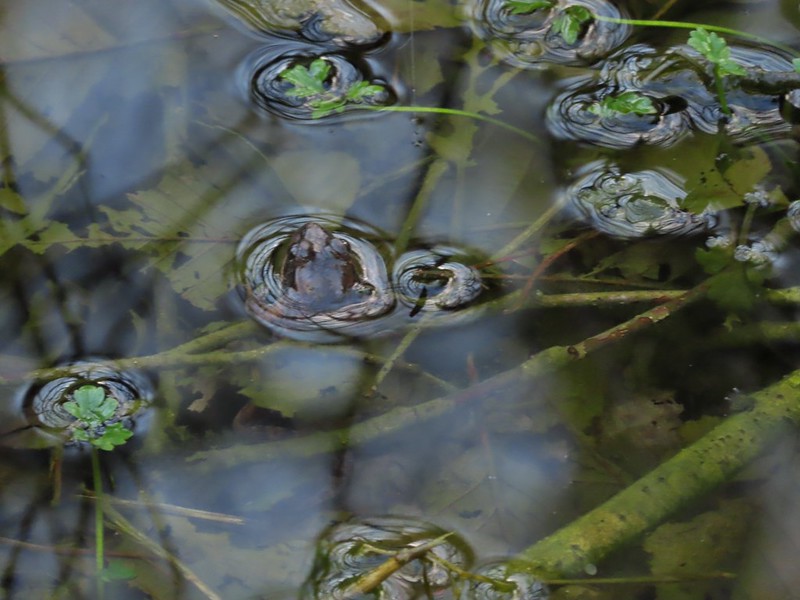 Frog near the old picnic tables.
After crossing the creek the road left the North Fork Nehalem as the river bent northward sticking to a straight line to another crossing of the River just before the 3.5 mile mark.


A gate at the far end of this bridge marked the boundary of the private land and the start of the Clatsop State Forest. We followed North Fork Road through the forest another two miles to Fall Creek (just on the far side of another large quarry).
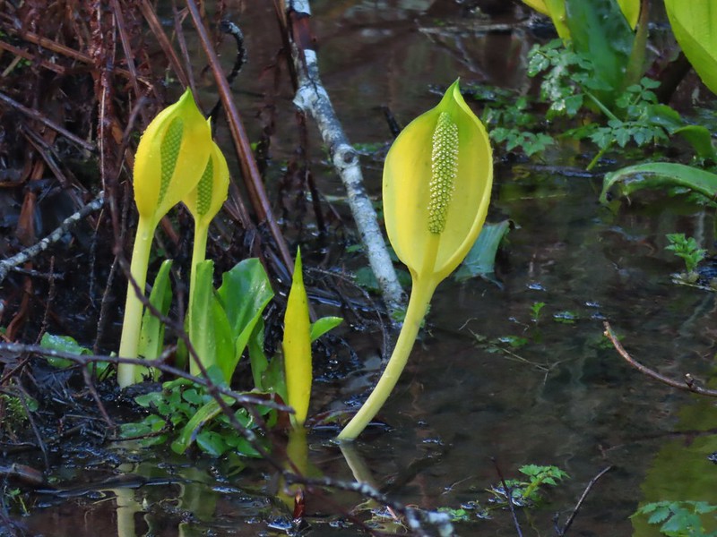
 Not much in the way of flowers yet but there was a bit of skunk cabbage in bloom.
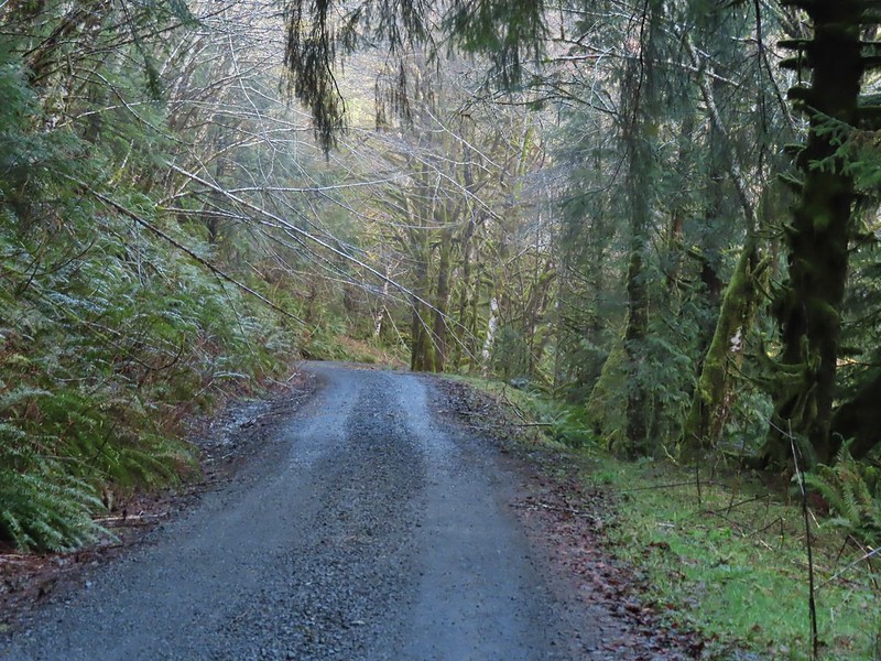 Some low hanging trees, presumably from the storm. The roads had been cleared but occasional damage along the side of the road was evident.
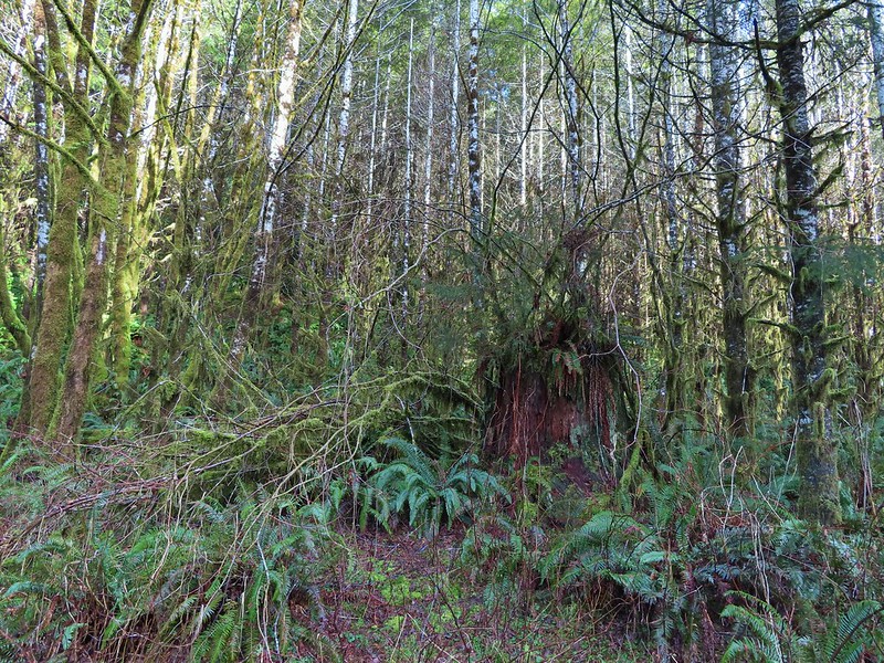 There were no recent clearcuts in the Clatsop State Forest section but there was evidence of past logging.
 Fall Creek
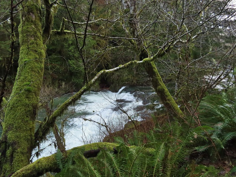
After crossing Fall Creek the road (which is shown on maps as Hill Road here) turned away from the river and followed Fall Creek. We took a short detour to the right toward the river where a gated suspension bridge led to another fish ladder.

 Not sure why I neglected to get a picture of the bridge from the locked gate but this is the only one I took of the bridge.
 The hike description in the Oregon Hikers Field Guide mentions walking along the bank to get a view of Upper North Fork Falls from the rocks below but that wasn’t going to be an option with the river level today.
After checking out the bridge we returned to the the road and continued uphill along Fall Creek to visit three more waterfalls.
We came to the first fall after .3 miles, a side stream flowing into Fall Creek. The lack of leaves made it a little easier to see the falls than it would be later in the year.

I was able to make my way down to Fall Creek below the falls for a closer look. (I did however get slapped in the face a couple of times by the vegetation.)

Another quarter mile brought us to the final two falls. A stepped fall on Fall Creek and another side stream flowing into Fall Creek.


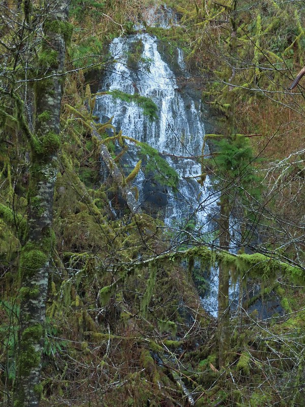

We were pleasantly surprised at how nice these last three waterfalls were, especially the two on the side streams. We were also thankful that we hadn’t had any real precipitation to deal with. We headed back the way we’d come looking for anything we’d missed on our fist pass.
 We both thought that this thick moss looked like some sort of hairstyle.
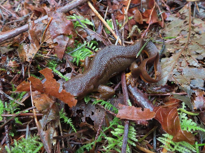 Rough-skinned newt
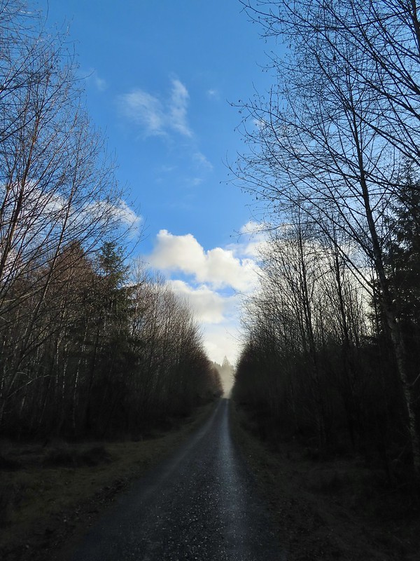
A brief mist passed over but that was it and we enjoyed some bright blue sky as we finished up our outing.
The hike came in at a little under twelve and a half miles with just over 500′ of elevation gain. We passed three anglers on the road on the way back and saw two more (their fishing line anyway) down on river. This was a great winter hike and a thoroughly enjoyable outing despite being entirely on roads. It just goes to show that it’s the not the surface but the surroundings that make a good hike. Happy Trails!
Flickr: North Fork Nehalem River

3 replies on “North Fork Nehalem River – 02/20/2021”
Very nice hike and photos.
IF YOU WANT SOME REAL HISTORY ON THIS AREA VERN SCOVELL IS THE GUY TO TALK TO. HE GREW UP LOGGING, HIKING, FISHING AND KNOWS PRETTY MUCH ALL THE REAL STORIES. AT 90 YEARS OF AGE HIS STORIES ALWAYS CAPTIVATE YOUR INTEREST. HE WOULD LOVE TO HEAR FROM YOU!
[…] attempted to visit the waterfall in February of 2021 prior to our North Fork Nehalem River hike (post). The hatchery was closed to the public due to COVID restrictions and although walking through to […]