After a 14 mile three stop day on Saturday of Memorial Day weekend we had another 14ish mile day planned for Sunday but this time just a single stop at the J.S. Burres Trailhead at Cottonwood Canyon State Park.

This was our second visit to the park having previously hiked the Hard Stone and Pinnacles Trails in 2017. The John Day River acts as the boundary between Sherman and Gilliam Counties and those trails are located on the north (Sherman Co.) side of the river. The J.S. Burris State Wayside is on the south side of the river which puts it in Gilliam County. This makes it one of the only hikes that I could find in Gilliam County and Gilliam County was one of the two remaining counties in Oregon in which we had yet to hike. (The other is Umatilla which has plenty of trails, we just haven’t gotten around to them yet.)
The main attraction at the wayside is the boat ramp but it also serves as the trailhead for the Lost Corral Trail.
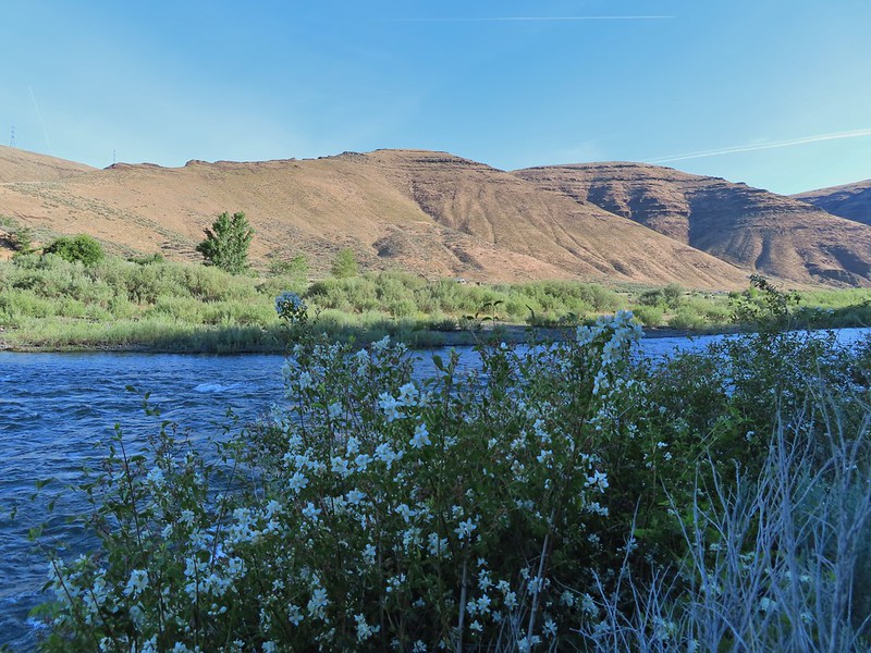
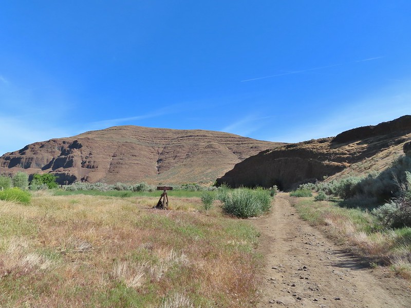
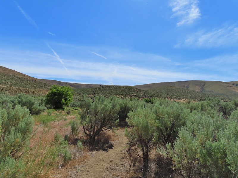
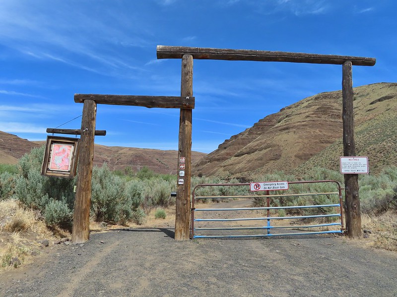 Afternoon photo of the start of the trail.
It was already 68 degrees, according to the car anyway, when we arrived shortly before 7:30am which meant it was going to be a hot hike. We had planned for high temperatures and were each carrying extra water. The Lost Corral Trail follows an old roadbed for 4.3 miles to the start of the 0.9 mile Esau Loop Trail. There is also an option to tack on a 4.3 mile off trail loop that would take us up into the hills above the river. It was an ambitious plan given the expected temperatures but we set off determined to give it a go. Shortly after setting out, and stopping to watch a couple of rabbits, I asked Heather if she remembered if I locked the car. She didn’t and neither did I so I double timed it a quarter mile back to the trailhead to make sure it was locked then rejoined Heather up the trail.

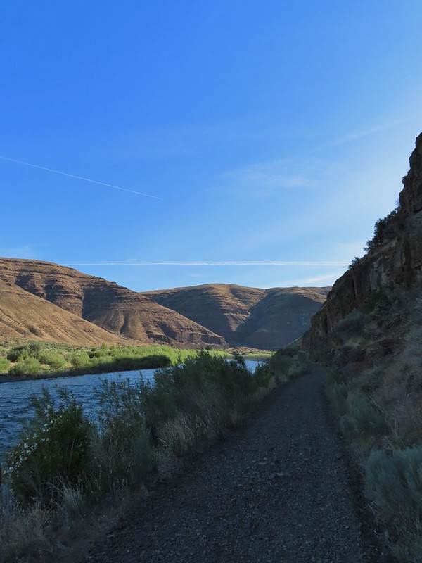
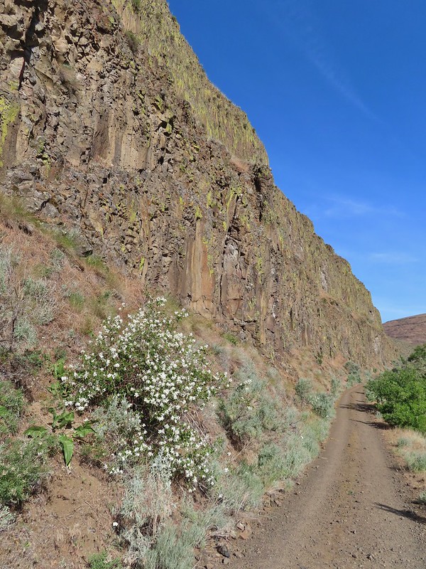
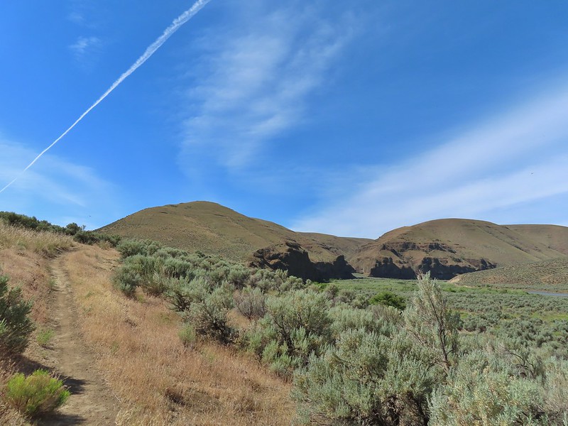
 This section was so nice I did it twice.
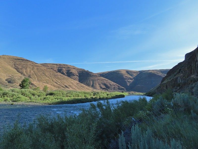
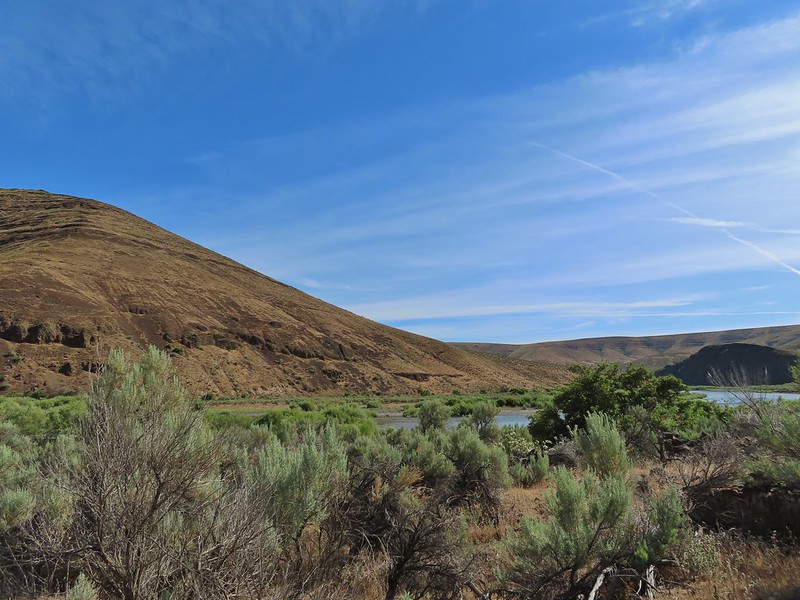
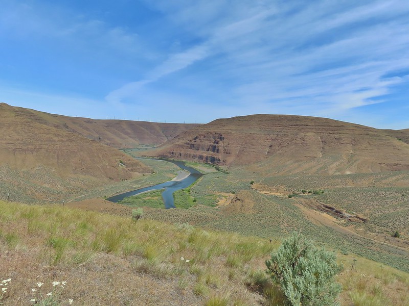
We both felt the Lost Corral Trail had better views of the John Day than the other trails had offered.
 Cottonwood Canyon State Park main area across the river.
There were less wildflowers despite being the same time of year but that was likely due to the drought conditions that are plaguing the West this year.
 One of the exceptions was mock orange which was blooming profusely along the trail.

 Dalmation toadflax and yarrow.
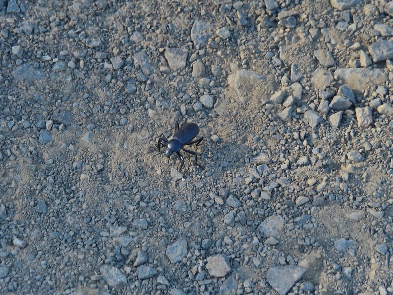
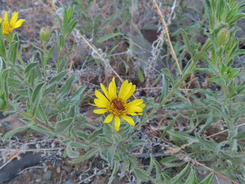 Beetle on what might be hairy golden aster

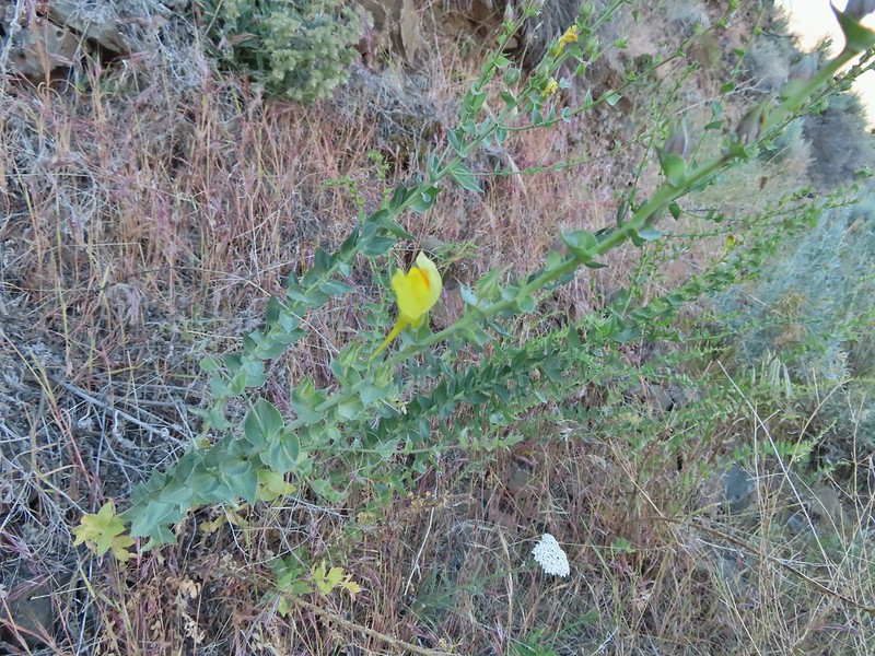
 A lupine
This would be a day of missed opportunities where the wildlife was concerned and it started about a mile into the hike when a pheasant waited until we had unknowingly passed him before he flew off never to be seen again. Later as we approached the second bench along the trail (near the 3 mile mark) I spotted the brown back side and tail, of what I believe was an otter, dive into the water and disappear. On our way back a family of Chukars startled us and scattered before I could turn on the camera and finally a snake (not a rattler, possibly a yellow bellied racer) slithered through the vegetation not quite allowing for a clear picture, but I digress.
Back to the hike, just after the pheasant encounter, the trail crossed a wide sandy flat where tracks revealed the presence of a number of critters.


 More mock orange along the trail.
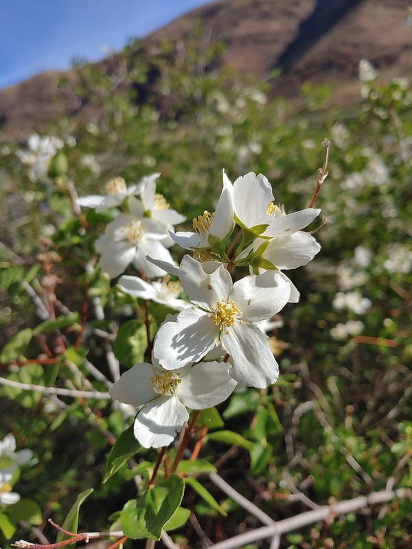 Close up of the mock orange.
 Butterfly on western clematis
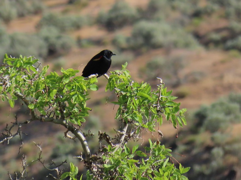 This red winged blackbird cooperated for a photo op.
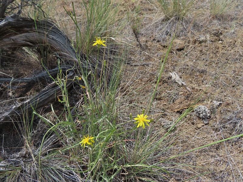
 Salsify
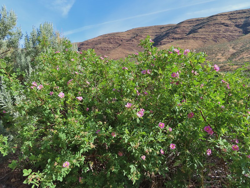 Wild roses
There had been a large number of cliff swallow nests along the Pinnacles Trail but we only saw a few on this side of the river.

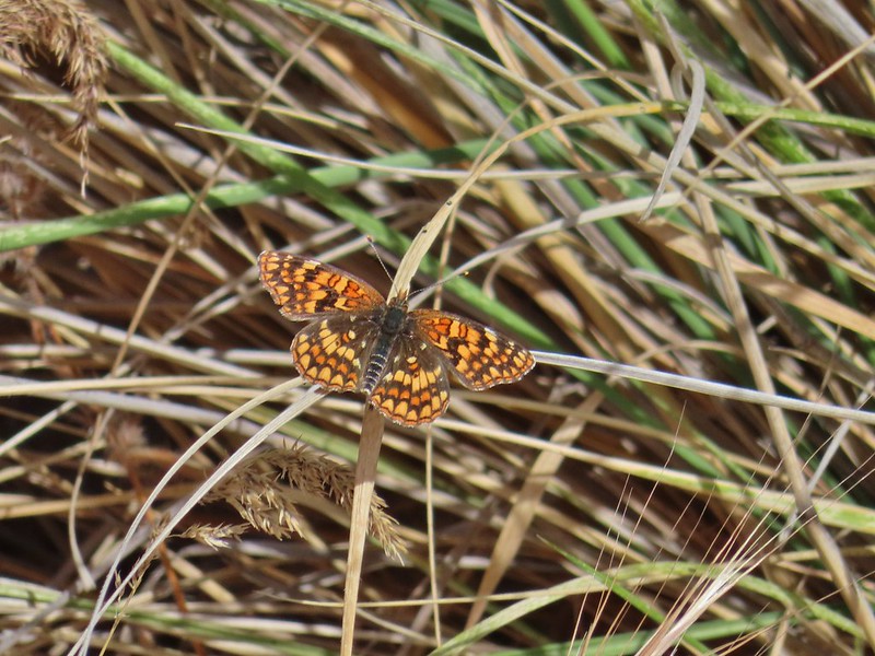
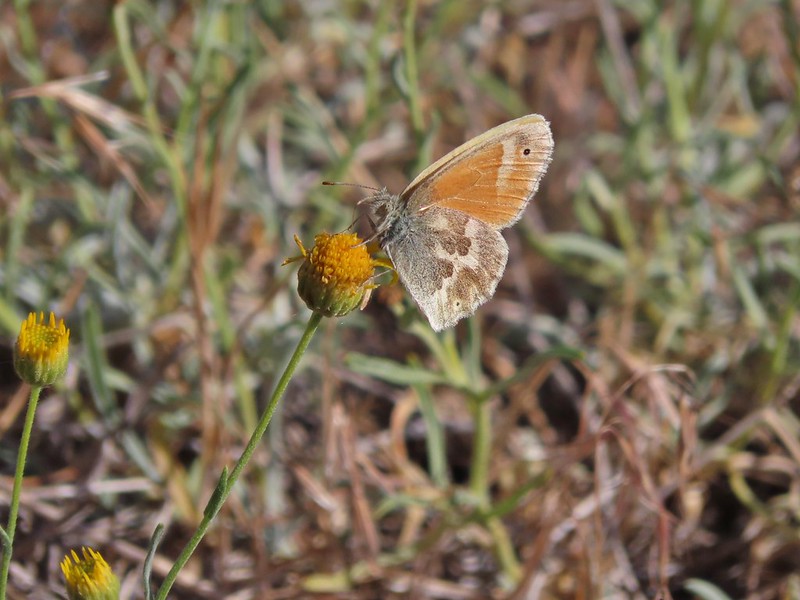
There might not have been a lot of swallows but there were plenty of butterflies.


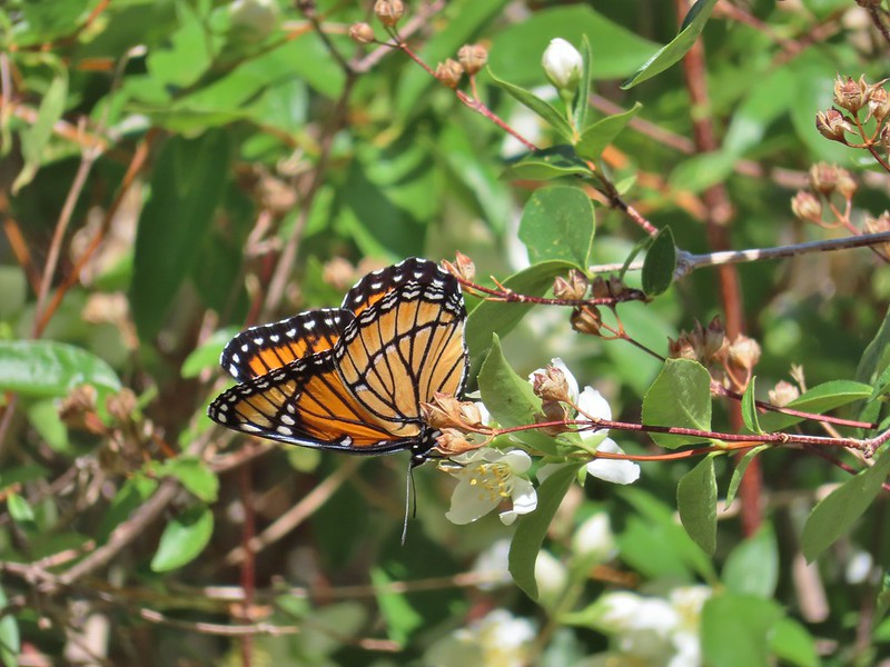 We saw this viceroy on the way back to the car.
There were also a large number of birds but most could only be heard and not seen as they stuck to the thick vegetation along the river.
 Magpie dive bombing a hawk.
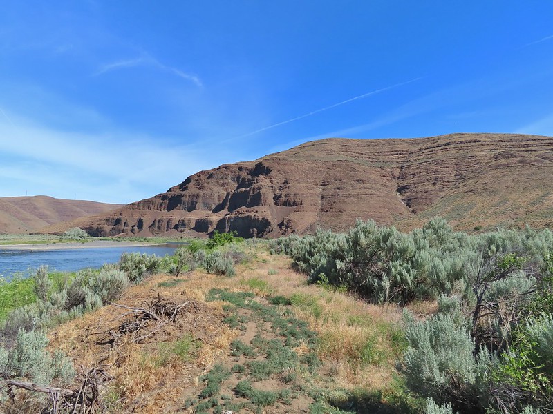
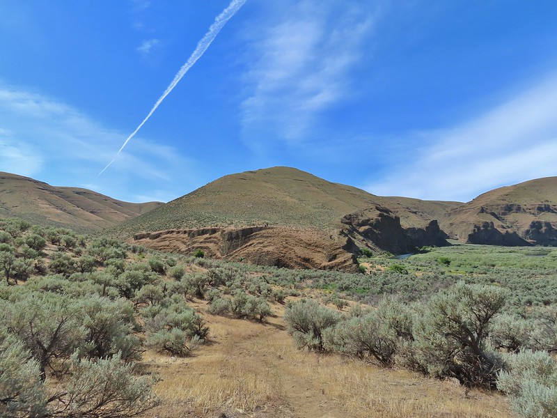
 Coming up on the second bench.
 The otter or whatever it was was right in this area.
We sat at the bench and rested hoping to get another glimpse of the animal but it never rematerialized. We did however spot some big fish in the water below.

After resigning ourselves to the fact that the otter was not going to make another appearance we continued on.
 Cedar waxwings
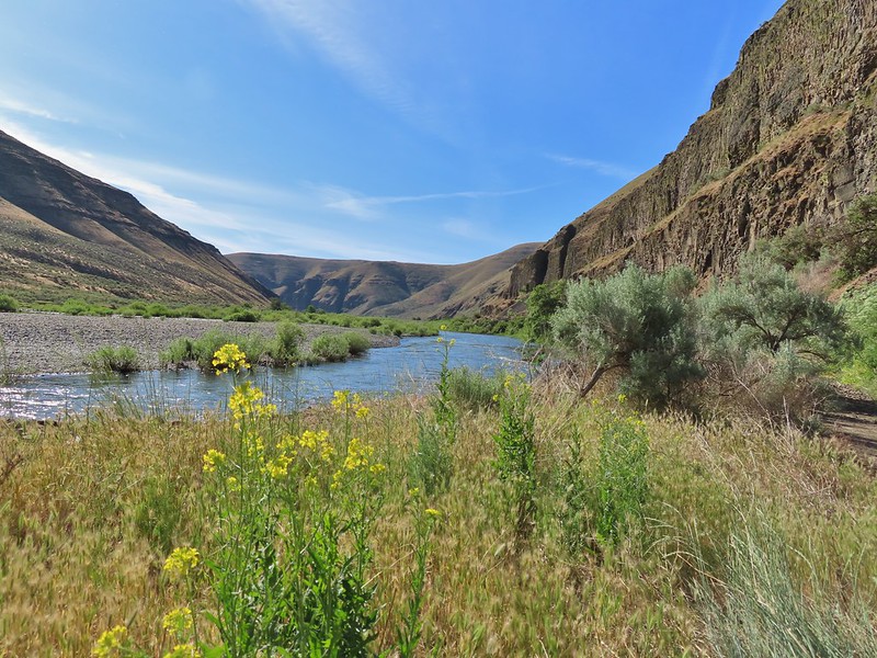
 The Pinnacles

 Ducks
Ducks
We turned left when we reached a sign for the Esau Loop Trail.
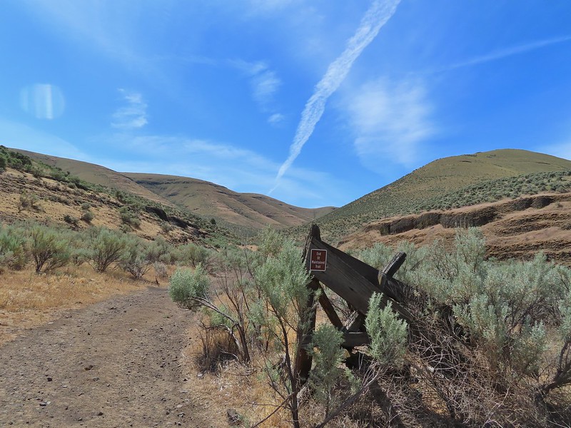
 Esau Loop Trail sign.
 Looking back at The Pinnacles from the Esau Loop Trail.
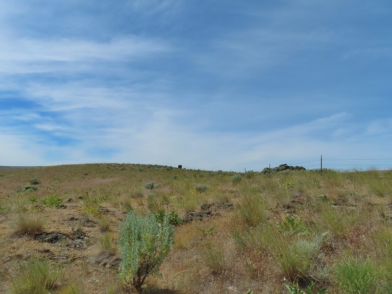
This was a much rougher trail that passed through the sagebrush along the river before looping back over a low rise.
 Unknown flower
 Sagebrush mariposa lilies
Before completing the this loop we came to a signboard at a roadbed.

Our planned off trail loop began here. The roadbed that the Lost Corral Trail followed turned up Esau Canyon after passing a rocky ridge end. The Oregon Hikers Field Guide entry described “rounding the corner of the low cliff” then scrambling up to the ridge top to a fence line and following that up the ridge crest. Having turned left on the Esau Loop Trail we were approaching from the opposite direction but it gave us a clear view of the cliffs that we needed to get around in order to scramble up the ridge.
 The more open looking hillside to the right of the cliffs was deceptively steep so we followed the road to the left until the the terrain appeared more hospitable.
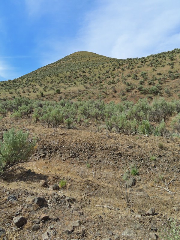 We set off from the roadbed here.
The hillside was steep so there was a lot of switch backing and pausing along the way.
 Have these gone to seed or blossoms?
 Possibly a hawksbeard
 Sagebrush mariposa lily


 Found the fence line.
Cattle trails followed the fence line uphill which gave us something to follow although they tended to just go straight uphill.
 I took this photo at 10:35, it looks like I’m close to the top.
This one was taken ten minutes later.

Twenty more minutes later and the high point was in sight.
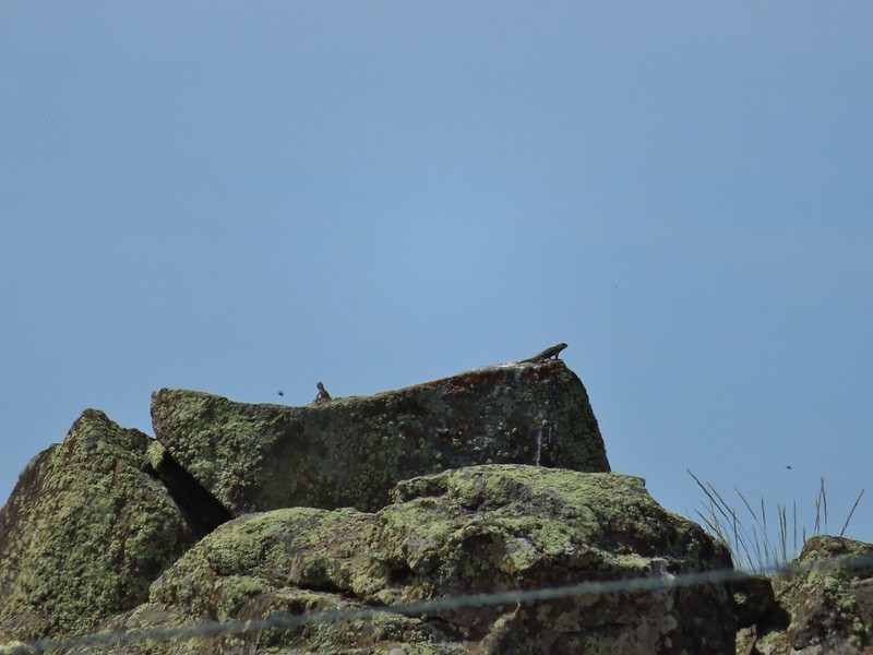 These two lizards beat us to the top.
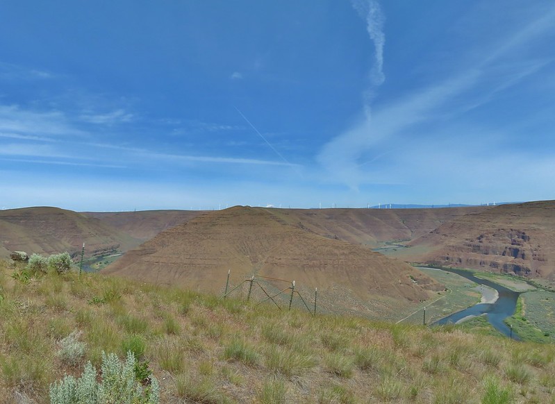
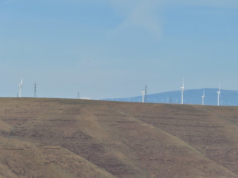
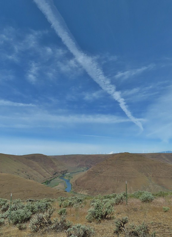
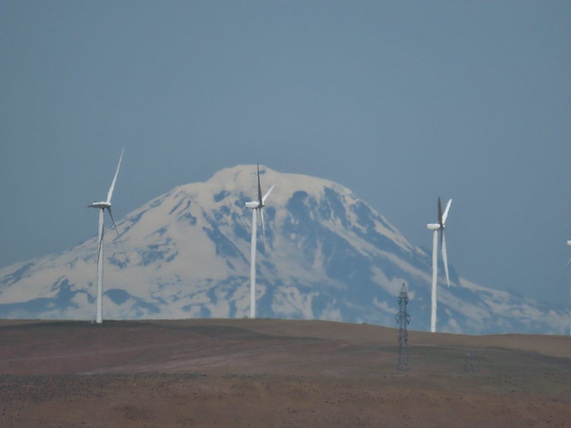
The climb gained approximately 900′ in a little over 3/4 of a mile. From the high point we could see the top of Mt. Adams beyond the John Day River Canyon.

 The very top of Mt. Rainier was also visible (barely)
We followed the ridge south picking up a faint jeep track and gaining better views of Mt. Adams.

 View SE
The jeep track dropped to the left of the crest and after a little over a half mile it turned sharply downhill into Esau Canyon.
 Descending into Esau Canyon on the jeep track.

Lower on the hillside the track began to switchback passing through a fence(we had to crawl under) before arriving at a creek bed with a little running water.

After using the steps to get over the fence we followed the road back down Esau Canyon to the Lost Corral Trail.

 Second climb over the fence.
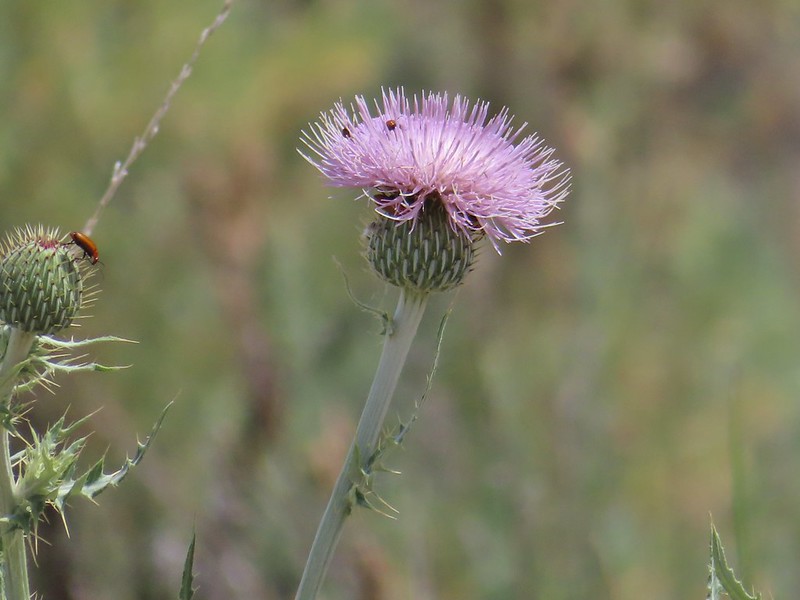 Beetles on thistle.
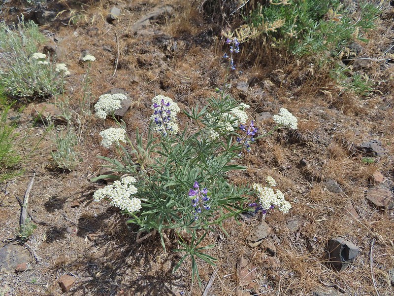 Yarrow and lupine
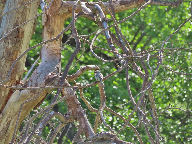
 Western meadowlark
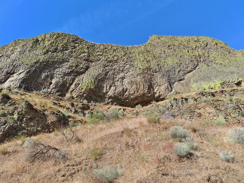
 The Lost Corral Trail where it passes the cliff at the ridge end.
From there we followed the Lost Corral Trail through the Lost Corral (which we had missed earlier due to turning onto the Esau Loop Trail) and returned to the trailhead.

 Cottonwood Canyon State Park in the afternoon.
My GPS read 14.3 miles but factoring my trip back to lock our car it was probably closer to 13.8 miles. On a cooler day that wouldn’t be so bad, even with the steep scramble up the ridge, but it was over 90 degrees by the time our hike was over and the heat had made it a tough hike. Carrying the extra water had been a good call as we were down to our hydro flasks by the end. Despite the challenge of the heat it had been an enjoyable hike with a good amount of wildlife sightings and no ticks or rattlesnakes were seen. Happy Trails!

Flickr: Lost Corral Trail

2 replies on “Lost Corral Trail – Cottonwood Canyon State Park – 05/30/21”
[…] checked Gilliam off our list over Memorial Day weekend with a hike at Cottonwood Canyon State Park (post) leaving just Umatilla County. One of our other goals is to hike in the 46 Oregon wilderness areas […]
[…] and Sherman County. Along that divide is Cottonwood Canyon State Park with the Lost Corral Trail (post) located on the Gilliam County side. That hike was quickly added to the 2021 schedule and the […]