**Note in 2025 the Ferry Fire burned over this area. The park structures were saved. This was a grass/brush fire, and the area should recover quickly.”
We spent Memorial Day Weekend in Bend and on Saturday morning drove up to Cottonwood Canyon State Park along the John Day River. To get there from Bend we drove north on Highway 97 to Wasco then turned onto Highway 206 for 15 miles to the park entrance.
Just after turning onto the entrance road we forked right on a short gravel road to a parking area near the river. The Hard Stone Trail began here.
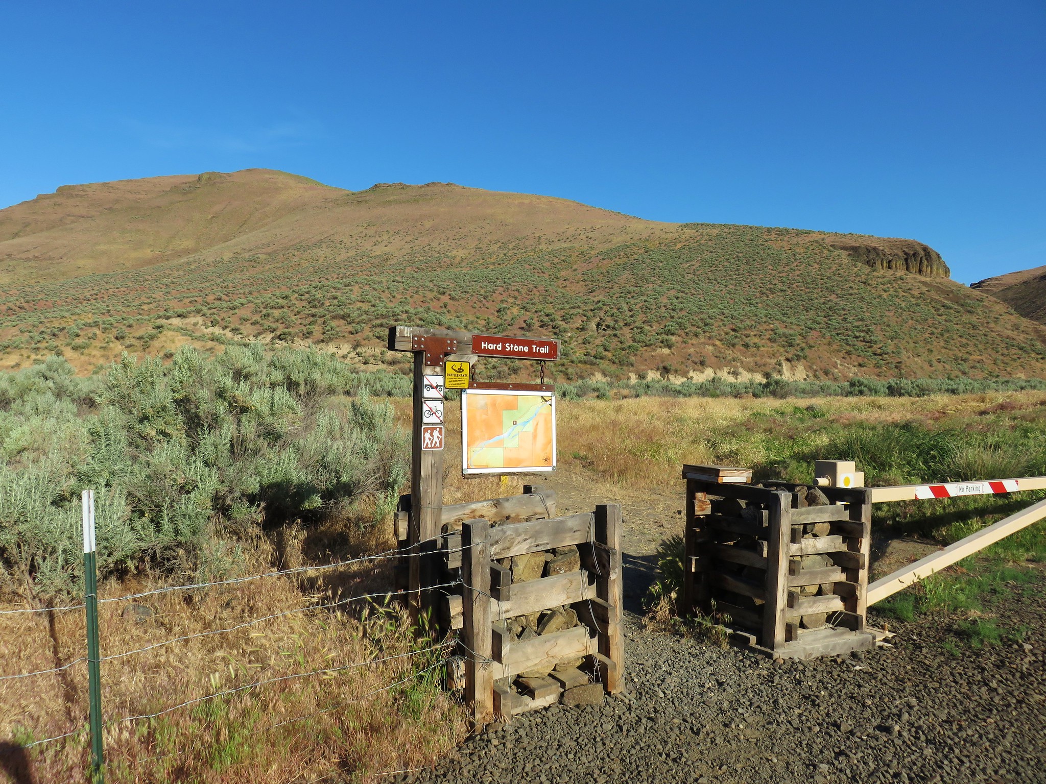
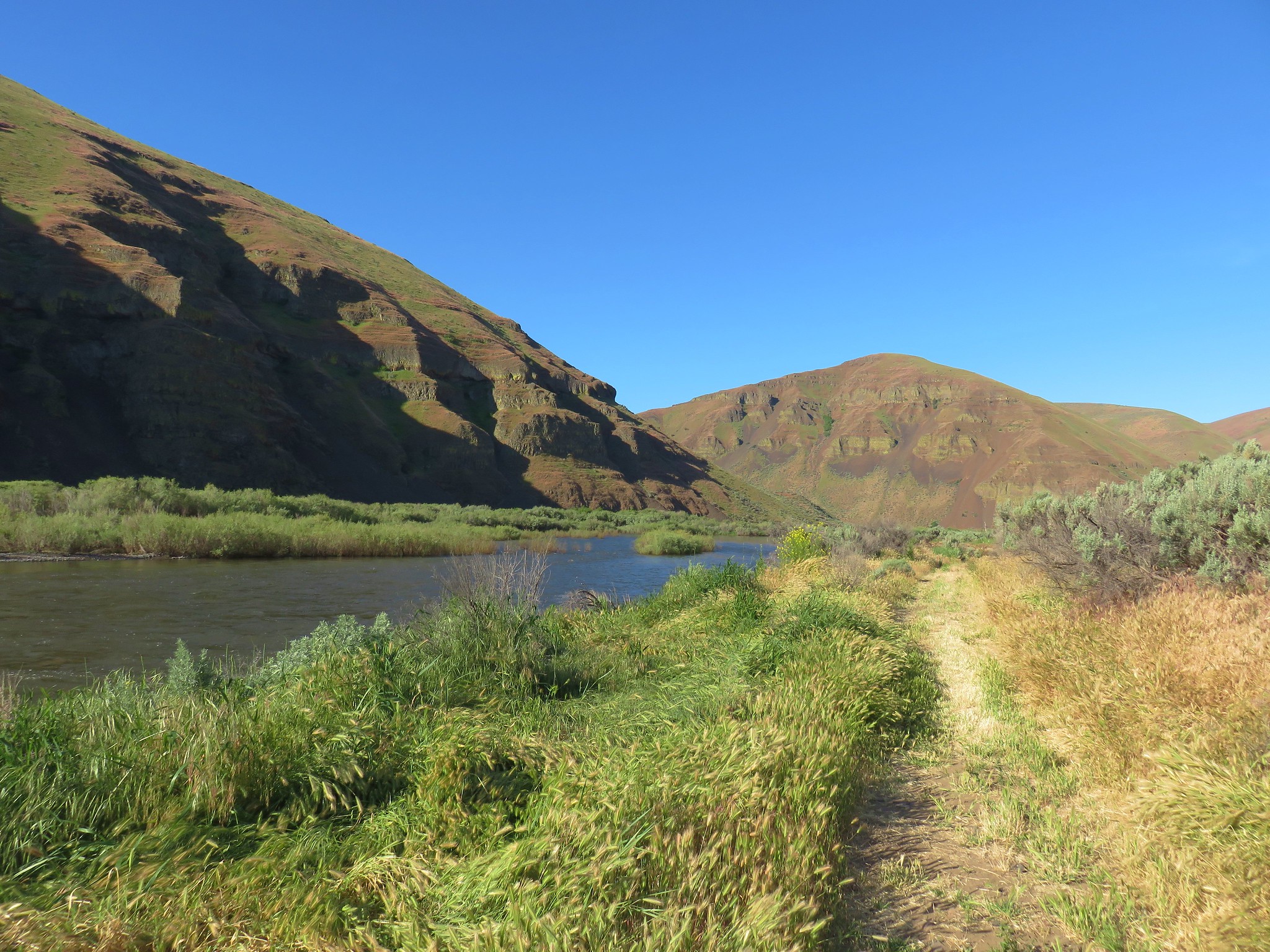
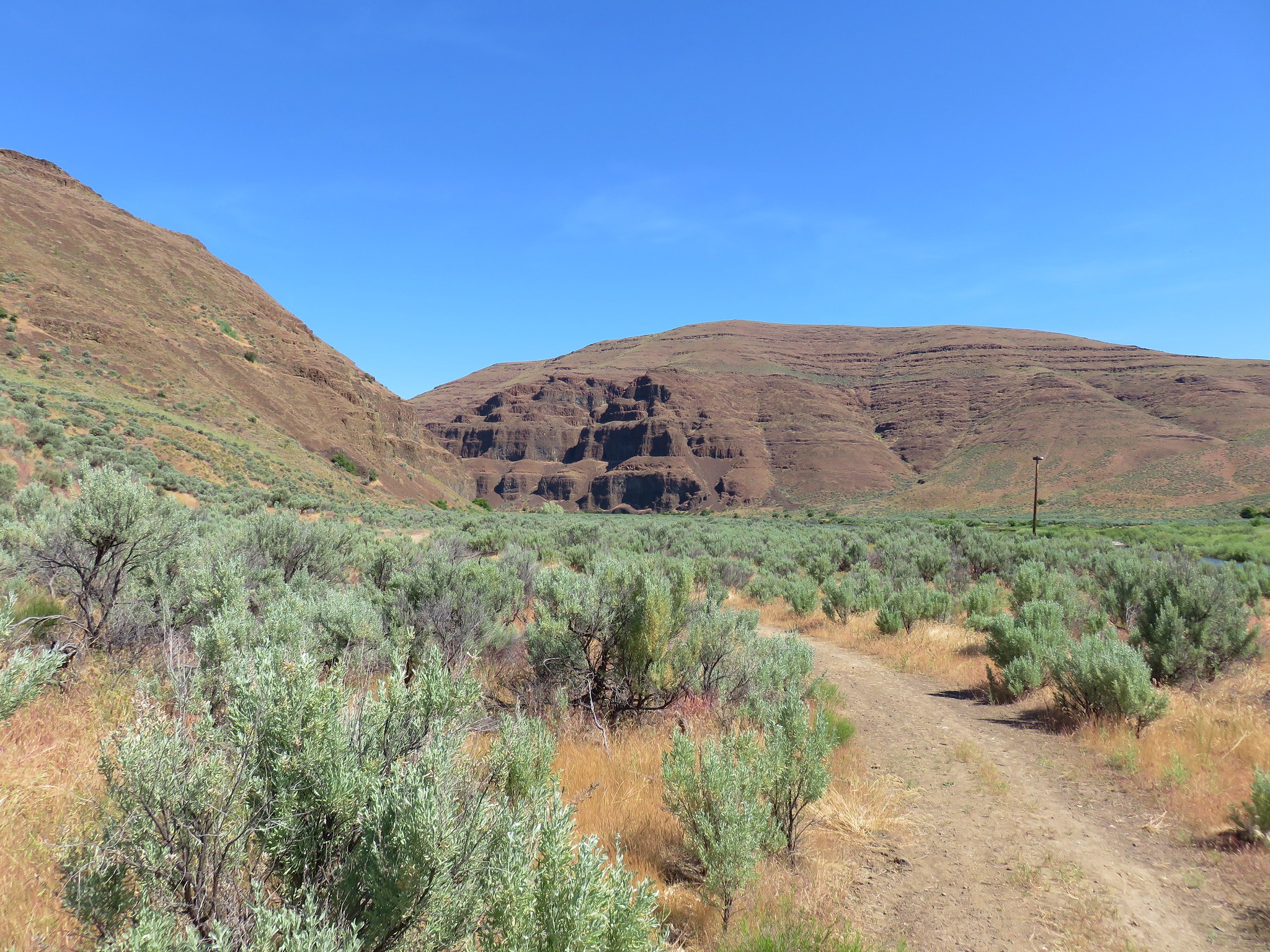
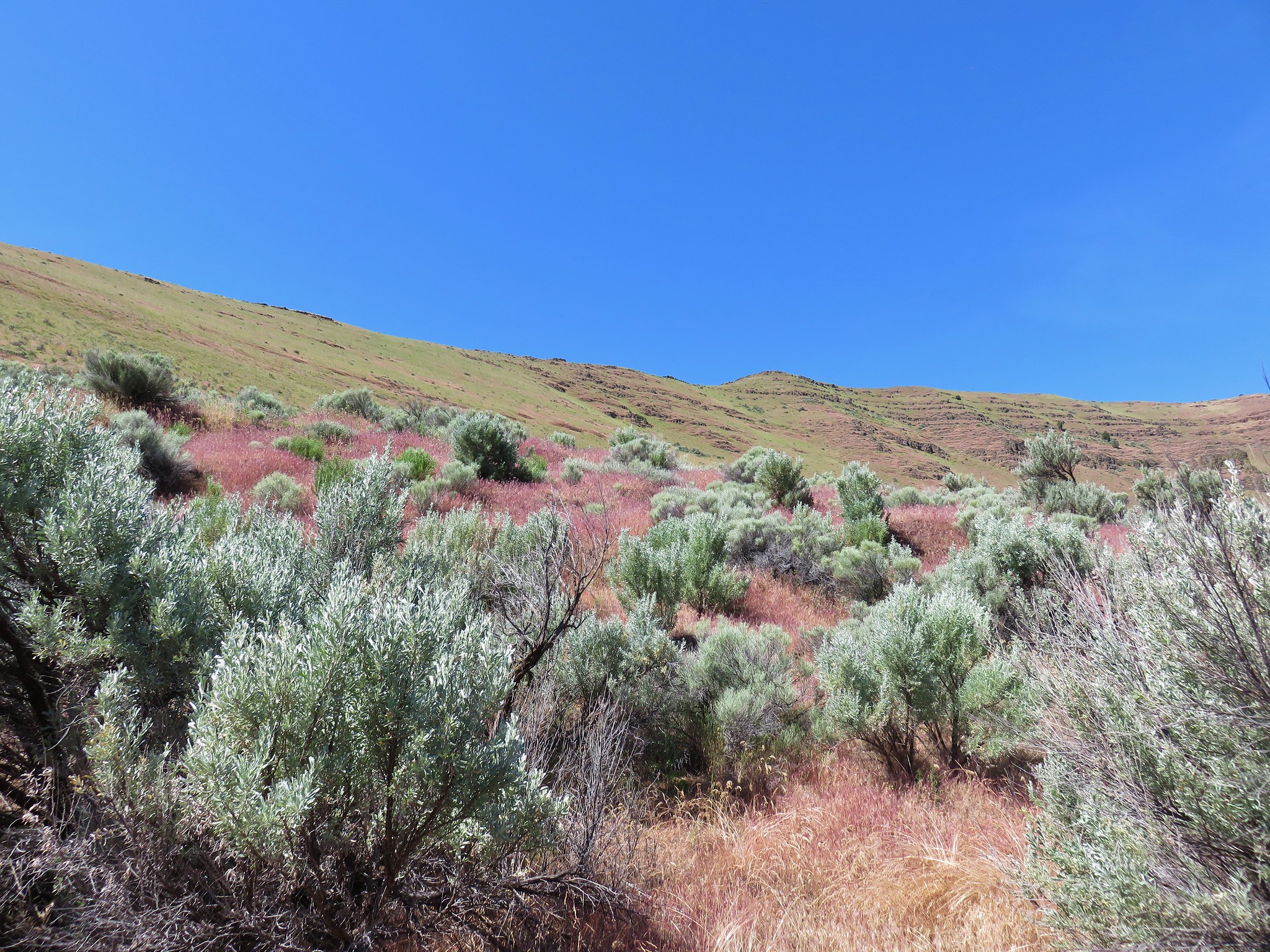
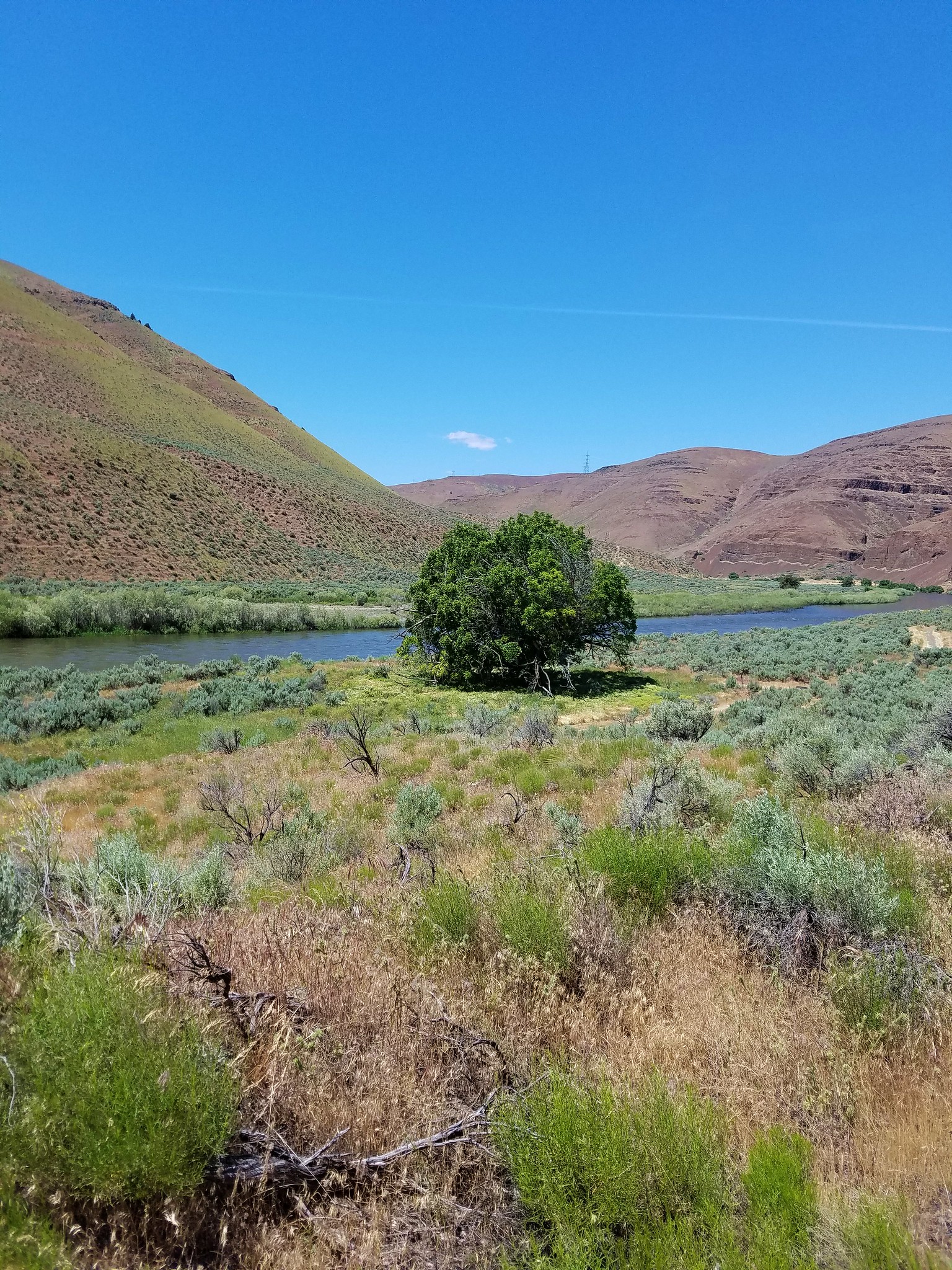
This nearly level 1.5 mile path follows the river upstream to Big Eddy, a lazy whirlpool at a bend in the river. The park has very few trees which allows for some wide open views but it also means a real lack of shade. Considering it was already in the low 60’s as we set off on the Hard Stone Trail at 7:30 we knew we were in for a hot hike.
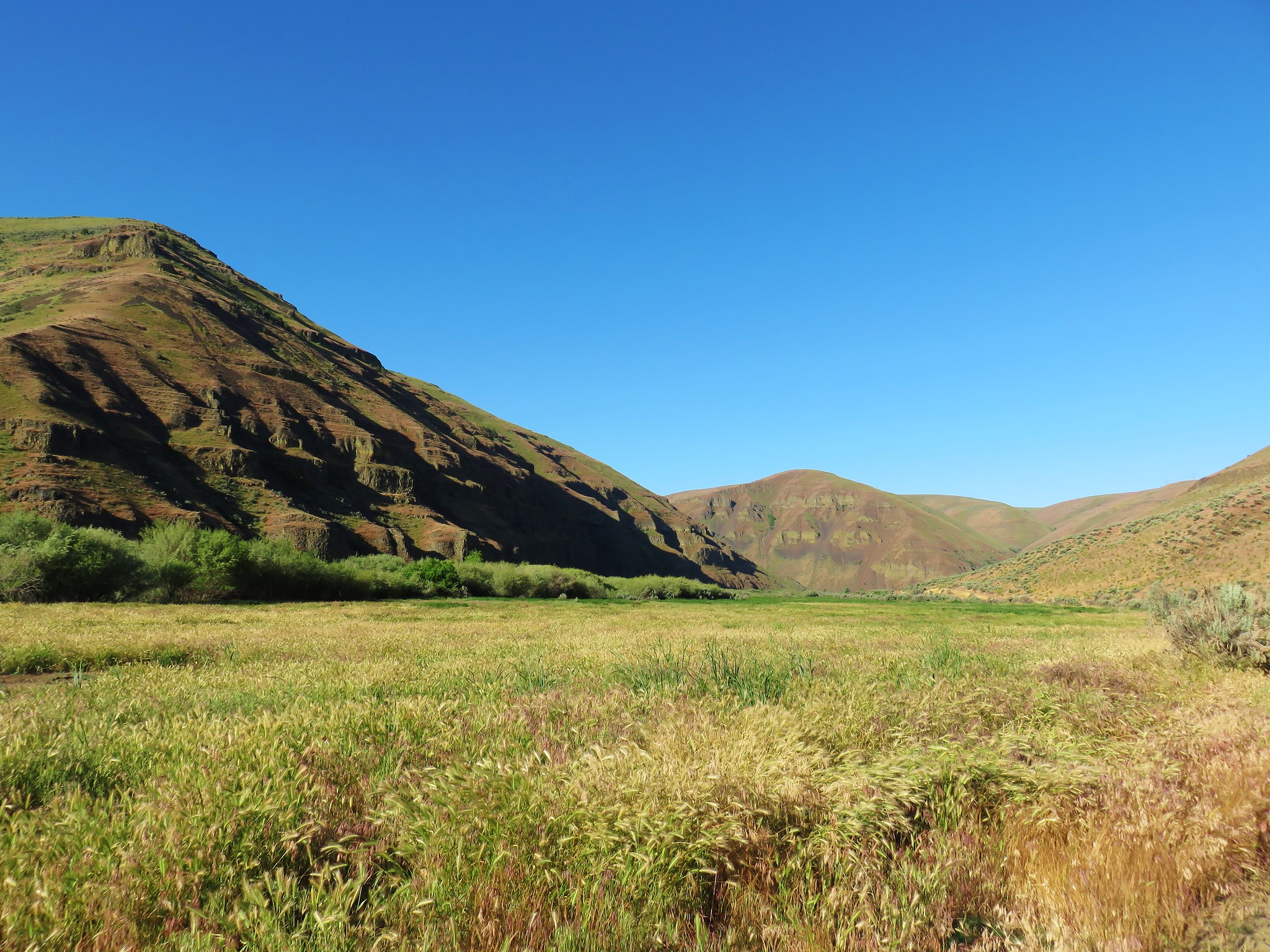

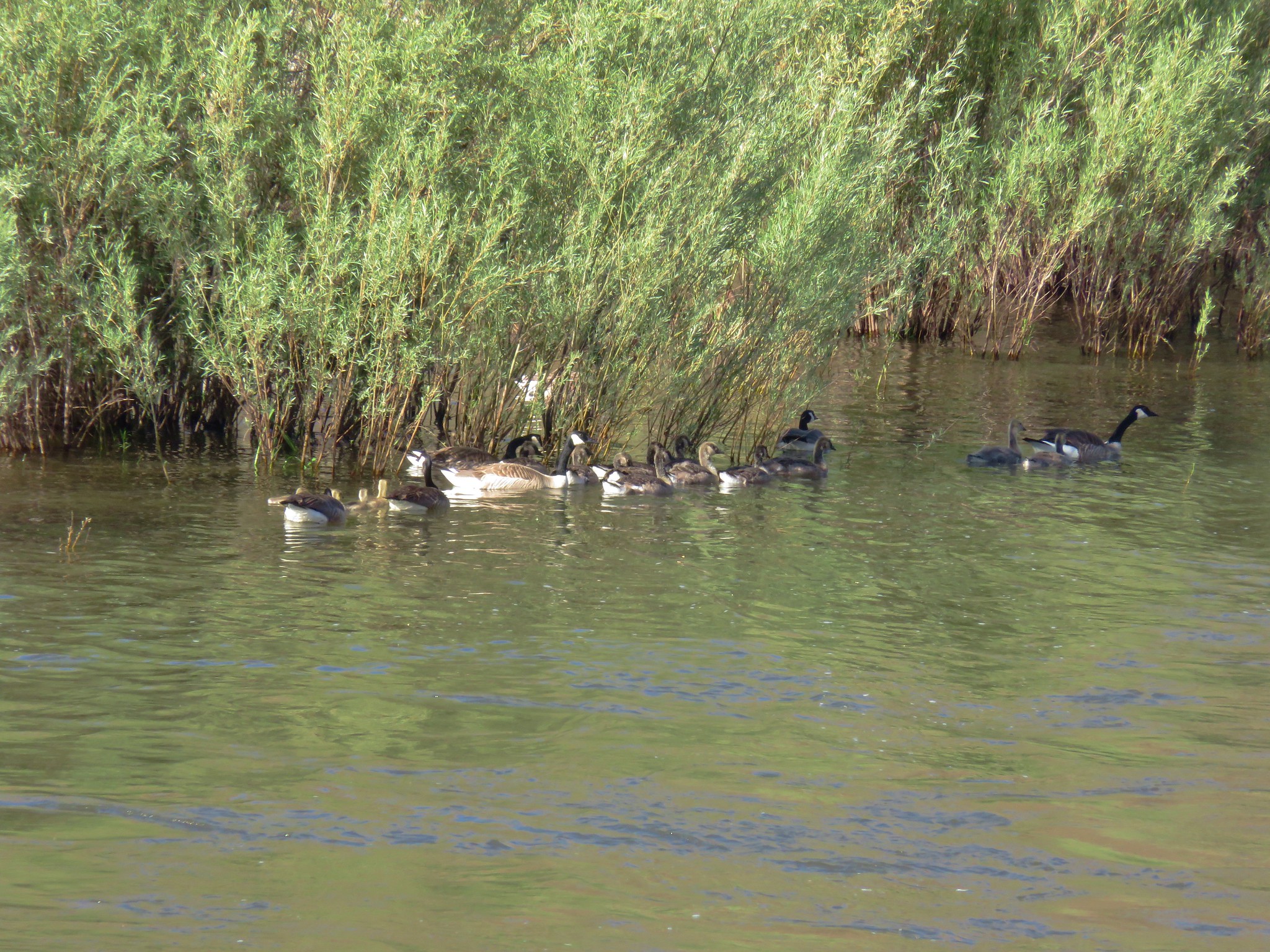
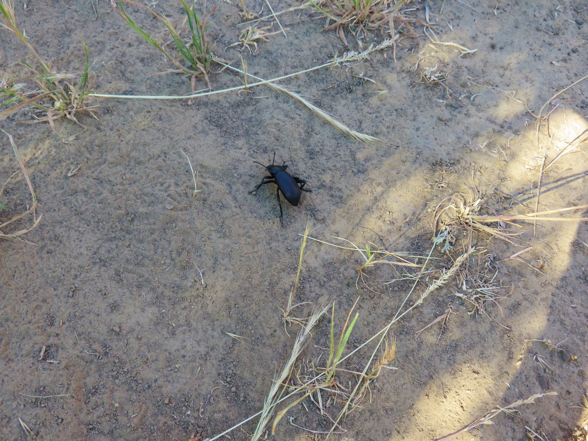
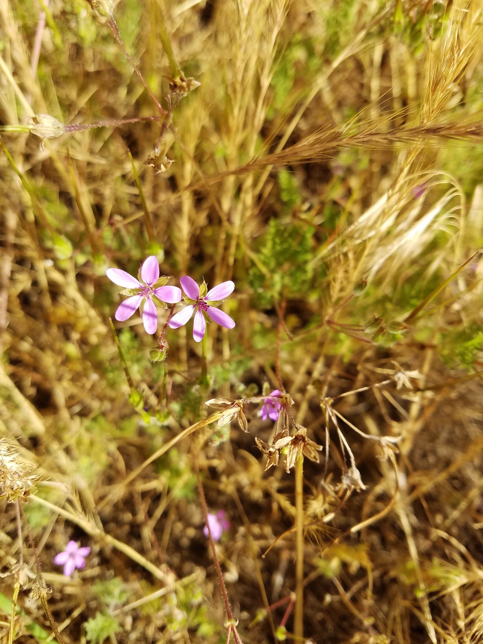
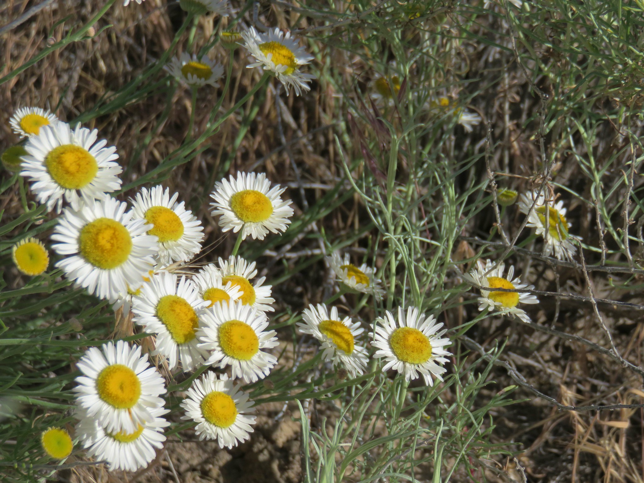
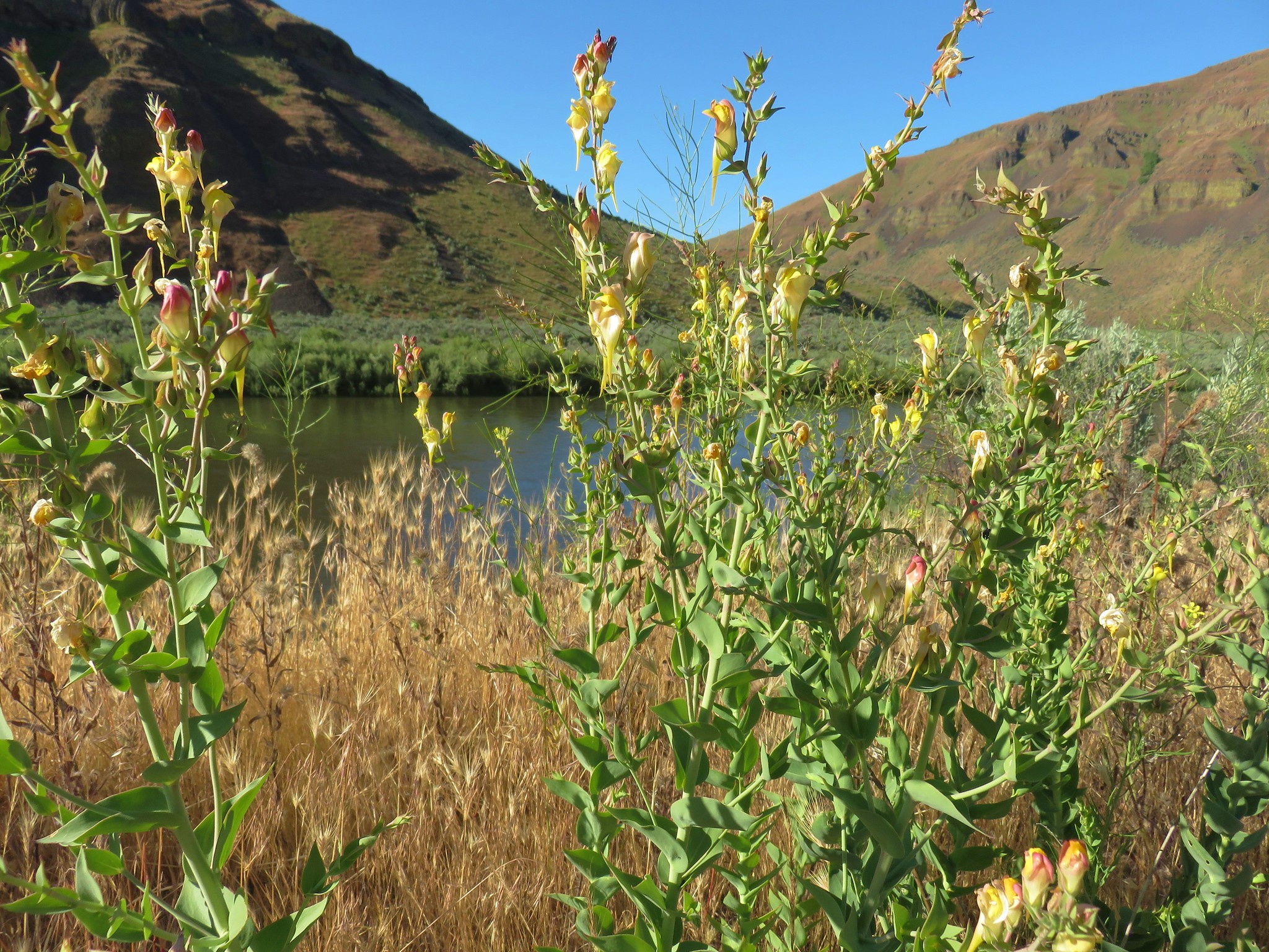
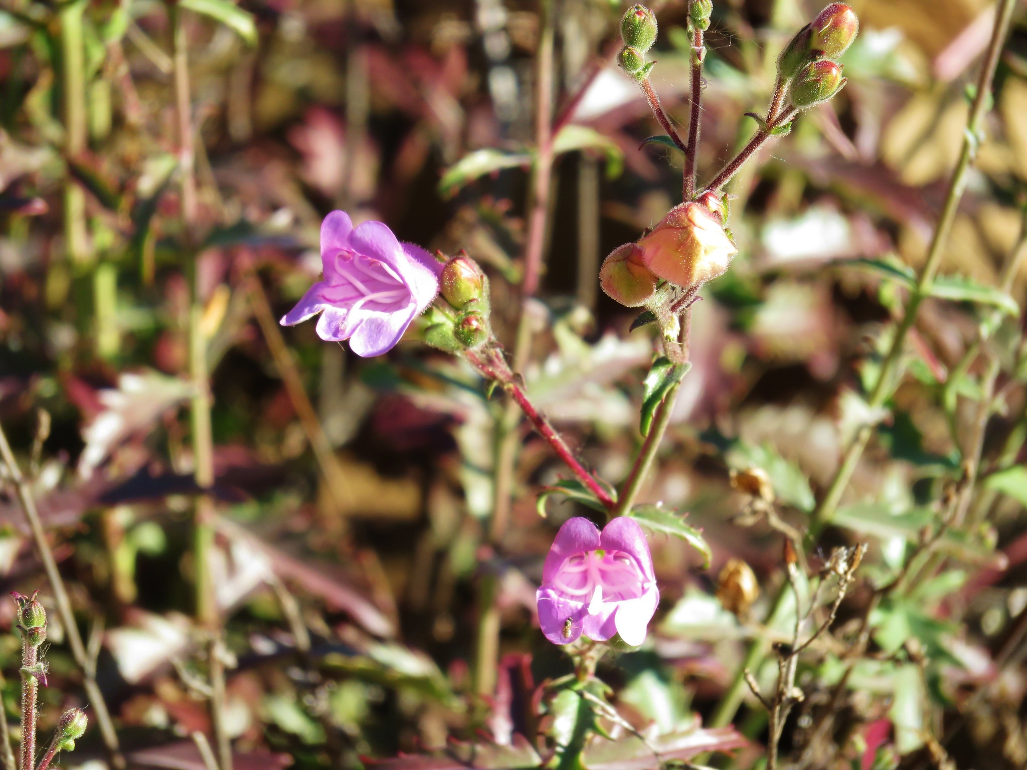
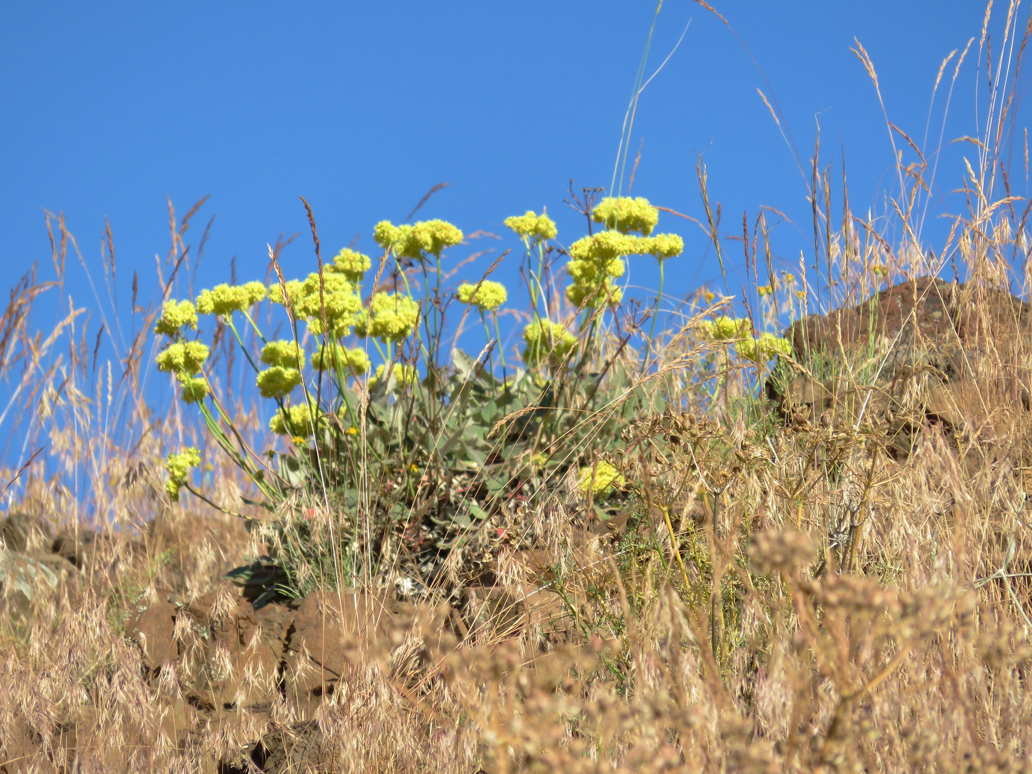
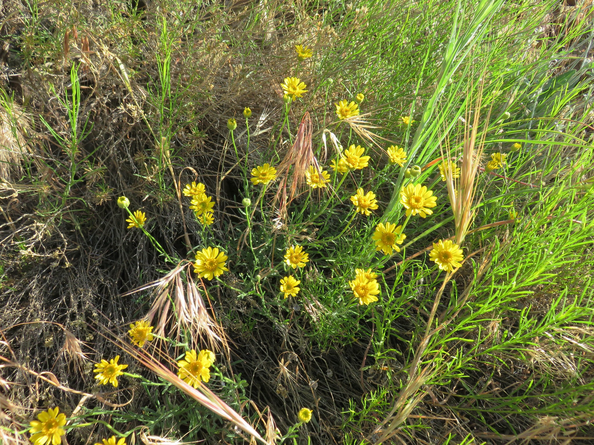
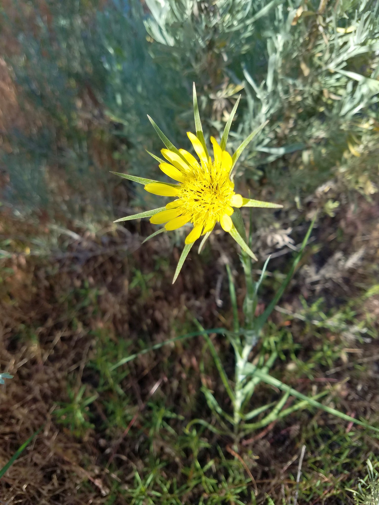
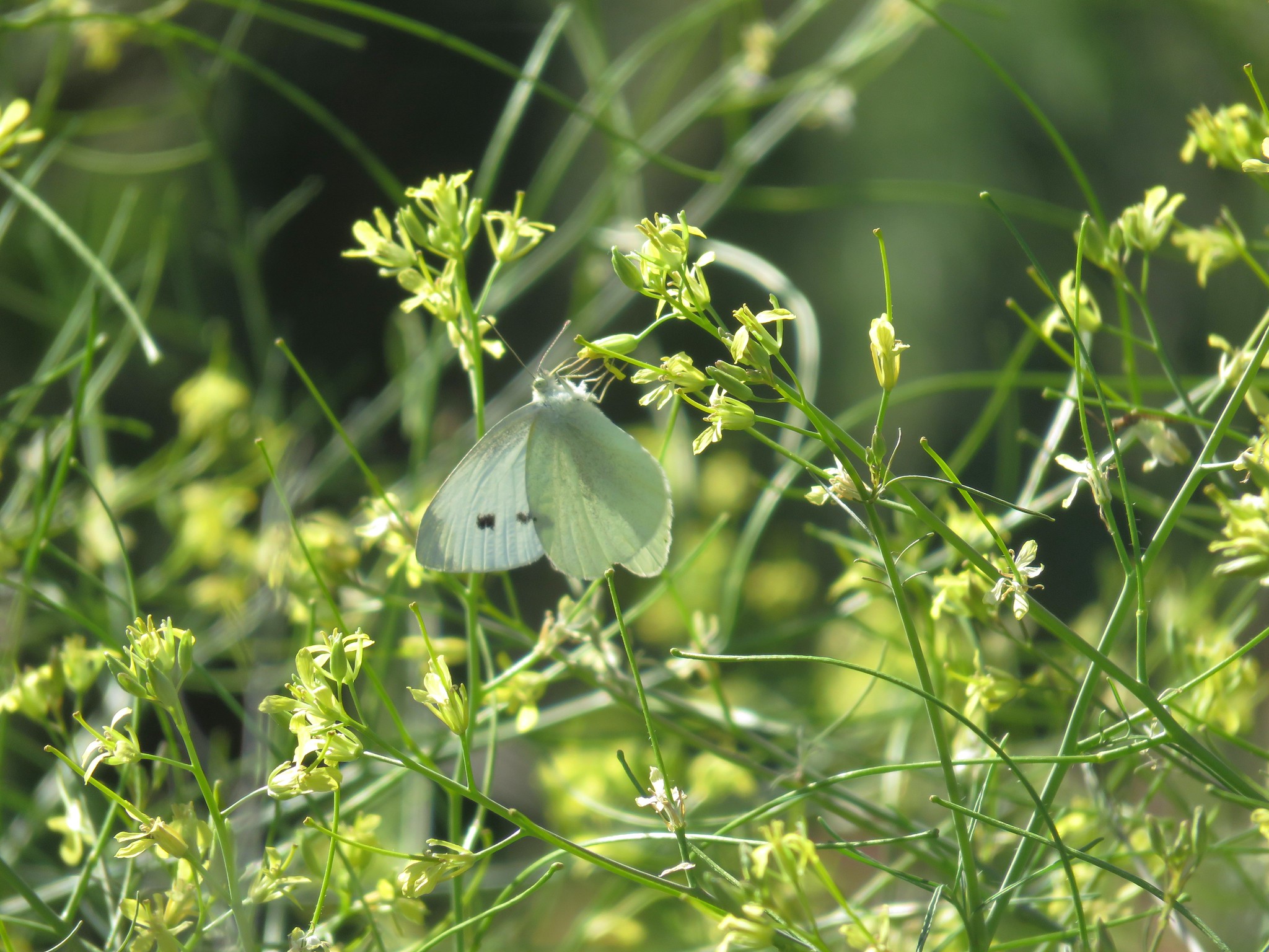
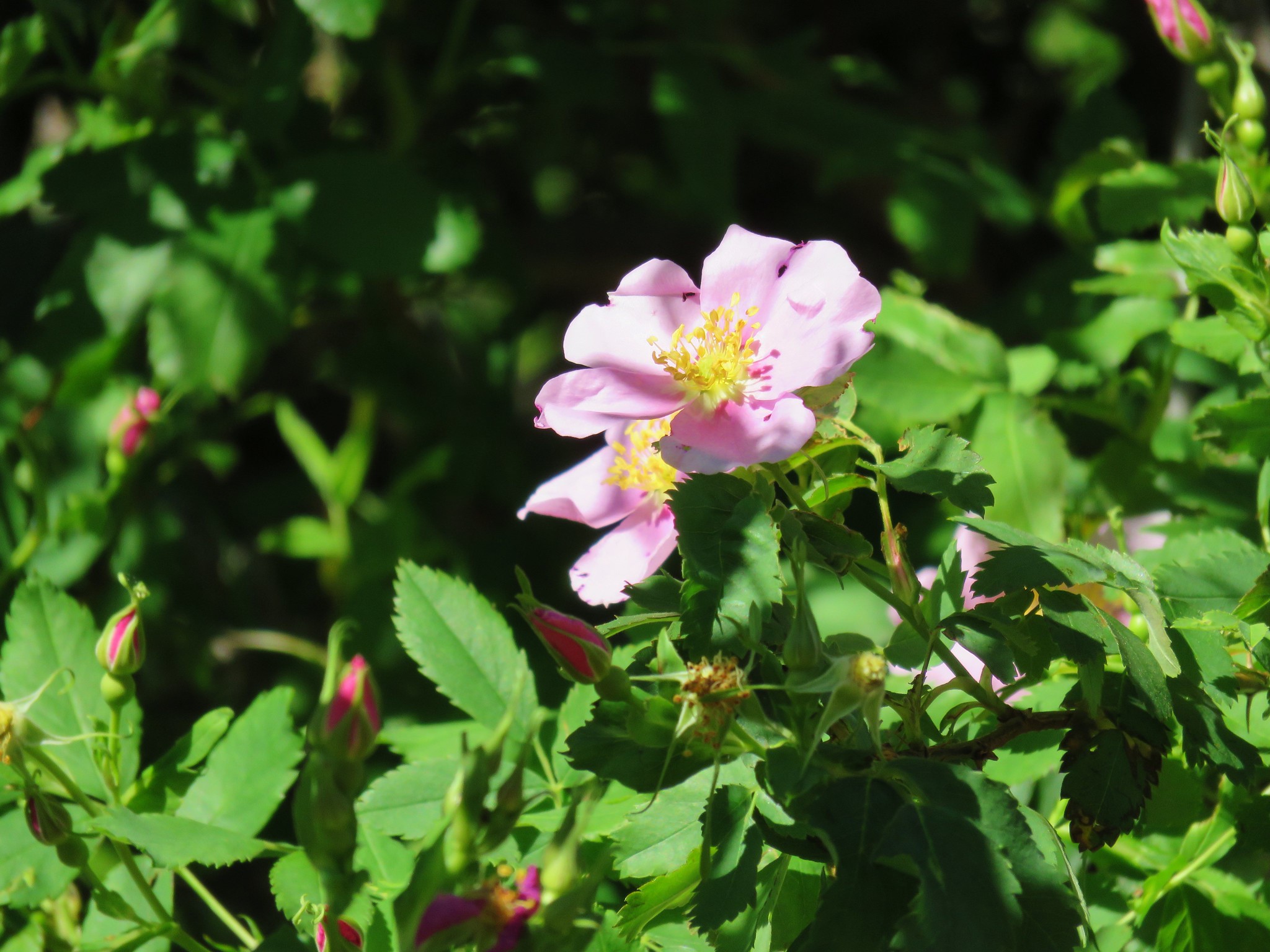
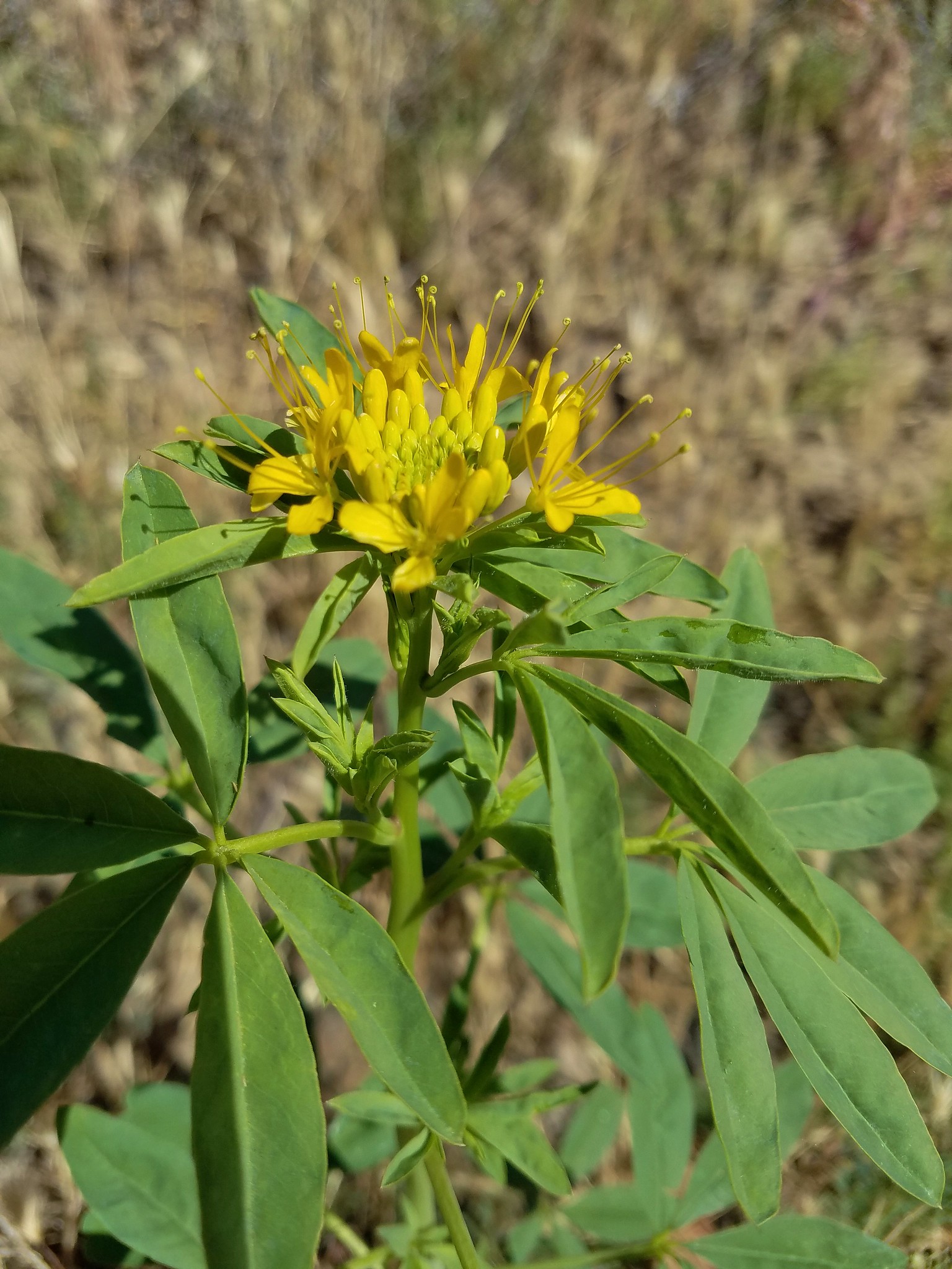
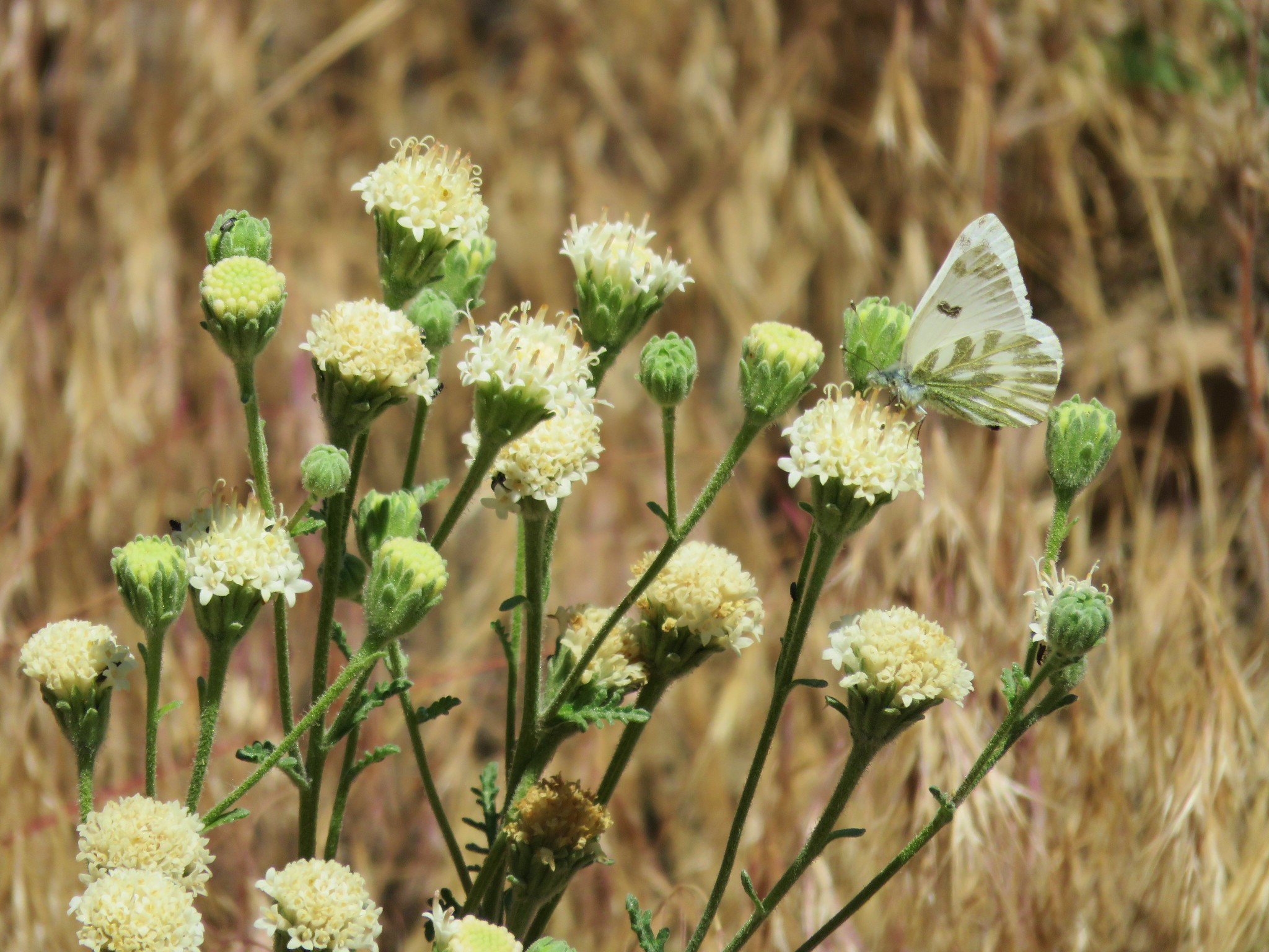
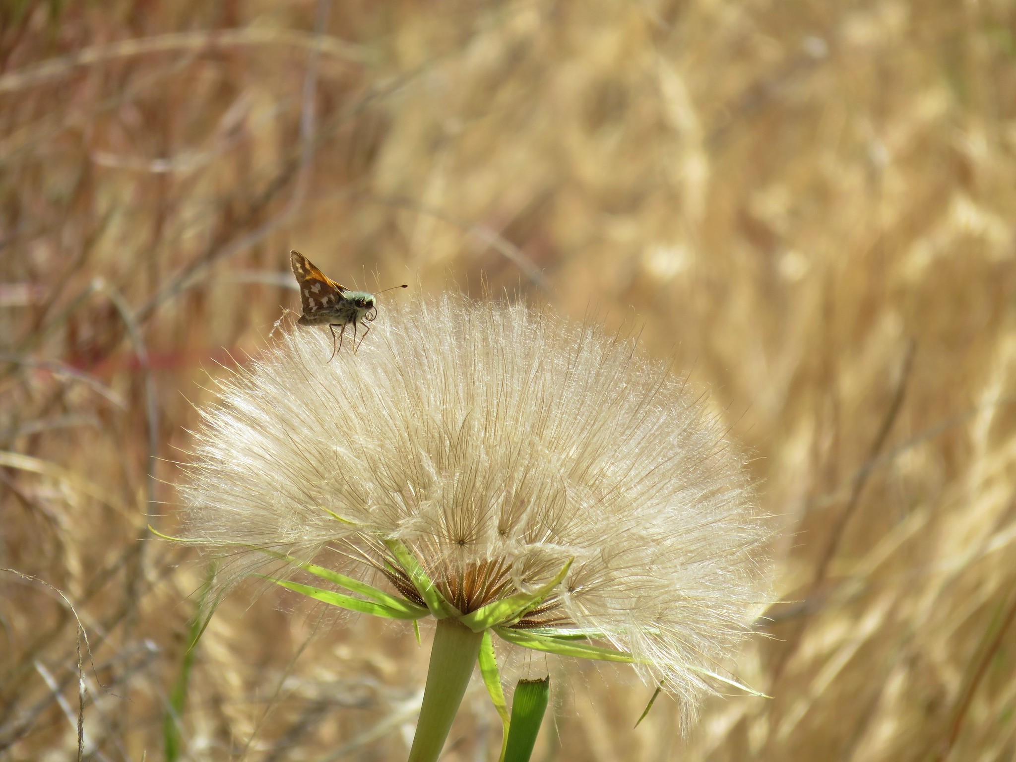
We spent our time enjoying the views of the canyon cliffs and scanning the sagebrush for flowers and animals including rattle snakes which are seen with some regularity along the John Day. We didn’t see any snakes but we saw a few other critters and a nice variety of flowers.


The trail, which followed an old road bed, officially ended at Big Eddy which was where we turned back, but the road continues on.
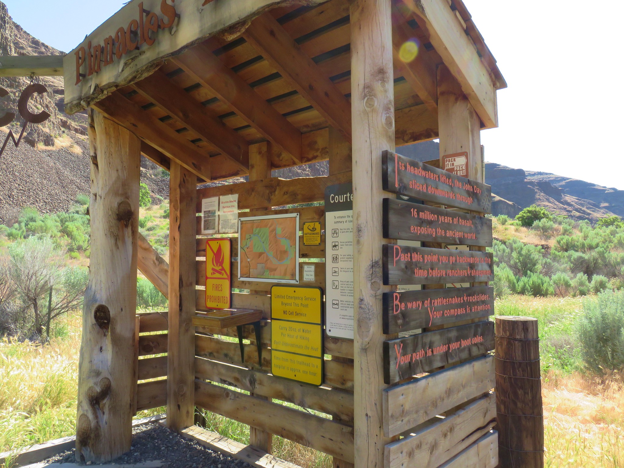
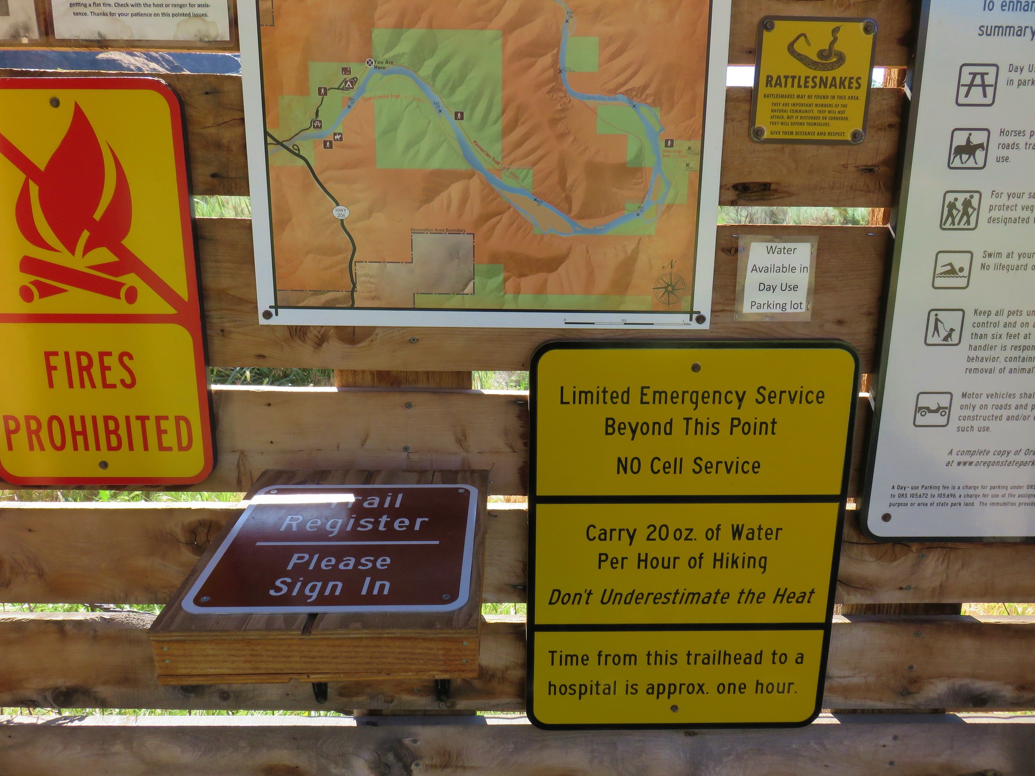
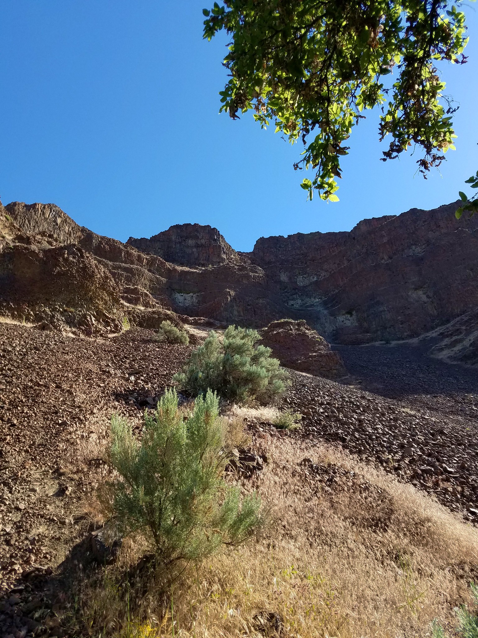
After returning to our car we drove further into the park following signs for the Pinnacles Trail parking area. We set off following signs for the trail. After a short walk through a camping area the path led to a gate with a signboard and trail register.
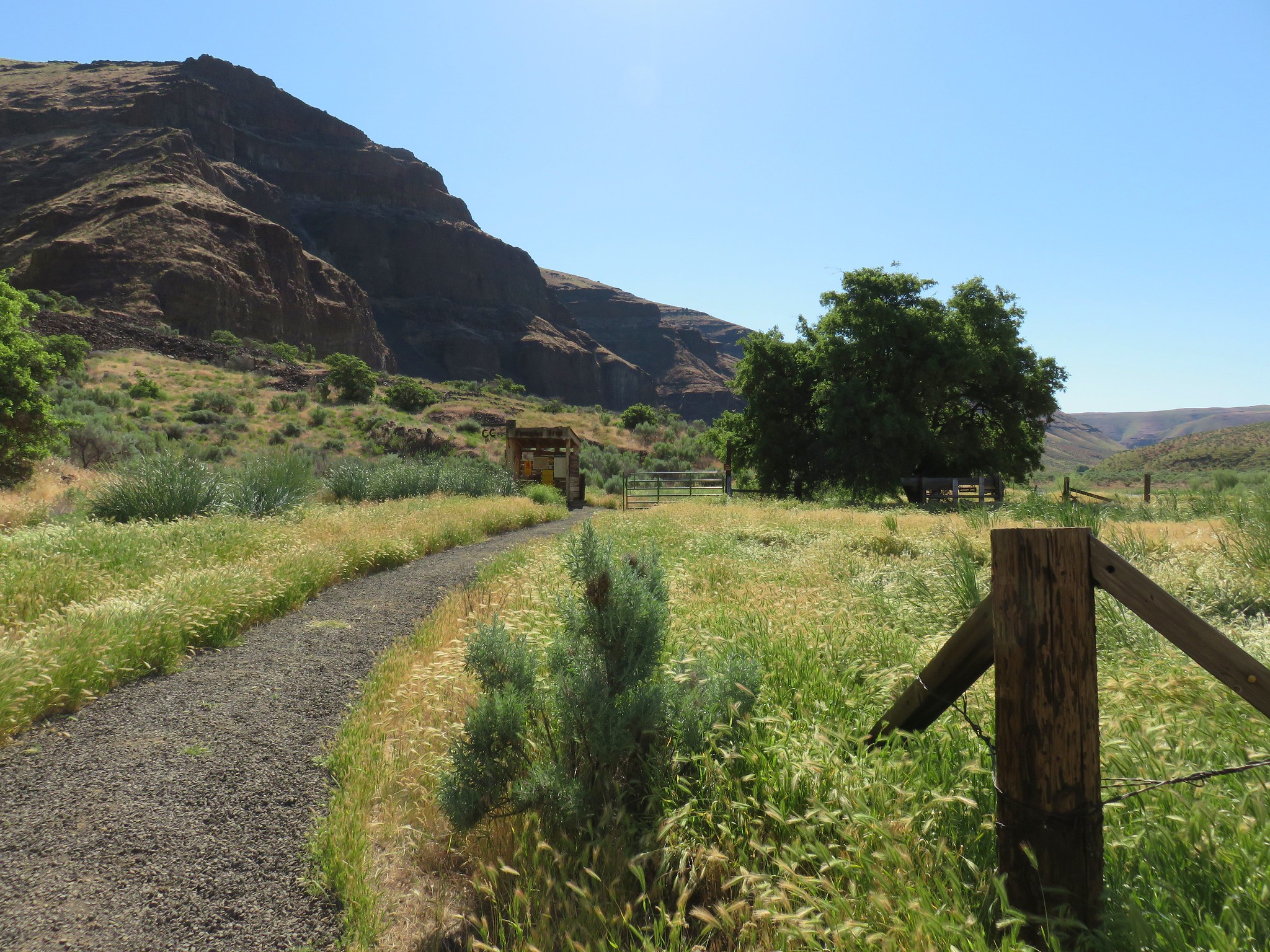
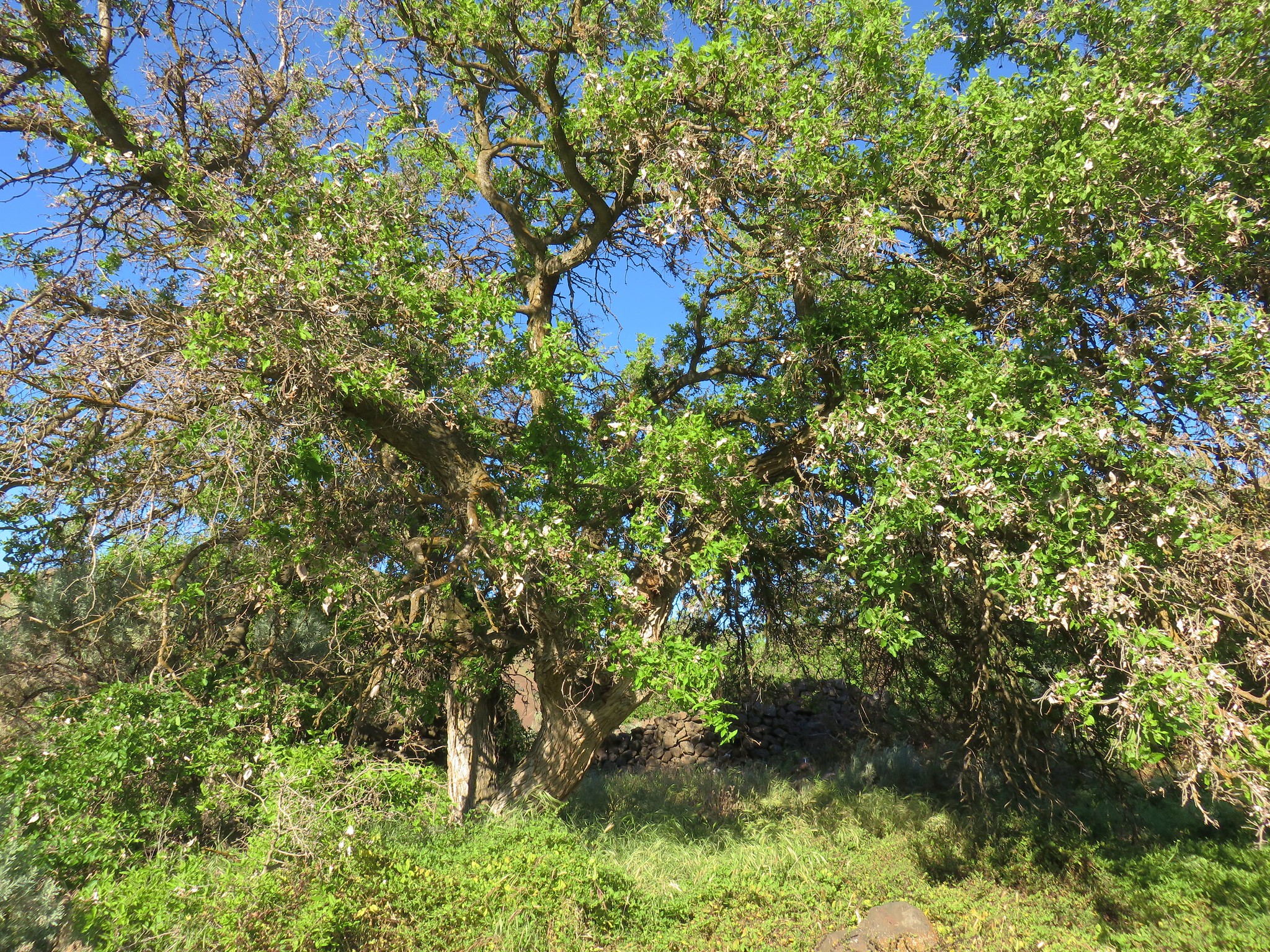
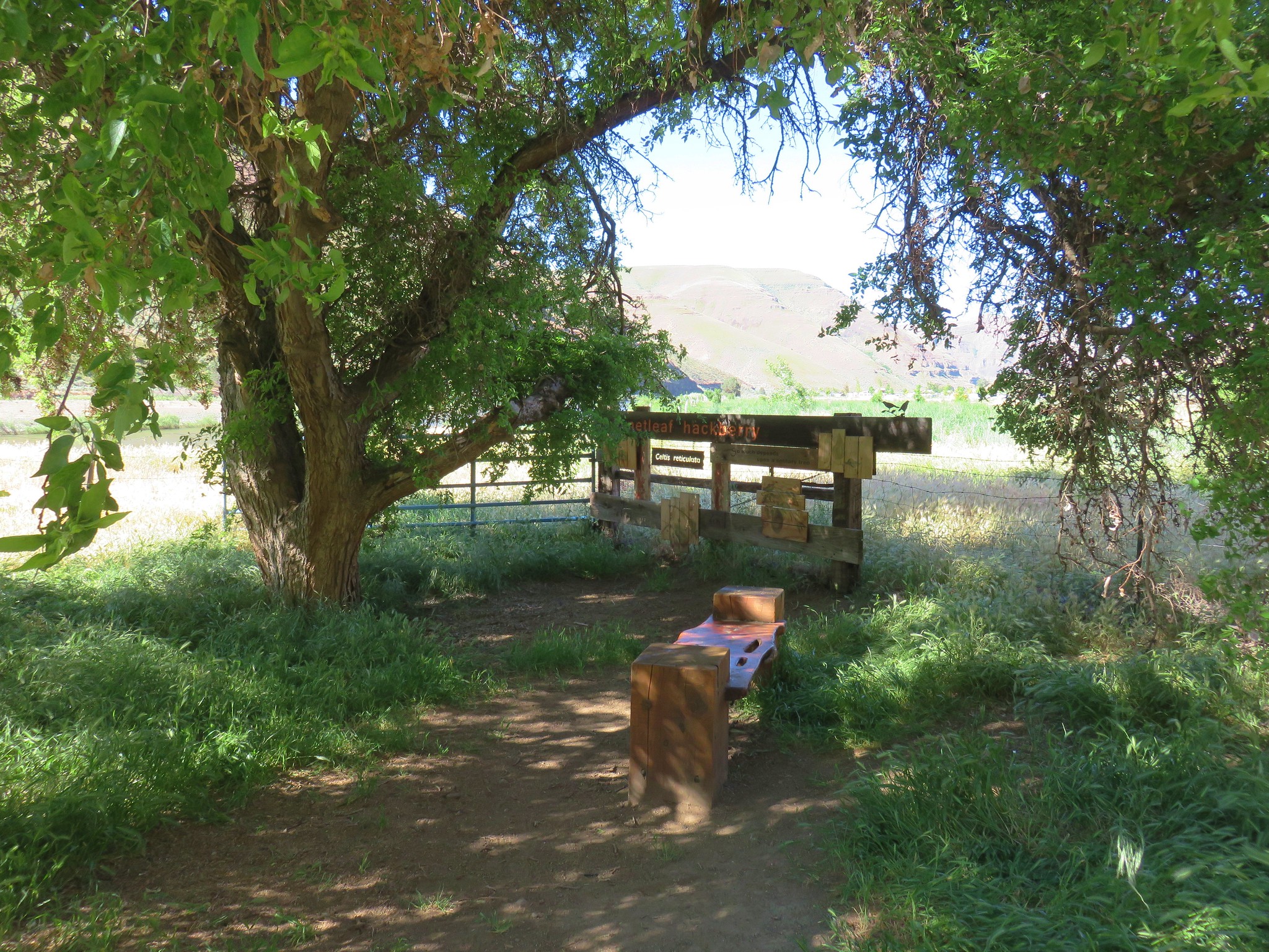
A nearby walnut tree offered some cool shade.
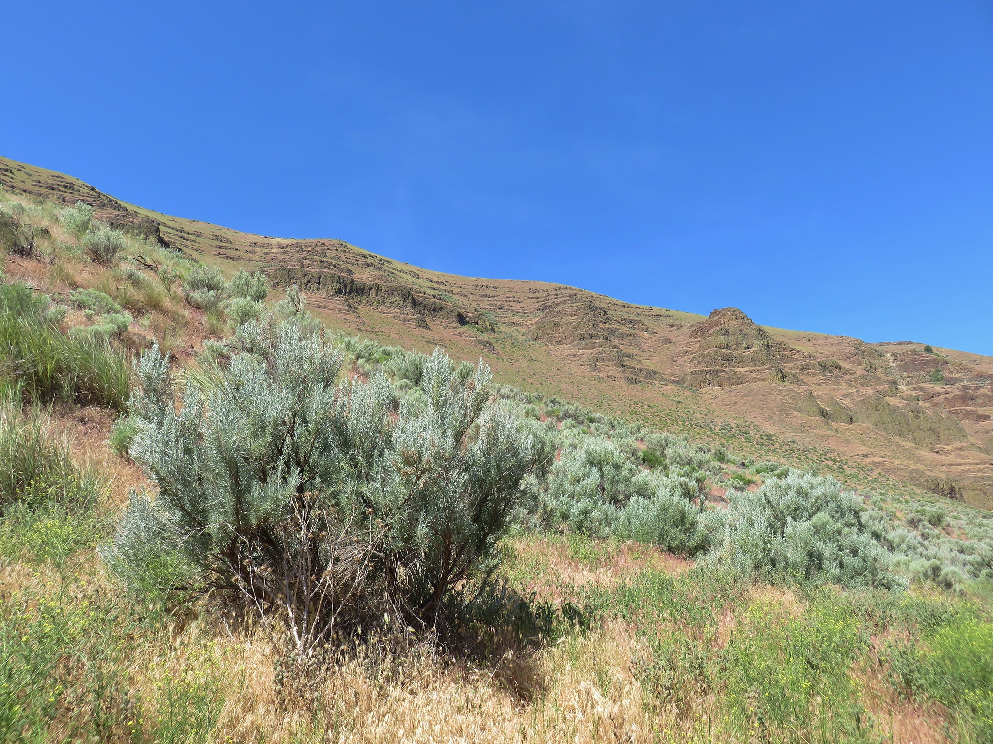
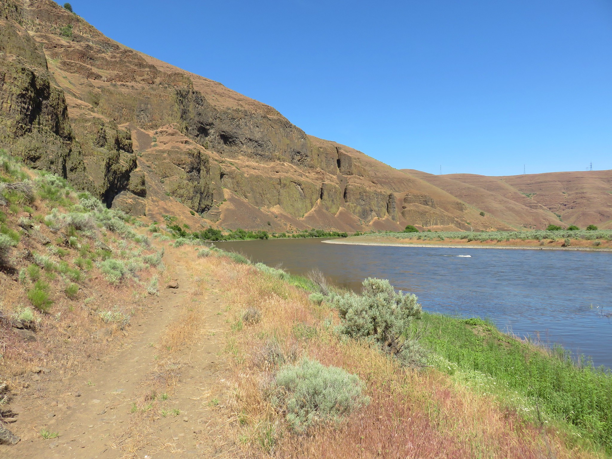
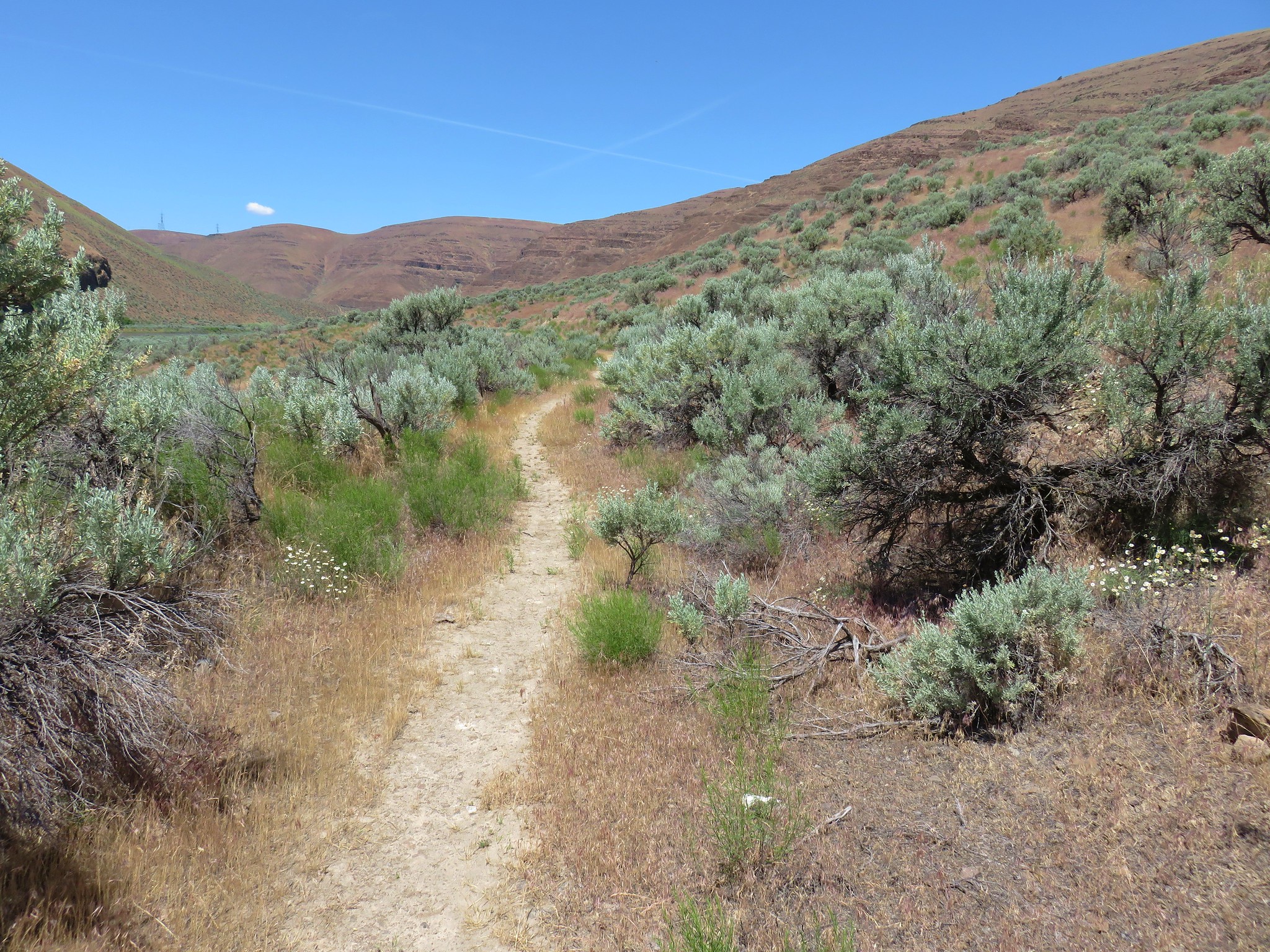
The Pinnacles Trail follows another old road bed along the river downstream a total of 4.3 miles. 
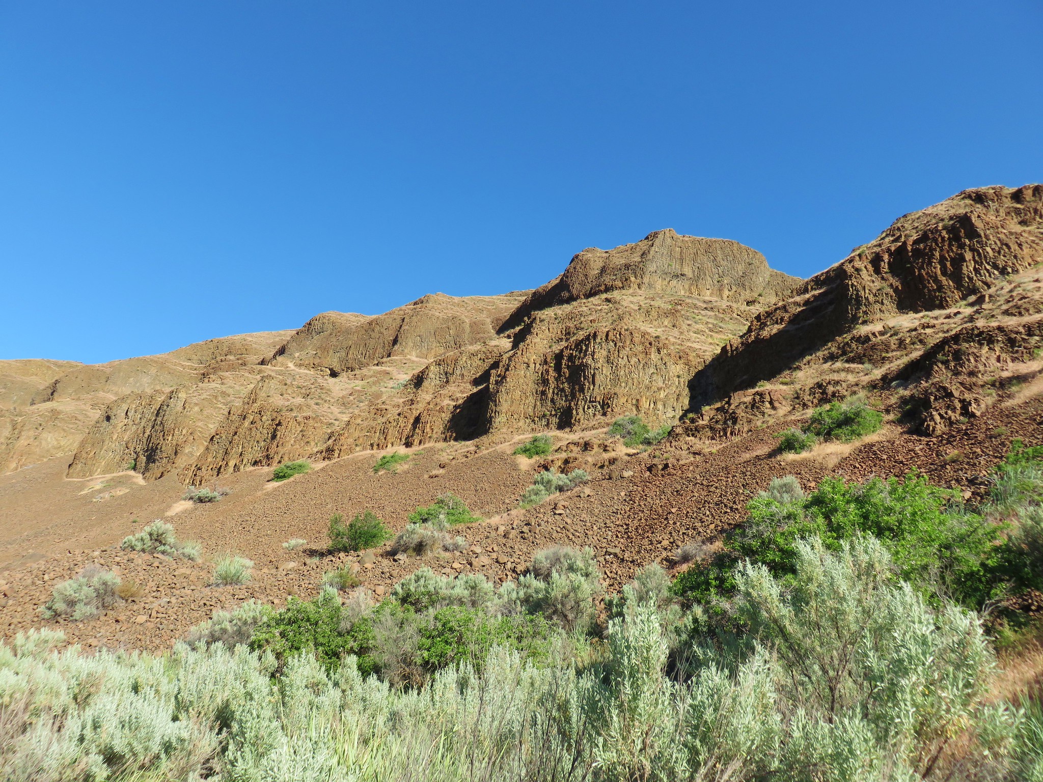
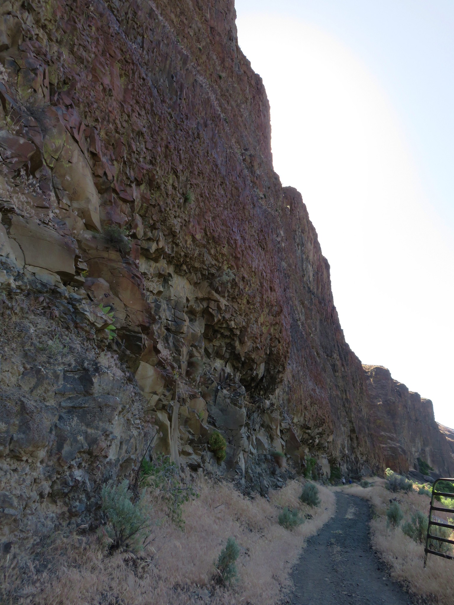
The cliffs along the trail were captivating. It was hard not to turn off the trail just to see how far one could get up some of the gullies and side canyons.
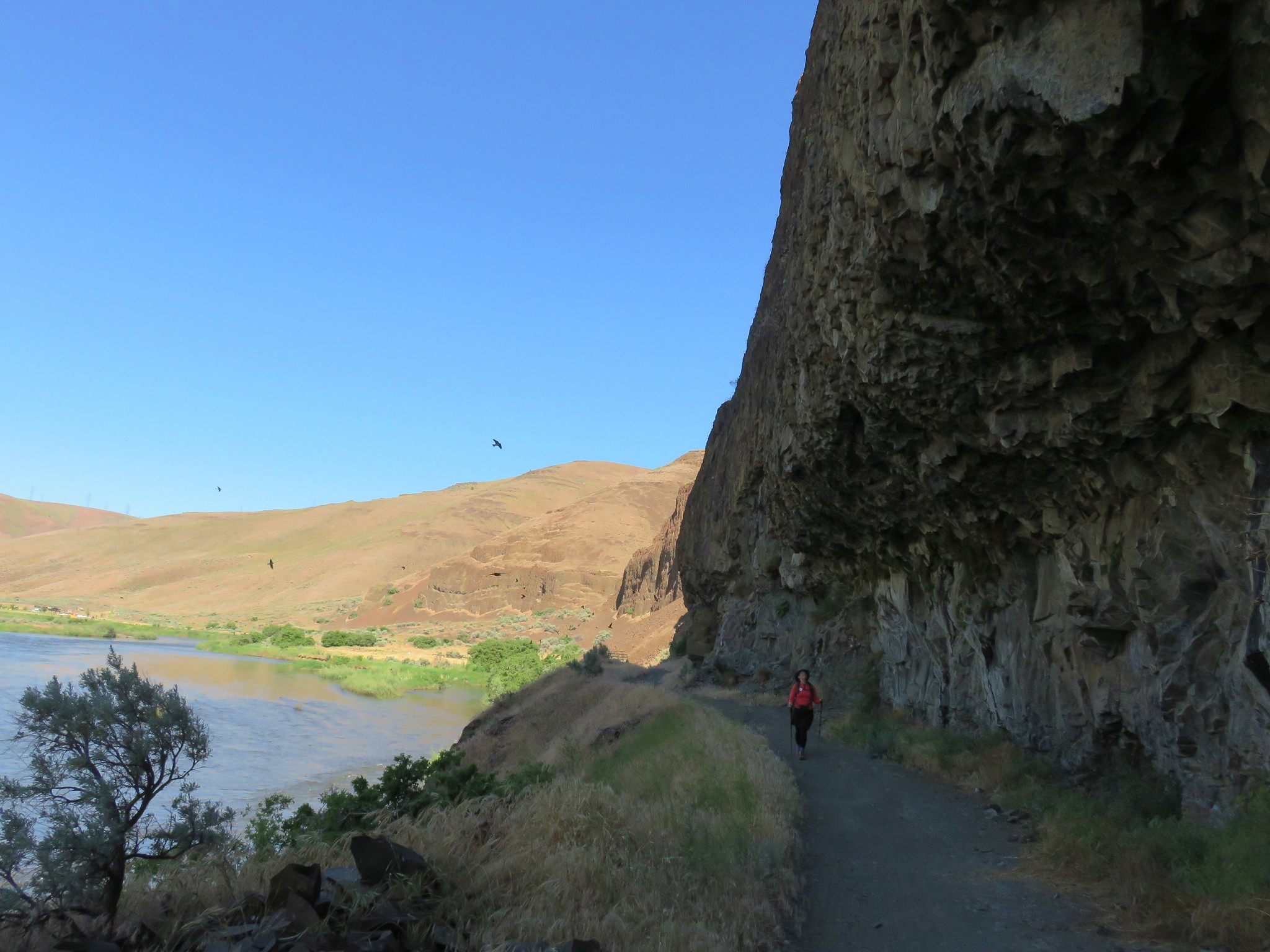
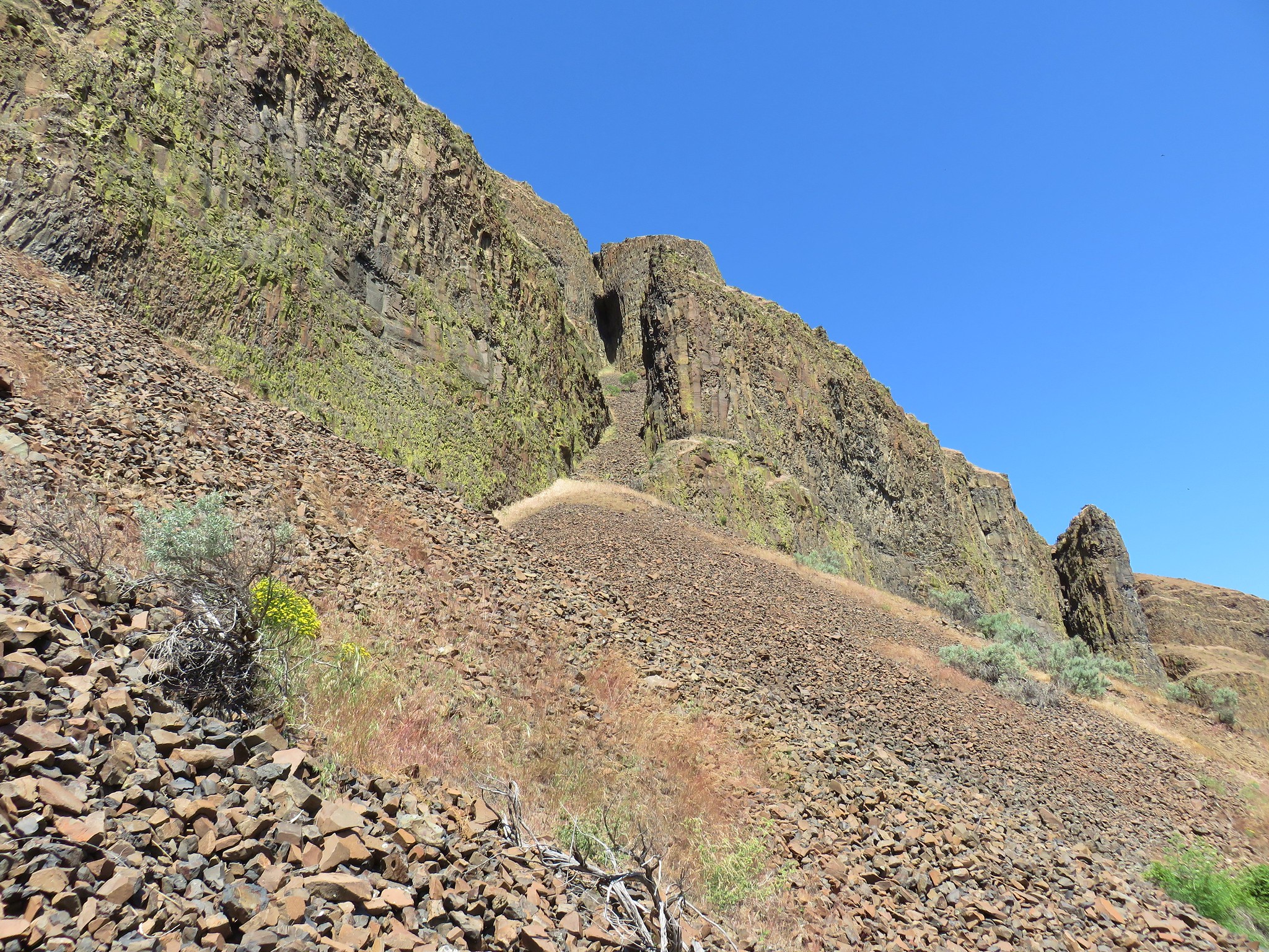
A short distance from the gate the cliffs crowded the trail.
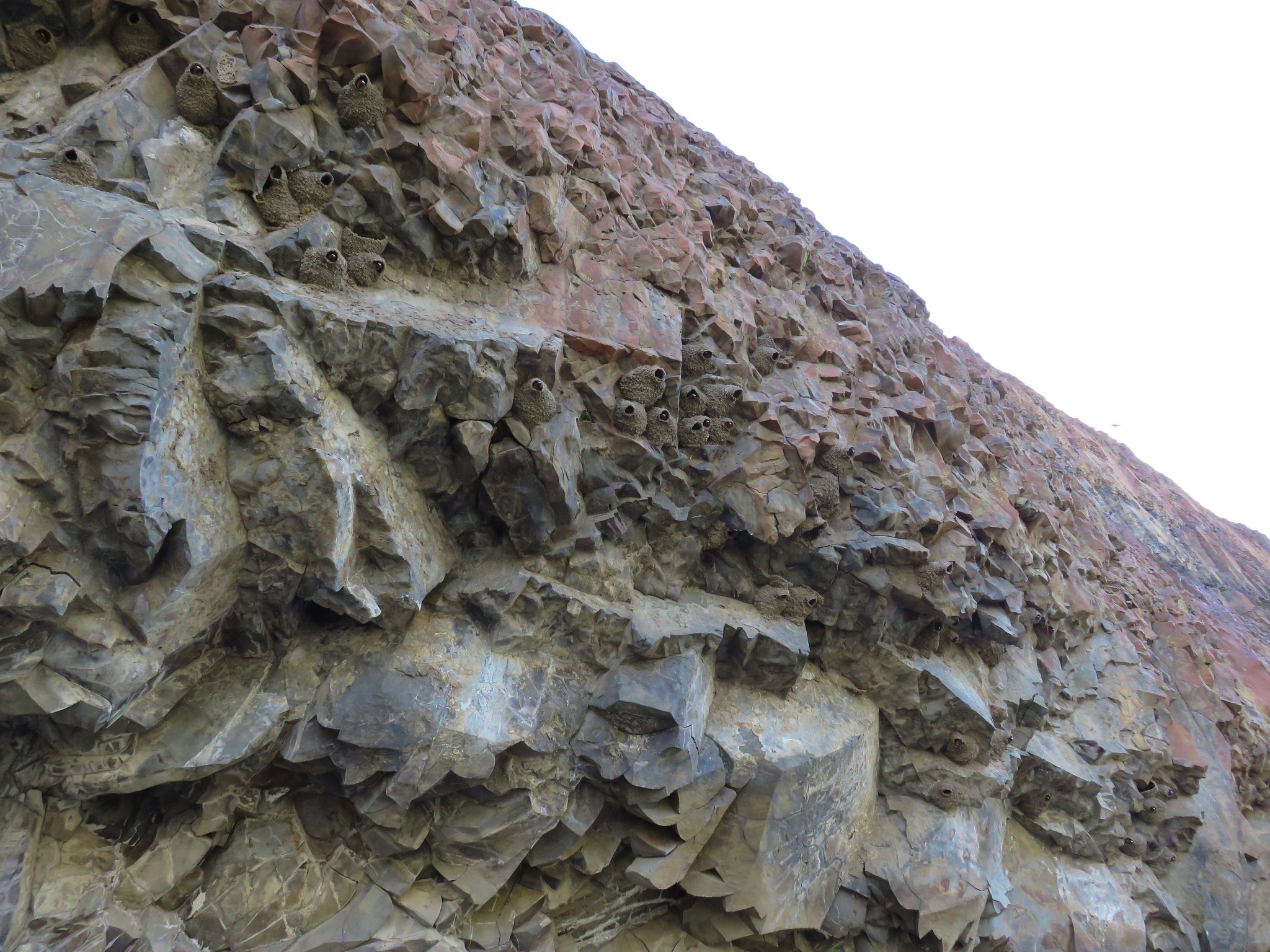
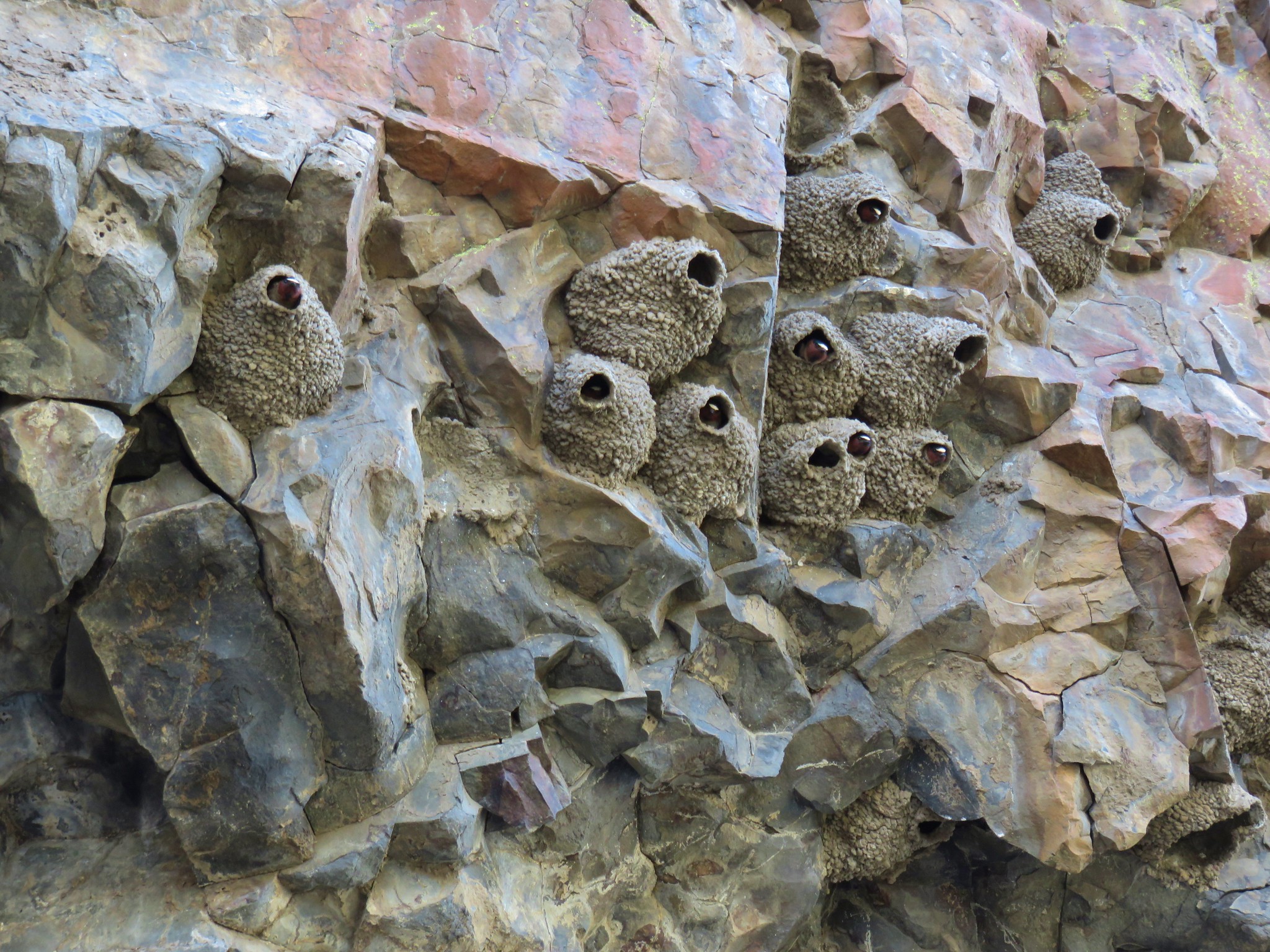
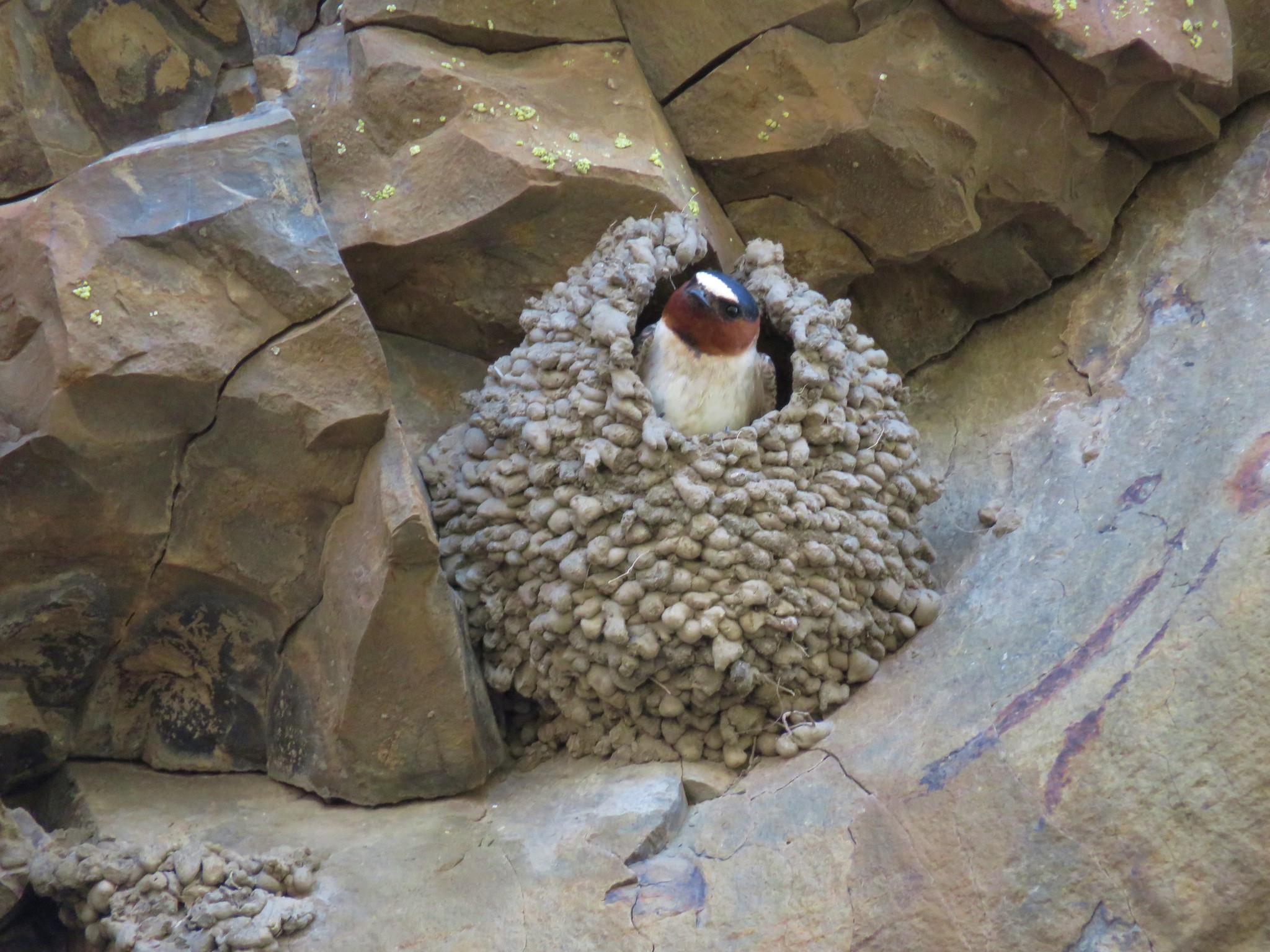
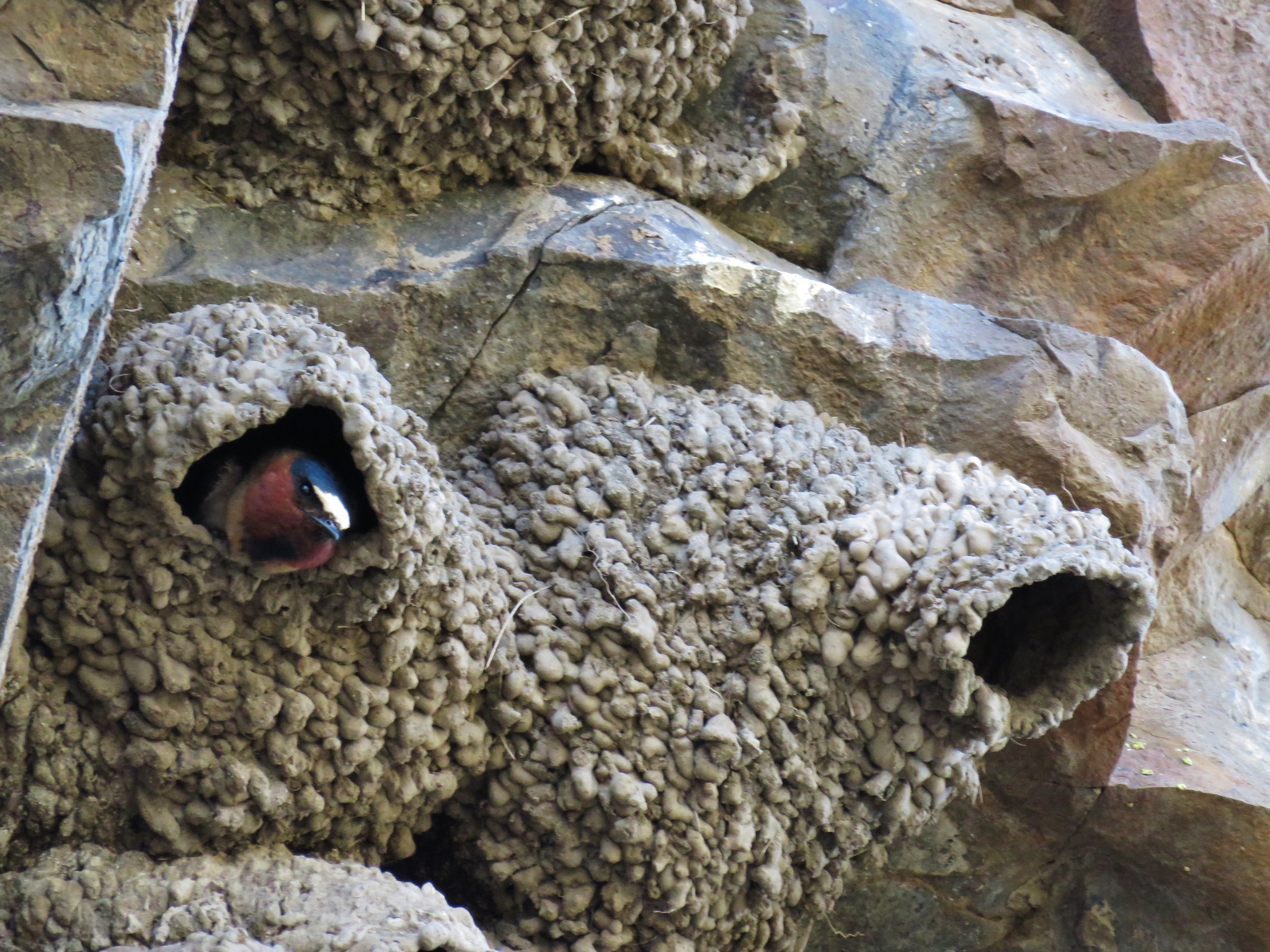
The cliffs hung over the trail and were home to countless American Cliff Swallows which sped to and from their nests as we passed underneath.
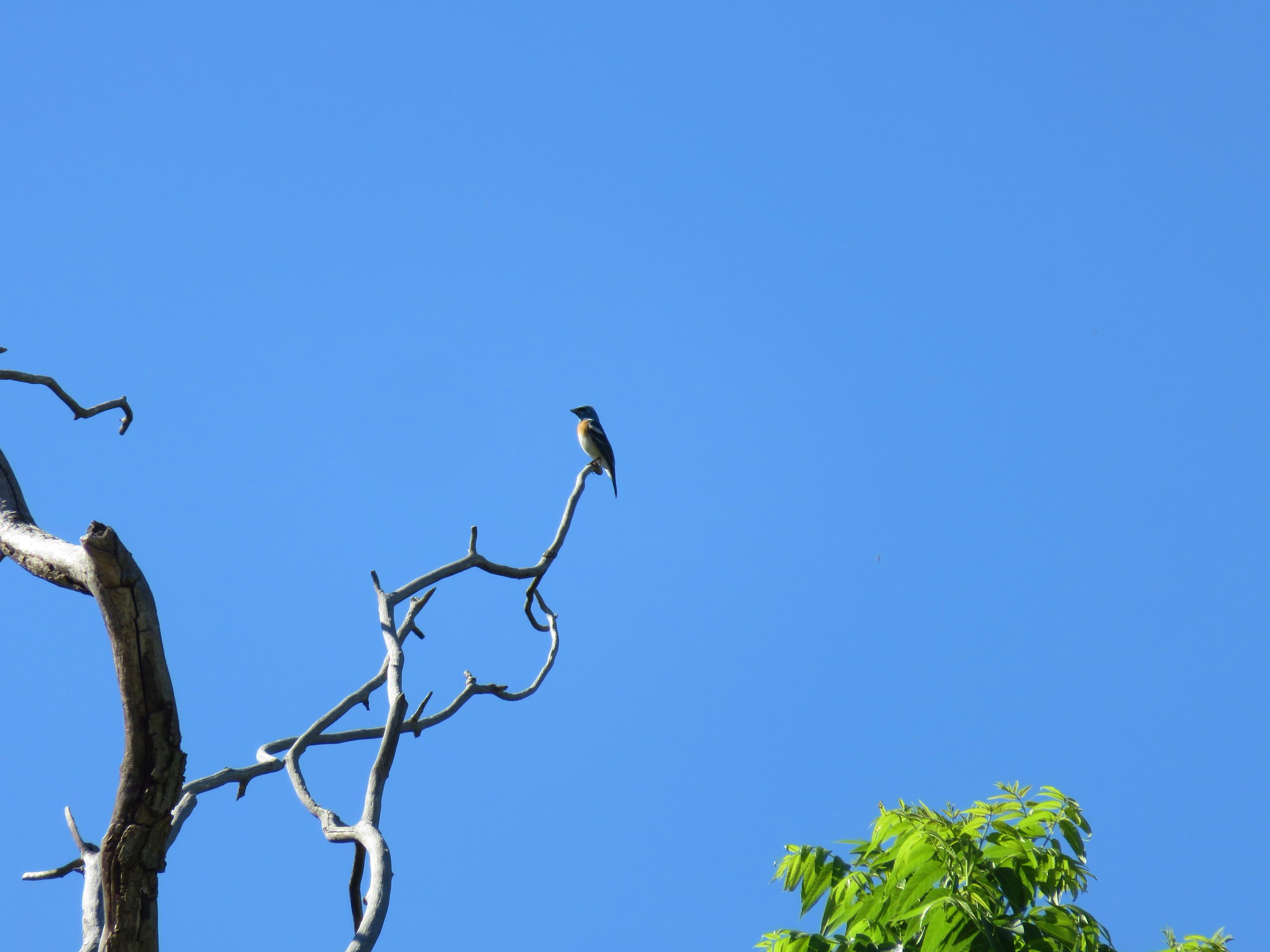
Just under a mile and half along the trail brought us to a neat old walnut tree where we spotted a colorful lazuli bunting.

A trail near the tree provides river access and another trail led slightly uphill away from the tree. The sign named this the D & H Trail and indicated that it returned to the Pinnacles Trail further downstream. We decided we’d take it on the return trip after realizing (after way too long a time) that those were our initials, D & H.
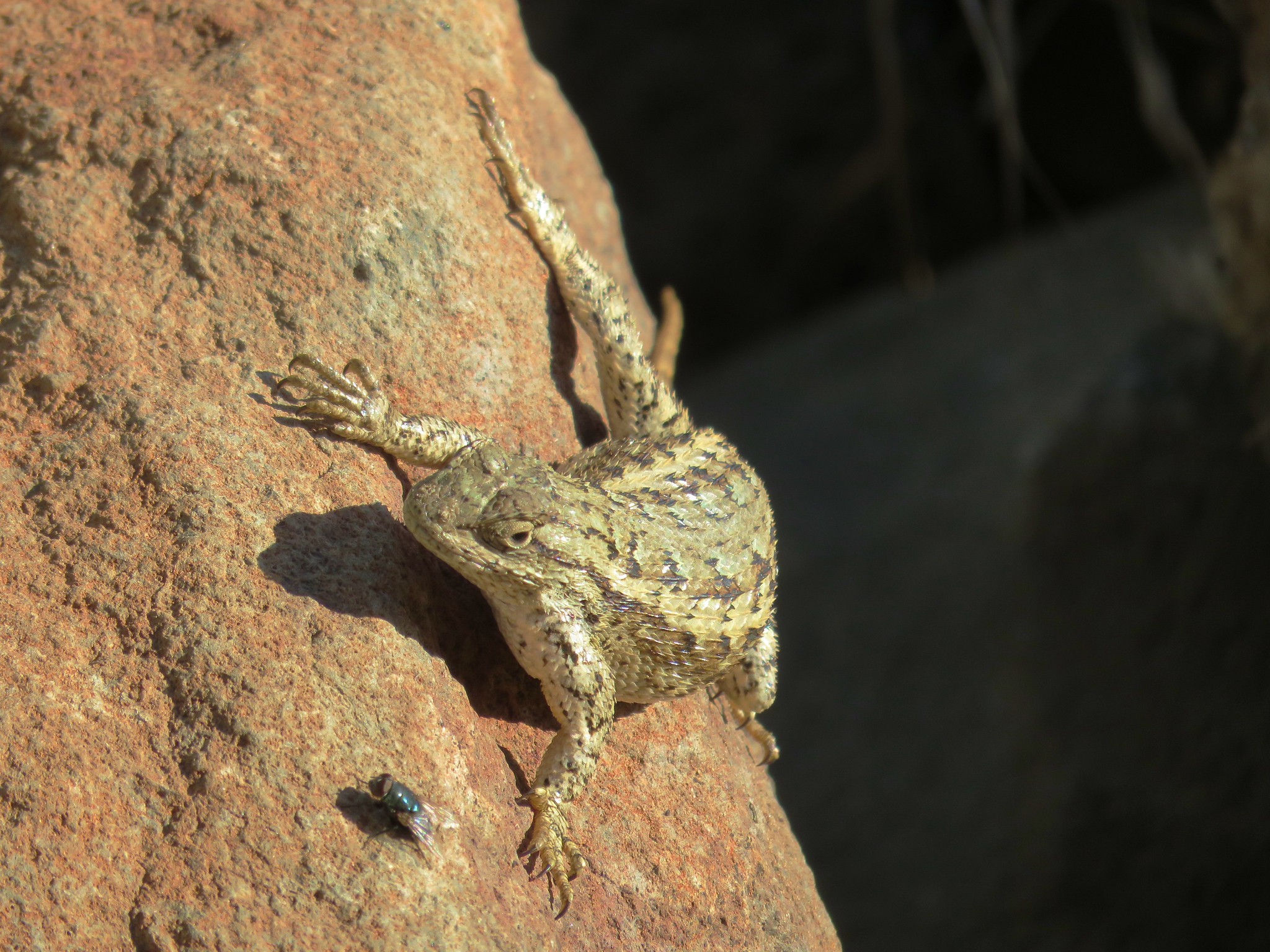
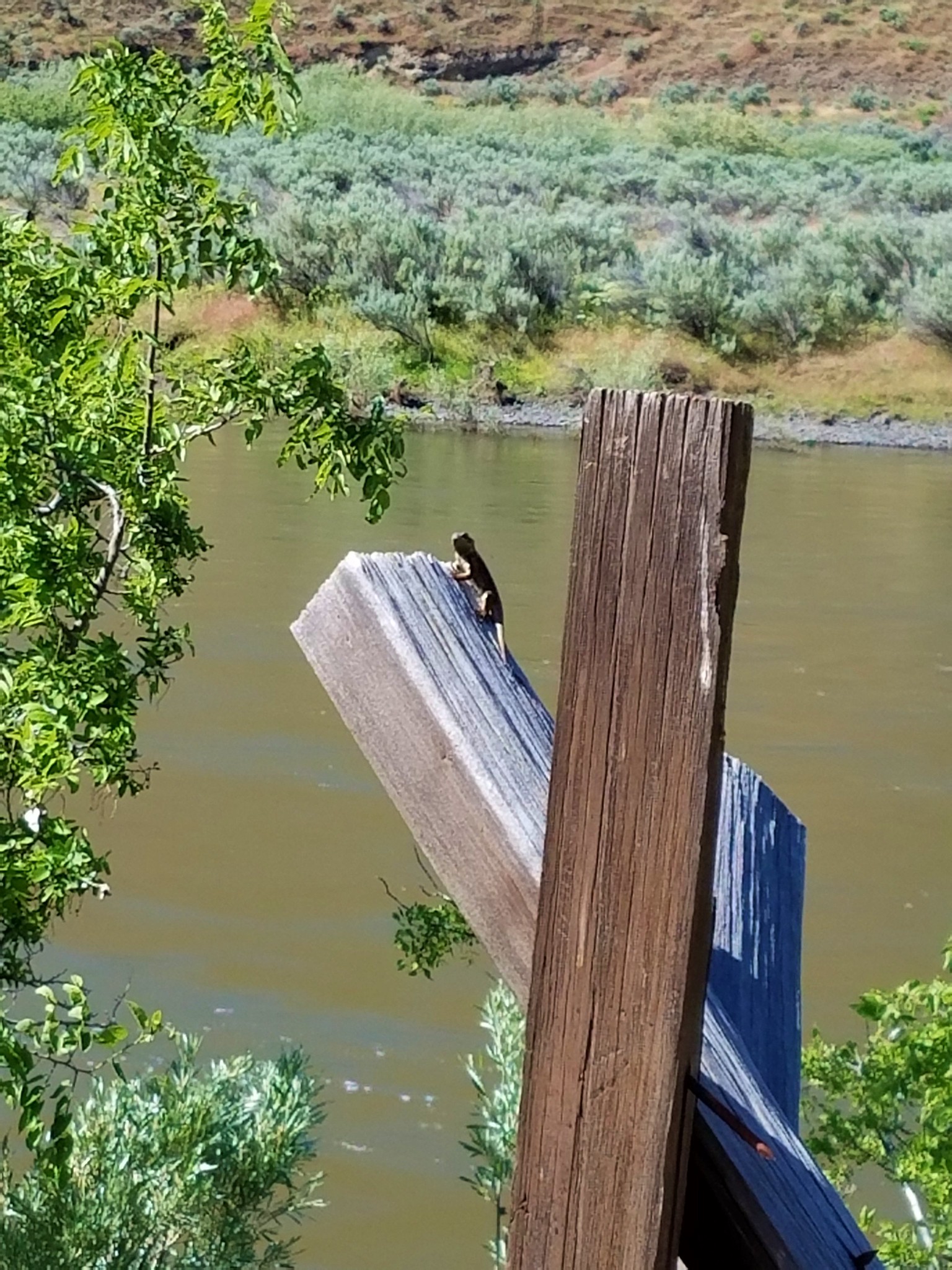
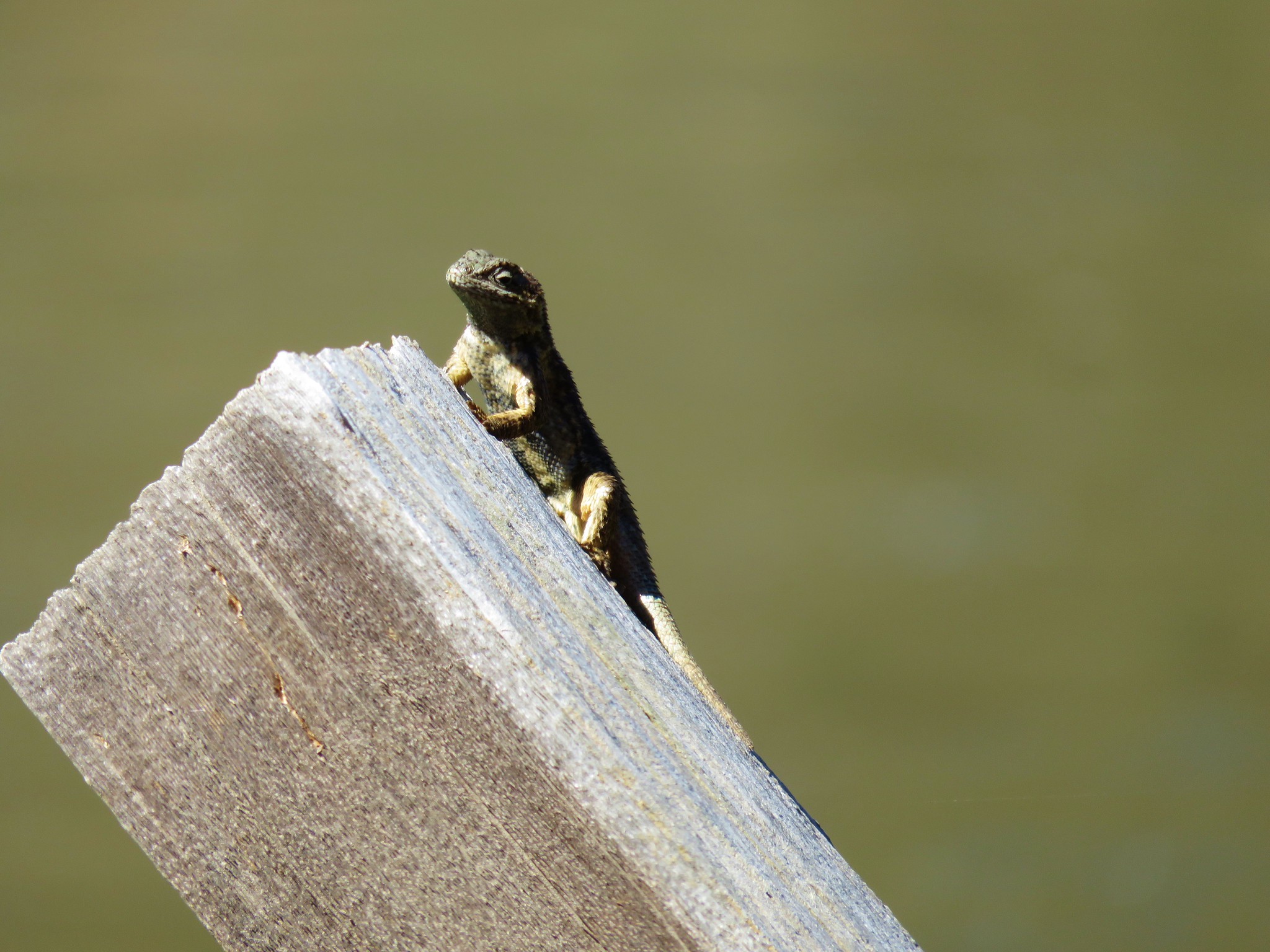
As we continued on we passed part of an old fence where we spotted an aptly named western fence lizard.
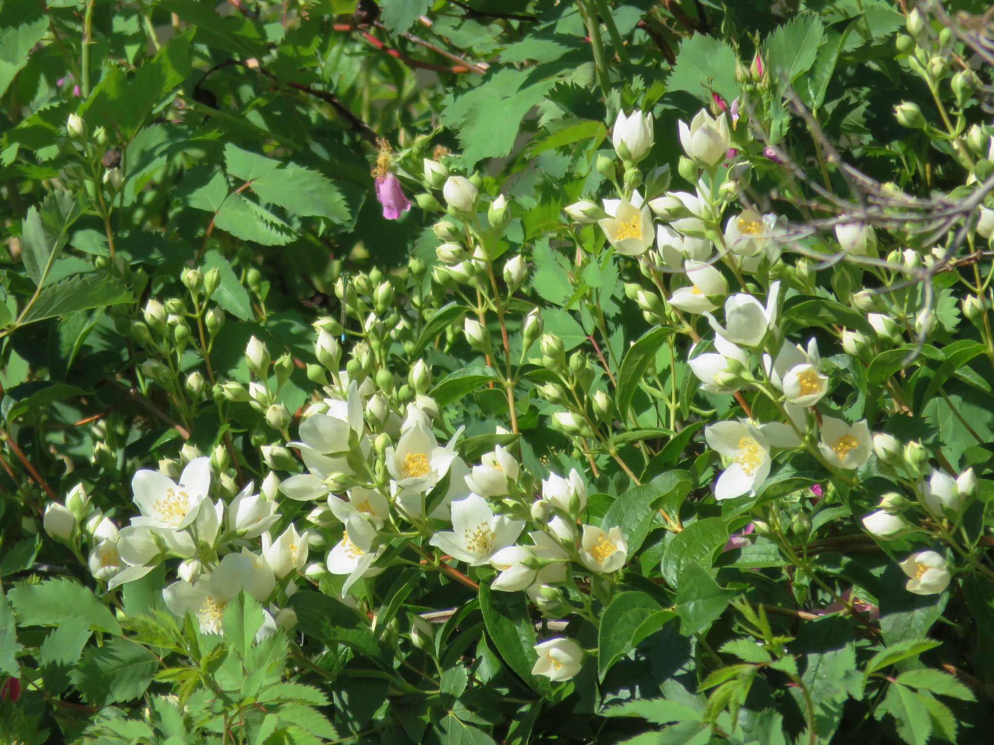
We spotted many of the same types of flowers we’d seen along the Hard Stone Trail and a few we hadn’t including some sweet smelling mock orange.

The Pinnacles Trail is named after some rock outcrops across the river near the 3 mile mark.

Beyond the Pinnacles the trail bent to the left passing through an open area full of sagebrush before rounding a rocky ridge-end.

The ridge bowed away from the trail.
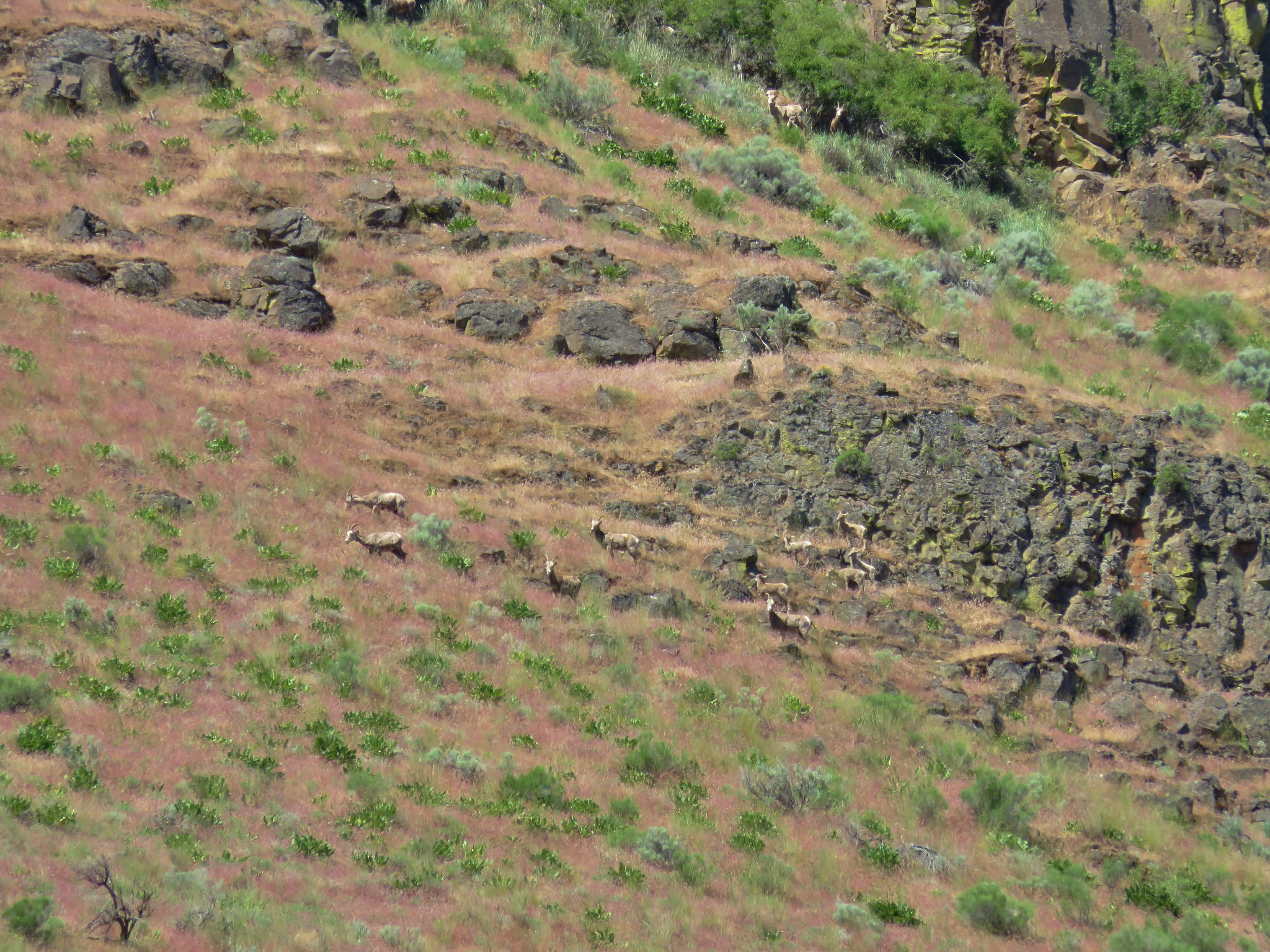
We had talked early about the possibility of spotting larger animals on the hillsides and imagined that most of them would be sticking the the brush filled gullies we had seen along the way. As we were scanning the cliffs below the ridge I spotted what might have been an animal or possibly another rock (I have a real knack for spotting rocks and tree trunks).
Making use of the camera’s 30x optical zoom allowed me to confirm that is was indeed an animal, in fact it was several animals.
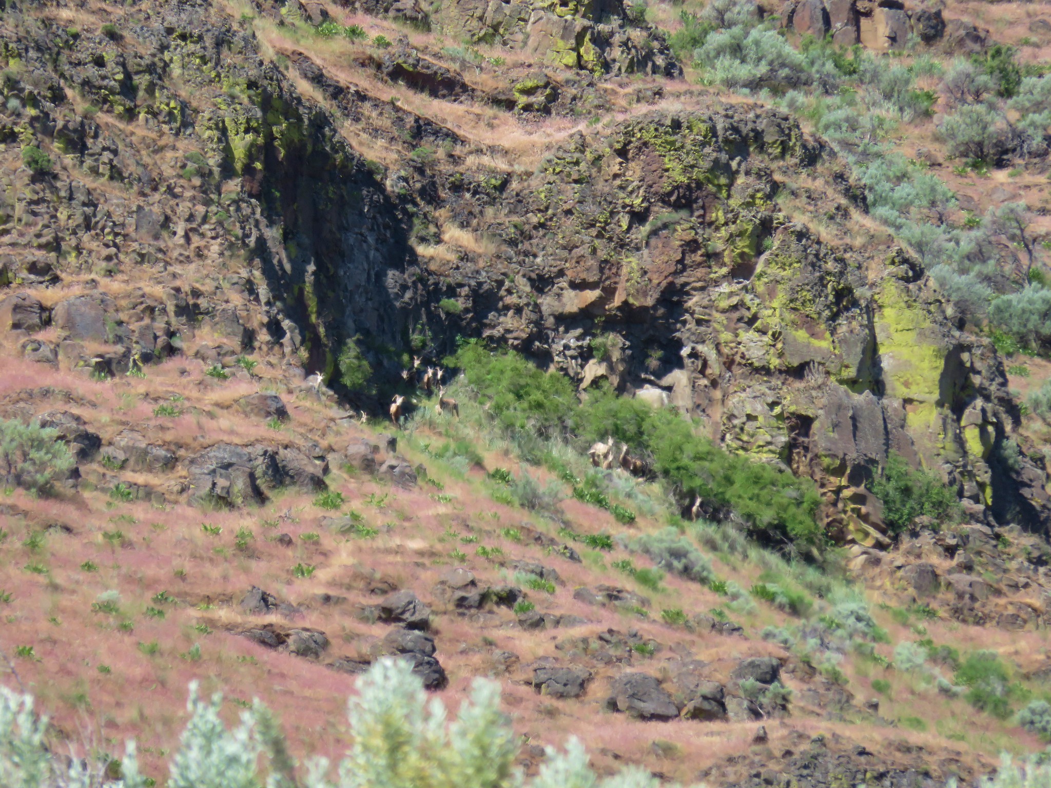
Going from the optical to the digital zoom gave us a closer look (but grainier picture) of the first big horn sheep we’d spotted on a hike.
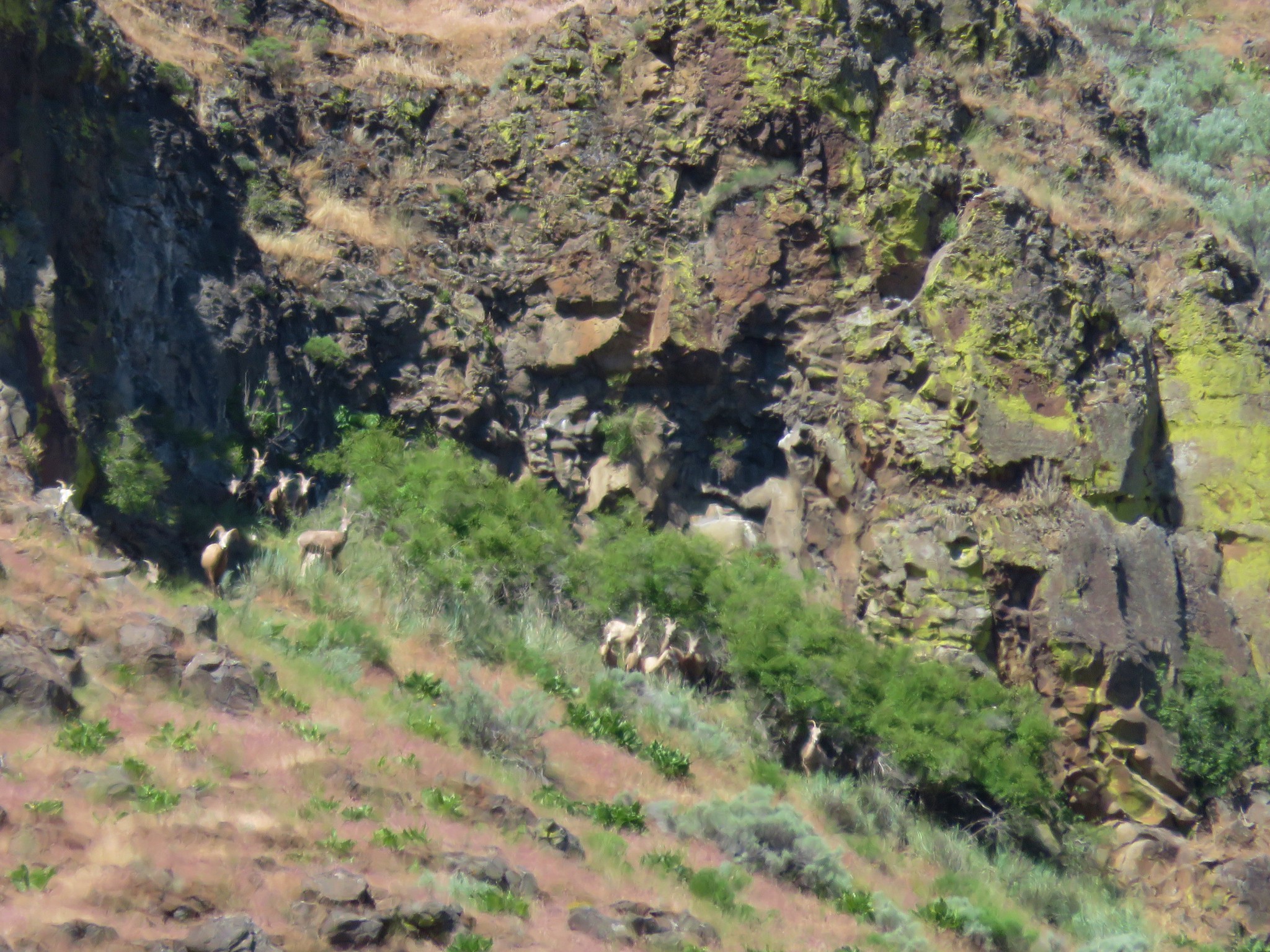
Sure enough they were hanging out in the shaded vegetation. Then we noticed a few more of the sheep passing below the first group. They seemed to be grazing on balsamroot leaves.

The official trail continued to a narrow area between the cliffs and river.
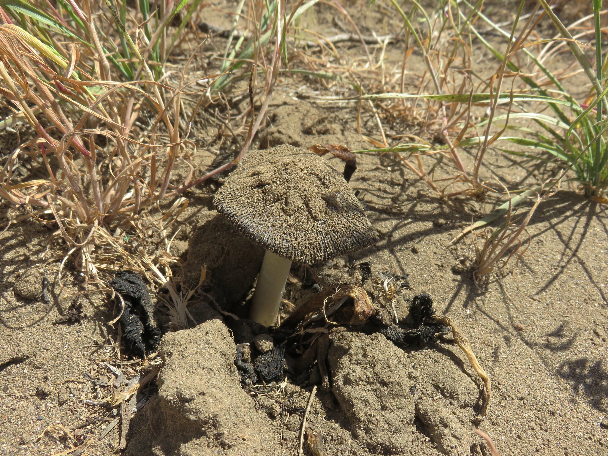
A use path continued on but we didn’t see any reason to continue. It was well into the 80’s and we’d seen plenty of great sights already. The sheep had disappeared when we passed back by where we’d seen them but Heather spotted something that was almost as surprising to see as they had been, a mushroom.
We forked onto the D & H Trail when we reached its eastern end.
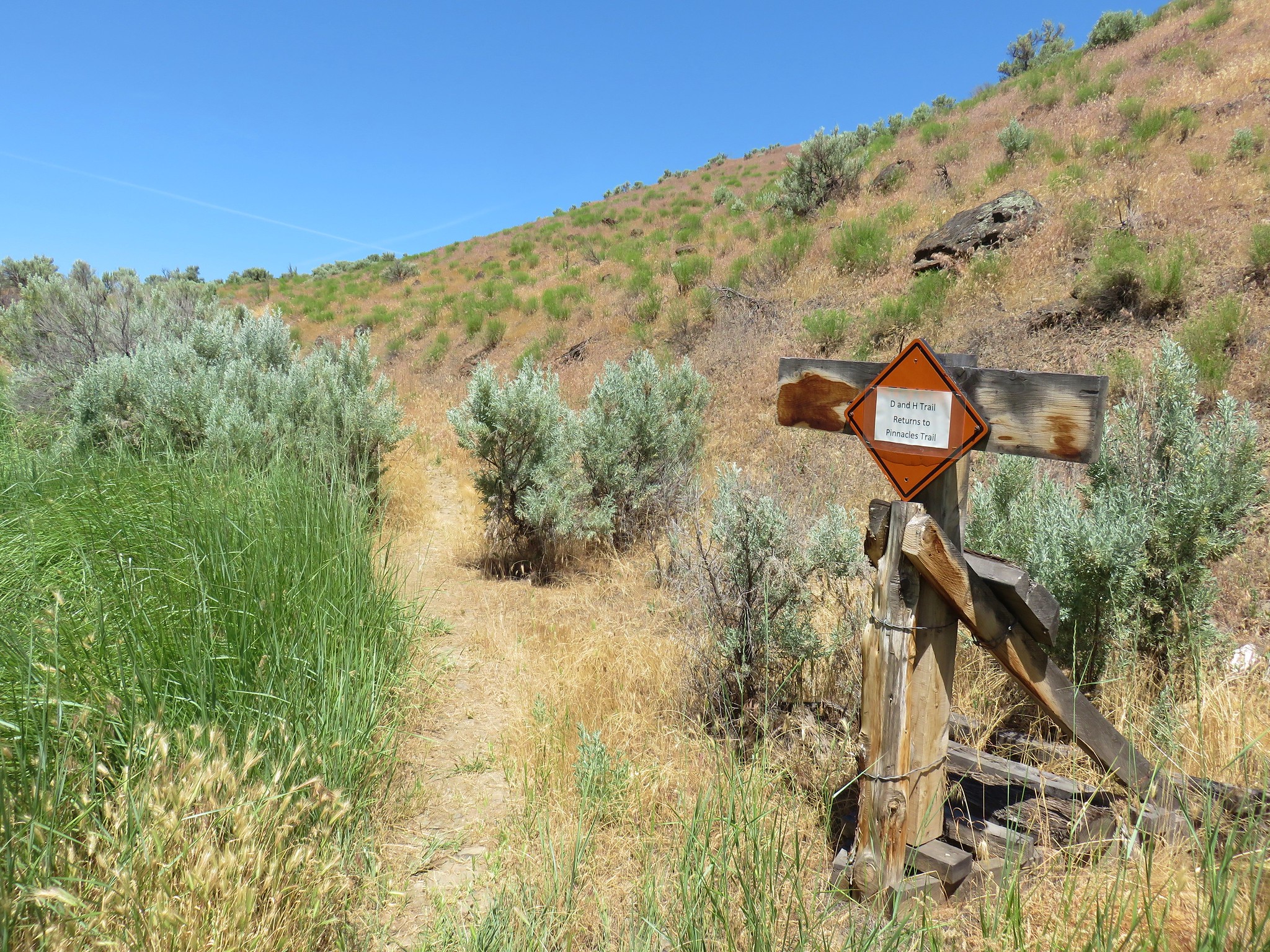
The trail led through the sagebrush just far enough uphill that we were able to avoid what had been a fairly active area for mosquitoes before dropping back down to the Pinnacles Trail by the walnut tree.
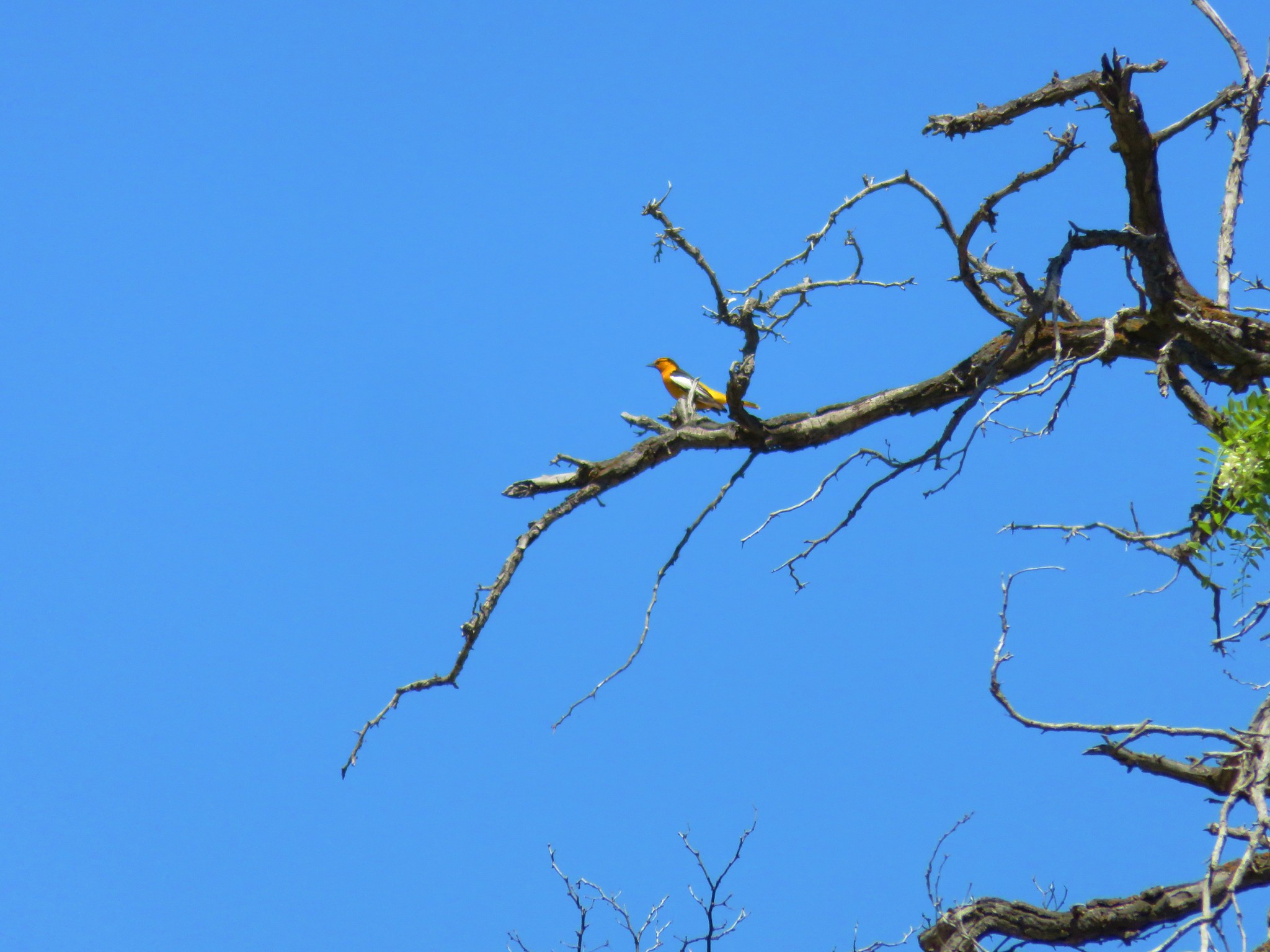
One final sighting of note was a pair of Bullock’s Orioles which we had not seen before.
The one thing we didn’t see were any snakes which Heather was more than thankful for. I on the other hand was a little disappointed. I have no desire to be close to a rattle snake but at the same time I wouldn’t mind seeing one at a nice safe distance.
It was a great hike despite the warm temperatures but they were a good reminder of why summer may not be the best time for a visit to the park. Winter can also bring strong winds and freezing temperatures, so Spring or Fall probably are the best.
Hiking isn’t the only activity the park has to offer either. Rafting, fishing, mountain bike riding, and horseback riding opportunities exist as well. Whatever your reason for visiting it’s well worth the trip. Happy Trails!
Flickr: Cottonwood Canyon

5 replies on “Cottonwood Canyon State Park”
Love the swallow pictures! We have similar shots from within the Round Barn over by French Glen. Looks like you had the place almost all to yourselves – which seems pretty amazing for a Memorial Day Weekend.
There were quite a few folks camping there, but very few on the trails.
[…] Sherman County on the west side of the John Day during our visit to Cottonwood Canyon State Park (post) and remembered that there was a trail on the other side of the river, the Lost Corral Trail, which […]
[…] was our second visit to the park having previously hiked the Hard Stone and Pinnacles Trails in 2017. The John Day River acts as the boundary between Sherman and Gilliam Counties and those trails are […]
[…] #1 Cottonwood Canyon – Hiked 5/27/2017 […]