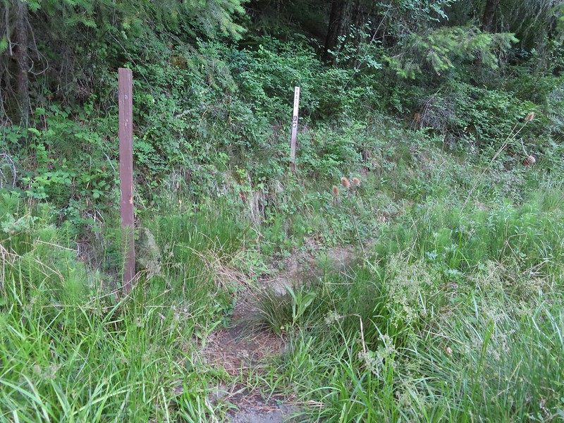
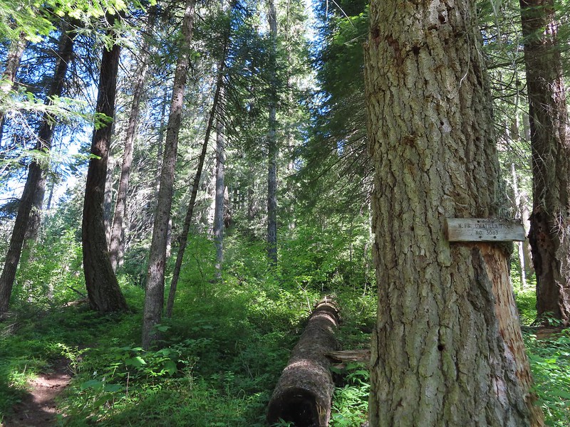
For the second hike in the North Fork Umatilla Wilderness we chose the North Fork Umatilla River Trail (Hike #40 in Sullivan’s “100 Hikes/Travel Guide Eastern Oregon” 3rd edition). We began our hike as we had the prior days for Ninemile Ridge (post) by hiking up the closed portion of Bingham Springs Road but this time after 0.3 miles we noticed a sign post for what apparently is the Lick Creek Trail which connects to the North Fork Umatilla Trail in 0.6 miles near the North Fork Umatilla Trailhead located at the Umatilla Forks Day-Use Area.
 Closed portion of Bingham Springs Road (NF 32).
 We had completely missed this trail along NF-32 the day before having been distracted by the large number of butterflies in the area.

Slugs were everywhere on this trail and became a theme for the day.

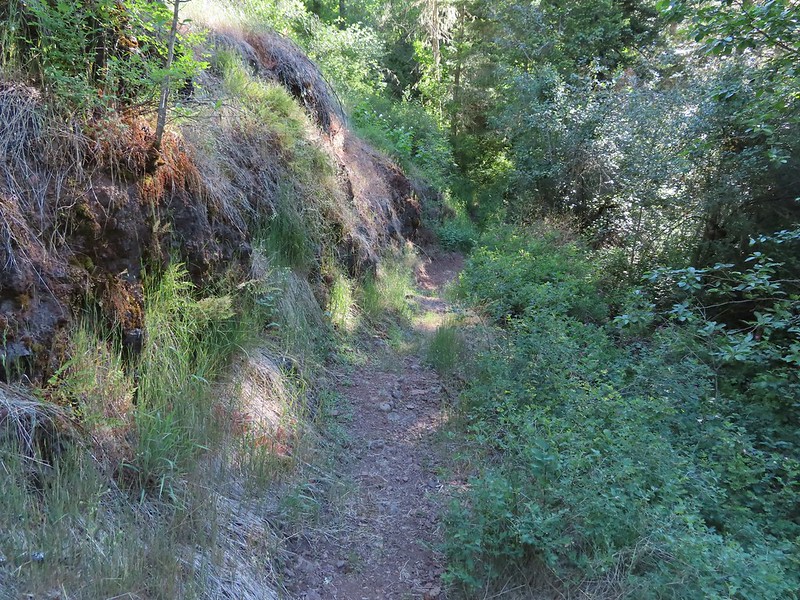
The trail climbed up from the road and traversed the hillside above the Umatilla River before dropping down to the North Fork Umatilla Trail.
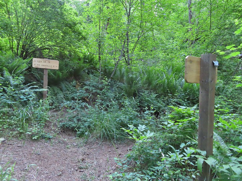 We stayed right at this junction to head down to the North Fork Umatilla Trail.

 Spreading dogbane
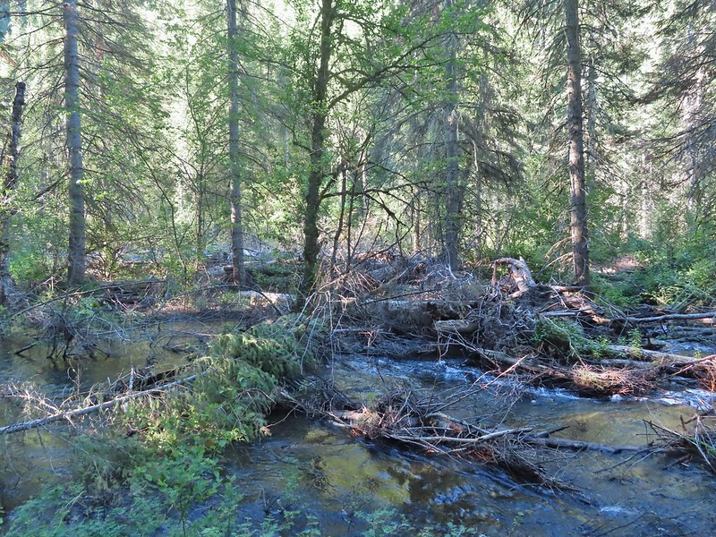
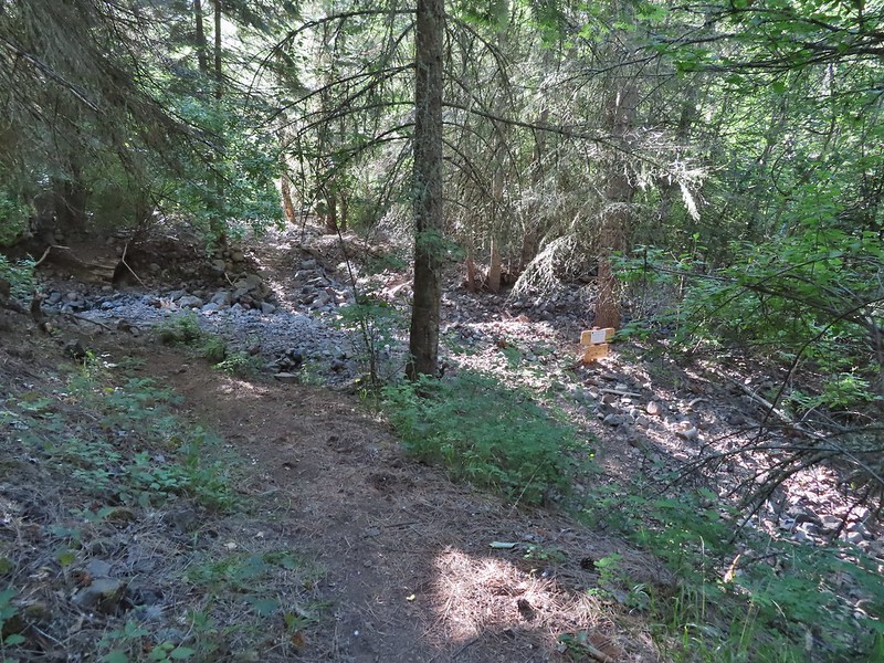 Evidence of the February 2020 flooding covering the North Fork Umatilla Trail, also there is a squirrel on the base of the tree at center.
There was a warning on the trail sign regarding the flood damage. The Forest Service website had been updated in late May to say that the trail had been maintained as far as Coyote Creek (approx 2.7 miles from the trailhead) though so we figured that we would be able to get at least that far. The Ninemile Ridge Trail had received more maintenance than the Forest Service page had said so we thought there might be a chance that more of this trail had been cleared since the last update too.
 Some signs of recent maintenance.
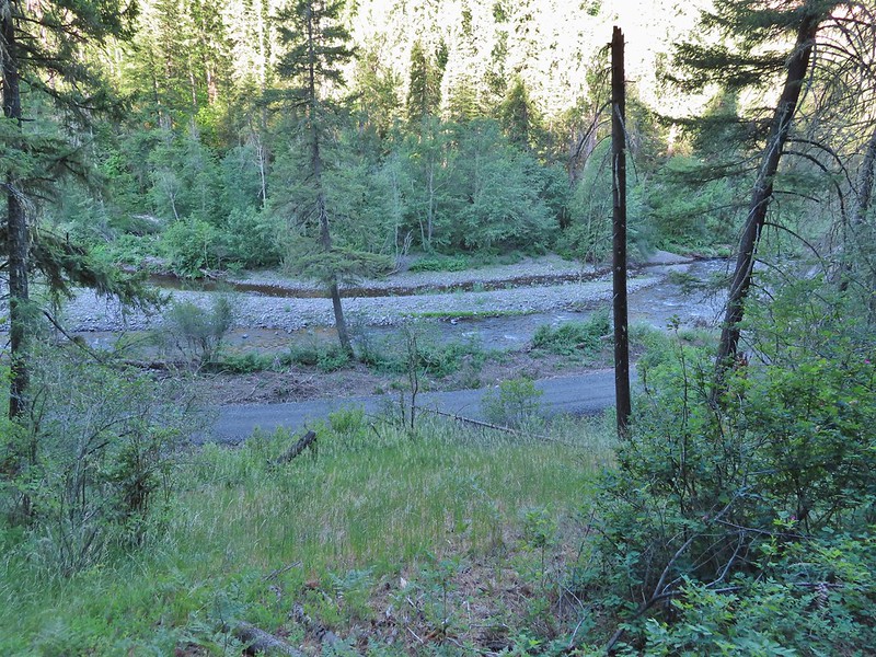
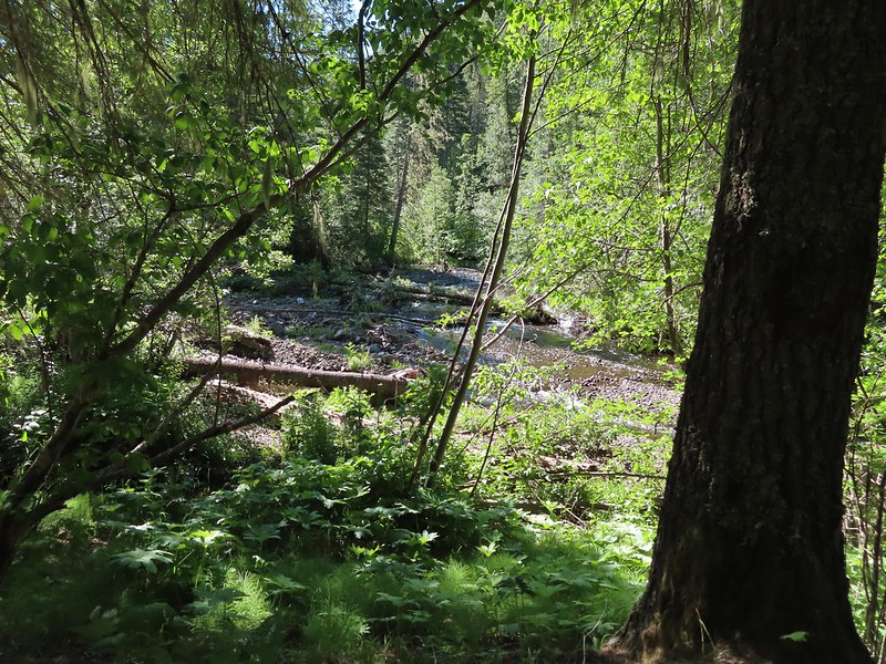
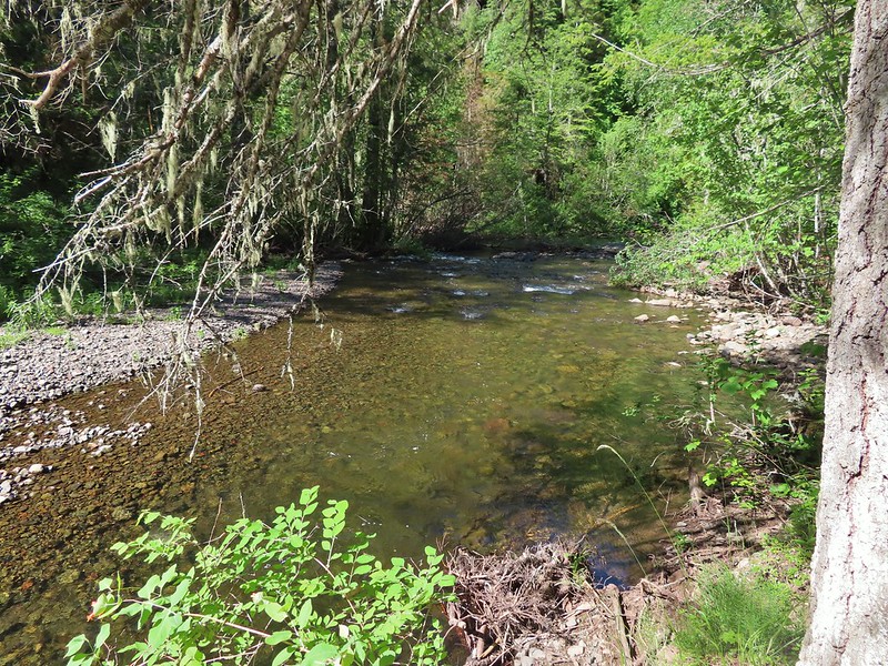
 North Fork Umatilla River
We were excited to see that there was an actual wilderness sign on this trail. We hadn’t seen one along the Ninemile Ridge Trail, just a small metal sign plate.

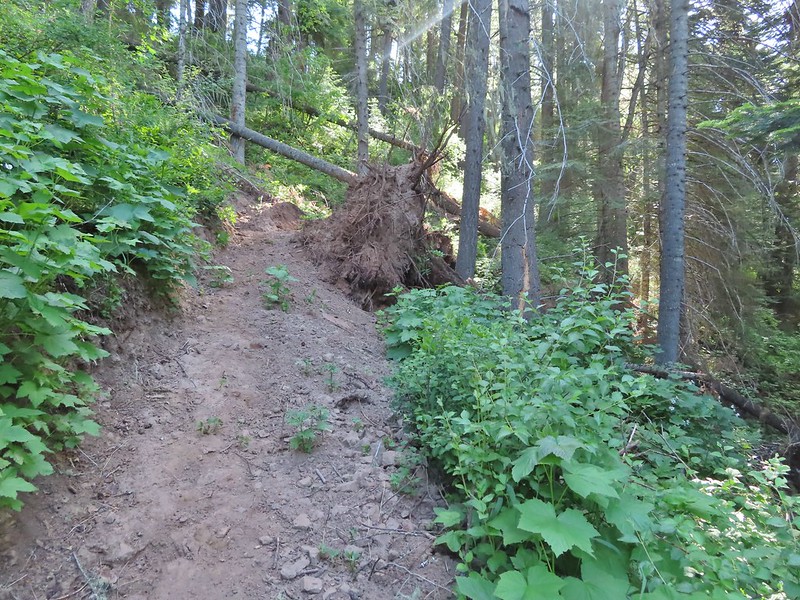
It was evident that a lot of work had been put into restoring the trail given the number of slides we crossed and cut trees we encountered.


 Debris from the flood in what appeared to be a new route for the river.
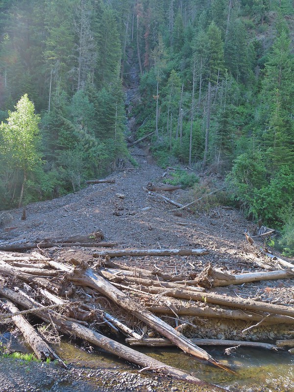 This big slide was across the river.
 Some of the trail side was also lost.
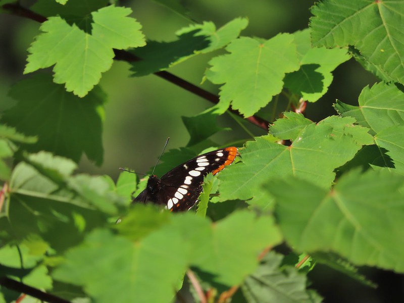 Lorquin’s admiral
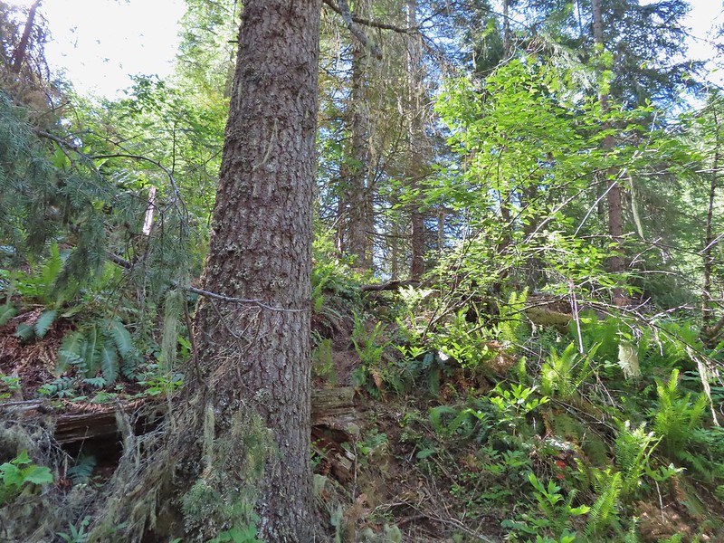
 A section of trail that survived intact.
 Looking down another small slide.
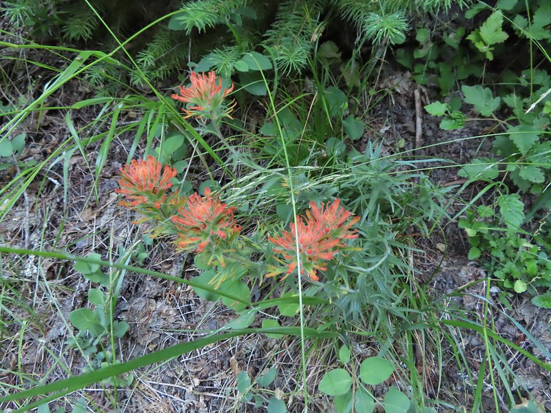 Paintbrush
 More maintenance along another washout.
 Arnica
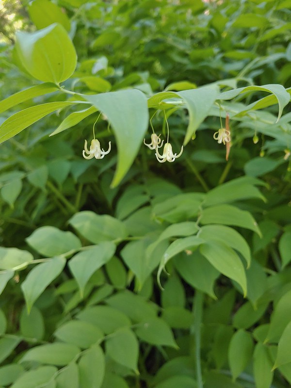
Queen’s cup
 A number of slugs on the trail, Heather counted at least two dozen in just a few feet.
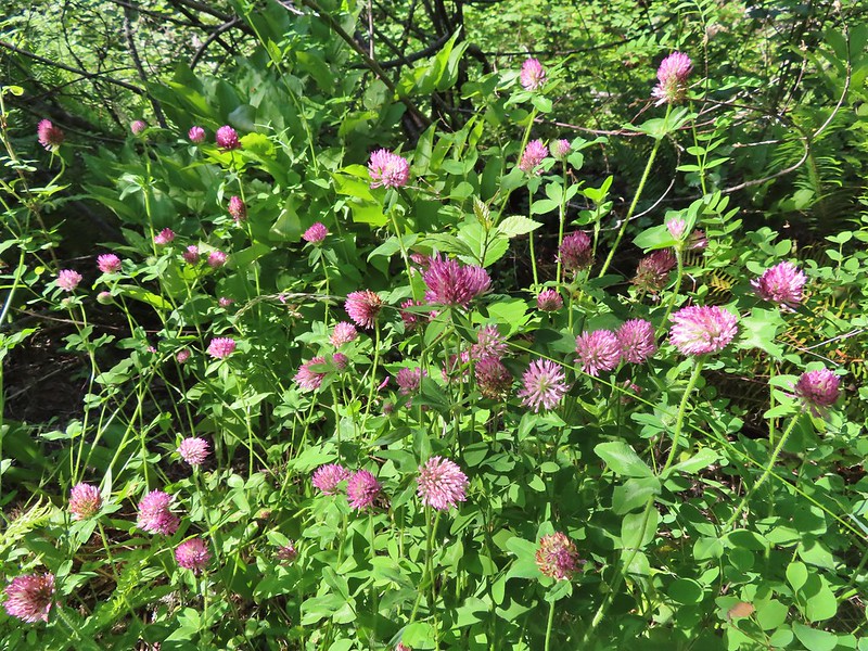 Clover
 Monkeyflower
 Alpine pennycress
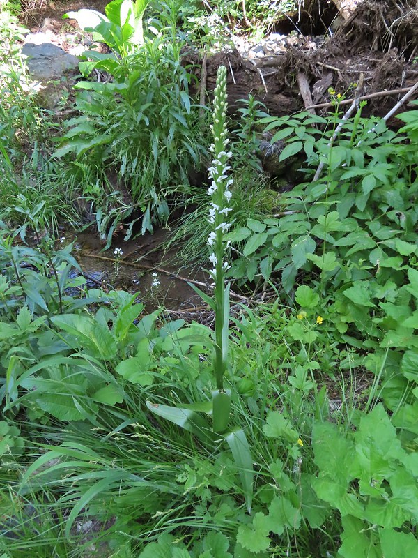 Bog orchid
 Stonecrop along an exposed section.
 Ragged robin in the exposed area.
 At one point this guy was hitching a ride on my pant leg.
 View from the trail.
 This section was a little overgrown.
 I believe this is Sabin’s lupine.
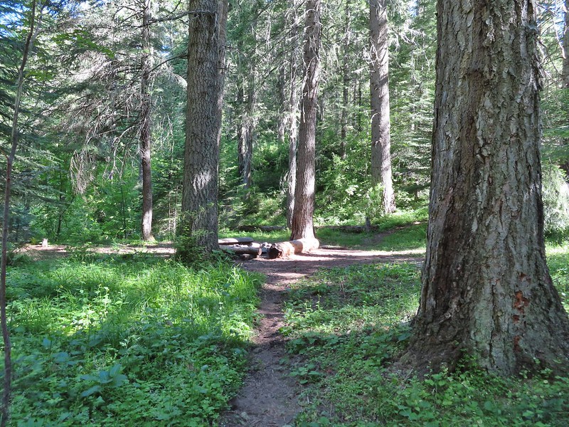
 Spur trail to a large campsite near Coyote Creek and the North Fork Umatilla River.
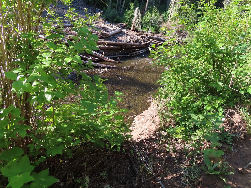
The footbridge at Coyote Creek was washed out in the flood and now lay broken on the far side of the creek. I crossed over on some nearby downed trees to scout out the trail ahead. Sullivan had shown a rough 0.9 mile scramble route leading up to the left on the far side of the creek while the North Fork Umatilla Trail continued 1.6 miles up river to more campsites before turning away and begin a climb up Coyote Ridge. In 1.2 miles the trail met the scramble route at a viewpoint then climbs another 1.6 miles to a fork at the tip of Coyote Ridge. Originally our plan had been to hike to that fork for an 11 mile out and back (from the Umatilla Forks Day-Use Area). Having to park at the gate would have made it closer to a 13 mile hike but after crossing the creek it was apparent that the Forest Service website was still up to date and the trail had only been cleared to Coyote Creek. Pink flagging marked both the scramble route and official trail but it appeared that was as far as anyone had gotten.
 Missing a footbridge.
 I crossed on that log.
 Found the footbridge.
 Flagging for the scramble route.
 Flagging for the North Fork Umatilla Trail
We took a short break at Coyote Creek then explored the nearby campsites before heading back.
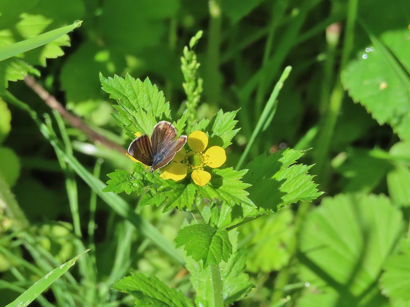 Butterfly on a cinquefoil?
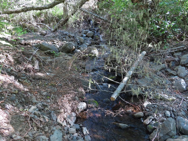
 Confluence of Coyote Creek and the North Fork Umatilla River.
 Deep hole below the campsites along the North Fork Umatilla
River.
 Campsite near Coyote Creek.
 Heading back on the trail.
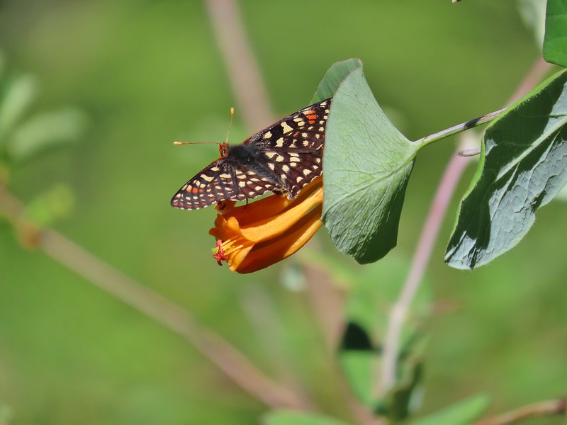 Checkerspot on honeysuckle

 Twisted stalk
 Spotted coralroot
 Phantom orchid
 Houndstongue

As we neared the junction with the tie trail to the Lick Creek Trail we met a three person trail crew heading for Coyote Creek. They were going to be working on the trail beyond and added that a larger crew was coming in to camp at Coyote Creek and continue restoring the trail. We thanked them for their efforts and briefly discussed the Ninemile Ridge Trail which they were happy to hear was passable to the cairn at the high point. Instead of taking the tie trail back we hiked out via the day-use area and followed NF-32 back to the car.
 Signboard at the trailhead.
 Sign for the Blues Crew at the trailhead. These volunteer organizations are so vital to keeping the trails open.
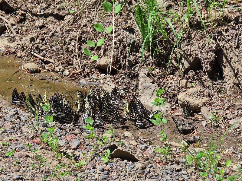
We were delayed twice along the way by swarms of swallowtail butterflies.
 Not swallowtails but these lorquin’s admirals sure liked this scat.
 The first mass of swallowtails was on the far side of the river along this stretch.

 The second and larger group was at this wet spot along the road.

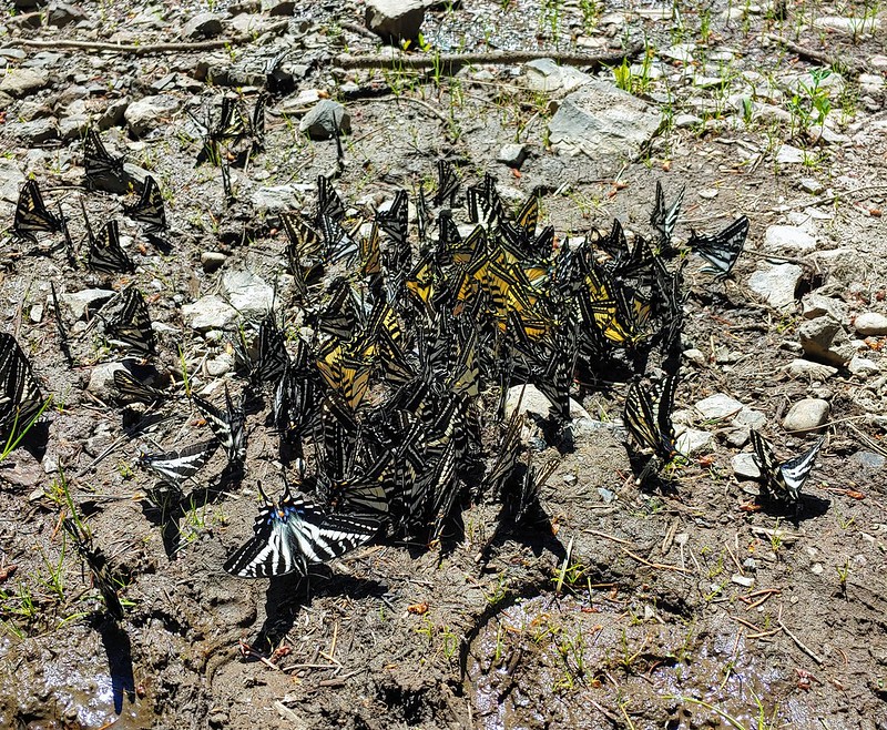

In addition to all of them on the ground dozens more were swirling around our heads. It was one of those moments on the trail (even if it was a road) that we wont forget.
Our hike came in at a reasonable 8.5 miles round trip with a little under 500′ of elevation gain. A much more manageable day than the one before. While it was a bit disappointing not to reach Coyote Ridge it was probably for the best for our bodies in the long run. It helped that we had gotten plenty of views of the area on Ninemile Ridge too so we didn’t feel like we missed out much there.

We drove back to Pendleton and after cleaning up had dinner at Moe Pho before turning in for the night. Happy Trails!
Flickr: North Fork Umatilla Trail

One reply on “North Fork Umatilla Trail – 06/14/2021”
[…] #43 North Fork Umatilla River – Hiked 6/14/2021 […]