Back in 2016 we set a goal for ourselves to hike all 500 featured hikes in William L. Sullivan’s “100 Hikes…” series of guidebooks post. In 2020 we completed the first of these books covering the Central Oregon Cascades (post). We followed that up by completing a pair of books in 2021 starting with Sullivan’s “100 Hikes/Travel Guide Oregon Coast and Coast Range” 3rd edition (post) followed up by “100 HIkes/Travel Guide Northwest Oregon & Southwest Washington” 4th edition (post). Southern Oregon & Northern California was completed in 2023 leaving us with Eastern Oregon.
In 2023 we pivoted from the 3rd edition of Sullivan’s “100 Hikes/Travel Guide Eastern Oregon” to his renamed 2022 1st edition “100 Hikes Eastern Oregon” book. This was to avoid needing to make the tedious drive on horrible roads to Dug Bar in Hells Canyon which had been replaced as a featured hike in the newer edition.
The criteria for checking a hike off our list is to hike a portion of Sullivan’s described hike or, at least visit the main attraction(s) he identifies for the hike. For 67 of the hikes we completed the books described route. For the other 33 hikes various factors contributed to us not completing every option of each featured hike. For some we started at a different trailhead, others had portions of trail(s) closed when we visited, and several had additional options that we did not do.
Of the five regions Sullivan breaks his guidebooks into, the Eastern Oregon region is the largest and most diverse. The area covered in this book includes hikes in Oregon east of the Deschutes River in Central Oregon and from Klamath Falls (western most hike) east to the Idaho border. There is however one hike in Washington west of the Deschutes across the Columbia River from The Dalles, OR. It also includes one short option in Idaho (eastern most), one featured hike in California (southern most) making it his only book with hikes in more than two different States. The northern most hike is not the one in Washington. That honor belongs to the Wenaha River near Troy in NE Oregon.

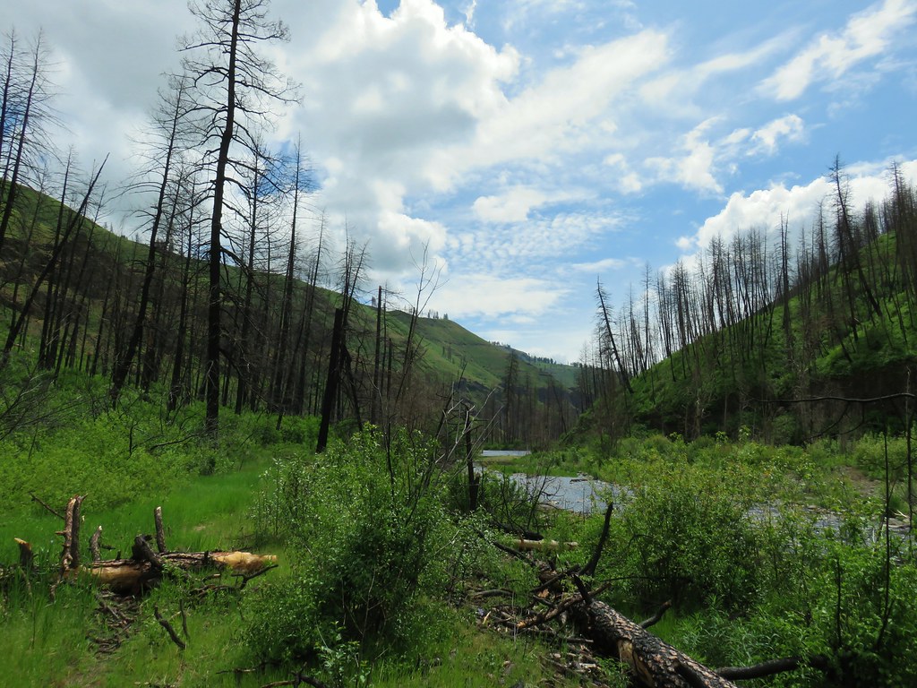
The hikes involved several wilderness areas: Oregon Badlands, Mill Creek, Spring Basin, Strawberry Mountain, North Fork John Day, North Fork Umatilla, Wenaha-Tucannon, Eagle Cap, Hells Canyon, Monument Rock, and Steens Mountain. Missing from this list are the Black Canyon (post) and Gearhart Mountain (post) wilderness areas which had featured hikes in earlier versions of Sullivan’s book that we’d completed, but were removed in the 2022 edition due to wildfire damage.
In addition to the 11 designated wilderness areas there were hikes in two National Monuments, the John Day Fossil Beds National Monument in Oregon and the Lava Beds National Monument in California, and one National Volcanic Monument, the Newberry National Volcanic Monument.
Following is a list of the 100 featured hikes and the dates we visited.
#1 Cottonwood Canyon – Hiked 5/27/2017

#2 Columbia Hills – Hiked 4/4/2015 & 4/17/2021

#3 Lower Deschutes River – Hiked 6/9/2018

#4 Macks Canyon – Hiked 5/26/2018

#5 Criterion Tract – Hiked 05/28/2023

#6 Trout Creek – Hiked 10/12/2013

#7 Willow Creek at Madras – Hiked 5/27/2024

#8 Cove Palisades – Hiked 6/16/2018

#9 Gray Butte – Hiked 6/13/2015

#10 Oregon Badlands – Hiked 5/15/2016 & 12/24/2016

#11 Pine Mountain – Hiked 7/30/2012

#12 Paulina Falls – Hiked 8/9/2011 & 9/16/2017

#13 Paulina Lake – Hiked 8/9/2011 & 9/16/2017

#14 Obsidian Flow – Hiked 8/9/2011

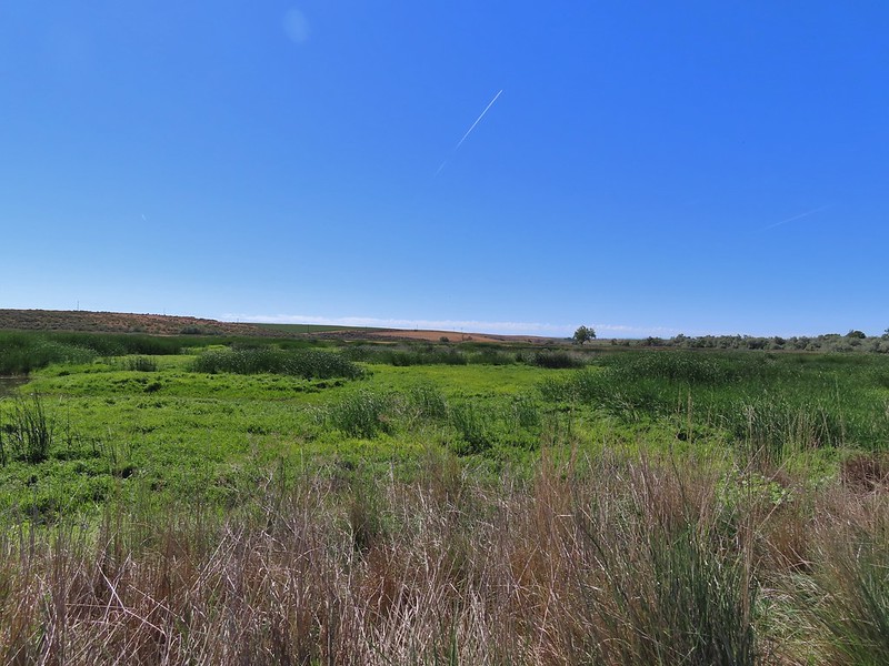
#15 Crooked River Wetlands – Hiked 5/29/2024

#16 Chimney Rock – Hiked 9/22/2017

#17 Steins Pillar – Hiked 5/8/2013

#18 Juniper Hill – Visited* 5/27/2024

#19 Mill Creek – Hiked 7/31/2012

#20 Lookout Mountain – Hiked 6/12/2014

#21 Walton Lake – Hiked 6/17/2017 & 6/18/2021

#22 Spring Basin – Hiked 4/22/2017

#23 John Day Fossil Beds – Hiked 4/30/2016, 4/22/2017 & 9/17/2017
 Painted Hills Unit
 Clarno Unit
 Blue Basin Unit
#24 Sutton Mountain – Hiked 4/30/2016

#25 Spanish Peak – Hiked 7/19/2021 & 7/20/2021

#26 Madison Butte – Hiked 5/28/2024

#27 Wildcat Basin – Hiked 7/24/2018

#28 High Lake – Hiked 7/26/2018

#29 Strawberry Lake – Hiked 7/25/2018

#30 Malheur River – Hiked 6/17/2021

#31 Canyon Mountain – Hiked 7/22/2021

#32 Monument Rock – Hiked 7/21/2021

#33 Bates and Sumpter – Hiked 9/17/2017

#34 Olive Lake – Hiked 9/18/2017

#35 Granite Creek – Hiked 9/21/2017

#36 North Fork John Day River – Hiked 9/19/2017

#37 Mount Ireland – Hiked 7/9/2022

#38 Baldy Lake – Hiked 9/20/2017

#39 Crawfish Lake – Hiked 8/16/2018

#40 Anothony Lake – Hiked 8/16/2018

#41 Elkhorn Crest – Hiked 8/12/2018, 8/13/2018, 8/14/2018, 8/15/2018 & 08/16/2018

#42 Twin Lakes – Hiked 8/13/2018

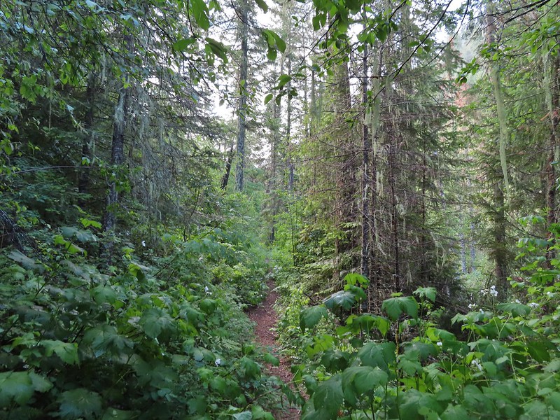
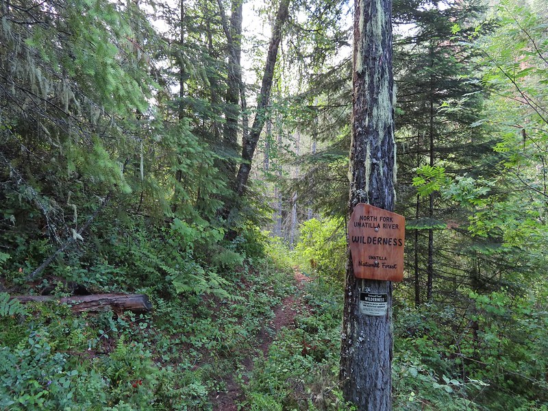
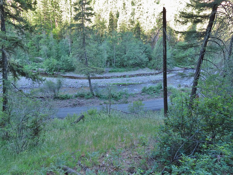
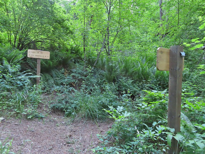
#43 North Fork Umatilla River – Hiked 6/14/2021

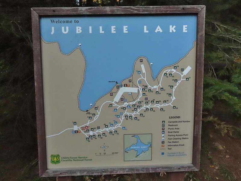
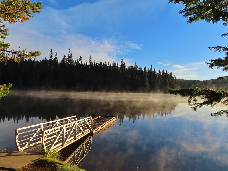
#44 Jubilee Lake – Hiked 9/12/2021

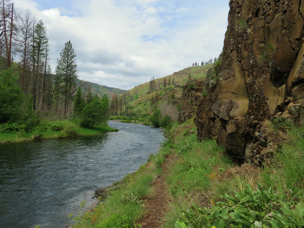
#45 Wenaha River – Hiked 5/25/2019

#46 Zumwalt Prairie – Hiked 5/26/2019

#47 Buckhorn Lookout – Hiked 6/15/2023

#48 Eureka Bar – Hiked 6/14/2023

#49 Hat Point – Hiked 7/21/2024

#50 Freezeout Saddle – Hiked 5/24/2019

#51 Hells Canyon Dam – Hiked 6/16/2023

#52 Hells Canyon Reservoir – Hiked 6/16/2023

#53 Imnaha Falls – Hiked 6/12/2023

#54 Bonny Lakes – Hiked 7/24/2024

#55 McCully Basin – Hiked 7/23/2024

#56 Mount Howard – Hiked 7/26/2024

#57 Aneroid Lake – Hiked 8/22/2024

#58 Wallowa Lake – Hiked 5/23/2019
 B.C. Falls
#59 Ice Lake – Hiked 7/31/2016

#60 Horseshoe Lake – Hiked 8/3/2016 & 8/04/2016

#61 Hurricane Creek – Hiked 7/22/2024

#62 Eagle Cap – Hiked 8/3/2016

#63 Minam Lake – Hiked 7/25/2024

#64 Maxwell Lake – Hiked 8/21/2024

#65 Chimney Lake – Hiked 8/20/2024

#66 Wallowa Homeland – Hiked 7/14/2022

#67 Bear Creek – Hiked 7/14/2022

#68 Rock Springs – Hiked 7/11/2022

#69 Moss Springs – Hiked 7/13/2022

#70 Catherine Creek Meadows – Hiked 7/10/2022

#71 Burger Pass – Hiked 7/12/2022

#72 Tombstone Lake – Hiked 8/16/2023 & 8/17/2023

#73 Eagle Lake – Hiked 8/13/2023

#74 Bear Lake – Hiked 8/14/2023

#75 Hidden Lake – Hiked 9/9/2024

#76 Summit Point Lookout – Hiked 8/18/2024

#77 Pine Lakes – Hiked 8/19/2024

#78 Fort Rock – Hiked 6/14/2014 & 5/28/2017

#79 Fort Rock Valley – Hiked 5/28/2017

#80 Hager Mountain – Hiked 7/30/2013 & 6/14/2014

#81 Summer Lake – Hiked 7/24/2020

#82 Winter Ridge – Hiked 7/19/2020

#83 OC&E Railroad – Hiked 10/5/2018

#84 Klamath Falls – Hiked 10/20/2018

#85 Modoc Lava Beds – Hiked 10/6/2018

#86 DeGarmo Canyon – Hiked 7/22/2020

#87 Hart Mountain Hot Springs – Hiked 7/21/2020

#88 Petroglyph Lake – Hiked 7/22/2020

#89 Steens Summit – Hiked 8/18/2021

#90 Little Blitzen River – Hiked 8/19/2021

#91 Big Indian Gorge – Hiked 8/17/2021

#92 Threemile Canyon – Hiked 9/3/2023

#93 Pike Creek – Hiked 6/14/2018

#94 Big Sand Gap – Hiked 6/14/2018

#95 Borax Hot Springs – Hiked 6/14/2018

#96 Pueblo Mountains – Hiked 8/20/2021

#97 Leslie Gulch – Hiked 6/11/2018

#98 Coffeepot Crater – Hiked 6/11/2018

#99 Chalk Basin – Hiked 6/13/2018

#100 Three Forks – Hiked 6/12/2018

*The Juniper Hills Preserve is owned by the Nature Conservancy and had been closed to public entry in 2023, so we were unable to hike the trails. We parked and walked to the gates to take photos. If they ever reopen it to the public we will go back.
Completing our featured hike goals provided a sense of relief. While we thoroughly enjoyed all of the hikes, and the Wallowa Mountains became our favorite destination in Oregon, we had begun to put pressure on ourselves to finish. That pressure had begun following the September 2020 wildfires that ravaged parts of the Central Cascades and left many trails closed for years. We had just finished the featured hikes in that area earlier that year and realized how close we’d come to having to put our goal on hold. In the grand scheme of things reaching 500 featured hikes is irrelevant but having worked on it for several years it was something we didn’t want to abandon. We will gig deeper into that in a later post covering finishing the 500, but it’s nice to have the urgency to get to specific places removed.
Setting the goal did provide us with an excuse to visit parts of Oregon that we’d never seen before. While we were checking off the 100 featured hikes we stopped at over three dozen additional spots including eight previously featured hikes. There are still numerous trails left for us to explore so we will almost certainly be heading back to Eastern Oregon from time to time to see new sights and possibly revisit some familiar ones. Happy Trails!


 Memorial to pioneers dedicated by President Harding in 1923.


 The Cabin Loop sign pointed up this hill.
 Thistle
 Foam flower
 Coneflower
 There were virtually no signs to indicate what any of the trails were or where they led.
 We had to duck under this tree.
 Mountain lady slippers that had bloomed many weeks ago.
 Pearly everlasting
 Paintbrush
 Thimbleberries
 Aster
Aster It was hot (pushing 90 Fahrenheit) which made the climbing less enjoyable.
 This was most likely the Nature Trail rejoining from the left.
 Not sure if this is native or invasive.
 Wedding set up behind the Community Building.
 Bee on fireweed.
 Horse Camp


 Sign for the trailhead along FS21.
 This mud and torn up area was why we chose the shoulder instead.
 Arnica near the trailhead.

 Broomrape
 Larkspur
 Death camas
 Lomatium and few-flowered pea-vine
 Lupine
 Woodland star
 Oregon sunshine
 Violet
 McClellan Mountain, Moon Mountain and Fields Peak (
 Balsamroot
 The clearer track to the left leads to Tupper Butte in approximately 0.3-miles. We continued straight on the Madison Butte Trail.
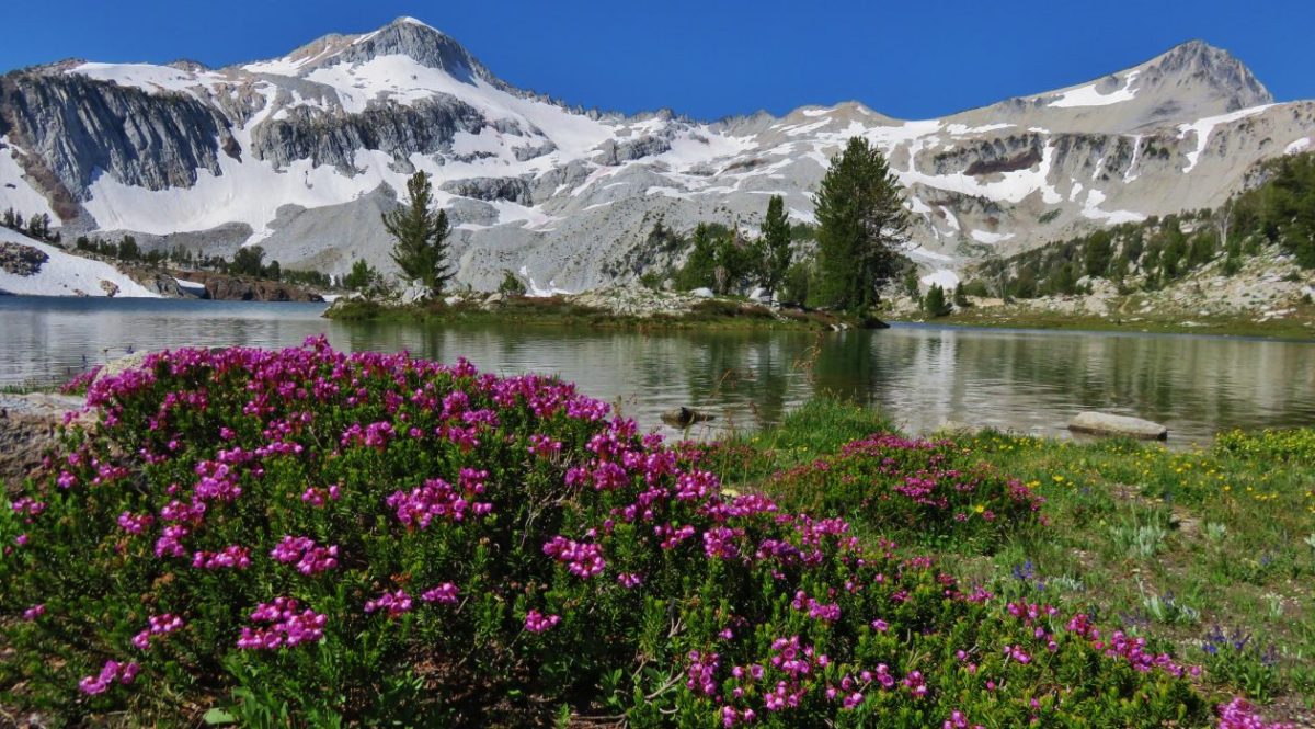
 The Strawberry Mountains with Strawberry Mountain (
 Glacier lily
 The fence in the distance.
 Huckleberry
 Mt. Hood
 Old man’s whiskers
 Ball-head waterleaf
 Small bluebells
 Paintbrush
 Trail marker on the tree.
 One of two fresh piles of scat along the trail.
 The markers were helpful because the trail was quite faint at times.
 Slender phlox
 Shooting stars
 Rock outcrop along the trail at the 2.1-mile mark.
 View from the rock outcrop.
 Larches

 Chocolate lily
 Lance-leaf spring beauty
 Violets
 Madison Butte from the trail.
 Bottle Spring
 Pond below the spring.
 Glacier lilies
 Trail sign at Madison Butte Road.
 Blue-eyed Mary
 The
The  Mt. Jefferson poking up in the distance.

 Wild onions


 The Strawberry and Aldrich Mountains to the south.
 The Elkhorns (
 The Elkhorns with Mt. Ireland (
 Looking SW we could see Mt. Jefferson and also make out the Three Sisters further to the south. Mt. Hood and Mt. Adams were also visible although partially obscured by clouds.
 A rockcress
 Swallowtail
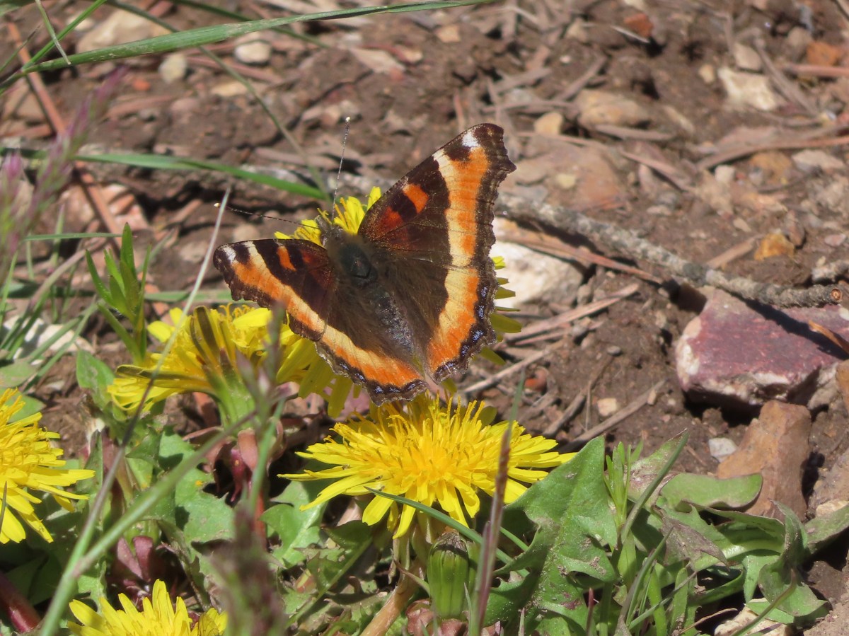
 Milbert’s tortoiseshell
 Skipper
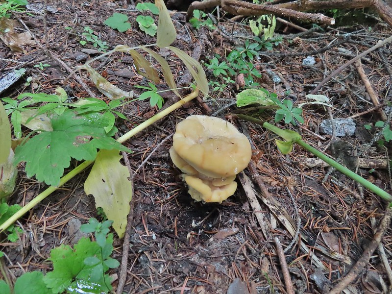
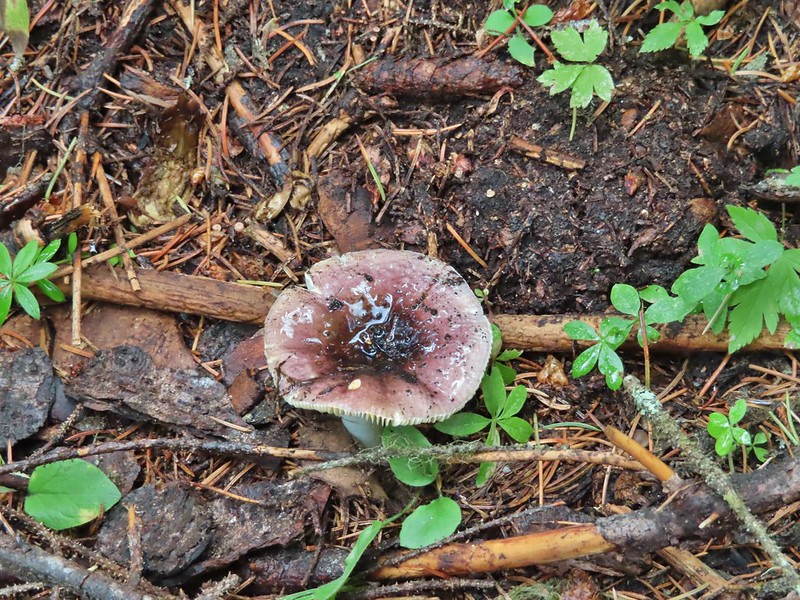
 Mushroom
 Fairy slipper
 A particularly large paintbrush.
 Orange tip
 Larkspur


 Violets
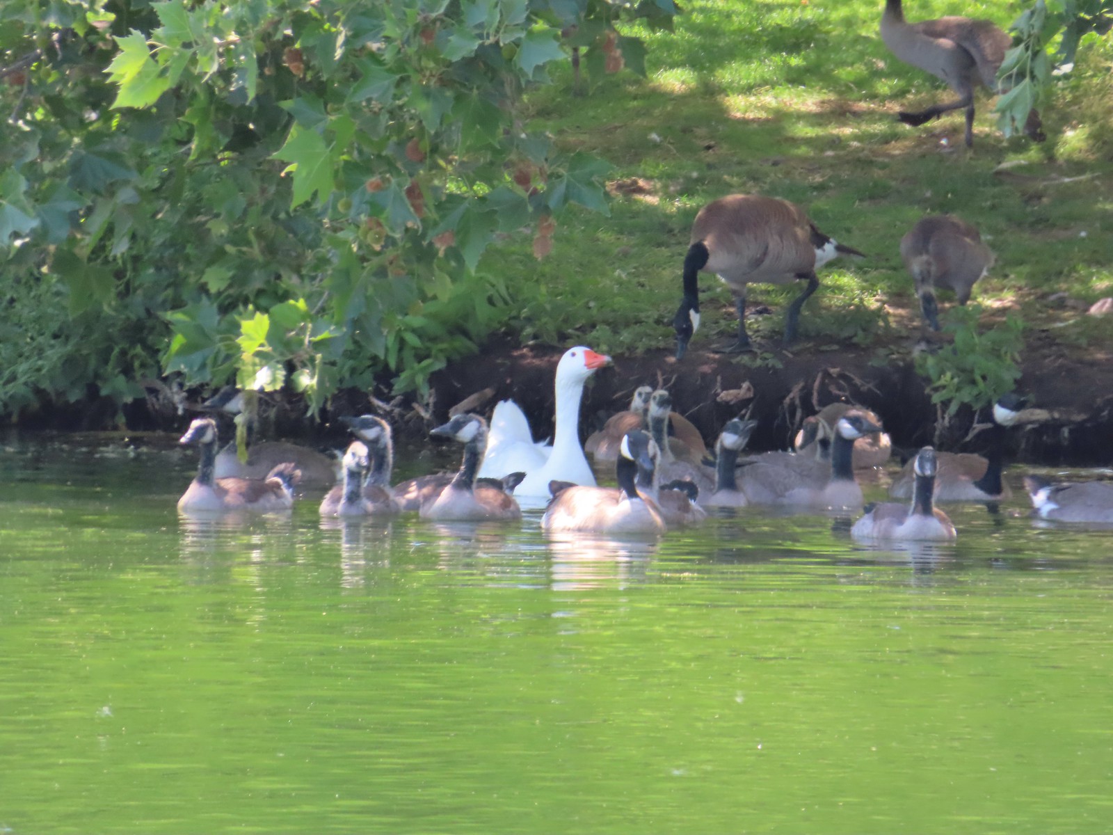
 Ring-necked ducks and an American coot
 Arnica
 Ducklings
 Ring-necked duck
 Fleabane?
 Camas
Camas A coot and a sandpiper
 Red-winged blackbird
 Our first eared grebe.


 The parking area at the trailhead.
 Signboards at the trailhead.
 Trail map.


 Lake Wallula from the footbridge.
 Eastern kingbird near the boat ramp.
 Post ahead marking the junction with the Lewis and Clark Trail. There is also a deer below the cliffs ahead.
 Zooming in on the doe.
 Lake Wallula
 Raven with an egg it had snatched from some other bird.
 Broad-leaved pepperweed (invasive)
 Initially there were some houses on the left, but they gave way to the Wanaket Wildlife Area.
 Most of the balsamroot was long past done but a few late blooms remained.
 Dove
Dove A fleabane
 Swallow
 Patterns on Lake Wallula
 Western meadowlark signing from atop the cliffs.
 Sign for the Wanaket Wildlife Area
 Lark sparrow
 Box Canyon
 There were a couple of small hills but over all very little elevation gain.
 Another western meadowlark.
 Cormorant
 Mallard
 Showy milkweed and a bunch of bees.
 Trail sign near McNary Beach
 Our rest stop.
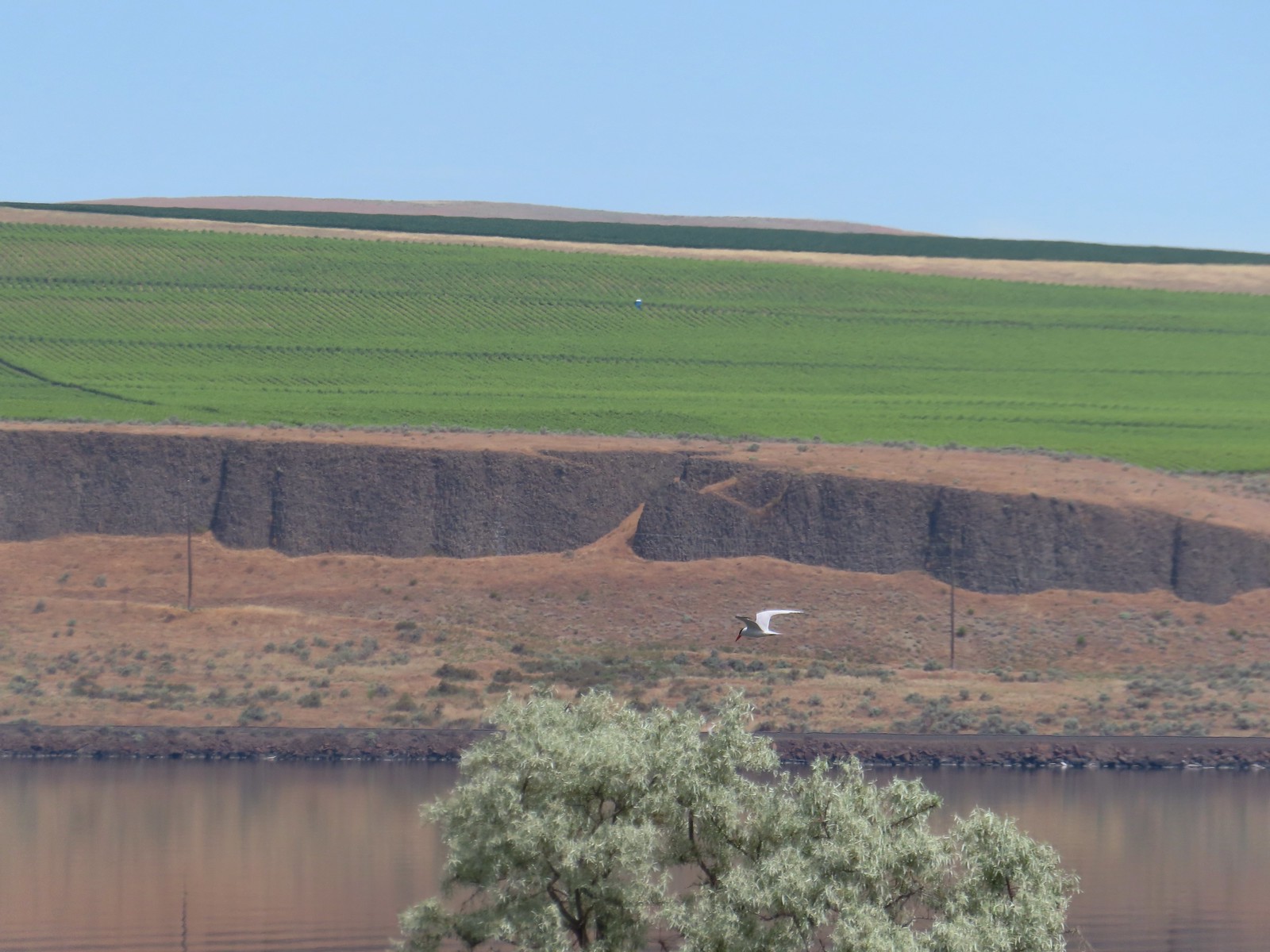 Caspian tern
 Hawk
Hawk Gray hairstreak on tall tumblemustard
 Becker’s white also on tall tumblemustard.
 Boat Rock to the left and behind Hat Rock from the Lewis and Clark Trail.

 One of these is not like the others.


 This squirrel was making an impressive amount of noise with its mouth full.
 Passing around one of the lake’s arms.
 One of several bridges over creeks.
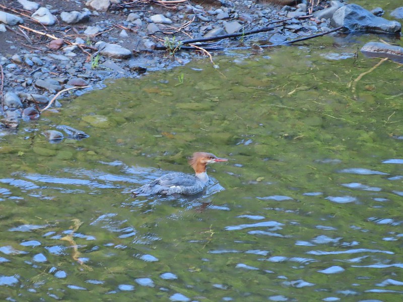
 Mergansers
 The view next to the bench.
 The view from the bench.
 Going around another arm.
 A checker-mallow
 Aster
Aster Forest as we neared the campground again.
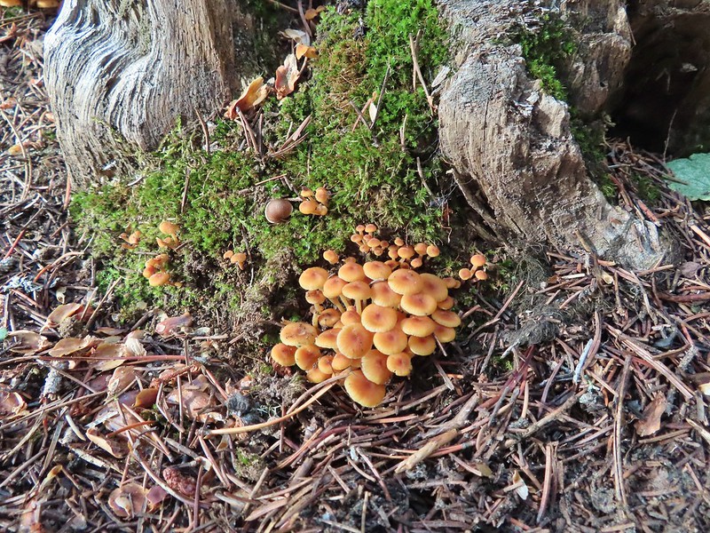
 Arriving back at the ramp.

 The first part of the trail passed through a stand of trees.
 View to the west along the South Fork Walla Walla River canyon.
 Loved the top of this tree.
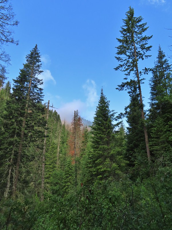
 Another view, there was just a hint of smoke in the air giving the hillsides a blue tint which is where the name “Blue Mountains” comes from. Apparently smoke has been a common occurrence here for a long time.
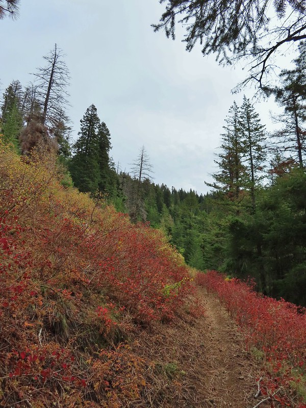
 There was a lot more Fall color along this trail.
 Paintbrush
 Cone flower
 Aster amid some thimbleberry leaves.
 Vine maple


 Looking down toward the Sheep Creek.
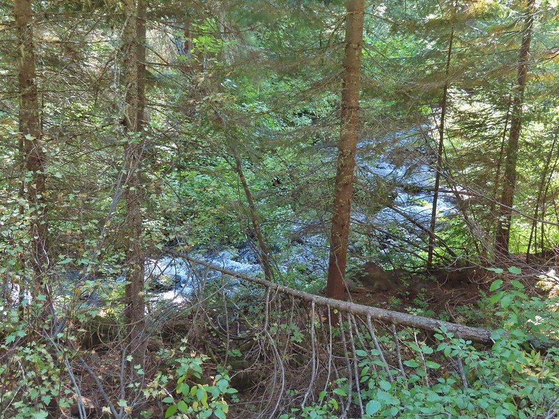
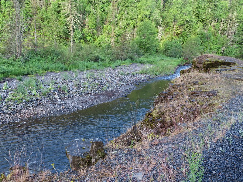
 Finally found the river.
 There was a 6 to 8′ waterfall along Sheep Creek but no way to get a clear view of it through the thick vegetation on a steep hillside.

 Two types of clover.
 Footbridge over the South Fork Walla Walla River.


 Reser Creek on the left joining the South Fork Walla Walla River just upstream from the bridge.
 There were just enough exposed rocks for me to work my way downstream from the bridge to Sheep Creek.

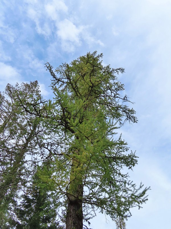 A couple of the larch trees were just starting to turn color for the fall.
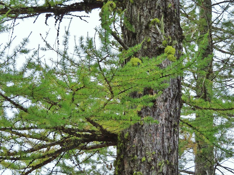

 A scarlet gilia blossom waiting to fall off.
 A final view back over the canyon with the crooked tree.
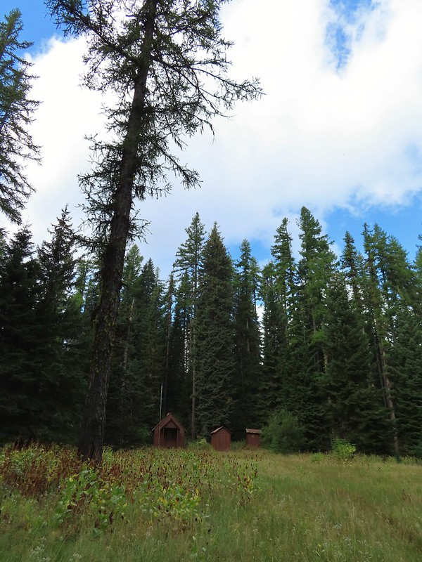 The guard station.
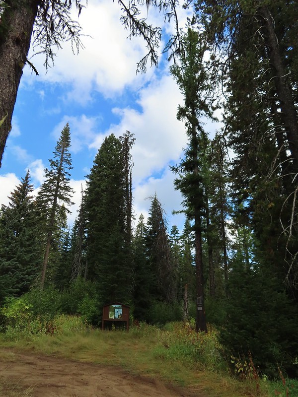 The only “parking spot” open near the actual trailhead.

 There was a lot of cone flower along the trail.
 It had rained the night before but most of the moisture had already dried up or evaporated.
 There were just a few flowers hanging on.
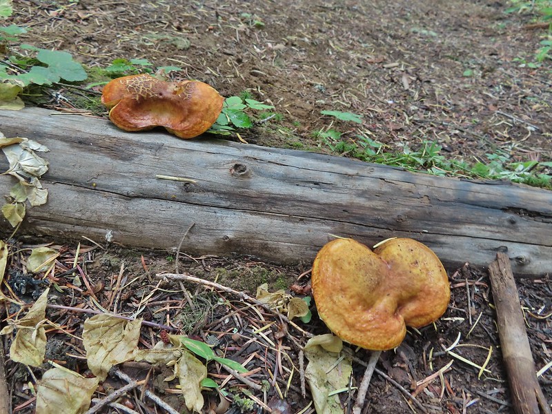 There was also a nice variety of mushrooms.
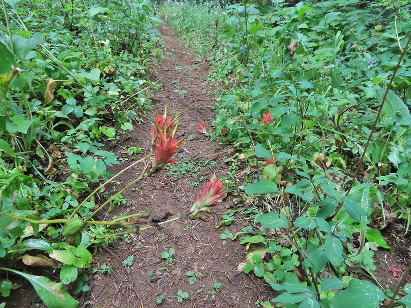 Paintbrush

 One of the small streams.
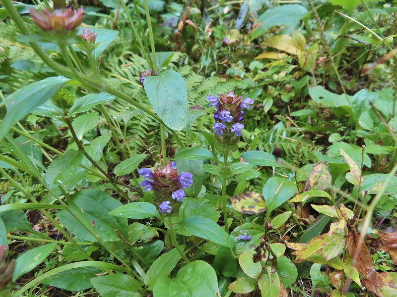 Self-heal
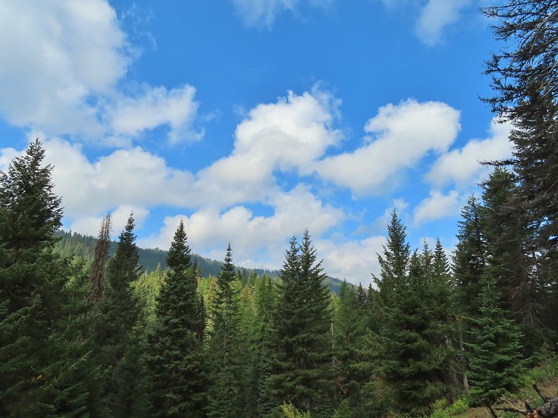 There weren’t many views along the trail but this one was nice.
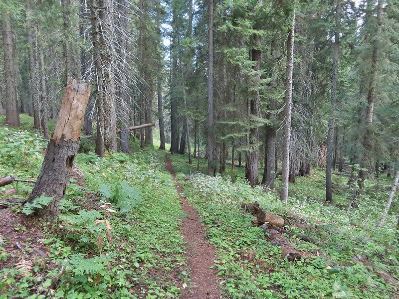
 Pearly everlasting
 Ghost pipe
 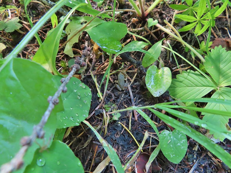 This was one of the smallest frogs we’ve seen. When I first saw it jump I mistook it for a grasshopper.

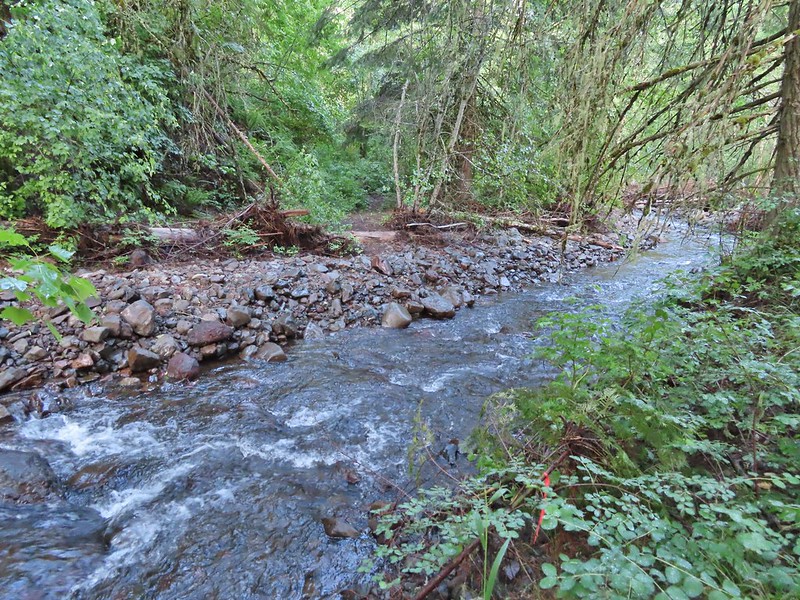
 South Fork Wenaha River


 One of two snakes we came across, both the harmless types.
 South Fork Wenaha River
 Fall colors along the trail.
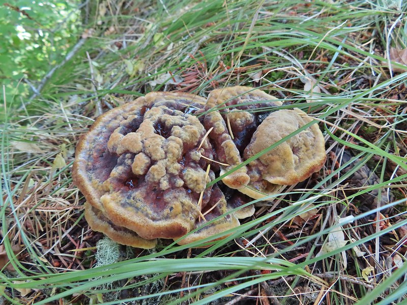

 Milk Creek with the Wenaha River Trail continuing on the far side.
 Milk Creek joining the South Fork Wenaha River.
 Elderberry near Milk Creek
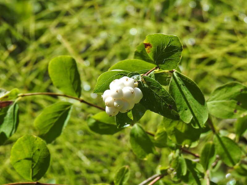 Snowberry
 Might be an aven?
 Coral fungus
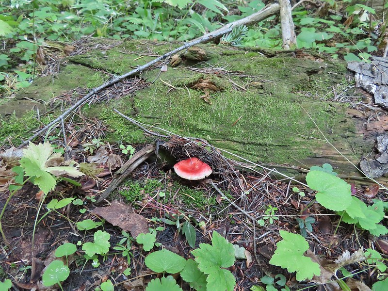

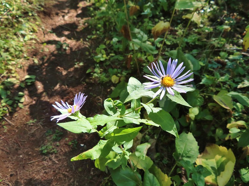 Aster
Aster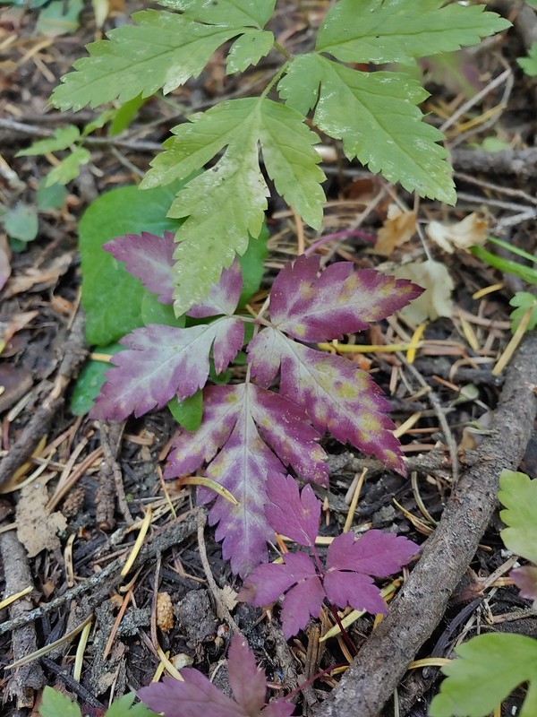
 A lone arnica still blooming.


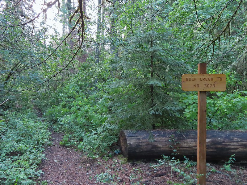
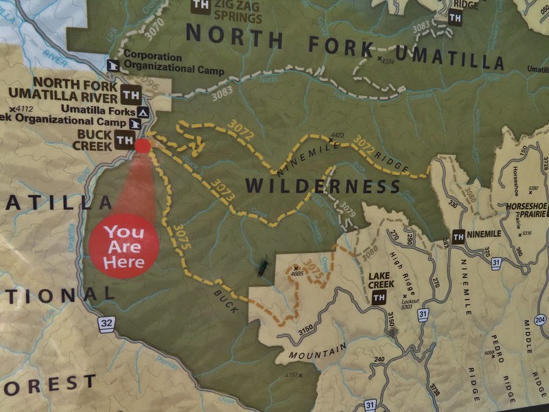
 Buck Creek Trailhead
 Buck Creek Trail straight ahead with the Buck Mountain Trail to the right. Notice that the Buck Mountain Trail didn’t receive a nice new sign. (Not pictured is the Ninemile Ridge Trail to the left.)
 Nice new wilderness sign along the trail.
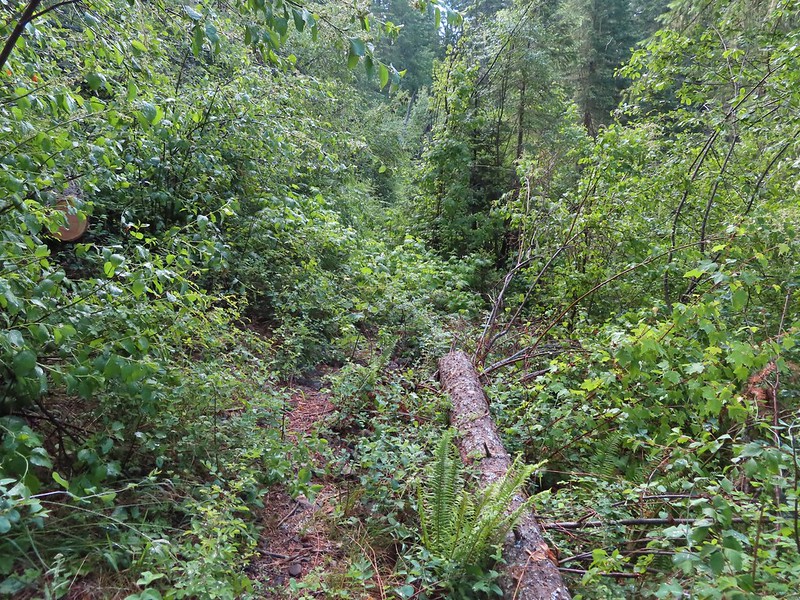
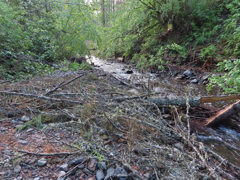
 Signs of the flooding.
 Blue sky
 Washed out section of trail.
 Recent trail repair here.
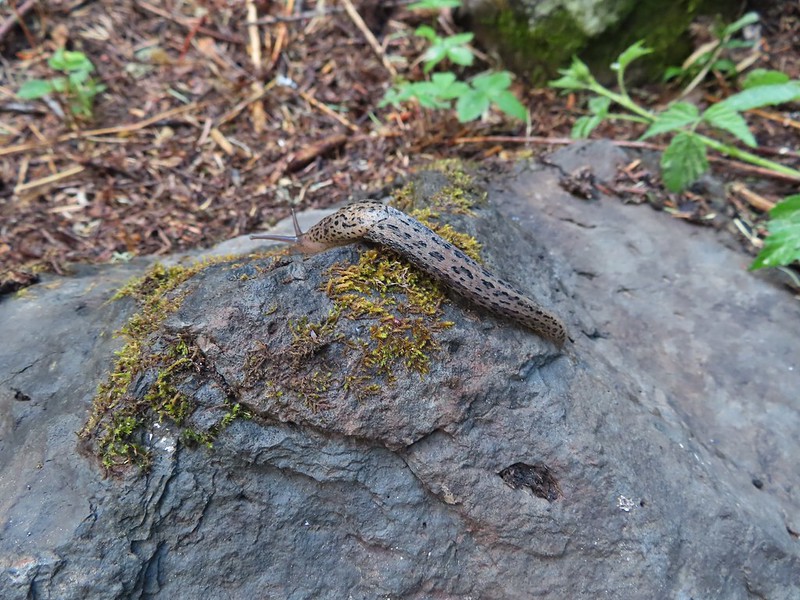 Slugs didn’t mind the damp conditions.
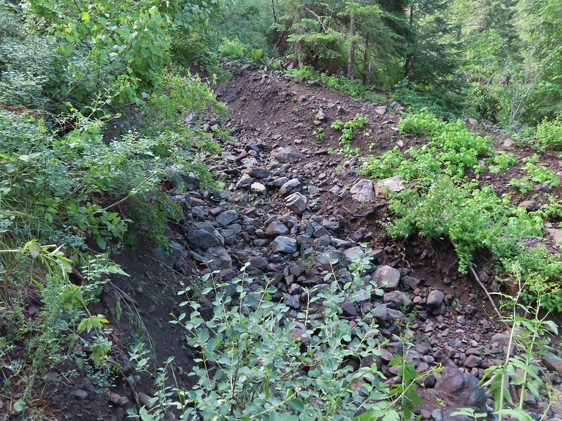
 Honeysuckle was everywhere in this wilderness, on all three hikes.
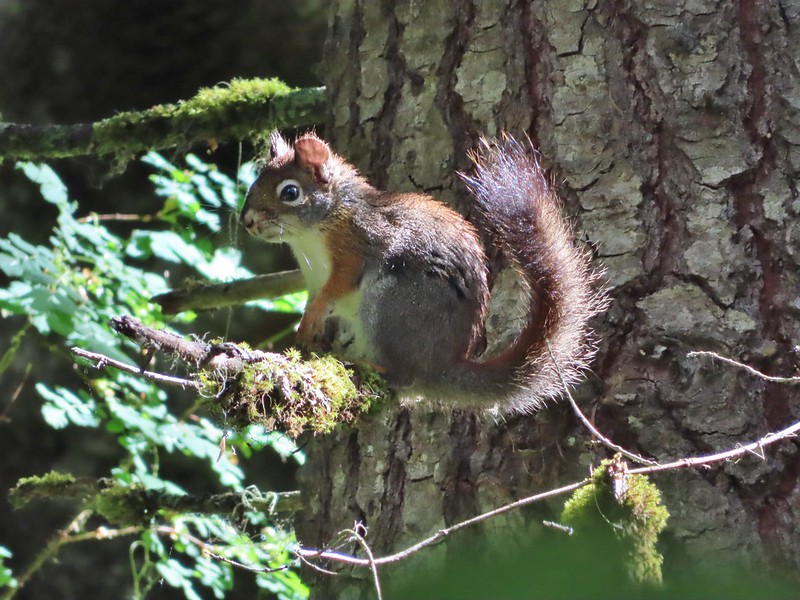 Squirrel!


 Closed portion of Bingham Springs Road (NF 32).
 We had completely missed this trail along NF-32 the day before having been distracted by the large number of butterflies in the area.

 We stayed right at this junction to head down to the North Fork Umatilla Trail.
 Spreading dogbane
 Evidence of the February 2020 flooding covering the North Fork Umatilla Trail, also there is a squirrel on the base of the tree at center.
 Some signs of recent maintenance.
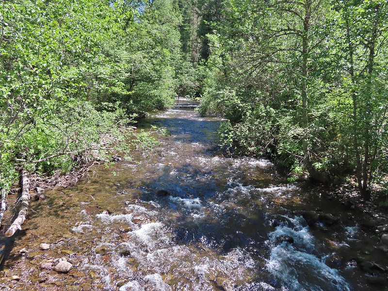
 North Fork Umatilla River


 Debris from the flood in what appeared to be a new route for the river.
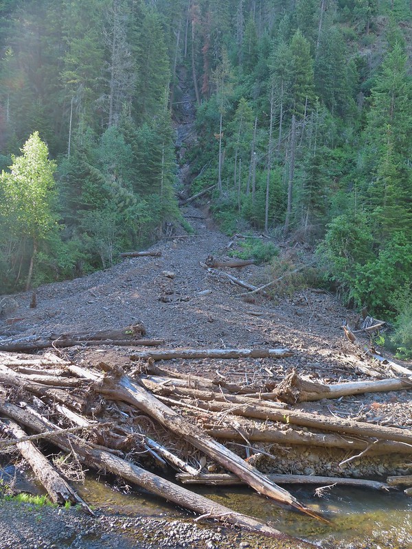 This big slide was across the river.
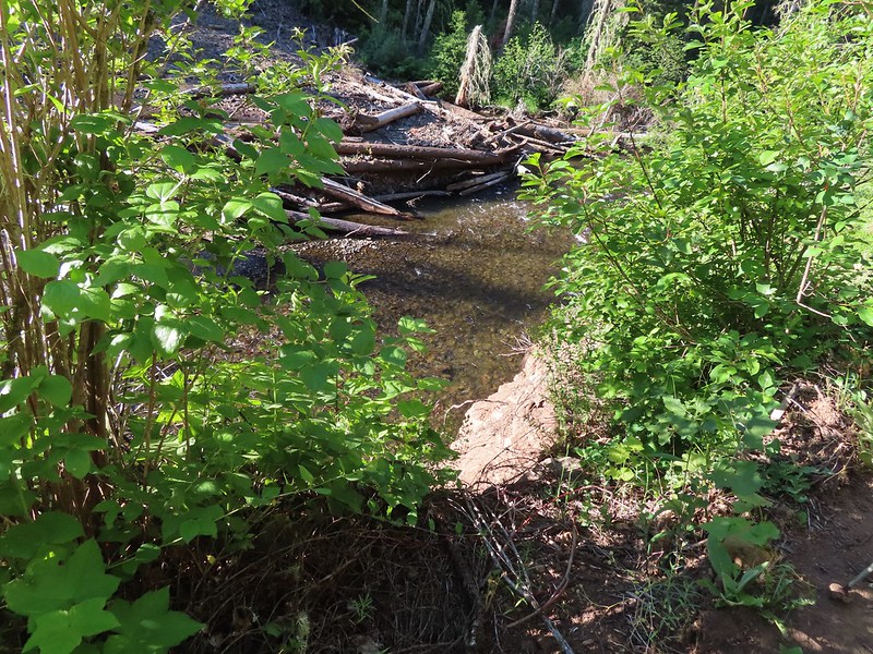 Some of the trail side was also lost.
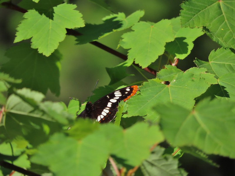 Lorquin’s admiral
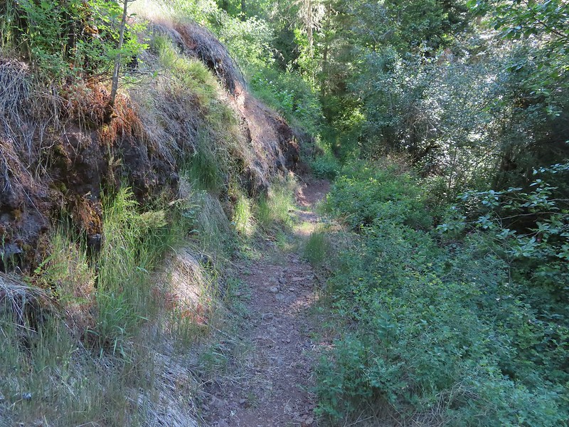 A section of trail that survived intact.
 Looking down another small slide.
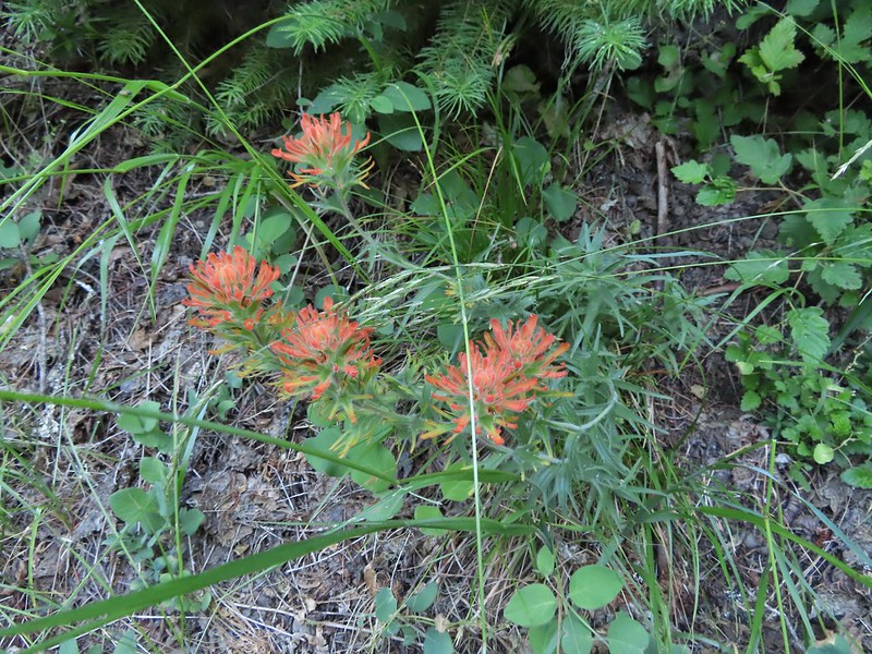 Paintbrush
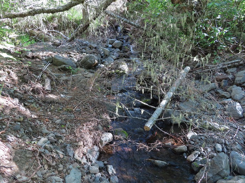 More maintenance along another washout.
 Arnica
 A number of slugs on the trail, Heather counted at least two dozen in just a few feet.
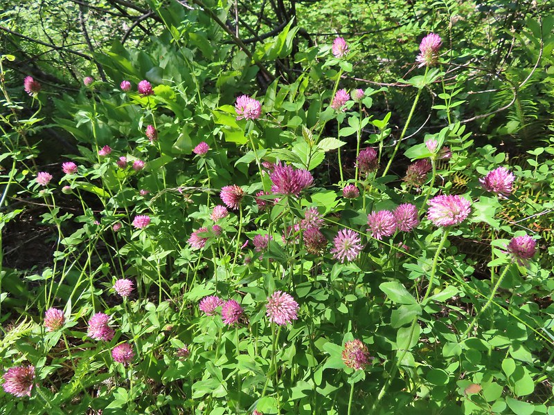 Clover
 Monkeyflower
 Alpine pennycress
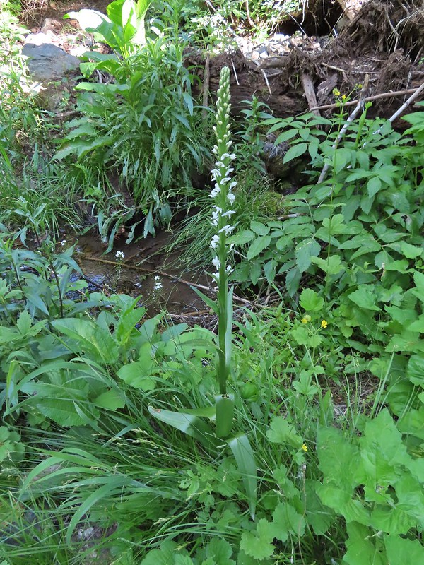 Bog orchid
 Stonecrop along an exposed section.
 Ragged robin in the exposed area.
 At one point this guy was hitching a ride on my pant leg.
 View from the trail.
 This section was a little overgrown.
 I believe this is Sabin’s lupine.
 Spur trail to a large campsite near Coyote Creek and the North Fork Umatilla River.
 Missing a footbridge.
 I crossed on that log.
 Found the footbridge.
 Flagging for the scramble route.
 Flagging for the North Fork Umatilla Trail
 Butterfly on a cinquefoil?
 Confluence of Coyote Creek and the North Fork Umatilla River.
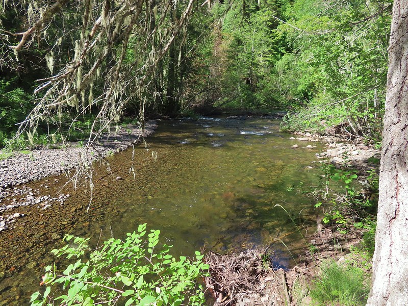 Deep hole below the campsites along the North Fork Umatilla
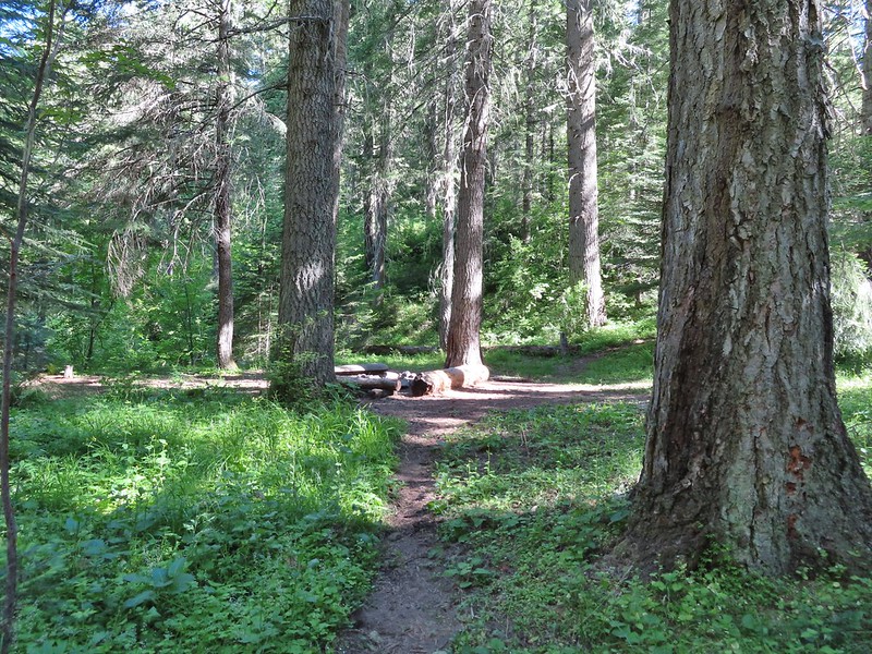 Campsite near Coyote Creek.
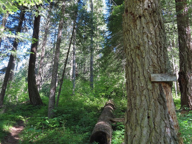 Heading back on the trail.
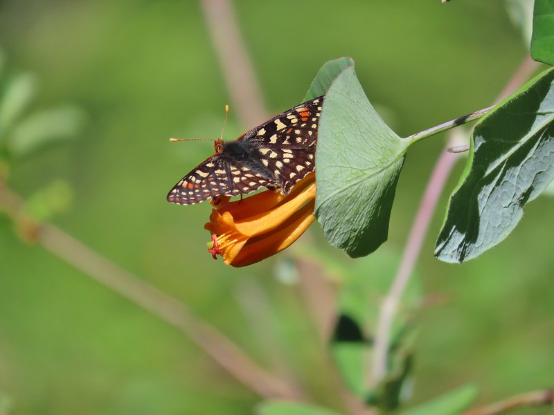 Checkerspot on honeysuckle
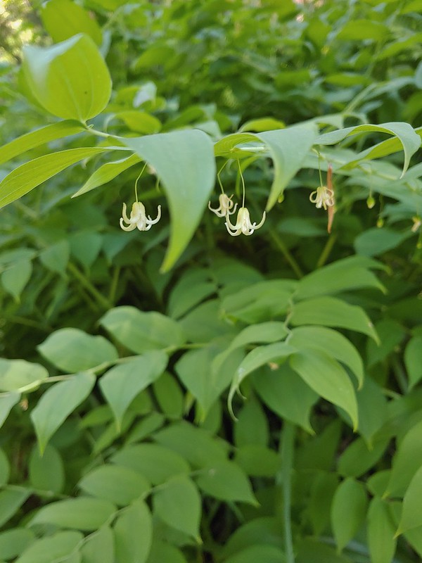 Twisted stalk
 Spotted coralroot
 Phantom orchid
 Houndstongue
 Signboard at the trailhead.
 Sign for the
  Not swallowtails but these lorquin’s admirals sure liked this scat.
 The first mass of swallowtails was on the far side of the river along this stretch.
 The second and larger group was at this wet spot along the road.


 Yarrow
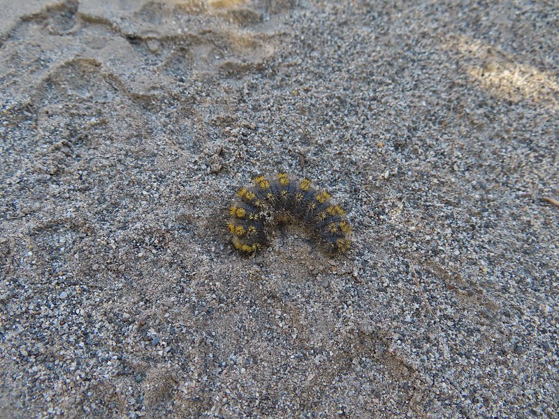 Caterpillar
 Looking right down the roadbed which would lead back to the parking area.
 Ducks in the Lower Pond
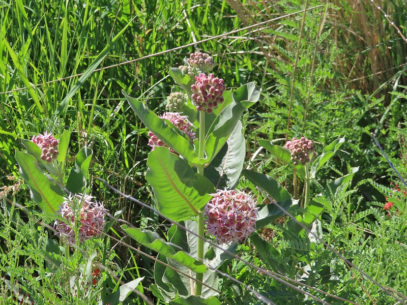 Showy milkweed
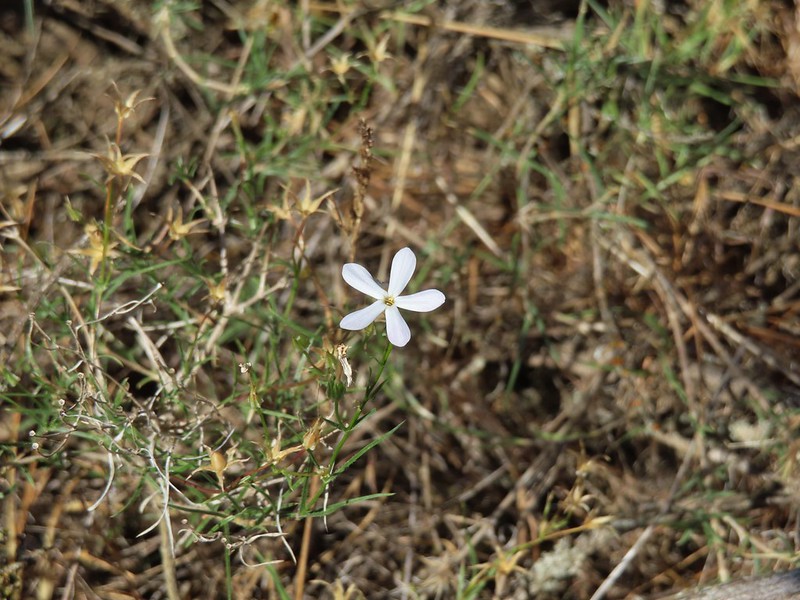 A lone phlox blossom
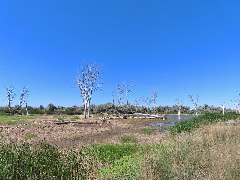
 Female red-winged blackbirds
 Blue-winged teal and a black-necked stilt.
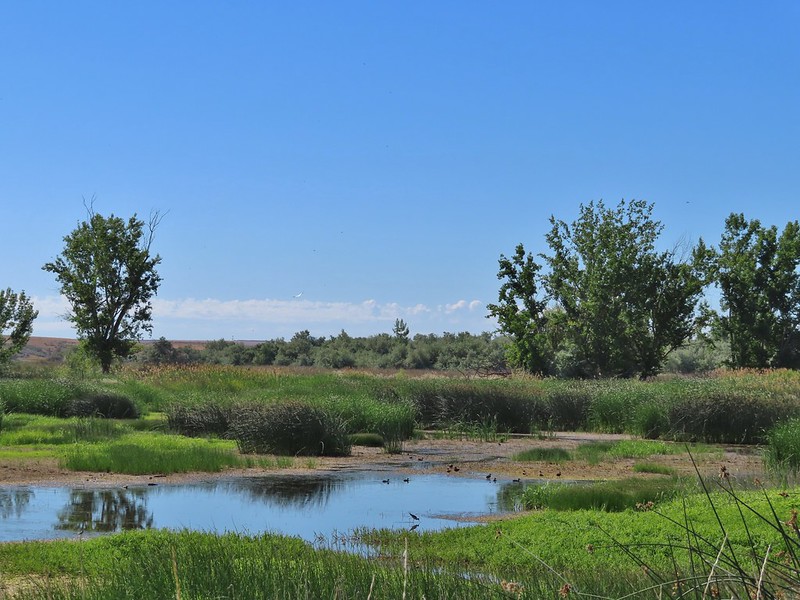
 Black-necked stilt
 Red-winged blackbird
 White pelican
 Cinnamon teal
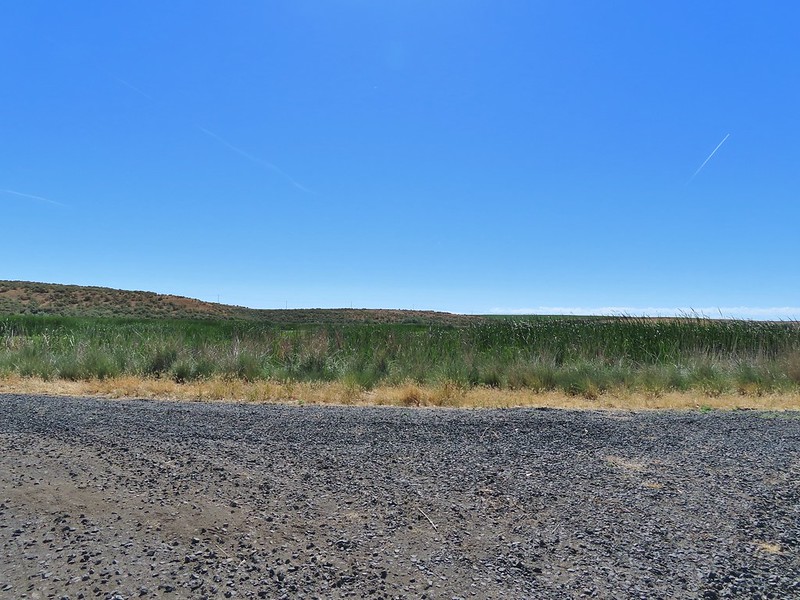

 Middle Pond
 Spur road to hunting blind 5. The blinds were well signed but not marked on the brochure map. The laminated map at the trailhead though did show the blinds which would have also been very helpful.
 Upper Pond
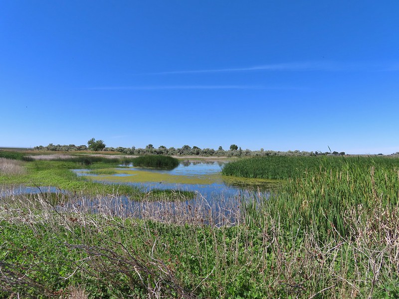 Upper Pond
 Yellow headed blackbirds
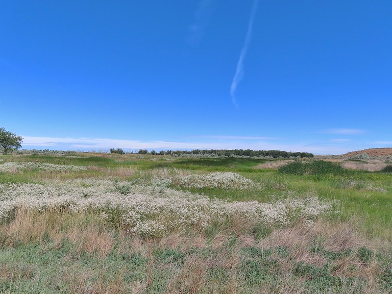 Not going to be making a loop around the Upper Pond.
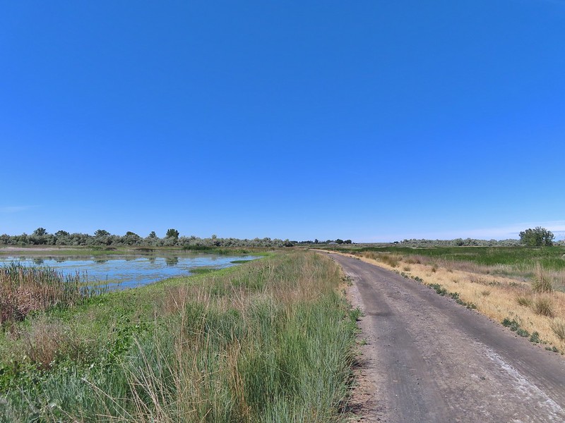
 Killdeer
 Great blue heron
 Lazuli bunting


 The road walk wasn’t all that bad as it followed the Umatilla River the whole way.
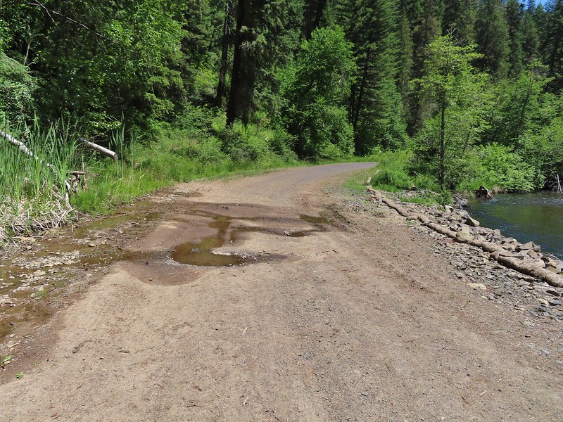 This was a popular spot with the butterflies, particularly swallowtails.
 Swallowtails
 Swallowtails
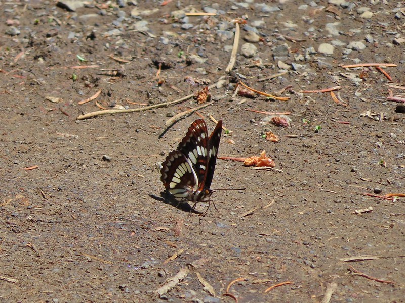 Lorquin’s admiral
 A tortoiseshell
 Dragon fly watching the butterflies
 Just beyond the sign we crossed the North Fork Umatilla River.
 Ouzel
Ouzel FR 045 on the left.
 Another gathering of butterflies


 Grouse
 Buckwheat
 Ragged robin (Clarkia pulchella)
 Lingering snow in the distance.
 Ragged robins
 Paintbrush
 Yarrow
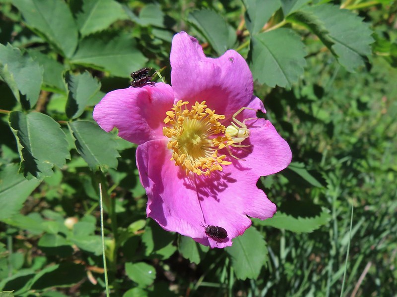 Bettles and a crab spider on rose
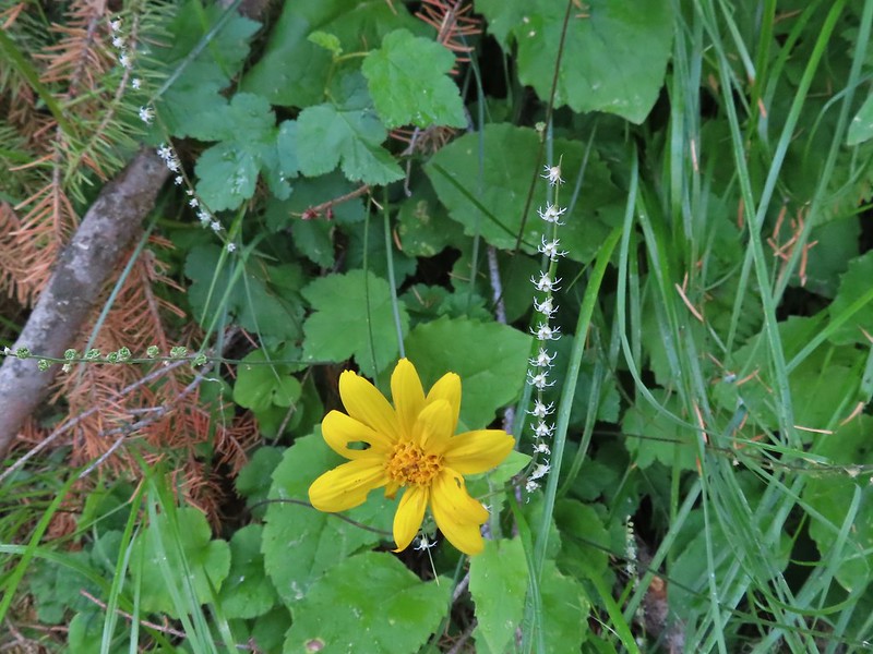
 Arnica
 You might be able to make out the trail continuing up the far hillside.
 Now on the far hillside heading for that small tree on the ridge end.
 Looking back along the trail and at Ninemile Ridge.
 South Fork Umatilla River from near the ridge end.
 Heading up to the ridge top.
 Gaining the ridge and a view ahead of what’s to come.
 Balsamroot
 Large-flower triteleia
 A penstemon
 Paintbrush and prairie smoke
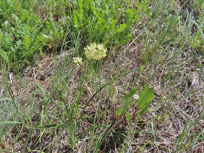 Death camas
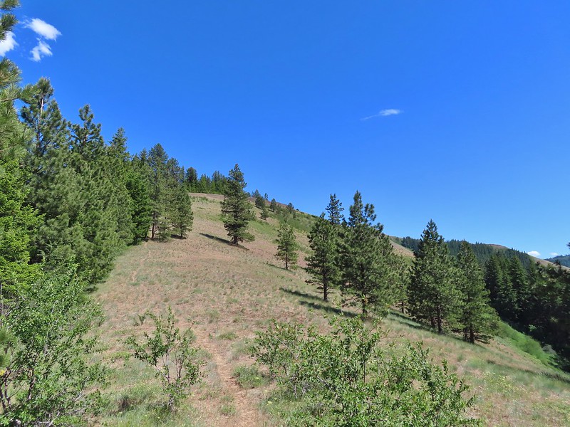
 Turkey vulture checking to see if we were dead yet.
 Ravens also interested in our carcasses.
 An allium
 There was a 20% chance of showers according to NOAA so these clouds forming weren’t a surprise.
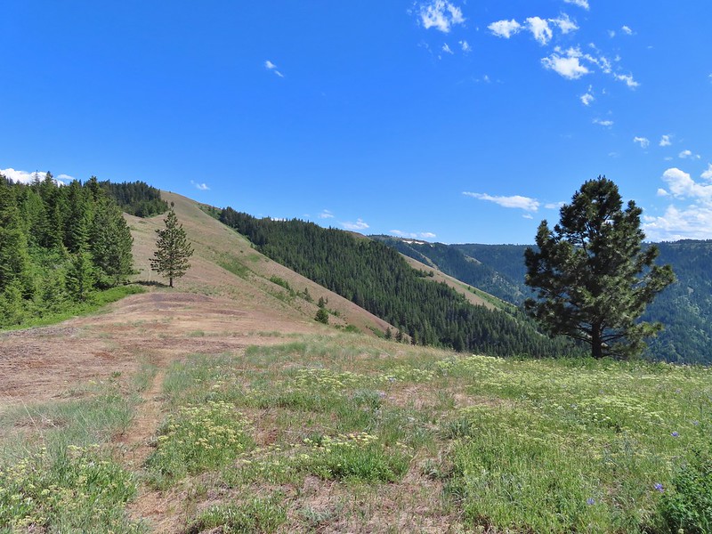 A flat stretch along the ridge before another steep climb.
 Buckwheat and Large-flower triteleia
 Bush penstemon
 The trail was actually down to the left but the ridge seemed like it would take less climbing.
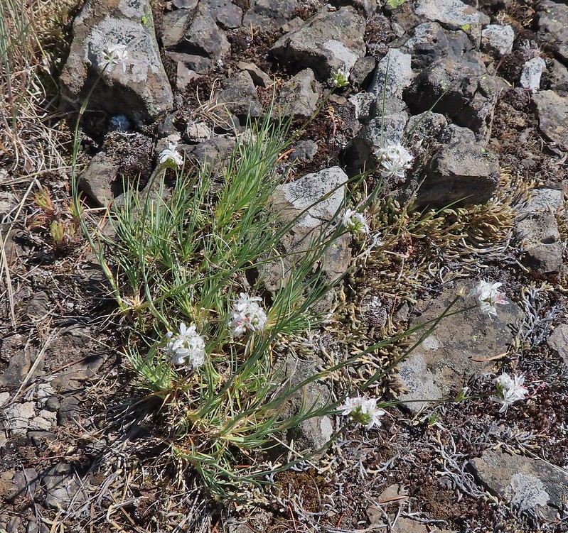 Ball head sandwort?
 Lupine
 Paintbrush along the final climb.
 A parsley and naked broomrape
 Larkspur
 Rosy pussytoes
 Cairn on the right.
 Clouds starting to pass over.
 High Ridge Lookout to the left
 High Ridge Lookout
 Looking back down Ninemile Ridge
 Heather making her way up.
 Blue-eyed Mary and elegant mariposa lily
 Slender phlox
 A phacelia
 Hoary balsamroot (most of it was way past)
 Phlox
Phlox

 Spotted coralroot
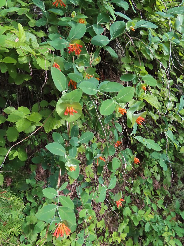 Honeysuckle
 Arnica and small flower miterwort
 Twinflower


 Vetch
Vetch Spreading dogbane
 Wild rose with a beetle
 Yarrow
 Houndstongue
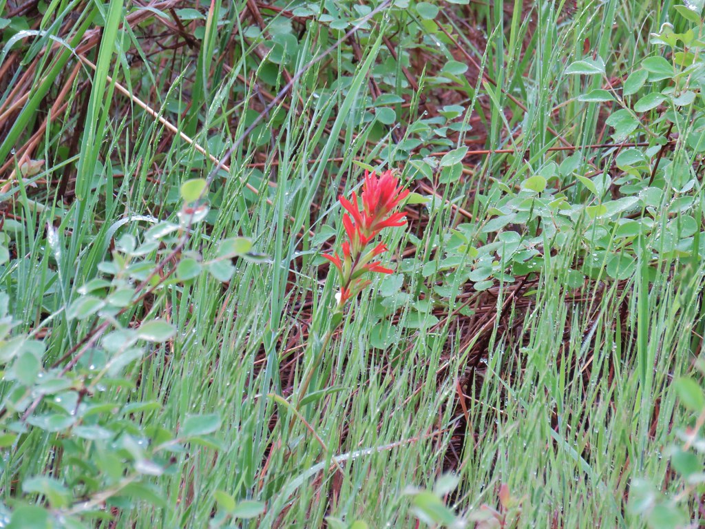 Paintbrush
 Catchfly
 sticky purple geranium


 Oregon sunshine
 Monkey flower
 Watercress?
 Fiddleneck
 Rough eyelashweed
 Blanket flower with two sleeping bees
 Yellow breasted chat
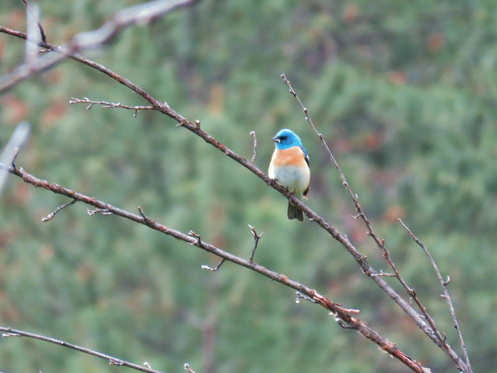 Lazuli bunting


 Penstemon
 Clarkia
 Phlox
Phlox More spreading dogbane
 Buckwheat
 Scabland penstemon
 Cinquefoil?


 Woodpecker with a snack.
 Northern flicker
 Black headed grosebeak
 Blue dicks with a beetle
 Lupine
 Salsify
 False sunflowers
 Balsamroot
 Clarkia with beetles
 View from the ridge end.
 Another bunting
 Wallflower
 Another chat


 Geranium

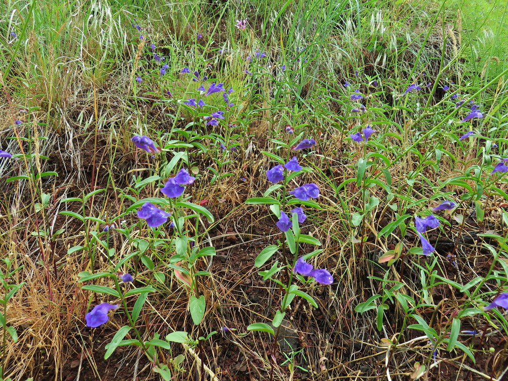 Skullcap
 Stream globemallow
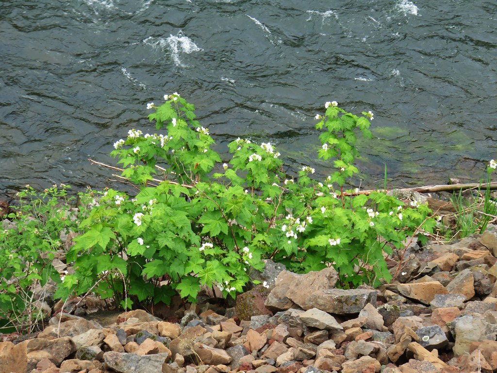 Thimbleberry
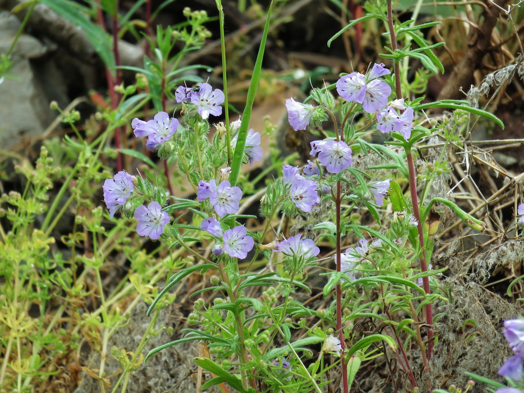 Threadleaf phacelia


 Officially inside the wilderness
 Blue sky
 Wren
Wren Spider and blue dicks
 Old man’s whiskers
 Wild onion


 The bees woke up at some point.