**Note the 2024 Rail Ridge Fire burned over the Black Canyon Wilderness.**
Every year we pick our vacation time in January/February (due to work) so we never know what the conditions will be when we choose. We had a week scheduled in July for a trip to the John Day area in hopes to make further headway on the 100 featured hikes in Sullivan’s “100 Hikes/Travel Guide Eastern Oregon” (post) and to complete our goal of visiting all of Oregon’s designated wilderness areas (minus the two that are closed to human visitors) (post).
With severe drought conditions present all of the West and multiple wildfires burning in Oregon we kept an eye on the forecast and made daily checks with the relevant National Forests to make sure the hikes that we had planned remained open. While all of the trails were open a red flag warning for possible scattered thunderstorms Monday and Tuesday for the Blue Mountains had us a little concerned. The forecast also called for “wide spread haze” every day but fortunately not for “smoke” which meant we’d probably not have much in the way of views on the trip. We could deal with the haze, it was the possibility of new lightning caused fires that could quickly end our trip and our two days of hiking (Monday & Tuesday) involved our first overnight backpacking trip of the year.
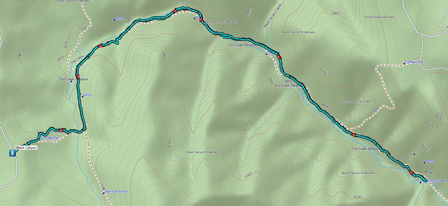
Monday we left Salem and drove to the Boeing Field Trailhead, the first of two stops in the eastern portion of the Ochoco Mountains.

This trailhead, named in honor of a B-18 bomber that crashed nearby during a WWII training flight killing all four crew members, provides access to the Black Canyon Wilderness via the Owl Creek Trail.
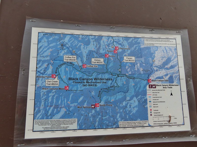
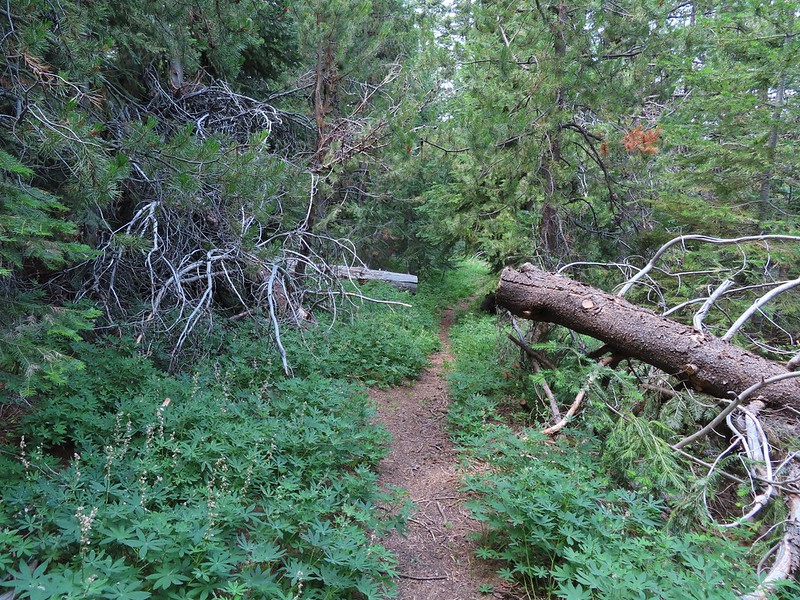
We headed down the Owl Creek Trail and quickly entered our 45th Oregon wilderness area.
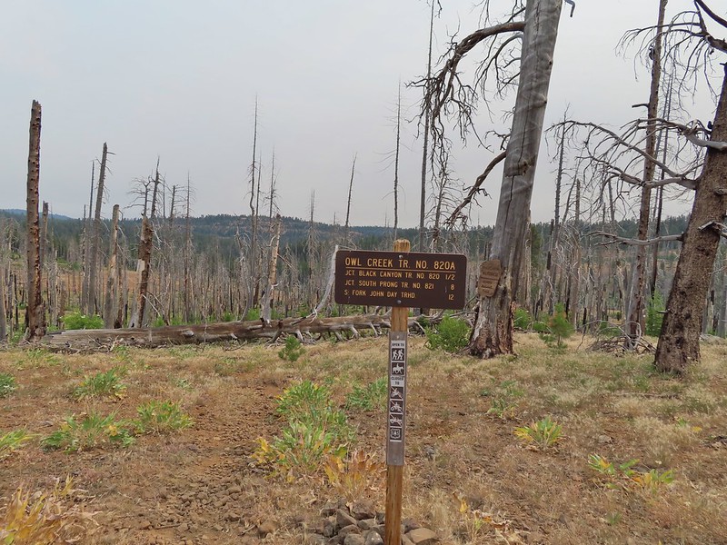

We descended to the nearly dry bed of Owl Creek in the scar of a 2008 wildfire and in a half mile reached the Black Canyon Trail.

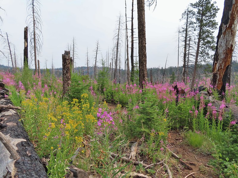
 Aster, paintbrush, and fireweed.
 Fireweed, aster, and pearly everlasting.
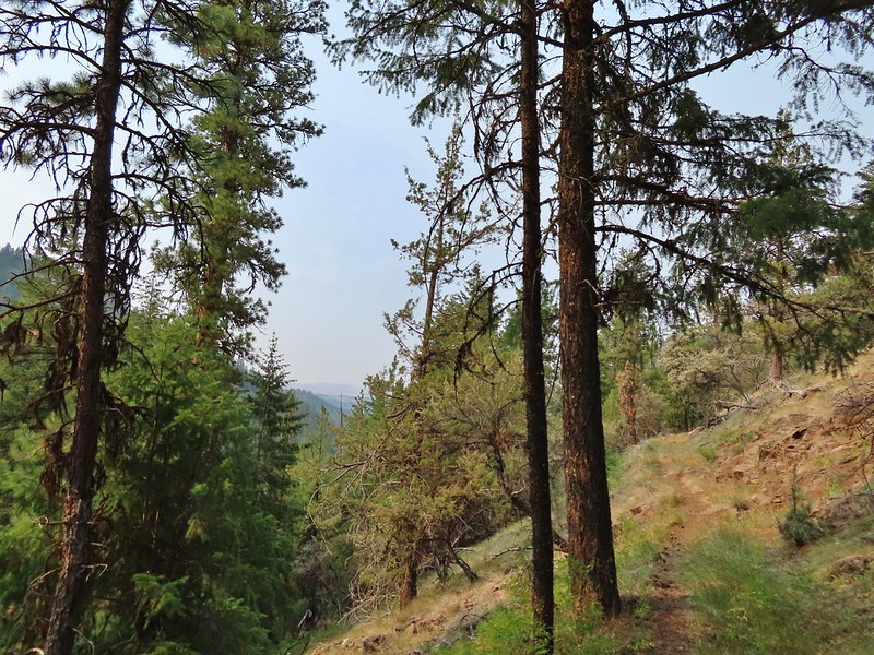
 Clouds and smoke mixing in the sky made it hard to tell if any thunderstorms might be developing.
 We never heard any thunder but we did briefly get sprinkled on.
 Ground squirrel.
 Columbine
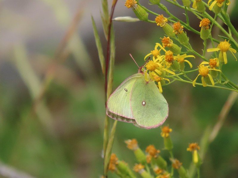
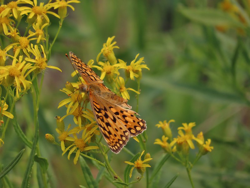 Fritillary butterfly
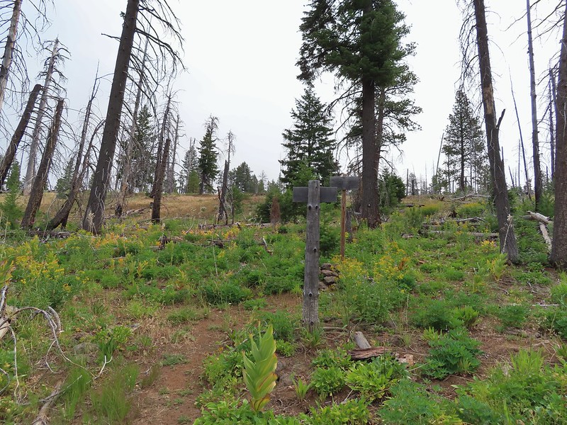 Black Canyon Trail junction.
We turned left onto the Black Canyon Trail and followed it down into Black Canyon along Owl Creek soon leaving the fire scar behind.


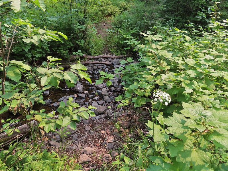 Owl Creek crossing approximately 1.5 miles from the junction.
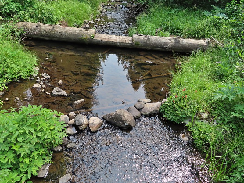
In another half mile we arrived at Black Canyon Creek which we easily crossed on small logs.


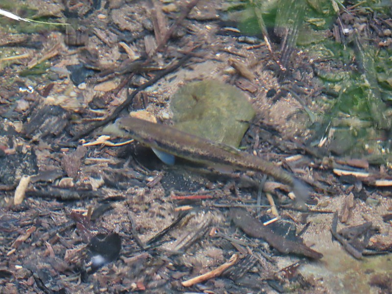 Fish in Black Canyon Creek
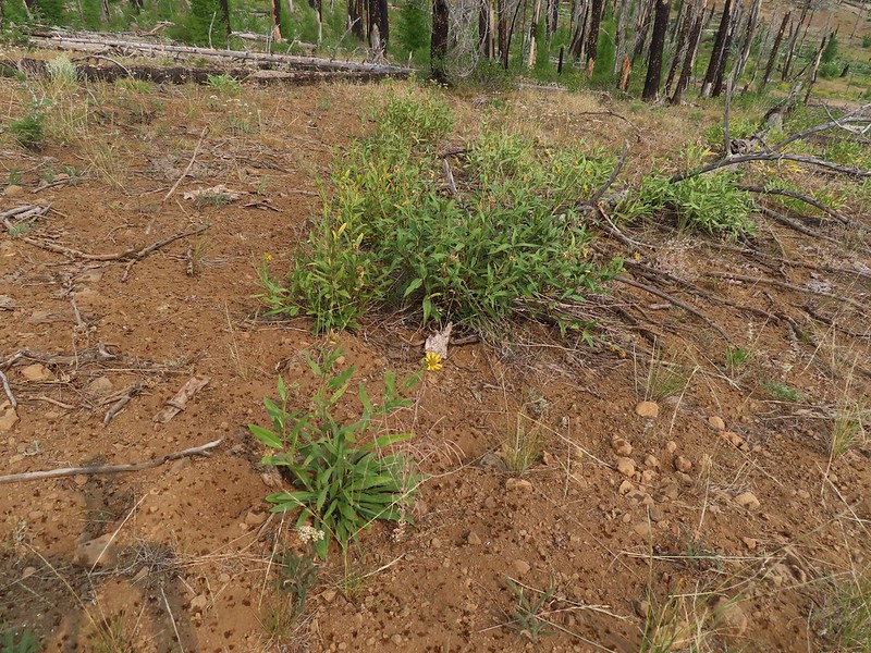
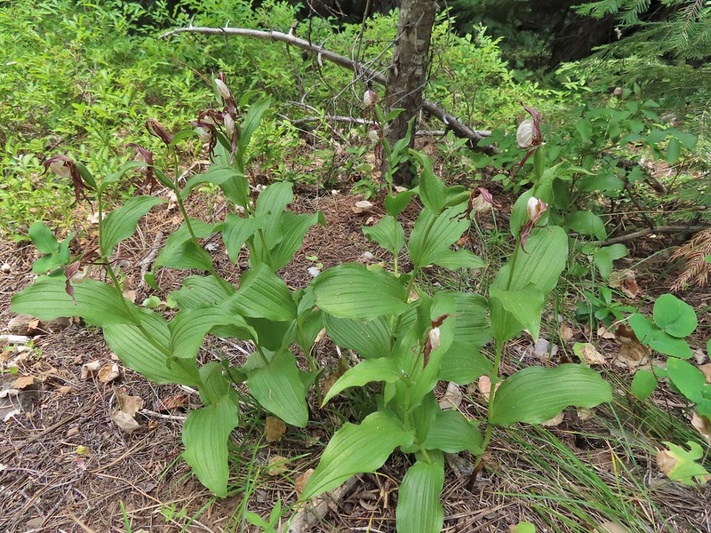
We were seeing a lot of mountain lady slipper orchids but unfortunately they were all past.
Three quarters of a mile after crossing Black Canyon Creek we passed the Coffee Pot Trail and soon entered another fire scar, this one from 2002.


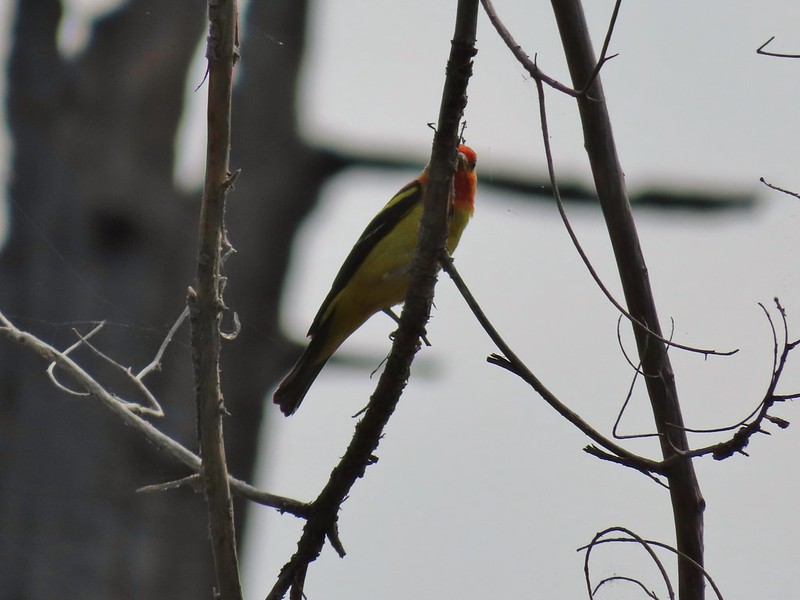 Western Tanager

Just under 4 miles into the hike we came to the second crossing of Black Canyon Creek and our turnaround point for the day.

 California tortioseshell
 Western Jacob’s ladder
 Black Canyon Creek
After a short break on a log spanning the creek we headed back to the car stopping occasionally along the way to watch pollinators busy at work.


This was an eight mile out and back with almost 1600′ of elevation gain, mostly on the way back.
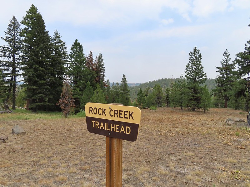
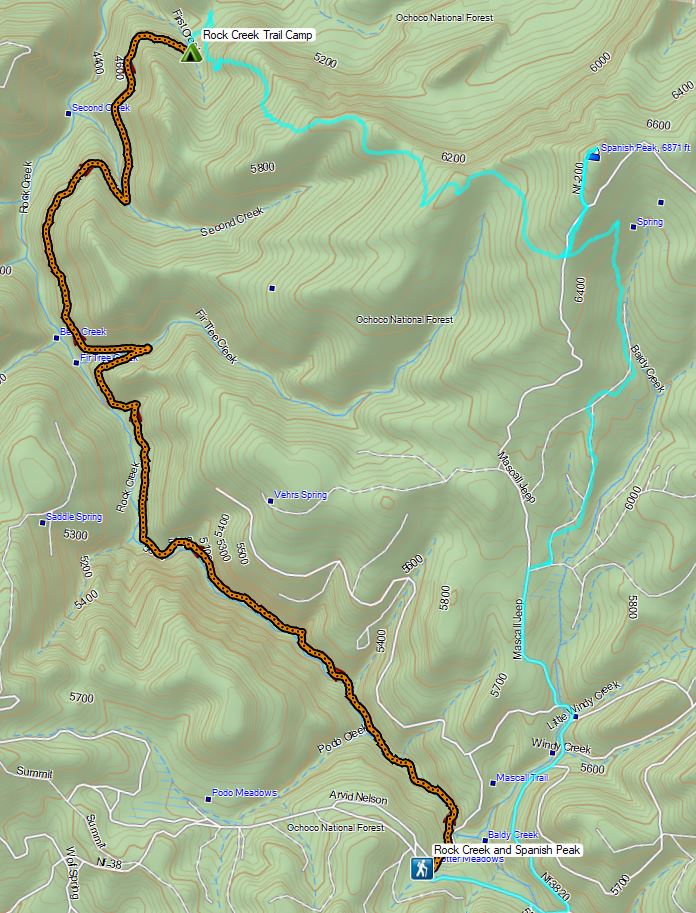
From Boeing Field we drove back the way we’d come 4.3 miles to the Rock Creek Trailhead.
Here we threw on our full backpacks as our plan was to camp somewhere along Rock Creek and then return on a loop the next day by hiking up to Spanish Peak the next day following the route of the Ochoco Mountain Trail and Mascall Corral Trail.
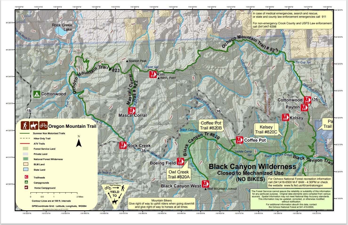
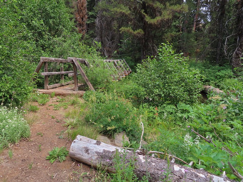
From the trailhead the trail descended to Rock Creek crossing it on a nice footbridge.


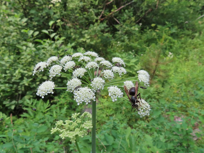 The number of insects on the blossoms and their size differences were fascinating.
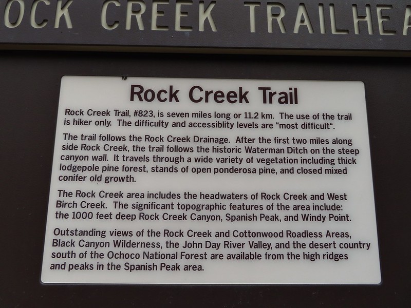
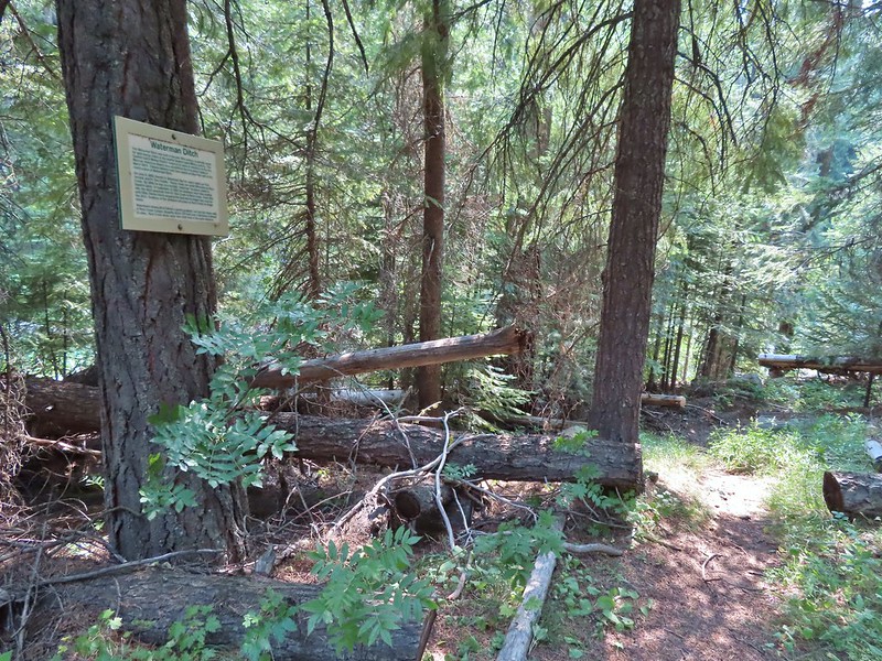
The trail then followed along Rock Creek for a bit before the creek began descending more steeply than the trail. At the 2.4 mile mark we arrived at a sign announcing the Waterman Ditch.

 Snacks


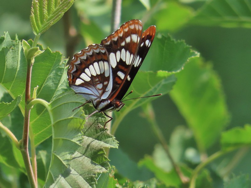 Lorquin’s adrmiral


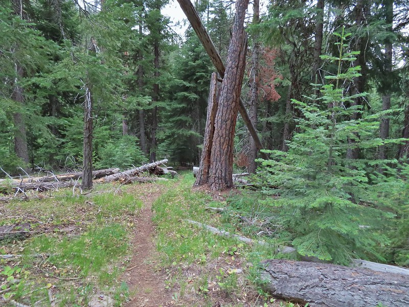
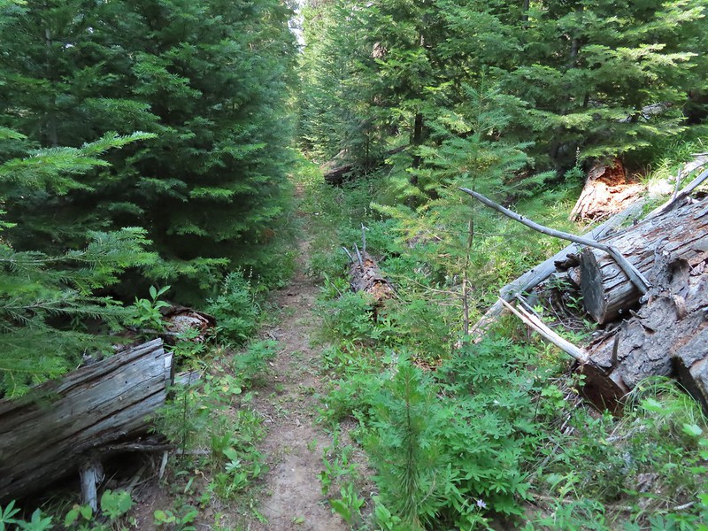
 A little light on the tread in this section.

The trail then followed the old ditch passing the remains of a cabin next to Fir Tree Creek in 1.4 miles.


 Fir Tree Creek
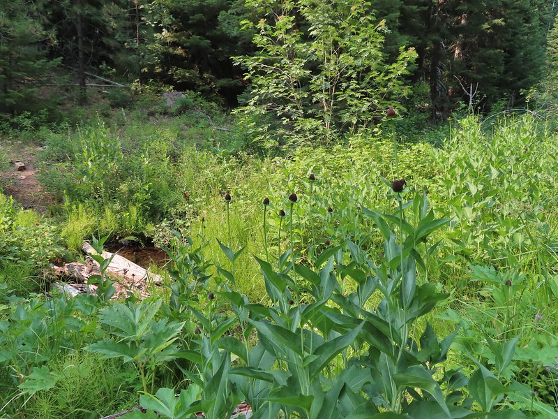
 Butterflies on coneflower
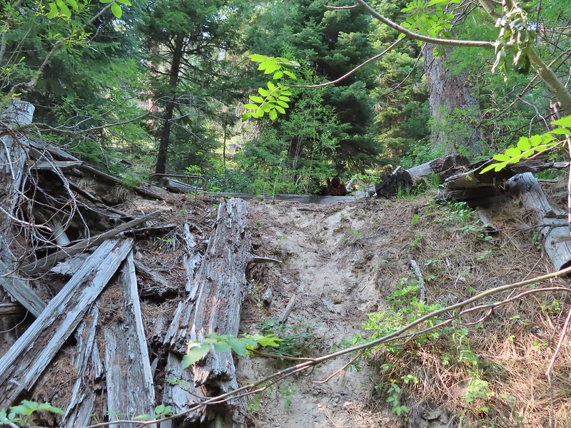 The cabin ruins.
We continued on heading for Second Creek which was just over 1.5 miles beyond Fir Tree Creek where we hoped we might find a spot to camp or at least refill our water supply.
 Coming around a ridge end toward Second Creek.
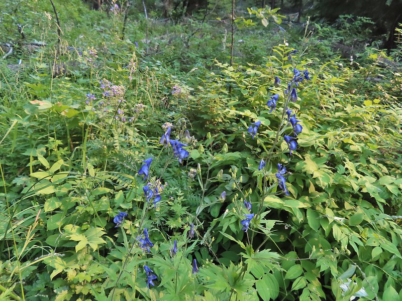 Monkshood at Second Creek
 This little guy oversaw our water pumping.
There wasn’t a lot of water in Second Creek and the crossing where the most obvious spot to get water was had a whole lot of yellow jackets flying around. We had to do a little hunting up and down the creek in thick vegetation to find a pool deep enough for our pump but finally managed to. What we couldn’t find was a place for our tent or a spot to cook dinner away from the yellow jackets and mosquitos so after getting water we reluctantly continued hiking. After nearly 1.5 more miles we arrived at First Creek where there was almost no water but there was a suitable spot for a tent.
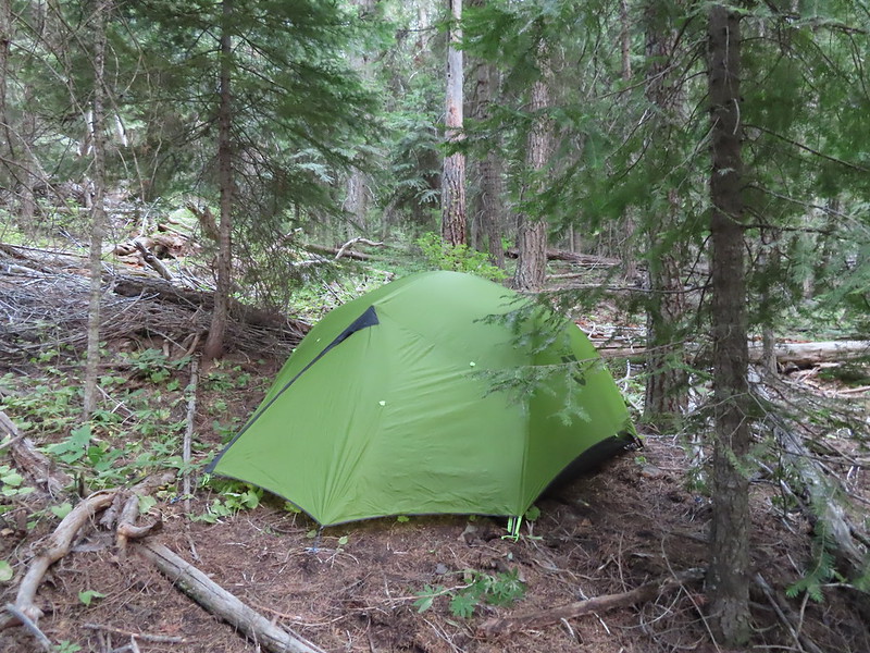
It had been a long day with this hike coming in a little over 7 miles making it a 15+ mile day for us.
It was also a warm evening and we had the rainfly on due to the slight chance of rain which made it even warmer. It did finally cool off enough overnight to warrant pulling our sleeping bag/quilt over us and we managed to get some sleep. I woke up once when something fairly big cracked it’s way through the trees below our camp and a couple more times when a pair of nearby owls were trading hoots. It was a more difficult start to our trip then we had anticipated but a good day none the less. Happy Trails!

2 replies on “Black Canyon Wilderness and Rock Creek – 07/19/2021”
[…] Black Canyon Wilderness in July. (post) […]
[…] Cap, Hells Canyon, Monument Rock, and Steens Mountain. Missing from this list are the Black Canyon (post) and Gearhart Mountain (post) wilderness areas which had featured hikes in earlier versions of […]