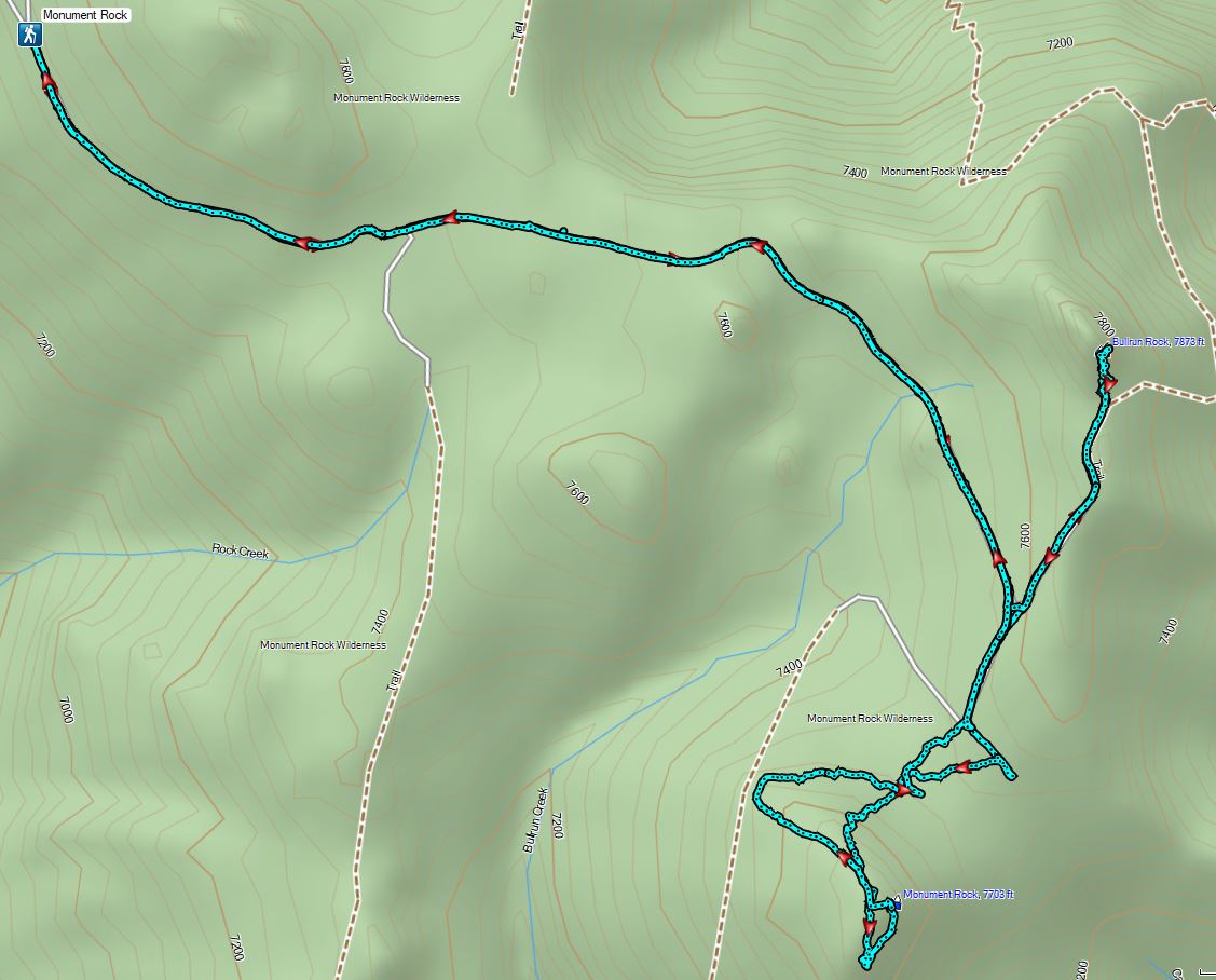
We were finally down to our last Oregon Wilderness area to visit, the Monument Rock Wilderness (post). The 20,210 acre wilderness is located in the southern Blue Mountains a little over an hour east of John Day. We’d spent the night in John Day and woke to find that it had rained overnight but we hadn’t heard any thunder so we were optimistic that no new lighting caused fires would be springing up. We had two hikes in the wilderness planned for the day with the first being a hike to the wilderness’s namesake, Monument Rock.
Our starting point for the hike to Monument Rock was the Table Rock Trailhead. The final 3.8 miles to this trailhead require slow driving and a high clearance vehicle.
 The trailhead is at this hairpin curve below Table Rock. The road continues another 0.8 miles to the staffed Table Rock Lookout but reportedly worsens which is hard to imagine is possible.
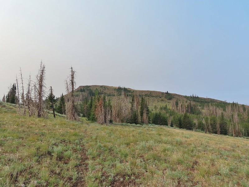
The trail quickly crossed the wilderness boundary on an old roadbed completing our goal of hiking in all of Oregon’s 46 wilderness areas open to human visitors.

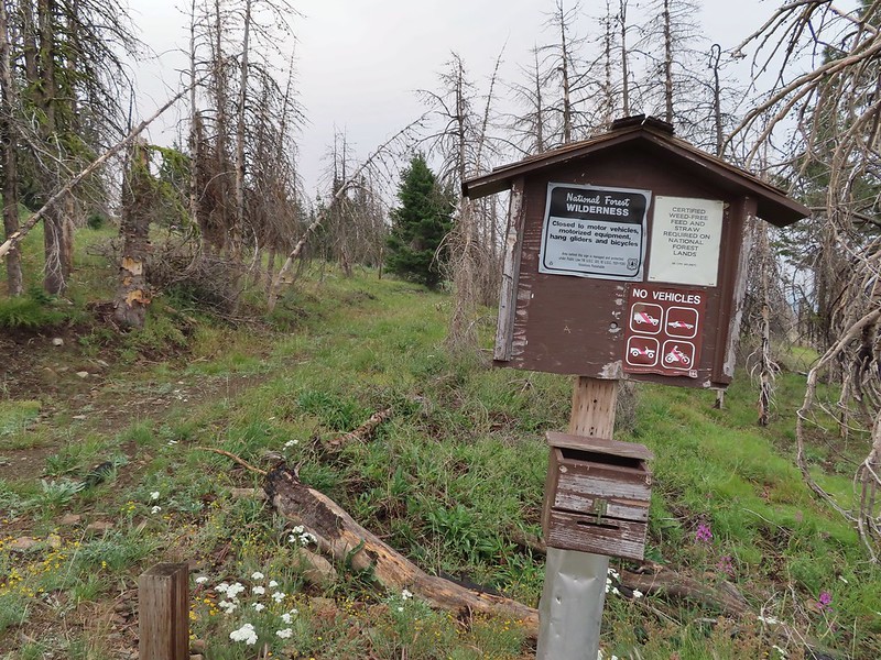
 First time seeing a wilderness sign quite like this.
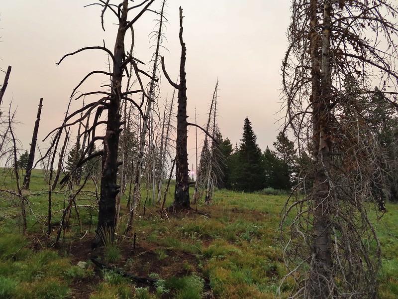
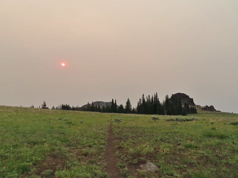
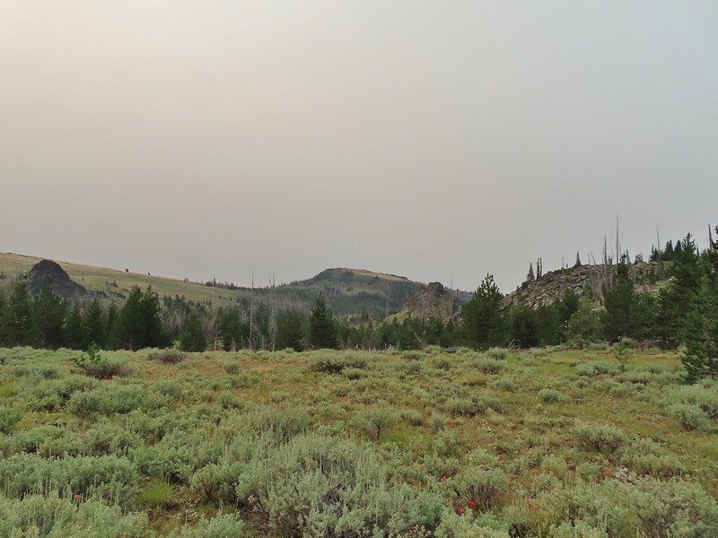
There was quite a bit of smoke in the sky this morning even though we still weren’t really smelling it.
 A red Sun behind the smoke, presumably mostly from the 400,000 plus acre Bootleg Fire east of Klamath Falls in south central Oregon.
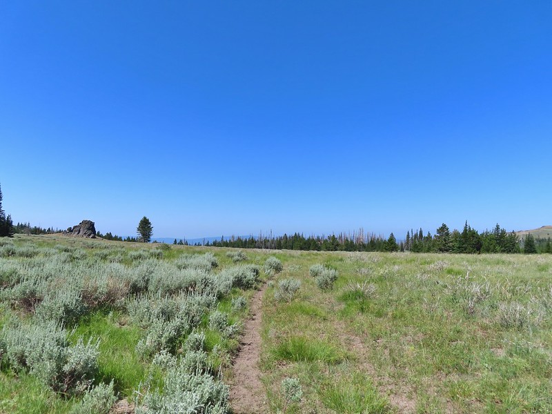
We followed the old road bed through sagebrush and occasional stand of trees for a total of 1.7 miles to a post. There was a nice amount of red paintbrush blooming amid the sage and lots of interesting rock formations along the way.
 Clark’s nutcracker

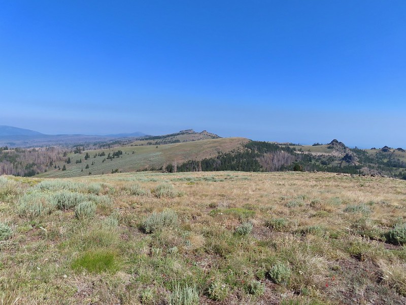
 Monument Rock in the distance.

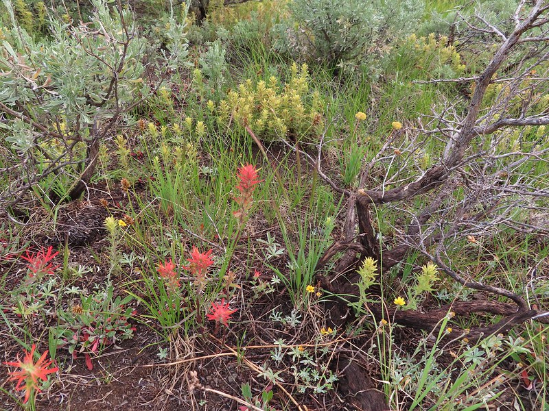
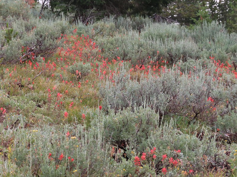 Paintbrush in the sagebrush.
 Ground squirrel

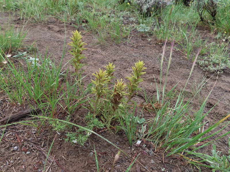 There was a fair amount of this green paintbrush too.
 We believe this post (not the 1.7 mile post) marked a side trail to Rock Spring but we didn’t see any tread in the area to know for sure.
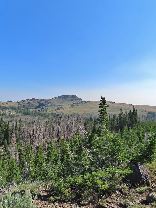
 Bullrun Rock dead ahead.

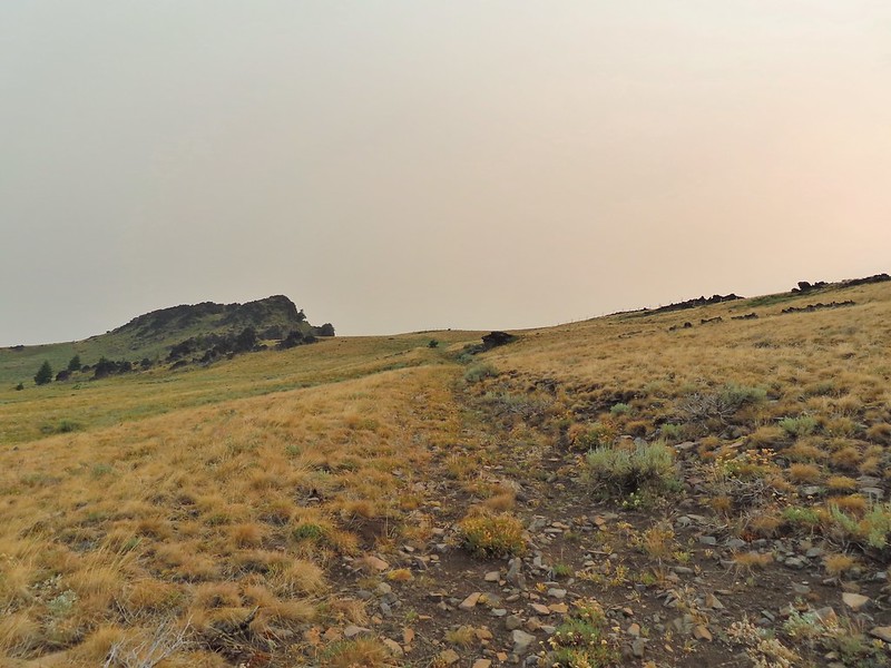
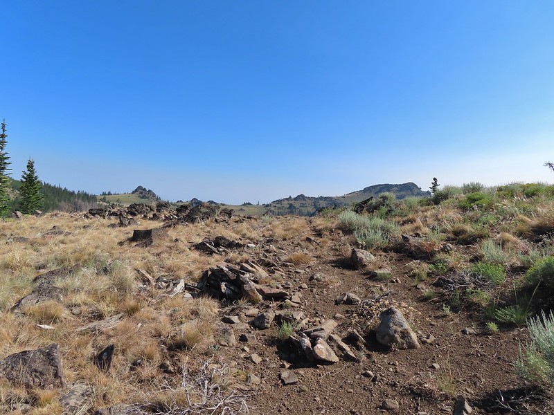
 Table Rock in the distance.
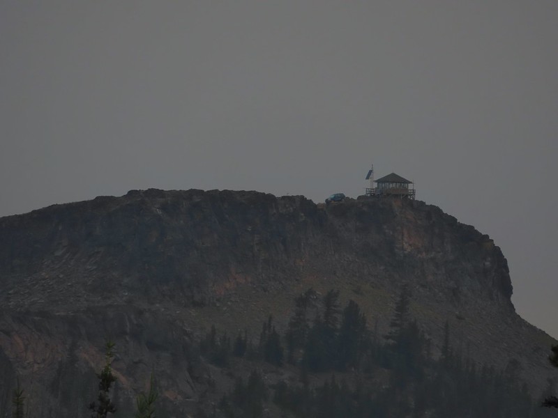 The Table Rock Lookout.

 Two kinds of paint.
 Bullrun Rock below the Sun.
 Monument Rock again.
 Old man’s whiskers
 A checkermallow
 We passed this sign for the Amelia Trail along the way but again didn’t see any trace of tread for it.
 Grazing cattle near the post.
 The post with Monument Rock in the background.
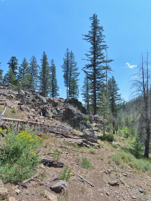
We made a sharp left turn following an old jeep track uphill toward Bullrun Rock.
In a little under a half mile we were at the base of the rock near a fence.

 I believe that is Ironside Mountain.
We then scramble up the side of Bullrun Rock to the 7873′ summit.

 The jeep track and Monument Rock.
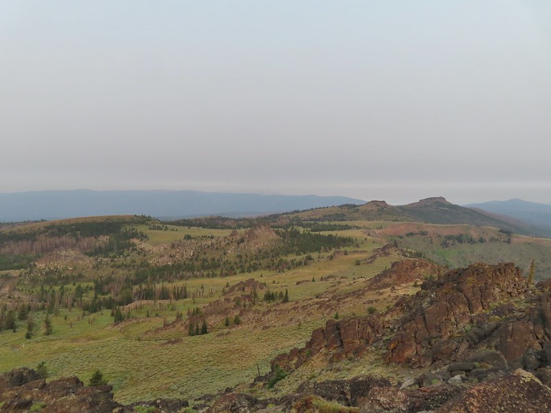 Table Rock
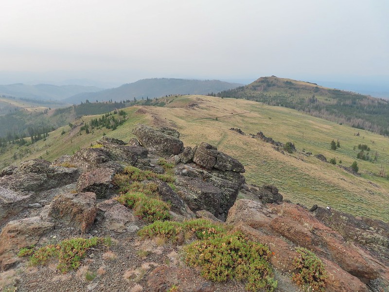
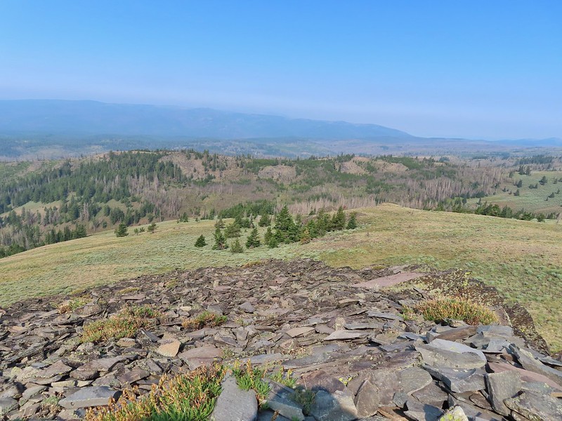
 Looking down into the Monument Rock Wilderness
After enjoying the view we climbed down and returned to the post which we then continued past through an old fence and onward toward Monument Rock.

 Woodpecker
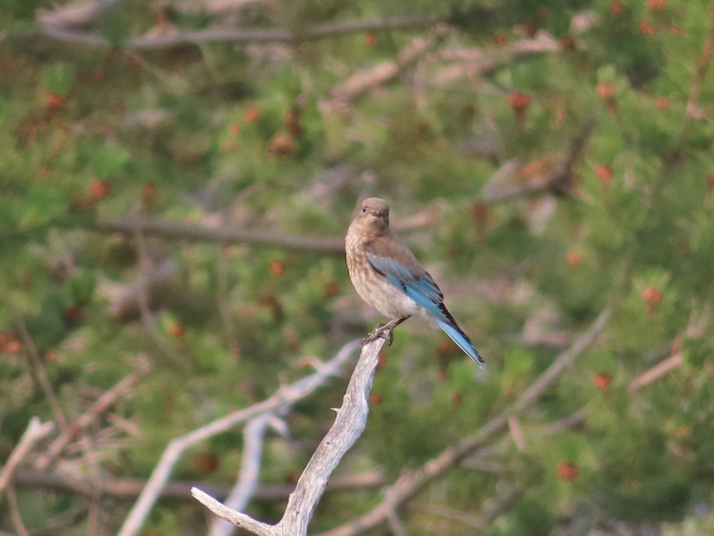 Mountain bluebird
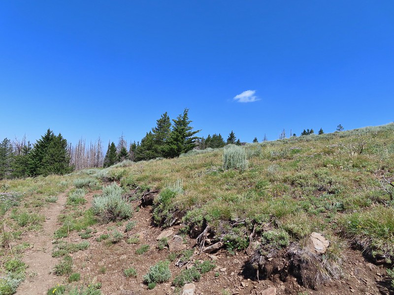
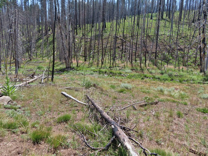
The old road bed wasn’t much more than a cattle trail now but we followed it for approximately 0.2 miles to what was shown on our GPS units as a sharp turn to the right. Sullivan indicated that there was a small cairn in this area marking the start of the route to Monument Rock. We didn’t notice any cairns but comparing the map on our GPS to the one in his guidebook led us to believe this was the correct spot so we followed an elk/cow path to the left but it was leading us too much to the east so we struck off cross country toward the flank of Monument Rock.

 Looking back toward Bullrun Rock.
The initial climb up was a little steeper than we’d expected which led us to believe we may have not been quite where Sullivan would have had us go up, but we managed to make it up to a broad ridge where we then headed uphill through sagebrush.
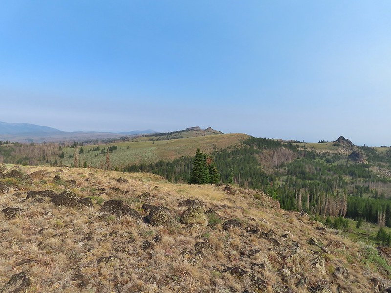 Table Rock from where we gained the ridge.
 Heading up.
Soon the large rock cairn atop Monument Rock was visible (the cairn was likely constructed by Basque shepherds or possibly gold miners long ago).

We made our way over to the andesite outcrop and climbed up to the cairn and took a break.
 Me making my way up to the cairn.
 Bullrun Rock from the cairn.
 Table Rock from the cairn.
 The Monument Rock Wilderness.
The haze had cleared up somewhat by this point giving us blue sky at least overhead as we began our hike back.
 The cairn on Monument Rock from below.
We decided to try a slightly different route back down hoping that we could follow the ridge further down and pick up what was showing on our GPS units as a trail below following South Bullrun Creek. Sullivan’s map showed the first part of the trail from the turn where we’d left the road bed extending 0.3 miles to a spring but the Garmins showed the trail then continuing south. Our thought was that if a trail had at one time been down there it was likely built on a less steep grade than the side we’d scrambled up.
 Heading downhill.
 Heather spotted this sheep moth.
When we came to what appeared to be an old jeep track or path of some sort we turned right (north) and followed it down a short but still steep hill.
 The path leading downhill.
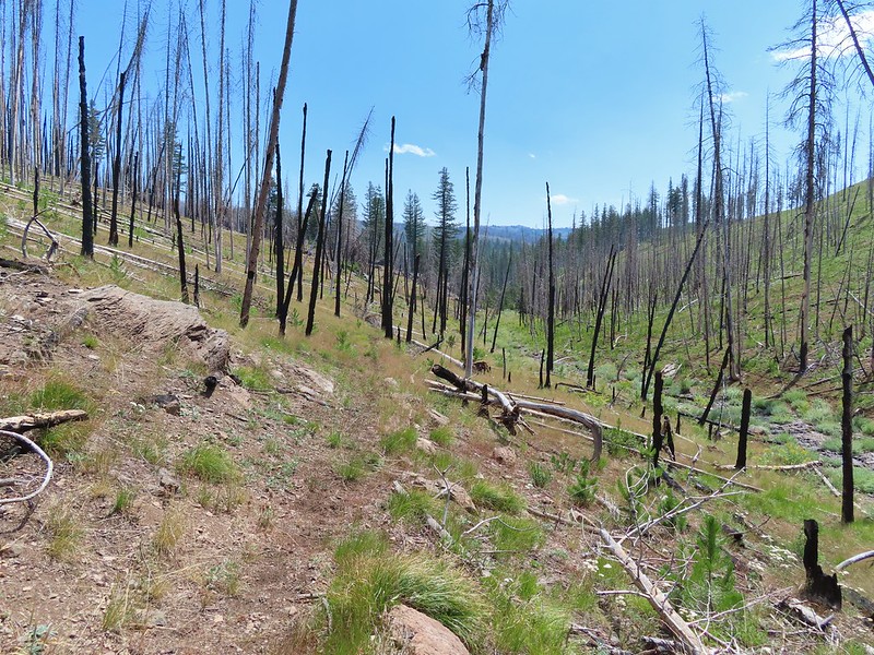
The trail that was shown on the GPS dropped over 150′ from where we were, presumably down to the spring, but that was about 120′ more than we needed to lose so when the hillside leveled out a bit we made a hard right turn and made our way back to the track we’d taken earlier. We arrived below the point where we’d scrambled up and then headed back to the old road bed. Once we rediscovered the road we followed it back past the post and to the trailhead.
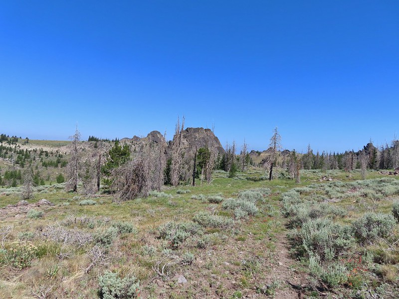
 Table Rock in the distance with Bullrun Rock on the right.


 Robin
Robin
 Quite a bit of a difference from the morning.
The hike here came in at an even 7 miles with just under 900′ of elevation gain.
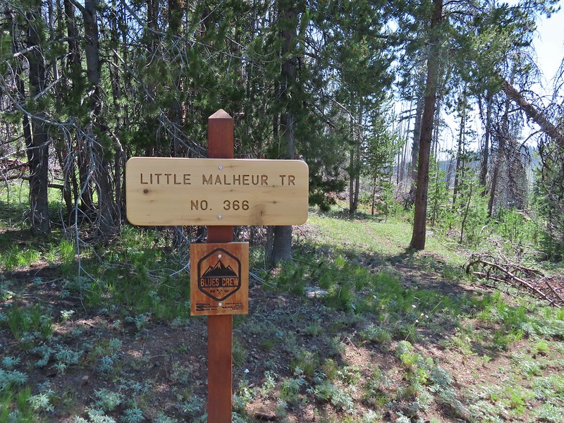
We had a little left in our legs after the Monument Rock hike so after navigating the rough 3.8 miles back to the Elk Flat Springs Campground we continued another 3/4 of a mile on Forest Road 1370 to the North Little Malheur Trailhead. The Little Malheur River had been one of Sullivan’s featured hikes in previous editions of his Eastern Oregon book but repeated fires and lack of maintenance have relegated it to a back of the book entry. We had decided to check it out to see what the trail condition was and to hopefully make it to the Little Malheur River which was approximately 2.2 miles from the trailhead.

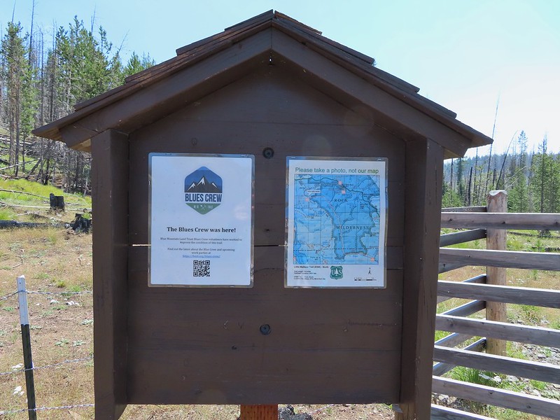
We were encouraged to find signs at the trailhead showing that the Blues Crew had done some work on the trail.
We were less excited that a cow crew was currently present.
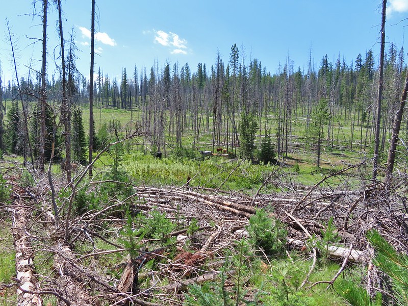

In true cow fashion instead of just letting us pass by above them on the trail they ran uphill onto the trail and the for the next couple of miles we occasionally caught up to them and they would run off along the trail again kicking up dust and leaving cow pie mines along the path but I digress. Getting back to the hike, the trail was faint but flagging and a few rock cairns assisted in keeping it found (along with the cows).

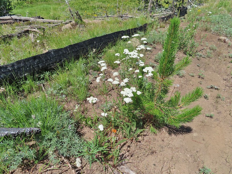 Yarrow and an orange agoseris.

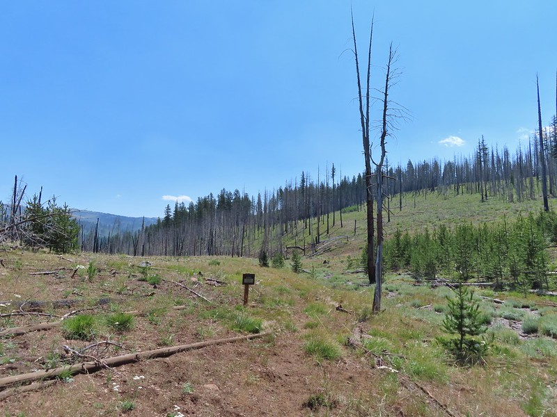 Wilderness sign marking the boundary of the Monument Rock Wilderness.
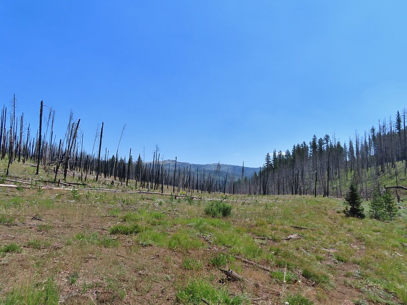 Table Rock from the trail.
 Elk Flat Creek.
 An orange flag to the right ahead.
 The trail following Elk Flat Creek.
 A few areas of green trees remained.

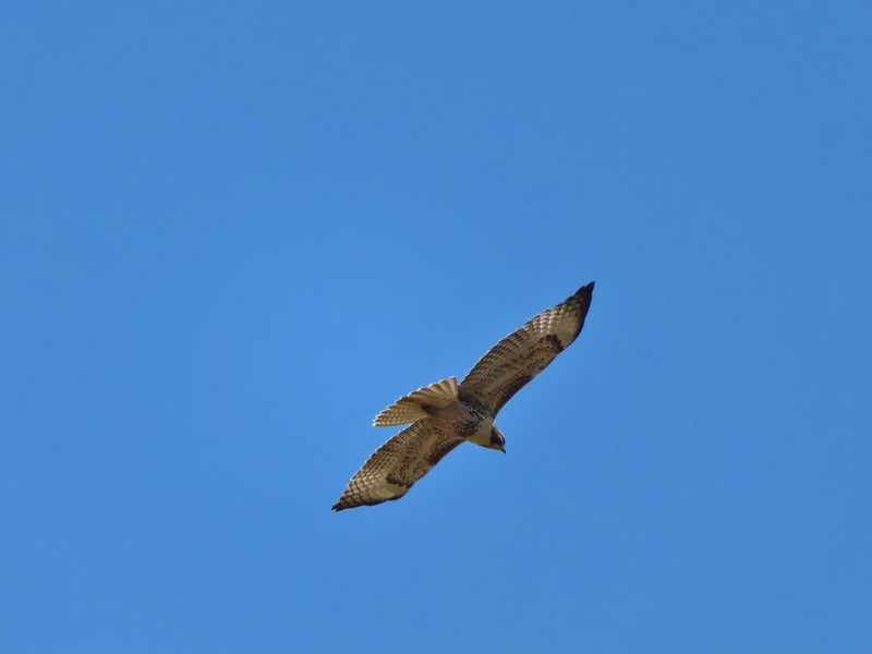
We were entertained by a large number of hawks in the area.


 Unnamed stream shortly before reaching the Little Malheur River.
 Monkshood along the stream.
 It appeared that quite a few trees survived along the Little Malheur.
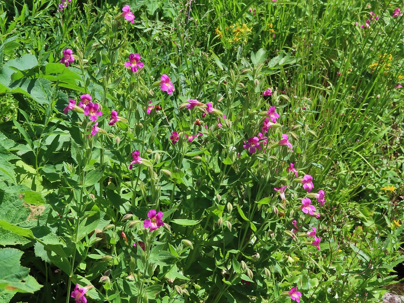
 The trail crossing the Little Malheur River. We were especially excited to see a lot of nice pink monkeyflower along the banks.
We reached the river which wasn’t much more than a creek here, but it was a pretty setting. Wildflowers and green vegetation hosted a number of butterflies.


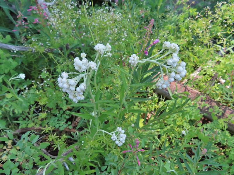 Pearly everlasting

After a nice relaxing break along the river we returned the way we’d come. In theory the trail extends another 5 miles to the south trailhead crossing the river 7 times along the way but we had gone far enough for today. It was nice not to be following the cattle on the way back.
 Ground squirrel
 Either a big ground squirrel or a small marmot.
 Another hawk.
 Fluffy clouds forming over the Monument Rock Wilderness.
Our hike here, which included just a bit of wandering, came in at 4.8 miles giving us 11.8 for the day.
It had been a good ending to our quest to visit all of Oregon’s designated wilderness areas and we celebrated with an early dinner at 1188 Brewing in John day before turning in early so that we could get up in the morning and head into the Strawberry Mountain Wilderness. Happy Trails!

4 replies on “Monument Rock and Little Malheur River – 07/21/2021”
The one time we were able to visit the Monument Rock Wilderness, the road from the Elk Campground to the trailhead was blocked by fallen trees (we were there before the road was cleared for the LO’s opening). Nine or so miles round-trip. We got to just touch the wilderness boundary but the LO was fun to visit.
We debated on trudging up to the lookout but our legs didn’t seem too interested at that point. 😀
[…] Monument Rock Wilderness in July. (post) […]
[…] #32 Monument Rock – Hiked 7/21/2021 […]