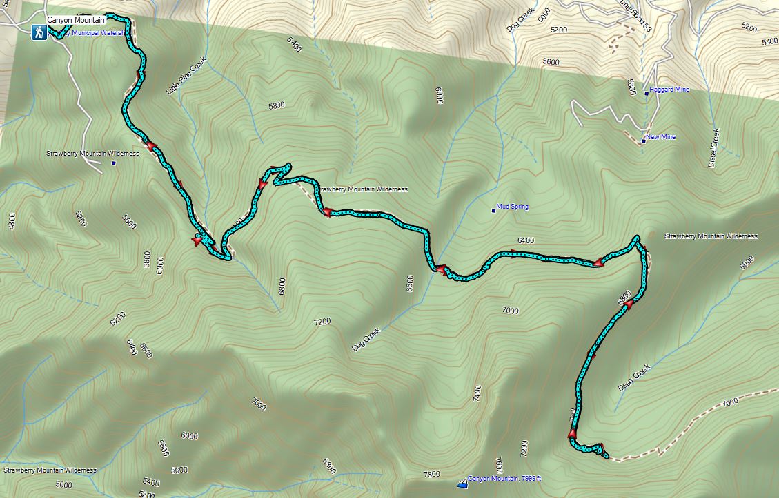
For our fourth day of vacation we had planned another of Sullivan’s featured hikes, this time the Canyon Mountain Trail in the Strawberry Mountain Wilderness. Sullivan suggests two possible turn around points, for a moderate 6.6 mile hike Dog Creek and a more difficult 11.8 mile hike Dean Creek. We had originally planned on the more difficult option but were having second thoughts after reading the Forest Service information for the the Canyon Mountain Trailhead which noted that the final couple of miles of road were not maintained by the Forest Service and they recommend 4×4 vehicles only during dry months of the year. Sullivan simply described the road as “very steep and bumpy at times!”. We had prepared ourselves to have to park at one of the many dirt (OHV) spurs before reaching the trailhead thus adding a few miles to our hike in which case Dog Creek might need to be our turnaround. The road was indeed steep and bumpy but our Rav4 managed to make it 2.2 miles to a saddle where the road worsened even further. We decided to park along a spur road at the saddle and walk the final 1/4 mile of road to the trailhead.
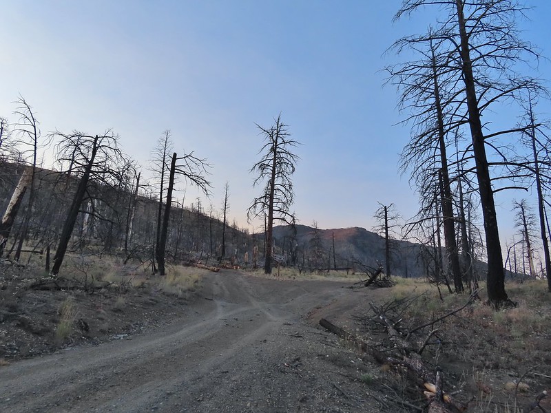 I had started up to the left at the saddle but it was steep with gullies and some debris so we carefully turned around and parked below.
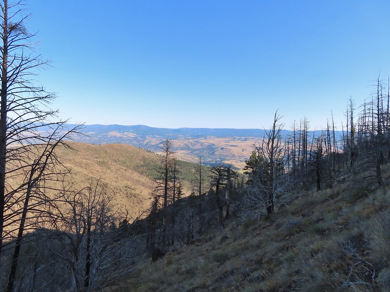
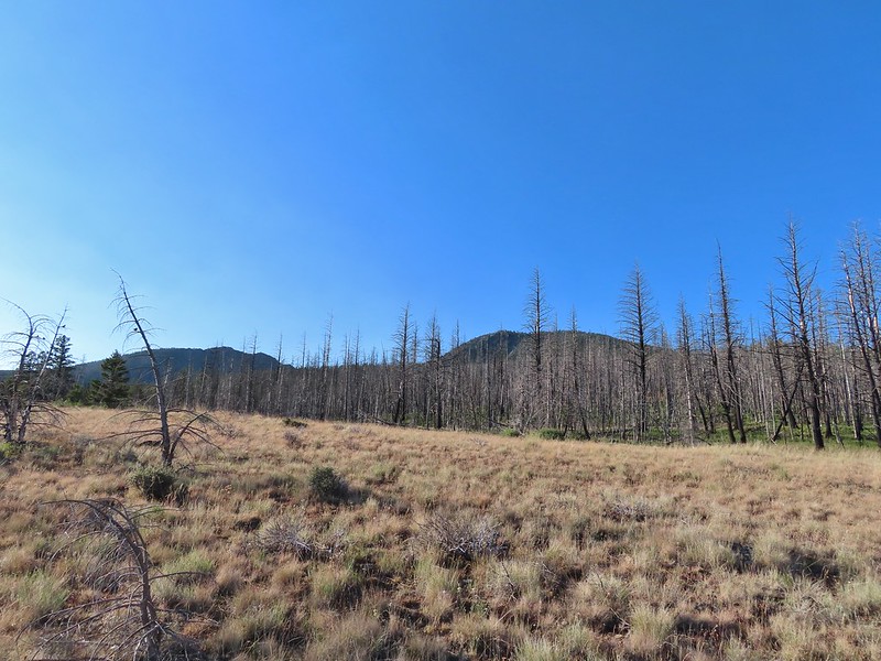
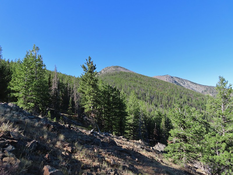
 Little Canyon Mountain from the saddle. A wildfire burned the area in 2015 and the trail up to Dog Creek.
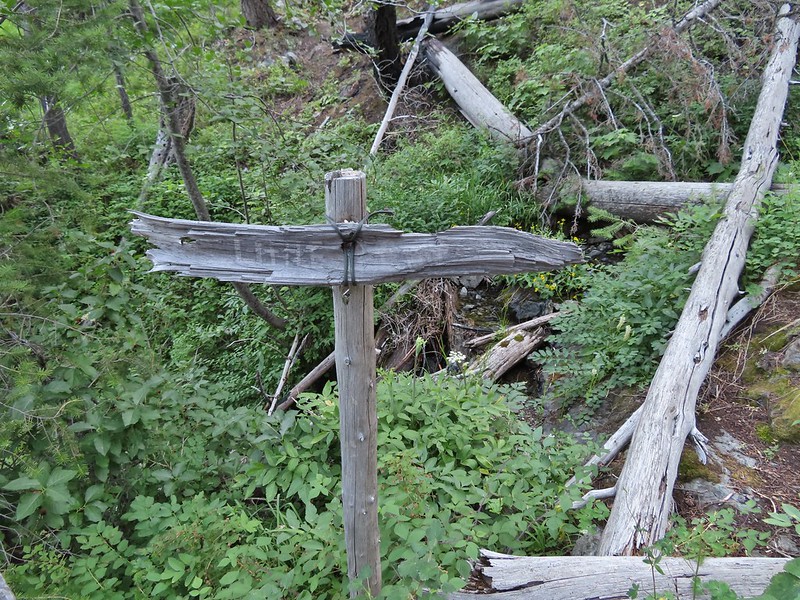
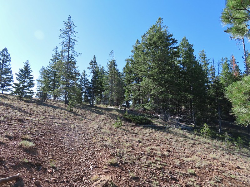
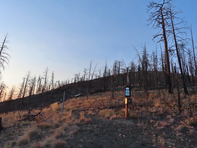 The actual trailhead.
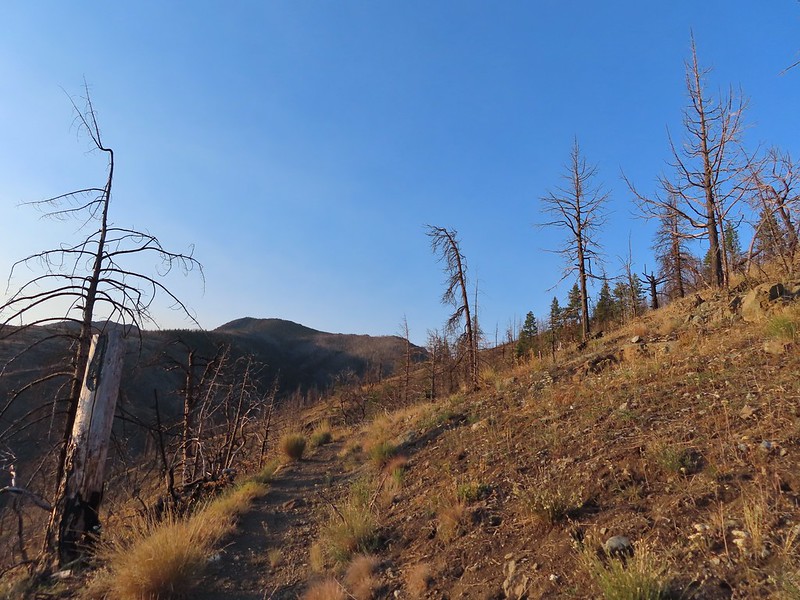
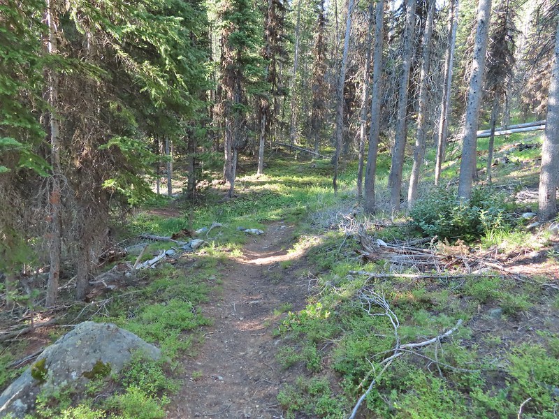
A short distance up the trail we entered the Strawberry Mountain Wilderness.

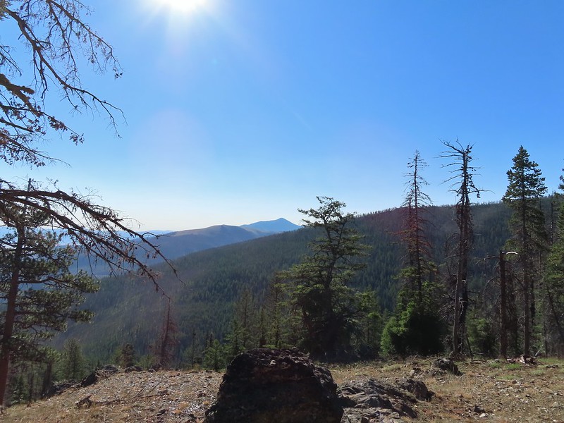
The Canyon Mountain Trail doesn’t climb Canyon Mountain but rather traverses the hillsides below its namesake. There were however views of said mountain as we came around the first ridge end of the hike.
This was the least hazy morning of our trip so far but we were heading toward the rising Sun so visibility still wasn’t all that great.
 Little Pine Creek flowed down this valley below Canyon Mountain.
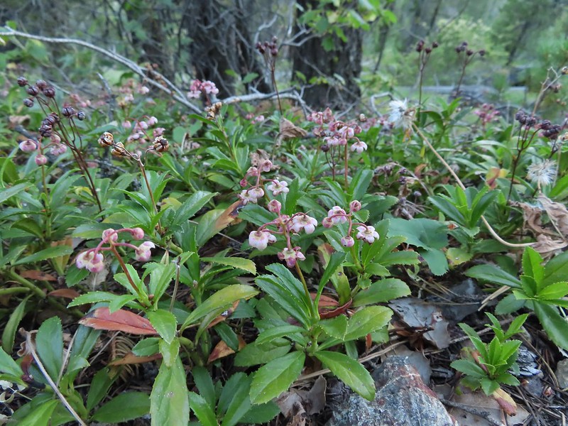
It looked like the wildflower display was probably pretty good earlier in the year but most of them were past now. We did see a fair number of late bloomers though.
 Yarrow along the trail.
 Fireweed
 Paintbrush
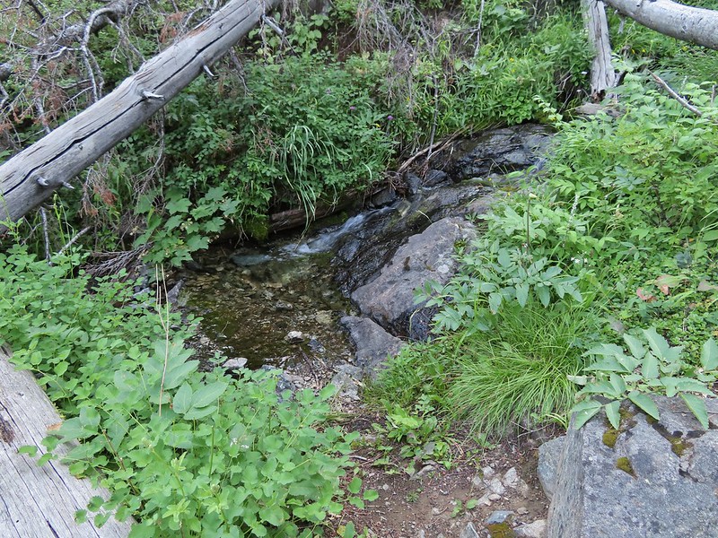
Approximately 1.5 miles from the trailhead we arrived at Little Pine Creek at a switchback.
A tenth of a mile beyond the switchback (and after switching back once more) we crossed Little Pine Creek but not before stopping to sample some raspberries.
 Paintbrush and pearly everlasting
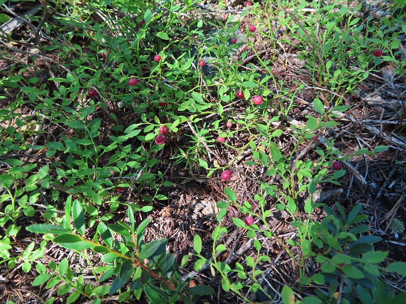
 Raspberries
 We don’t recall seeing a penstemon with leaves like this before.
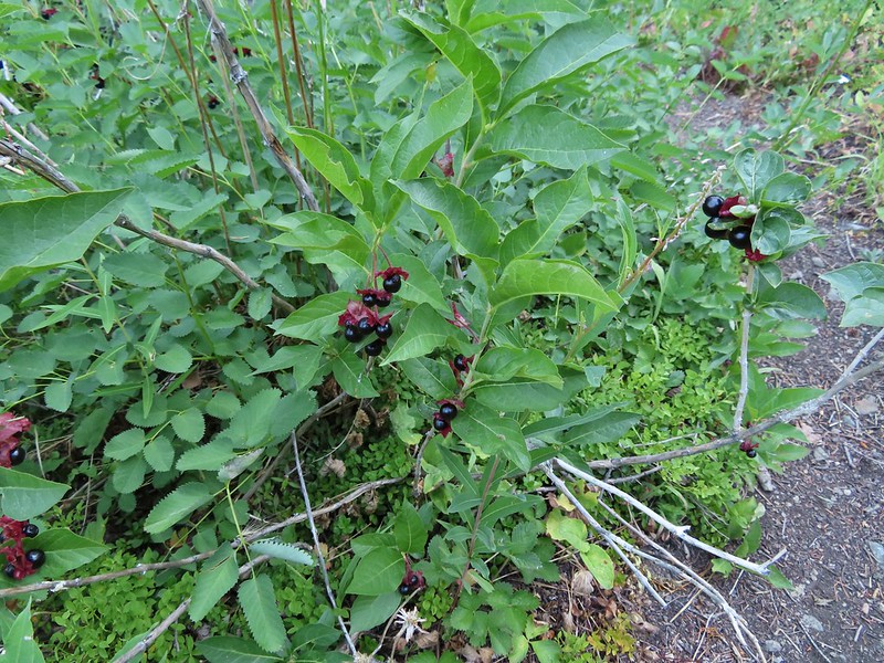 Twinberry (we did NOT sample)
 Sitka burnett (white)
 Little Pine Creek at the crossing.
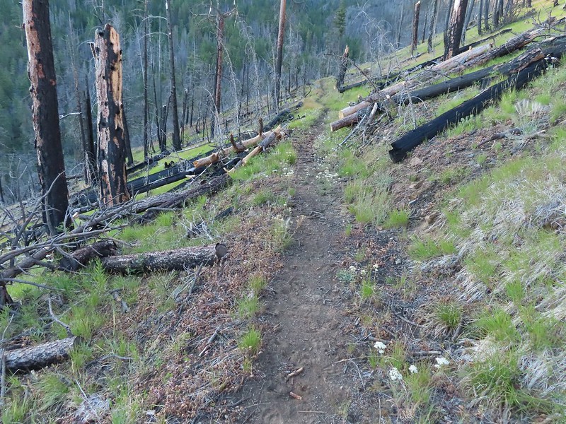
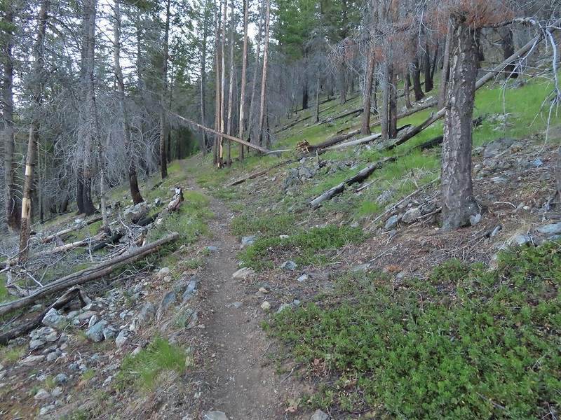
The trail then gradually climbed through the forest to a viewpoint at a ridge end in what was now a dry meadow dotted with sagebrush mariposa lilies.
 Prince’s pine
 Mountain death camas
 Fringed grass of parnassus
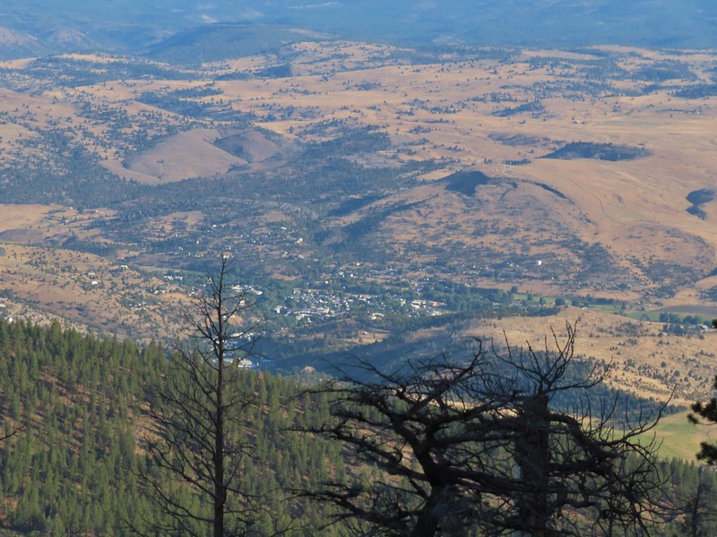 John Day below.
 Little Canyon Mountain behind the ridge we’d come around earlier.
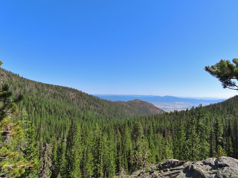
 The Aldrich Mountains to the west, our destination for the next day’s hike.
 Canyon Mountain
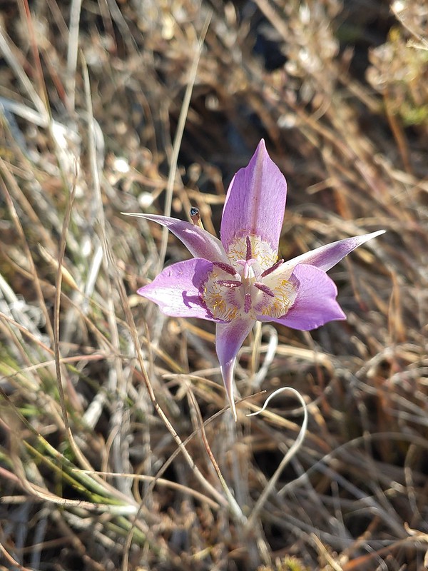 One of the sagebrush mariposa lilies.
 Dixie Butte and the Greenhorn Mountains to the NE
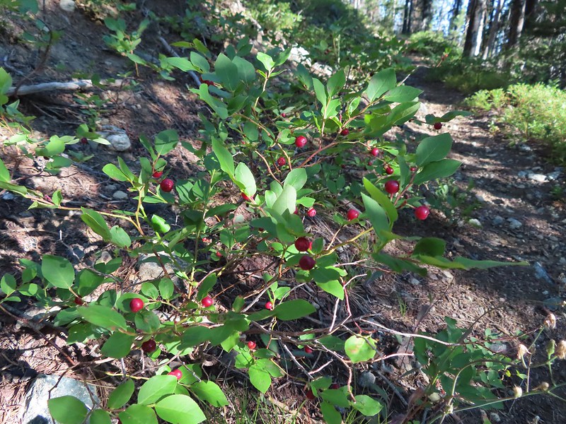
After wrapping around the ridge the trail reentered the forest once again and descend gradually to Dog Creek, 1.7 miles from the Little Pine Creek crossing. Berries were the highlight at Dog Creek with three different types of ripe blue/huckleberries to pick from.

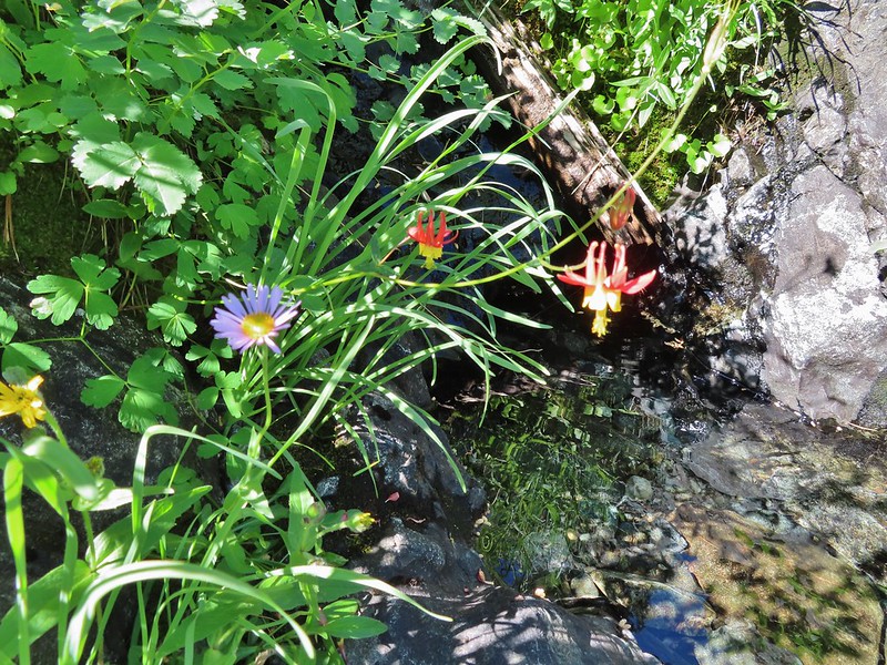
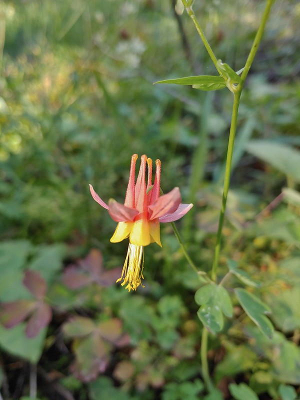 Columbine
 Swamp onion

 Flowers at Dog Creek
 Twinflower
Since we’d manage to drive almost to the trailhead we decide to continue on to Dean Creek which was another 2.2 miles away. The distance was mostly due to having to swing out and around the rocky ridge separating the two creek drainage’s.
 There was a lot of elk sign along this section of the trail.
 A lot of sign.
 Looking back toward Canyon Mountain.
 The trail crossed over the ridge in a saddle with quite a bit of mountain coyote mint.
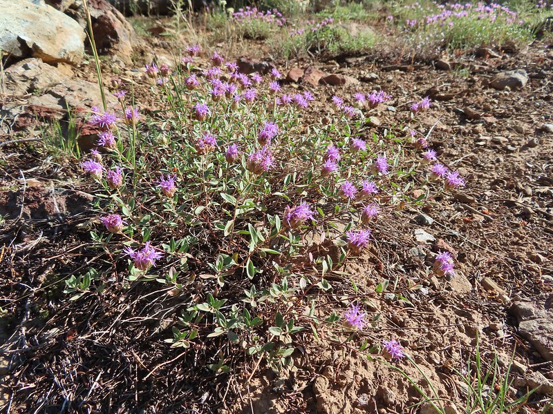 Mountain coyote mint
 Strawberry Mountain (post) from the saddle.
 Heading toward Dean Creek now.
 Green Mountain on the left and Canyon Mountain on the right.
 A smaller raptor, it wouldn’t look at us so I’m not sure what type it was.
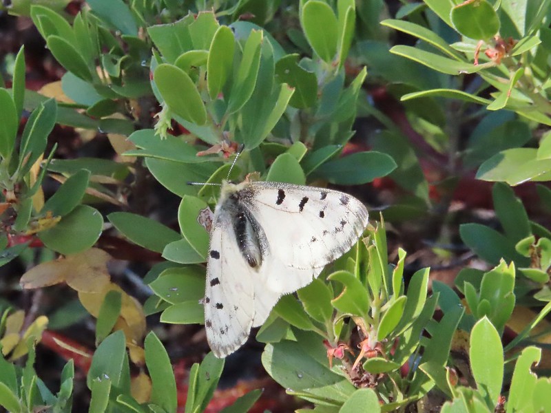
 Butterflies on western snakeroot. Side note we didn’t see a single snake or lizard all week which was really surprising to us.
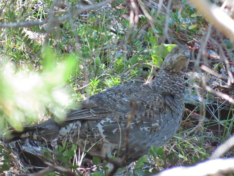 We did however see quite a few grouse.
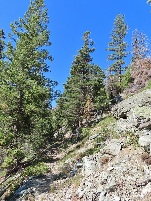
 The trail got a little brushy nearing Dean Creek.
 There wasn’t much water in Dean Creek but there was enough for a small cascade.
 Wildflowers next to a small pool.
 Dean Creek
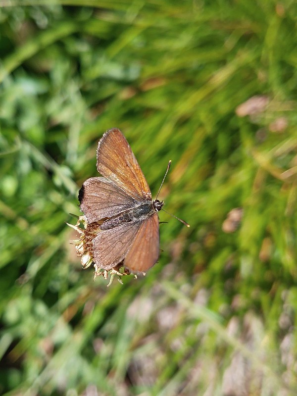
 Butterfly near the pool.
We sat in a nearby campsite to soak in the views as we took a short break.
 Canyon Mountain
 Dixie Butte with the Greenhorns on the left and the Elkhorns (post) on the right.
After our break we returned the way we’d come, watching as always for wildlife and any flowers we’d missed on our fist pass (also ripe berries).
 Cones
Cones
 Lousewort
 Pearly everlasting, yellow flowers, and fireweed.
 An eagle?
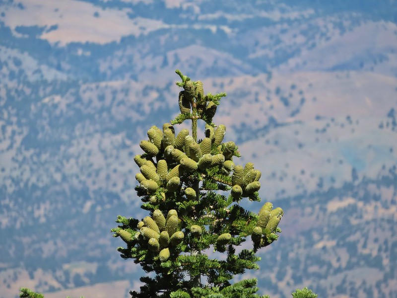 More cones
 Dragon fly
 A sulphur butterfly
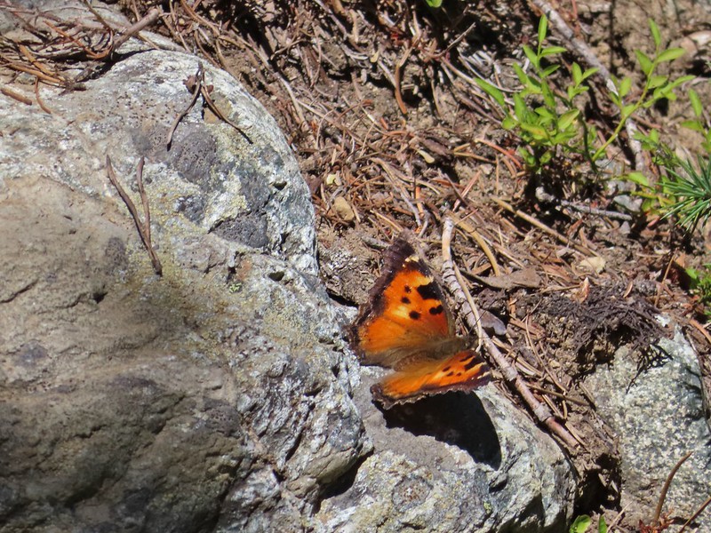 California tortoiseshell
 Grouse
 Maiden fly
 Skipper
 Woodpecker
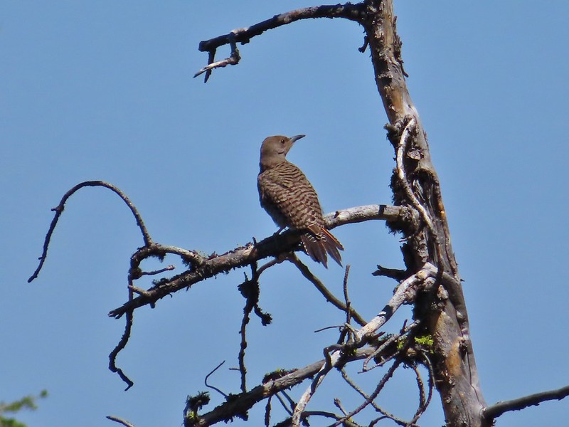 Northern flicker
 Mountain bluebird
We put the car in low and drove back down the steep road until we made it to pavement then returned to John Day for one final night. This was probably our favorite hike of the trip because it felt the most like being in the mountains even though we were at higher elevations on Spanish Peak, in the Monument Rock Wilderness and the next day in the Aldrich Mountains. With the little extra road walk we came in at 12.3 miles and about 1850′ of elevation gain. Happy Trails!
Flickr: Canyon Mountain Trail

2 replies on “Canyon Mountain Trail – 07/22/2021”
[…] Strawberry Mountains with Strawberry Mountain (post) on the left and Canyon Mountain (post) on the […]
[…] #31 Canyon Mountain – Hiked 7/22/2021 […]