
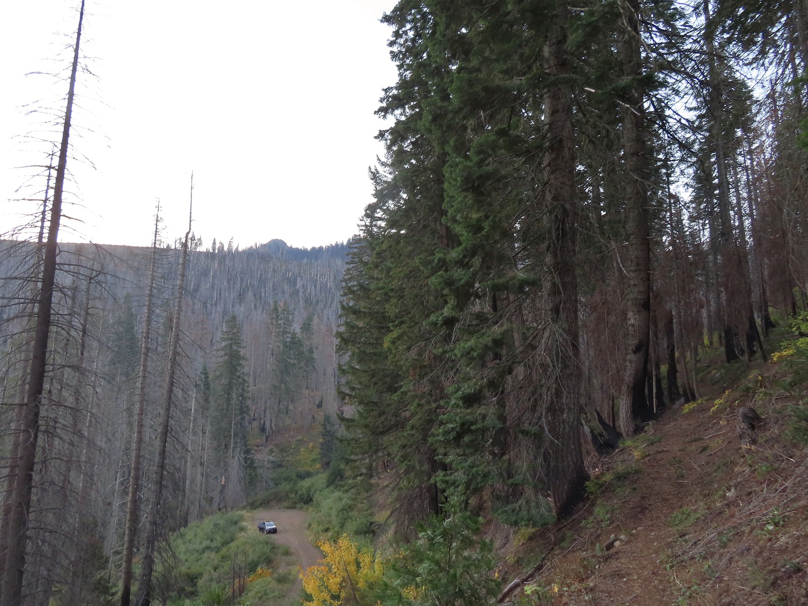
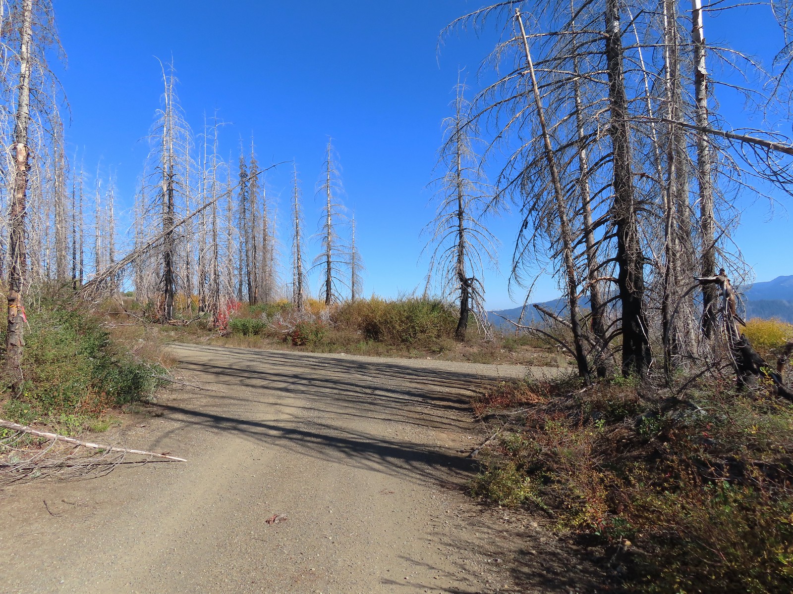
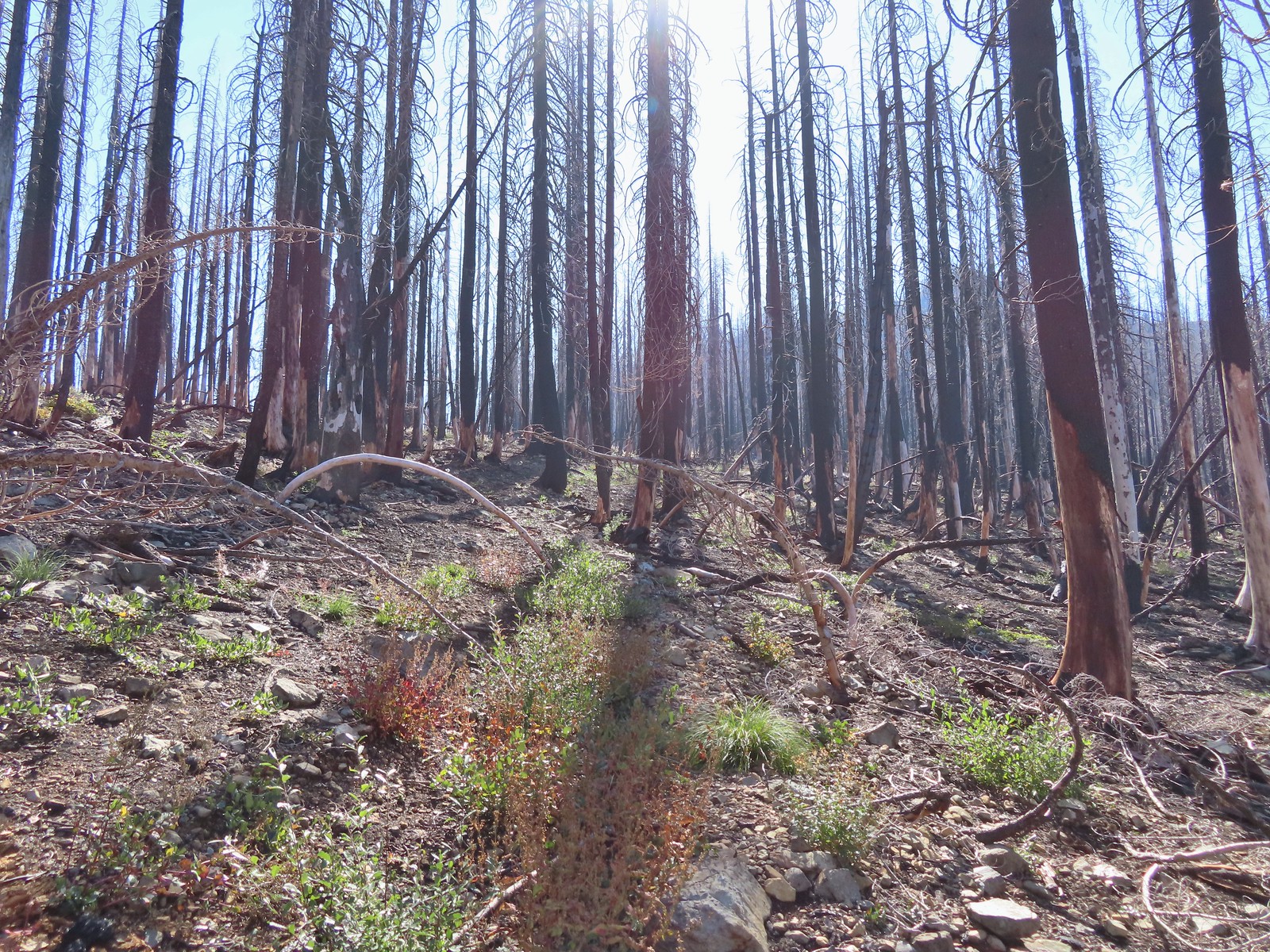
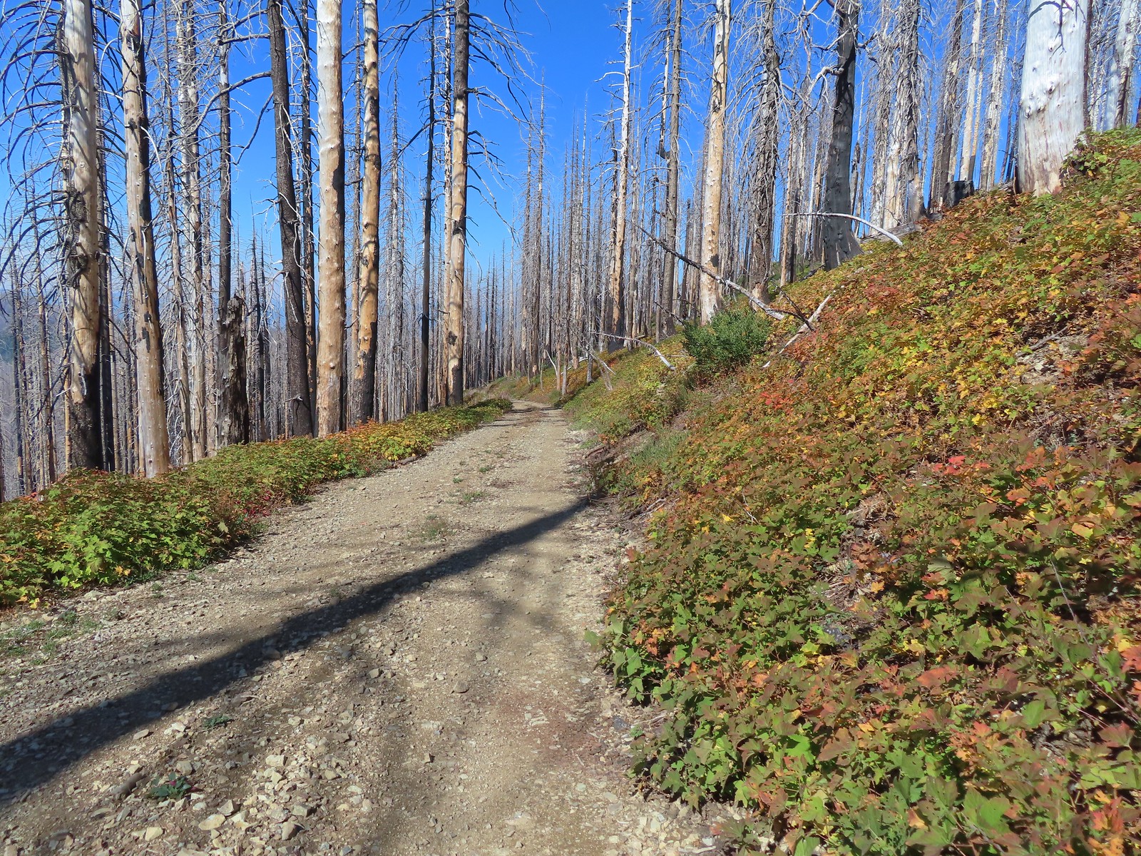
After checking off two of Sullivan’s featured hikes on Saturday (post) we had another pair lined up for Sunday. Another day of clear skies and low 60-degree temperatures lay ahead as we drove from Grants Pass to our first stop at the Tanner Lakes Trailhead (note the Forest Service refers to this and the lakes as “Tannen” but Tanner is the official name used by the U.S. Board on Geographic Names (the Board corrected the error in 2002 which had erroneously changed the names from Tanner to Tannen). The area here burned, like so many others in Oregon, in September 2020. For a look at the area before the Slater Fire here is a report by Just Peachy from July 2020.
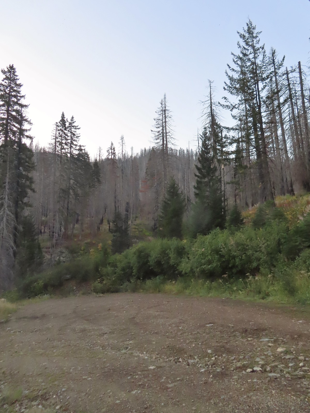 There is a large turnaround/parking area at the end of Forest Road 041 which serves as the trailhead. The final 500 meters of the road are rough so high clearance vehicles are recommended.
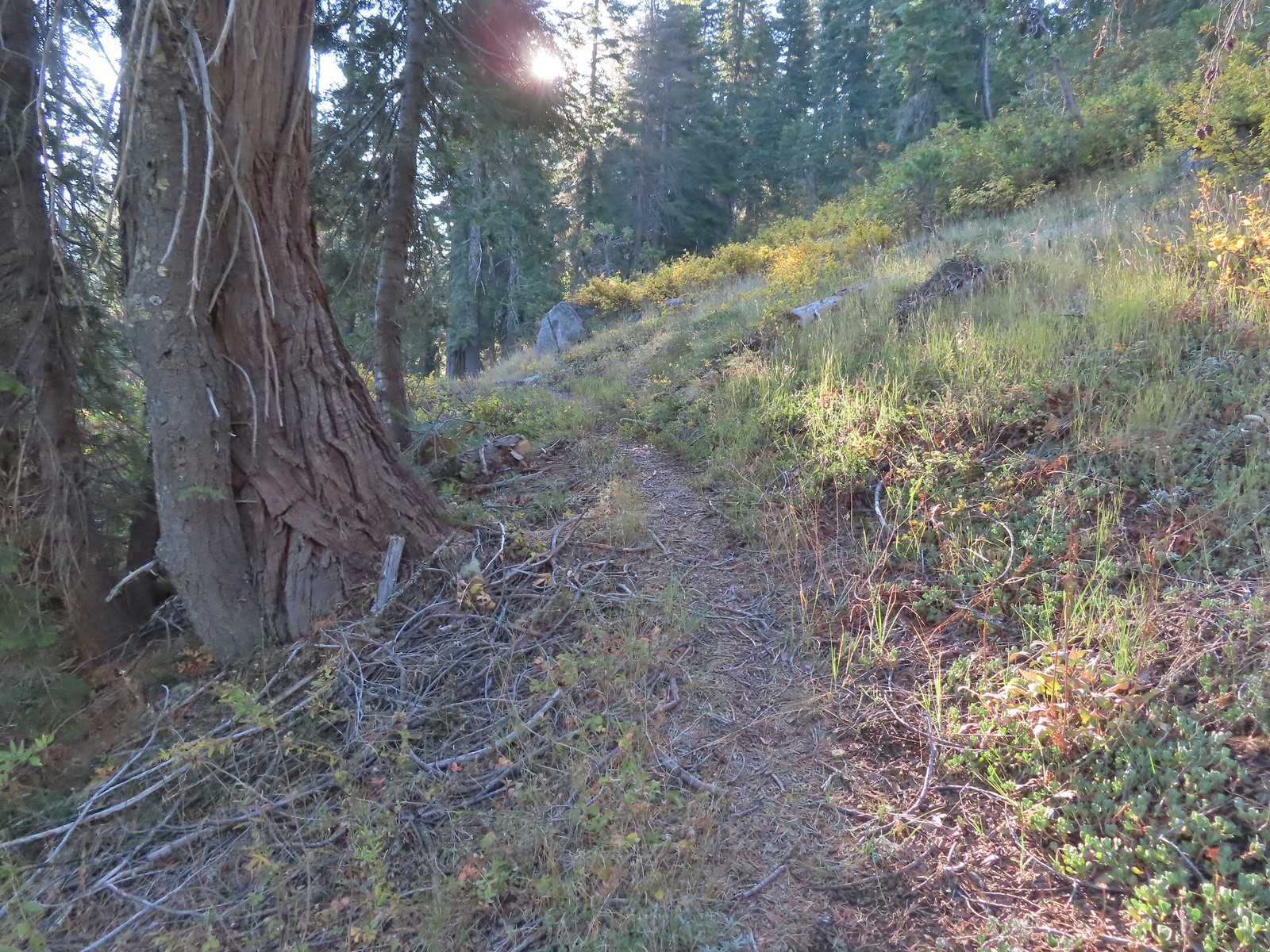
 A pink flag marked the start of the trail just up the road from the turnaround.
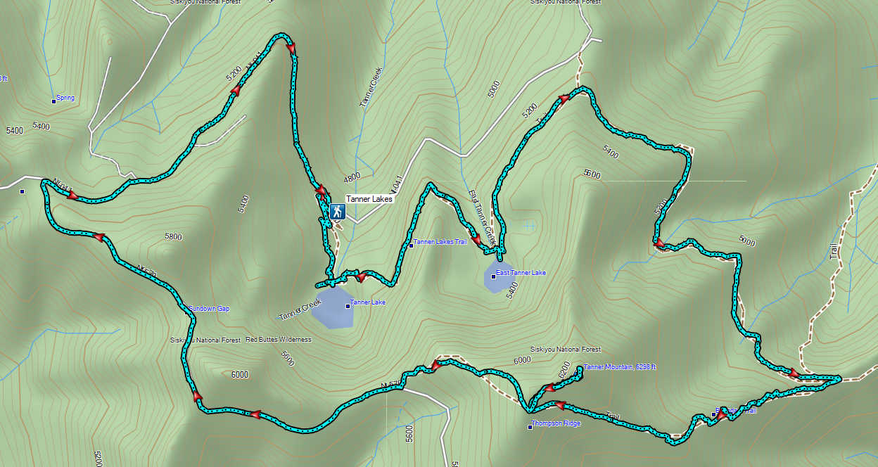
Heather still wasn’t feeling well so she decided that she would just do the 2.6-mile out-and-back to the Tanner Lakes which was the shorter of two options Sullivan listed for this featured hike. The longer option was either a 9.2-mile out-and-back to the summit of Tanner Mountain, or a slightly shorter loop ending with a 2.8-mile road walk. I was going to give the loop a go, but I was unsure of the trail conditions beyond the lake, so I was prepared to turn back at any point. It was just 0.4-miles from the trailhead to Tanner Lake where the Fall colors were reflecting nicely in the water.
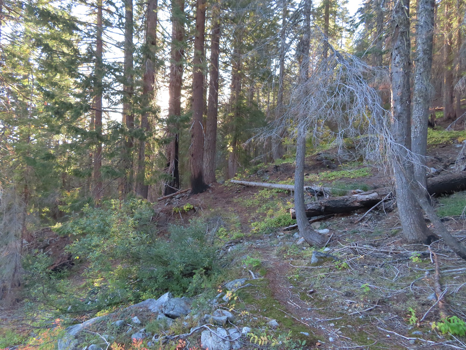
 The trailhead from the Tanner Lakes Trail.
 A few trees survived the fire around the lakes.
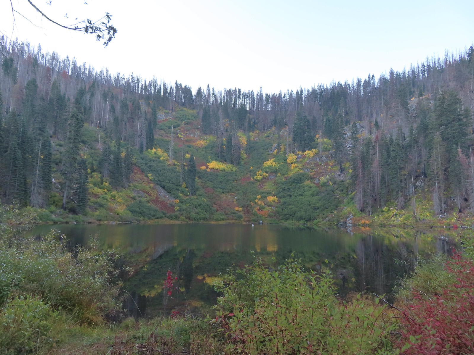 Tanner Lake in the morning.

The trail crossed Tanner Creek and climbed gradually over a ridge to East Tanner Lake just under a mile from the larger lake.

 Penstemon
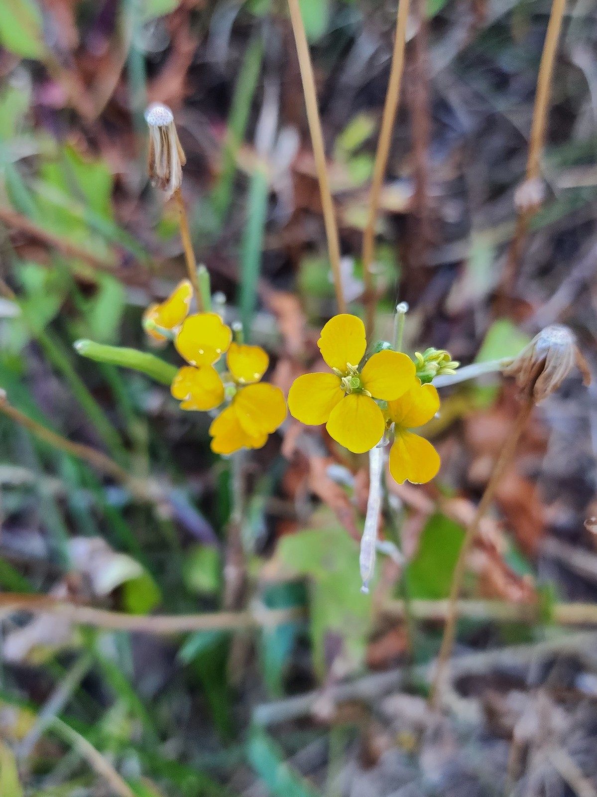 Wallflower

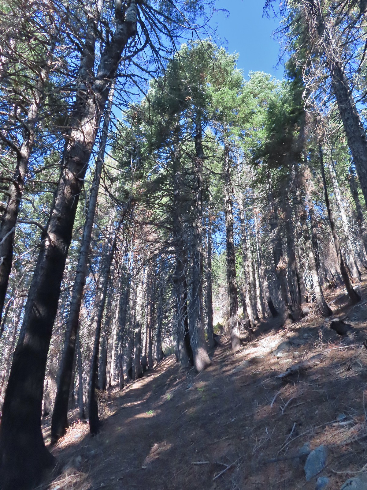
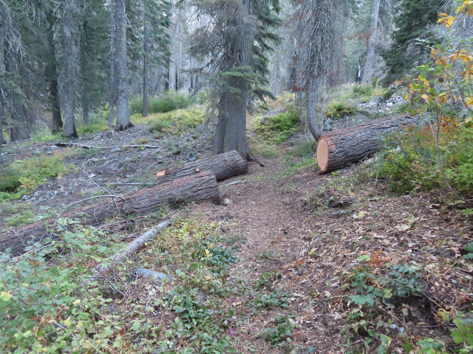 Recent trail maintenance.
 East Tanner Lake
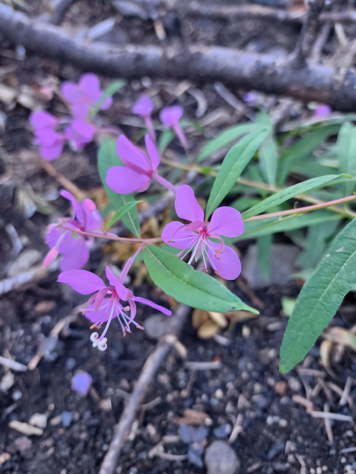 Fireweed
One of the world’s largest incense cedars, Titan, is located to the West of East Tanner Lake but I failed to look for it to see if it survived the fire. Instead I continued on the Tanner Lake Trail climbing gradually for 0.6-miles to a former junction with a tie trail that has not been maintained since the fire.

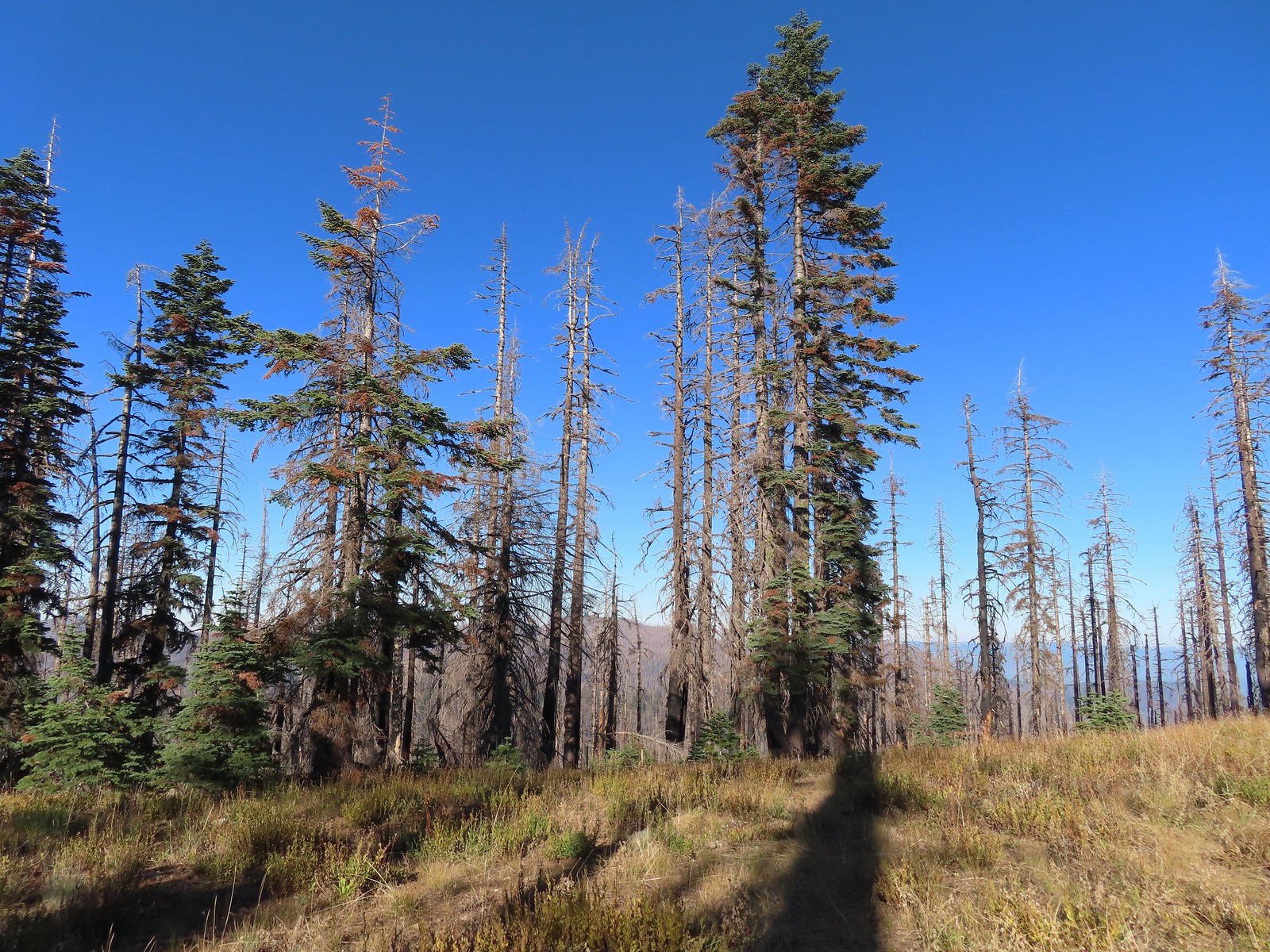
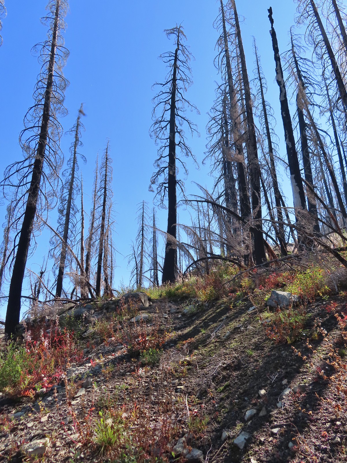
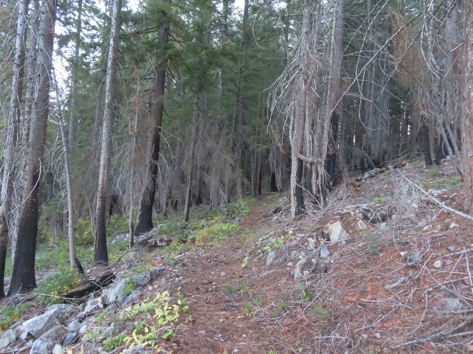 The eastern side of the ridge fared better in the fire than the forest closer to the lakes.
 Signs at the junction with the tie trail.
 The tie trail used to be here.
I continued on the Tanner Lake Trail which gently contoured around the hillside for 1.5-miles to a junction with the Fehley Gulch Trail.


 Second breakfast
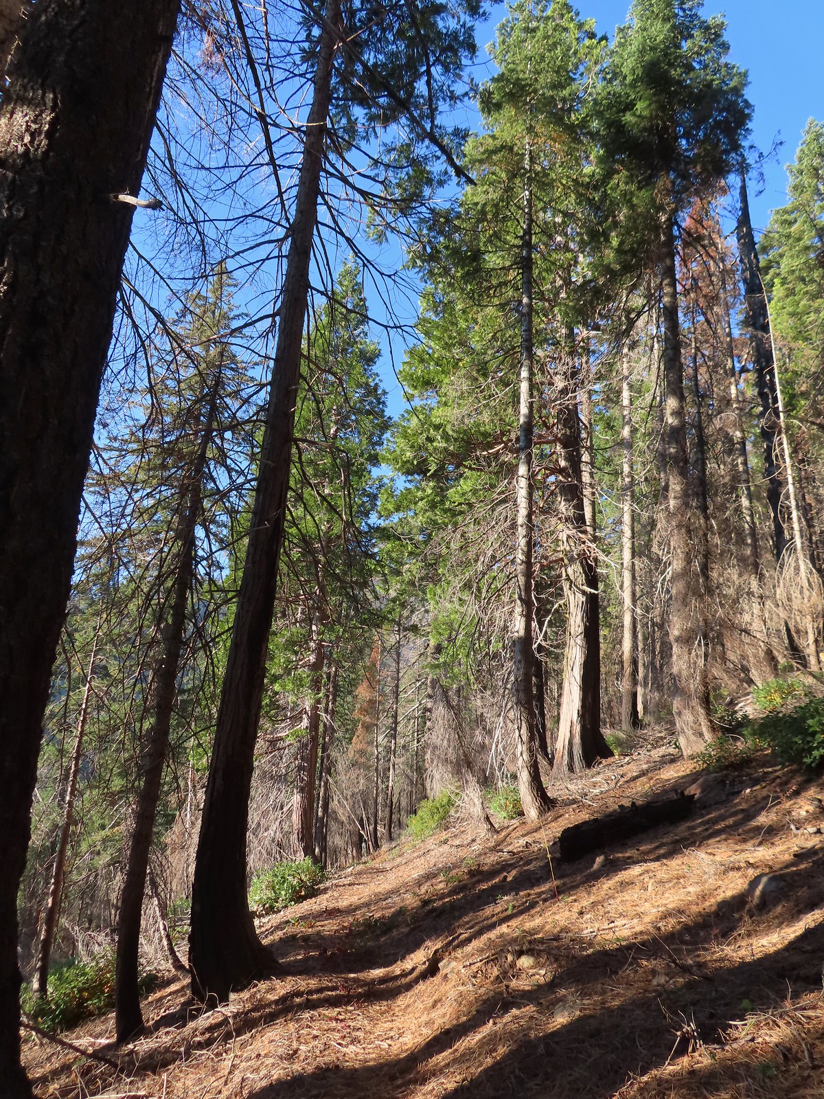
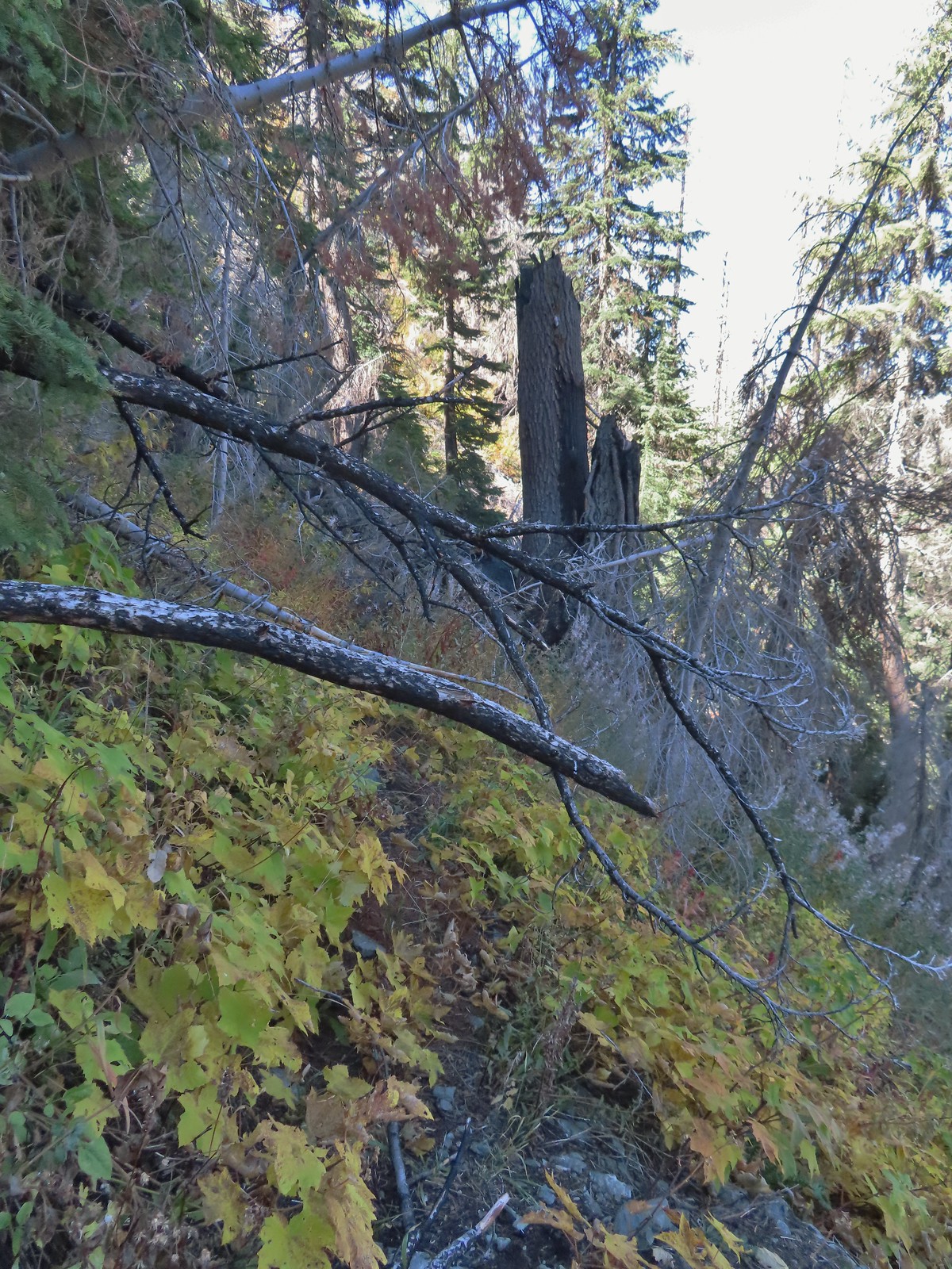
 The trail briefly left the fire scar altogether near the Fehley Gulch junction.
 Looking back down at the Fehley Gulch Trail as it joins the Tanner Lake Trail.
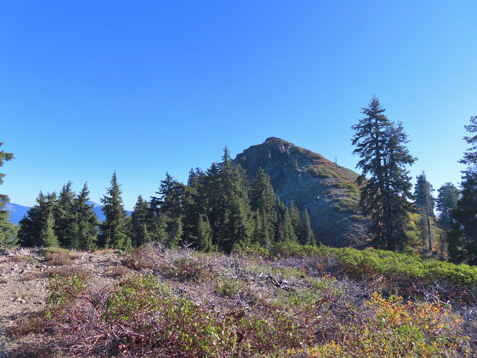
 Tanner Mountain from the trail near the junction.
A very short distance later I arrived at the Boundary Trail where I turned right.
 Sign at the Boundary Trail junction.
I was now back in the fire scar and about to begin a steep 1100′ climb over the next mile to a ridge below Tanner Mountain.

 Dark-eyed junco

 Tanner Mountain again.
 Scarlet gilia

 One of two checker-mallow blossoms I spotted. The other was much nicer looking but it was downhill and I was too lazy to go down to get a good photo.
 This trail was really steep at times.
 Almost to the ridge.
 The trail became pretty faint on the ridge.
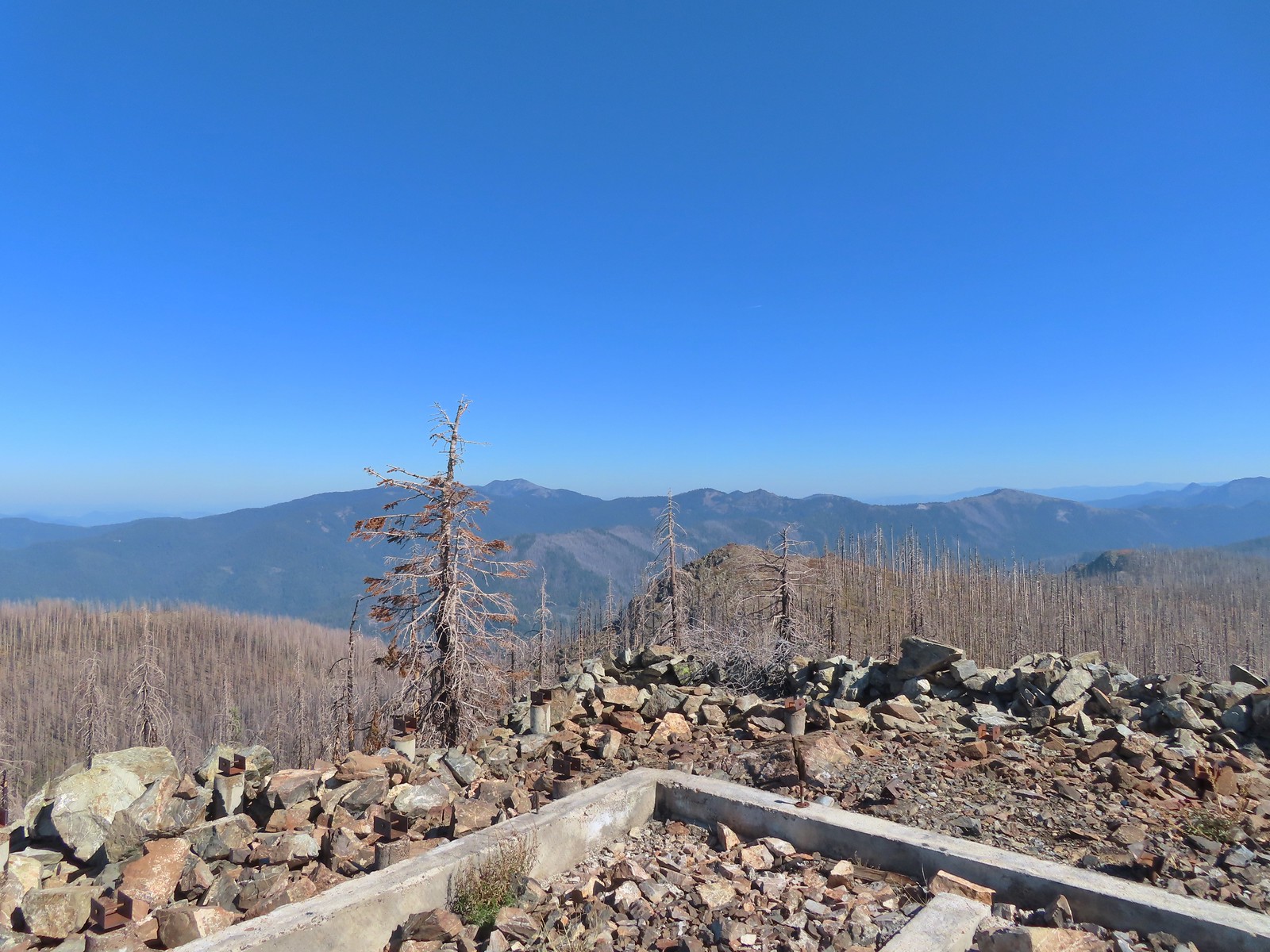
Once I’d gained the ridge I set off cross-country toward Tanner Mountain eventually picking up a use trail which led to the 6305′ summit.
 More steep climbing.
 Looking back down over the use trail.
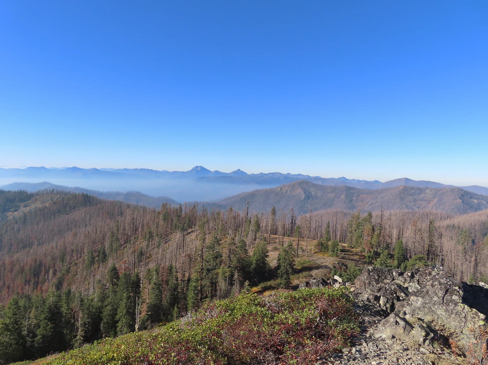
 From right to left – Grayback Mountain, Lake Mountain, and Mount Elijah (with lots of other peaks).
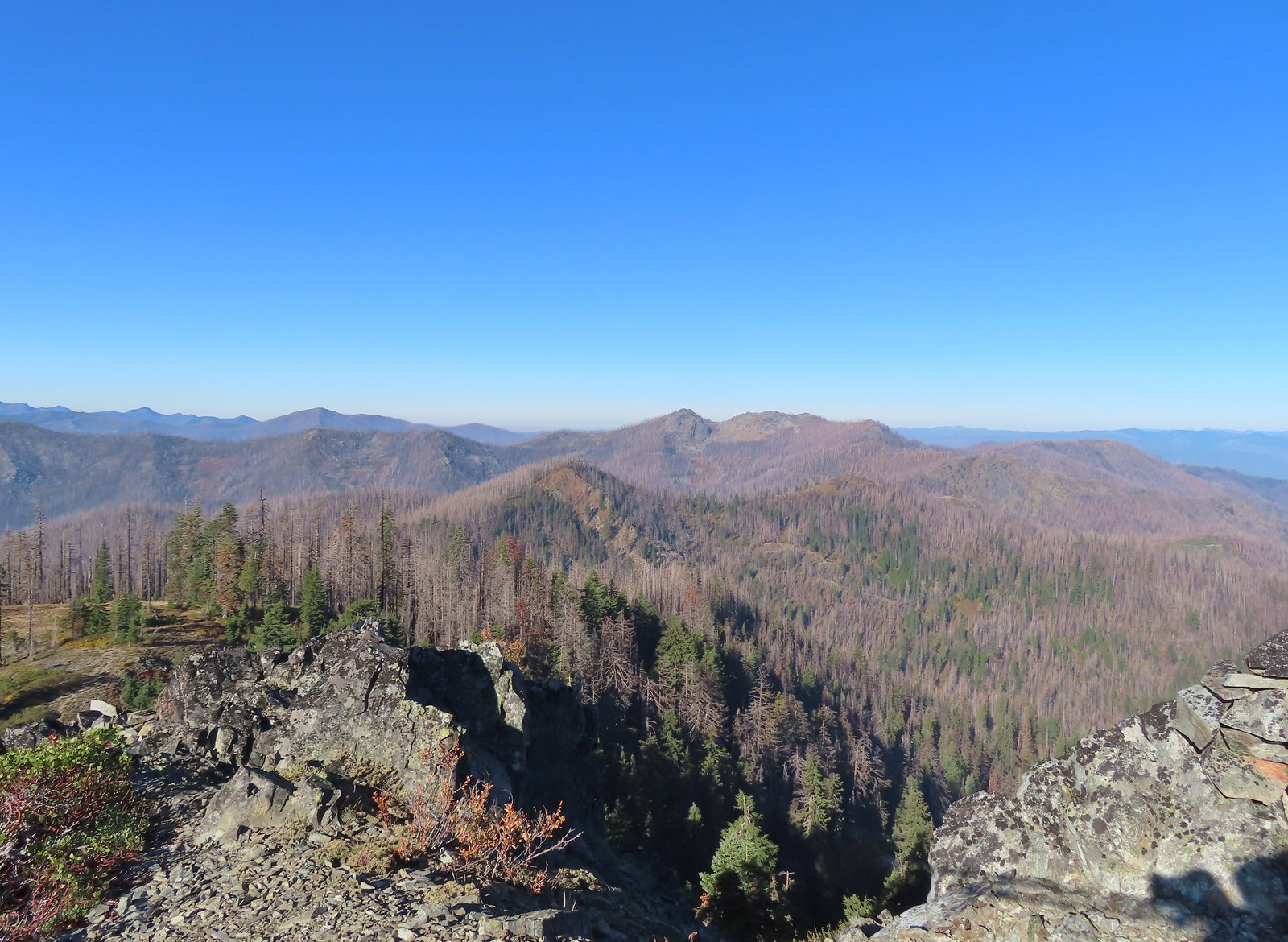
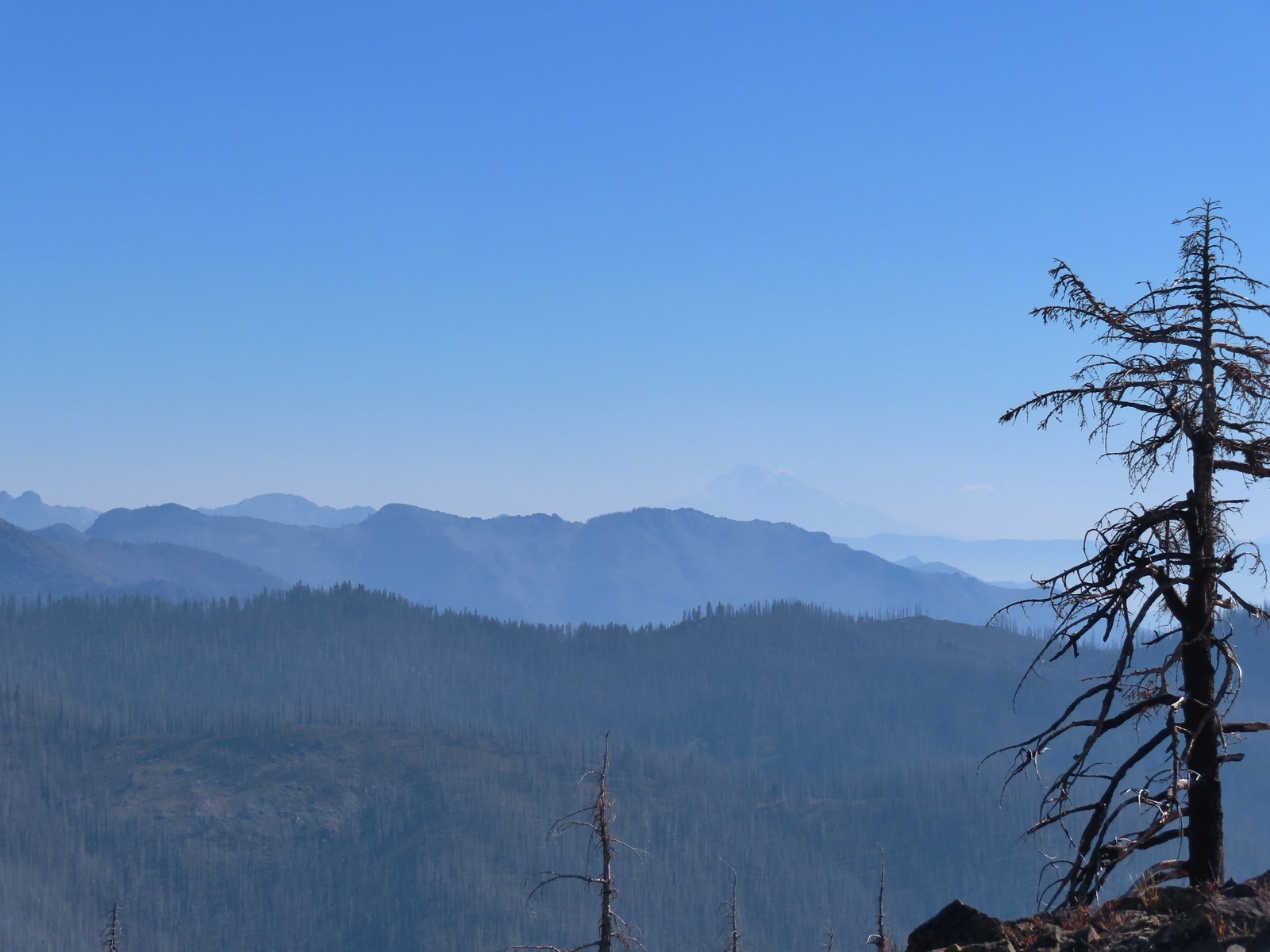
 The double humps of Red Buttes behind and left of Pyramid Peak with the outline of Mt. Shasta to the right of Pyramid Peak.

 Preston Peak and El Capitan in the Siskiyou Wilderness (post).
 Preston Peak and El Capitan
 Bolan Mountain, our other stop for the day.
 Bolan Mountain
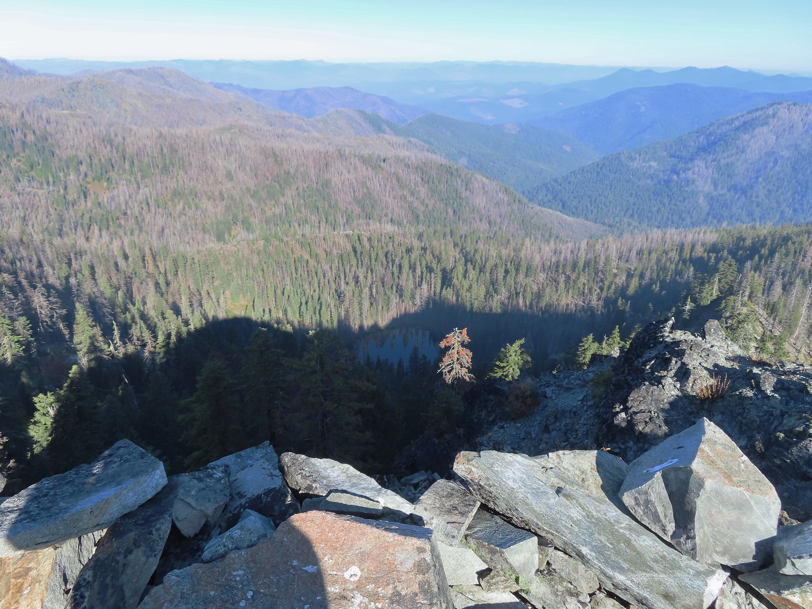 East Tanner Lake in the shadow of Tanner Mountain.
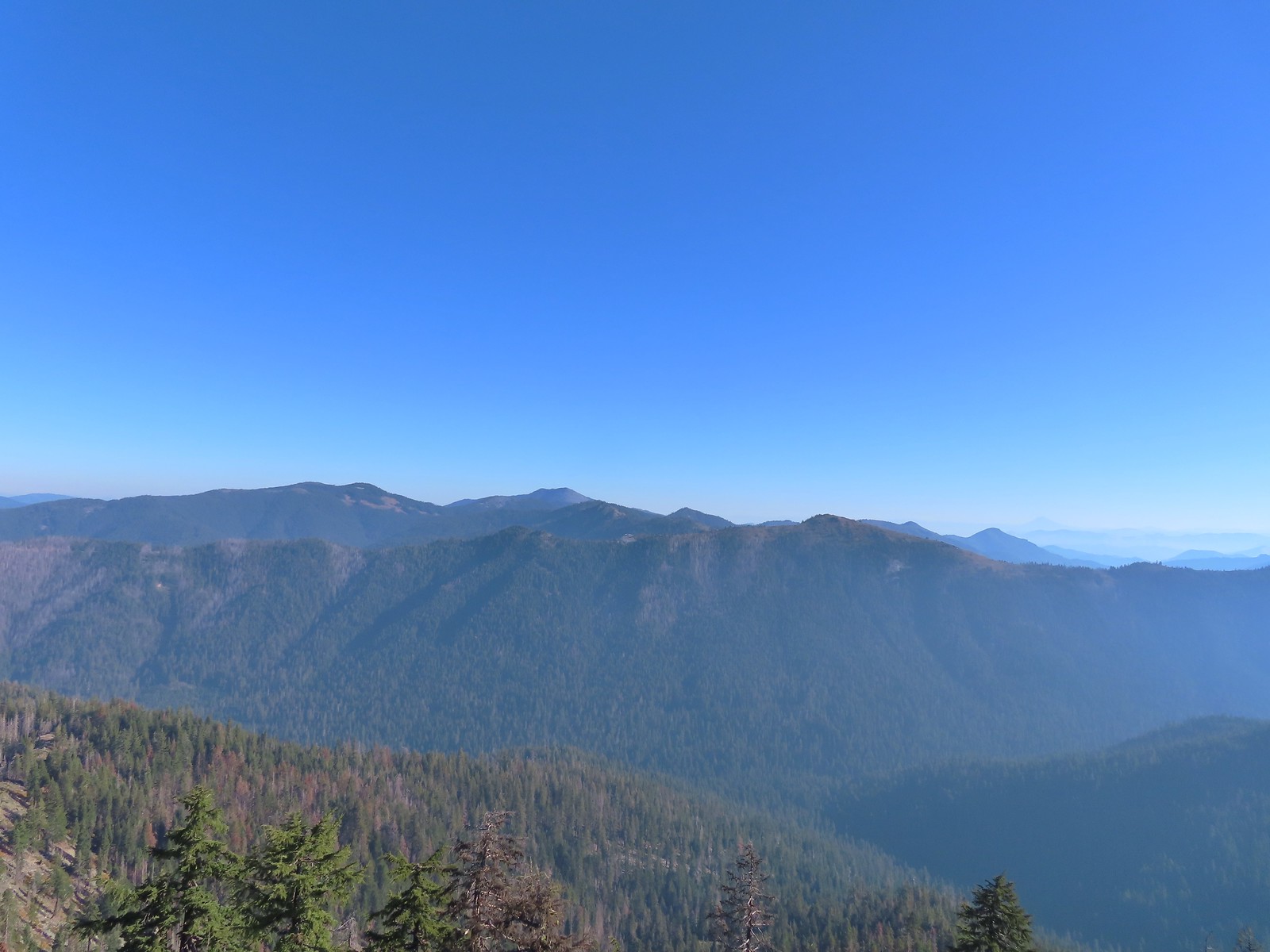 A faint Mt. McLoughlin (post) in the distance on the right.
After a brief rest to enjoy the view I headed down to Thompson Ridge and located the Boundary Trail in the vegetation, after initially crossing right over it without noticing, and followed it downhill a half mile to Road 570.
 The Boundary Trail dropping off Thompson Ridge.
 Ferns along the Boundary Trail.
 More signs of recent maintenance.
 Old campsite near Road 570 and the boundary of the Red Buttes Wilderness.
 This is/was the Boundary Trailhead but there isn’t much left post fire.
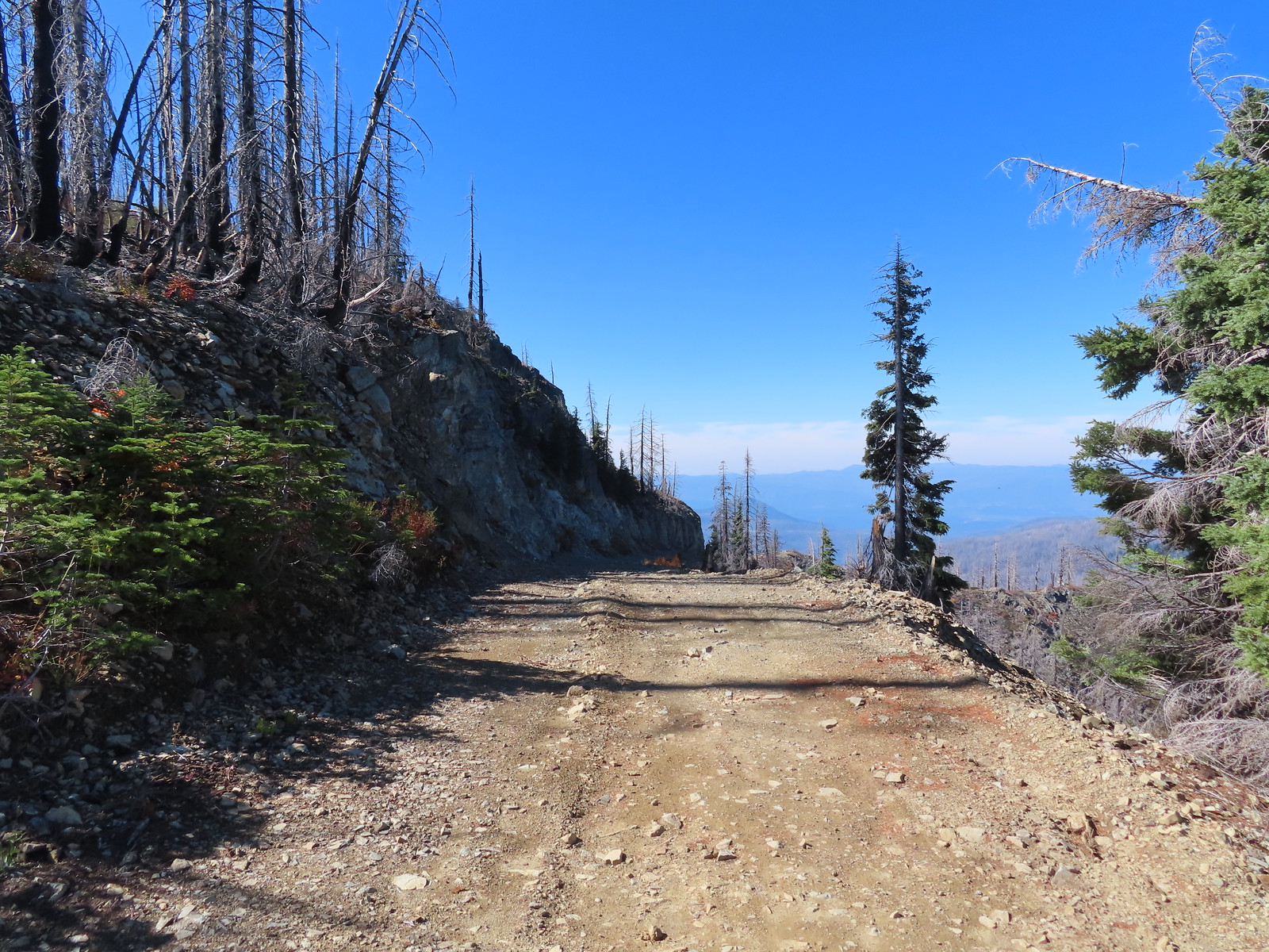
I turned right onto Road 570 and followed it 1.4-miles to Kings Saddle where I took another right onto Road 041. I spent a fair amount of time tossing rocks off of this road for the next 1.4-miles before arriving at the car.

 Bolan Mountain from Road 570.
 Pussy paws
 Road 041 at Kings Saddle.

 Pearly everlasting along Road 041.
 Where things started getting ugly on Road 041.
 It’s in the shadow but the runoff channel cut across the road here creating a decent sized divot.
 Another rocky section of the road.
 California sister at the trailhead.
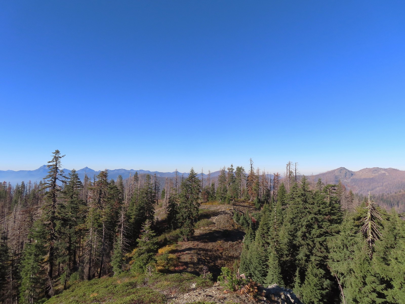
My loop here came to 8.6-miles with 1700′ of elevation gain but the vast majority of it was all in the 1.3-miles from the Boundary Trail junction to the summit of Tanner Mountain.
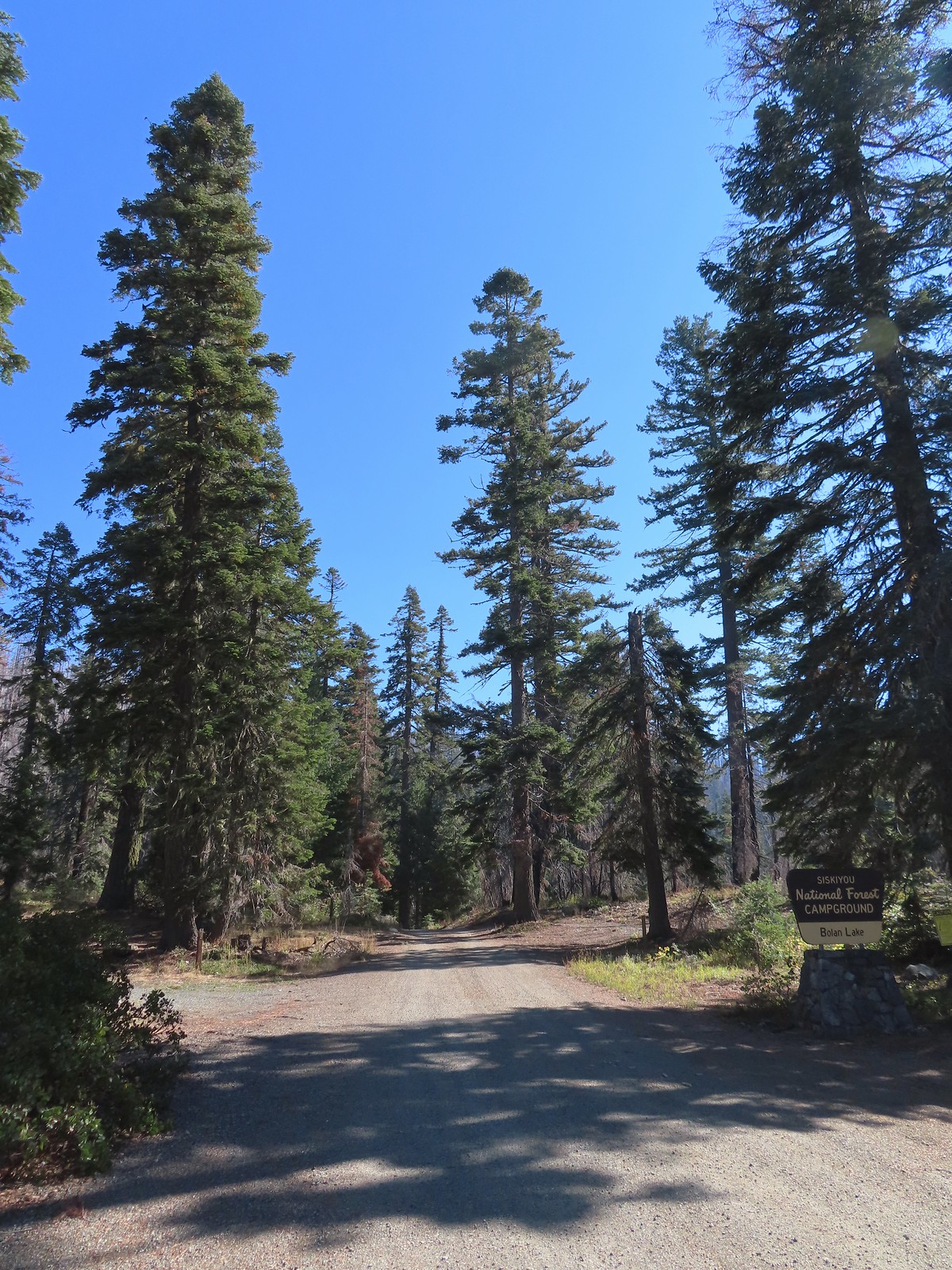
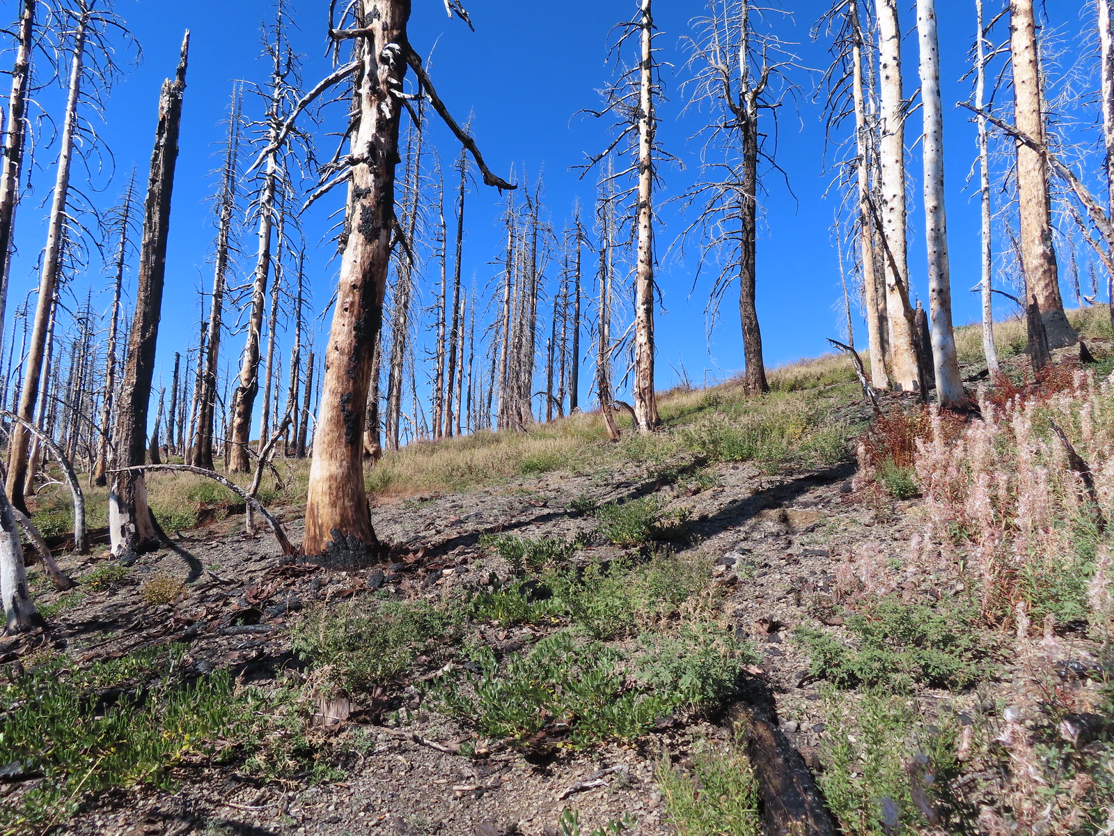
It was a good thing Heather hadn’t tried to tough it out as she had gotten a bit worse while I was gone, and this was a tough one. We carefully drove back up to Kings Saddle then continued another 3.2-miles to Road 40 where we turned sharply downhill continuing 1.8-miles to the Bolan Lake Campground. This area was also part of the 2020 Slater Fire but unlike the Tanner Lake Trail I quickly discovered that the Bolan Lake Trail had not received any recent maintenance.
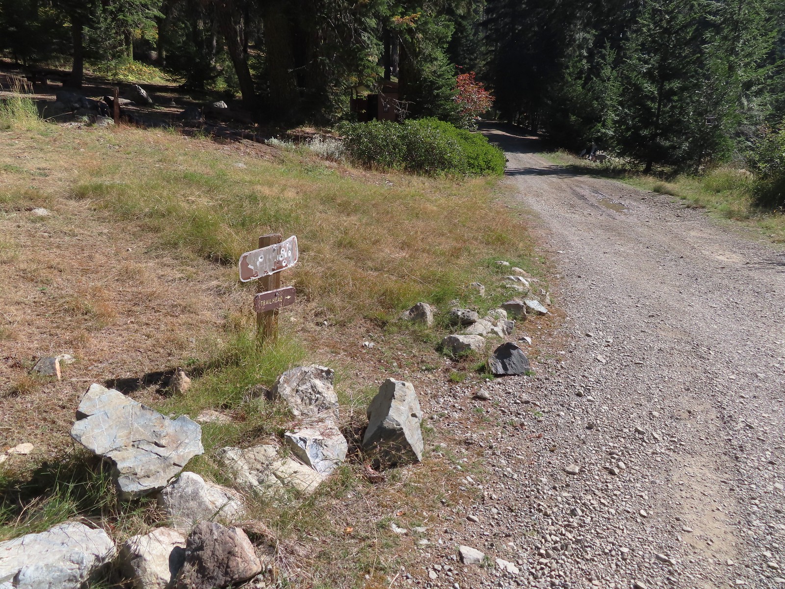
Heather again decided (smartly) to play it safe and stick to Sullivan’s shorter option here and do the 0.7-mile loop around Bolan Lake. I was going to attempt the 3.6-mile out-and-back to the former lookout site atop Bolan Mountain. The lookout was lost in the fire and “might” be rebuilt in the future. Our adventure began before we even got out of the car here though as the “trailhead” that was supposedly located near the end of the second campground loop was nowhere to be seen. The second loop was an eroded mess and we weren’t sure we were going to make it around. Fortunately we did and decided to drive back to the entrance of the campground and park along the shoulder.
 The pointer is a trap!
We walked down the road to the second loop and I began looking for the Bolan Lake Trail which Sullivan said began on the North (uphill) side at the highest point of the loop. I walked up and down the road a couple of times looking for anything that looked like a trail but only saw a single rock atop a large downed tree that might have been intended to be a cairn. The map on the GPS unit showed the trail starting near the start of the loop by an outhouse but there was also no sign of a trail there. I finally decided to set off uphill cross-country hoping to pick up the tread along the hillside.
 This looked like as clear a spot as any.
After only 100′ or so I came to trail tread.
 Looking up the Bolan Lake Trail.
 My guess is the rock on the log was where the trail used to begin but the log had been a bit too large to climb over.
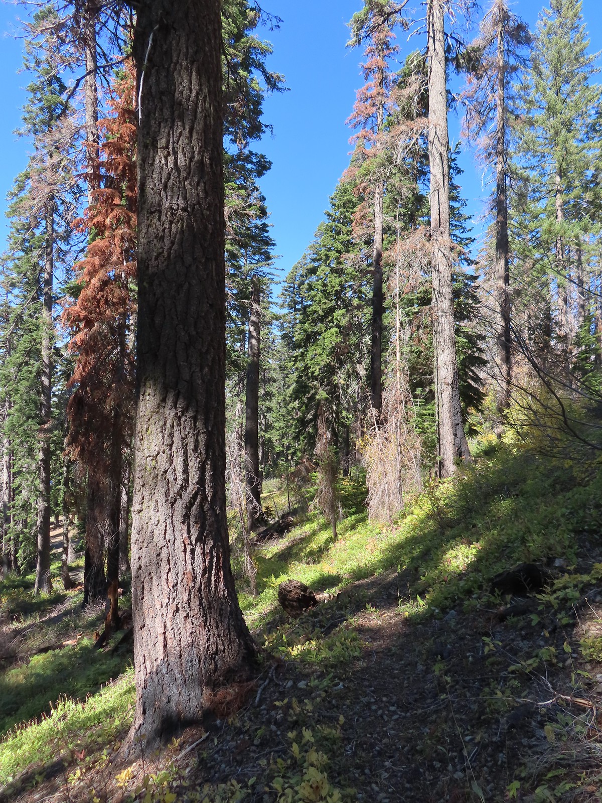
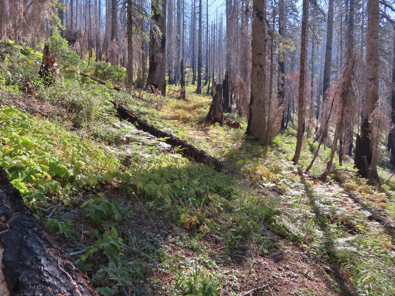
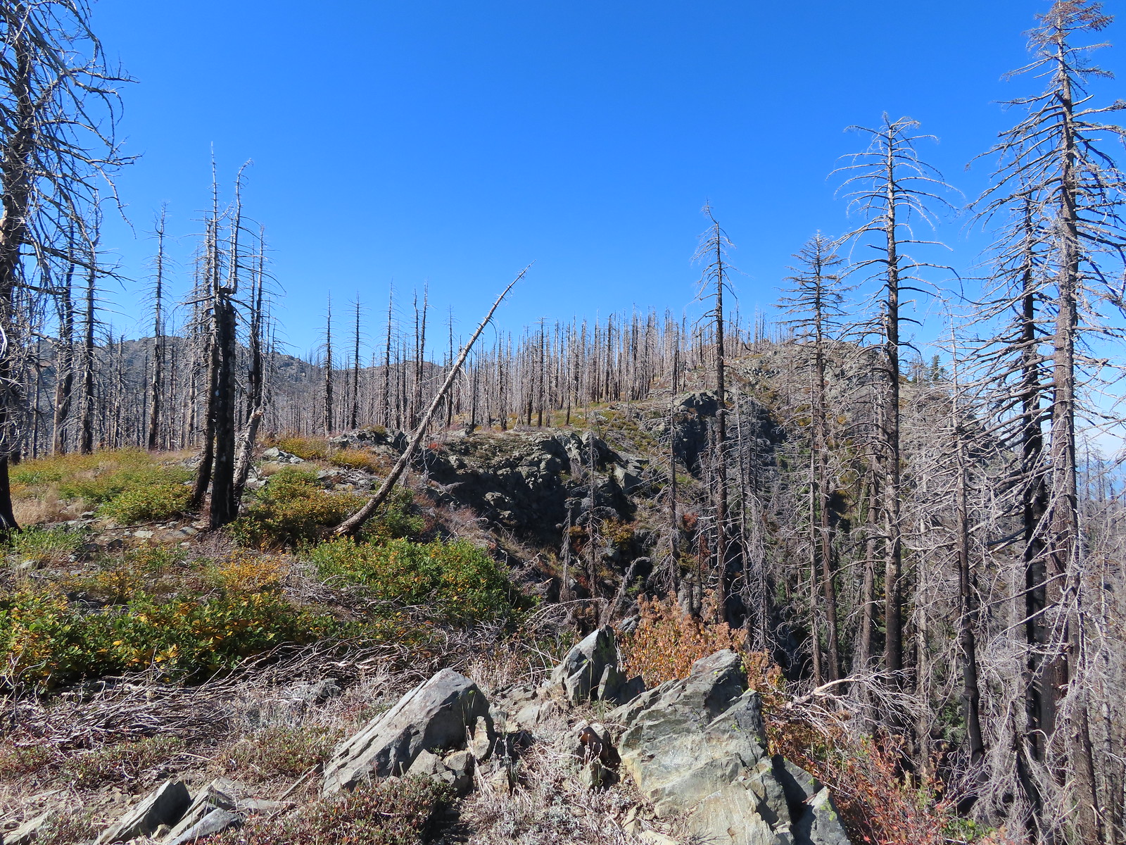
It was just over a mile to a junction on a ridge crest where the trail turned right for half a mile to the service road up Bolan Mountain. This trail was everything I feared the loop around Tanner Mountain might be. The tread was faint, blowdown covered the trail, and at one point the tread was eroded to the point that side hilling for several feet above the former tread was necessary.
 Faint tread was all that was left in most places.
 The Bolan Lake Trail to the left.
 Sometimes the tread just disappeared.
 Lake Mountain, Grayback Mountain, Craggy Mountain, and Swan Mountain.
 Momentary tread.
 Just about 500′ below the ridge there was a large downed tree which required some side-hilling to drop below and then climb steeply back up to the trail.
 I got back to the trail to find more debris covering it.
 Final pitch to the ridge.
 Bolan Mountain from the ridge.
 The trail descended slightly on the far side of the ridge to the junction.
 I assume the downed post and small pile of rocks marked the junction with the mile long Kings Saddle Trail.
 The Bolan Lake Trail (I think) at the junction.
For the next half mile the tread would come and go so I relied on the GPS to stick as close to the trail as I could. The only issue was that the GPS labeled a rocky high point as Bolan Mountain so I briefly, and needlessly turned even more steeply uphill toward it before realizing there was no road here so it couldn’t be right.
 I might be on trail.
 I was sure I was on the trail here.
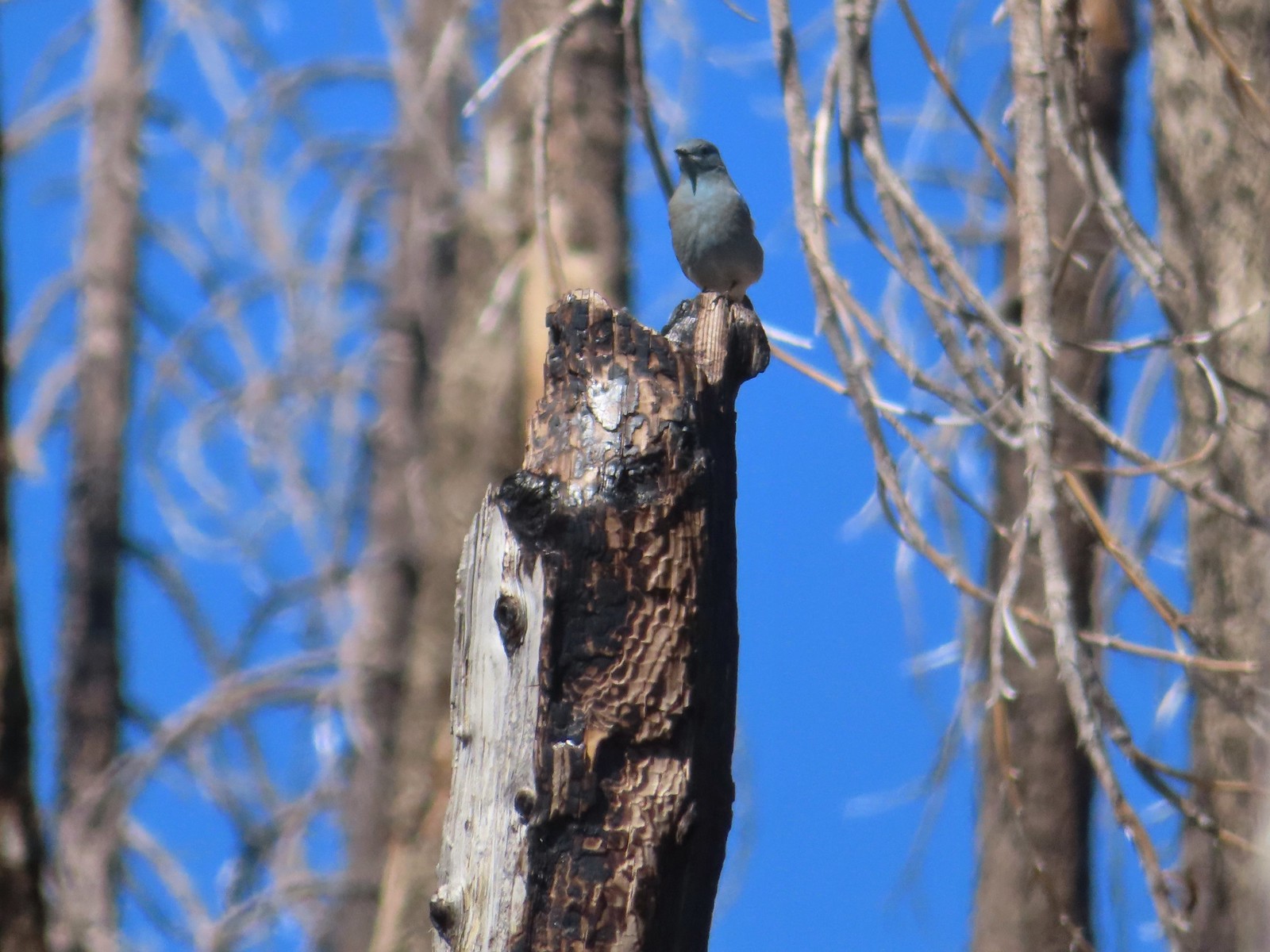 Mountain bluebird wondering what I was thinking.
 Now I was just going uphill.
 No idea where I was supposed to be at this point.
 The rocky point that the GPS labeled as Bolan Mountain.
 I got this far before realizing I was heading to the wrong spot.
 At least from here I could see the road heading up to the former lookout site through the burned trees.
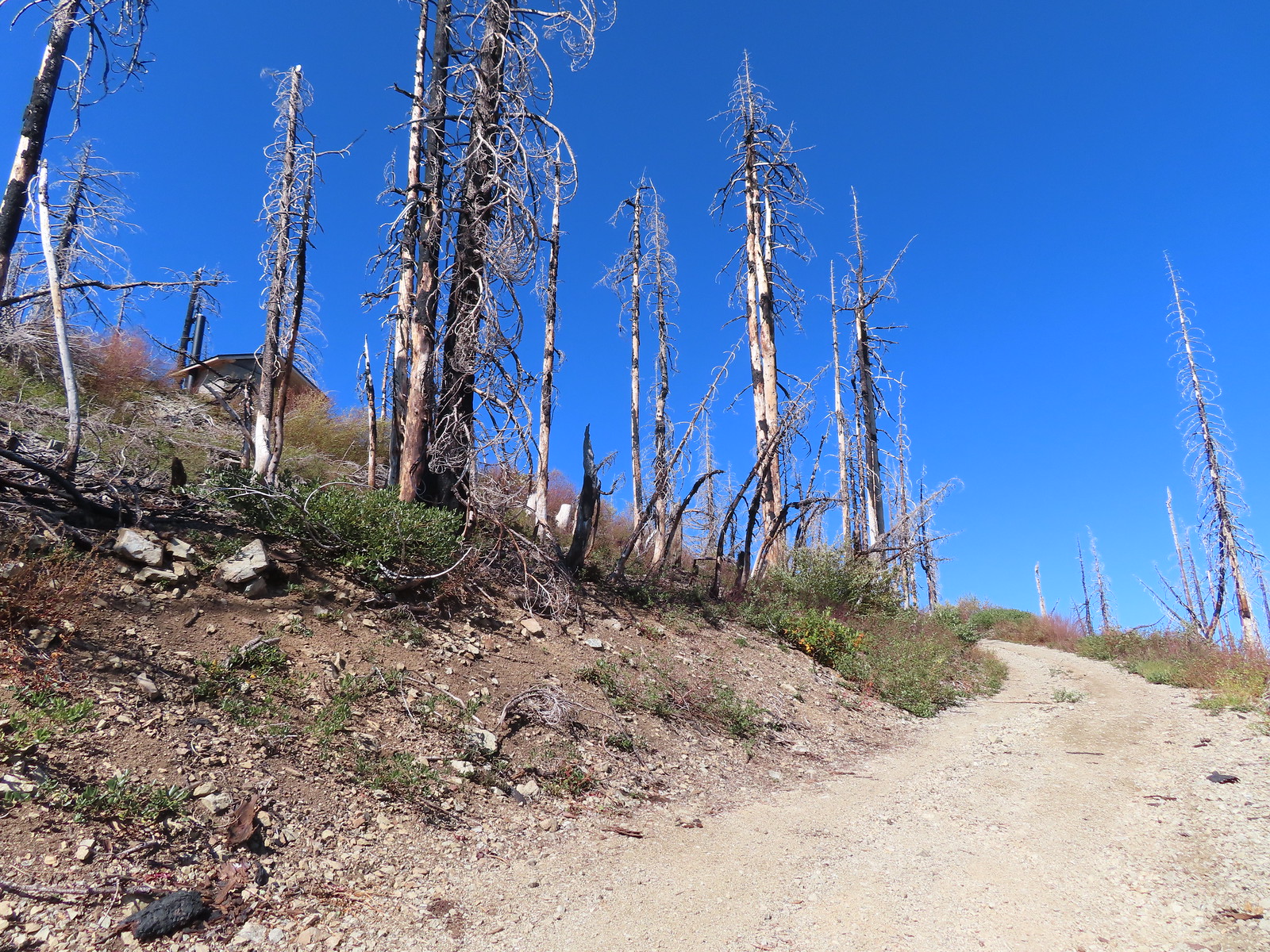
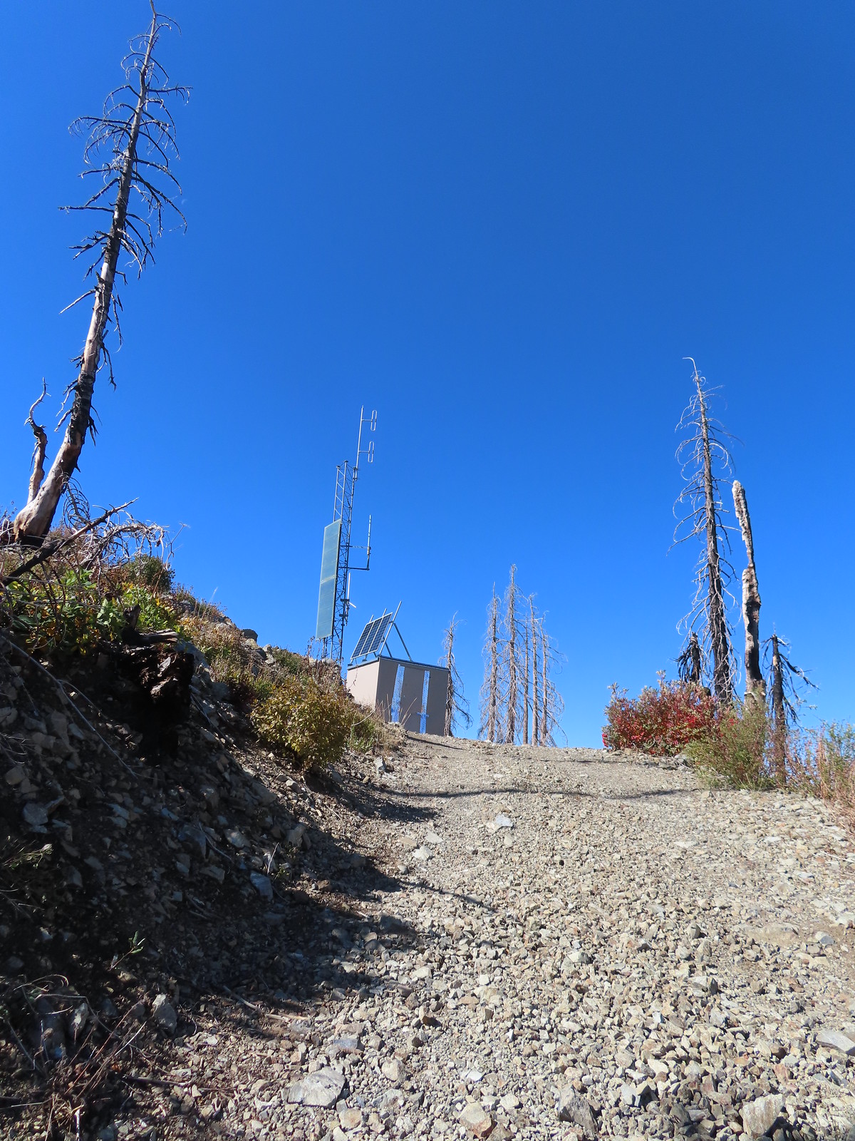
I headed cross-country to the road and followed it 0.2-miles to the foundation of the former lookout.
 Not sure if the outhouse (above to the left) survived the fire or is new.
 Stone steps to the former lookout site.
 Preston Peak and El Capitan from the lookout site.
 Bolan Lake from Bolan Mountain.
 Tanner Mountain in the foreground.
 Grayback Mountain from Bolan Mountain.
 Red Buttes to the far left and Mt. Shasta through the haze.
As I was resting at the lookout site I considered my next course of action. I wasn’t overly excited about returning on the Bolan Lake Trail so I checked Sullivan’s map to see what other options I might have. He showed the access road traveling 1.3-miles down to Road 040 and from there it was 0.6-miles to Bolan Creek where he showed a short connector trail to the loop around Bolan Lake. That was only a tenth of a mile longer than returning the way I’d come so I decided on another road walk.

 Bolan Lake from the service road.
 Looking back toward Bolan Mountain.
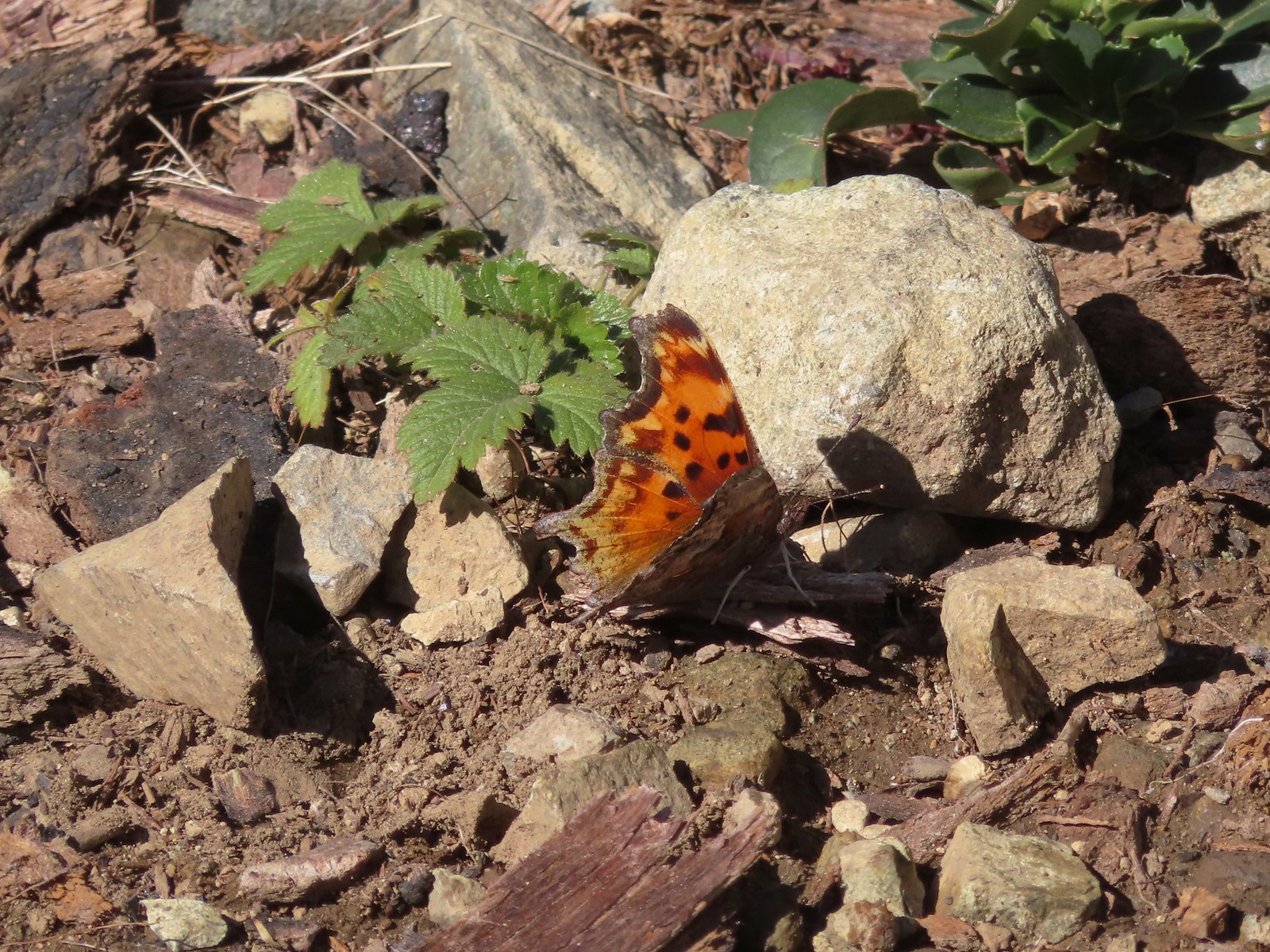 Hoary comma
 Gate along the service road.
 Road 40 from the service road.
 Road 40.
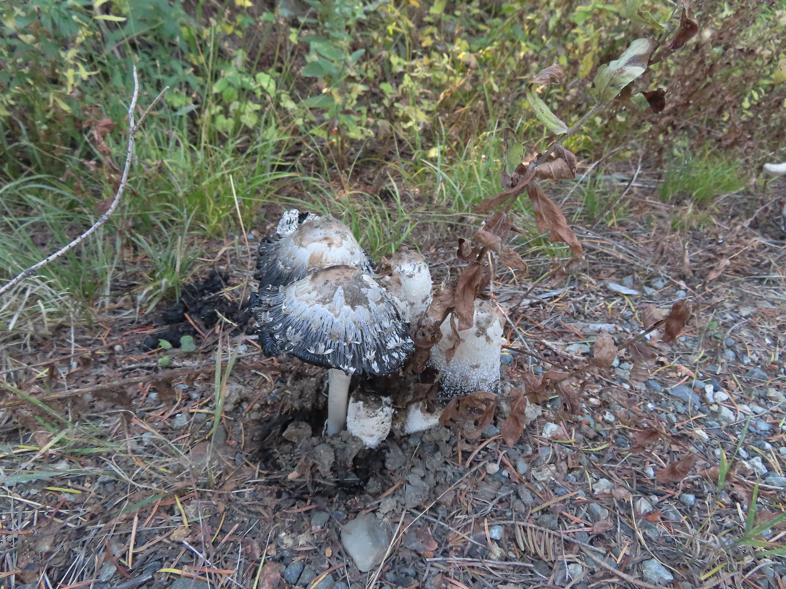 Mushrooms along Road 40.
 The connector trail along Bolan Creek.
 The trail around Bolan Lake.
The connector joined the trail at a footbridge over Bolan Creek which I crossed and continued around the lake counterclockwise.


> Thick vegetation along the lake shore.

 Trail sign at the end of the second campground loop for the trail around the lake.
 Pretty deep channel at the end of the loop.

I followed the road back to the first campground loop where I spotted Heather’s backpack and poles on a picnic table.


 Bolan Mountain from Bolan Lake
My hike here came to 4.8 miles with a little over 850′ of elevation gain.
We returned to Grants Pass where we had a nice dinner at the Taprock Northwest Grill. Later, after checking in on the weather forecast for the next two days we decided to try doing both of our remaining featured hikes on Monday. With clouds and rain being called for it didn’t seem like a good time to summit Grayback Mountain so we would be doing Sullivan’s shorter option to the O’Brien Creek Shelter and that should give us plenty of time to make the drive to Babyfoot Lake and do the 2.4-mile option to the lake and back. If that didn’t work out we still had Tuesday morning to fit Babyfoot Lake in and finish our 100 featured hike goal (post). Happy Trails!
Flickr: Tanner and Bolan Lakes

2 replies on “Tanner and Bolan Lakes – 10/08/2023”
[…] #72 Mount Elijah-Hiked 10/7/2023 #73 Sucker Creek-Hiked 10/26/2015 #74 Tanner Lakes-Hiked 10/8/2023 #75 Bolan Lake-Hiked 10/8/2023 #76 Polar Bear Gap-Hiked 7/1/2022 #77 […]
[…] hike at Tanner Lakes saw us briefly drive through part of the State to reach the trailhead (post). Peaks in California from Tanner […]