**Note the 2020 Riverside Fire burned the trails for the Memaloose Lake and South Fork Mountain hike.**
We had the rare opportunity to have company on one of our outings on our vacation. Four of Heather’s running buddies (we won’t name names but you know you you are) were open to our 5am start time so we swung by and had them follow us to the first of two stops at the Memaloose Lake Trail.
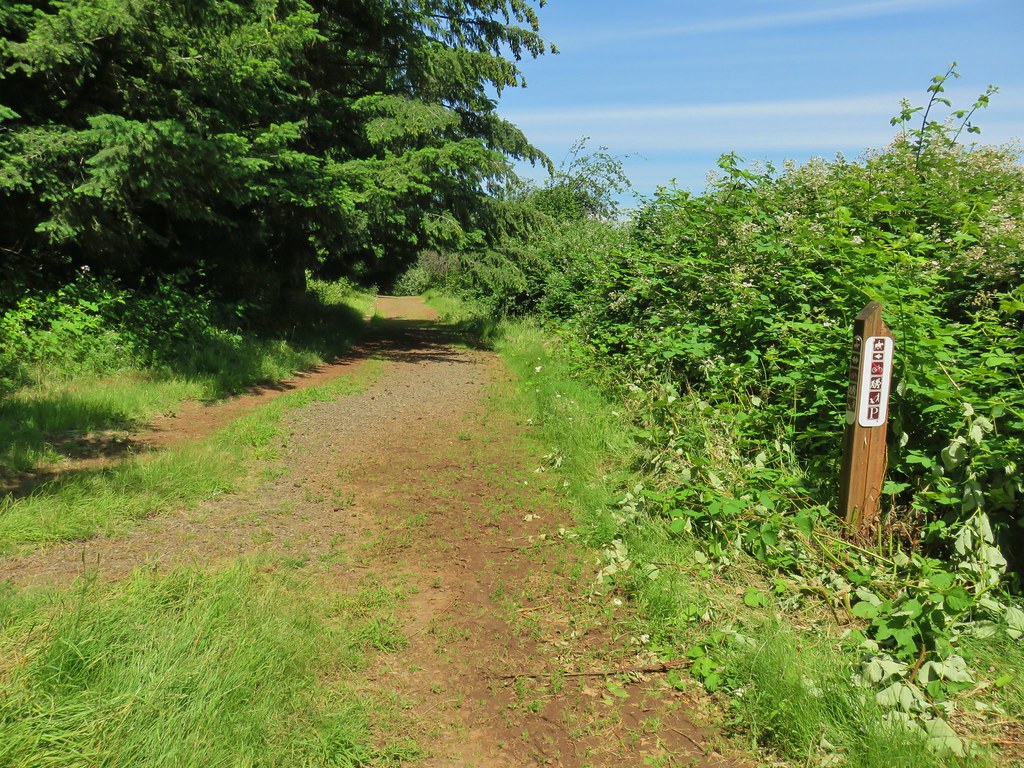
The trailhead is along Forest Road 45 which runs between Highway 242 and Highway 211. The 2014 36 Pit Fire forced the closure of FR 45 at Highway 224 after damaging a section of the road. This was the recommended way to the trailhead as the fist 11.2 miles were paved and the final mile was good gravel. While the repairs are nearly finished FR 45 was still closed 3.5 miles from Highway 242 meaning we would need to take FR 45 from Highway 211. From that highway it was 23 miles to the trailhead and although most two digit forest roads are paved or at least good gravel FR 45 was not. There was a short section of pavement before turning to a pothole filled mess. For their part the Forest Service was in the process of clearing brush and debris along the road but there was still quite a bit of work to do as some downed trees had been worked on just enough to allow vehicles to get by. We picked our way slowly around (and sometimes through) the obstacles and eventually made it to the trailhead.

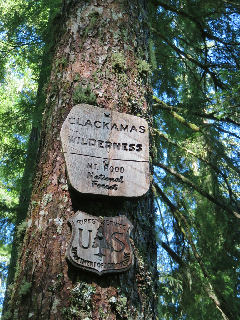
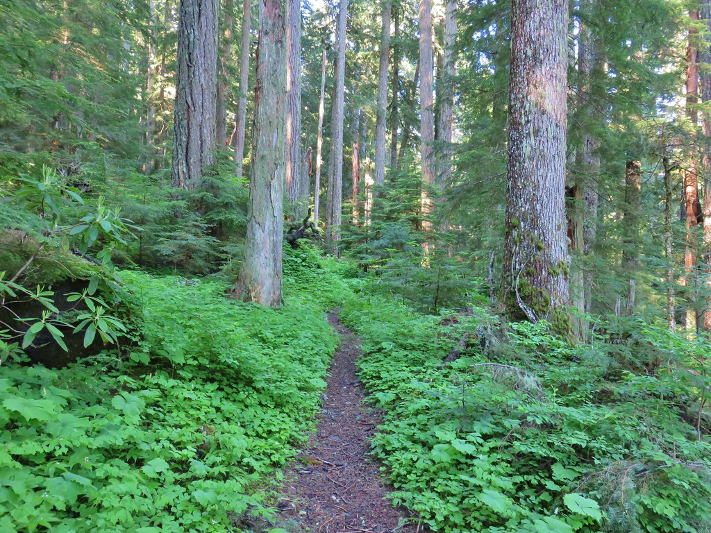
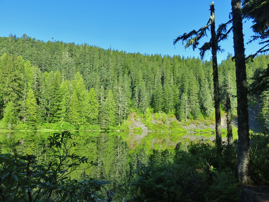
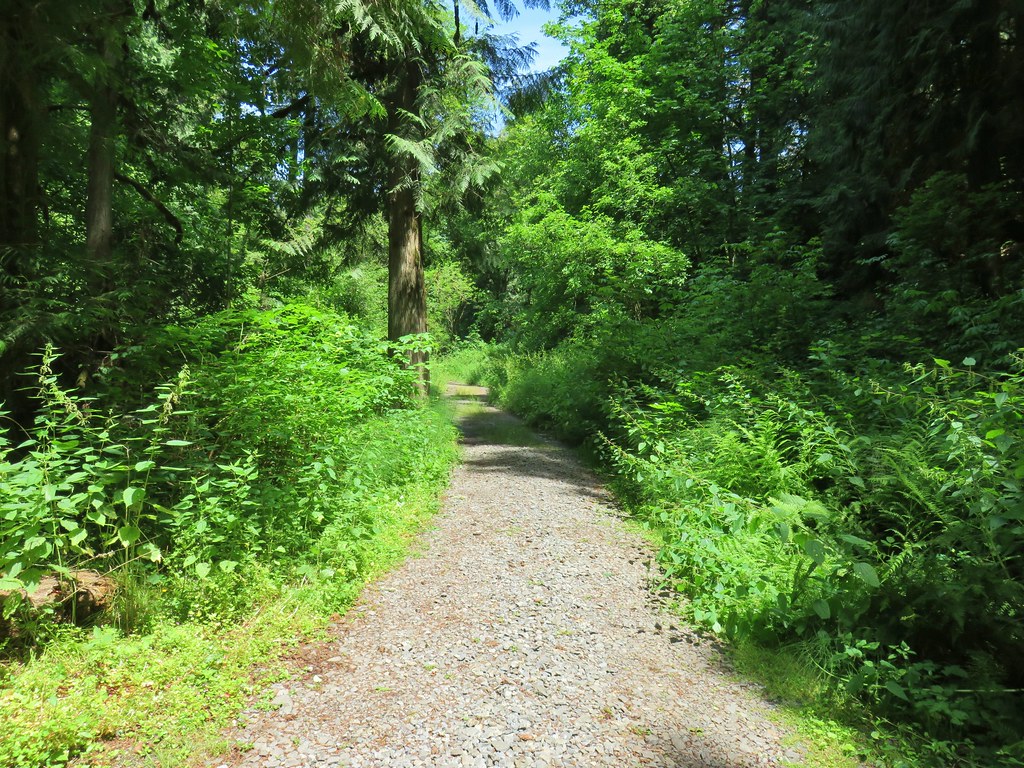
The Memaloose Lake Trail starts uphill into the Mt. Hood National Forest and quickly enters the Clackamas Wilderness.

The 1.4 mile trail gained 700′ as it climbed through a lush green forest.
 Bunchberry
 Salmonberry
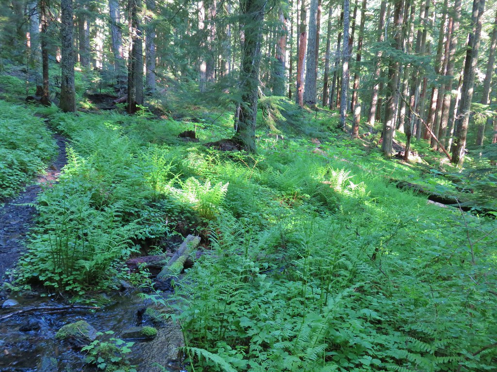
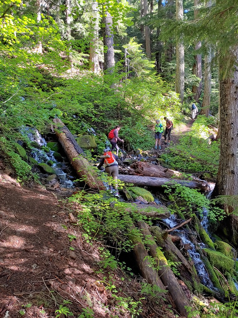
The trail crossed a couple of small streams before climbing to a more substantial crossing of Memaloose Creek.
 First little stream crossing.
 Another stream crossing, this one with skunk cabbage.
 Memaloose Creek crossing.
 Memaloose Creek above the crossing.
The crossing was made just a bit tricky by a downed log in the middle of the creek which required some awkward steps on potentially slick rocks.
Beyond the creek the trail made a long switchback up to Memaloose Lake.
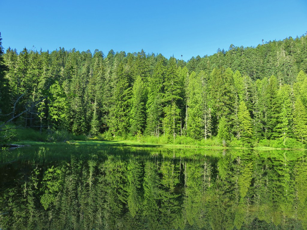
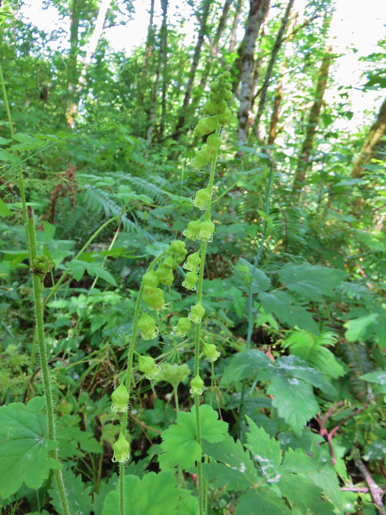
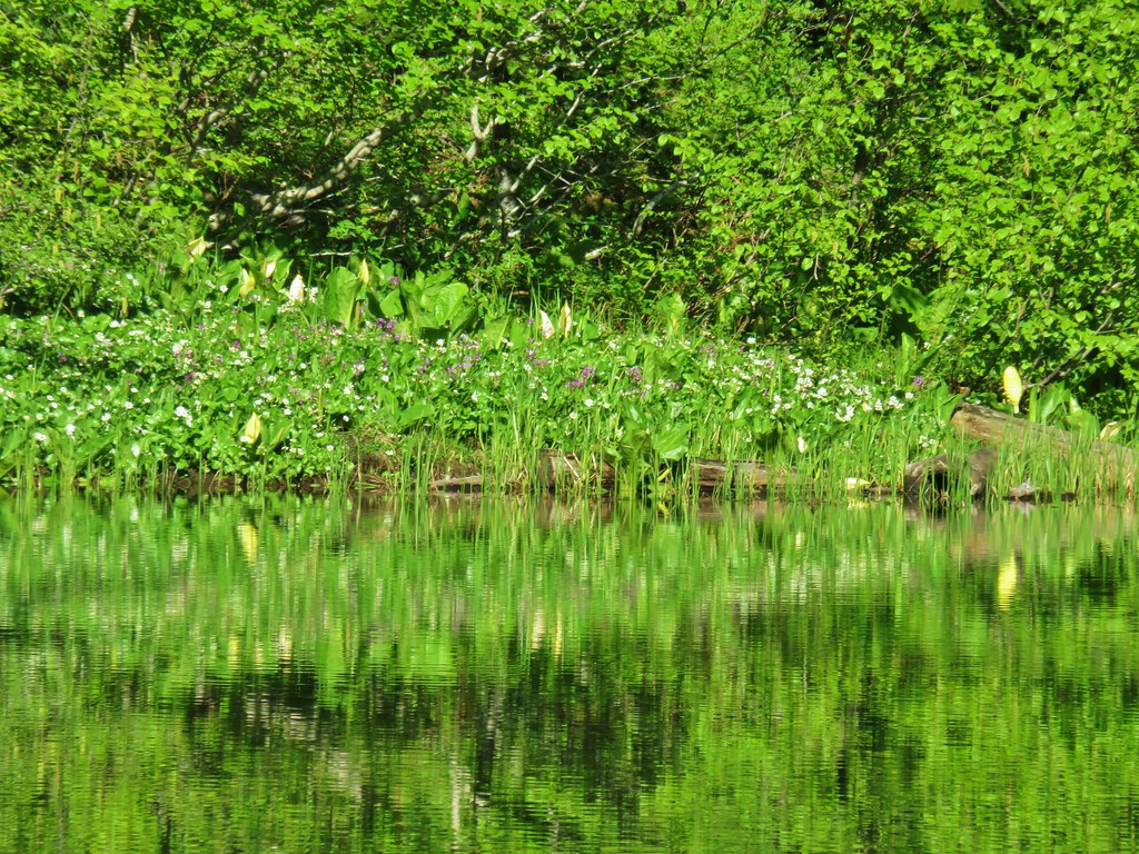 Skunk cabbage, shooting stars, and marsh marigolds across the lake.
There were some rough skinned newts in the water that we watched for a bit.

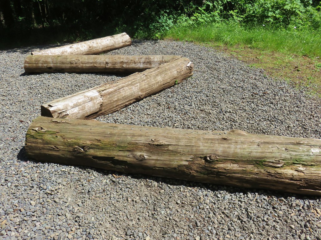
After a short break at the lake we continued on crossing the outlet on some logs.

The Memaloose Lake Trail ends at the lake, but a user maintained trail continues uphill for a mile to the summit of South Fork Mountain.

The trail was in good shape for an “unmaintained” trail. There were a few trees down including a spot where we were forced to dip down on a hillside to get around one. The footing wasn’t bad but it could become an issue if not addressed.
 Typical obstacles for the trail.
I was hoping for a few flowers on the summit but aside from some trillium a bit below the summit and some small parsley up top there weren’t any.
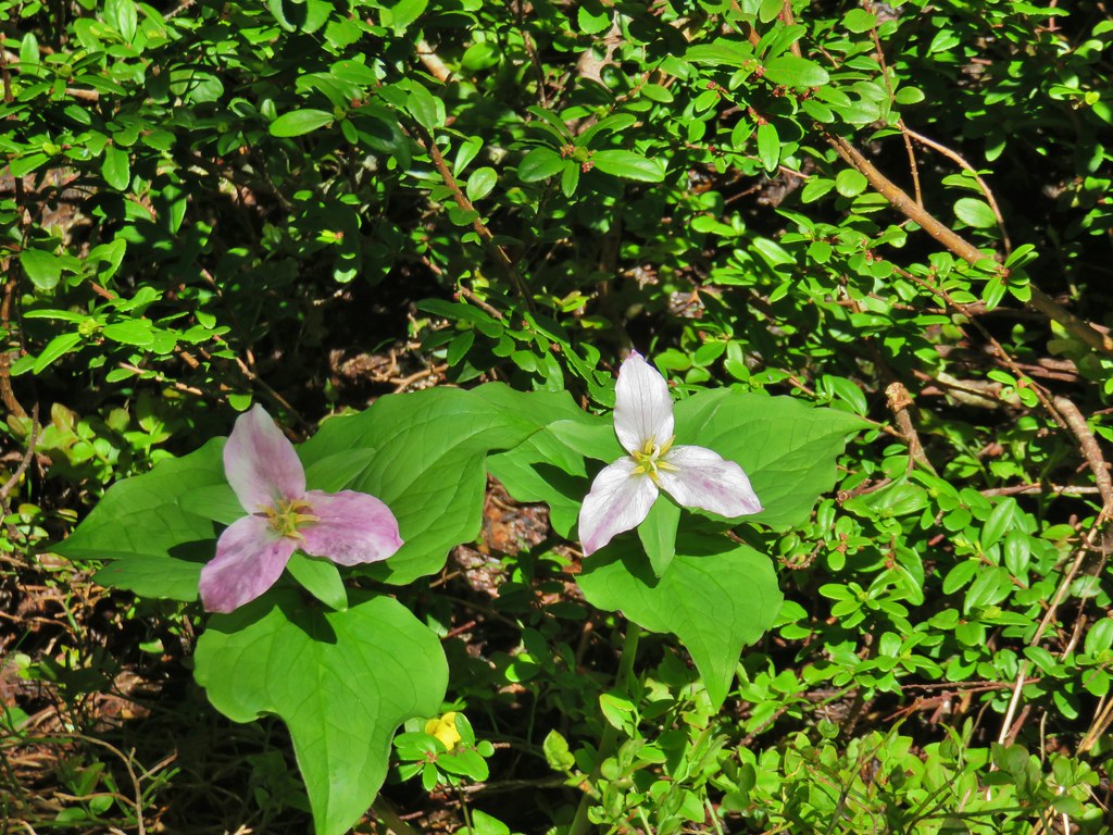 Trillium

What there was though were views of volcanoes. It was pretty much cloudless and we had unimpeded views of the Cascades from Mt. Rainier down to the Three Sisters.
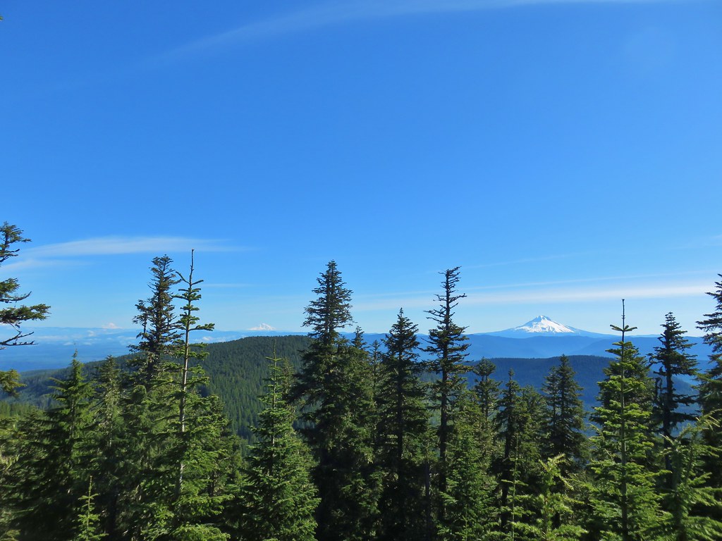 Mt. Rainier, Mt. Adams (with Goat Rocks the snowy patch just to the left), and Mt. Hood
 Mt. Rainier
 Goat Rocks to the left with Mt. Adams
 Mt. St. Helens
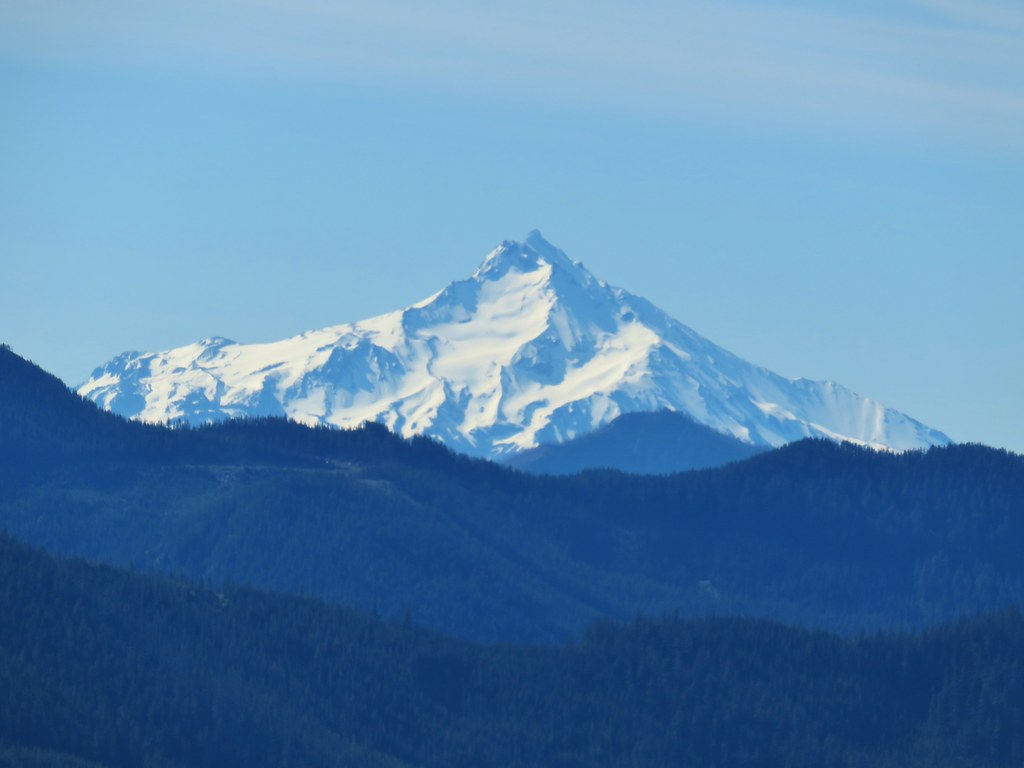
 Mt. Hood
 Mt. Jefferson, Three Fingered Jack, Broken Top, Mt. Washington, and the Three Sisters.
 Mt. Jefferson
 Three Fingered Jack
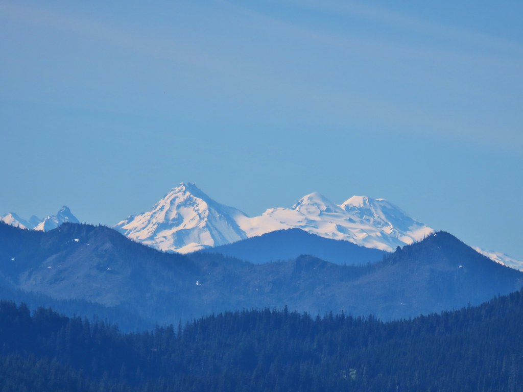 Broken Top, Mt. Washington, and the Three Sisters
I am often surprised by views of Broken Top forgetting that it is quite a bit east of the Three Sisters. I hadn’t clued into the fact that it was visible behind Mt. Washington until I was writing this post.
After exploring the summit and taking another short break we headed back down to the trailhead and prepared to drive back down through the potholes to Highway 211.
The hike to Memaloose Lake and South Fork Mountain was 4.75 miles so when I was planning our outing I was looking for another hike in the 6 to 8 mile range in the area. Luckily Milo McIver State Park offered a couple of loop options that fit the bill.
I had chosen the Riverside Loop Hike described in the Oregonhikers.org Field Guide.
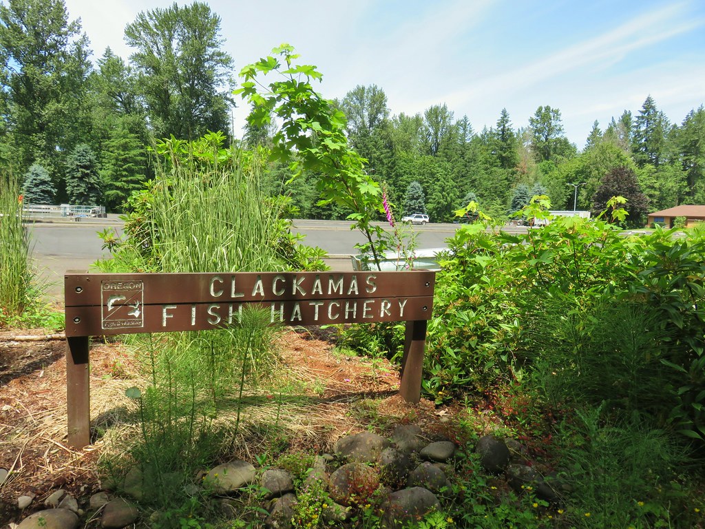
We parked at the Riverside Day Use Area near the Clackamas Fish Hatchery and set off on the Dog Creek Loop Trail at the far end of the parking lot.


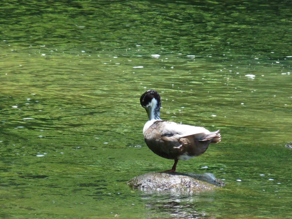
We took a quick detour to visit the Clackamas River and watch a duck on a rock.

The trail crossed Dog Creek twice on footbridges before arriving at the fish hatchery after .2 miles.


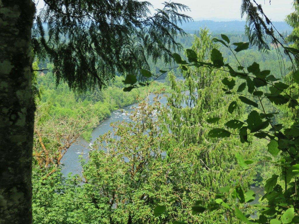
We stayed right here and continued to stay right at junctions for 1.2 miles to the start of the Vortex Loop which we had originally considered taking, but the junction with the trail on the right was simply marked with a hiker symbol and no trail name. It appeared to be heading back down to the trail we just came up so we continued on until coming to a viewpoint of the Clackamas River below.
 Red elderberries
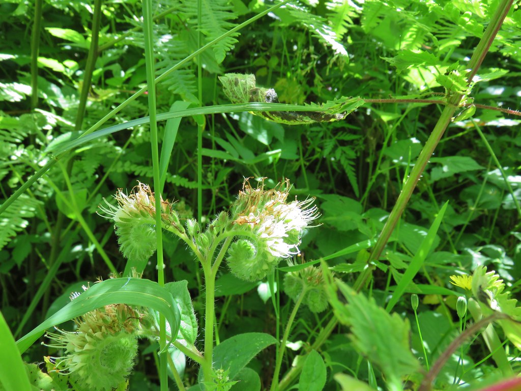
 Youth-on-age
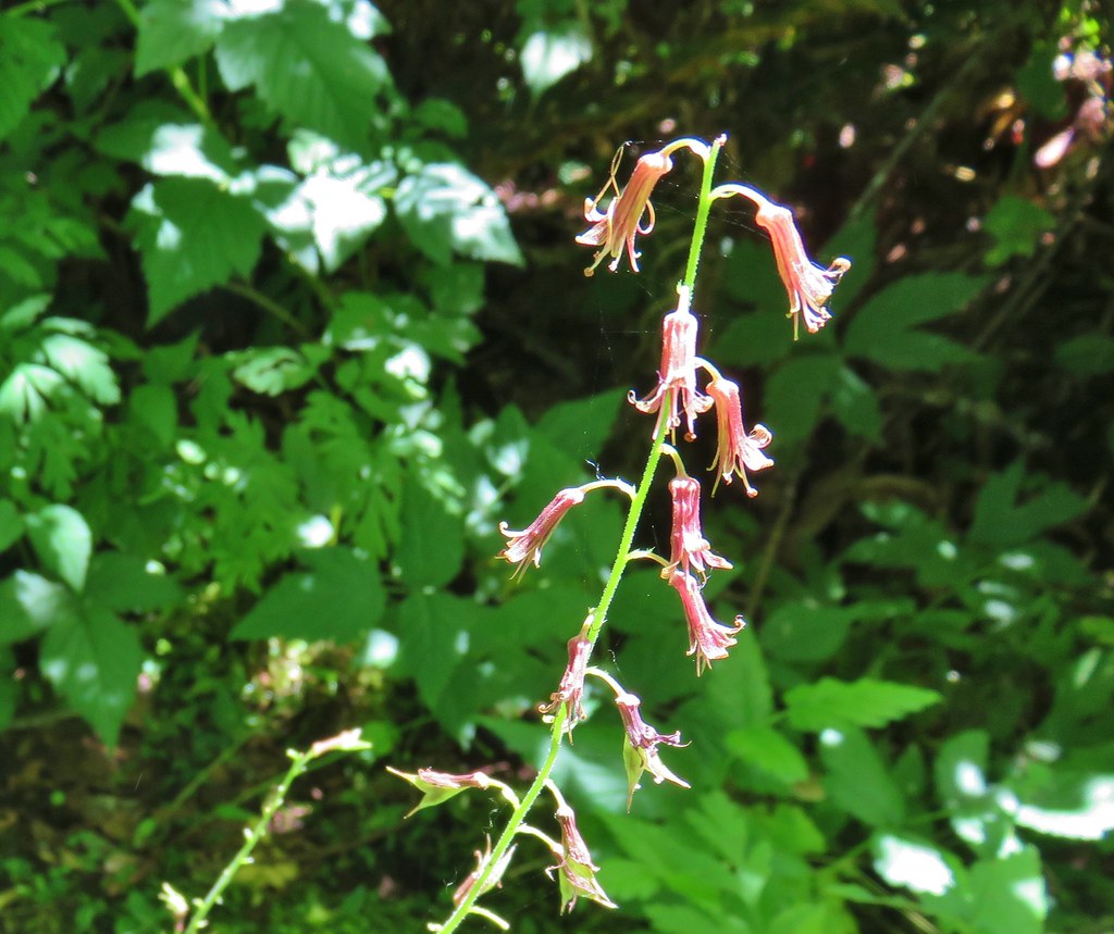
 A phacelia
 Hedgenettle
 Tiger lily
 Fringecup
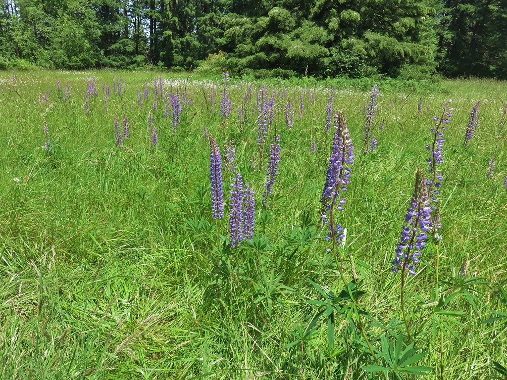
Beyond the viewpoint we arrived at a meadow with a grassy track joining on our right we reread the description and realized that this was the other end of the Vortex Loop and we had missed the turn.

We decided to save the 2 mile Vortex Loop for another time and stayed on the Rivermill Trail which skirted the meadow before crossing a pair of roads, the second of which was near a horse staging area.
The horse staging area was located at another meadow which we turned right at skirting the edge on a wide track which was the Bat Trail (the Rivermill Trail was further to the right in the trees).

This led us to the Bat Barn and had a view of Mt. Hood which was now sporting some clouds.


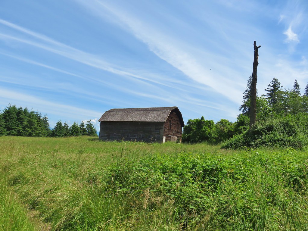


It was too early in the day for bats but we did see a hawk with lunch.

Beyond the barn the Bat Trail rejoined the Rivermill Trail where we turned left and descended along a row of blackberry bushes.
This section of the Rivermill Trail hosted a horse training circuit which the six of us took turns training on.

The park had a serious issue with identifying trails. Most of the junctions indicated whether or not they were open to horses or just hikers, but the vast majority didn’t give the name of the trails or any indication of what might be down the trail. There was a sign for the Estacada Lake Trail though which we turned onto when we arrived at it.

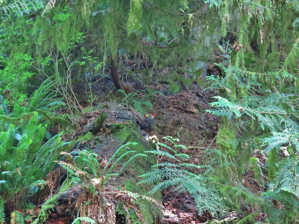
We were now descending back down toward the river through a forest where a pileated woodpecker was busy working on a log.
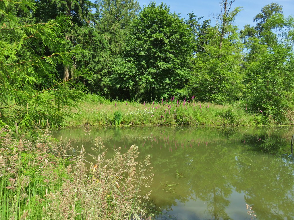
When we arrived at a muddy pond we wondered if this could be the lake.
 Dragonfly near the pond.
A quick look at the hike description let us know that this was indeed just a pond and that Estacada Lake was actually on the Clackamas River behind a dam. The Estacada Lake Trail dropped us onto South River Lake Road where we turned left along the river to the lake.


We picked up the Rivermill Trail again just beyond the dam viewpoint and followed it back to the Riverside Day Use Area and our cars. This loop came in at 6.5 miles giving us a nice 11.2 mile day. It was an interesting day in that the first hike had been in a wilderness area and we had seen no other people while the second hike was in a developed state park where there were other people and horses about. The scenery was very different but both hikes had their place.
It was also nice to share a hike with some other people. Most folks balk when they hear what time we leave in the morning (and sometimes when they hear how far we’re planning on going). Happy Trails!
