
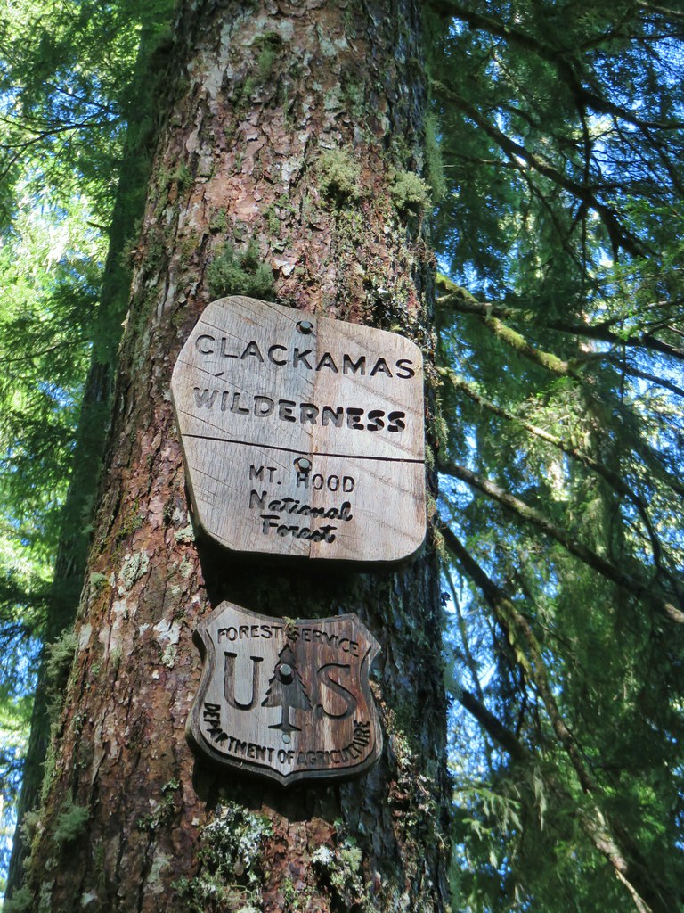
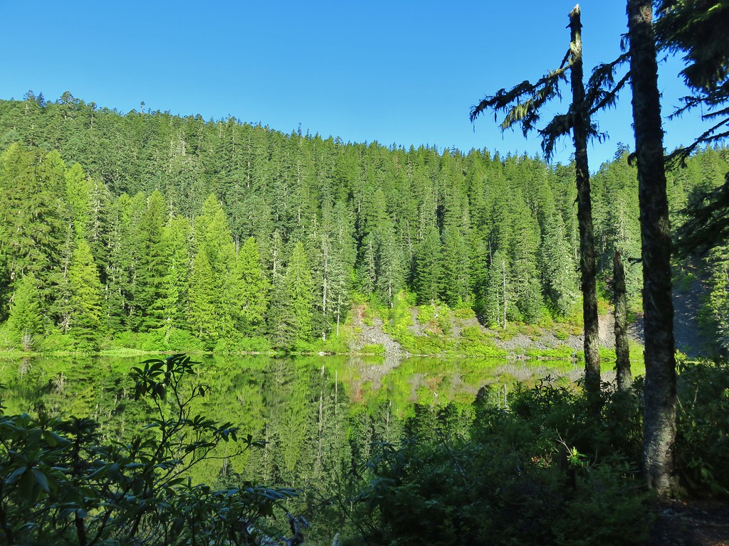
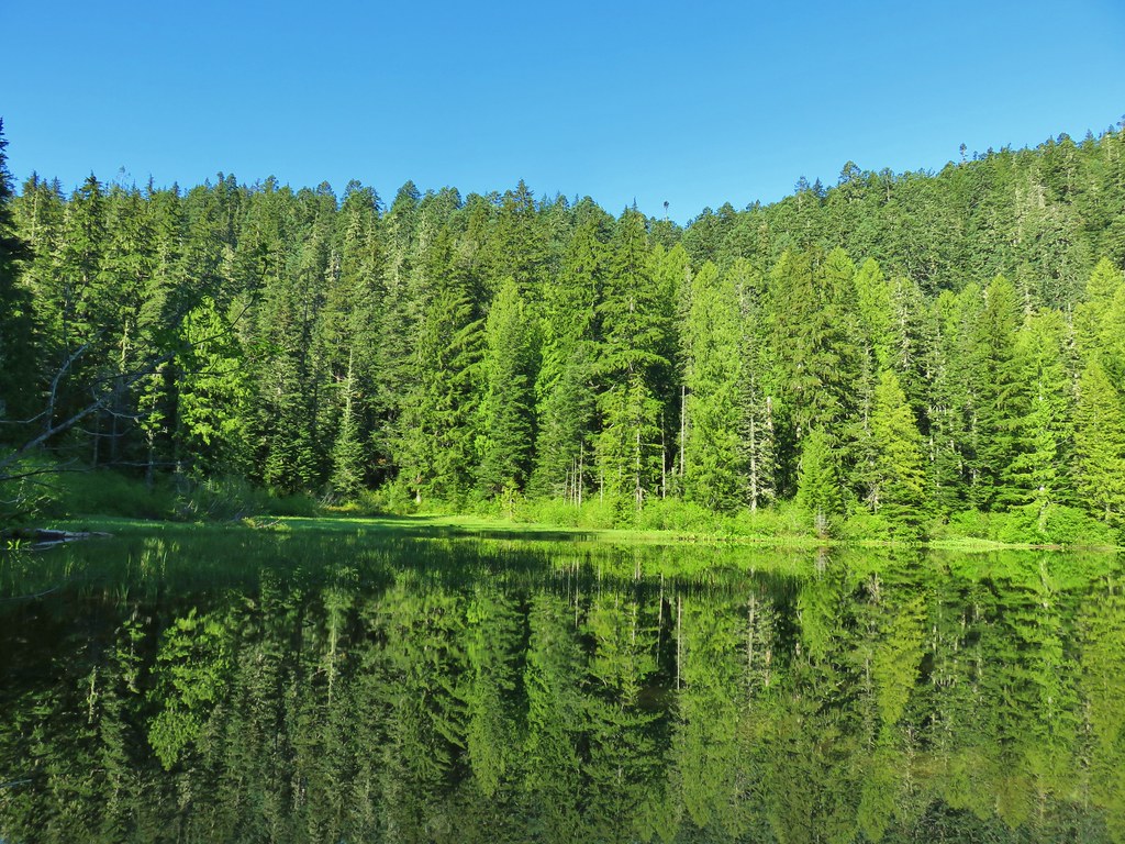
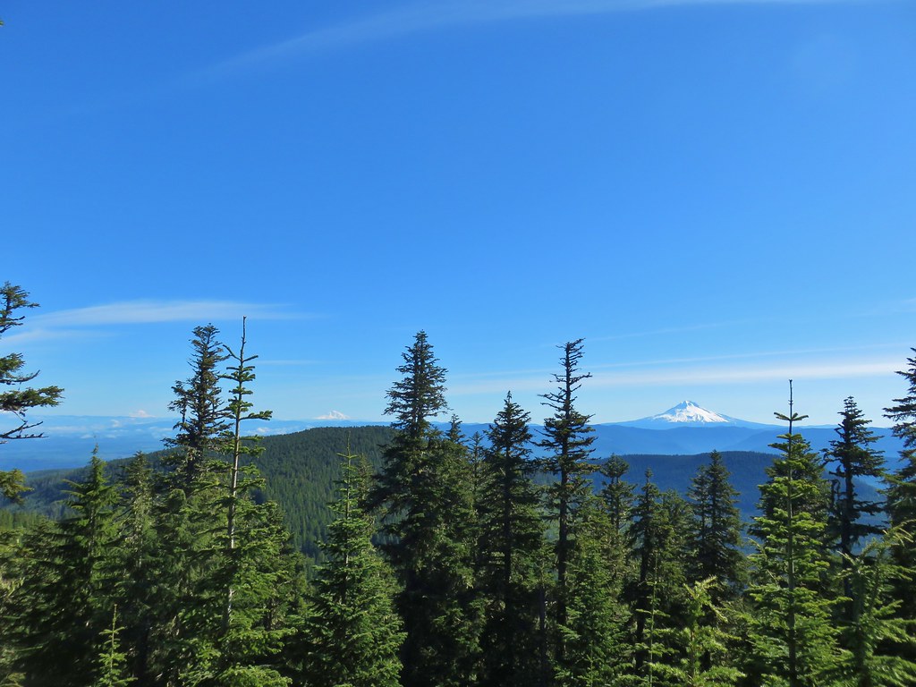
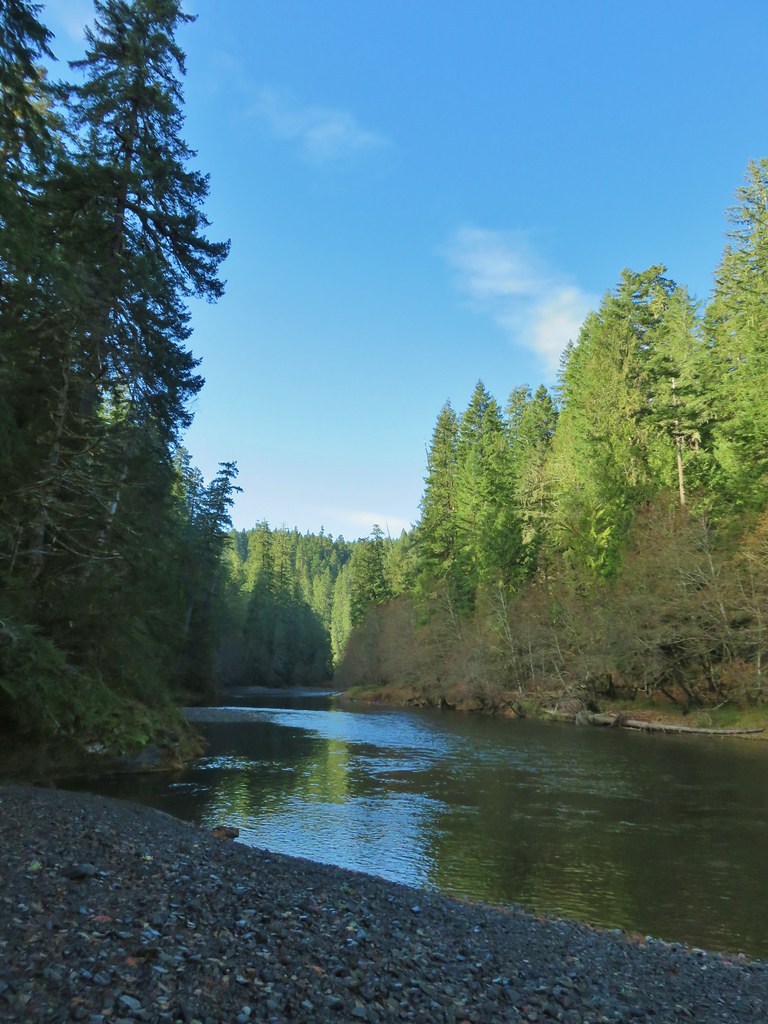
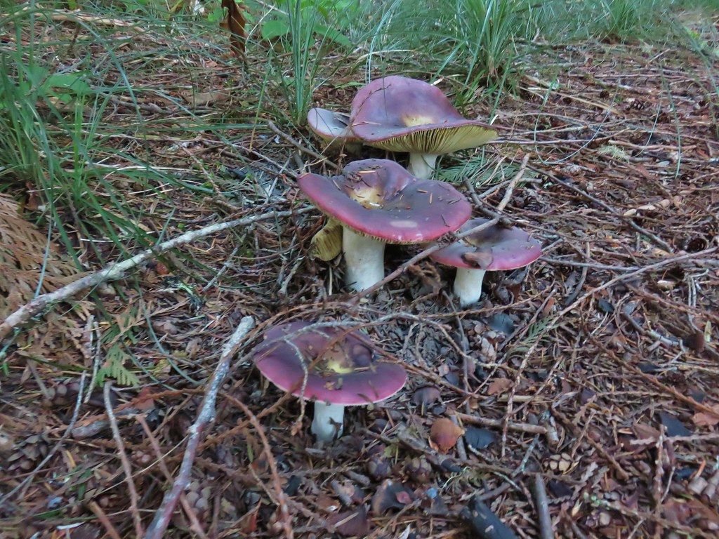
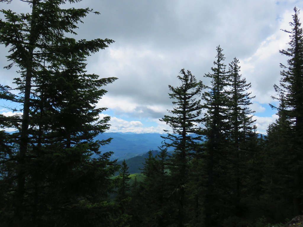
Whenever possible we try and take a hike in the Old Cascades in the morning on the 4th of July. This year we chose one of the few remaining hikes from Matt Reeder’s “101 Hikes in the Majestic Mount Jefferson Region” (2nd edition) that we had yet to do. Many hikes featured in that book have been affected by fires over the last 5 years, primarily in 2020, but Mount Lowe has thus far been spared. Located along the Rho Ridge Trail, Mount Lowe rises to 5338′ and was home to a Forest Service lookout from 1916 into the 1960’s. We had hiked a portion of the Rho Ridge Trail in 2017 when we visited the Hawk Mountain Lookout (post). Much of that section of the trail was burned in the 2021 Bull Complex Fire.
While there are several potential starting points to reach Mount Lowe, we chose to start at Graham Pass where we had also parked for our 2017 hike.

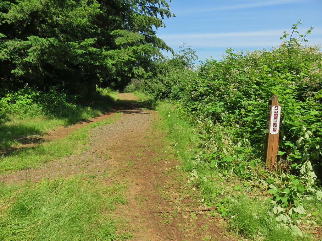
Forest Road 6350 from the large parking area at Graham Pass.
This starting point creates a moderate 6.8-mile out-and-back with approximately 1400′ of elevation gain with options to extend it. From the parking area we walked down the gravel road, crossed FR 6350, and followed FR 4670 for 200′ to a sign for the Rho Ridge Trail.

Penstemon

Oregon sunshine and maybe a vetch?

The Rho Ridge Trail paralleled FR 4670 for just under half a mile before returning to the road.


Queen’s cup

Rhododendron

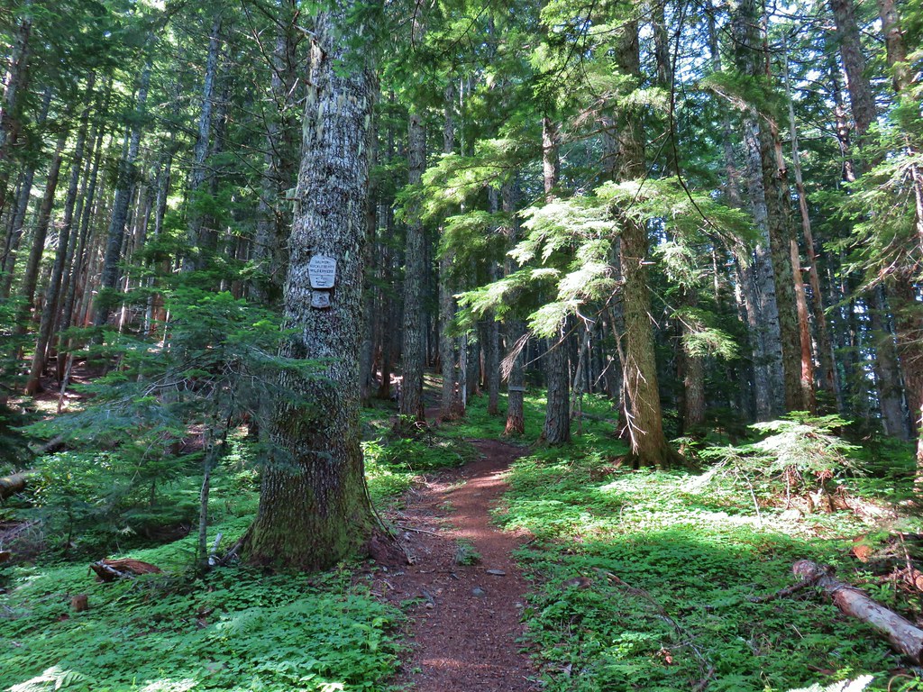
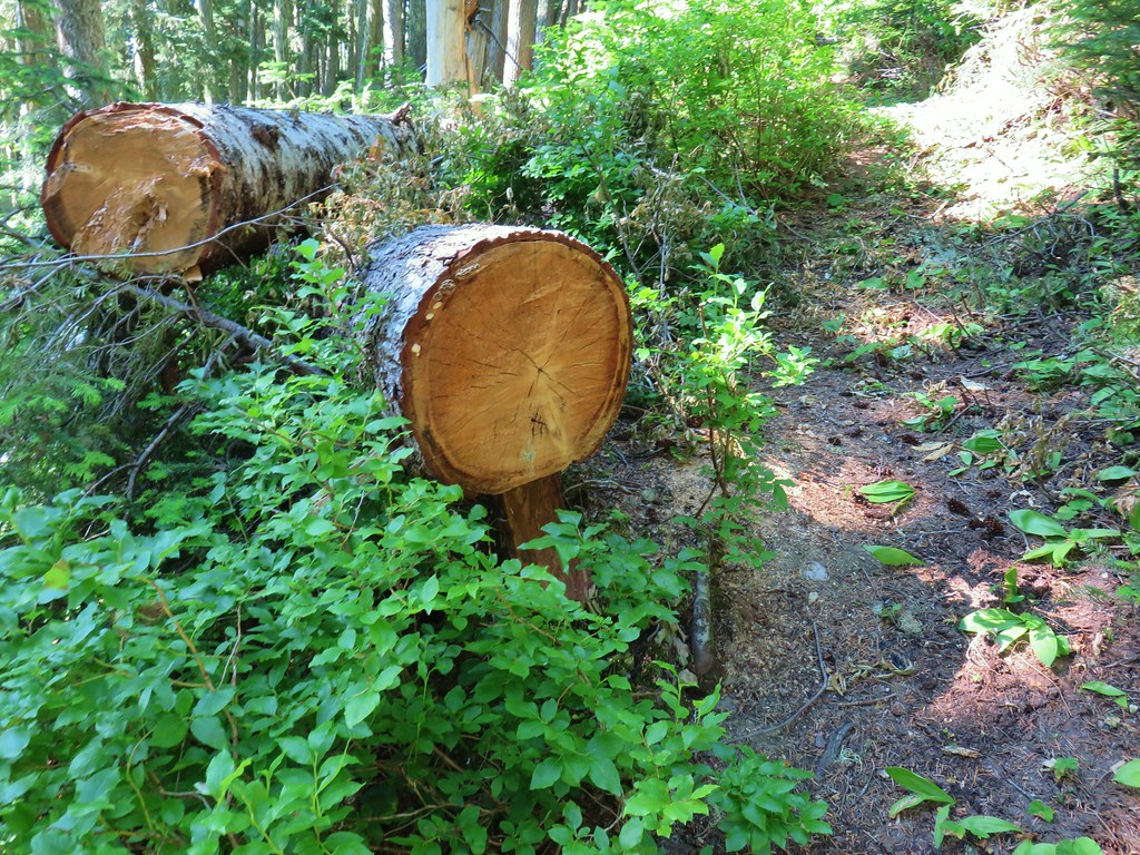
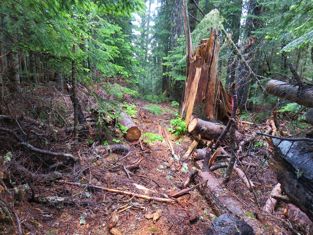
Flagging was present along most of the route. Here the trail is crossing a decommissioned logging road.

Bunchberry


Flagging at the point where the trail rejoined FR 4670.
For the next two tenths of a mile we walked along FR 4670 before spotting the resumption of the Rho Ridge Trail on the left side of the road across from a dirt spur road.


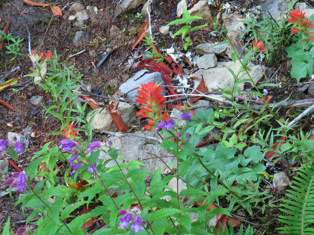
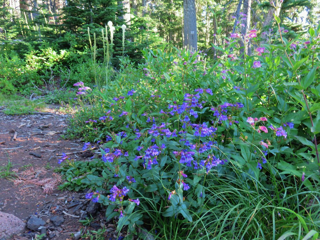
Paintbrush and penstemon

Continuation of the Rho Ridge Trail.

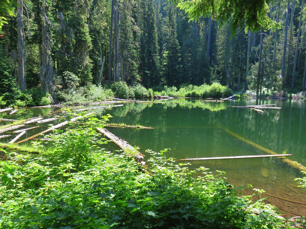
The dirt spur. This road leads to a few campsites and the Rho Creek Trail which is not shown on maps but is sometimes maintained by the Trail Advocates and is on our bucket list to check out some day.
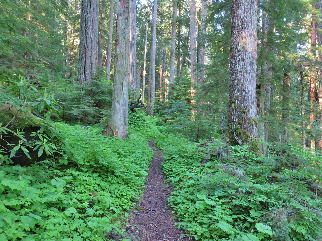
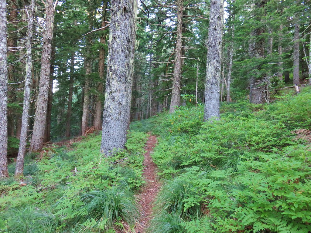
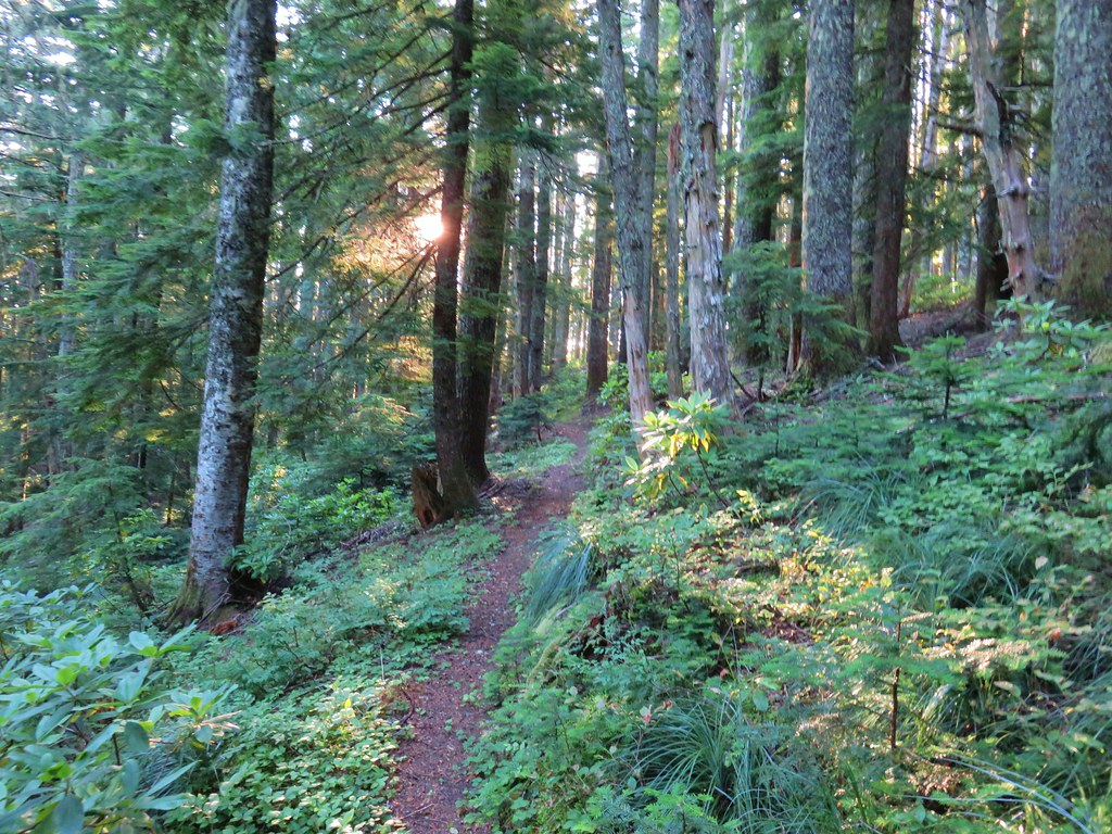
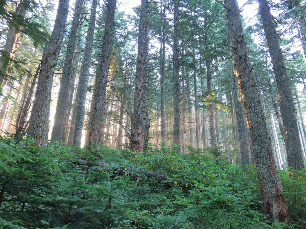
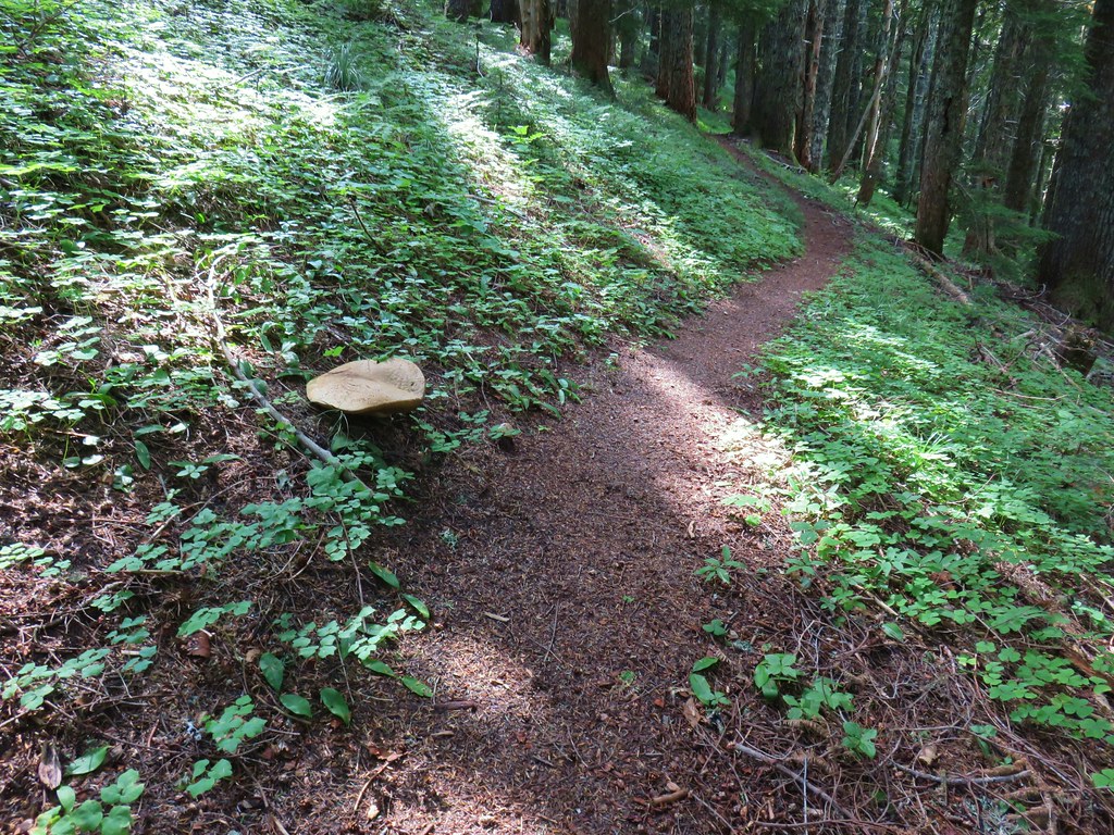
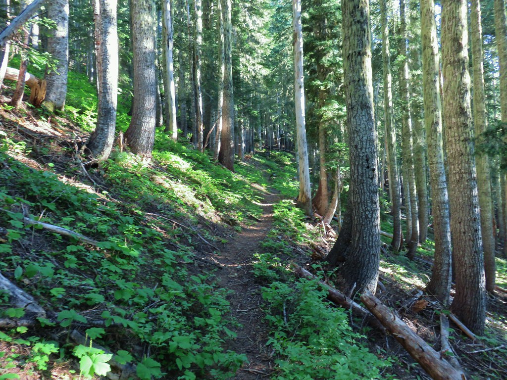
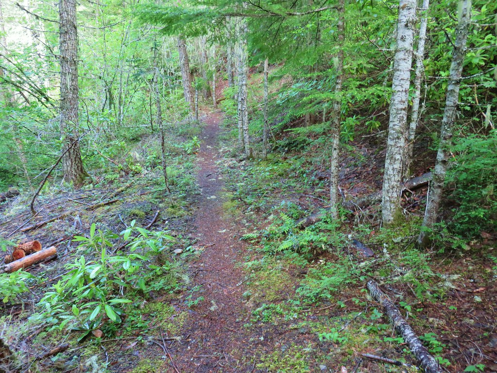
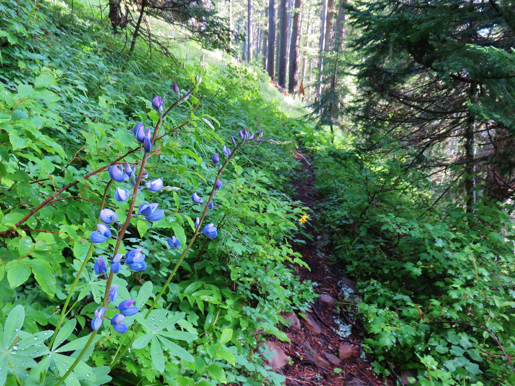
The Rho Ridge Trail was in relatively good shape albeit a little overgrown in places. There was also some occasional blowdown, but it was all easy to either climb over or go around.


Pacific coralroot

 Arnica

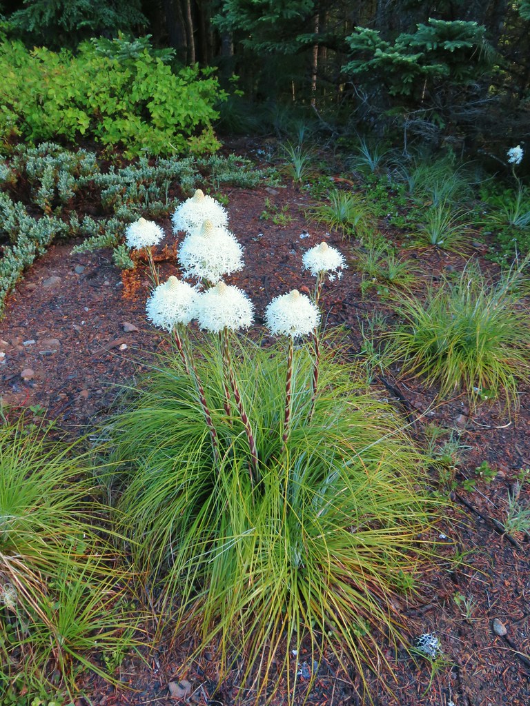
Beargrass

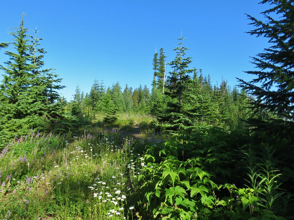
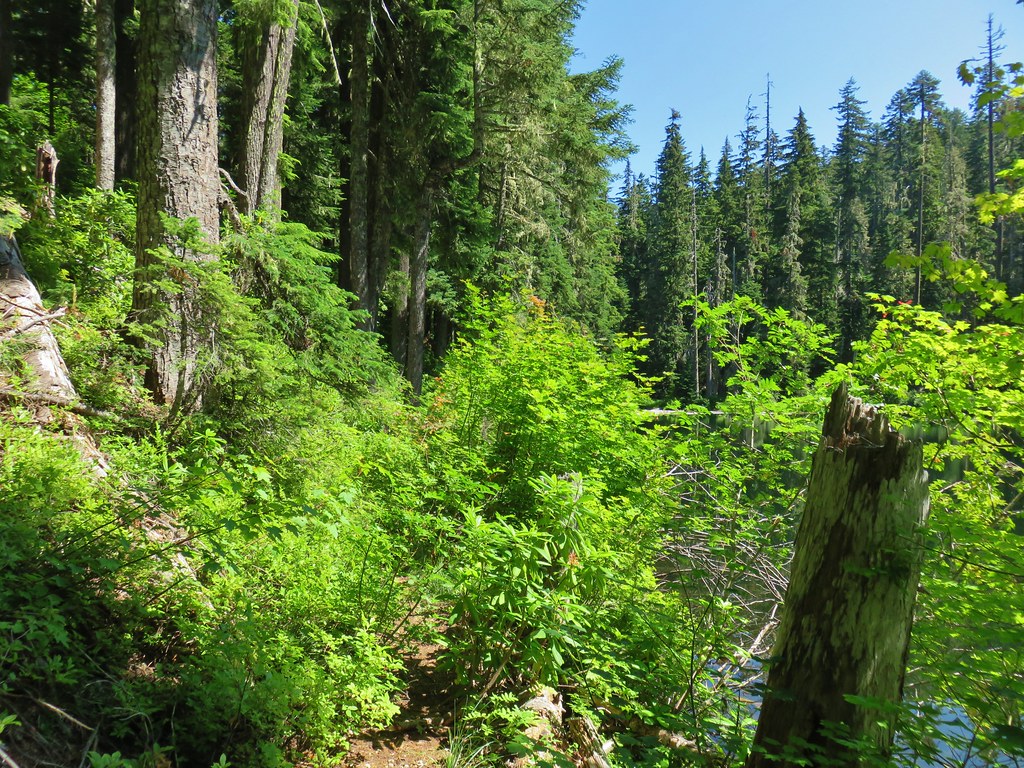
After a short climb the trail lost a little elevation as it dropped into a lovely forest before nearing FR 4670 again.


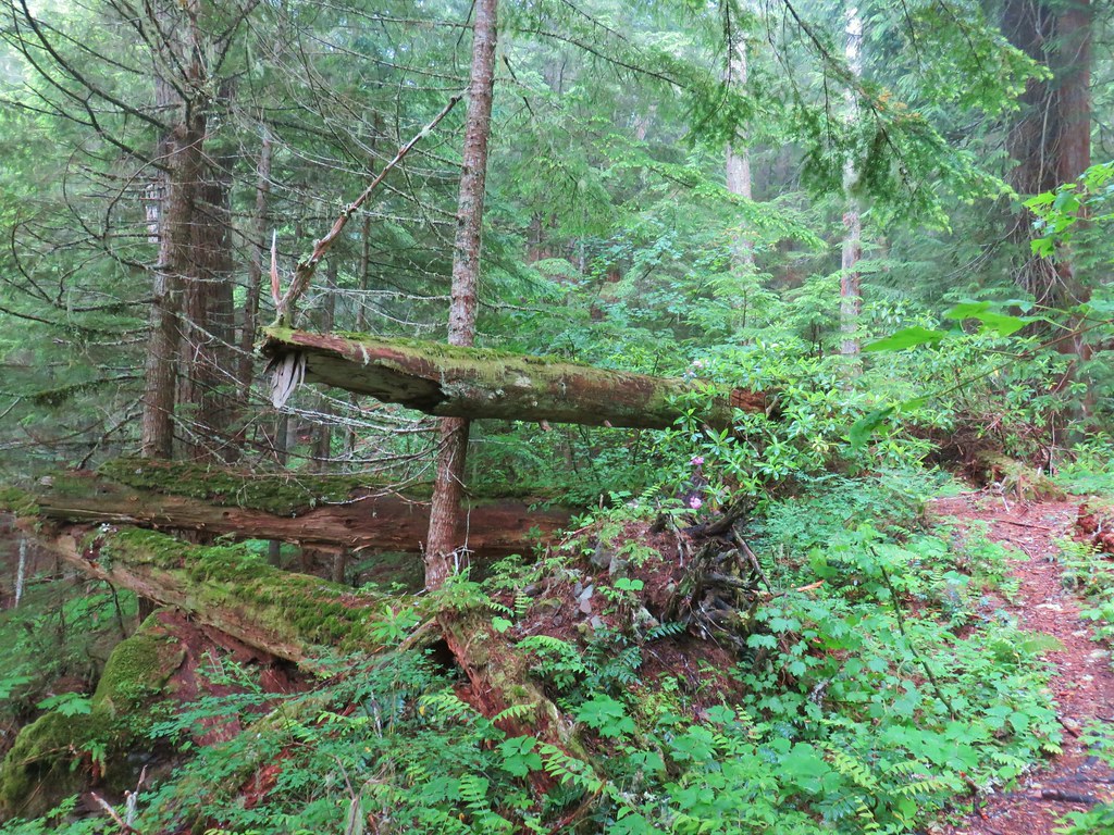
This was one we had to go around.

Beardtongue
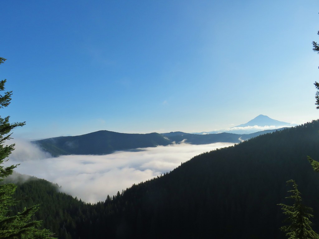
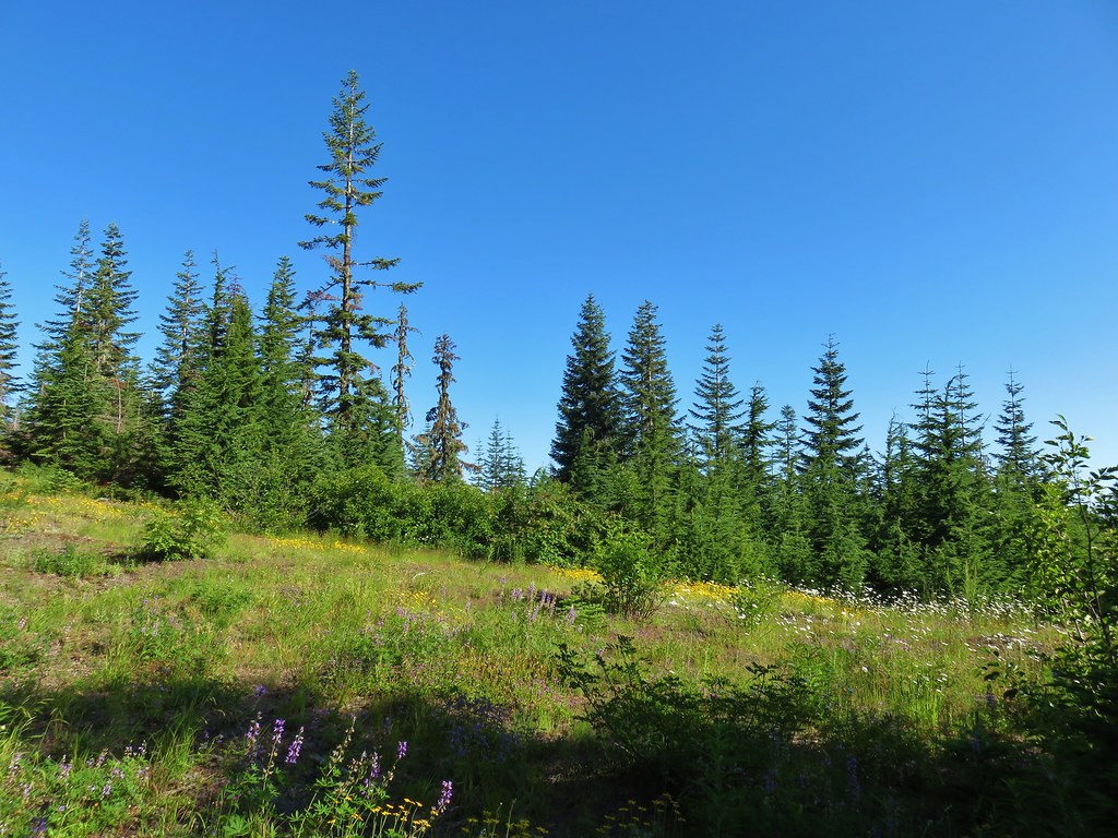
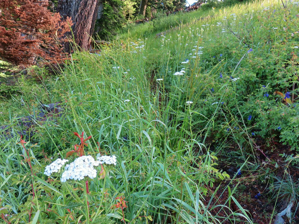
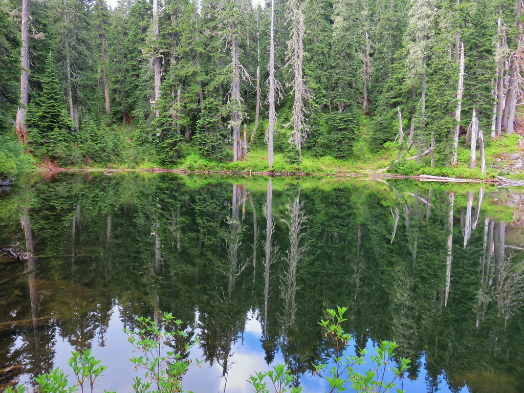
We came to an open rocky section of the ridge covered in wildflowers as the trail neared FR 4670.

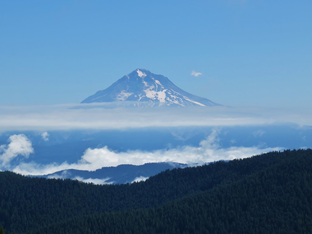
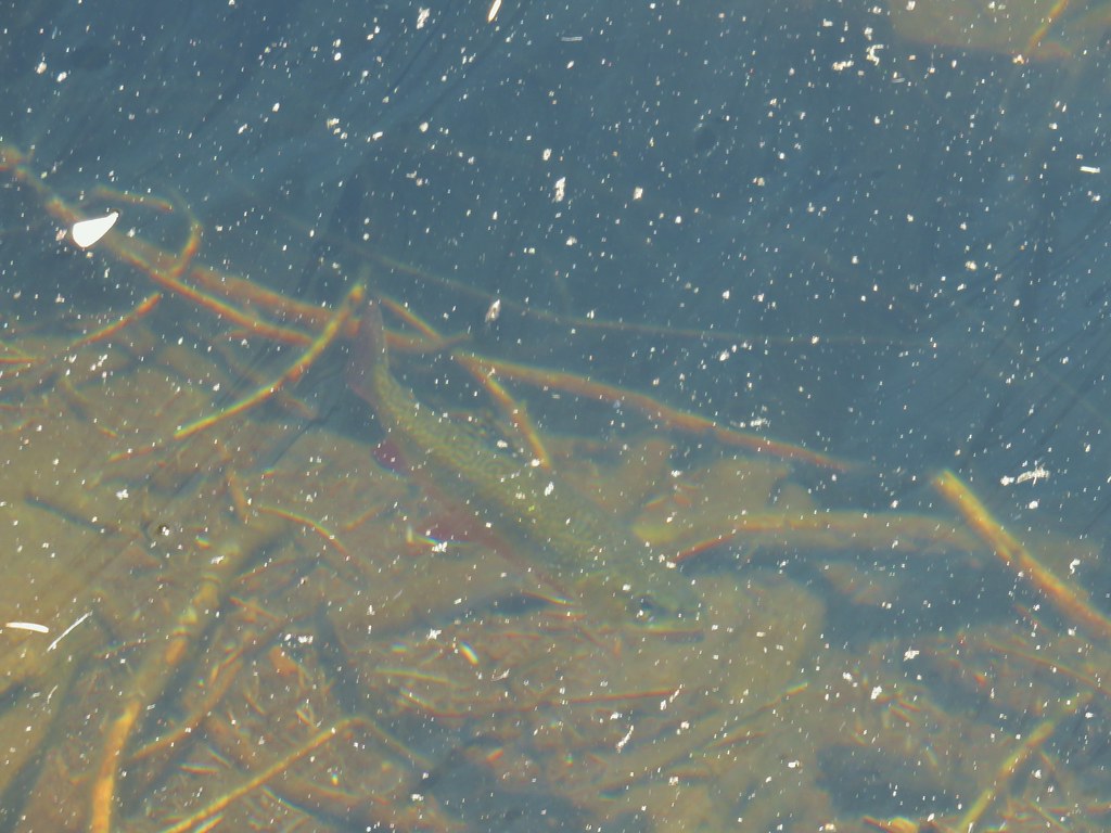
Mount Lowe from the trail.

Columbine

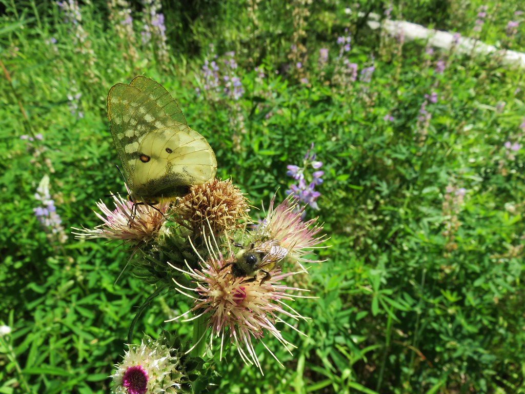
Paintbrush, lupine, penstemon, and false sunflowers.

Larkspur hiding in the grass.

Yarrow and paintbrush

Bleeding heart

Catchfly

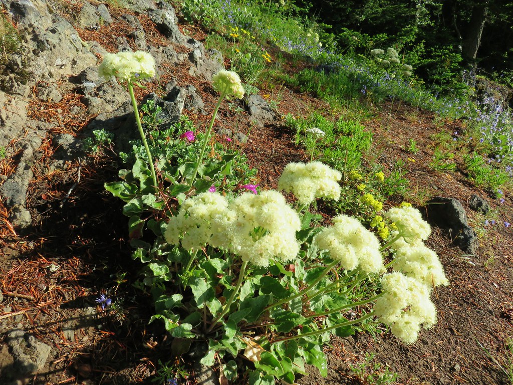
Arrowleaf buckwheat and sunflowers.

Penstemon

FR 4670 from the trail.

Wallflower, catchfly, and penstemon.

FR 4670 and the Rho Ridge Trail (to the right).

Sub-alpine mariposa lily

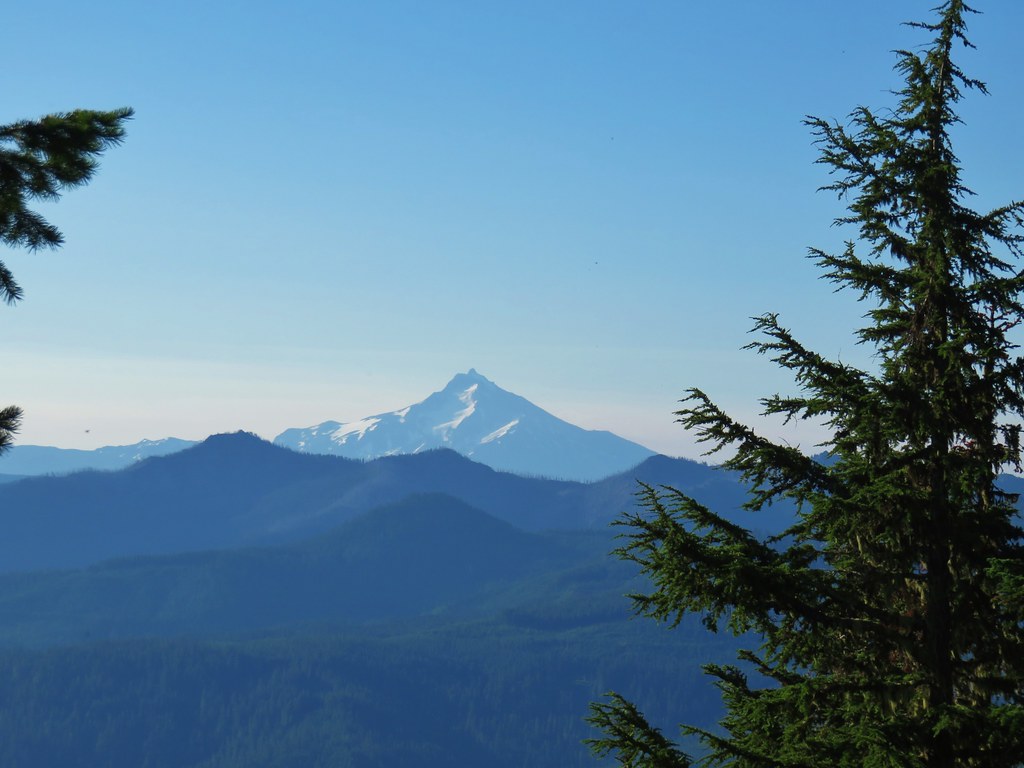
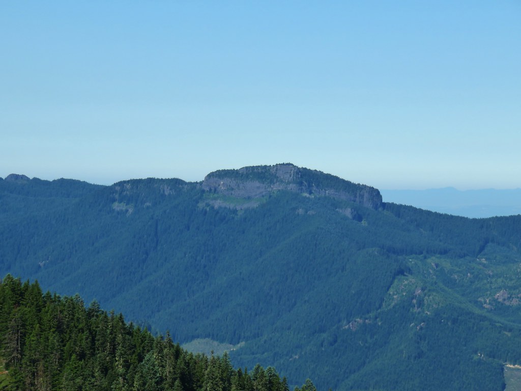
Sisi Butte (post)

Barestem buckwheat

Sisi Butte in the center with Olallie Butte to the right (post).

Olallie Butte

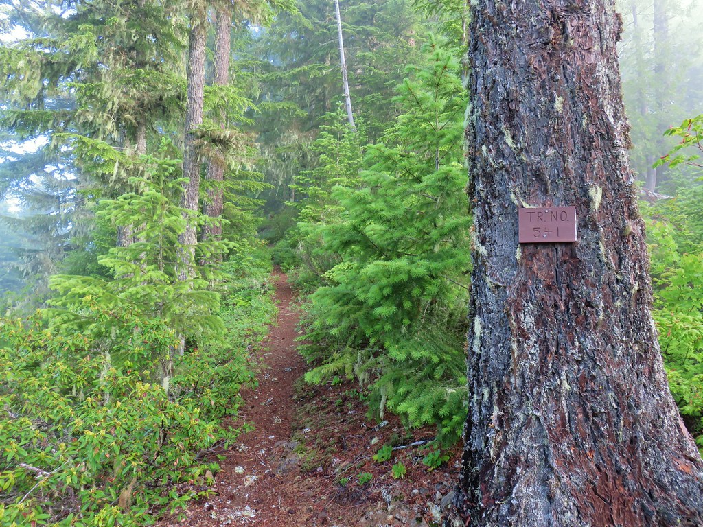
Trail sign facing FR 4670.
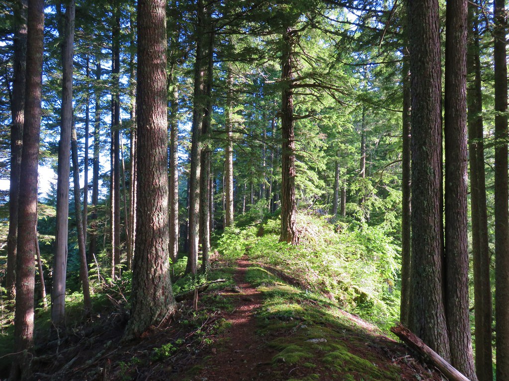
The trail began to climb again from here gaining a little over 400′ in just under a mile to the summit of Mount Lowe.

Washington lilies along the trail. These beautiful flowers are also by far the best smelling flowers that we encounter on hikes.

False sunflowers

Washington lily

Serviceberry

Snowberry

Thimbleberry

Larkspur

Rainiera, Lyall’s angelica, and columbine


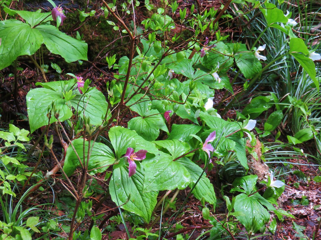
Anemone’s and a queen’s cup

False sunflowers

Bastard toadflax

Blue-head gilia

Vetch

Red-flowering currant

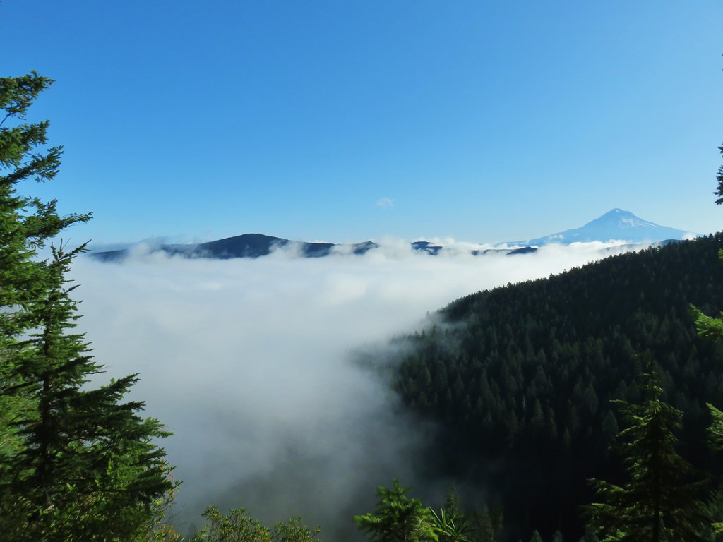
Sisi Butte, Oallie Butte, and Mt. Jefferson

Mt. Jefferson

Sticky currant


Better view of Mt. Jefferson.


Scarlet gilia

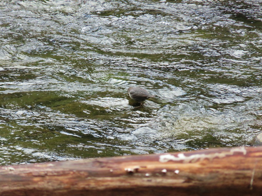
Junco

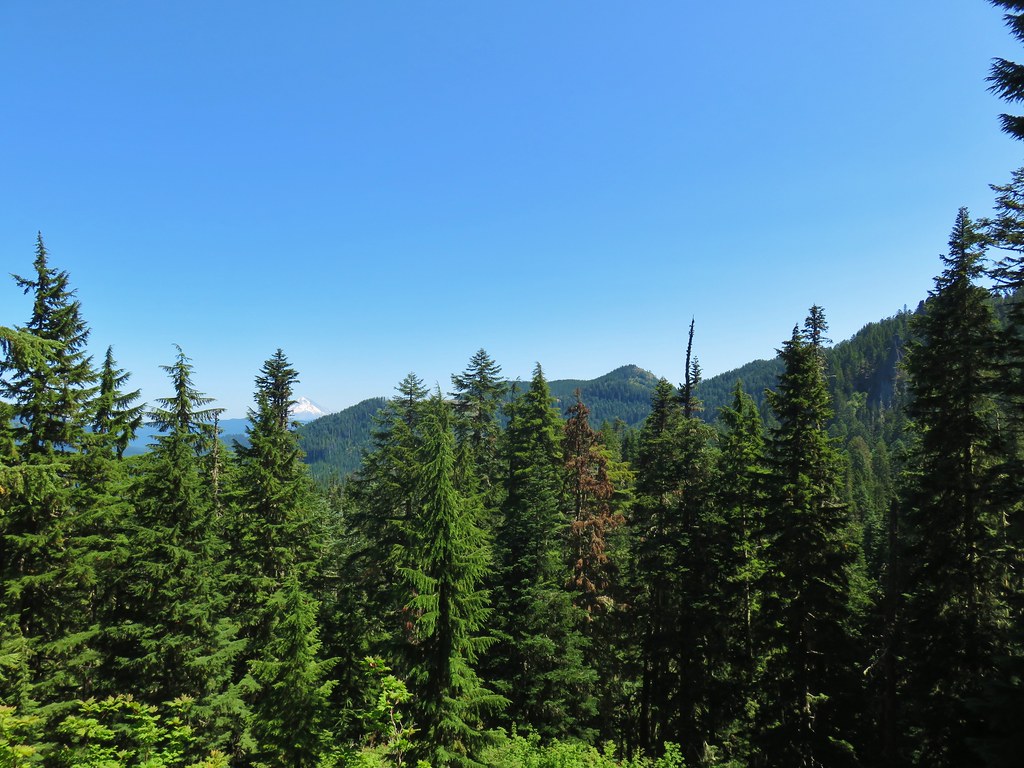
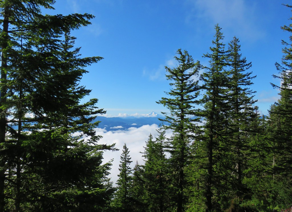
First view of Three Fingered Jack, Mt. Washington, and the Three Sisters.

Three Fingered Jack, Mt. Washington, and the Three Sisters.


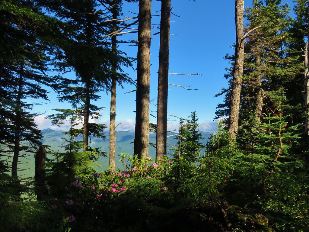
The trail passed below a talus slope where there may have been a view of Mt. Hood, Mt. Adams and Mt. Rainier had we scrambled up it, but we didn’t want to disturb the residents.

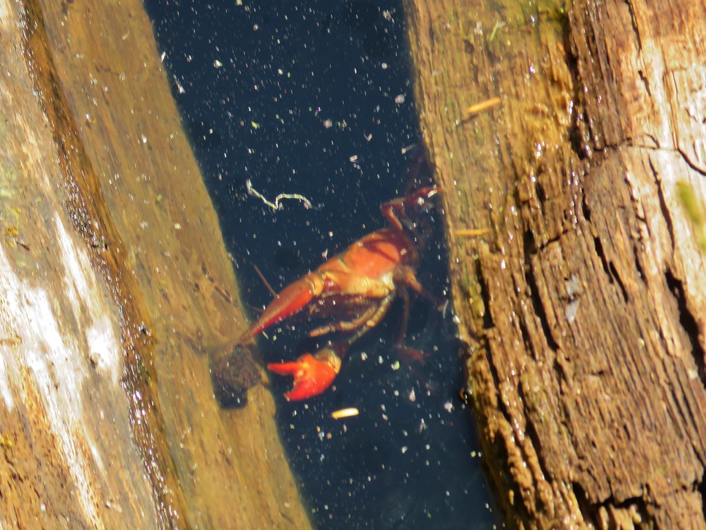
Pika near the top of the talus slope.

One-sided wintergreen


Mt. Hood

View to the west above another pika filled talus slope.

Schreiner Peak, Knob Peak, Big Slide Mountain (post), and Bull of the Woods (post) in the Bull of the Woods Wilderness.

Spur trail to the summit on the left.


Paintbrush and penstemon

Windbreaks near the former lookout stie.

View west towards the Bull of the Woods.

View South toward Mt. Jefferson and the Central Cascades.

Bachelor and Coffin Mountains (post).

Broken Top poking up on the far left with Three Fingered Jack, North Sister, South & Middle Sister, and Mt. Washington.

The view North included Mt. Adams (center between the tress) and the tops of Mt. Rainier and Mt. St. Helens but those would not show up in photos.

Subalpine fir cones

Douglas fir cones.

Stonecrop

Penstemon
After a nice break at the summit we headed back down from the summit and followed the Rho Ridge Trail back to FR 4670.

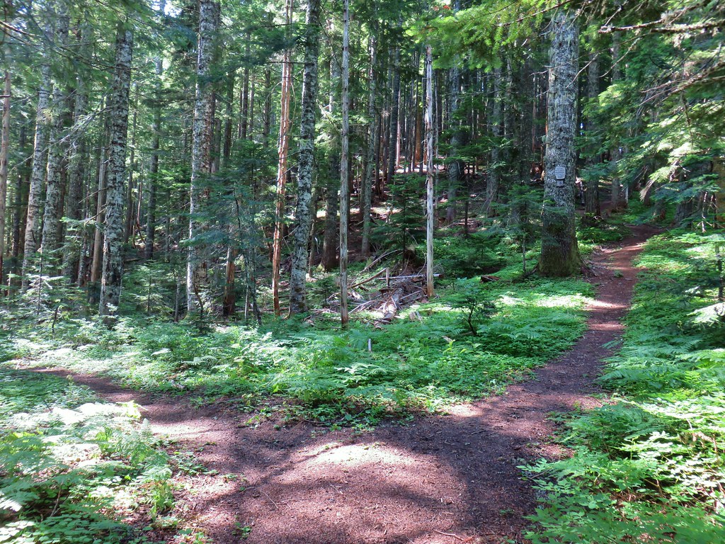
The Rho Ridge Trail continues left at this fork below the summit another 1.5-miles to a northern trailhead.

Orange agoseris

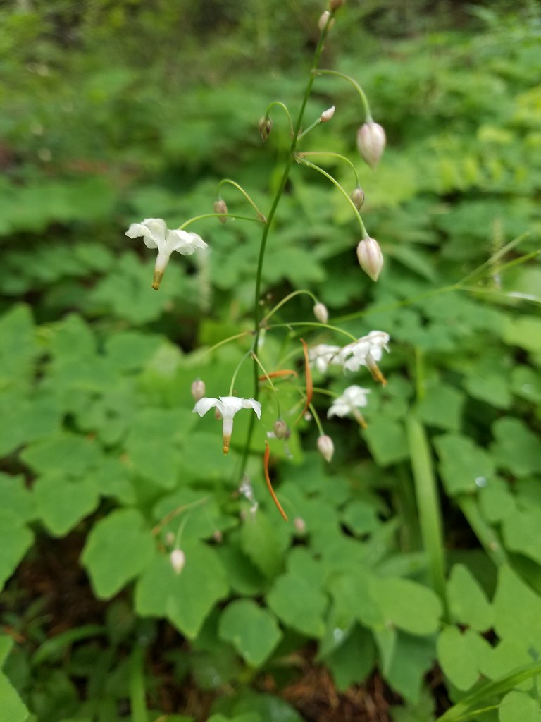
Star-flowered solomonseal

Phacelia

Rainiera

Vanilla leaf

Rose

Oregon bedstraw

Arriving at FR 4670.
We decided to detour here and check out a little of the Rho Creek Trail so we crossed FR 4670 and turned onto the dirt spur road.

We weren’t entirely sure where the trail began and there were a few spurs to campsites. We simply picked one and then headed cross country from it looking of any sign of tread or flagging.


The cross country was fairly easy and we were able to use our GPS and the map we’d downloaded from the Orgon Hikers Field Guide to pick up the tread.

The trail was in surprisingly good shape and we followed it downhill a little over a quarter of a mile to an unsigned junction.


The unsigned, but flagged, junction. Here the Rho Creek Trail turned left while the right-hand fork was said to lead to the remains of the Rho Ridge Guard Station.
The remains had been our goal for this brief detour so we went right.

Valerian

Flagging marking the trail.

More flagging marking the route.

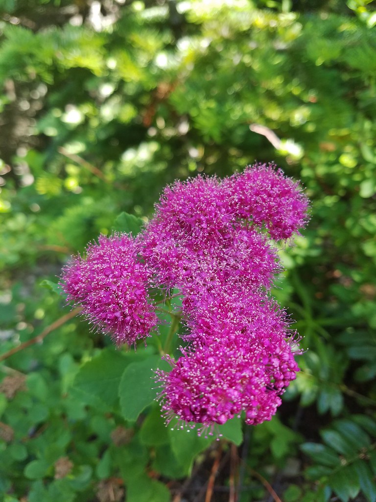
Spirea
Somehow we never spotted the guard station remains, but the flagged route continued and theoretically would lead us back to Graham Pass so we just kept following the flagging.


Rhododendron
The tread got pretty faint the closer we got to the Rho Ridge Trail but the flagging made the route obvious enough.


We eventually popped out onto the decommissioned logging road just 100′ from the Rho Ridge Trail.

We turned right here and then left onto the Rho Ridge Trai and 500′ later were back on FR 4670.

With the detour our hike wound up being 7.4-miles with approximately 1600′ of elevation gain.

The hike to Mount Lowe was a really great one. There were views, flowers, wildlife and solitude. The trail itself was in good enough condition to not make the hike challenging while adding a feeling of it being a little wild. While we missed the remains on our side-trip the experience with the Rho Creek Trail encouraged us to get back there and hike more of it. Maybe next time we’ll locate the old guard station. Happy Trails!
Flickr: Mount Lowe

 The small blue sign on the left provides the pay by phone information. This was one of two such signs in the parking area.

 Little Joe Creek
 The pointer to the right was for the Sandy and Salmon Rivers (.25 miles) while continuing another .18 miles would bring us to the Sandy Ridge Trail System.


 Start of the Falls Looop.
 Primitive Trail number 2 with the Falls Loop continuing to the left.

 This was a nice little cascade this time of year. Later in the Summer the flow reportedly drops down to a trickle.
 The self-guided nature tour follows the Northern Loop Trail here as well.
 Passing stop #6 on the self-guided tour (Forested Headwaters).
 One of the creeks flowing from the forested headwaters.


 There are a few Eagle Creeks in Oregon, this is the Eagle Creek that originates in the Salmon-Huckleberry Wilderness (


 Snow queen
 One of several switchbacks.
 Rough-skinned newt and snow queen.
 Closer look at the newt.
 Blue sky
 Traversing the hillside.
 The trail below as we neared a switchback to begin descending.


 Viewpoint near the end of the loop.
 The start of Loop D from Kitzmiller Road.
 The remains of former signs can be seen at the split ahead.
 The trail made a steady climb to the junction with the supposed Lollipop Loop.
 The lower portion of the tree across the switchback.
 Left is the continuation of Loop D. We stayed right to attempt the Lollipop Loop.
 There were some cut trees along the trail mixed with more recent blowdown but nothing was particularly difficult to navigate.
 Wren
Wren There was a lot of snow queen.
 The footbridge with a large tree across it.
 Look back along the bridge.
 The older blowdown had all be cut.
 I made it through this muddy mess but couldn’t find any sign of tread on the opposite side.


 Swagger Creek
 Song sparrow (according to Merlin)

 The second unsigned junction.


 Swagger Creek (right) joining Clear Creek at the suspension bridge.
 The Nature Trail wasn’t signed other than some “No Motor Vehicles” signs.
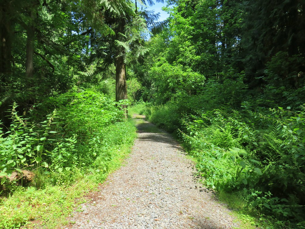
 The old roadbed.
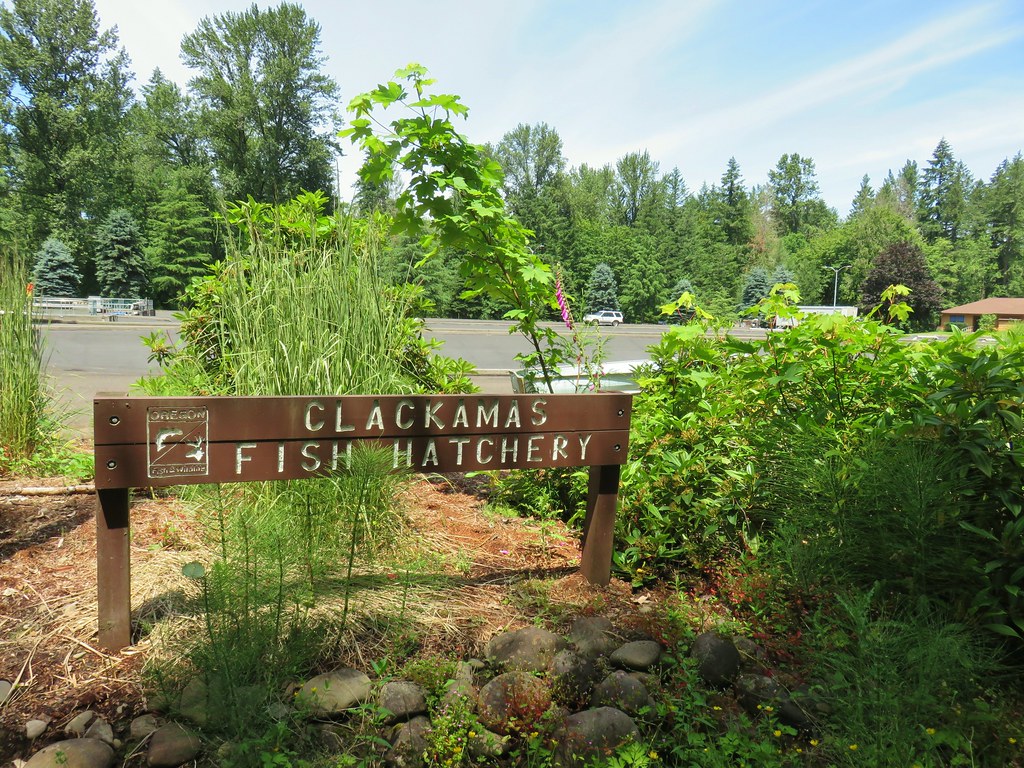
 Relative locations of the three stops plus Milo McIver from our previous outing.


 McIver Memorial Viewpoint
 Clackamas River from the viewpoint.
 The small trail sign on the left is labeled “Viewpoint Trail”.
 Map on the signboard. Oddly the Viewpoint Trail is not shown on this map even though the trail continues past the signboard.
 The Vortex Meadow through the trees.


 Former model airplane landing strip in the meadow.

 There were some limited views of the Clackamas River from this trail.
 While we were happy to see trail signs again it was a little confusing to see the Riverbend Trail pointer here. Here again the maps that we had did not show this junction. They did show a 4-way junction between the Riverbend Trail and Vortex Loop but only after crossing a road which we had not done.


 Viewpoint near the group camp.

 Had we not backtracked through the group camp we would have connected with the Riverbend Trail after crossing a road then turned right on the Riverbend Trail, recrossed the road, and arrived at this junction on that trail which was now on our left.


 Stellar’s jay

 We stumbled on a one-leg standing competition that the local geese were engaged in.
 The mallards seemed unimpressed with the geese’s balancing abilities.
 Common mergansers


 Common merganser drake
 We found this nice little bridge wandering around the disc golf course attempting to connect with the Maple Ridge Trail.


 The Cedar Knoll Trail connects the upper and lower segments of the Maple Ridge Trail. We stayed right on the Maple Ridge Trail.
 Colorful fungi
 Wood ducks on Wood Duck Pond. It’s pretty rare that the animal a feature is named after is actually present.


 Not sure if this is just the biggest rough-skinned newt we’ve ever seen or a different type of salamander.
 Great blue heron by a small pond. It was probably hunting the frogs that were croaking loudly here.
 The sign ahead is for the Cedar Knoll Trail joining from the left.
 Dropping down to the Riverbend Loop Trail junction.
 The Maple Ridge Trail makes another nearly 180 degree turn here and drops down to the parking area a short distance from its other end.
 We stayed right here again at a junction with a trail leading to the Maple Ridge Picnic Shelter.
 I believe these are sweet coltsfoot starts.
 There was a bench next to this nice little creek.
 Nearing the Riverbend Day Use Area entrance road.


 Song sparrow

 It’s hard to make out but there is a coyote in this photo.
 I have no idea what’s going on with this photo of the coyote as it was trotting away from us. Shortly after this it popped out from behind some brush and jumped into the air to pounce on something. That was the last we saw of it.
 Squirrel
 Left to right: Silver Star Mountain, Little Baldy, and Bluff Mountain (
 Mt. Hood making a partial appearance.
 We parked on the shoulder here and road walked three quarters of a mile to the official
  This is a good example of why we parked where we did.
 The official trailhead.


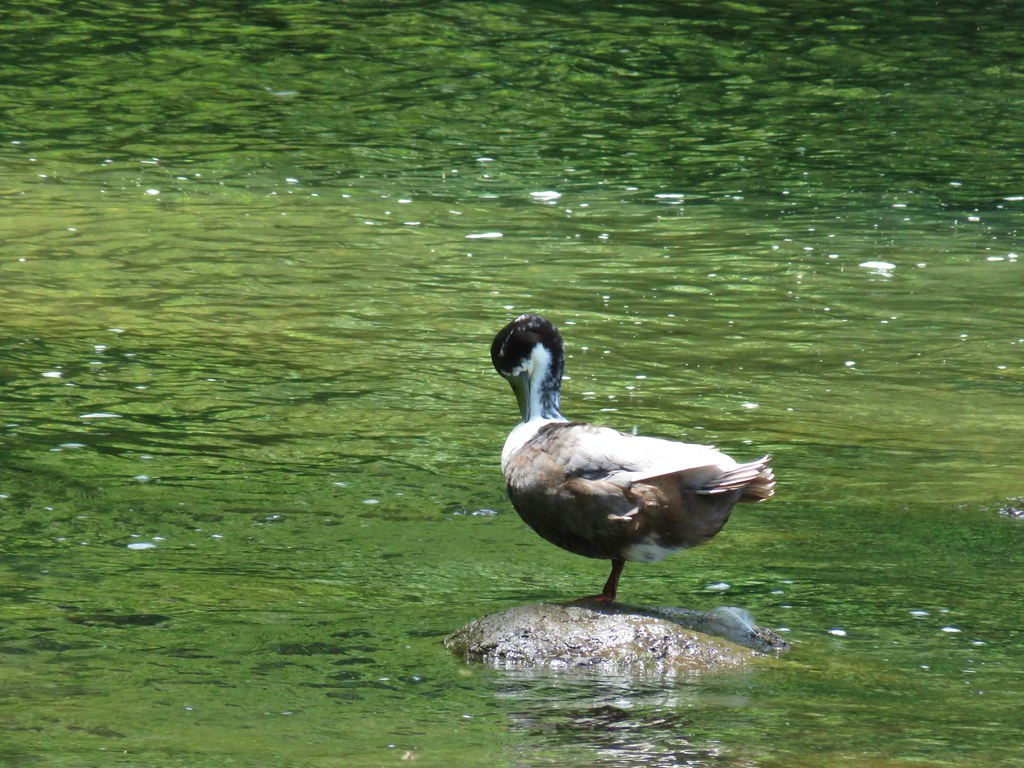
 A pair of Barrow’s goldeneye ducks enjoying a morning swim on the far side of the lake.
 The use trail
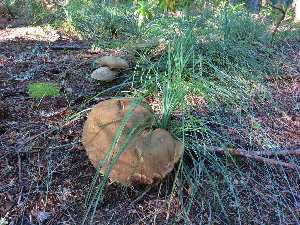
 Mushroom along the road walk back to the car.
 The somewhat obscured sign for the Anvil Lake Trail along spur road 5800-160.
 The pullout where we parked.


 The edge of Black Wolf Meadows.
 Sign in Black Wolf Meadows.


 The trail leaving the meadows.
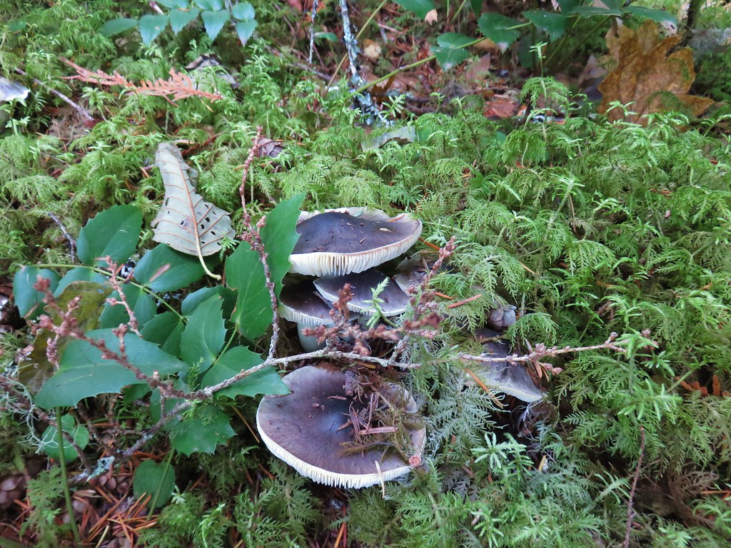
 More mushrooms
 Rough-skinned newt

 Old sign near Anvil Creek.
 The dry bed of Anvil Creek.
 Coral fungus
 The sign for the spur trail ahead on the left.
 Pointer for Anvil Lake. According to the Oregon Hikers Field Guide this sign is likely over 50 years old based on the reference to S-502 which is currently known as FR 5820 which is another potential
 Anvil Lake


 Mt. Hood from the pullout.


 The road continuing to the left.
 Olallie Butte (
 Mt. Hood with Mt. Adams behind to the left.
 The view south toward Mt. Jefferson.
 Heather is the orange dot climbing up the side of the outcrop.
 Mt. Hood from the saddle.
 Signal Buttes is the pointy peak on the left and Salmon Butte (
 Salmon Butte now in the middle with Linney Butte the hump on the right of the double humps in the foreground and Devil’s Peak (
 Linney Butte, Devil’s Peak, Mt. Adams in the distance, and Mt. Hood.
 Wolf Peak in the foreground which is above Black Wolf Meadows.
 Mt. Jefferson from the former lookout site.
 Peaks in the Bull-of-the-Woods and Opal Creek Wilderness areas in the distance to the left and Fish Creek Mountain (
 The remains of the lookout on High Rock.
 A zoomed in shot of Mt. Adams.
 Mt. Rainier rising behind Devil’s Peak.

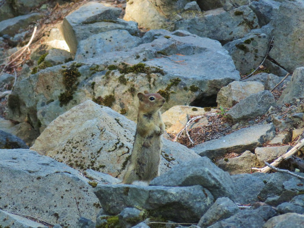
 The ground squirrel watching us as we passed below.
 Skipper along the road on the way down.
 Aster
Aster


 Rhododendron at the trailhead.
 Eagle Creek Cutoff Trail on the left just before the first steep climb.
 Salmon-Huckleberry Wilderness sign. I would be in and out of the wilderness several times on my route.
 Pictures rarely capture the actual steepness of the trails but the third of a mile past this trail sign had me wondering if I was going to be able to complete my planned hike.
 Starting the descent to the saddle.
 The
The  Coral fungus
 The Old Baldy Trail turns left here while the Tumala Mountain Trail continues straight.
 A small unreadable sign was the only identifier for the continuation of the Old Baldy Trail. I was a little concerned seeing blowdown on this trail from the junction but as it turned out the trail was in good shape and the trees that were down were easily stepped over.
 One of four switchbacks in the first 0.3-miles.
 Cat’s ear lily
 Cascade lily
 Oregon sunshine
 Larkspur & ?
 Paintbrush
 Bunchberry, not sure what is causing the white at the end of the leaves. I’d never noticed that before.
 Lupine
 View at the scree slope
 I’m pretty sure there were at least three pikas down there somewhere.
 Tumala Mountain in the center.
 From left to right is East Mountain, Thunder Mountain (
 Little prince’s pine
 Cascade lilies, a few lupine and a paintbrush.
 Carolina bugbane and foam flower.
 Spur trail from the Twin Springs Trailhead (Old Baldy East) on the right.

 Part of the foundation at the former guard station site.
 The old road.


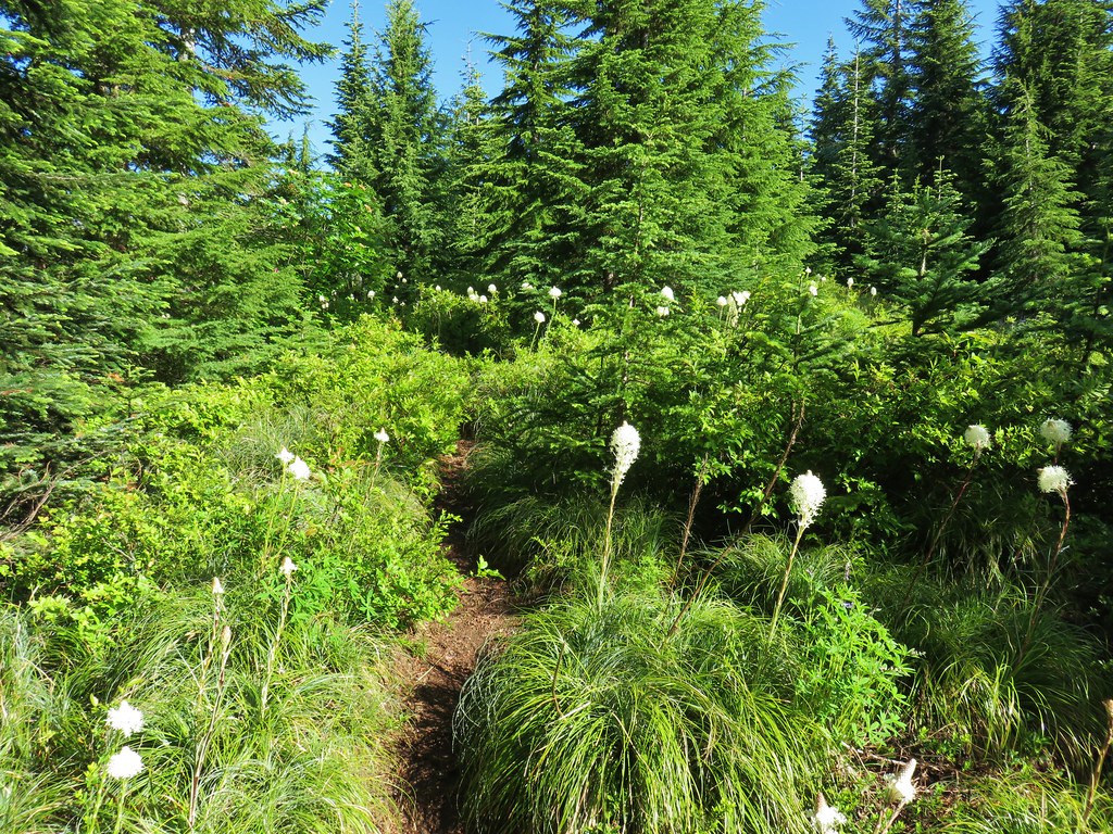
 Not a big beargrass year but there was a few blooming along the trail.
 I went up this trail to find it just immediately dropped back down to the Plaza Trail.
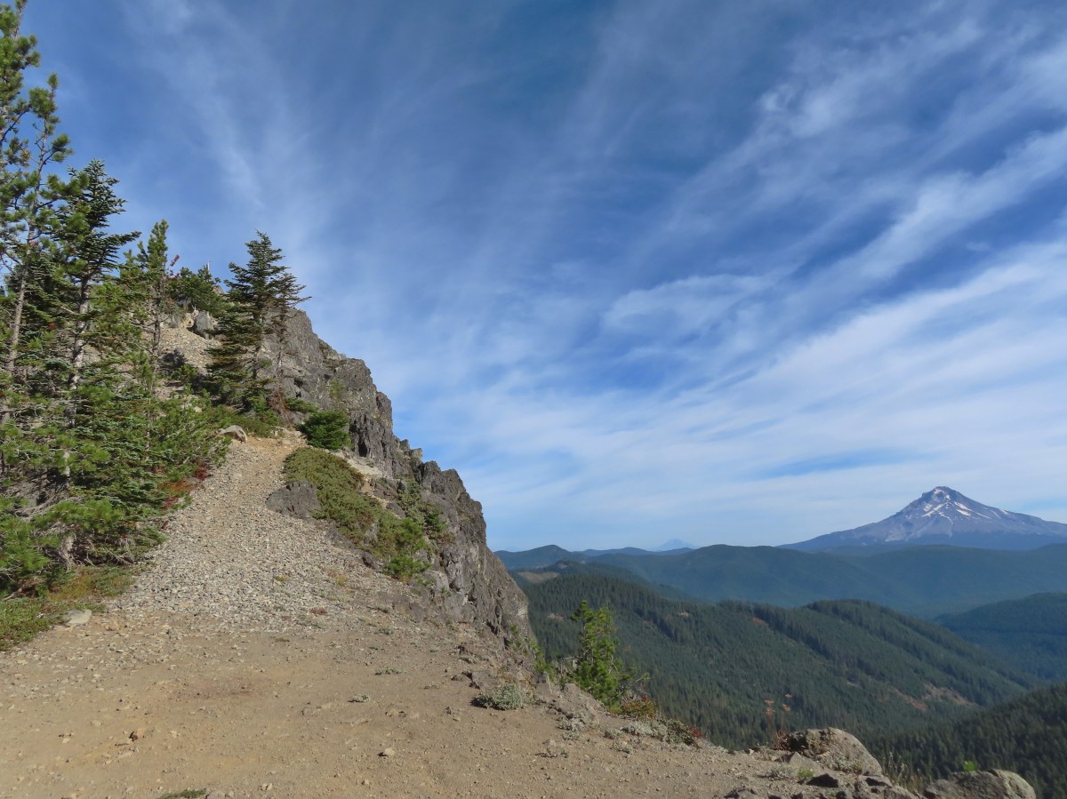
 The correct spur to Sheepshead Rock.
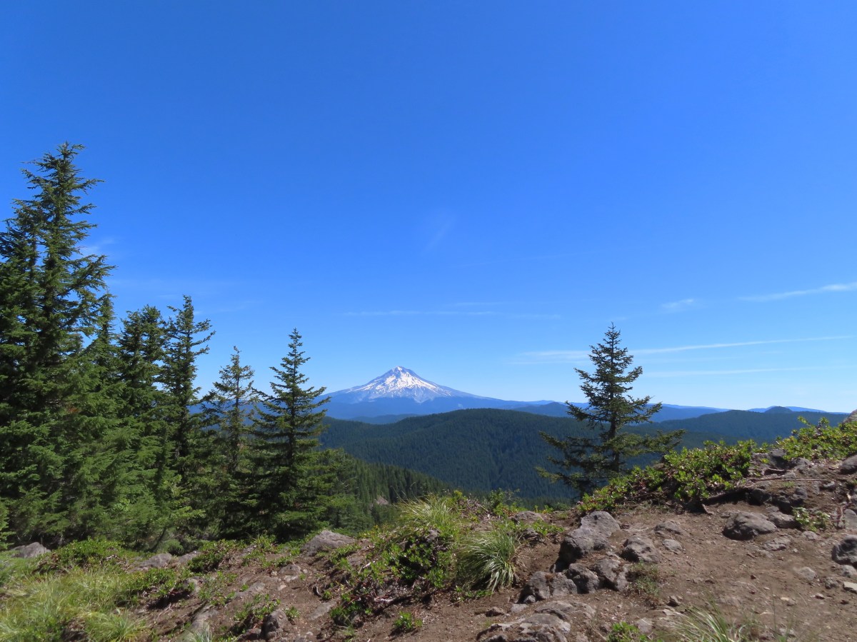
 Mt. Hood
 Mt. Adams and Mt. Hood
 Some light scrambling brought me to the top of the rock.
 Mt. St. Helens, Goat Rocks, and Mt. Adams in the distance. The high point to the left along the forested ridge is Wildcat Mountain (
 Mt. St. Helens
 Goat Rocks and Mt. Adams
 Mt. Hood with the South Fork Salmon River valley below.
 Orange agoseris
 Oregon sunshine and yarrow
 Saxifrage
 Penstemon
 Bluebells of Scotland

 Valerian
 Moth on an arnica.
 The Plaza Lake Trail sign on the left.
 View from one of the switchbacks.
 Pacific coralroot
 Bunchberry with the more familiar all green leaves.
 Plaza Lake below from the trail.
 Twin flower
 There were some nice big trees along the trail.

 Looking up from the lakeshore.


 I’d missed Mt. Hood on the way down.
 Mt. Hood
 Anemones
 Spirea and lupine
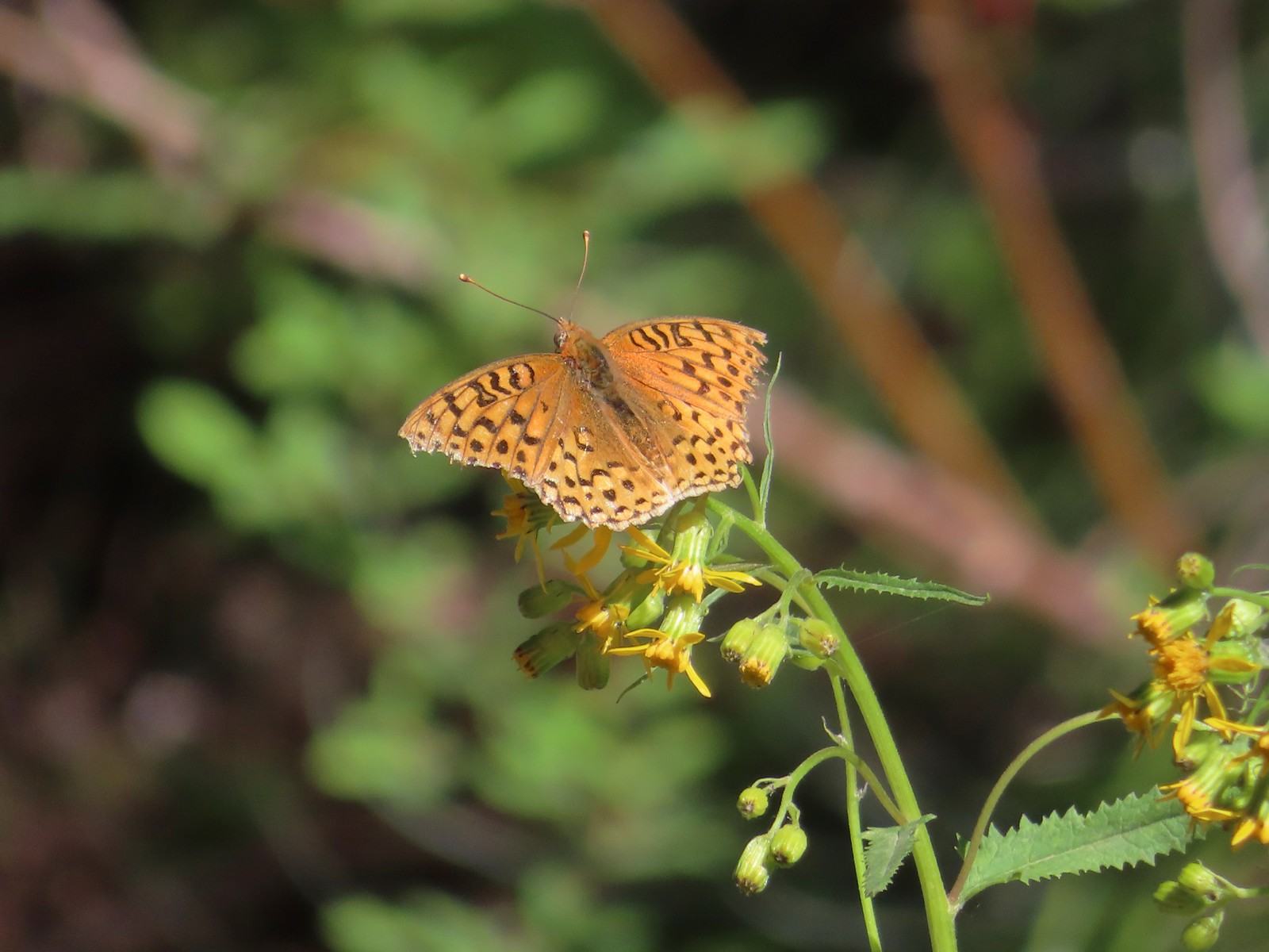 A fritillary butterfly.
 The former Twin Springs Campground was near the trailhead on the opposite side of FR 4610.
 The Twin Springs Trailhead.
 Old Baldy Trailhead sign at the Twin Springs Trailhead.
 Salmon-Huckleberry Wilderness sign (straight ahead) at the Old Bald/Plaza Trail junction.
 I stopped again at the scree slope to look for pikas. All was quiet as they apparently had retreated underground to avoid the heat, but with more light in the valley below I could make out a green meadow in the trees.
 Columbine along the trail.
 Grey jay
 Back at the Tumala Mountain Trail junction.
 My first view of Mt. Jefferson on the day.
 Mt. Jefferson
 A yet to blossom rhododendron.
 Fading lousewort and valerian.
 A blooming rohdodendron.
 Mt. Hood. The scree slope is also visible through the trees on the hillside to the lower right.
 Mt. Jefferson in the distance.
 Mt. Jefferson
 Three Fingered Jack and the Three Sisters
 More Cascade lilies.
 Mt. St. Helens in the distance.
 Mt. St. Helens
 A better view of the scree field and the meadows below Tumala Mountain.
 Penstemon and lupine.
 Passing the Fanton Trail junction on the way back.
 Looking at the final climb of the day from the saddle.


 Bunchberry
 Salmonberry
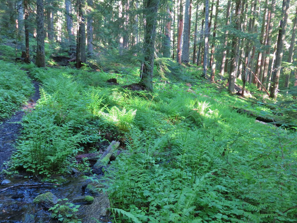 First little stream crossing.
 Another stream crossing, this one with skunk cabbage.
 Memaloose Creek crossing.
 Memaloose Creek above the crossing.
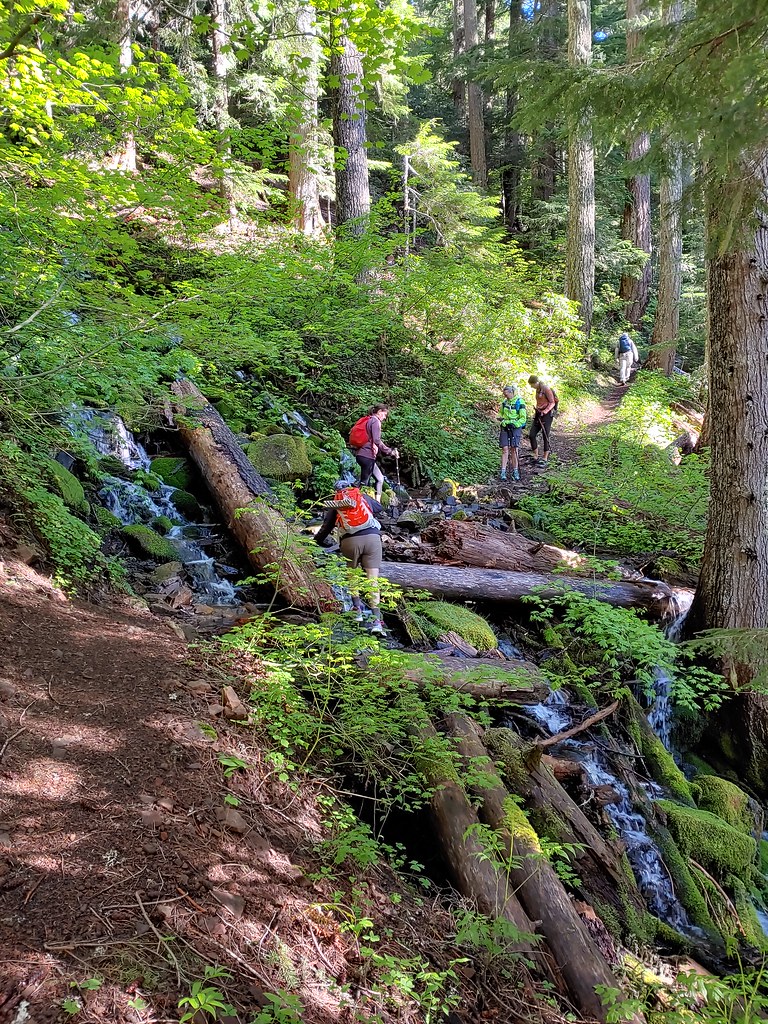
 Skunk cabbage, shooting stars, and marsh marigolds across the lake.


 Typical obstacles for the trail.
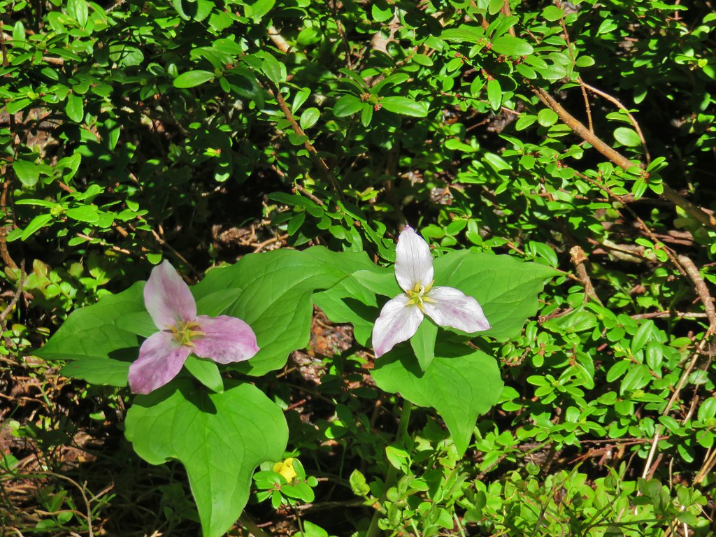 Trillium
 Mt. Rainier, Mt. Adams (with Goat Rocks the snowy patch just to the left), and Mt. Hood
 Mt. Rainier
 Goat Rocks to the left with Mt. Adams
 Mt. St. Helens
 Mt. Hood
 Mt. Jefferson, Three Fingered Jack, Broken Top, Mt. Washington, and the Three Sisters.
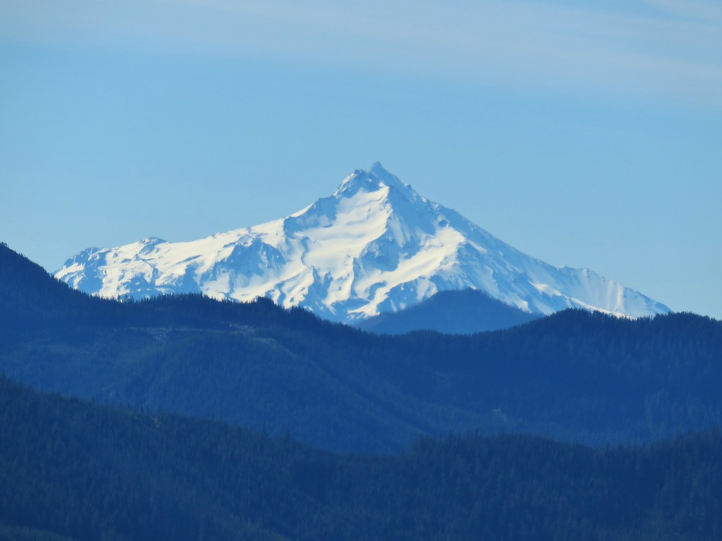 Mt. Jefferson
 Three Fingered Jack
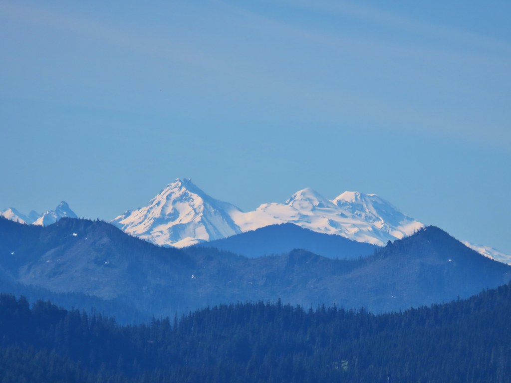 Broken Top, Mt. Washington, and the Three Sisters


 Red elderberries
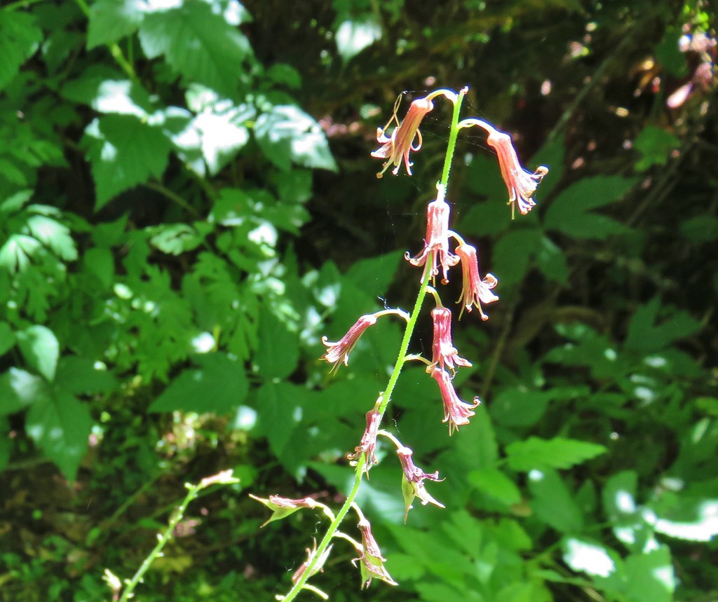 Youth-on-age
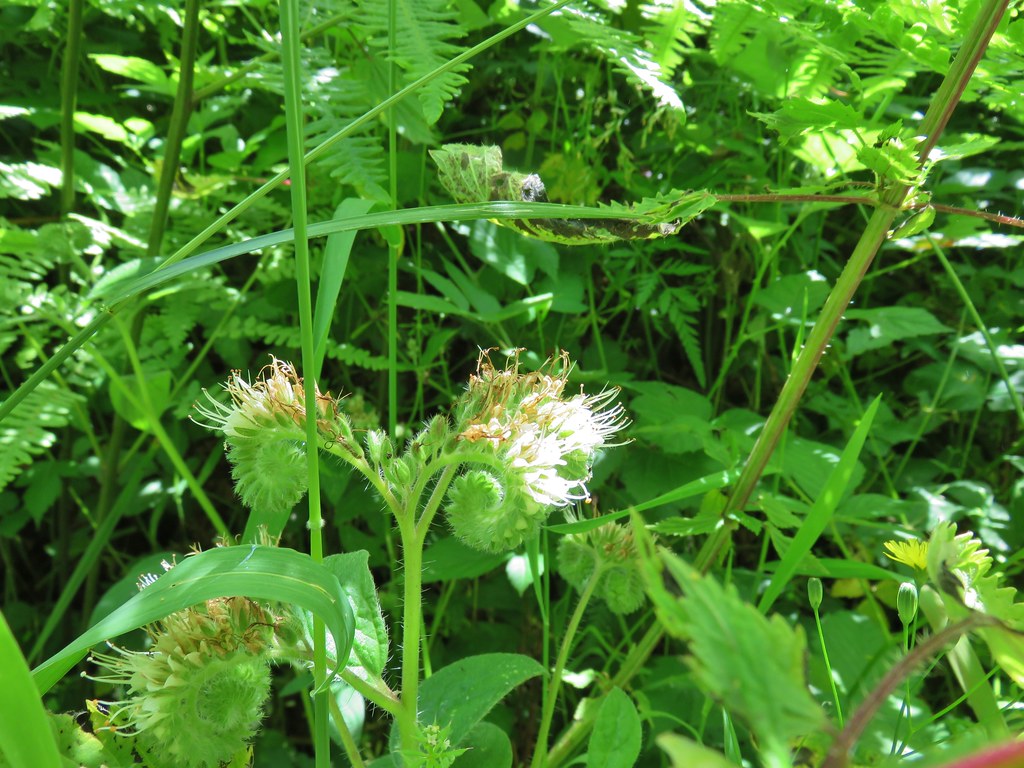 A phacelia
 Hedgenettle
 Tiger lily
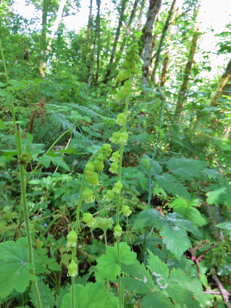 Fringecup


 Dragonfly near the pond.


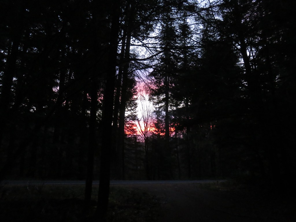 There was a nice sunrise while we waited for enough light.
 Alder Flat Trail at the trailhead.
 Passing the old beaver pond.
 Beaver pond from the former trail around it.
 The trail around the pond petered out on the far side of this log.
 Alder Flat Trail in the forest.
 Arriving at the campground.
 Swimming hole (It was a little too cold today.)
 Clackamas River at the Alder Flat Campground.
 The Rainbow Campground
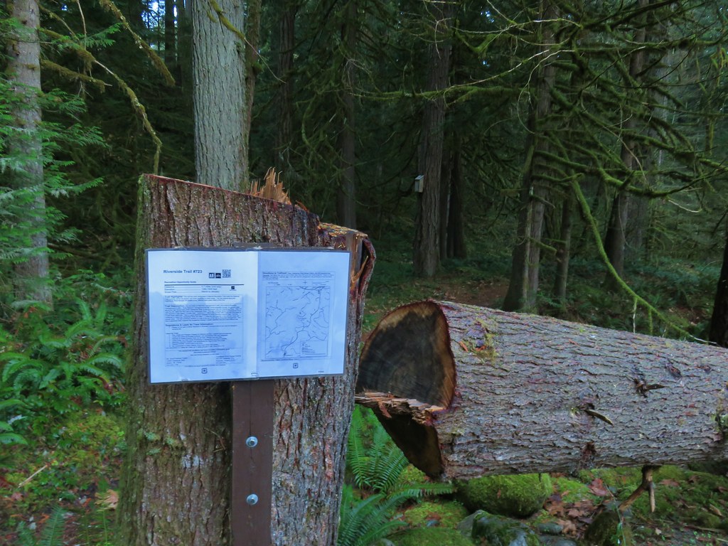


 In the forest for a bit.
 Viewpoint from above.
 Back in the forest.
 At the river.
 Sun peaking through the trees.
 one of several rock formations along the trail.
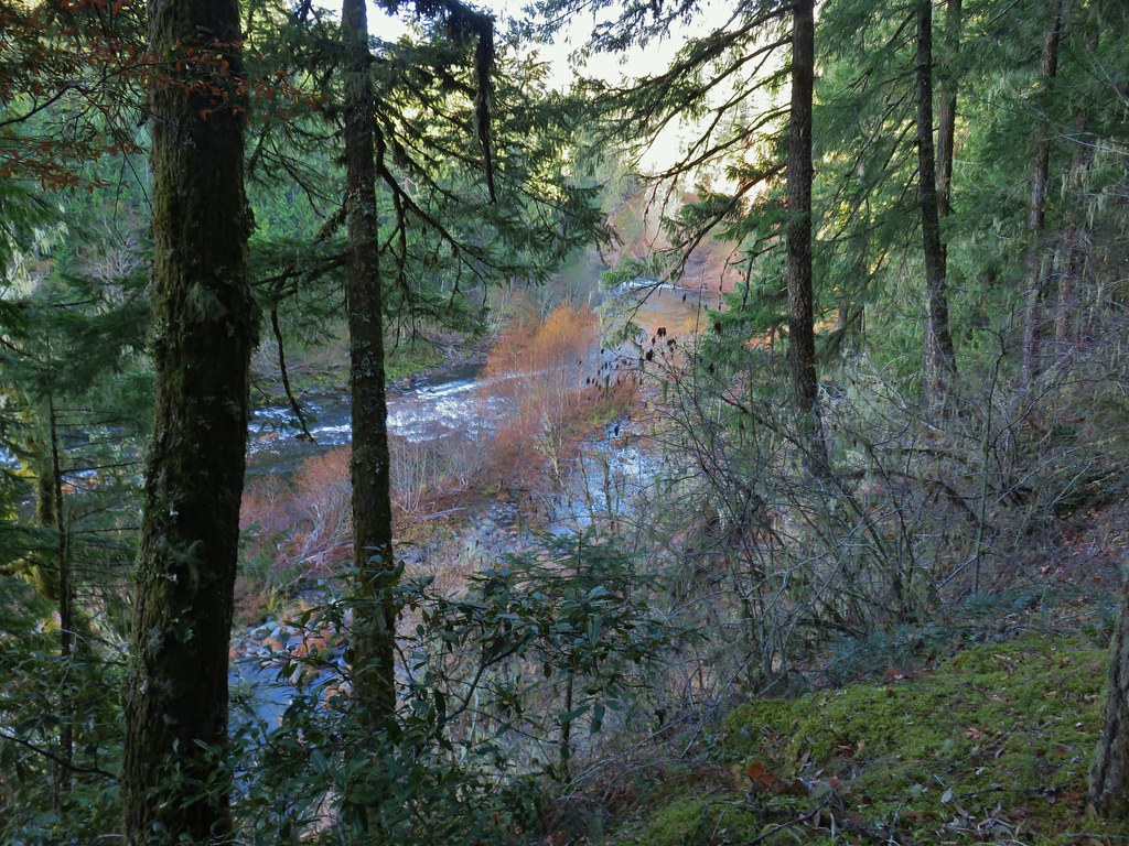
 Another view of the Clackamas.
 Side creek crossing.
 Back along the river.
 Rock pinnacle in the Clackamas River.
 Spur trail to the Riverside Trailhead.
 Viewpoint near the spur trail.
 Viewpoint near the spur trail.
 Another rocky beach along the Clackamas.
 Looking down river.
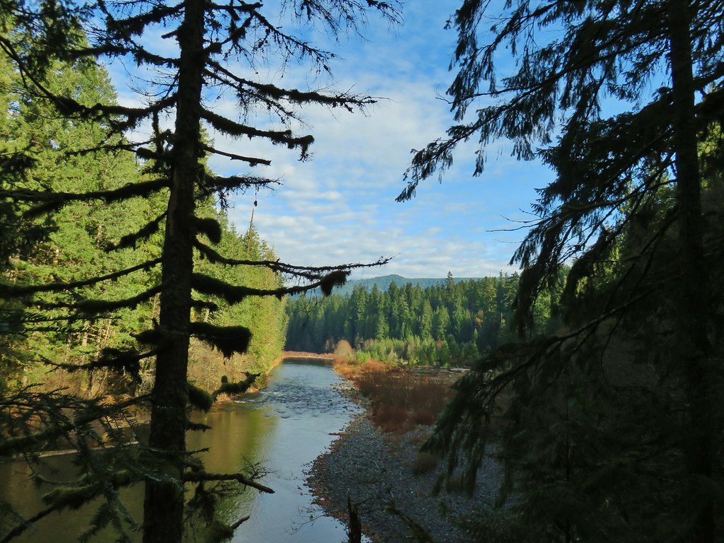 Now from above the rock beach.


 Clackamas River at the Riverside Campground.


 Wildcat Mountain (


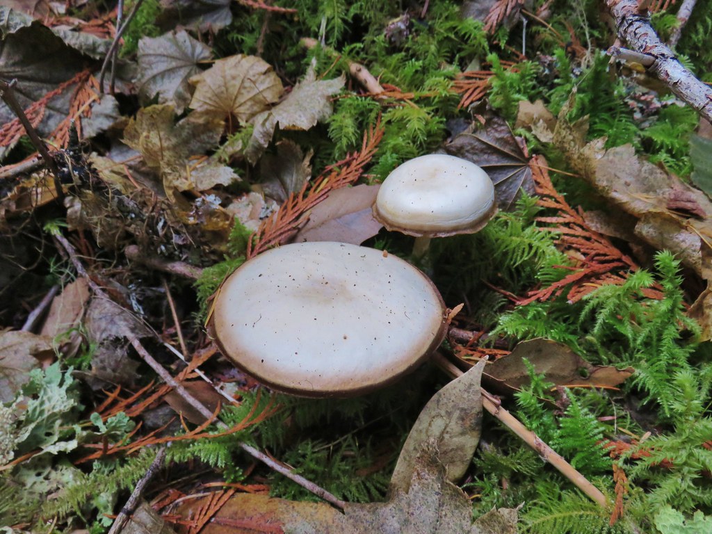
 Huge mushroom along the downhill.
 Fanton Trail coming up from the right.


 Three Fingered Jack and the Three Sisters even further south.
 Looking west into the cloud covered Willamette Valley.
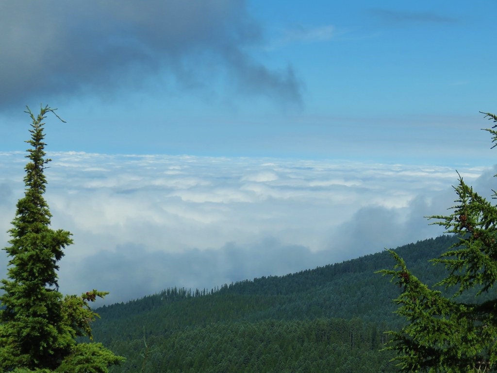
 Stairs to the former lookout.
 Mt. Hood from the former lookout site.
 Spur road leading to the trail from the pullout.
 Signage at the end of the closed spur.
 Thimbleberry crowding the trail.
 Devil’s club along the trail. We each had our hands brush against some and it doesn’t feel pleasant.
 Lupine and paintbrush in the thimbleberries as the trail enters the forest.
 It looked like these two trees fell out of the same hole but in different directions.
 Anemone and queen’s cup
 Beargrass and huckleberry bushes.
 Schreiner Peak in front of Mt. Jefferson.
 Small sign on the tree marking the trail to Thunder Mountain’s summit.
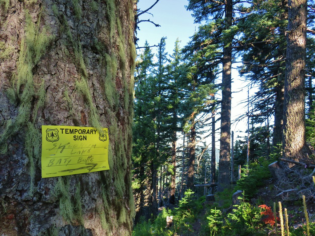
 Columbine
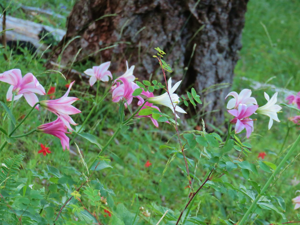 Washington lilies
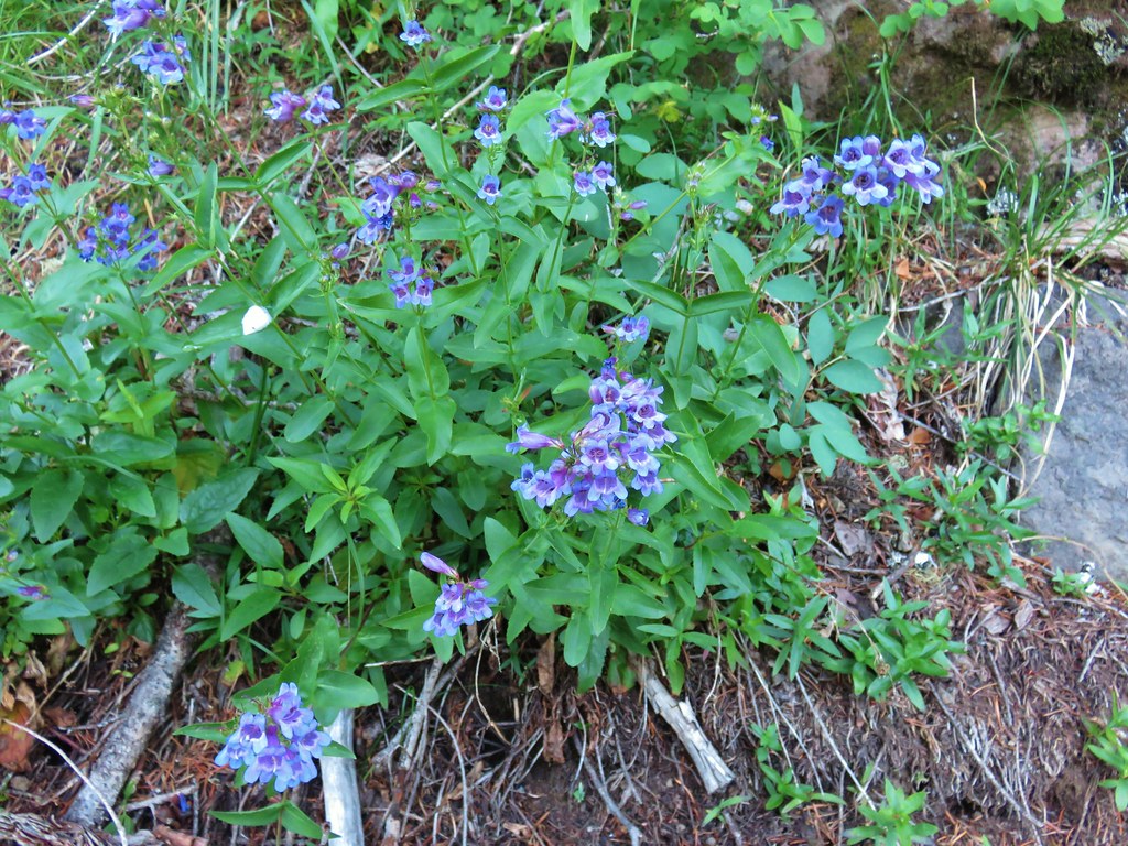 Penstemon
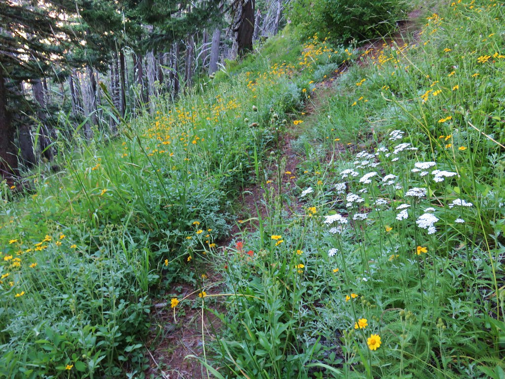 Assorted flowers
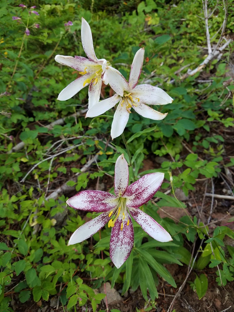 Washington lilies
 Oregon sunshine
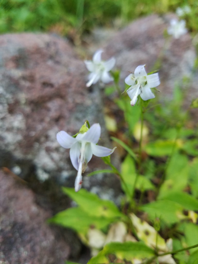 Scouler’s bluebells
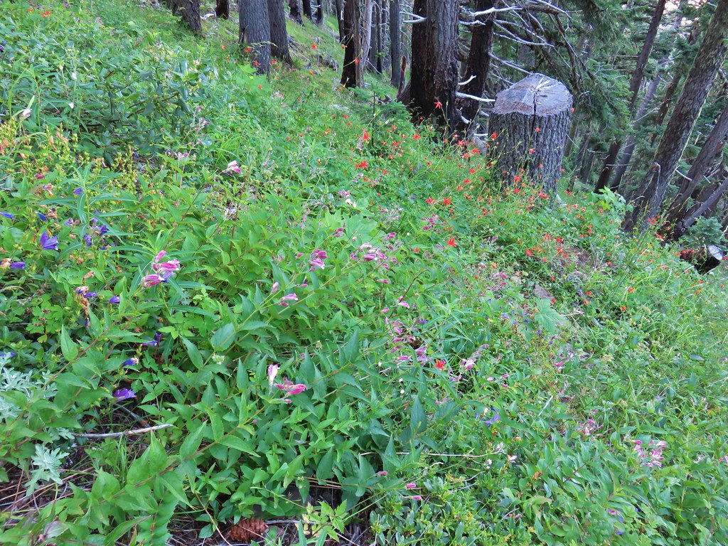 Columbine and a couple different types of penstemon.
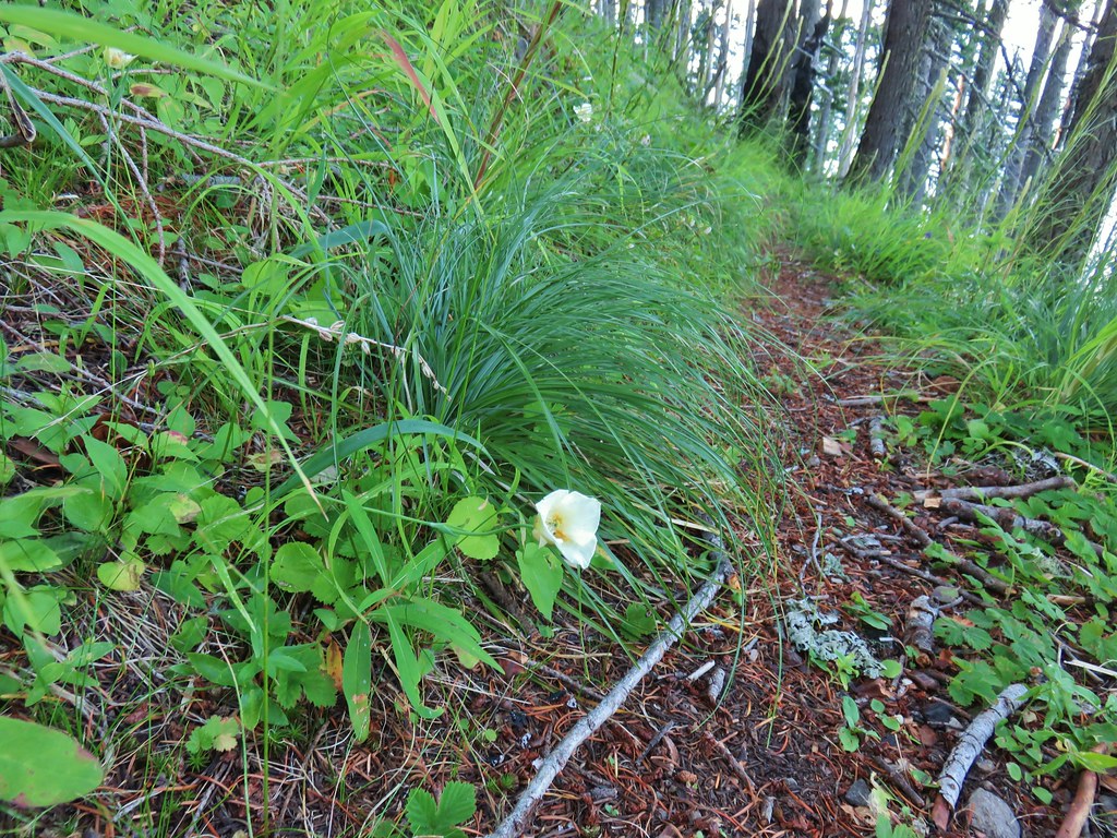 Cat’s ear lily
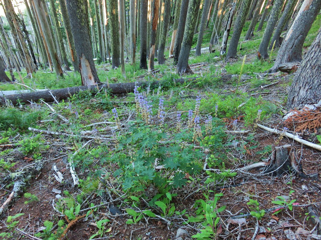 Lupine
 Pyrola
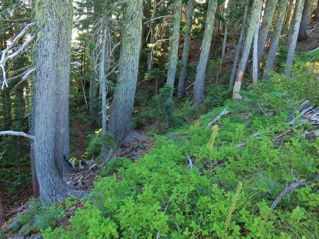 Skookum Lake Trail below coming out of the horseshoe turn.

 Mt. Hood
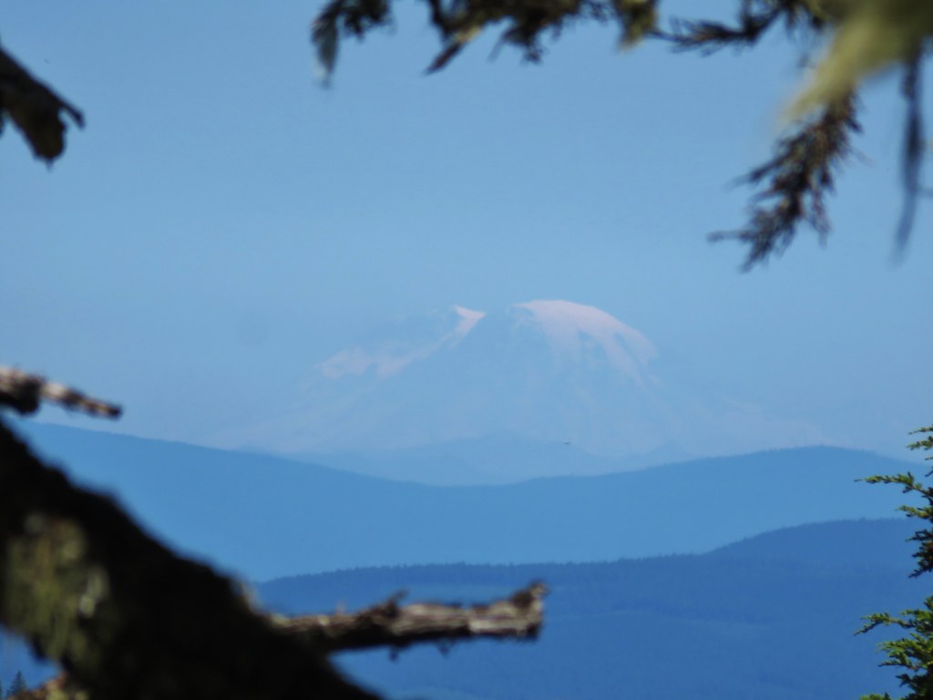 Mt. Rainier
 The trail skirts a talus slope above the meadow.
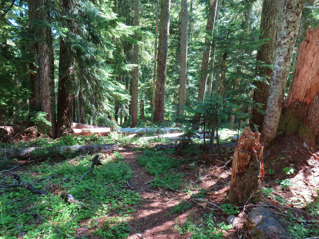
 Finally leveling out by the meadow after losing approximately 700′.
 I missed the sign until we had come back and started down the Skookum Lake Trail.
 Tall bluebells
 The yellow might be a groundsel.
 Aster
Aster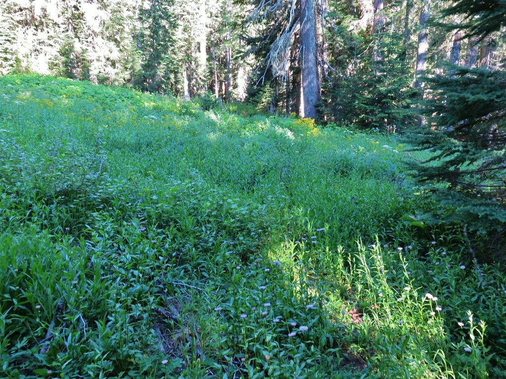


 Paintbrush, penstemon and lupine

 Mostly past lupine

 Several butterflies on Oregon sunshine.
 Scarlet gilia
 Fireweed
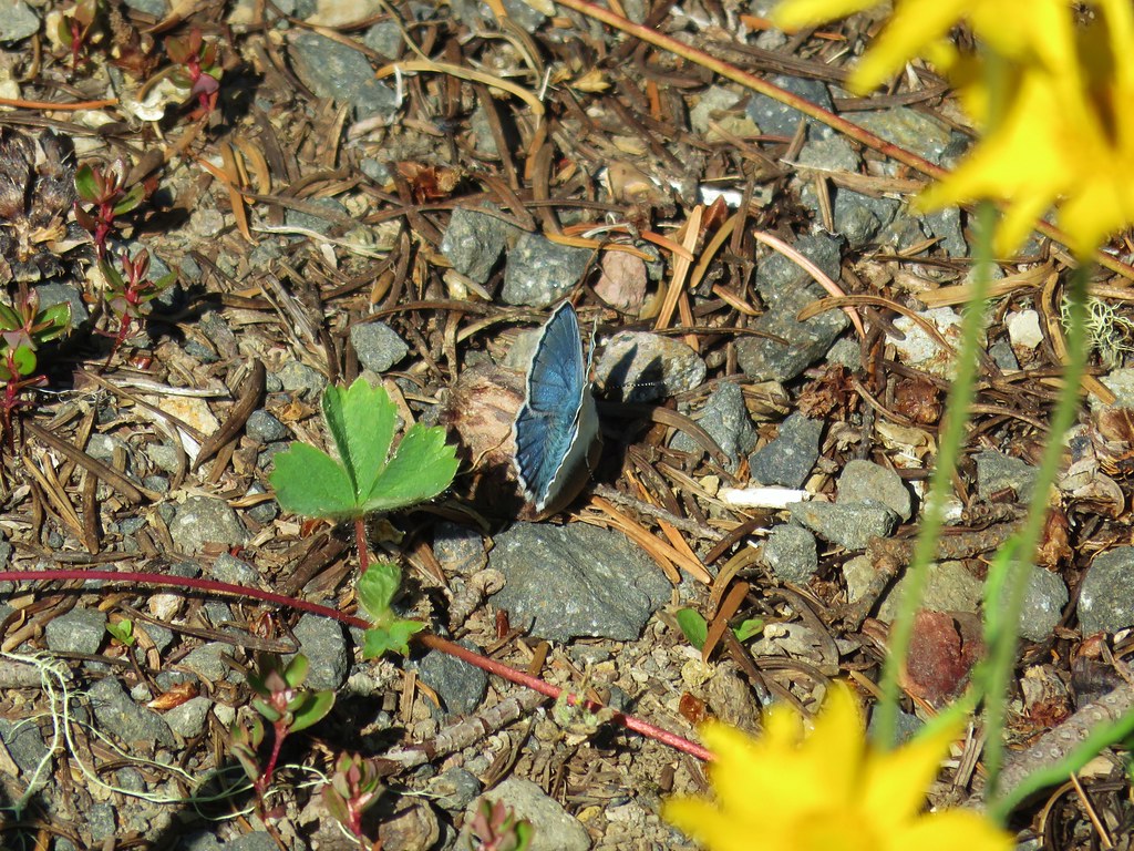

 Left is the wrong way on the return, the correct route is to the right through the brush.
 Flagging marking the correct path.


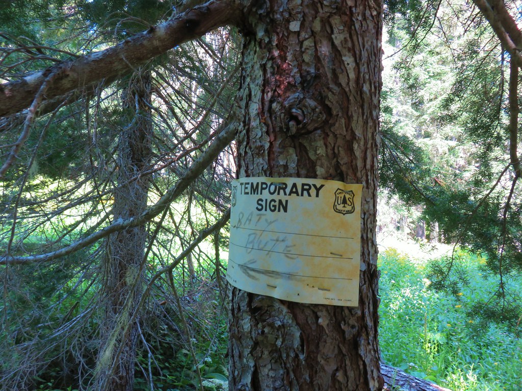
 Baty Butte Trail to the right.
 Baty Butte Trail starting to curve around the ridge.
 Scramble route up the ridge.
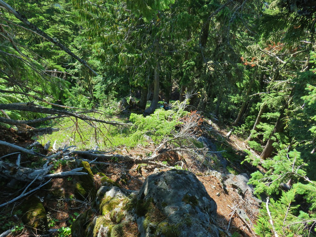 Looking down from the start of the spine.


 Mt. Jefferson
 Three Fingered Jack, Mt. Washington, and the Three Sisters.
 Rooster Rock is the formation to the far left.
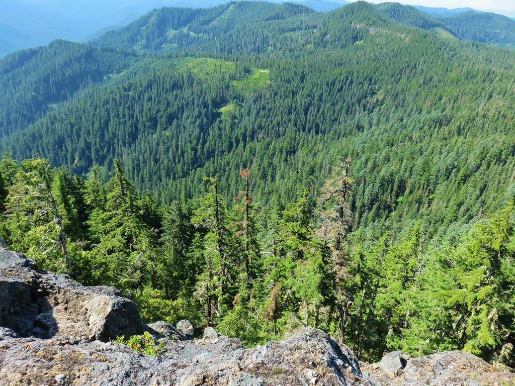 Looking down from Baty Butte.

 Orange agoseris
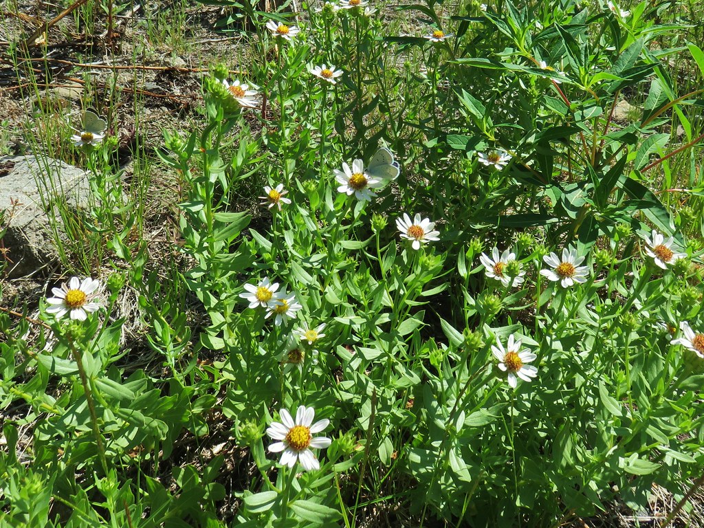
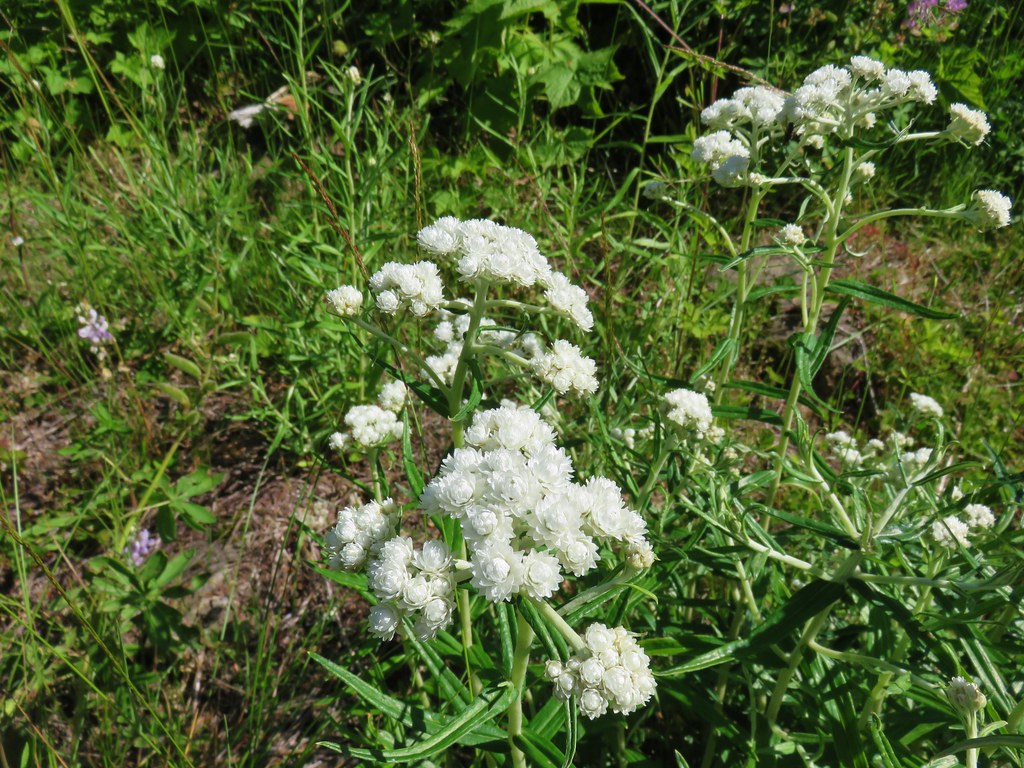 Pearly everlasting
 Penstemon
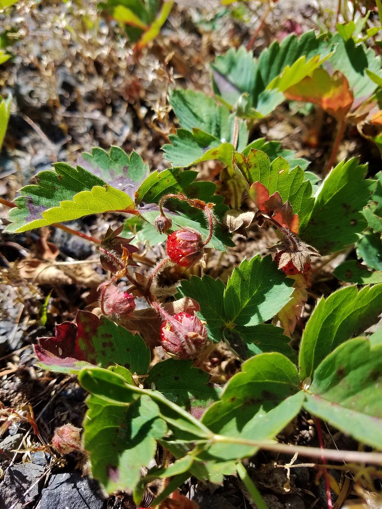

 Monkeyflower along the trail.
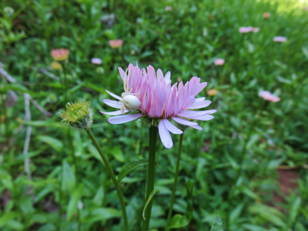 Crab spider on aster.
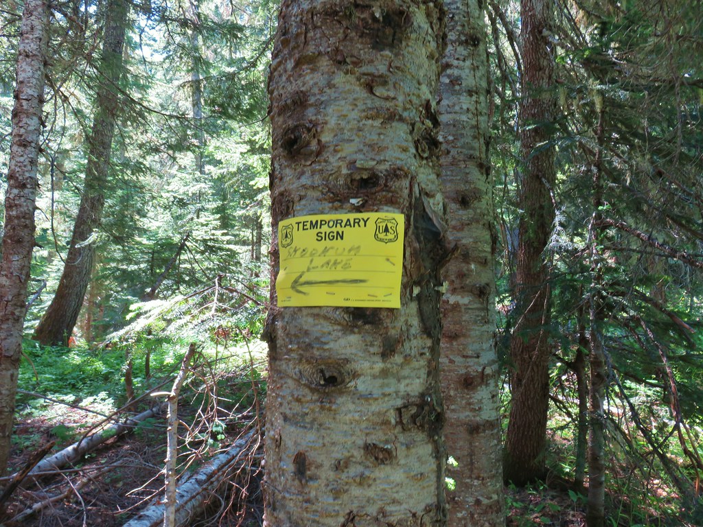
 Rhododendron along the Skookum Lake Trail.


 Small sign on a tree marking the trail to the summit of Thunder Mountain.

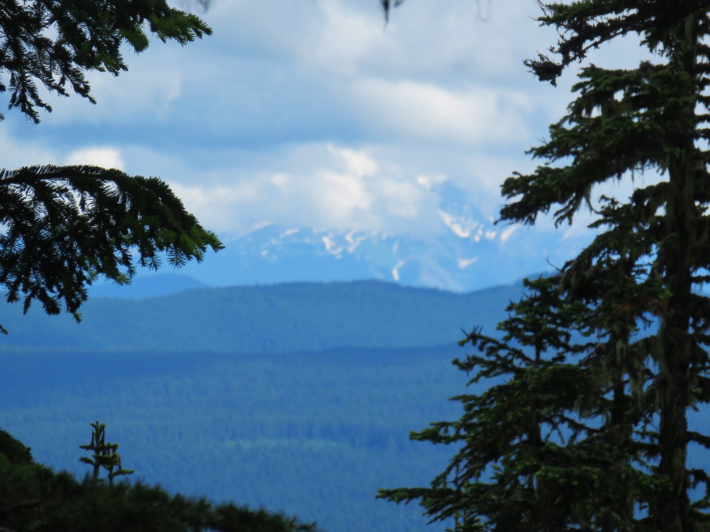
 The view north.
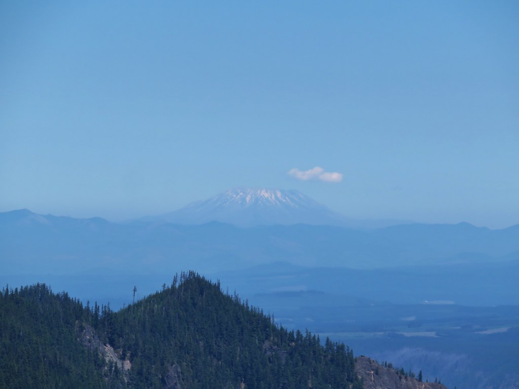 Mt. St. Helens
 Mt. Rainier and Mt. Adams beyond Fish Creek Mountain (
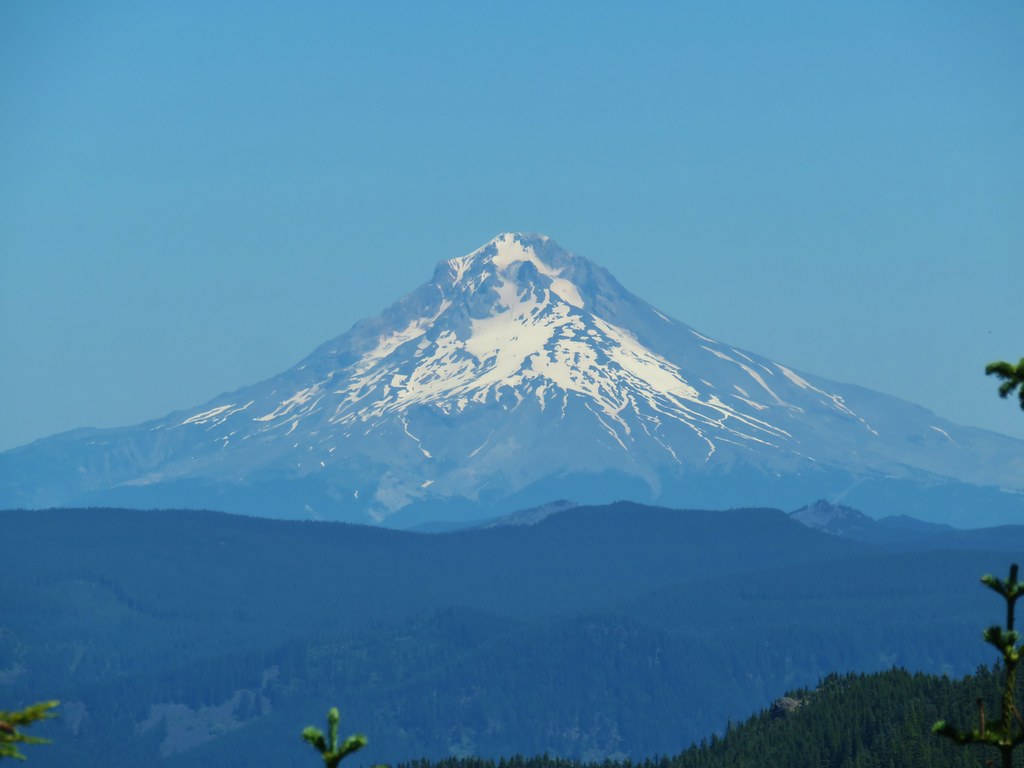 Mt. Hood
 Mt. Jefferson


 Columbine along the decommissioned road.
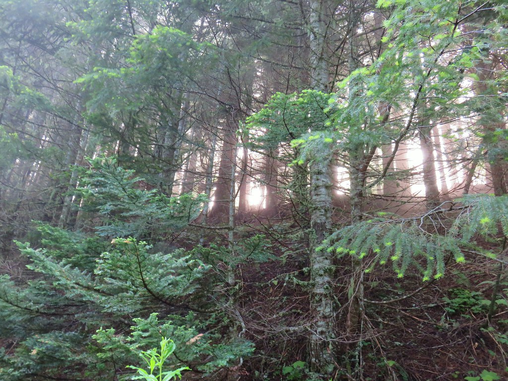


 Buckwheat
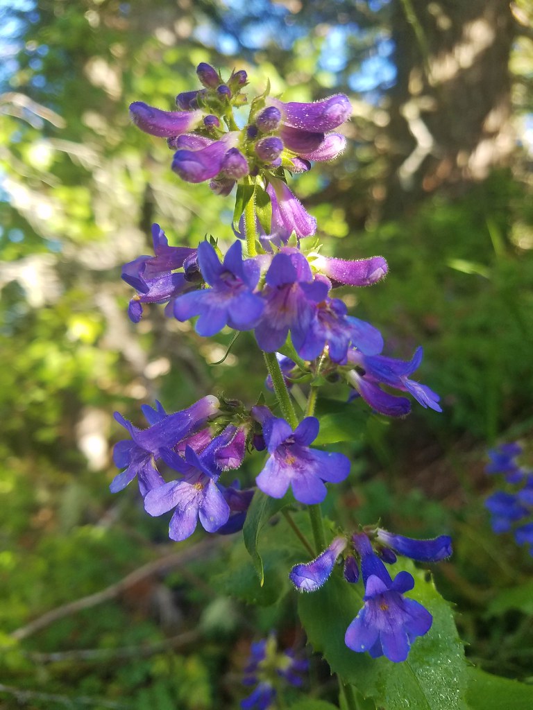 A penstemon
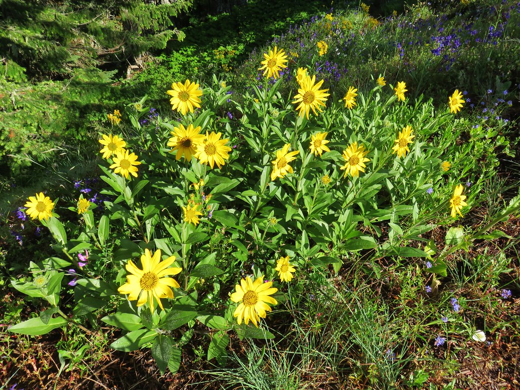 False sunflower
 A penstemon
 Oregon sunshine
 Lupine among others
 Cliff beardstounge
 Catchfly
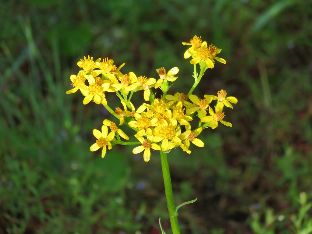 Groundsel
 blue head gilia
 Bleeding heart
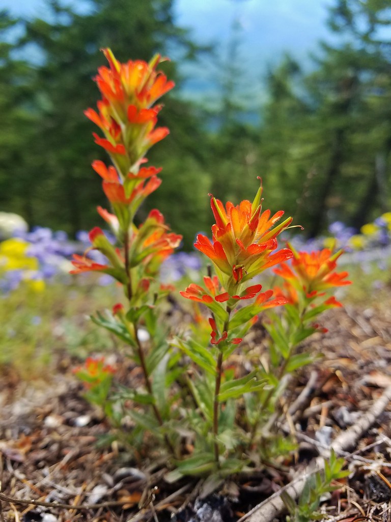 Paintbrush
 Woodland stars
 Larkspur and ballhead waterleaf
 Yarrow
 Valerian
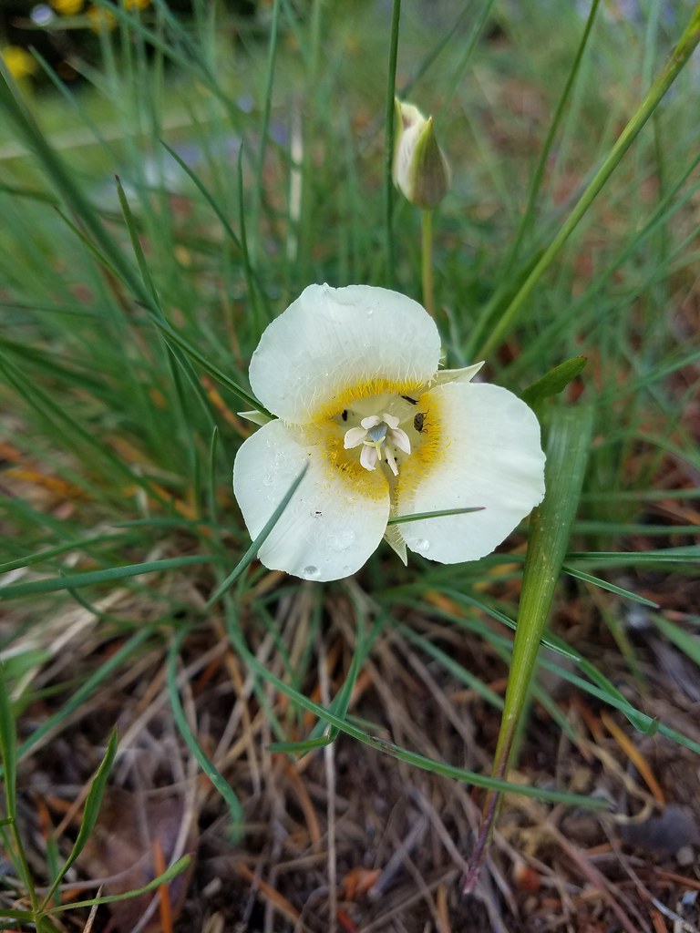 Cat’s ear lily
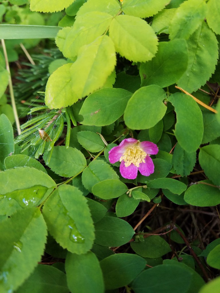 Wild rose
 Buckwheat in blue head gilia
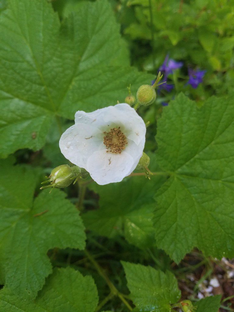 Thimbleberry
 Larkspur, leafy pea, and candy flower
 Rhododendron (just around the corner from the outcrop)
 Star-flowered solomonseal
 Plumed solomonseal
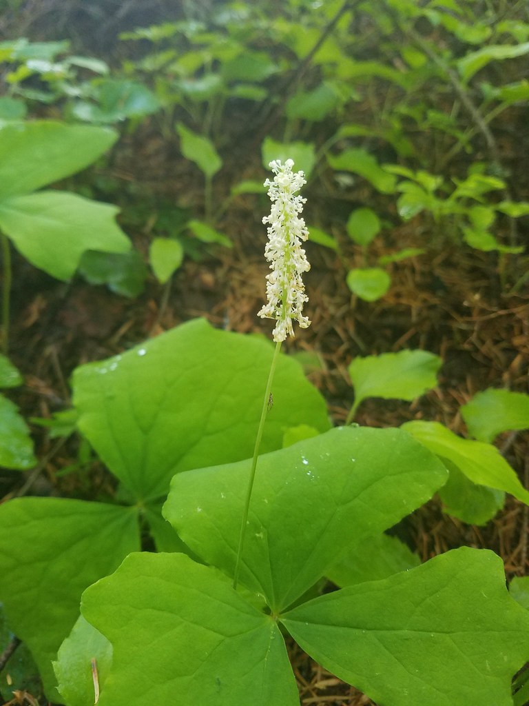 Vanilla leaf
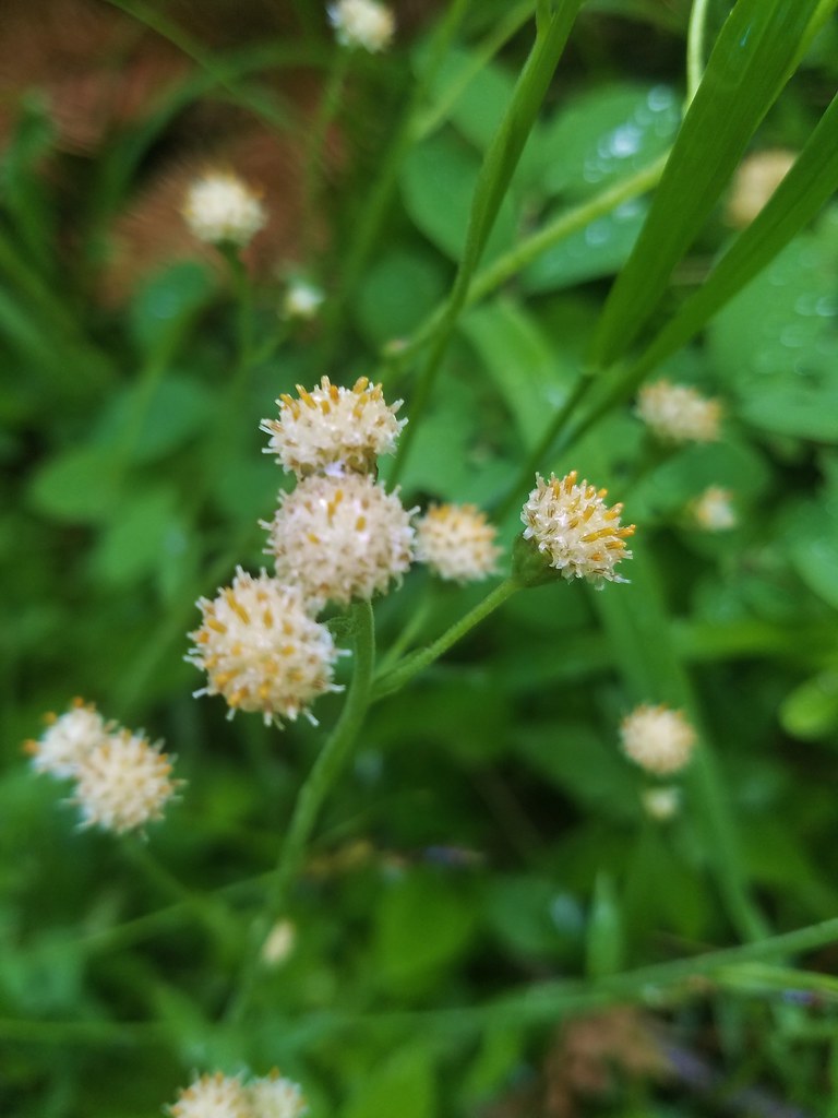 Pussytoes
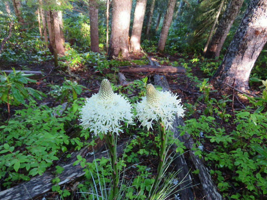 Beargrass
 Trail fork


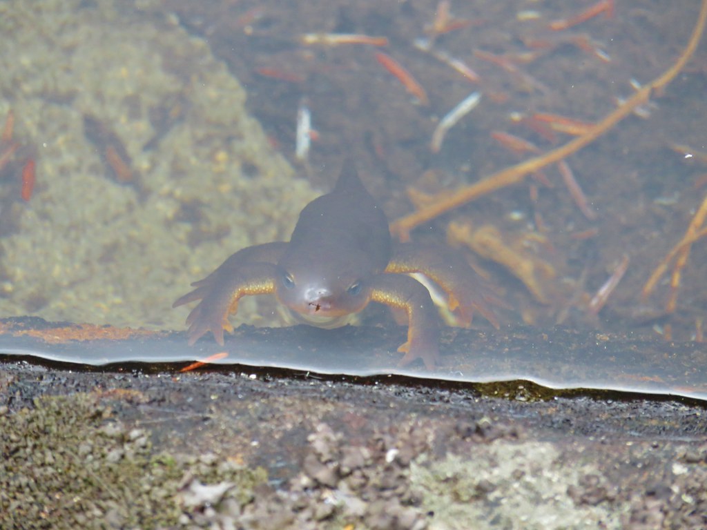 Curious newt
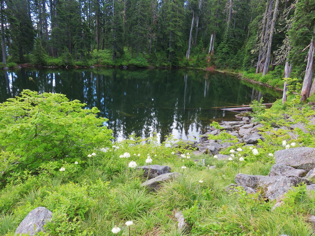
 Inside out flower
 Spotted coralroot
 Stripped coralroot
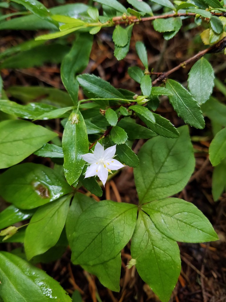 Starflower
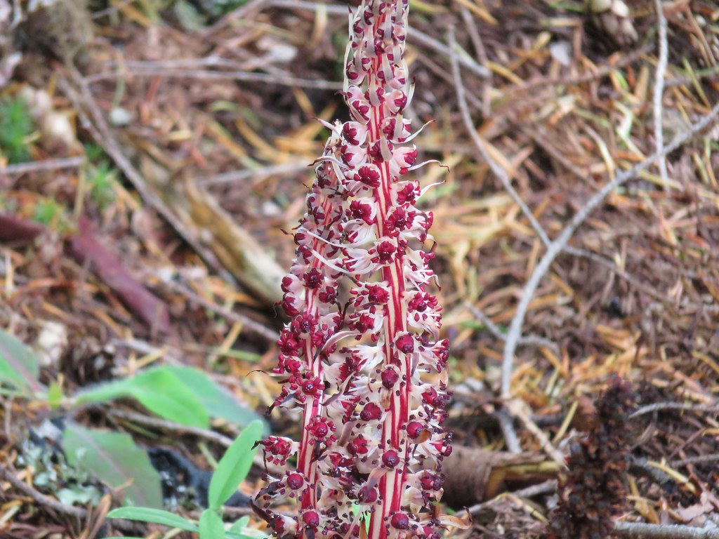 Candy sticks
 Wild strawberries