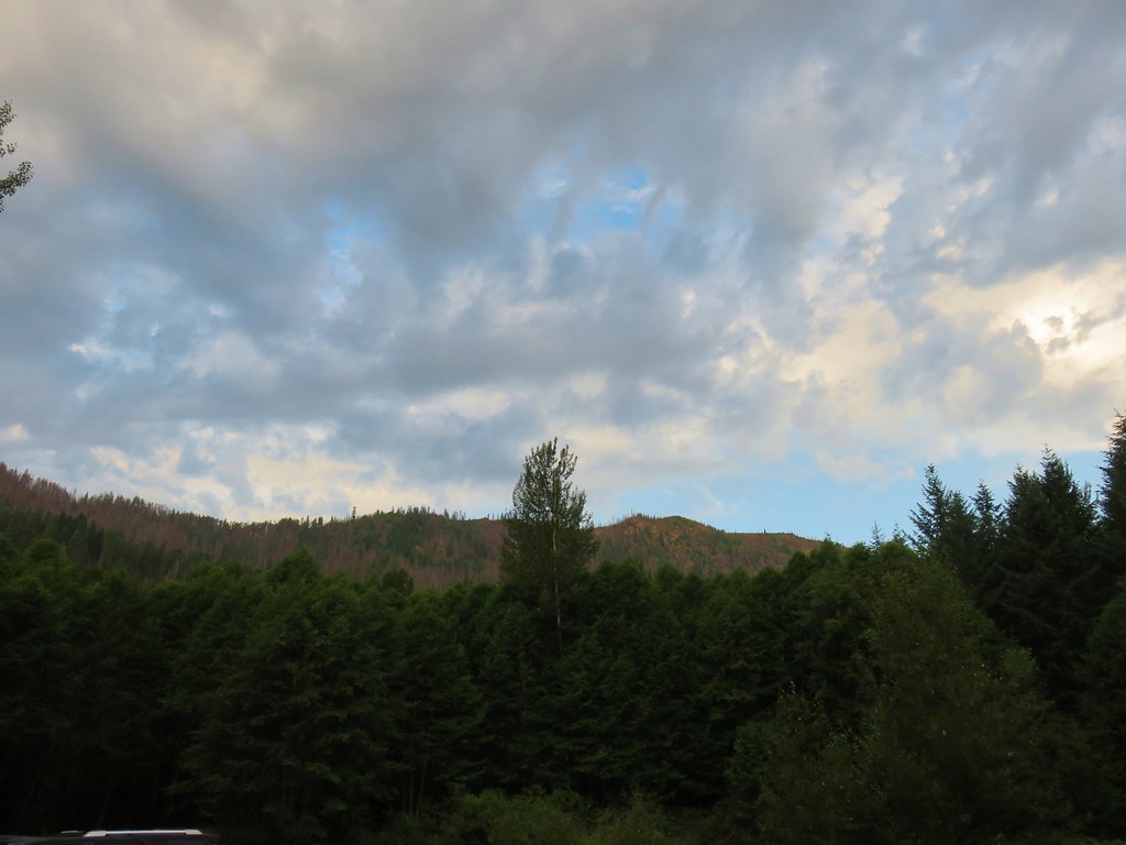
**Note the 2020 Lionshead Fire burned the area covered by this hike.**
We had passed the Bear Point Trail twice when hiking into Jefferson Park on the South Breitenbush Trail, most recently last August. (post) It was finally time to tackle that trail which gains almost 1700′ in just over one and three quarters of a mile to the site of a former fire lookout.
We set off from the South Breitenbush Trailhead a little after 6am hoping to get the climb over before the day heated up too much.

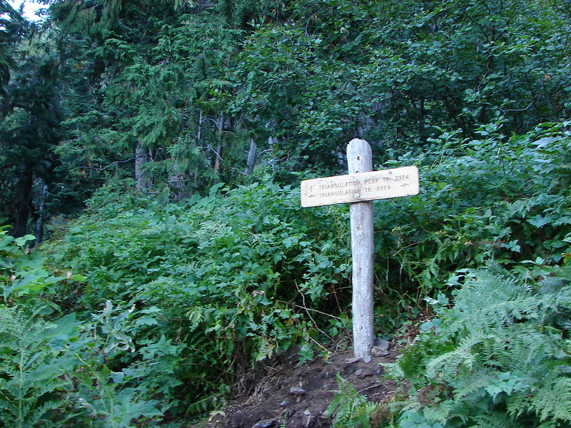
We followed the familiar South Breitenbush Trail for 2.2 miles to a signed junction.
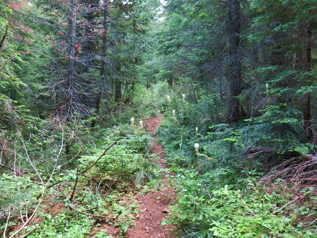
 Lots of spent beargrass along the trail.

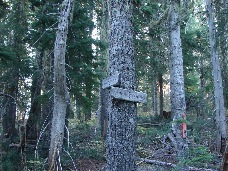
At the junction we went left on the Bear Point Trail.

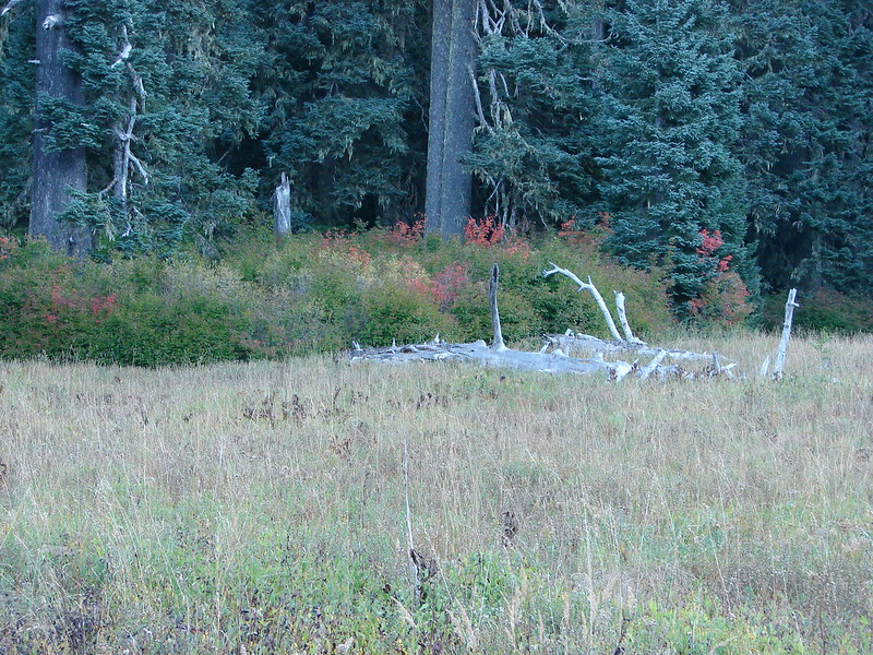
At first this trail continued the gradual climb that we’d been making on the South Breitenbush Trail as we passed around a spring set in a green forest.
 Thimbleberry bushes near the spring.
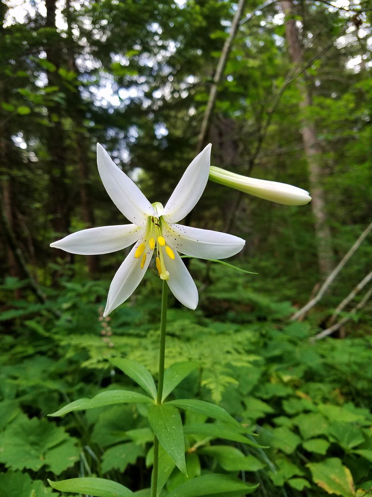 Washington lily
 Spring near the trail.
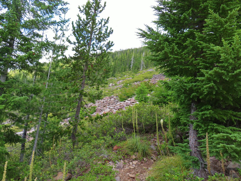
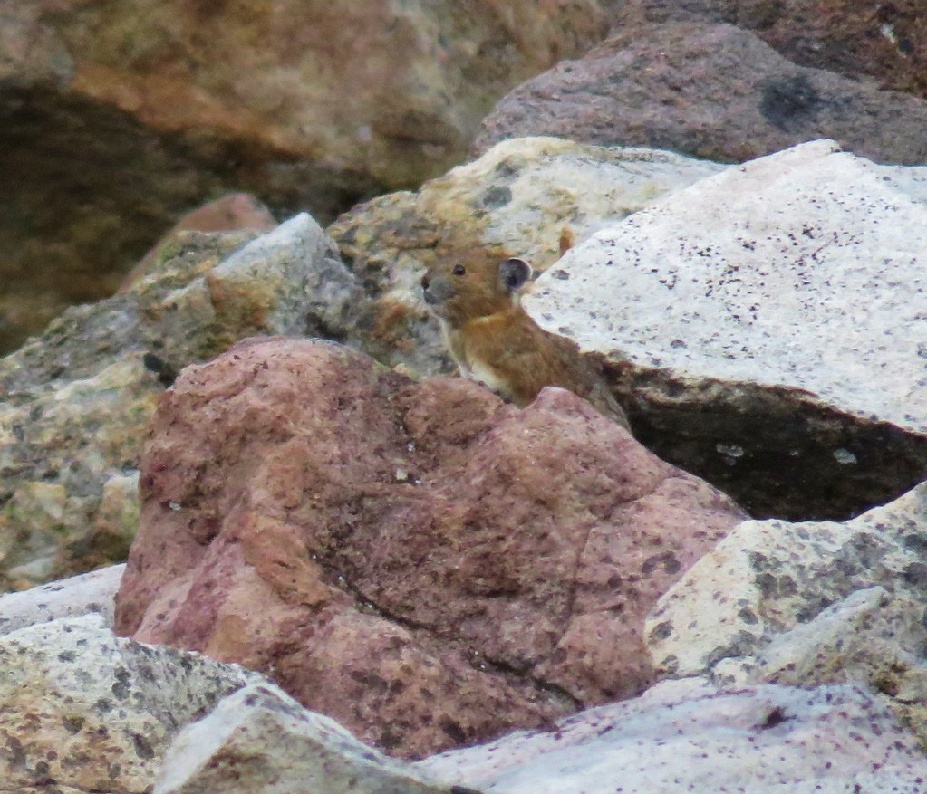
Shortly after passing the spring the trail began to climb in earnest via a series of swithbacks. The hillside below Bear Point was covered in talus slopes, the perfect spot to see a pika.


 Spotted the first pika of the day at this switchback (it’s on one of the red rocks)
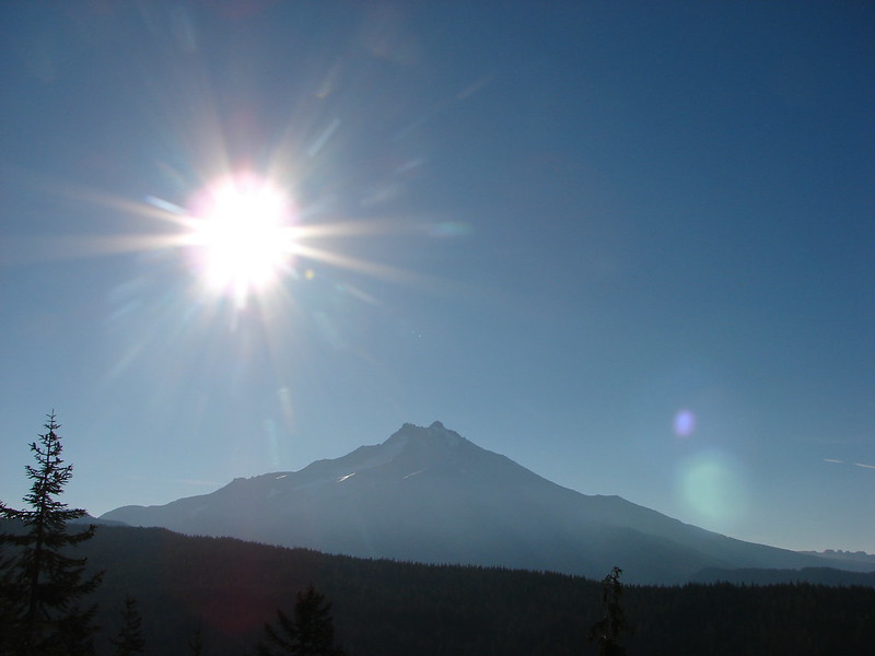
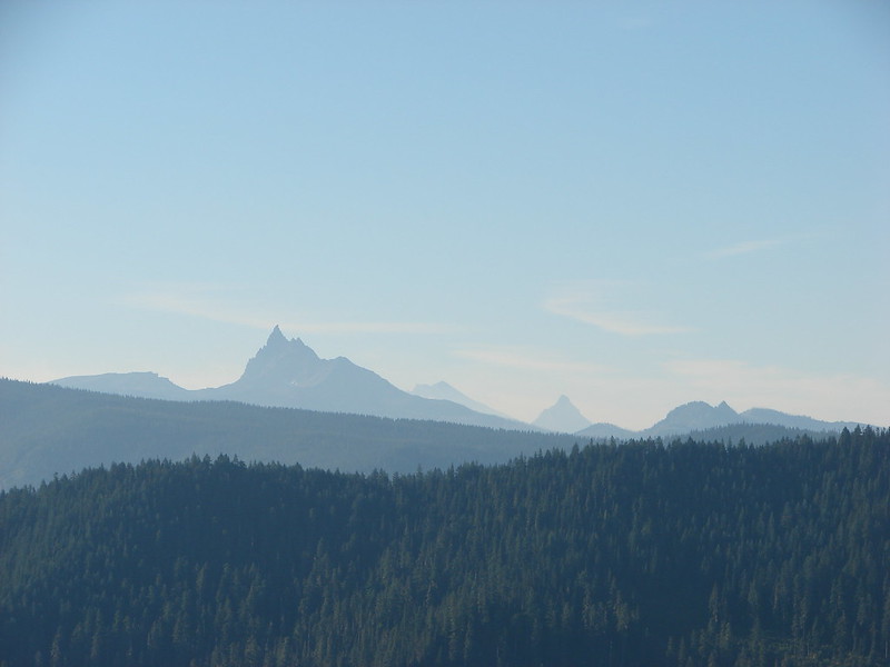
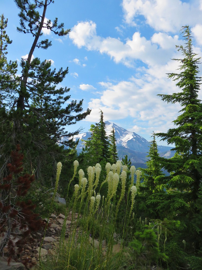
The hillside was pretty dry and the trees began to give way to manzanita, chinquapin and snowbush which allowed for some excellent views of Mt. Jefferson and the surrounding area as we trudged up the switchbacks.


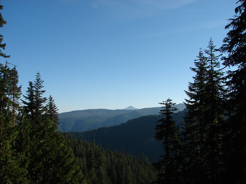
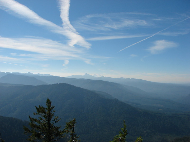
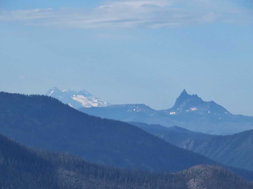
 The Three Pyramids, Bachelor Mountain, and Coffin Mountain in the distance with Triangulation Peak in a cloud shadow along the near ridge to the right.
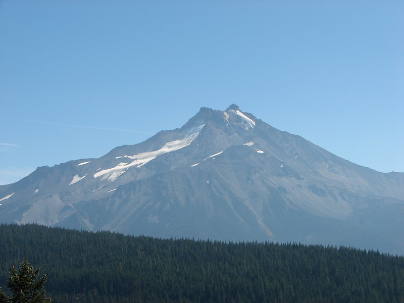
 Mt. Jefferson with Three Fingered Jack now fully visible.
 Three Fingered Jack
 Grouse in the brush to the left of the trail.
 Grouse
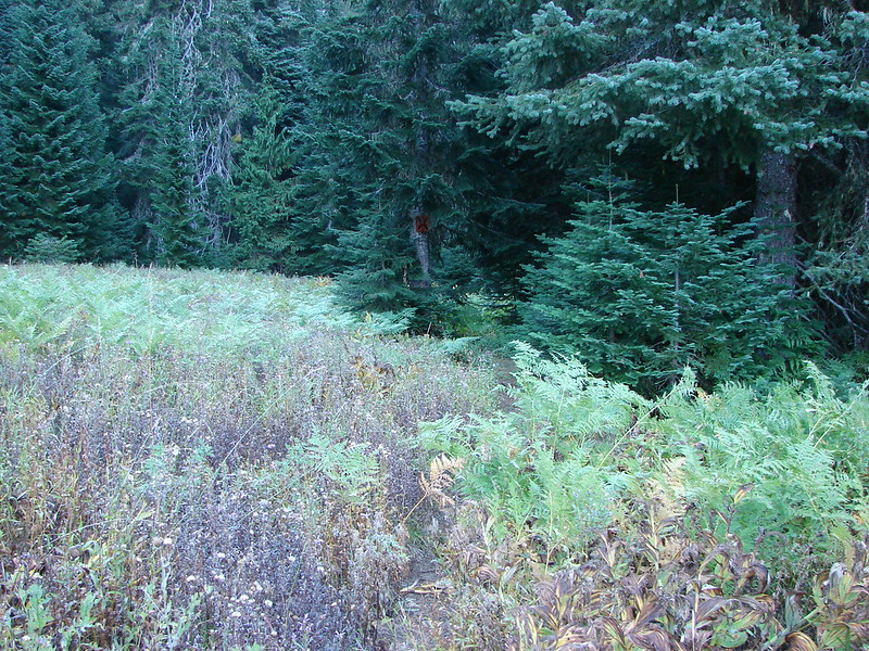
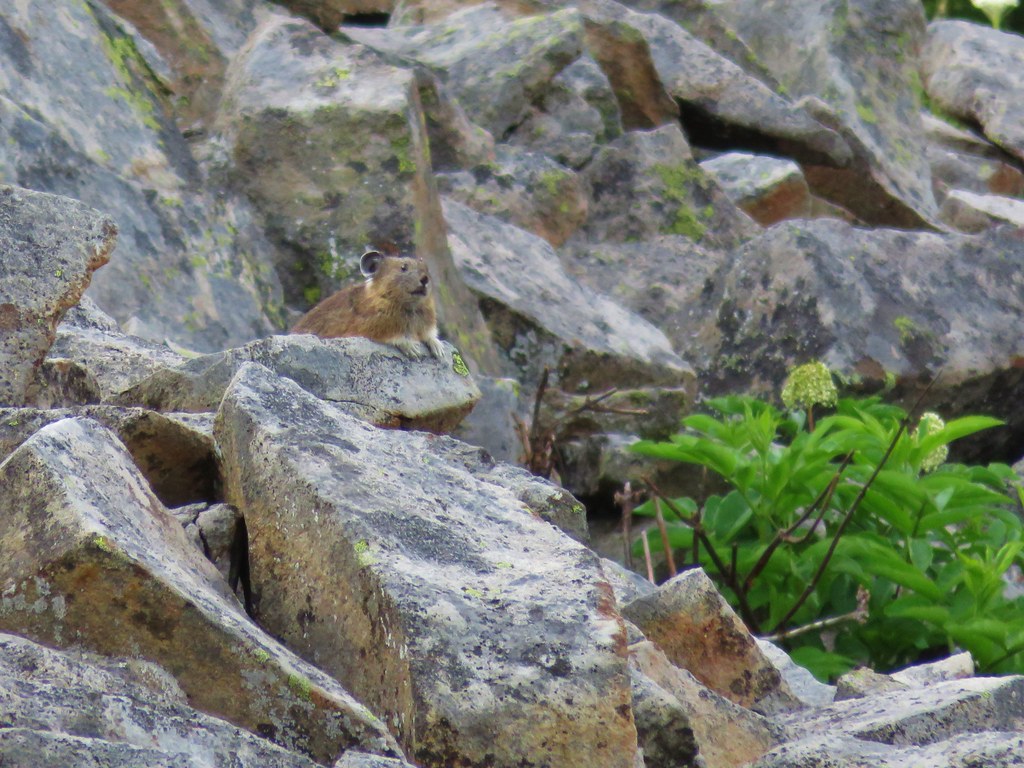
As we neared the top the trees began to reappear in larger numbers and the beargrass was still blooming.


We spotted the second pika of the day in a talus slope just below the summit.
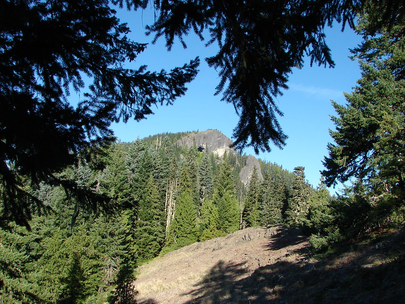
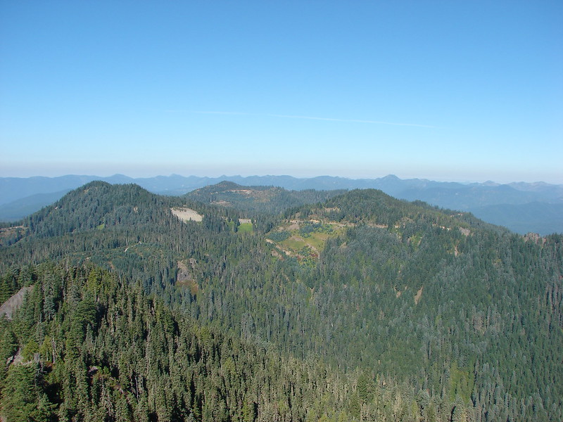
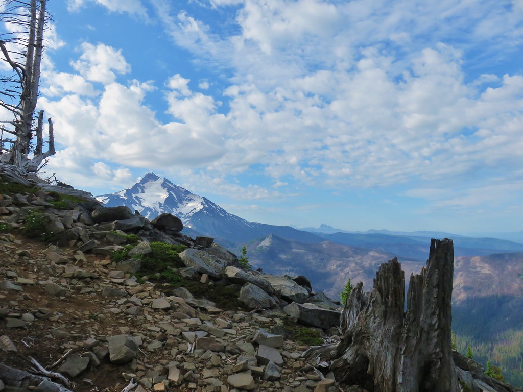
Despite the 3000′ of elevation gain to reach the summit the climb wasn’t particularly steep until the final 100 yards or so.

 Almost to the top.
 Bear Point summit.
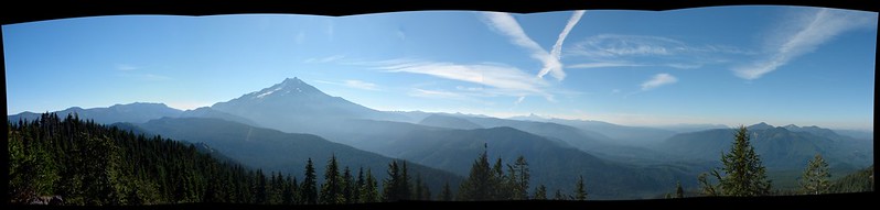
The views from the summit were amazing and there were a few wildflowers scattered about. We would have loved to have spent quite a bit of time relaxing there but the mosquitoes were a nuisance and there was no breeze to keep them at bay.

 The Three Sisters and Three Fingered Jack
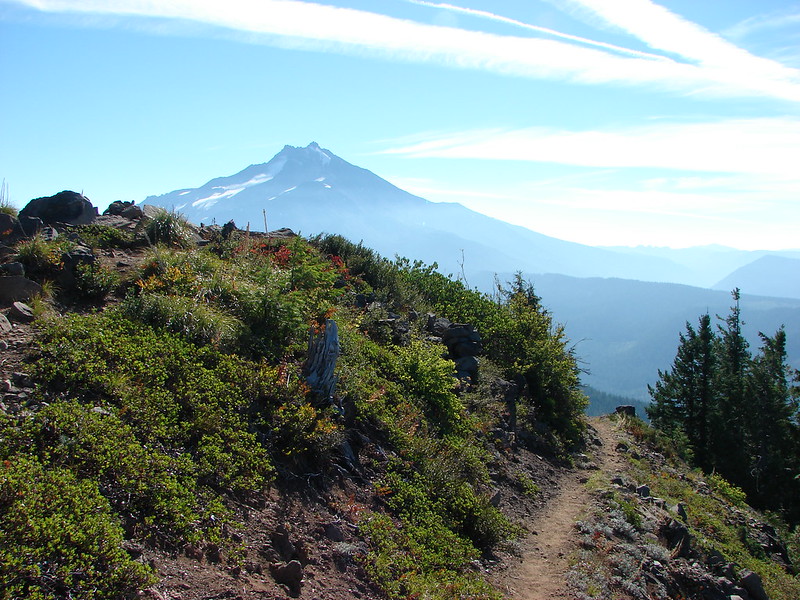
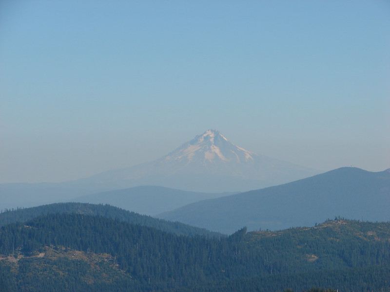
 Mt.Jefferson
 Park Ridge (post)
 Bear Lake, Dinah-Mo Peak, and Park Ridge
 Triangulation Peak and Devils Peak
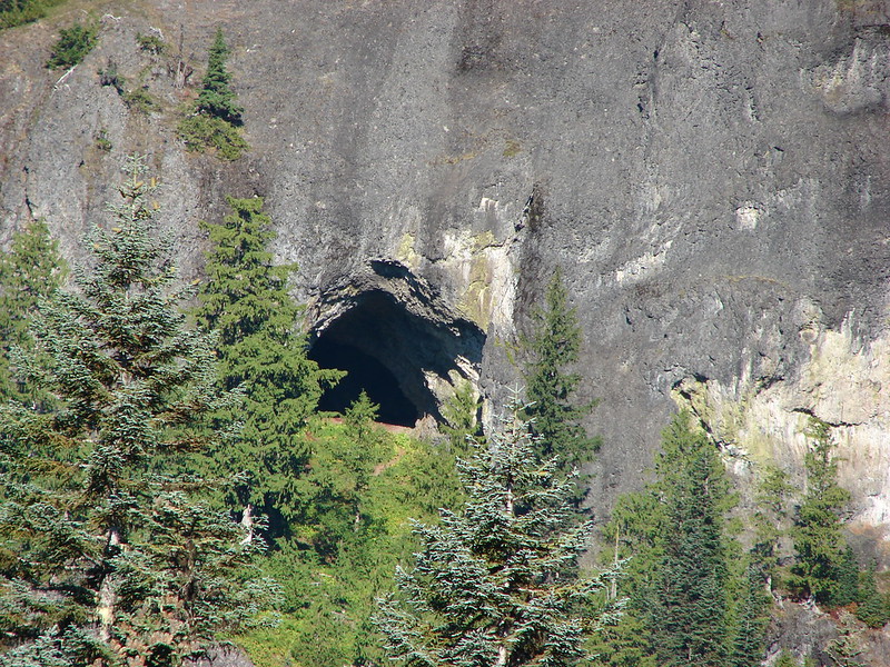
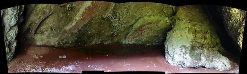
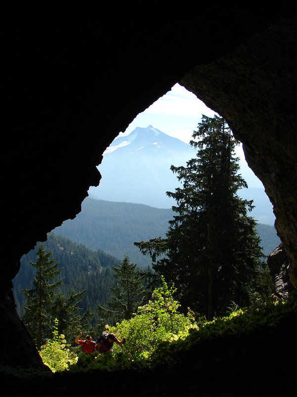
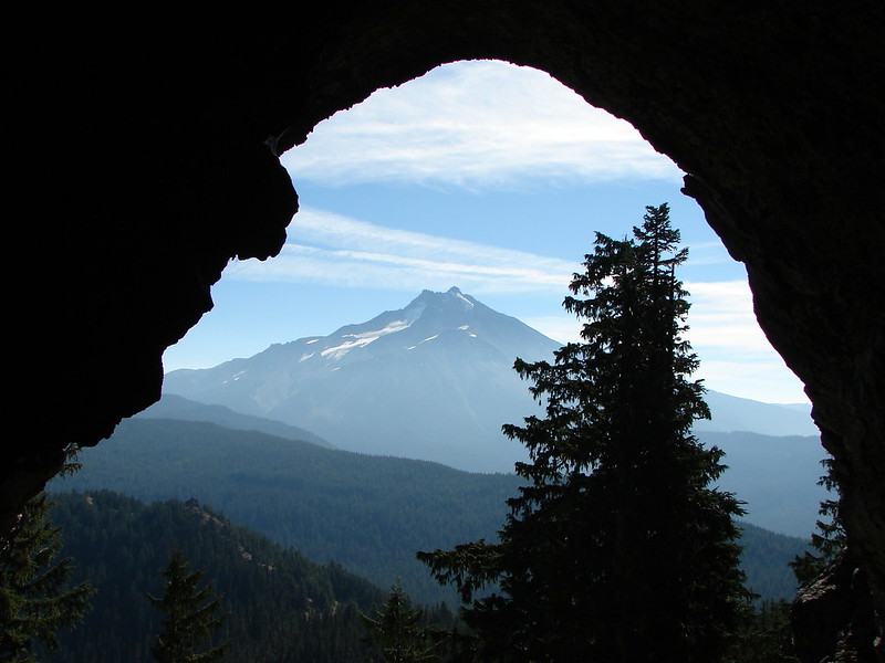
 Boca Cave below Triangulation Peak (post)
 Devils Peak (high point to the right of the ridge), which we had just hiked to a couple of weeks earlier (post)
 Mt. Hood and Olallie Butte (The Breitenbush Cascades are also out there amid the trees.)
 Mt. Hood with Slideout and Mildred Lakes in the forest below.
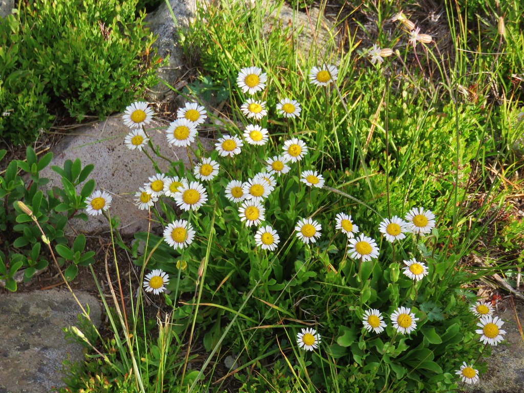 Fleabane
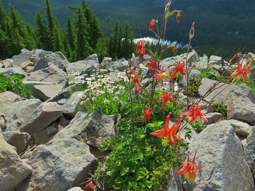 Columbine and fleabane with Bear Lake in the background.
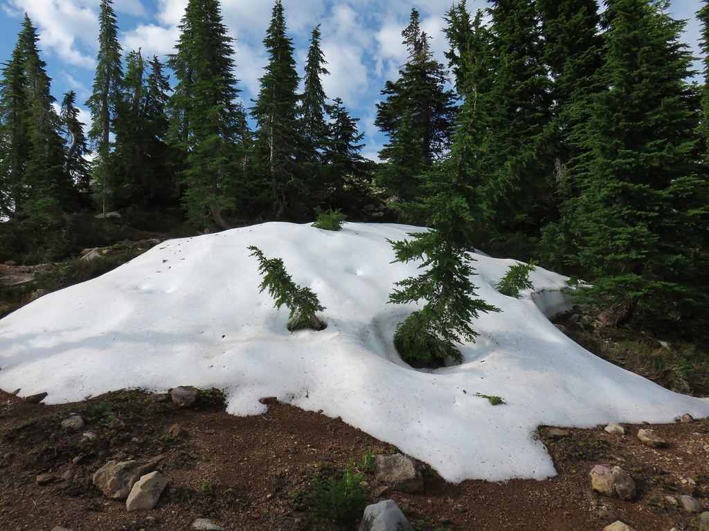 Snow patch near the summit.
The round trip to Bear Point is just 7.6 miles so we had some energy left and with the early start coupled with not stopping for very long due to the bugs we also had some time so we decided to tackle another challenge and visit an off trail lake. Due to the lake being off-trail I’m not going to go into much detail although it probably wouldn’t take a lot of detective work to figure it out. This was a challenge to reach and required route finding and navigational skills.
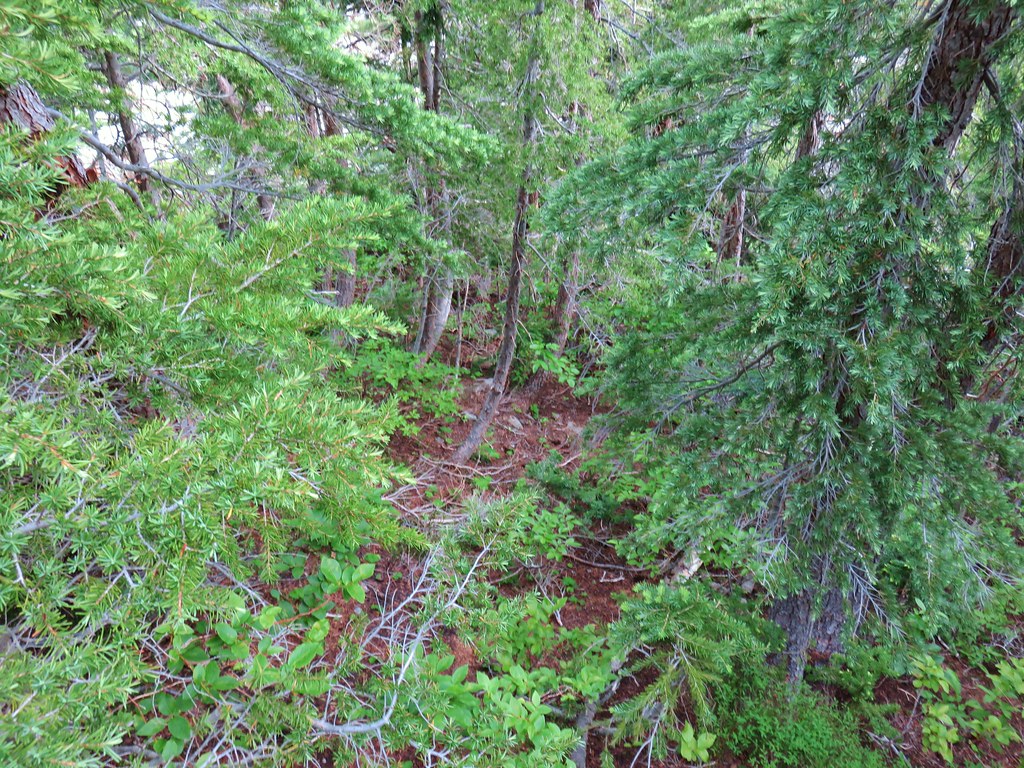 Typical terrain, it’s hard to tell here but this was a steep hillside.
 There were tons of these butterflies around.
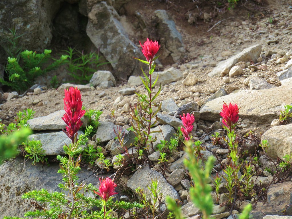 Paintnbrush
 Crossing a talus slope.
 More typical conditions.
 Pond near the lake.
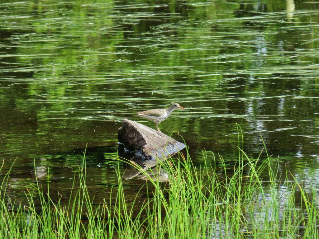 Bird at the pond.
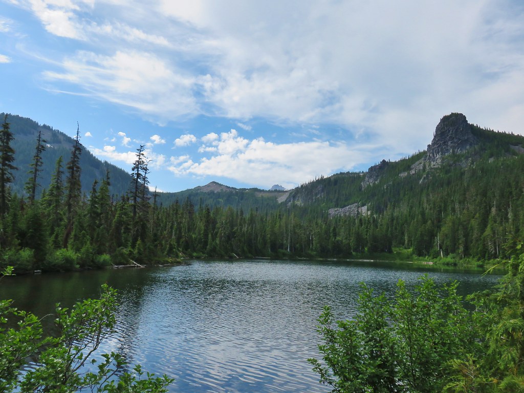 The lake
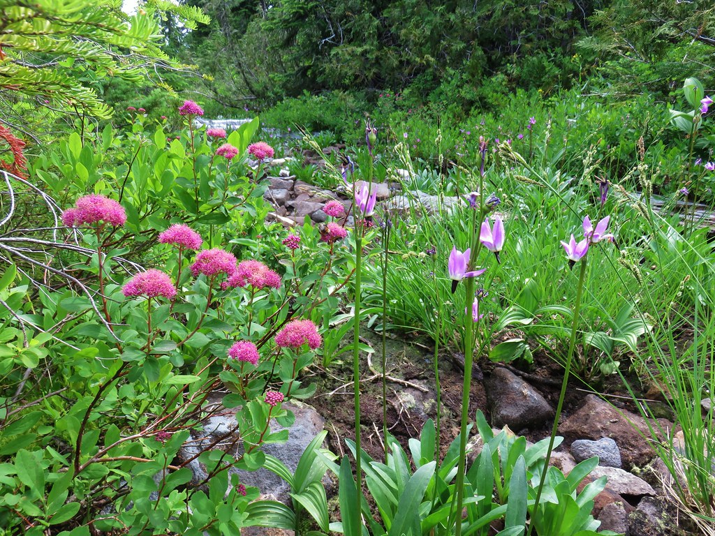 Spirea and shooting stars
 Crab spider with a bee
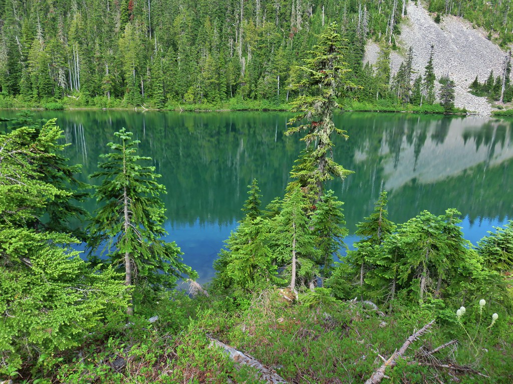 The lake
 Aster
Aster
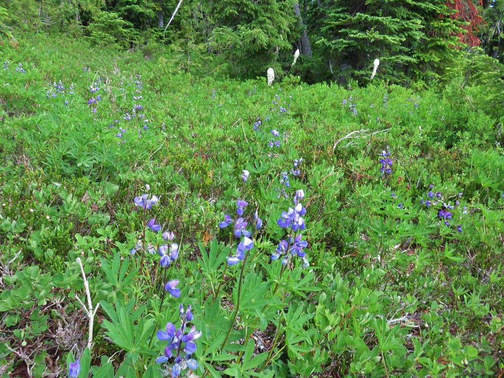 Lupine and beargrass
There were of course mosquitoes here too, being July and near water, so we didn’t linger and were soon attempting to follow our route back. It was slow going but we managed to get back just fine. It was a fun and challenging day and it felt good to be able to practice our off-trail skills a bit. Happy Trails!
Flickr: Bear Point