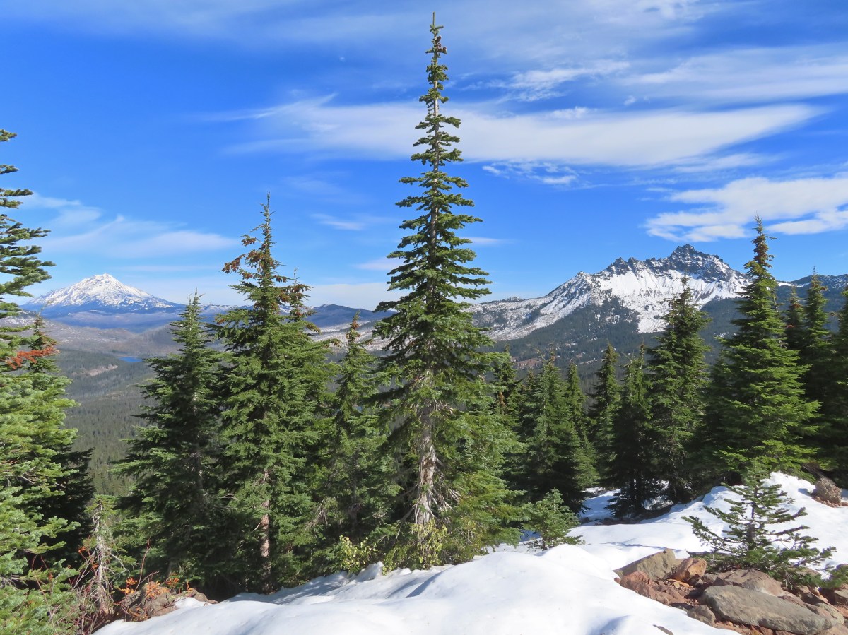
It’s been a busy week here. Monday, we took my brother and his family on a hike to Marion Lake (post), Tuesday I drove our son home to Eugene where we stopped at Meadowlark Prairie for a short outing (post). Wednesday, I had a follow-up appointment with my doctor who referred me back to physical therapy, this time for my back, as well as massage therapy to hopefully address the remaining issues I’m having.
While my back and hips are still bothering me, I’m not under any activity restrictions so Thursday I headed back to the trails. My brother and his family had gone down to Northern California for a couple of days to see the redwoods and Heather had to work leaving me on my own. After considering a couple of options I landed on Ramona Falls which Heather had visited back on May 30th. I was also hoping to visit the remains of the Upper Sandy River Guard Station.
I got an extra early start to my day and arrived at the Ramona Falls Trailhead shortly before 6am.

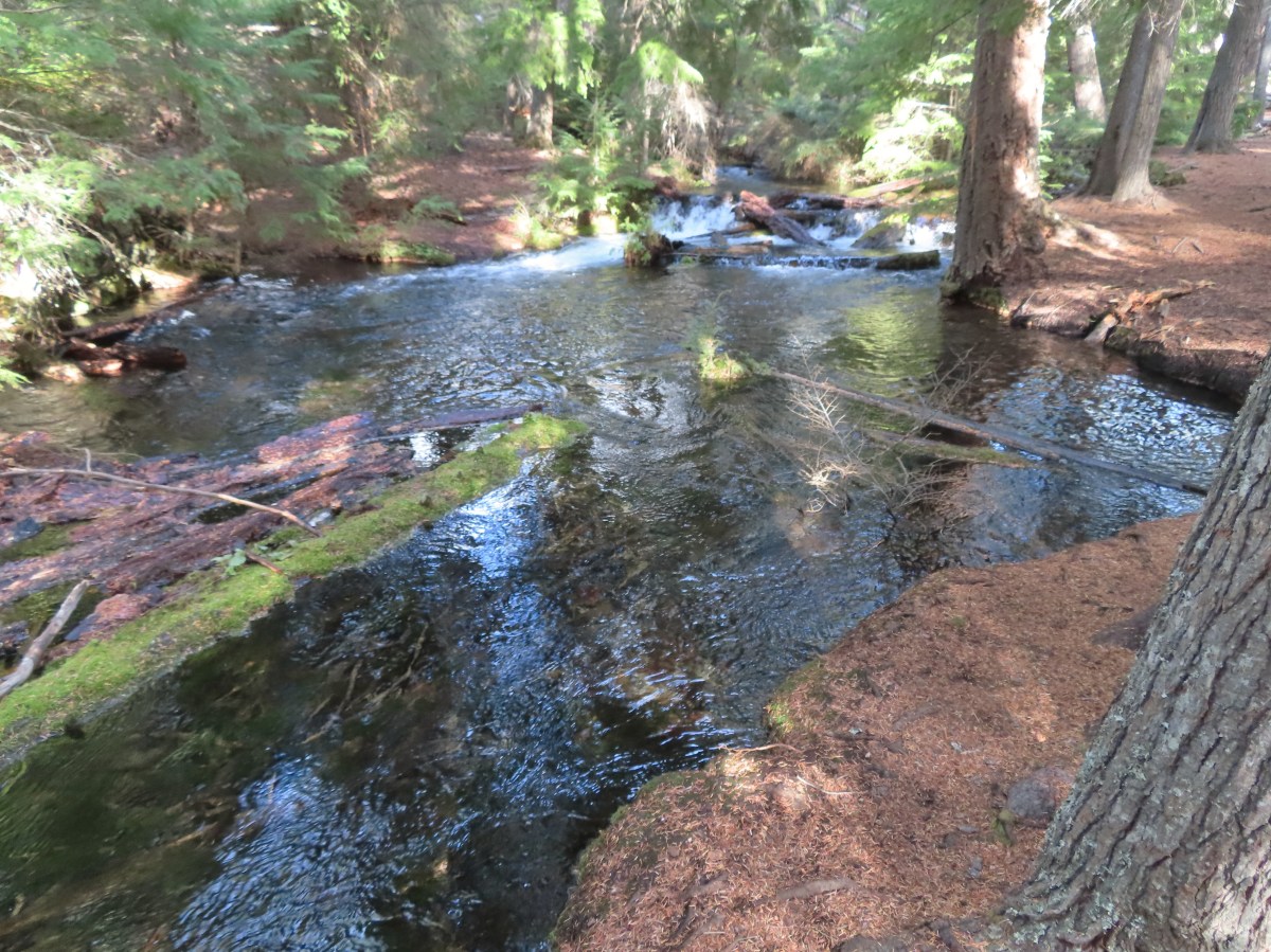
The trail almost immediately enters the Mt. Hood Wilderness making a very gradual climb along the Sandy River for 1.3-miles before dropping to a crossing of the river.

The wilderness sign to the right behind the trail sign at the trailhead.


White spiraea

A faded wilderness map stands near a junction where the Sandy River Trail joins from left.


Fireweed

Beardtongue

Pearly everlasting and penstemon

Mt. Hood from the trail just before dropping down to the river for the crossing.

Monkeyflower
It had been almost thirteen years since I’d been on this trail, having last visited when we hiked up Yocum Ridge (post). That was the year before a hiker was tragically swept away attempting to cross the seasonal bridge the Forest Service used to install for the Sandy River Crossing following a sudden storm. That was the last time a seasonal bridge would be installed. The crossing now changes from year to year depending on where the best option can be found. This year the crossing consisted of three logs, two small logs tied together and a larger log sitting around waist high to hold onto.


Easy peasy crossing this year.

On the other side of the river I spotted a raspberry bush with a single ripe berry and more to come.
I continued another third of a mile to a junction with the Pacific Crest Trail.

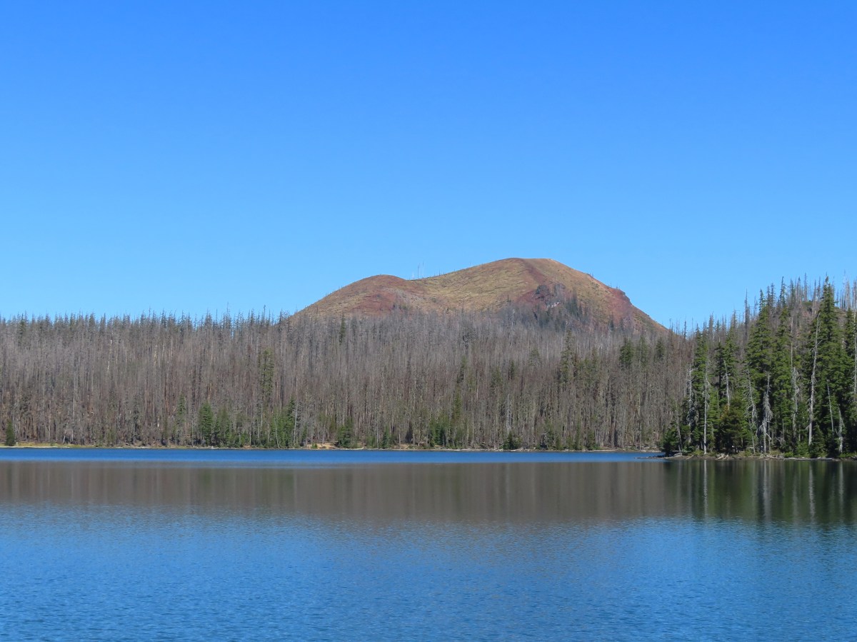
Last Chance Mountain


The PCT to the left (northbound) and to the right (southbound). Ramona Falls can be reached in either direction on a loop, but I prefer clockwise so I stayed left.
After half a mile I left the PCT at another junction by turning right on the Ramona Falls Trail.


Next was a 1.8-mile stretch on the Ramona Falls trail to a junction with the Timberline Trail near Ramona Falls.


Salal


Twinflower


Most of the rhododendron blossoms were done but there were a few remaining in the cool forest here.


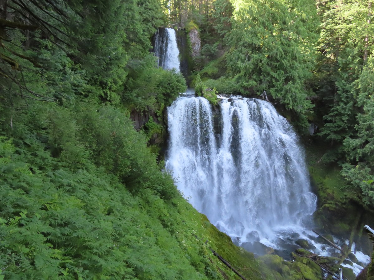
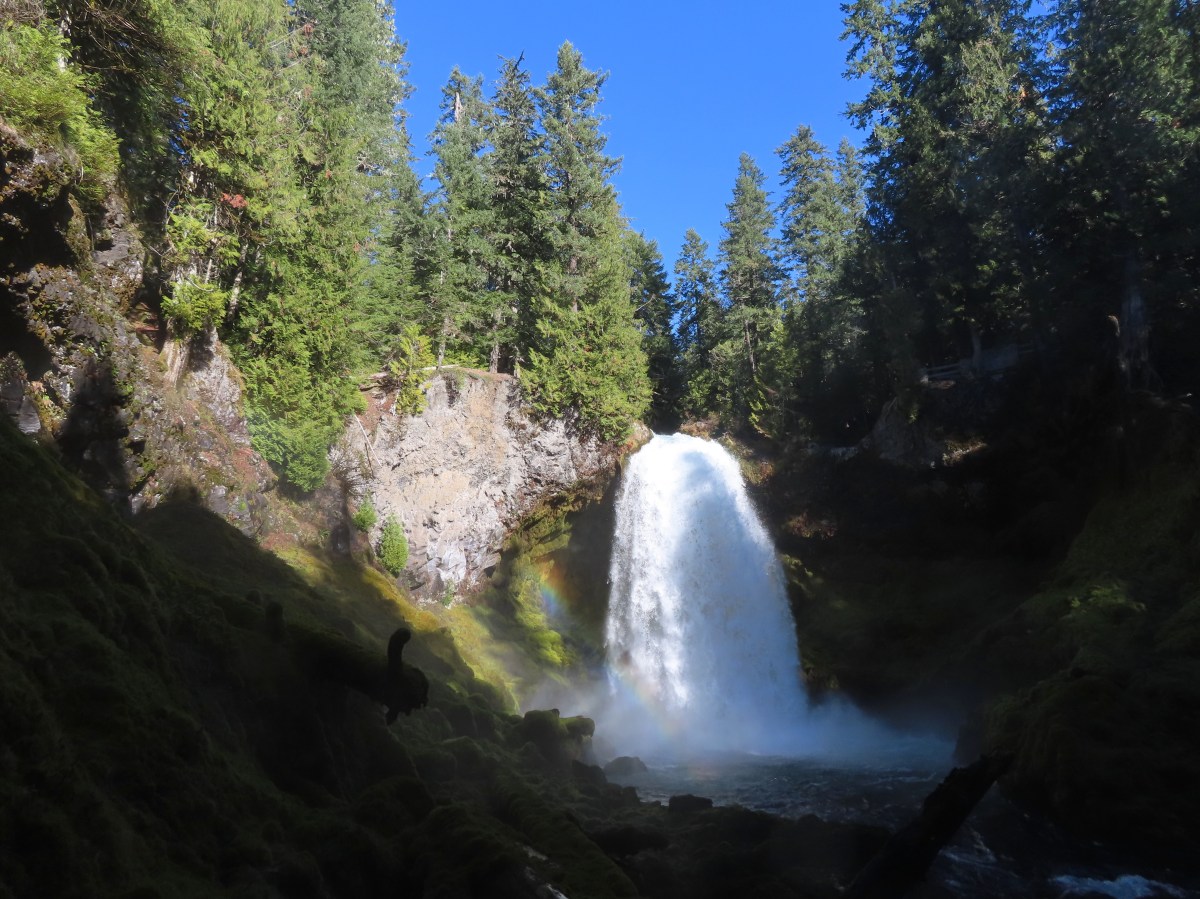
The Timberline Trail junction and the first glimpse of Ramona Falls.
I had passed a couple of tents a little before reaching the junction but I was the only one at the waterfall at 7:23am. I took a short break and had a snack before continuing on my hike.


The view from my break spot.
After my snack I continued on the Timberline Trail toward the PCT.

Looking back at the falls.

Squirrel

I had dropped the location of the Upper Sandy Guard Station, which sits on a bench below the Timberline Trail and above the PCT, on my map. As I neared the pin I began looking for a faint trail to the left. My first attempt was too early and the short path led to a secluded camp site but my second attempt led me to a rough trail the led down to the crumbling guard station.


The remains of the guard station.

The Sandy River Canyon.


For the fascinating history of the station please read this post by WyEast Blog.
From the guard station I followed a steep path downhill past another pair of tents to the Pacific Crest Trail (also the Timberline Trail here). To get back to the trailhead I needed to turn right and head northbound however I was in an exploring mood and had not ever been to the Sandy River Crossing which was only 0.3-miles away, so I turned left.


Red elderberry

Paintbrush


The Sandy River crossing. The river is pretty braided here and crossing wouldn’t have been too difficult, but it would have required fording at least one of the braids and I didn’t have my water shoes with me and didn’t want wet shoes so exploring further up the trail toward Paradise Park (post) was not an option.
Instead I decided to head upstream along the river and see what the area between Yocum Ridge and Slide Mountain was like.


No official trails head up the canyon but there were some footprints and several camp sites closer to the crossing.

This area was also popular with pikas. Several seemed to be having a conversation in “meeps” about my presence. It took a while but I finally spotted one of them.

I rambled a little of half a mile beyond the crossing before deciding that I’d had enough scrambling over rocks and turned around.


Buckwheat

The view from my turnaround spot. Not only was it rocky but it was getting increasingly brushy.
With no actual trails my route back was quite a bit different in spots, and I spotted some flowers I’d missed on my first pass.

Starting back.

Beardtongue

Paintbrush

Buckwheat patch.


Monkeyflower and algea

Golden-mantled ground squirrel
As I neared the Timberline Trail/PCT crossing I spotted pink flagging on the far side that marked the continuation of the trail.


California tortoiseshell
I found a spot where I could cross the first braided channel of the river but from the little island I was on I couldn’t see a way to cross the next one without getting wet.


I returned to the riverbank and picked up the trail then headed back.


Sugar sticks
The PCT/Timberline Trail climbed to a junction on a ridge where the Timberline Trail split off to the right toward Ramona Falls and the PCT went left. I went left and descended to the junction with the Ramona Falls Trail and then left the PCT to return to the trailhead.


Woodpecker


Back at the crossing.

Last look at Mt. Hood with the Sun kind of in the way.

Back at the trailhead.
Ramona Falls was as beautiful as I’d remembered and getting to see the old guard station was neat. Doing the hike on a weekday morning provided a lot of solitude. I only passed 13 people on the trails and ten of those were from the crossing to the trailhead. I’d seen about the same number of people at the various camp sites that were occupied. The hike itself came to 9.5-miles with approximately 1400′ of elevation gain.

This was the longest hike I’d done since my January 31st 14.8-mile hike along the Lower Deschutes River (post). I’m a little tight/sore as I write this trip report, but the hike itself felt really good. Hopefully this next round of therapy will help get me the rest of the way back. Happy Trails!
Flickr: Ramona Falls


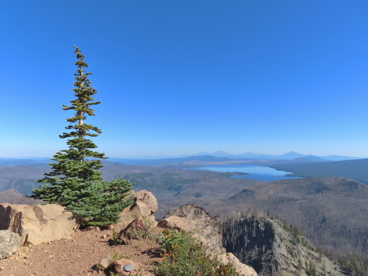


 Mount David Douglas