There haven’t been many good weather days in December and those that were dry had either been on days when we were at our desks at work, or one of us was under the weather. With Christmas right around the corner we were running out of time for a December hike so we decided that no matter what the weather we would be heading out on the winter solstice. Once again, the forecast was for a dry day Friday but rain all day Saturday. Given the forecast we opted for a river hike. Forested river hikes typically don’t have big views so cloudy skies don’t negatively impact the hike.
We headed to the McKenzie River National Recreation Trail to hike a segment of the trail we had not hiked before. We parked at the Lower McKenzie River Trailhead. (Note that the linked Forest Service page incorrectly states the trailhead is along Highway 125 instead of 126.)
 The trailhead.

The trail begins at a signboard at the eastern end of the trailhead. For the first half mile the trail squeezes between the river and the highway before briefly veering away from the highway.
 The caution sign was related to some pile burning that the Forest Service had been doing.
 McKenzie River


 Mushrooms
The trail approached the highway again across from McKenzie River Ranger Station.

After passing a junction with a spur trail coming from the ranger station at the 1 mile mark the McKenzie River Trail dropped away from the highway.
 National Recreation Trail symbol on a tree to the left.
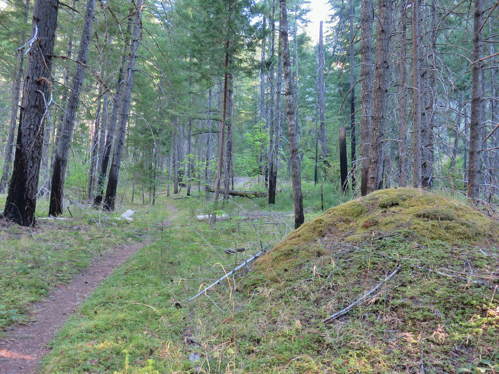
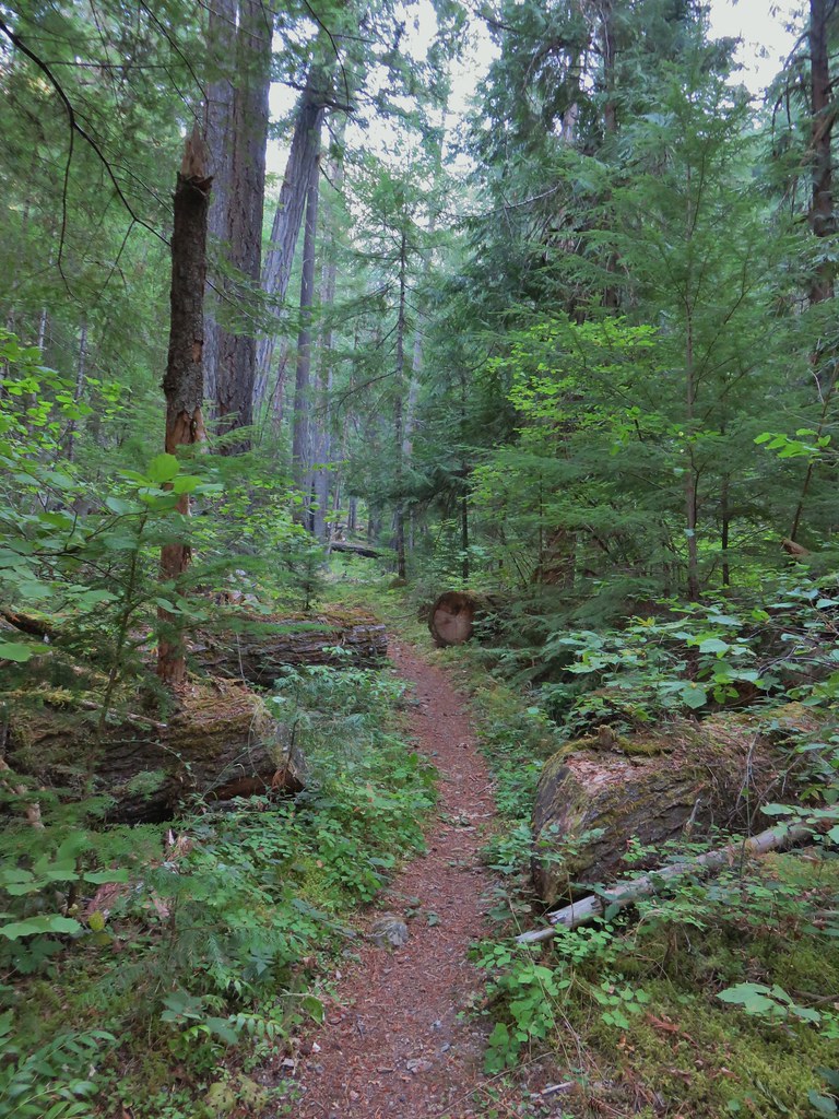
For the next 4.5 miles the trail stayed further away from the highway. At times it followed the bank of the McKenzie River and at others it veered away to avoid private property. At all times the trail passed through a lush green forest.


 Private Road sign on Duffy Rd.

 There was quite a bit of witches’ butter fungus along the trail.
 There were a lot of other mushrooms too.

 Unnamed creek crossing.


 Ruby-crowned kinglet. We didn’t see much wildlife on this hike but there were several kinglets flitting among the trees here. This was the only photo of one I managed to get though.
 We had not expected any blue sky so this was a treat. It had rained for most of the drive and sprinkled for a minute shortly after we started hiking, but it had been dry otherwise.
 The trail switching back up a small hill.
 The most significant elevation change was this decent to a footbridge over Lost Creek.
 Coral fungus
 Lost Creek
 The footbridge over Lost Creek was a little over 4.5-miles from the Lower McKenzie Trailhead.
 Lost Creek
 Willamette National Forest Boundary

 Approximately 5.25-miles from the trailhead we crossed Belknap Hot Springs Road.
 Sign for the Belknap Hot Springs Lodge and Gardens.
Shortly after passing the lodge the trail approached the highway again for a brief time before the river veered away again and the trail followed it.

We had originally planned on turning around at 11am, but Heather’s ankle was starting to bother her, so she turned around at 10:45. I decided to keep going for another 15 or so minutes to try and reach Forest Road 2650 where the trail crosses the river to continue on the western side of the river.
 Unnamed seasonal stream.
 Footbridge over Scott Creek.
 Scott Creek
 Mushrooms

 Footbridge over Boulder Creek.
 Highway 126 bridge over Boulder Creek from the footbridge.
 Boulder Creek flowing into the McKenzie River.
 Forest Road 2650.
 Boat ramp at Forest Road 2650.
 The river from Forest Road 2650.
I turned around on the bridge and started back at a quick pace to try and catch up to Heather.


 This short section along the road is just east of Belknap Springs Road.
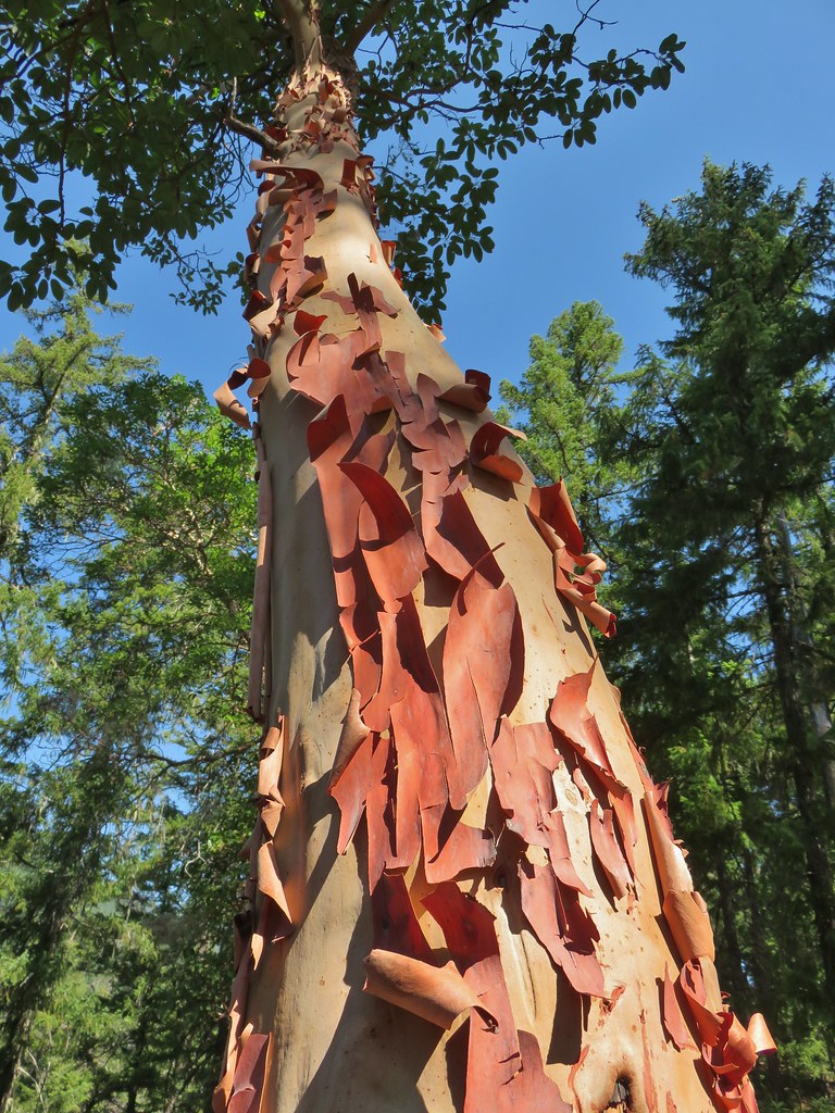
 Madrones
Moving at a quick pace had heated me up enough that I had to take off my rain gear which I’d been wearing the entire hike despite it being 99% dry.
 A little sunlight on the forest floor.
Not 10 minutes after removing my rain gear it began to rain.
 Rain shower falling over Lost Creek. It wasn’t raining hard enough to convince me to pull my rain gear back out.

 I spotted Heather with a little over three and a quarter mile left back to the trailhead. (Look for a little orange in the trees ahead and to the right of the trail.)
The rain had stopped again by the time I caught up to Heather.


 Ours was the only car at the trailhead when we got back.
My Garmin showed 13.8 miles for the hike to FR 2650, and I’d estimate close to 700′ of elevation gain spread out over several short climbs.

With this hike in books, we’ve now hiked much of the 26.5 McKenzie River Trail.
 Red – Clear Lake, June 2014 (post). Green – Tamolitch Pool, May 2013 (post), Cyan – Middle segment, November 2020 (post).
We also started a hike at the Upper McKenzie Trailhead in July 2023 (post) but took the Santiam Wagon Road to Sand Mountain instead of the McKenzie River Trail. We are now just missing sections of the trail between the upper trailhead and Clear Lake, Clear Lake and Koosah Falls, and FR 610 and FR 2650. At some point we do plan on filling in those gaps.
This hike wraps up our 2024 hikes. We hope everyone has a merry Christmas and a happy New Year, and as always happy trails!
Flickr: Lower McKenzie River Trail

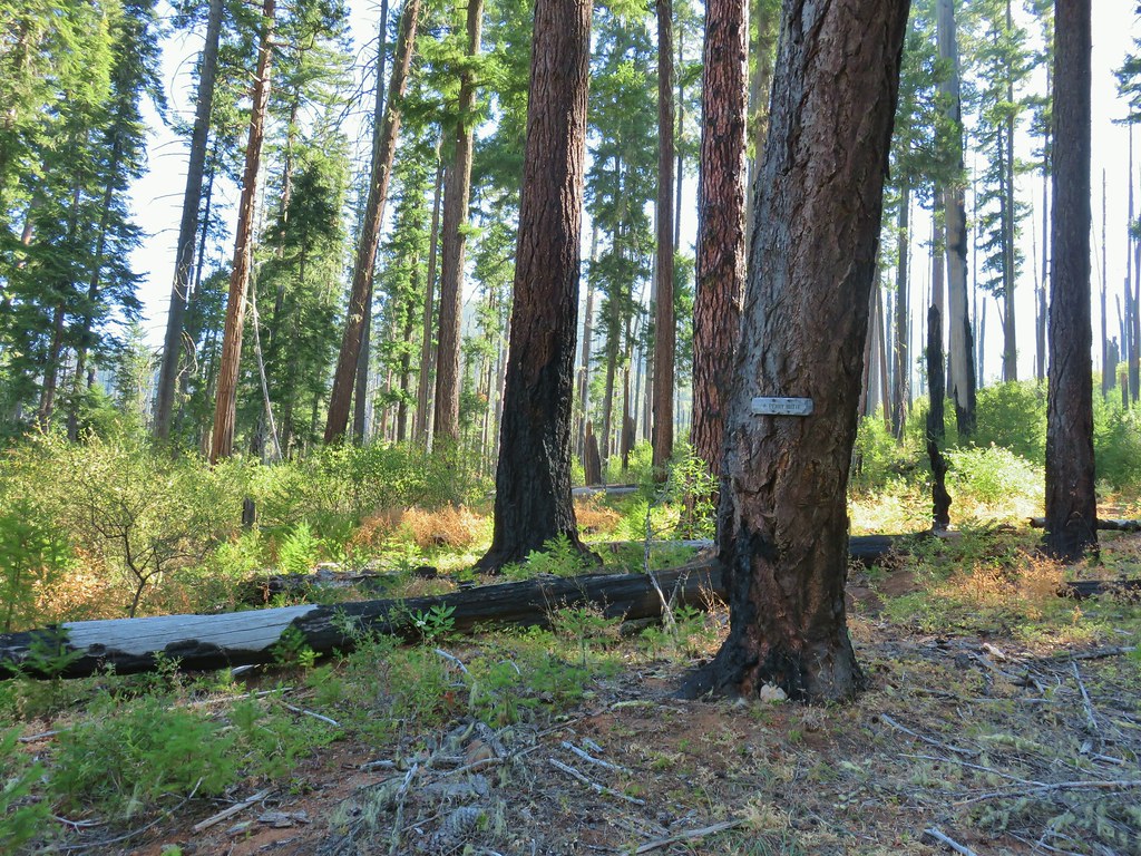
 Ponderosa Pines in the Boulder Creek Wilderness
 Boulder Creek Wilderness
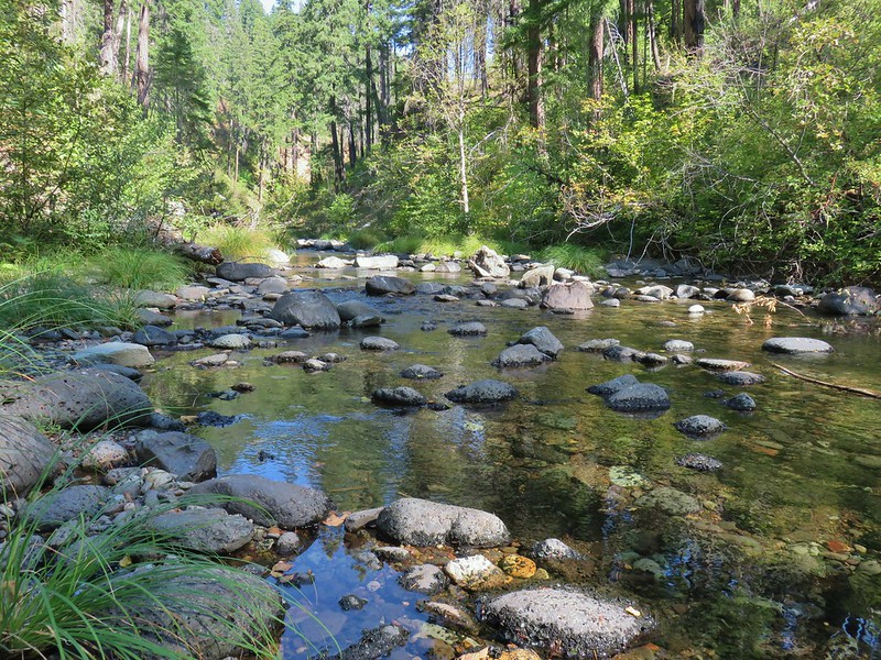 Boulder Creek
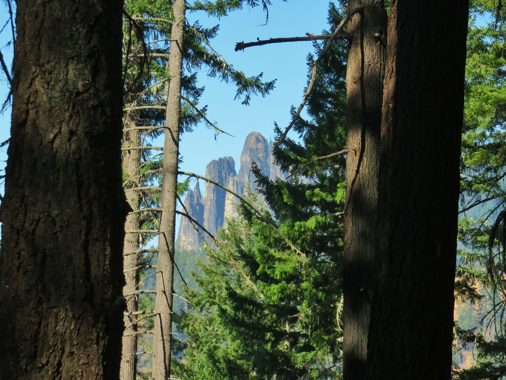
 The Palisades
 Gearhart Mountain
 Looking down from Gearhart Mountain
 Meadow below Gearhart Mountain
 Looking up at Gearhart Mountain
 Buck Canyon Trail
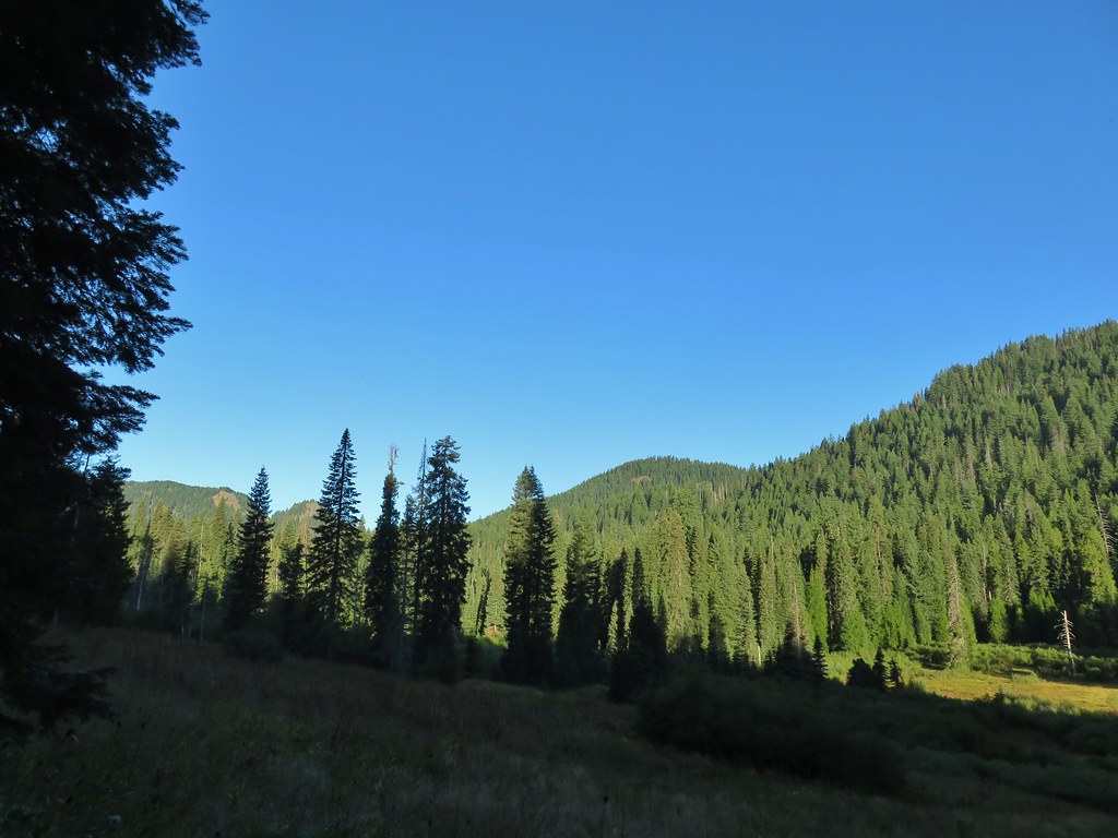 View from the Buck Canyon Trail
 Hummingbird Meadows Trail


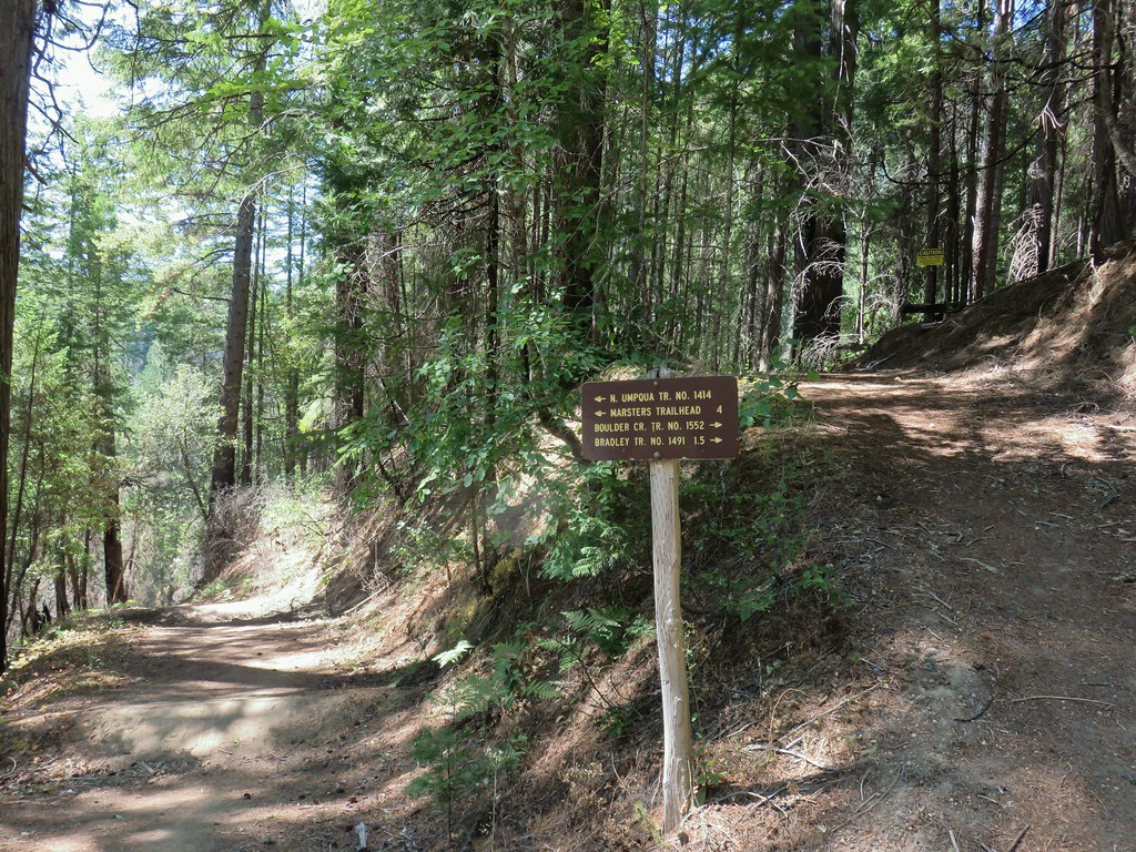
 Bradley Trail passing below some cliffs.
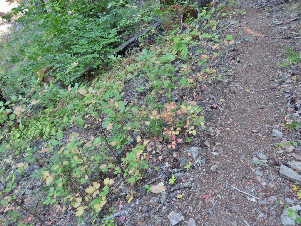 A lot of the poison oak was turning color which made it easier to spot.
 Entering the 2017 fire scar.
 Lizard
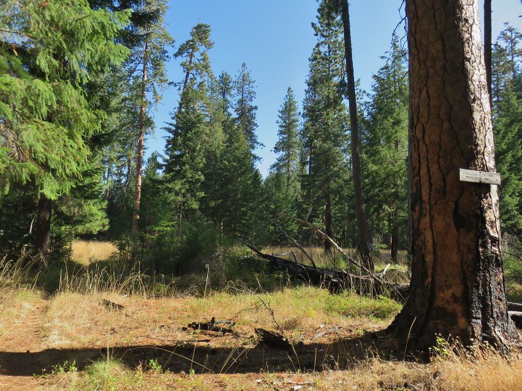
 Bradley Trail arriving at Pine Bench.
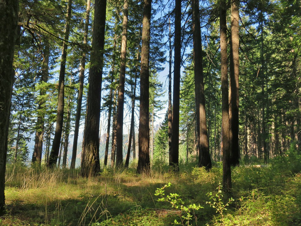
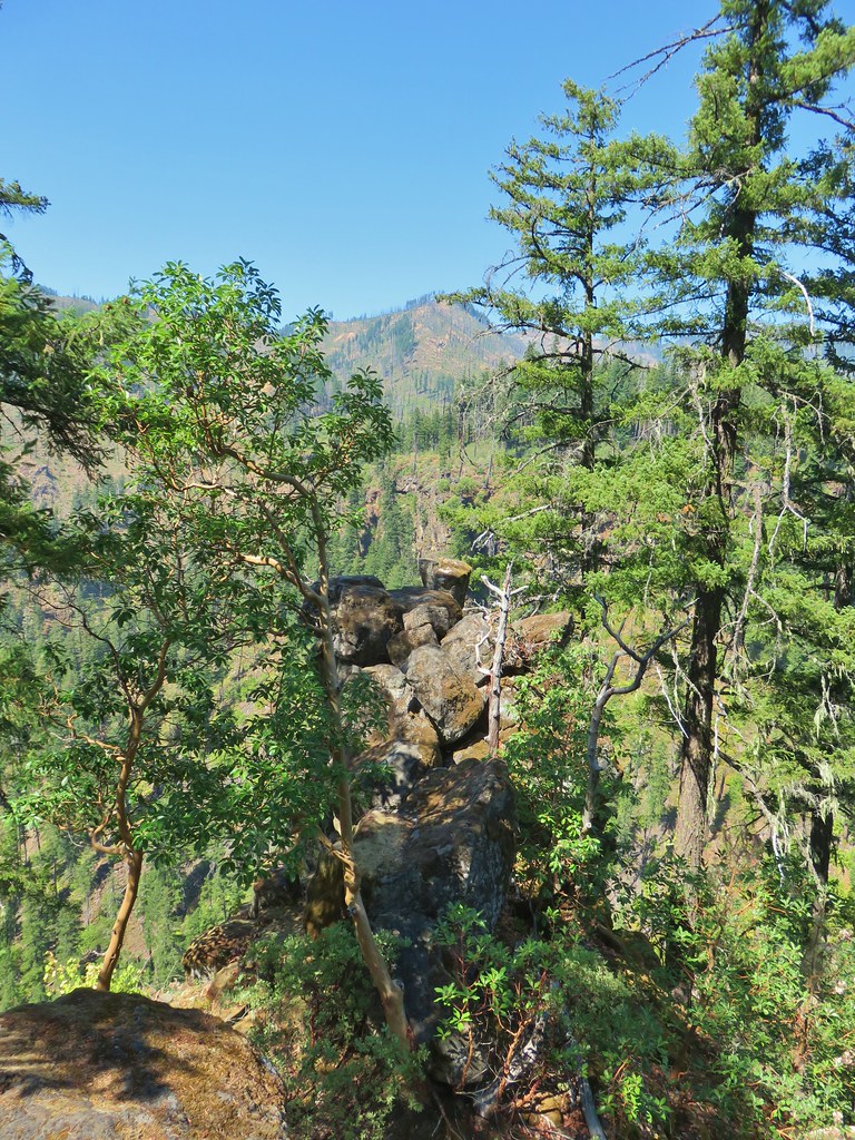
 Rock formation visible from the Bradley Trail.

 Common wood nymph
 Illahee Rock Lookout

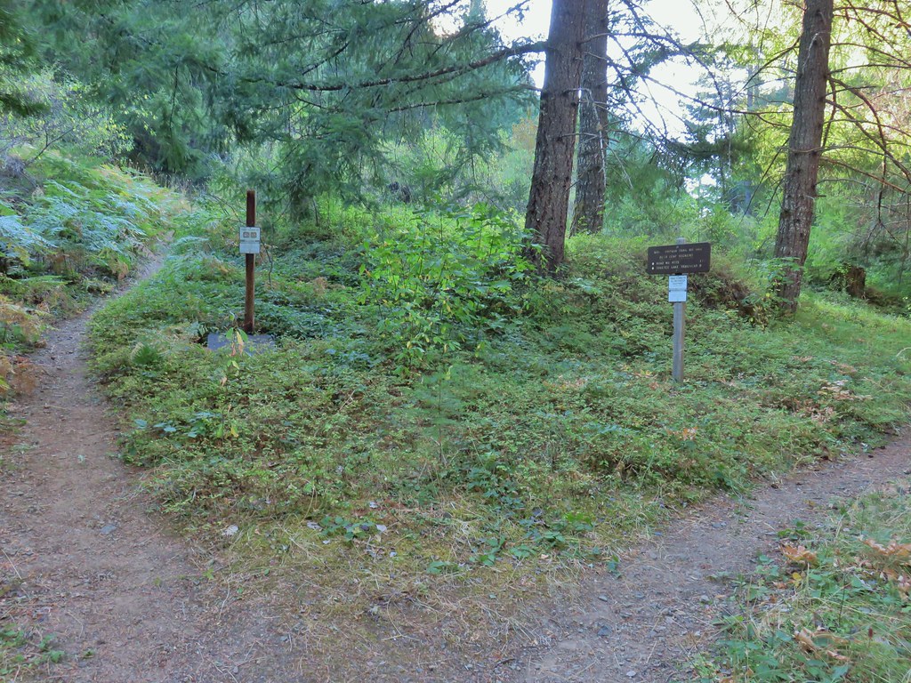
 Spur trail to the left.
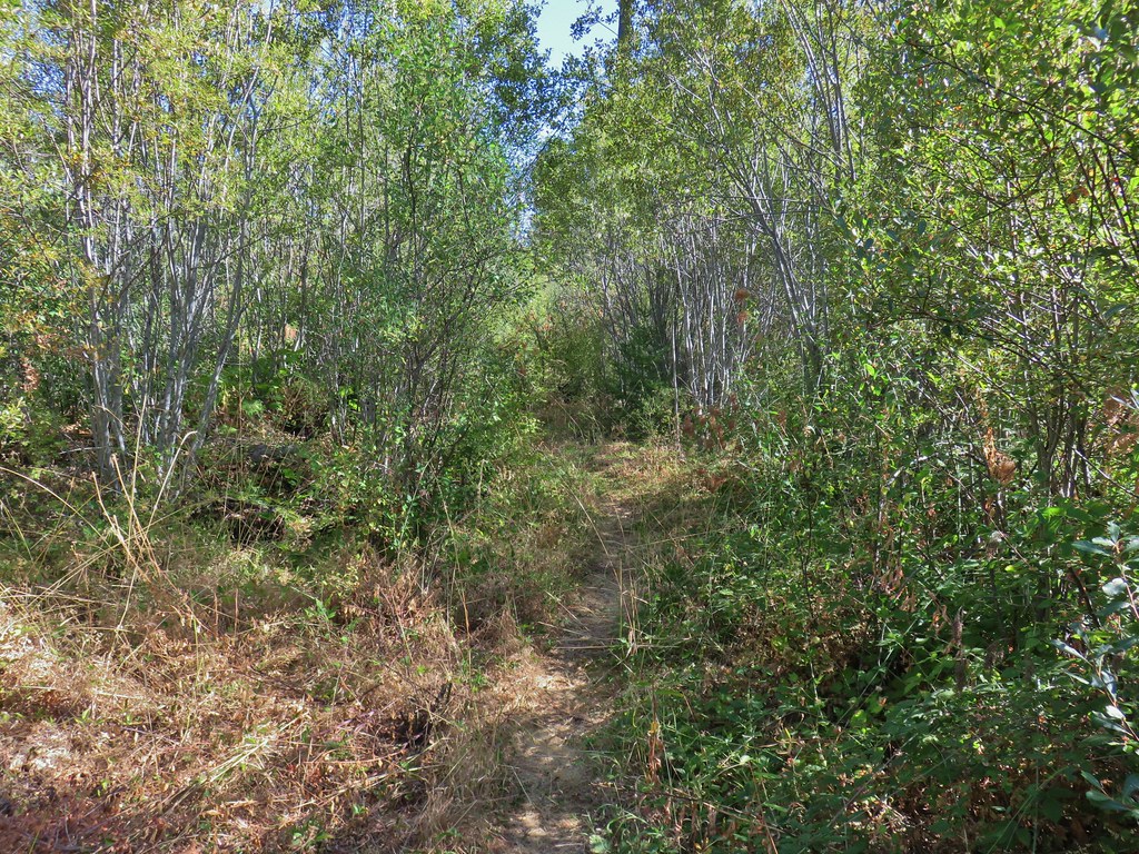
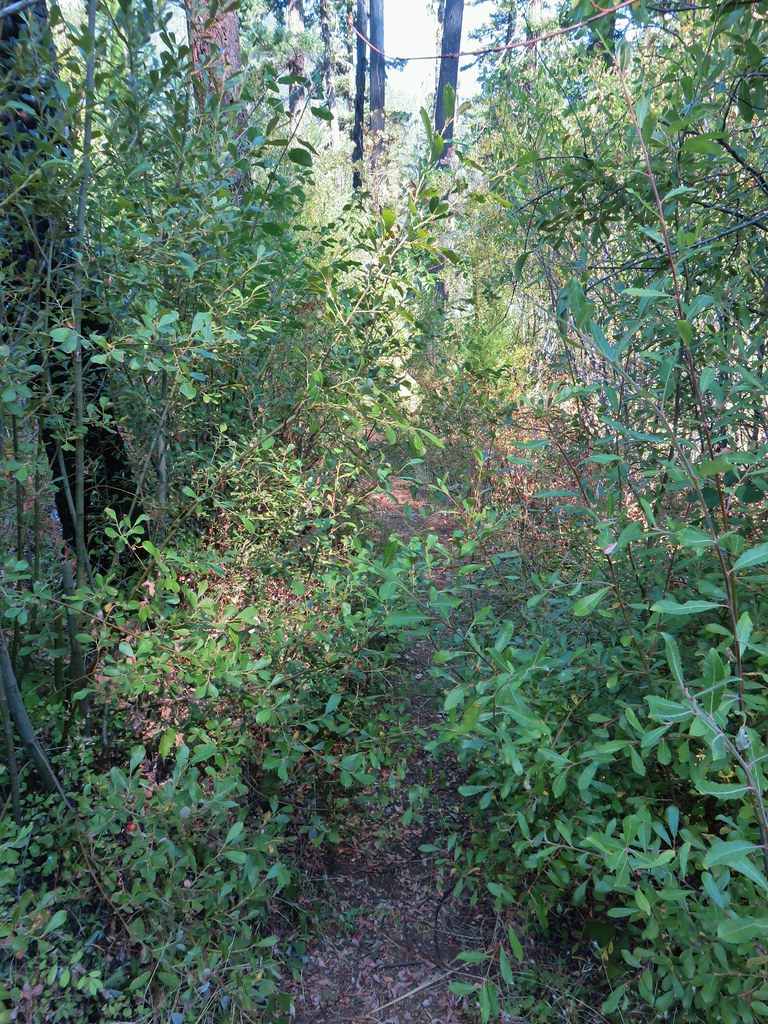
 Just over half a mile from the campsite we passed the very faint Perry Butte Trail.
 Trail maintenance and ripe blackberries.
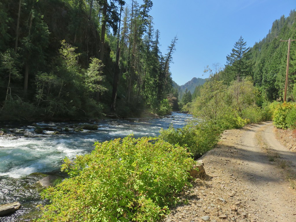
 Looking up the Boulder Creek Valley
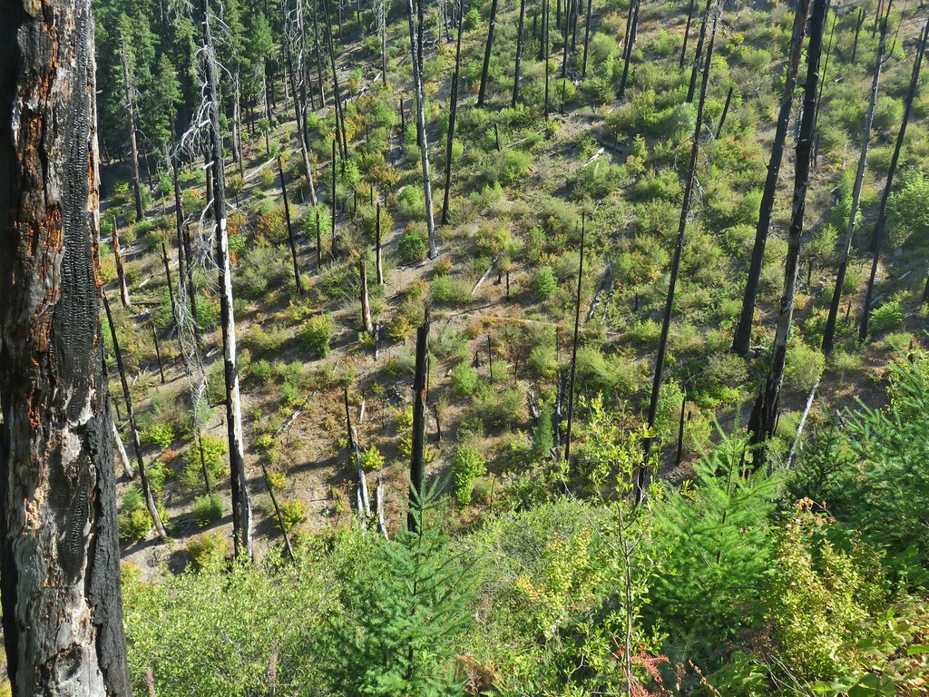 Looking down at the trail across a side drainage.
 Looking across the Boulder Creek valley.
 Small fall on Boulder Creek
 Final drop down to Boulder Creek.
 Boulder Creek
 The continuation of the Boulder Creek Trail on the far side of Boulder Creek which reportedly becomes even fainter and more wild.


 Fern tree along the Boulder Creek Trail.
 This log was the trail.
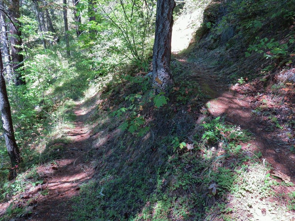 Another switchback with poison oak on all sides of the trail.