We wanted to get one last hike in on the way home from Central Oregon. Originally we’d planned on hiking up to the summit of the Middle Pyramid on the Three Pyramids Trail, but we were greeted with clouds and rain as we came to Santiam Pass. Knowing there wouldn’t be any views we changed our plans and headed to Clear Lake 10 miles south of the Santiam Jct. on Highway 126.
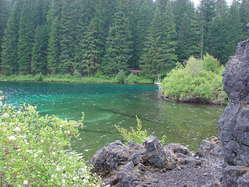
The McKenzie River begins at Clear Lake where old lava flows created the lake by covering and damming the river. On a clear day The Three Sisters and Mt. Washington can be seen from various points around the lake but with the clouds we would be content with the clear, colorful water of the lake.
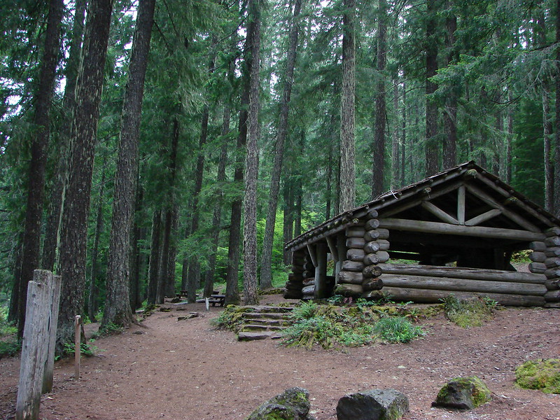
We began our counter-clockwise loop at a picnic area near the Clear Lake Resort.
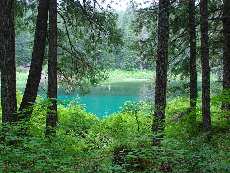
The trail passed through a nice Douglass Fir forest with glimpses of the lake to our left where we spotted our first on trail beargrass of the year.

At about the one mile mark on an arm of the lake which feeds the McKenzie we got our first taste of the draw of Clear Lake.
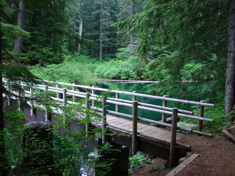
A footbridge led us over the outlet of the McKenzie River to the eastern shore of Clear Lake.

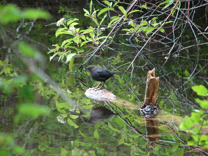
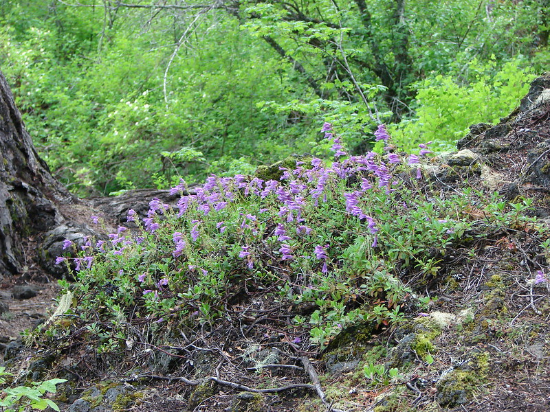
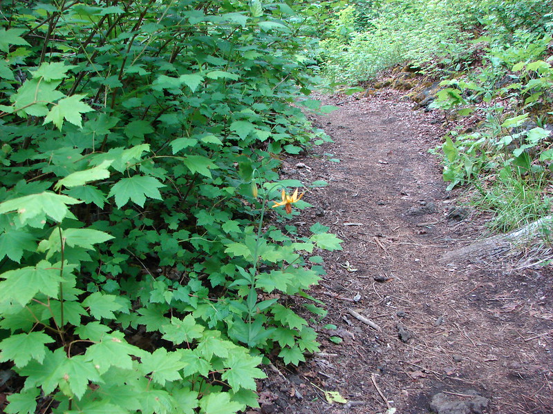
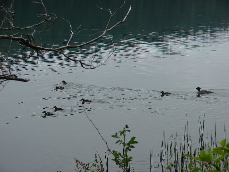
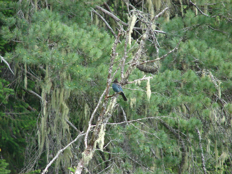
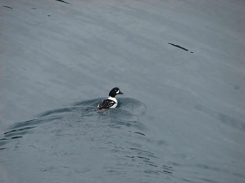
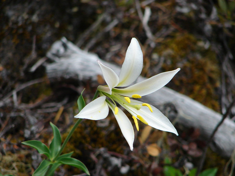
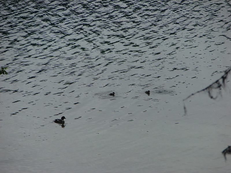
The trail on the eastern side spent more time in the open and closer to the lake as it crossed over several lava flows. Here we spotted several birds, ducks, and colorful wildflowers.
Ouzel
Penstemon
Tiger Lily
Merganser and her ducklings
Wild Rose

Stellars Jay
Barrow’s Goldeneye
Washington Lily
Another family of ducks
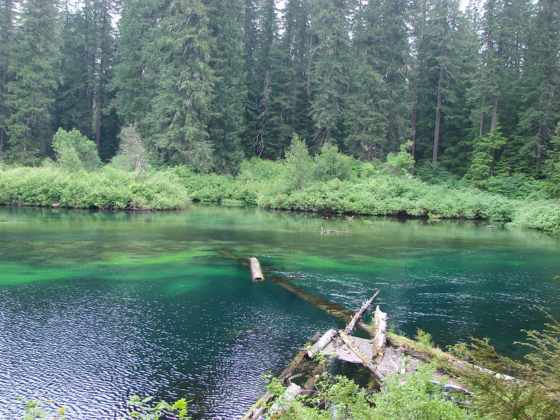
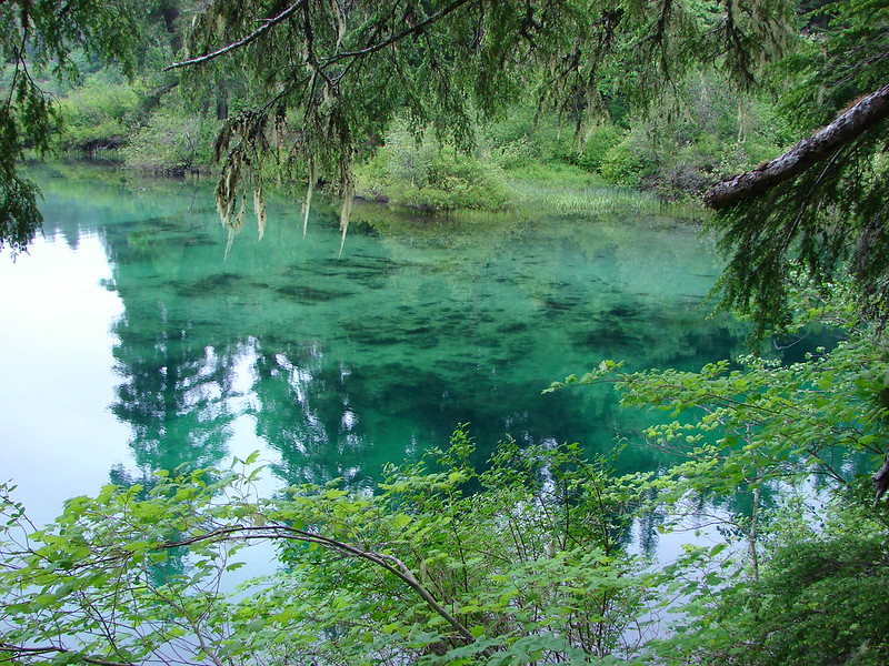
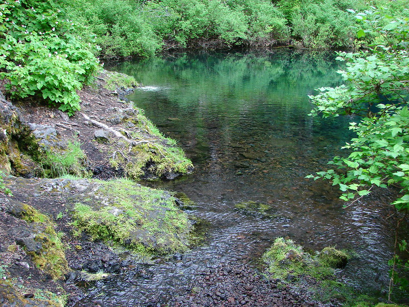
The water in the lake became more colorful as we arrived across the lake from the resort.
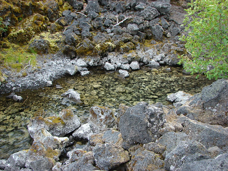

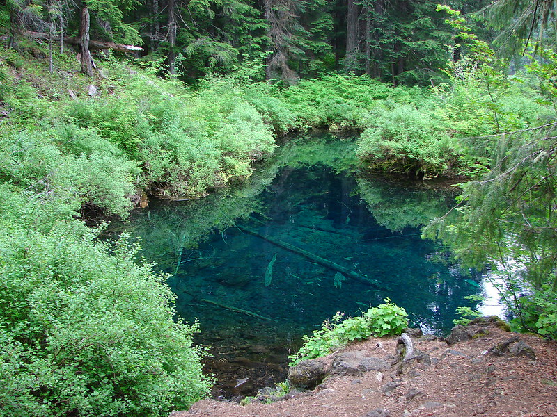
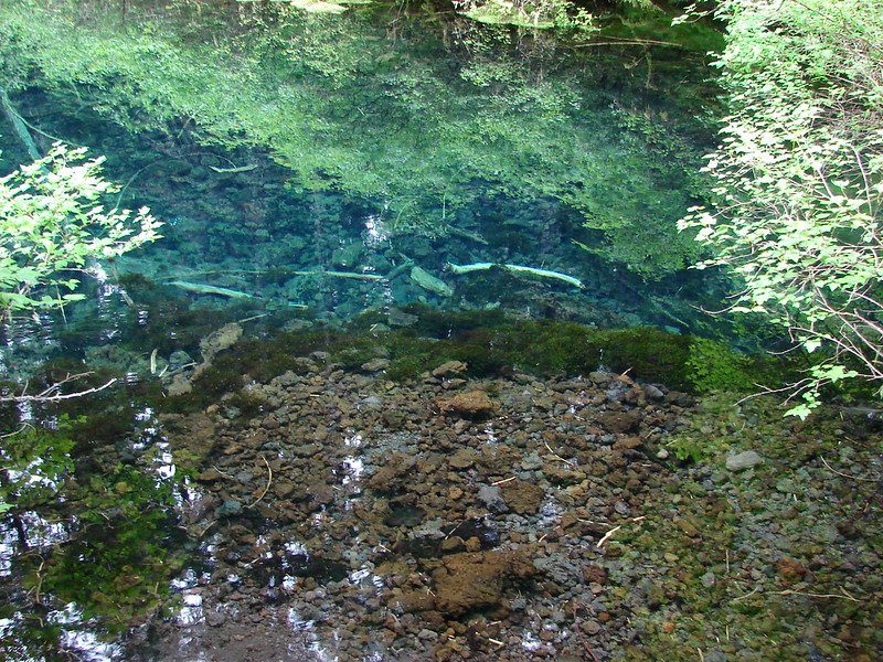
Shortly after passing the resort on the far shore we came to the Great Springs which feed the lake with 38 degree water allowing the lake to remain unfrozen all year. They emptied into a beautiful small pool reminiscent of the Tamolitch Pool which lies further down the McKenzie.
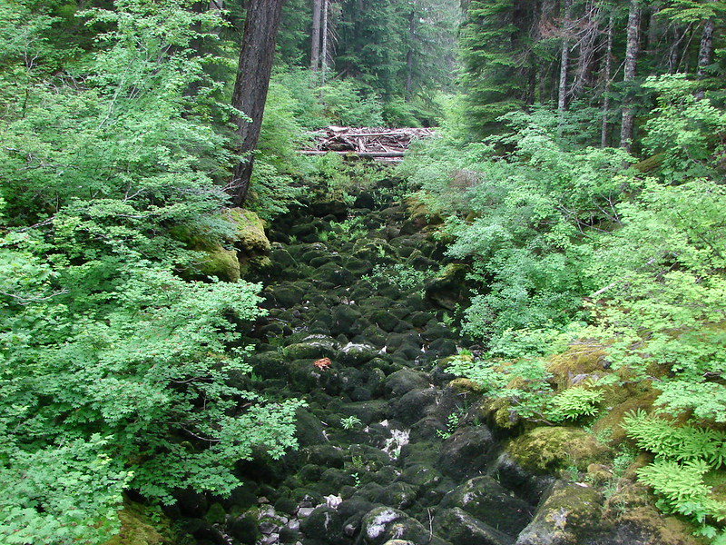
After the Great Springs the trail crosses Fish Lake Creek on a footbridge. This creek only flows during the Spring snow melt.
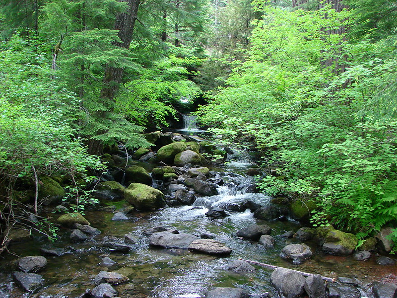
Finally we swung out around an arm of the lake where Ikenick Creek flows into the lake.
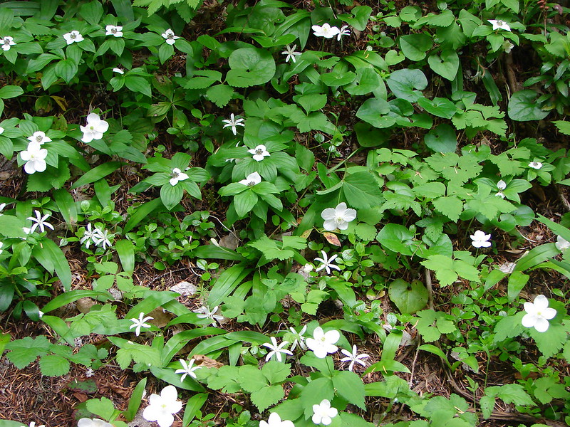
Back on the west side of the lake we were again in the fir forest where many white woodland flowers were in bloom.
We quickly reached the resort area which was busy with campers. The picnic area was just on the other side and before we knew it our Central Oregon hiking tour was over (for now). Happy Trails!
flickr: https://www.flickr.com/photos/9319235@N02/sets/72157644778548280/
Facebook: https://www.facebook.com/deryl.yunck/media_set?set=a.10204239083124439.1073741887.1448521051&type=1

5 replies on “Clear Lake”
[…] A Forest Service Ranger came out to greet us and give us an informative lesson on Sand Mountain and the surrounding geologic area. Sand Mountain is the largest in a series of 23 cinder cones formed along a N-S fissure which also includes 42 distinctive vents and over three quarters of a cubic mile of lava. She informed us that the snow melt from Sand Mountain seeps through the cinder and ash into a large aquifer where after approximately 2 years it makes its way into Clear Lake via the Great Springs and then down the McKenzie River. (post) […]
[…] A combination of a day off, a favorable forecast and a need to drive to Bend to pick up some Christmas items provided the perfect excuse to check out a section of the McKenzie River National Recreation Trail. This would be our third hike on this 26.4 mile long trail, all on different sections (Tamolitch Pool and Clear Lake). […]
[…] #60 – Clear Lake 6/15/2014 […]
[…] had contemplated hiking the McKenzie River Trail down to Clear Lake (post) prior to returning to the car but that was before I knew how far our hike to Sand Mountain was […]
[…] we’ve now hiked much of the 26.5 McKenzie River Trail. Red – Clear Lake, June 2014 (post). Green – Tamolitch Pool, May 2013 (post), Cyan – Middle segment, November 2020 […]