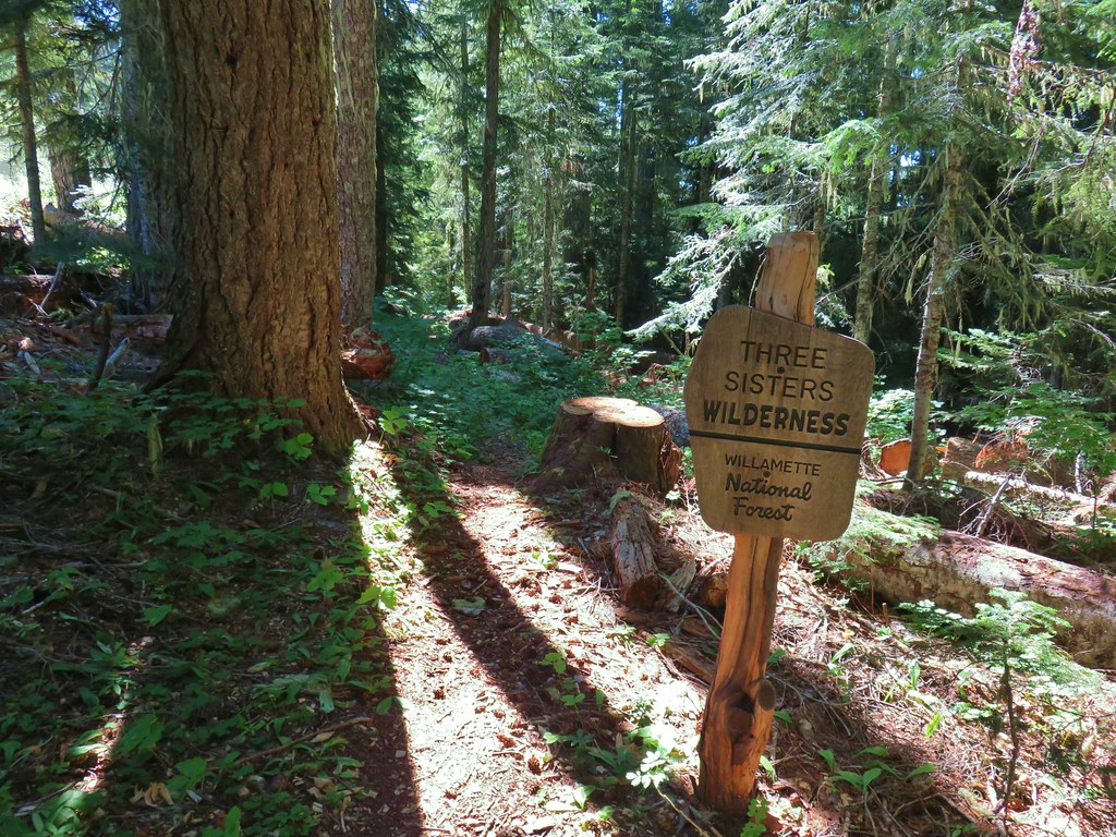
For our final outing of Labor Day Weekend we set our sights on a pair of peaks in the Three Sisters Wilderness. Both the Lowder Mountain Upper Trailhead and Pat’s Saddle Trailhead (for Olallie Mountain) are located just 2 miles apart along Forest Road 1993. These were two more featured hikes from Sullivan’s 4th edition Central Cascades guidebook that we had yet to do. (Olallie Mountain was removed from the featured hikes in the 5th edition due to a 2017 fire that burned much of the route.) On their own the hike to driving time ratios didn’t pan out, but doing them both on the same day would, and as it turns out FR 1993 was in excellent shape allowing for a driving time closer to 2 1/2 hours versus the nearly 3 hours that Google predicted.
We drove south to Eugene and took Highway 126 four miles east of Blue River where we turned right on FR 19 to Cougar Dam. After turning left on FR 1993 and crossing the dam we followed the road 11.2 miles to the Pat’s Saddle Trailhead.
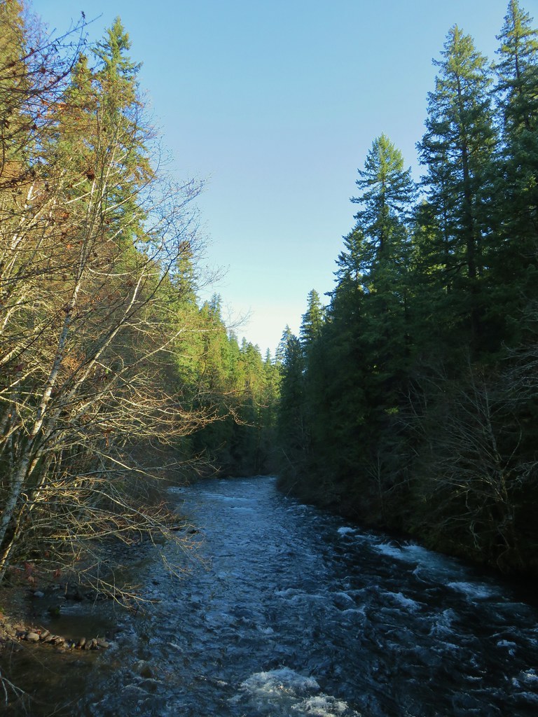
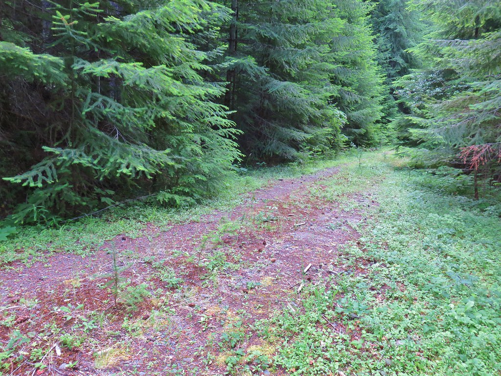
We chose to start with Olallie Mountain for a couple of reasons, first we thought that the lack of tree cover due to the fire might make this a warmer hike later in the day and second it was the longer of the two hikes. There are a couple of trails that leave from this trailhead. The French Pete Creek Trail is the first trail on the right. The upper section of this trail is not maintained (according the Forest Service webpage) and the forest around the lower section was impacted by fires in both 2017 and 2018. We hiked the first 5 miles of the trail from the lower trailhead prior to the fires in 2015 (post)

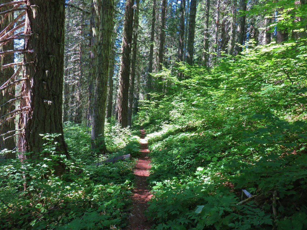
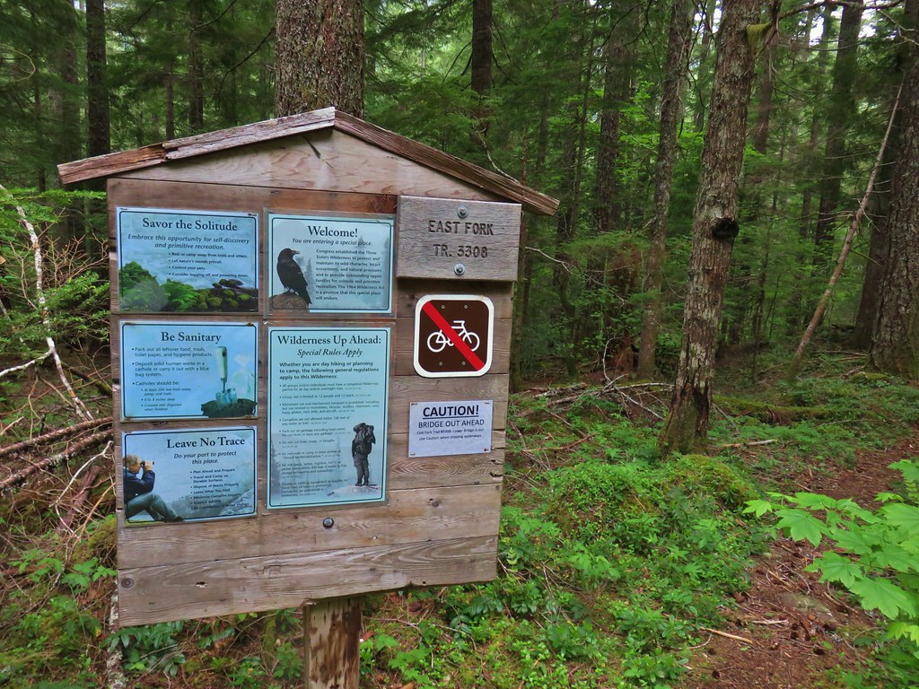
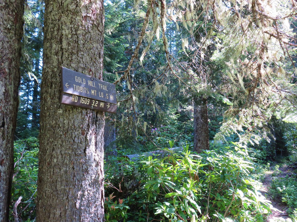
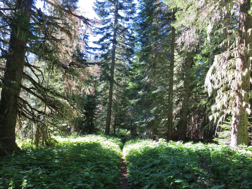
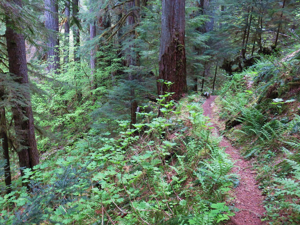
The trail we were taking on this trip was the second one on the right, the Olallie Trail.

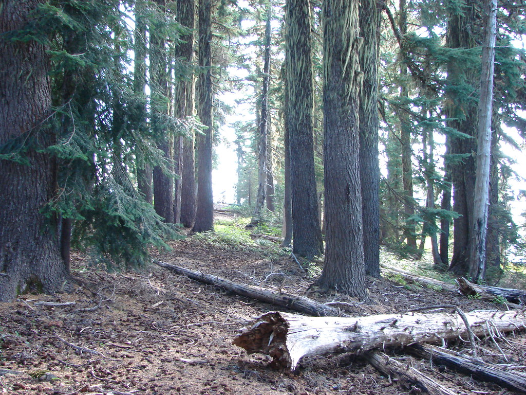
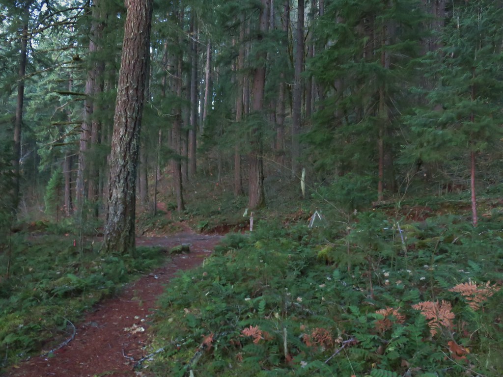
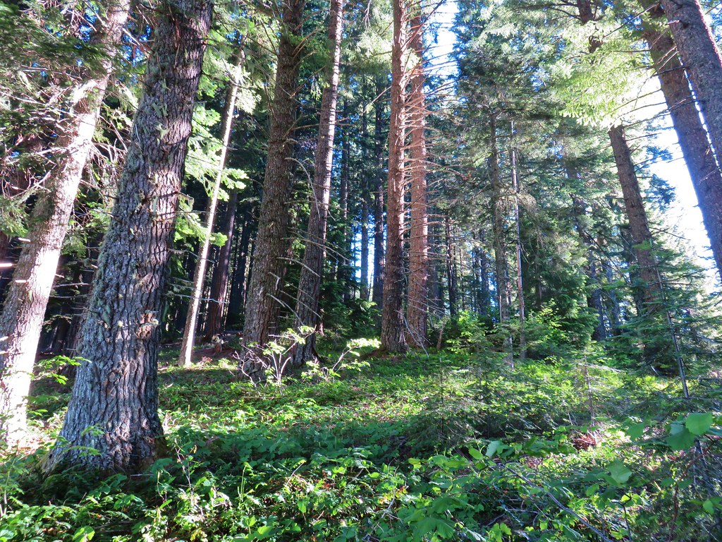
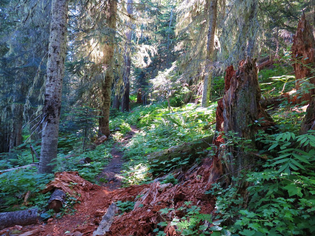
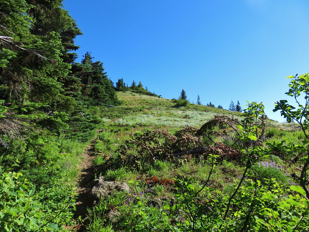
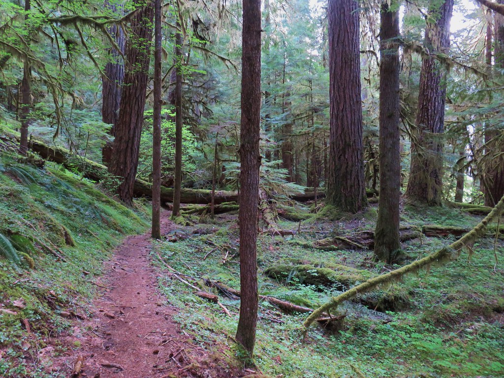
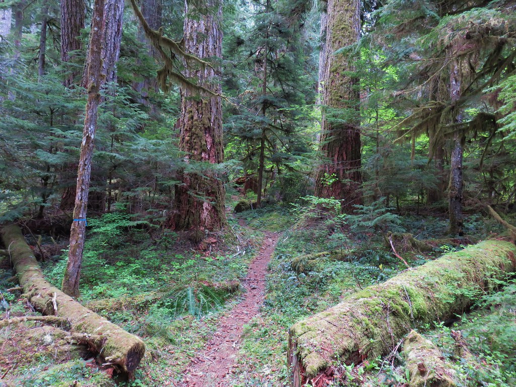
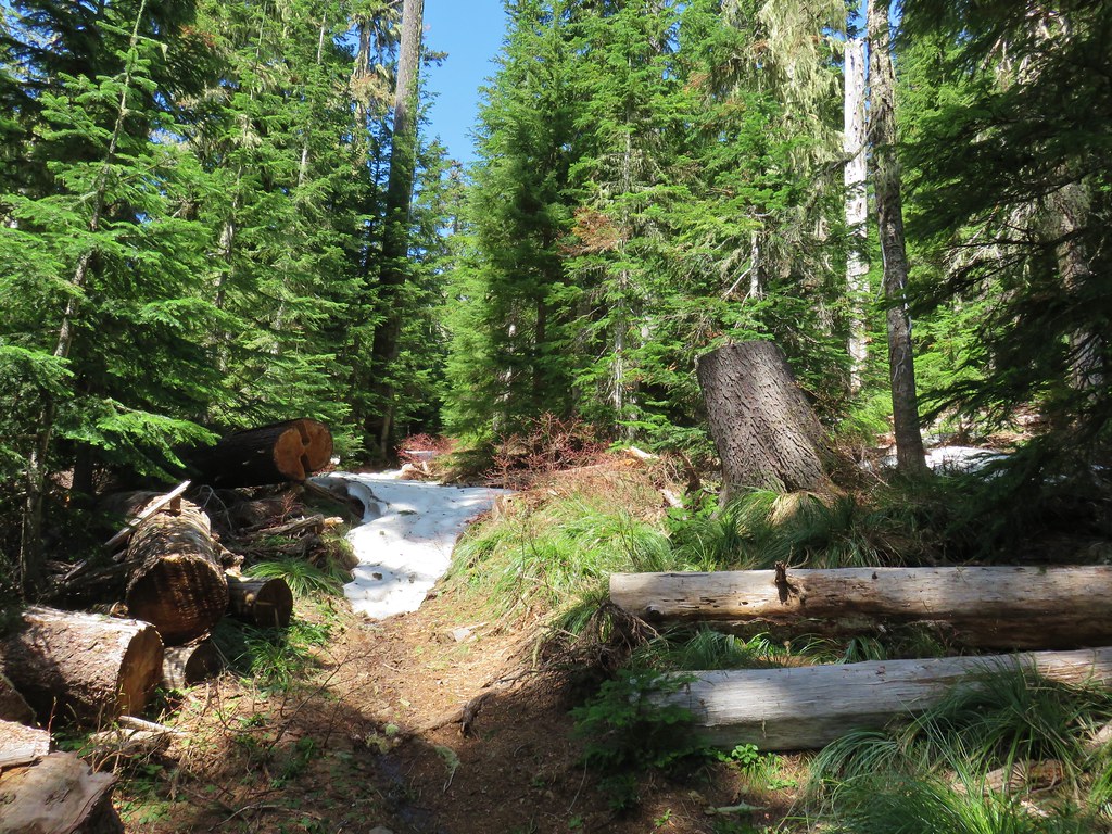
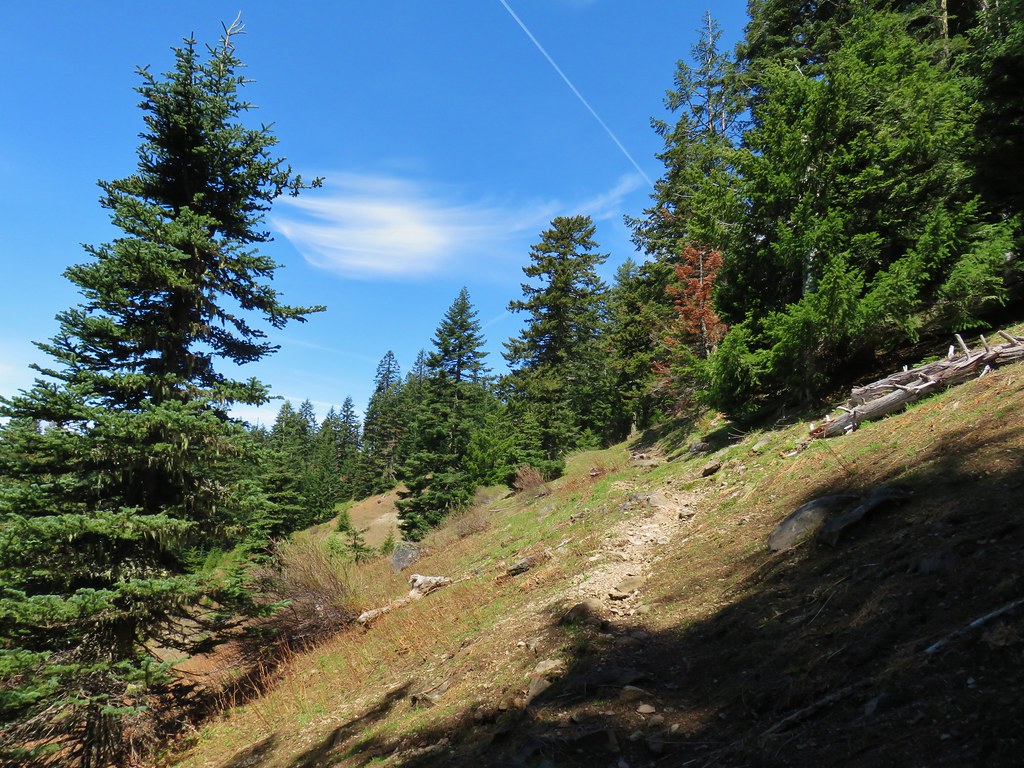
This trail promptly enters the Three Sisters Wilderness amid old growth that escaped the fire.


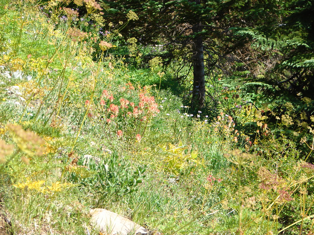
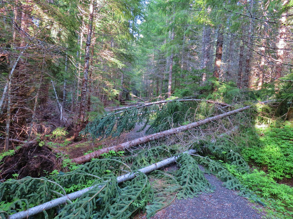
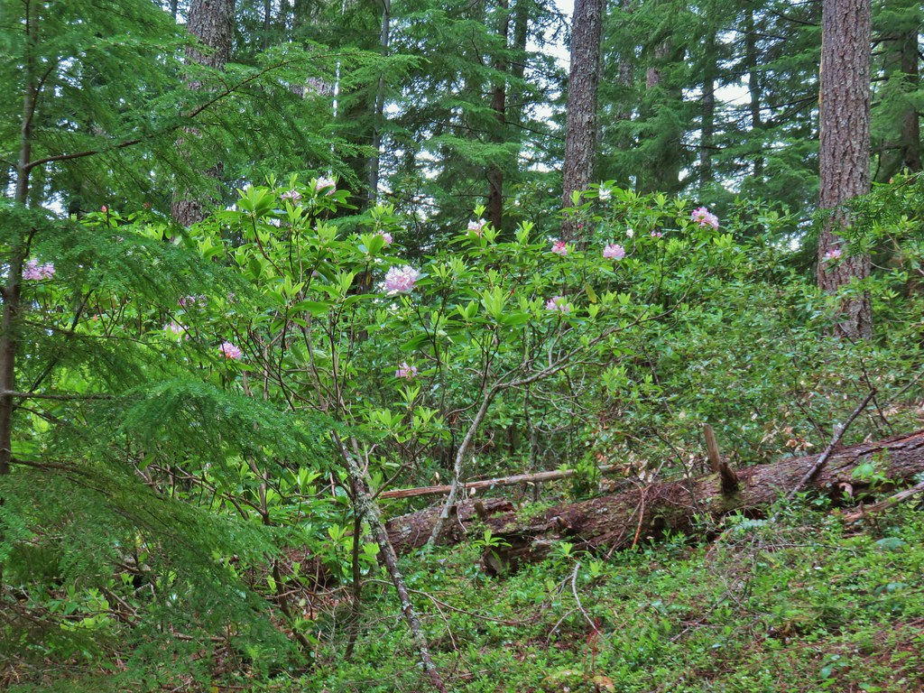
The signs of the fire could be seen after about a third of a mile.
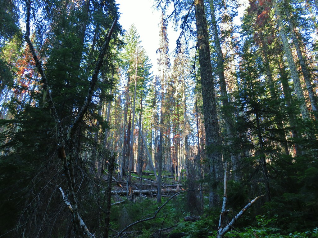
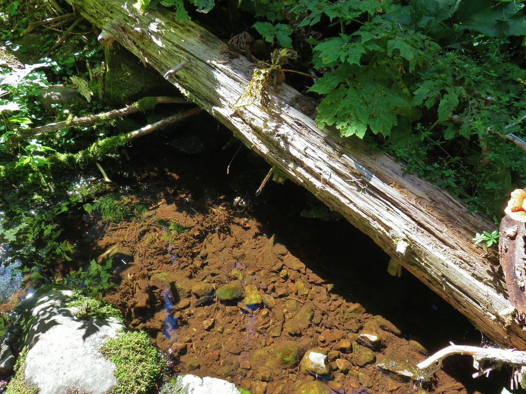
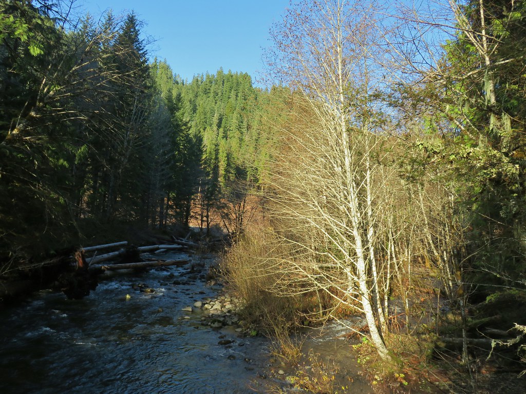
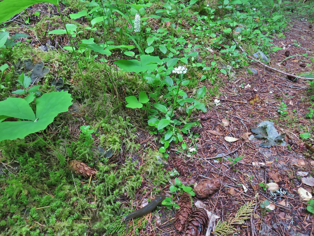
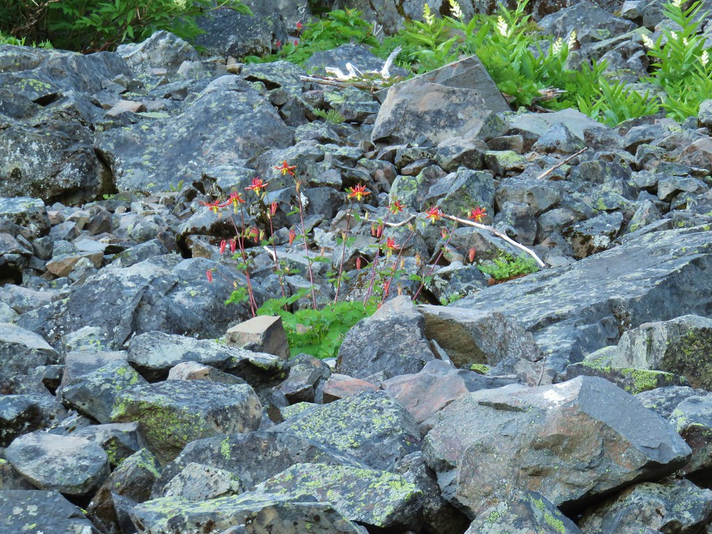
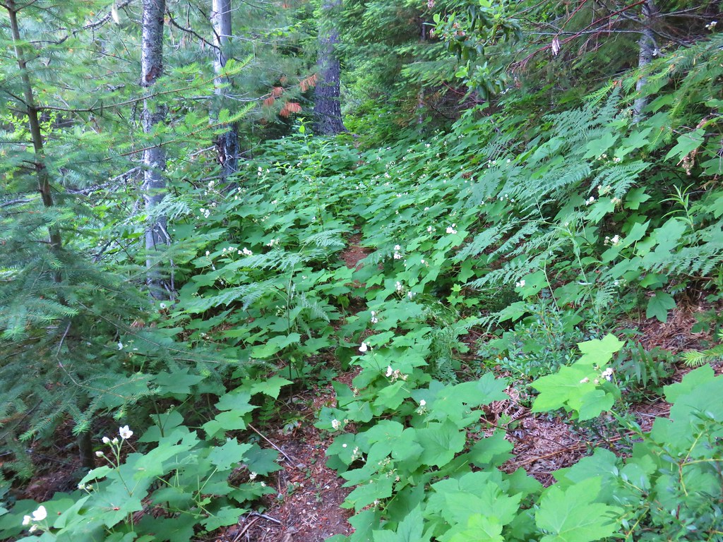
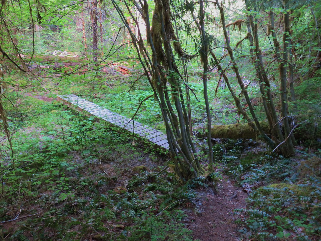
At the half mile mark we arrived at a small stream flowing from Wolverine Lake which was about a quarter mile uphill on our right. The forest on the right hand side of the trail had burned pretty good while the left hand side had fared much better. There was already plenty of green vegetation growing amid the snags on the hillside though.

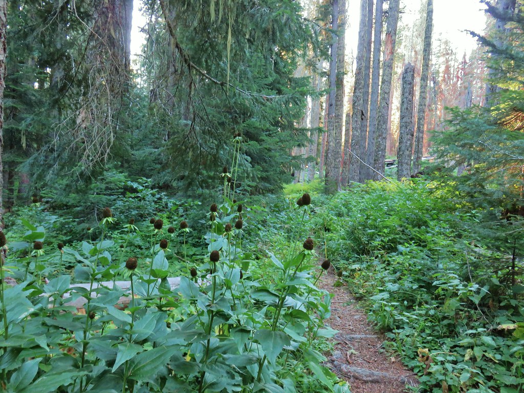
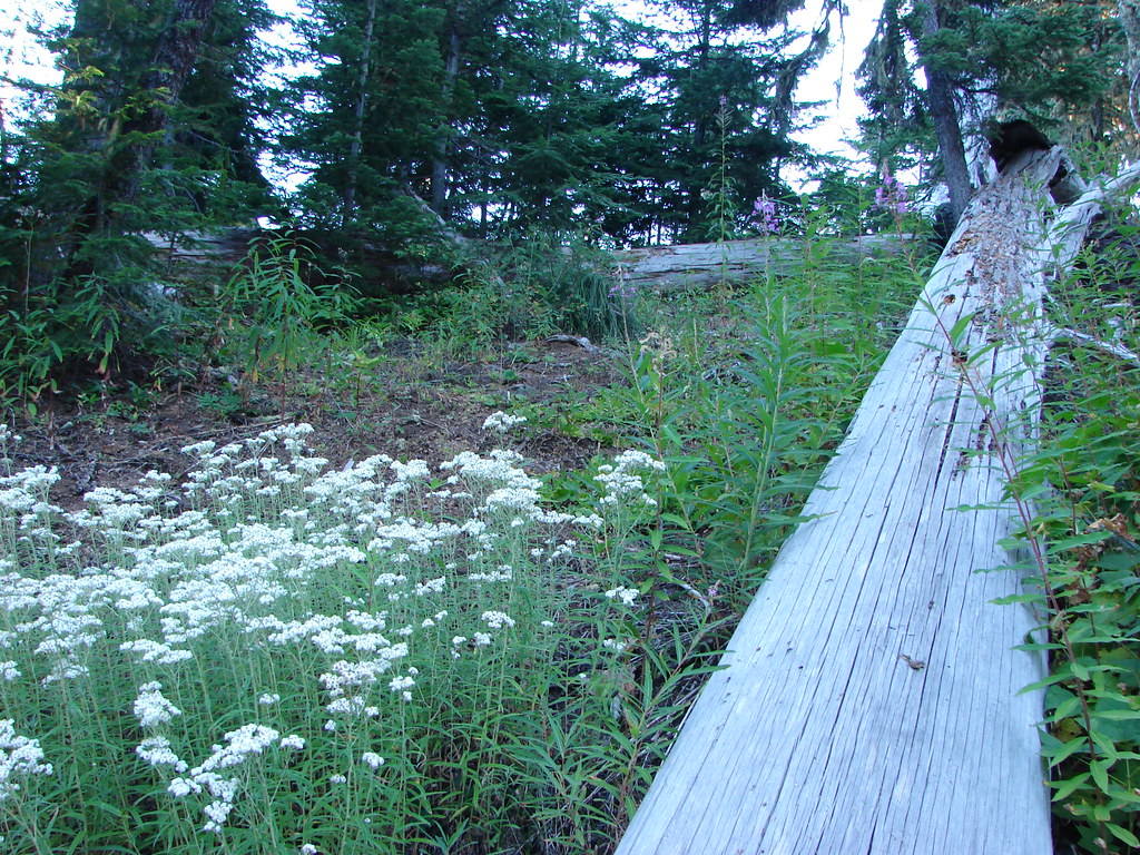
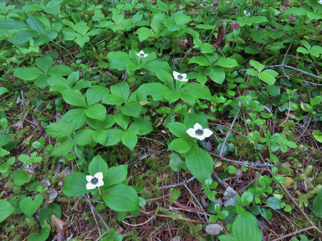
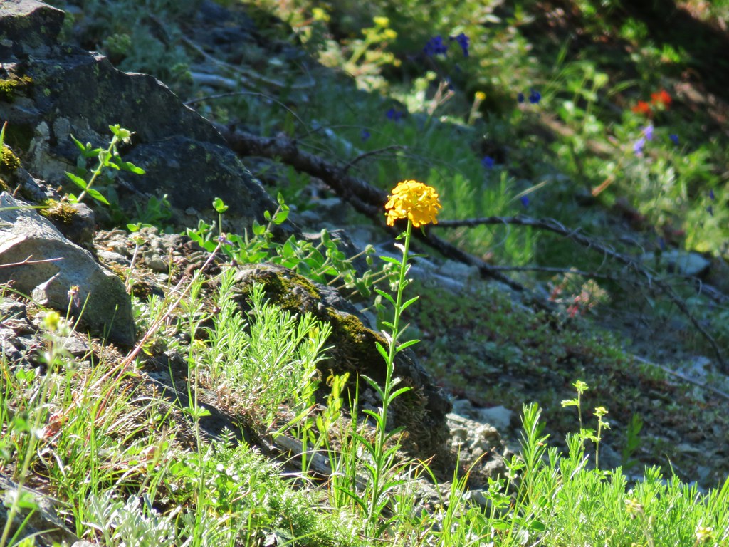
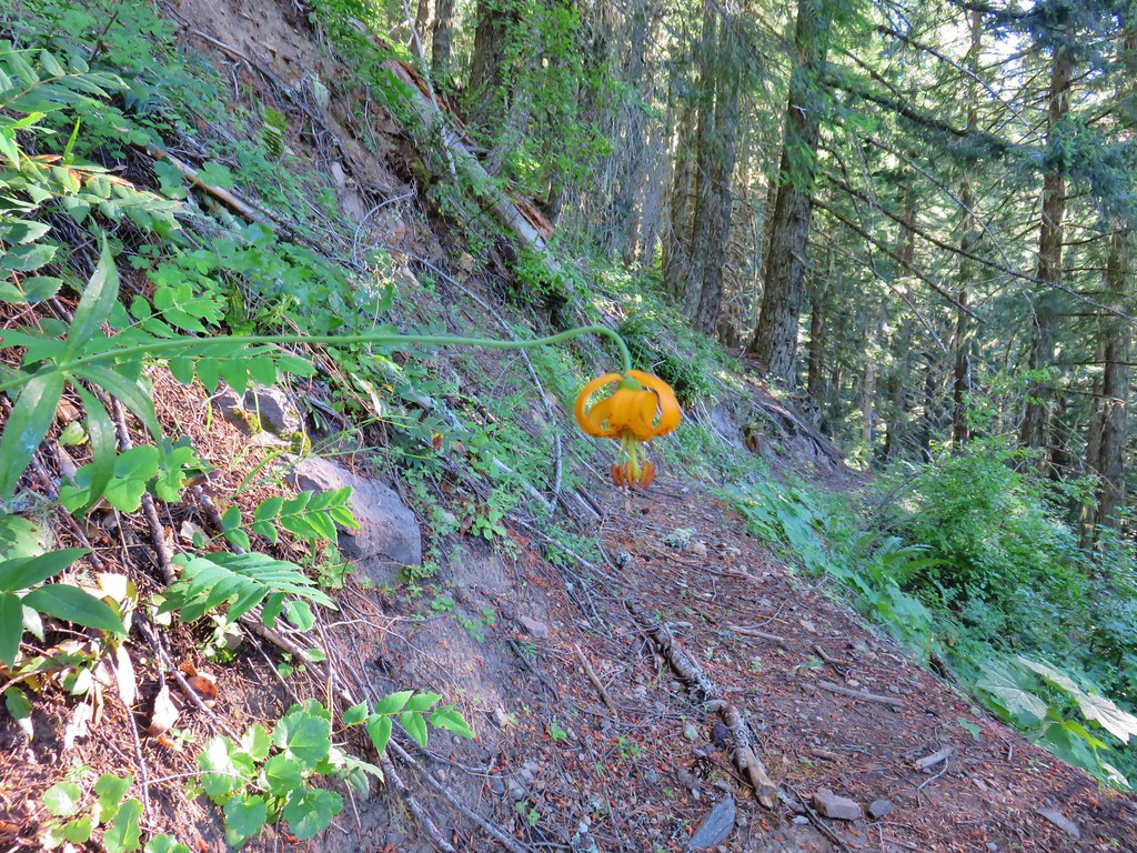
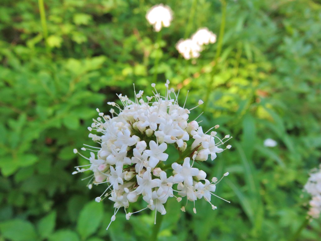
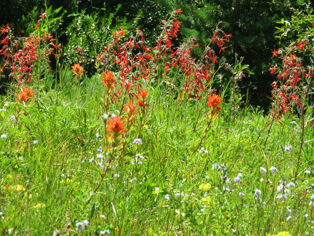
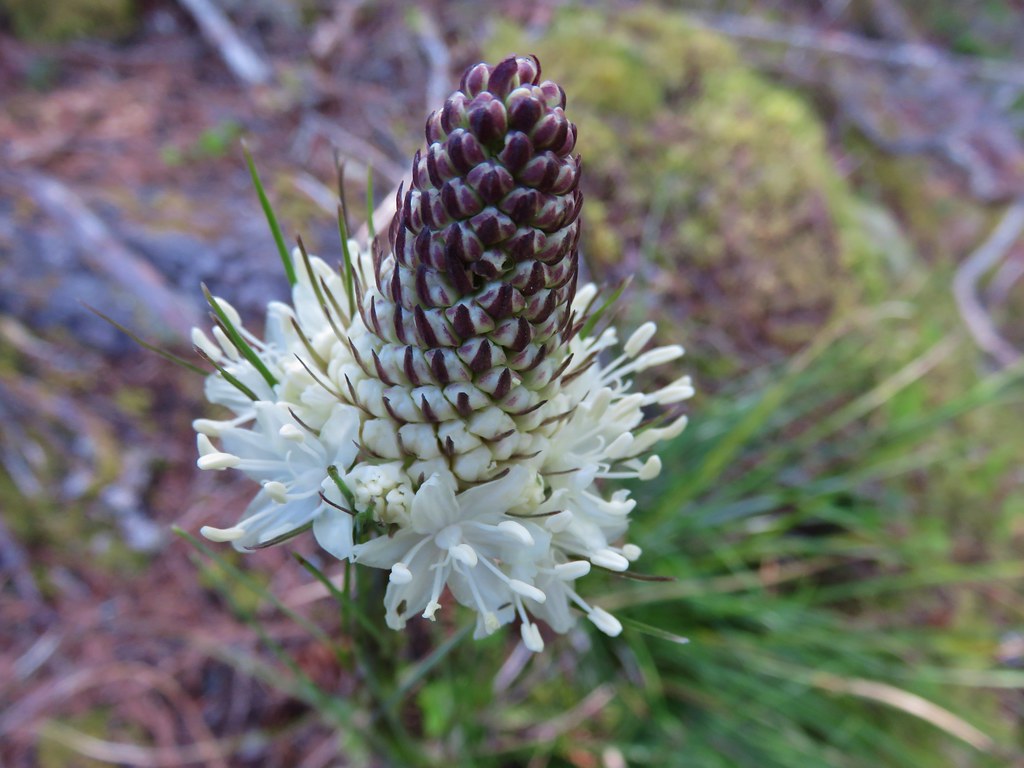
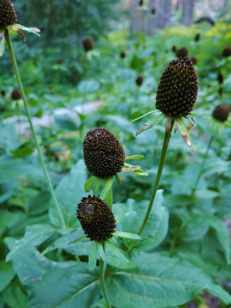 Cone flower
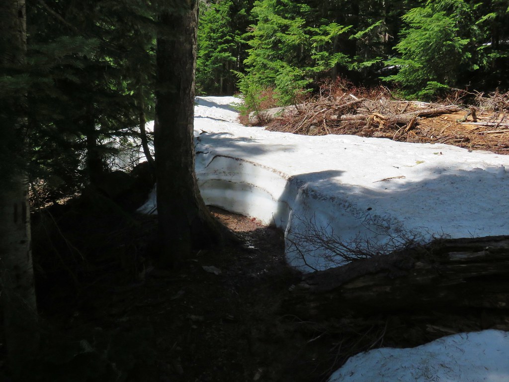
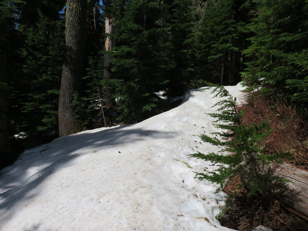
Sullivan had mentioned visiting Wolverine Lake by heading uphill cross country after crossing over the stream but the vegetation here looked pretty thick so we waited until we had climbed a bit beyond the stream and angled back toward the lake.
 Cross country to Wolverine Lake.
There were a fair number of trees down from the fire so it wasn’t too difficult to reach the lake, but it was tricky trying to get a good look at it due to the brushy shore.

It looked like there might have been a better vantage point around the lake to our right, but it wasn’t worth fighting through the brush and fallen trees to try and reach it so we settled for the view we had and headed back to the Olallie Trail. From above, the route down along the creek looked much more appealing and we wound up taking a track much closer to what Sullivan had shown on his map to arrive back on trail. Once we were back on trail we turned right and passed through a patch of thimbleberry bushes encroaching on the trail.

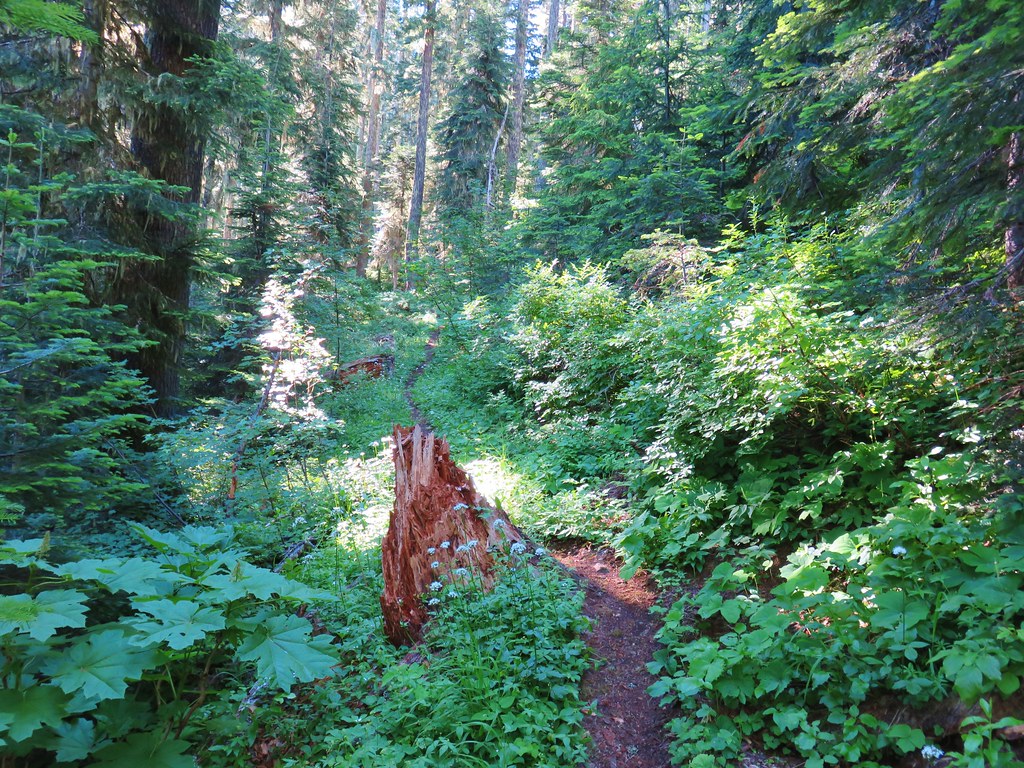
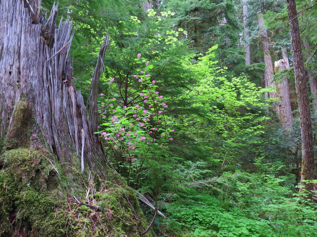
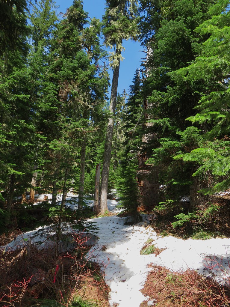
We emerged from the thimbleberries and rounded a ridge end where the forest became a bit more open and many of the trees had survived the fire.


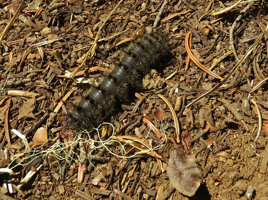
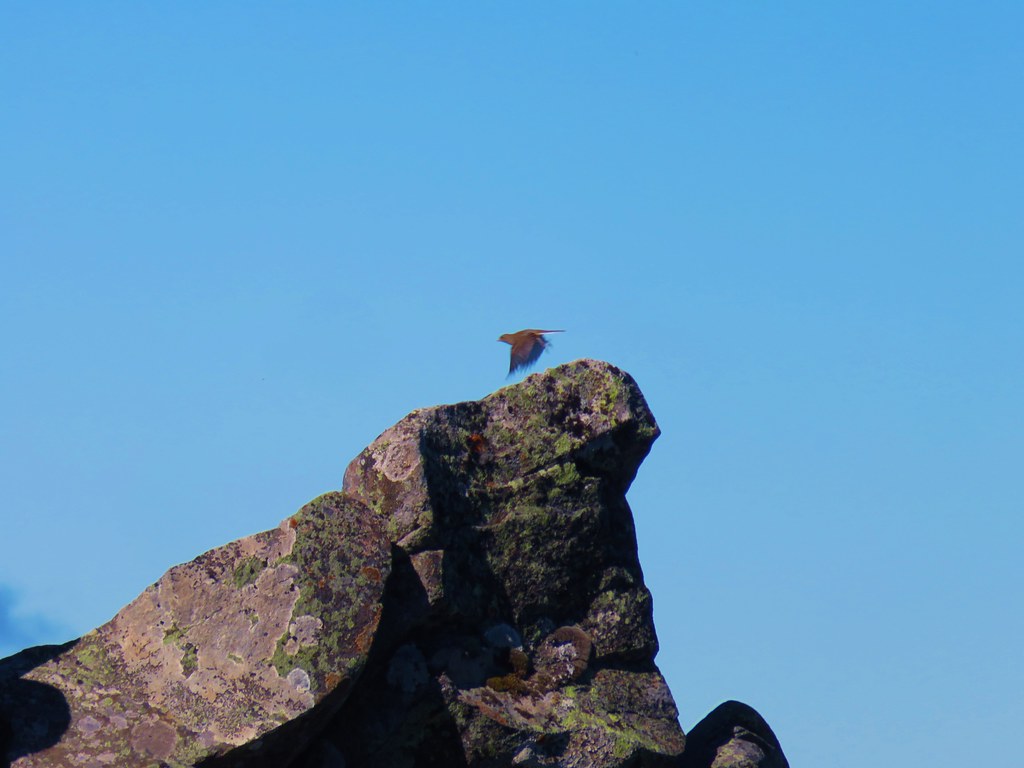
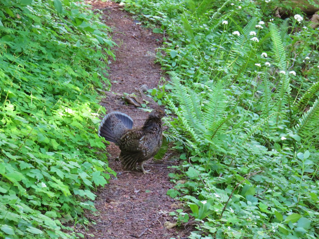
A sooty grouse caught our attention as it crossed the trail ahead of us.


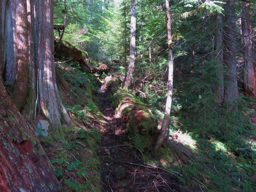
The trail climbed gradually along the hillside and we marveled at the varying effects of the fire and how the forest was in different stages of recovery already.

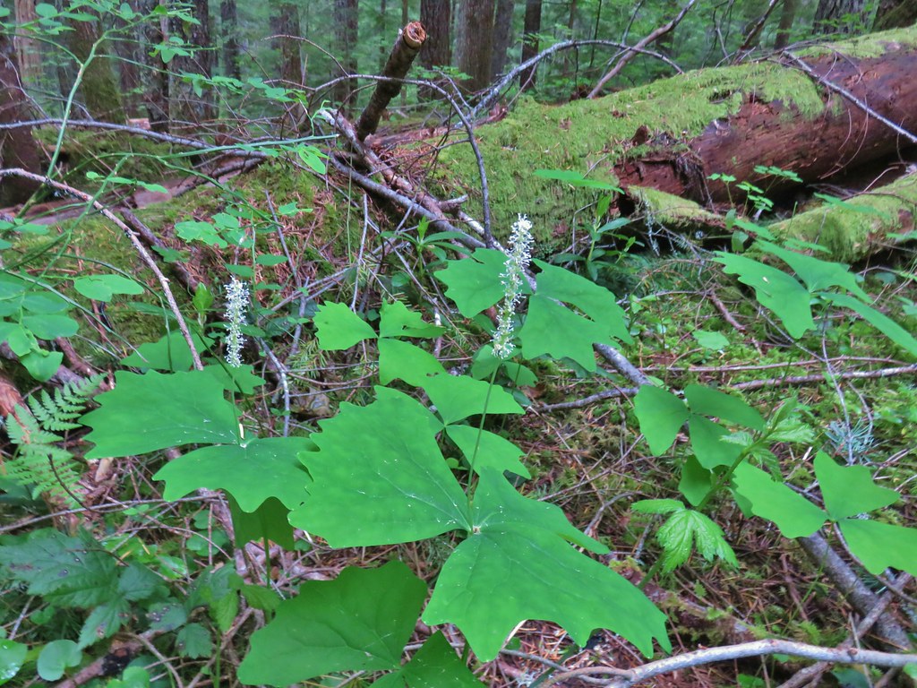
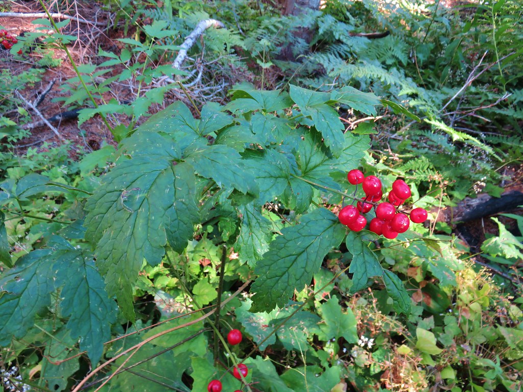 Baneberry
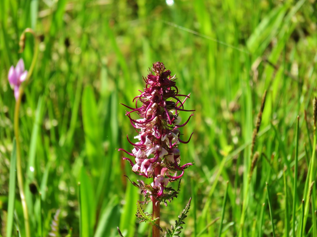
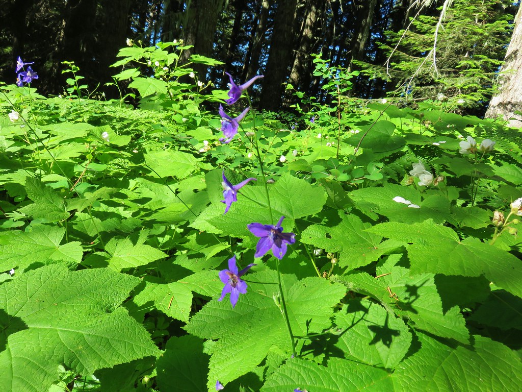
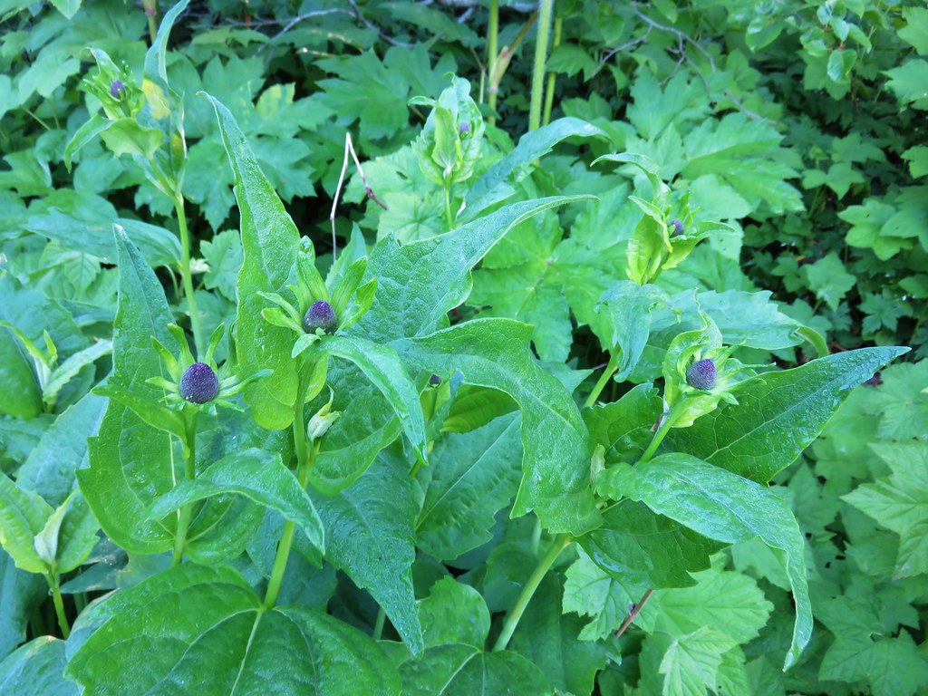
 Monkshood
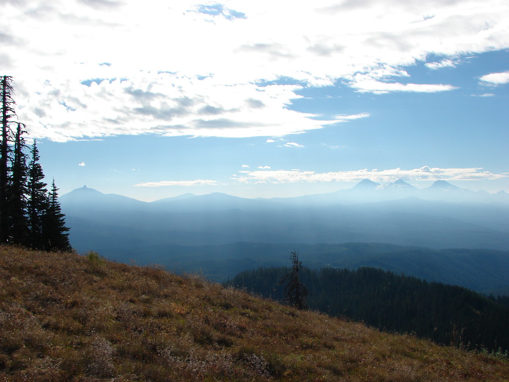
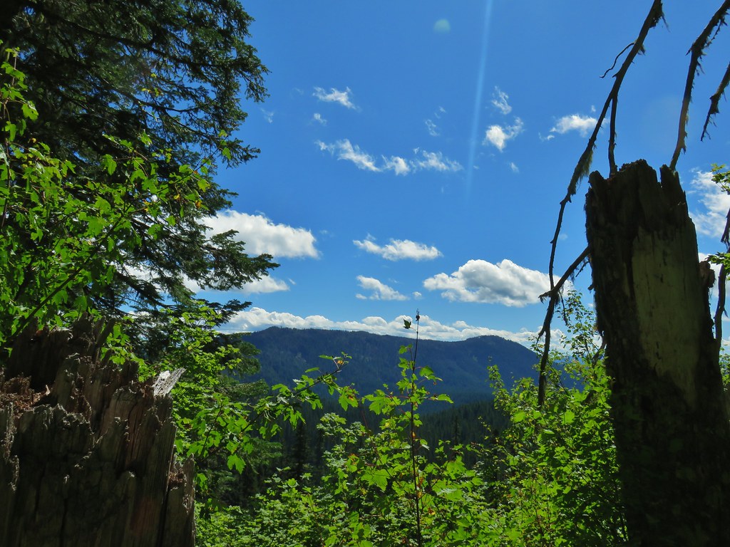
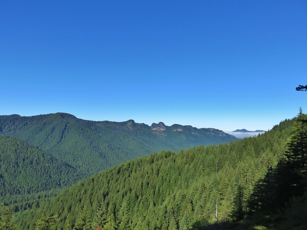
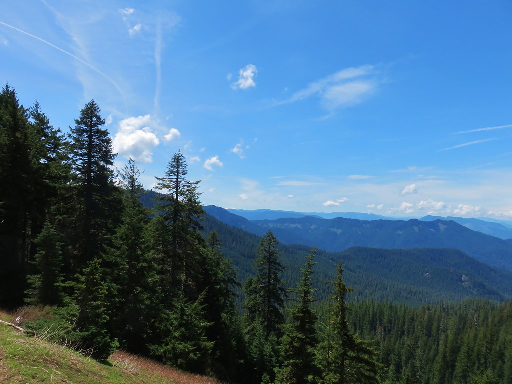
There were also some views that might not have been there if some of the trees hadn’t burned.

 South Sister
 Middle and North Sister
 Mt. Washington
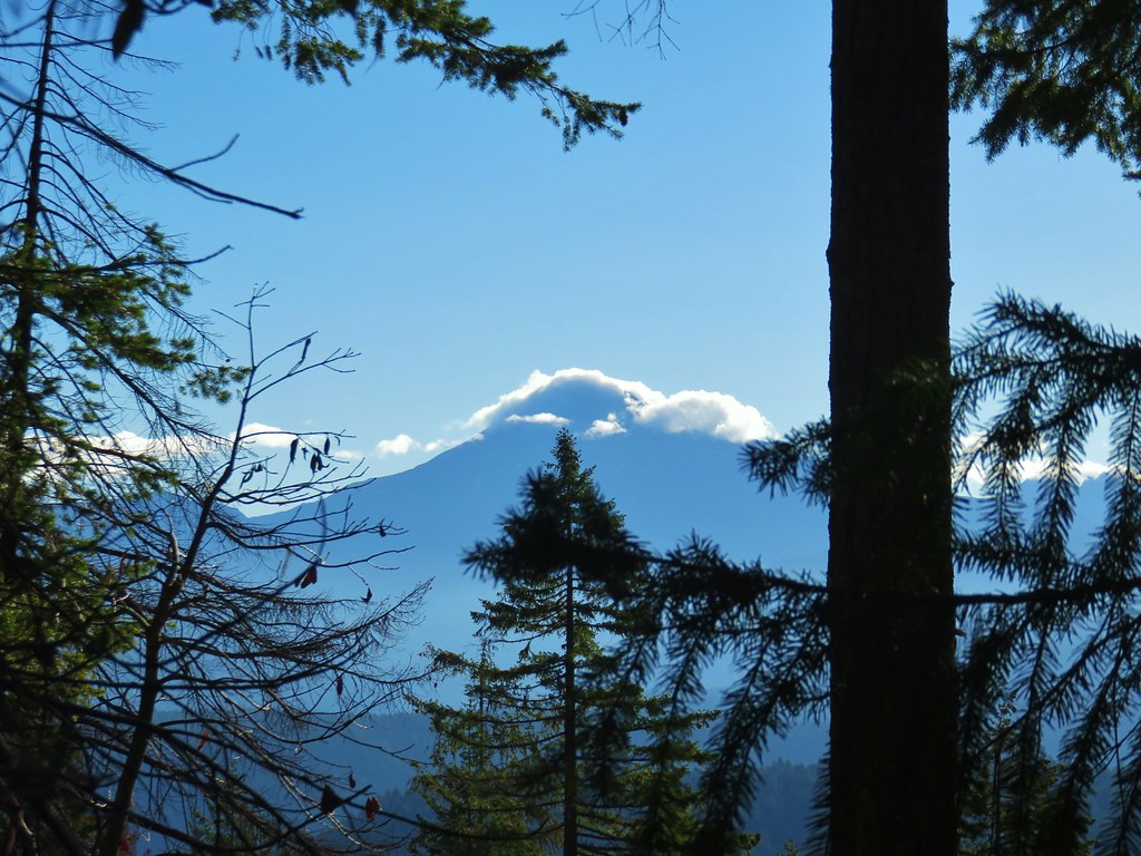
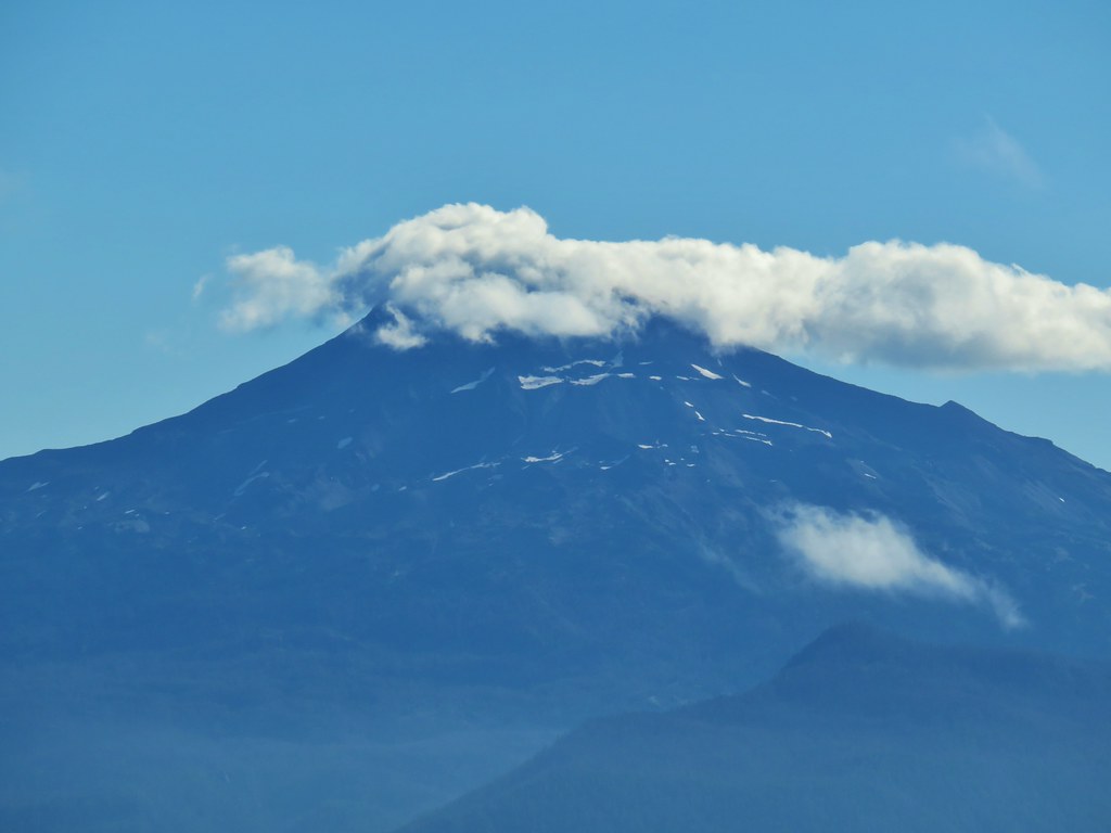
 Mt. Jefferson and Three Fingered Jack
The line of clouds obstructing the view of the mountains wasn’t exactly a welcome sight, but we could at least see some of them and it was early so maybe they would eventually burn off.
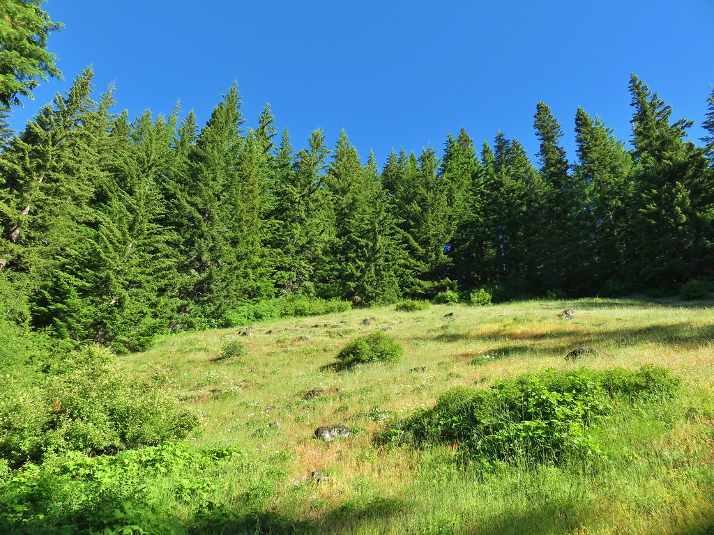
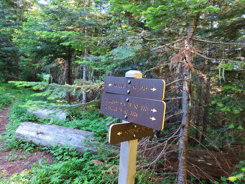
A little over 2 miles from the trailhead we arrived at a junction in a grassy saddle.

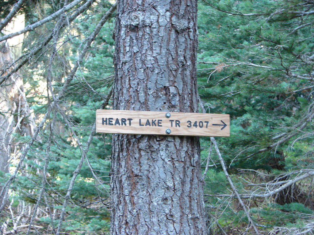
The Olallie Trail continued straight passing an old guard station site at Olallie Meadows in .9 miles then continuing deeper (and fainter) into the Three Sisters Wilderness eventually ending at Horse Lake (post). We turned right though, onto the Olallie Mountain Trail.

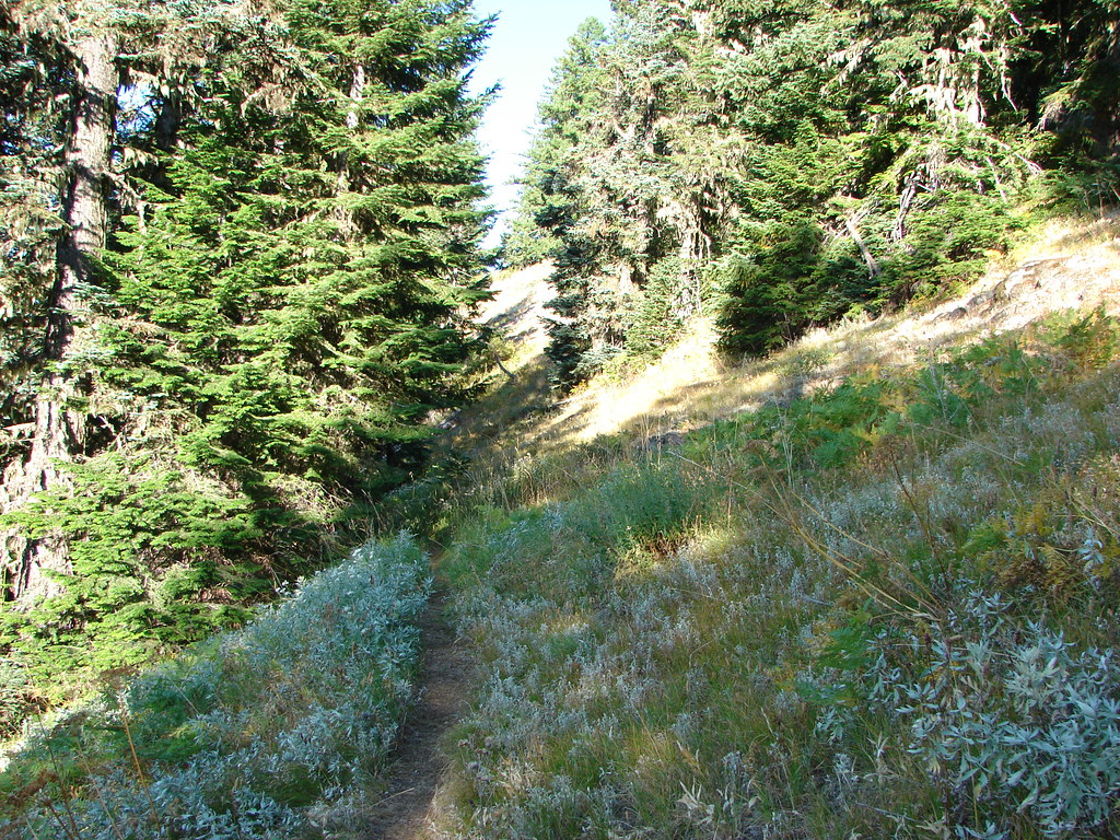
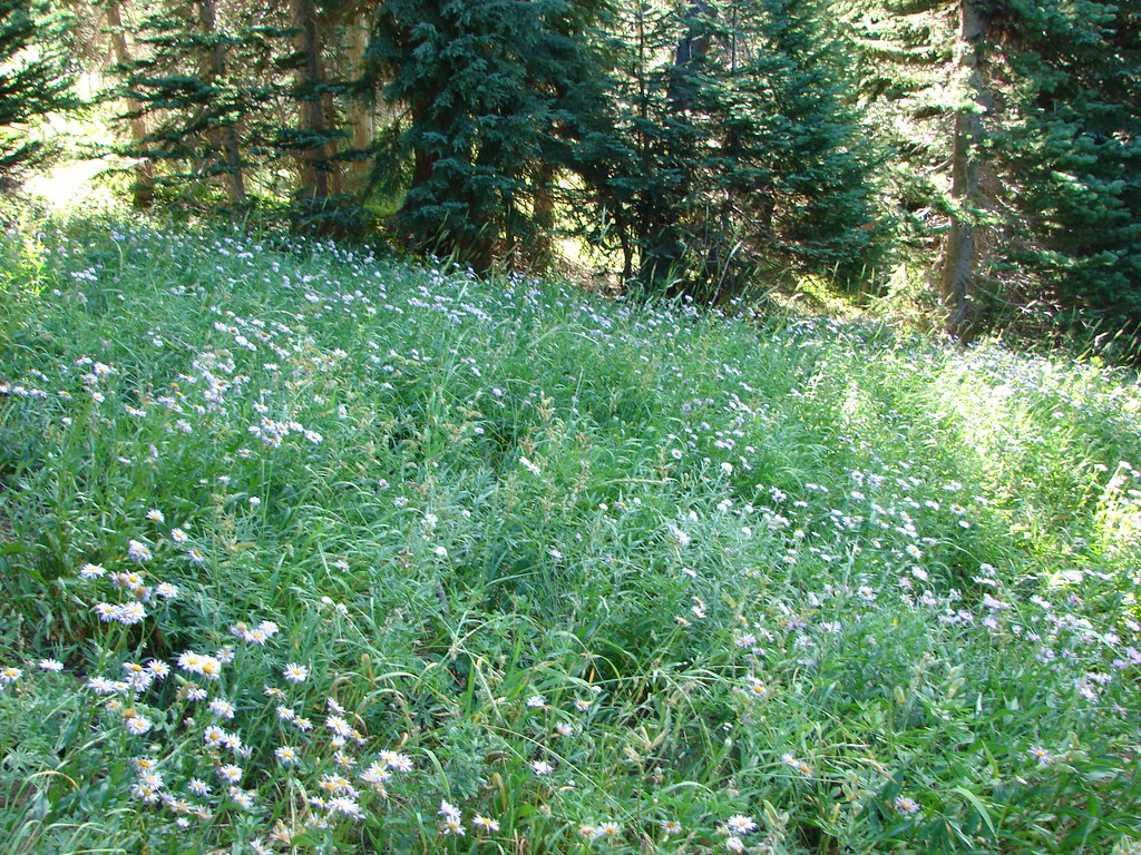
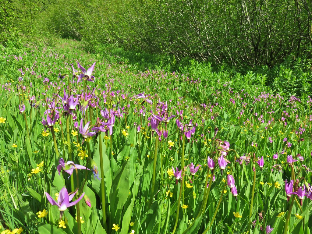
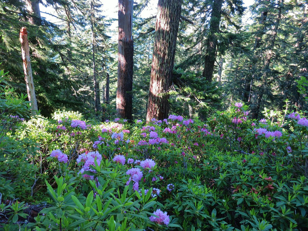
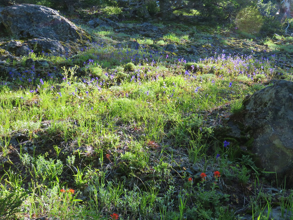
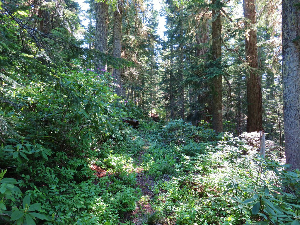
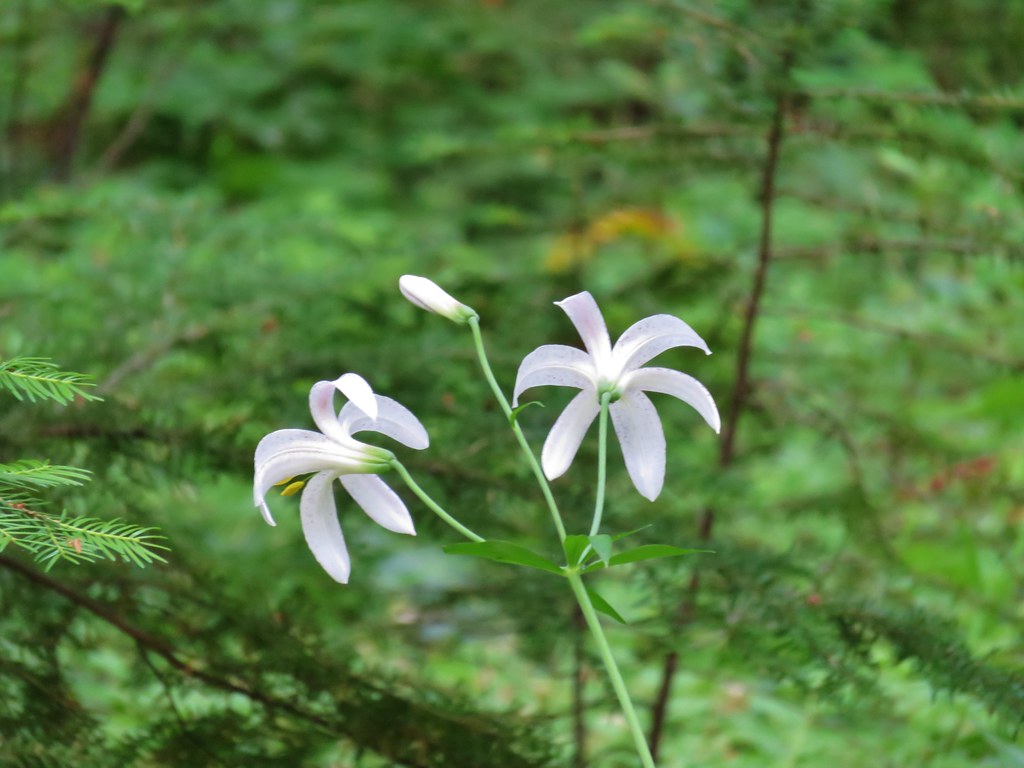
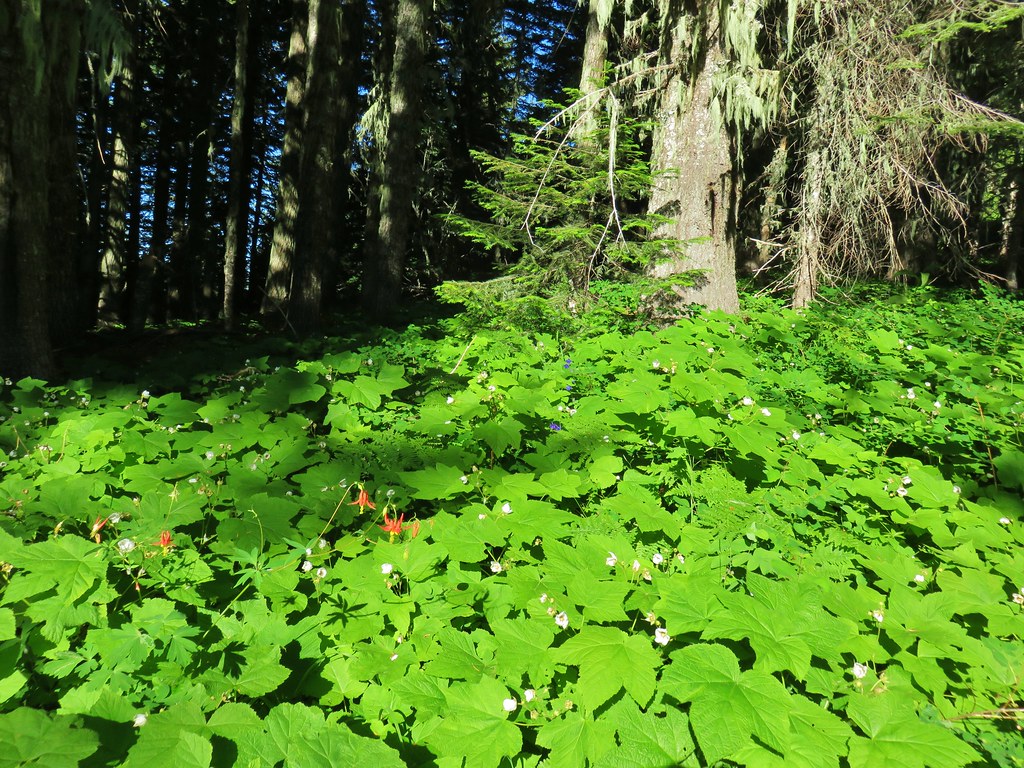
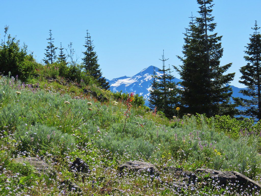
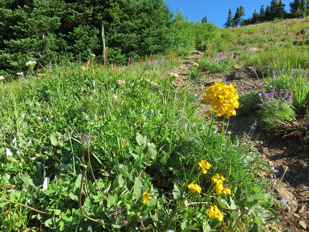
This trail began with a reasonably gradual climb past a series of meadows where a few late blooming flowers remained.

 Aster and pearly everlasting
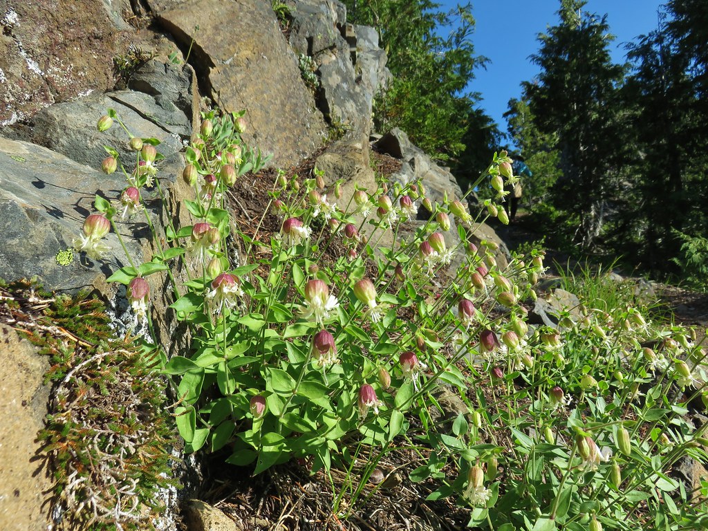
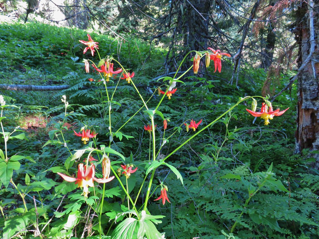
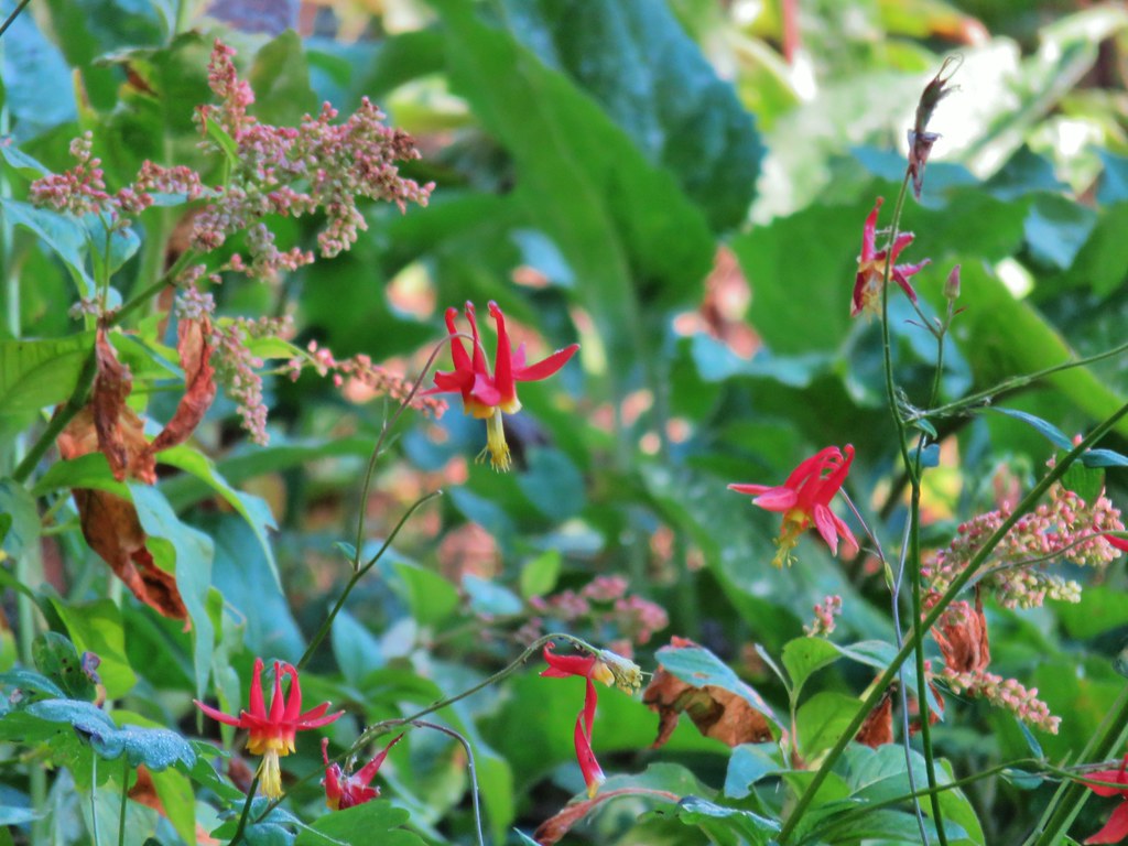 Columbine

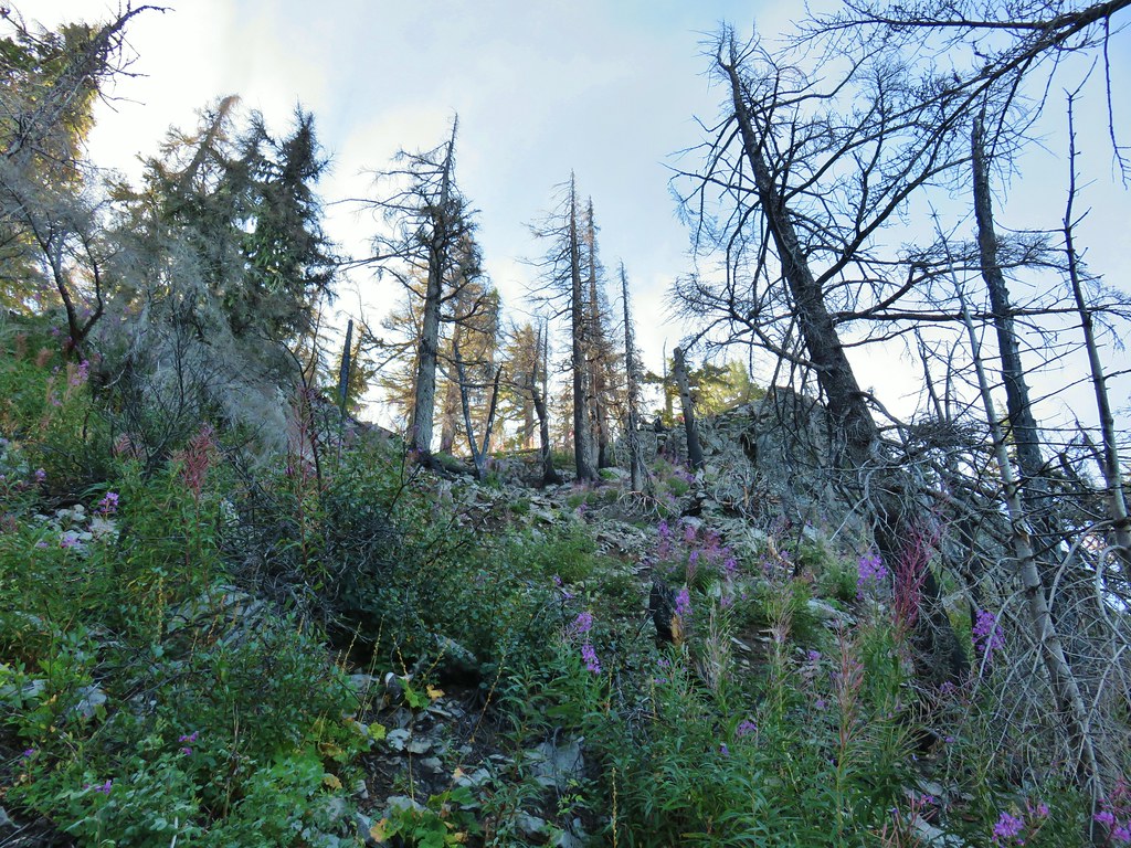
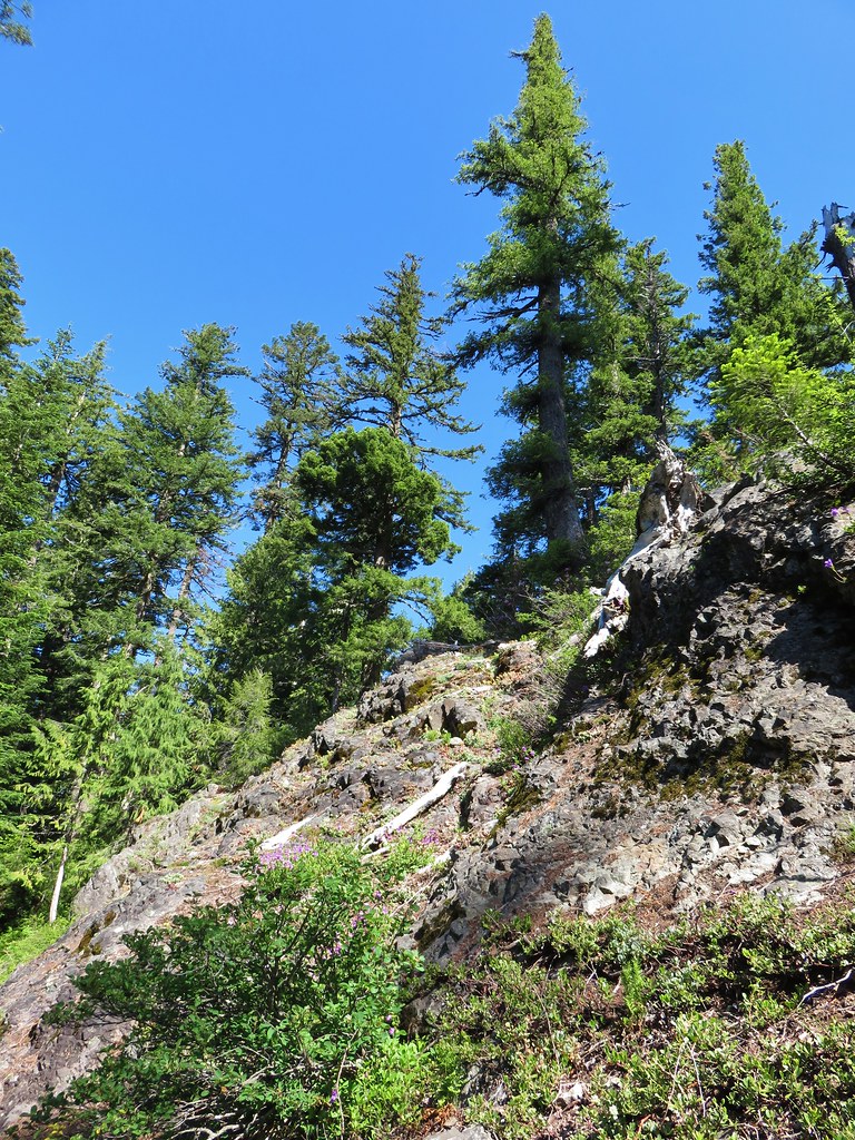
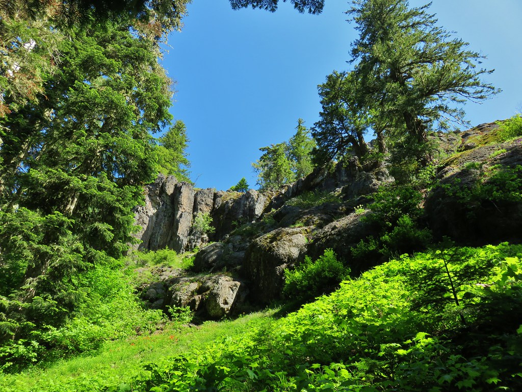
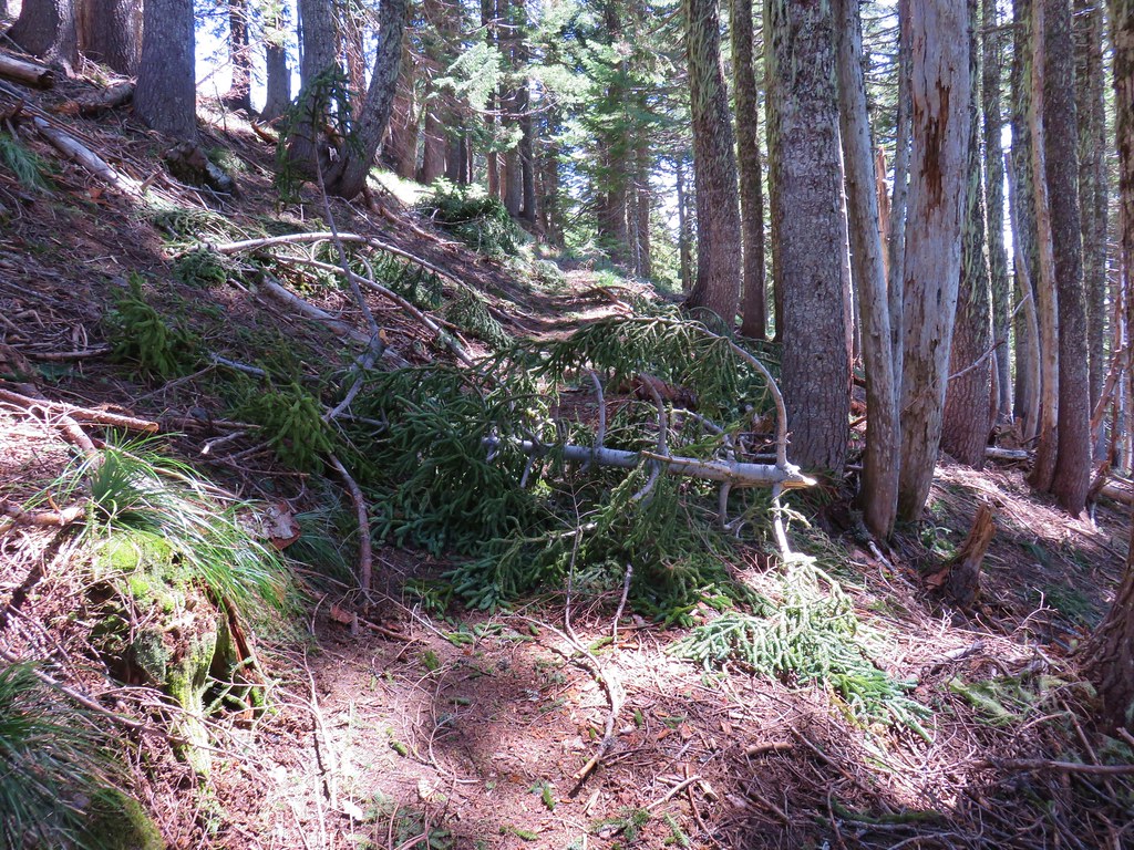
The trail briefly leveled out on top of ridge where the fire had burned intensely in some areas while sparing trees in others.

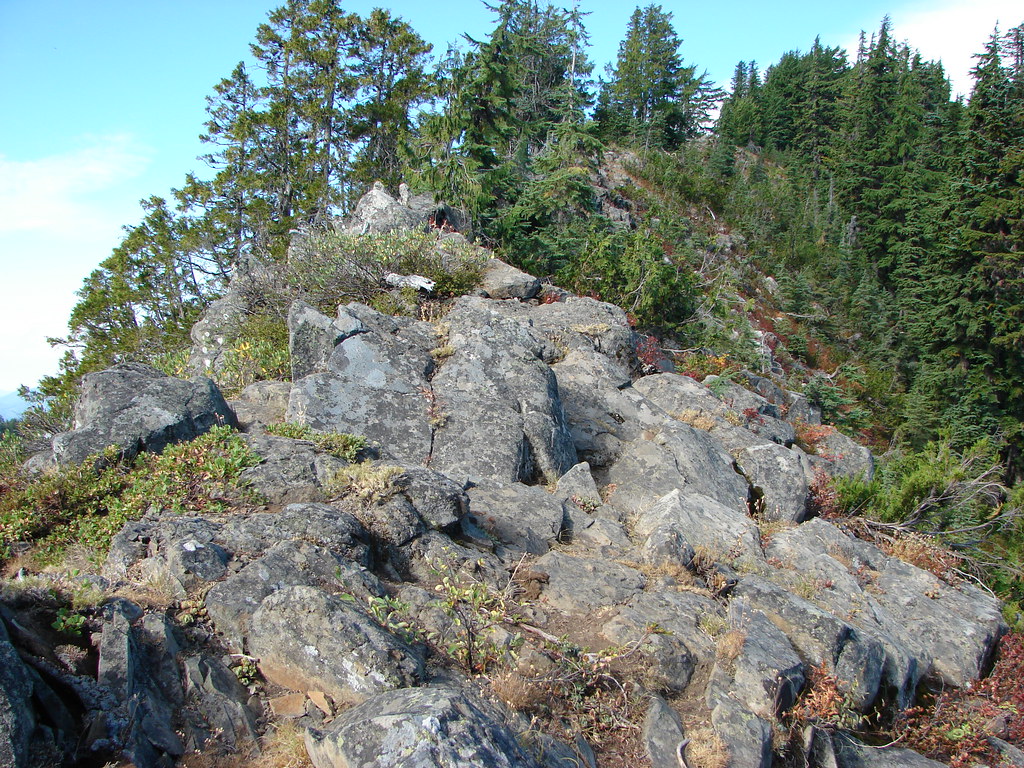
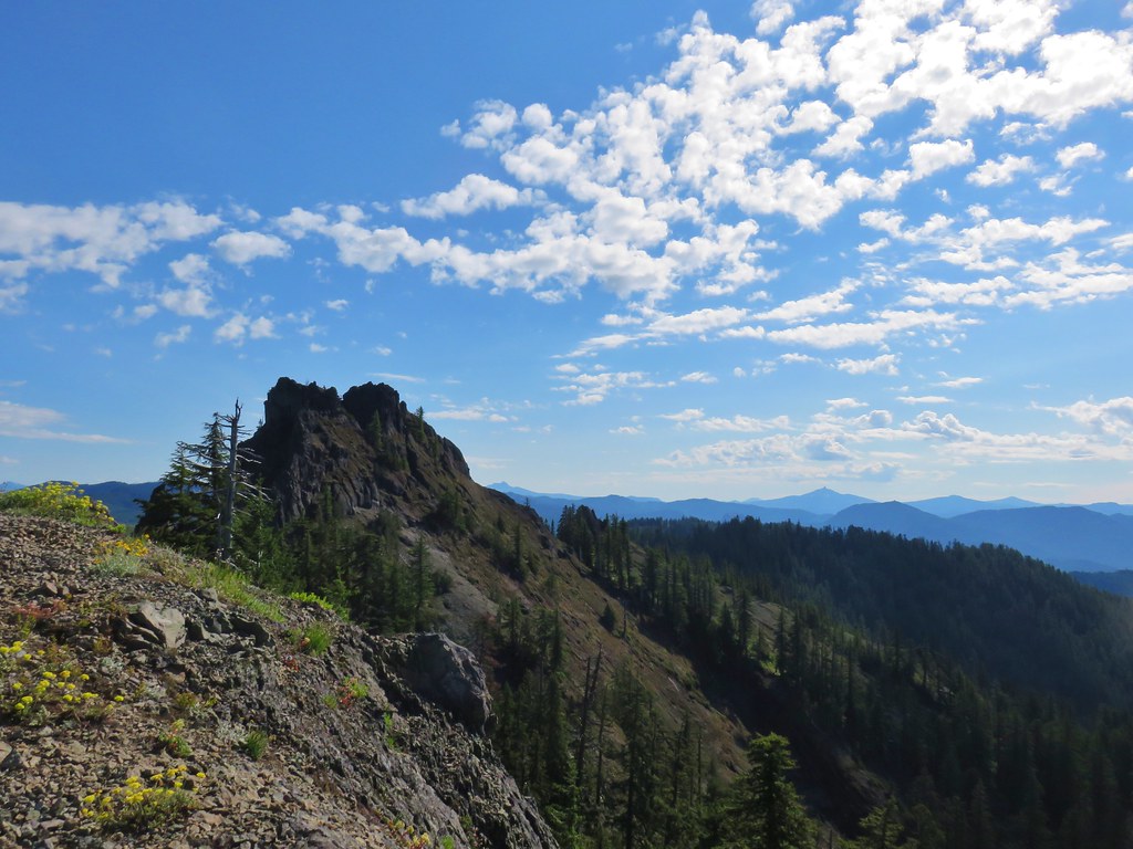
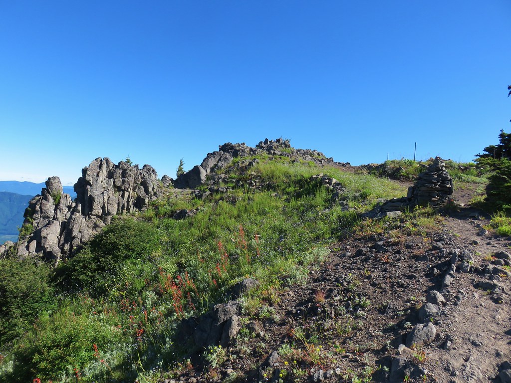
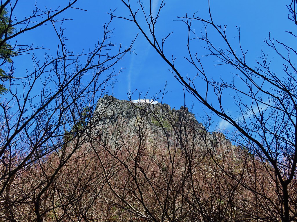
After the brief respite from climbing the trail steepened below the summit of Olallie Mountain and began to wrap up and around its rocky western face.


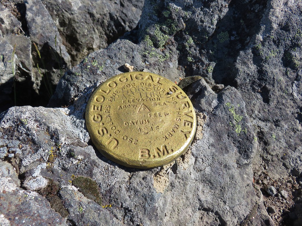
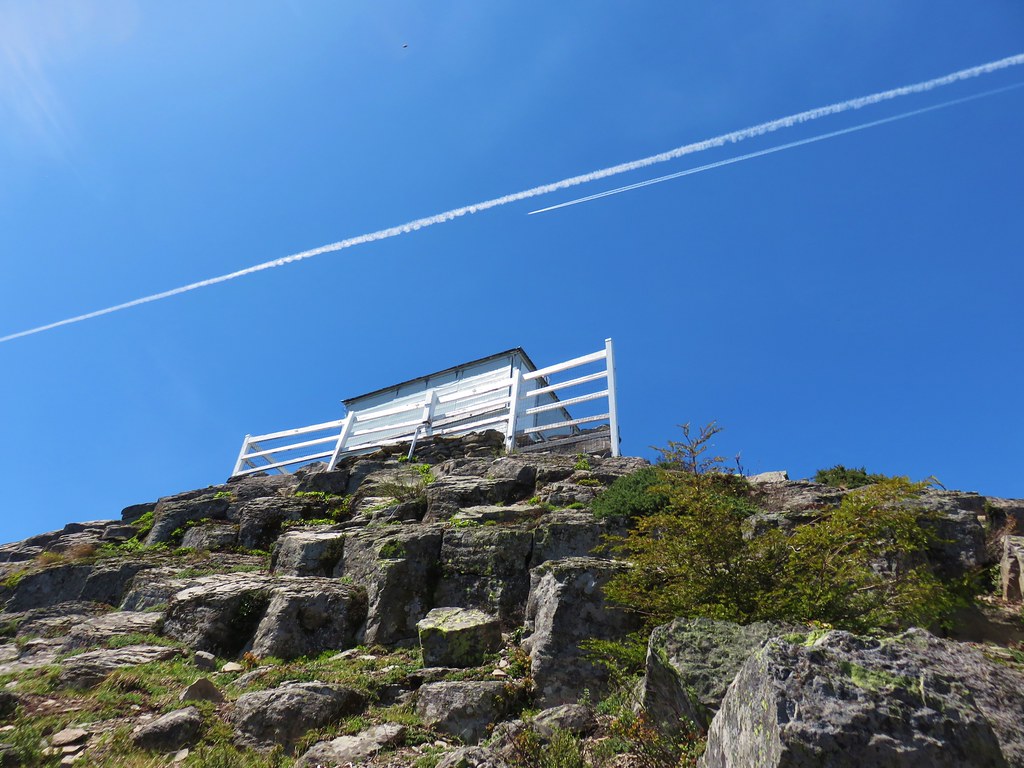
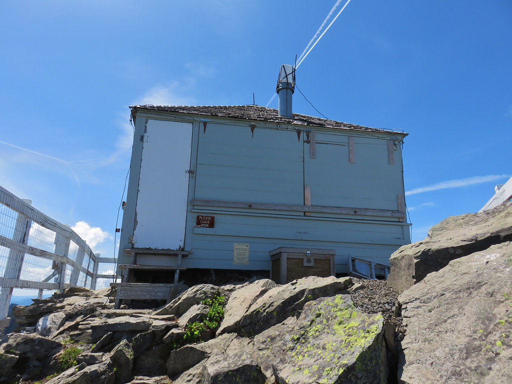
The tread along the steep hillside here was a little sketchy in part due to the fire but we made our way up to the summit. The remains of the Olallie Mountain lookout tower still stand on the summit having been covered by firefighters to protect it from the blaze.


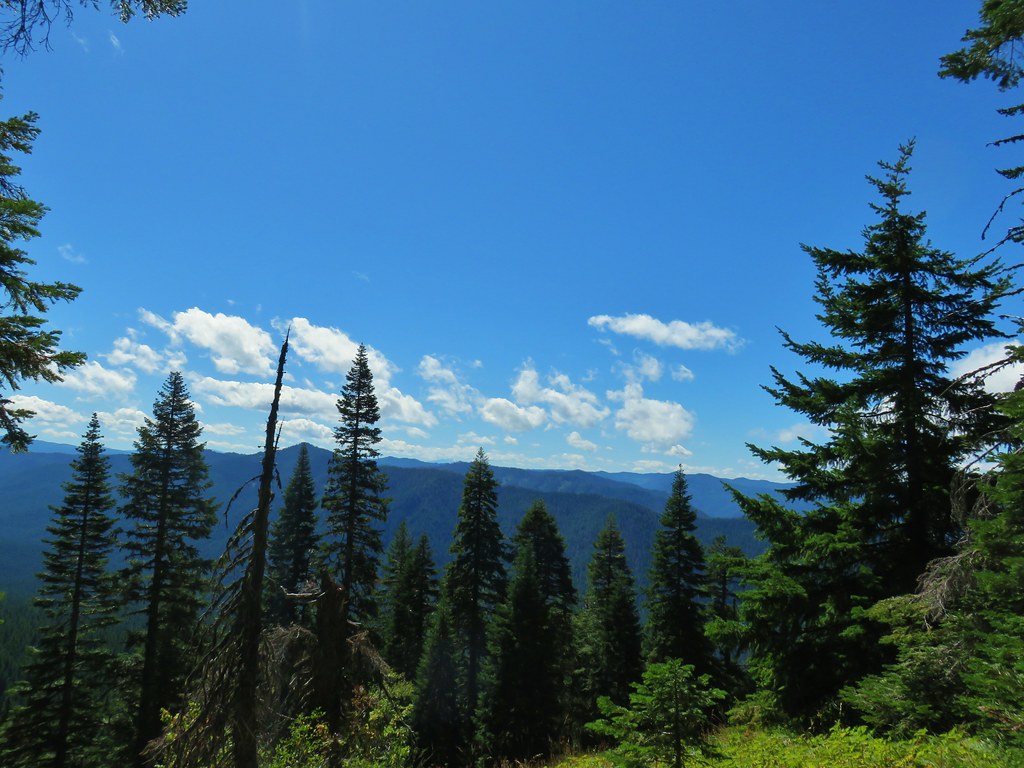
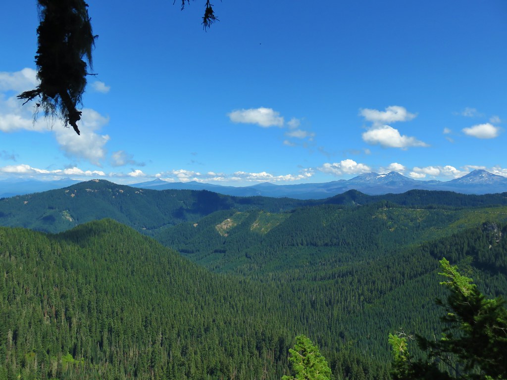
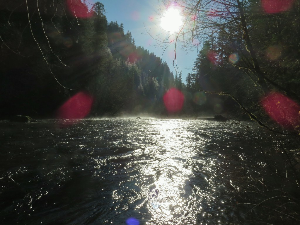
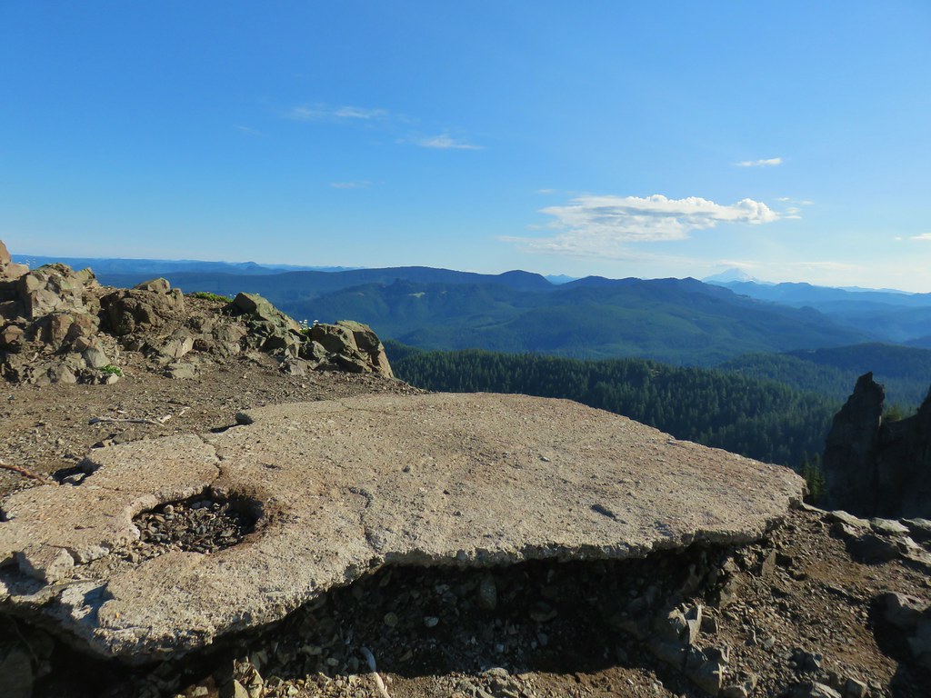
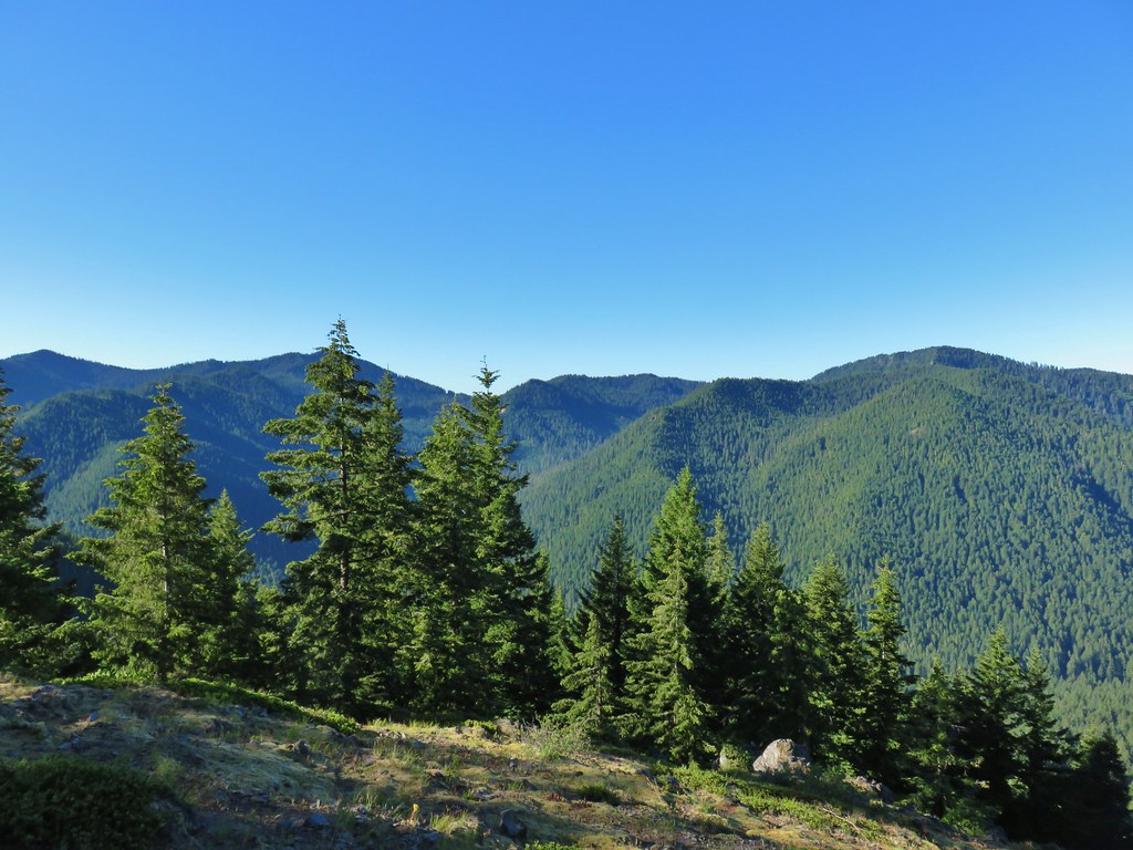
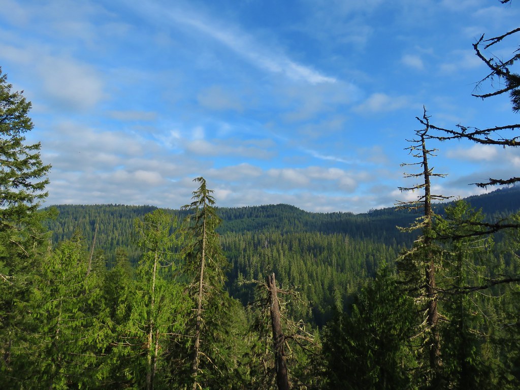
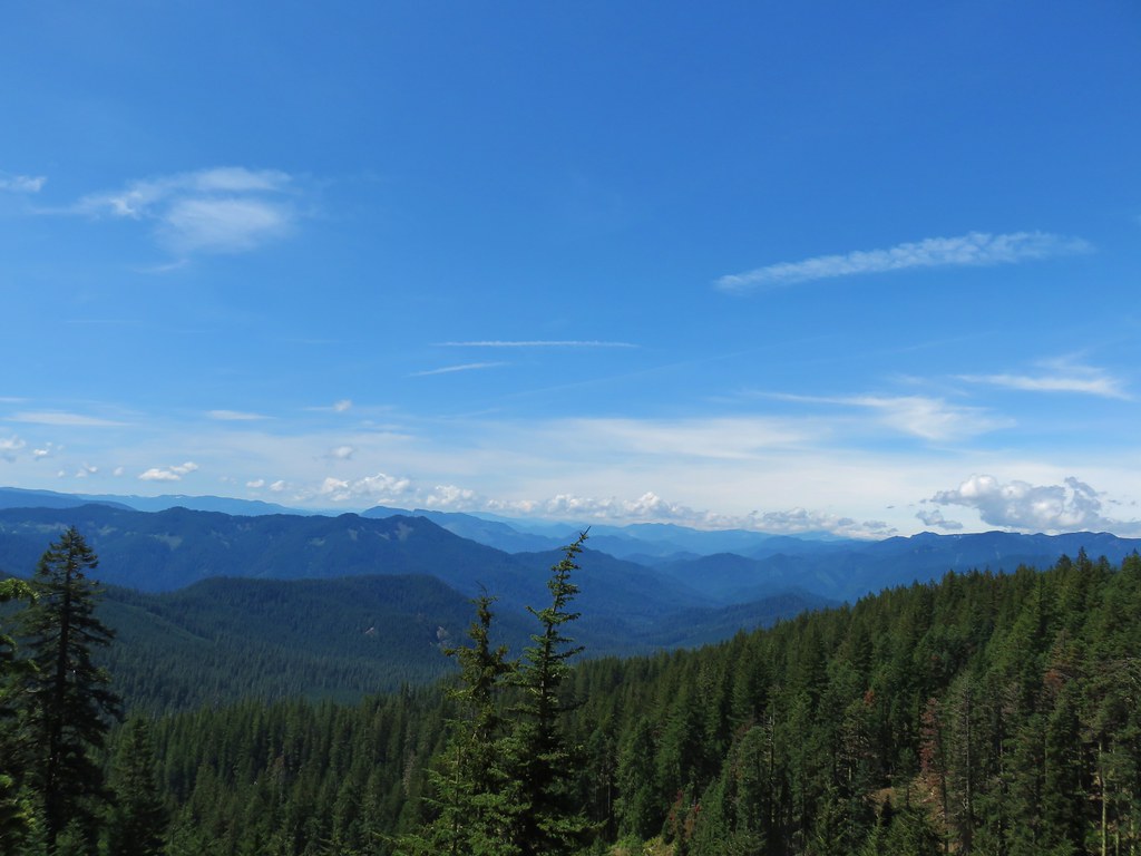
The three hundred and sixty degree view was impressive and would have been more so if not for the presence of clouds to the north and in front of many of the cascade peaks. On top of that our early ascent left the Sun in a less than ideal overhead position for lighting.
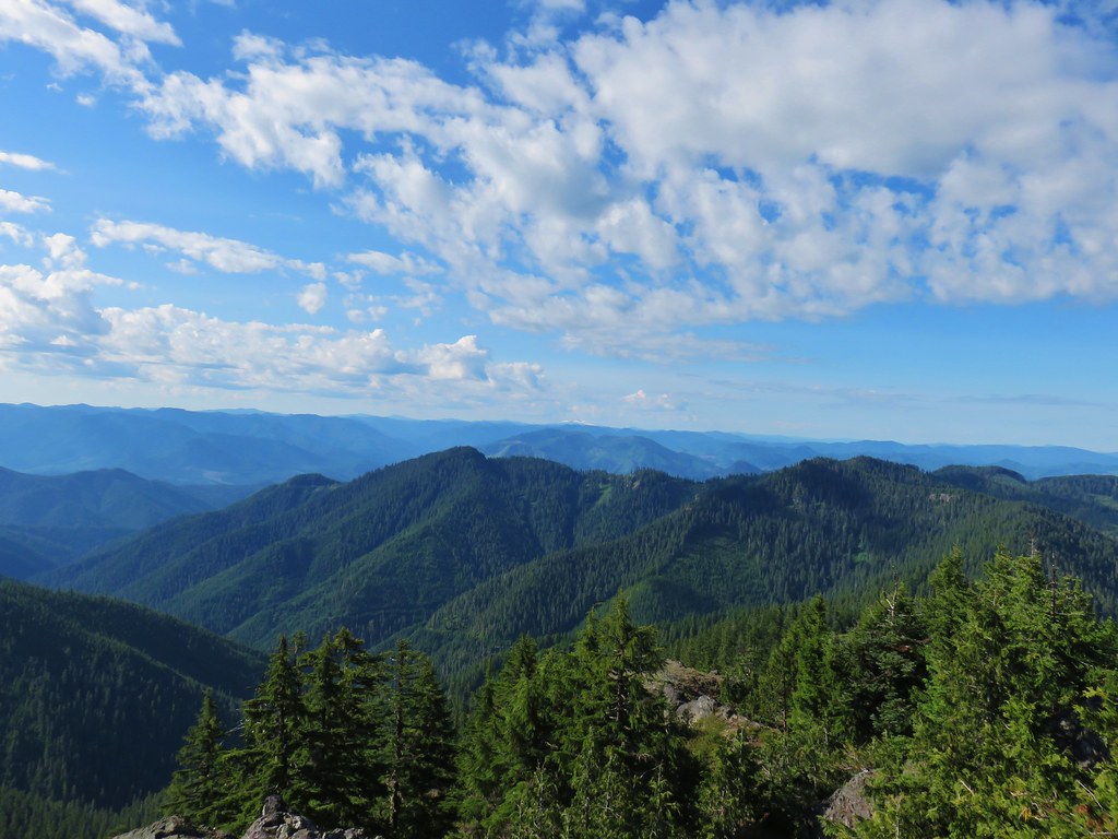
 Parts of the Cascades from Mt. Jefferson to the NE to Mt. Bachelor to the SE.
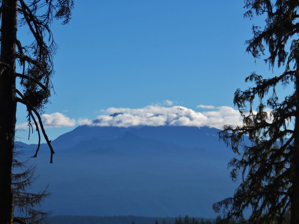
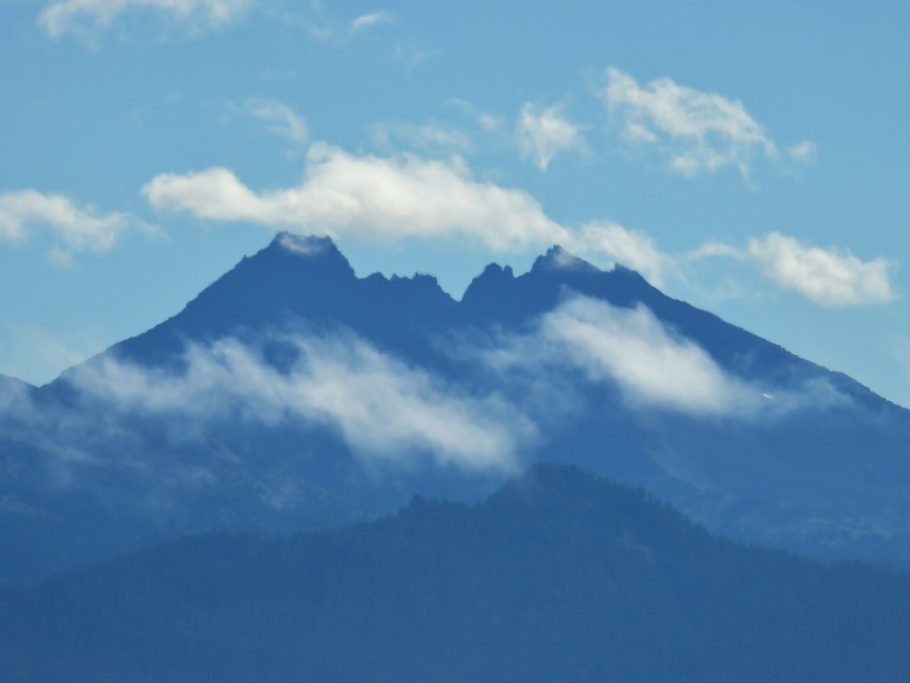
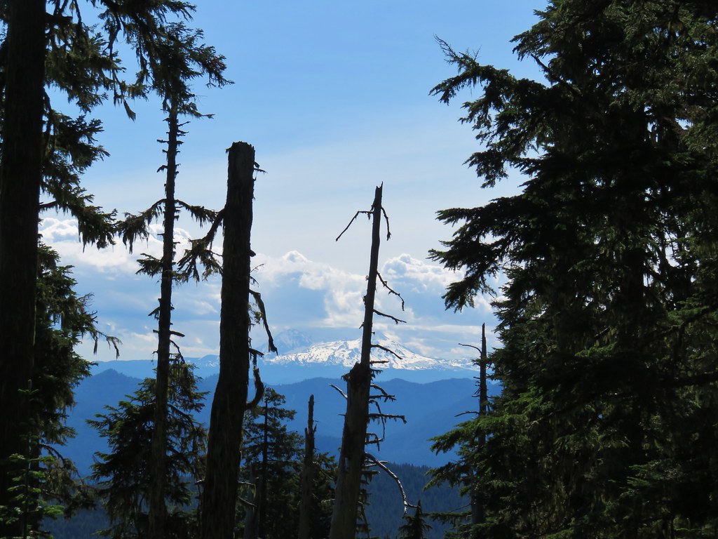
 Mt. Jefferson was still tangled up in the clouds.
 Just a peak at Mt. Washington (which was more than we could see of Three Fingered Jack)
 Middle and North Sister behind The Husband
 South Sister
 Broken Top
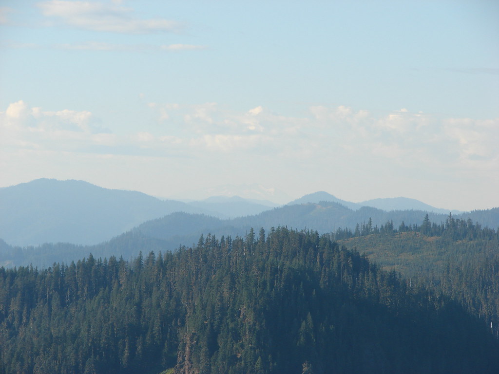
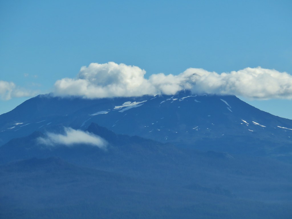
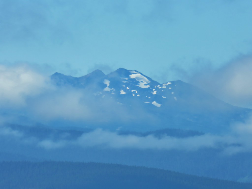
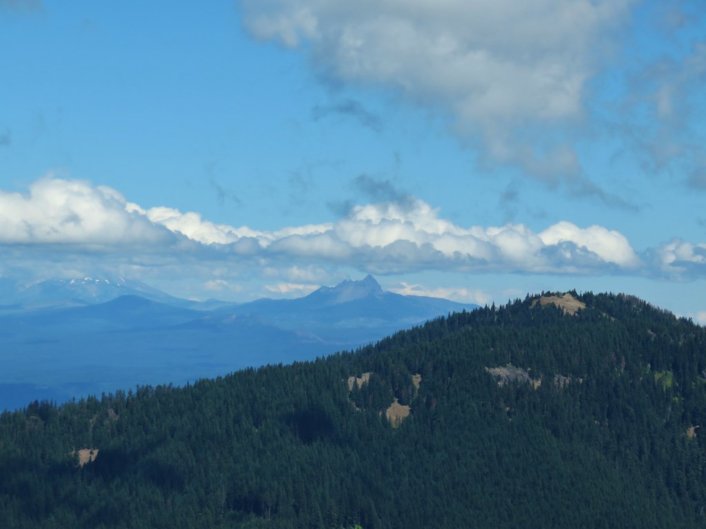
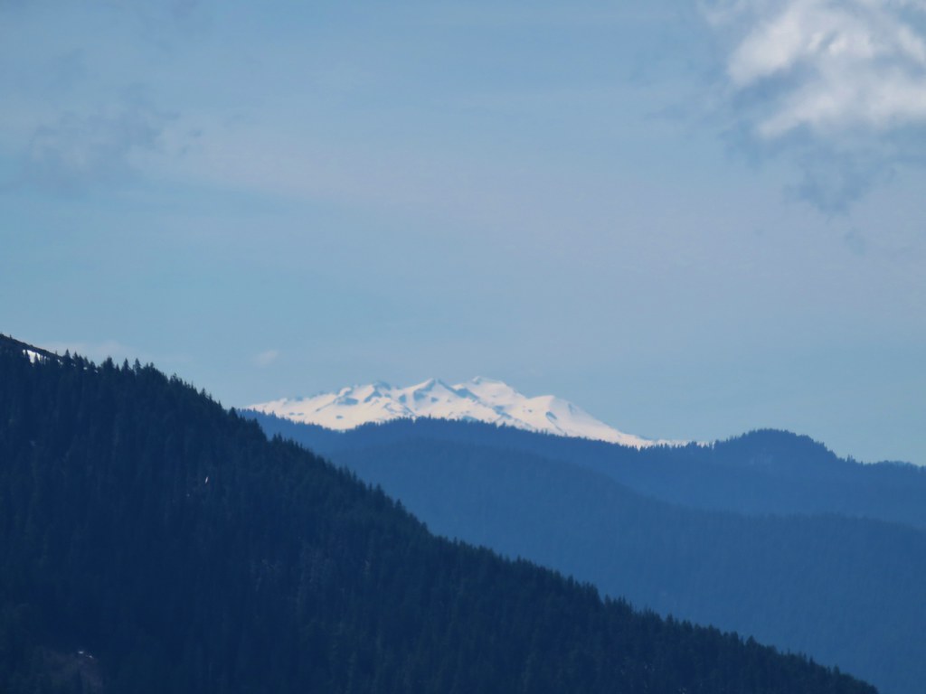
Things were a little less cloudy to the south where Cowhorn Mountain (post) and Mt. Thielsen (post) seemed to be cloud free while Diamond Peak wasn’t so lucky.

 Cowhorn Mountain and Mt. Thielsen
 Diamond Peak
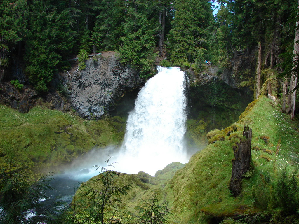
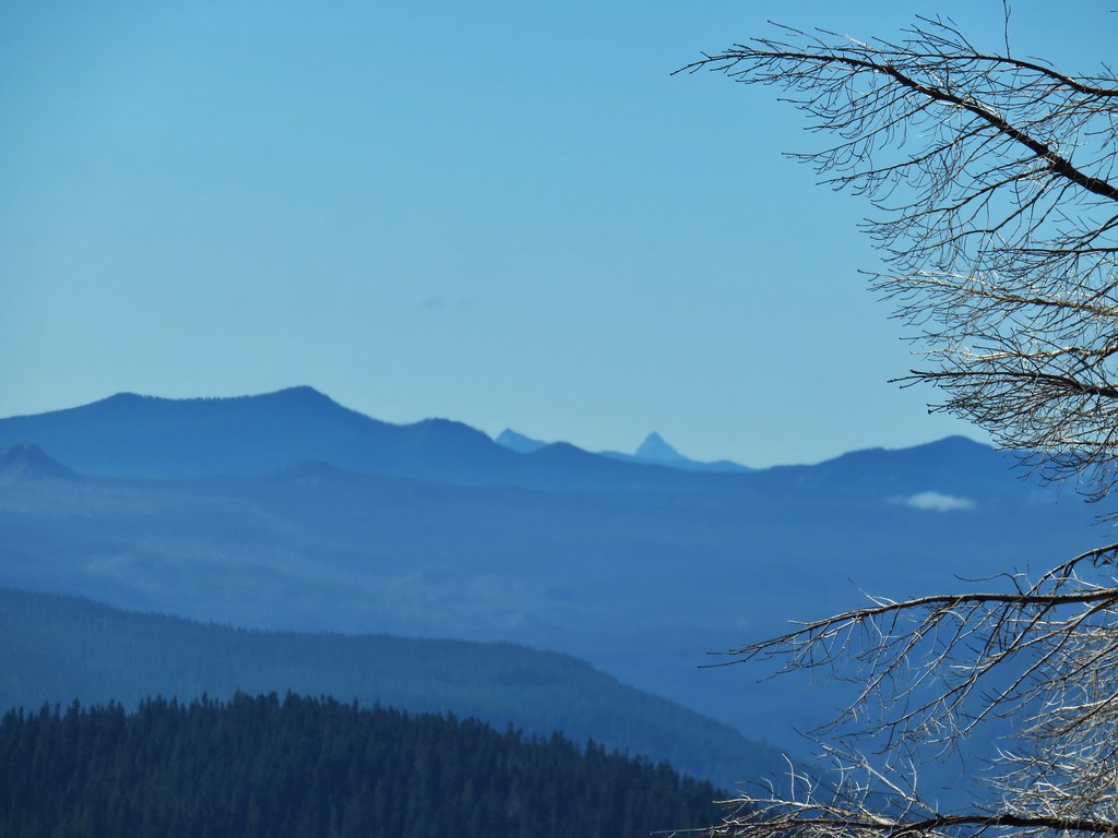
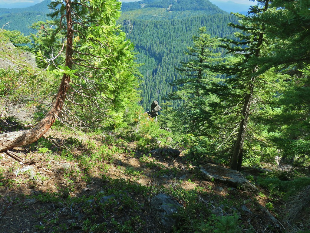
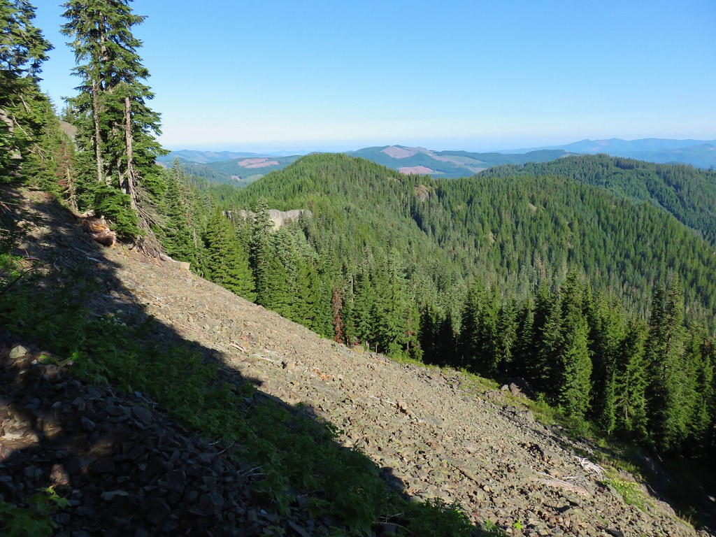
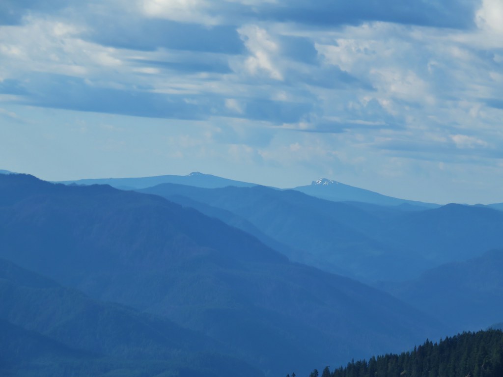
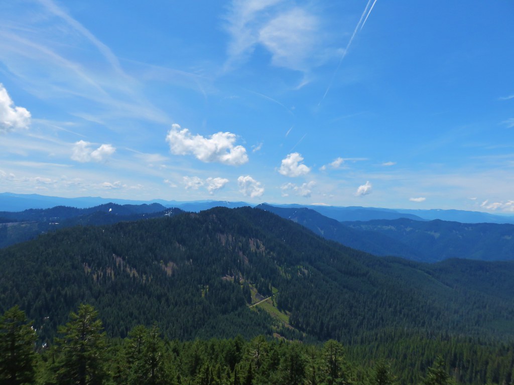
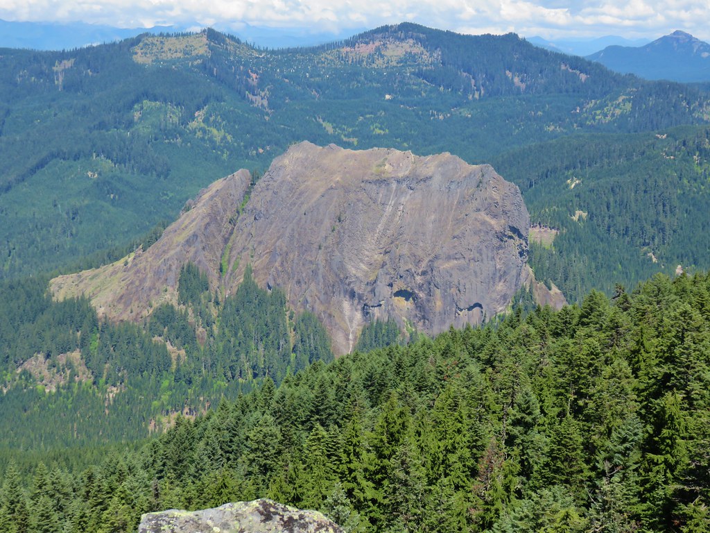
We were able to identify the cliffs of flat topped Lowder Mountain, our next stop, to the NW.
 Lowder Mountain to the left of the tree in the foreground.
 Lowder Mountain
After watching the clouds pass by (but not leave) for awhile we headed back down. We had passed a single backpacker on the way up and on the way down we encountered a trio of hikers making their way up. When we got back to the stream below Wolverine Lake we spotted a frog (no wolverines though).

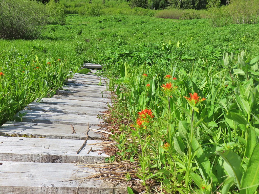
We completed our 8 mile hike here and drove back the two miles to the Lowder Mountain Upper Trailhead and parked at a pullout near the trailhead signboard. The signboard announced three trails: the Quaking Aspen, Lowder Mountain, and Walker Creek Trails.

We weren’t paying close attention as we set off on a trail heading for a wilderness to the left of the signboard.

Our first clue that we were on the wrong trail should have been the location of the trail signs on the signboard but away we went following the Quaking Aspen Trail downhill parallel to FR 1993. We had a feeling something might be off but a quick glance at the GPS showed that we were almost to some switchbacks which matched up with Sullivan’s map but we were surprised that they were headed downhill and not up (the one complaint we have about Sullivan’s maps are that they are not topographic so we can’t always tell when a trail is climbing or dropping). We were zoomed in too far to see the other trail behind us that switchbacked uphill. Just after turning on the first of the switchbacks Heather figured it out and got us turned in the right direction but not until we’d covered a third of a mile.
We hiked back uphill to the trailhead and looked at the signboard and area more closely. Sure enough there was another trail and wilderness to the right of the signboard (the side listing the Lowder Mountain and Walker Creek Trails).


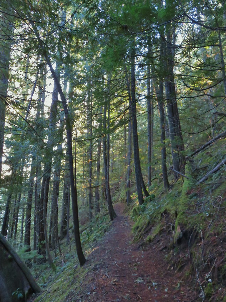
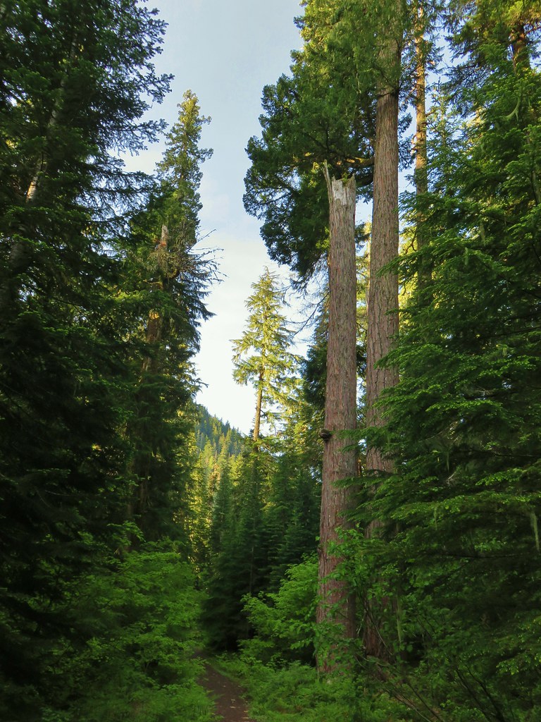
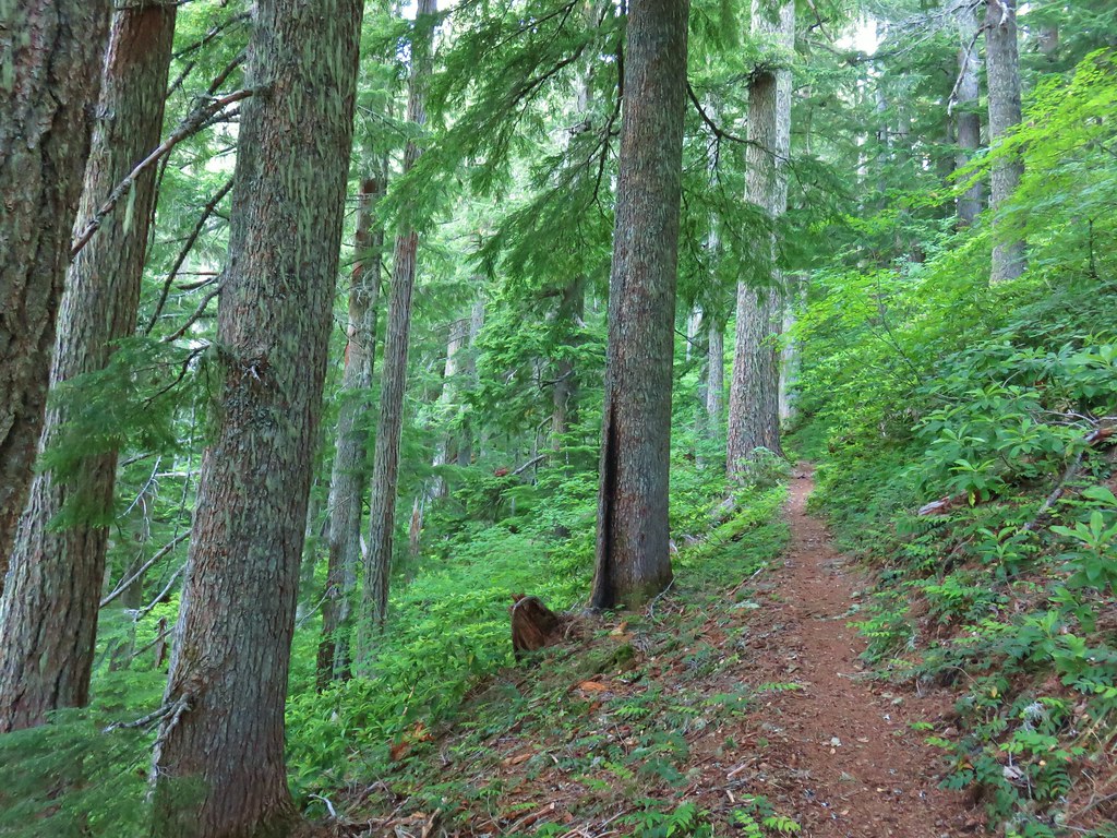
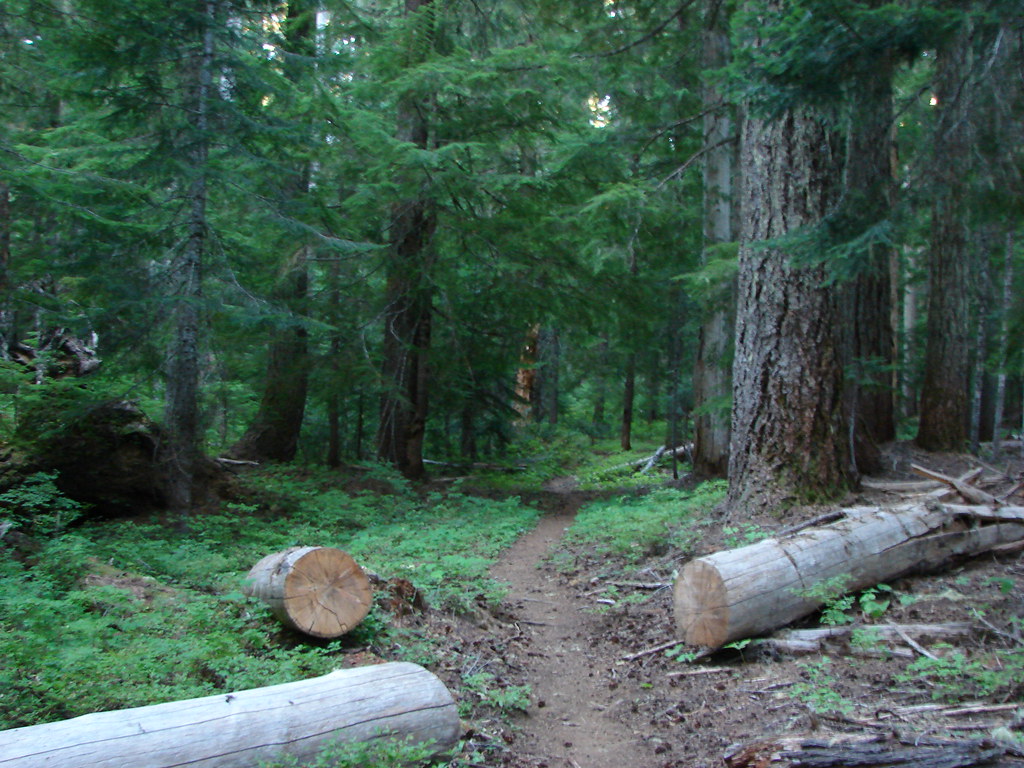
We now set off on the Lowder Trail and began switchbacking uphill through an old growth forest.


After a quarter mile of serious climbing the trail leveled out a bit (and straightened out) as it traversed along a hillside. We soon got a quick glimpse of Olallie Mountain across the valley.
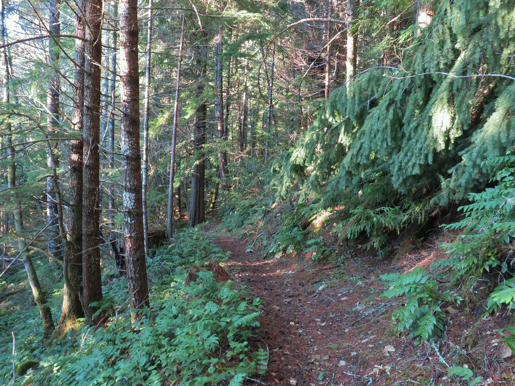
For the next 1 3/4 miles the trail alternated between meadows and forest before arriving at a junction in one of the meadows.

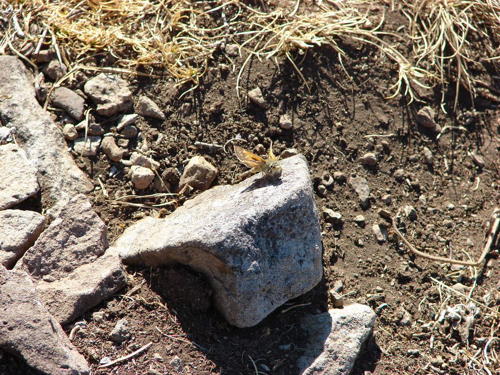
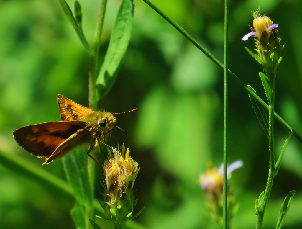 Skipper
 This reminded us of a torture device.

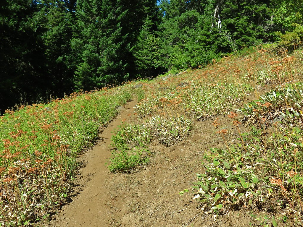 This meadow had a lot of buckwheat.

 Olallie Mountain again.
 The lookout tower on Olallie Mountain
 Diamond Peak had shed its cloud cover momentarily.
 Diamond Peak

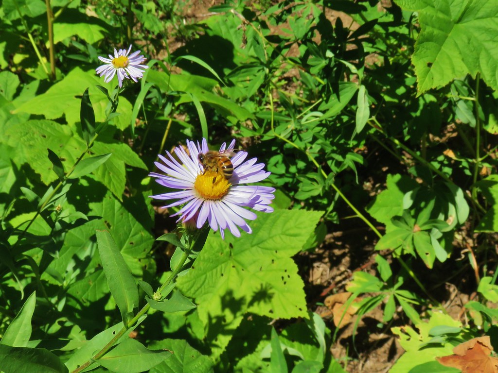 Pollinators got to pollinate.


This junction marked the start of the Walker Creek Trail which climbed up through the meadow to the right. This was actually the trail to take in order to reach the viewpoint atop Lowder Mountain.

The Lowder Mountain Trail continued on straight but beyond the junction is no longer maintained due to “lack of use”.

A series of 12 switchbacks led steeply up through the meadow and forest to a large meadow atop Lowder Mountain.
 The trail heading up through some thimbleberry.
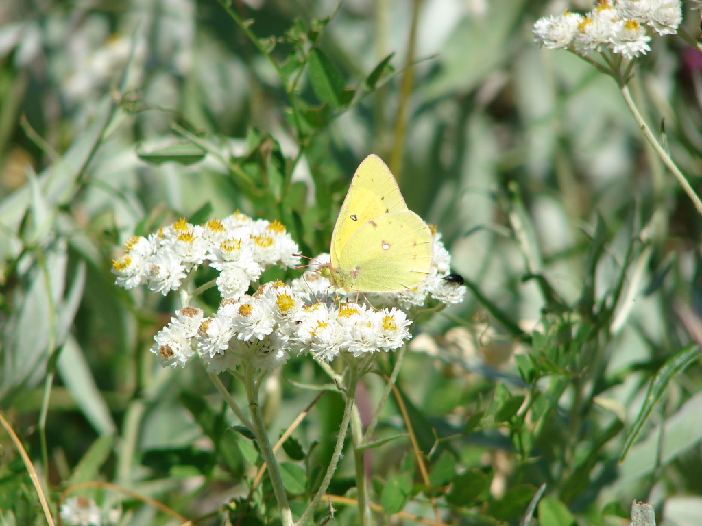
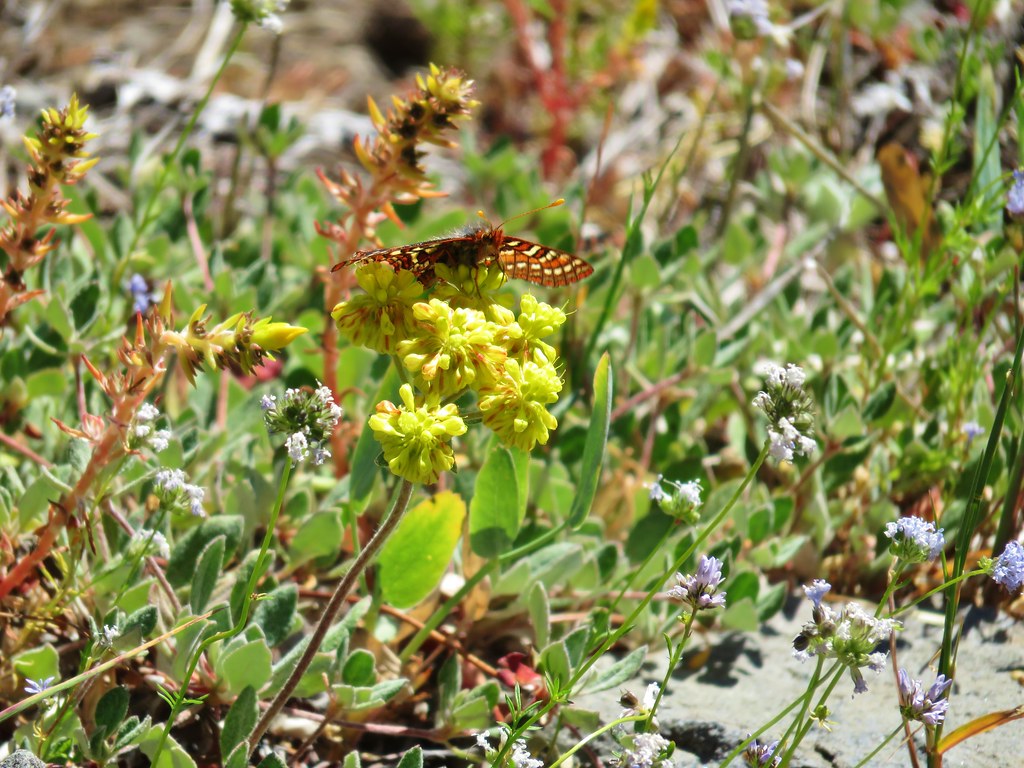
 Butterfly
 Another skipper
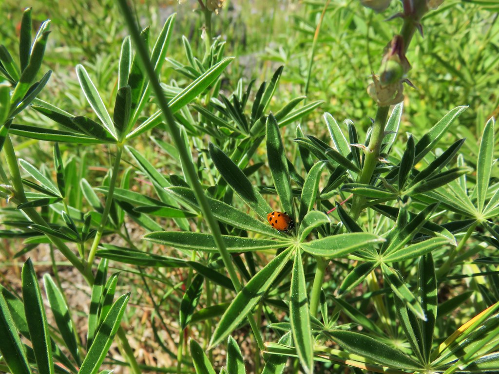
 This guy was the size of my pinky.
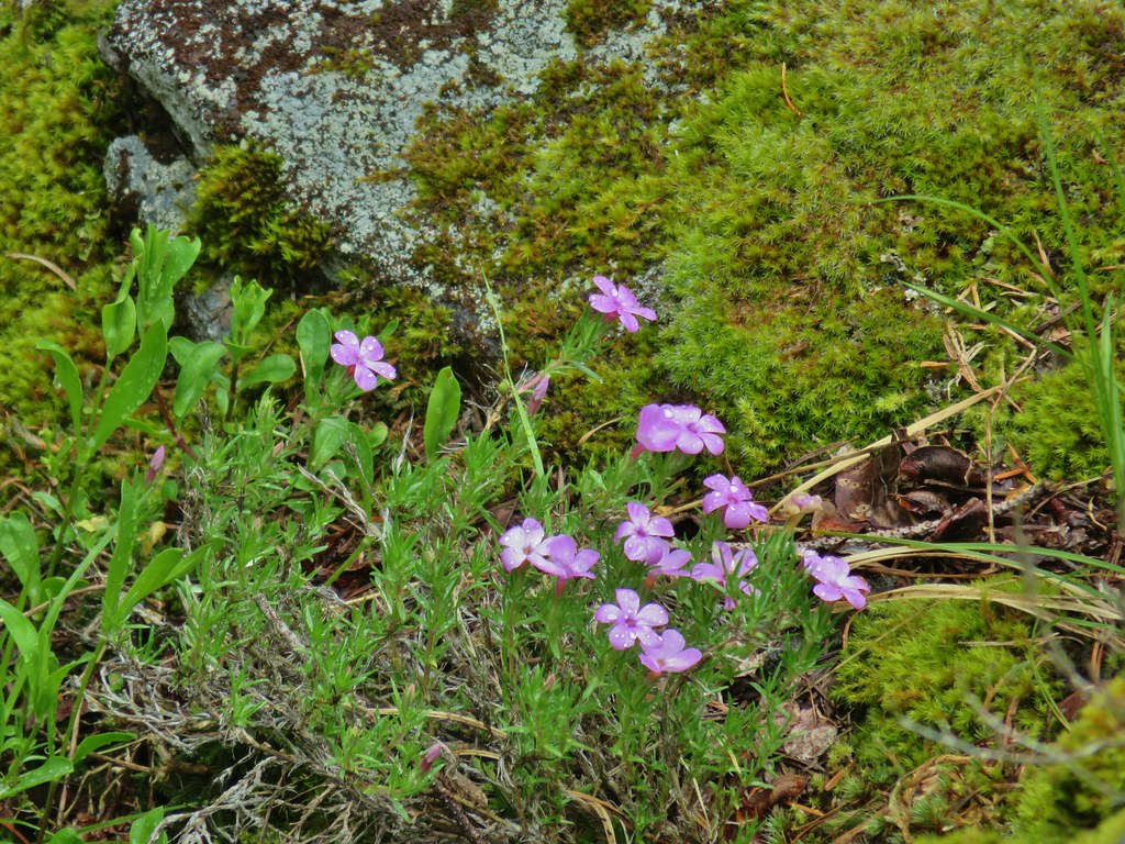
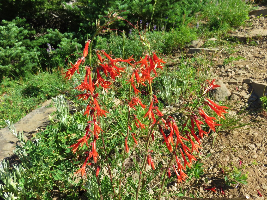
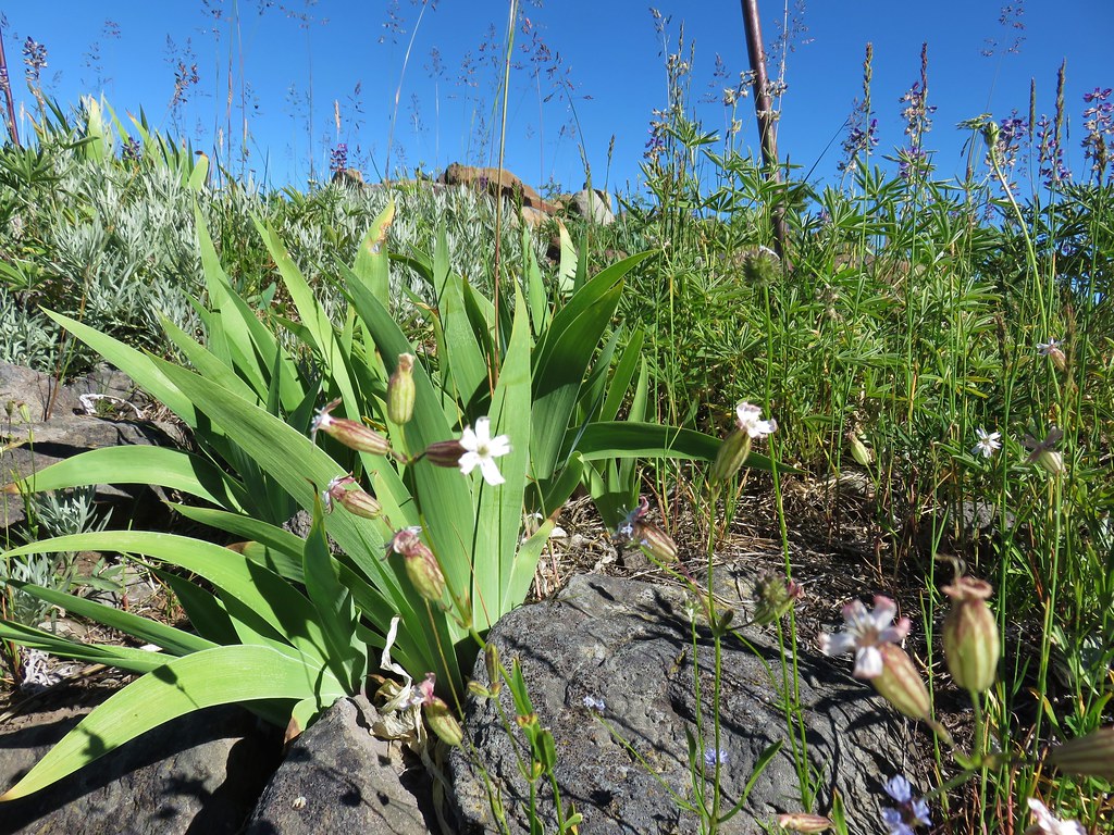
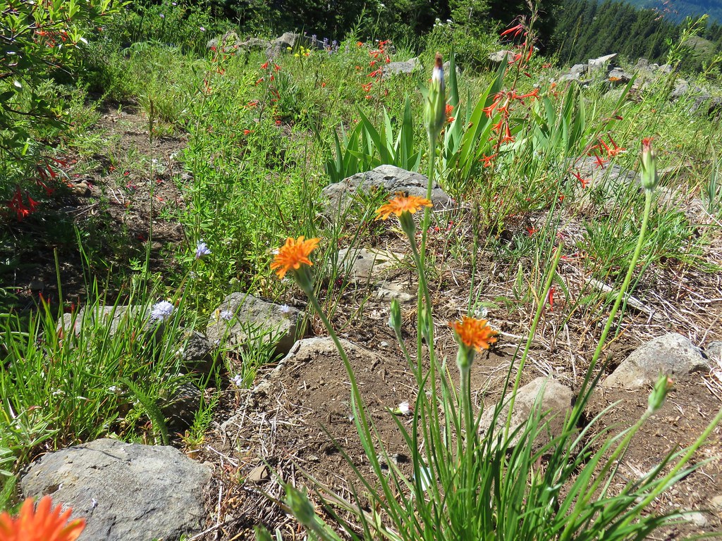
 A few scarlet gilia still in bloom.
 Pearly everlasting at the edge of the large meadow.
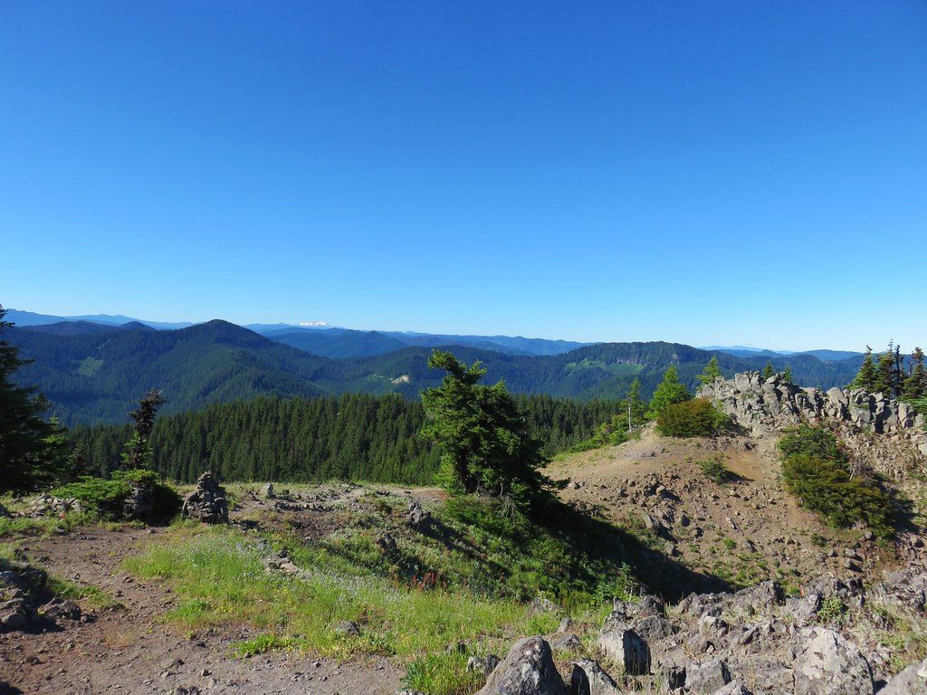
We followed a well worn path across the broad summit to the edge of the large meadow where it turned right passing along the tree line.

Like the Lowder Mountain Trail the Walker Creek Trail is no longer maintained beyond the meadow. The clear path along the impressively large meadow is a user trail to the viewpoint above Karl and Ruth Lakes.


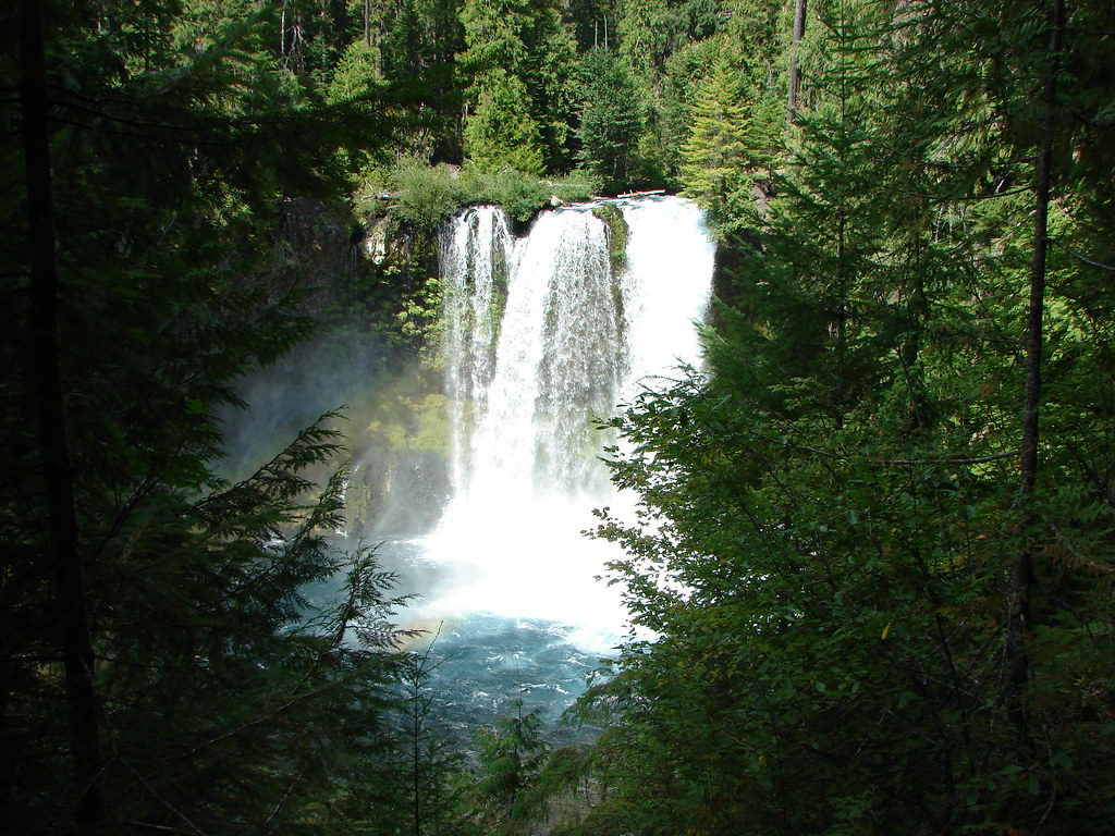
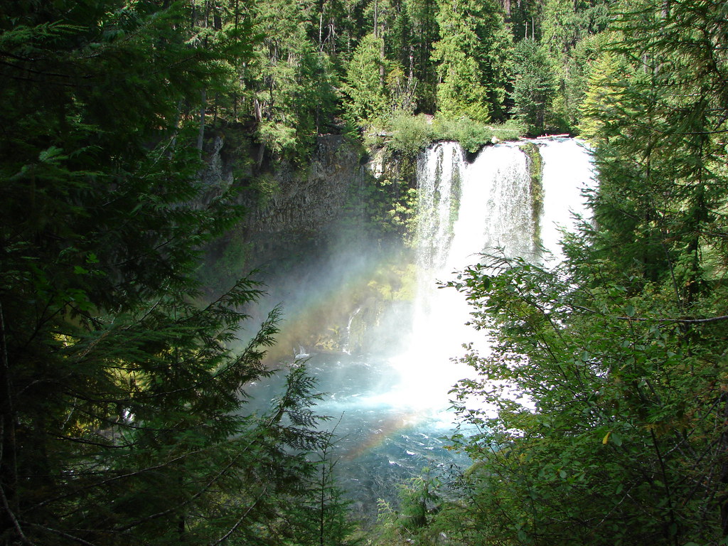
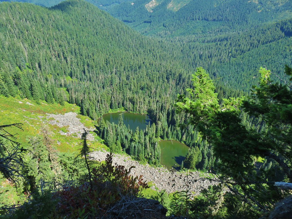 Karl & Ruth Lakes
The clouds were still a bit of an issue but it was now late enough in the day for the lighting to be much better.
 Mt. Jefferson and Three Fingered Jack with Horsepasture Mountain (post) in the foreground.
 Mt. Washington
 North and Middle Sister
 South Sister and Broken Top

We made our way south along the cliffs to reach a view of Mt. Bachelor.

 Mt. Bachelor
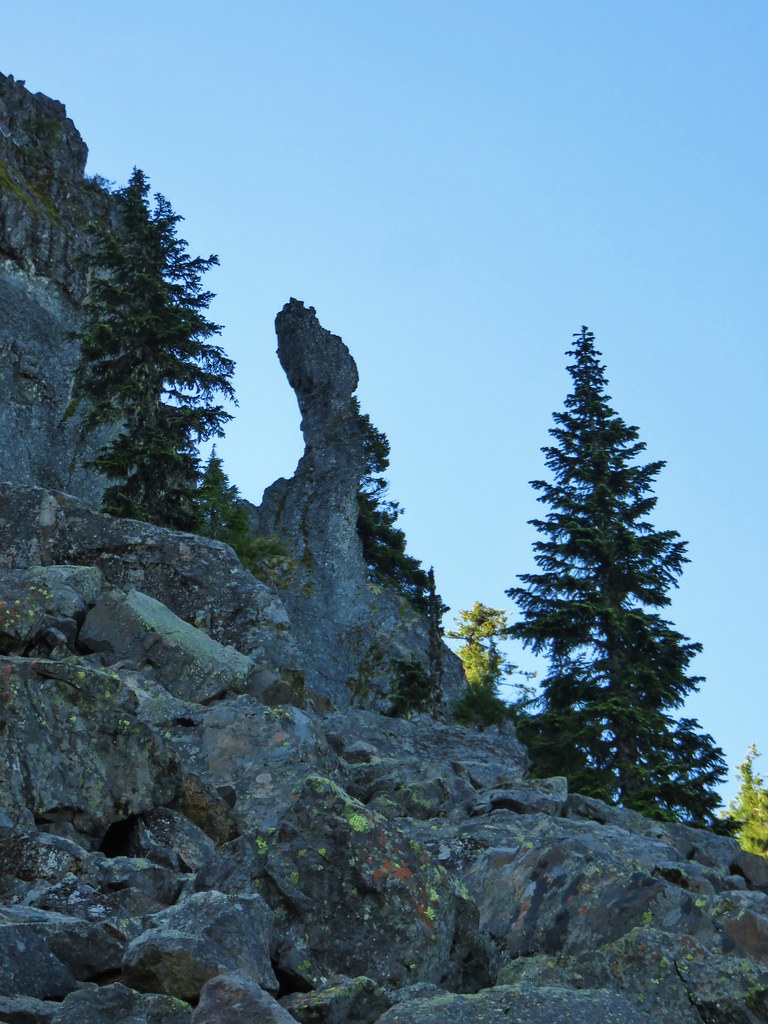
In addition to the great views there was an interesting little rock feature that looked a lot like a head of some kind.

We took a good break here before heading back. On the return trip we discovered that we had actually spent a decent amount of time losing elevation traversing along the hillside on the way to the Walker Creek Trail junction. It had been so gradual that we hadn’t noticed but it was evident that we were going uphill a lot more than we’d expected once we were back on the Lowder Mountain Trail. There were quite a few butterflies out searching for the remaining flowers which gave us something to focus on (in addition to eating quite a few ripe thimbleberries).
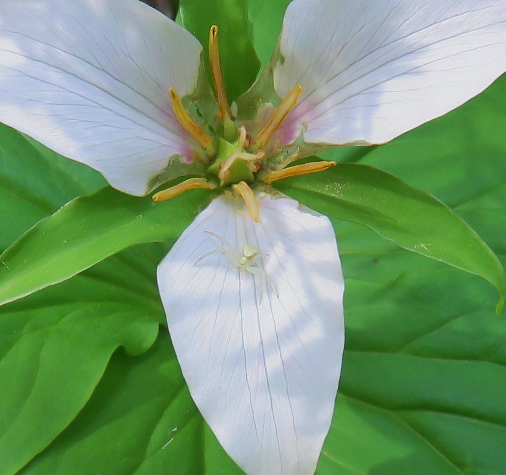
 Butterfly with a small crab spider on the next flower head to the right.
Between taking the wrong trail from the trailhead and wandering around at the viewpoint we managed to turn a 5.6 mile hike into 6.8 miles making our total for the day 14.8 miles. The elevation gains were roughly 1400′ for Olallie Mountain and 900′ for Lowder Mountain. The views were great from both peaks and we were already talking about a return trip earlier in the Summer to see what all the meadows might look like earlier in the year. Happy Trails!
Flickr: Olallie and Lowder Mountains

 The trailhead.
 The caution sign was related to some pile burning that the Forest Service had been doing.
 McKenzie River

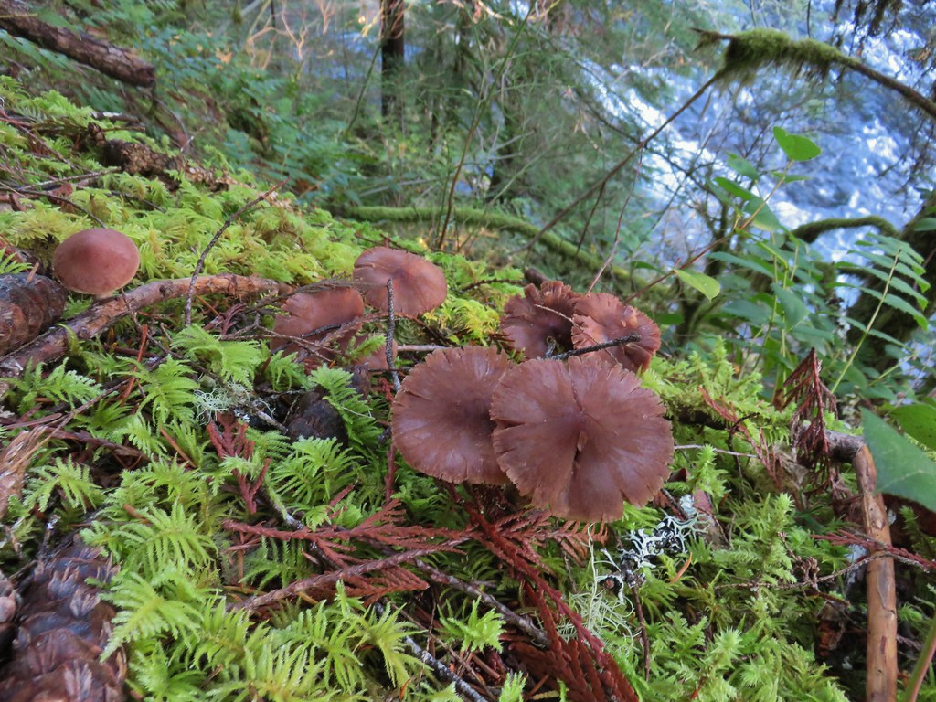
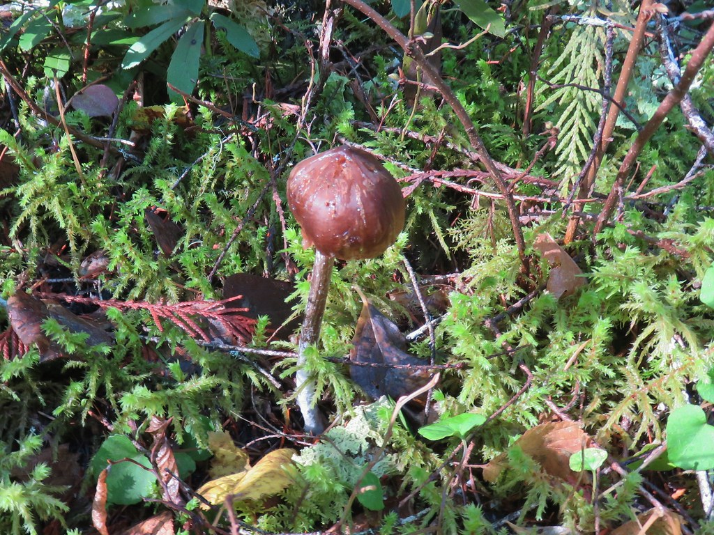
 Mushrooms
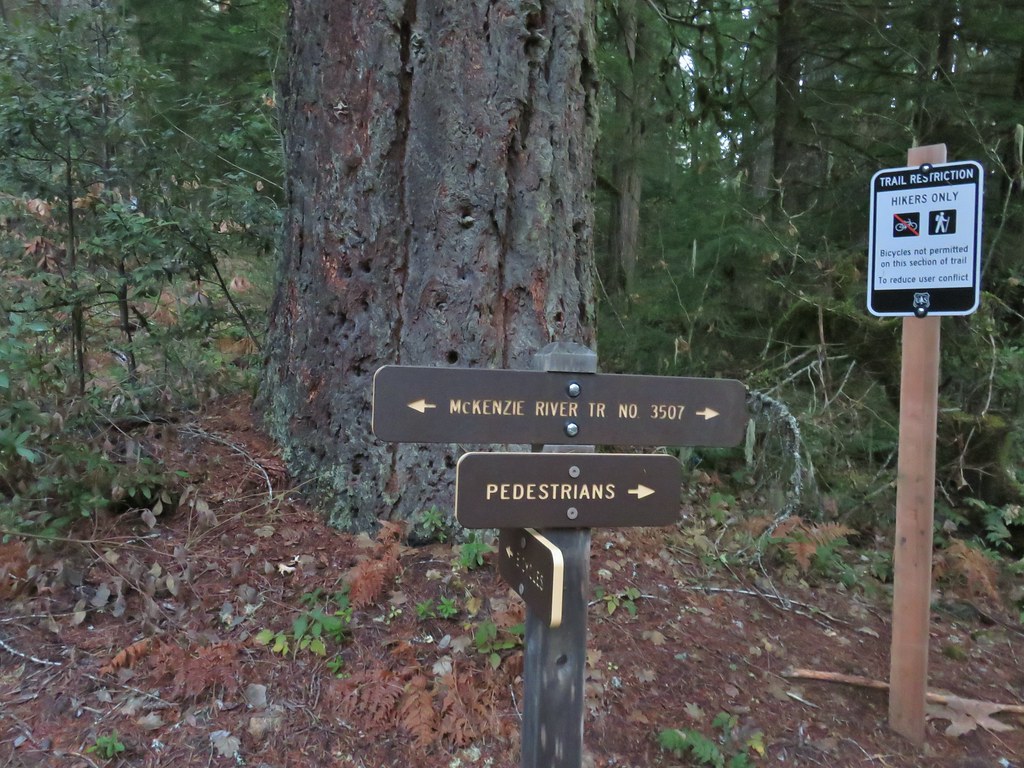
 National Recreation Trail symbol on a tree to the left.


 Private Road sign on Duffy Rd.
 There was quite a bit of witches’ butter fungus along the trail.
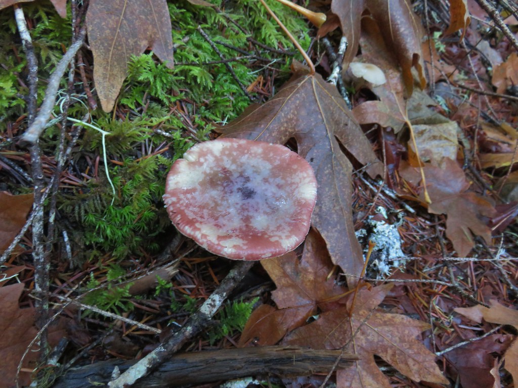
 There were a lot of other mushrooms too.
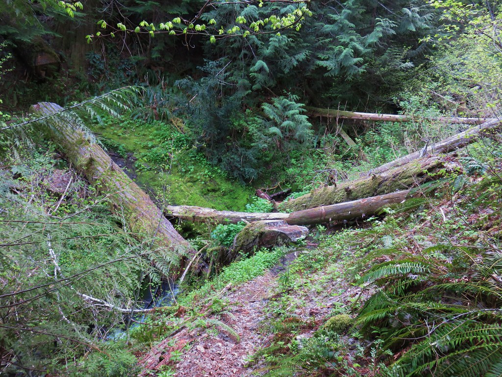
 Unnamed creek crossing.


 Ruby-crowned kinglet. We didn’t see much wildlife on this hike but there were several kinglets flitting among the trees here. This was the only photo of one I managed to get though.
 We had not expected any blue sky so this was a treat. It had rained for most of the drive and sprinkled for a minute shortly after we started hiking, but it had been dry otherwise.
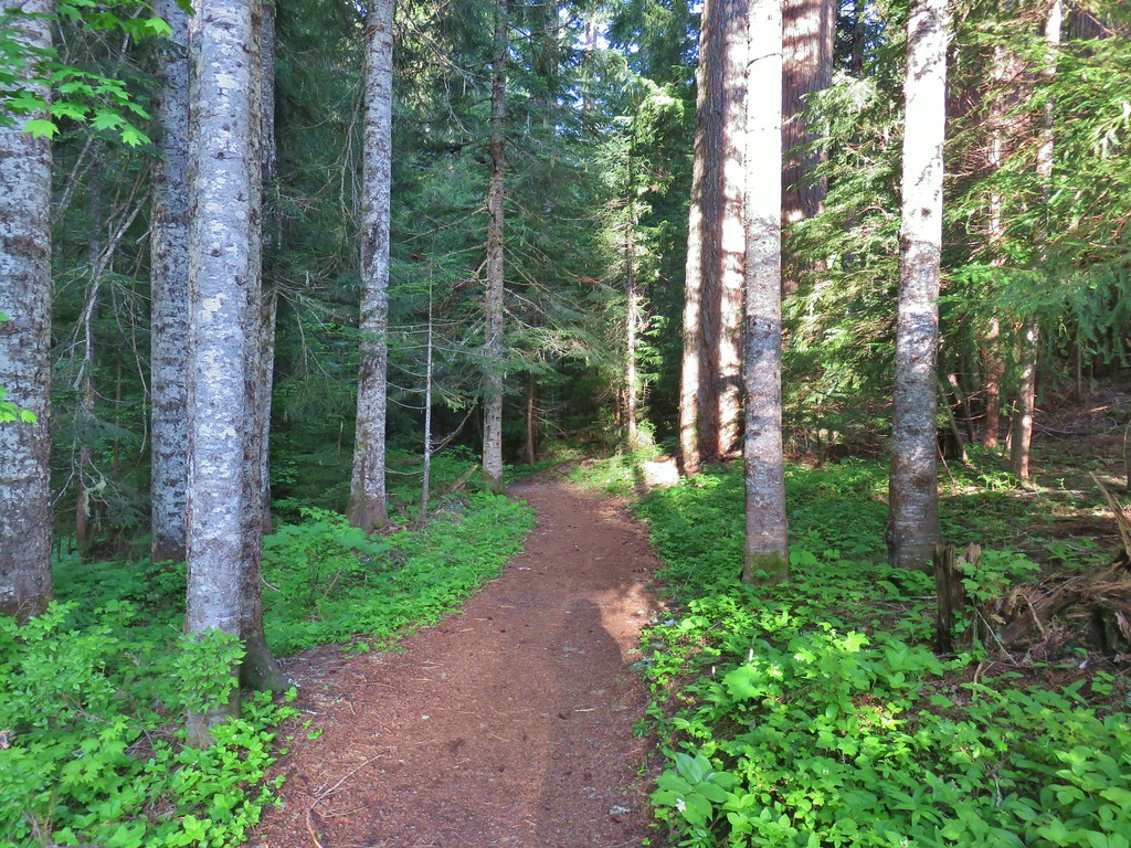
 The trail switching back up a small hill.
 The most significant elevation change was this decent to a footbridge over Lost Creek.
 Coral fungus
 Lost Creek
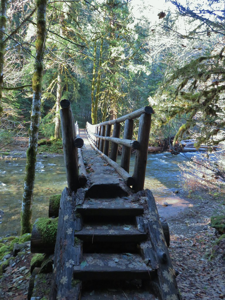
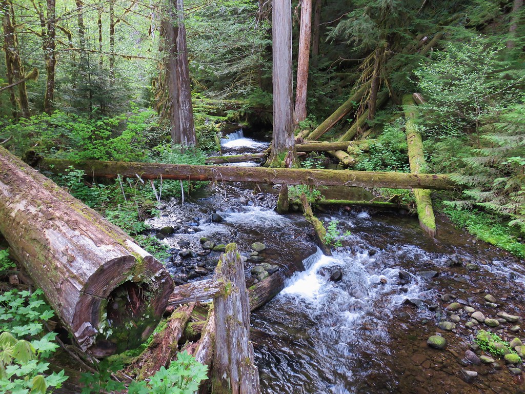
 The footbridge over Lost Creek was a little over 4.5-miles from the Lower McKenzie Trailhead.
 Lost Creek
 Willamette National Forest Boundary
 Approximately 5.25-miles from the trailhead we crossed Belknap Hot Springs Road.
 Sign for the Belknap Hot Springs Lodge and Gardens.
 Unnamed seasonal stream.
 Footbridge over Scott Creek.
 Scott Creek
 Mushrooms
 Footbridge over Boulder Creek.
 Highway 126 bridge over Boulder Creek from the footbridge.
 Boulder Creek flowing into the McKenzie River.
 Forest Road 2650.
 Boat ramp at Forest Road 2650.
 The river from Forest Road 2650.

 This short section along the road is just east of Belknap Springs Road.
 Madrones
 A little sunlight on the forest floor.
 Rain shower falling over Lost Creek. It wasn’t raining hard enough to convince me to pull my rain gear back out.
 I spotted Heather with a little over three and a quarter mile left back to the trailhead. (Look for a little orange in the trees ahead and to the right of the trail.)


 Ours was the only car at the trailhead when we got back.
 Red – Clear Lake, June 2014 (post). Green – Tamolitch Pool, May 2013 (post), Cyan – Middle segment, November 2020 (post).
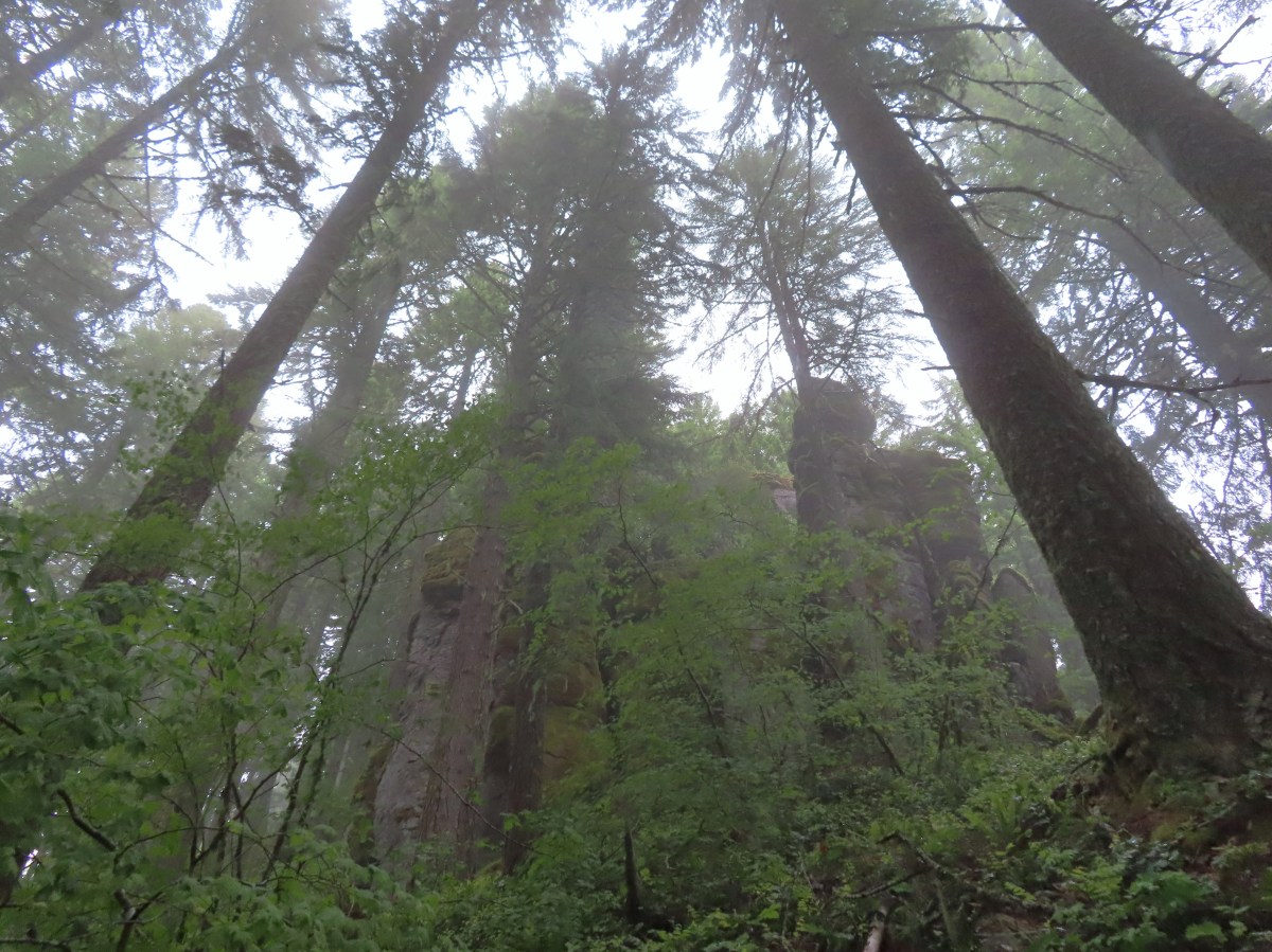


 There were some nice rhododendron blooms along the trail.
 Spotted coralroot
 The first of three crossings of FR 411, this is at the 0.4-mile mark.
 Inside-out flower
 Starflower
 Yellowleaf iris
 The trail is narrow at times but well maintiained.
 Forest filled with rhododendron.
 A closer look at the rhodies.
 There were several madrones in the forest.
 Little prince’s pine
 Sugar sticks
 There were a few places where we might have had a view if not for the clouds.
 Stonecrop
 Passing below some of the rock formations.


 Anemones
 Bleeding heart

 The first small meadow that the trail passed through was full of blue-eyed Mary.

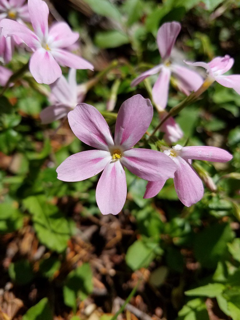
 Northern phlox
 Coming up on another small meadow.
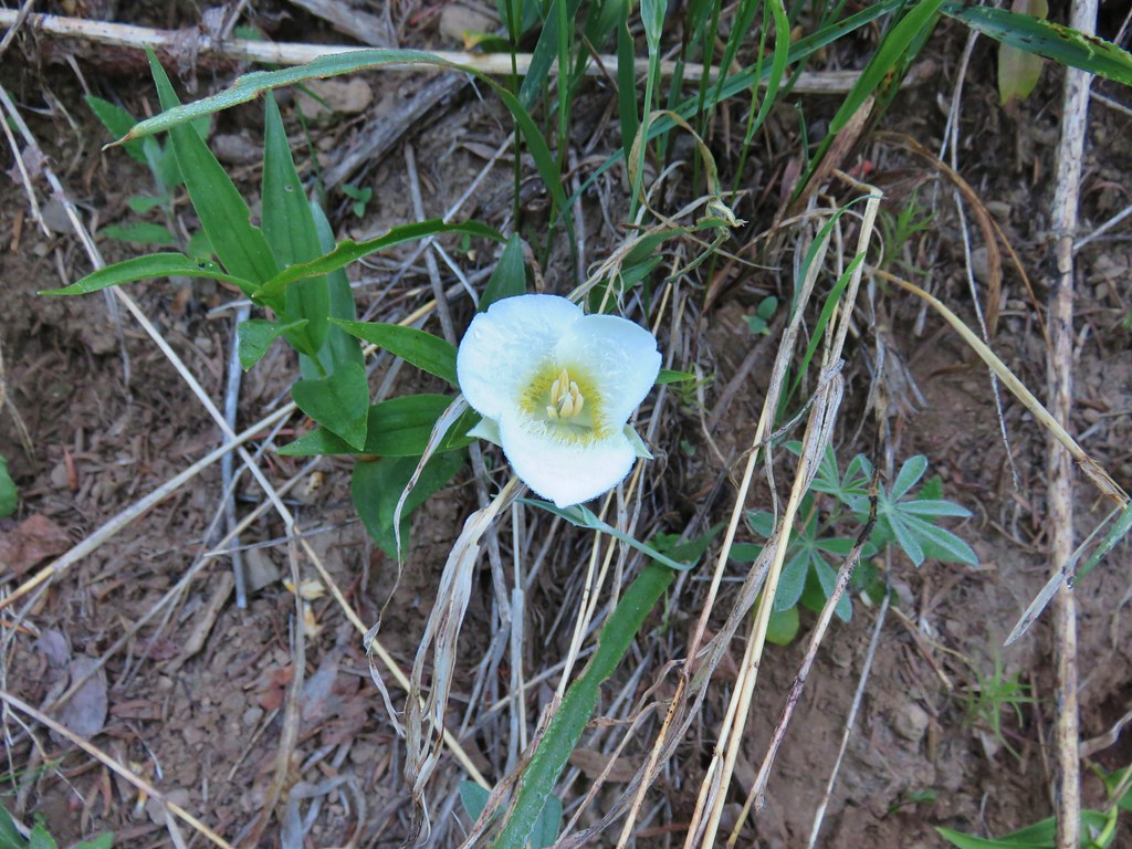
 Subalpine mariposa lily
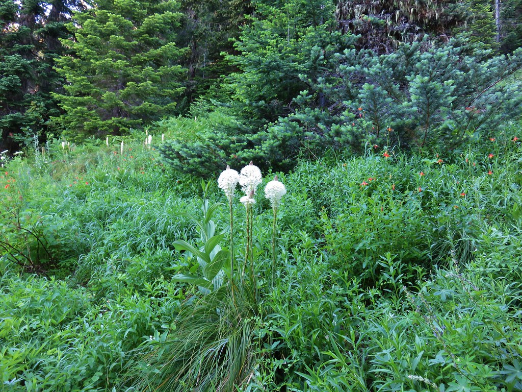
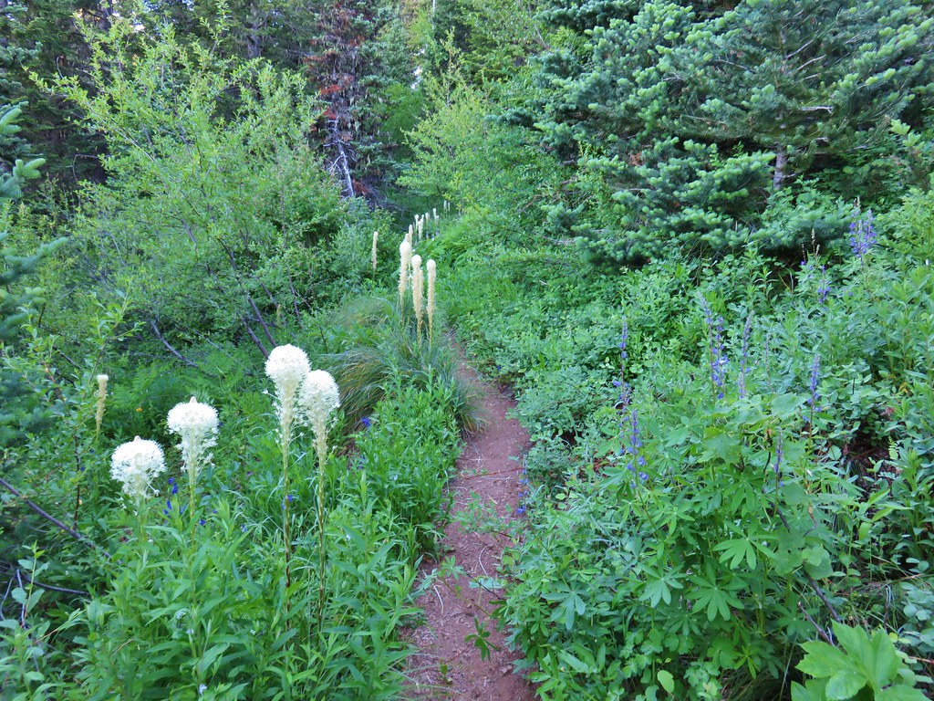
 Beargrass
 The fog didn’t help with our trying to find the trail. There was enough room along this section of road that parking and starting the hike from here would be possible.
 Back on trail.
 Honeysuckle
 More northern phlox
 This meadow was full of bluehead gilia.


 The trail dropped steeply as it rejoined FR 411.
 There was no parking room that we could see near this area.
 Vanilla leaf along the trail.

 Bunchberry
 Trillium
 We stopped when we spotted something in the trail ahead that looked like it might be an animal. Using the camera to zoom we realized it was a grouse hen with her little chicks.
 The hen got up and then the chicks headed into the underbrush. We felt bad having disturbed them, but once they’d moved, we calmly passed by while momma came back to gather her little ones.
 This was all beargrass, but none of the plants in this area appeared to be planning on blooming this year.
 Hermit thrush
 The rocky summit of MacDuff Mountain.
 A lot of larkspur.
 Subalpine mariposa lilies
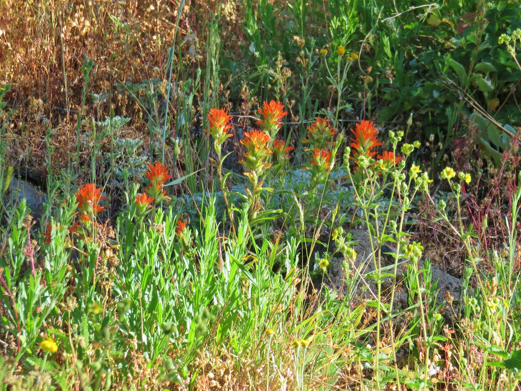
 Paintbrush and buckwheat
 Cinquefoil
 A penstemon


 The view from the top.
 No blue sky that way.
 No sign of clearing this way either.
 Cliff beardtongue
 Woodland-stars
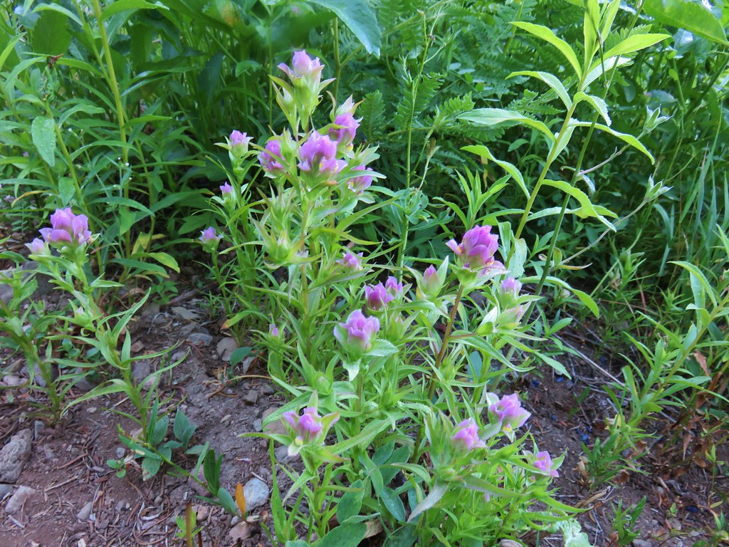
 Paintbrush
 Hey look, there is another ridge over there.
 Ookow just starting to open up.
 Steep climb or road walk? We chose the trail again on the way back.
 A wetter road now thanks to the rain shower.
 Blue sky, it does exist.
 The clouds got a late start but eventually started lifting.
 From this angle it looks like a statue.
 Looking down from some of the switchbacks.
 Cougar Reservoir
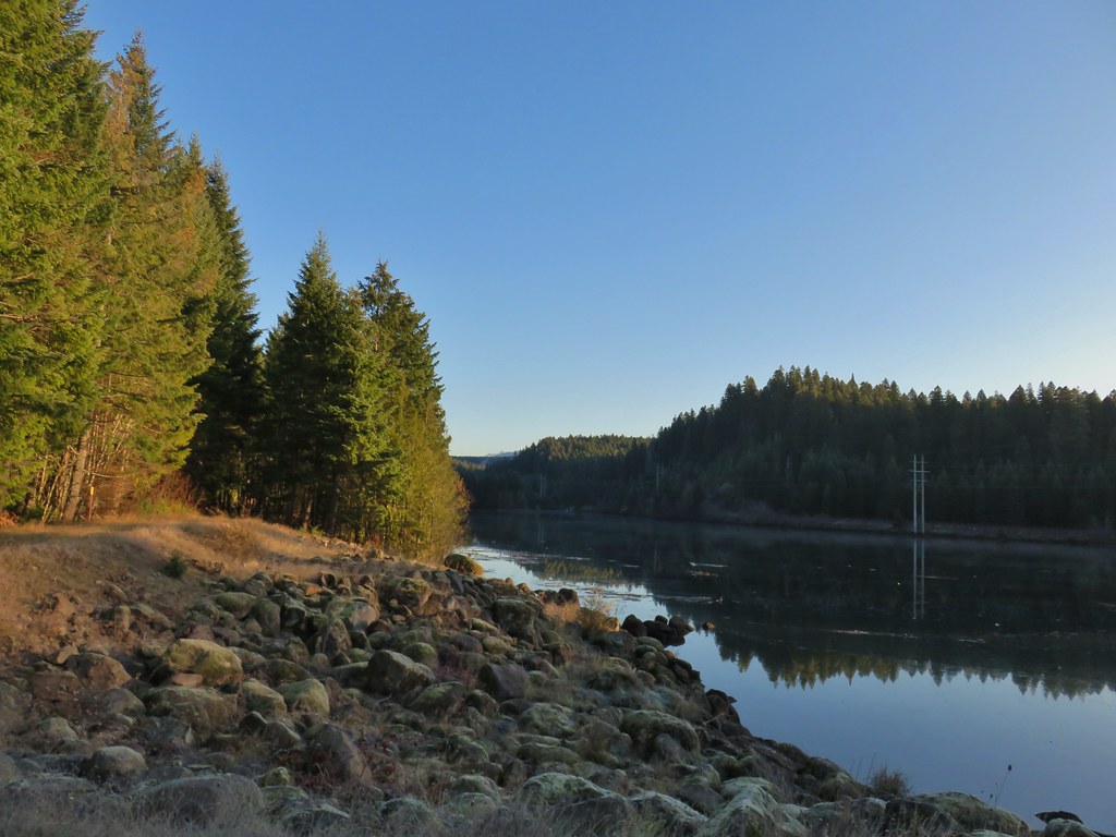
 Pyrola
 Sunlight!
 I’ve never seen a track this far off.
 The track after manually editing it.
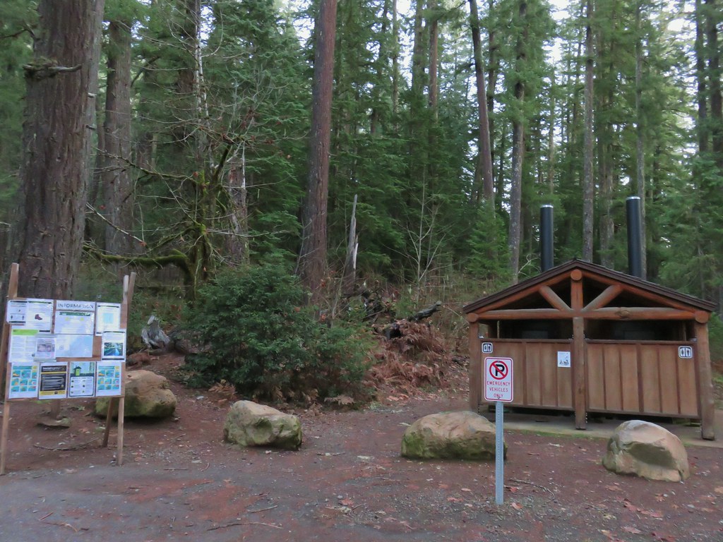


 Forest road crossing.
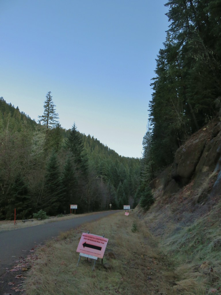


 The top of Three Fingered Jack is visible in the distance.
 Fall means mushrooms.


 Anderson Creek joining the McKenzie.
 Olallie Creek across from the trail.
 Turning up Deer Creek to reach the footbridge.
 Up river from Deer Creek Road.
 Deer Creek Hot Springs would be somewhere along the right hand side of the river.
 We had to go around this bridge due to frost and it being at an angle.

 Footbridge over Frissel Creek.
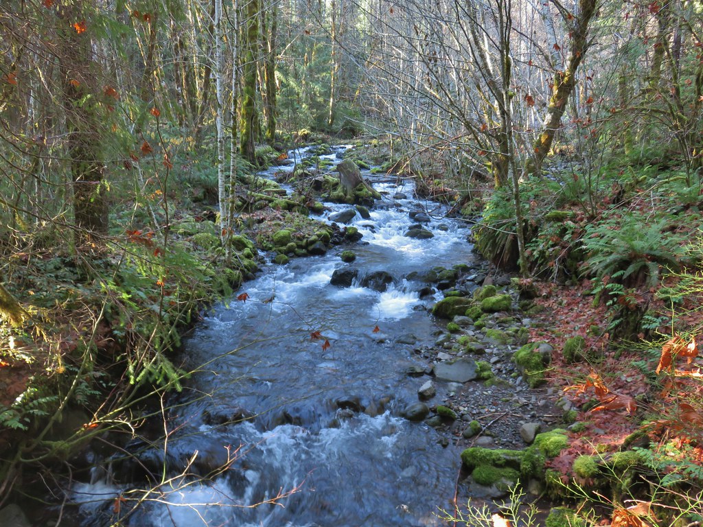
 Sun over the McKenzie River
 FR 610
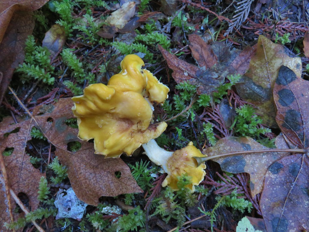

 We missed this sign for slough creek the first time by.
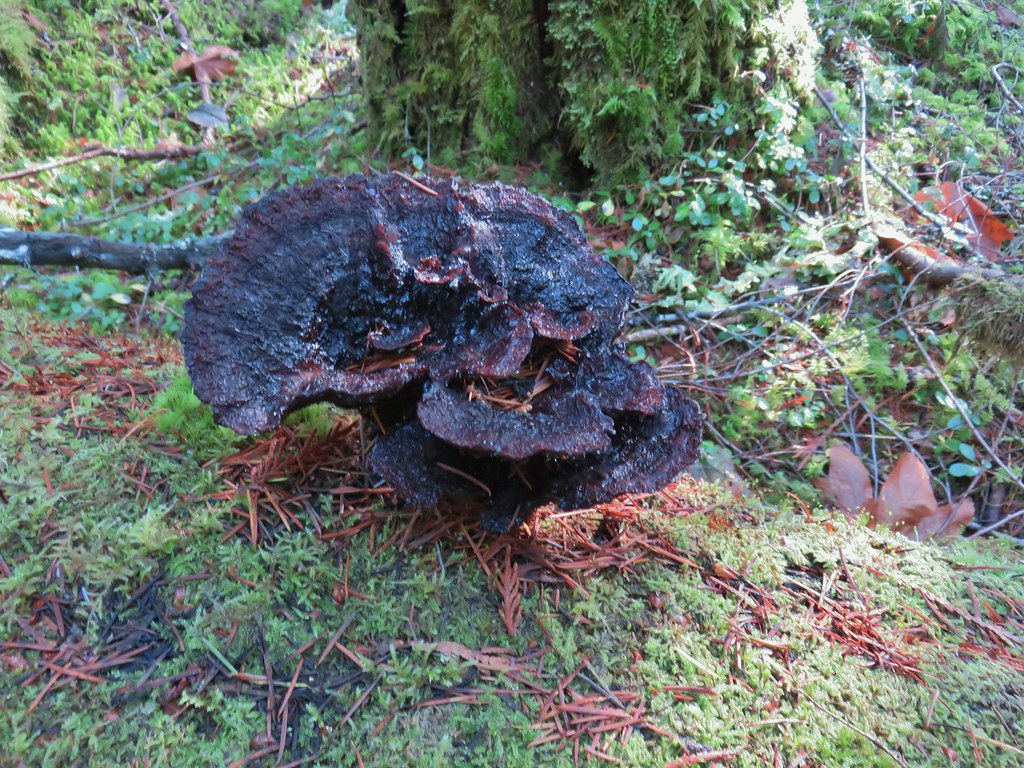

 Missed this survey marker too.
 We also completely missed this sign at Deer Creek.
 Still cold


 Without the use of the zoom on the camera they are hard to make out but the tops of the North and Middle Sister are visible over the hills.


 The wheelchair friendly path.
 The hiker path.
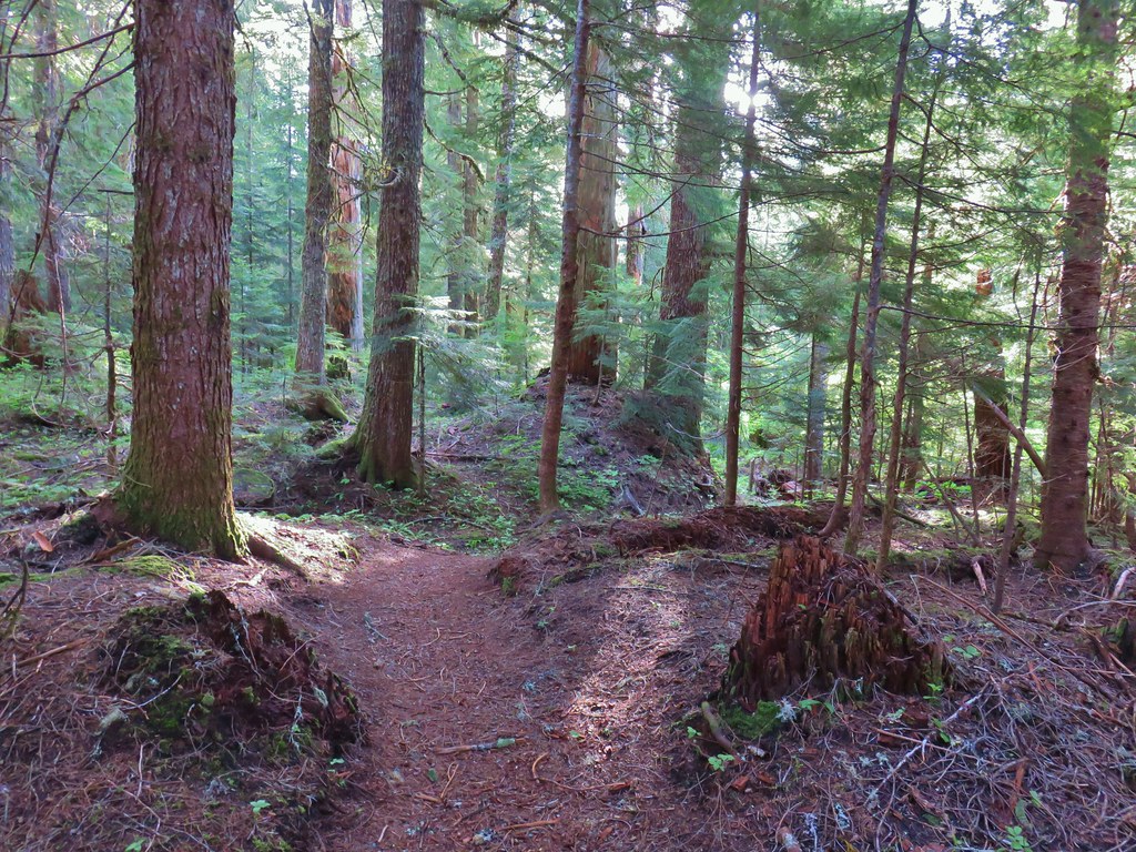 The hiker trail.
 Western meadowrue
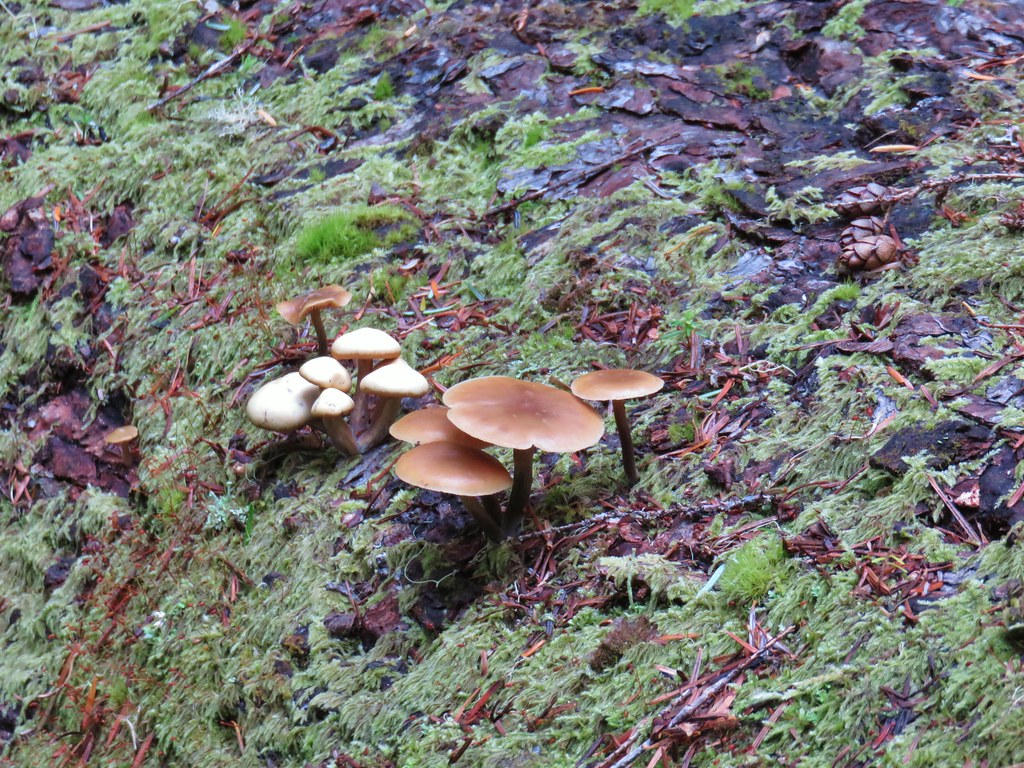 Mushrooms on a log.
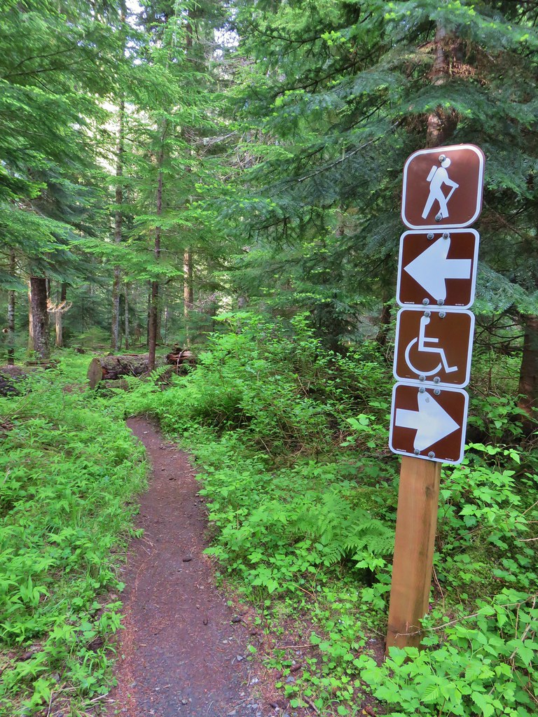
 Echo Basin Trail at FR 055.
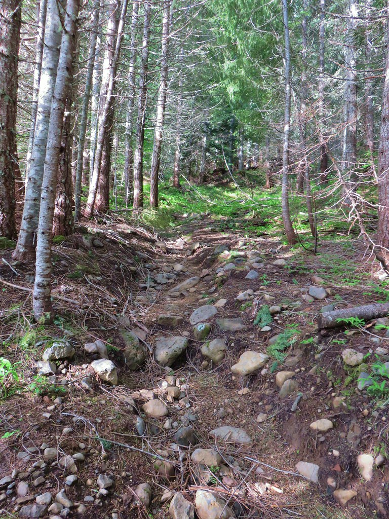 Rocky start to the trail.
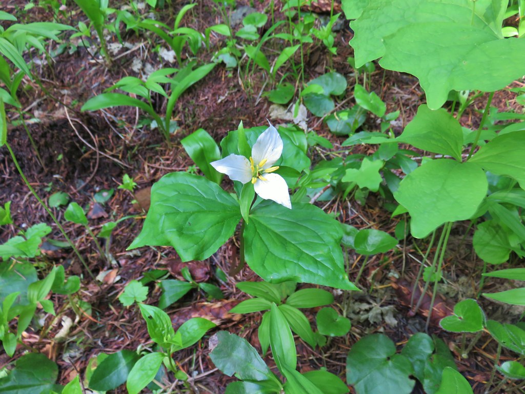 Trillium
 More trillium along the meadow.
 Swallowtail on salmonberry blossoms.
 Start of the loop.
 Orange tip butterfly
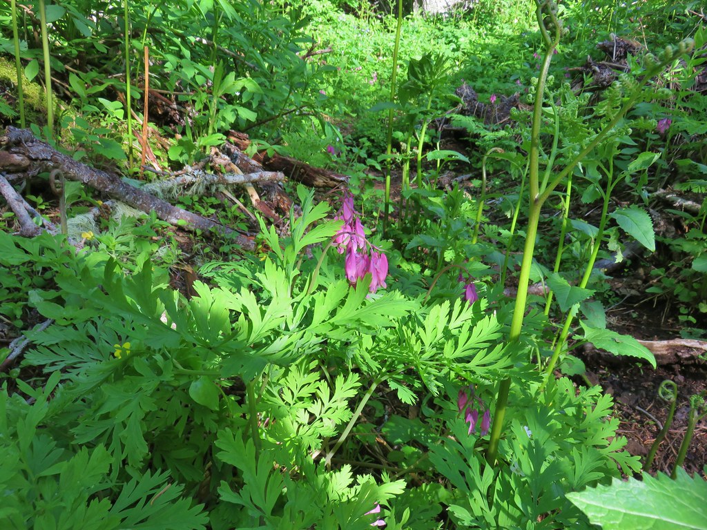 Bleeding heart
 Violets
 Fairybells
 Royal Jacob’s ladder
 Western meadowrue
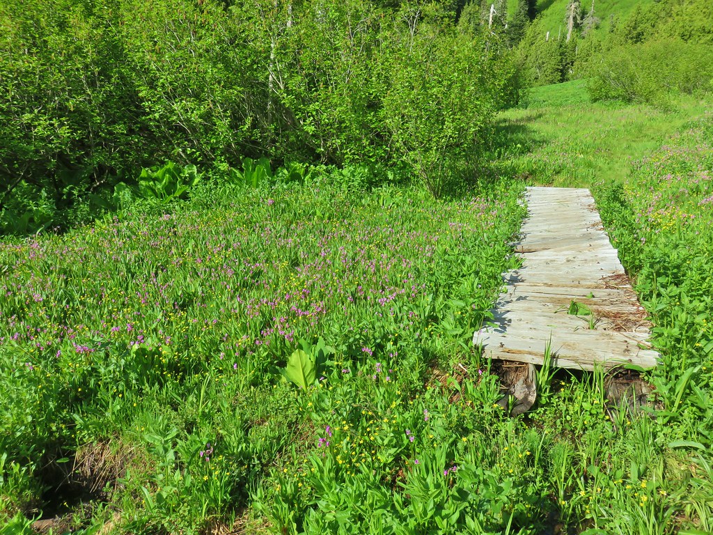


 Paintbrush
 Frog
Frog Looking back at the route through the meadow.
 The trailhead off of FR 2672.

 Iris
Iris Beargrass
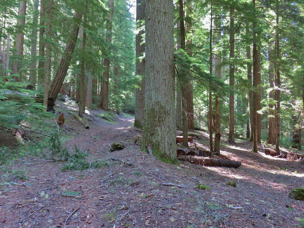 Santiam Wagon Road
 Bunchberry
 Musk monkeyflower

 Hall House
 Commissary Cabin
 Commissary Cabin innkeeper?
 More from the remount station
 Browder Ridge (
 Interpretive signs for the remount station.


 Vanilla leaf
 False solomonseal
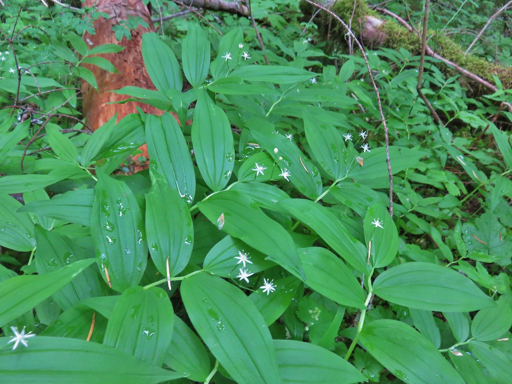 Star-flowered solomonseal
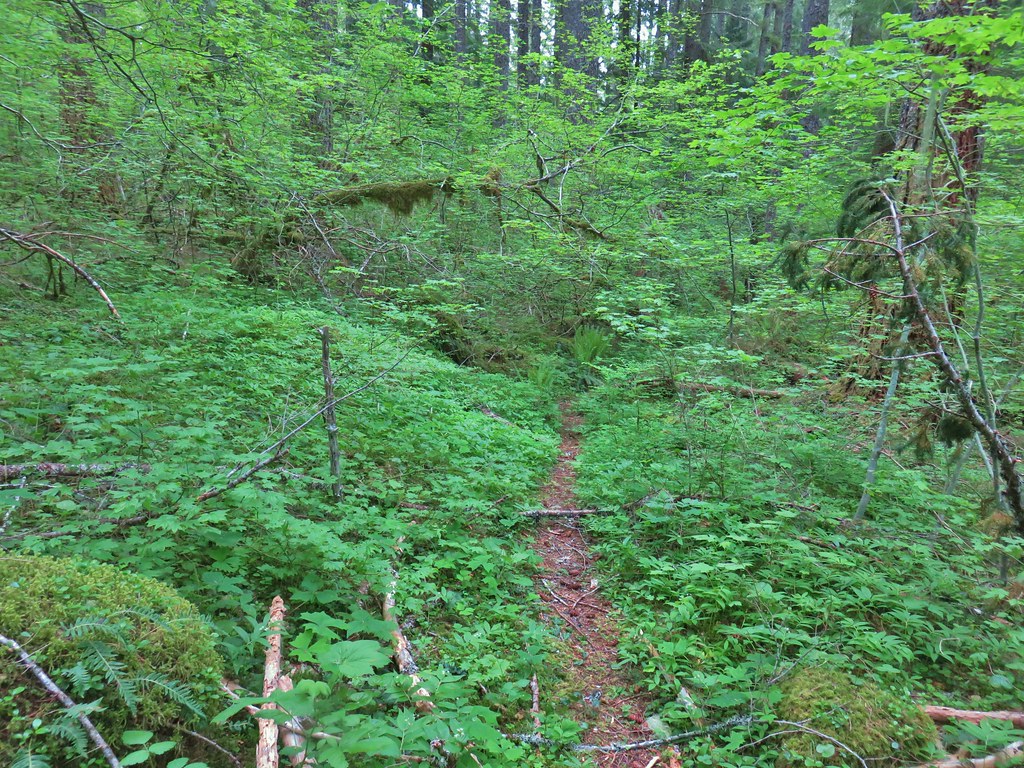
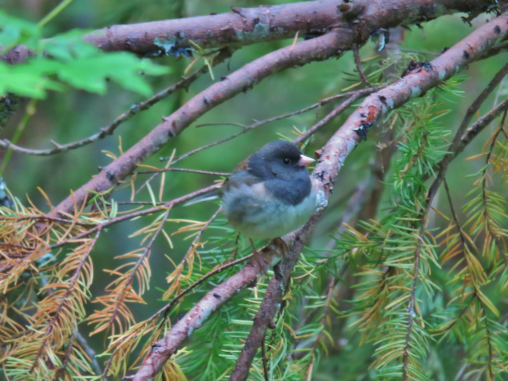 Junco
Junco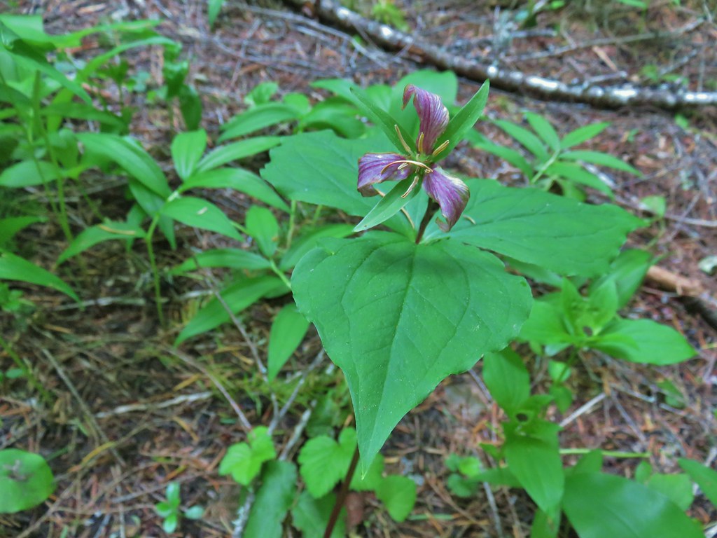 Trillium
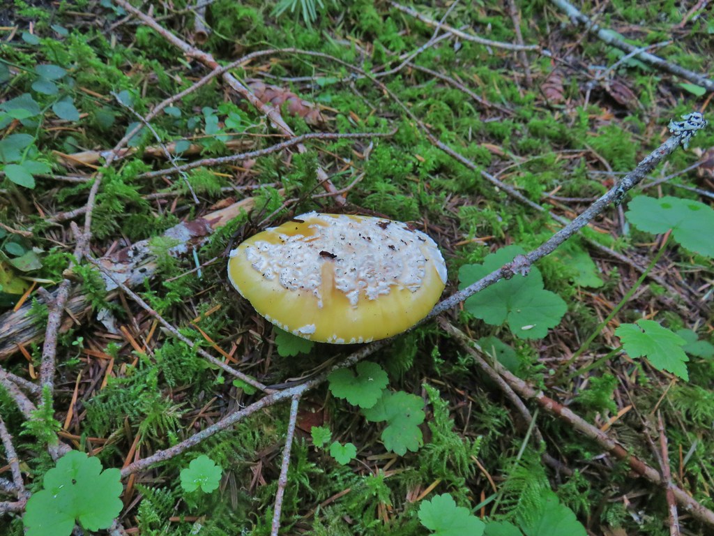 We saw a lot of this type of mushroom.
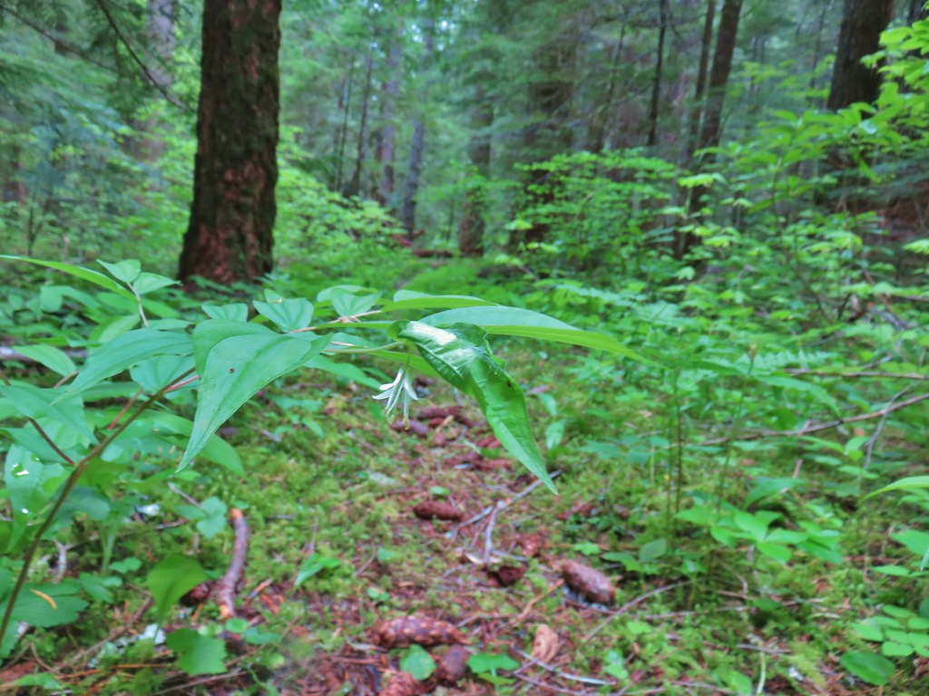 Fairybells
 East Fork South Fork McKenzie River
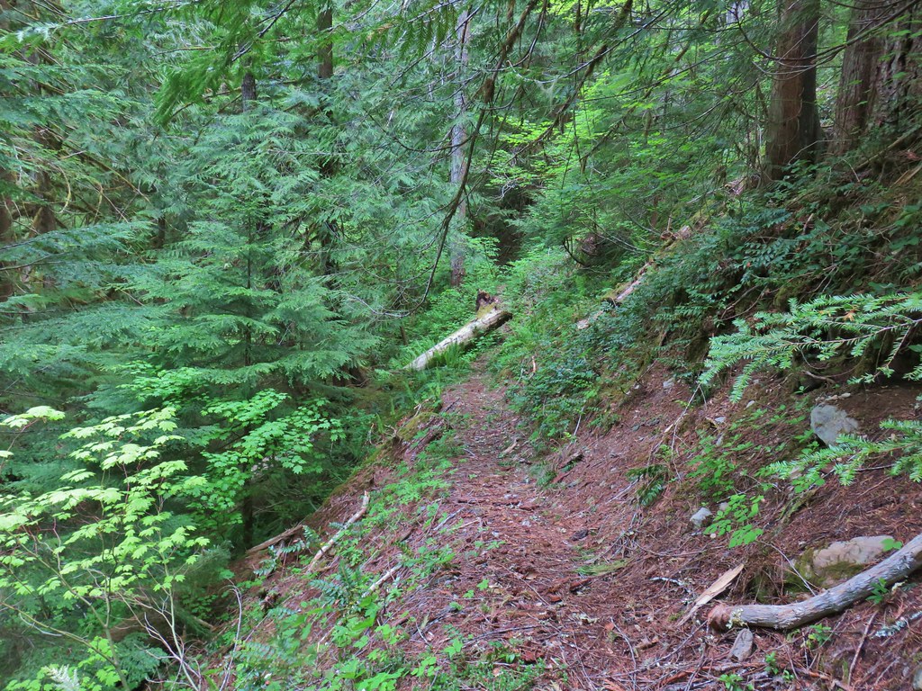


 Vanilla leaf, valerian, and a slug.
 Oregon grape
 Salmonberry
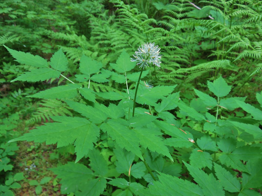 Baneberry
 Violets
 Sour grass
 Queen’s cup
 Fern unfolding
 Mushrooms
 Maidenhair ferns
 We also watched out for the nasty Devil’s Club and its thorns.


 The grouse is the blurry brown thing ahead and to the left of the trail.
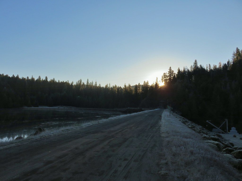
 Start of the Saddle Trail at FR 1993
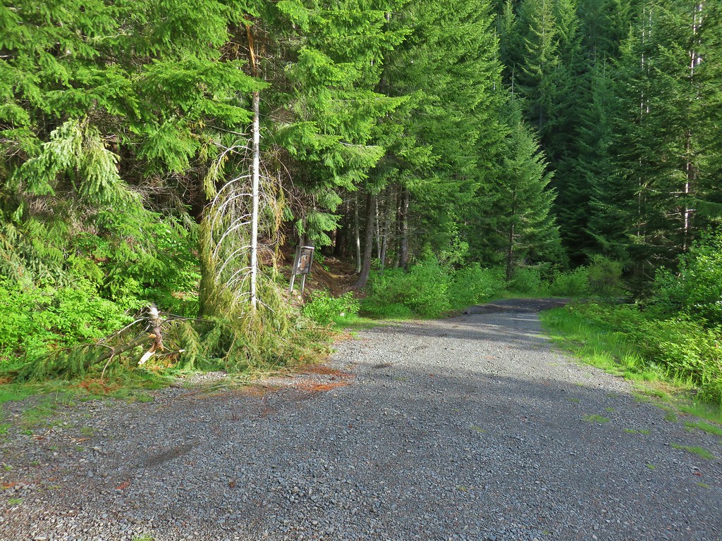


 A penstemon starting to bloom
 A line of paintbrush
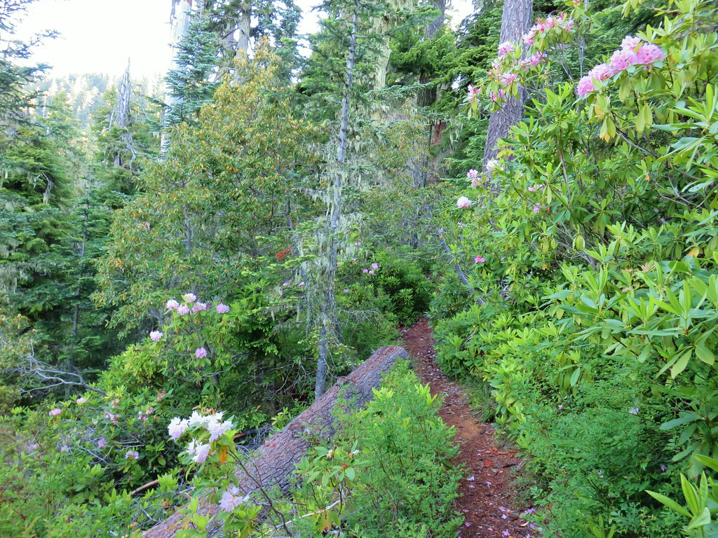
 Rhododendron
 Rhododendron
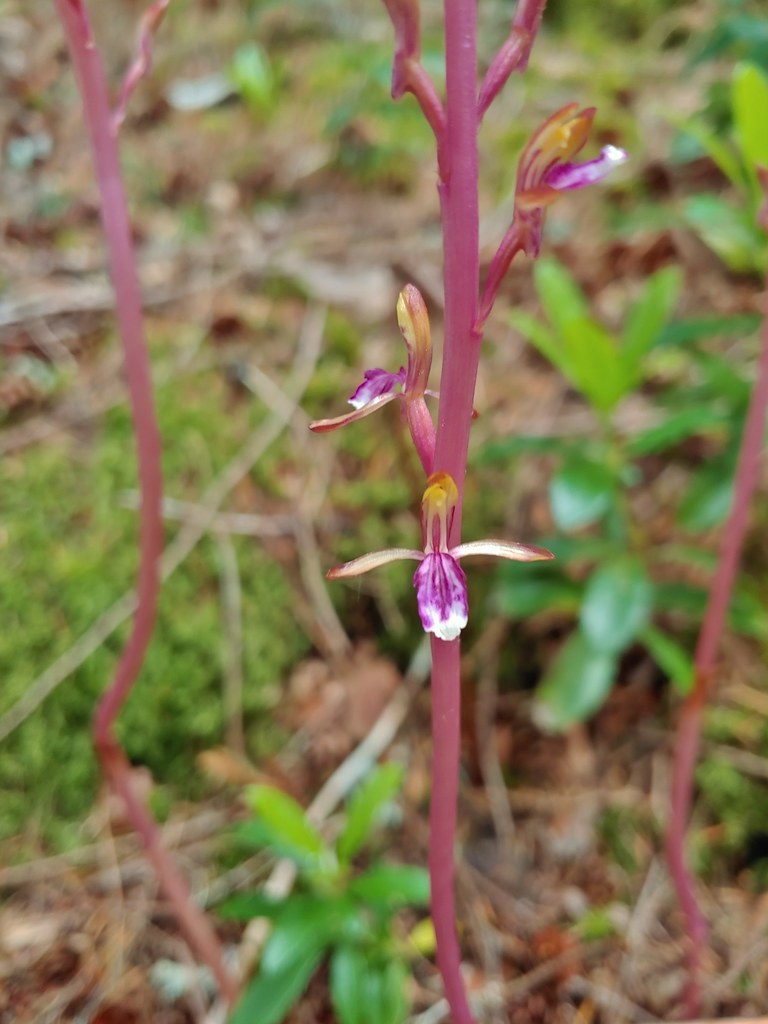 Pacific coralroot
 Northern phlox
 Pinesap (I think)
 Oregon grape
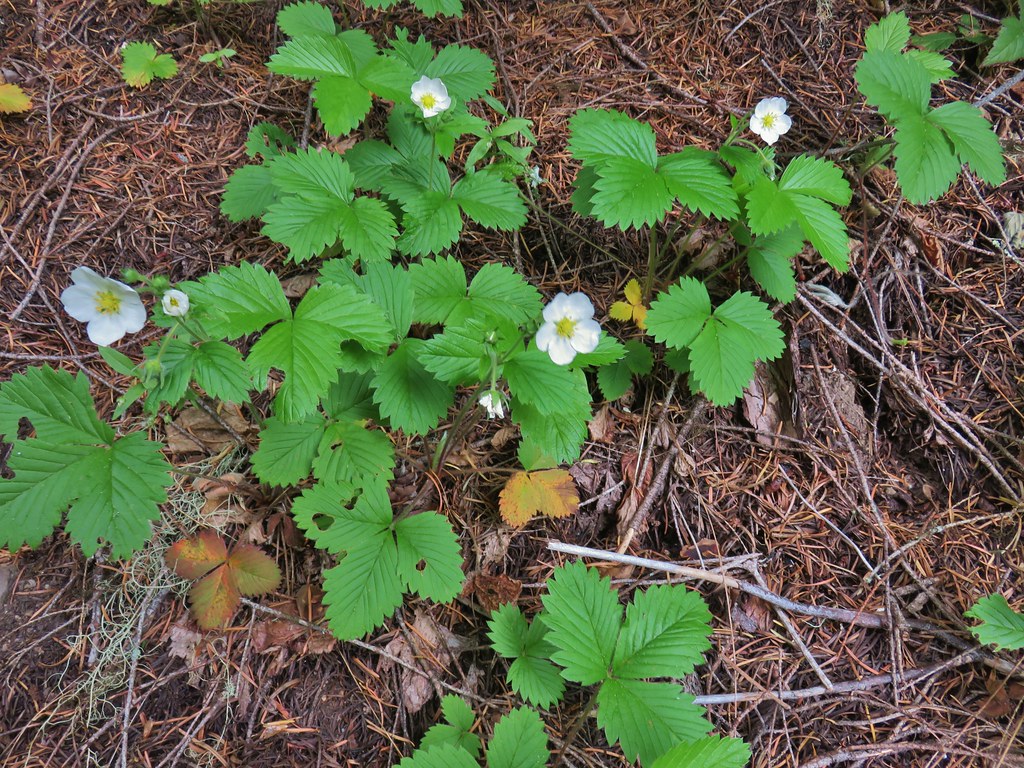 Strawberry
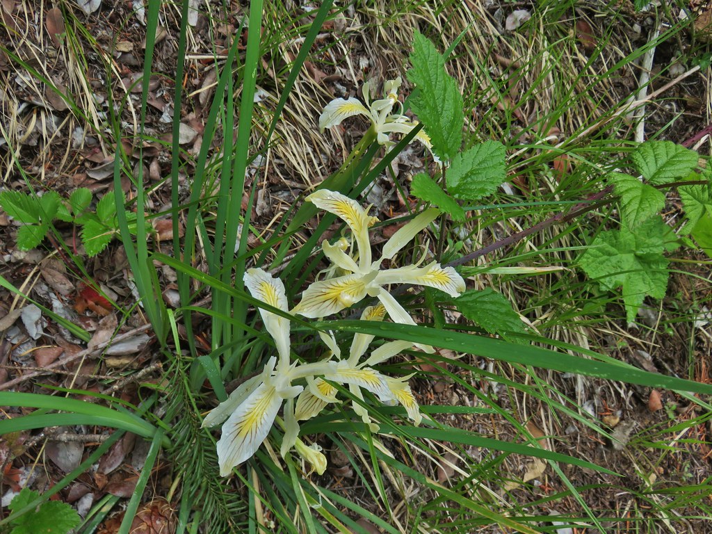 Yellowleaf iris
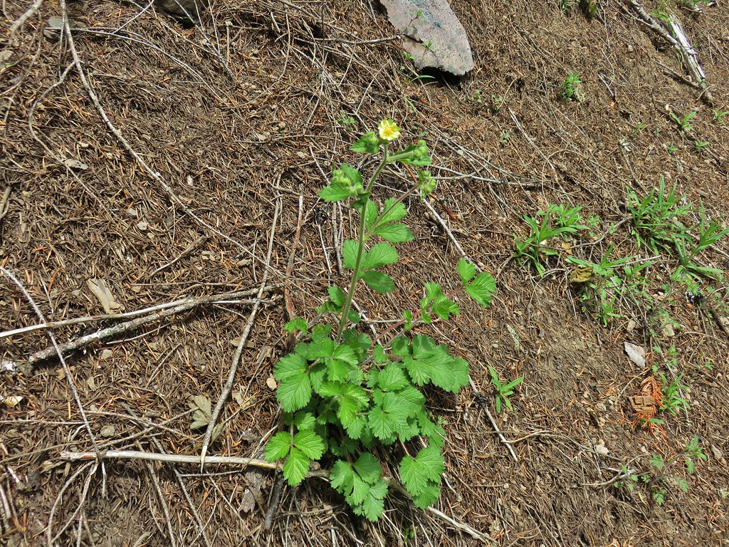 Sticky cinquefoil
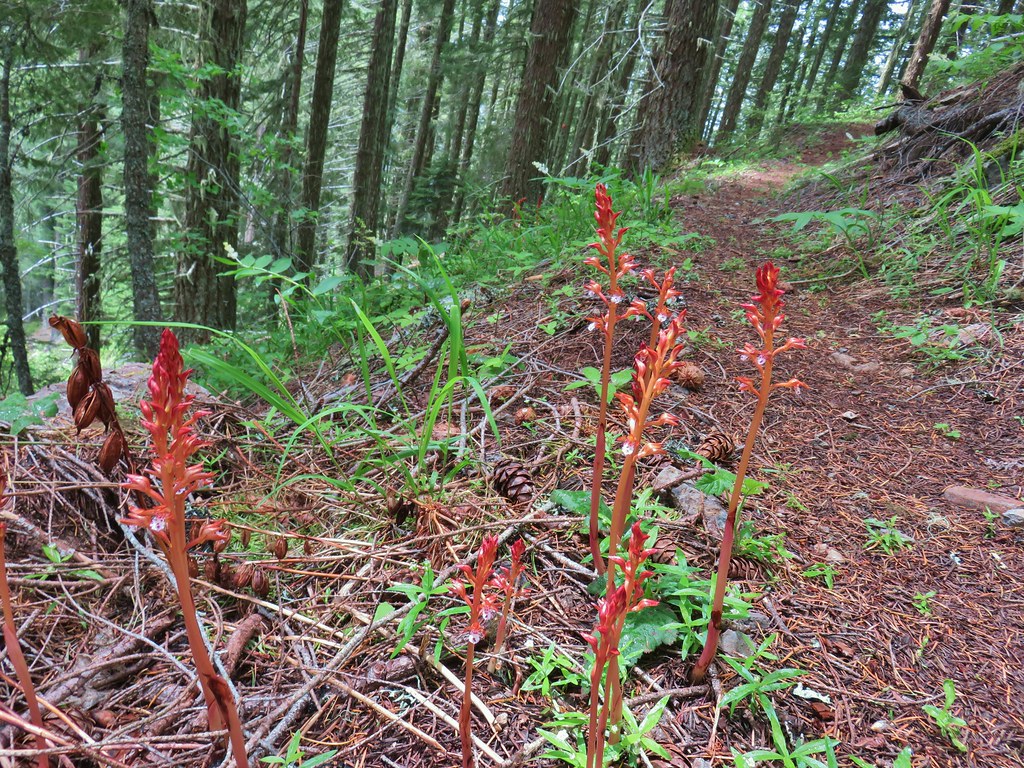 Spotted coralroot
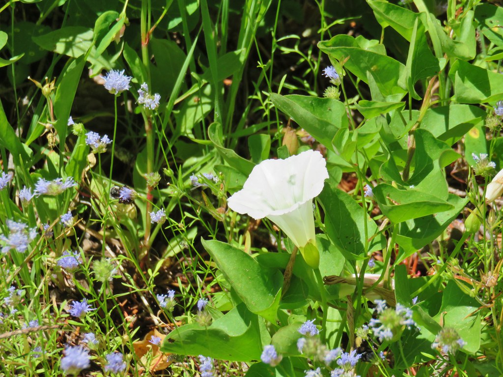
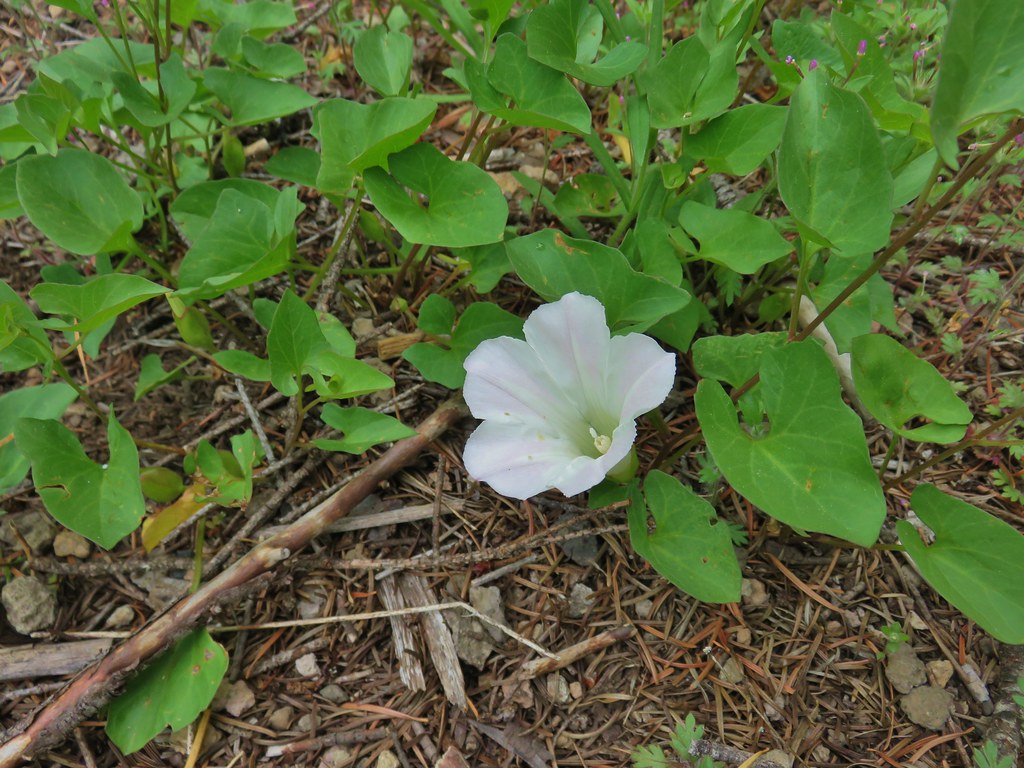 Nightblooming false bindweed
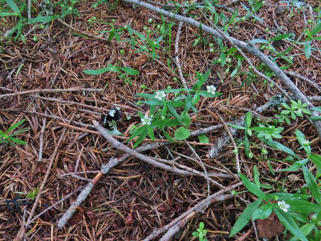 Largeleaf sandwort
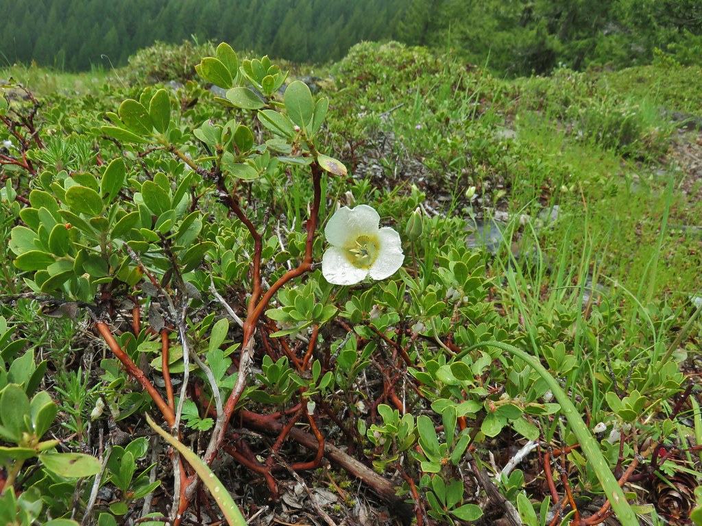 Subalpine mariposa lily
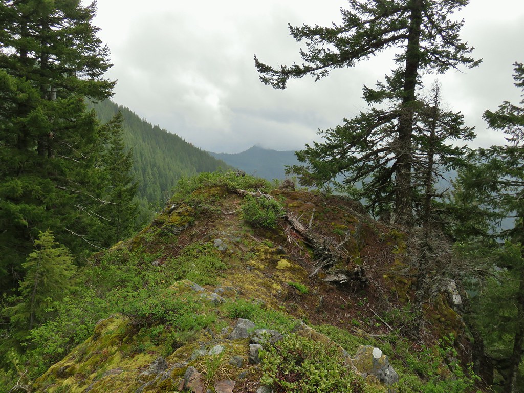
 Phlox
Phlox Rosy pussytoes

 Larkspur
 Biscuitroot
 Blue-eyed Mary
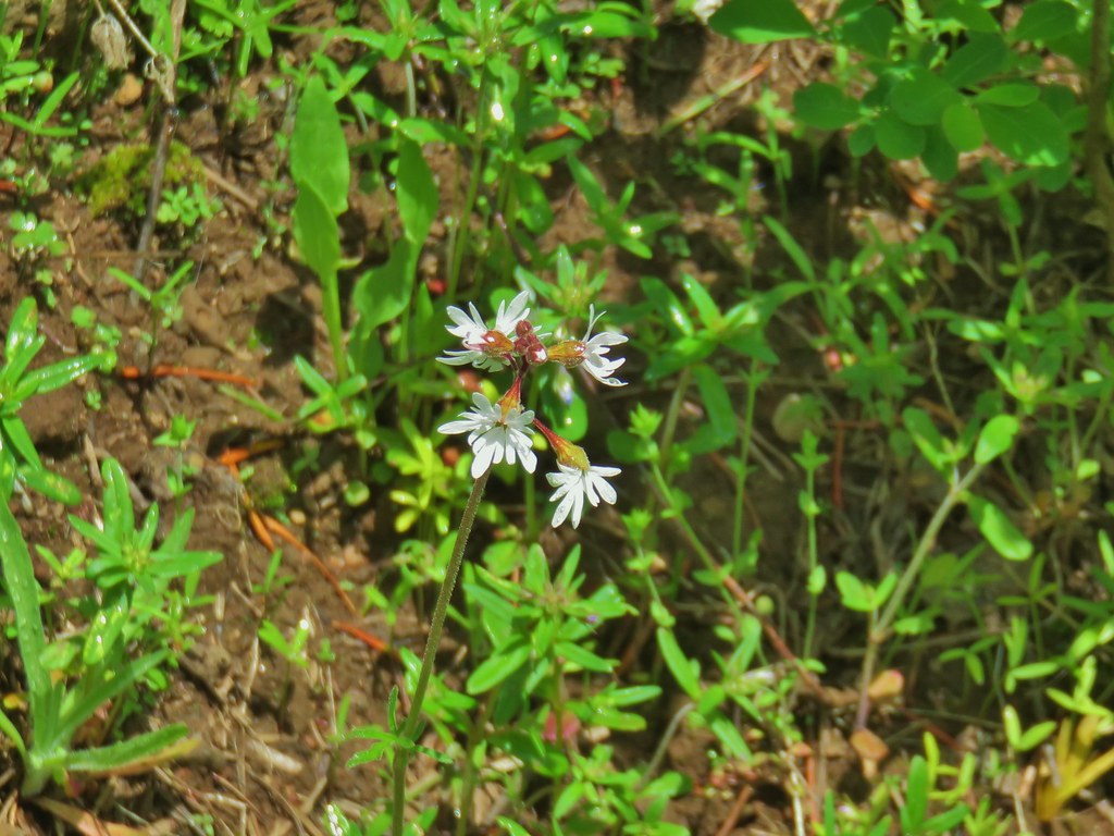 Woodland star
 Serviceberry
 Monkeyflower
 Royal Jacob’s ladder
 Something in the pea family.
 Alpine pennycress
 Junco amid the flowers.
 Bear scat in the meadow.
 Tall bluebells
 Trillium
 Wild ginger
 Bleeding heart and tall bluebells.
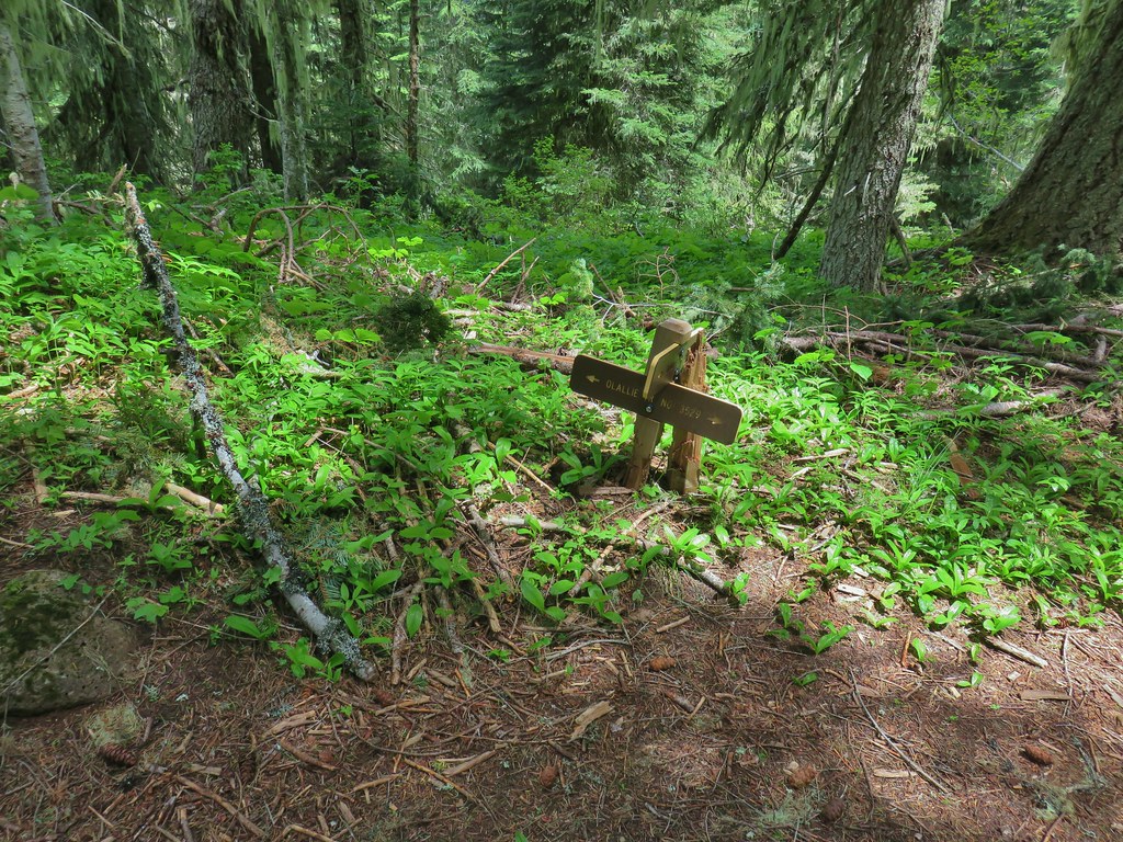 The Olallie Trail
 FR 877 at FR 1509


 Penstemon
 Showy phlox
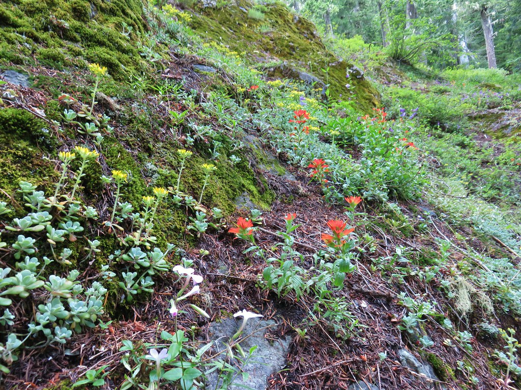 <script async src=”//embedr.flickr.com/assets/client-code.js” charset=”utf-8″Paintbrush and stonecrop
 Anemone
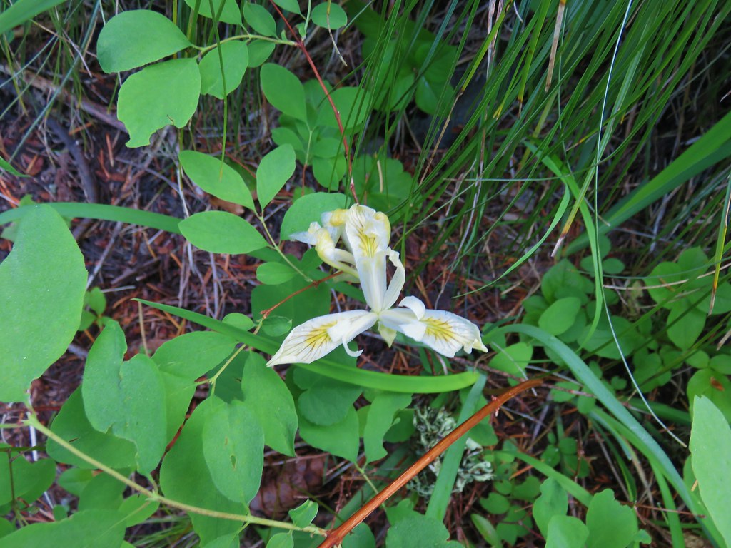 Iris
Iris Arnica


 Looking west toward the Green Mountain Lookout.
 Green Mountain Lookout
 Mt. Jefferson
 Three Fingered Jack
 There is at least one pika in this picture.
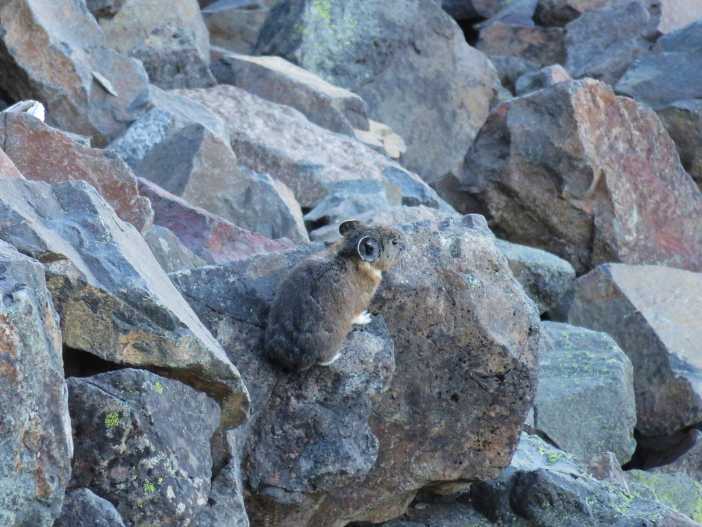
 There is another one in this picture.
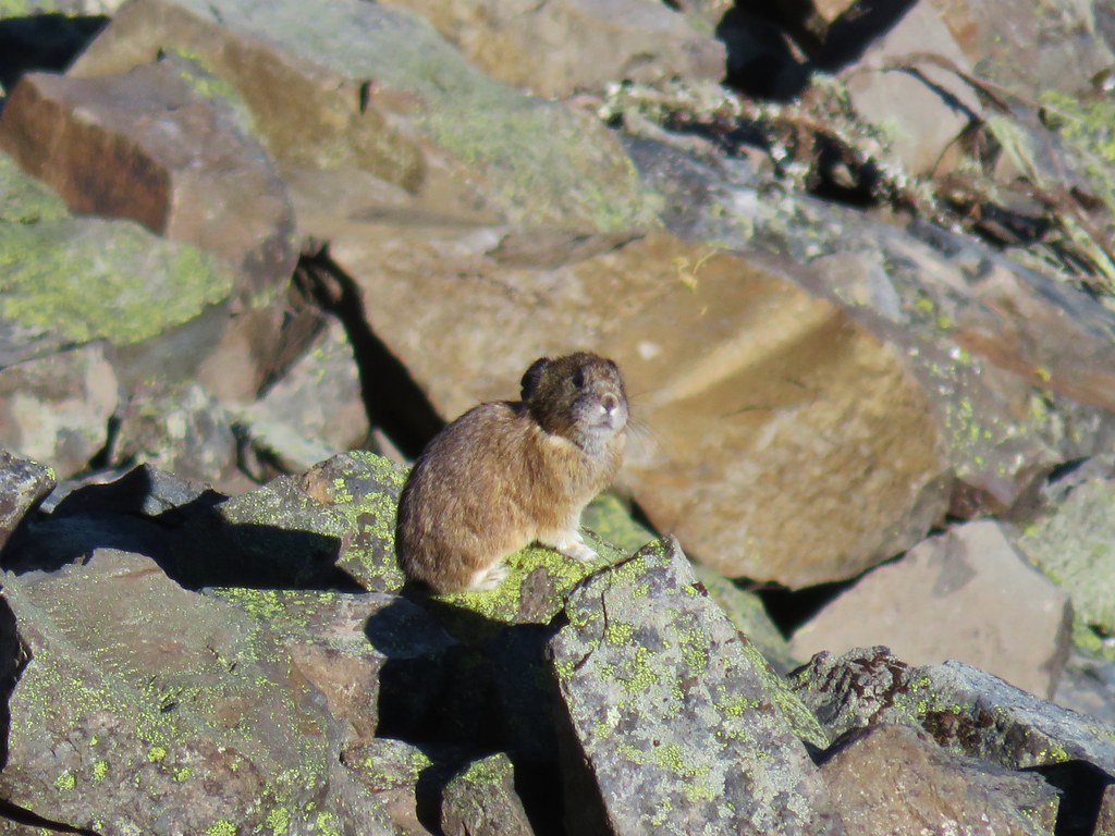


 Columbine and solomonseal in the talus slope.
 Last of the snow along the talus.

 Catchfly on the way up.
 Lookout remains below the summit.
 Foundation remains
 Wildflowers at the summit.
 NE we could see Mt. Hood, Mt. Jefferson, and Three Fingered Jack.
 Mt. Jefferson behind Iron Mountain and Cone Peak
 Three Fingered Jack
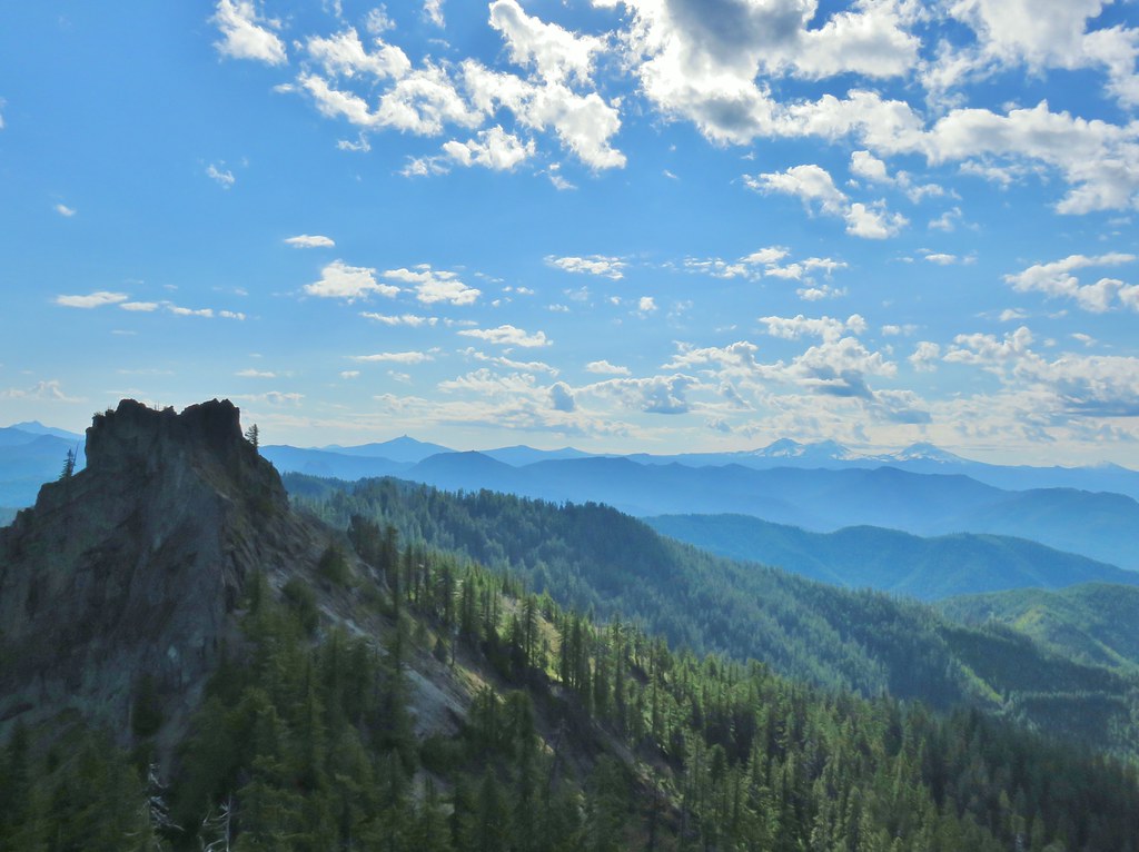
 Mt. Washington
 Three Sisters
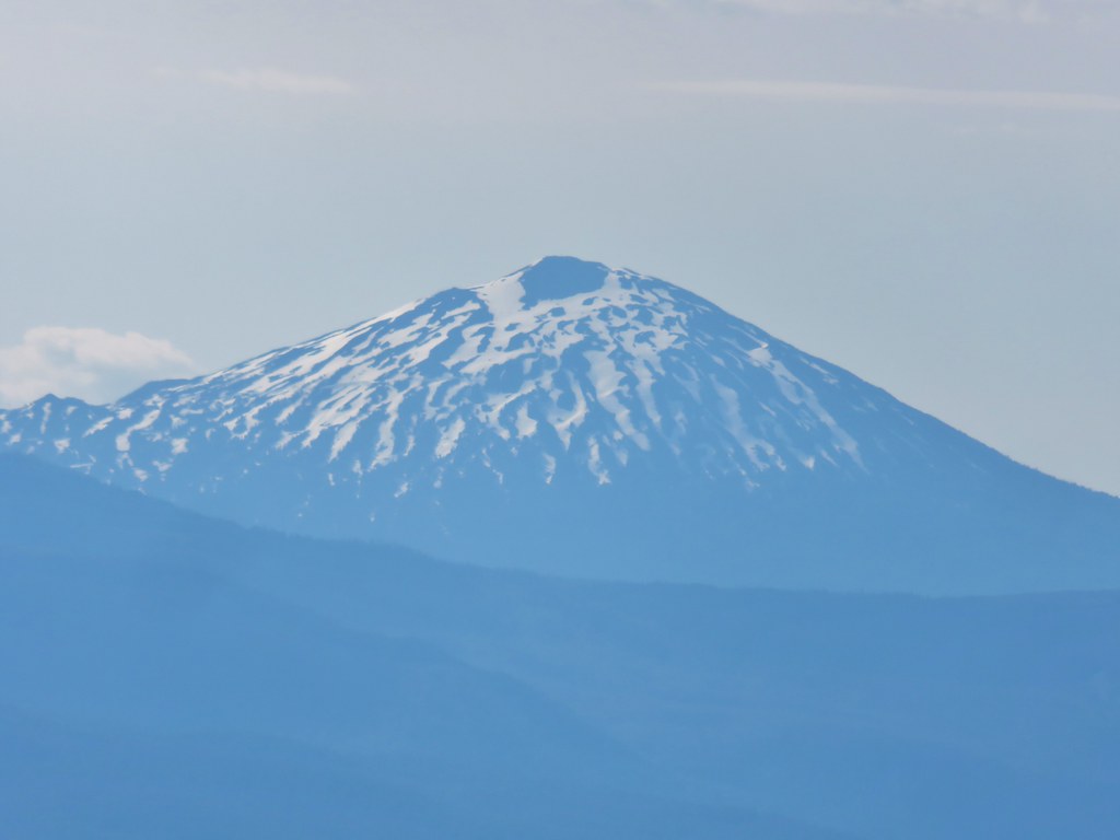 Mt. Bachelor
 Maiden Peak (
 Mt. Thielsen (
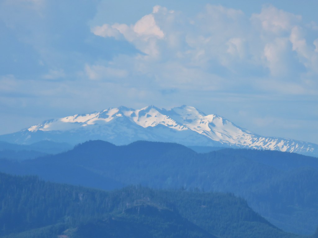 Diamond Peak
 Cat’s ear lilies
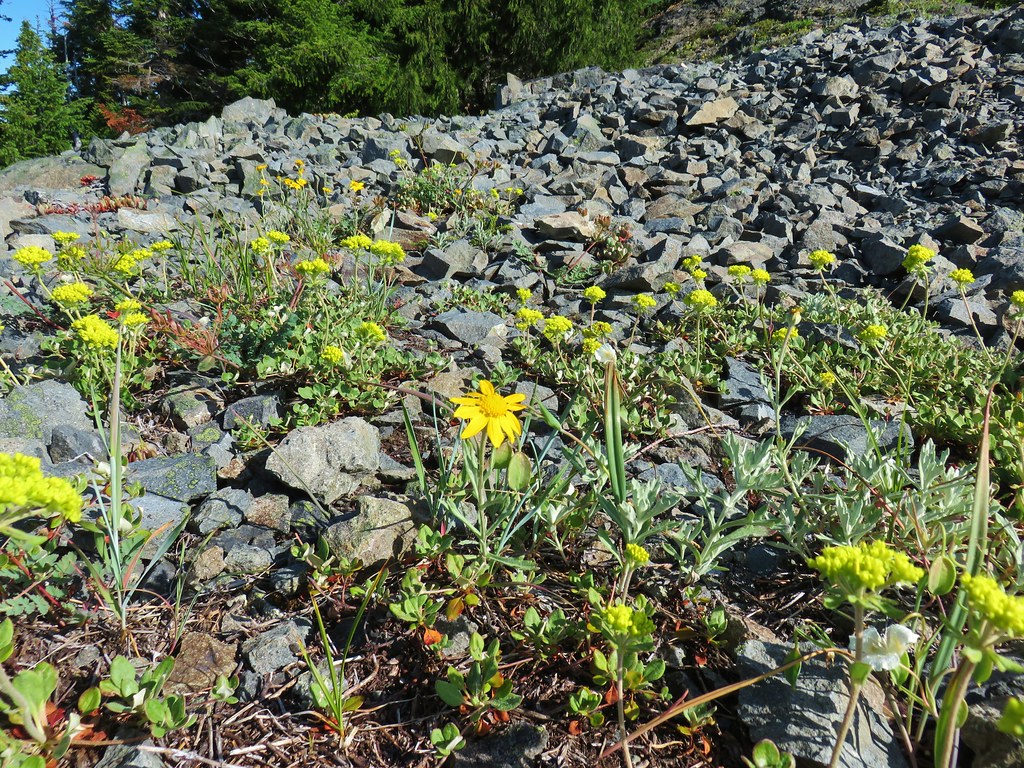 Oregon sunshine amid buckwheat
 Penstemon and paintbrush
 A fleabane or aster
 Looking down from the lower viewpoint.
 Western wallflower
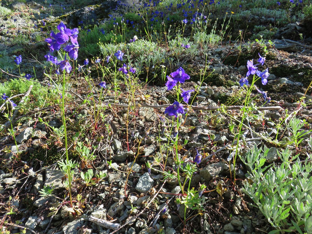 Larkspur
 Paintbrush
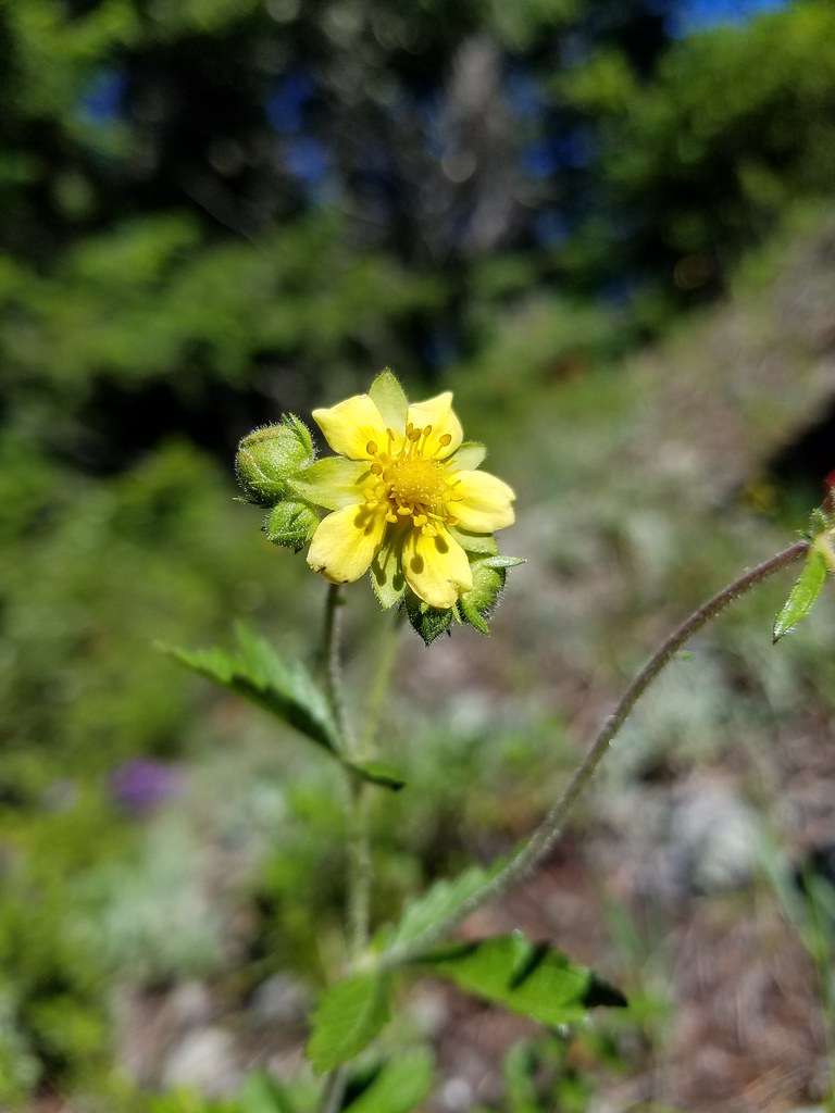 Cinquefoil
 Baneberry
 Current
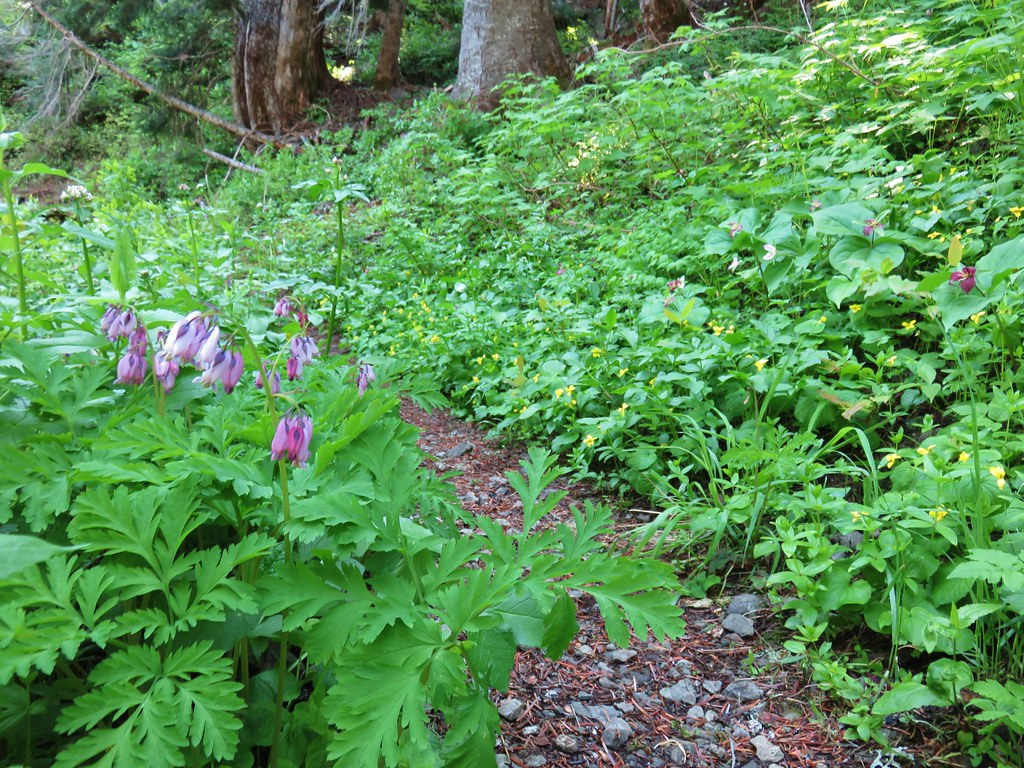 Bleeding heart, trillium and wood violets
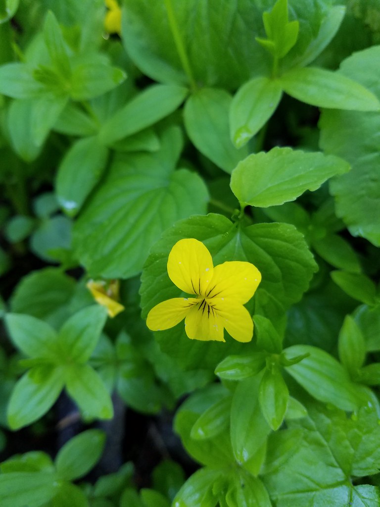 Wood violet


 North and Middle Sister


 Mt. Bachelor
 Showy phlox
 Washington lilies getting ready to bloom


 The Two Girls
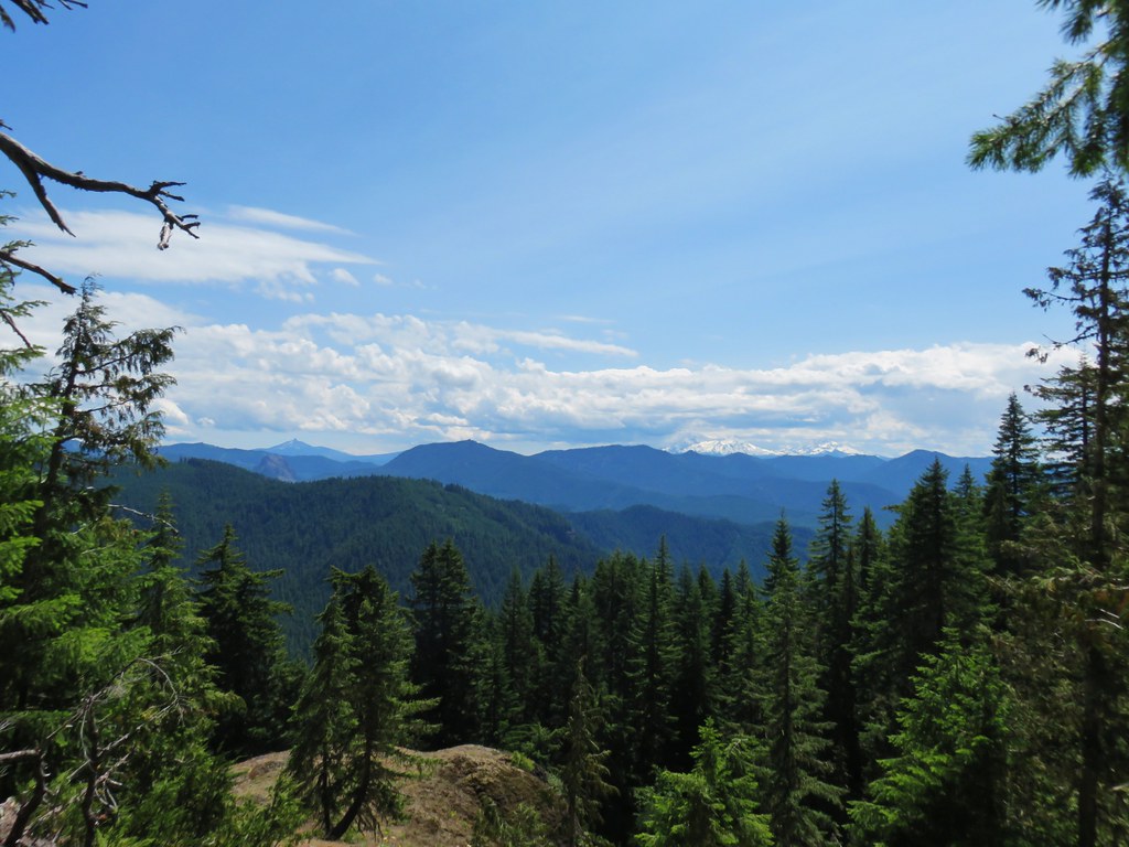 Mt. Washington and the Three Sisters
 Wolf Rock an Mt. Washington
 North Sister
 Middle Sister
 South Sister
 Mt. Jefferson had been overtaken by clouds but Iron Mountain and Cone Peak were still visible.
 Buckwheat and paintbrush
 Wallflower and cat’s ear lilies
 Penstemon and paintbrush
 Young tree growing out of an old trunk.
 Grouse
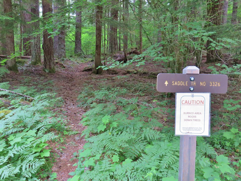


 Middle Sister
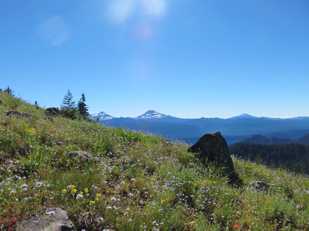 Three Sisters and Mt. Bachelor
 Diamond Peak
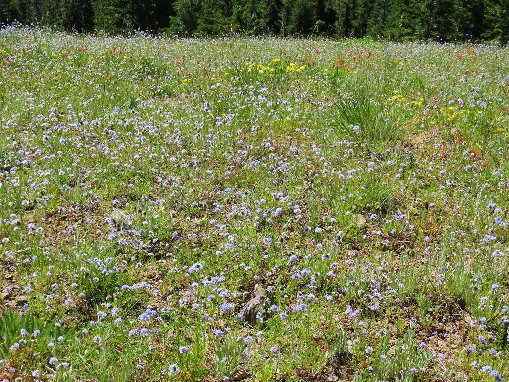
 Mt. Hood, Mt. Jefferson, Three Fingered Jack, and Mt. Washington.
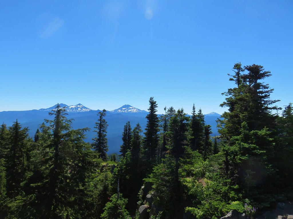
 Diamond Peak(Mt. Thielsen is out there too)
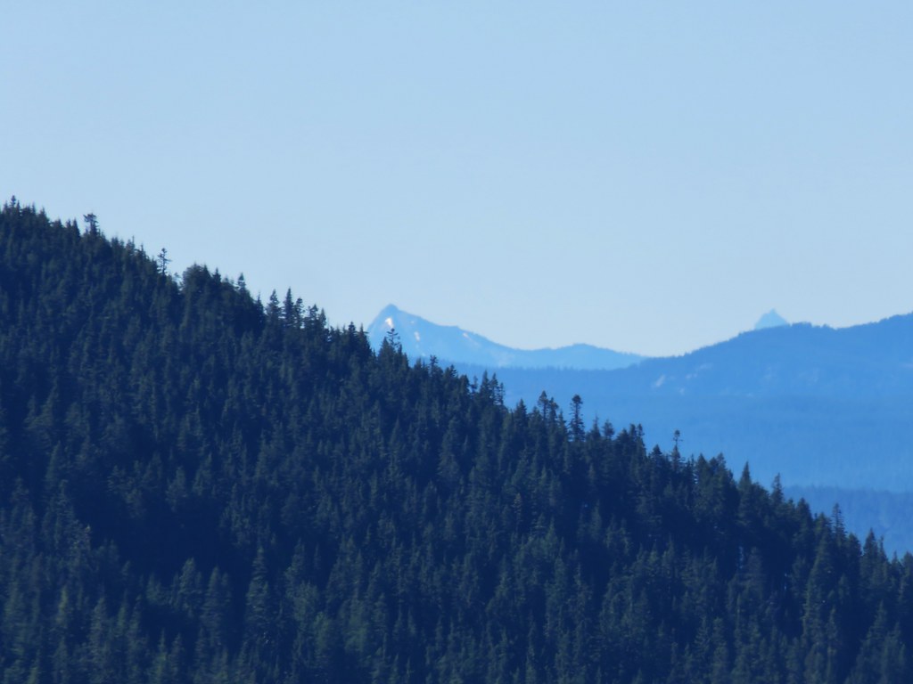 Cowhorn Mountain on the left and the tip of Mt. Thielsen to the right.
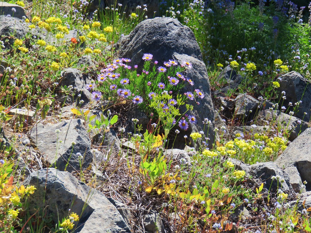


 Red flowering currant
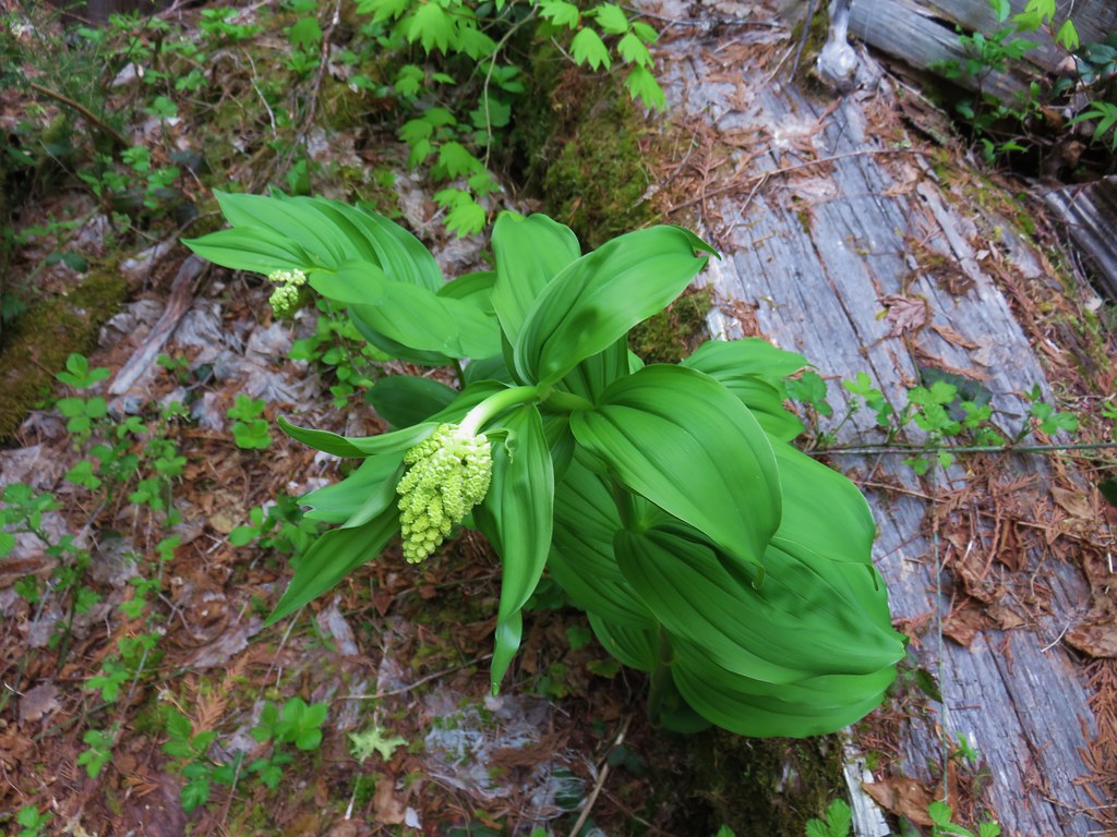 Large solomonseal
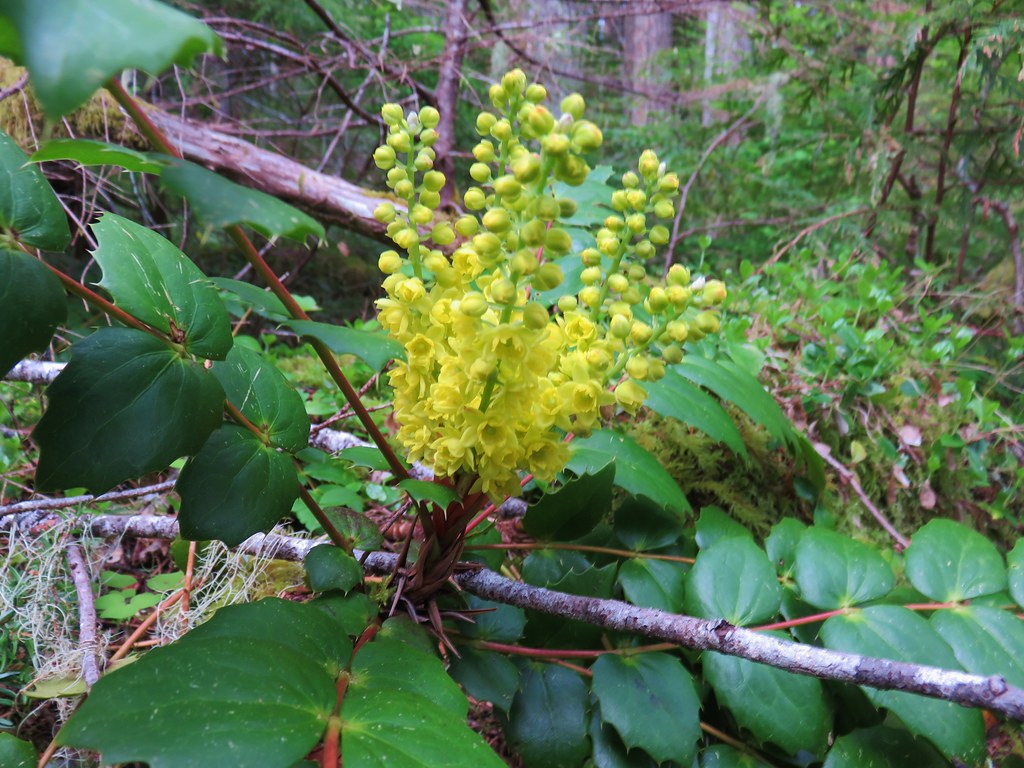 Oregon grape
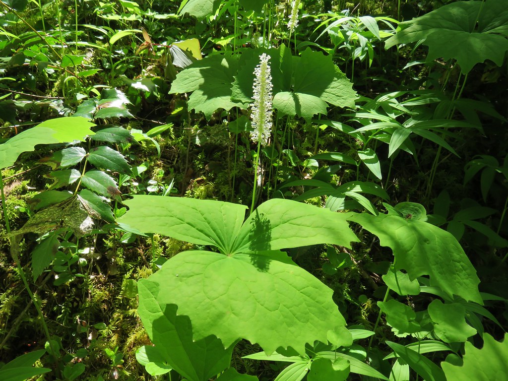 Vanilla leaf
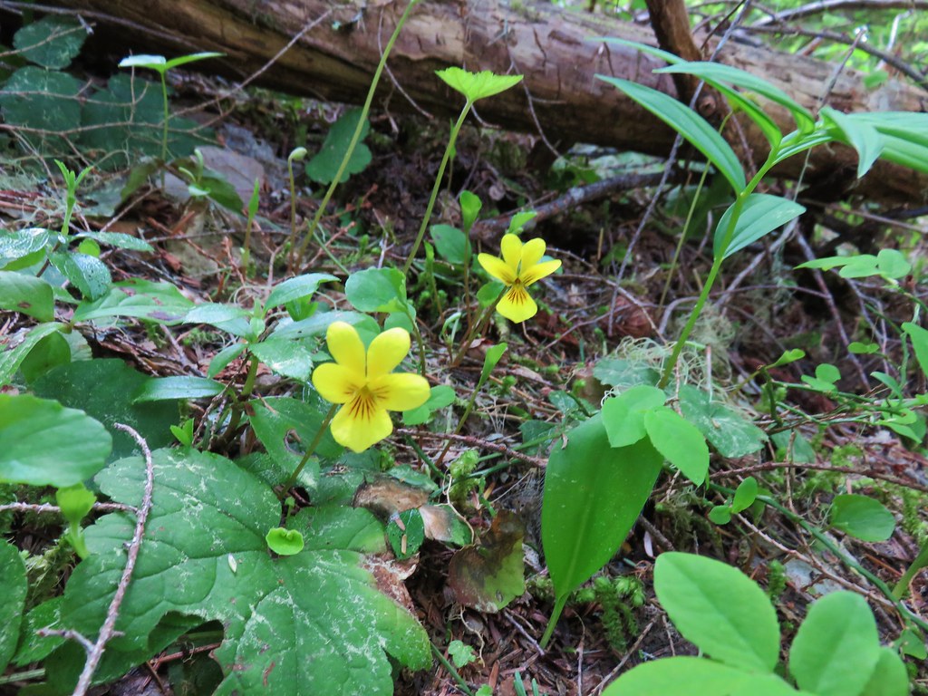 Violets
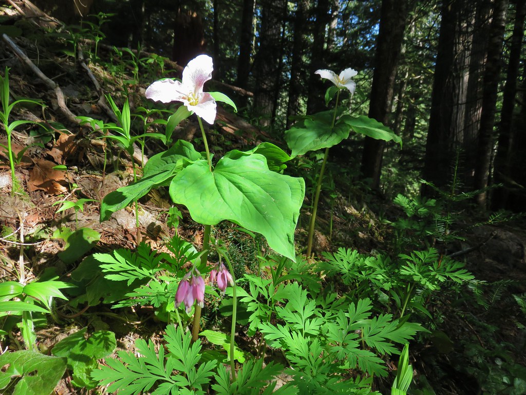 Trillium and bleeding heart
 Bunchberry
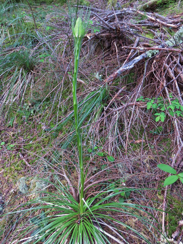
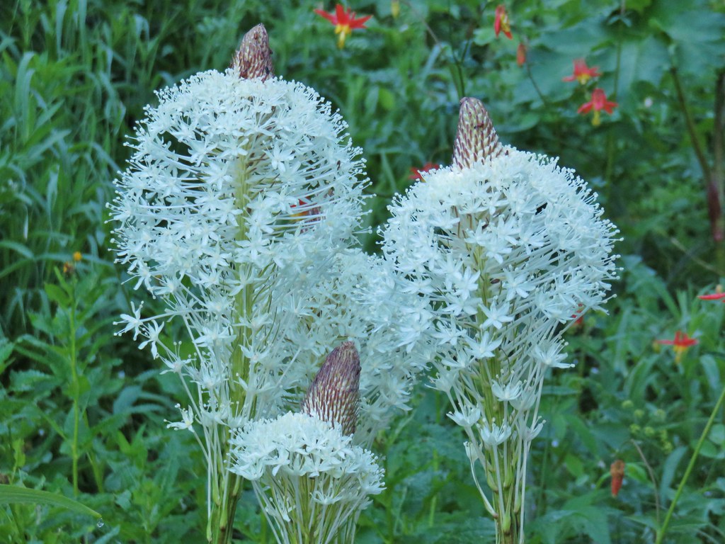
 Beargrass
 Crab spider on trillium
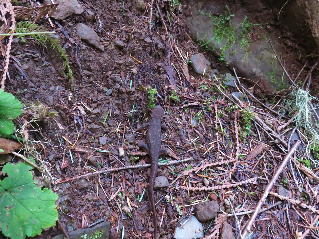 Rough-skinned newt
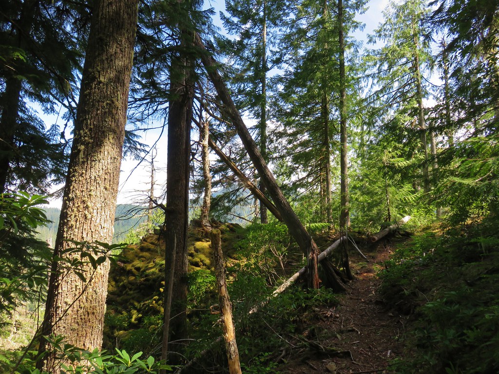


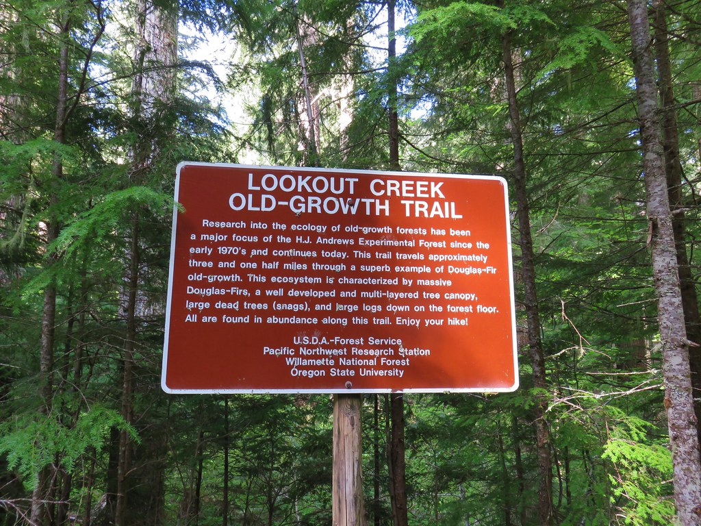
 Snow in the bushes along the Lookout Creek Trail


 Looking back down at the route up
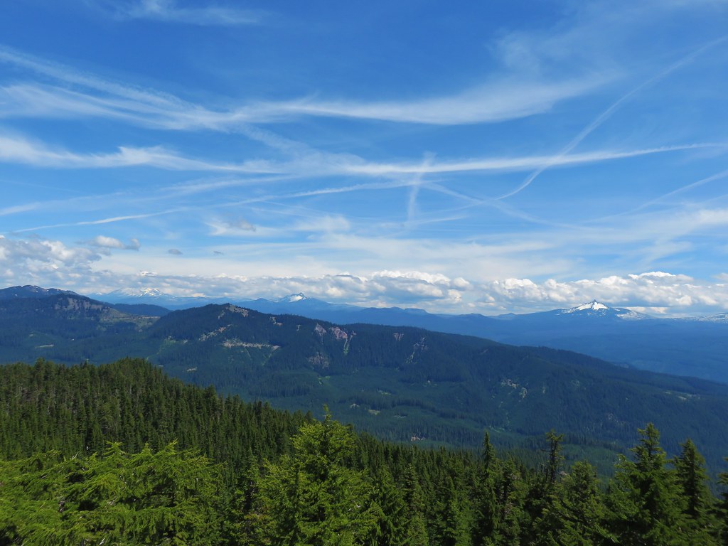 Mt. Jefferson, Three Fingered Jack and Mt. Washington
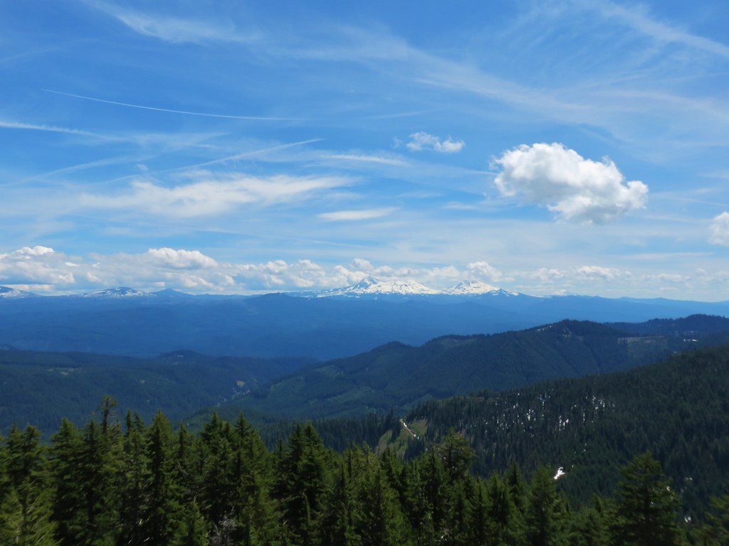
 Diamond Peak
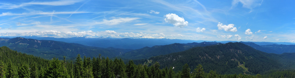 Panorama
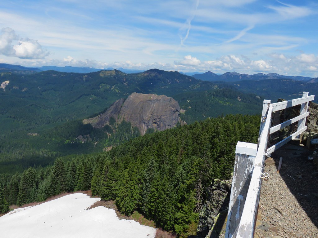

 Browder Ridge (
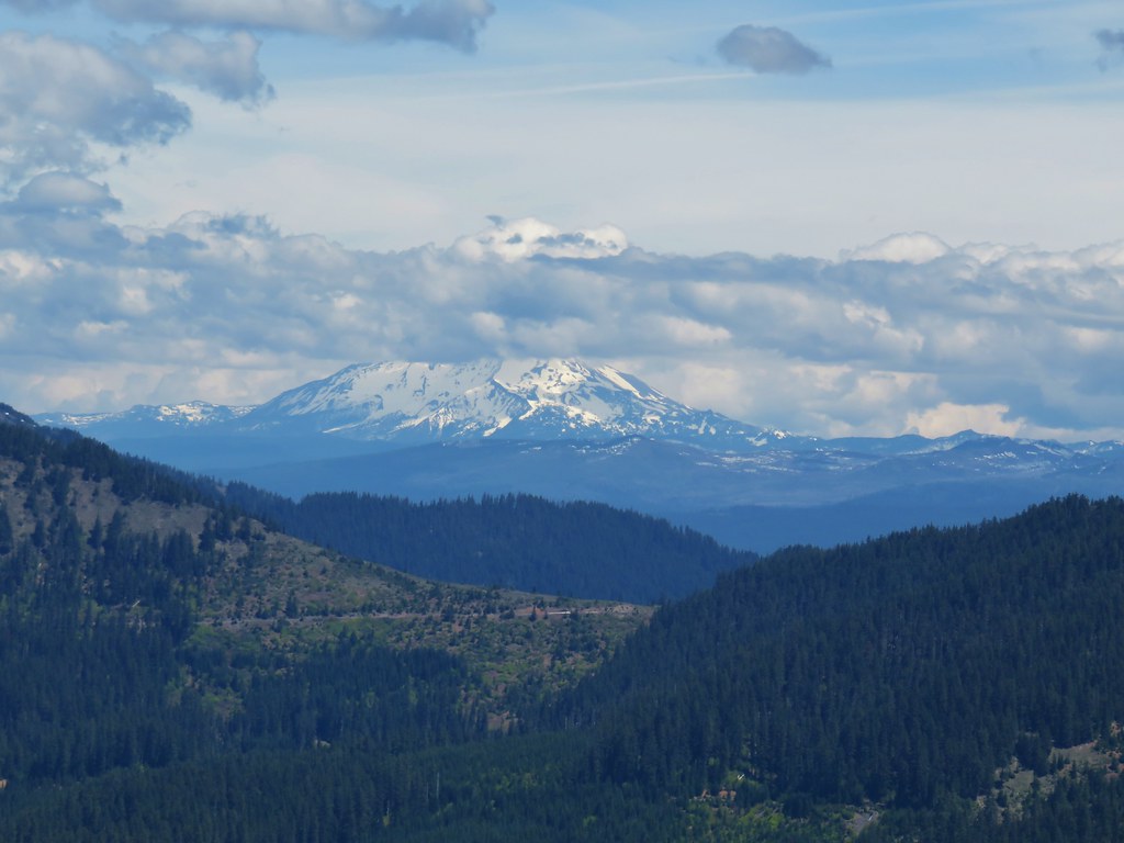 Mt. Jefferson
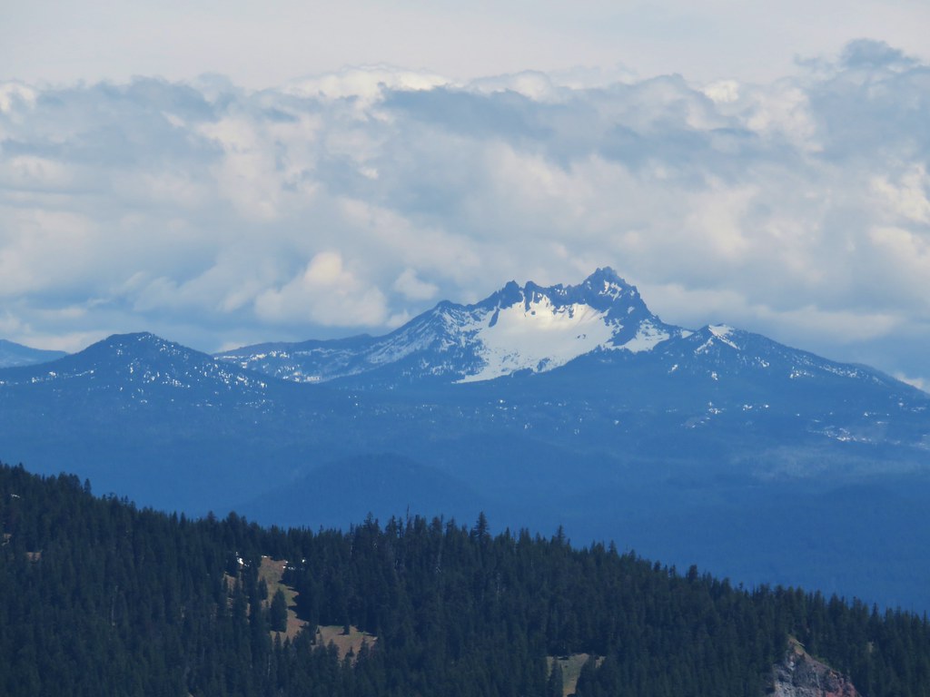 Maxwell Butte (
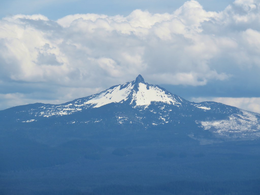 Mt. Washington
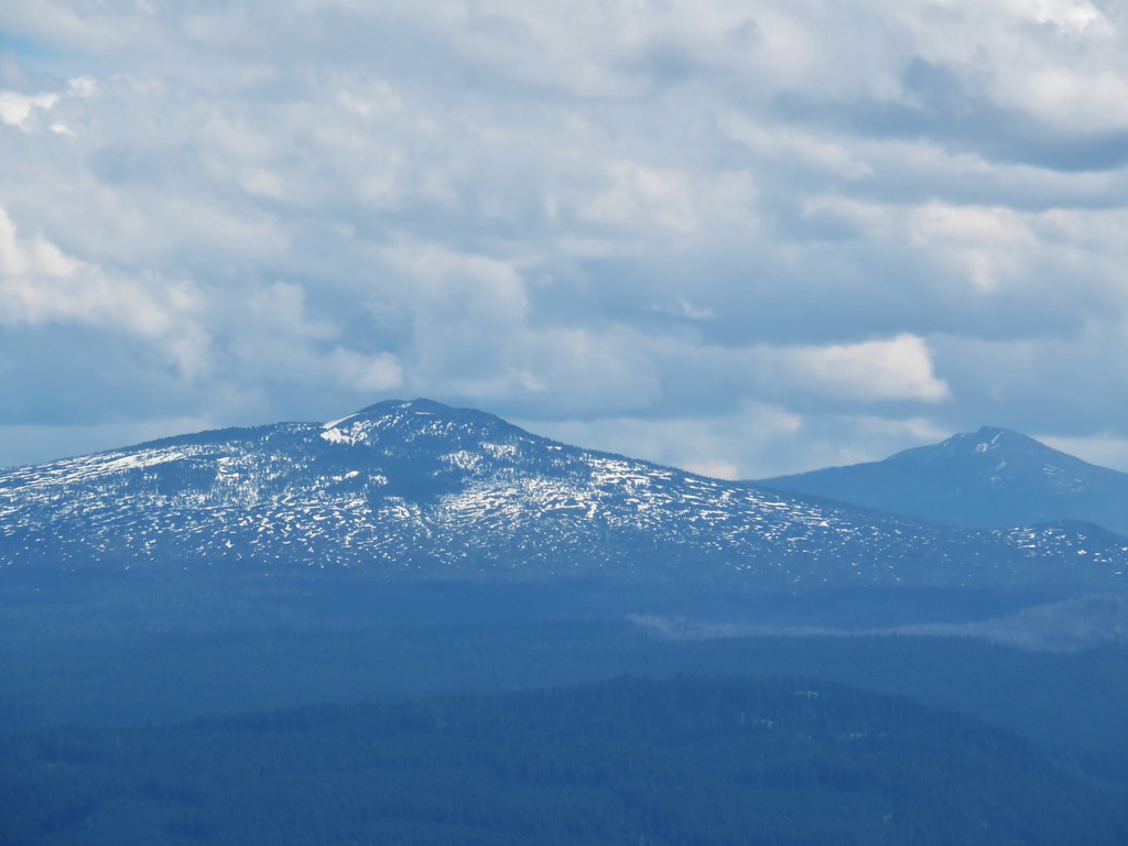 Belknap Crater (
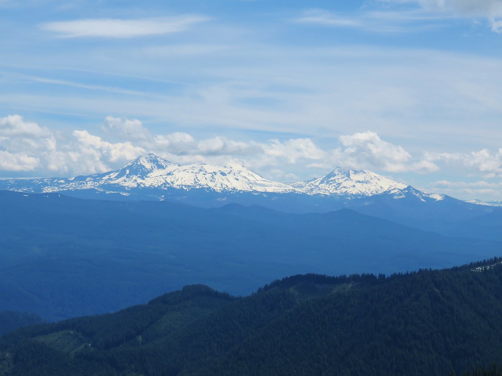 The Three Sisters and The Husband
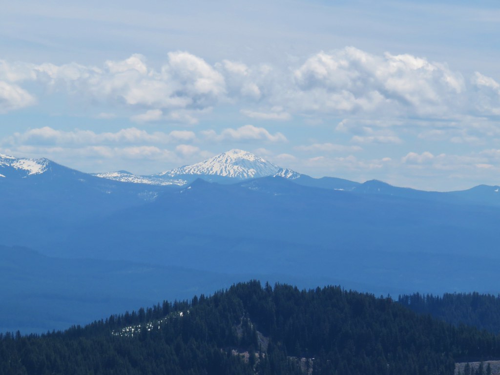 Mt. Bachelor
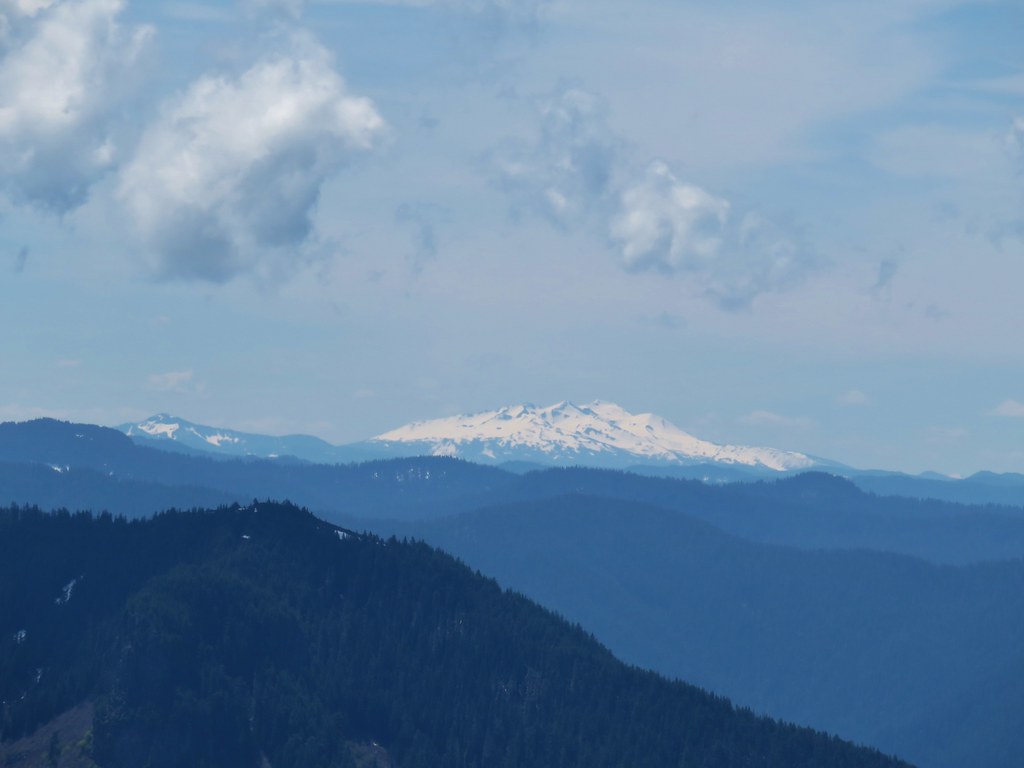 Fuji Mountain (
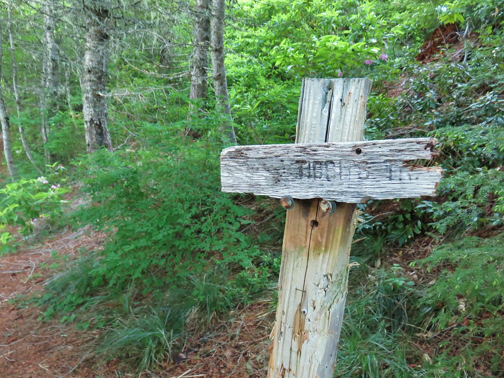
 Tidbits Mountain
 Mt. Jefferson and Three Fingered Jack
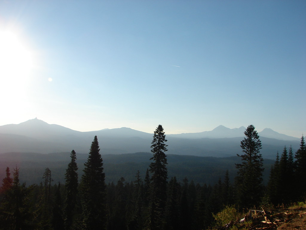 Mt. Washington and the Three Sisters