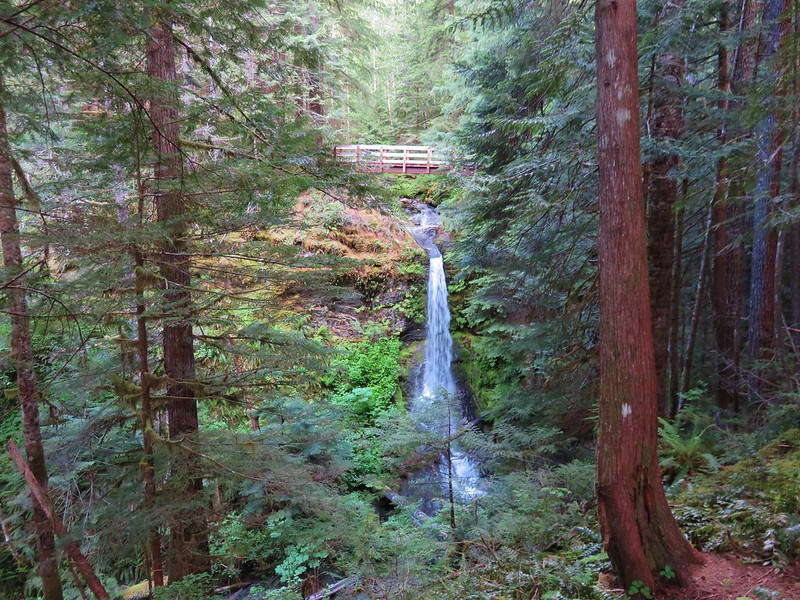
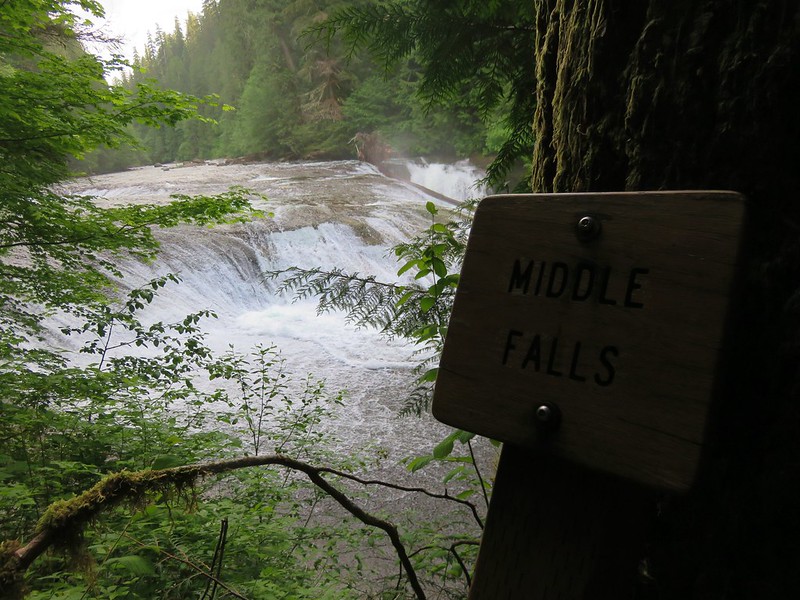
For the final day of hiking on our vacation we had two of Sullivan’s featured hikes on tap, Hells Canyon Reservoir and Hells Canyon Dam. We left our motel in Enterprise and drove the Hells Canyon Scenic Byway to Oxbow. Our first stop was at Copper Creek where a short hike would take us into the Hells Canyon Wilderness.
 The smoke that had moved in the day before was still around.
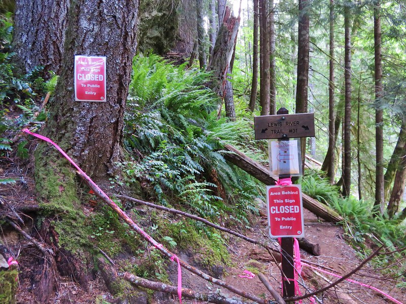
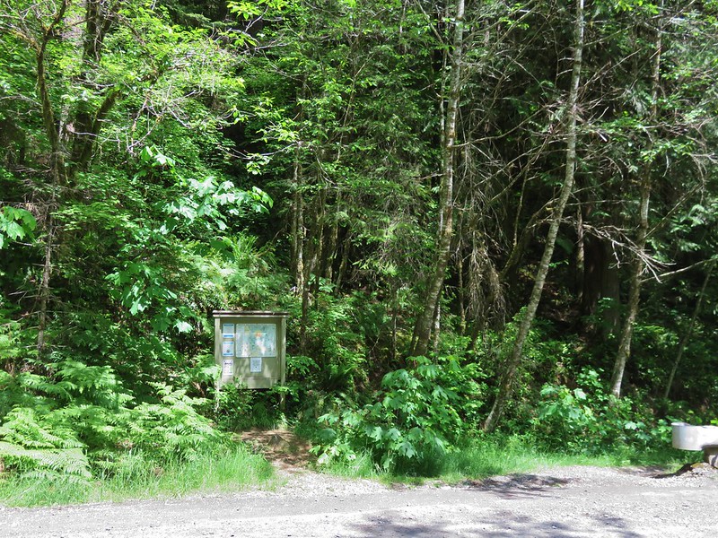
A small post directed us to the trail.

The next post read “Trail Not Maintained Hazards May Exist”

We weren’t sure what to expect, but we hoped it wouldn’t be another poison ivy filled hike like Wednesday’s hike at Eureka Bar (post) and that we would at least be able to make it to McGraw Creek which was 1.8 miles away.
 Toadflax
A short distance from the trailhead we entered a signed wilderness study area.

 Fleabane


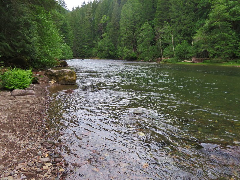
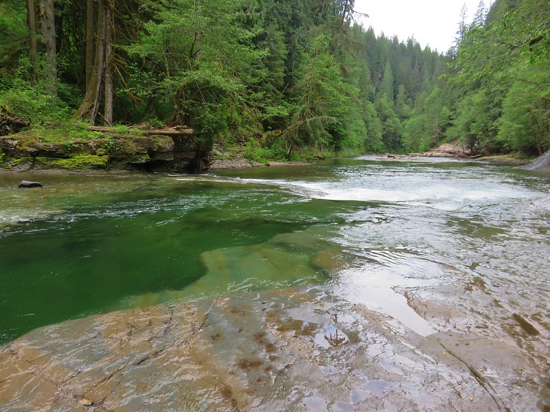
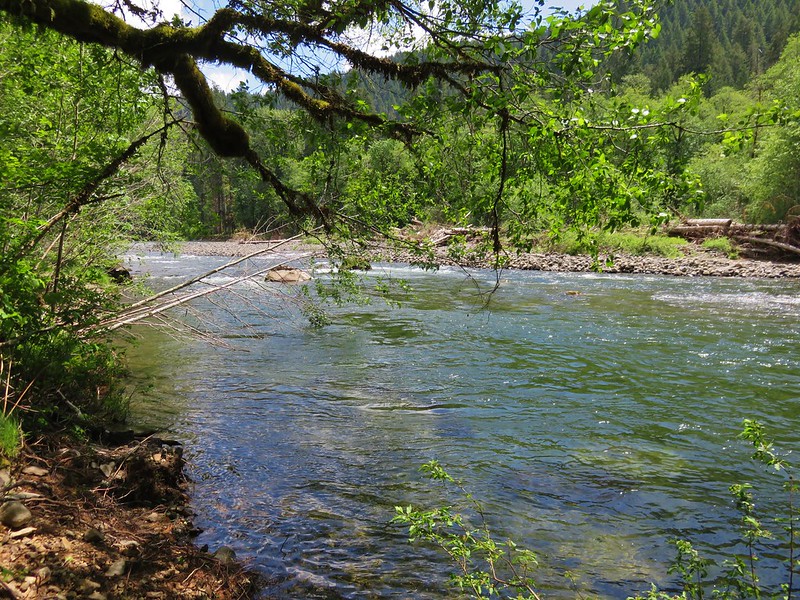
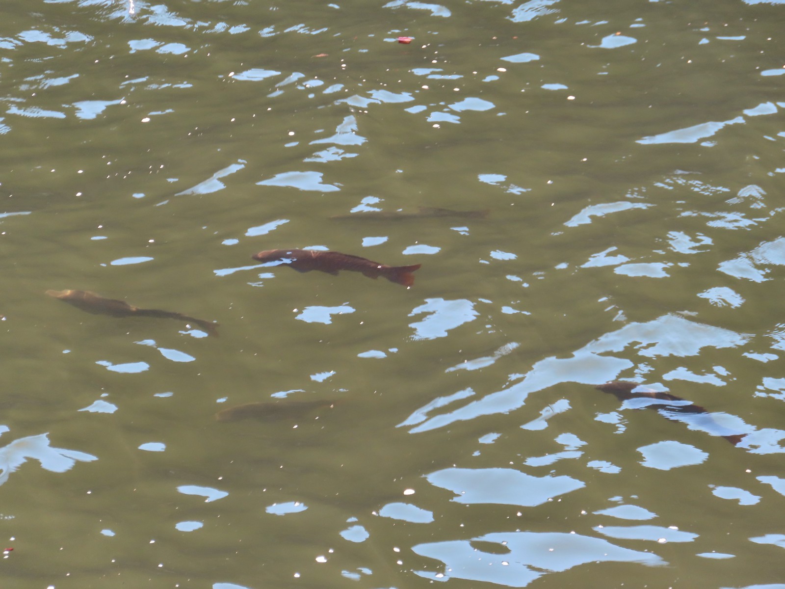
 There were lots of fish visible in the reservoir.
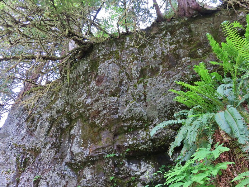
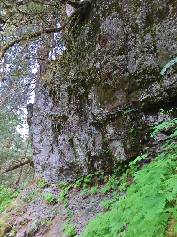
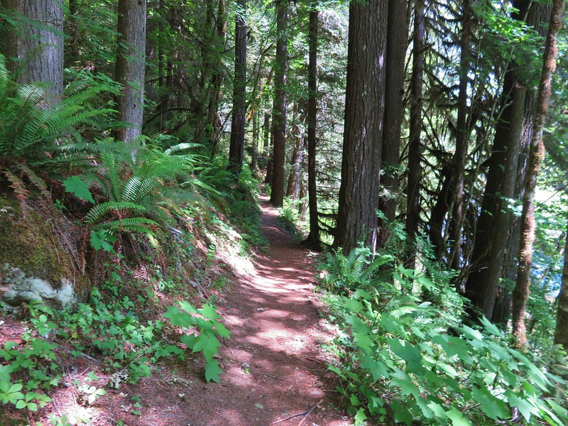
The tread on the trail wasn’t great but poison ivy wasn’t an issue which was nice.

 Penstemon
 Showy milkweed
After approximately three quarters of a mile we entered the Hells Canyon Wilderness.

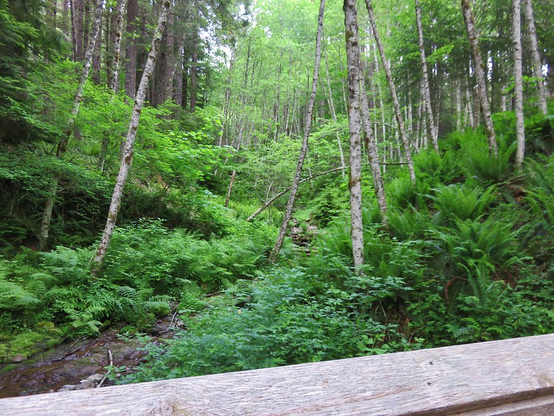
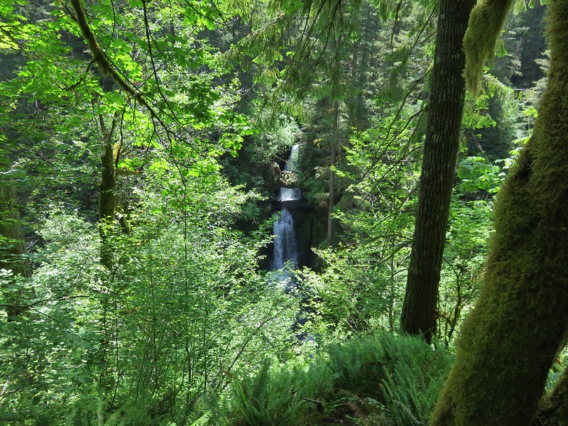
At the 0.9-mile mark we crossed Nelson Creek.
 Approaching Nelson Creek.
 Nelson Creek
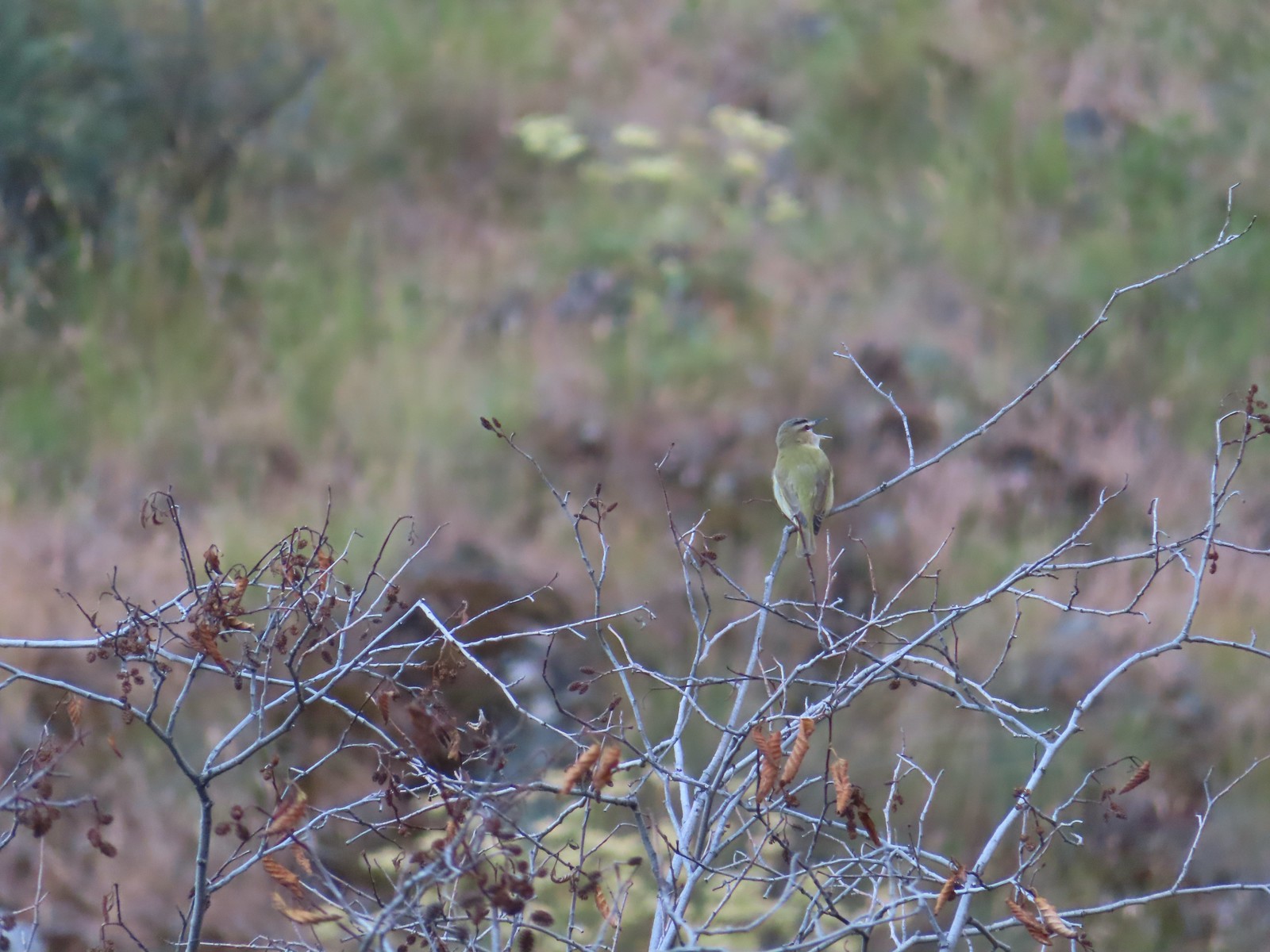 Red-eyed vireo
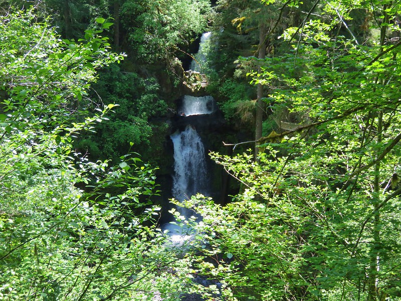
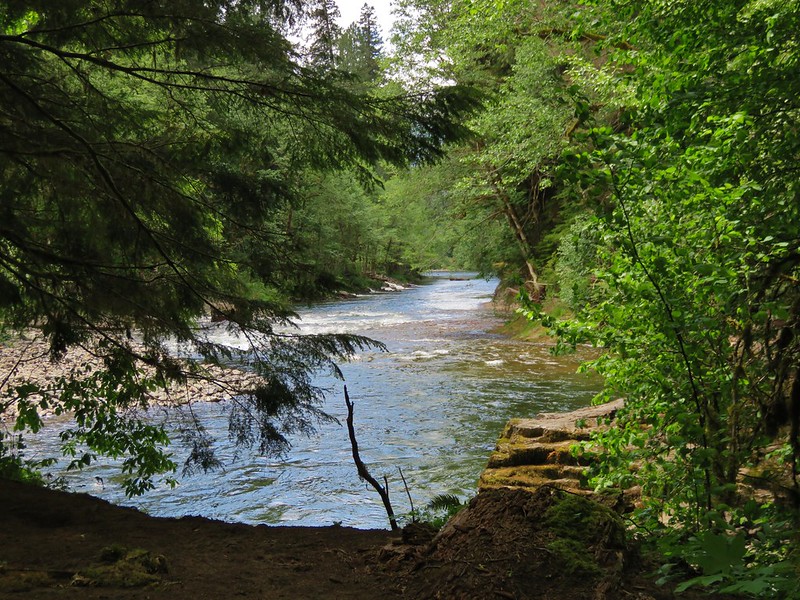
 Looking up Nelson Creek.
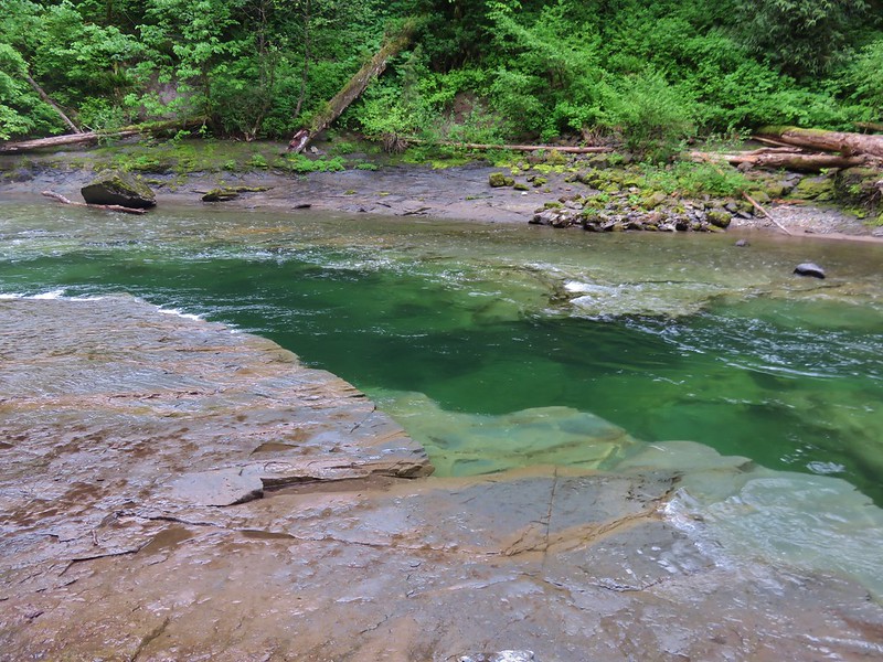
 More fish.

 Lazuli bunting
We made it to the outwash plain of McGraw Creek where the trail turned inland.

We made it another 100 yards before coming to a missing section of trail.

We weren’t comfortable with trying to continue. There was a faint path climbing uphill that might have taken us past the missing section but we didn’t feel the need to push it and turned around.
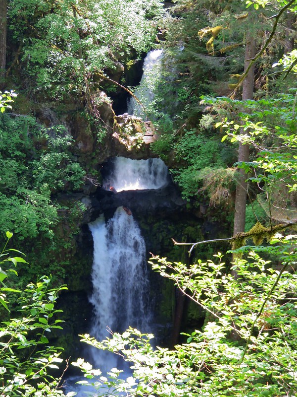
 McGraw Creek

 Lizard
 Common wood nymph
 Moth
Moth
 Cabbage whites
 Lorquin’s admiral
 Copper Creek Trailhead from the trail.
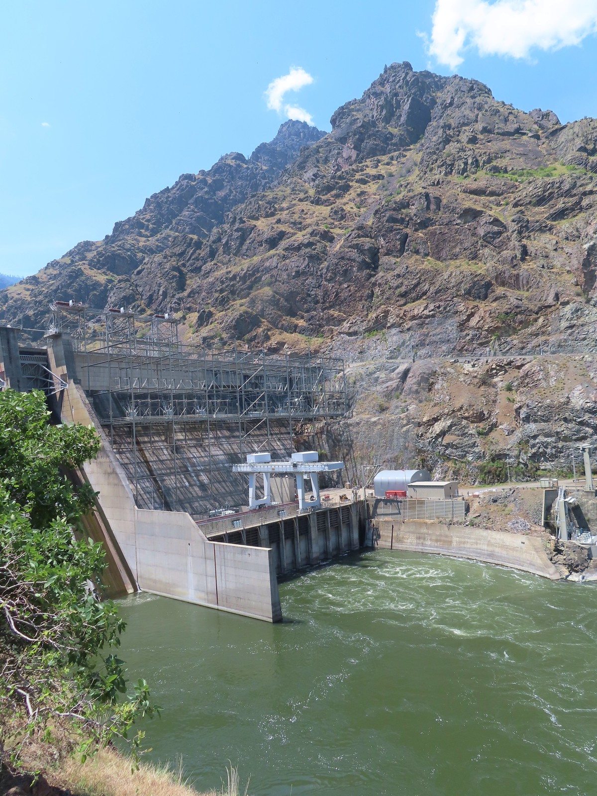
After completing our hike here we drove back to Oxbow and crossed the Snake River into Idaho and headed north to the Hells Canyon Dam. Sullivan’s featured hike here includes two separate options, a 2.4 mile hike to a beach just beyond Stud Creek on the Oregon side of the river and a shorter hike on the Idaho side on the Deep Creek Stairway Trail. This is the only featured hike located in the state of Idaho and we had planned to do this hike first, but the trailhead parking lot was busy with fishermen heading toward the trail. The trail consists of a series of metal stairs and catwalks leading down to the bottom of the dam near Deep Creek and we weren’t too keen on being in a crowd so we drove on across the dam to the Hells Canyon Creek Visitor Center.


The trail here starts near the boat ramp where an interpretive sign announces the former site of a prehistoric pit house.


 The start of the trail.
This trail was in better shape than the one along Hells Canyon Reservoir, but it was a wild mix of wooden stairs, rocky cliffs, and scenic viewpoints.

 Penstemon


 Western clematis
 We watched an osprey dive for a fish in the river.
 It pulled a small fish out of the water.

 Threadleaf phacelia
 Rafters that had set off from the dam.

 Ant in a sagebrush mariposa lily.
 Monkeyflower and heart-leaved bittercress
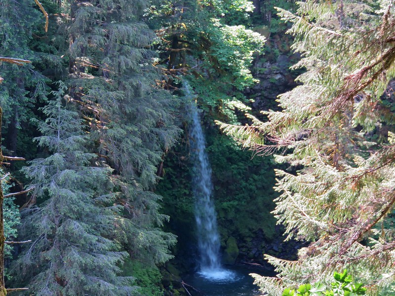
 View near Stud Creek.
We didn’t see any water in Stud Creek’s outwash plain but there were a number of differently colored mariposa lilies.


Our turnaround point was a white cobble beach where fish occasionally jumped.
 Cobble Beach near Stud Creek
 Jet boat passing by.
After a short break we returned to the visitor center which we checked out before driving back across the dam.

 Interpretive sign near the visitors center.
 Hells Canyon Creek
 View from the visitors center.
We were still hoping to stop a the Deep Creek Stairway Trail and as luck would have it all but one of the cars that had been at the trailhead when we drove by earlier were gone.
 The empty trailhead parking area.
A short road walk led us to the start of the trail.
 The structure on the right is an old fish trap.

 This was only our second hike in Idaho (Jump Creek Falls was the first), and the first in one of Idaho’s National Forests.
 The Payette National Forest manages this trail.
The trail began by heading briefly down a staircase and then climbing another set of stairs.


 Going up.
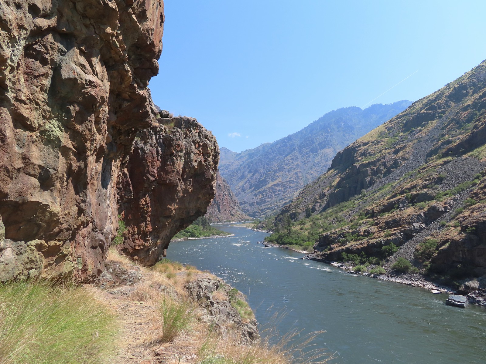
 Snake River from the trail.
 Going back down.
 There were a couple of dirt/rock sections, but the trail was mostly metal stairs and catwalks.
We passed the owner of the remaining car, Ahmed, heading up with a pair of good-sized fish.
 Ahmed’s fishing pole was still out, and you might notice a little red to the left of the structure ahead.
Heather decided not to go all the way down to Deep Creek but I wanted to see it so I followed the trail to its bank.
 There was a very short scramble to get up to the continuation of the trail above the structure along the creek.
 A few patches of snow in the Payette National Forest.
 Deep Creek
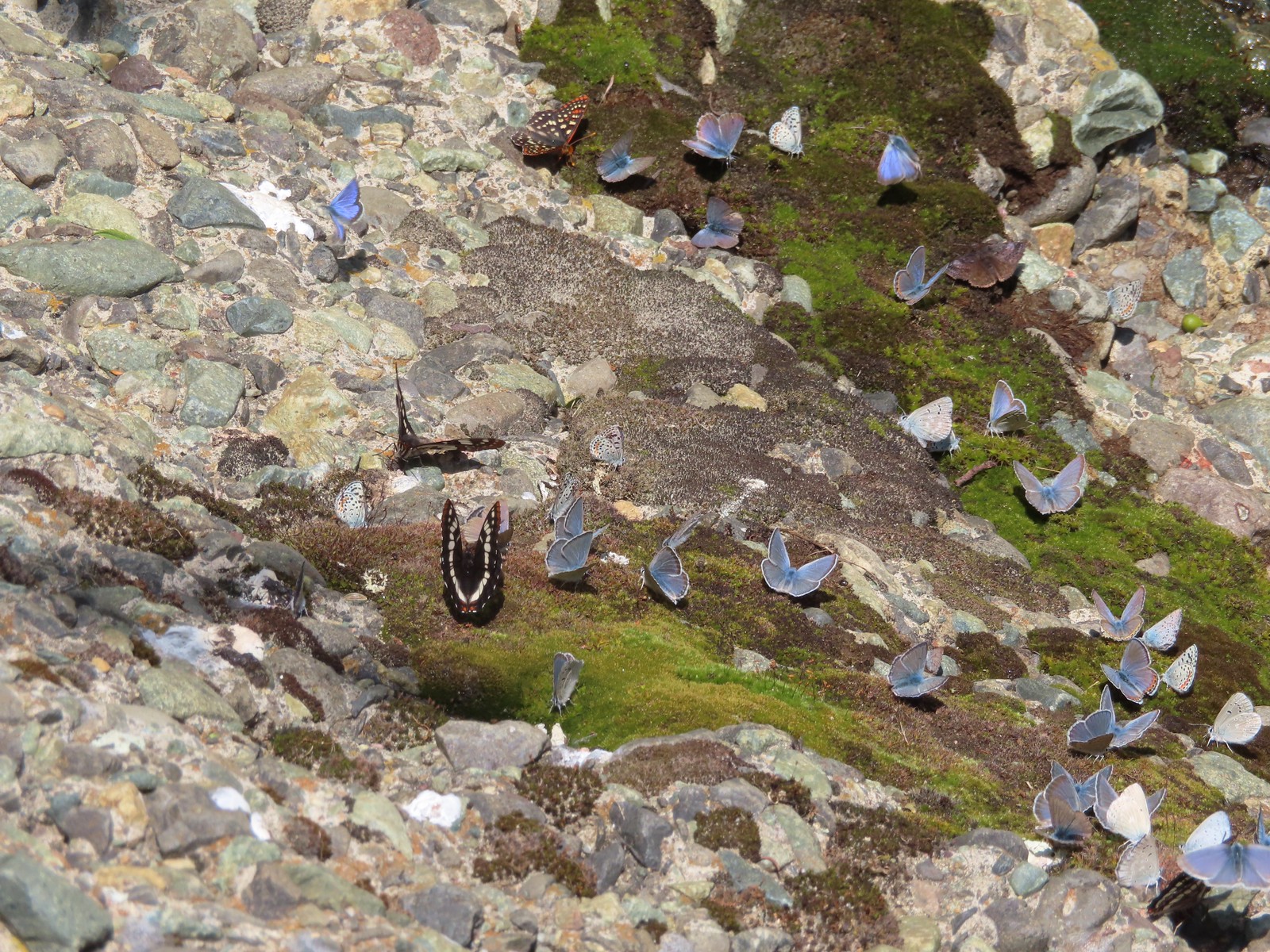
I was greeted at the creek by a rock covered with different butterflies.


It was a hot, tiring climb back up to the car where we changed, grabbed some drinks and snacks, and got ready to drive to Pendleton where we would spend the night before driving back home.

These three hikes came in at 3.7, 2.6, and 1.0 mile respectively. Hells Canyon Reservoir had over 500′ of elevation gain while the final two were under 200′ although the staircase felt like more.


We were thankful that poison ivy was a non-issue on these hikes. They were all enjoyable but given the rough condition of the Hells Canyon Reservoir Trail we wouldn’t recommend that one for kids or inexperienced hikers.
With the vacation hikes now over, we had made just a little progress on finishing 100 featured hikes from one of Sullivan’s Eastern Oregon guidebook editions (post). We had been at 79/100 heading into the vacation whith plans on completing six more but our decision to skip Dug Bar and change the edition that we were focused on meant adding five featured hikes that we hadn’t done and losing a couple that we had. Instead of sitting at 85/100 at the end of the vacation we are currently at 80/100. We’ve already worked the five new featured hikes into our plans over the next 18 months so we are still on track to be finished by the end of 2024. Happy Trails!
Flickr: Hells Canyon Reservoir and Dam