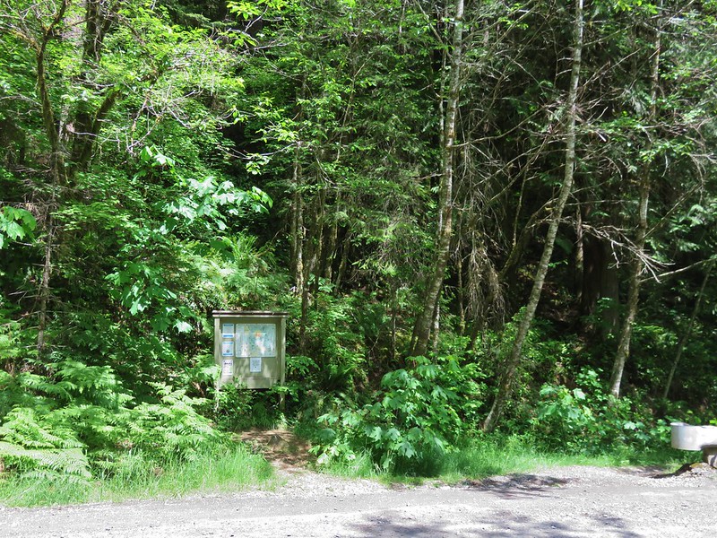
After spending the night in Baker City (post) we set off early for the Main Eagle Trailhead. Our goal for this trip was to check off three more of Sullivan’s featured hikes (post) Tombstone Lake, Eagle Lake, and Bear Lake.
When I was originally planning this backpacking route I had envisioned a grand loop with detours to several of the lakes. The loop option went out the window after reviewing the USFS interactive map. The Fake Creek Trail which we would have used to go between the West Eagle and Main Eagle Trails had been decommissioned and was no longer being maintained which was not something we wanted to attempt on a 5-day backpacking trip. There were also several other sections of the would be loop that hadn’t been maintained for a number of years. After considering a few different options we had settled on spending two night at Eagle Creek Meadows then hiking out and driving to the West Eagle Meadows Trailhead and spending two nights along the West Eagle Trail.
We arrived at the trailhead a little before 6:30am.

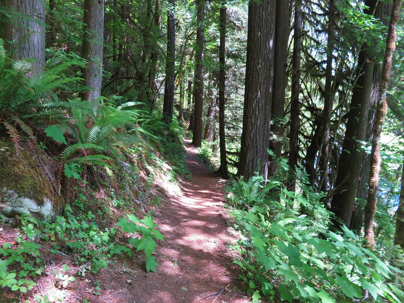
It was already over 50-degrees as we set off on the trail which quickly crossed Boulder Creek.
 The trail briefly followed an old roadbed.
 Log bridge over Boulder Creek.
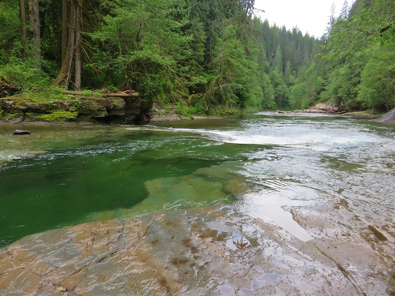
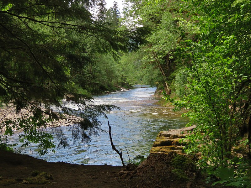
The trail climbed gradually crossing Eagle Creek on a larger bridge near the three-quarter mile mark.


The trail continued its gradual climb through the forest entering the Eagle Cap Wilderness at the 1.75-mile mark.

 Sierra larkspur
 Paintbrush lined trail
 We were in the shade for most of the morning.
 Entering the Eagle Cap Wilderness.
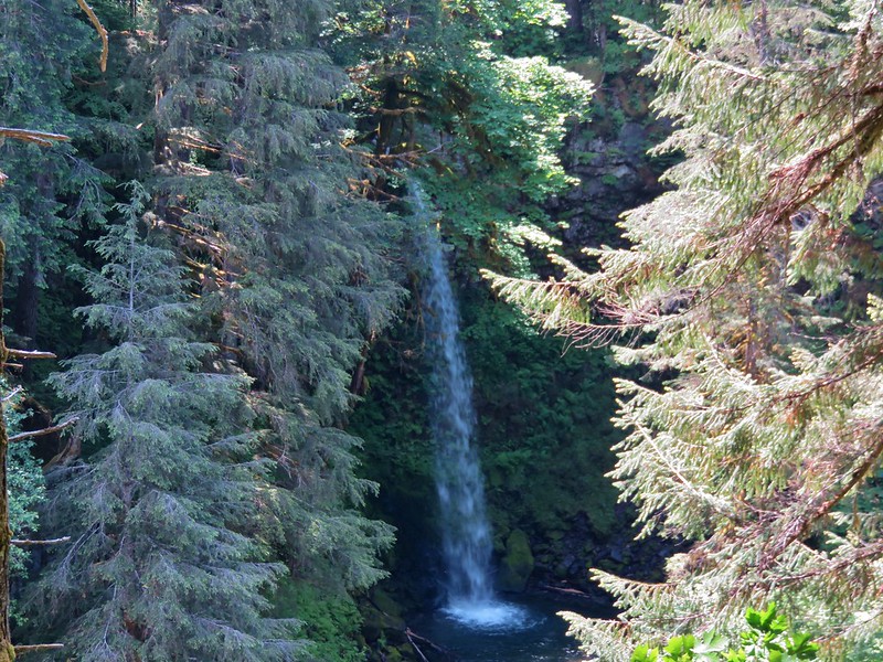
At the 2.2-mile mark the trail passed a small unnamed waterfall on Eagle Creek.
 We had to leave the trail to get a view of the falls which we could hear from the trail.

As we continued on the trail passed through increasingly large meadows full of views and wildflowers.

 Buckwheat and nettle-leaf giant hyssop
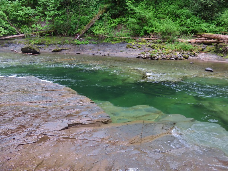
 At the 2.7-mile mark the trail again crossed Eagle Creek, this time on a damaged footbridge.
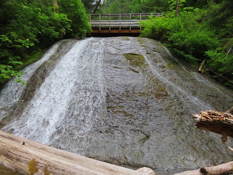
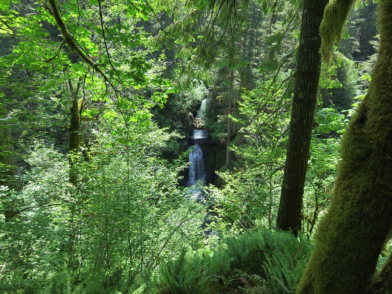
Three miles in we crossed Copper Creek. We could hear the roar of Copper Creek Falls further up the creek.

 Part of the falls were visible from the trail.
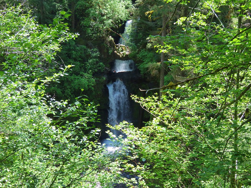
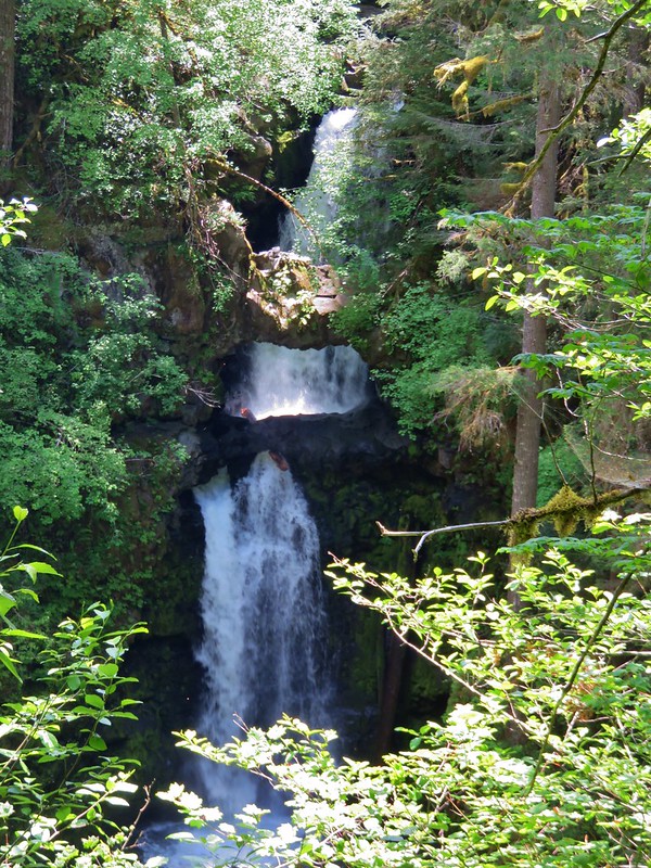
A tenth of a mile beyond the crossing of Copper Creek we detoured uphill to visit the falls.
 Copper Creek Falls
We took a break at the falls amid a number of wildflowers.
 Penstemon
 Fringed grass of parnassus and some fading arnica.
 Flowers below the falls.
After our break we returned to the trail and continued on. A quarter mile later we arrived at a junction with the Bench Trail. The current version of our plan included hiking up the Bench Trail to Arrow Lake the next day but as we passed the junction and saw the condition of the lowest portion and “Trail Not Maintained” sign we began to question that plan.
 The Bench Trail is ahead on the left of the Main Eagle Trail.

We continued another 1.4-miles to another trail junction above Eagle Creek Meadow.
 View up the valley.
 Looking back at the hillside the Bench Trail climbs to Heart and Arrow Lakes.
 Looking across the valley.
 There was quite a bit of western snakeroot along the trail.
 Scarlet gilia
 Hummingbird Mountain

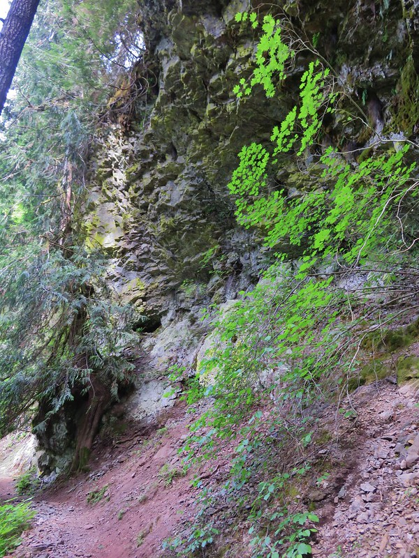
 Granite hillside and peaks above the trail.
 Trail signs at the Lookingglass Lake/Main Eagle Trail junction.
At the junction we forked right onto the Lookingglass Lake Trail and followed it downhill into Eagle Creek Meadow. At the far side of the meadow we located an established campsite not far from Eagle Creek.

 Needle Point on the left from Eagle Creek Meadow.
 Hummingbird Mountain from the campsite.
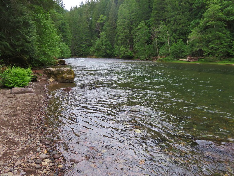
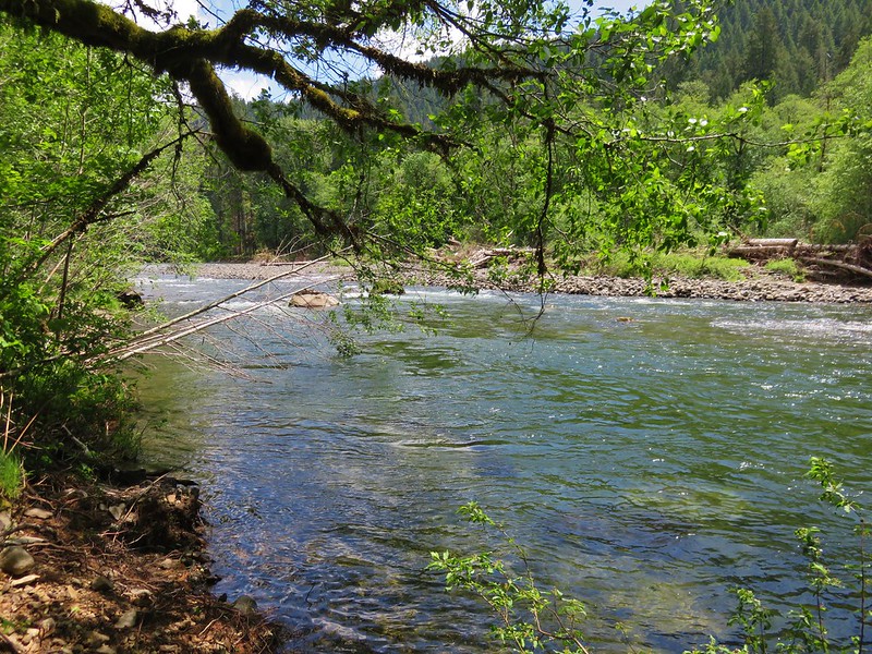
 Eagle Creek near camp.
 Lewis monkeyflower
After setting up camp and another short break we set off for Eagle Lake by returning to the Main Eagle Trail and continuing uphill.


 Columbian ground squirrel
 Pearly everlasting and Scouler’s St. John’s wort.
 White mariposa lilies
 White mariposa lilies
 Orange agoseris
 Beetle on a white mariposa lily
 Hillside along the trail.

 Butterfly (Boisduval’s blue?) on pearly everlasting.
 Monkshood
 Heading toward Needle Point.
As the trail neared Needle Point it made a series of switchbacks to a junction with the Eagle Lake Trail.
 One of the switchbacks.
 This junction was just under 2-miles from the Lookingglass Lake Trail junction.
The Main Eagle Trail forked left toward Cache Lake. We went right on the Eagle Lake Trail following it another mile uphill to Eagle Lake.

 Wildflowers along the trail.
 Looking back down the valley.
 Hawk
Hawk
 Fireweed along the trail.
 Shrubby cinquefoil and paintbrush
 Wildfire smoke creating a slight haze of the valley.
 Granite near Eagle Lake.
 Eagle Lake
 Eagle Creek flowing below the dam at Eagle Lake.
We were hoping to find a nice shaded spot at the lake to take an extended break but trees were scarce and so was the shade. The lake however was beautiful.


 Paintbrush
We did manage to find a couple of trees that cast enough shadow to provide a little relief from the heat as long as we occasionally moved our seats to follow the shade. Another pair of hikers arrived while we were resting. They were hoping to bushwack to the far end of the lake and catch the Perseid meteor shower that night.
We wound up staying at the lake for roughly three and a half hours. During that time Heather decided that she would not be attempting the hike to Arrow Lake the next day and would only be going up to Bear Lake with me in the morning. Bear Lake was just 1.5 miles from (and 1000′ above) our campsite. I was still planning to attempt the hike to Arrow Lake after visiting Bear Lake, but I was starting to seriously doubt that I’d actually make it up to that lake.
 While sitting in the shade we spotted a herd of elk on the hillside across the valley.
 Blurry photos due to the distance but it was fun to watch them.

We had brought our dinner with us and after eating that and replenishing our water supply we headed back down to camp. It was a little after 5pm when we started back and it was still uncomfortably warm. Fortunately the Sun was low enough that part of the return was in shadows which provided some relief.

 Golden-mantled ground squirrel
 Shade!
 American saw-wort
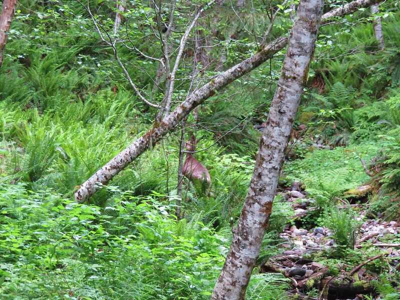
 Fawns
Fawns
 Our campsite in the trees from the Main Eagle Trail.
As we neared the junction with the Lookingglass Lake Trail we spotted a few tents around a rather large campfire at the south end of the meadow. While technically not banned at that moment in the Wallowa-Whitman National Forest it seemed a completely unnecessary risk to have a campfire given the high fire danger combined with the unusually warm temperatures.
We turned in for night having hiked a total of 11.4 miles an gaining a total of 2700′ of elevation. It had been a challenging but beautiful start to our trip. Happy Trails!

Flickr: Eagle Lake