After delaying the start of our planned backpack to Hidden Lake by a day (post) due to a Fire Weather Warning we had a two-day window of sunny, but smokey, weather before the next chance of thunderstorms was forecast to roll in. That was all the time we needed though to allow us to finish the 100th featured hike from William L. Sullivan’s “100 Hikes Eastern Oregon” (2022 1st edition).
It would also mark the culmination of our goal of hiking at least a portion of all 100 featured hikes from a single edition of each of the five areas Sullivan splits his guidebooks into: Eastern Oregon, Central Oregon Cascades, Oregon Coast & Coast Range, Northwest Oregon & Southwest Washington, and Southern Oregon & Northern California (post). We set our sights on that goal way back in 2016, but we started using Sullivan’s guidebooks six years earlier. We will be covering completing the Eastern Oregon book and completing our goal in separate posts later, but first we needed to hike the East Eagle Trail.
Our plan was to begin at the East Eagle Trailhead and follow the East Eagle Trail to the Hidden Lake Trail (approx. 7 miles) where we would look for a campsite not far after crossing East Fork Eagle Creek. We had been told that there was a spot or two there by a fellow hiker we’d run into during our Maxwell Lake hike in August (post). While camping at the lake sounded nice climbing 1000′ in 1.4 miles with full packs on didn’t.
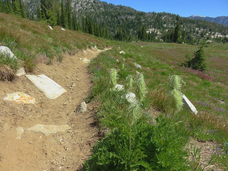
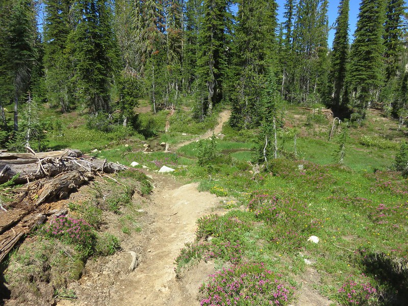
We arrived at the trailhead to find a few cars parked along the turnaround loop. After filling out a free wilderness permit we followed a pointer for the East Eagle Trail.

 The first 0.2-miles followed a rough spur road.
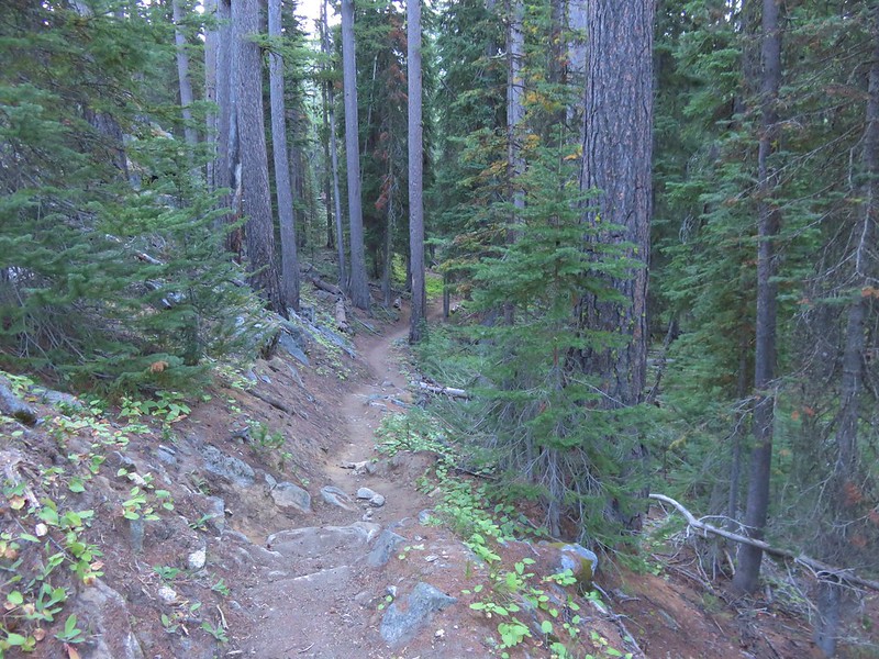
 The trail starting at the 0.2-mile mark.
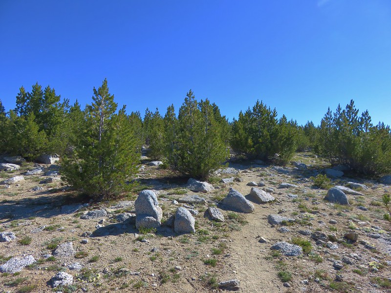
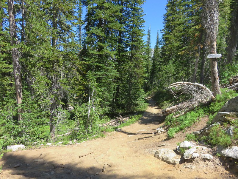
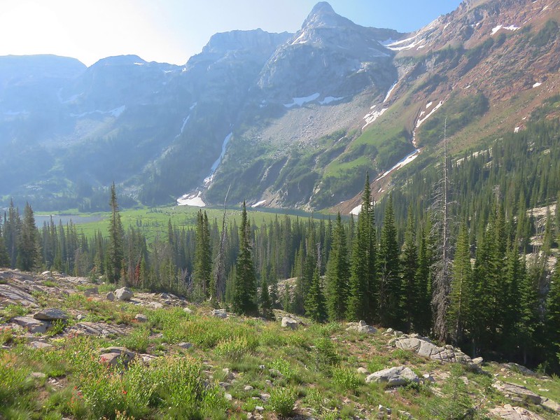
The trail quickly entered the Eagle Cap Wilderness as it gradually climbed, with a few short downhills, along East Fork Eagle Creek.


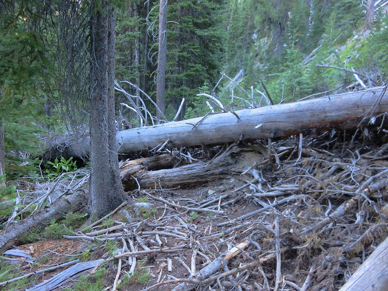
It was evident that Winter avalanches are common in this valley based on the amount of downed and damaged trees. Despite that the trail was in pretty good condition although there were a few obstacles to detour around.

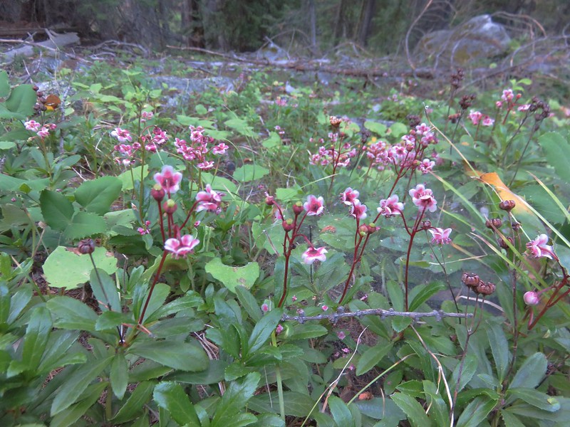
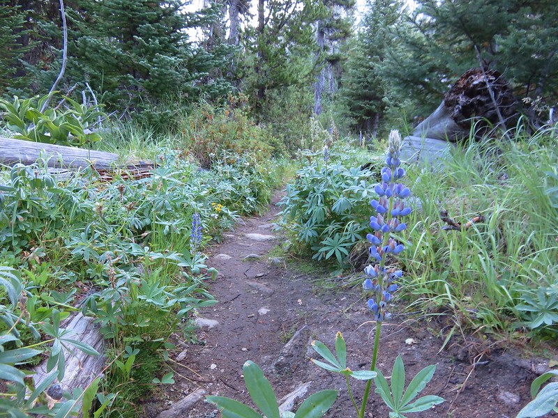
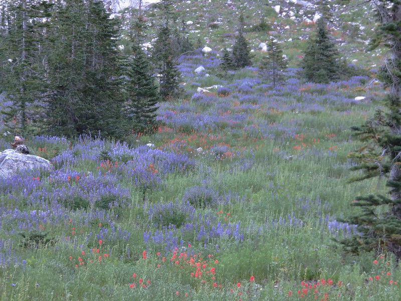
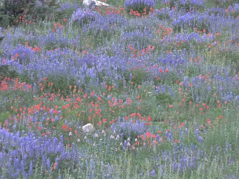
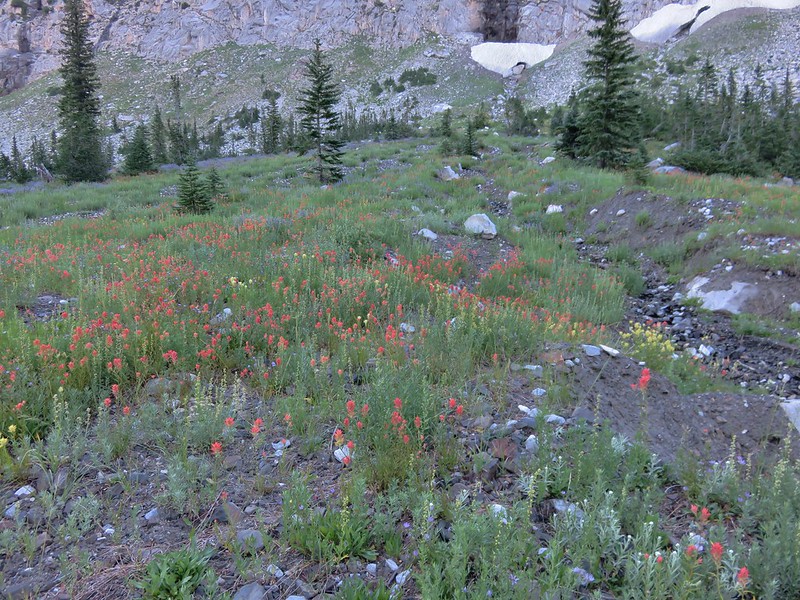
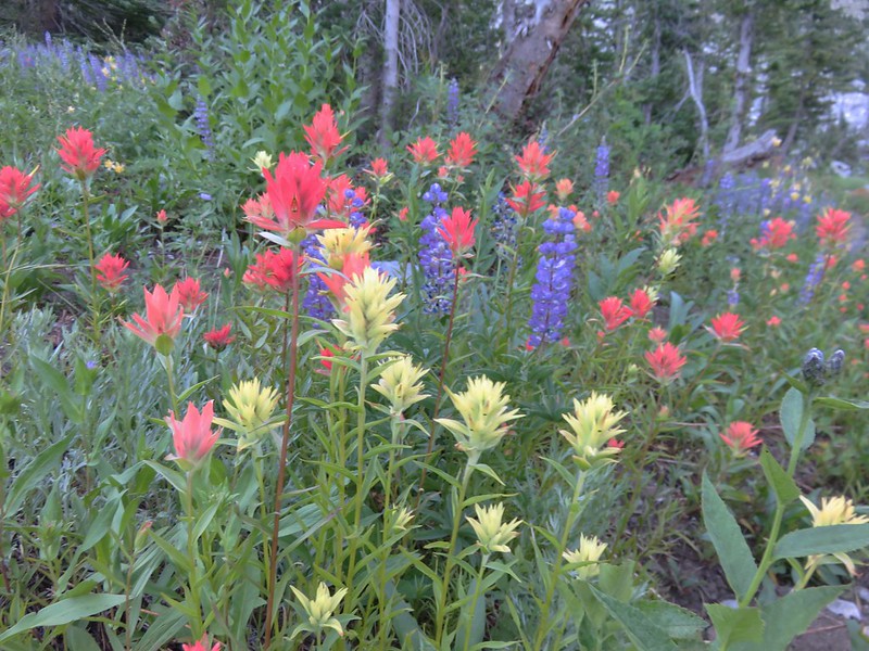
There were still a few flowers blooming along the way.
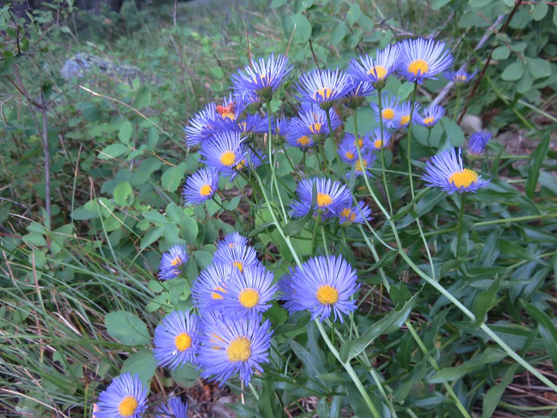
 An aster or fleabane
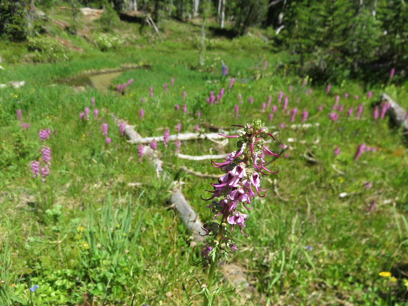
 Nettle-leaf giant hyssop

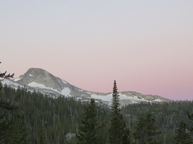
 Haze from wildfires burning in the Pacific Northwest.


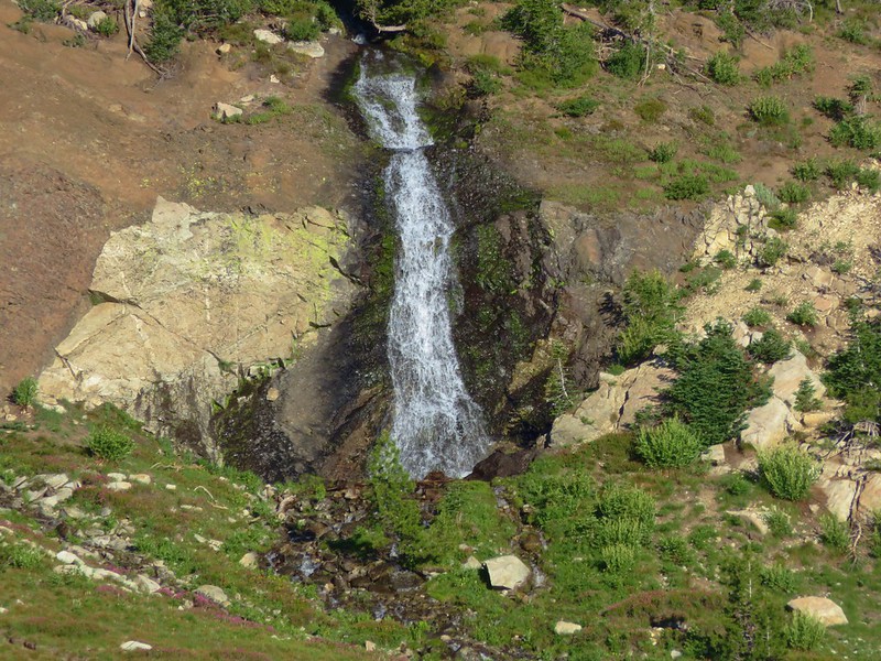
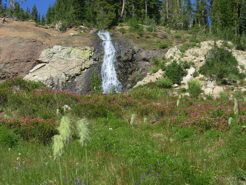
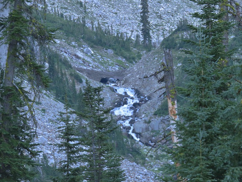
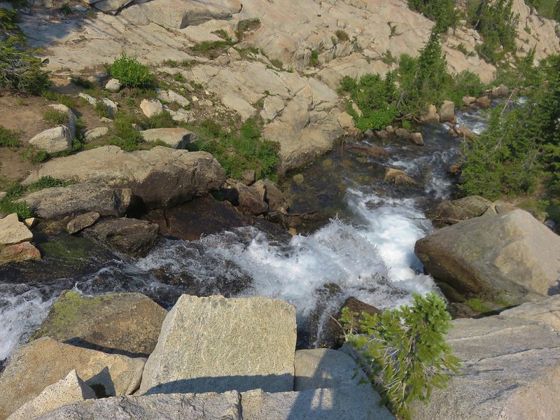
A little over 2.5-miles from the trailhead we passed small corkscrew falls.
 Corkscrew Falls
 One of the few trees that proved a little tricky.
We also had to be wary of falling fir cones. The resident squirrels were busy dropping them to the ground to add to their Winter stores.


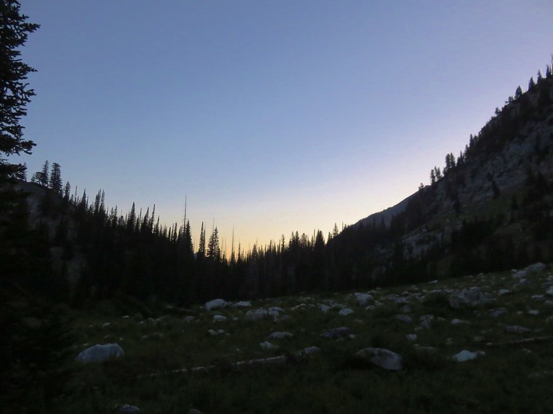
 Smoke hanging over the East Fork Eagle Creek Valley.
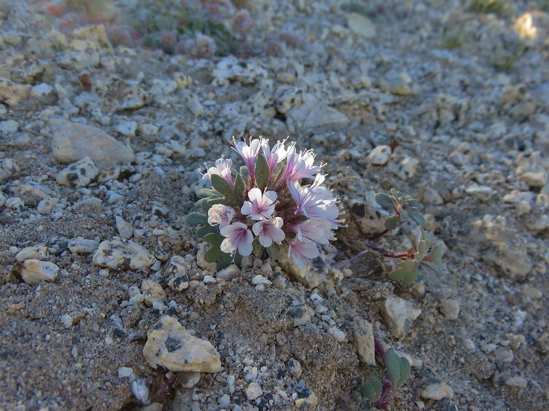
 Penstemon
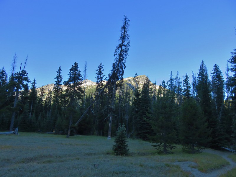
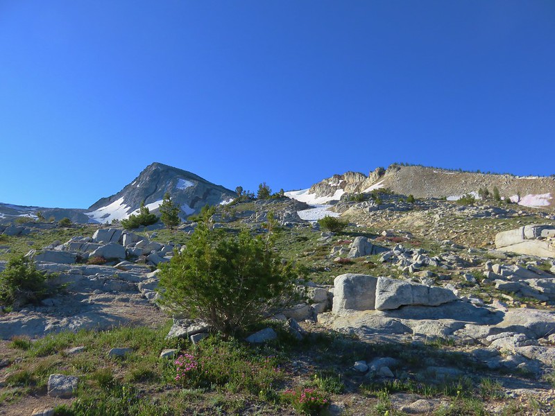
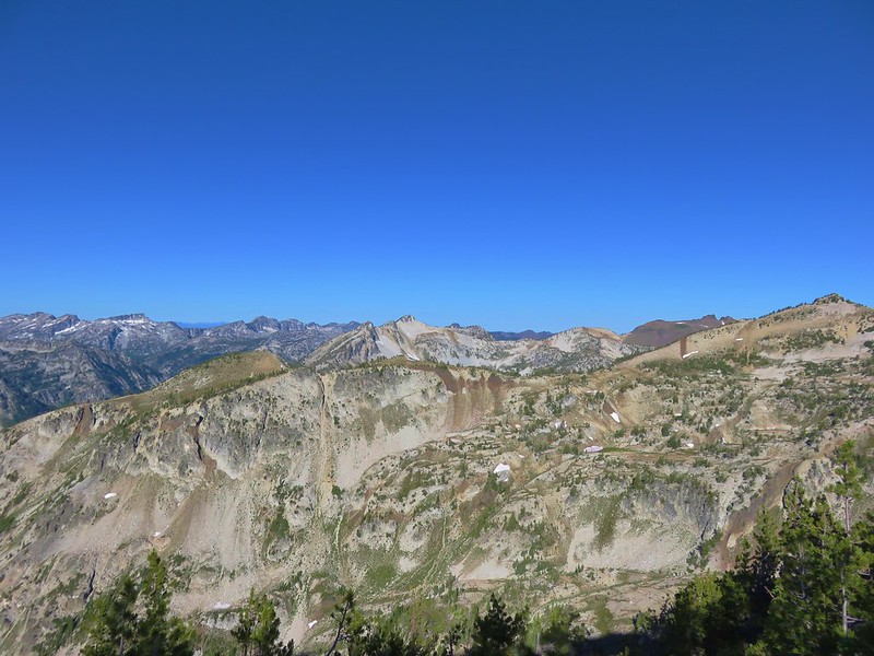
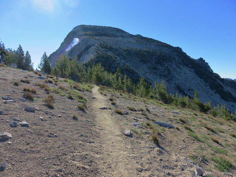
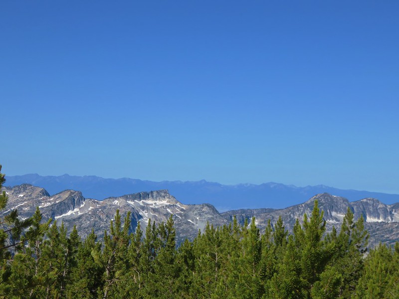
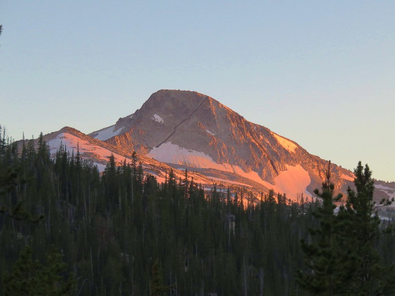
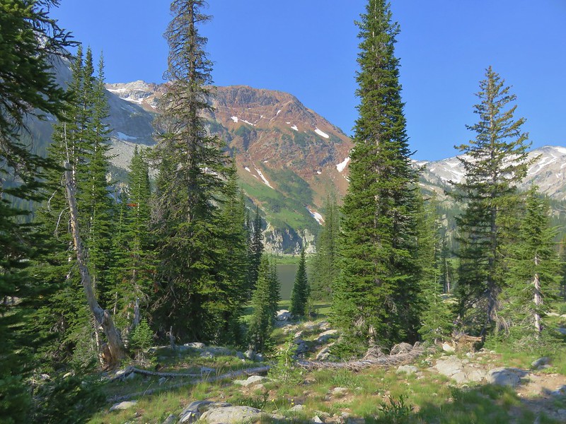
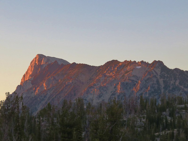
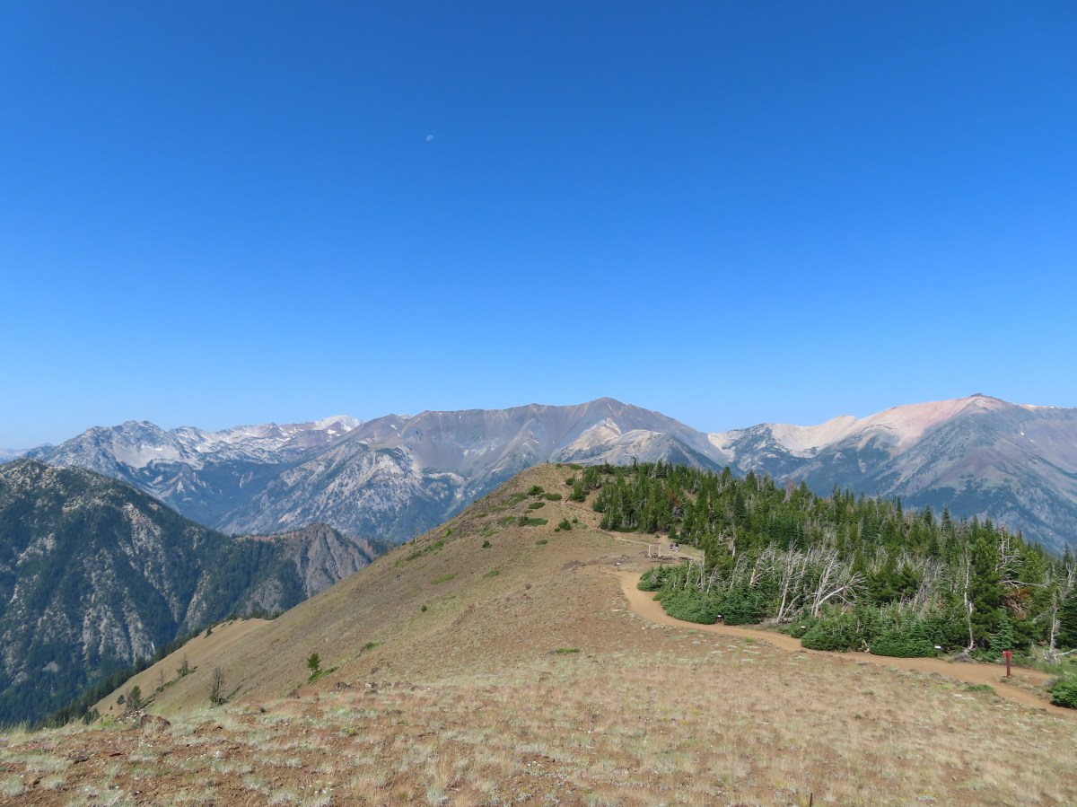
 The different shapes and colors of the peaks in the Wallowa Mountains never cease to impress.
 This section of trail appeared to have fallen victim to an avalanche that came down from the far side of the creek then up this one.

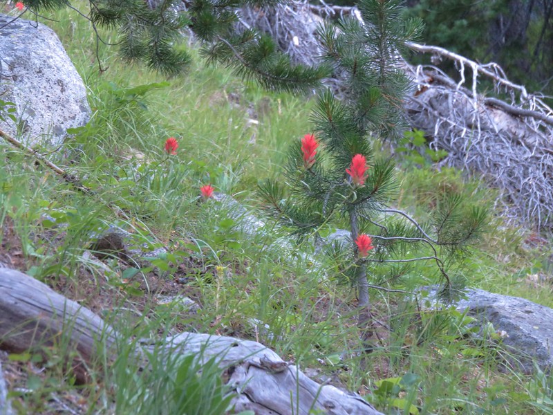
 Paintbrush

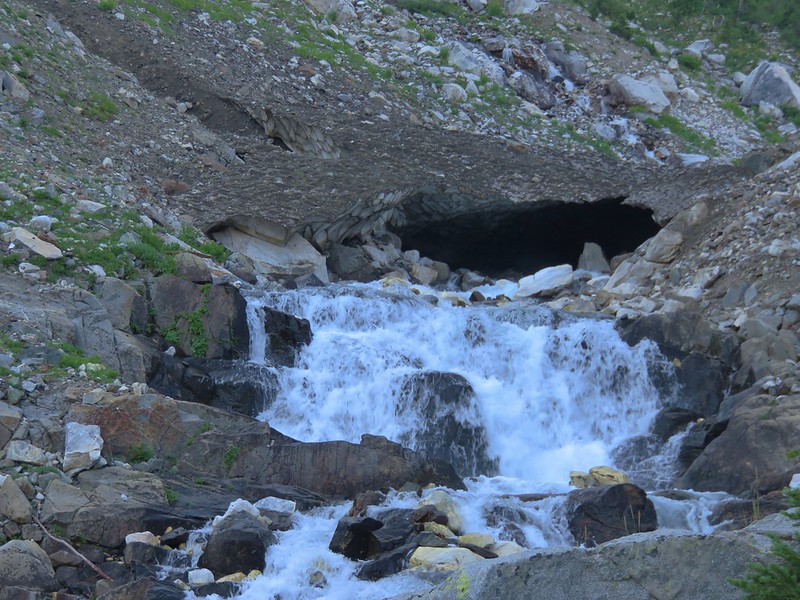
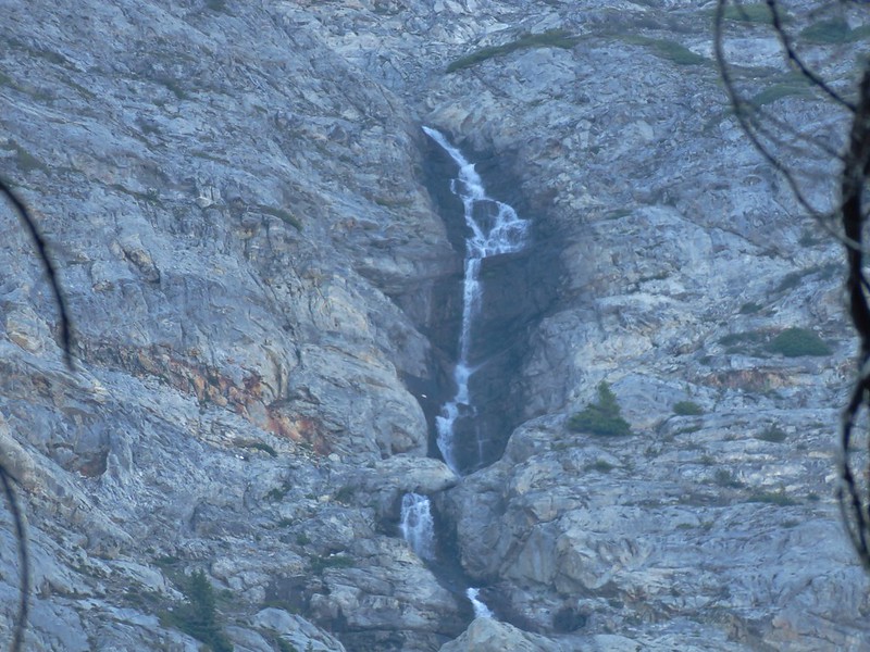
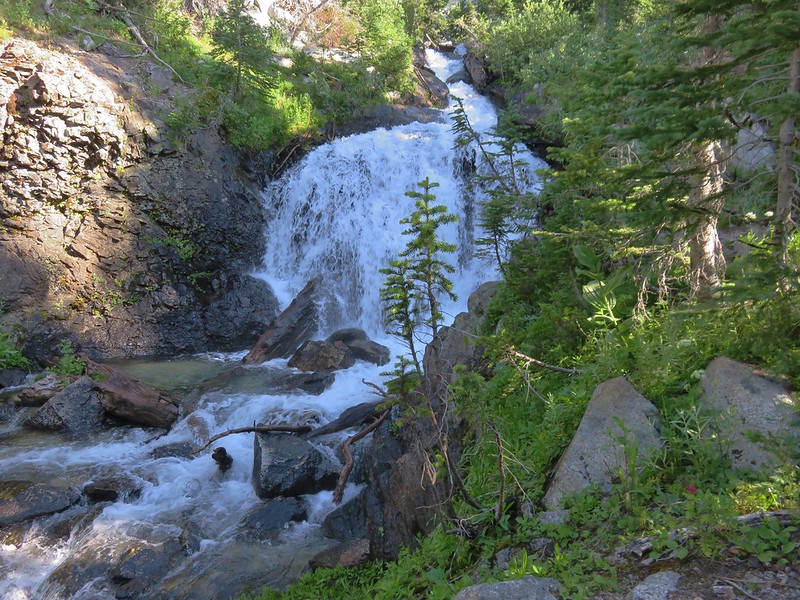
 Unnamed waterfall along East Fork Eagle Creek.
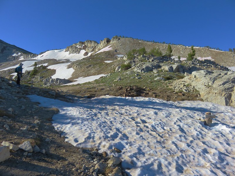
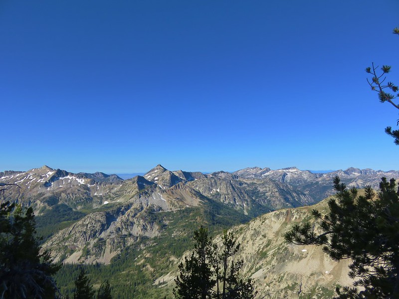
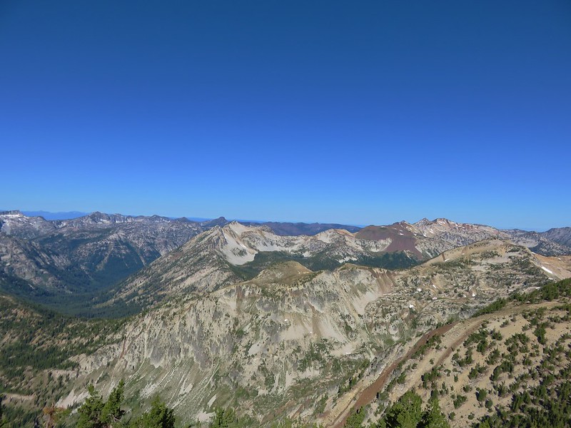
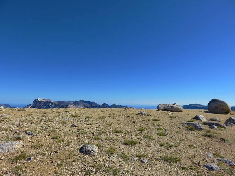
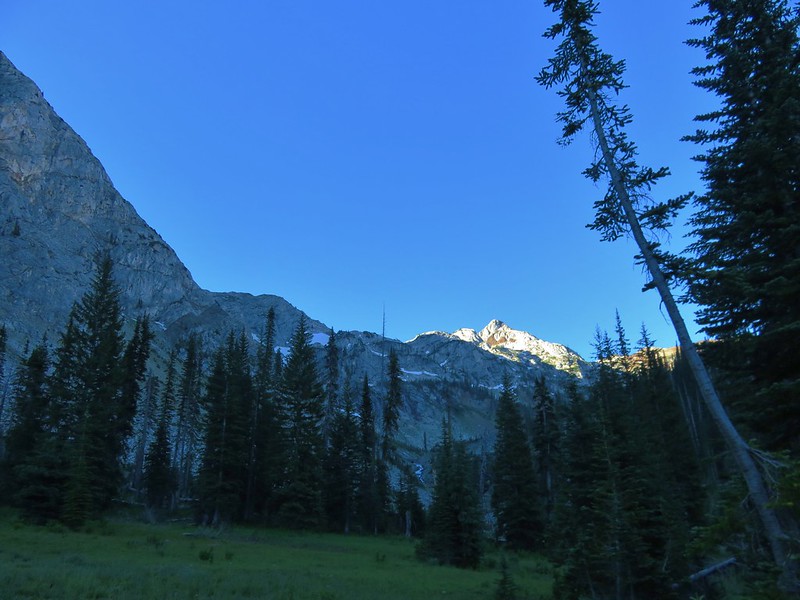
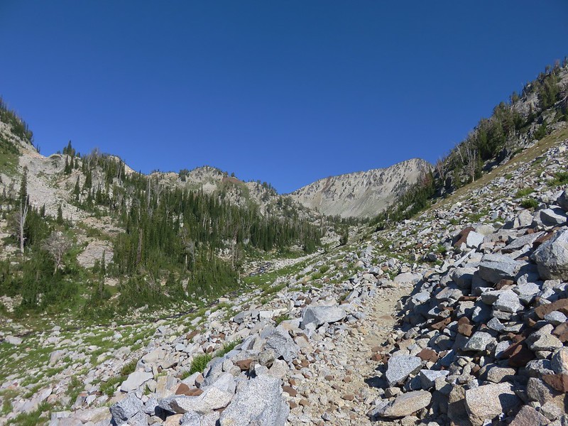
 The view improved a little as the day progressed.
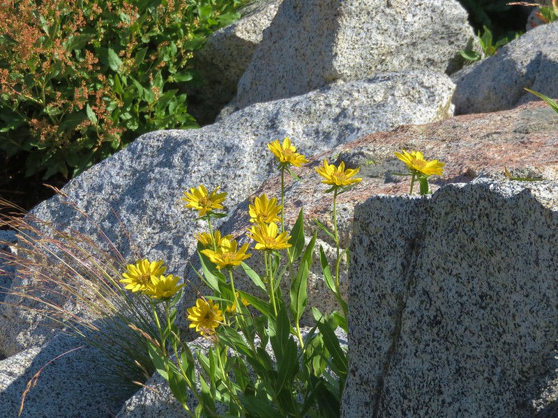
 Coneflower along the trail.
 Fireweed
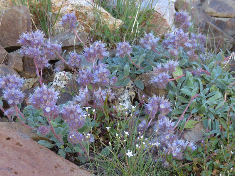
 Last of the mountain coyote mint.


 California tortoiseshell

 Fritillary butterfly
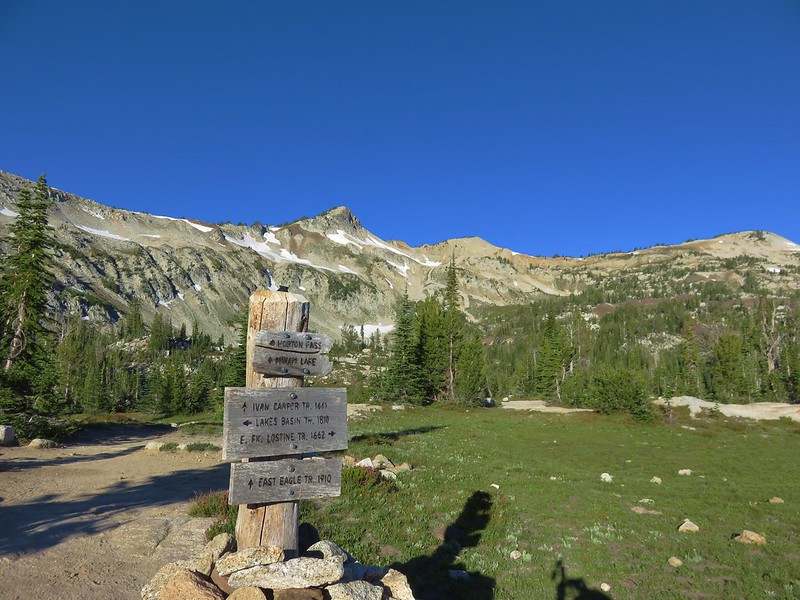
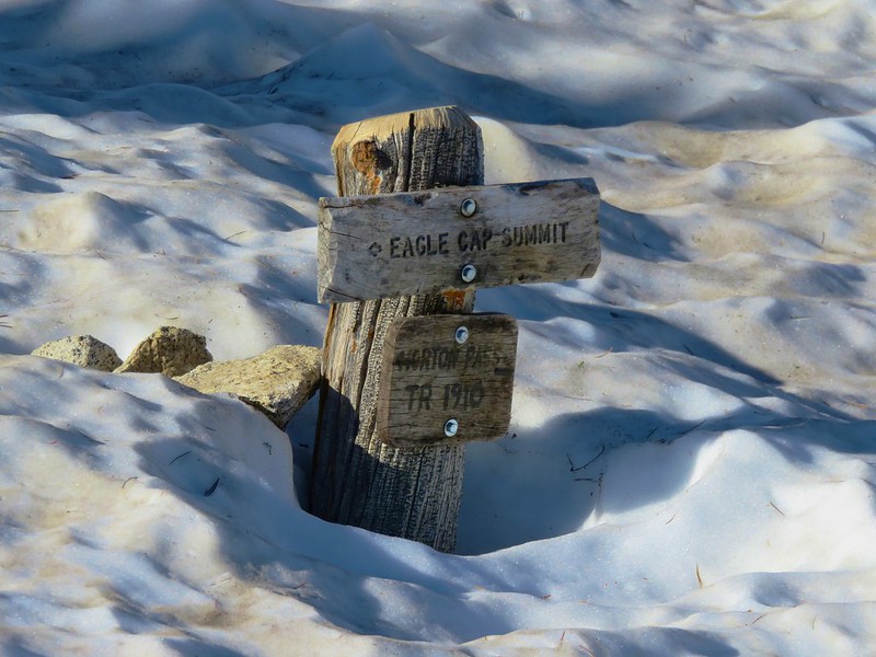
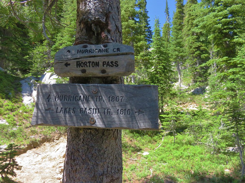
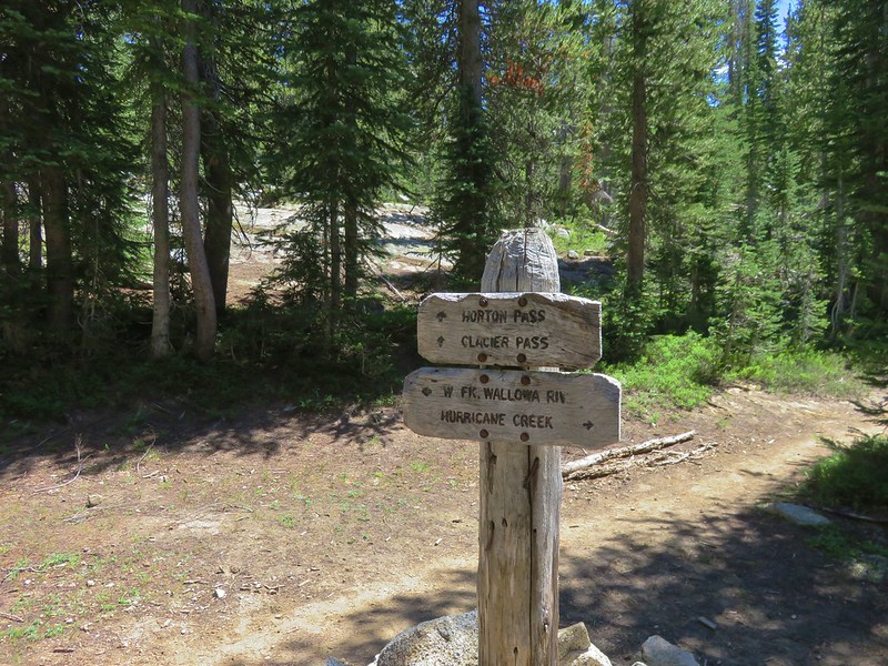
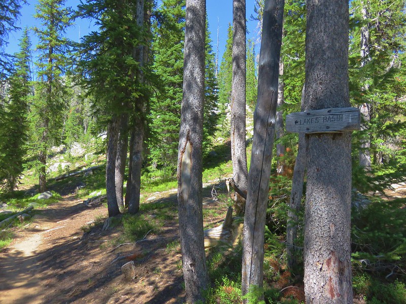
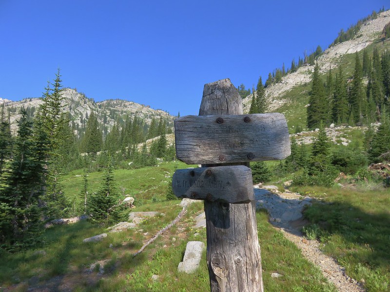
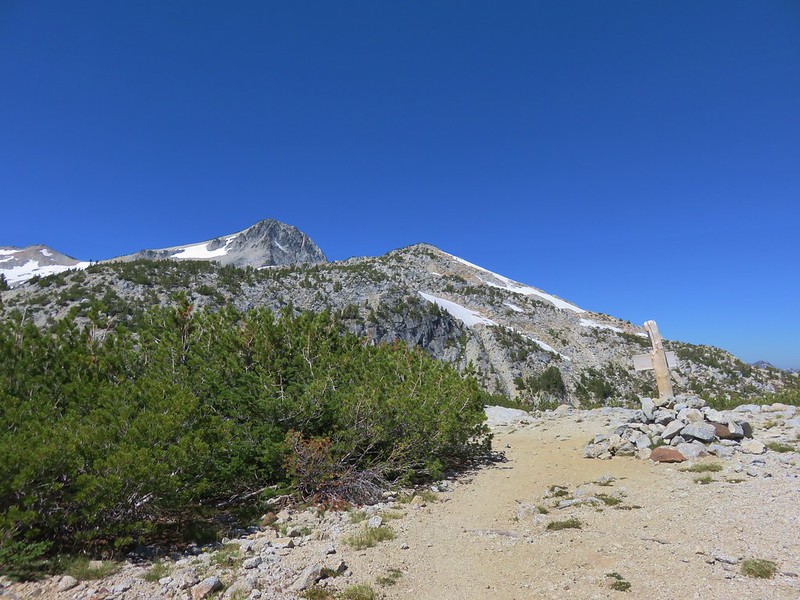
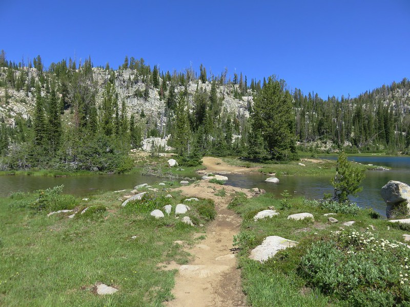
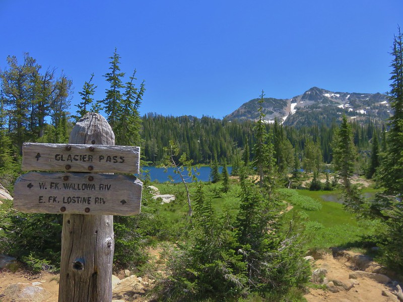
 Post marking the junction with the Hidden Lake Trail.
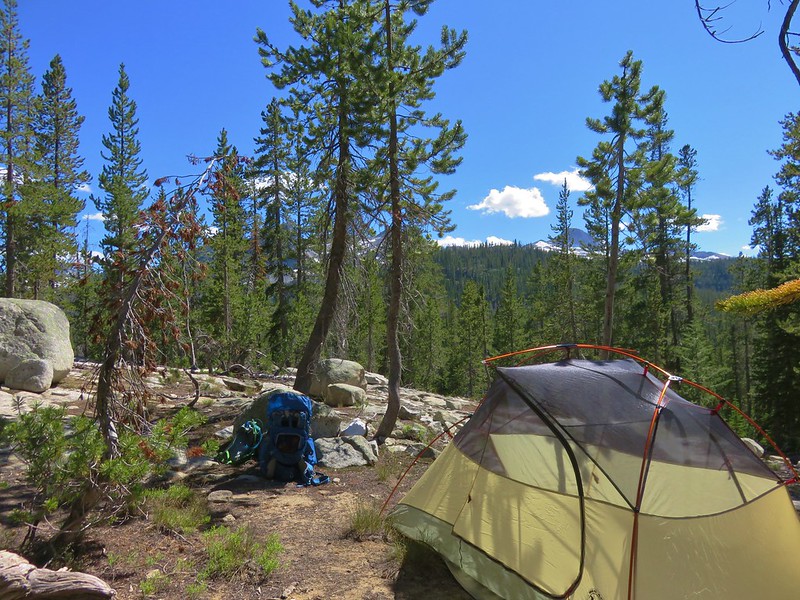
We turned down the Hidden Lake Trail and rock hopped across the creek. After navigating through some more downed trees we spotted an established campsite a little off the trail.


After setting up camp we switched to our day packs and started the climb up to Hidden Lake.

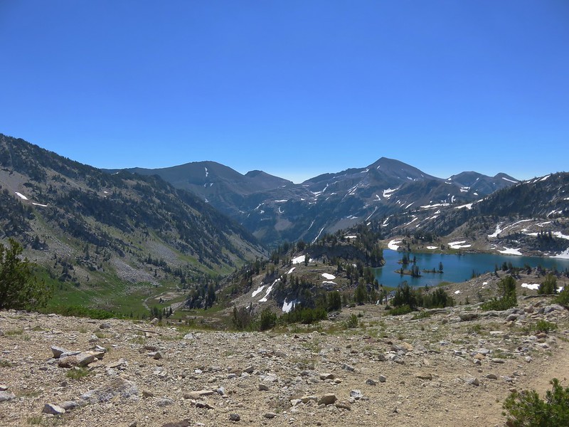
 View back across the East Fork Eagle Creek Valley.
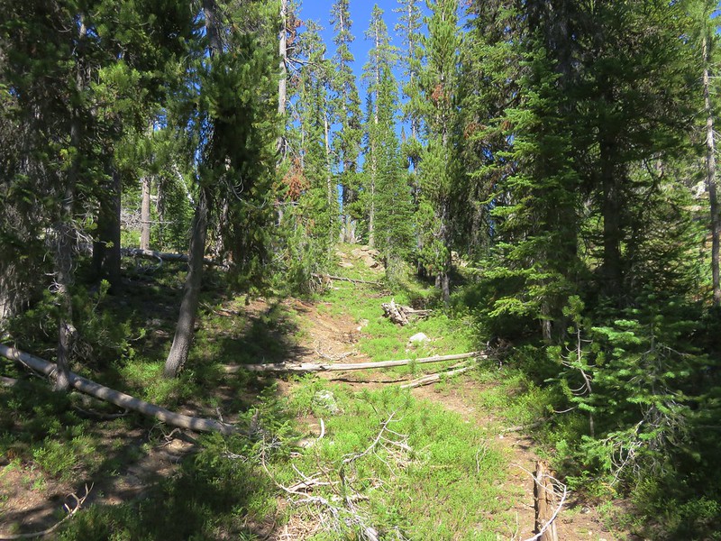
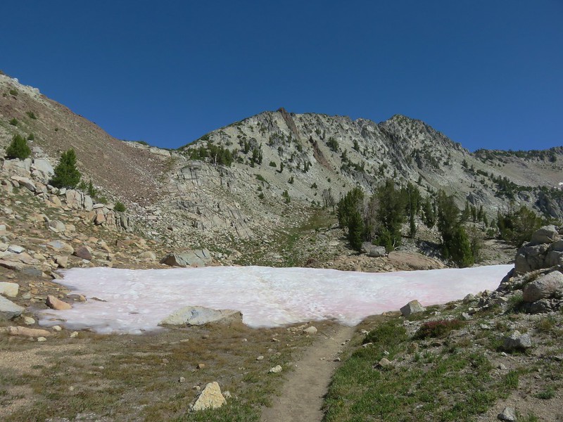
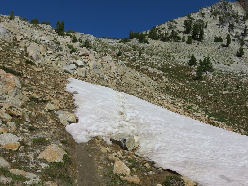
 More obstacles were present along the Hidden Lake Trail.

 More trail damage.
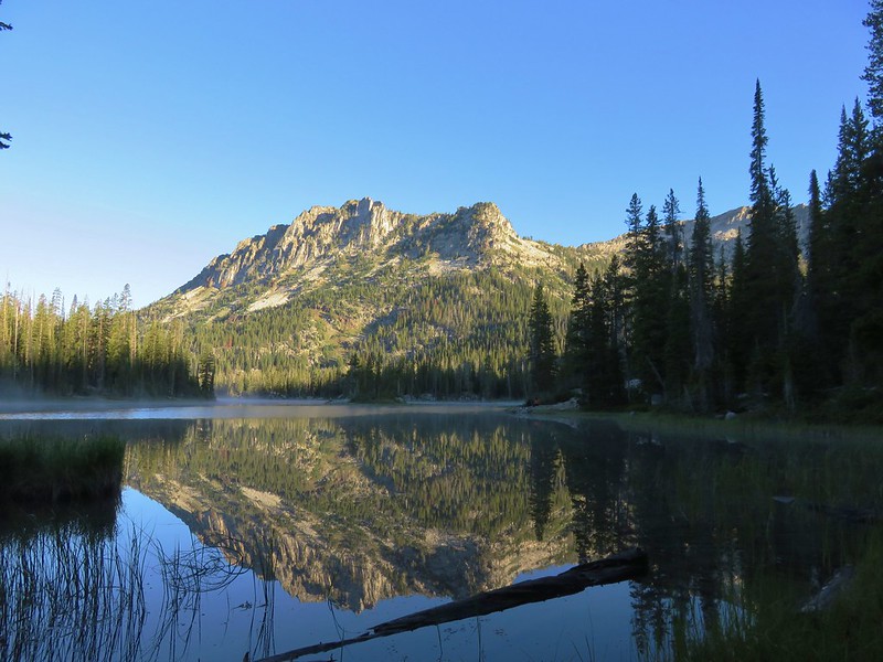
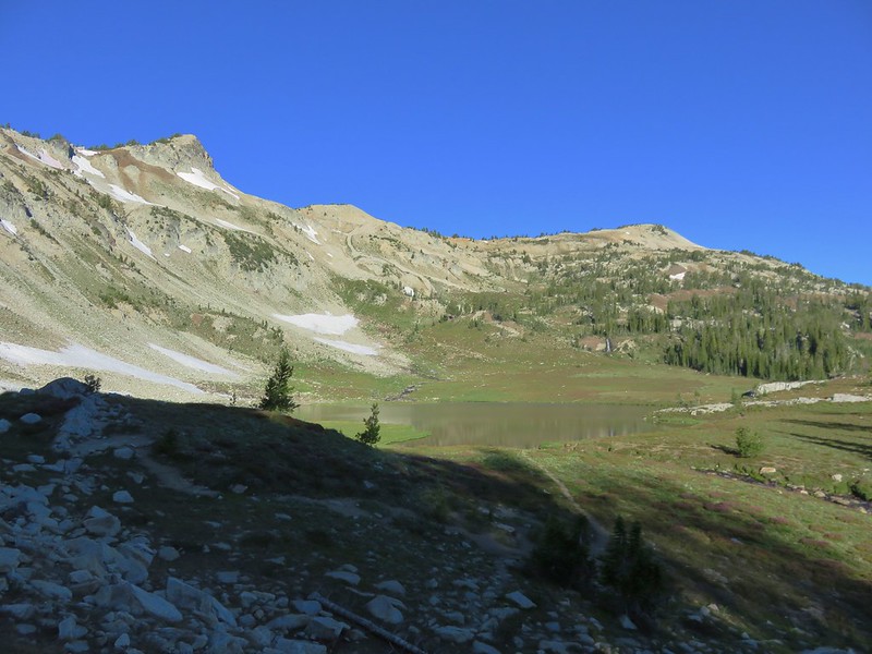
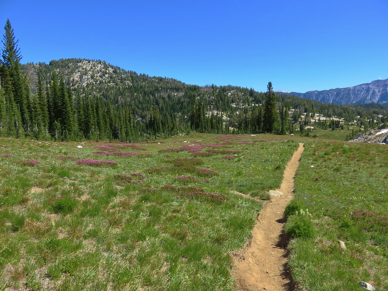
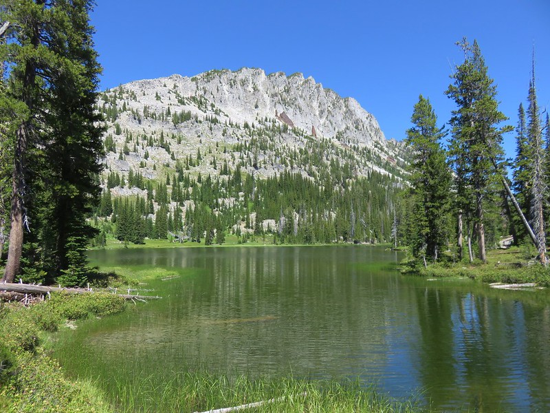
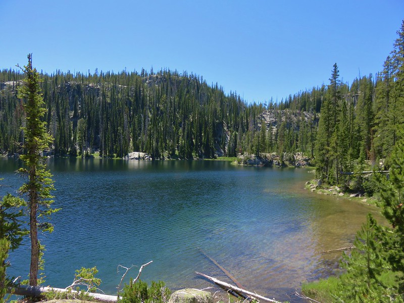
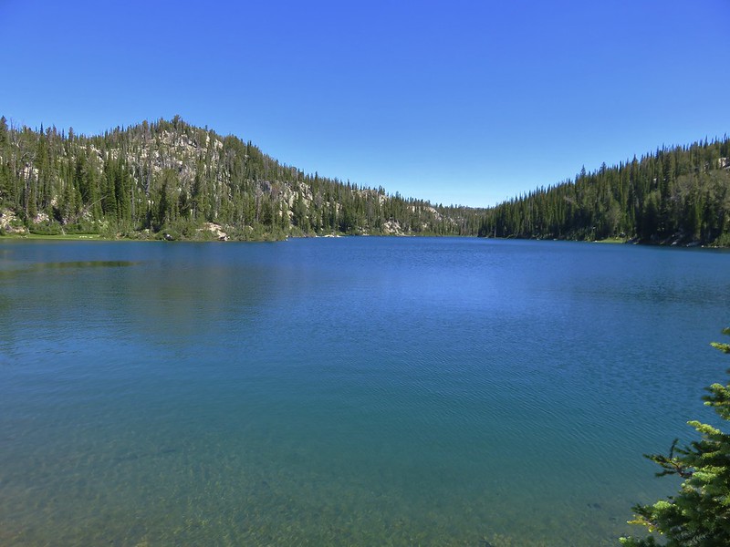
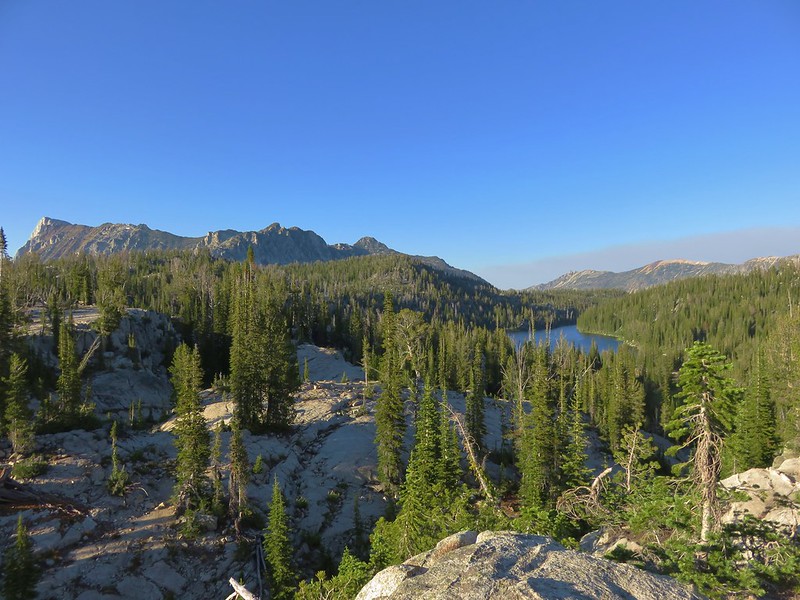
A mile and a quarter from our camp we arrived at Moon Lake.


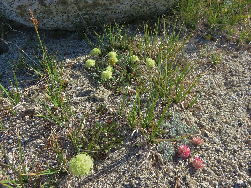
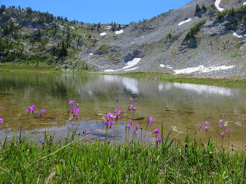
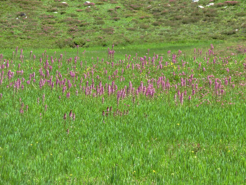
 Gentians
After a brief break at Moon Lake we followed the trail steeply uphill to a pass.


 Looking back down at Moon Lake.
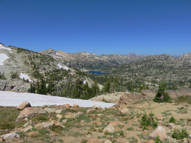
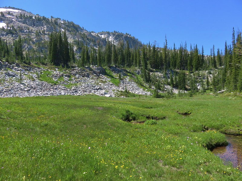
The trail leveled out for a bit at the pass and a short spur trail on the left led to an unnamed lake.


 On the other side of the ridge is Eagle Lake which we visited in 2023 (post).
Beyond the pass the trail descended briefly to an unnamed creek.


Sullivan’s description said to follow the trail to its end at the creek then cross the creek and head right over a small ridge to find Hidden Lake. I had gone ahead of Heather from Moon Lake so I arrived at the creek first and was a little confused to find a clear trail heading across but an even clearer tread continuing on the near side of the creek.

Since the Hidden Lake Trail didn’t appear to end here I thought the trail to the right simply went to a campsite and continued along the creek.
 The Hidden Lake Trail continuing along the unnamed creek.
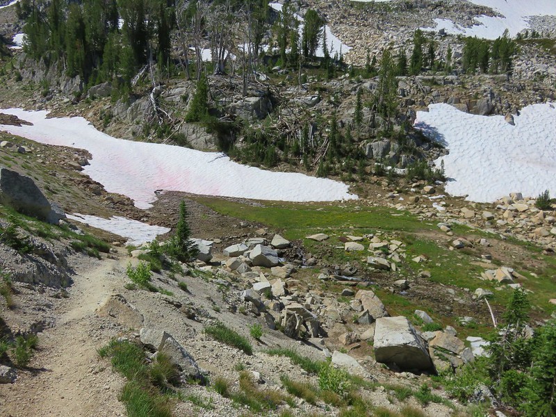
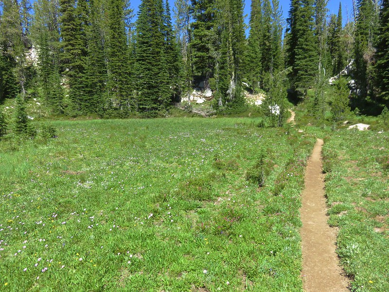
The trail followed the creek through a meadow then curved away from Hidden Lake and petered out with a view of another unnamed lake.

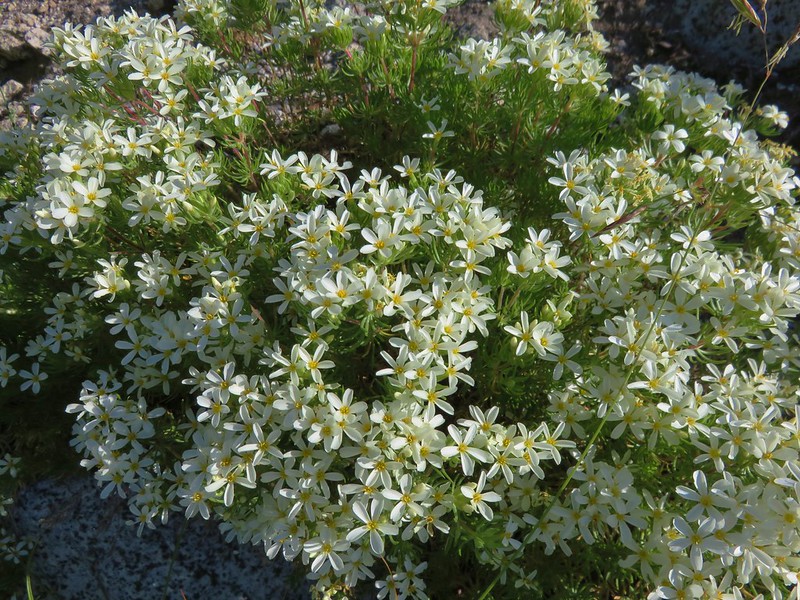
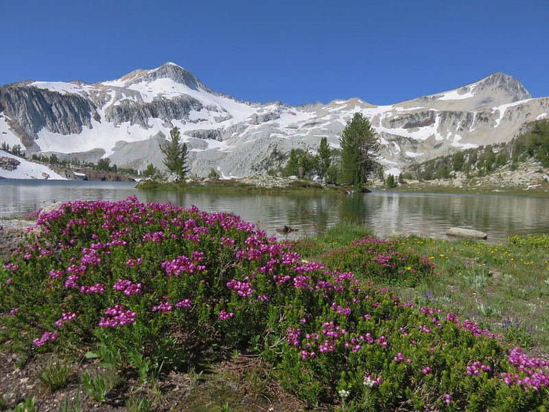
 There were still a few mountain heather blossoms.
 The unnamed lake.
I took a quick look at the GPS and realized that I was almost past Hidden Lake now so I cut cross country and found myself on a ridge about 50′ above the lake.
 Heading cross country looking for the path of least resistance.
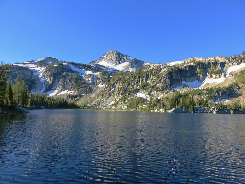
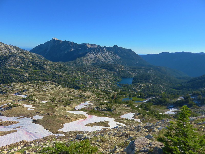
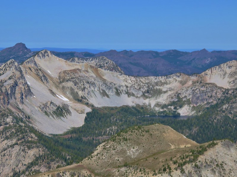
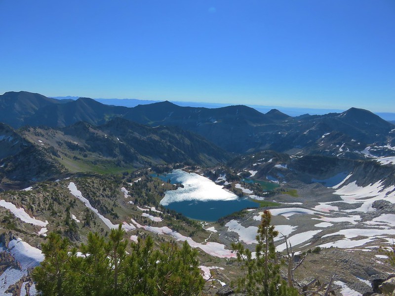
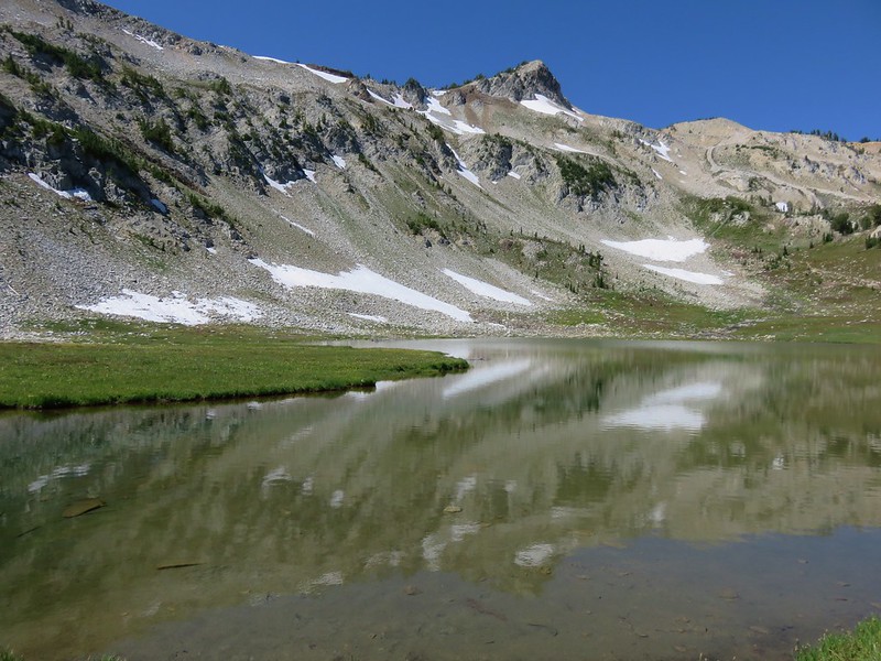
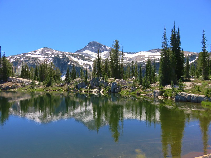
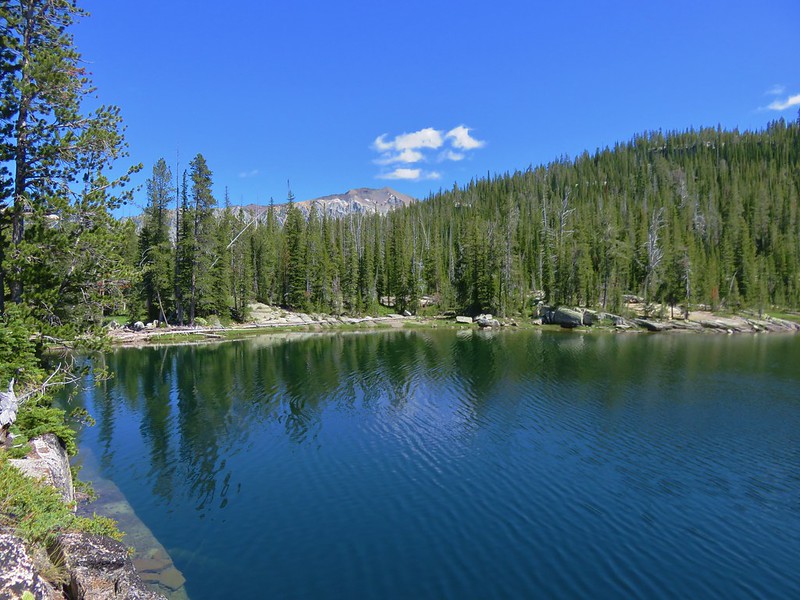
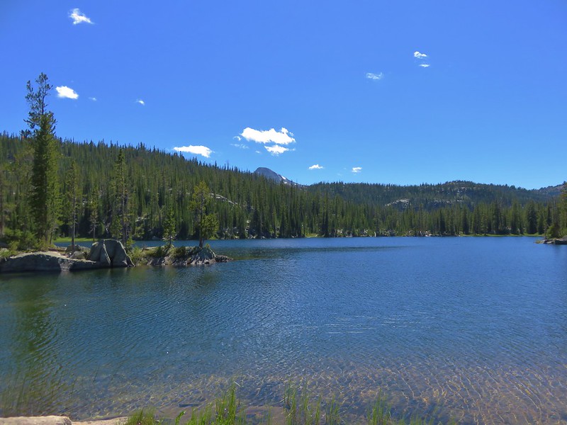
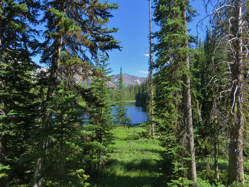
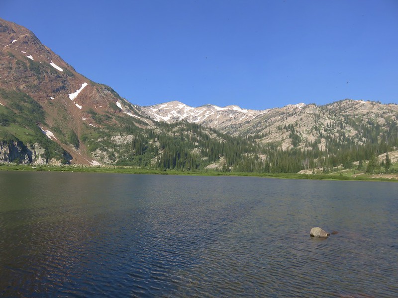
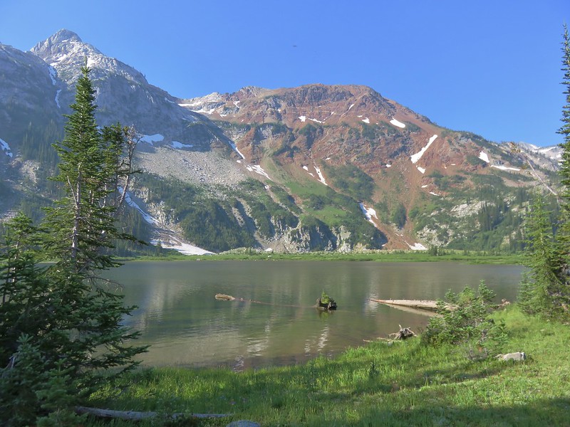
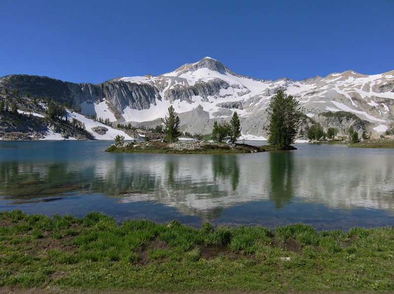
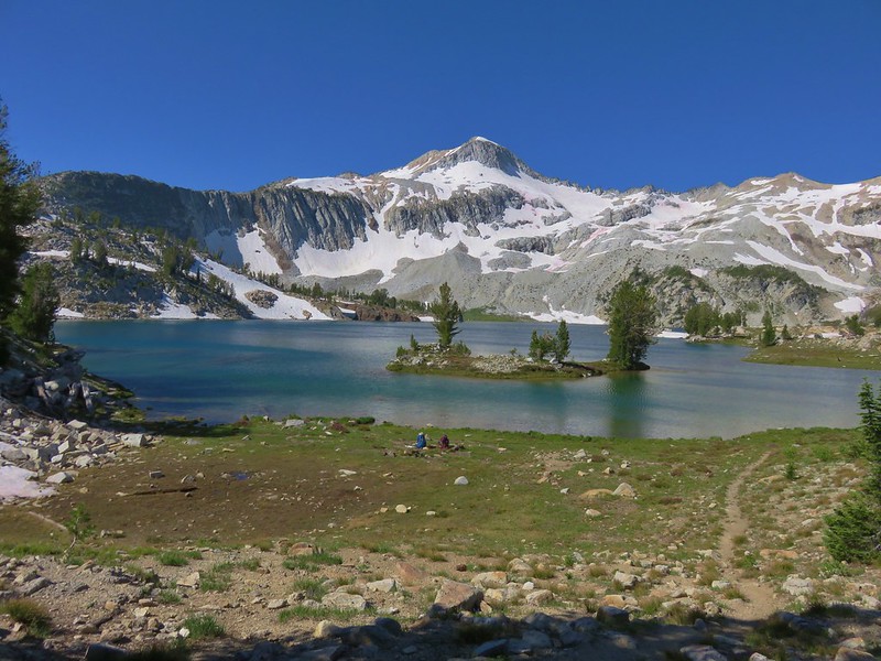
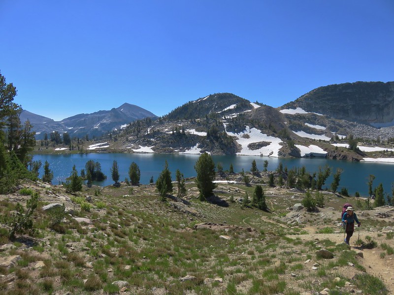
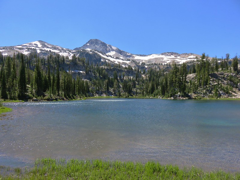
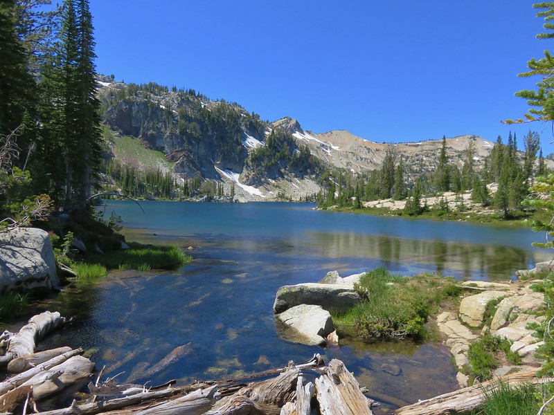
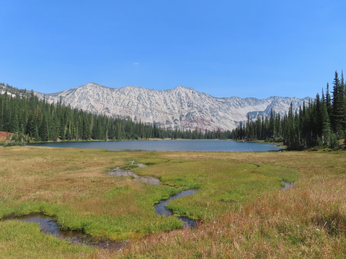
 My first view of Hidden Lake.
I made my way steeply down to the lake and picked up a use trail which led me to a meadow at its western end.

 Eagle Cap (post) on the left, Galcier Peak at center, and Hawkins Point to the right.
The views were amazing, but I quickly realized that Heather might have the same issue with deciding which fork to take when she arrived at the creek. We had planned to meet at the lake, but it was good sized with a network of user trails which would have made it pretty easy to miss each other. I hiked along the lake shore for a bit then cut away from the lake and made my way to the fork and waited there for Heather to arrive.

Luckily Heather had taken an extended break at Moon Lake so I hadn’t missed her. When she arrived we headed down to the lake together then I led her to the meadow so she could enjoy that view as well.

 Monkeyflower
We’d brought our dinner with us so we picked out a spot along the lake where we could relax and possibly prepare dinner when it was time. We had seen two people coming off the Hidden Lake Trail near the junction with the East Eagle Trail, but we appeared to be the only people at the lake so we had our pick of spots.

 We set up for the afternoon.
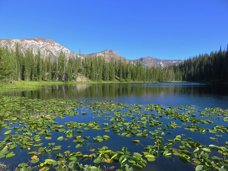
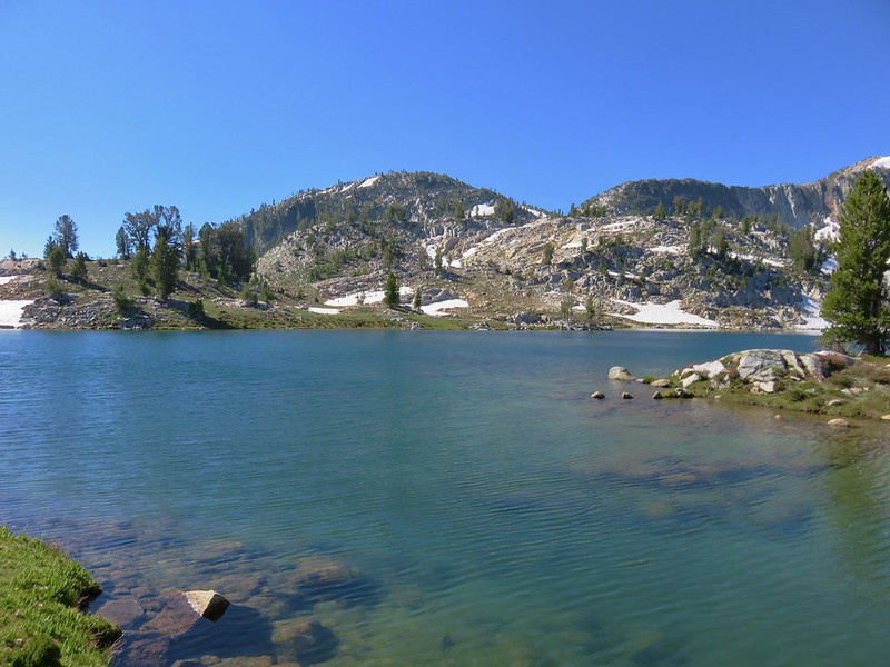
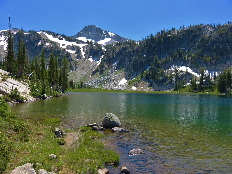
 The lake looked to get pretty deep quickly.
 View from our dinner area.
I followed a use trail to the eastern end of the lake before settling down.


 Gentians
We spent a little over 2:30 hours at Hidden Lake before starting back to camp.
 Last look at the lake.
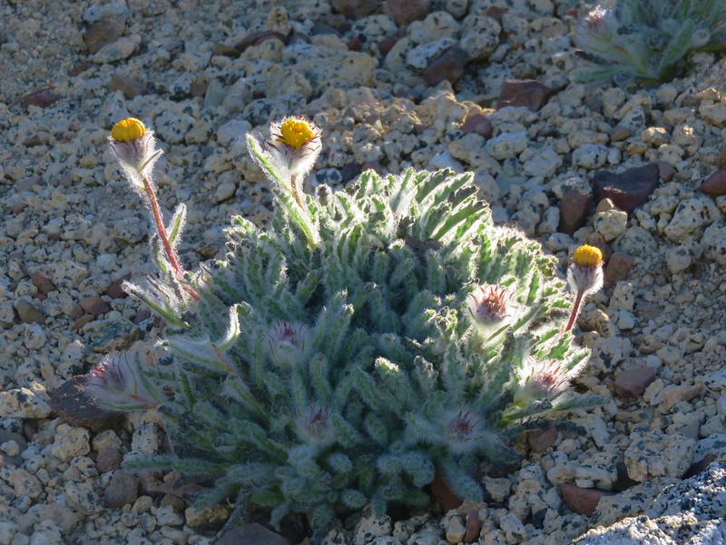
 Grass of parnassus

 Hawkins Point on the left and Jackson Peak on the right.
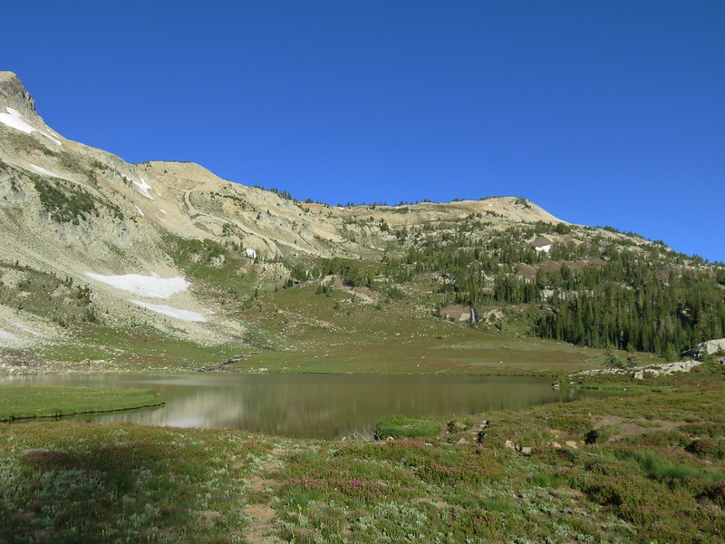
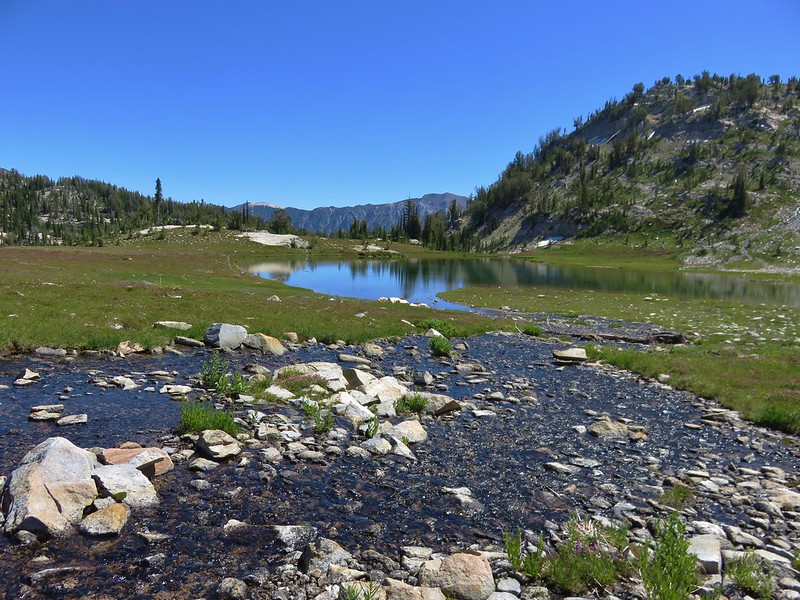
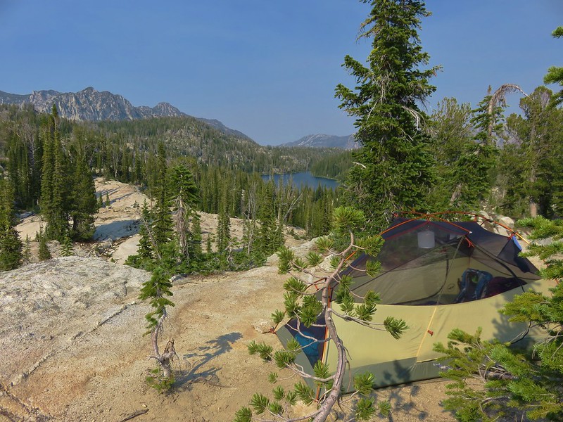
 Moon Lake
 Big cricket

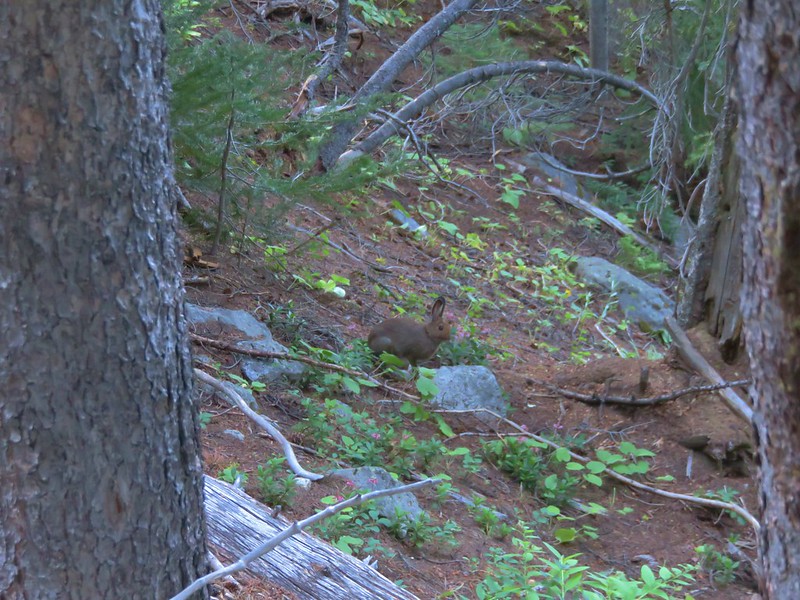
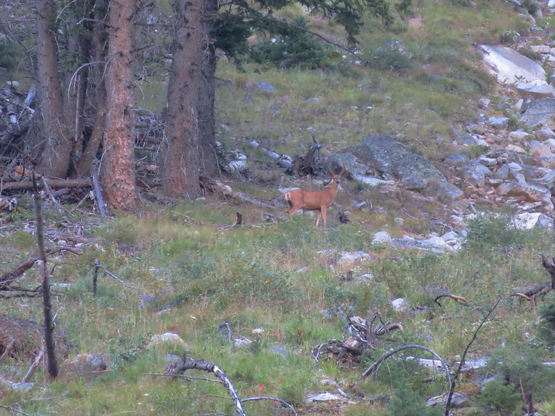
 Doe
Doe

We got back to camp at a quarter to six and relaxed there for a bit until we got too chilly and decided to turn in instead of adding more layers of clothing.
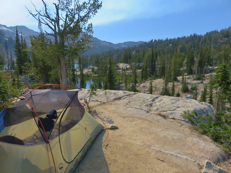
 Unnamed creek near our campsite.
Before we turned in we’d set up a trail cam that we’d finally remember to bring on a backpacking trip. Unfortunately we didn’t refamiliarize ourselves with how to operate it and we accidently switched it to “Test” mode instead of “On”. This turned out to be a real bummer because when nature called around 1:30am and I left the tent my headlamp picked up a pair of eyes at the far side of the small meadow that the camera was facing. It would have been fun to have gotten to see what was prowling around our camp, but at least we remembered to bring it this time.
When we got up at 5am there was no sign of the visitor as we began packing up for the hike out. It was quite a bit smokier as we set off.
 View from camp in the morning. The eyes were looking at me from near the tree in the foreground to the left.
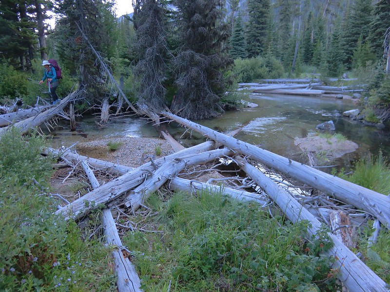
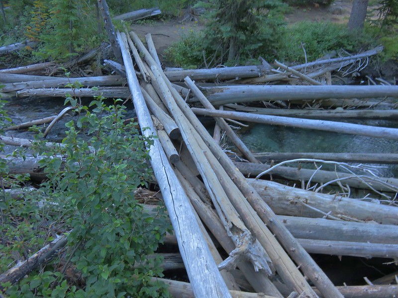
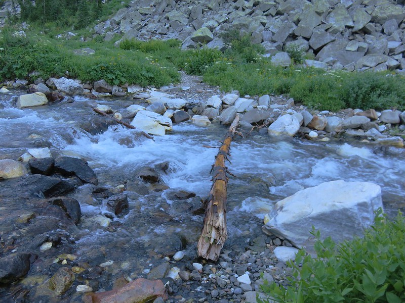
 Recrossing East Fork Eagle Creek.
 Heading into the haze.
 A healthy looking paintbrush.
We spend a lot of time fruitlessly scanning terrain for wildlife, but every once in a while, it pays off. About ten minutes to 8am I spotted something crossing a granite outcrop across the creek. It was pretty far away, but it was clearly a black bear. I couldn’t explain to Heather where it was before it disappeared, but I did get a few very grainy photos.
 The bear had been walking up the outcrop in the shade in the middle of the picture.
 The bear is the black blotch on the rock in front of the tree at center.
 The bear just before it vanished behind the outcrop.
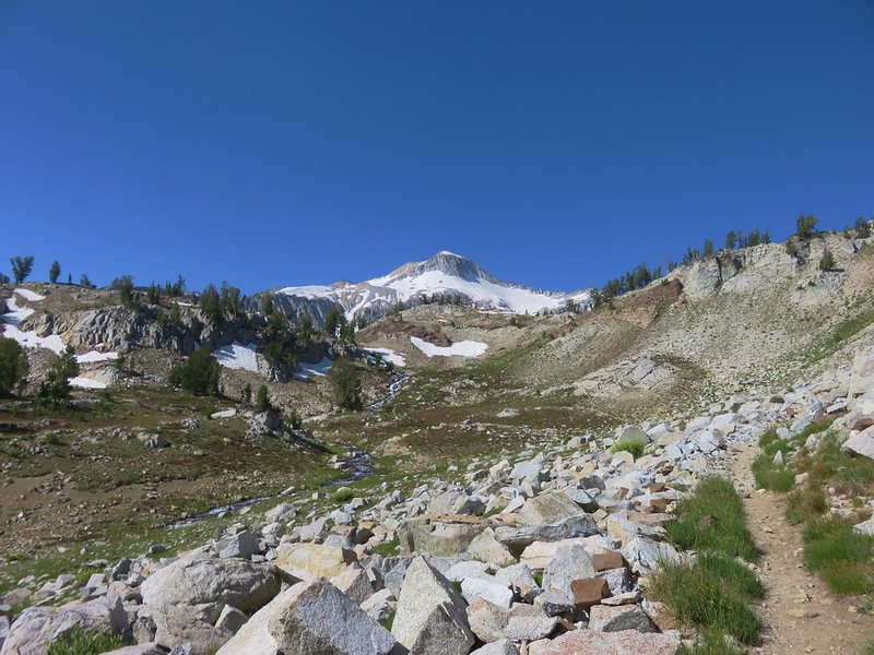
That was the last of the excitement for the morning. The views got a little better as the morning progressed.

 Hawk in a snag.

 Corkscrew Falls
 Granite Cliff
 “Papa’s Camp” was located at the end of the 0.2-mile spur road.
 East Fork Eagle Creek from an old bridge near Papa’s Camp.
 Granite Cliff rising above East Fork Eagle Creek from the spur road to the trailhead.
It was 10:30am when we finished the 7-mile hike back to our car. My first day had been just over 12-miles with approximately 2670′ of elevation gain giving us a little over 19-miles for the trip.

This was a good trip with nice scenery and Hidden Lake was beautiful despite the hazy conditions. We can always count on a nice variety of wildlife in the Wallowas, and this trip was no exception. It was a great way to cap off our 500 featured hike goal. Happy Trails!
Flickr: Hidden Lake Backpack


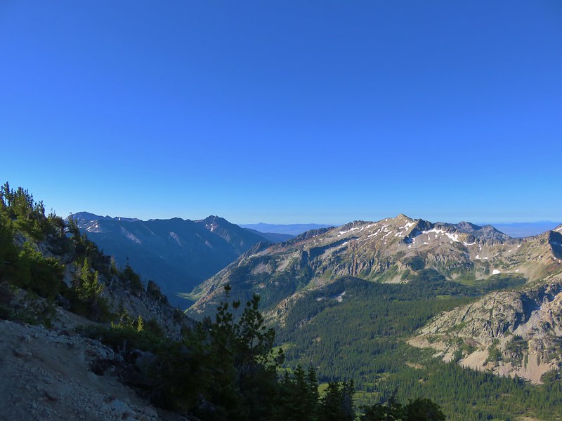
 View after coming back down.

 The tramway from the top.
 Pointer for the Royal Purple Overlook (right) and Summit Overlook (left).
 Penstemon
 Heading out to the Royal Purple Overlook.
 They do hold weddings up on the mountain.
 Lewis flax
 Mountain coyote mint
 The Hurwal Divide, Point Joseph and Ruby Peak from left to right.
 Pete’s Point, West Aneroid Peak, Eagle Cap the furthest away (
 Closer look at Eagle Cap.
 Craig Mountain and the Matterhorn (
 East Peak
 Pano that Heather took with her phone.
 Buckwheat
 Pointer for the Summit Overlook.
 View from the Summit Overlook. Heather is standing on the Royal Purple Overlook.
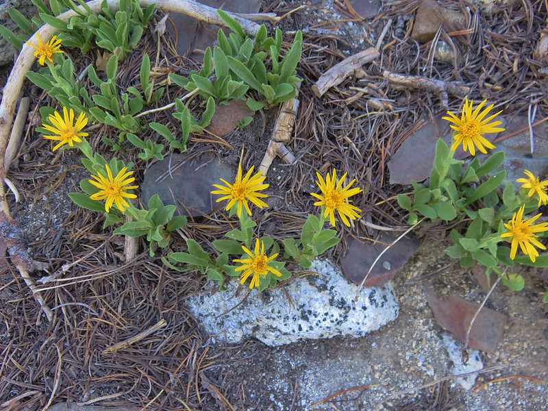
 Buek’s groundsel
 Point Joseph
 East Peak as I neared the Summit Overlook.
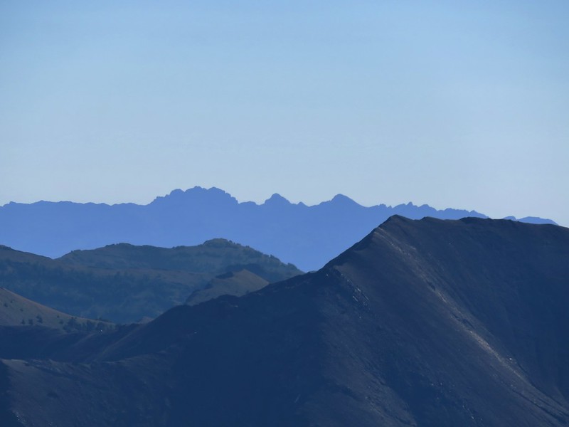
 The Seven Devils poking up above the smoke from Idaho.
 Seven Devils
 Mount Melissa to the left and East Peak straight ahead.
 The 4-way junction.
 East Peak from the 4-way junction.

 Mountain bluebird
 Climbing to the saddle.
 The view from the saddle.
 Wood blocking the lower end of the “short-cut”.
 Looking back at the Summit Overlook during one of my several breaks during the climb up.
 There were a few obstacles to avoid along the climb as well.
 The Royal Purple Overlook from the trail.
 Up, up I go.
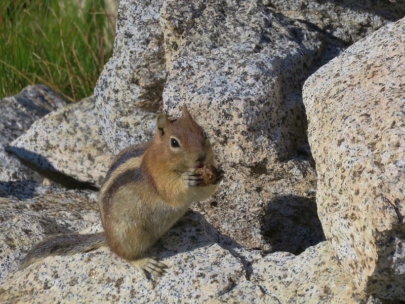
 Golden-mantled ground squirrel watching me navigate some blowdown.
 The views helped keep my mind off the climbing.
 The second saddle in sight.
 The angle was enough different from the saddle that I could see a couple of additional peaks.
 The Matterhorn on the left and now Sacajawea Peak behind the Hurwal Divide to the Matterhorns right.
 The saddle provided a brief level stretch before the trail launched steeply uphill again.

 East Peak
 Lots of buckwheat along this section.
 Buckwheat and lupine above the trail.
 The fork. According to Sullivan the righthand fork peters out in about 0.2-miles and then it’s possible to scramble up East Peak in another three quarters of a mile. I went left heading for the spring.
 The McCully Creek Trail which we hiked a couple of days earlier (
 A phacelia
 Lyall’s Goldenweed
 Wallflower
 Looking back at the trail.
 Flowers near the springs.
 Shrubby cinquefoil surrounded by bistort and mountain death-camas.
 Mountain death-camas and bistort
 Looking up at the springs.
 Monkeyflower
 There were several smaller streams below East Peak.
 Aneroid Mountain
 Ground squirrel
 View from my turn around point.
 Looking back at my route to the second saddle.

 Dusty maidens near the springs.
 Heading down to the saddle.
 Cairn at the saddle.
 Milbert’s tortoiseshell
 Pale agoseris
 Climbing back up to the 4-way junction.
 Back on the Summit Loop.
 Crossing the service road coming up from McCully Creek.
 Mountain Heather
 Pointer for the Valley Overlook.
 Spur trail to the Valley Overlook.
 Flag at the Valley Overlook.
 Wallowa Lake below the Valley Overlook.
 Wallowa Lake
 East Peak peaking up over the trees.

 Wallowa Paintbrush
 The upper terminal.
 Apparently Heather was busy making a friend while I was visiting the springs even though she did not feed any animals.
 The straight line is the tram ride.