**Note the 2020 Riverside Fire burned a most of this hike.**
We managed to stay off the trail for two weeks but a favorable forecast called us back out for our November outing. We chose a pair of hikes along the Clackamas River east of Estacada, OR. The Riverside Trail was another of Sullivan’s featured hikes that we’d been saving for a rainy day, but we just didn’t have many of those this year so we decided to go ahead and check it off our to do list.
Before getting to the Riverside Trail though we stopped at the nearby Alder Flat Trailhead which is located along Highway 224 just west of the Ripplebrook Guard Station.

We arrived a little before the light so we waited at the trailhead for enough light before setting off on the .9 mile trail that led to the primitive Alder Flat Campground along the Clackamas River.
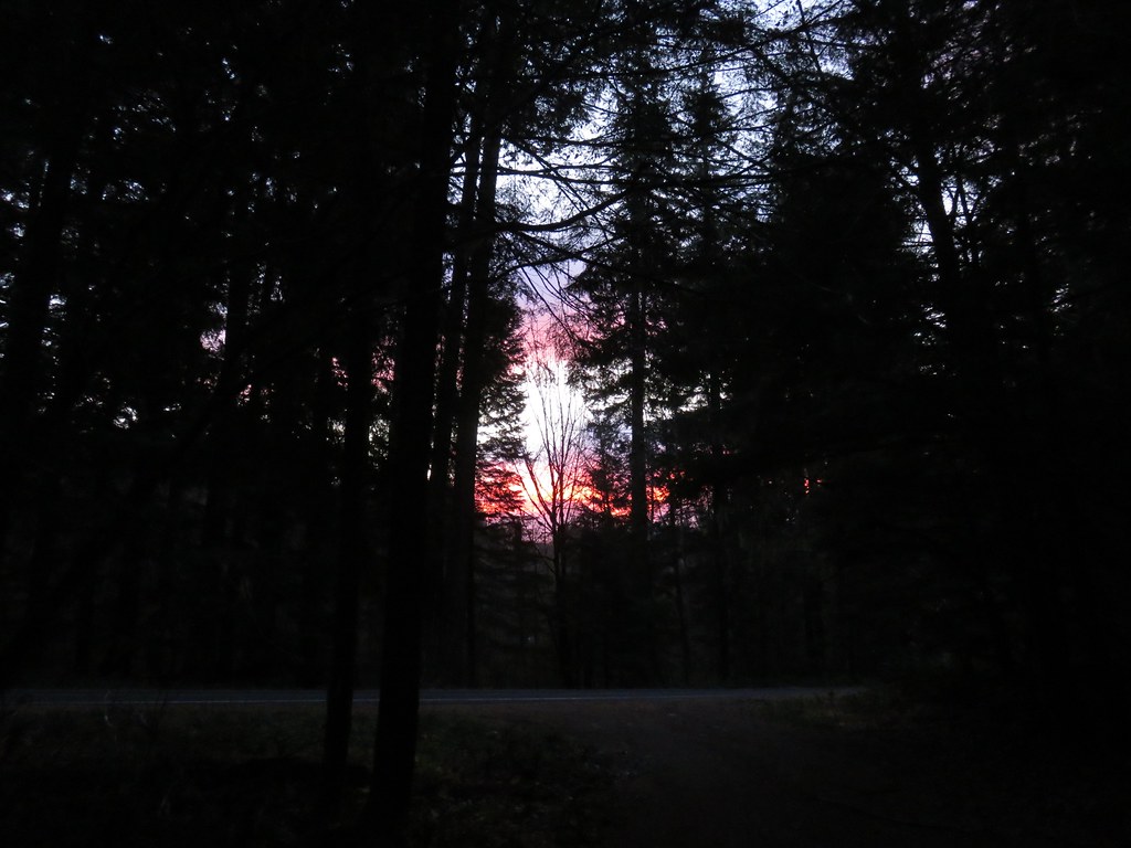 There was a nice sunrise while we waited for enough light.
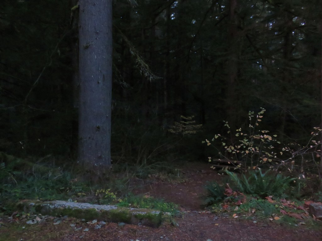 Alder Flat Trail at the trailhead.
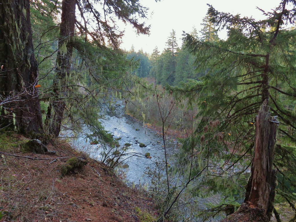
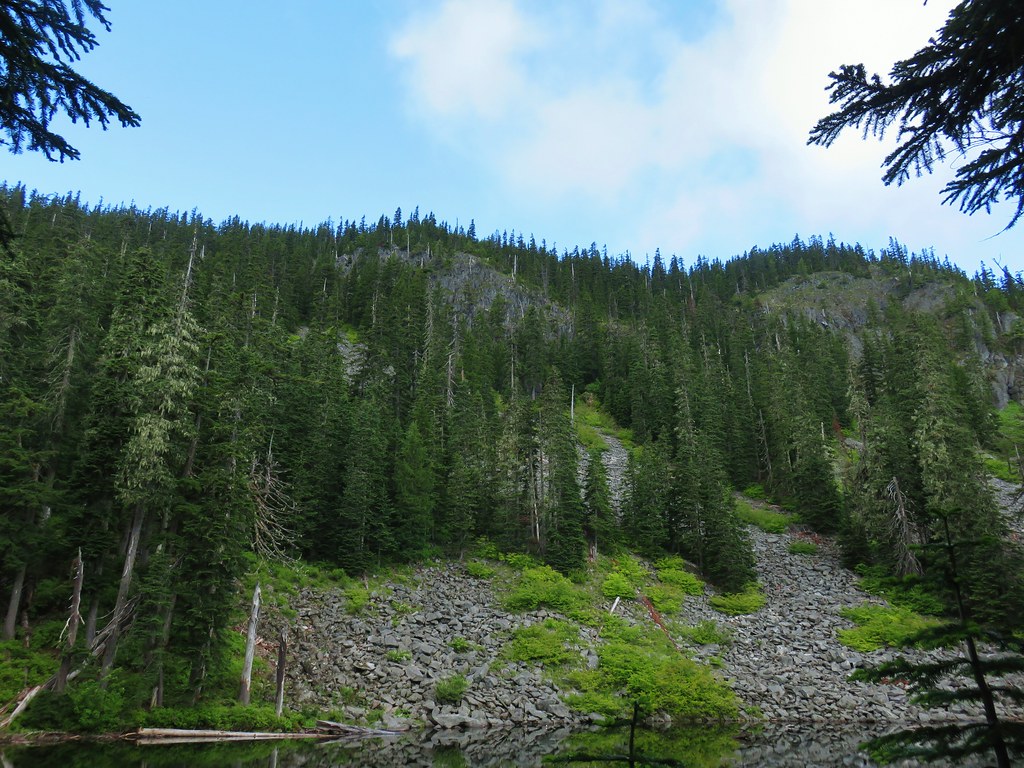
The trail passes by an old beaver pond and through a green forest before arriving at the campground near a swimming hole at a bend in the river. Maps also show a trail around the beaver pond but we followed it briefly on the way back and it petered out after crossing the outlet creek on a log.
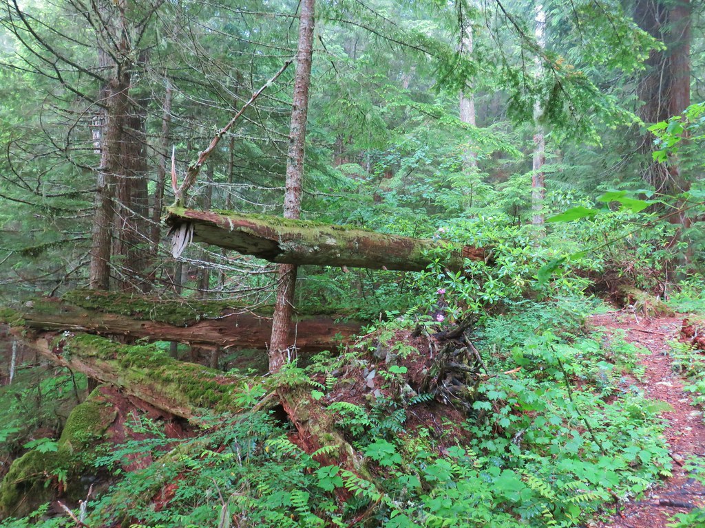
 Passing the old beaver pond.
 Beaver pond from the former trail around it.
 The trail around the pond petered out on the far side of this log.
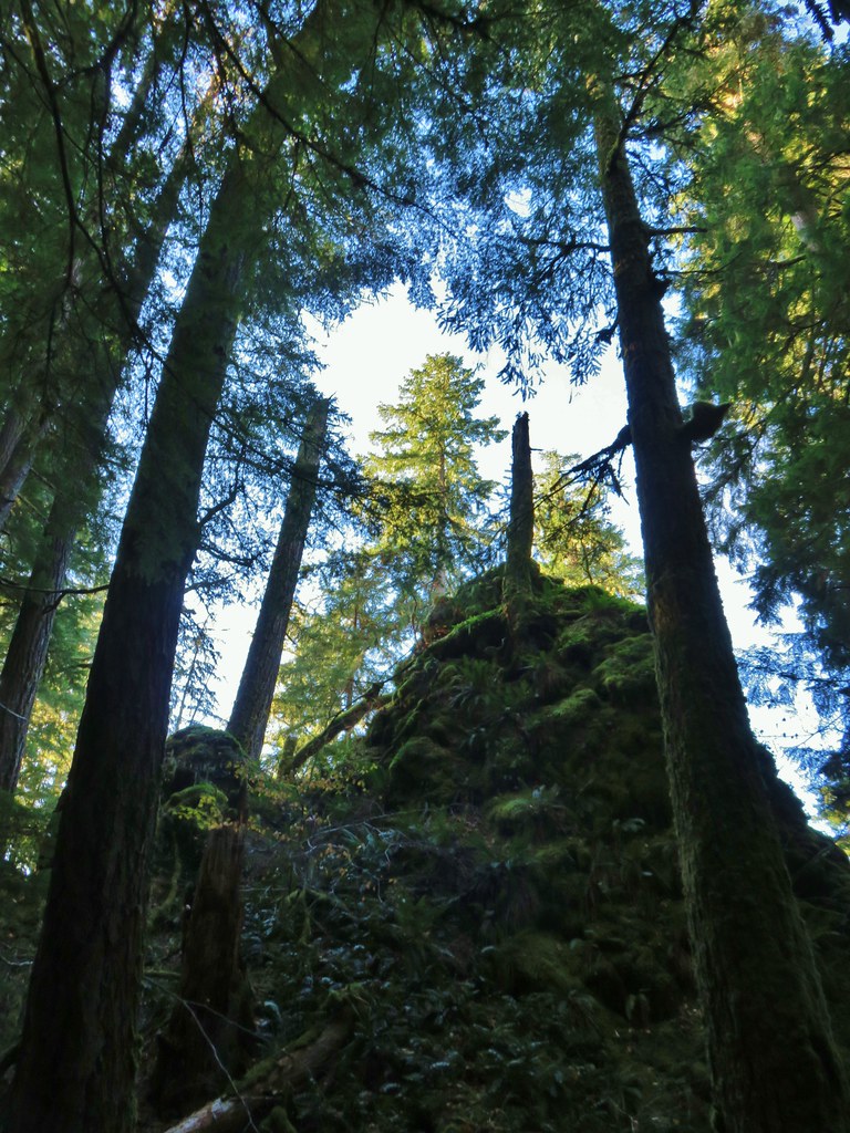
 Alder Flat Trail in the forest.
 Arriving at the campground.
 Swimming hole (It was a little too cold today.)
 Clackamas River at the Alder Flat Campground.
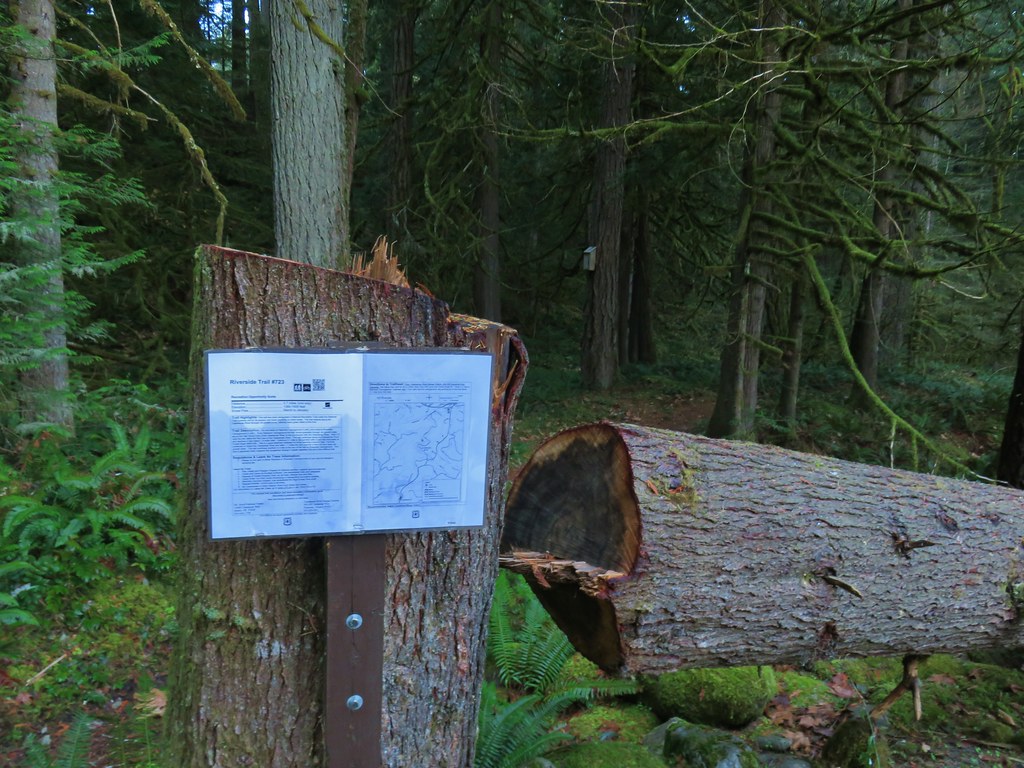
From the Alder Flat Trailhead it was less than a mile to our starting point for the Riverside Trail at the Rainbow Campground.

When the campground is open you need to pay to park there. With the campground closed there is no fee, but it does add a .3 mile road walk into and through the campground to reach the trail.
 The Rainbow Campground
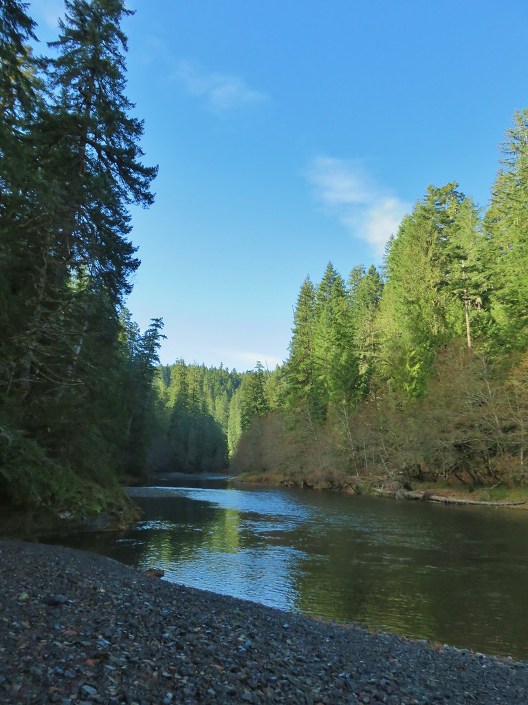
The Riverside Trail sets off at the far end of the campground following the Oak Grove Fork of the Clackamas River.


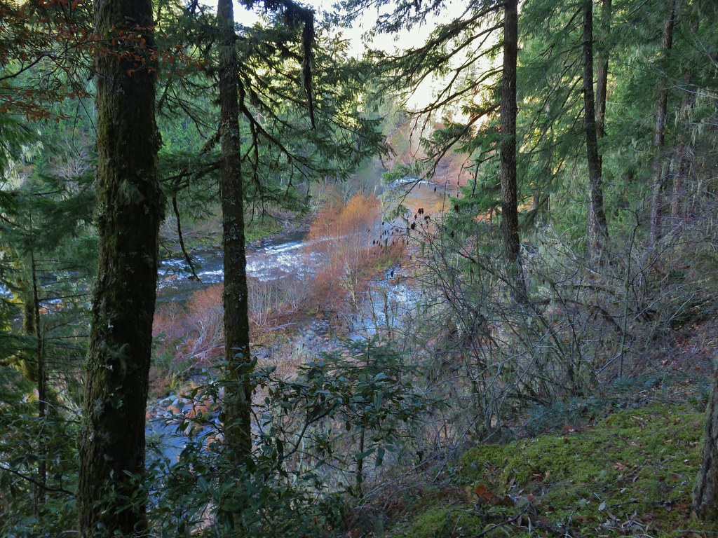
The trail climbs up to an overlook of the Clackamas River in the first half mile near the confluence of the two rivers. We both were a bit confused at first when we got to the overlook because the river was suddenly flowing in the opposite direction, then we remembered that is was a different river.
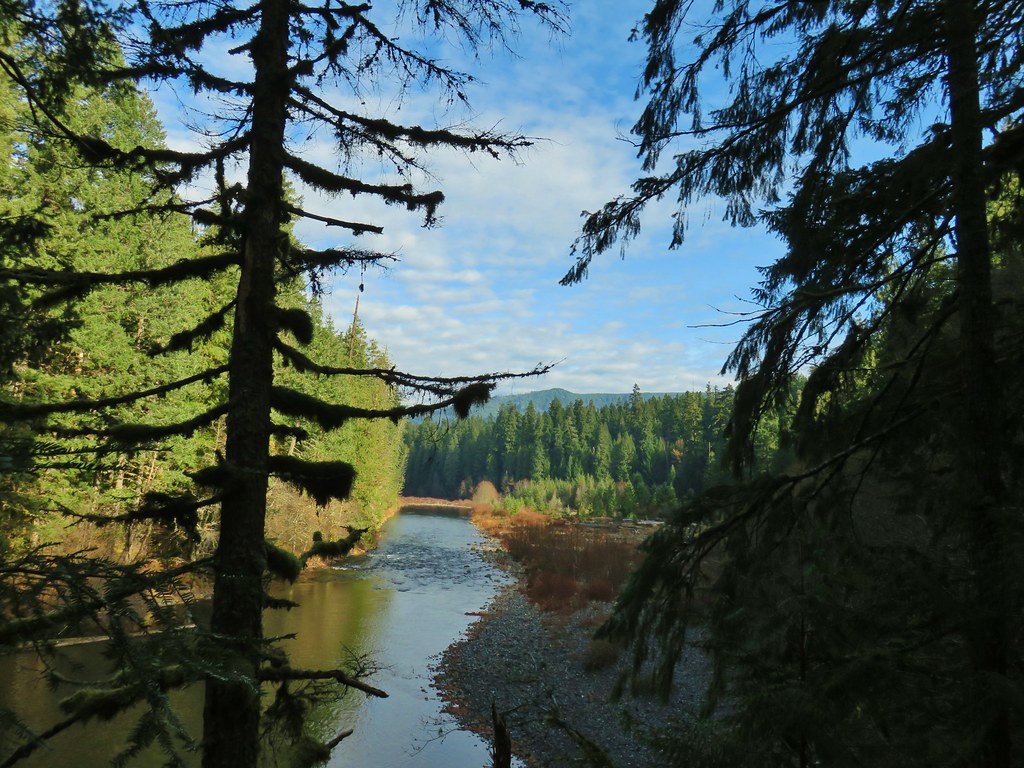
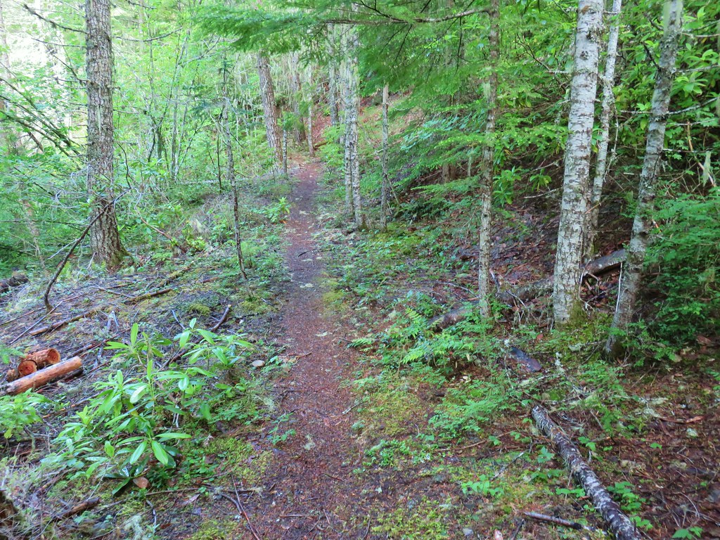
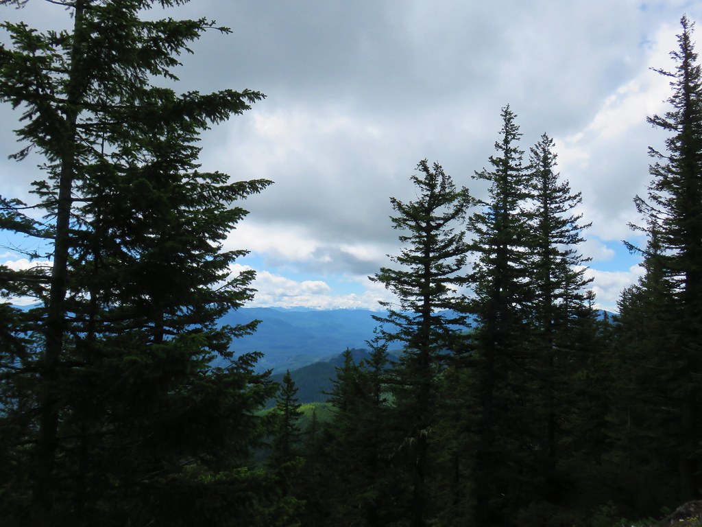
Beyond this first viewpoint of the Clackamas River the Riverside Trail continues a little over three and a half miles to its end at the Riverside Campground. Along the way the trail makes several ups and downs as well as dipping deeper into the forest occasionally to navigate side canyons. There were a number of viewpoints above the river as well as numerous chances to explore the river bank. The final mile and half (after passing a spur trail coming from the no fee Riverside Trailhead) did spend more time closer to paved Forest Road 46 but there wasn’t a lot of traffic and the scenery was still nice.
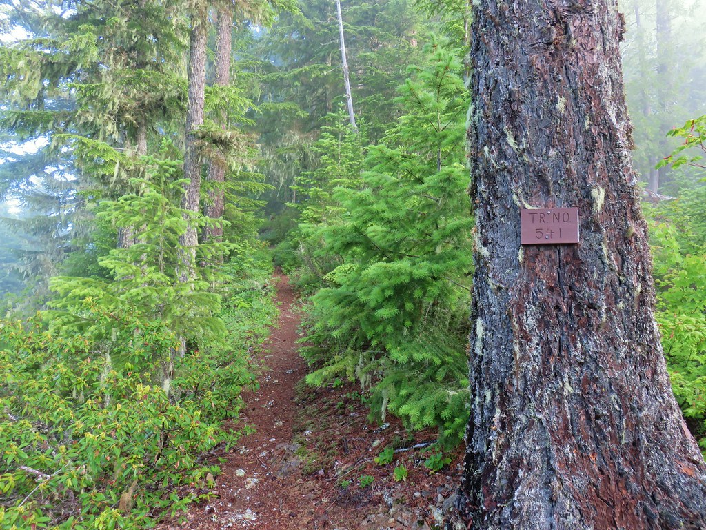
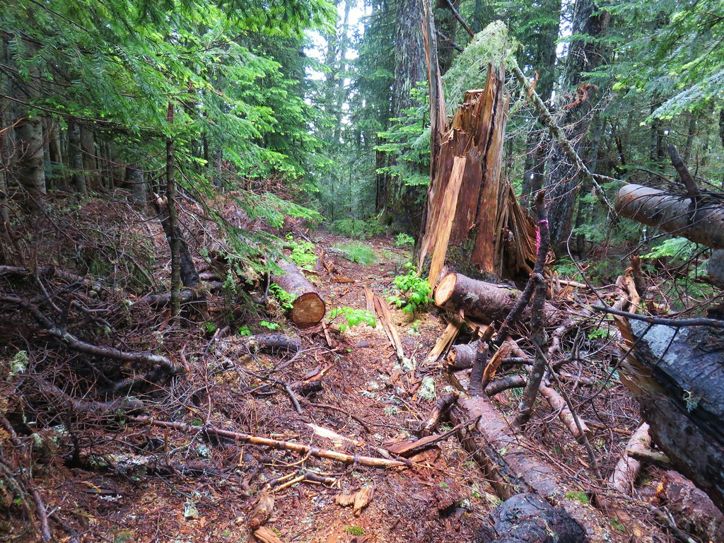
 In the forest for a bit.
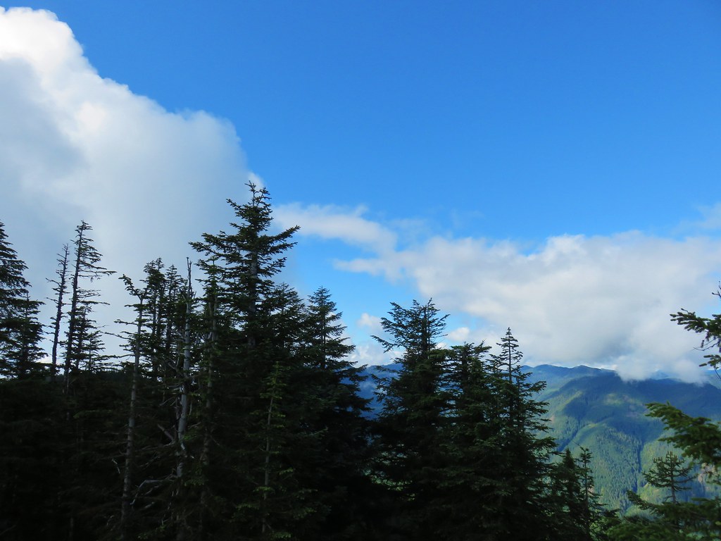
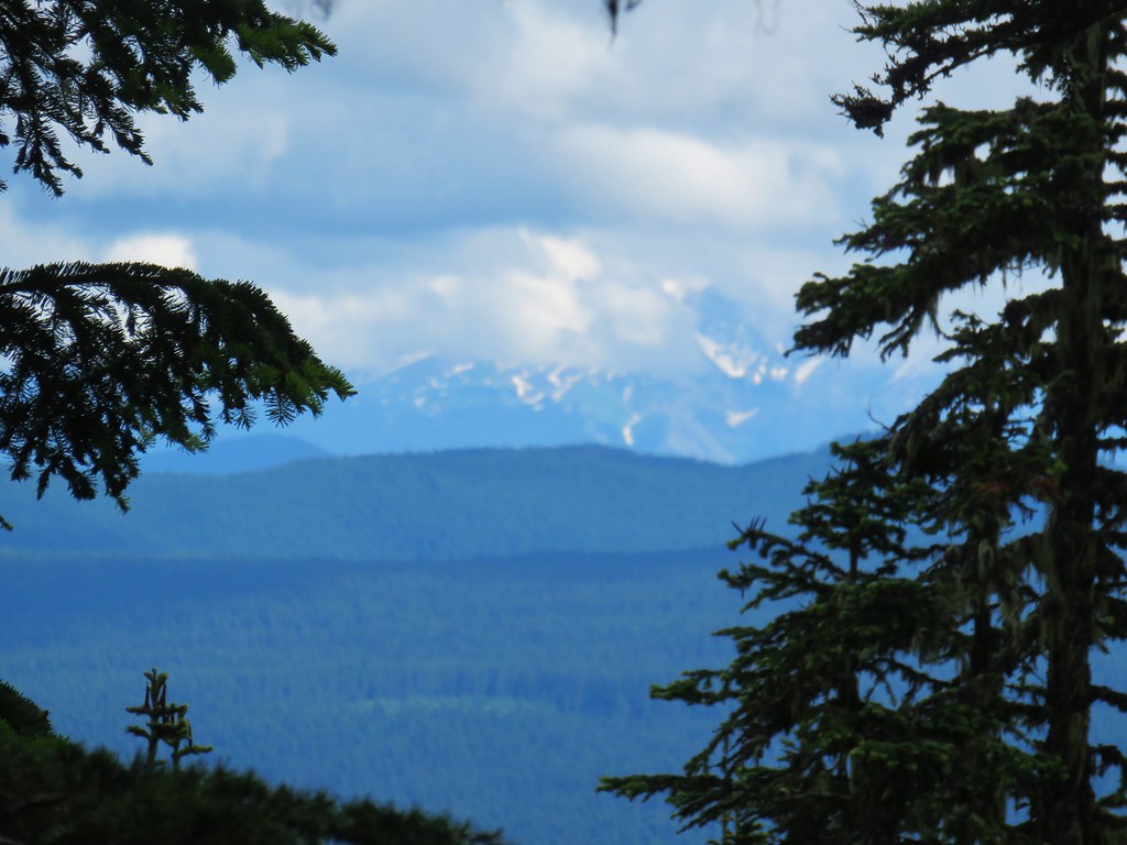
 Viewpoint from above.
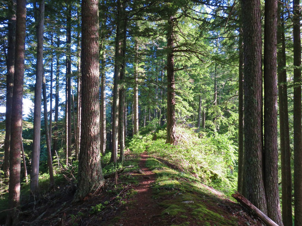
 Back in the forest.
 At the river.
 Sun peaking through the trees.
 one of several rock formations along the trail.
 Another view of the Clackamas.
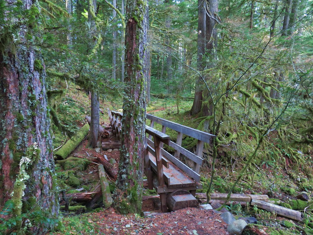 Side creek crossing.
 Back along the river.
 Rock pinnacle in the Clackamas River.
 Spur trail to the Riverside Trailhead.
 Viewpoint near the spur trail.
 Viewpoint near the spur trail.

 Another rocky beach along the Clackamas.
 Looking down river.
 Now from above the rock beach.
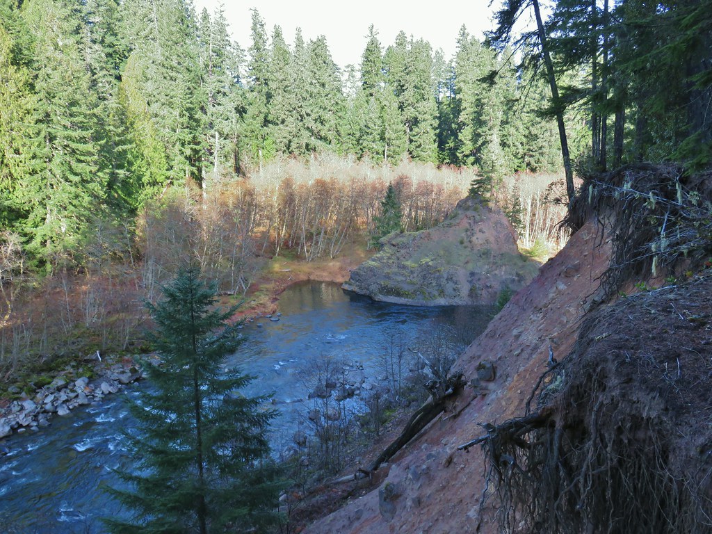
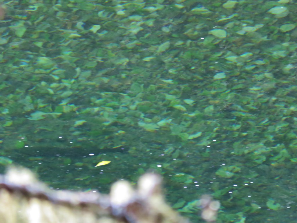
Just before reaching the end of the trail at the Riverside Campground the trail passed above a deep green hole.
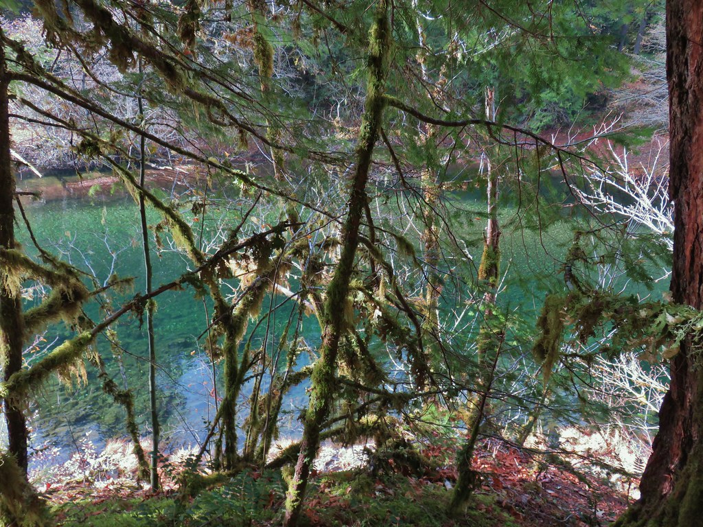
We’d been keeping our eyes open for fish all morning given how clear the river was but hadn’t seen any until we gazed into the water here. We spotted several large fish.

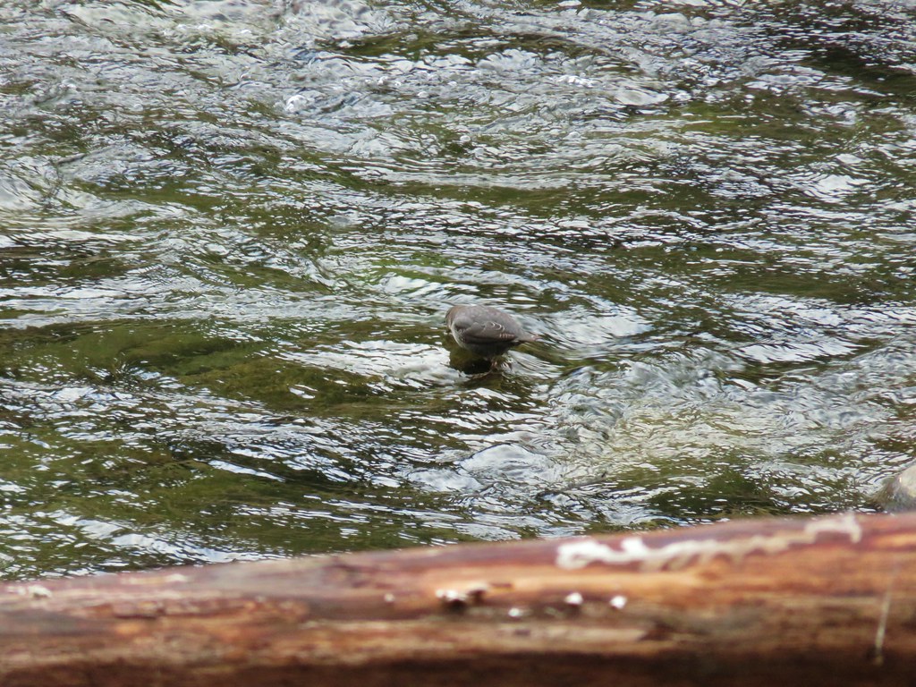
The trail descended from the viewpoint above the hole to the Riverside Campground where we watched an ouzel dip in and out of the river looking for snacks.


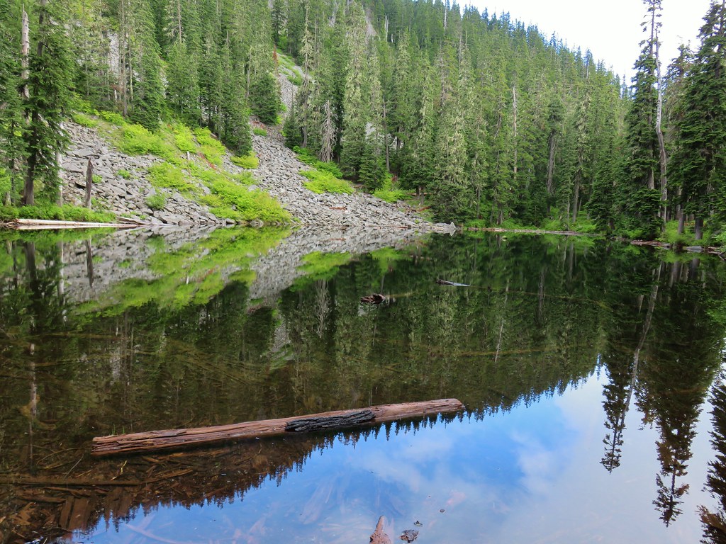
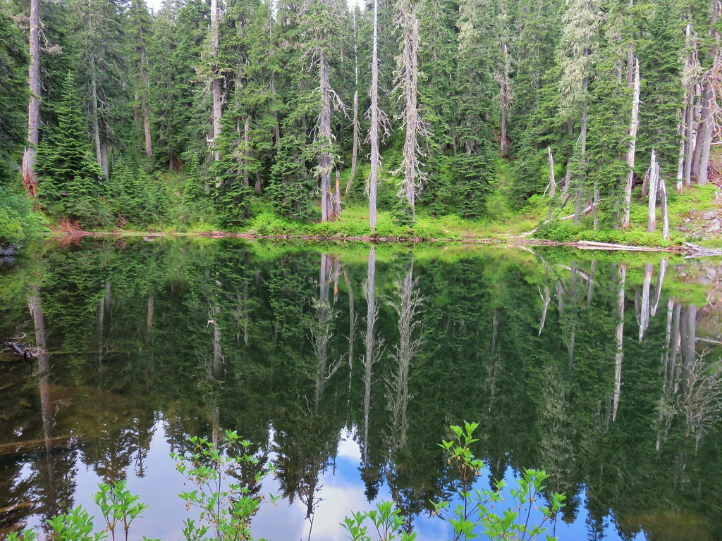
 Clackamas River at the Riverside Campground.
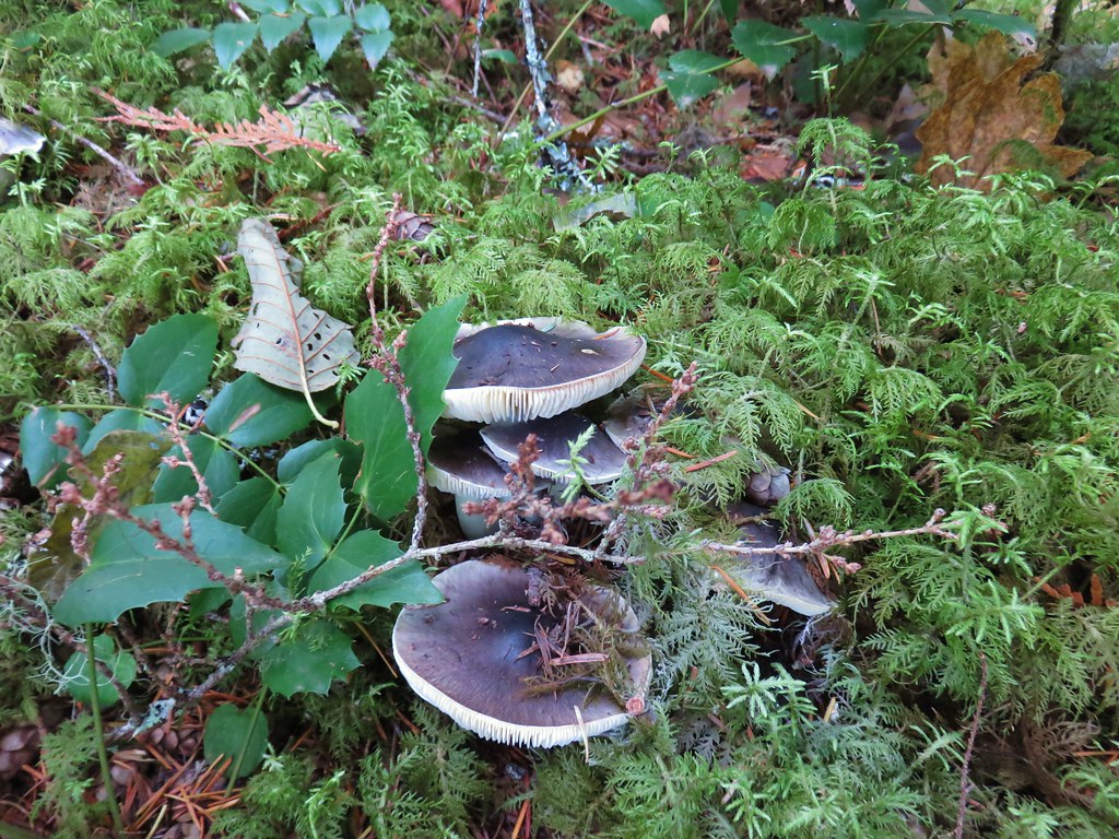
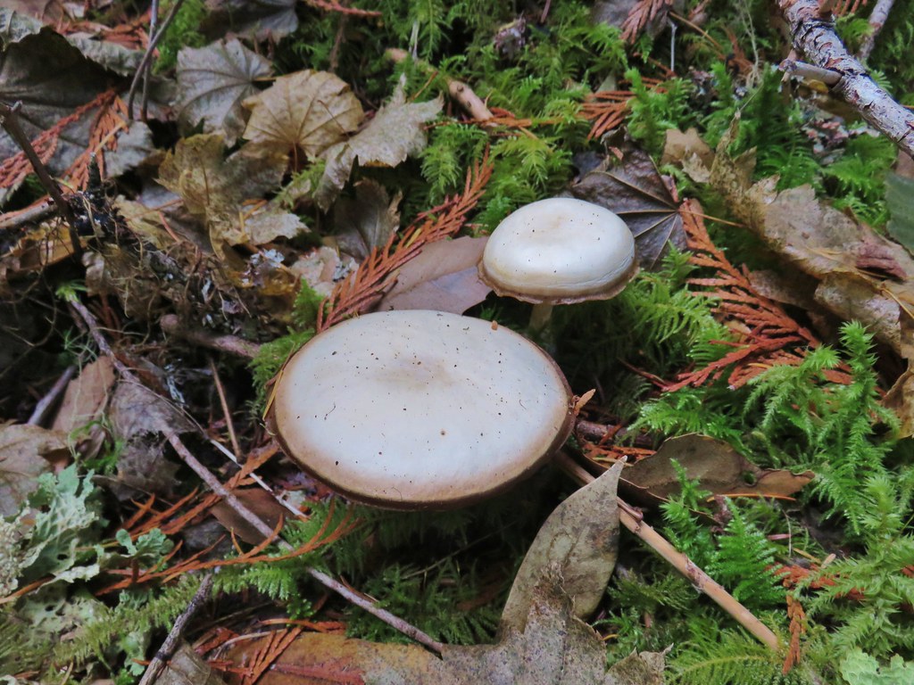
We headed back the way we’d come stopping to admire some of the mushrooms and fungi along the trail.


In addition to the fish we’d been on the lookout for rough skinned newts. As we stopped at a viewpoint looking across the river valley toward Fish Creek Mountain (post) we finally spotted one.


This is a very popular trail in the Summer based on the number of cars we’ve seen when driving past on the way home from other hikes. We didn’t see a lot of other hikers on this day although we did pass one group twice (near each end of the trail) and several others as we got close to the Rainbow Campground on the way back. The GPS said we did 9.5 miles which included several side trips along the river and to viewpoints as well as the .6 miles of road walking. For those looking for a shorter hike the Riverside Trailhead would be a good starting point or try the Alder Flat Trail which is only about 2 miles round trip.
With the Holiday Season quickly approaching it was nice to be able to get our November hike in early with such nice weather. We plan to head out once more next month to wrap up our 2019 hikes so until then Happy Trails!


 Columbine along the decommissioned road.
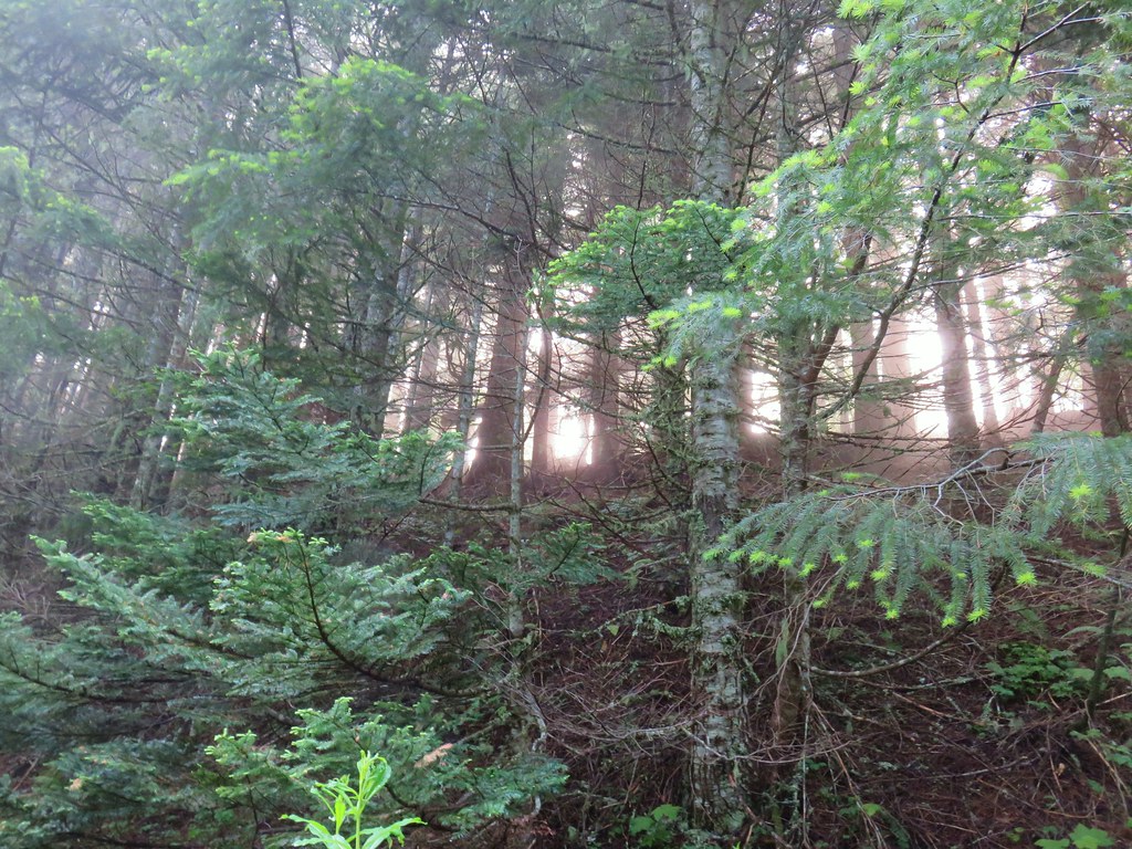


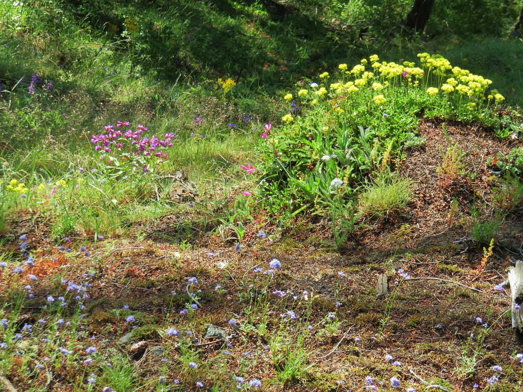

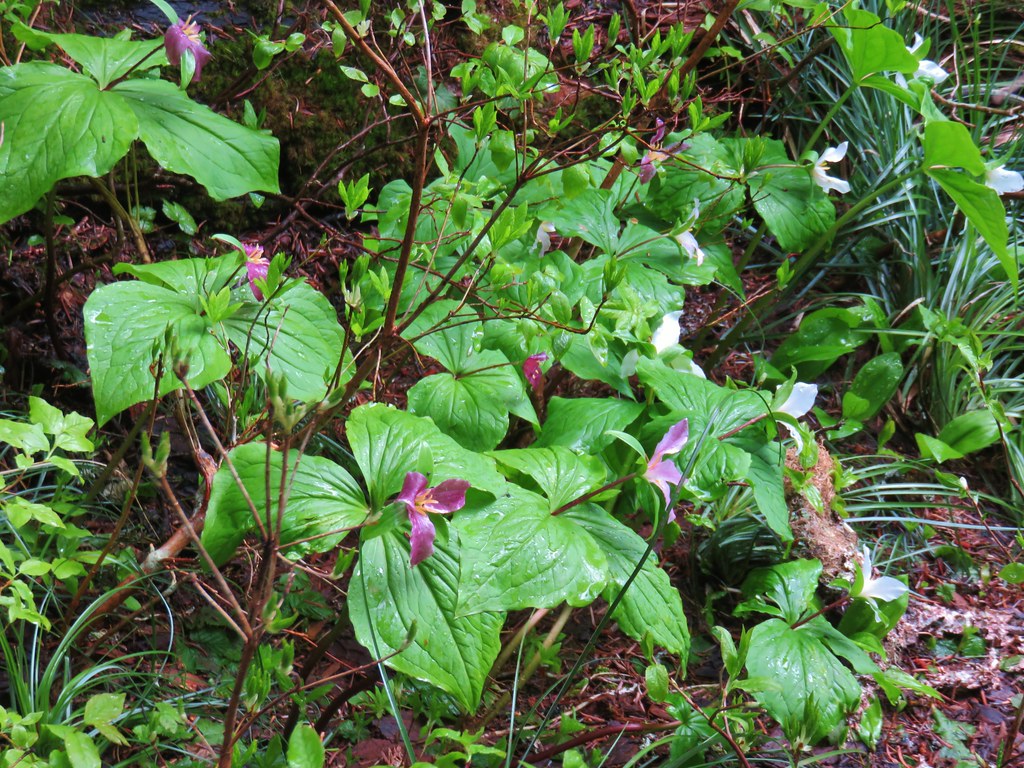
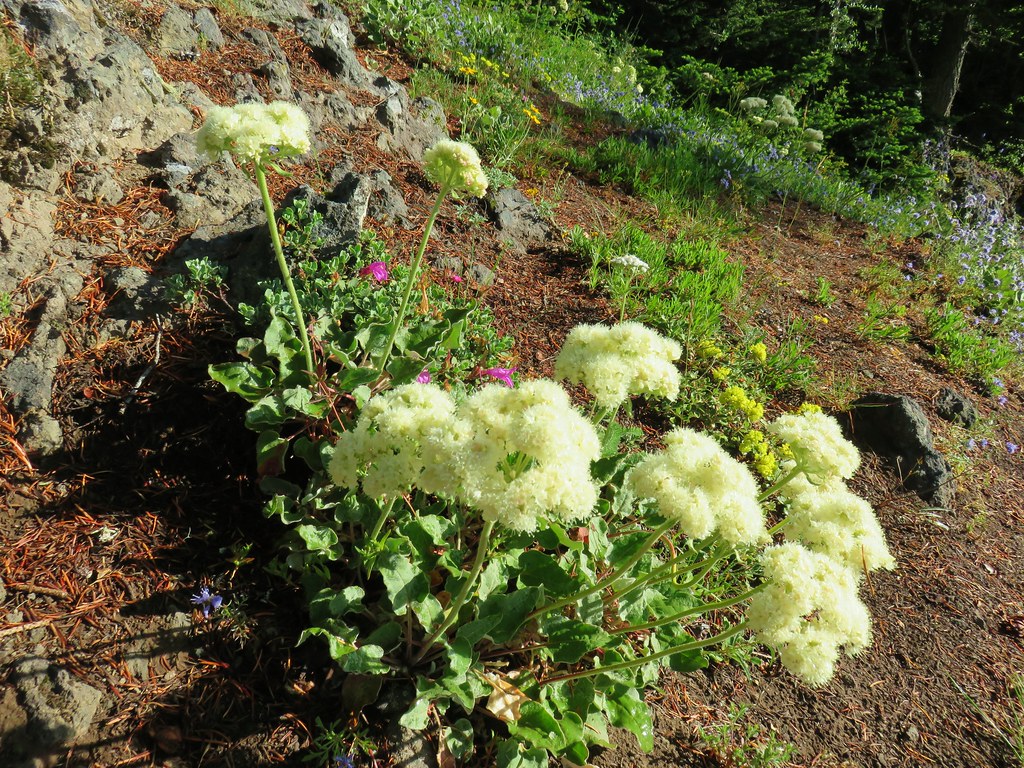 Buckwheat
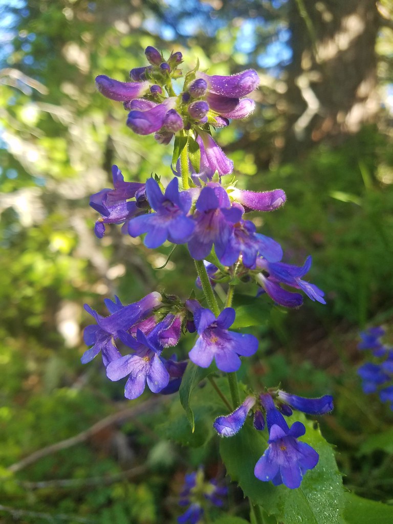 A penstemon
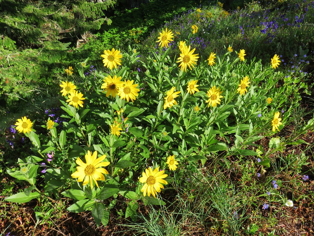 False sunflower
 A penstemon
 Oregon sunshine
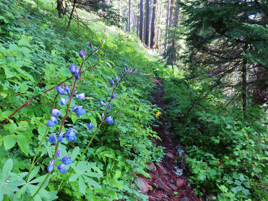
 Lupine among others
 Cliff beardstounge
 Catchfly
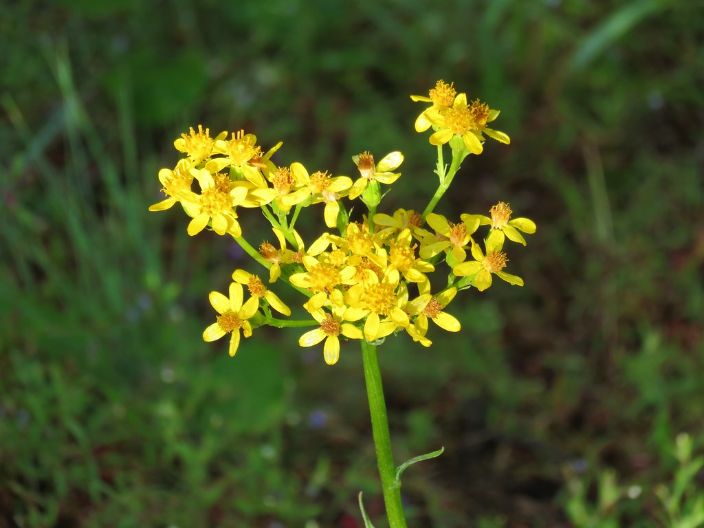 Groundsel
 blue head gilia
 Bleeding heart
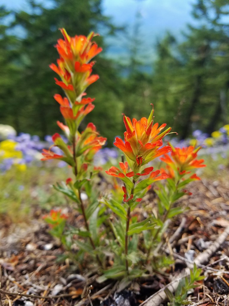 Paintbrush
 Woodland stars
 Larkspur and ballhead waterleaf
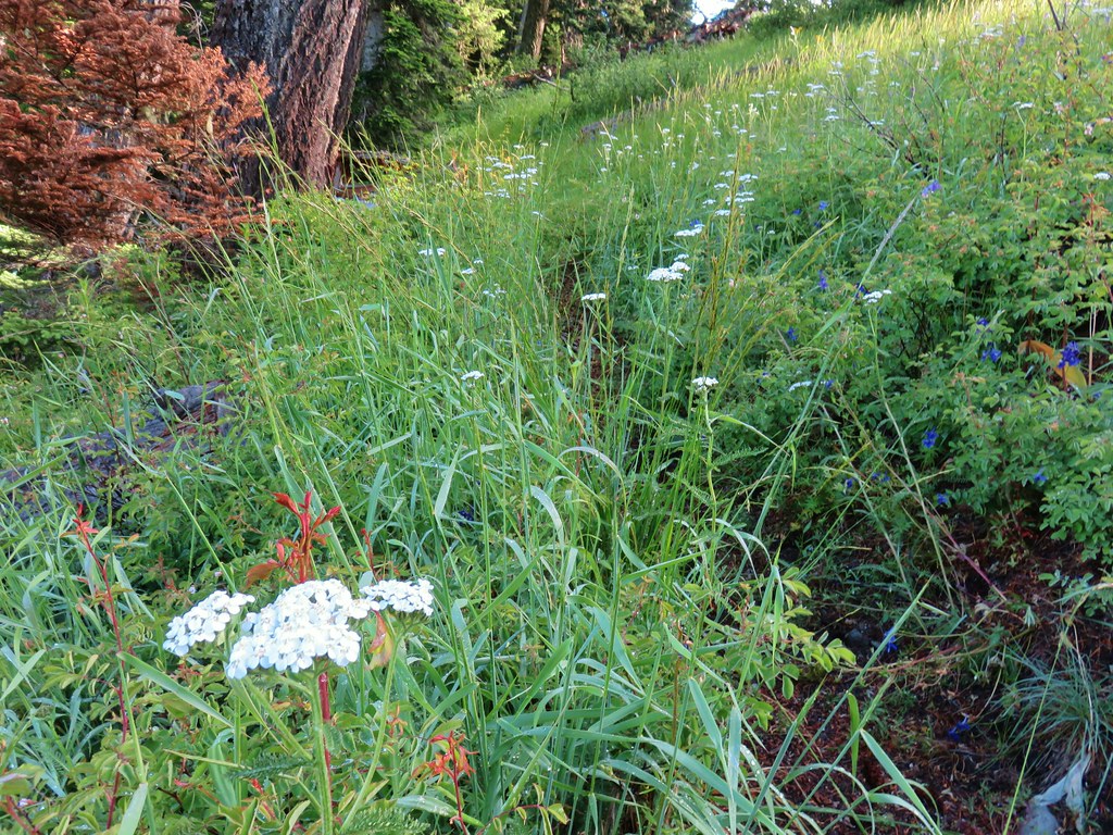
 Yarrow
 Valerian
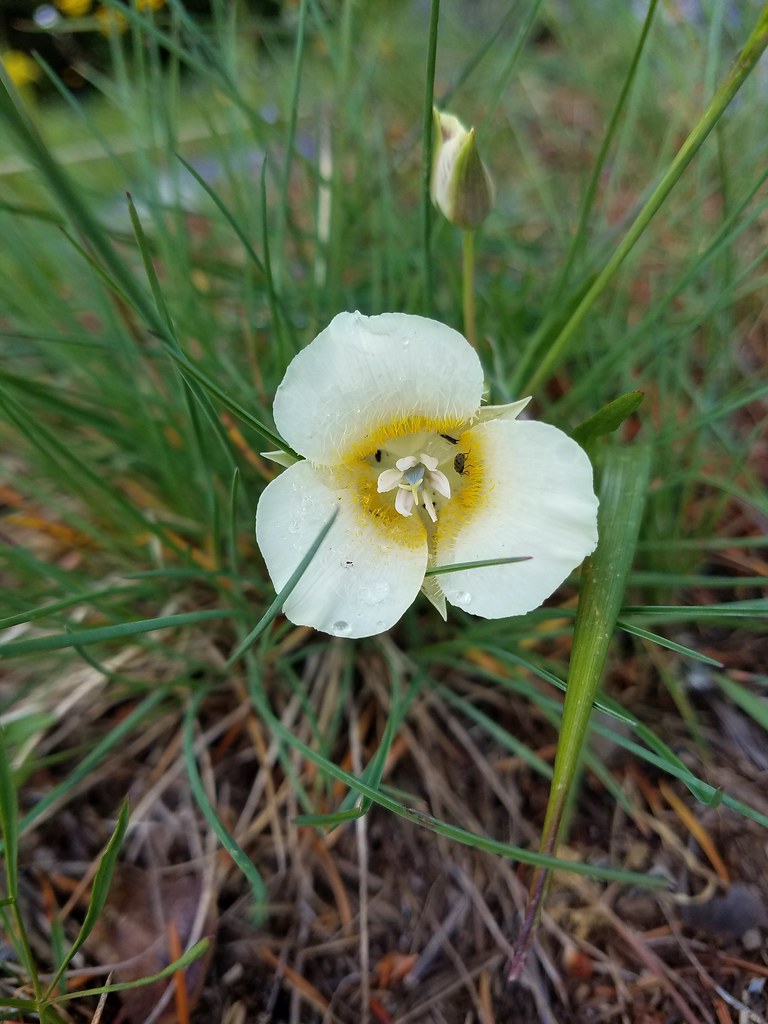 Cat’s ear lily
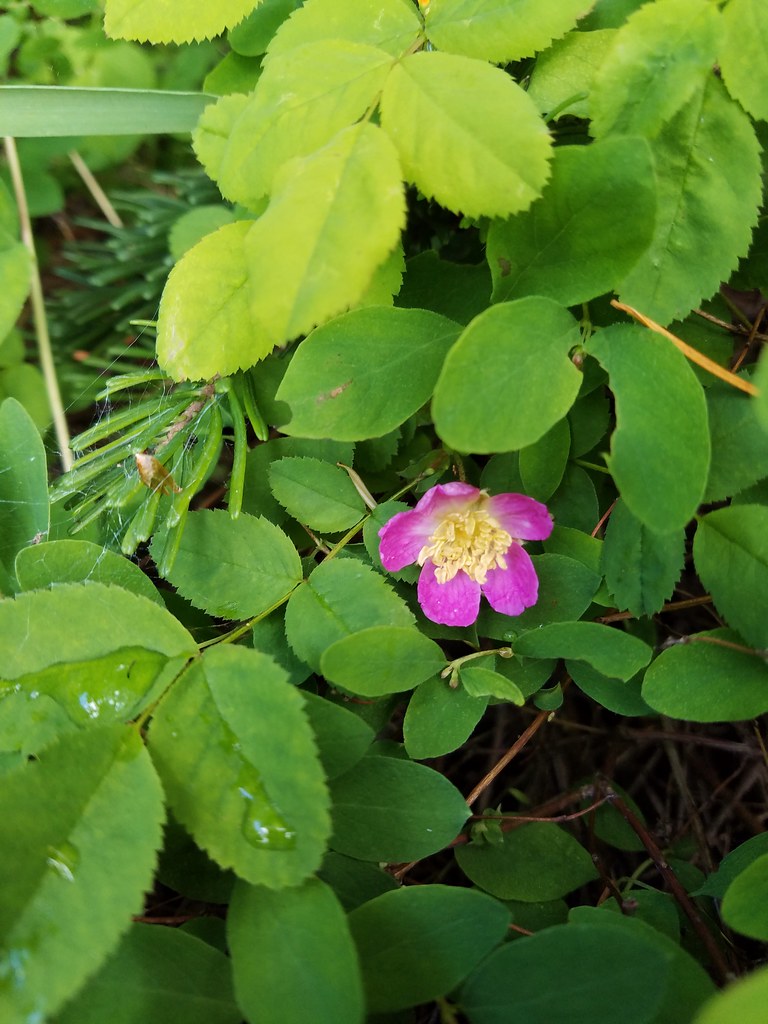 Wild rose
 Buckwheat in blue head gilia
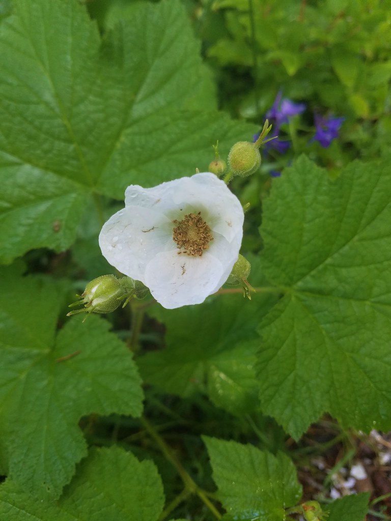 Thimbleberry
 Larkspur, leafy pea, and candy flower
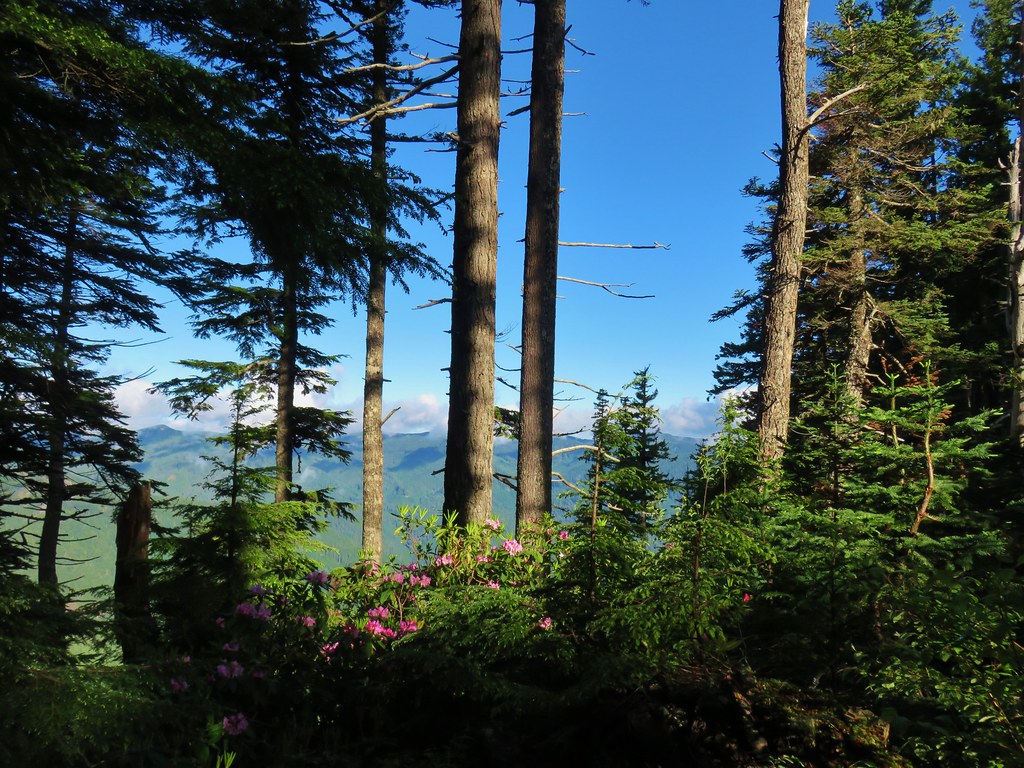
 Rhododendron (just around the corner from the outcrop)
 Star-flowered solomonseal
 Plumed solomonseal
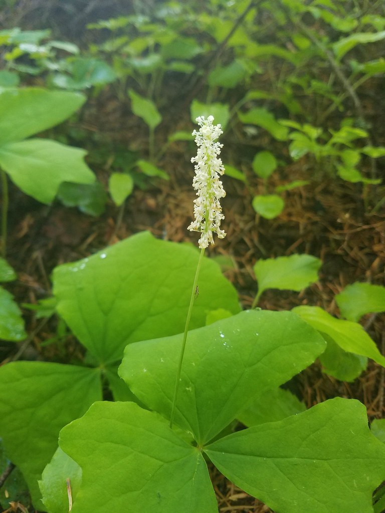 Vanilla leaf
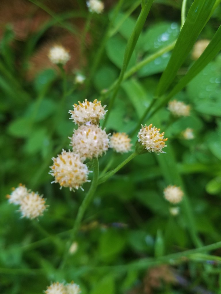 Pussytoes
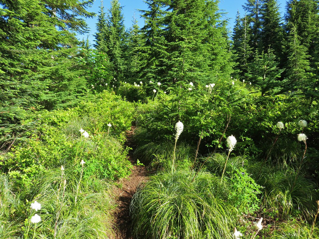
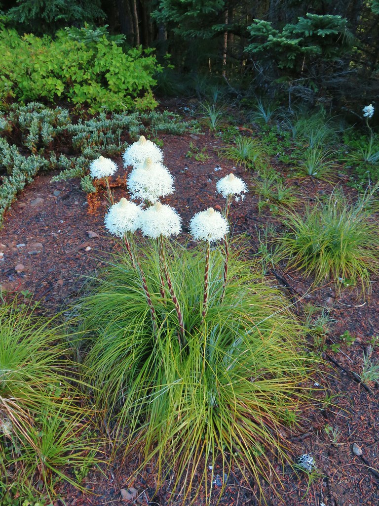
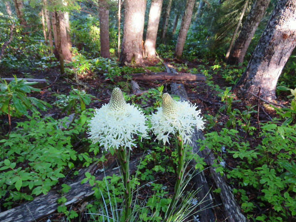 Beargrass
 Trail fork


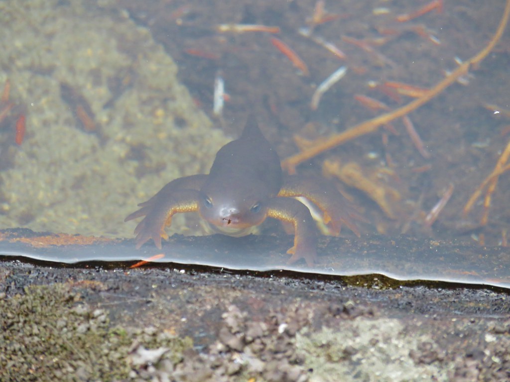 Curious newt
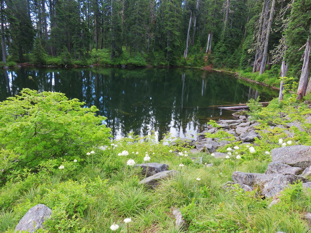
 Inside out flower
 Spotted coralroot
 Stripped coralroot
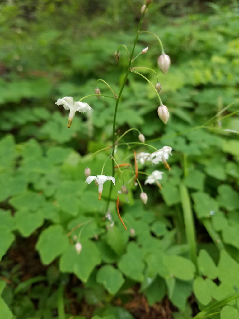
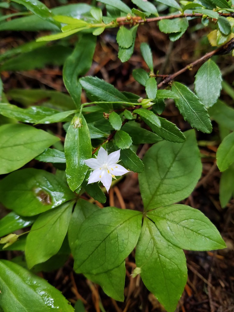 Starflower
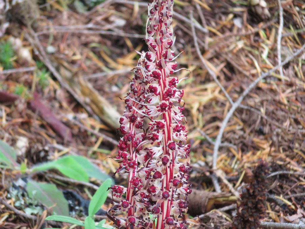 Candy sticks
 Wild strawberries