
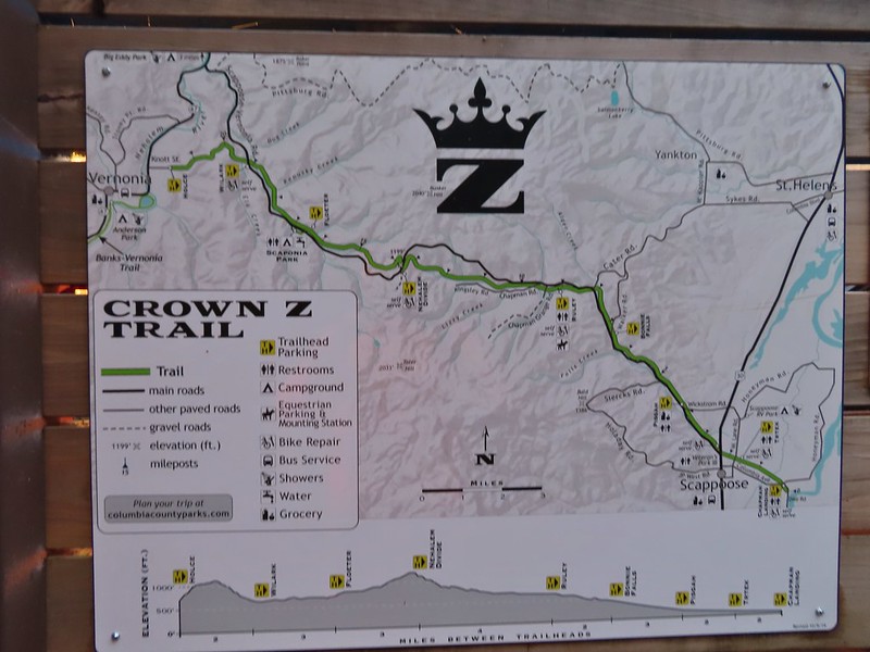
We hiked a segment of the 24.8-mile-long Crown Zellerbach (CZ), or Crown Z, Trail in March 2022 (post). For that hike we began at the Nehalem Divide Trailhead and hiked to the Wilark Trailhead. With another sunny, but cold, weekend forecast we decided it was time to check out more of the trail. For this visit our plan was to begin at the Ruley Trailhead and make the 4.5-mile hike to the Nehalem Divide Trailhead where we would turn around.
We arrived at the empty trailhead shortly after 7:30am on a frosty 26°F (-3°C) morning.


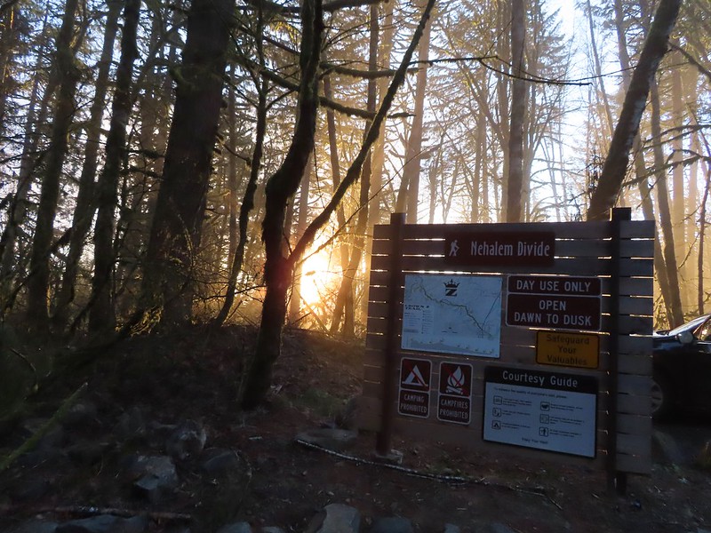
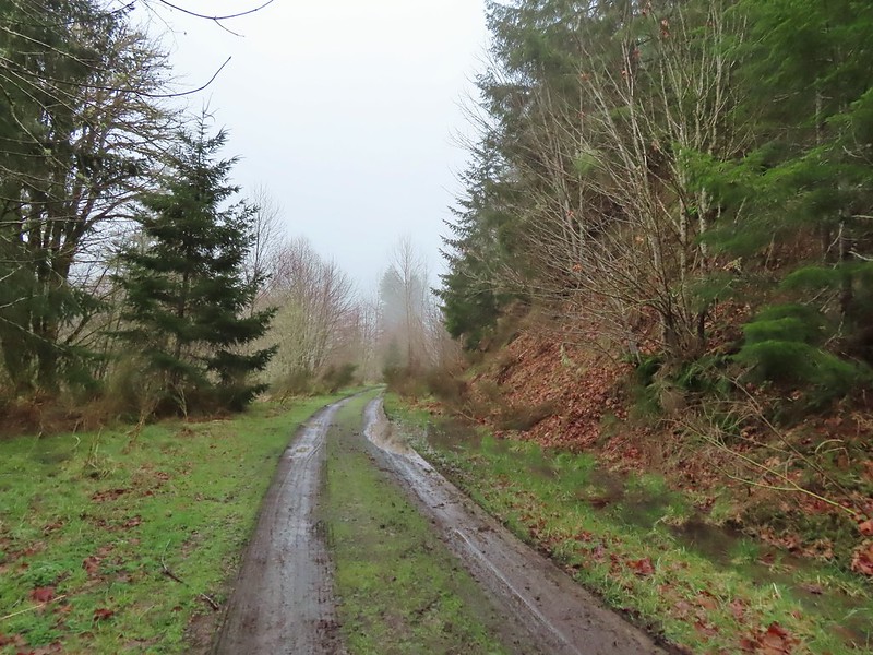
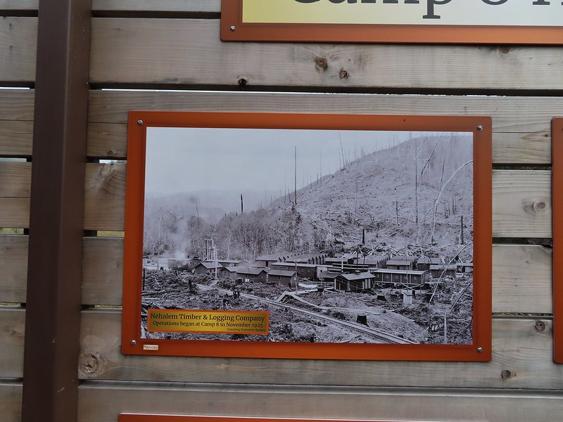
After stopping to view the interpretive signs here, we set off on the old logging road turned trail.

 1930 Caterpillar Model 30

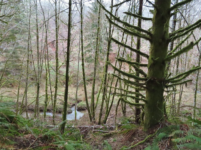
We followed the trail past several homes along North Scappoose Creek before entering a second growth forest.
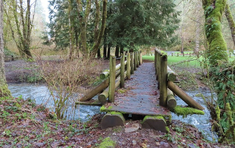
 Bridge over Cedar Creek.
 Cedar Creek
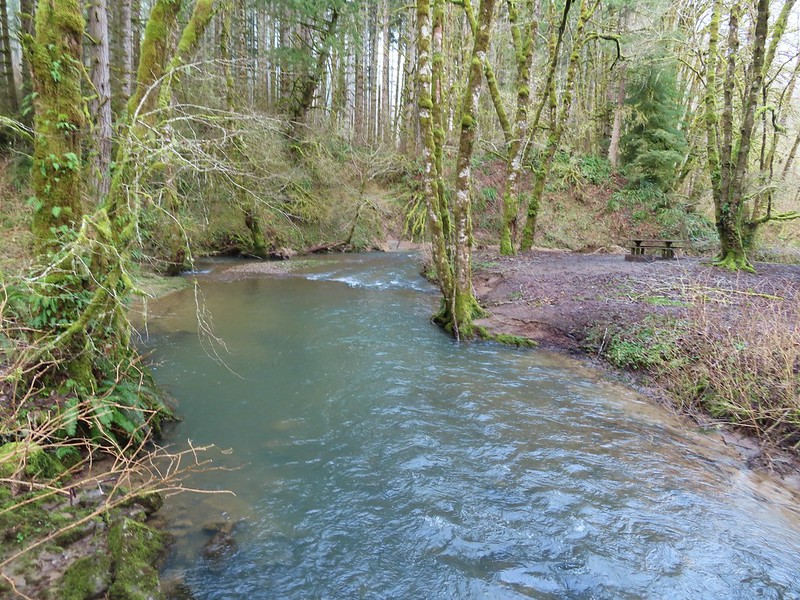
 North Scappoose Creek
 Sun hitting the top a hill in the distance.
 There was a lot of hair ice along the trail.
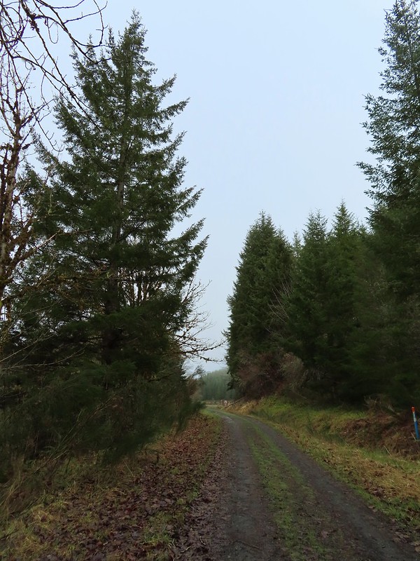
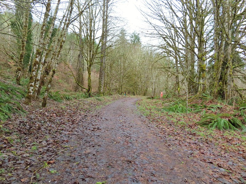
 Forest along the trail.
 One of several interpretive signboards along this segment.
The trail ascended gradually through the forest to a “Y” just below the Nehalem Divide Trailhead.
 While the Sun was out the trail remained mostly shaded and therefore cold. We both would have benefited from some slightly warmer layers.
 Hair ice
 More hair ice
 Another interpretive sign ahead.
 MP 13
MP 13
 The Nehalem Divide TH on the left and the Crown Z Trail continuing on the right.
 I believe that is Silver Star Mountain (post) in the distance.
On our way back we kept our eyes open for a use trail that reportedly led down to the eastern end of the abandoned Nehalem Divide Railroad Tunnel. We had visited the west portal in 2022 and thought it might be fun to see the other end. The OregonHikers Field Guide mentioned a red paint dot on a tree 30 yards from a green trail marker, but we didn’t see any such markers in the area where the use trail might be or any red dot on the west side of the trail. There was a red “A” and other markings on a tree along with an apparent use trail that may have been what we were looking for, but after a quick look at the terrain we opted not to go exploring.

We continued back to the trailhead passing roughly a dozen other users, mostly cyclists, before reaching our car.

 North Scappoose Creek winding past a private home.
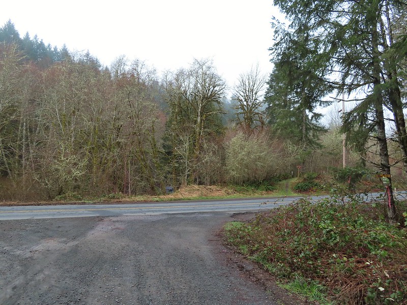
 The Ruley Trailhead ahead.
Our hike today came to 9.2-miles with a little under 700′ of elevation gain.

The Crown Z may not be the most exciting trail out there, but it offers plenty of distance opportunities and some easy, peaceful hiking. The interpretive signs providing history and insight to the area are a plus and so is the fact that the trail is accessible year around. We plan on eventually hiking the entire trail which we should be able to do in three more segments. Happy Trails!
Flickr: Crown Z Trail – Ruley TH to Nehalem Divide

 Heading down the connector trail.
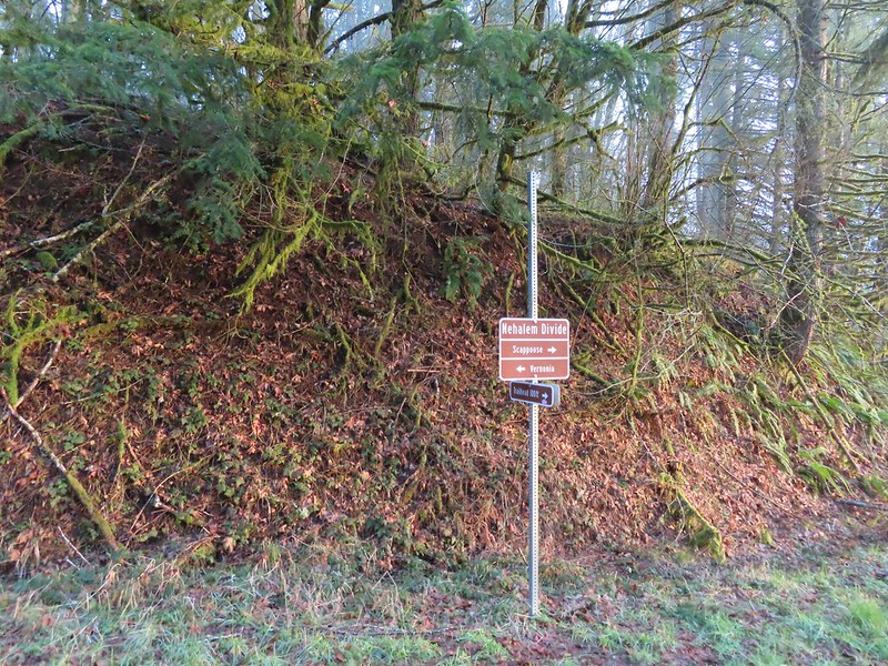 Trial sign at the jct with the CZ Trail.
 CZ Trail passing under the highway.


 Light from the eastern portal is visible at the other end but the tunnel is not safe to enter without at least a hard hat.

 The East Fork Nehalem River next to the trail.
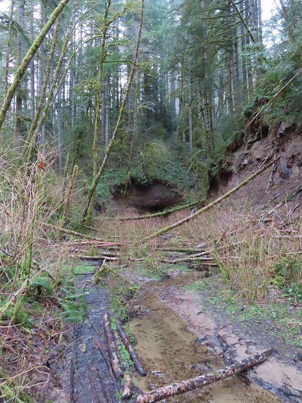
 It was a little muddy in places.
 Another of several interpretive signs along the trail.
 Not much in the way of flowers yet but there were a few indian plum starting to blossom.


 East Fork Nehalem River
 Pointer for the CZ Trail in Scaponia Park

 American kestral

 Robin in the meadow that once was Camp 8.
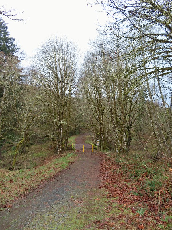

 The orange mile marker 19 ahead.
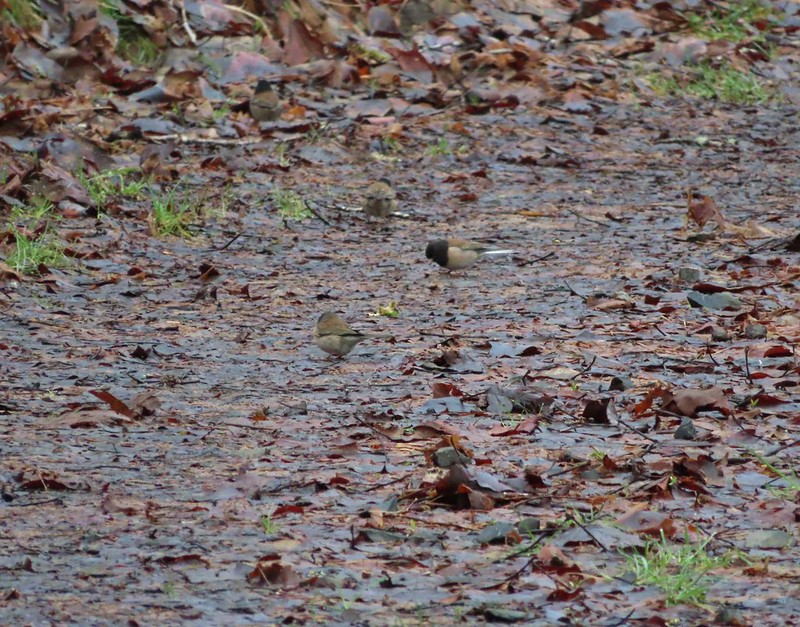 Juncos
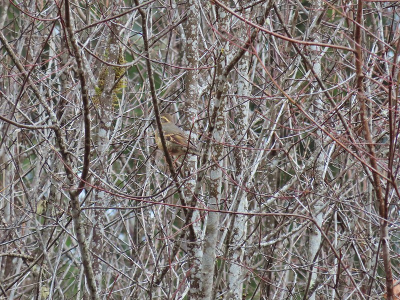 Another not great picture of a varied thrush.
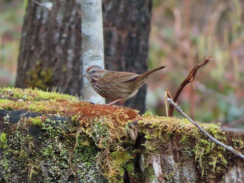 Sparrow
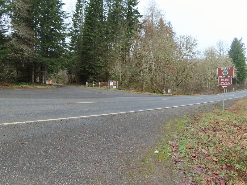


 A grey jay enjoying the emerging sunlight.
 Blue sky near the Floeter Trailhead.
