
So far in 2022 the first Saturday of every month has come with a dry and at least partially sunny forecast which meant for the third month in a row we took our hike on the first weekend. We tend to take for granted the opportunities we have to get out and enjoy nature but this outing was different. For more than a week we’ve watched as the Ukrainian people have been forced to fight for their freedom and country. We continue to pray for their safety and an end to Russian aggression.
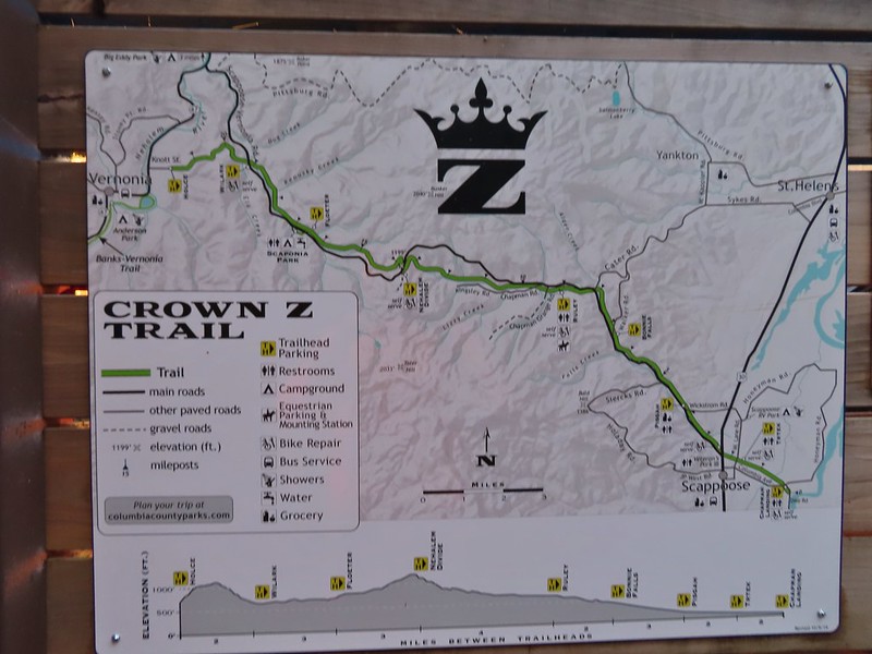
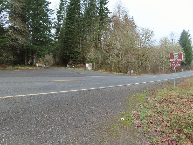
For our March hike we decided to check out the Crown Z Linear Trail, also known as the CZ Trail or Crown Zellerbach Trail. The 24.8 mile long CZ Trail runs between the cities of Vernonia and Scappoose following former (and sometimes active) logging roads open to hikers, bicycles and horses. Multiple trailheads make it possible to hike shorter segments as either out-and-backs or between trailheads using a second car. For our first visit we used the Oregon Hikers field guide which breaks the trail up into five sections. We picked section four, the East Fork Nehalem River Section, which runs between the Nehalem Divide and Wilark Trailheads.
We began at the Nehalem Divide Trailhead which provided the shorter drive of the two and also allowed us to begin the day with a downhill.
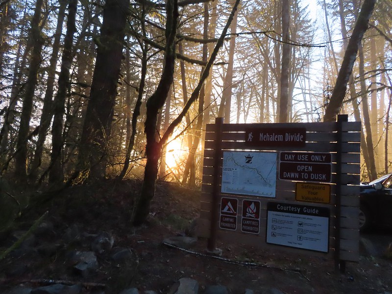
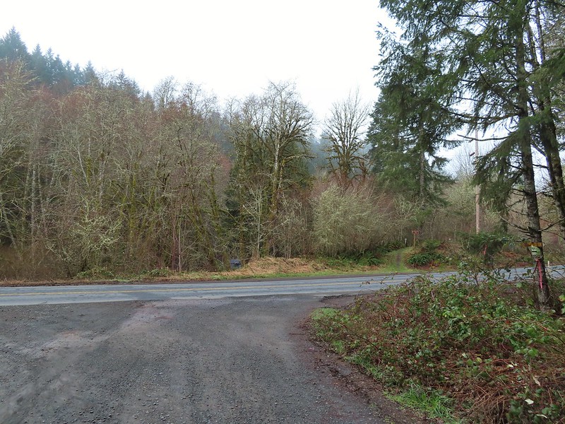
A 100′ path leads downhill from the trailhead to the CZ Trail which passes under the Scapoose-Vernonia Highway (if you’re heading toward Vernonia).
 Heading down the connector trail.
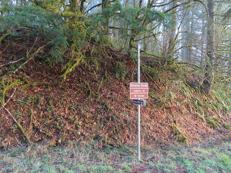 Trial sign at the jct with the CZ Trail.
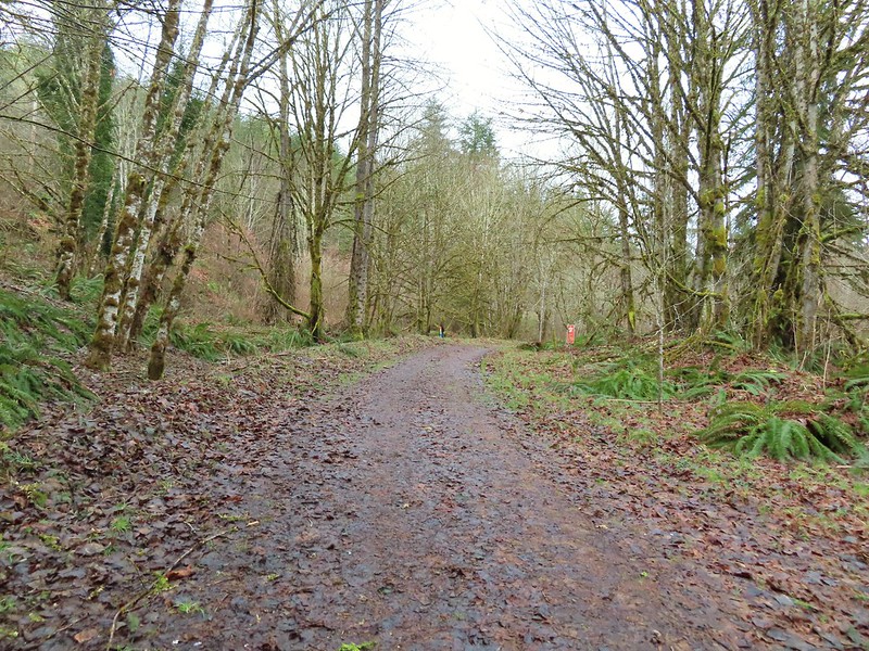
 CZ Trail passing under the highway.
We followed the road downhill for approximately 3/4 of a mile to an interpretive wildlife sign where a path behind led downhill to the East Fork Nehalem River. The river isn’t much as it isn’t far from the headwaters, but a short distance up river is a pair of small waterfalls with the western end of the Nehalem Divide Railroad Tunnel.


 Light from the eastern portal is visible at the other end but the tunnel is not safe to enter without at least a hard hat.

After checking out the old tunnel we returned to the CZ Trail and resumed our hike toward the Wilark Trailhead.

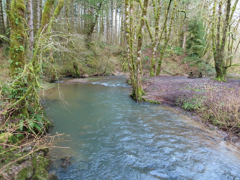
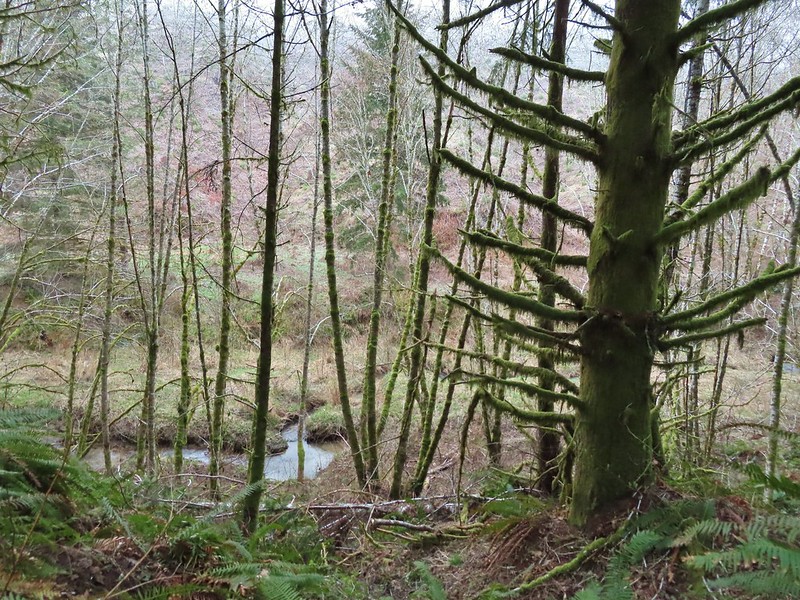 The East Fork Nehalem River next to the trail.
We detoured again briefly to check out a small seasonal fall just off the trail.

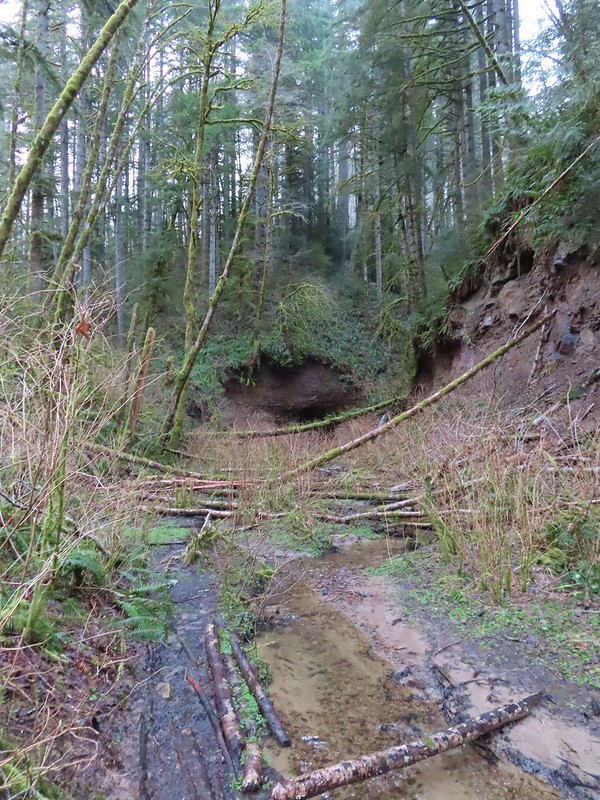
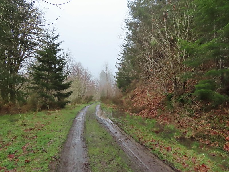 It was a little muddy in places.
 Another of several interpretive signs along the trail.
 Not much in the way of flowers yet but there were a few indian plum starting to blossom.
A little under four miles from the Nehalem Divide Trailhead we arrived at the Floeter Trailhead.


Beyond this trailhead the CZ Trail immediately crossed an unnamed creek on a bridge.


After crossing the bridge we detoured here yet again passing over the highway to a small trail sign for Scaponia Park.

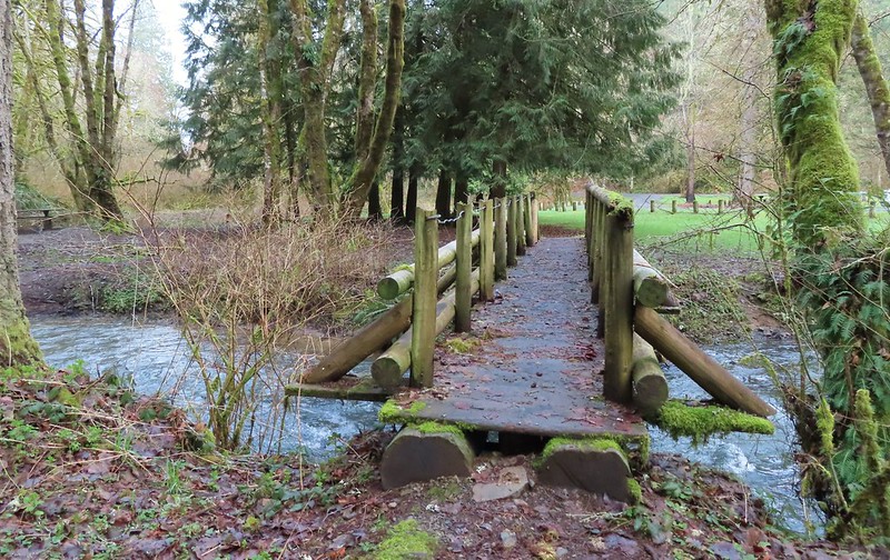
This short path dropped us into the 7 acre park which has 12 campsites and a short network of trails. We turned right on the park entrance road then crossed the East Fork Nehalem River on a footbridge to do a short 0.4 mile loop utilizing a second footbridge to return to the road near the campground.


 East Fork Nehalem River
After our little loop we returned to the CZ Trail and continued west.
 Pointer for the CZ Trail in Scaponia Park

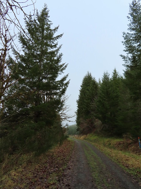
For the next three quarters of a mile the trail parralled the highway.

 American kestral
The trail veered away from the highway again after the highway crossed the river putting it between the road and the trail.

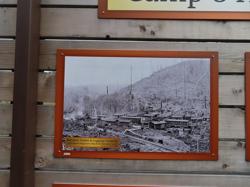
Just over two miles from the Floeter Trailhead we arrived at the former site of Camp 8, a logging camp established in the 1920’s.

 Robin in the meadow that once was Camp 8.
Beyond the Camp 8 site the trail crossed the East Fork Nehalem River then climbed to the highway passing mile marker 19 along the way.

 The orange mile marker 19 ahead.
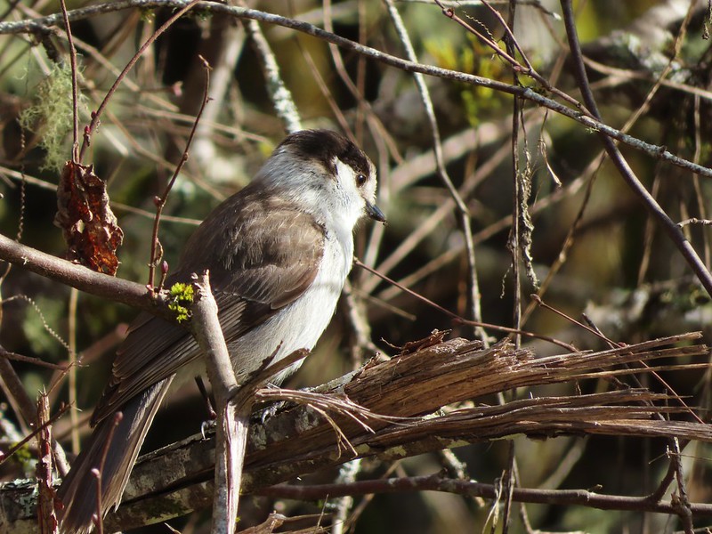
This short section was full of birds.
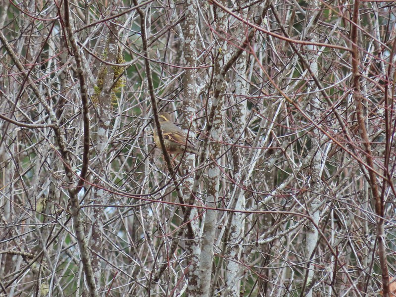
 Juncos
 Another not great picture of a varied thrush.
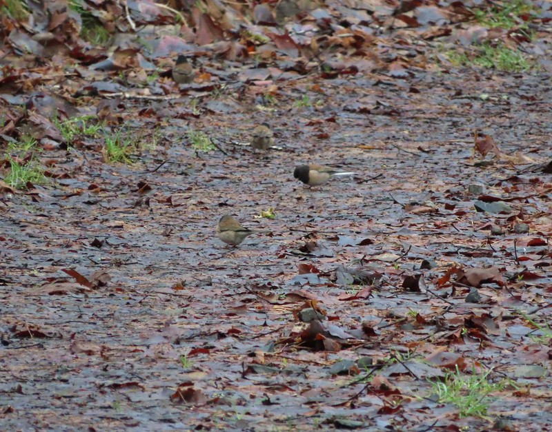
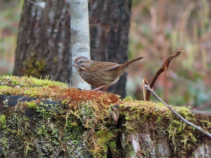 Sparrow
We turned around at the highway and headed back.

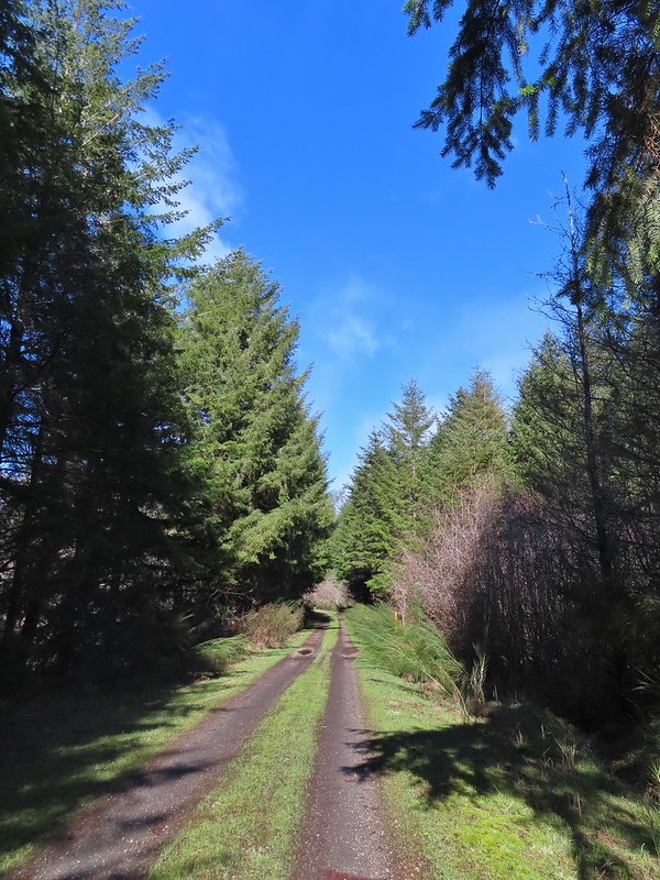
The clouds finally began to break up after we passed Camp 8 and soon we found ourselves under a bright blue sky.

 A grey jay enjoying the emerging sunlight.
 Blue sky near the Floeter Trailhead.
Surprisingly until the final tenth of a mile we hadn’t seen a single other trail user when a lone mountain biker zoomed past us heading downhill. Including our three detours our hike came in at 12.7 miles with a little over 650′ of elevation gain. A good early season workout with some nice scenery and interesting history.

At some point down the road we will return to do another section of the trail but for now this was a fun introduction to CZ Trail. Happy Trails and Slava Ukraini.

5 replies on “Crown Zellerbach (CZ) Trail – East Fork Nehalem River Section 03/05/2022”
We are curious – in all your years of hiking, have you ever encountered bears or cougars?
We’ve seen 13 black bears. 11 on trail and 2 driving to the trailhead. They all ran off as soon as they saw us. No cougars (yet)
Missed one. 12 bears from the trail
[…] with 65 planned hiking days and have completed 4 so far: (Balch Creek, Yakona Nature Preserve), CZ Trail – East Fork Nehalem River Section, and Balfour-Klickitat & Lower Klickitat Trail. That number includes hikes in Washington and […]
[…] hiked a segment of the 24.8-mile-long Crown Zellerbach (CZ), or Crown Z, Trail in March 2022 (post). For that hike we began at the Nehalem Divide Trailhead and hiked to the Wilark Trailhead. With […]