**Note the 2024 Warner Peak Fire burned over the Warner Overlook.**
We took our second outing to the Hart Mountain National Antelope Refuge in three short hikes. The temperatures were still expected to be high and Wednesday also provided the best chance for afternoon thunderstorms so we wanted to be done early for the day.
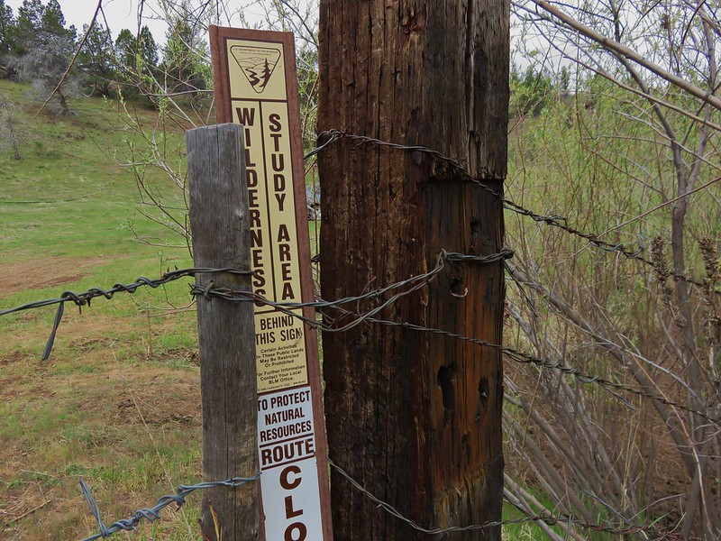
Our first hike for the day was Petroglyph Lake. As I mentioned in our previous post the Petroglyph Lake Road was closed so we had to decide how we wanted to get there. The easiest choice would have been to walk the closed road for 1.6 miles to visit the lake but Sullivan described a 5 mile off trail loop that not only visited the lake but also a viewpoint along Poker Jim Ridge. We picked the loop and parked along Hart Mountain Road near the signed Hill Top Reservoir Road.

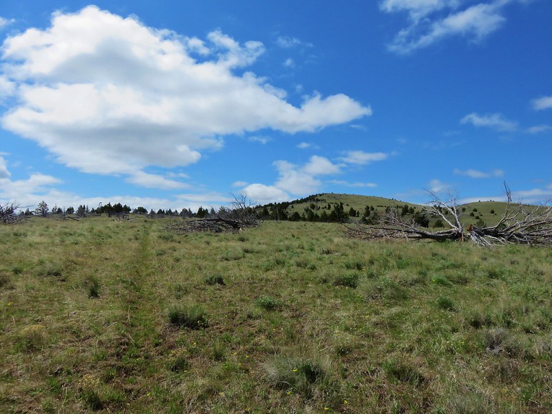
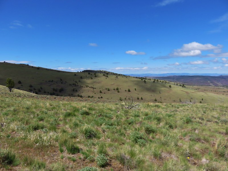
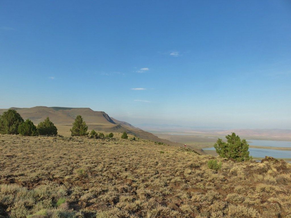
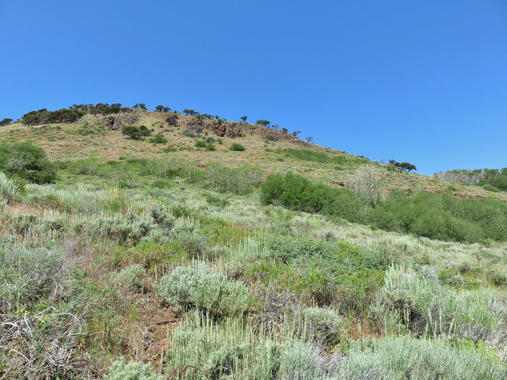
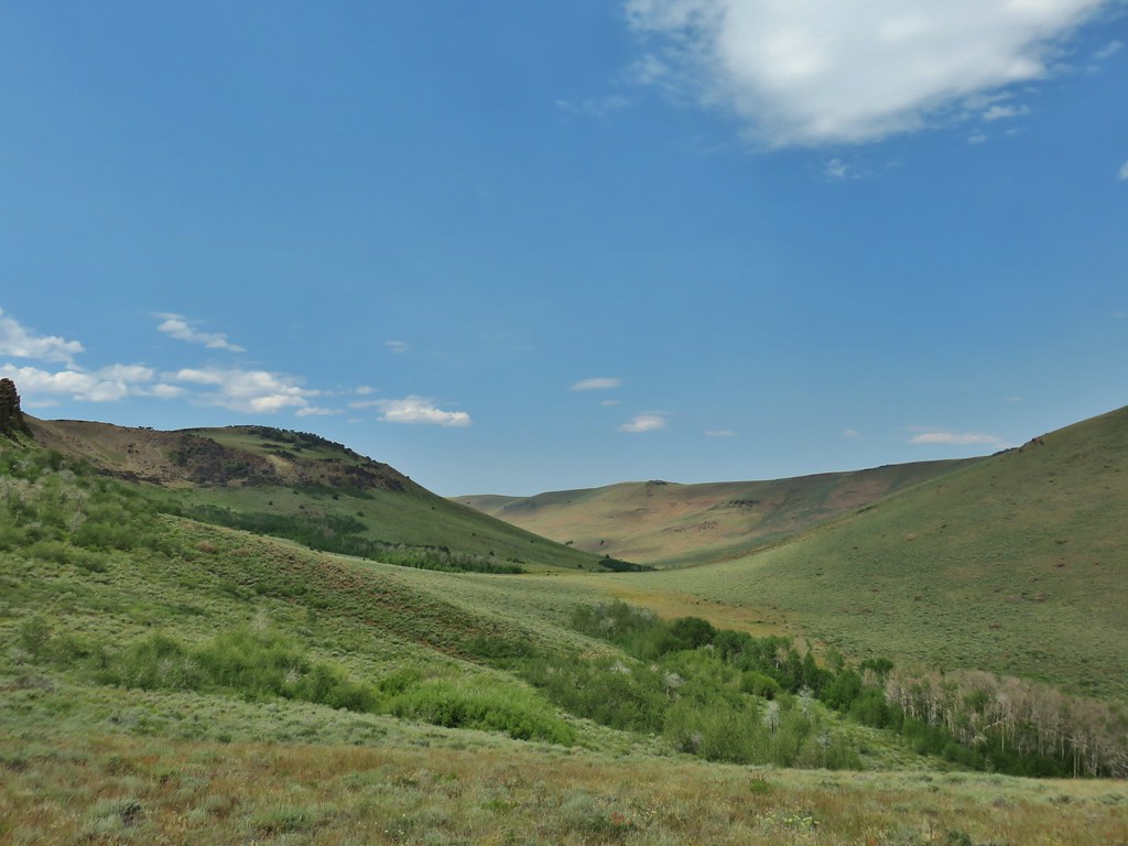
Looking across Hart Mountain Road we could see the small juniper covered knoll along Poker Jim Ridge that we were going to be aiming for.
 The knoll is the lower rise to the left.
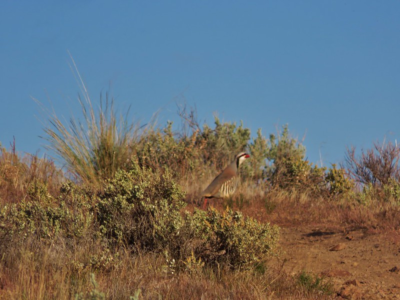
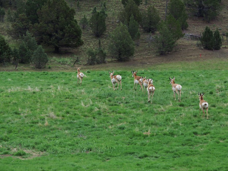
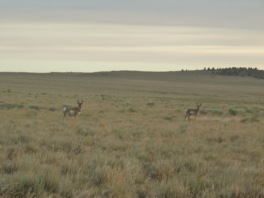
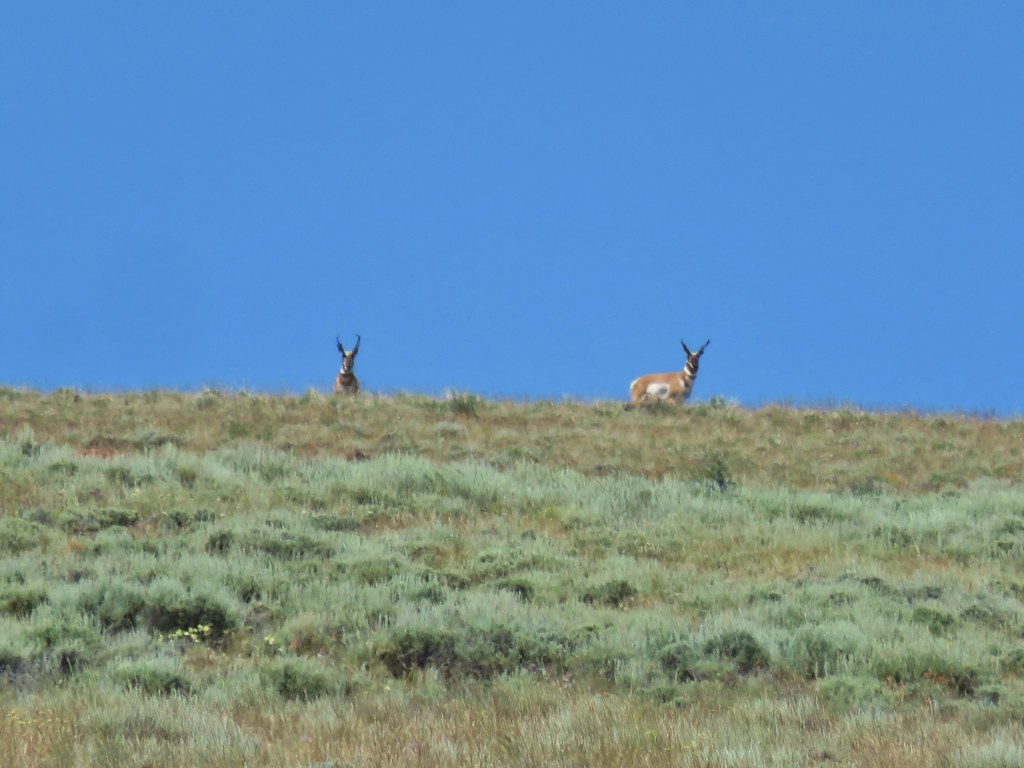
There was a lone pronghorn grazing in the morning light.

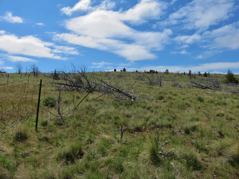
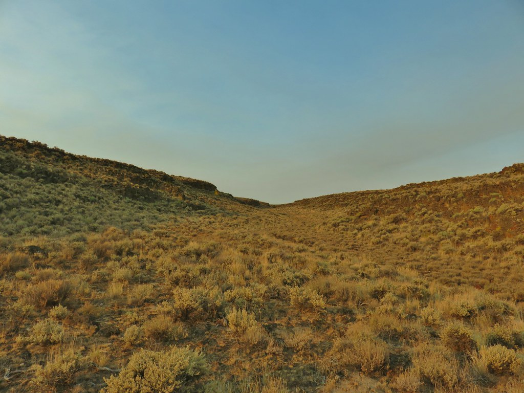
We set off across through the sagebrush angling for the rim.

 From left to right: Flagstaff Lake, Upper Campbell Lake, and Campbell Lake.
 Hart Mountain Road climbing up to the plateau.

 Campbell Lake
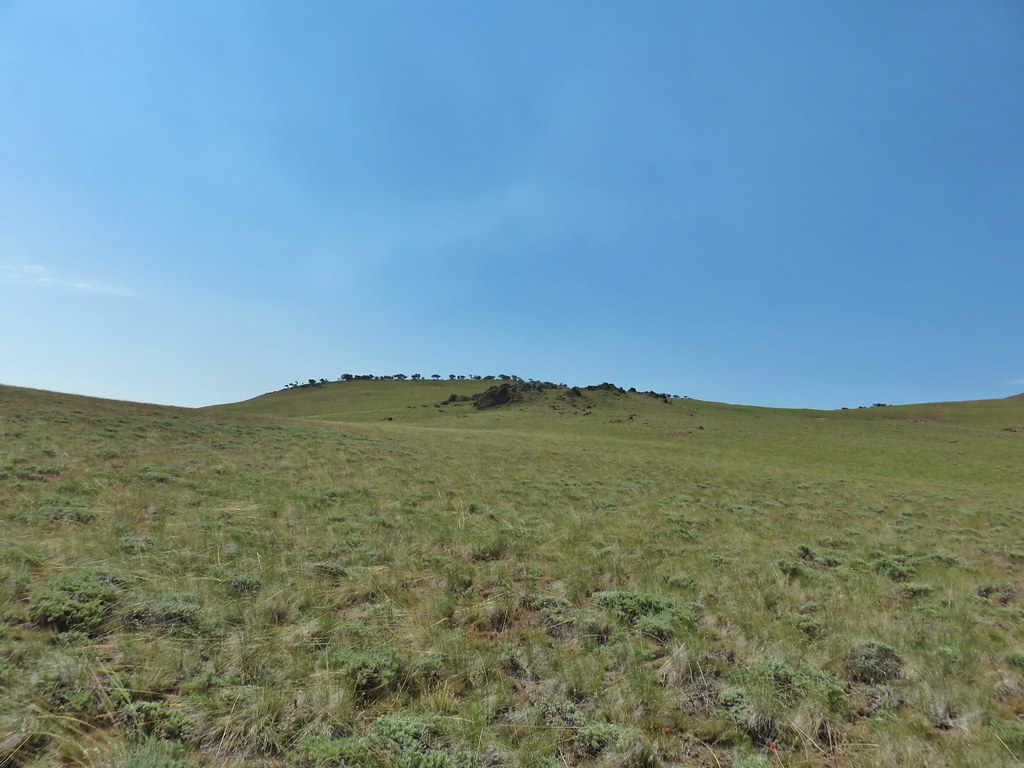
We followed the rim north toward the knoll.


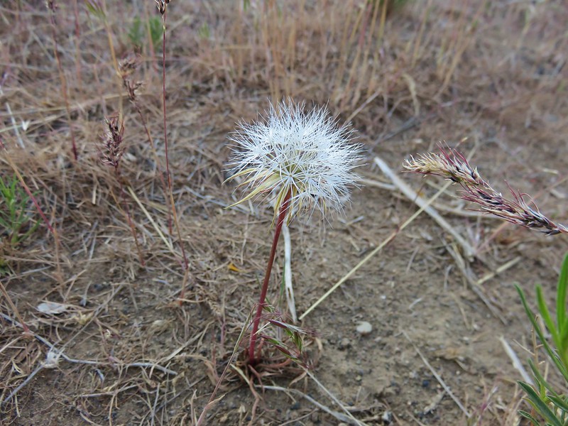
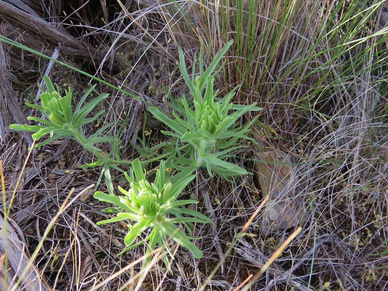
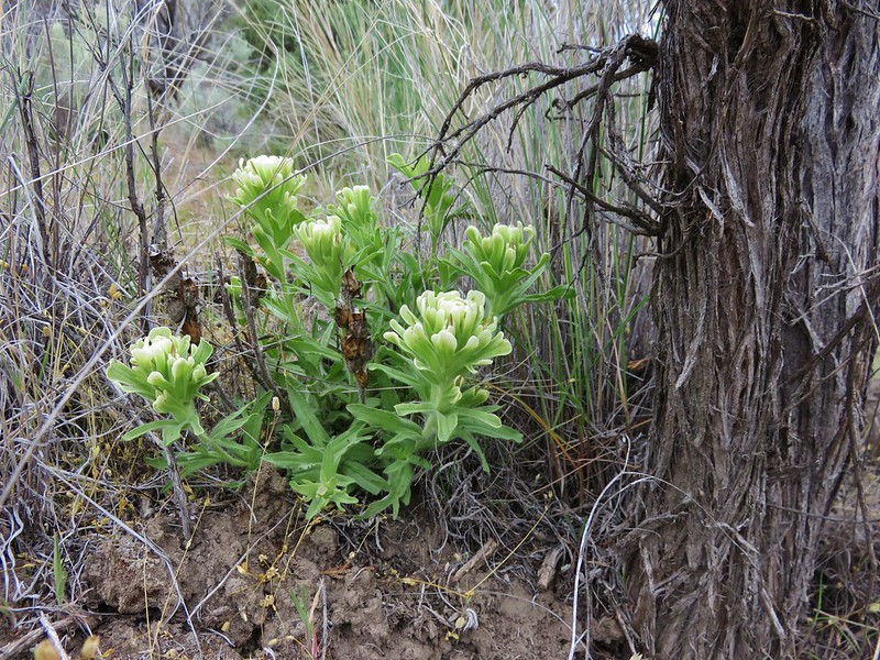
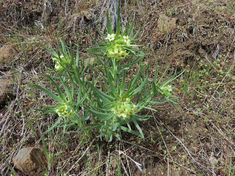
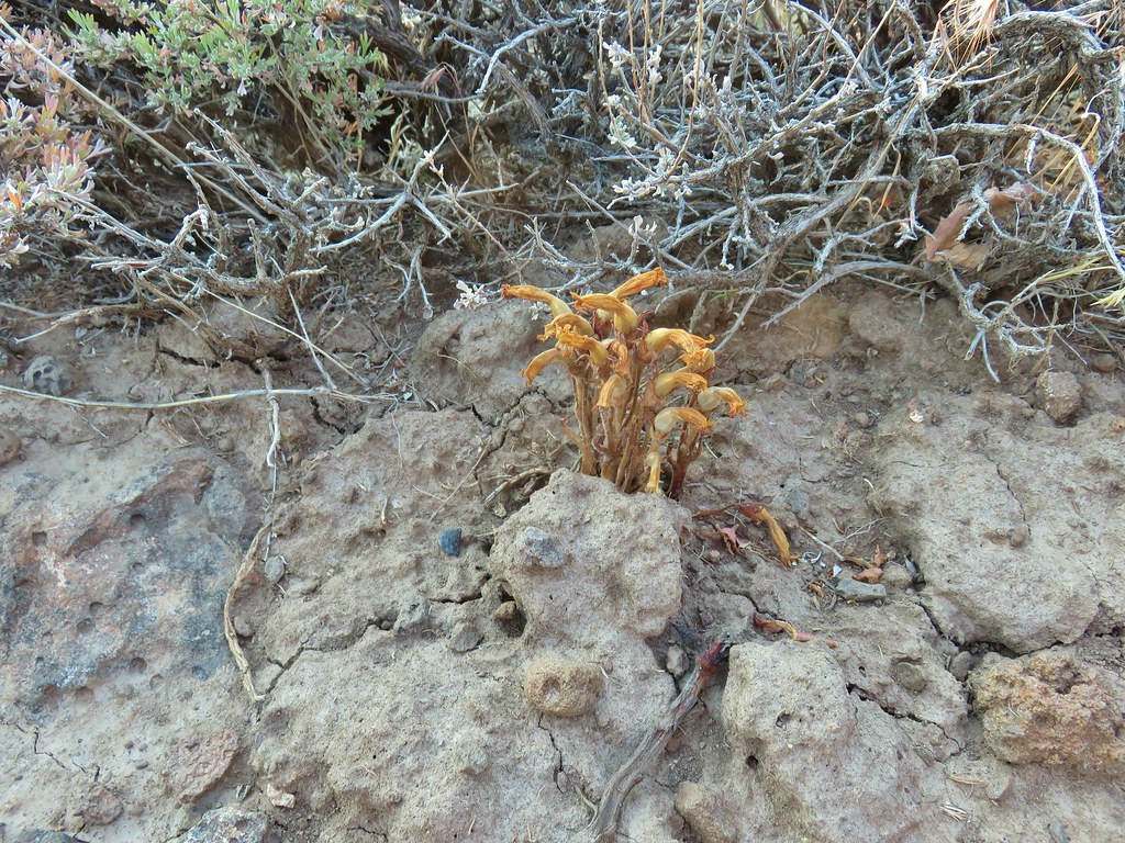 An Orobanche


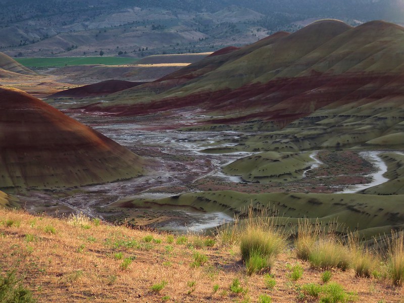
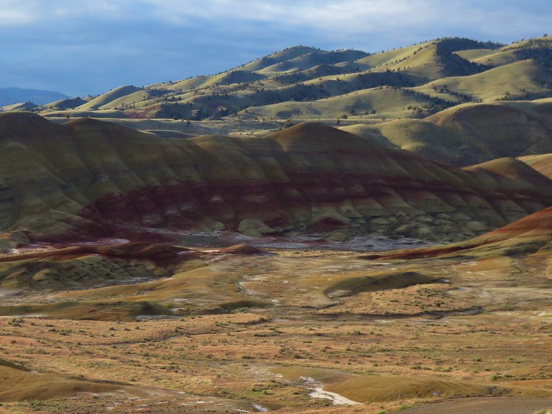
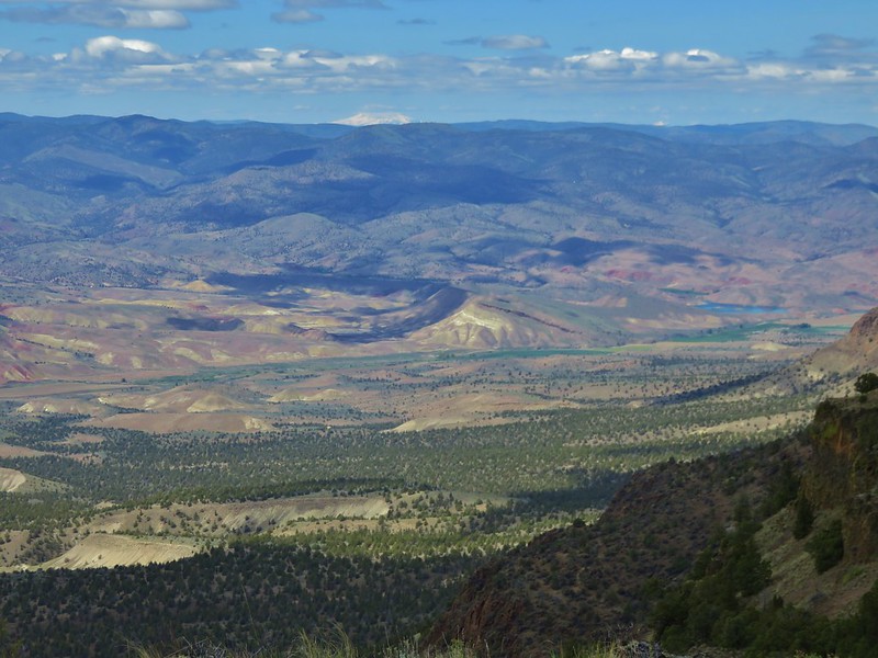
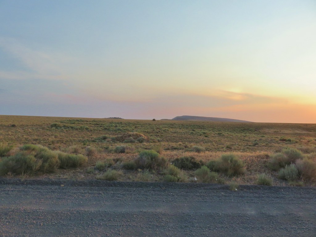
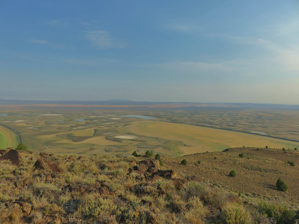
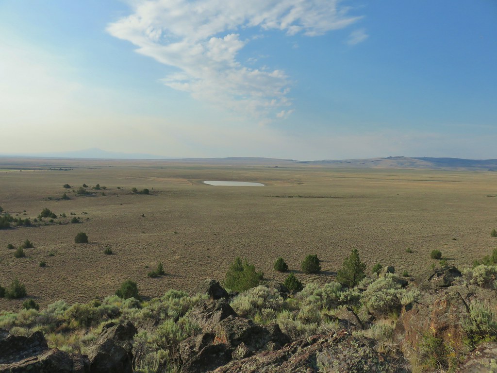
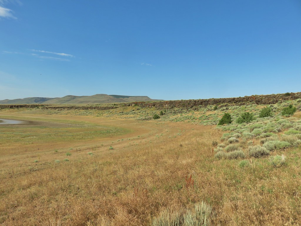
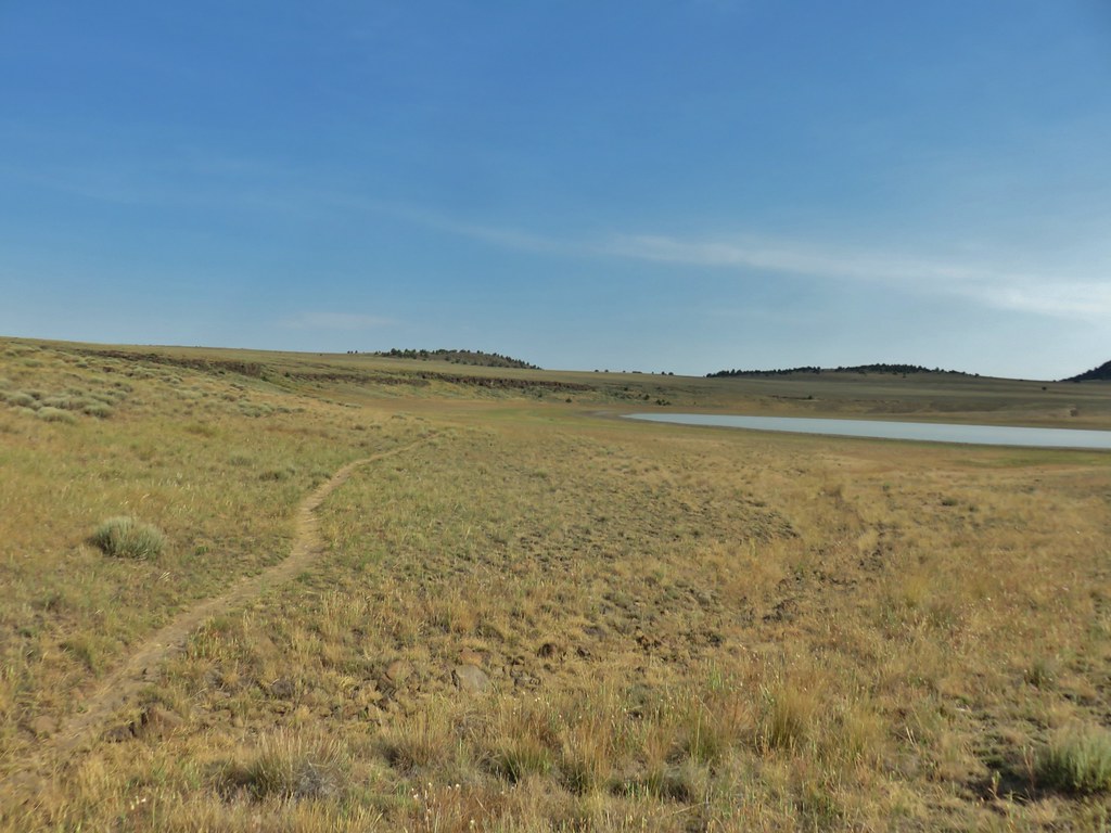
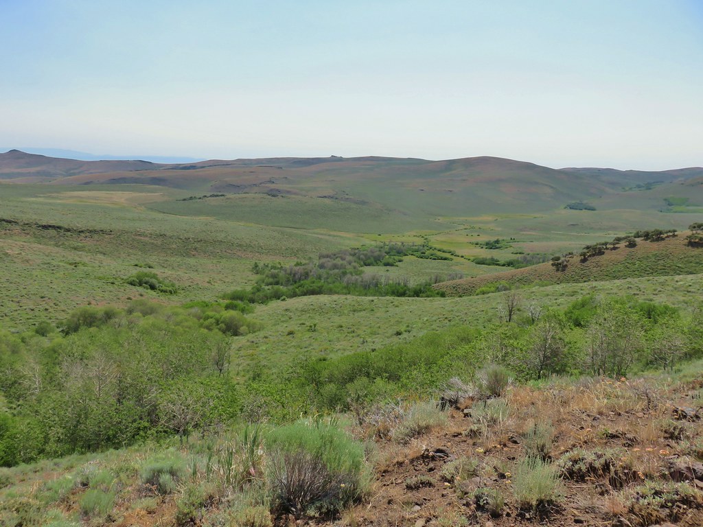
Petroglyph Lake was not visible at first but it lay to the east and we could make out the basin that it was in.

As we gained elevation the further north that we got we finally could see the lake in the basin.

We arrived at the knoll a little over 2 miles from where we’d parked.

 White pelicans and seagulls on Campbell Lake.
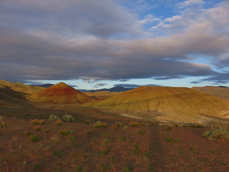
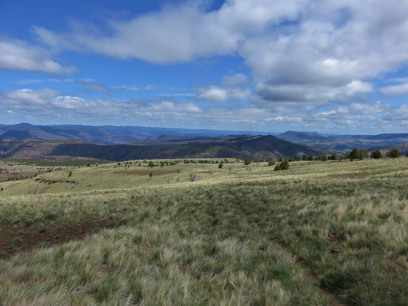
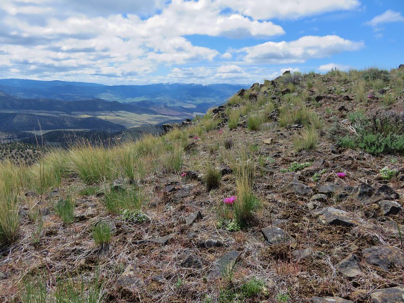
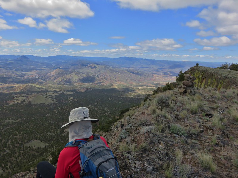
 Looking south along Poker Jim Ridge
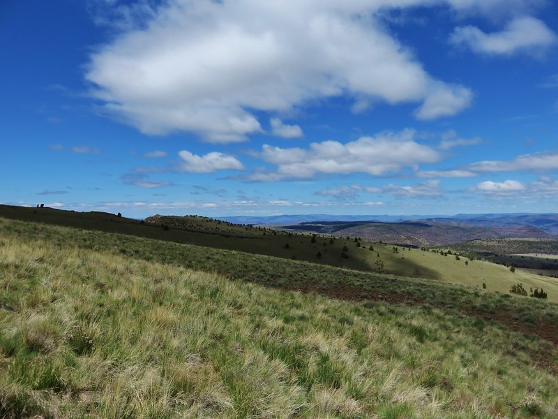
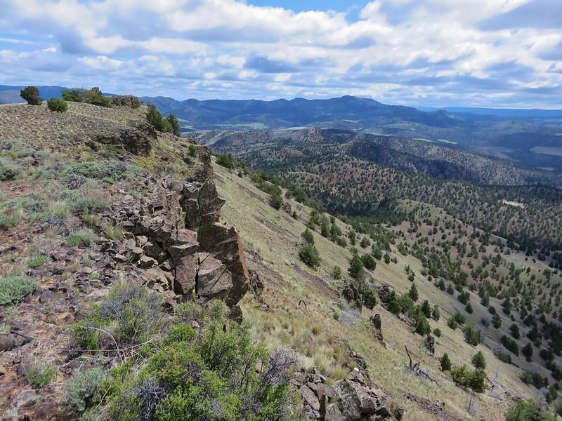
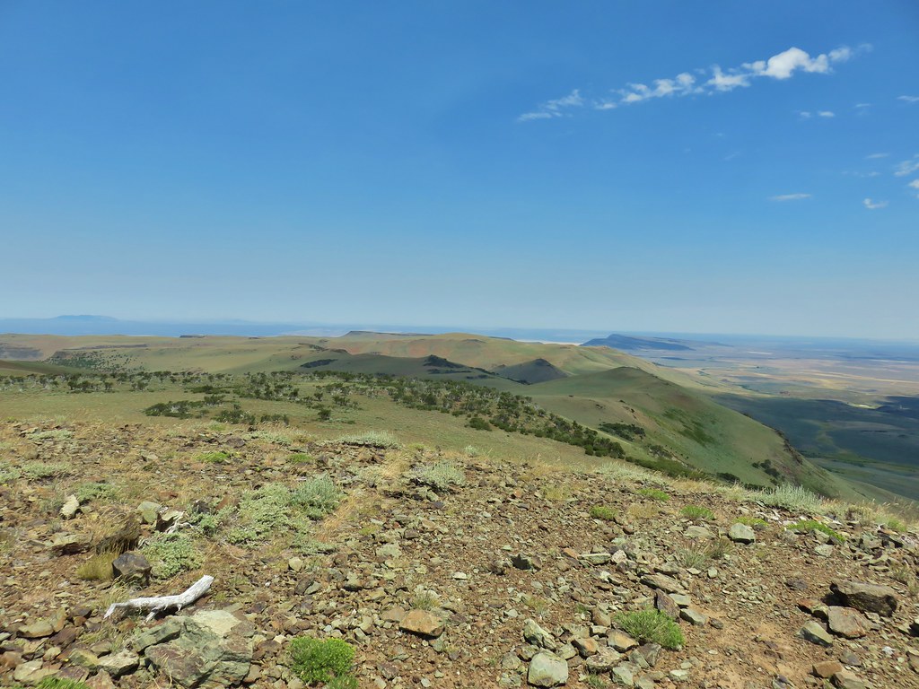
 Looking north along Poker Jim Ridge
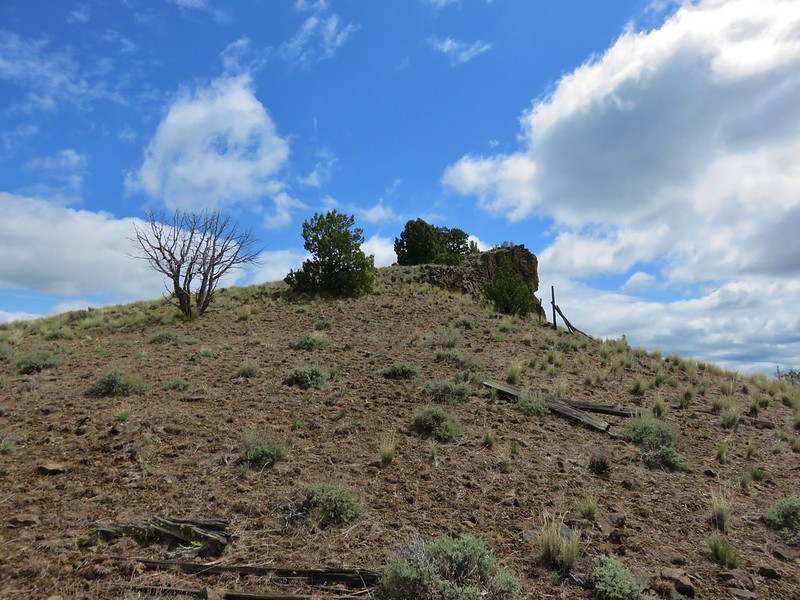
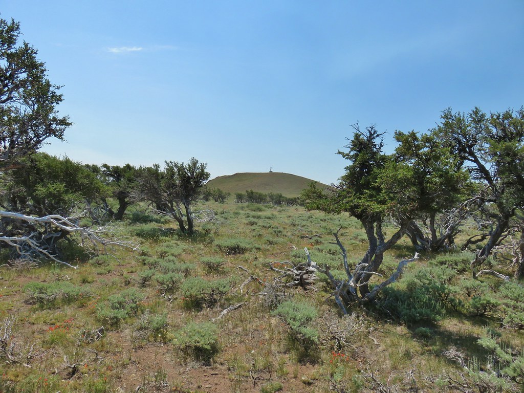
 Junipers on the knoll
We made our way to the north end of the knoll to get a better view in that direction.
 Bluejoint Lake below the ridge.
 Stone Corral Lake
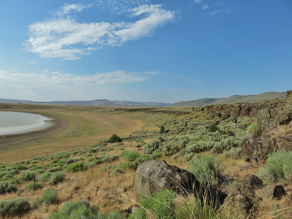
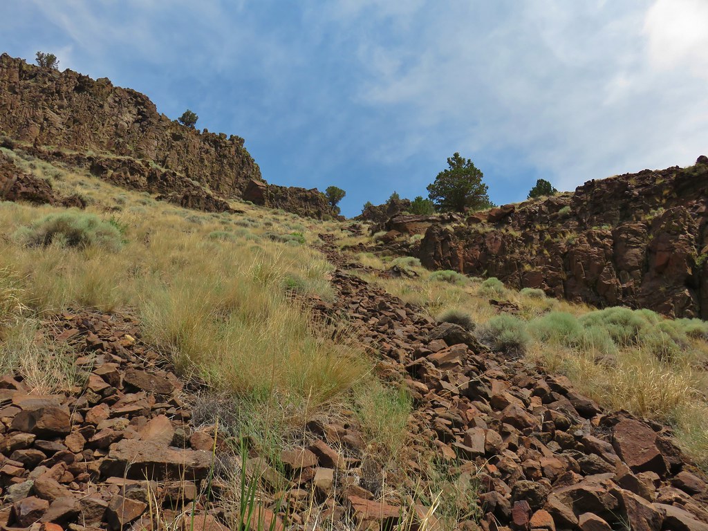
To reach Petroglyph Lake we had to backtrack to the south on the knoll to avoid a rocky descent.

When we found a suitable spot to descend we could see the lake clearly but we knew that we would lose sight of it again once we were down off the knoll so we picked out some other features to use as reference points. When we were able to see the lake again we aimed for the left side knowing that a rock ledge rimmed its right side.


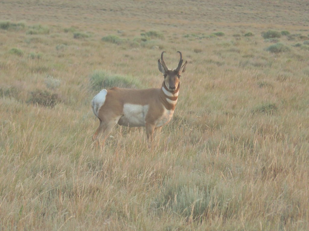
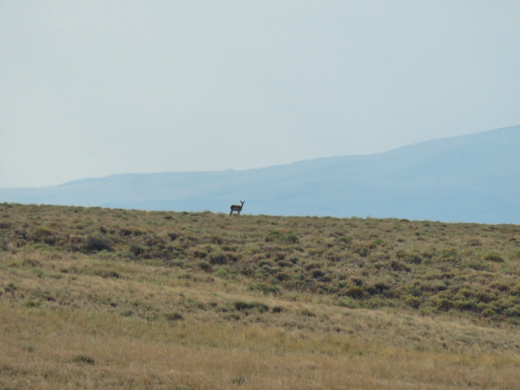 Pronghorn above the lake.
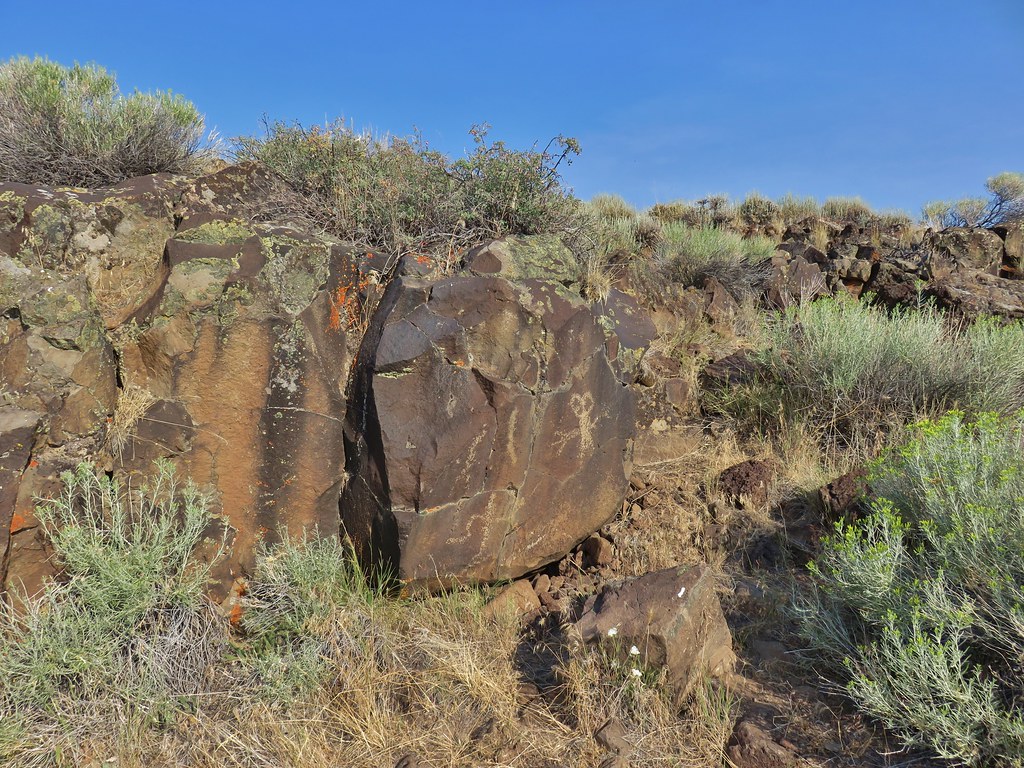
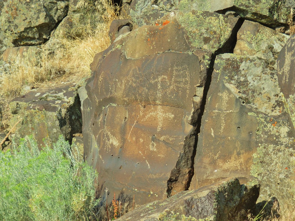
As we neared the lake we got below the rim rock and turned right to explore along it as this is where the petroglyphs are.
It was approximately a half mile to Petroglyph Lake Road at the far end of the lake and most of that distance was along the cliffs looking at the petroglyphs.


 Dragon fly
 Western fence lizard
 Yellow bellied marmot


When the cliffs began to fade we followed a clear path along the lake to the road where we encountered the first other hikers since the previous Saturday (we’d been passed by a single mountain biker the day before).
After a brief (6 foot) conversation with them we were ready to continue on but we faced a choice. Sullivan’s loop would have had us setting of cross country for 1.5 miles back to the hill top where our car was parked. We could also walk Petroglyph Lake Road to Hart Mountain Road and then walk up that road back to the car. This second option doubled the mileage but it also took us to within a mile of the refuge headquarters where we’d seen the bulk of the pronghorn the day before and it was road walking and not bushwhacking which we were both about done with for a while. The road it was.

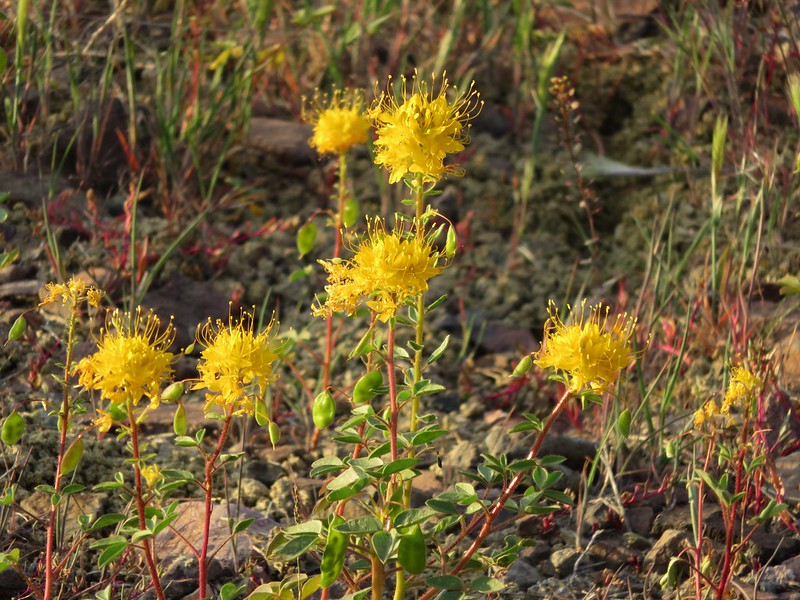
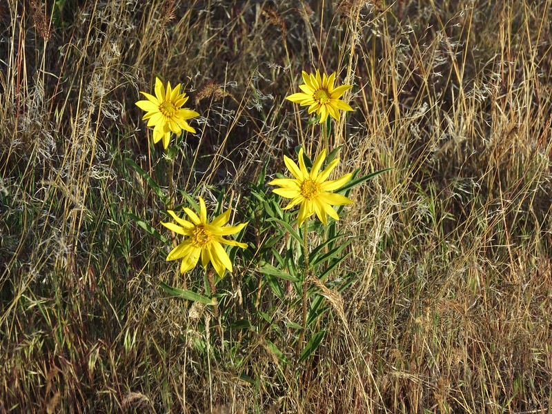
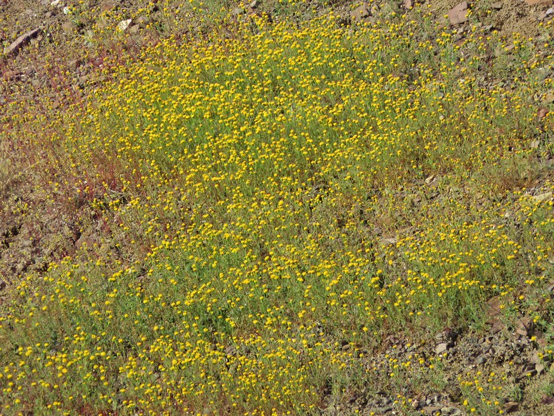
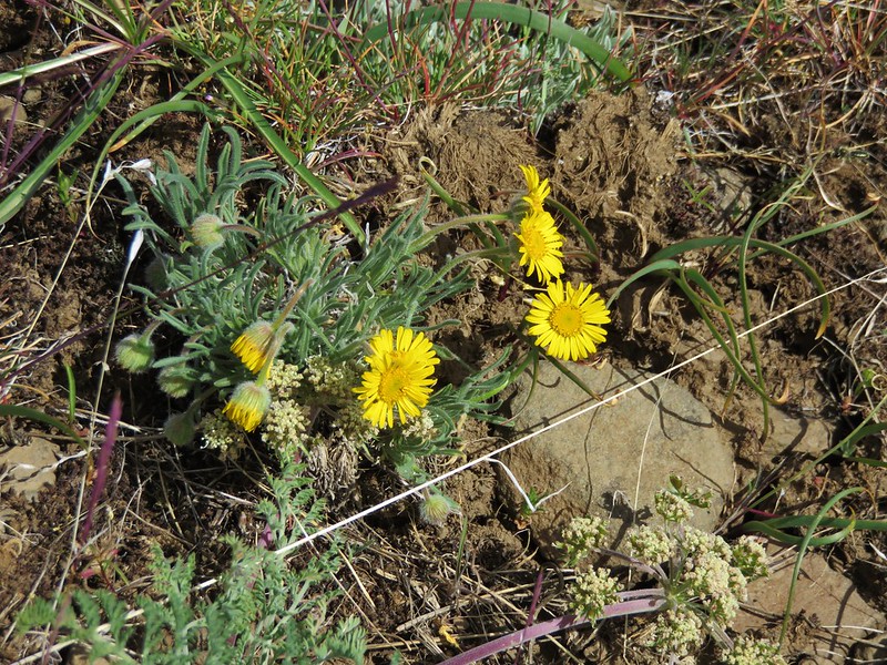
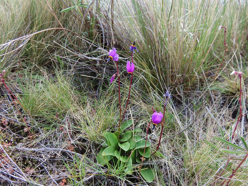
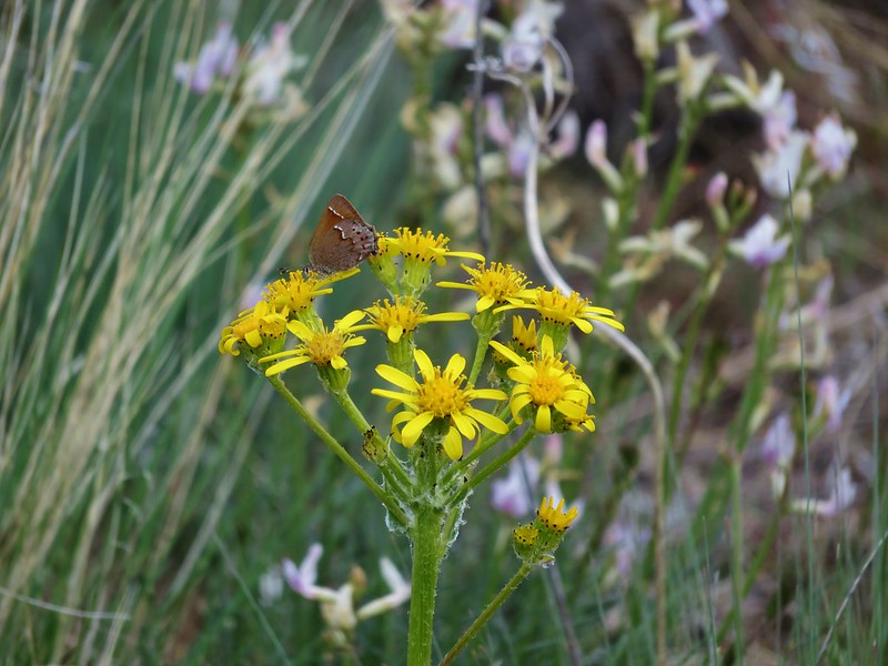
The road walk was fine, there were several flowers, a plethora of butterflies, and we did see a few more pronghorn, albeit at a distance.
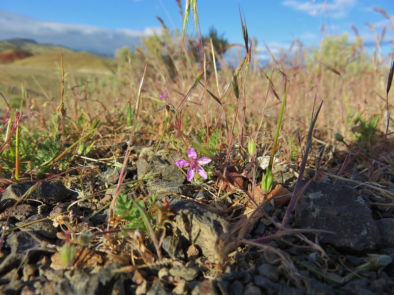
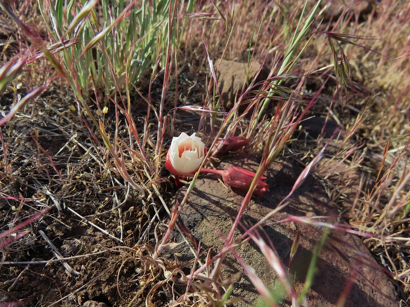
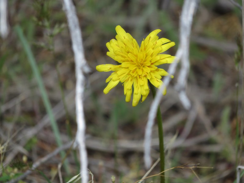
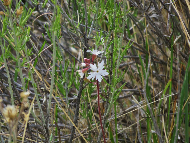
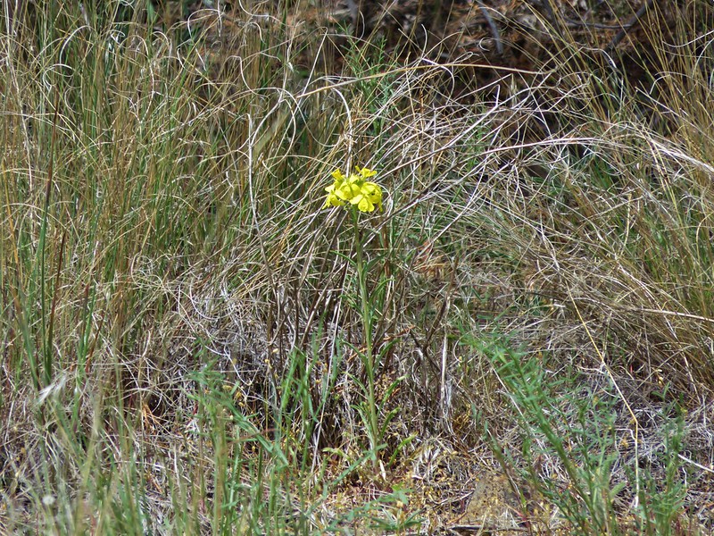
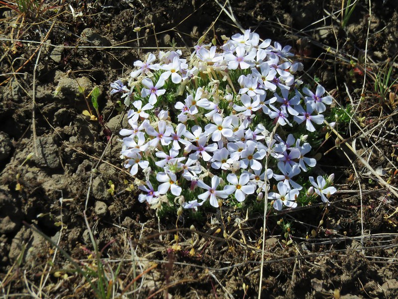
 Some type of primrose I think.


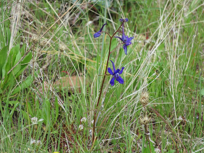
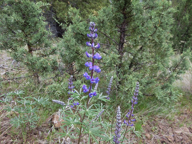
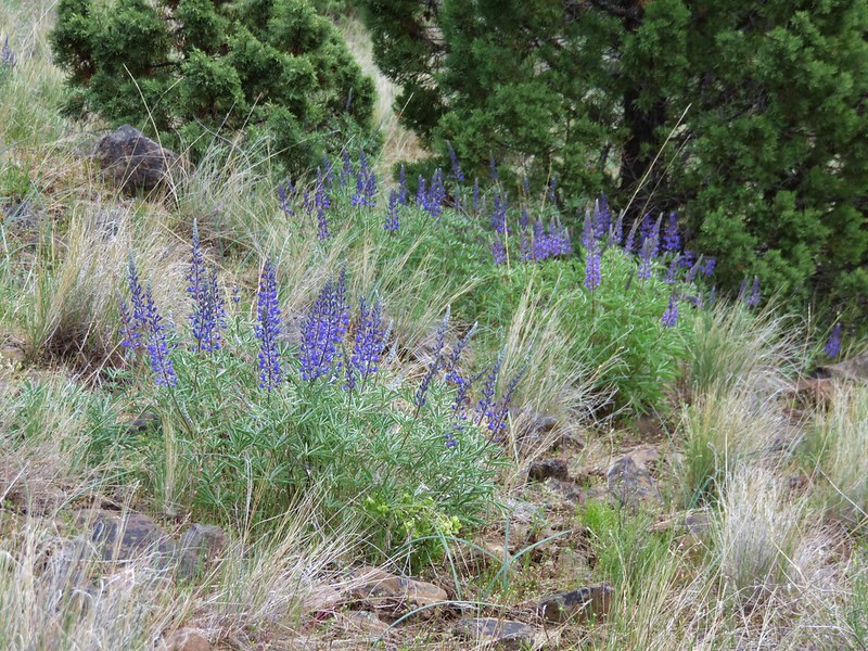
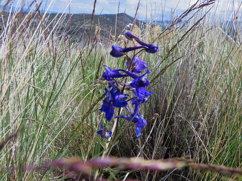
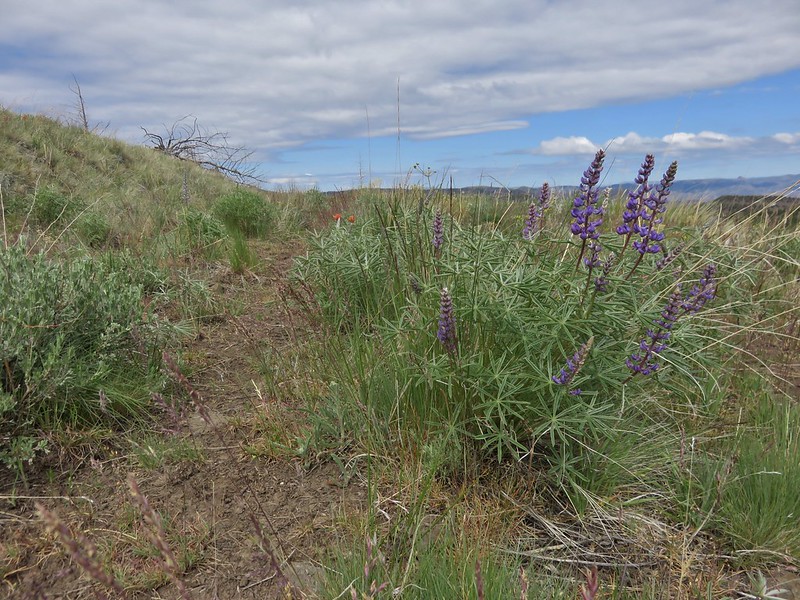
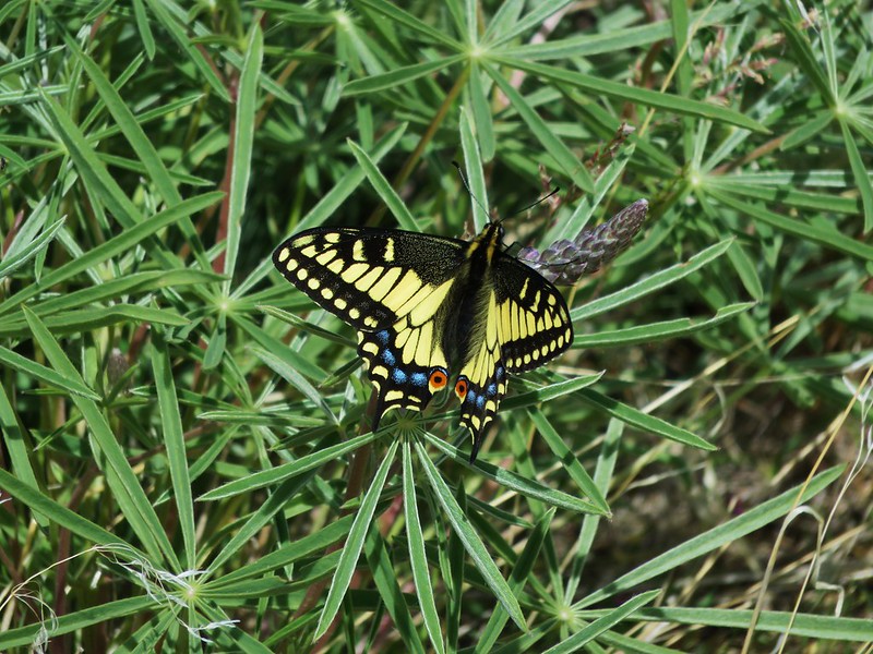
 Lupine
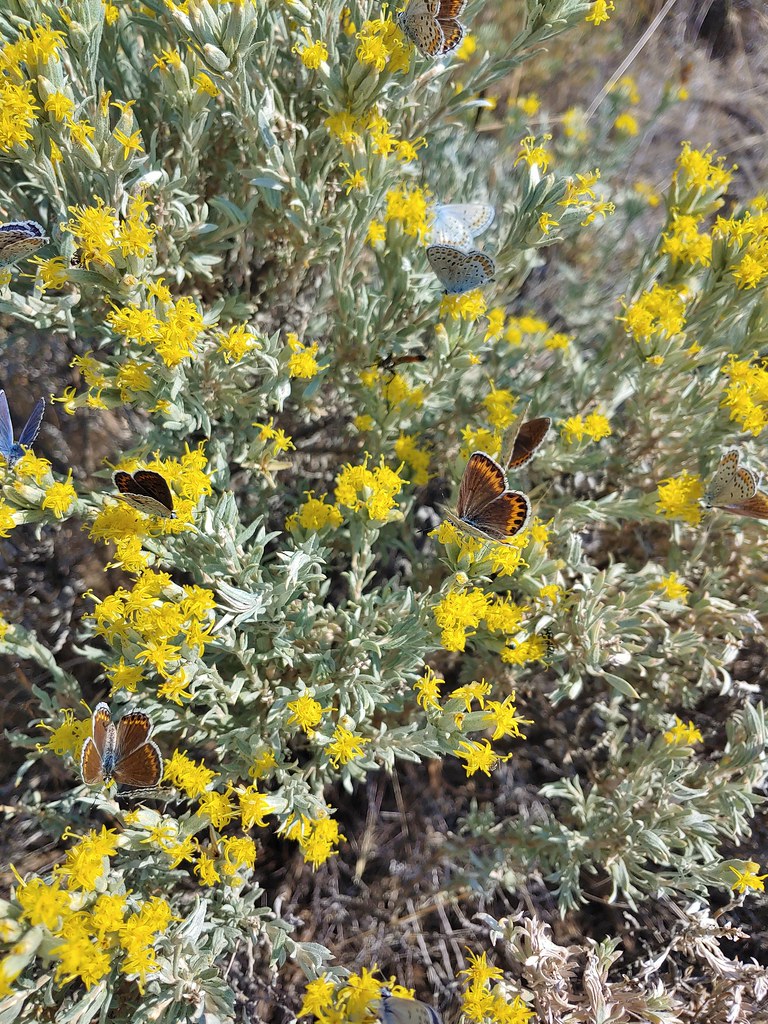
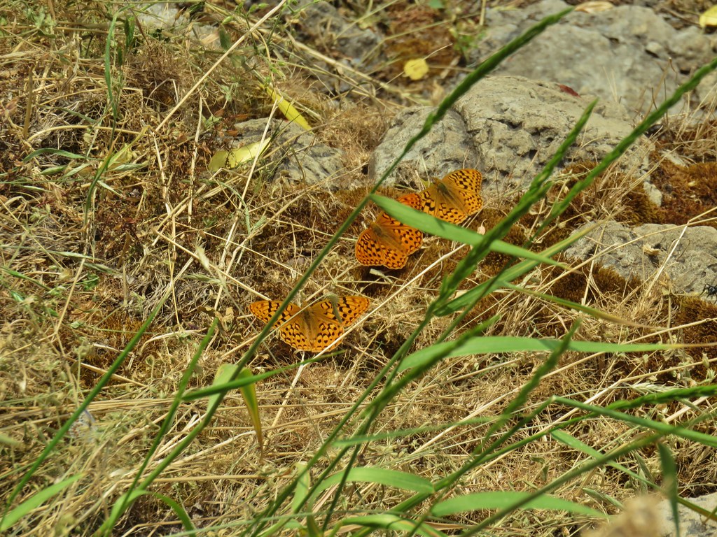
 There were dozens of butterflies and other pollinators on this rabbitbrush.

 The gate at Petroglyph Lake Road
 Hart Mountain Road
 The juniper knoll along Poker Jim Ridge and yes there are a few pronghorn out there.
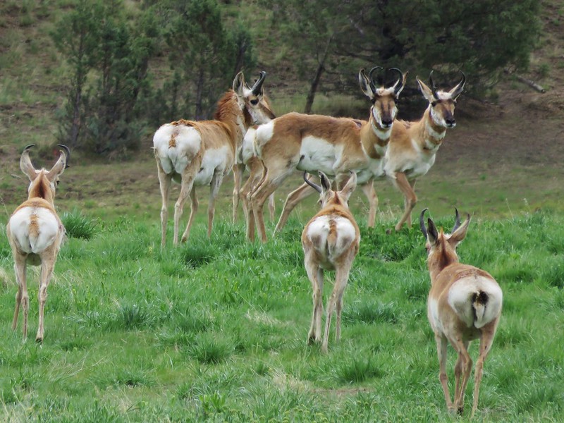
 Pronghorn keeping their distance from us.
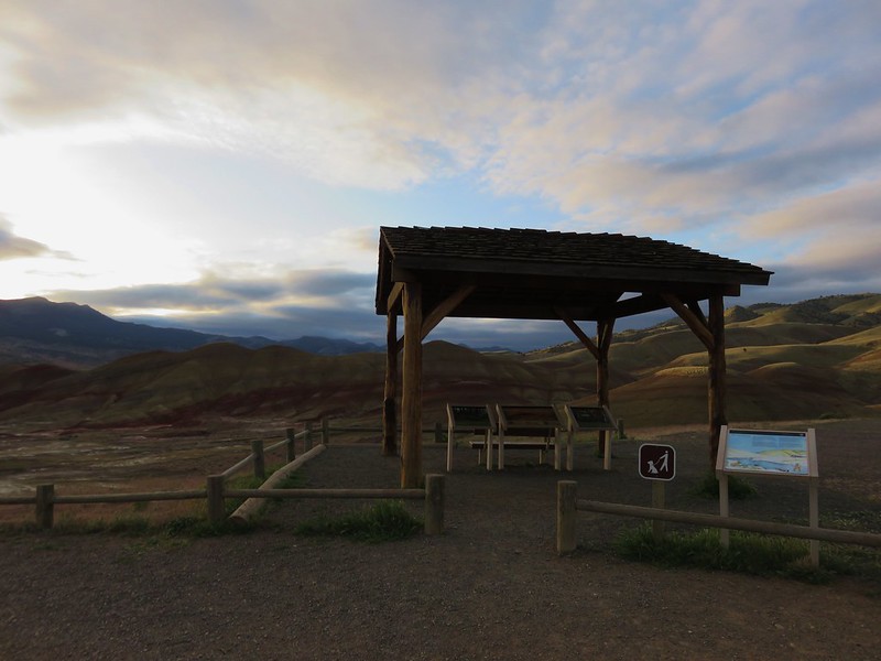
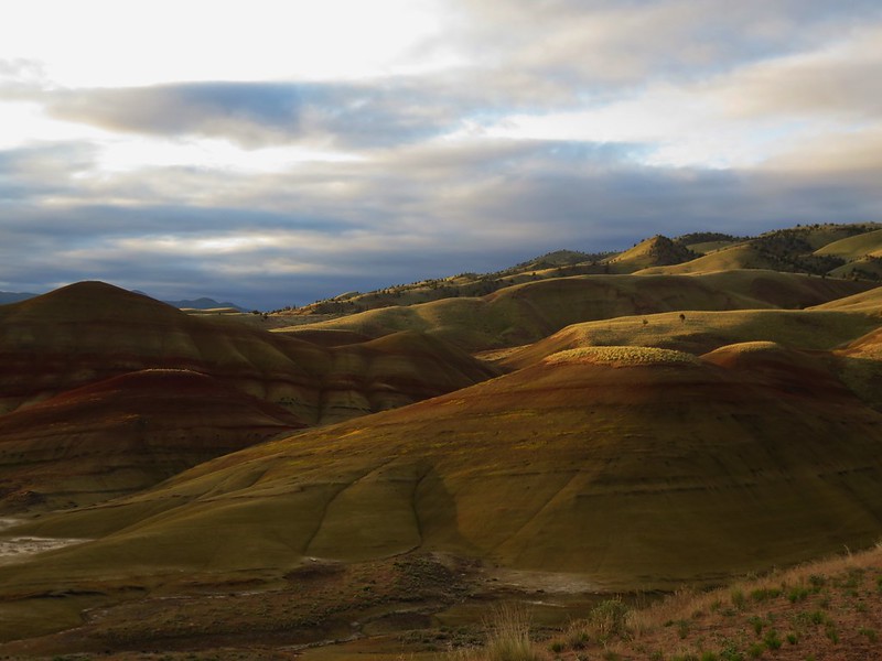
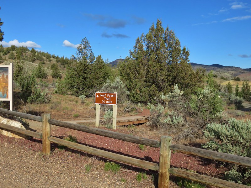
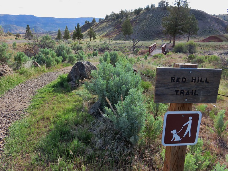
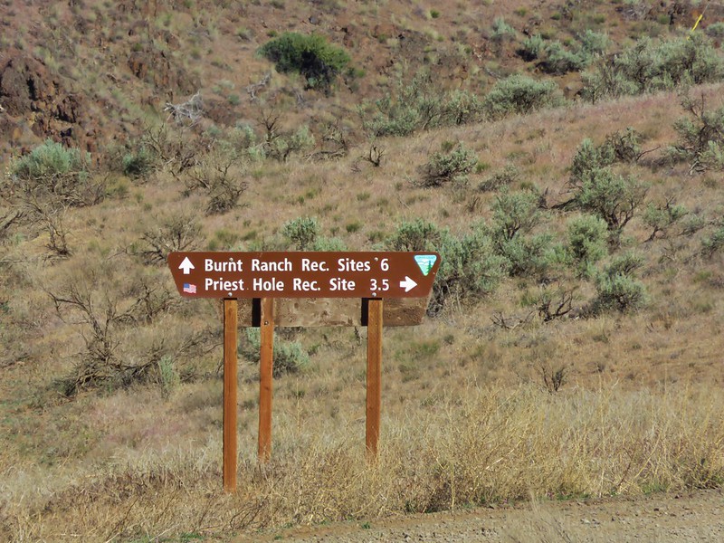
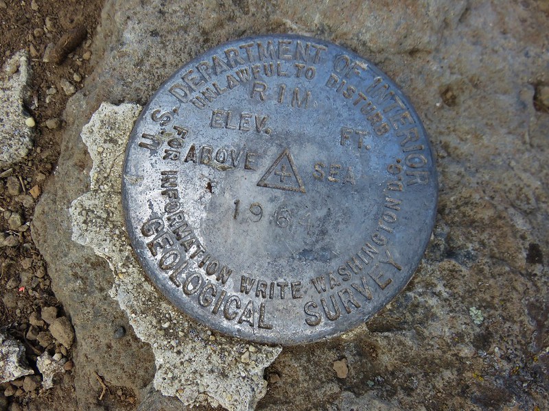
After making it back to our car we drove just under 2 miles back down Hart Mountain Road to a small pullout with a Warner Mountain Overlook sign and a short (.4 mile) loop trail. We weren’t aware of this little interpretive loop until we drove past it the day before but it looked interesting so we added it to this days itinerary.
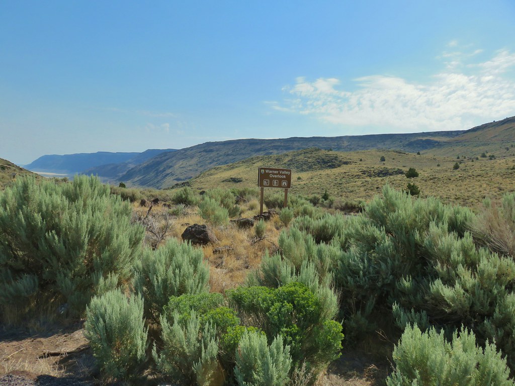 Sign for the overlook.
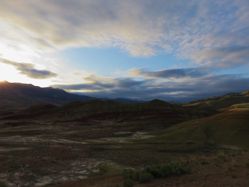
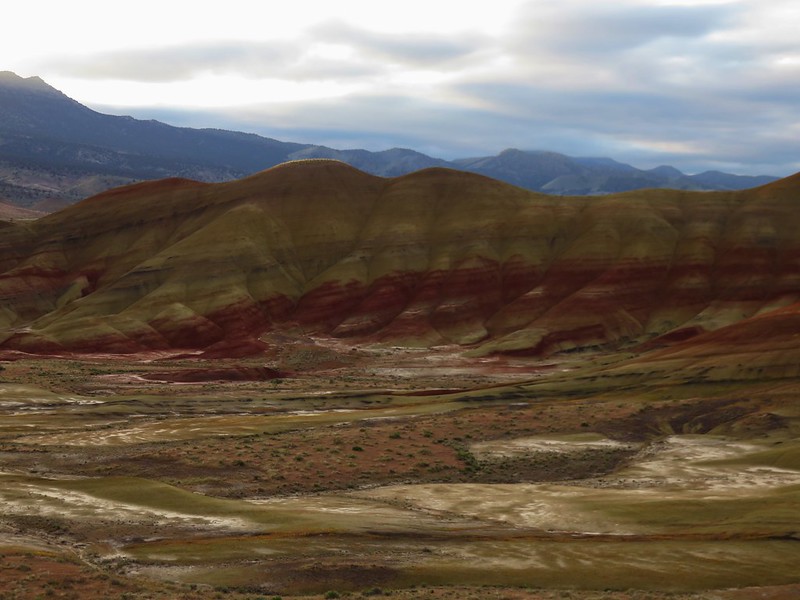
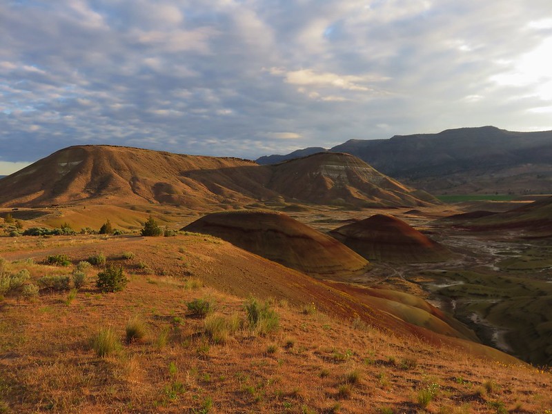
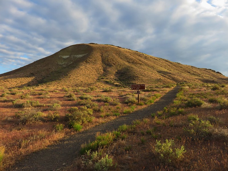
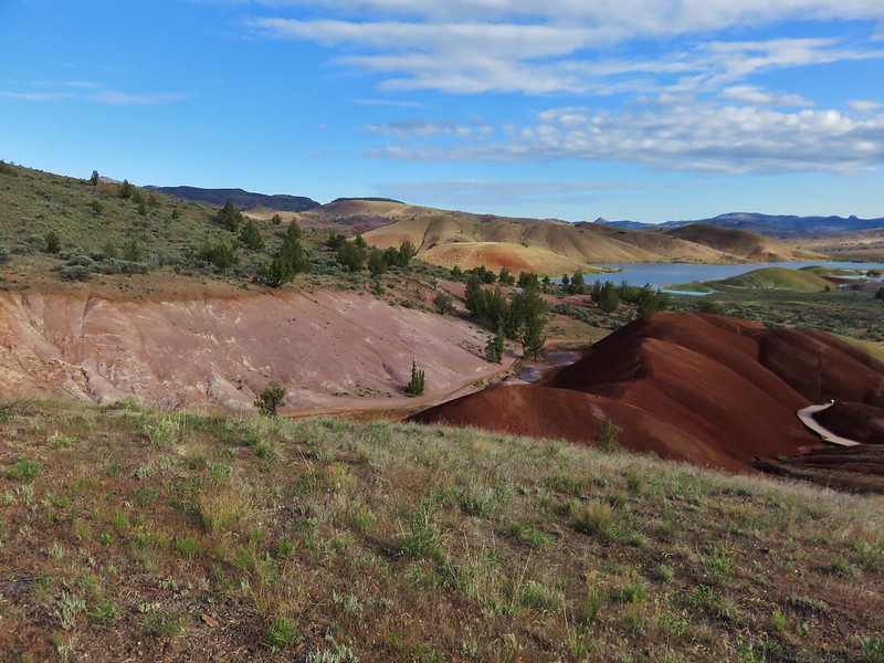
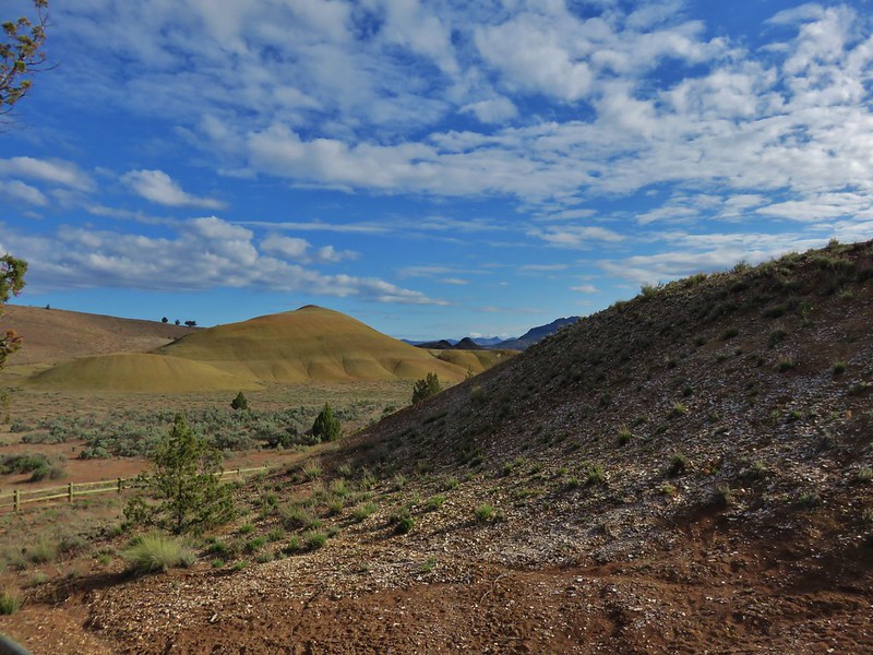
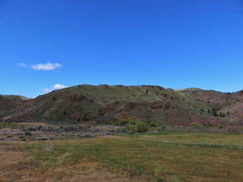
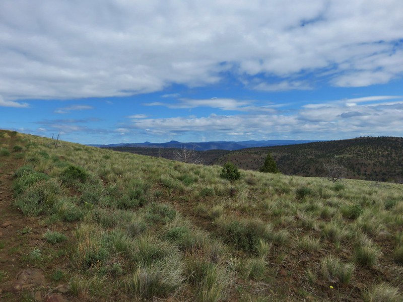
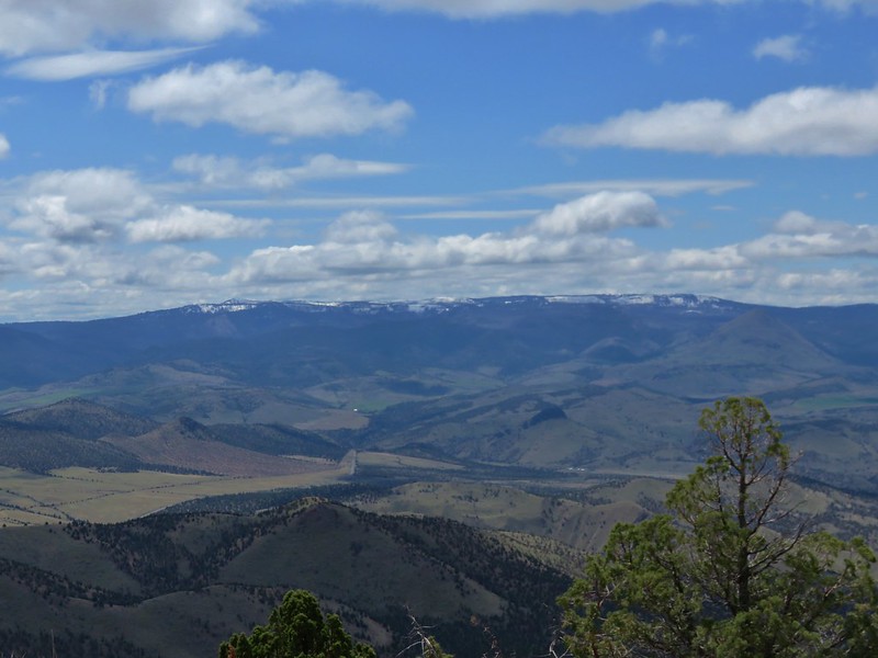
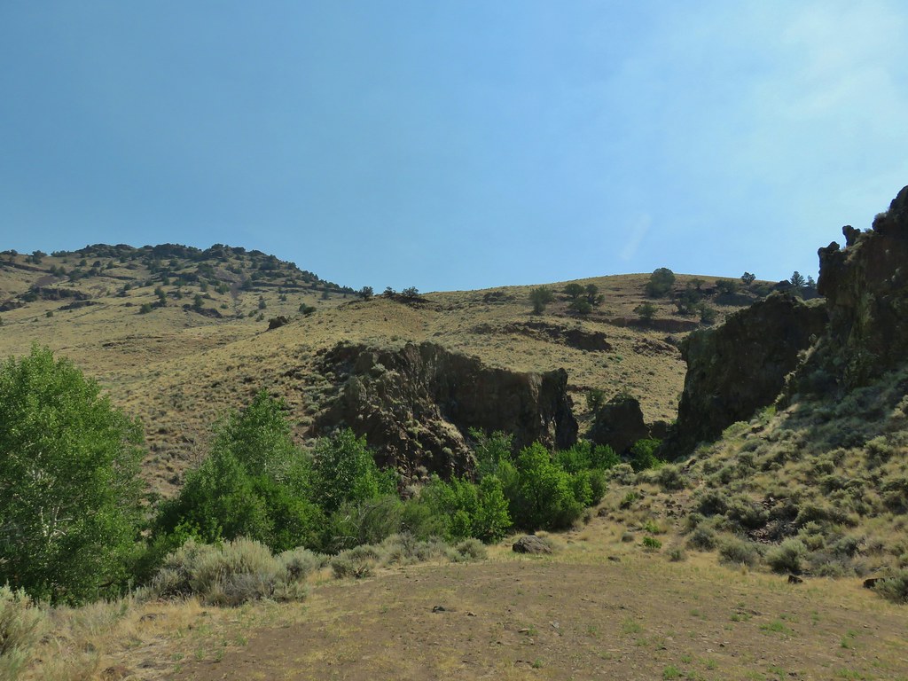
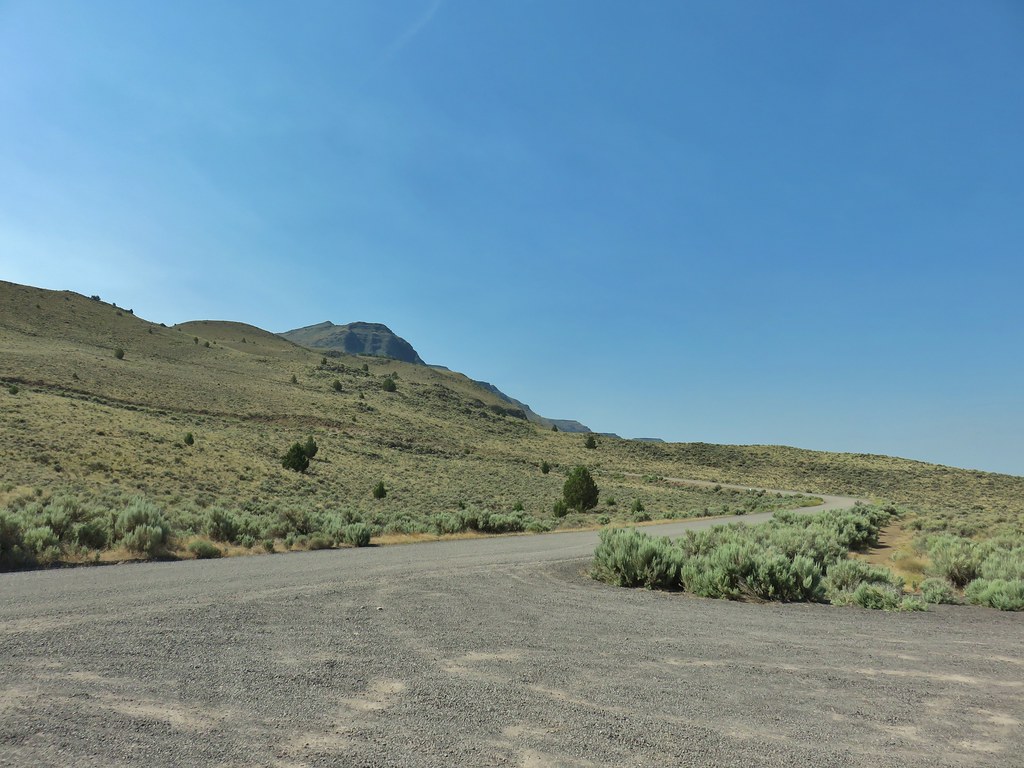 View from the pullout back up toward Hart Mountain.
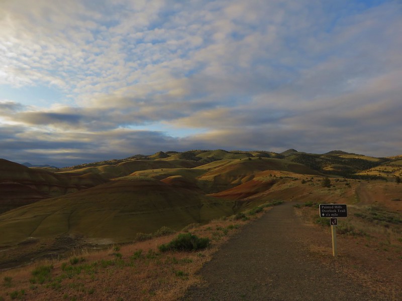
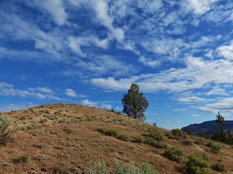
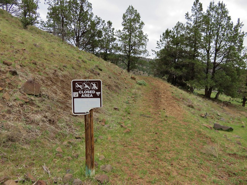
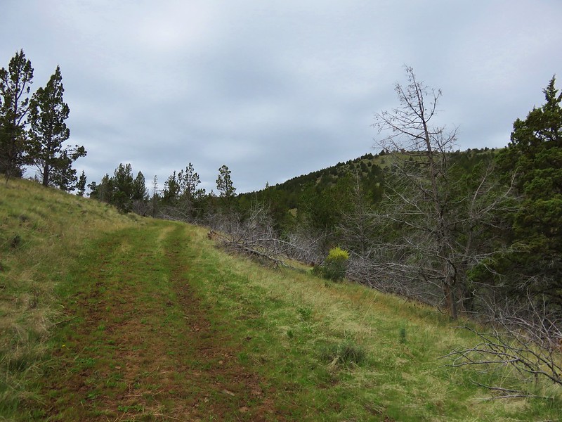
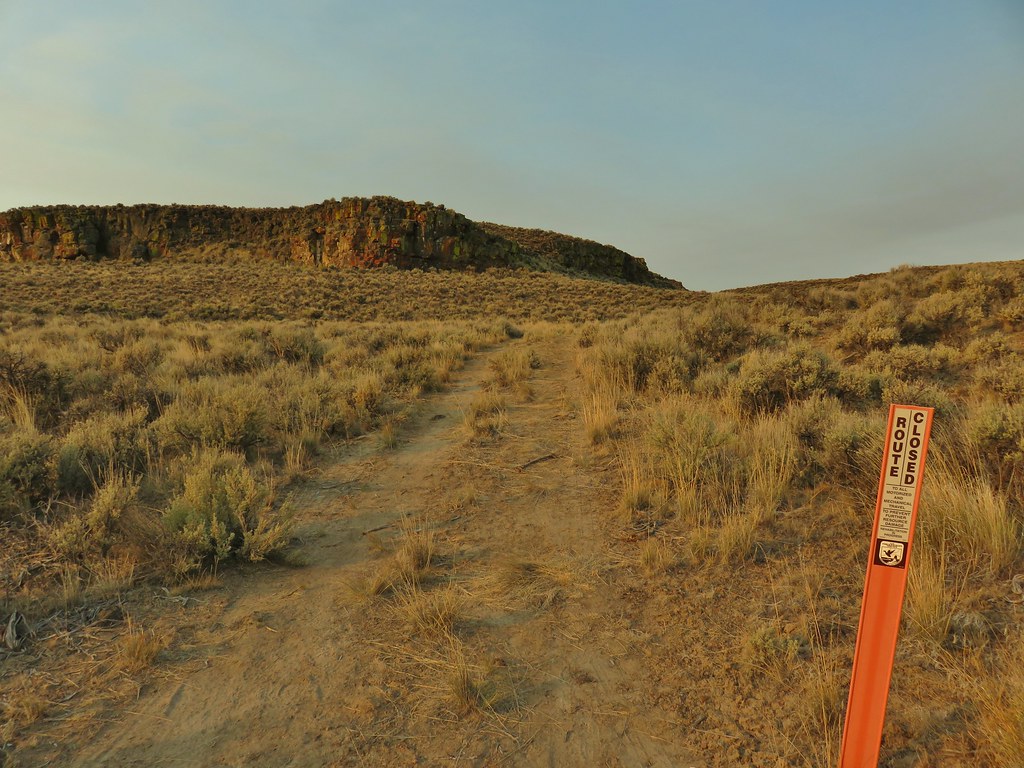
 The start of the loop trail.
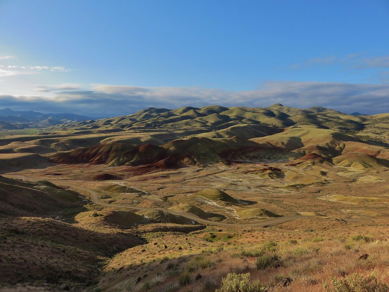
Since we had already been up to the juniper knoll which looked this same direction the views from the overlook were not much different from those, but the half dozen interpretive signs along the route were interesting and worth the quick stop.
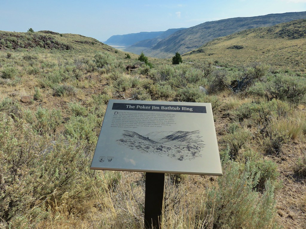 We like interpretive signs like this where we can see with our own eyes what is being described.
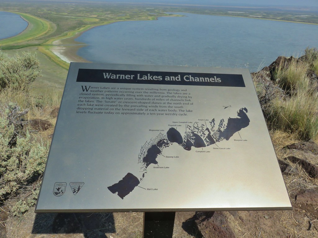 This one helped with identifying the different lakes plus provided the history.
 Another of our favorites are the ones that identify the various hills and peaks.
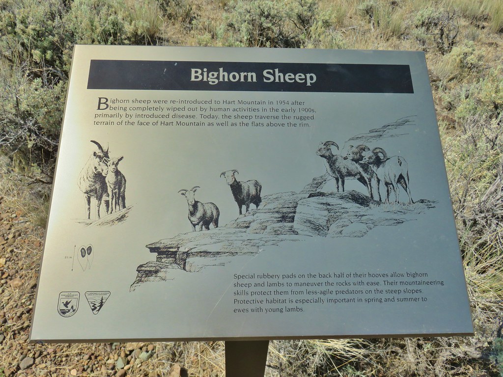 We worked really hard on spotting some big horn sheep on this trip to no avail. There was so much space that they could be in it was like looking for a needle in a haystack.
After completing the loop we continued our drive back toward Lakeview on Hart Mountain Road. We turned off once more at a small pointer for DeGarmo Canyon (4.5 miles after pavement resumed in this direction or 9.4 miles from Plush). Sullivan described the half mile dirt road as very rough and requiring a high clearance vehicle, otherwise he suggested parking along Hart Mountain Road and walking to the trailhead. Typically we heed these warning from him but for some reason I decided to test the road with our Outback. It wasn’t pretty but we did make it to the parking area and I vowed not to make that mistake again.
Sullivan lists three possible hikes with with some additional optional side trips. He has a 1.4 mile out and back to a 35′ waterfall, a 2.6 mile loop, and a 9.4 mile hike to DeGarmo Notch. If you make it to DeGarmo Notch it’s only 2 more miles (4 round trip) to Warner Peak. When our vacation started my plan had been the 9.4 mile hike with the optional trek up Warner Peak. As the week progressed we wound up hiking to Warner Peak the day before from Barnhardi Basin (post) so we didn’t need to do that anymore. We had toyed with the idea of still hiking up to DeGarmo Notch but we had seen that feature the day before as well and we were hot, tired, and a little sick of bushwacking which the 9.4 mile hike had some more of. That left us with the 1.4 mile out and back or 2.6 mile loop, both of which visited the waterfall.
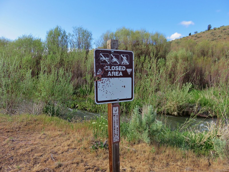
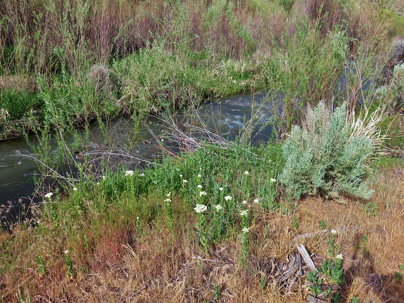
Before we decided which option we would be doing we needed to get across DeGarmo Creek. Sullivan had warned of a dangerous crossing just above a 10′ waterfall and recommended following a rock ledge 50′ upstream to an easier crossing. Given the time of year the creek wasn’t flowing very strongly and vegetation was crowding the rock ledge so we opted to cross above the 10′ waterfall despite the warning.
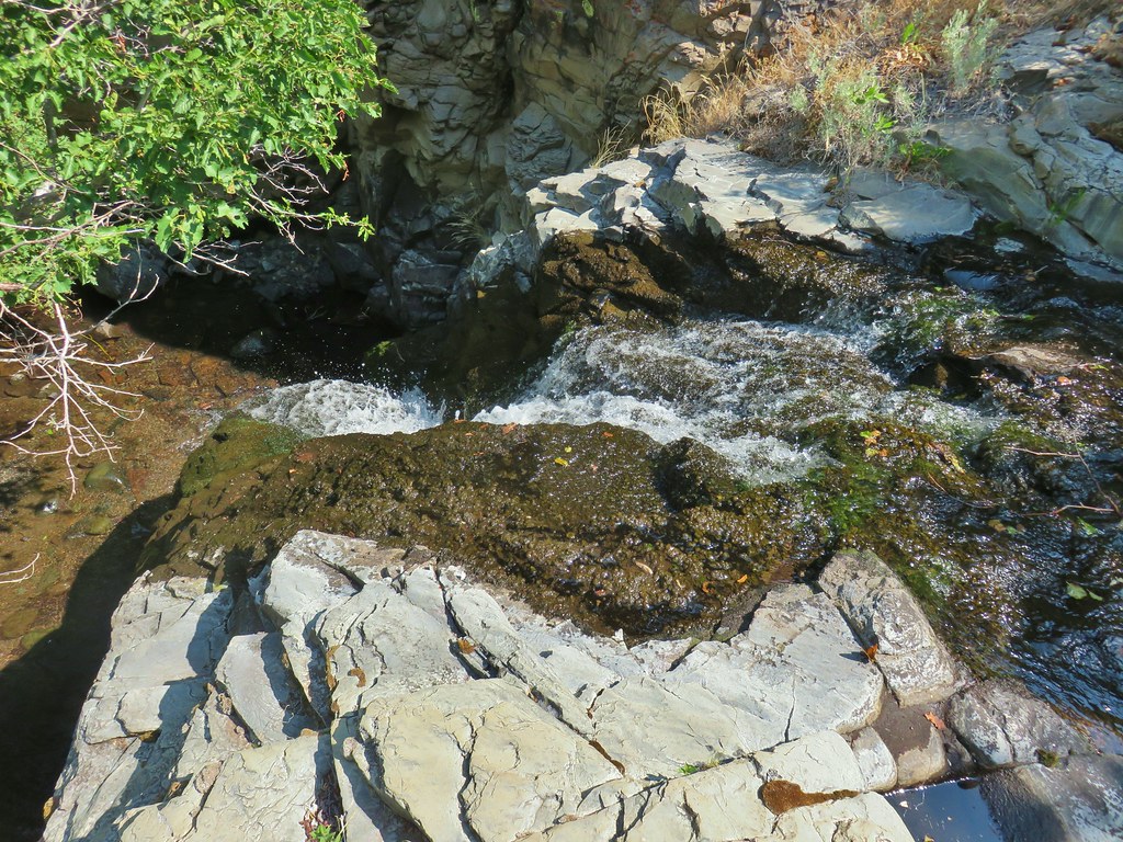 It’s not visible in this photo but there were dry rocks close enough on the far side to simply step over the water onto. The wet rock would have been very slippery and certainly dangerous.
We followed a path upstream and found the location of Sullivan’s recommended crossing.

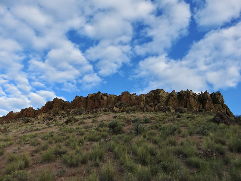
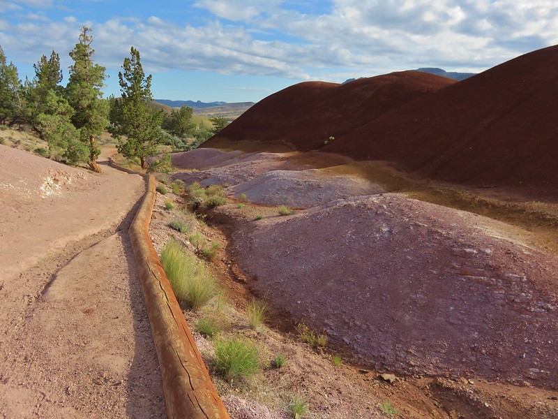
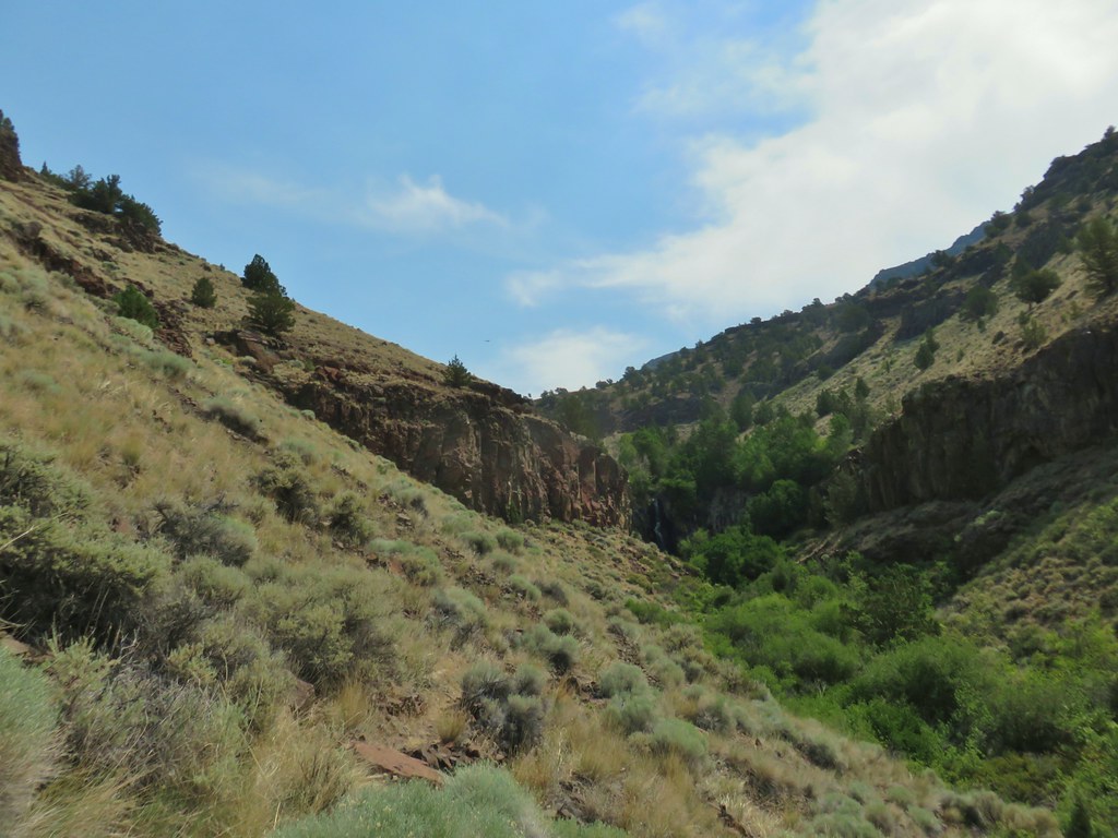
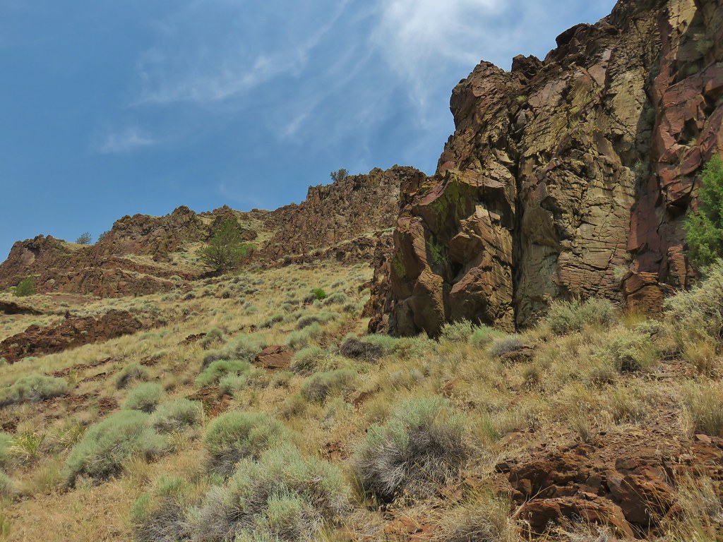
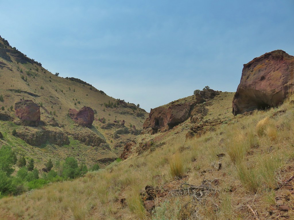
A steep trail led up around the vegetation along the creek into a wider canyon that had some very interesting rock formations. It was also extremely warm as it was directly in the sun and there was no breeze.


We had our eyes out for snakes but only saw a couple of lizards.

The 35′ waterfall was just .7 miles up the canyon and it came into view well before we arrived at it.
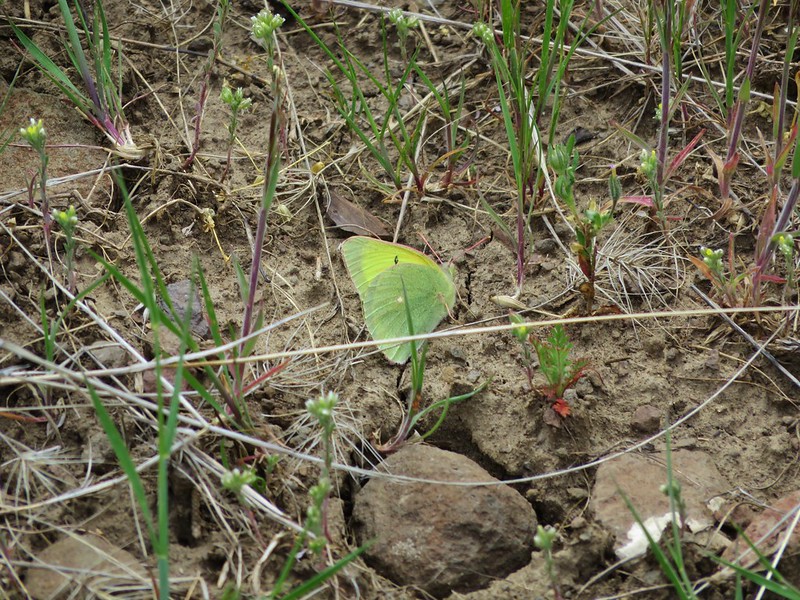
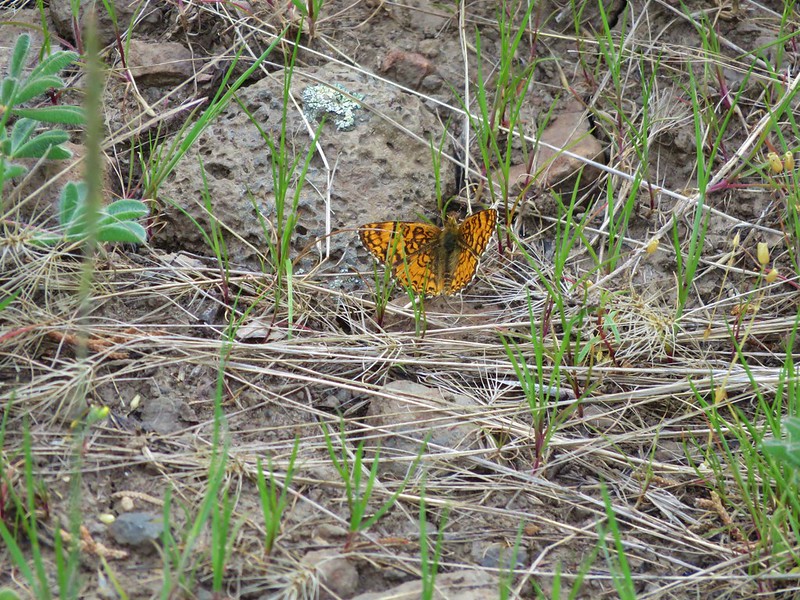
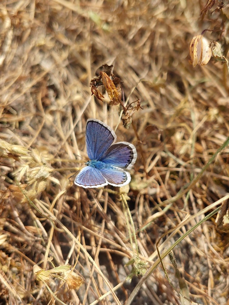
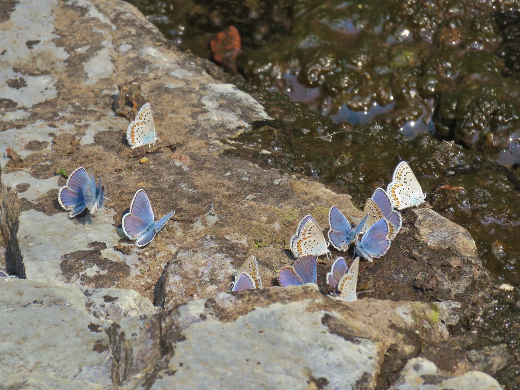
The temperature at the falls was much more pleasant and was a popular spot with the local butterflies.


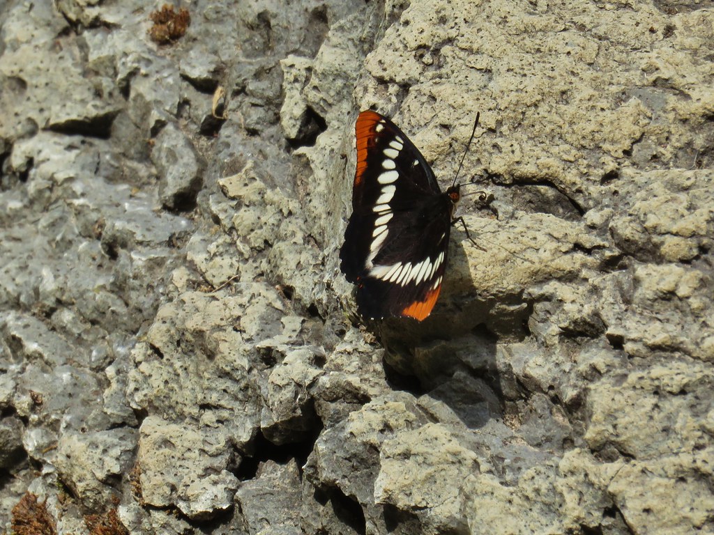

We took a relaxing break at the falls surrounded by the butterflies. When it was time to continue our hike we both agreed that neither one of us was up for what it would take to do any of the options other than the 1.4 mile out and back. In order to do any of the longer hikes, even the 2.6 mile loop, we would have needed to follow a steep scramble route 200′ before the falls up around some cliffs. We had both spied the route on our way to the falls and both thought “not today”.
 The scramble route is at the base of the cliff to the right.
 Looking up from the trail at where the scramble route was heading.
We were happy with our choice and ready to get out of the heat so we retraced our steps back to the 10′ water fall.

The smaller waterfall had been invaded by butterflies too.

After carefully driving the wretched half mile to Hart Mountain Road we headed back to Lakeview to treat ourselves to burgers and milkshakes from the Burger Queen drive thru. It was our shortest day so far of the vaction at 8.7 miles (6.8 at Petroglyph Lake, 0.4 at the overlook, and 1.5 at DeGarmo Canyon) but that was plenty. Thursday’s hike had the potential of being the longest of our trip as we were set to visit one of the six remaining wilderness areas in Oregon that we had yet to hike in, the Gearhart Mountain Wilderness. Happy Trails!
Flickr: Petroglyph Lake, Warner Valley Overlook, and DeGarmo Canyon
 Hart Mountain in the morning.
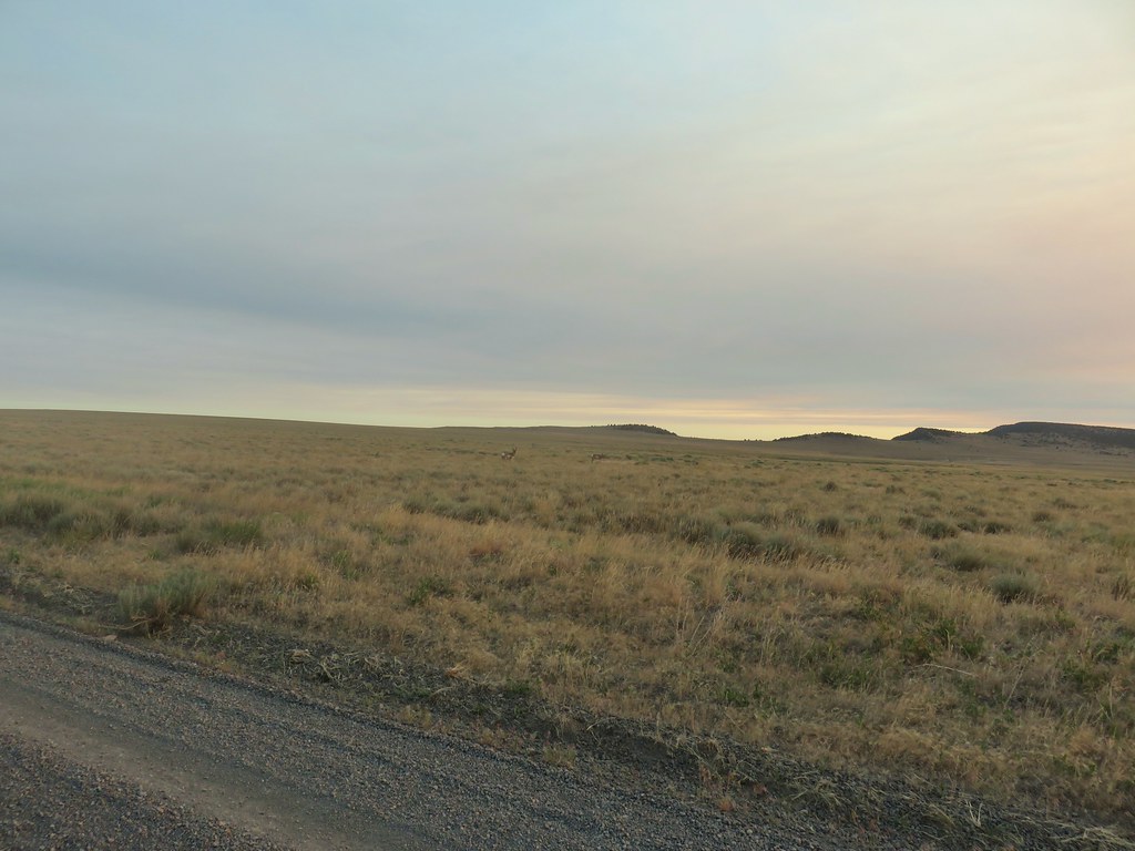
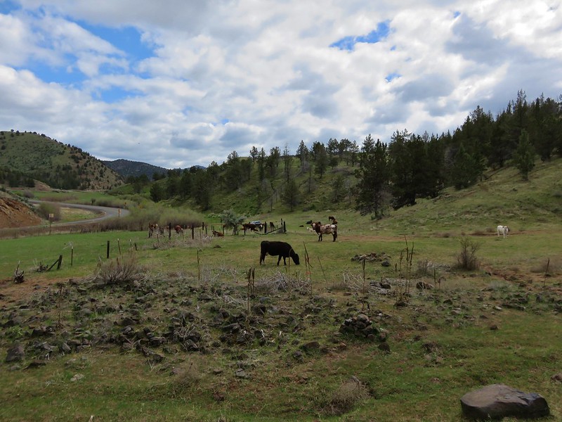
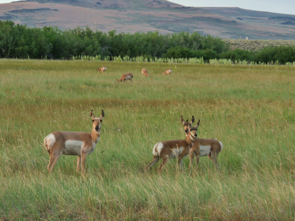 Just a few of the many pronghorn.
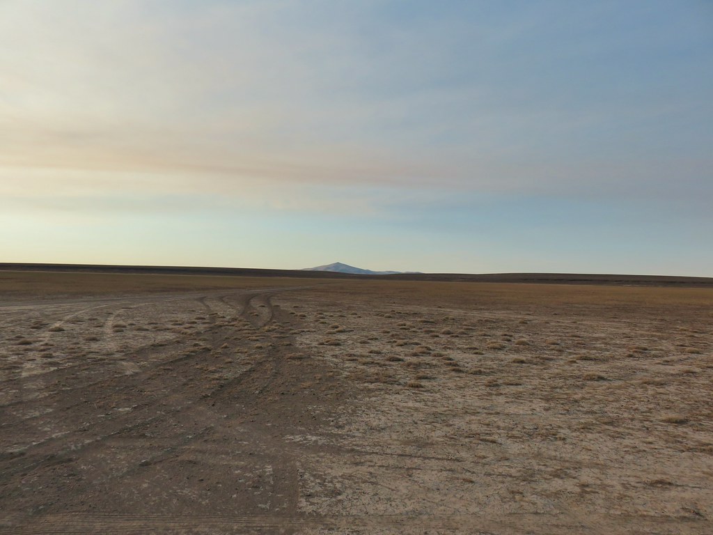 Flook Lake Road continuing on with Beatys Butte in the distance.
 The reservoir
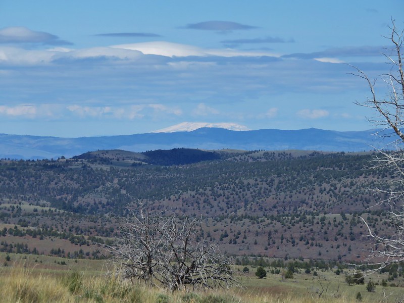
 Steens Mountain on the horizon to the east through smoky skies.
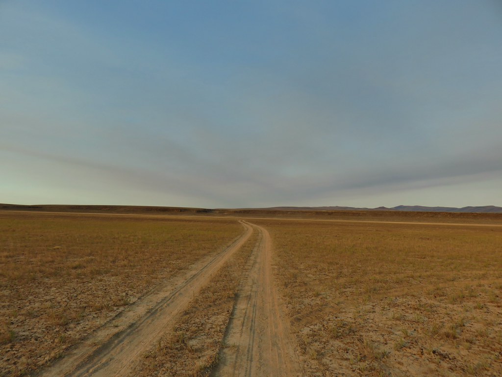 The canyon we were aiming for from near our car.
 Zoomed in a bit.
 Rabbit #1
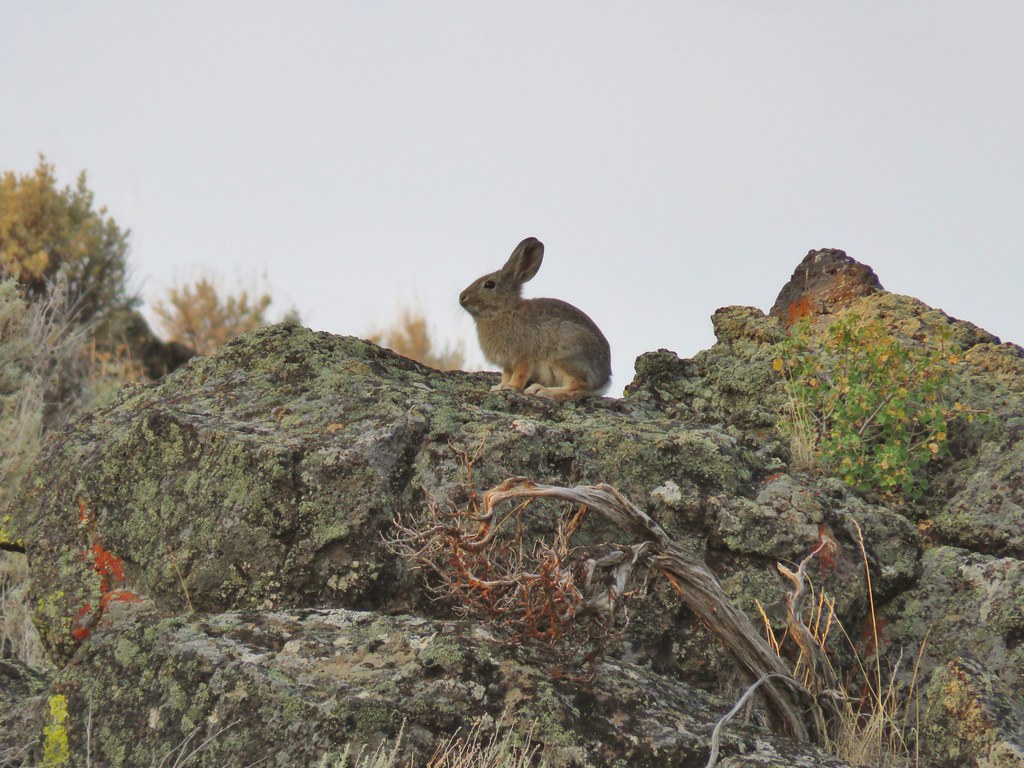 Rabbit #2
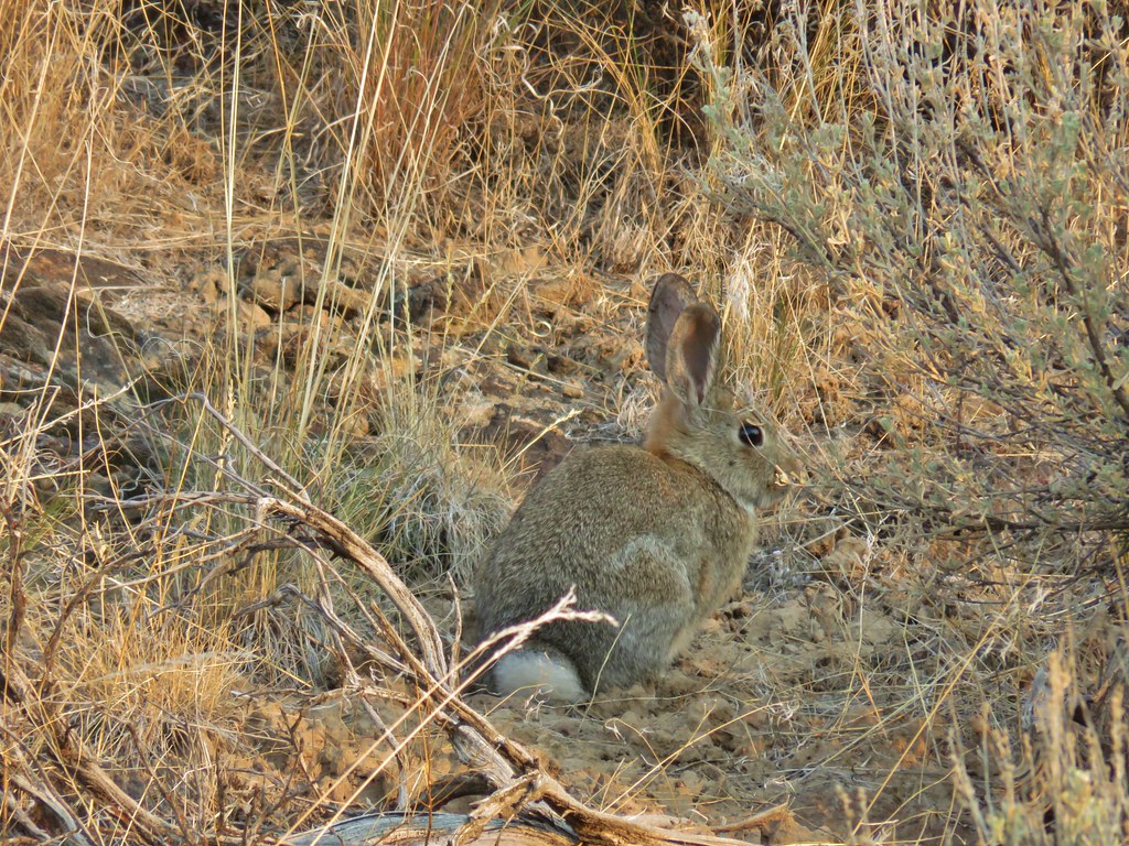 Rabbit #3
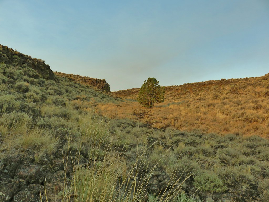 A lone juniper in the canyon.
 Rabbit #4


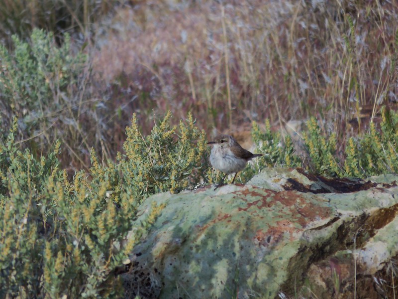
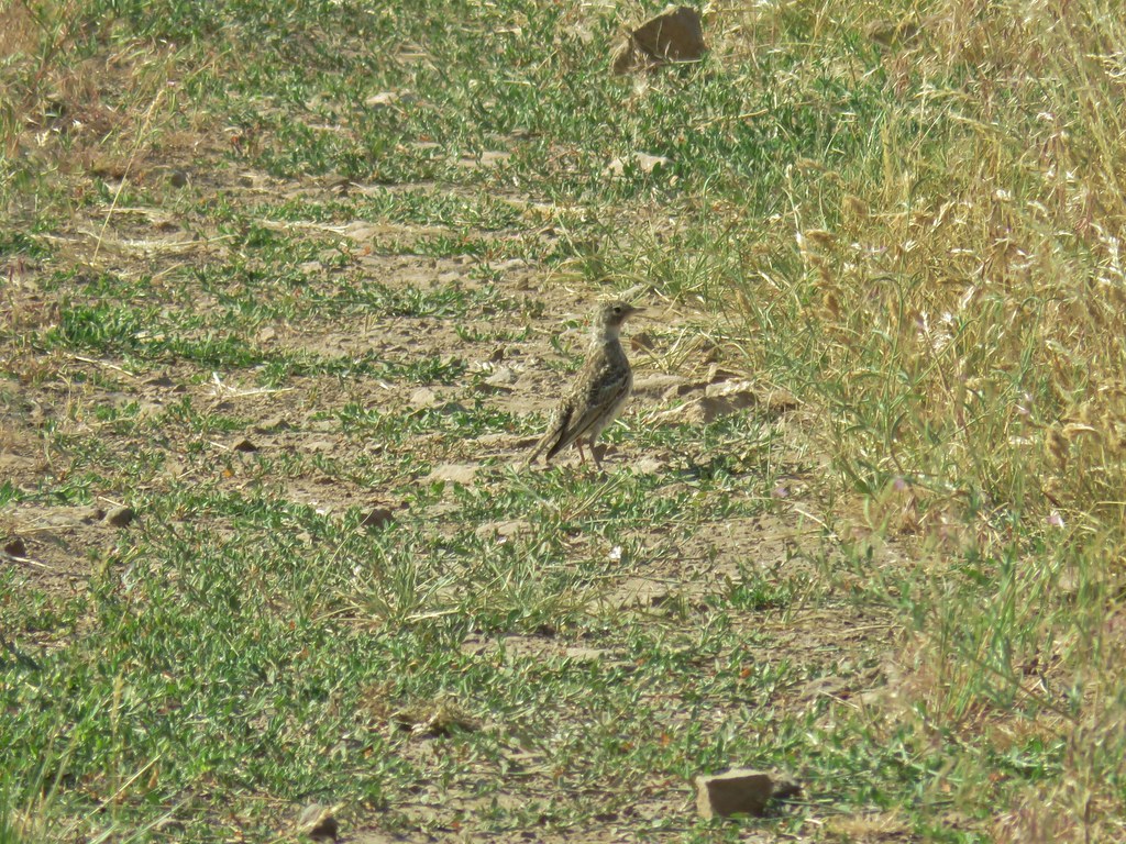
 Horned lark near the spring.
 Rabbit #5, this one was a jack rabbit.
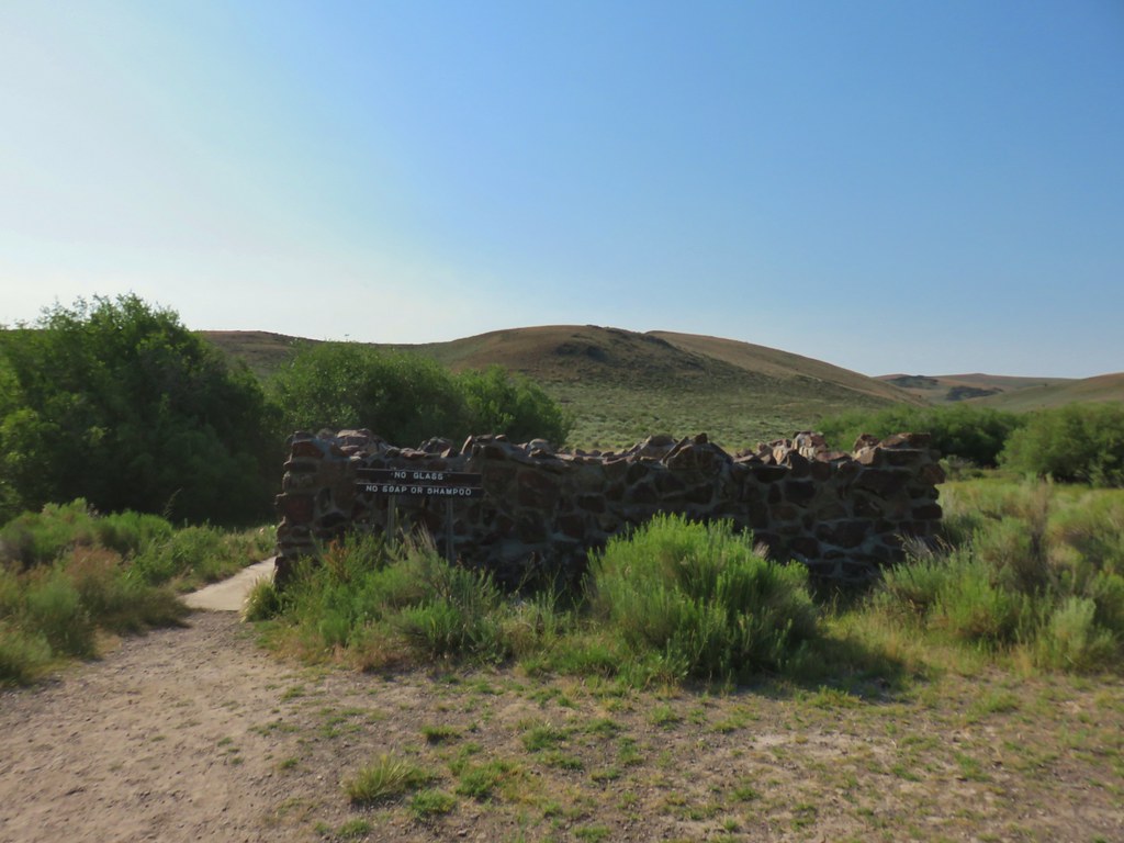
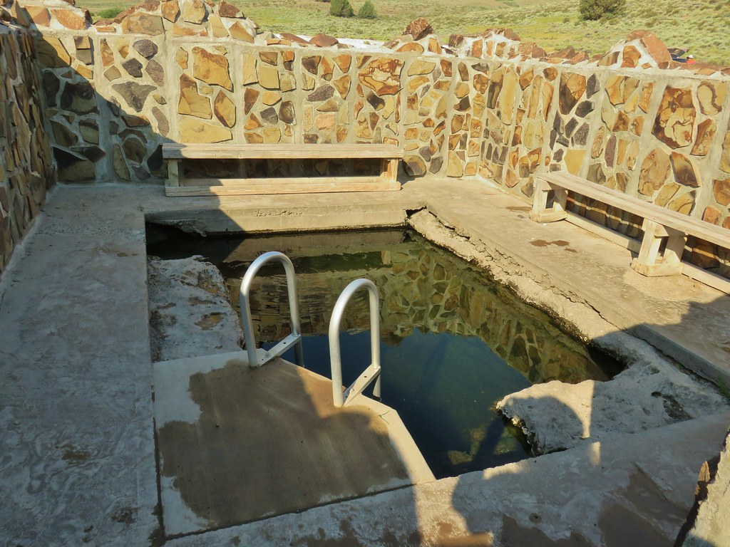
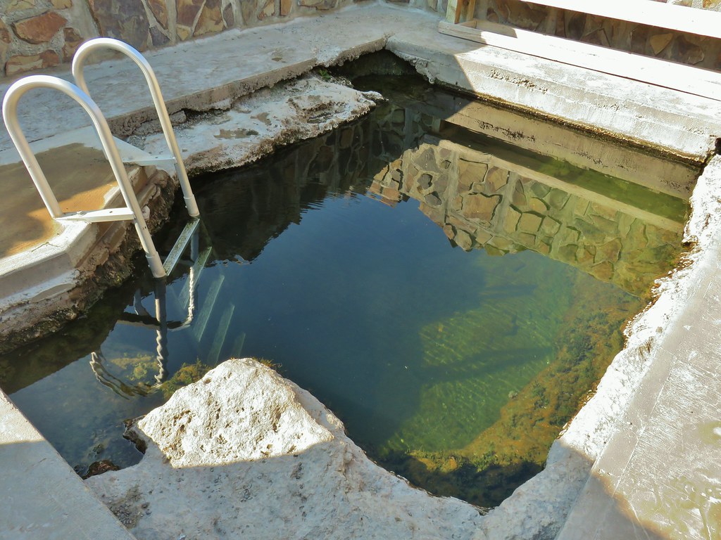


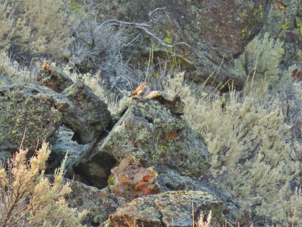
 Hawk hanging out near the hot springs.
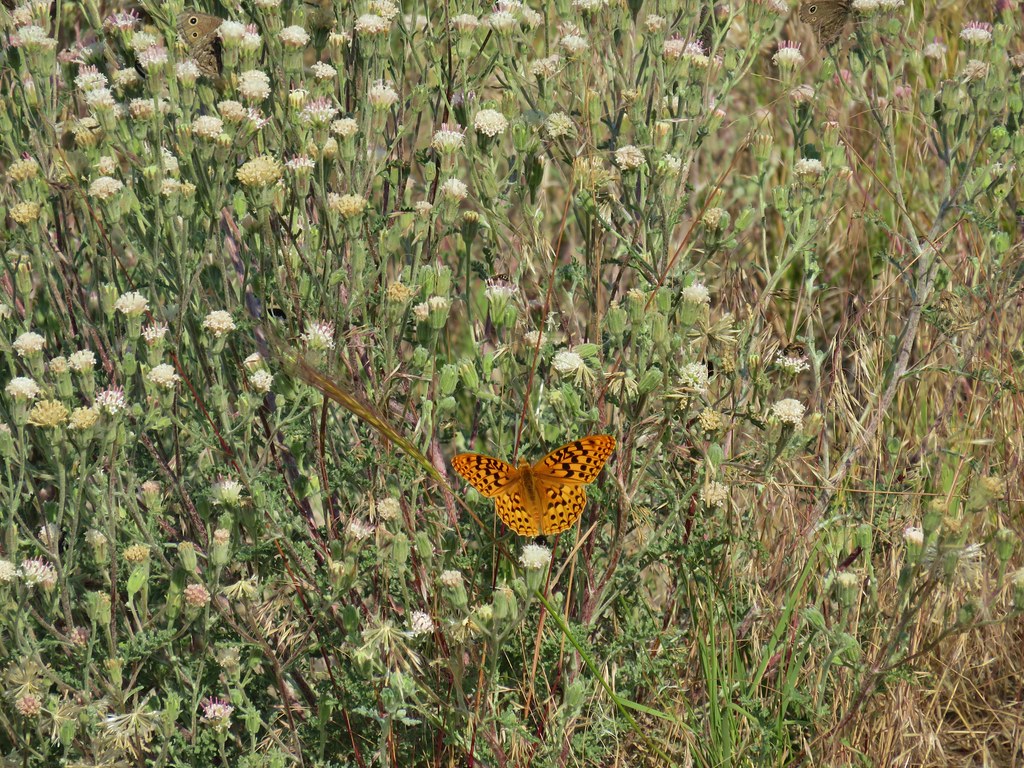 Butterfly on dusty maiden.
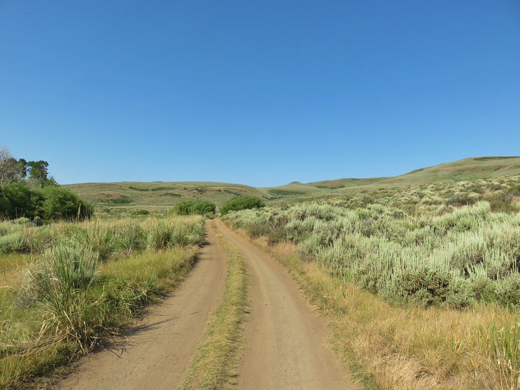 Barnhardi Road
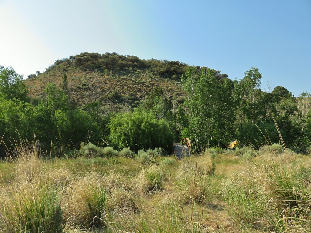 Campground across Rock Creek.
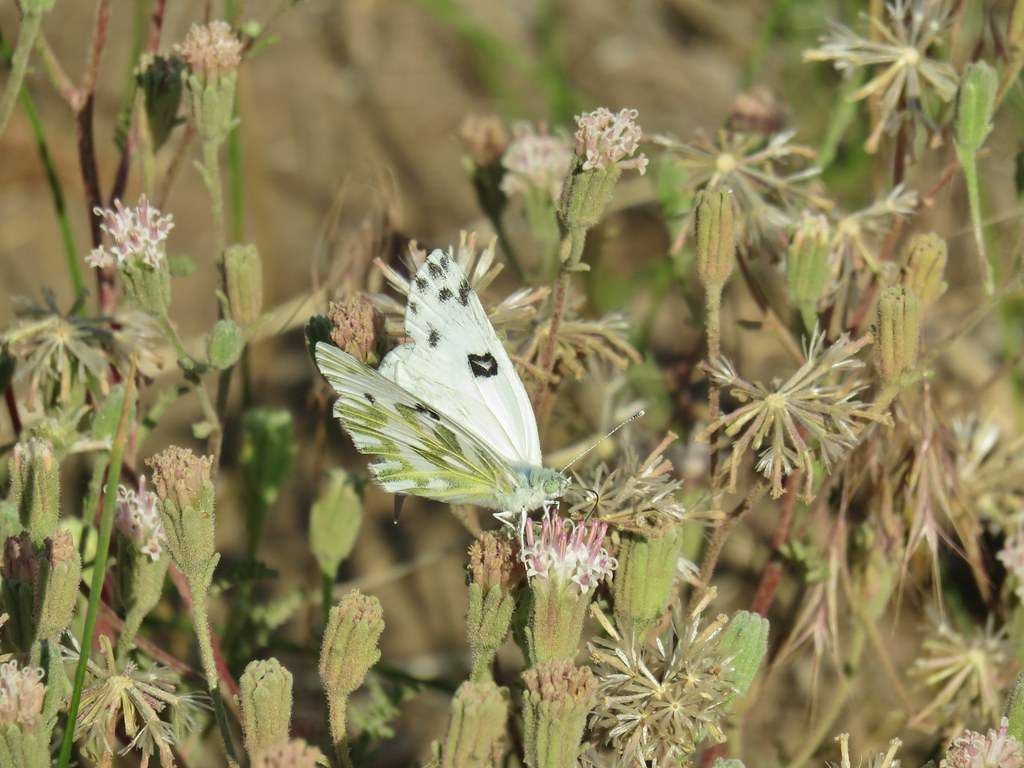 Becker’s white
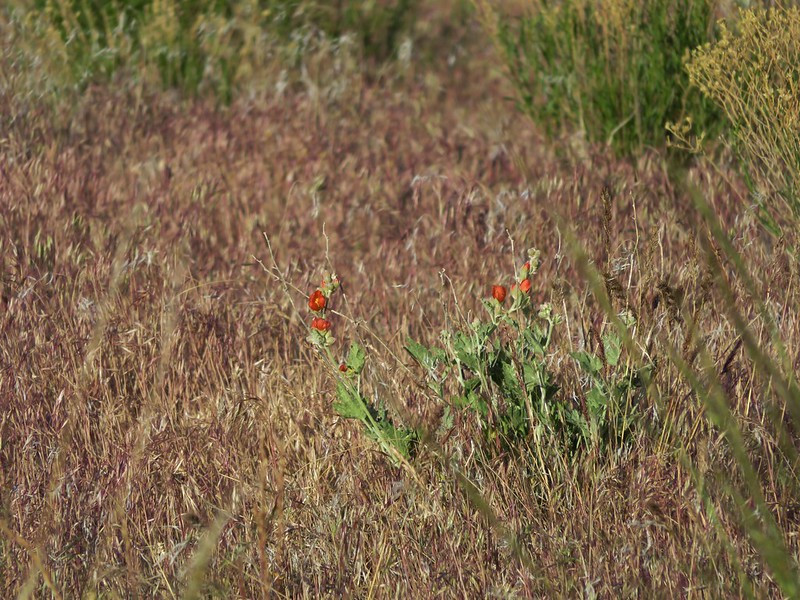
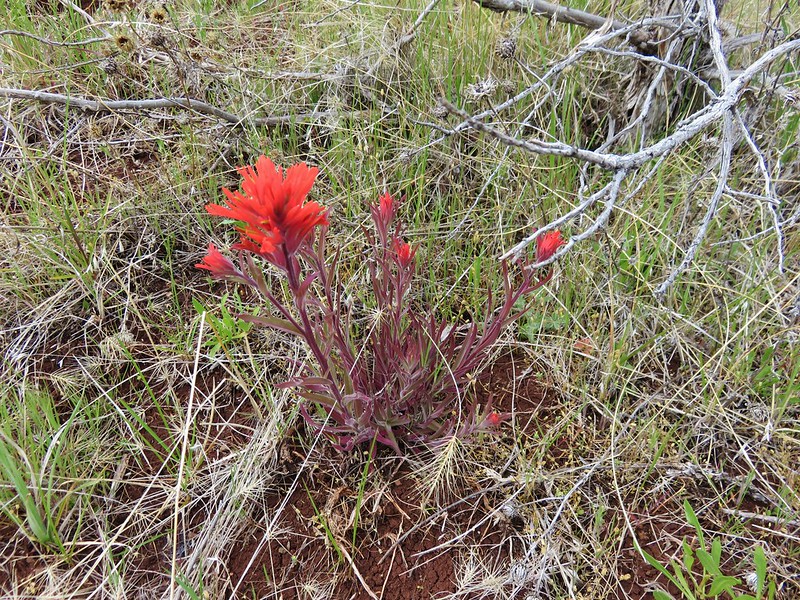
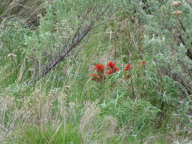
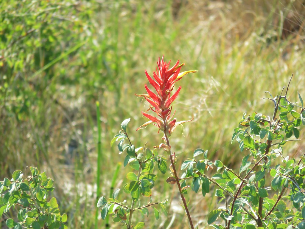 Paintbrush
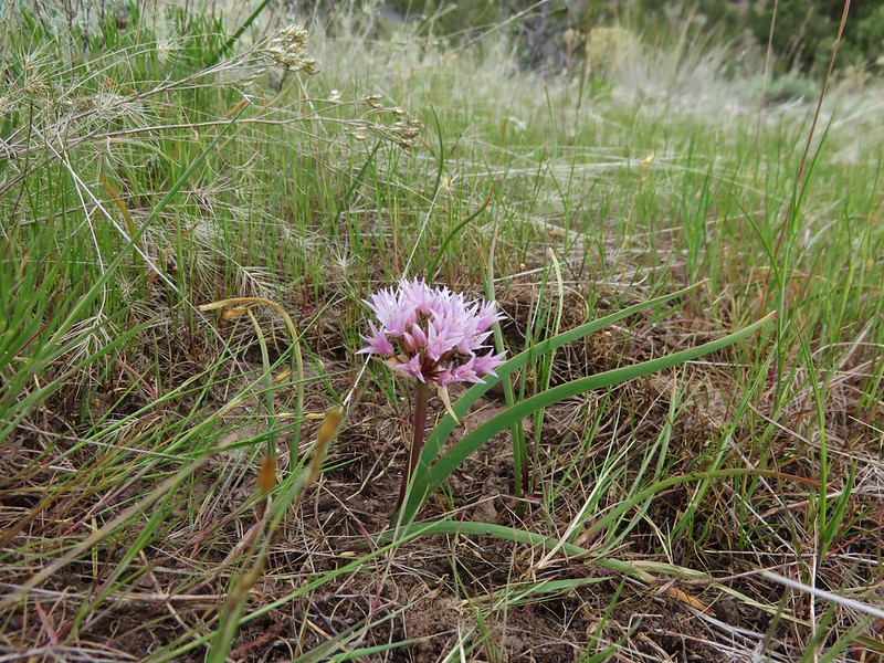
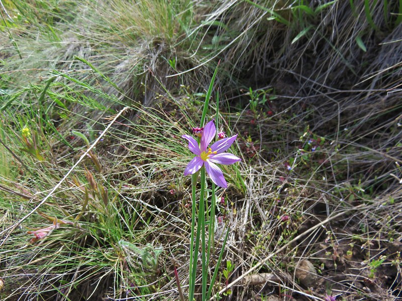
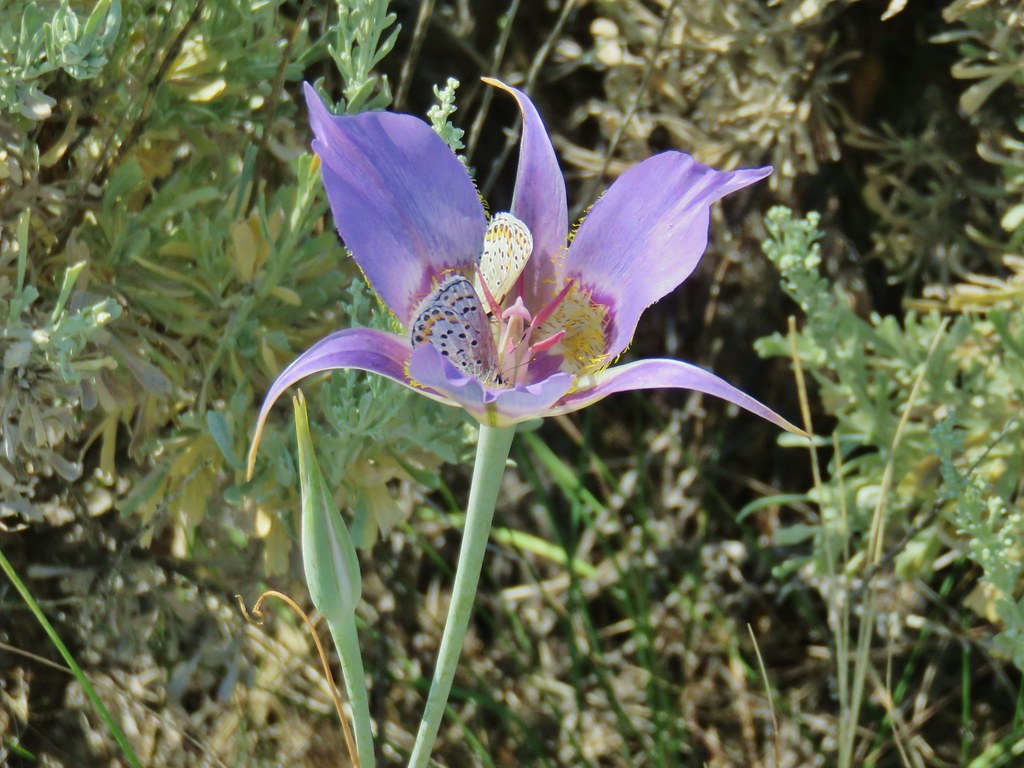
 Sagebrush mariposa lily
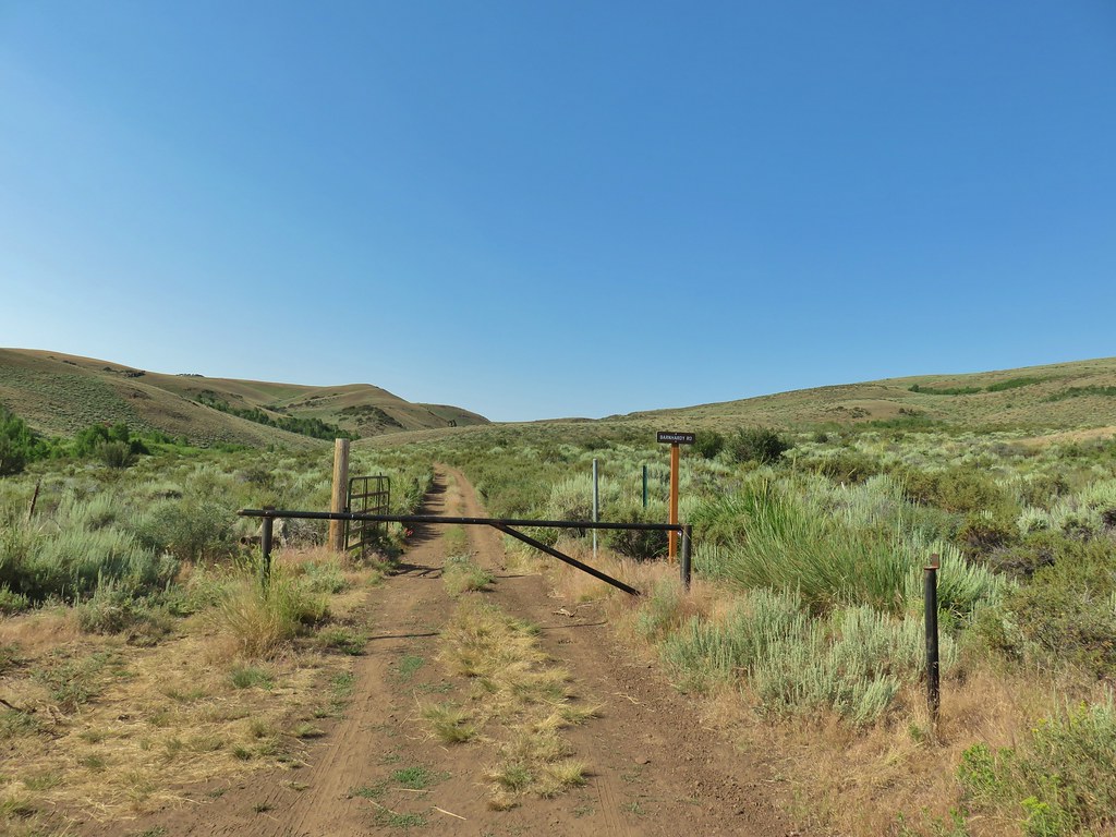
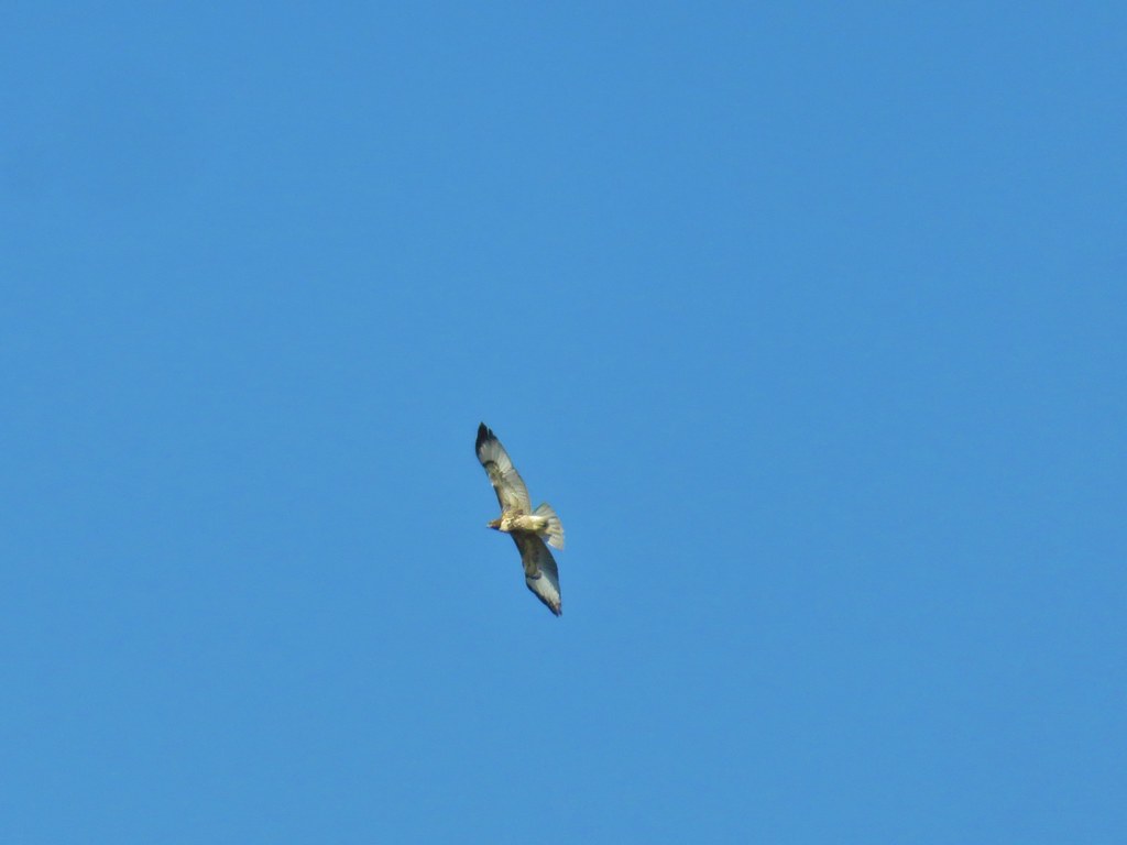 Hawk overhead
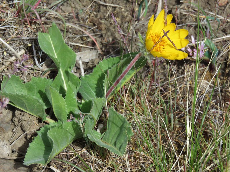
 Balsamroot in the sagebrush.
 Wild roses in a quaking aspen stand.
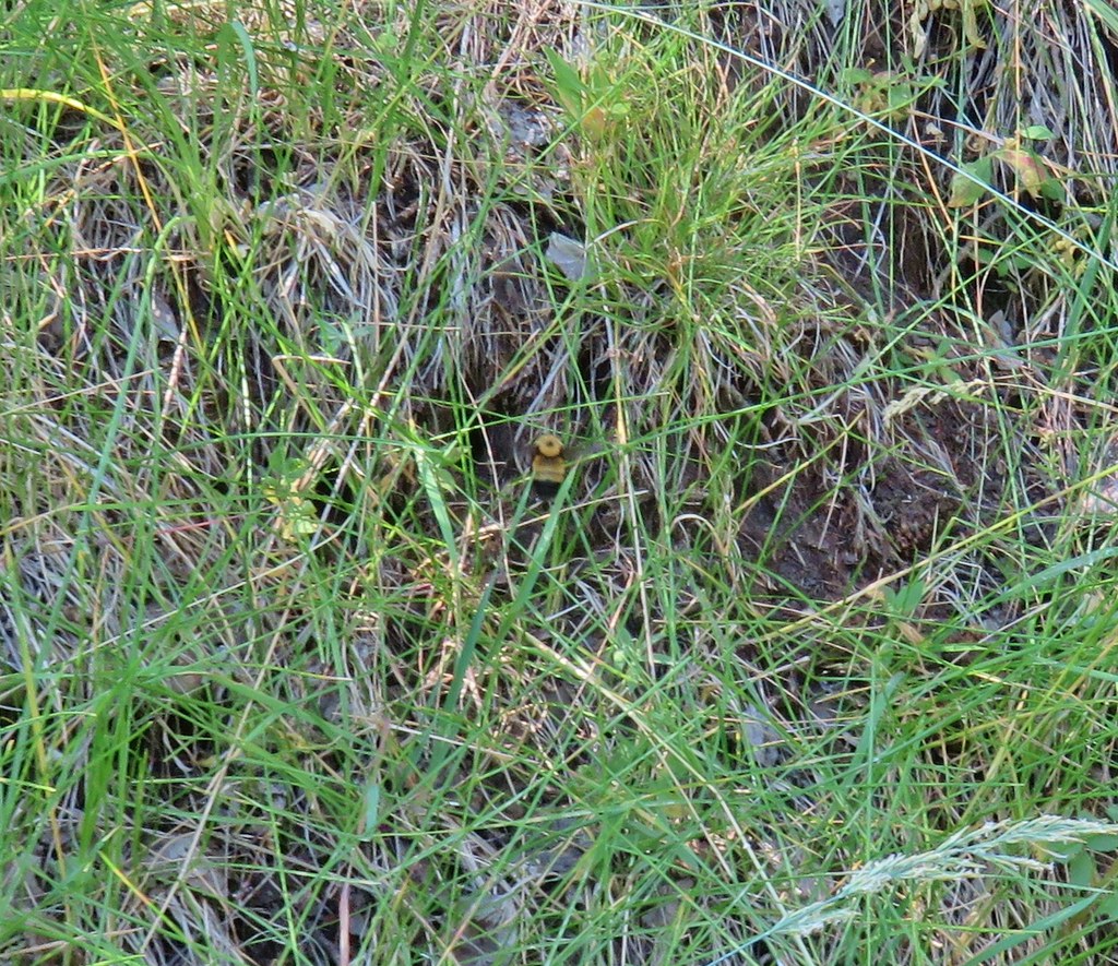 Biggest bumble bee either of us had ever seen.
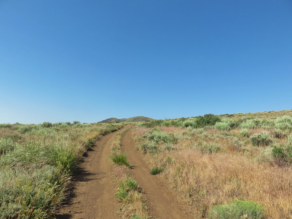 Coming up on the crest at the 1 mile mark.
 View after the crest heading down to Barnhardi Basin.
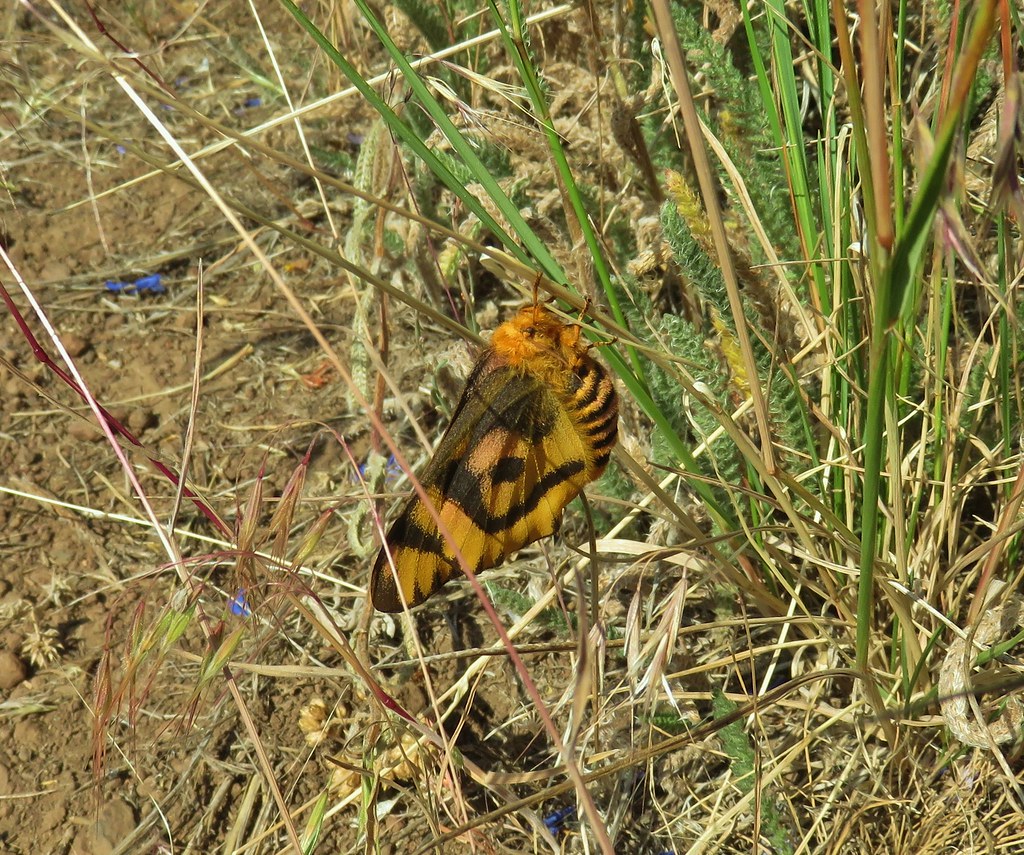 Sheep moth
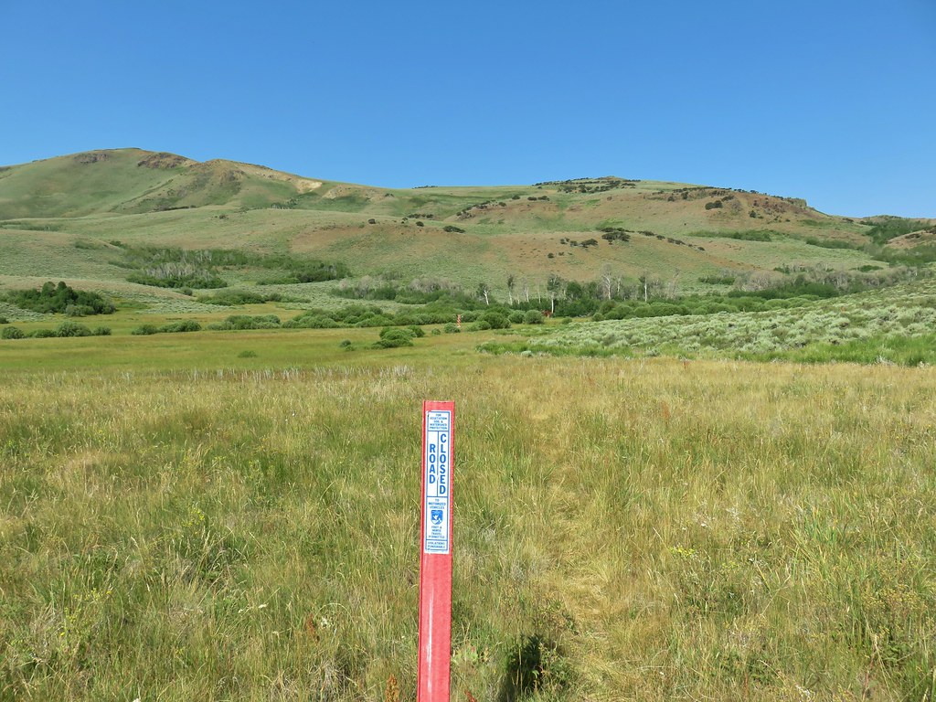
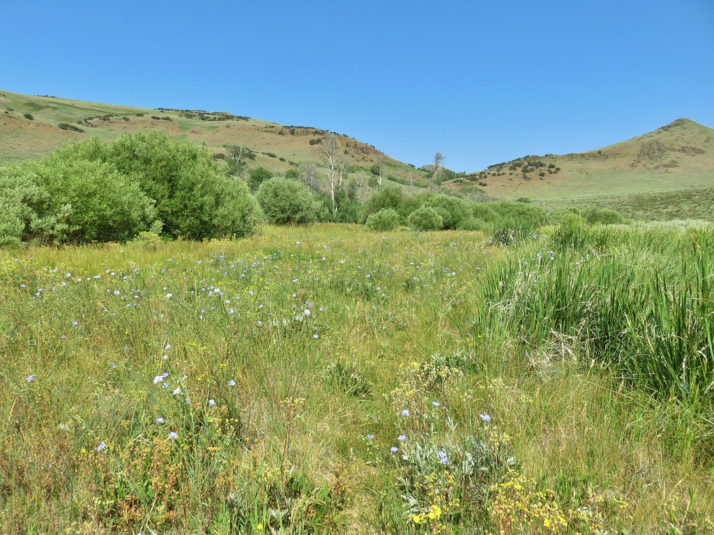 Lewis flax blooming in the meadow.
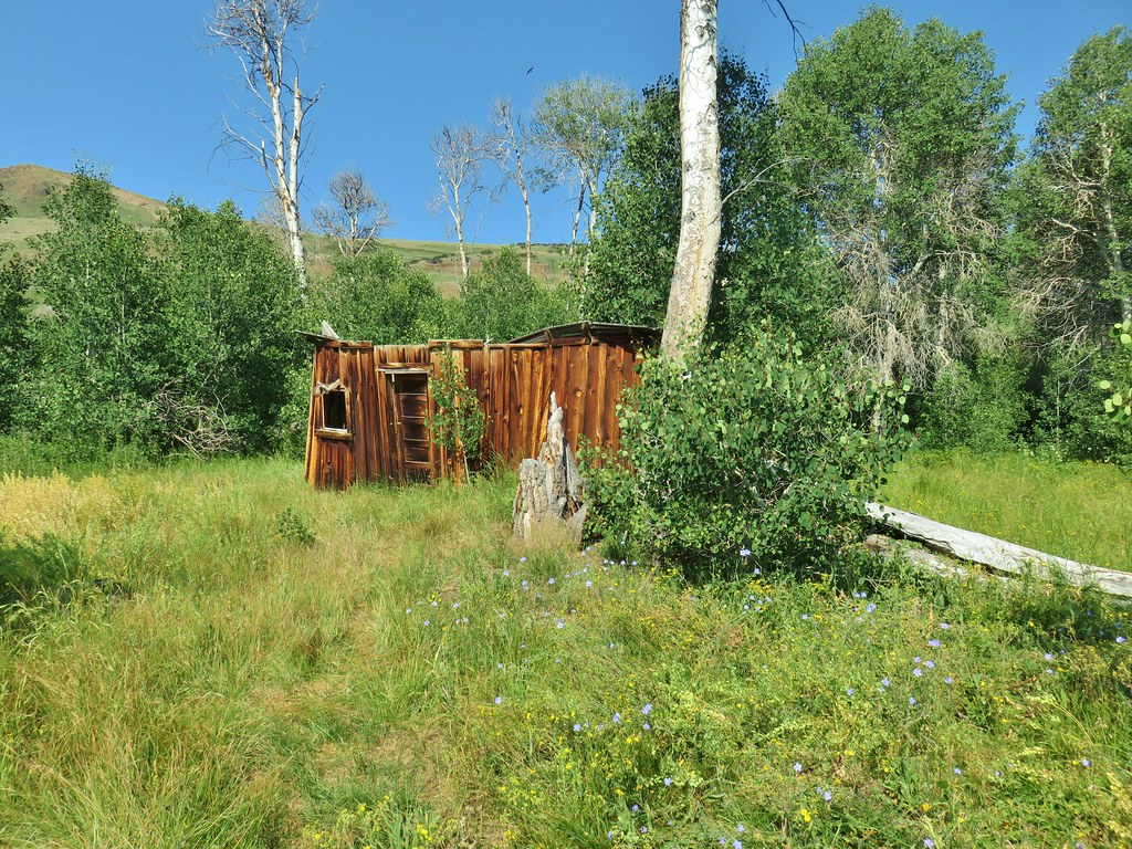 Barnhardi Cabin


 Another sheep moth
 The spring.
 White triteleia
 Barnhardi Basin from the side of the knoll.
 View across the creek.
 The knoll was steeper and brushier than it had appeared from below but we managed to make it around.
 Hawk flying around above us.
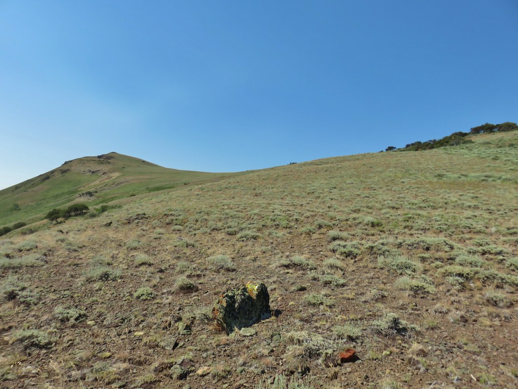 High Point is the peak ahead.
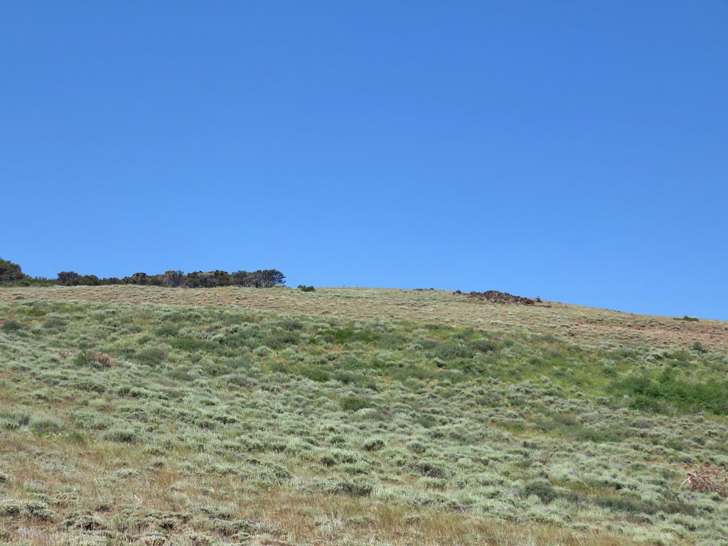
 DeGarmo Notch
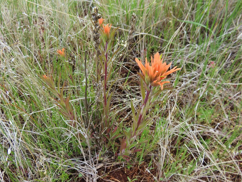
 Paintbrush
 We had to drop under this.
 Warner Peak is straight ahead with a tower on top beyond the line of trees in the distance.
 Barnhardi Basin getting further away.
 Looking back toward DeGarmo Notch.
 We first aimed for the the small rock outcrop beyond High Point then bent to the right to pass the larger rock outcrop before climbing up to the trees in the distance.
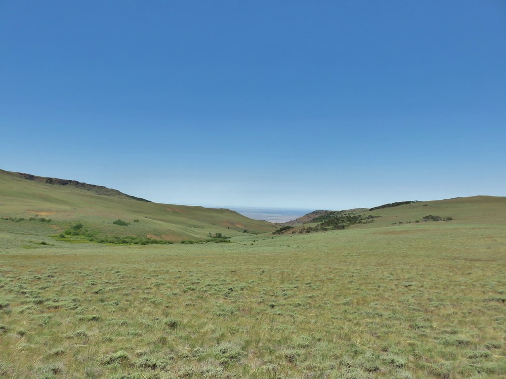
 Made it past the first outcrop and heading for the right side of the second.
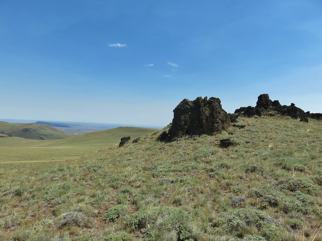 At the second outcrop.


 The white patch in the distance to the right just beyond the shadow is the parking area.
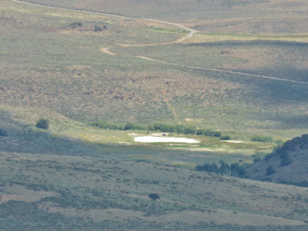 Our car was still there.
 View south over Hart Mountain.
 SW to Drake Peak with part of Hart Lake visible below the cliffs.
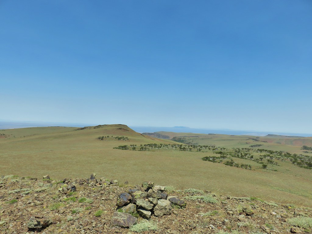 Looking north toward Juniper Mountain.
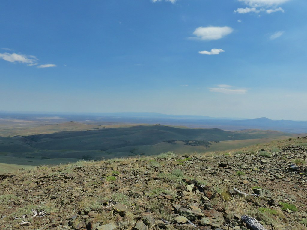 East toward Steens Mountain
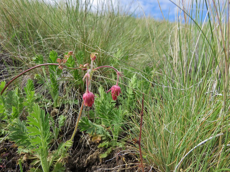
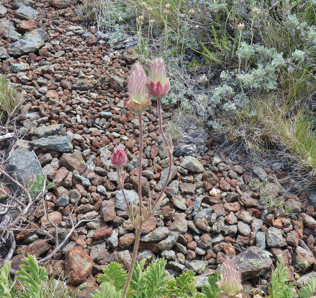 Prairie smoke
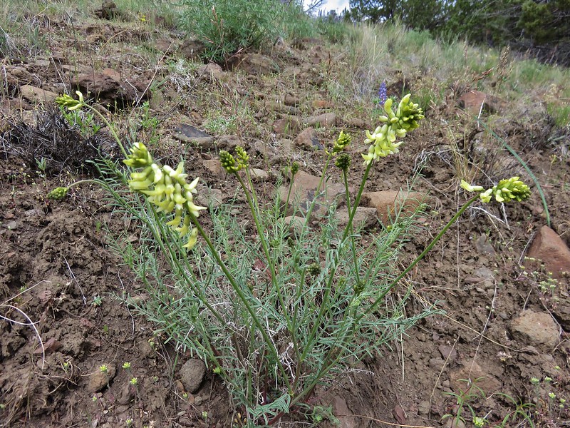
 Balloon pod milk vetch
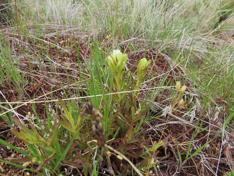
 Paintbrush
 Lupine
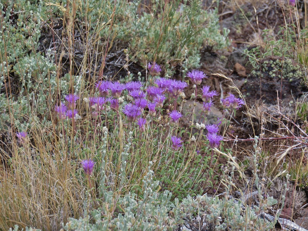 Mountain coyote mint
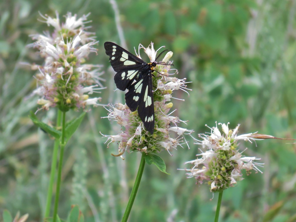 Police car moth on hyssop


 Butterflies on rabbitbrush
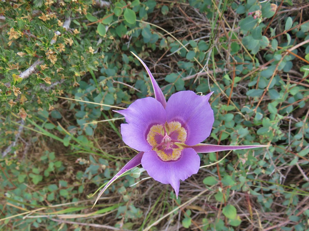 Sagebrush mariposa lily